
State Road 538 - Poinciana Parkway - West
 West
West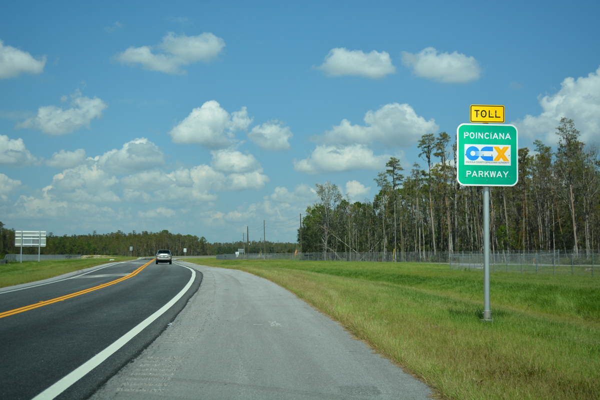
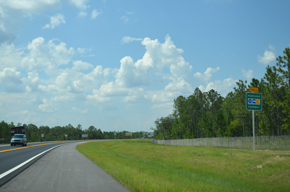
Poinciana Parkway (SR 538) commences its 7.2 mile course north to U.S. 17/92 and Loughman from CR 580 (Cypress Parkway). The toll road provides access from west Poinciana to Interstate 4 and Champions Gate.
09/20/17
Confirming marker for Poinciana Parkway (SR 538) north of the half diamond interchange with Marigold Avenue.
05/31/16
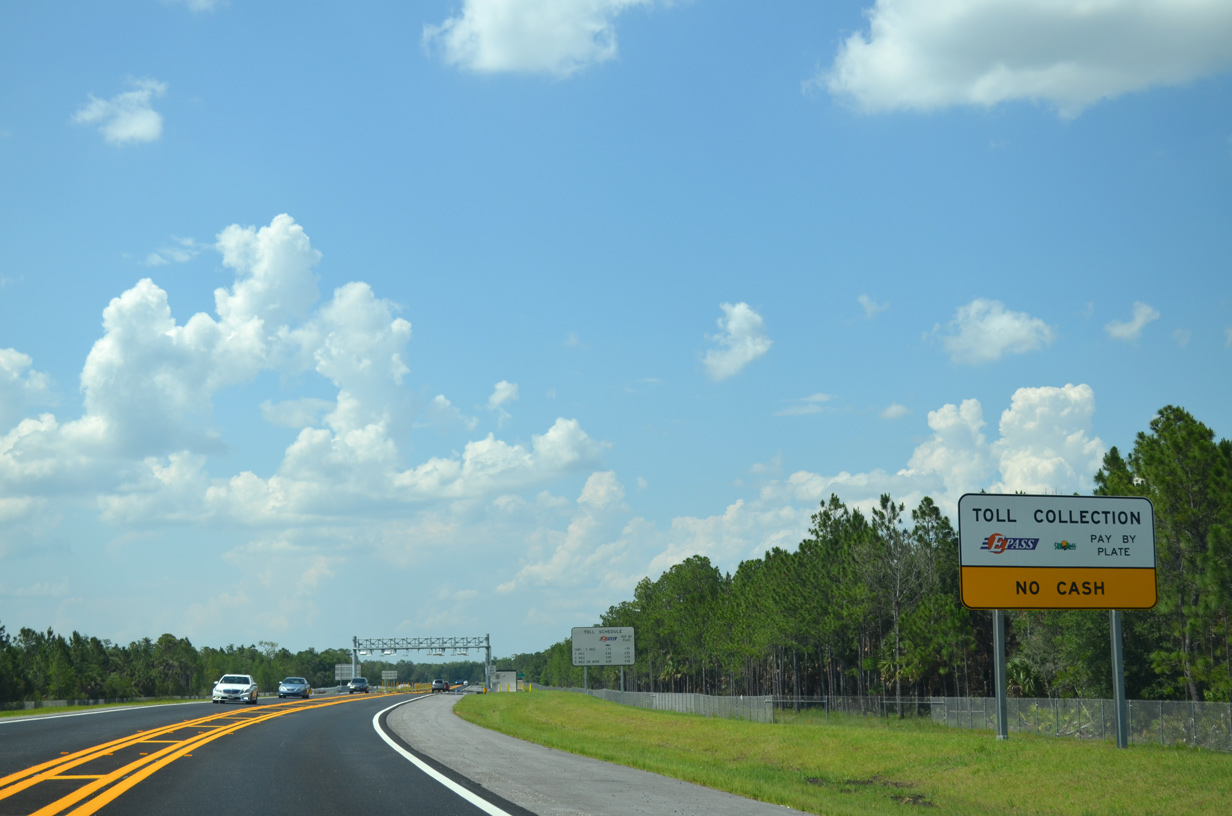
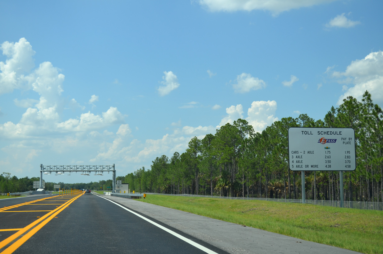
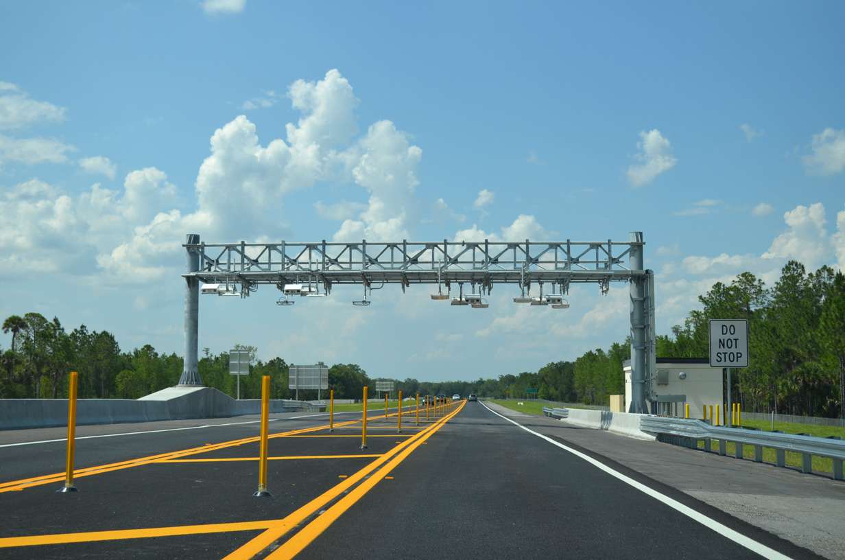
The Marigold Toll Gantry is the second all electronic toll (AET) collection point along SR 538 (Poinciana Parkway) northbound.
05/31/16
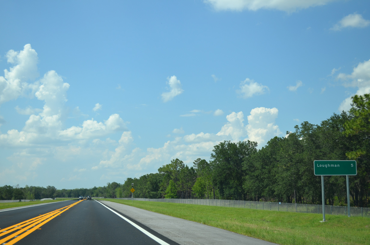
Loughman is the lone control point on this distance sign beyond the toll gantry. An empty space alludes to the potential extension to Interstate 4.
05/31/16
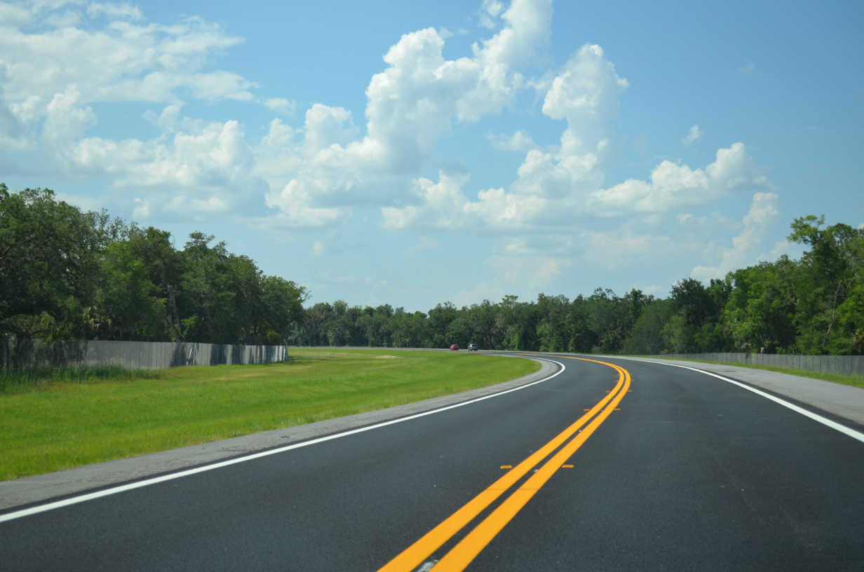
Poinciana Parkway curves northwest toward the Reedy Creek mitigation bank. The southbound roadway was constructed from February 2021 to December 2023.
05/31/16
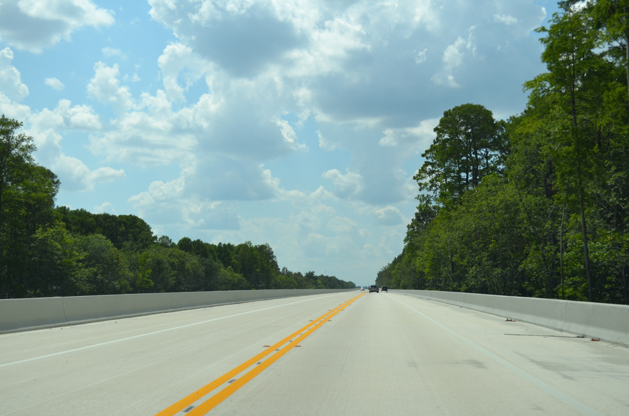
Poinciana Parkway spans the Reedy Creek mitigation bank across a 6,200 foot long viaduct.
05/31/16
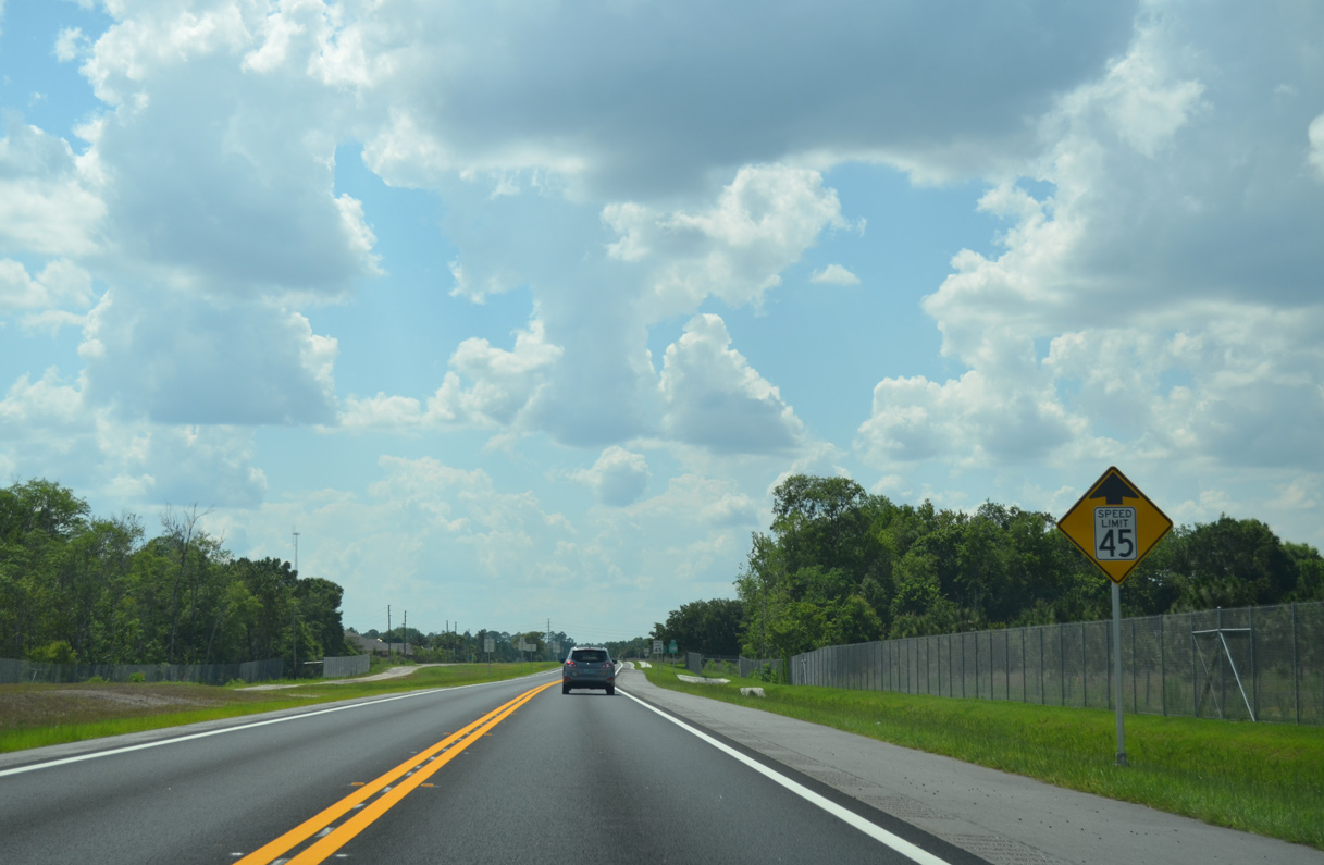
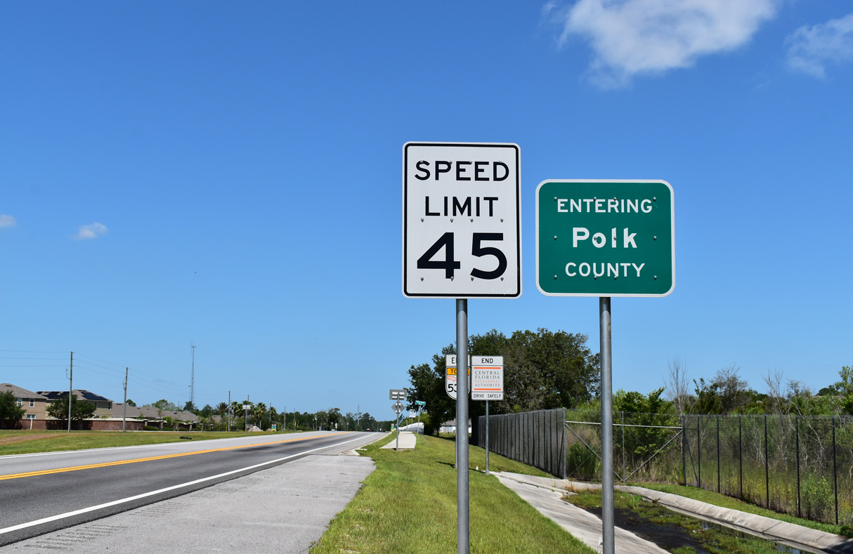
The maximum speed limit reduces along Poinciana Parkway just ahead of the Polk County line.
05/31/16
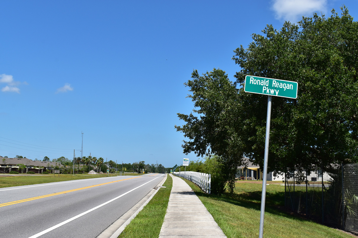
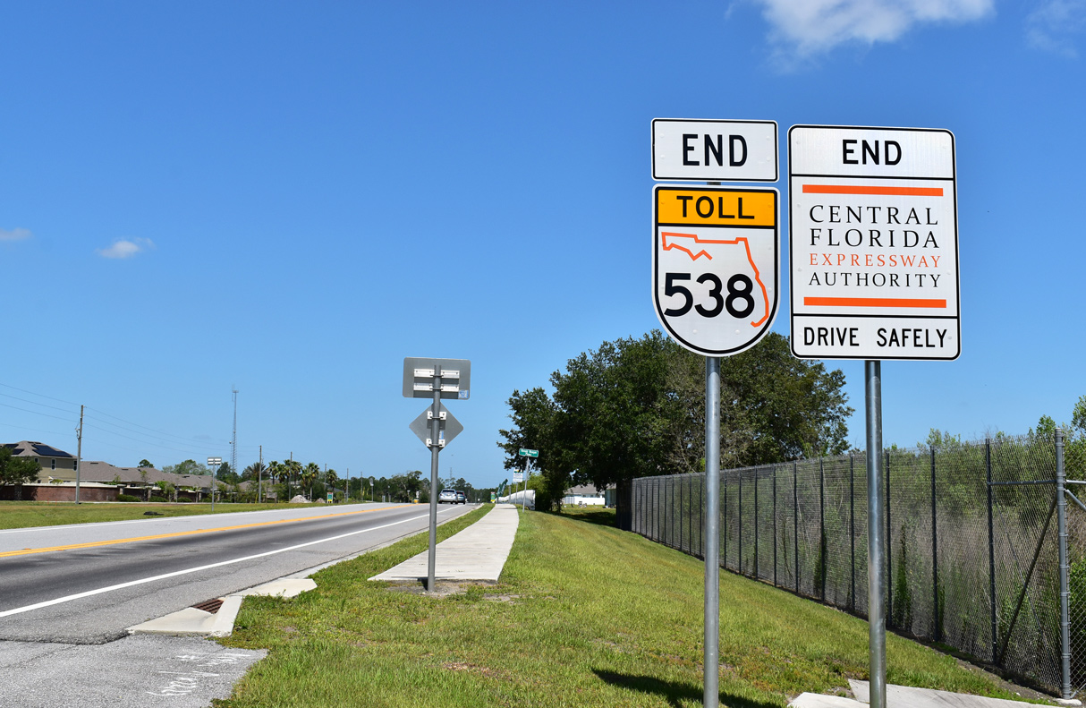
Crossing into Polk County, SR 538 ends and Poinciana Parkway transitions onto Ronald Reagan Parkway.
05/22/20
Sereno subdivision initially lines both sides of Ronald Regan Parkway on the beginning segment west to U.S. 17/92.
05/22/20
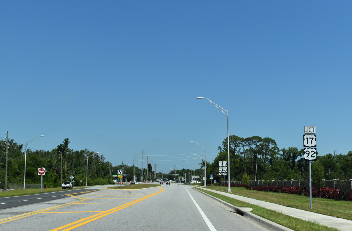
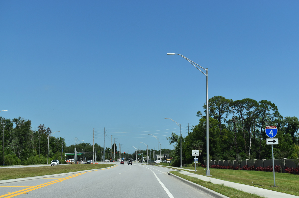
Ronald Reagan Parkway widens just ahead of U.S. 17/92 near Loughman. Vistamar Villages and Loughman Crossing shopping center were both constructed at the previously rural intersection.
05/22/20
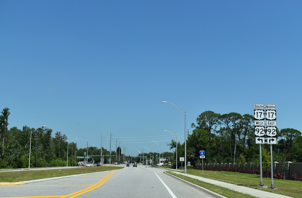
U.S. 17/92 connects central Polk County with the greater Orlando metro area, and in addition to I-4, serves as a major commuter route. The two highways combine for 99 miles from near Lake Alfred to De Land in Volusia County.
05/22/20
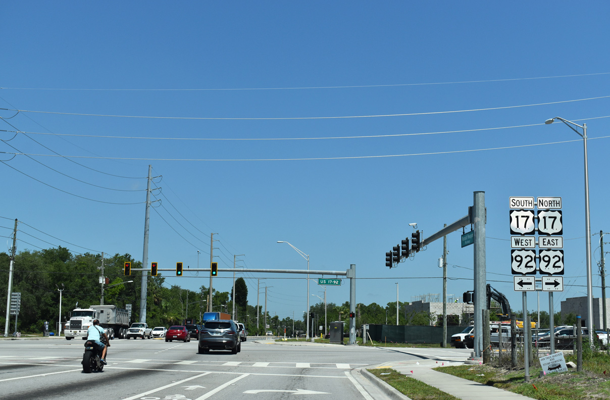
U.S. 17/92 travel southwest six miles to Davenport and 9.3 miles to Haines City. Intercession City and Kissimmee are located to the north and east in adjacent Osceola County. Ronald Reagan Boulevard continues westward to Champions Gate and U.S. 27 at Four Corners.
05/22/20
Photo Credits:
- ABRoads: 09/20/17, 05/22/20
- Alex Nitzman: 05/31/16
Connect with:
Page Updated Monday February 19, 2024.