
Route 72 West


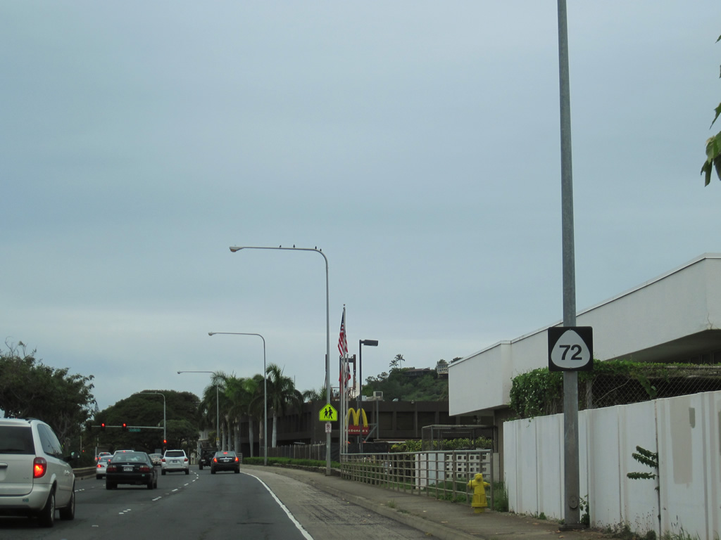
Beginning at Route 61 and Kailua Road in Pohakupu, Route 72 continues Kalaniana'ole Highway south. The first reassurance shield for Route 72 appears after Ulupii Street.
08/09/10
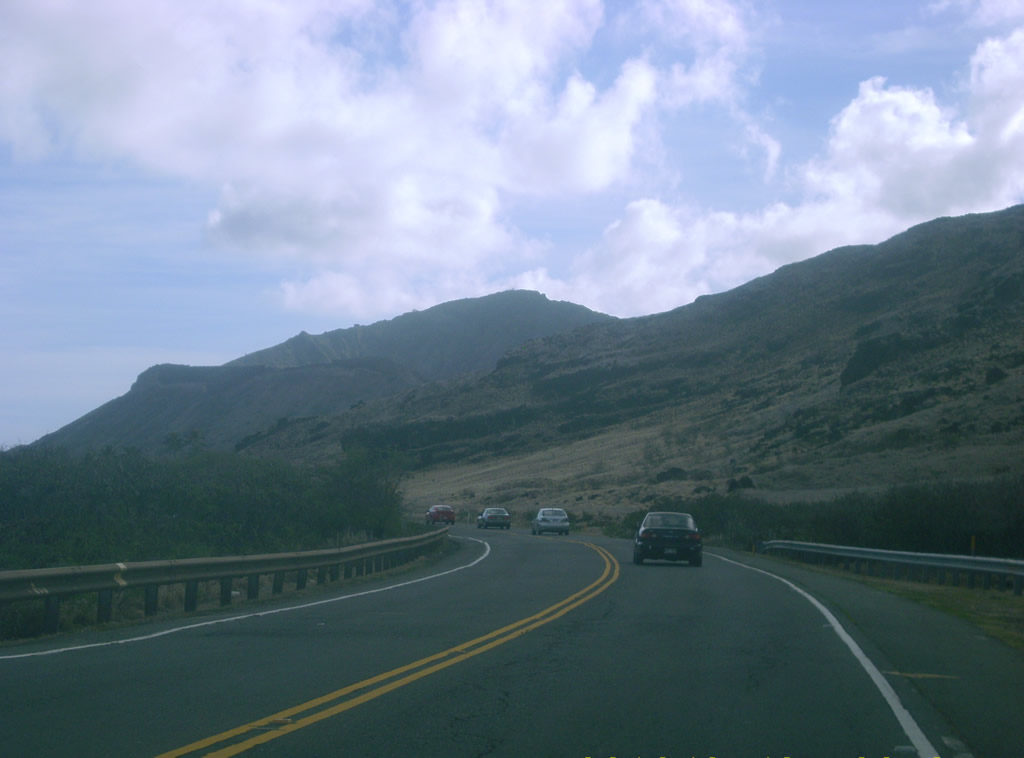
Traveling southwest from Makapu'u Head on Route 72 (Kalaniana'ole Highway).
07/29/10
Kealahou Street (Route 7949) meanders west from Route 72 to residential areas of Kalama Valley. Hawaii Kai Drive (Route 7911) stems west from Kealahou Street to the Kuapa Pond area.
07/29/10
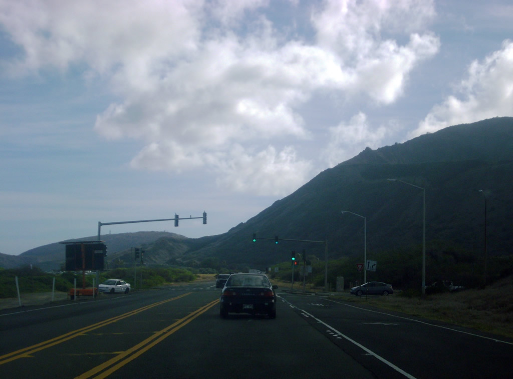
Route 72 (Kalaniana'ole Highway) continues along the Pacific coast by Koko Crater and Halona Point. This shield stands beyond the signal at Kealahou Street.
07/29/10
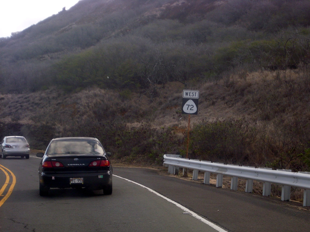
Turning westward toward Maunalua Bay, Route 72 travels between Koko Head and Koko Crater to the Hawaii Kai and Portlock communities.
07/29/10
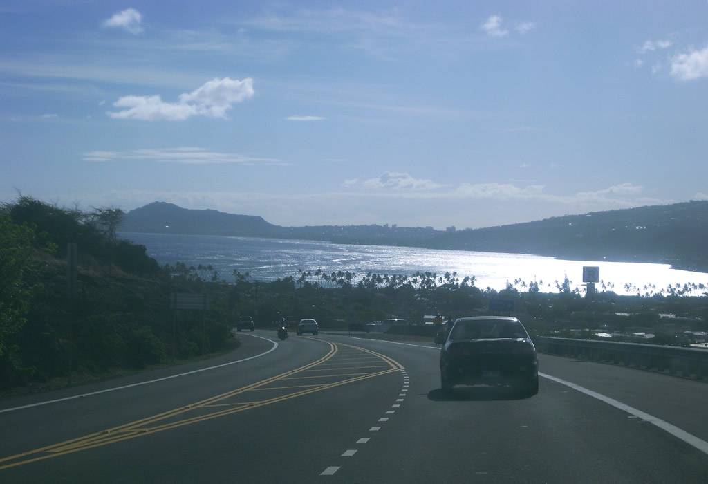
Route 72 (Kalaniana'ole Highway) west at Lunalilo Home Road and Hawaii Kai. Lunalilo Home Road (Route 7910) heads north along Kuapa Pond to the Kamilo Valley.
07/29/10
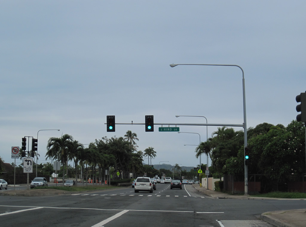
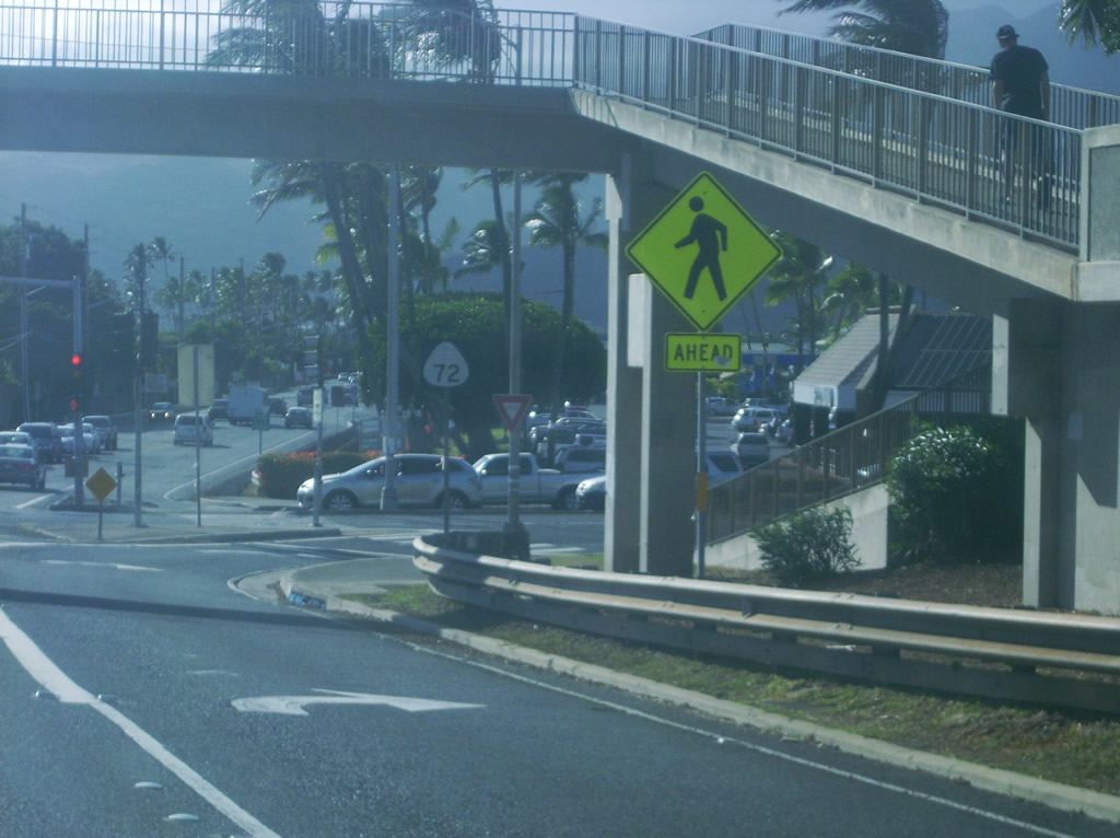
Route 72 west at E Hind Drive (Route 7942) and the Aina Haina community. Hind Drive constitutes a 1.126 miles long loop serving residential areas north to Wailupe Gulch.
01/18/11
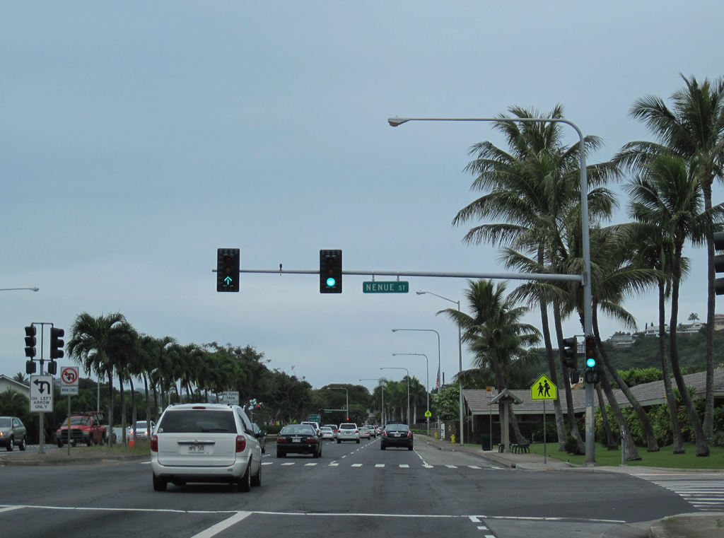
Nenue Street arcs north and west from Route 72 (Kalanianaole Highway) to W Hind Drive. The street connects with a public library and retail area along the north side of Route 72.
01/18/11
Route 72 shield assembly posted between Nenue Street and W Hind Drive (Route 7942).
01/18/11
Kalanianaole Highway intersects W Hind Drive (Route 7942) with six overall lanes.
01/18/11
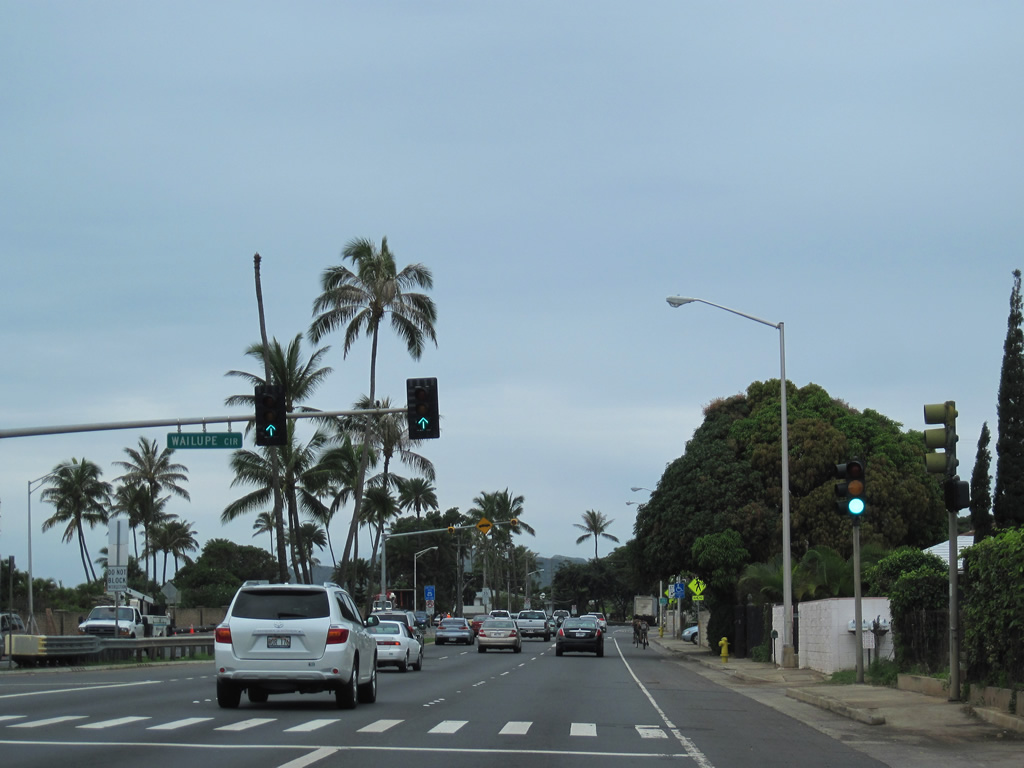
Wailupe Circle is the entrance to the Wailupe community along Wailupe Peninsula, south of Route 72 on Maunalua Bay.
01/18/11
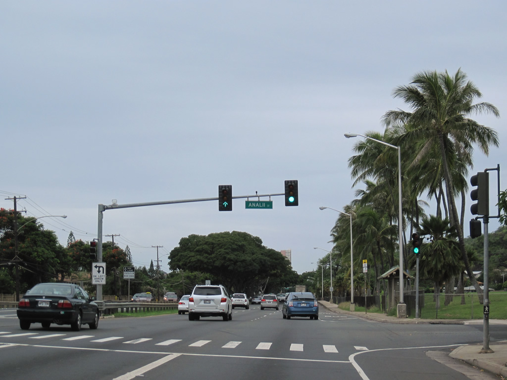
Analii Street loops north around Waialae Iki Park from Route 72 at Kaimoku Place to Laukahi Street (Route 7948).
01/18/11
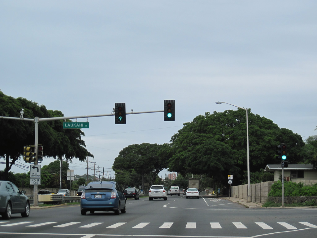
Laukahi Street meanders northward from Route 72 at Waiholo Street onto Wiliwilinui Ridge.
01/18/11
The final shield for Route 72 posted along Kalaniana'ole Highway west appears after Laukahi Street.
01/18/11

Kalaniiki Street south and Waieli Street south come together at this traffic light from adjacent residential areas.
01/18/11
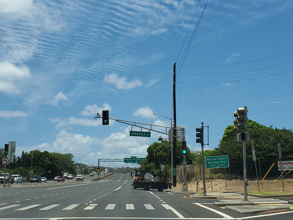
Route 72 transitions into the Lunalilo Freeway (Interstate H1) after Ainakoa Avenue (Route 7941). County Route 7941 spurs 1.70 miles north along Ainaoka Avenue and Halekoa Drive to the Waialae Ridgeline Estates community.
08/16/19
Photo Credits:
- Larry Epstein: 07/29/10, 08/09/10
- Alex Nitzman: 01/18/11
- Andy Field: 08/16/19
Connect with:
Page Updated Thursday January 18, 2024.