
Interstate H1 - Lunalilo Freeway / Queen Liliuokanai Freeway
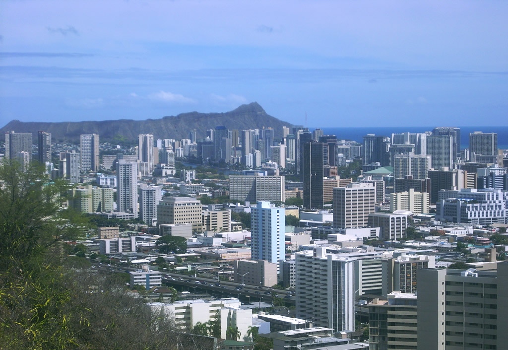
The view from Punchbowl National Memorial Cemetery southeastward of the Honolulu skyline and Diamondhead. Interstate H1 travels a viaduct over Pensacola and Piikoi Streets below. Photo by Larry Epstein - 07/29/2010
Hawaii's oldest and most congested freeway, H-1 is the primary freeway along the south shore of Oahu. Beginning at the former Barbers Point NAS and Ewa plantation, it proceeds east around Pearl Harbor, dives south to serve Honolulu International Airport, then east through densely populated Honolulu and north of Waikiki Beach, to end short of Koko Head.
Portions of H-1 predate statehood, as an upgrade of Lunalilo Street, the freeway's namesake. The oldest section, from Punahou street east to King Street (Exits 23-25), was open before 1959. Originally signed as Route 72, this section shows its age today, as it resembles freeways in downtown Los Angeles more than a present-day freeway.
H-1 is notoriously congested at all hours of the day, with little to no room for expansion. Hawaii DOT has some unique features on the western segment, including an HOV lane during morning rush hour where two westbound lanes are converted into an eastbound HOV lane. Some sections have been widened as time permits, but with the rapid growth of the Ewa area as a bedroom community for Honolulu, traffic will probably continue to worsen as time goes on.
Interstate H1 Guides
East - Queen Liliuokanai Freeway - 67 photos
East - Lunalilo Freeway - 42 photos
West - Lunalilo Freeway - 55 photos
West - Queen Liliuokanai Freeway - 65 photos
The following timeline shows the general construction of Route 72, later renumbered as H-1.
- 1953. First section of the Mauka Arterial opened. The Mauka arterial was approximately a mile section around University Avenue, present-day Mile 24.
- 1959. At statehood, the first section of what is now called the Lunalilo Freeway open between Punahou Street (Mile 23) and King Street (Mile 25). Maps show a proposed route from Punahou Street west to Middle Street (present H-1/H-201 interchange).
- 1960. Freeway extended west to Ke'eaumoku Street (approximately 1/2 mile west of Punahou Street). A section of present-day H-201 opened thru Fort Shafter, signed as Route 72. Sections from Fort Shafter east to Houghtailing Street (Exit 20B) and the Pali Highway interchange (exit 21A/B) under construction.
- 1961. Open sections are Pu'uloa Road (present-day H-201) to Houghtailing Street (Exit 20B), the Pali Highway interchange, and Ke'eaumoku Street to King Street.
- 1964. The section from Kapahulu Street (Mile 25) east to Koko Head Ave (Exit 26A) under construction.
- 1965. Kapahulu Street to Koko Head Ave open. There is a gap in existing freeway sections between King Street and Kapahulu Street; this short 1/2 mile section is under construction.
- 1967. H-1 first appears on maps, cosigned with Route 72. The freeway is continuous from Pu'uloa Road east to Pele Street (just east of Pali Highway, Route 61), as well as the existing sections from Ke'eaumoku Street to King Street and Kapahulu Street to Koko Head Ave. The western section between Kunia Road and Kamehameha Highways (Exits 5 through Exit 8A) is open, with the section between Miles 0 and 5 under construction.
- 1968. The gap between King Street and Kapahulu Street is opened. H-1 is extended east to its present terminus east of Kilauea Ave. There is still a gap between Pele Street and Ke'eaumoku Street.
- 1972. H-1 is open from Kamehameha Highway (Western terminus) to Kaimakani Street, immediately west of the Halawa interchange. The Hawala interchange and sections of H-1 to Middle Street are proposed. From Middle Street east to Kilauea Ave is completed freeway. Route 72 is truncated at the eastern end of H-1; the orphaned section between Pu'uloa Road and Middle Street is re-signed as Route 78.
- 1986. H-1 is completed between Nimitz Highway and Middle Street (Miles 18-19), completing H-1. The through lanes of H-1 east use the Middle Street tunnel, completed in 1961 for the Middle Street off-ramp.
Joel Windmiller's research helped in creating this timeline.
 scenes
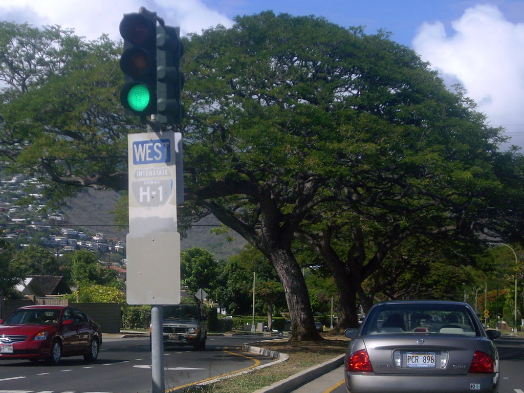
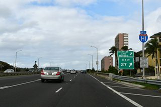
An older trailblazer for Interstate H1 west appeared at the median of Kilauea Avenue northbound at Hunakei Street at Wai'alae.
07/29/10
Kilauea Avenue continues north to meet Kalanianaole Highway the I-H1 frontage road. Westbound Kalanianaole Highway travels to Hunakai Street and an on-ramp to the Lunalilo Freeway. I-H1 east becomes Route 72 (Kalanianaole Highway) east beyond Kilauea Avenue.
07/29/10
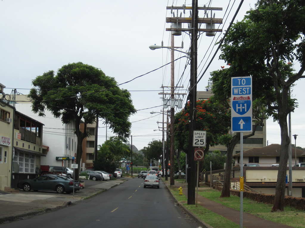
Interstate H1 trailblazer posted along 11th Avenue south between Waialae Avenue (former Route 72) and Harding Street at the Kaimuki area in east Honolulu. 11th Avenue defaults onto I-H1 westbound in a block and a half.
01/18/11
Harding Street parallels Interstate H1 from the Waialae area to King Street. 11th Avenue has a traffic light with the residential street before turning onto Lunalilo Freeway west.
01/18/11
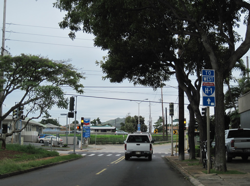
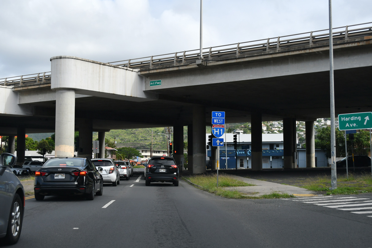
11th Avenue was cut by construction of Interstate H1. Motorists entering the westbound freeway continue to Downtown Honolulu and Kalihi.
02/06/24
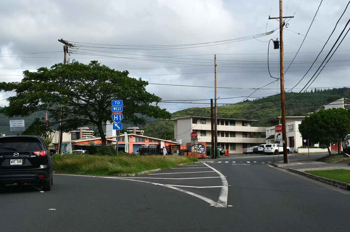
Harding Street west at 11th Avenue one block north of Interstate H1 (Lunalilo Freeway) in the Kaimuki neighborhood of Honolulu.
02/06/24
Kapahulu Avenue extends northward from the south end of Waikiki to pass under Interstate H1 at Harding Street.
02/04/24
Waialae Avenue leads west from the north end of Kapahulu Avenue to I-H1 west while Waialae Avenue turns southeast into the Kaimuki neighborhood street grid.
02/04/24
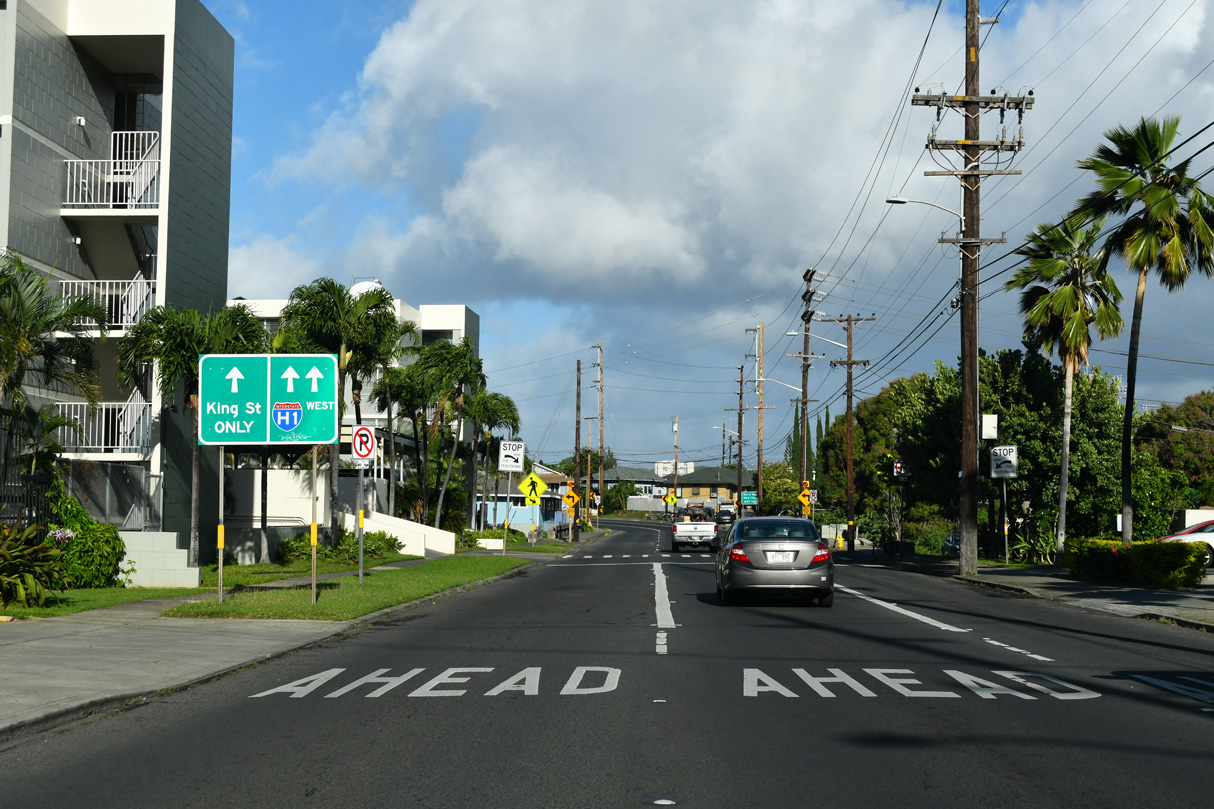
This section of Waialae Avenue is one way westbound until its end at King Street on the west side of Lunalilo Freeway.
02/04/24
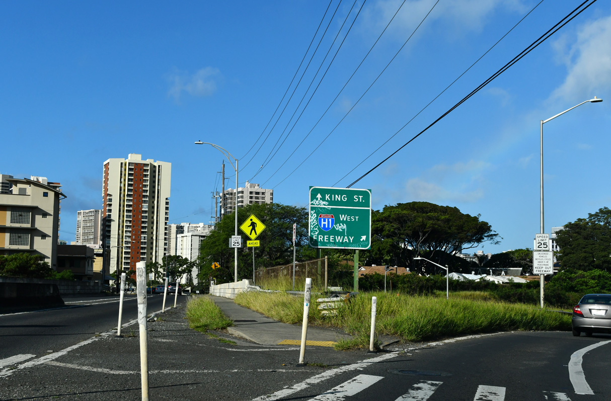
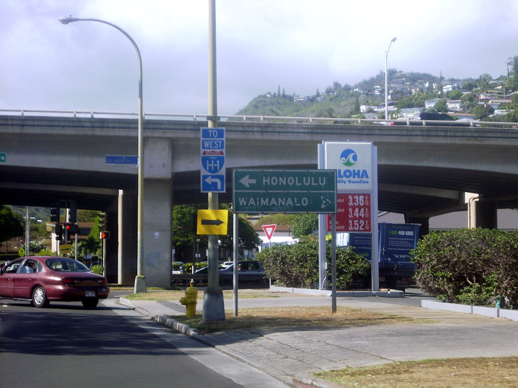
King Street continues westward through the Mō'ili'ili neighborhood into downtown Honolulu while Interstate H1 bypasses to the north.
02/04/24
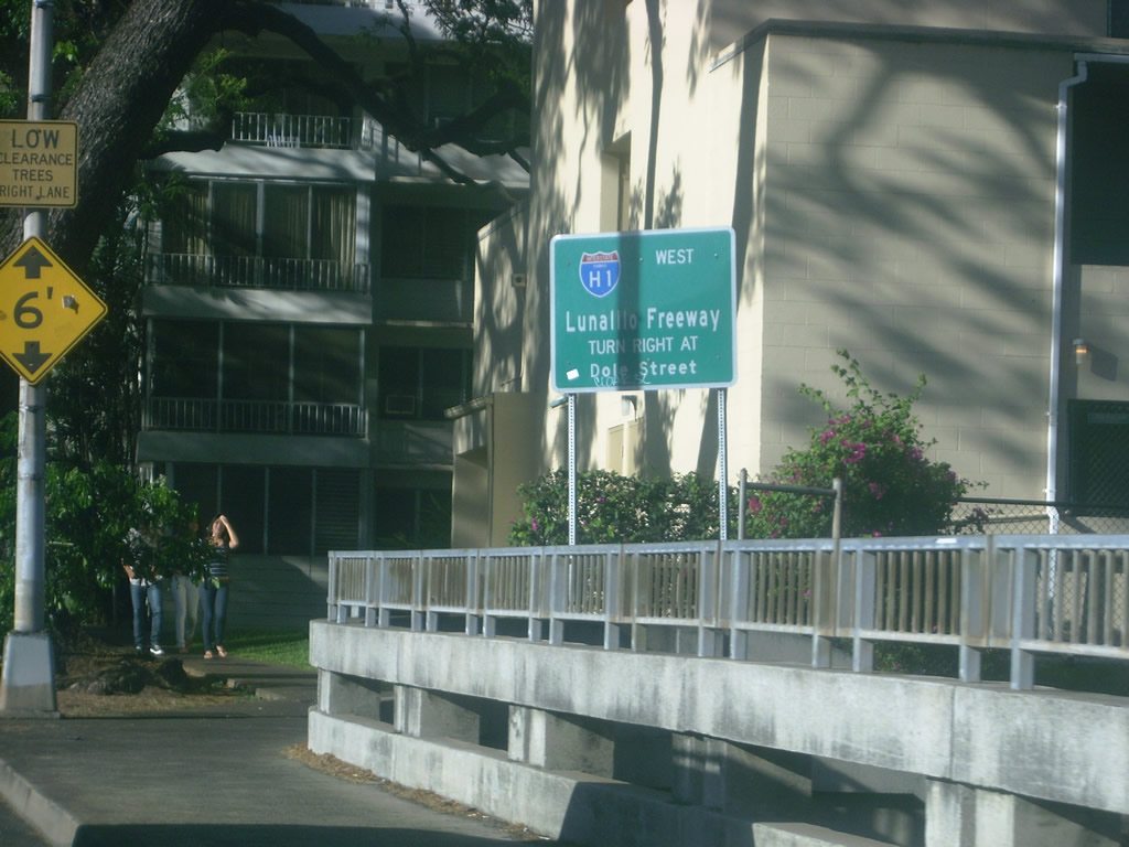
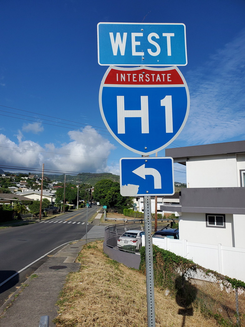
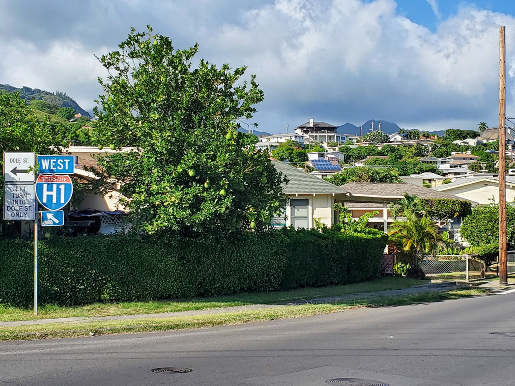
Punahou Street passes over I-H1 at Exit 23 and continues to Dole Street and Wilder Avenue. There is direct access to the Lunalilo Freeway from Punahou Street south. Motorists are directed onto Dole Street east to Alexander Street south for the Metcalf Street entrance ramp.
07/29/10
McCully Street crosses Ala Wai Canal north from Waikiki ahead of this trailblazer for Interstate H1.
08/18/19
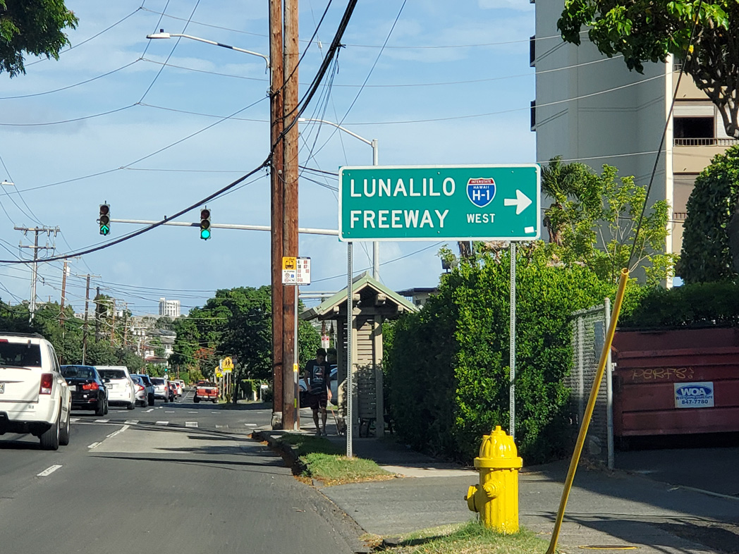
Kapiolani Boulevard (Route 7503) leads east from McCully Street (Route 7613) to an entrance ramp for Interstate H1 eastbound.
08/15/19
McCully Street proceeds north through the Mō'ili'ili neighborhood of Honolulu toward Interstate H1. A trailblazer precedes the signal at Algaroba Street.
08/18/19
McCully Street curves northeast across I-H1 to the five point intersection with Dole Street and Metcalf Street.
08/16/19
West from McCully Street, Dole Street connects with Alexander Street south to the Lunalilo Freeway in three blocks.
08/16/19
Alexander Street (Route 7648) heads 0.143 miles south from Wilder Avenue (Route 7525) to the westbound entrance ramp for I-H1 (Lunalillo Freeway).
08/16/19
A state named trailblazer for I-H1 directs motorists south onto Alexander Street one block from Dole Street west.
08/18/19
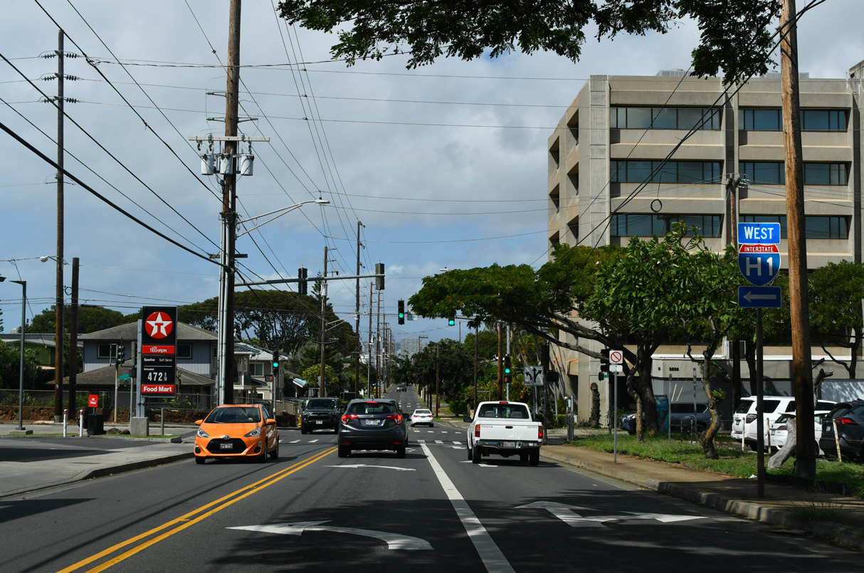
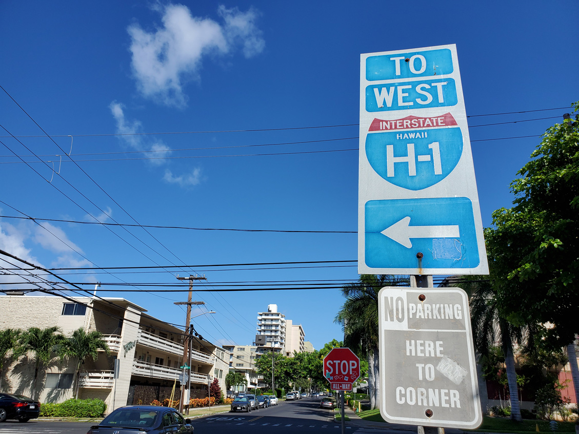
Alexander Street south and Metcalf Street west converge at the entrance ramp for Interstate H1 westbound.
08/15/19
Interstate H1 trailblazer posted in Waikiki Beach near the Lunalilo Freeway at Exit 25. Non-cutout trailblazers such as this often featured the state name for I-H1 on Oahu Island.
11/15/99
School Street (Route 7414) partitions into a couplet just ahead of Liliha Street (Route 7412) and the entrance ramp for Interstate H1 eastbound.
08/16/19
Interstate H1 heads east from Liliha Street and the Kalihi neighborhood in Honolulu toward Waikiki and Kaimuki.
08/16/19
The Honolulu International Airport (HNL) connector ramps leave the arrival / departure terminal area to ramp separations at I-H1 (Queen Liliuokalani Freeway).
02/04/24
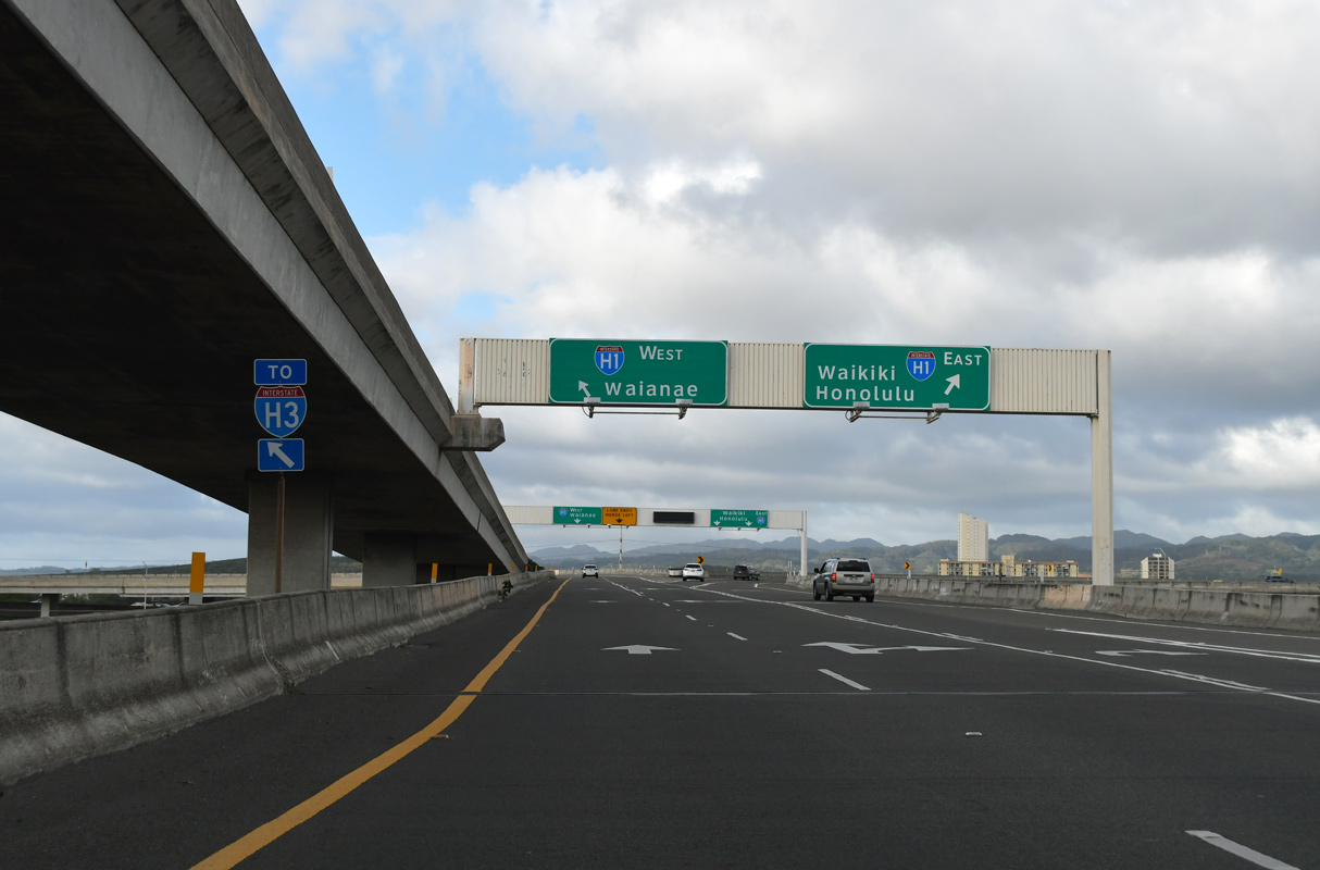
I-H1 advances west and north from HNL Airport to a systems exchange with I-H3 / H201 before turning west to Pearl City and Waipahu. Waianae is located along Route 93 on the west coast of the island of O'ahu.
02/04/24
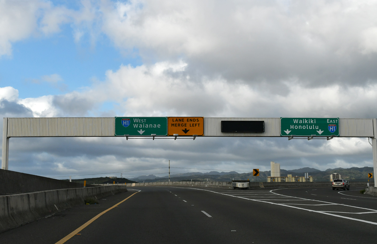
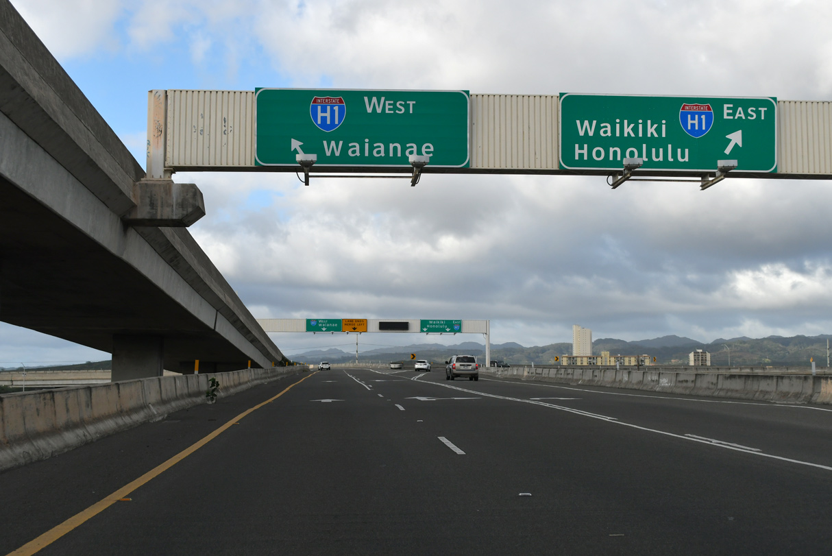
I-H1 leads southeast along the Queen Liliuokalani and Lulalilo Freeways toward both Honolulu and Waikiki, bypassing both to the north.
02/04/24
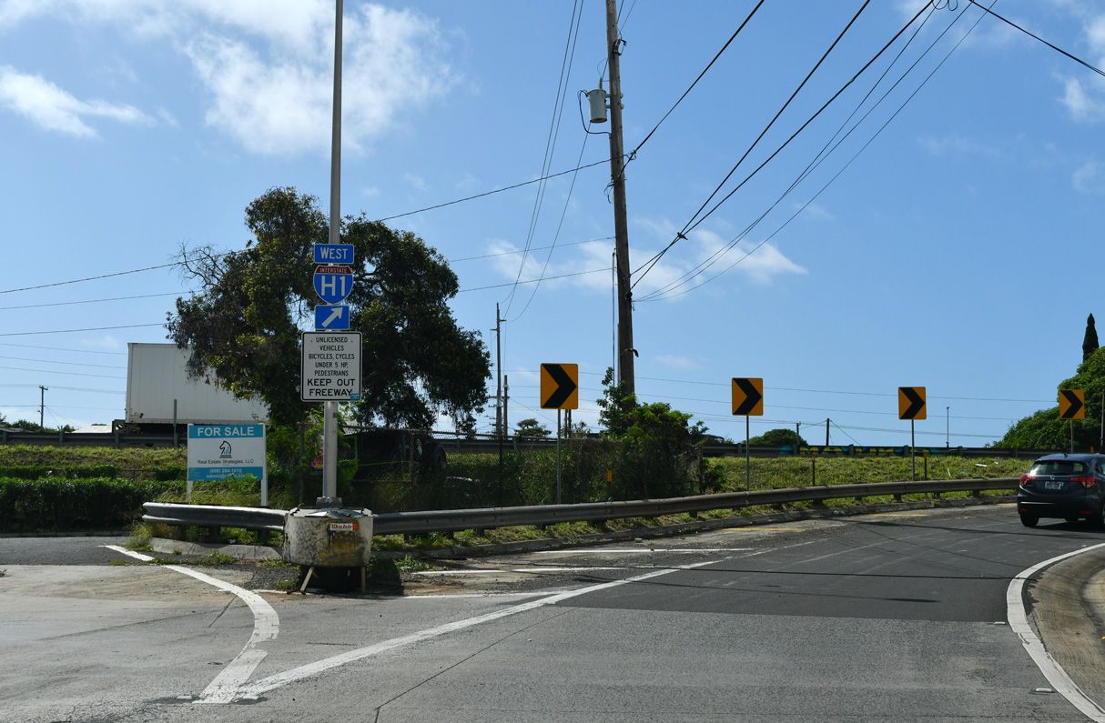
Fort Barrette Road meets Interstate H1 at a parclo interchange near Kapolei. Road work previously here included new ramps to I-H1 west and from I-H1 east.
01/17/11
Photo Credits:
- Larry Epstein: 07/29/10
- Alex Nitzman: 01/17/11, 01/18/11
- Brent Ivy: 02/04/24, 02/06/24
- Andy Field: 08/15/19, 08/16/19, 08/18/19
- Jeff Royston: 11/15/99
Connect with:
Page Updated Saturday February 24, 2024.