
Hawaii Road & Highway Photo Guides

Sitemap to road and highway photo guides for Hawaii.
Interstates
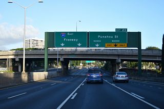
 Interstate H1 - Lunalilo Freeway / Queen Liliuokanai Freeway
256 photos

 Interstate H2 / Veterans Memorial Freeway
58 photos
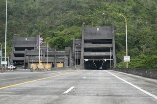
 Interstate H3 / John A. Burns Freeway
103 photos
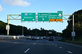
 Interstate H201 and Route 78
52 photos
State Routes
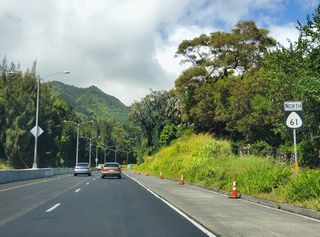
 Route 61
94 photos

 Route 63
44 photos
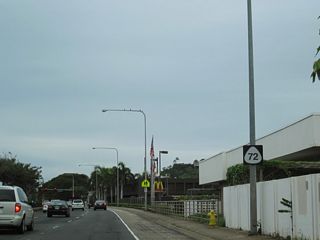
 Route 72
47 photos
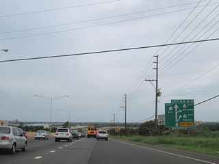
 Route 76 - Fort Weaver Road
12 photos

 Route 80 - Kamehameha Highway
23 photos

 Route 83
76 photos
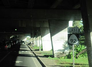
 Route 92 - Ala Moana Boulevard / Nimitz Highway
68 photos
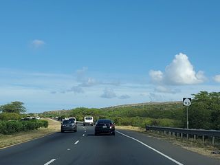
 Route 93 - Farrington Highway
18 photos
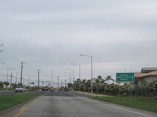
 Route 95
11 photos
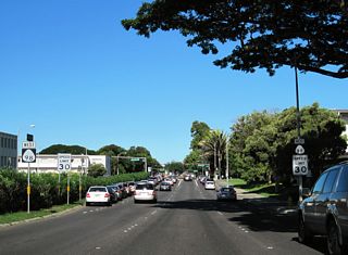
 Route 98 - Vineyard Boulevard
18 photos
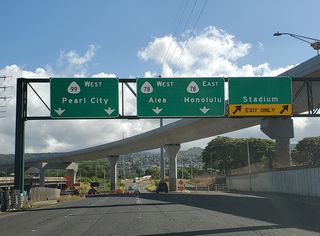
 Route 99
95 photos
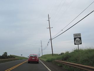
 Route 750 - Kunia Road
17 photos
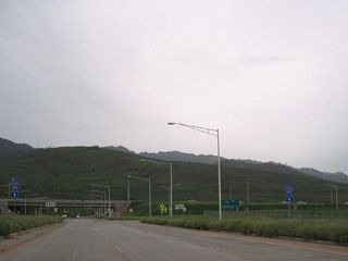
 Route 8930 - Kulalakai Parkway
7 photos
County Routes
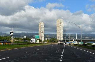
 Farrington Highway
15 photos
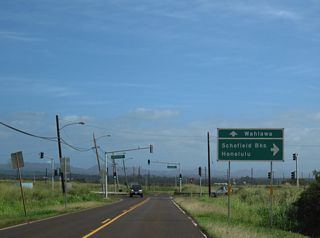
 Route 801 - Kaukonahua Road
3 photos
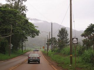
 Route 803
11 photos
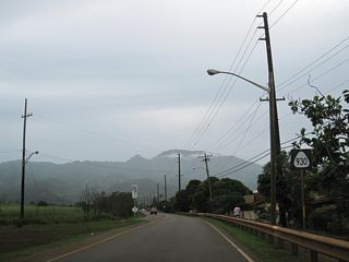
 Route 930
6 photos
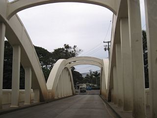
 Route 8300 - Kamehameha Highway
9 photos
Photo Coverage of Roads and Highways in Hawaii
AARoads documents highways and roads across Hawaii with route-by-route photo guides organized by direction of travel. Coverage includes Interstate Highways, Hawaii State Routes, and select county routes.
Photo guides focus on highway signage, interchanges, route markers, city limit signs, county lines, and notable points of interest along each route. Routes traverse coastal lowlands and with emphasis on bridge and shoreline signage. Urban guides feature closely spaced interchanges and complex directional signage.
New and updated photos for Hawaii routes are added periodically and cataloged on the updates page.
State Route Log
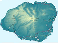
Kauai Route Log

Oahu Route Log
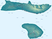
Lanai and Molokai Route Log
Maui Route Log
Big Island of Hawaii Route Log
Hawaii State Highway Numbering
The numbering of Hawaii State Highways utilizes a cluster system based upon island which they are found. Highways in the 100s and 200s or those between 11 and 19 are found on the Big Island of Hawaii. Maui is home to routes numbered in the 30s or 300s. Molokai and Lanai use routes numbered in the 400s. Kauai follows with routes in the 50s and 500s. Oahu rounds out the numbering with highways between 60-99 and the 600s and up.
Hawaii County Highway Numbering
Hawaii County Highways utilize the same route clustering of their state route counterparts. Most spoke from the parent state route and utilize a 4-digit numbering where the first two numbers are those of the parent. When signed, the county highways utilize the same shield style as regular state highways. However, most county highways are not posted and exist as local access roads or residential thoroughfares.
Photographic Contributors
Photography by Kevin Trinkle, Larry Epstein, Alex Nitzman, Andy Field and Brent Ivy.
About Hawaii
- Capital:
 Honolulu (Island of Oahu)
 - Nickname: Aloha State
- State Flower: Yello Hibiscus
- State Bird: Hawaiian Goose
- State Tree: Candlenut
- Land Area: 6,421 square miles, 47th largest
- Highest Point: Mauna Kea (Island of Hawaii) 13,803 feet above sea level
- Agriculture: cattle, sugarcane, coffee, macadamia nuts
- Statehood: 50th state; admitted August 21, 1959
- Total Interstate Mileage: 54.91 miles
Last updated: Tuesday January 23, 2024