
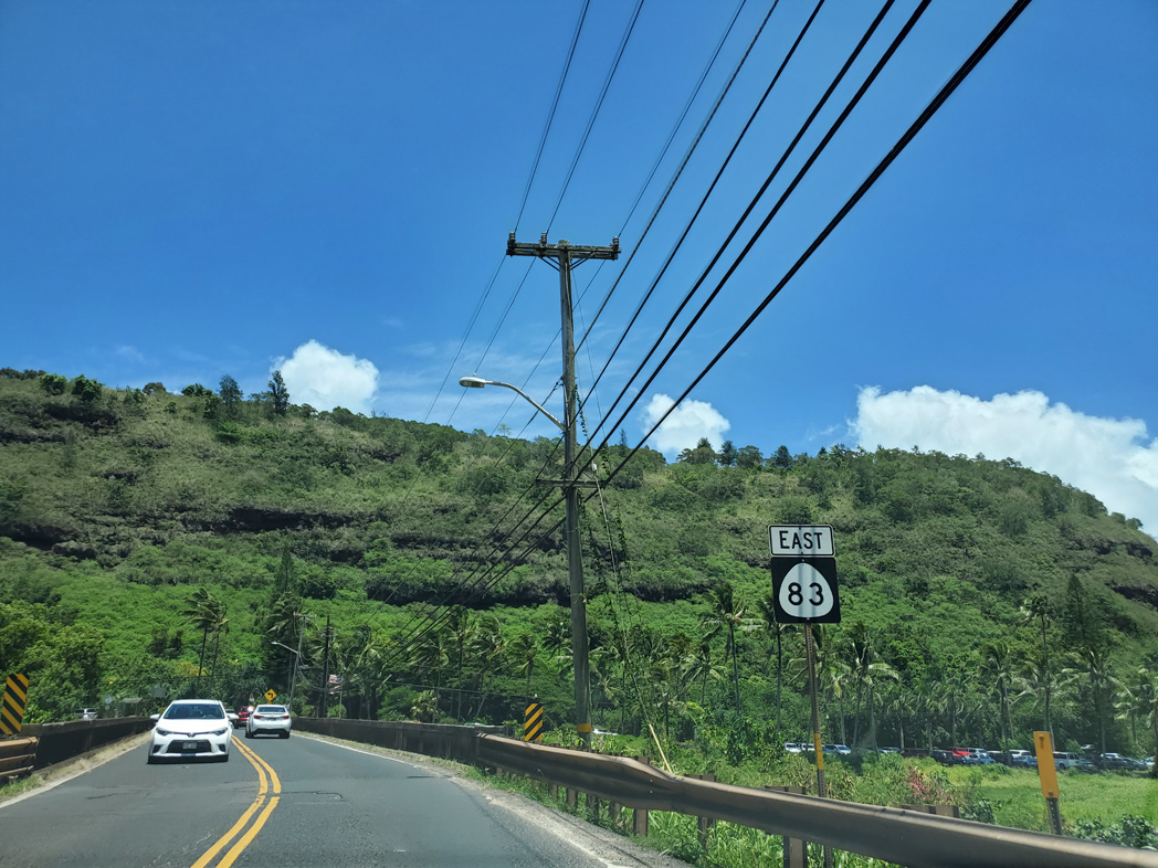
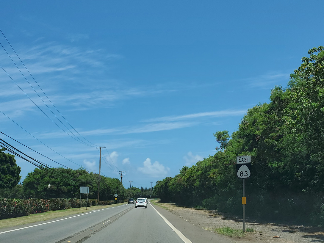
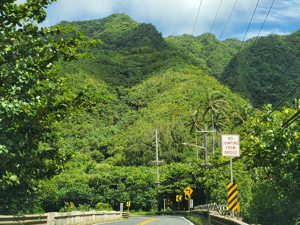
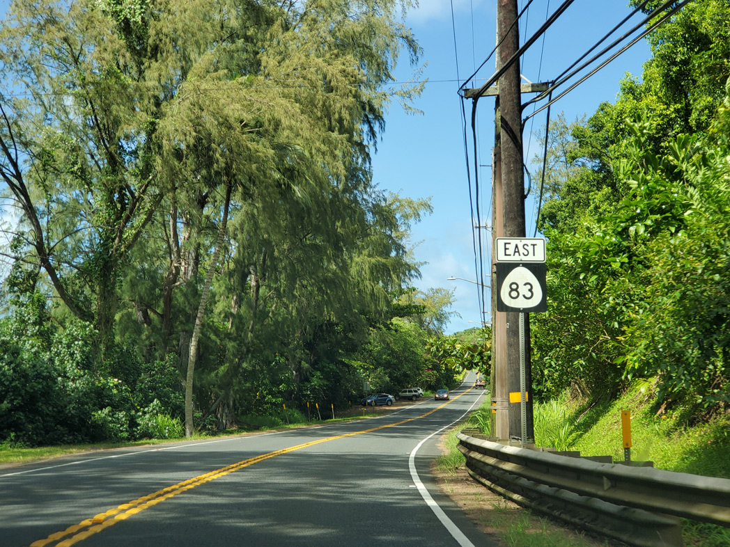
Route 83 East / South

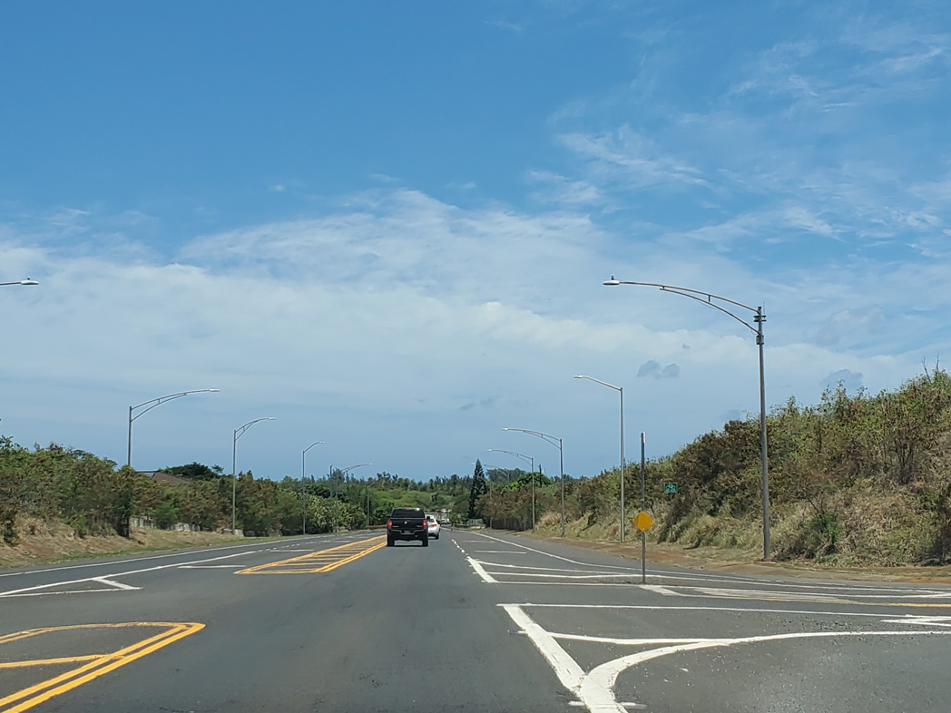
Milepost zero for Route 83 (Joseph P. Leong Highway) at the shared end point with Route 99 and Route 930 on Kamehameha Highway.
08/15/19
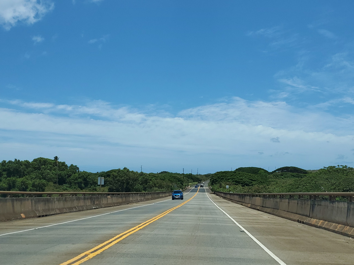
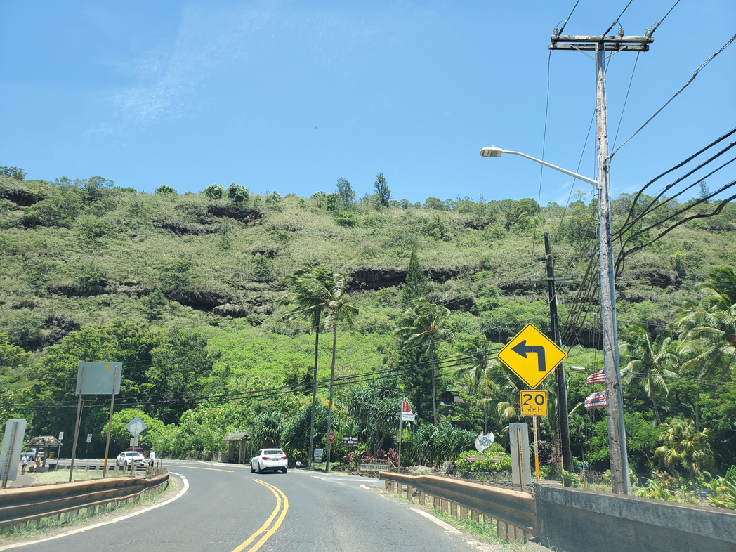
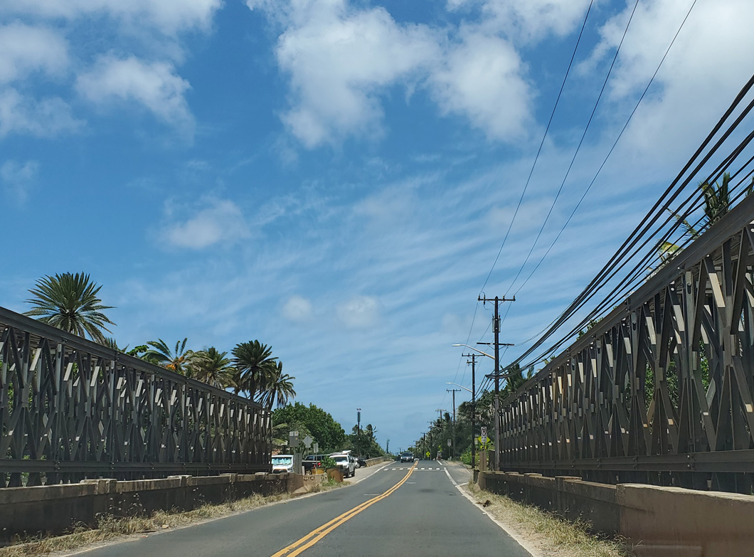
Bypassing Hale'iwa to the east, Route 83 follows Joseph P. Leong Highway. Constructed by 1993, the realignment elevates onto a viaduct north from Kamehameha Highway over Helemano Stream.
08/15/19
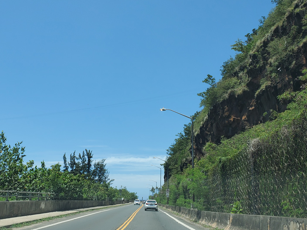
An access road links Route 83 with Emerson Road to the east. Emerson Road became discontinuous with construction of Joseph P. Leong Highway.
08/15/19
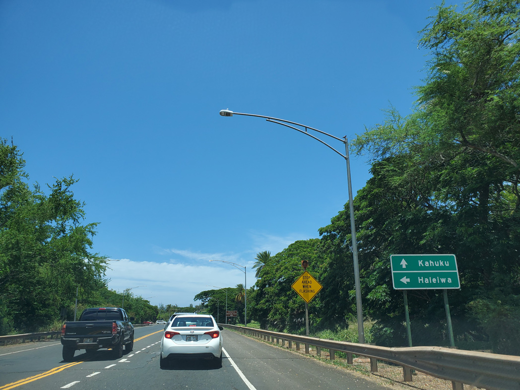
Kamehameha Highway (Route 8300) follows the original alignment of Route 83 through Haleiwa. Kamehameha Highway and Joseph P. Leong Highway converge at a signalized intersection near Uko'a Pond.
08/15/19
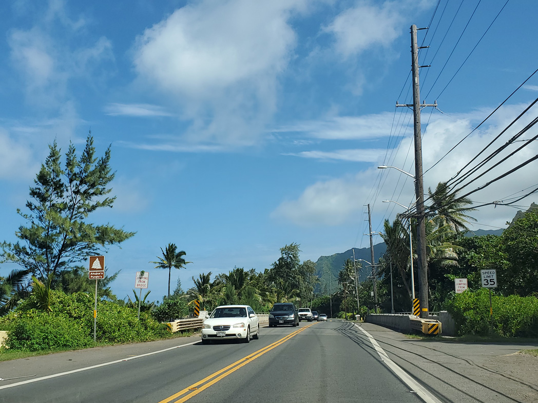
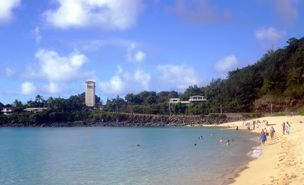
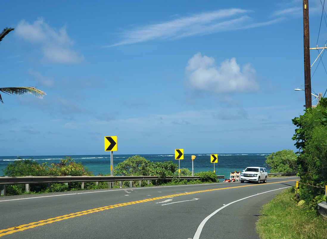
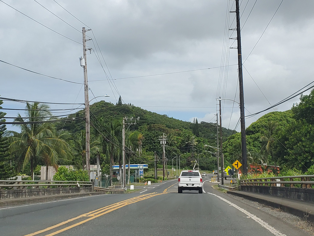
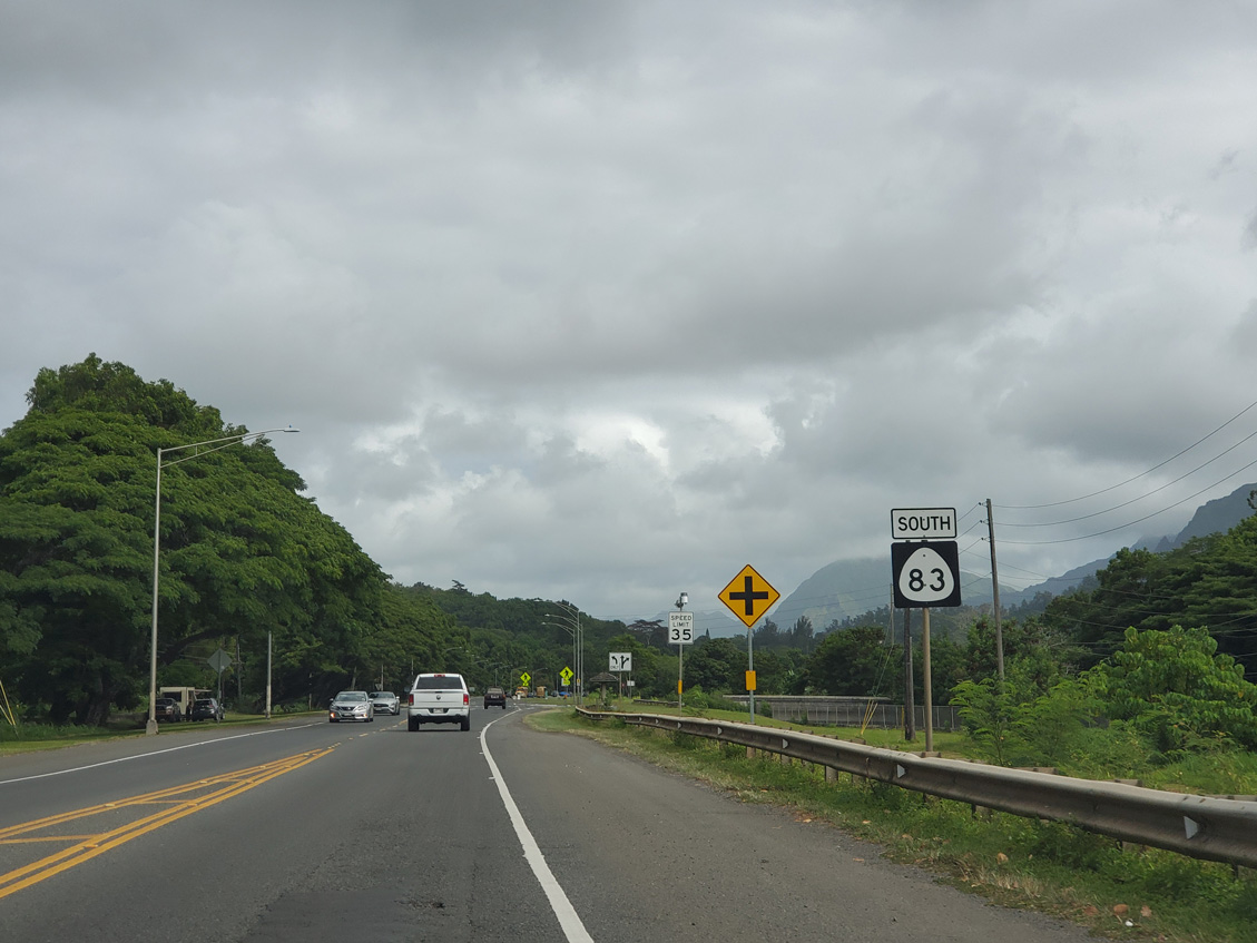
Kamehameha Highway (Route 8300) heads 1.97 miles south through Haleiwa between nearby Haleiwa Beach Park and Kaukonahua Road (Route 930) at Weed Circle. Route 83 continues eastward along Kamehameha Highway and the North Shore to Kahaluu along Kaneohe Bay.
01/18/11
Route 83 shifts inland around Waimea Bay Beach Park, one of many oceanside parks along Kamehameha Highway.
07/29/10
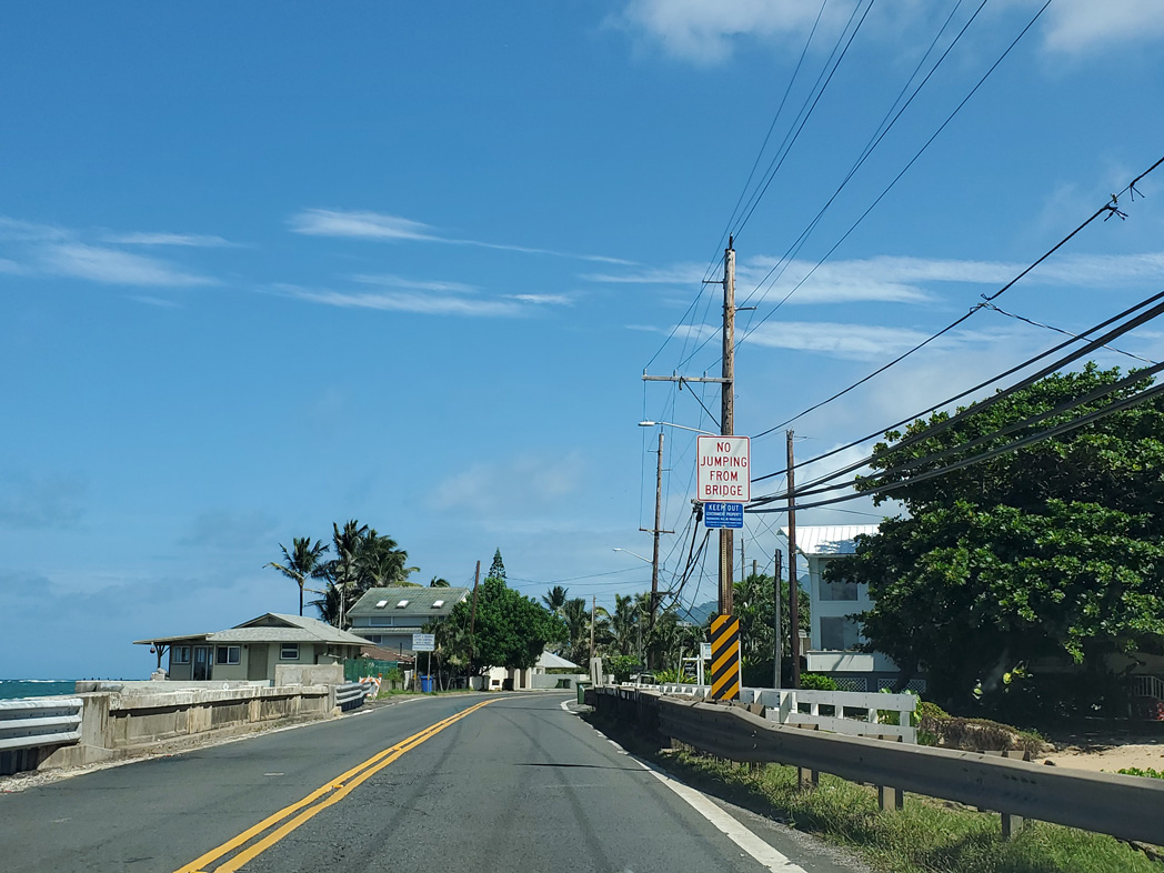
Route 83 encircles Waimea Bay east to Waunea Valley Road. The bridge over the Waimea River was built in 1930. A companion pedestrian bridge was added in 1980.
08/15/19
Waimea Valley Road spurs east to Waimea Botanical Garden and Waimea Valley Trail to Waimea Falls.
08/15/19
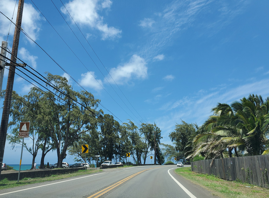
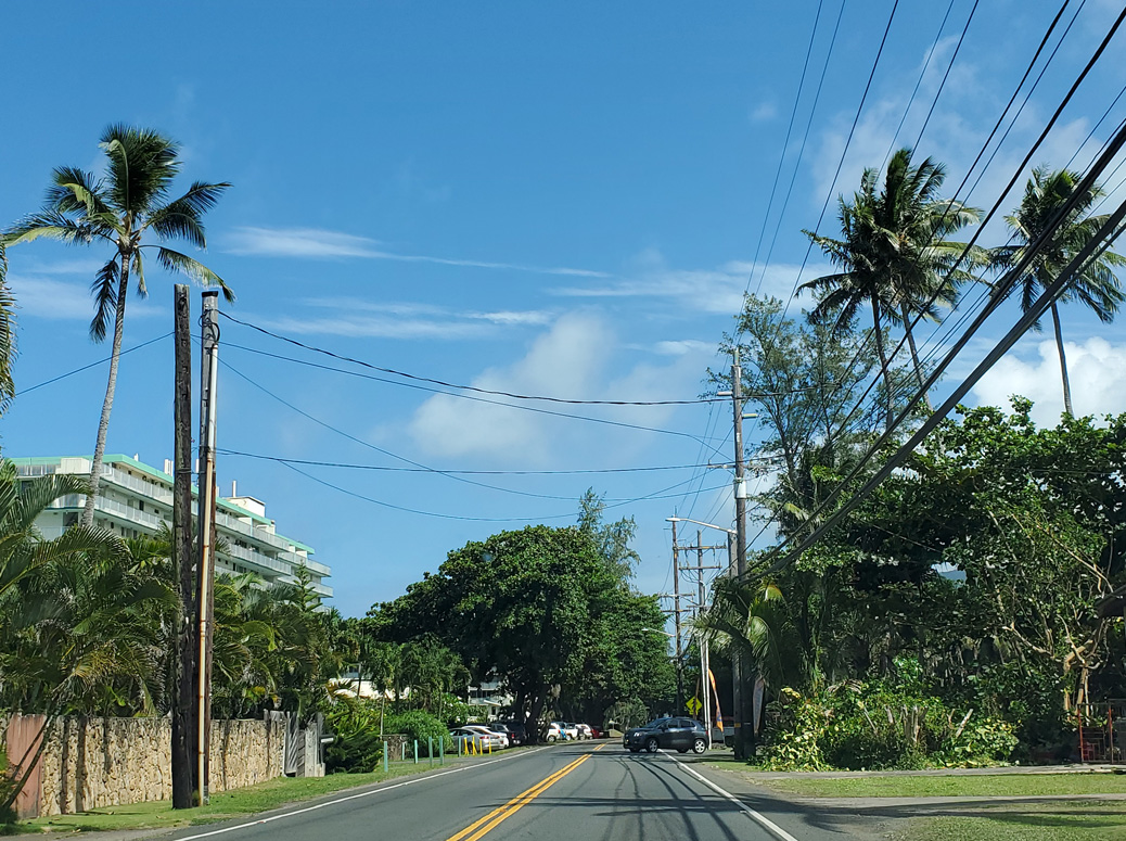
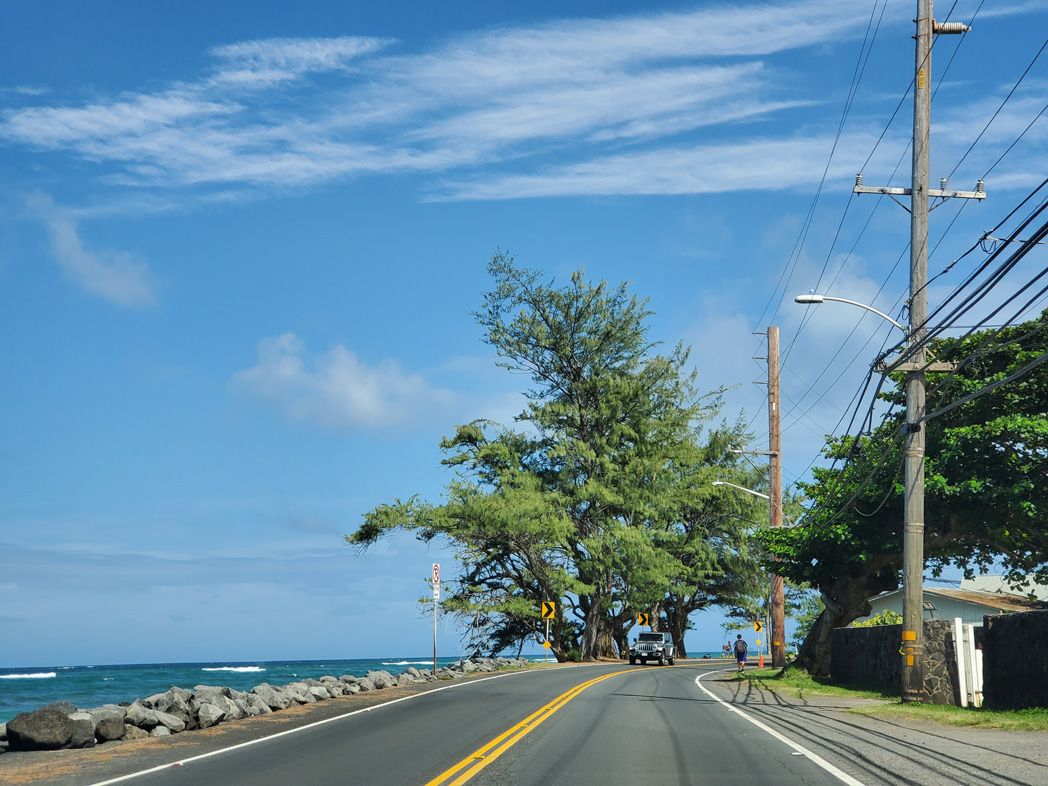
Route 83 enters enters the community of Pupukea beyond Waimea Bay.
08/15/19
Kamehameha Highway spans Paumalu Stream at Sunset Beach.
08/15/19
Kamehameha Highway east at Kawela Beach.
08/15/19
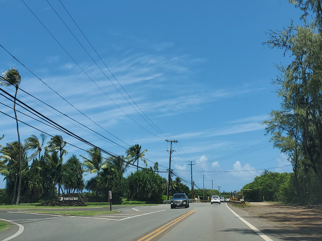
Kuilima Drive is the entrance road to the Turtle Bay Resort at Kawela Bay.
08/15/19
Eastbound reassurance marker for Route 83 posted after Kuiilima Drive.
08/15/19
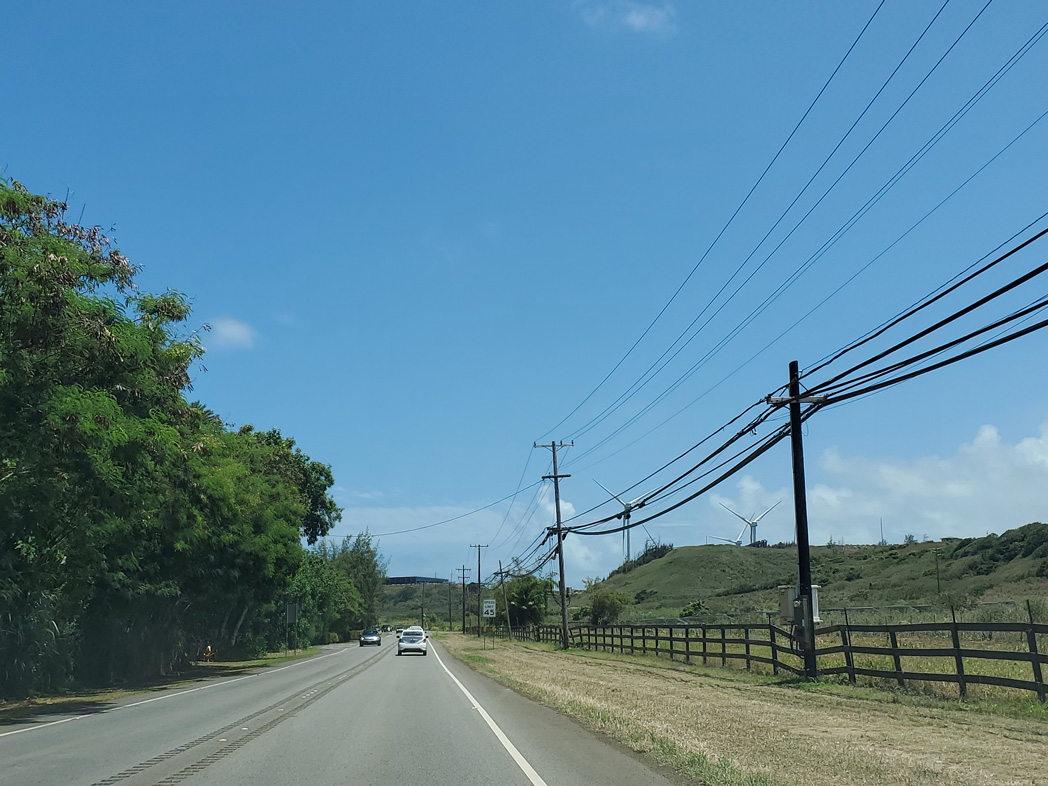
The Kahuku Wind Farm comes into view along Kamehameha Highway east near Marconi Road.
08/15/19
Kamehameha Highway east ahead of Milepost 14 for Route 83 near Ho'olapa Gulch.
08/15/19
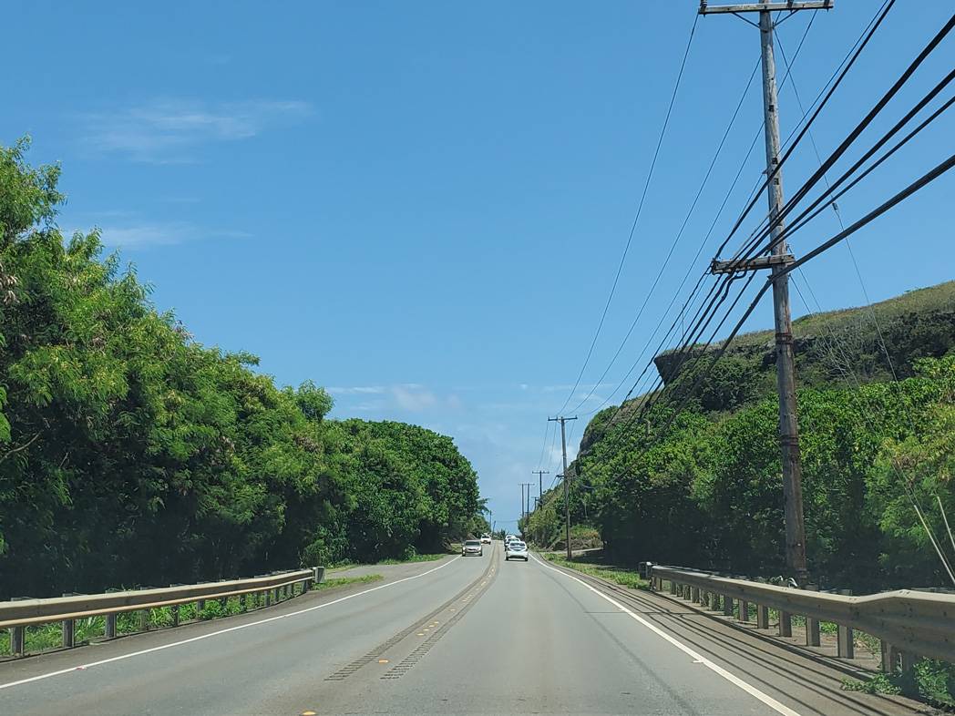
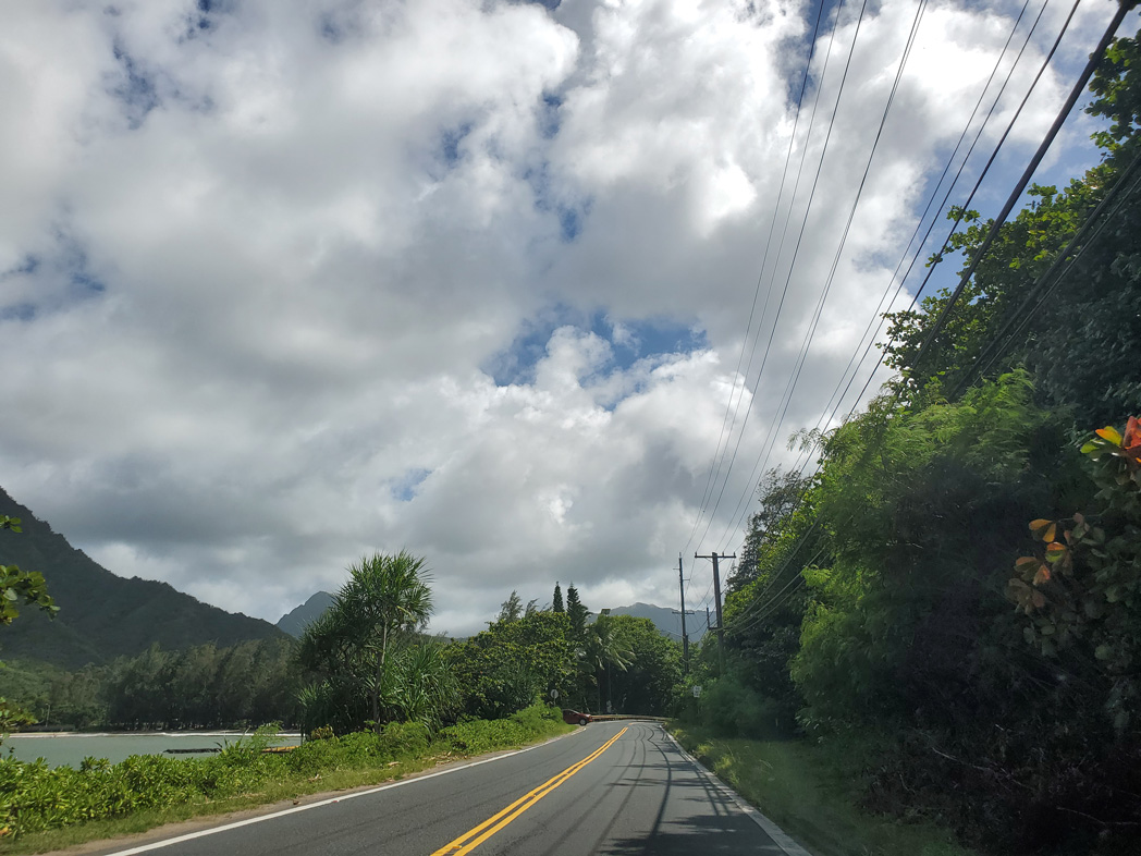
Angling southeast, Route 83 runs alongside James Campbell National Wildlife Refuge.
08/15/19
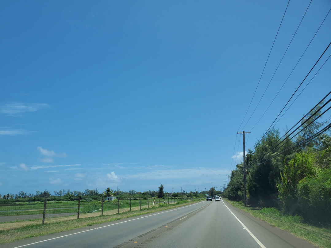
Route 83 (Kamehameha Highway) continues east into the census designated place of Kahuku.
08/15/19

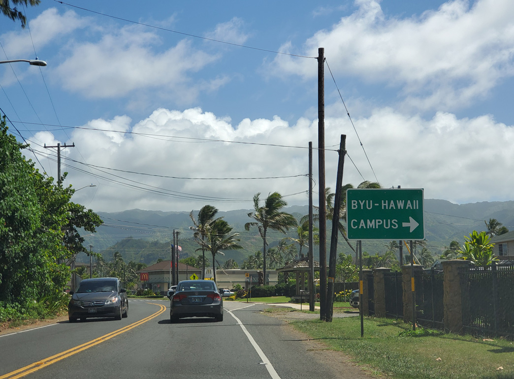
Naniloa Loop arcs south from Route 83 in Laie to Brigham Young University (BYU) - Hawaii.
08/15/19
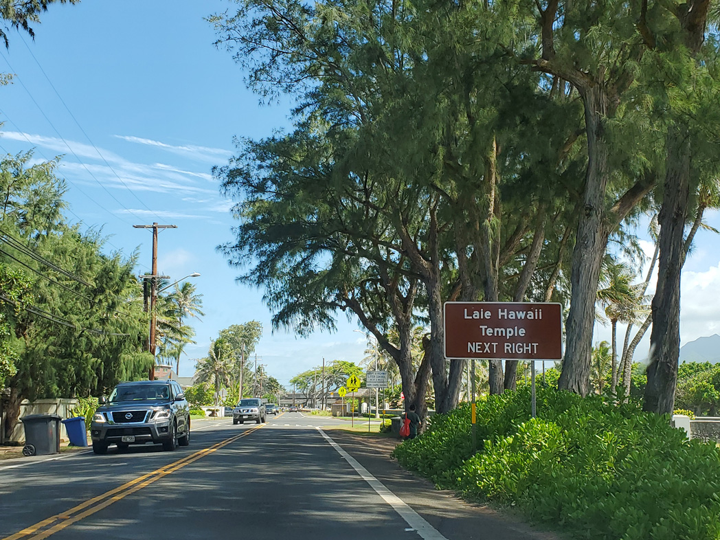
Hale Laa Boulevard is a landscaped parkway west from Kamehameha Highway to the Laie Hawaii Temple.
08/15/19
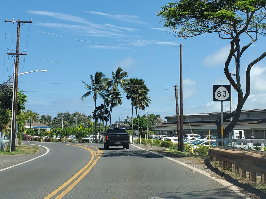
Reassurance shield posted along Route 83 (Kamehameha Highway) south after Hale Laa Boulevard in the community of La'ie.
08/15/19
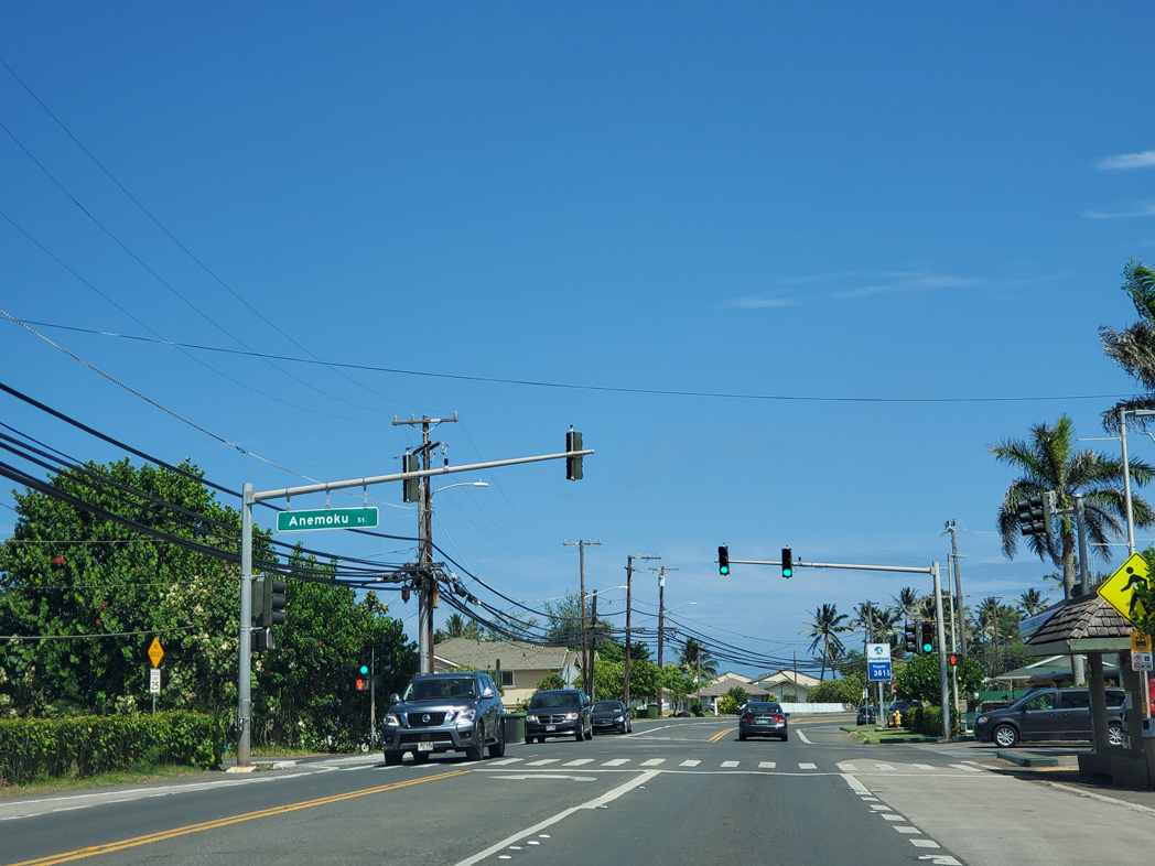
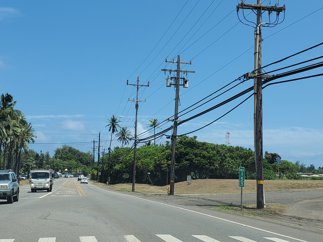
Traffic lights operate along Route 83 at Anemoku Street and the entrance to La'ie Shopping Center.
08/15/19
Naniloa Loop returns to Kamehameha Highway east from BYU-Hawaii.
08/15/19
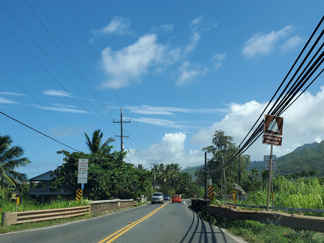
Route 83 south crossing Kaipapau Stream at Hau'ula.
08/15/19
Kamehameha Highway south along Hau'ula Beach Park at Hau'ula Homestead Road.
08/15/19
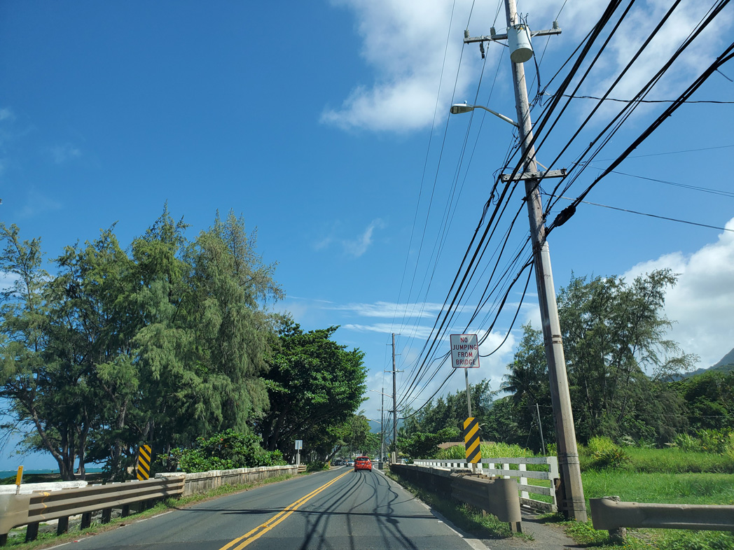
Route 83 south crosses another stream in Hau'ula ahead of Kukuna Road.
08/15/19
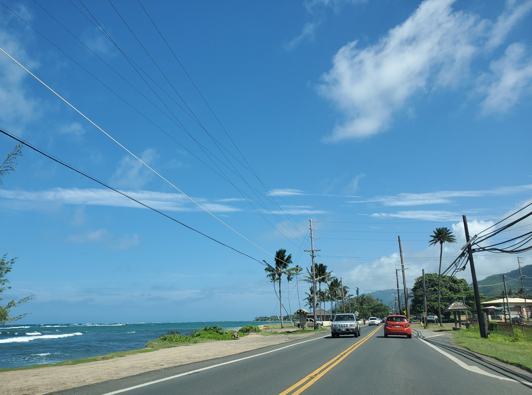
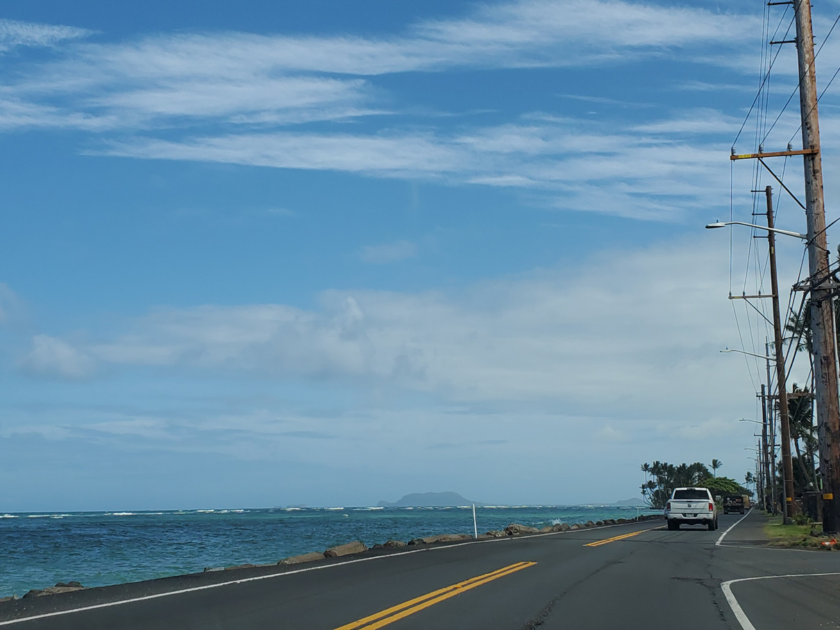
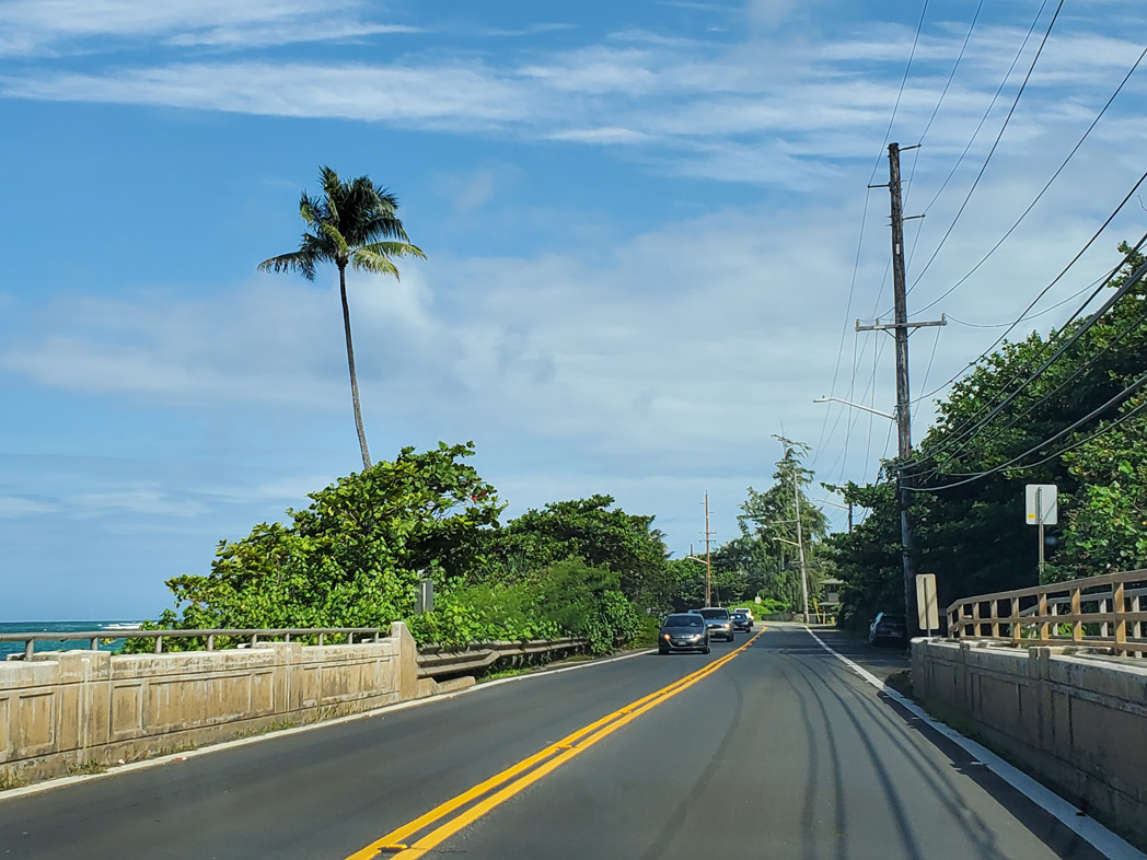
Kamehameha Highway straddles the Pacific Ocean through south Hau'ula to Kalaipaloa Point.
08/15/19
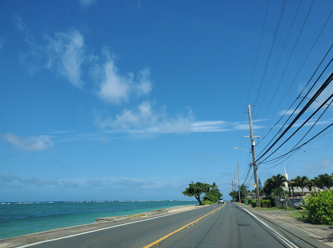
Route 83 (Kamehameha Highway) south at Kalaipaloa Point.
08/15/19
Kamehameha Highway south at the census designated place of Punaluu.
08/15/19
Punaluu Stream empties into the Pacific Ocean adjacent to this bridge along Kamehameha Highway.
08/15/19
Route 83 curves east around Kahana Bay.
08/15/19
Kahana Valley Road spurs southwest into the community of Kahana.
08/15/19
The bridge taking Kamehameha Highway across North Kahana Stream was built in 2011.
08/15/19
Route 83 navigates through an S-curve across South Kahana Stream.
08/15/19
A reassurance marker for Route 83 east stands beyond Trout Farm Road adjacent to Kahana Bay.
08/15/19
Kamehameha Highway rejoins the Pacific Ocean at Mahie Point leading east into Ka'a'awa.
08/15/19
Kamehameha Highway south at Polinalina Road along the Pacific Ocean in Ka'a'awa.
08/15/19
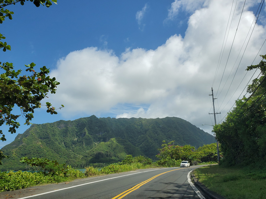
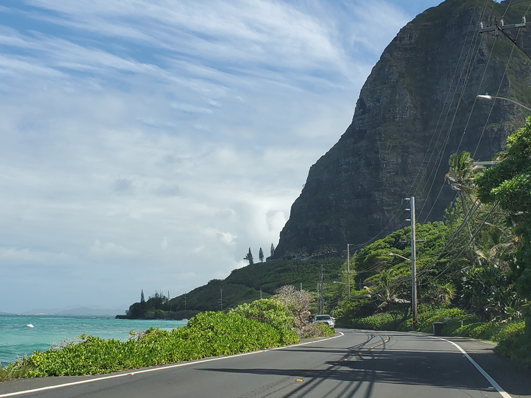
Pu'ukanehoalani mountain rises to the south of Ka'a'awa.
08/15/19
Route 83 south crossing Ka'a'wa Stream.
08/15/19
Kamehameha Highway continues along the Pacific Ocean coast south to Ka'o'io Point.
08/15/19
Ka'o'io Point in view along Route 83 south.
08/15/19
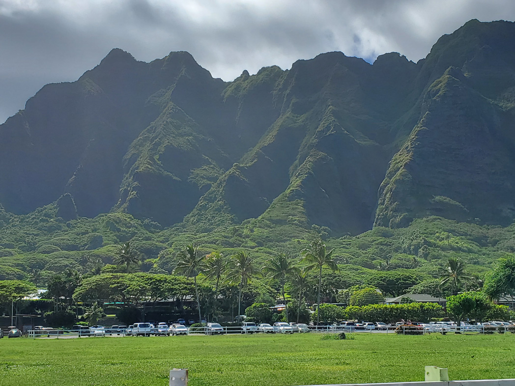
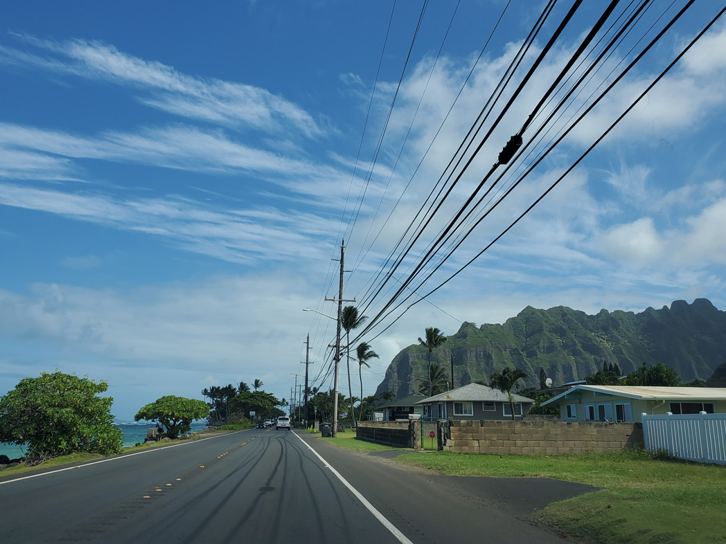
Pu'ukanehoalani mountain west of Kamehameha Highway at Kauloa Ranch..
08/15/19
Route 83 spans Kahalu'u Stream at Kahalu'u over a bridge built in 1980.
08/15/19
Route 83 parts ways with Kamehameha Highway for Kahekili Highway south from Kahalu'u to Route 63 (Likelike Highway) in Kaneohe. Kamehameha Highway (Route 6510) follows the Kaneohe Bay coastline to the east.
08/15/19
Kahekili Highway advances south to a signalized intersection with Ahuimanu Road at Ahuimanu.
08/15/19
This reassurance marker precedes the bridge built in 1971 along Kahekili Highway south across Ahuimanu Stream.
08/15/19

Route 83 (Kahekili Highway) south at Hui Iwa Street (Route 6553) at Ahuimanu.
08/15/19
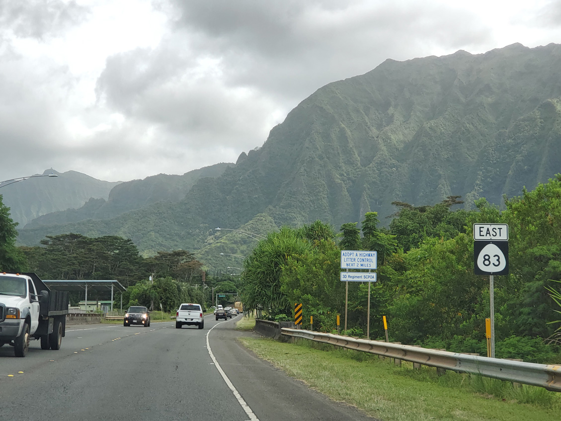
Route 83 comprises a controlled access arterial south from Haiku Road to Route 61 (Likelike Highway). Kulukeoe Street connects Route 83 with adjacent residential areas before the turn onto Likelike Highway.
01/18/11
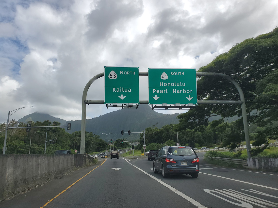
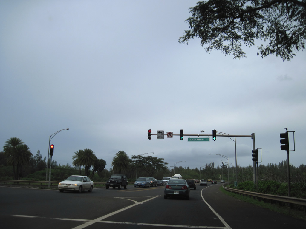
Route 83 (Kahekili Highway) south converges with Route 61 (Likelike Highway) at a jughandle intersection. Route 63 represents one of three routes joining Kane'ohe with southern Oahu. The connection with I-H3 leads to Pearl Harbor while Likelike Highway continues to Honolulu.
Route 83 turns east onto the final 0.48 miles of Likelike Highway before rejoining Kamehameha Highway south to Route 61. The overhead for Kailua incorrectly labels the arterial as Route 63.
08/15/19
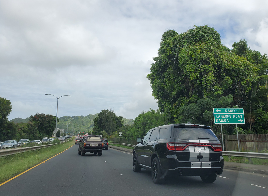
Kamehameha Highway rejoins Route 83 south where Likelike Highway east becomes Kaneohe Bay Drive (Route 65).
08/15/19
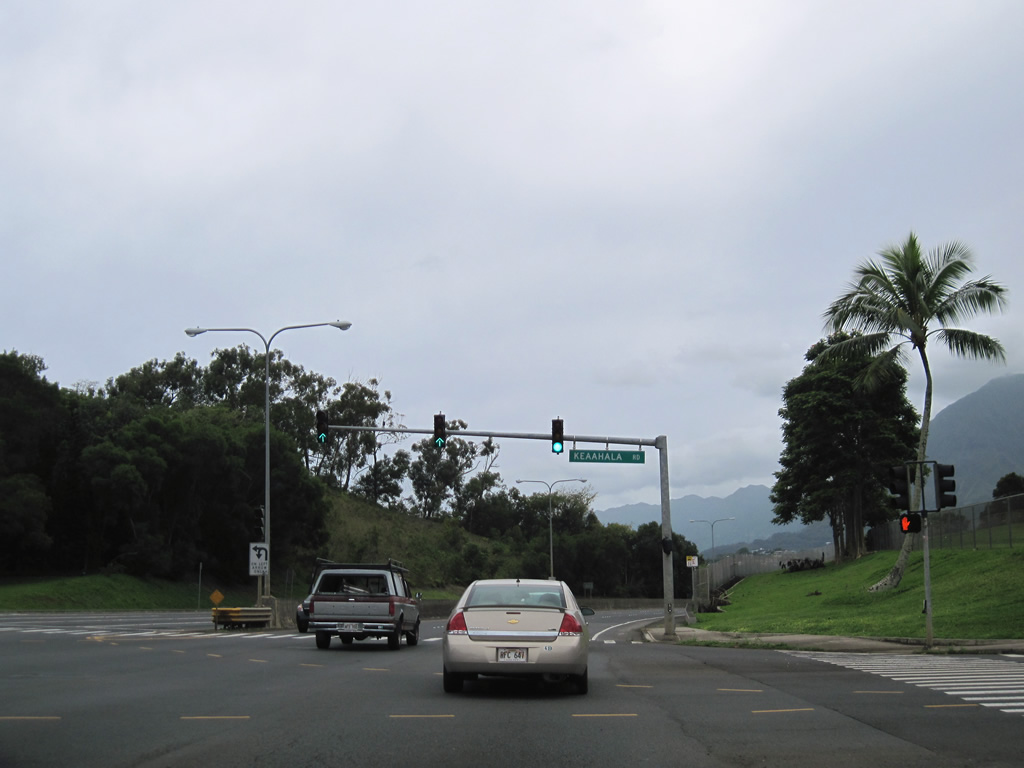
Route 83 (Kahekili Highway) south at Keaahala Road (Route 6543) in Kanehoe. Keaahala Road leads west to Kaneohe District Park and Windward Community College. East from Route 83, Keaahala Road links with Kamehameha Highway (Route 6510) at William Henry Road.
01/18/11
Photo Credits:
- Andy Field: 08/15/19
- Alex Nitzman: 01/18/11
- Larry Epstein: 07/29/10
Connect with:
Page Updated Tuesday January 23, 2024.