
Route 61
Route 61 is the Pali Highway connecting Honolulu with Kailua beyond the Koolau Range. Originating at Route 98 (Vineyard Boulevard) at Downtown Honolulu, the state route extends 10.59 miles northeast to the 1940 bridge across Maunawili Stream just shy of Hamakua Drive (Route 6010) along Kailua Road.
Hawaii Route 61 Guides
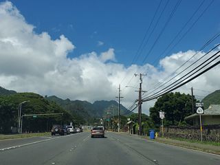
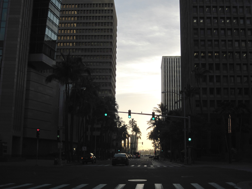
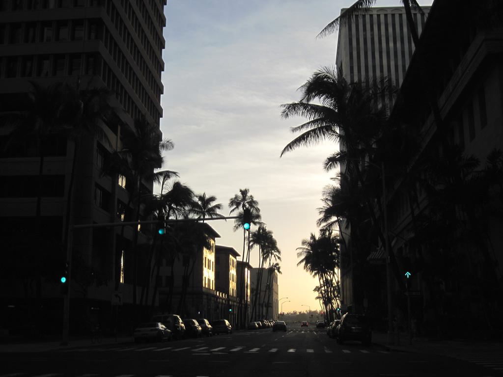
Pali Highway runs northeast from Vineyard Boulevard and I-H1 (Lunalilo Freeway) along a controlled access arterial with grade separations at Pauoa Road and Nuuanu Avenue. The stretch northeast into Nu'unau Valley is an at-grade arterial with residence and business access. Pali Highway transitions into a contolled access highway north beyond the signal at Puiwa Road.
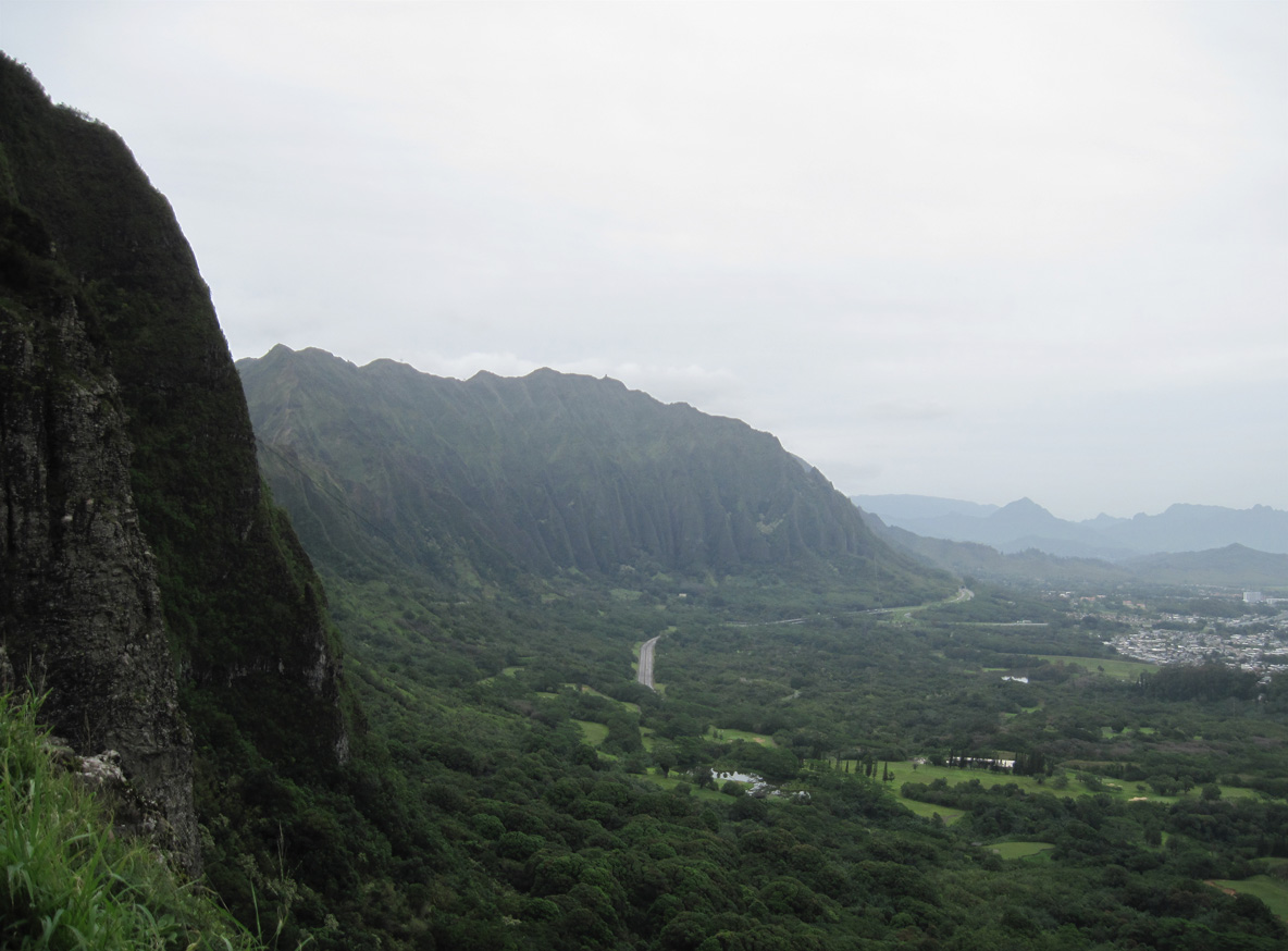
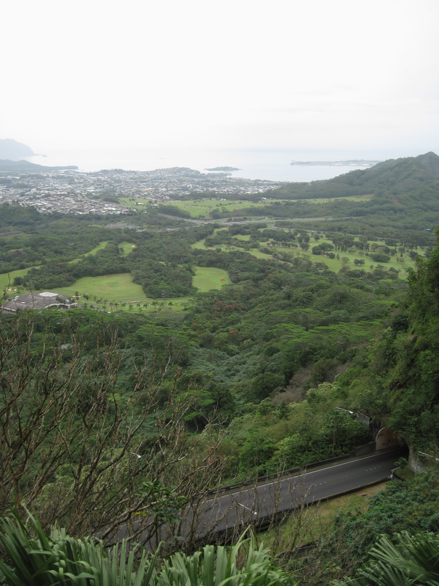
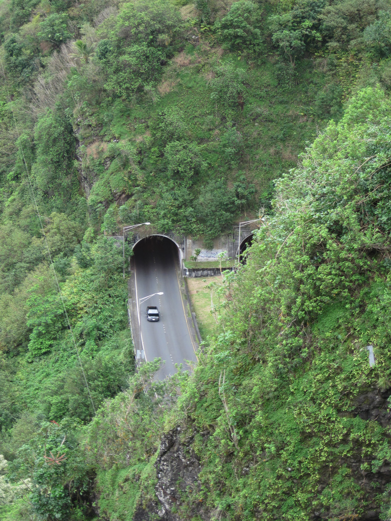
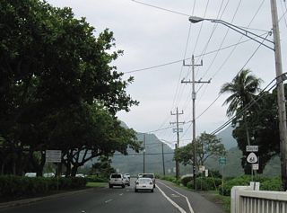
Upgrading to an expressway, a barrier median separates traffic along Route 61 north of Nuuanu Pali Drive. Pali Highway ascends northeast to cross the Ko'olau Range through the Pali Tunnels. Beyond Nu'uanu Pali peak, Route 61 descends over 600 feet in elevation through a hairpin turn to intersect Route 83 at the east end of Kamehameha Highway.
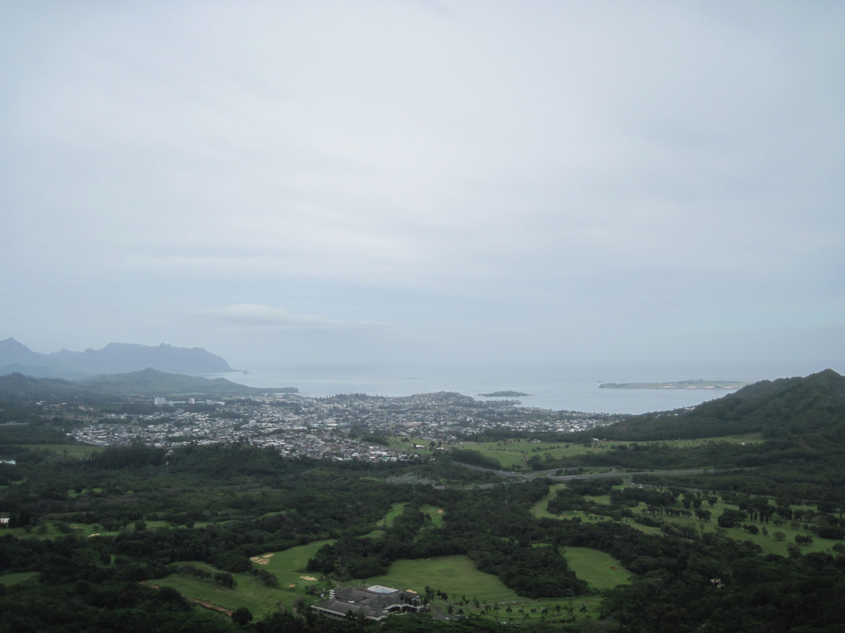
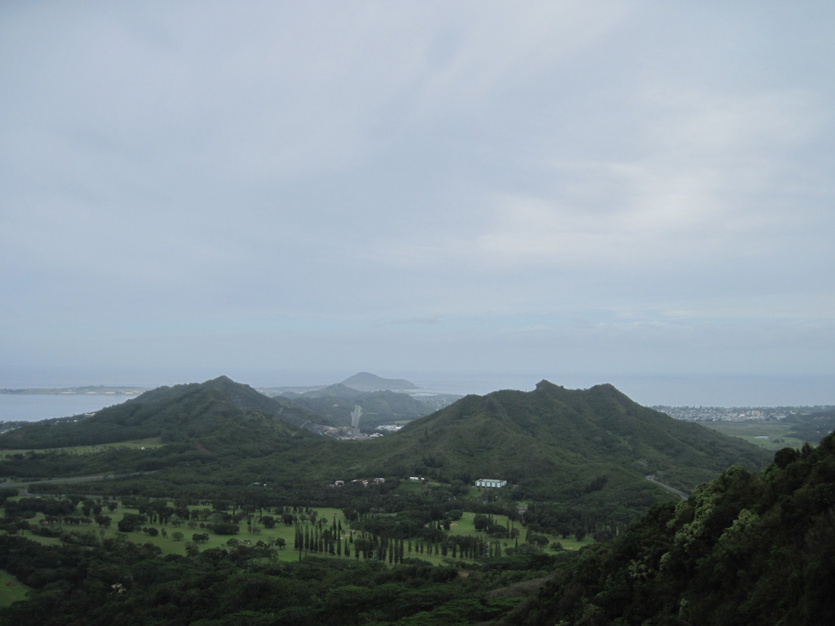
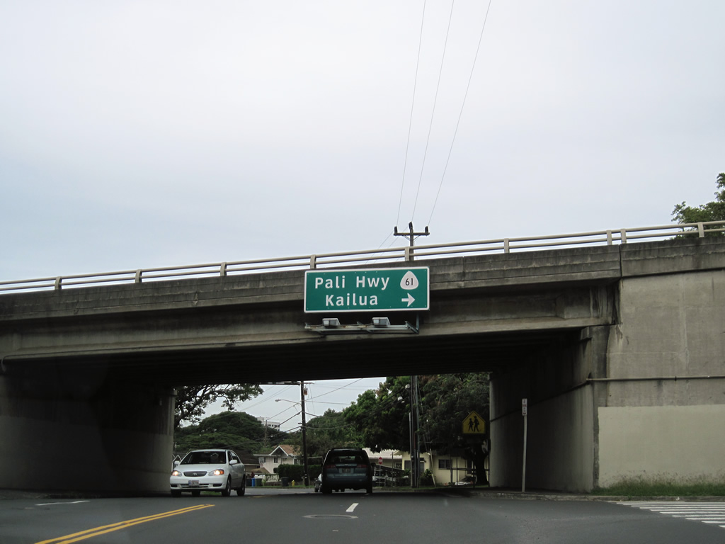
Route 61 continues east from Route 83 along the initial 1.82 miles of Kalaniana'ole Highway to Route 72. Kalaniana'ole Highway turns southeast along Route 72 while Route 61 lines Kailua Road for 1.086 miles to Kailua.
Historically the north end of Route 61 at Maunawili Stream and Kailua shared an end point with Route 63. Route 63 followed Kuulei Road northeast to Kalaheo Avenue.
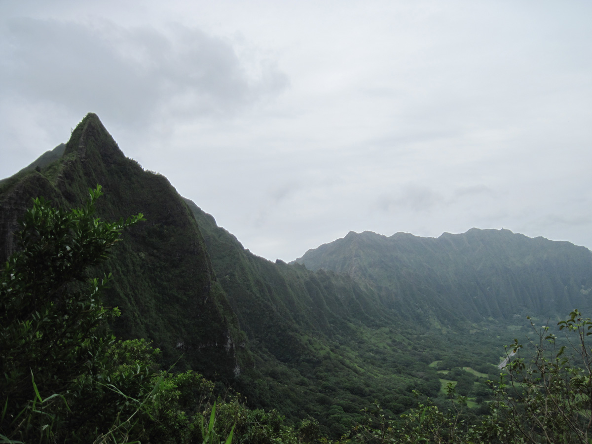
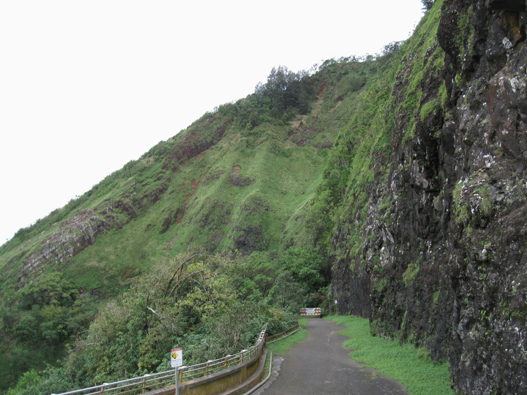
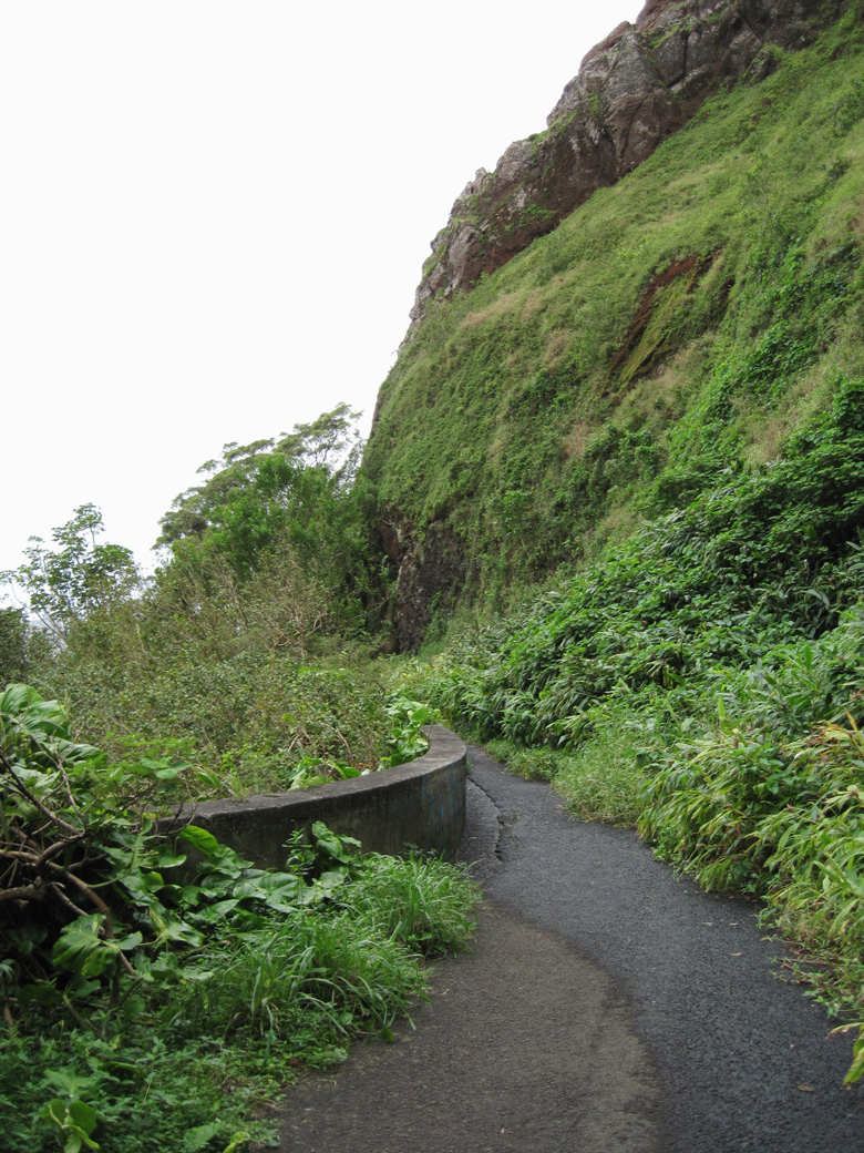
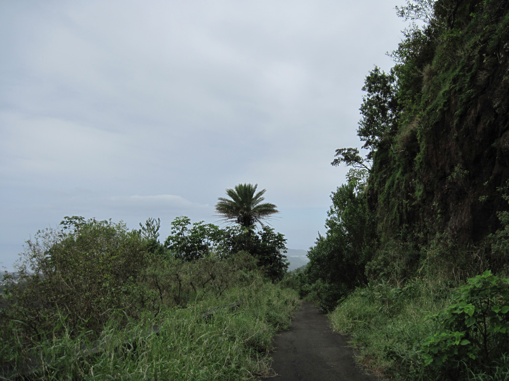
Located above the Pali Tunnels and part of Pali Trail, a section of the original Pali Road is accessible from the Nu'uanu Pali State Wayside:
During the early 1800s, travel between Honolulu and Windward O'ahu required either taking a canoe around the periphery of the island, or hiking over steep cliffs across the Ko'olau Range. The pali (cliff) trail was the fastest and most direct route, but steep and often slippery. While locals navigated the trail with ease, foreigners often found the hike to be challenging. With increased usage, the pali trail was paved with stone and widened to six feet in 1845. A wooden railing was added due to the strong winds along the route. It took around three hours to travel by horse or mule.1
Construction underway in 1897 built a Pali Road below the existing pali trail. Work included blasting rock to create a 20 foot wide road supported by stone walls. Pali Road opened in 1898 and remained vastly unchanged until the 1950s. Construction of Pali Highway (Route 61) was completed in 1957. Work on the four lane highway included excavation of the tunnels.1
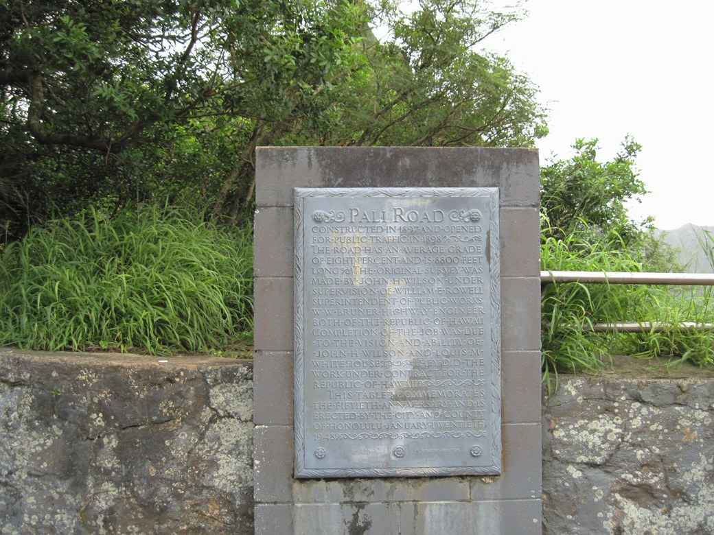
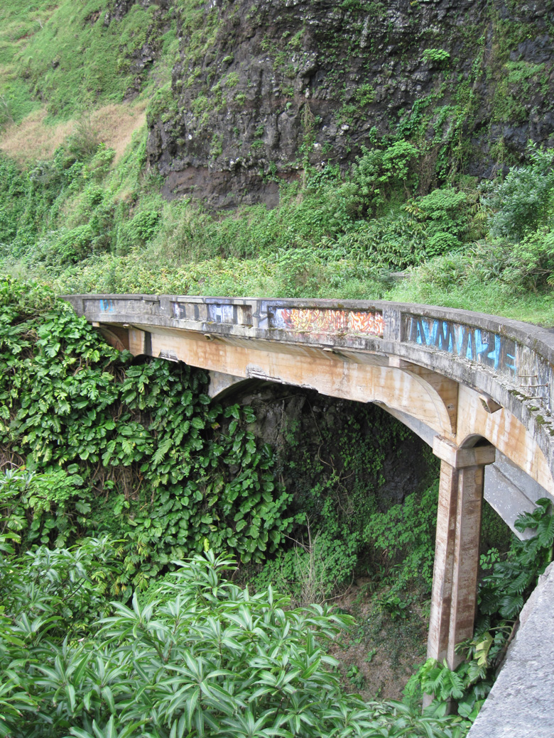
Located southeast of the Pali Tunnels, a section of the original Pali Road constructed in 1897 and opened in 1898 was repurposed as a scenic overlook.
01/18/11
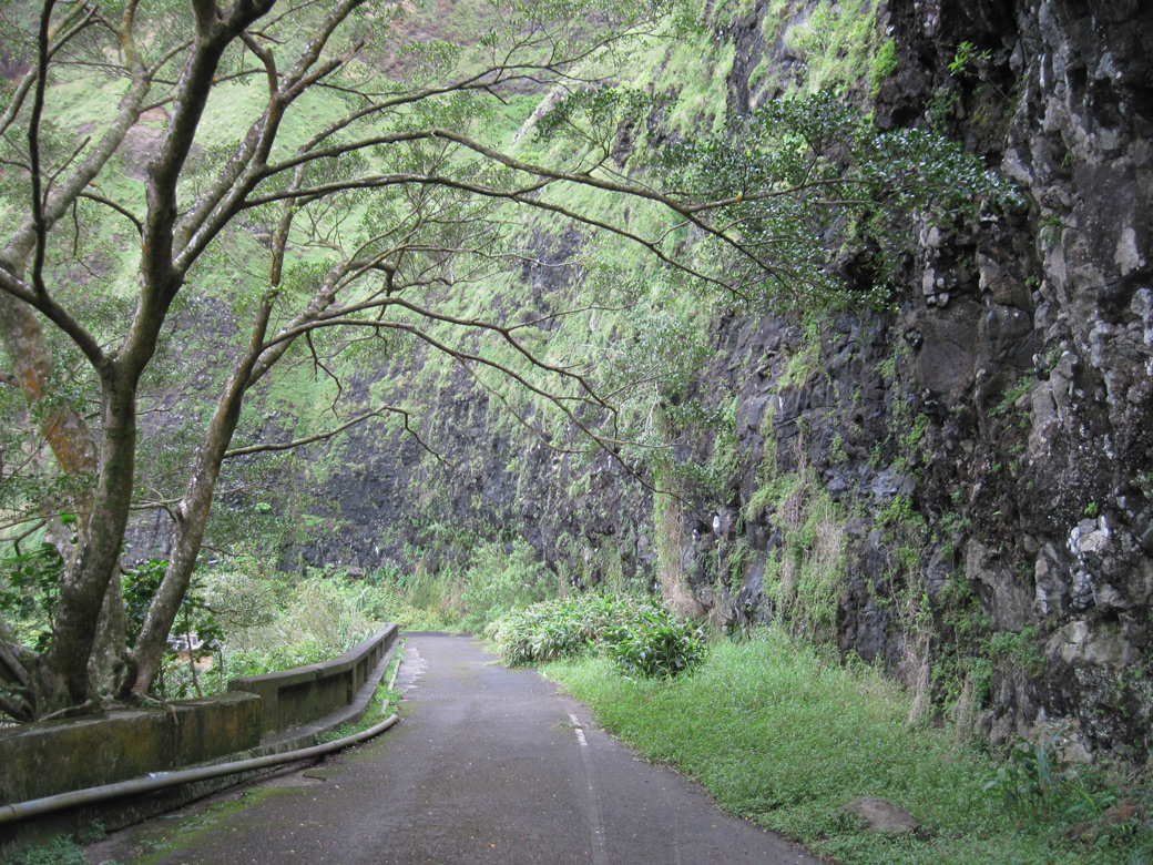
Old Pali Road just above the northbound roadway for Route 61 (Pali Highway).
01/18/11
A portion of the concrete railing along Old Pali Road remains in tact.
01/18/11
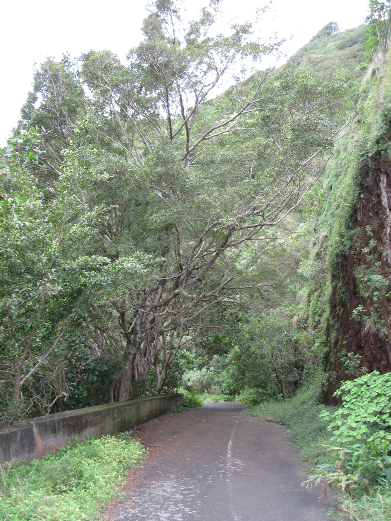
A section of elevated roadway along Old Pali Road.
01/18/11
01/18/11
A parclo interchange joins Pauoa Road with Route 61 (Pali Highway) near Punchbowl Crater and the Pacific Heights community. Some ramps utilize local streets, the northbound on-ramp to Kailua is independent of the street grid however.
01/18/11
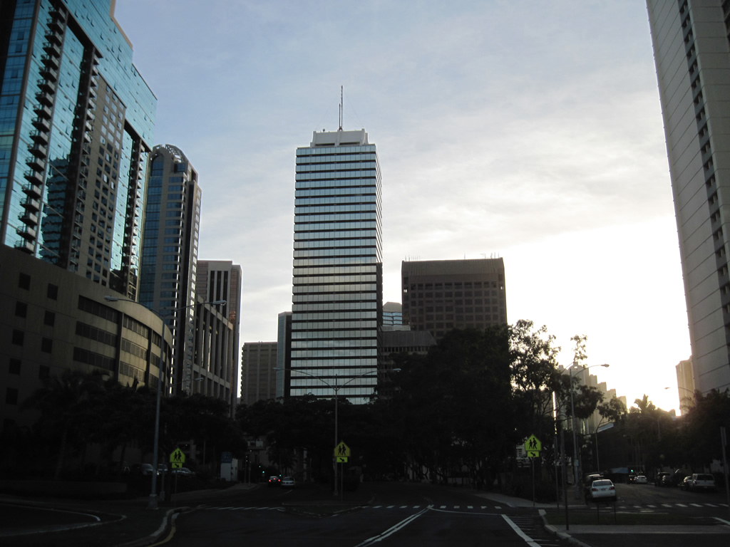
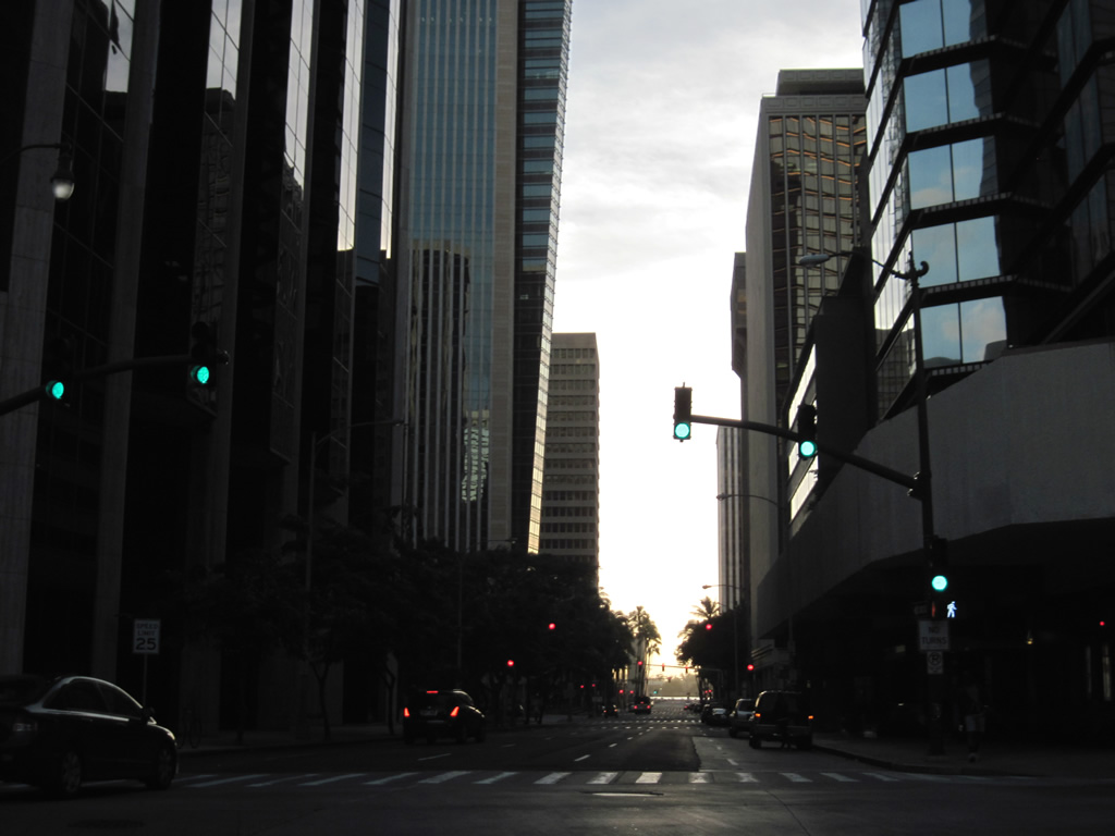
Route 61 ends at the intersection of Pali Highway with Route 98 (Vineyard Boulevard). Pali Highway continues one block south to partition with Fort Street at the Honolulu central business district.
01/17/11
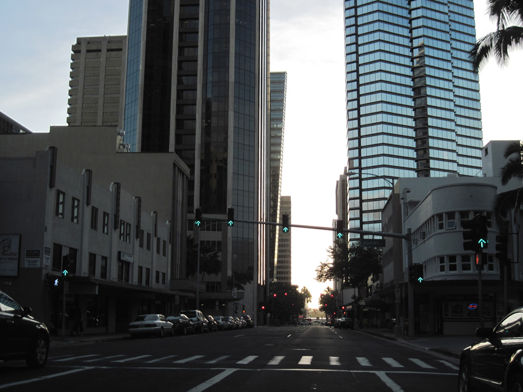
Pali Highway concludes at the intersection with Beretania Street. Bishop Street flows southwest from here to Aloha Tower Drive and Irwin Park off Honolulu Harbor.
01/17/11
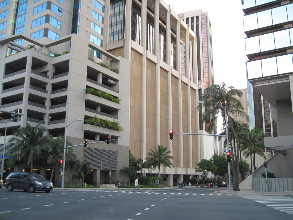
Bishop Street southwest and Alakea Street northeast join Pali Highway with Route 92 (Ala Moana Boulevard). Pictured here is Bishop Street south at Adams Lane, a parking garage driveway.
01/17/11
Turns are prohibited from the succeeding traffic light on Bishop Street at Hotel Street.
01/17/11
King Street carries one way traffic southward from Chinatown to Iolani Palace and the State Capitol complex.
01/17/11
Bishop Street at Merchant Street south.
01/17/11
Route 92 (Ala Moana Boulevard) meets Bishop Street at Irwin Park. The state route links Waikiki with Downtown, the Kalihi Kai industrial area and Honolulu International Airport (HNL).
01/17/11
References:
- Nu’uanu Pali State Wayside information board. (2011, January 18). Pali Road: From Trail to Highway. information board posted by the State of Hawai'i, Department of Land and Natural Resources, Division of State Parks.
Photo Credits:
- Alex Nitzman: 01/17/11, 01/18/11
Connect with:
Page Updated Tuesday January 23, 2024.