
Route 92 - Ala Moana Boulevard / Nimitz Highway
9.28 miles in length, Route 92 links Downtown Honolulu and Waikiki with Honolulu International Airport (HNL) along Ala Moana Boulevard and Nimitz Highway. The route also spurs west from I-H1 to Joint Base Pearl Harbor-Hickam (PHH).
Hawaii Route 92 Guides

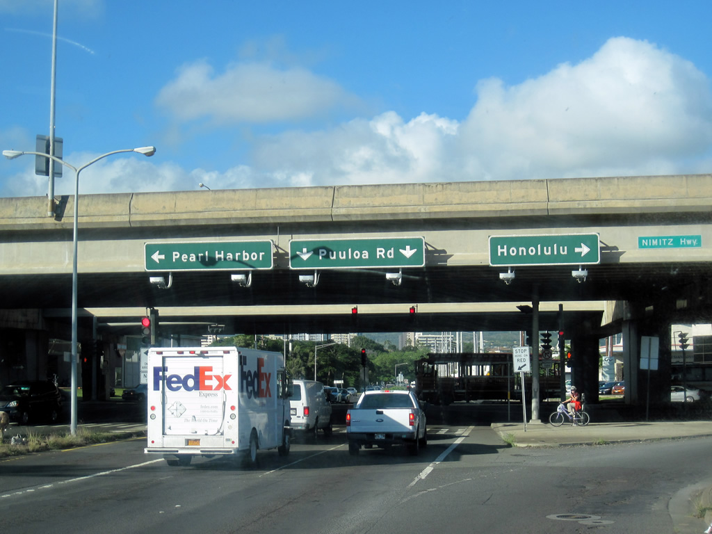
Hawaii Route 92 originates along Nimitz Highway at Center Drive by the gate into Joint Base PHH. Nimitz Highway comprises a 0.91 mile long freeway connecting O'Malley Boulevard and Joint Base PHH with I-H1 and Route 99 (Kamehameha Highway) north. Route 92 parallels I-H1 along an at-grade boulevard traveling directly below the viaduct taking Queen Liliuokalani Freeway across Honolulu International Airport (HNL).
Nimitz Highway separates from I-H1 across Moanalua Stream into the Kalihi Kai neighborhood of Honolulu. Route 92 serves an industrial area populated with warehouses southeast to the Kapalama Drainage Canal. Continuing by port facilities and several big box retail stores, Nimitz Highway expands onto a pair of four lane couplets. The separate roadways recombine where Route 92 turns south into Chinatown.
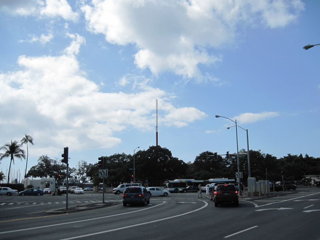
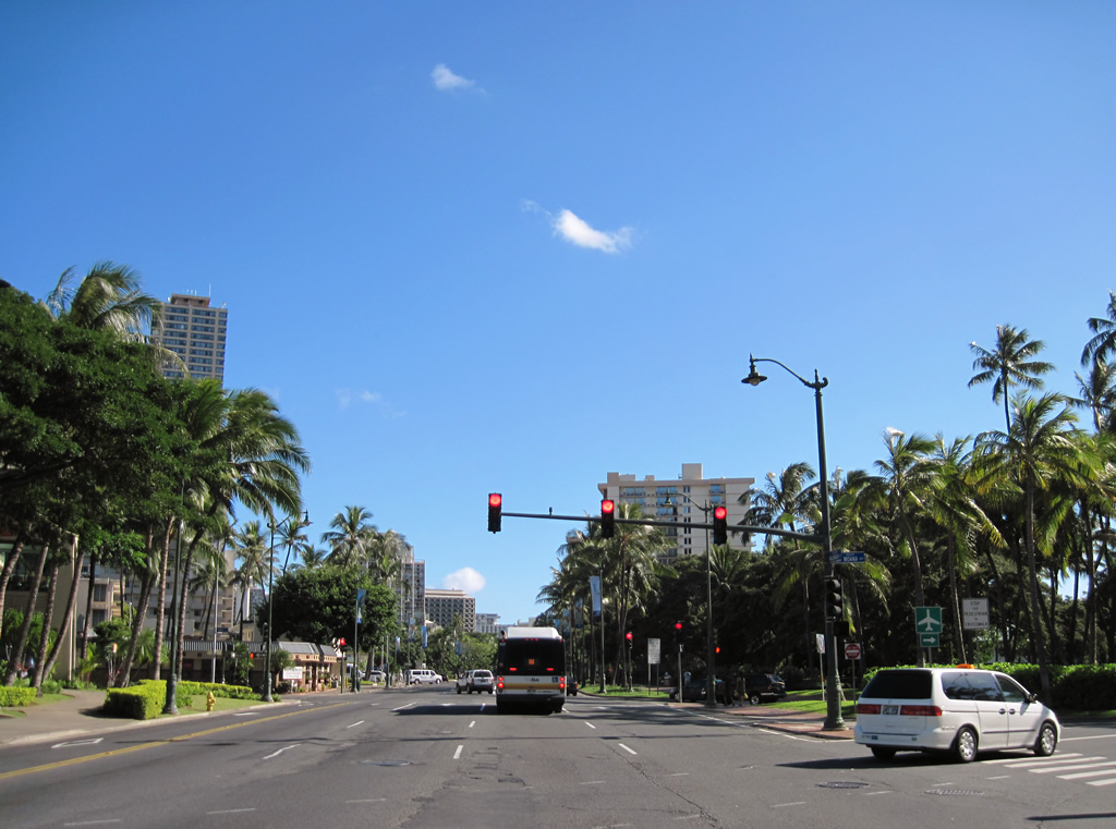
Nimitz Highway runs along Honolulu Harbor south to Aloha Tower Drive, where Route 92 transitions onto Ala Moana Boulevard. Ala Moana Boulevard leads Route 92 east through the Kaka'ako and Ala Moana neighborhoods adjacent to Ala Moana Beach Park. Crossing Ala Wai Canal, Ala Moana Boulevard enters Waikiki. Route 92 arcs southeast by a number of hotel and condominium towers to conclude at Kalākaua Avenue and the couplet of Pau and Niu Streets.
The eastern extent of Route 92 previously followed Atkinson Drive east from Ala Moana Boulevard to Kapiolani Boulevard. The section of Ala Moana Boulevard east from Atkinson Drive into Waikiki was designated Route 920.
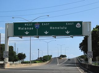
Lagoon Drive exits the HNL Airport area to become Puuloa Road north of Route 92 (Nimitz Highway) and the I-H1 viaduct. Button copy signs directed motorists onto Route 92 west to Pearl Harbor and east to Honolulu. Puuloa Road north to I-H201 was State Route 66 originally.
01/14/11
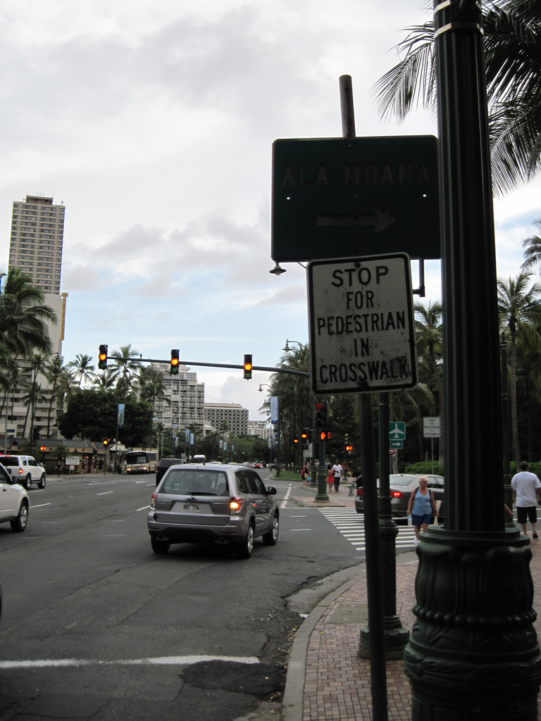
Atkinson Drive (former Route 92) links Kapiolani Boulevard with the Ala Moana Center and Route 92 (Ala Moana Boulevard). The arterial connects with Ala Moana Park Drive west at Route 92.
01/15/11
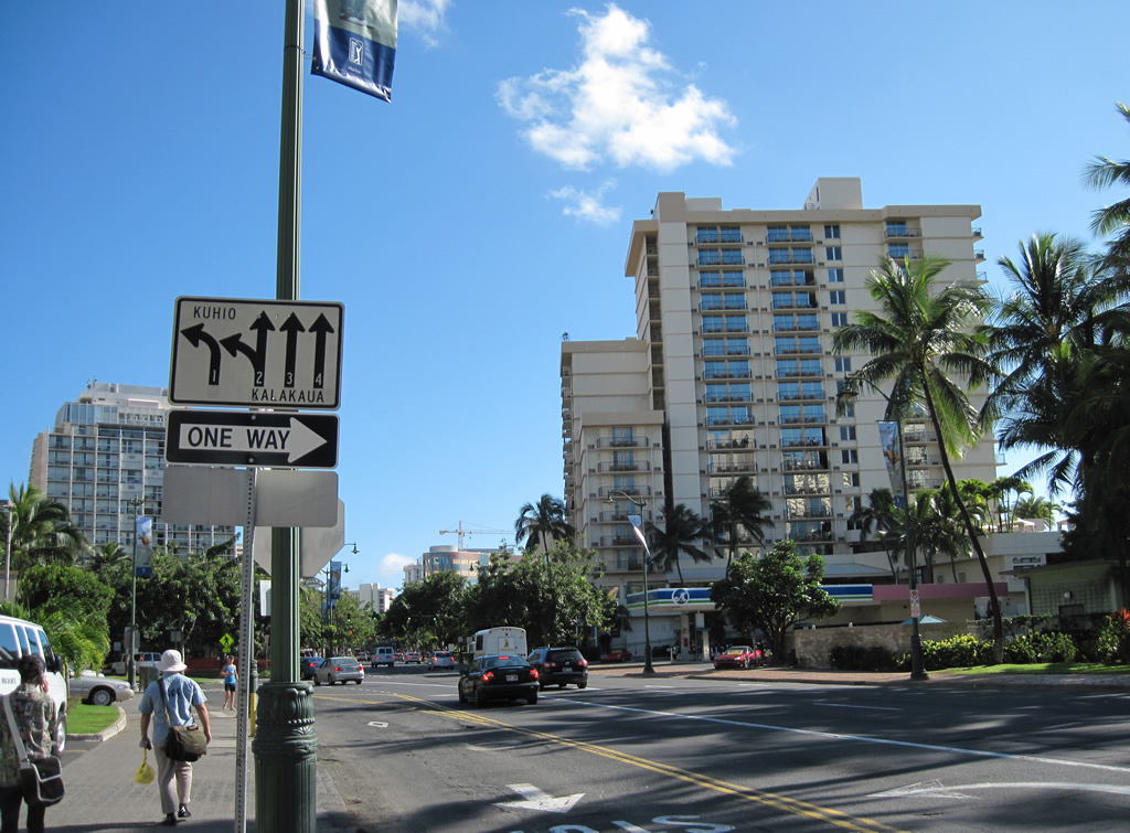
Kalakaua Avenue leads south from Beretania and King Streets, near Interstate H1, to Waikiki. The commercial boulevard meets the east end of Route 92 (Ala Moana Boulevard) at Niu Street. An older guide sign directs traffic to Ala Moana via the 9.26 mile long route.
01/15/11
Fort DeRussy Military Reservation lies on the southwest corner of Kalakaua Avenue and Ala Moana Center. The reservation includes a public beach. Kalakaua Avenue becomes one way southbound from Kuhio Avenue, near Route 92, southeast to Waikiki Beach.
01/16/11
Two blocks south of Route 92 (Ala Moana Boulevard) is where Kuhio Avenue separates with Kalakaua Avenue. Numerous hotels, shops, restaurants and other businesses line Kuhio Avenue as the main commercial strip through Waikiki.
01/15/11
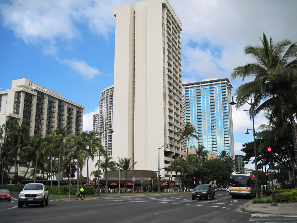
Kalakaua Avenue northbound at Ala Moana Boulevard in Waikiki. Route 92 begins here, but is unsigned west until Ala Moana Park.
01/15/11
Photo Credits:
- Alex Nitzman: 01/14/11, 01/15/11, 01/16/11
Connect with:
Page Updated Thursday December 15, 2011.