
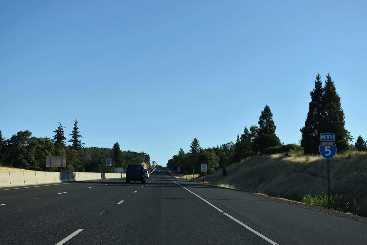
Interstate 5 North - Sutherlin to Cottage Grove

Settlers arrived at Cottage Grove in 1848 via the Oregon and Applegate Trails. The first post office was established in 1855 and the discovery of gold in 1863 in the nearby Bohemia Mountains caused the town to prosper. The timber industry and arrival of the railroad in 1872 and Pacific Highway in 1909 continued to maintain the economic strength of Cottage Grove. Interstate 5 opened to traffic at Cottage Grove in 1957.
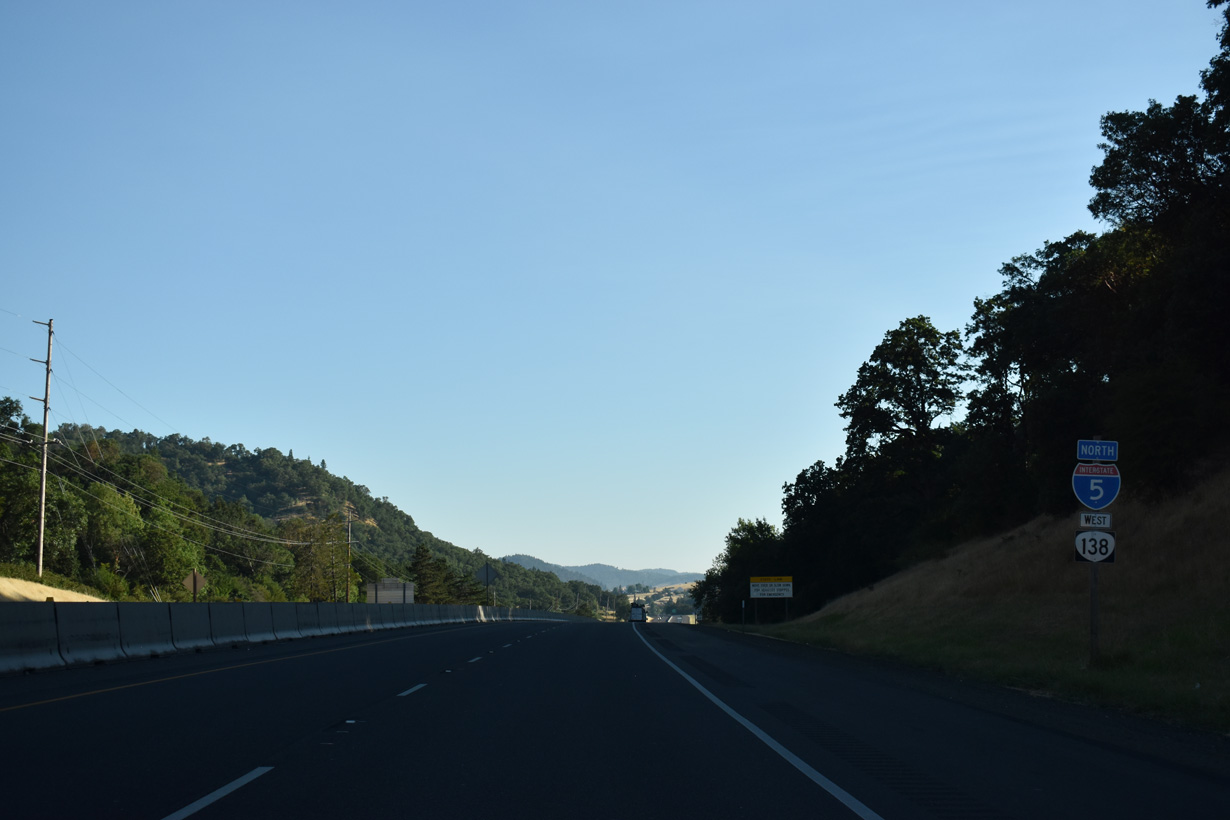
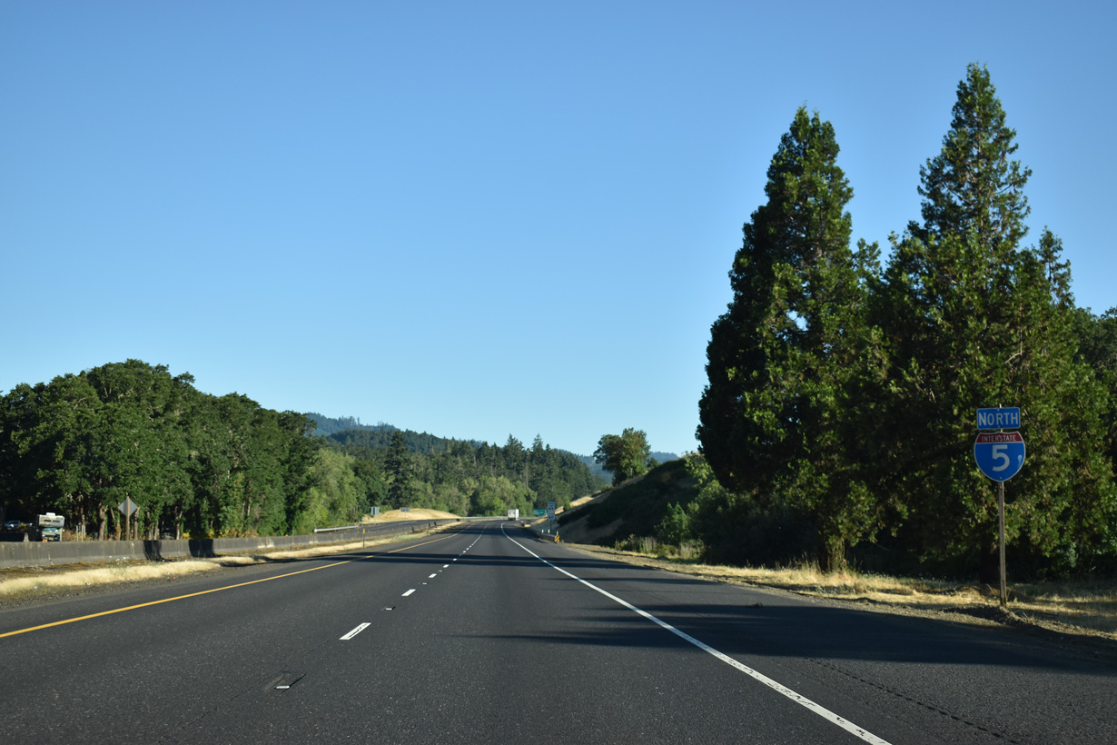
I-5/OR 138 leaves the city of Roseburg beyond mile post 127.
07/16/23
A folded diamond interchange joins I-5/OR 138 with Del Rio Road and OR 99 (Oakland-Shady Highway) north of Winchester and Roseburg North.
07/16/23
Parallel OR 99 comes into view where I-5/OR 138 span the North Umpqua River at Roseburg north.
07/16/23

Wilbur lies north of Del Rio Road along OR 99 (Old Highway 99). The unincorporated community was named for James H. Wilbur, D. D., otherwise known as Father Wilber, one of Oregon's best-known pioneer Methodist ministers.
07/16/23
A previous shield assembly posted north of Exit 129 included OR 138 west. Interstate 5 crosses the Southern Pacific Railroad beyond this confirming marker.
07/16/23
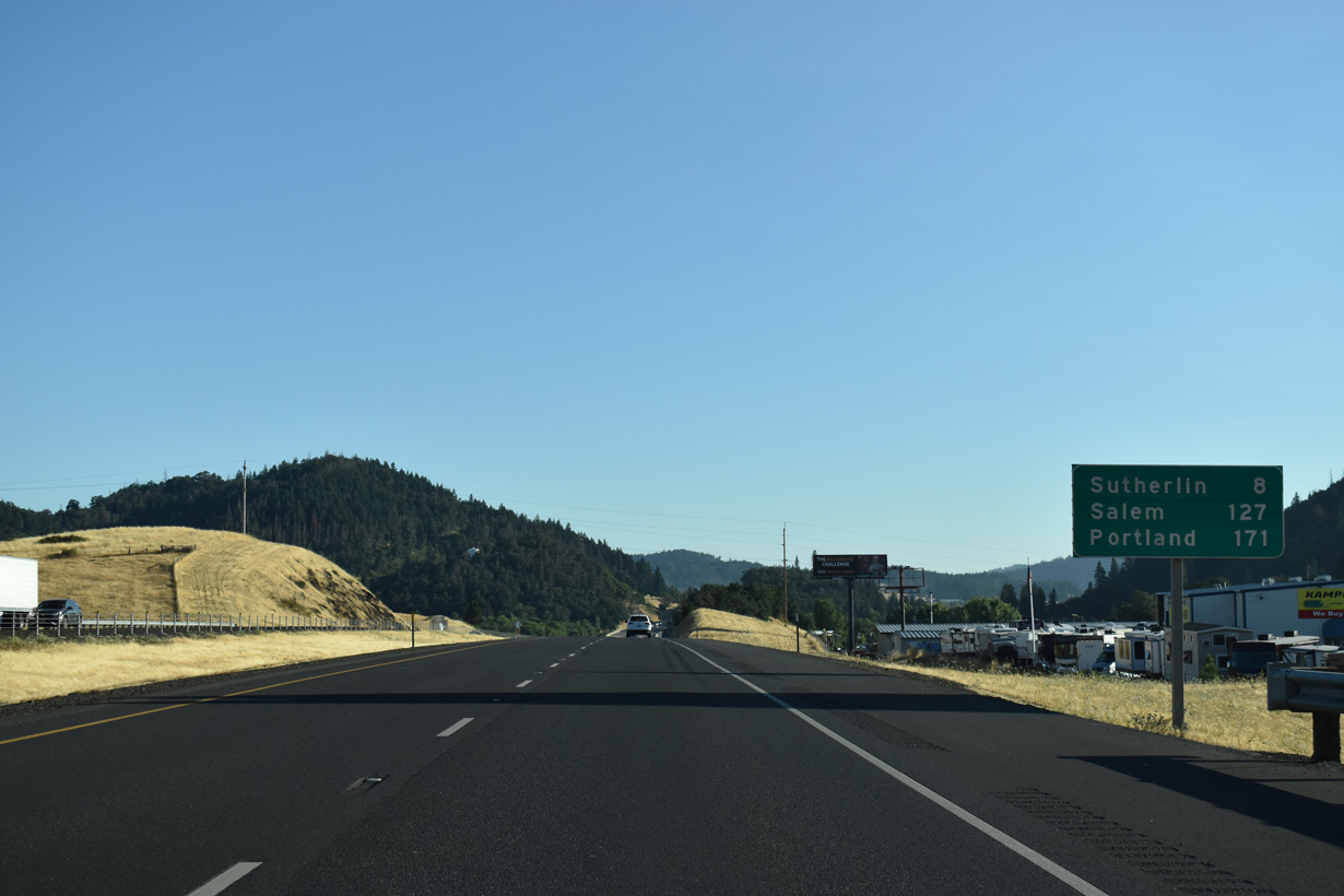
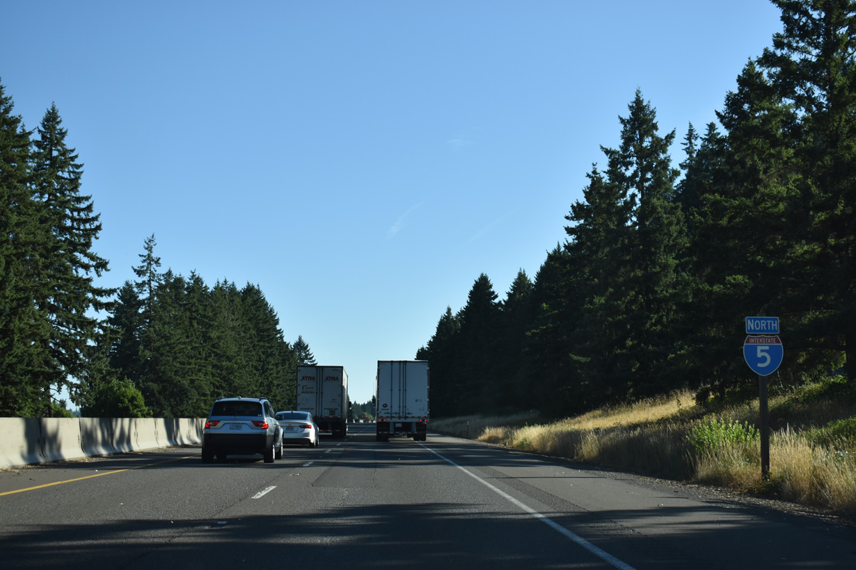
The Salem city center is 126 miles to the north via Interstate 5 and OR 22 west. Downtown Portland is 170 miles away.
07/16/23
OR 99 remains along the east side of I-5/OR 138 as both highways travels north past the Southern Pacific Railroad siding of Deady.
07/16/23
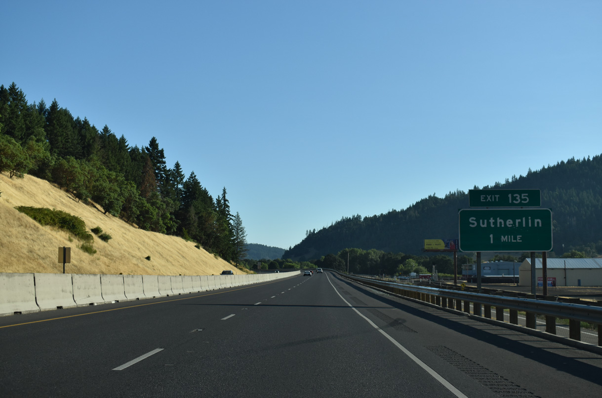
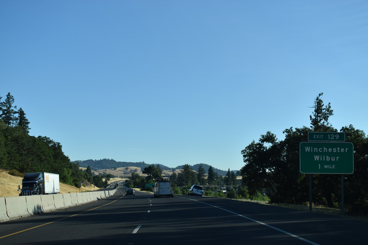
The first of two for the city of Sutherlin, Exit 135 links I-5/OR 138 with an access road to Comstock Road and OR 99 (Oakland-Shady Highway). Founded in 1911, Sutherlin lies 518 feet above sea level and was home to 8,524 as of the 2020 Census.
07/16/23
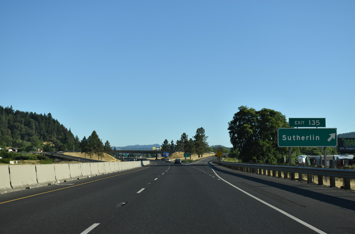
OR 99 diverges northeast from the diamond interchange at Exit 135 and travels 1.7 miles to Central Avenue (former OR 138). Comstock Road stems north from the I-5 access road to Elkton-Sutherlin Highway (former OR 138).
07/16/23
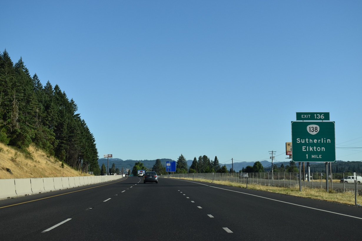
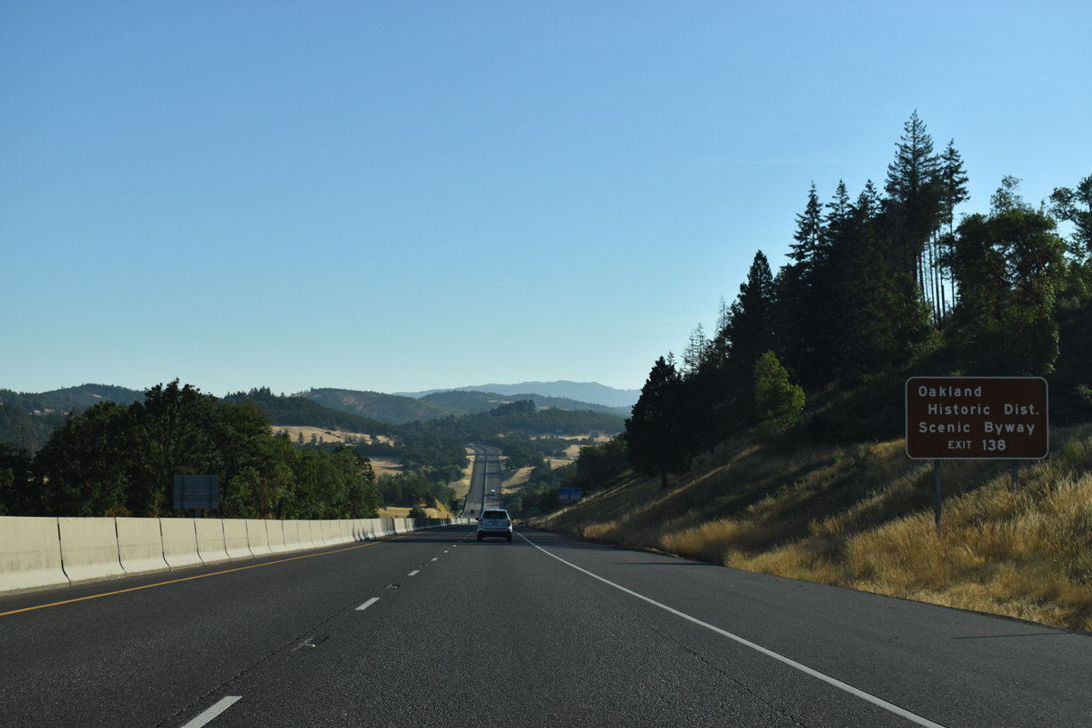
OR 138 parts ways with I-5 north for its northwest leg between Sutherlin and OR 38 at Elkton. The state route is also part of the Umpqua River Oregon Scenic Byway from Exit 138 northwest to Elkton.
07/16/23
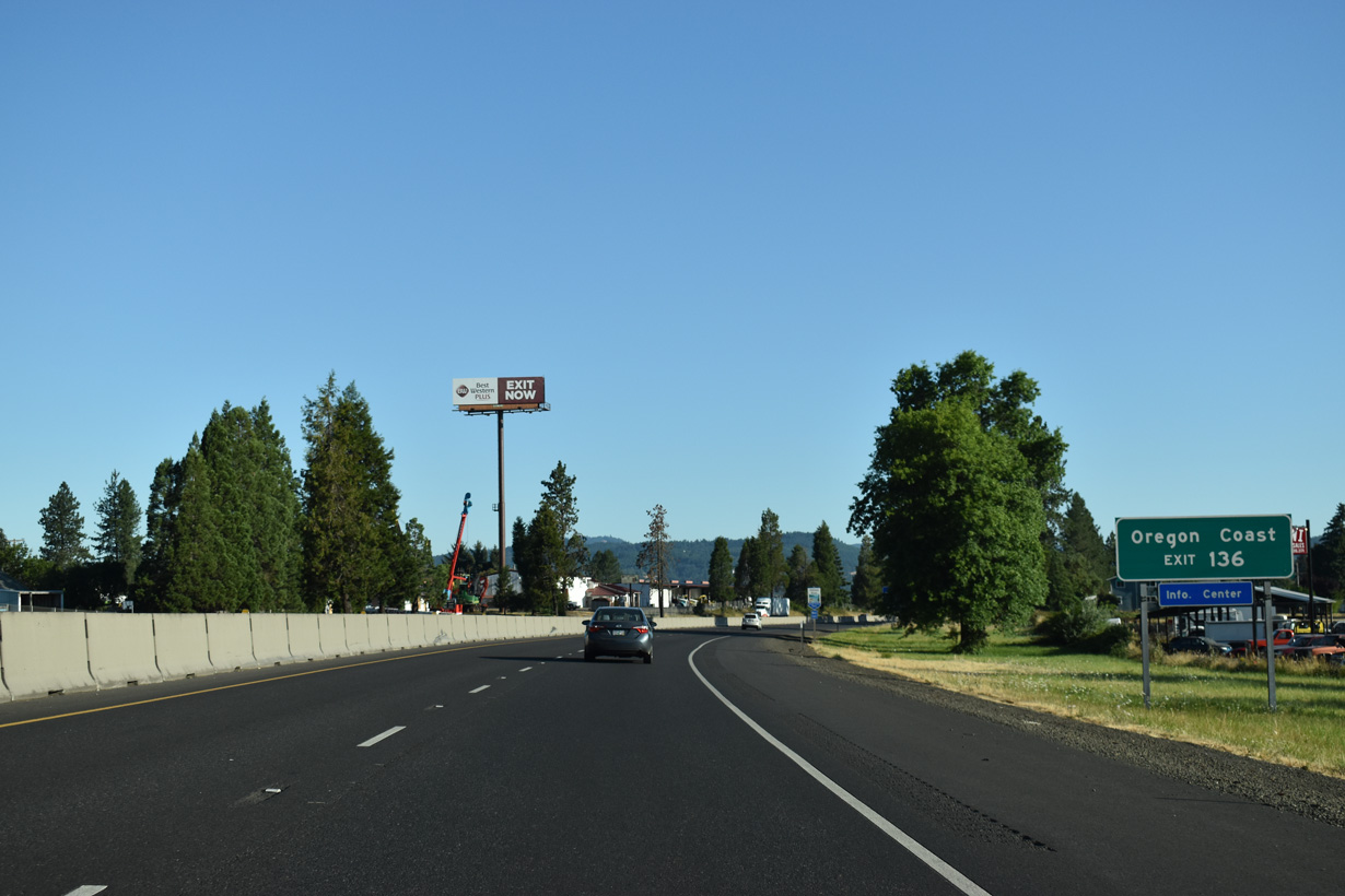
A tourist information center is located near the parclo interchange (Exit 136) joining I-5, OR 138 (Elkton-Sutherlin Highway) and Central Avenue. The Umpqua River Oregon Scenic Byway extends west along OR 38 over the Coast Ranges to U.S. 101 at Reedsport along the Oregon coast.
07/16/23
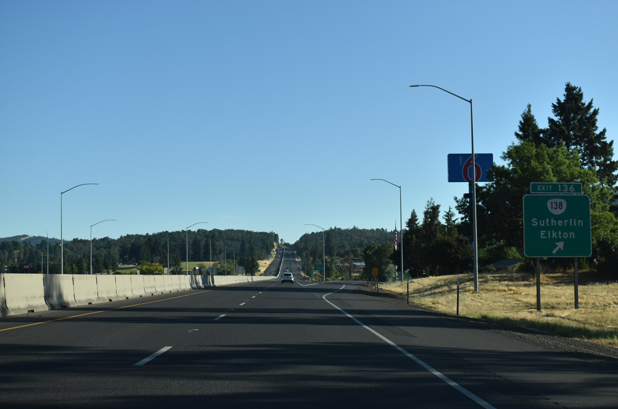
OR 138 follows Elkton-Sutherlin Highway northwest 25 miles to OR 38 (Umpqua Highway) at Elkton. OR 138 originally continued east along Central Avenue to OR 99 (Calapooia Street) in Downtown Sutherlin.
07/16/23
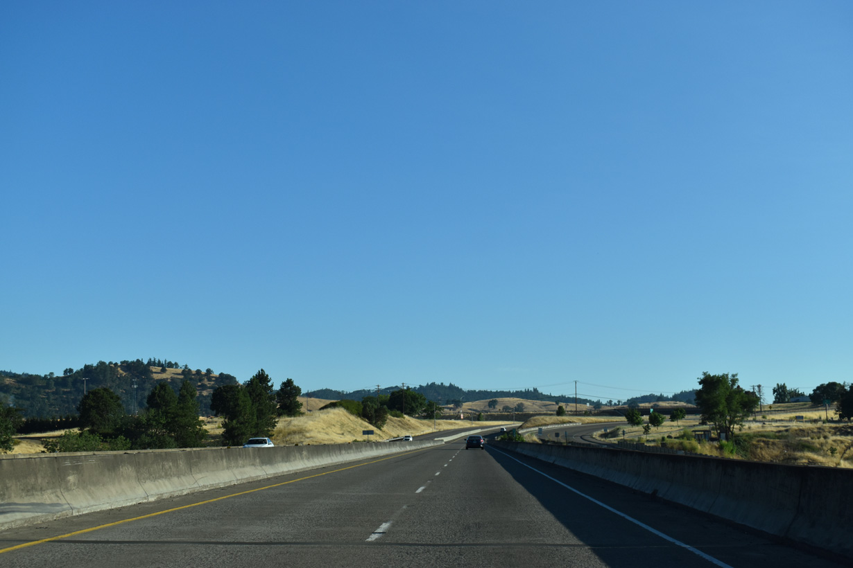
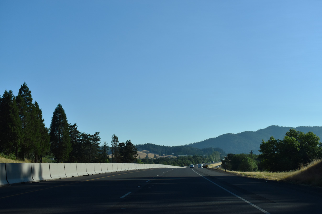
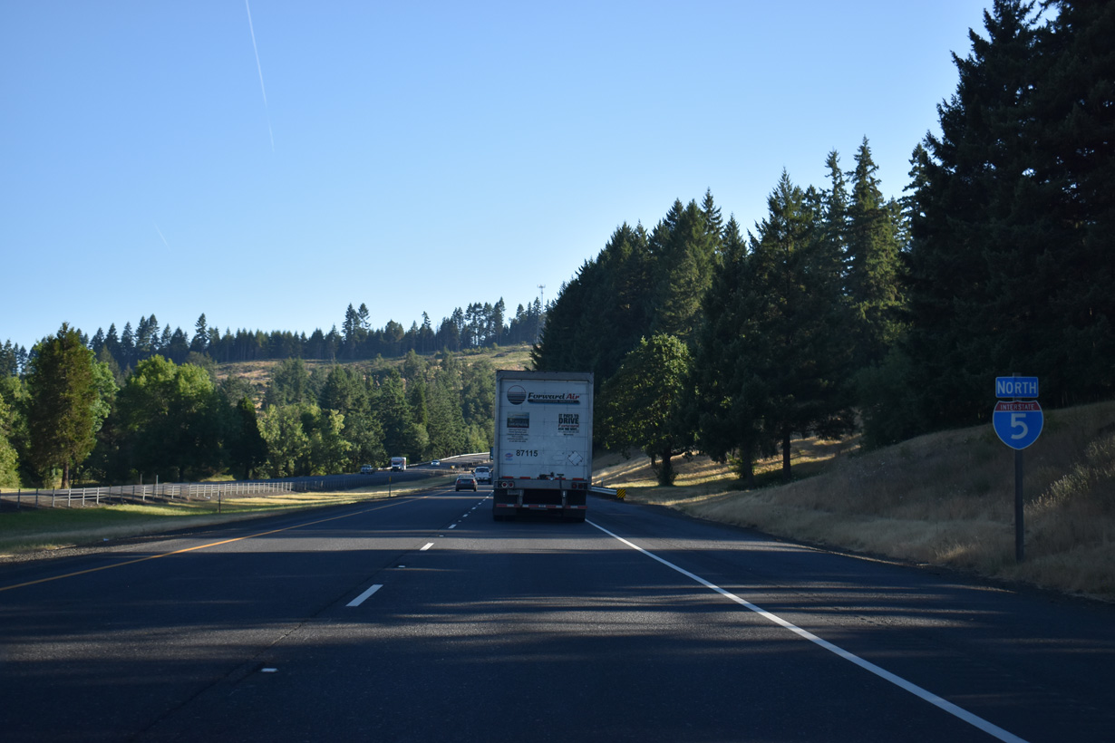
Continuing north, Interstate 5 travels west of a hill separating the freeway from OR 99 through Union Gap.
07/16/23
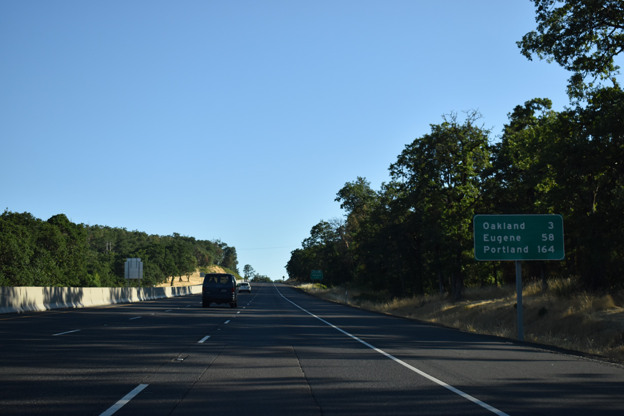
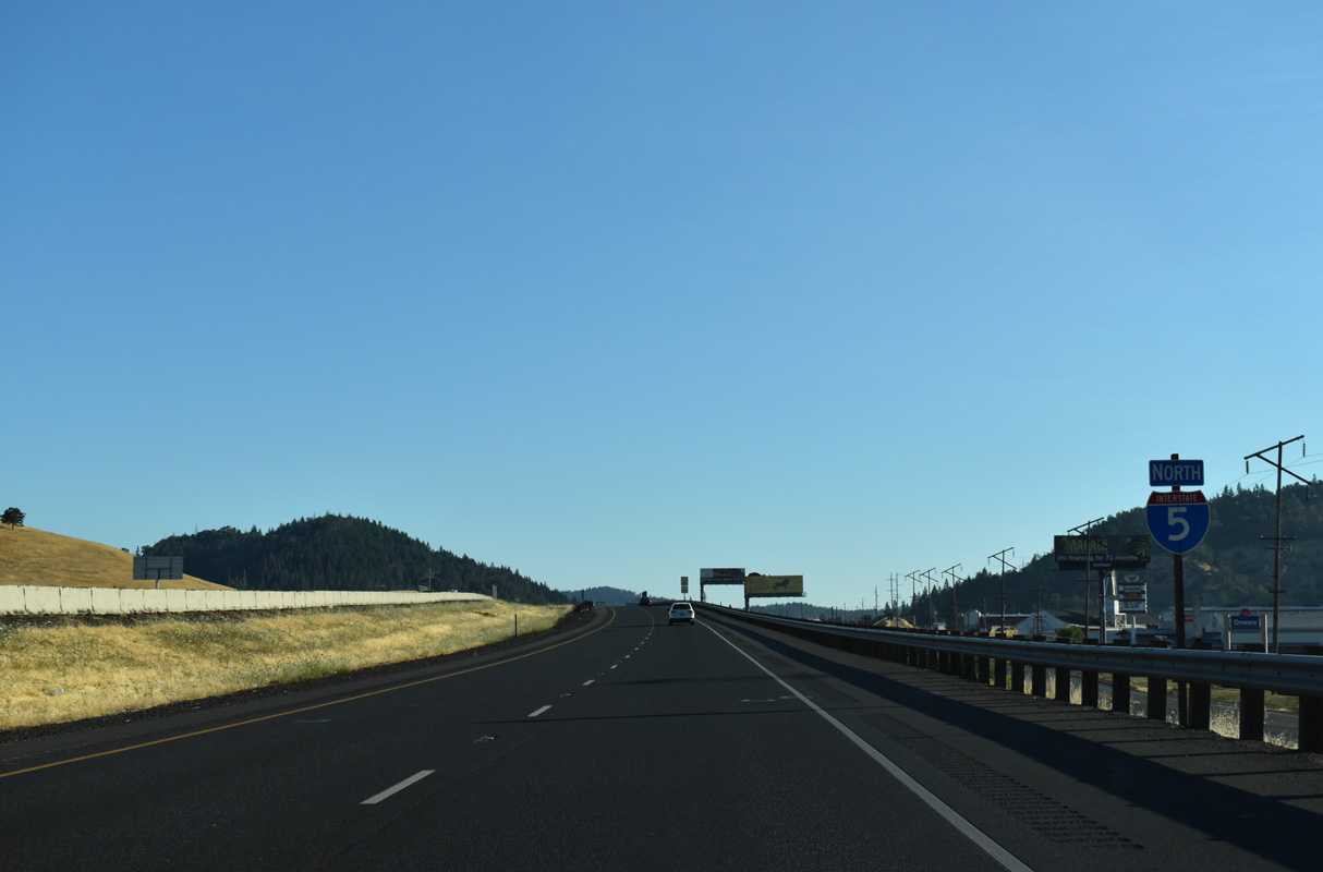
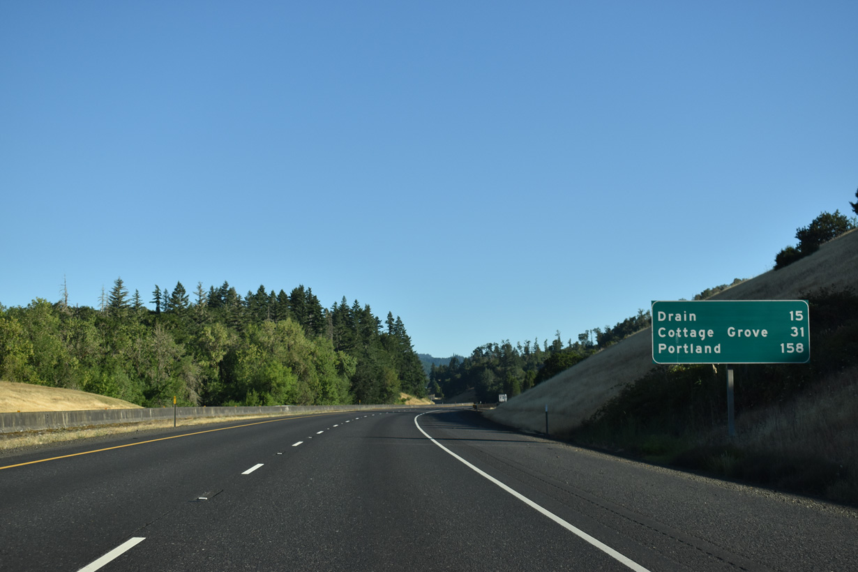
Eugene is 58 miles to the north of Sutherlin.
07/16/23
OR 99 (Oakland-Shady Highway) turns east after Union Gap into city of Oakland. Oakland is known as the "Turkey Capital of the World" for its role as the leading turkey shipping center in the western United States at the turn of the 20th century.
07/16/23
The easternmost section of the Umpqua River Scenic Byway follows OR 99 north from Central Avenue in Sutherlin to Locust Street and the Oakland Historic District.
07/16/23
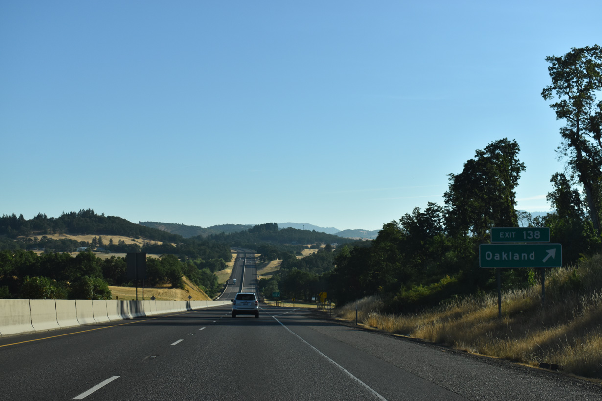
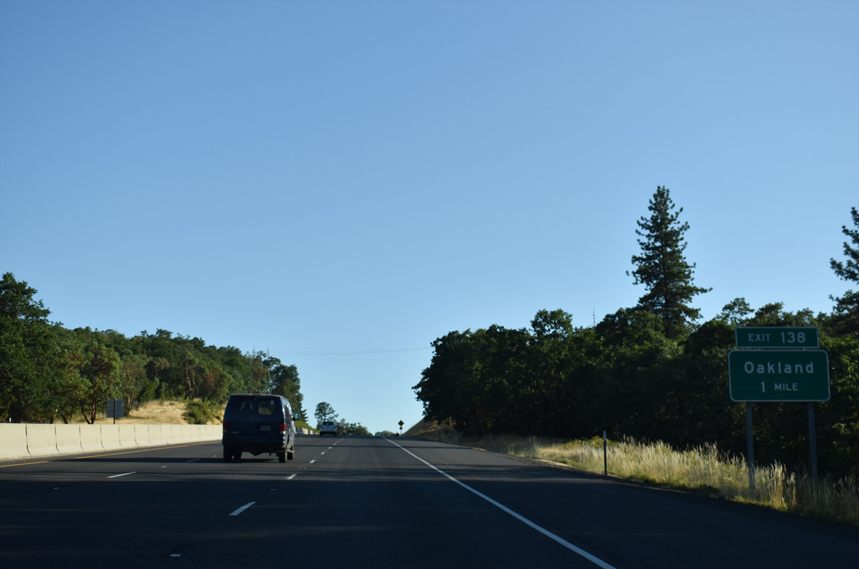
Steams Lane (CR 10A) runs 1.5 miles east from the half diamond interchange at Exit 138 to OR 99 at Walnut Street in Oakland.
07/16/23
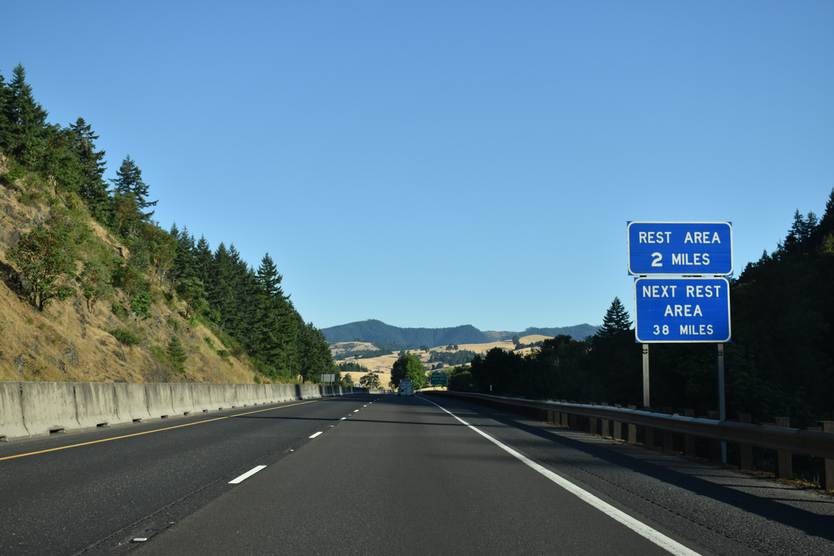
OR 99 rejoins Interstate 5 north from a wye interchange (Exit 140) joining the freeway southbound with Oakland. The Cabin Creek Rest Area follows in two miles.
07/16/23
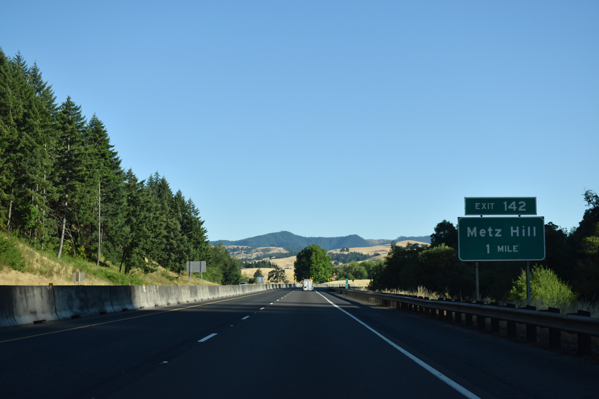
Metz Hill Road travels 2.9 miles east from Green Valley Road in Green Valley to the diamond interchange at Exit 142.
07/16/23
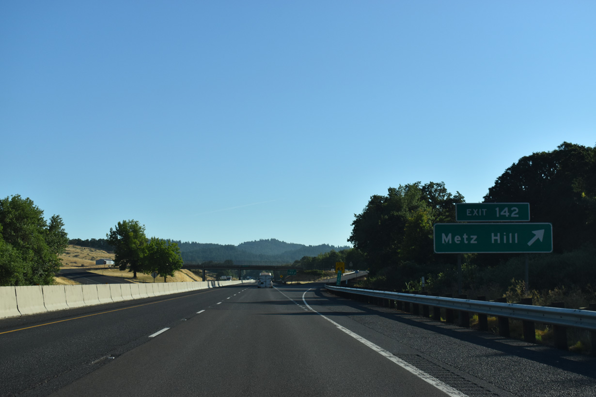
Goodrich Highway extends northeast from Metz Hill Road and Exit 142 to Rice Hill.
07/16/23
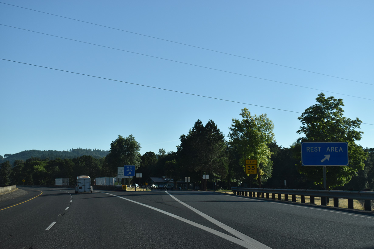
The Cabin Creek Rest Area lines the northbound roadway adjacent to Cabin Creek and the Southern Pacific Railroad ahead of mile marker 143.
07/16/23
Interstate 5 proceeds northwest by Wheeler Canyon and around Turkey Hill.
07/16/23
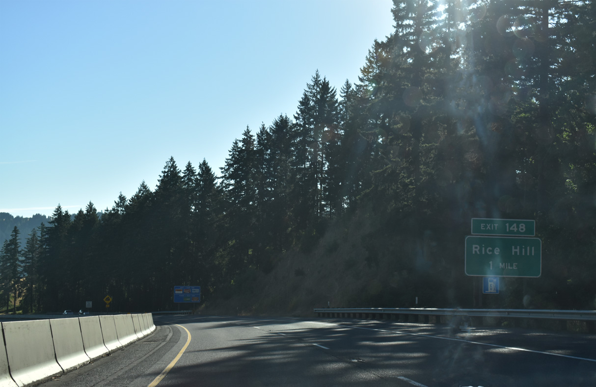
Curving northeast Interstate 5 lowers from Rice Hill Summit (elevation 723 feet) into Rice Valley.
07/16/23
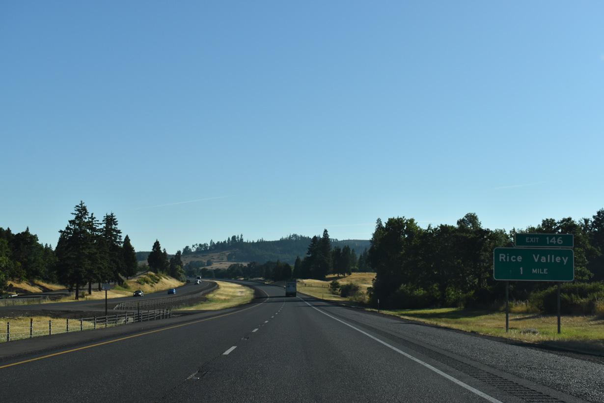
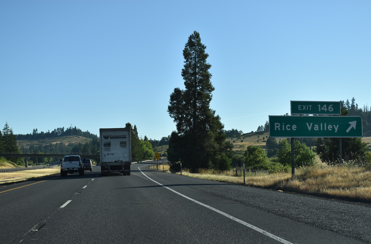
Rice Valley Road parallels the west side of I-5 north to the parclo interchange at Exit 146.
07/16/23
Rice Valley Road continues northwest around Rice Hill to the city of Yoncalla. Isadore Road ties into the access road at Exit 146 from adjacent ranchland.
07/16/23
I-5/OR 99 shifts east through an S-curve across Rice Hill.
07/16/23
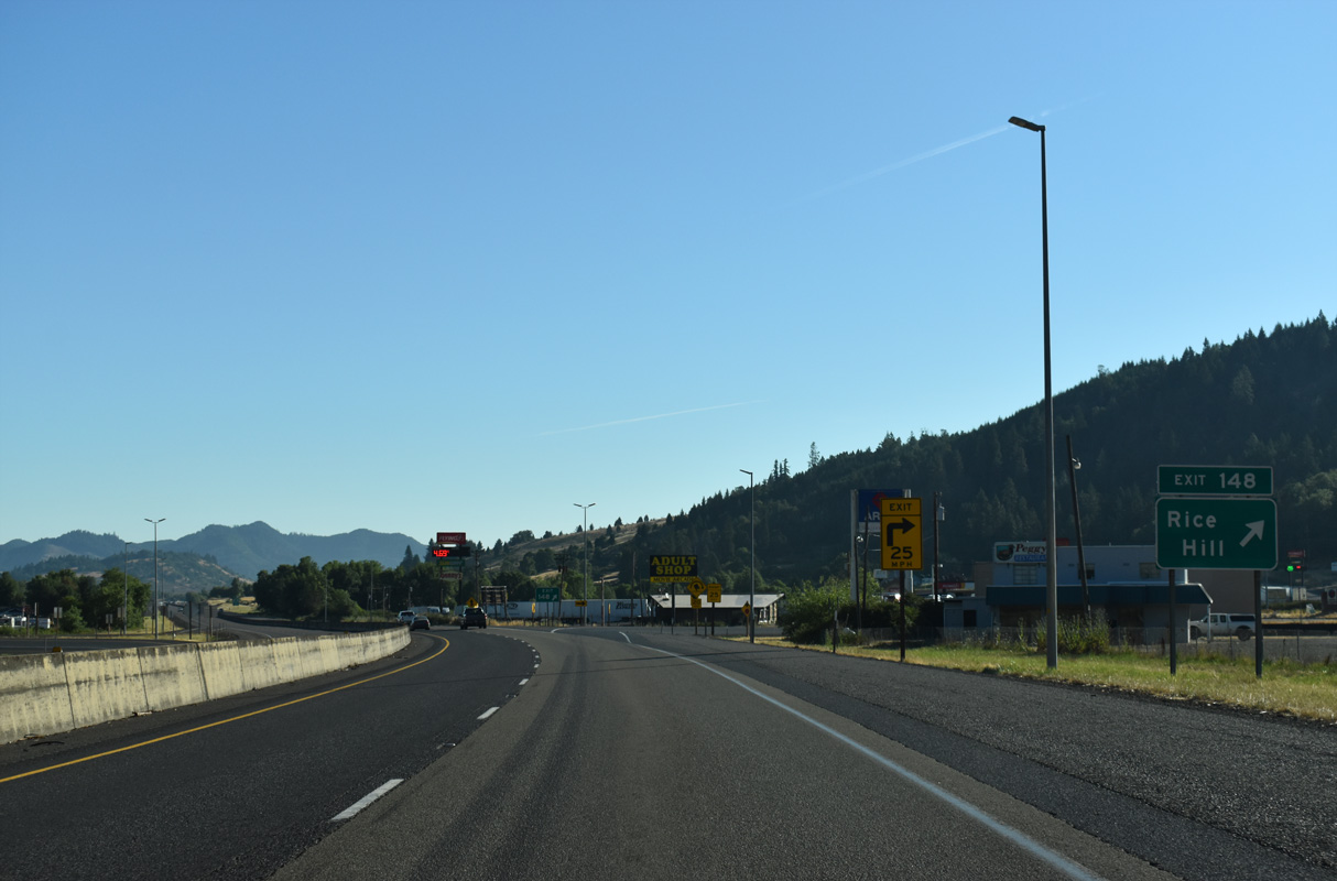
Old U.S. 99 separates from I-5/OR 99 along John Long Road from Exit 148 and the unincorporated community of Rice Hill.
07/16/23
Right in right out (RIRO) ramps at Exit 148 join Interstate 5 with adjacent John Long Road (CR 126A). John Long Road meets the freeway again at Exit 150.
07/16/23
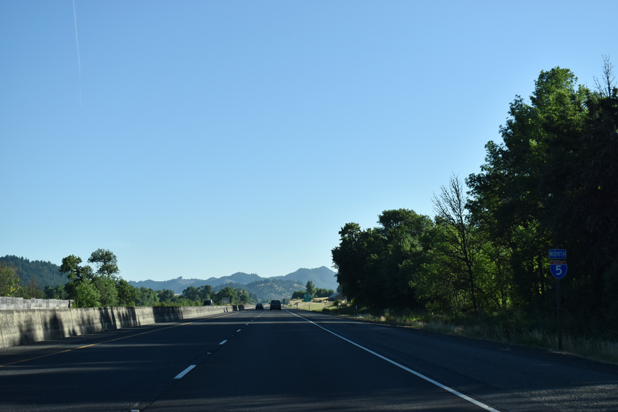
Interstate 5 travels between Yoncalia Creek and ranch land along John Long Road (Old U.S. 99) north through Pleasant Valley.
07/16/23
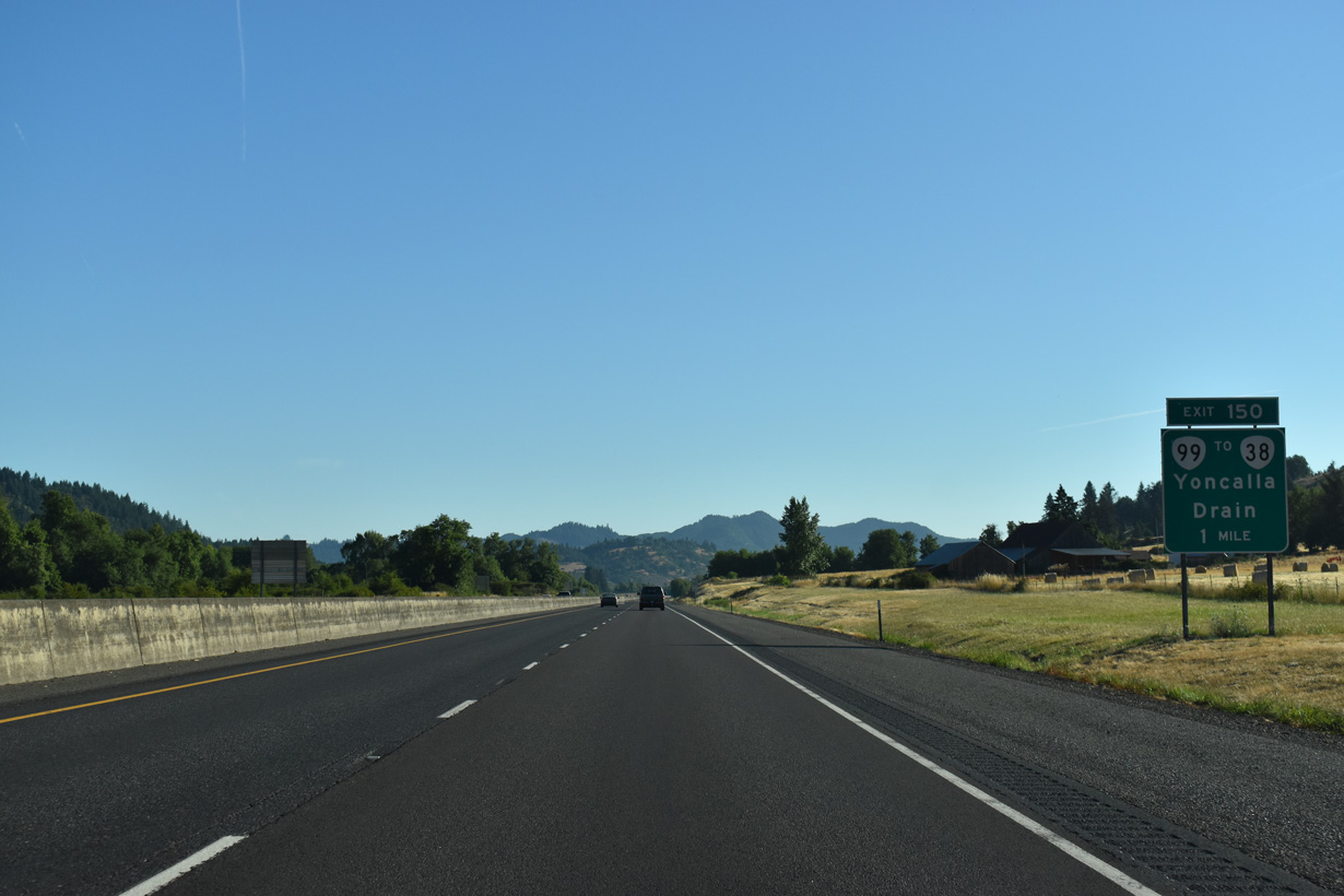
OR 99 separates from I-5 again at the trumpet interchange (Exit 150) with John Long Road south and Eagle Valley Road north. OR 99 heads 2.4 miles north to Yoncalla and 7.8 miles to OR 38 west at Drain. OR 99 loops back to I-5 at Exit 161 near Curtin.
07/16/23
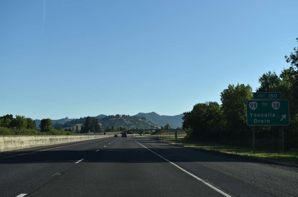
OR 38 traverses the Coast Range west between Drain and Reedsport. Yoncalla derives its name from nearby Mount Yoncalla, which Indians referred to as home of the eagles. First settled in 1847, Drain represents a historic timber community. The settlement incorporated in 1888 under the leadership of mayor John Drain.
07/16/23
Interstate 5 crosses the Southern Pacific Railroad and Wilson Creek north of this confirming marker preceding milepost 151.
07/16/23
Interstate 5 advances northeast through Pleasant Valley east of Ambrose Hill.
07/16/23
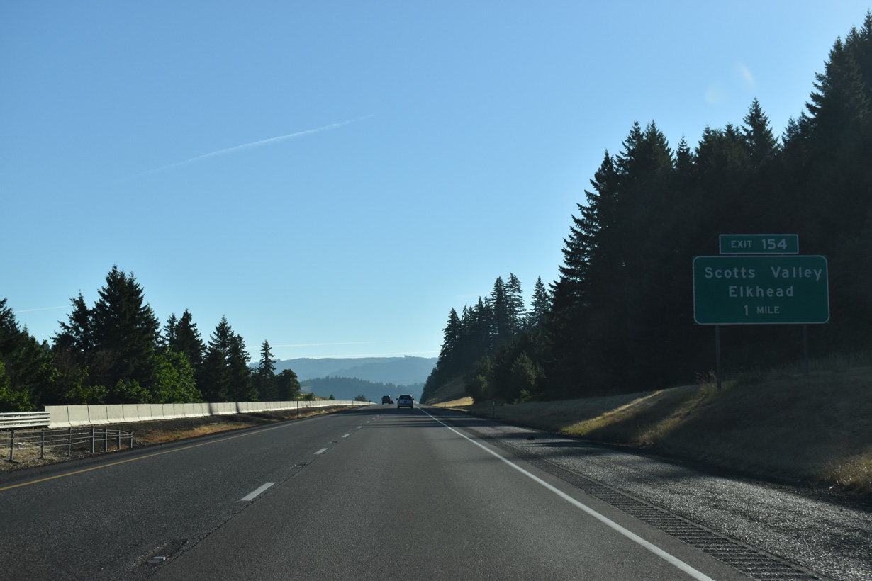
Elkhead Road (CR 7) stems east from OR 99 at Yoncalla to Interstate 5 at the west end of Scotts Valley.
07/16/23
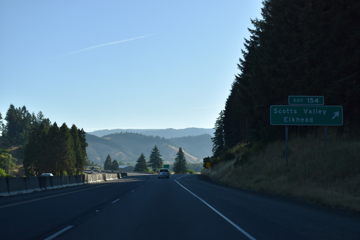
Elkhead Road continues south from Scotts Valley around Dickinson Mountain to the unincorporated community of Elkhead.
07/16/23

An entrance ramp connects Scotts Valley Road (CR 8) with Interstate 5 ahead of this confirming marker at Scotts Valley.
07/16/23
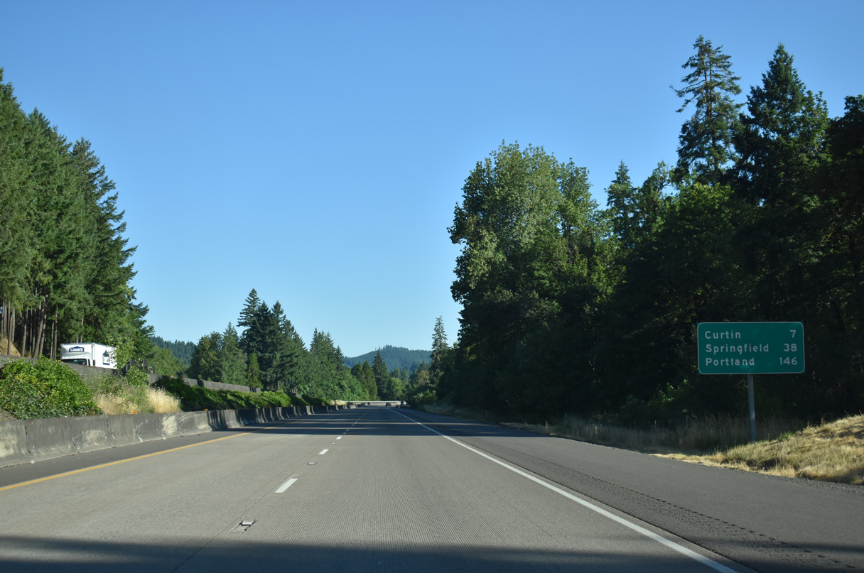
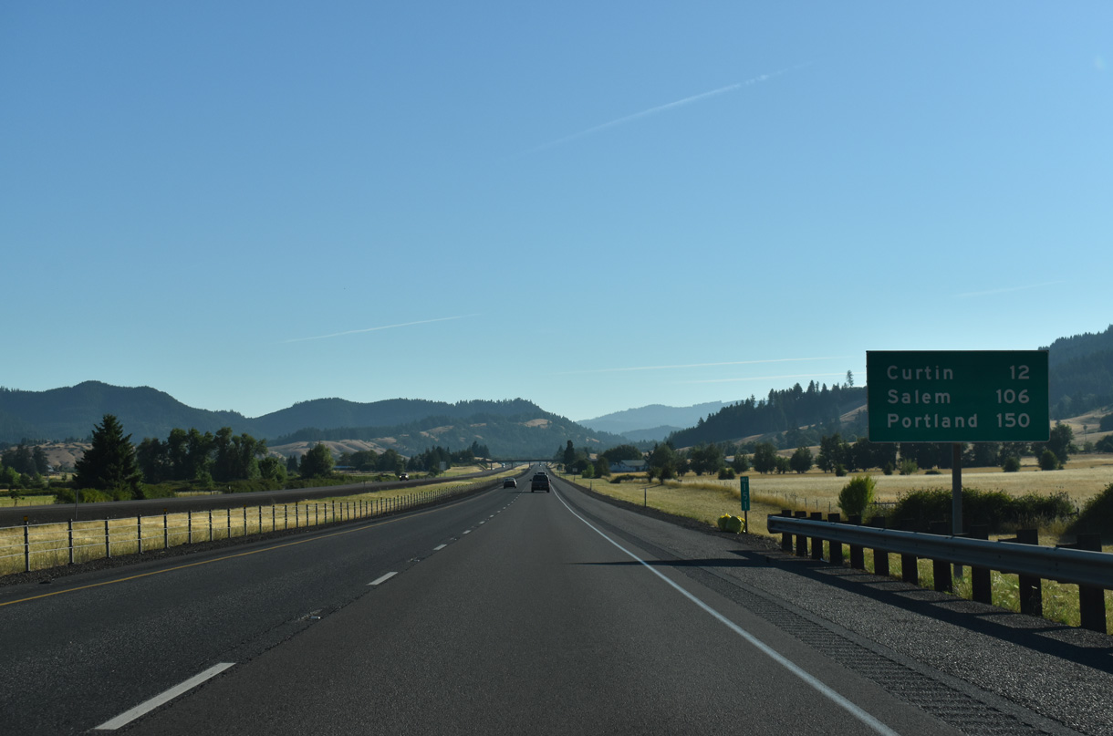
The Springfield city center is 36.7 miles north of this distance sign referencing 38 miles.
07/16/23
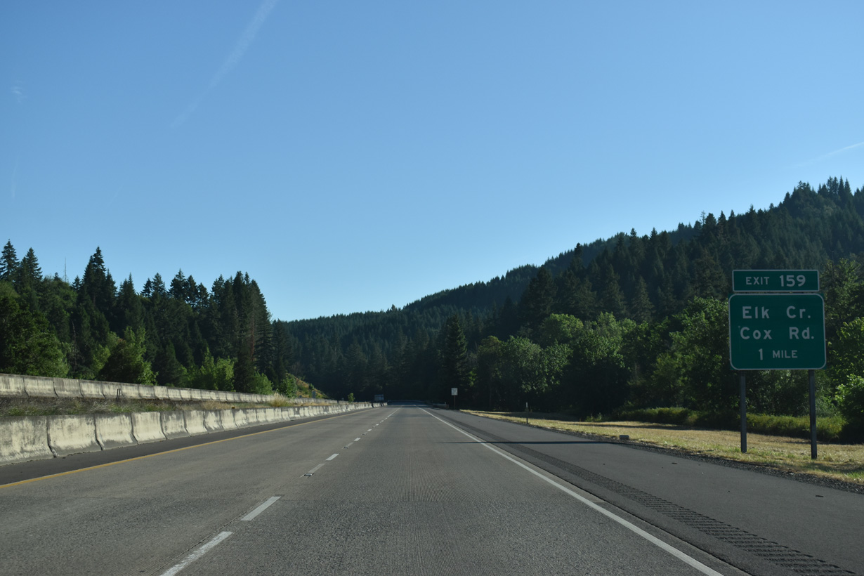
Thief Creek flows to the east of a meadow adjacent to Interstate 5 and parallel Cox Road (CR 196A).
07/16/23
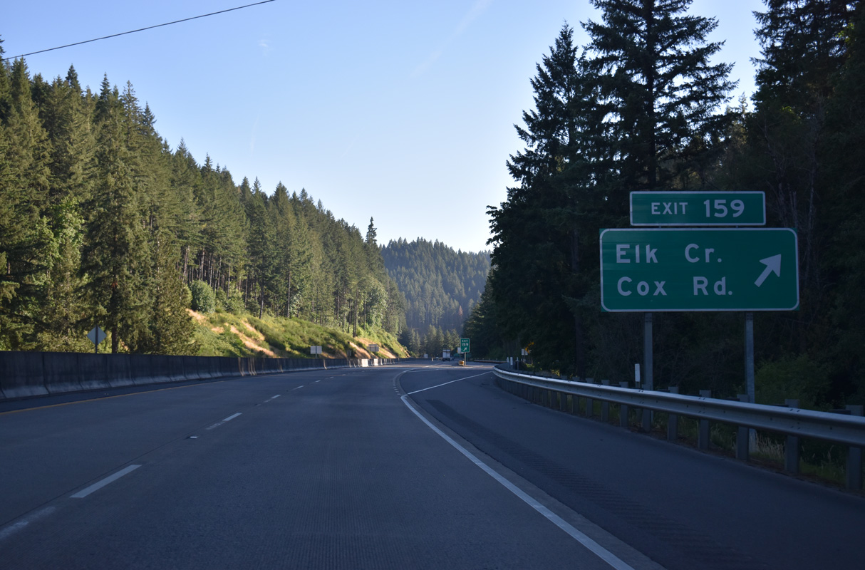
Right in right out (RIRO) ramps at Exit 159 connect Interstate 5 with Elk Creek Road leading back south to Cox Road (CR 96).
07/16/23
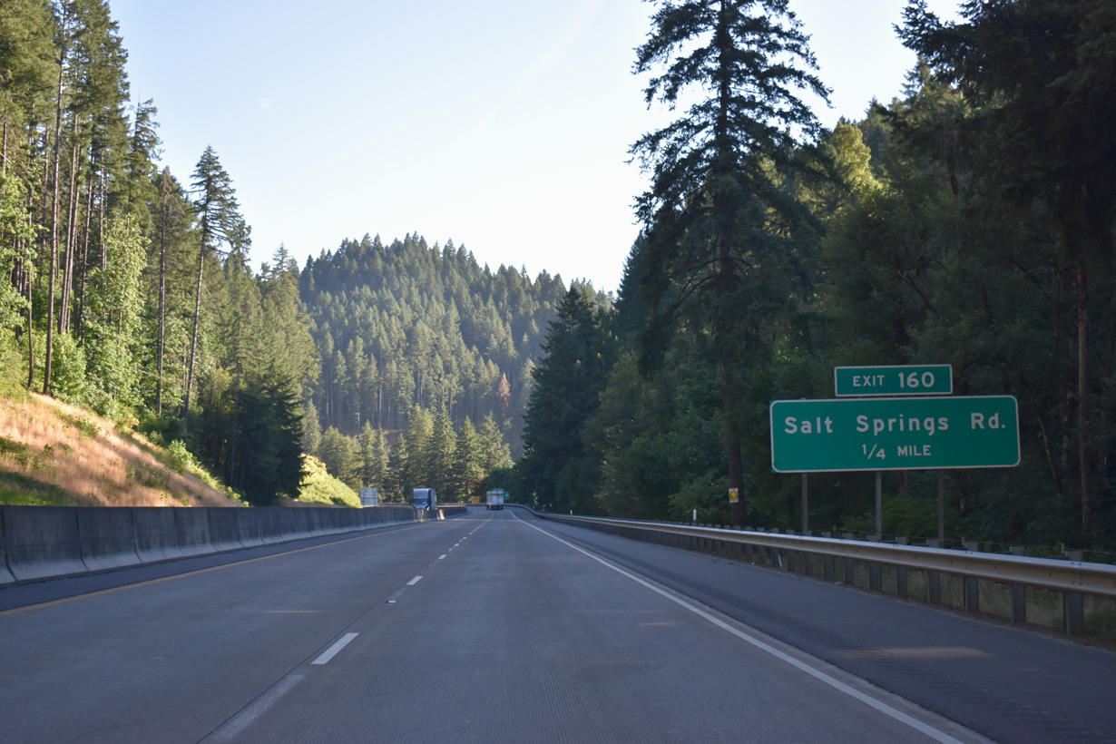
Interstate 5 continues through a narrow valley north from Anlauf Creek to Salt Springs Road at Exit 160.
07/16/23
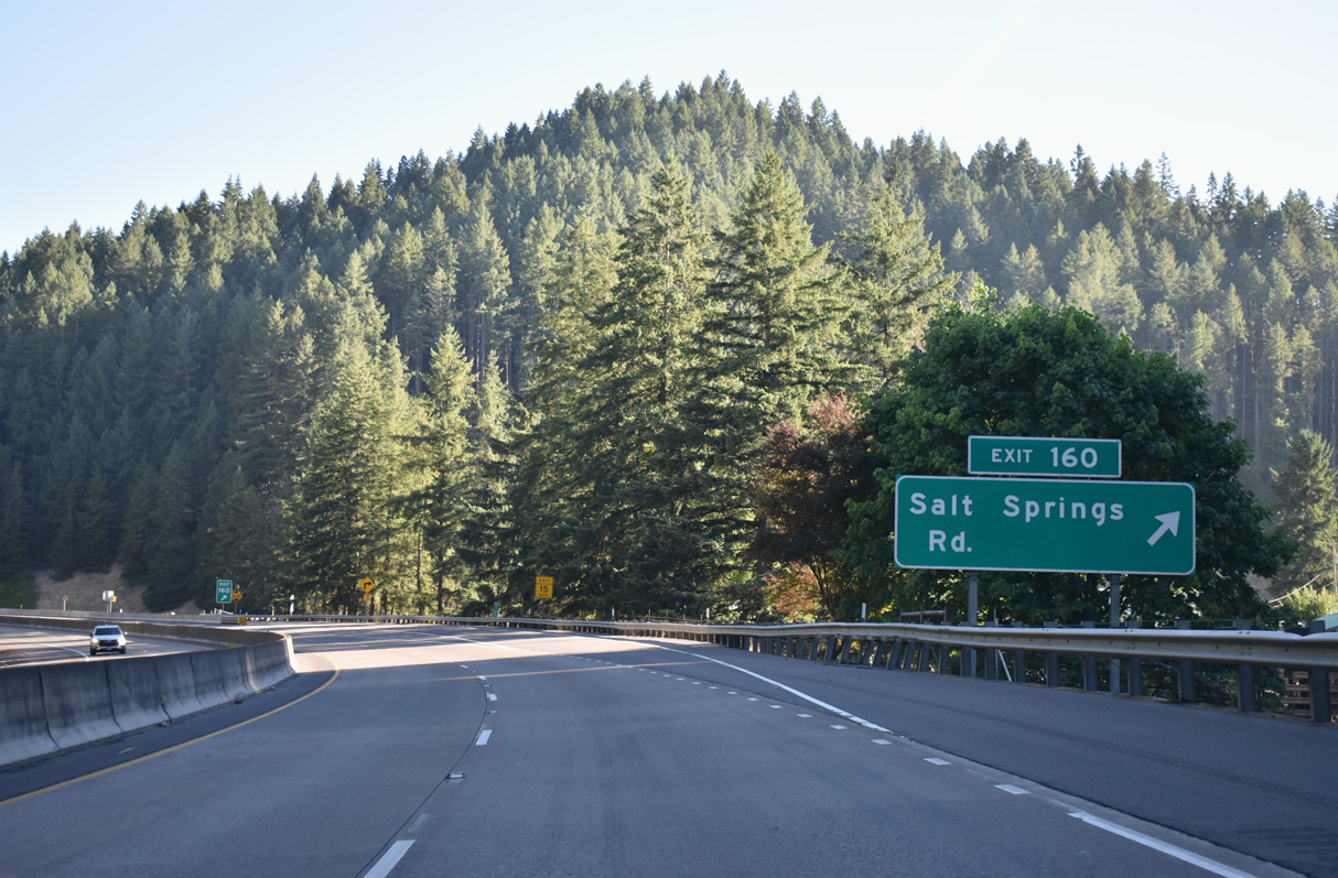
Salt Springs Road spurs east from the RIRO ramps at Exit 160 into an isolated area along Thief Creek.
07/16/23
Reassurance marker posted north of Salt Springs Road.
07/16/23
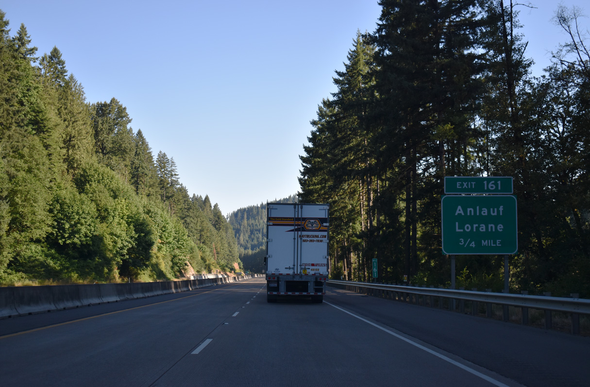
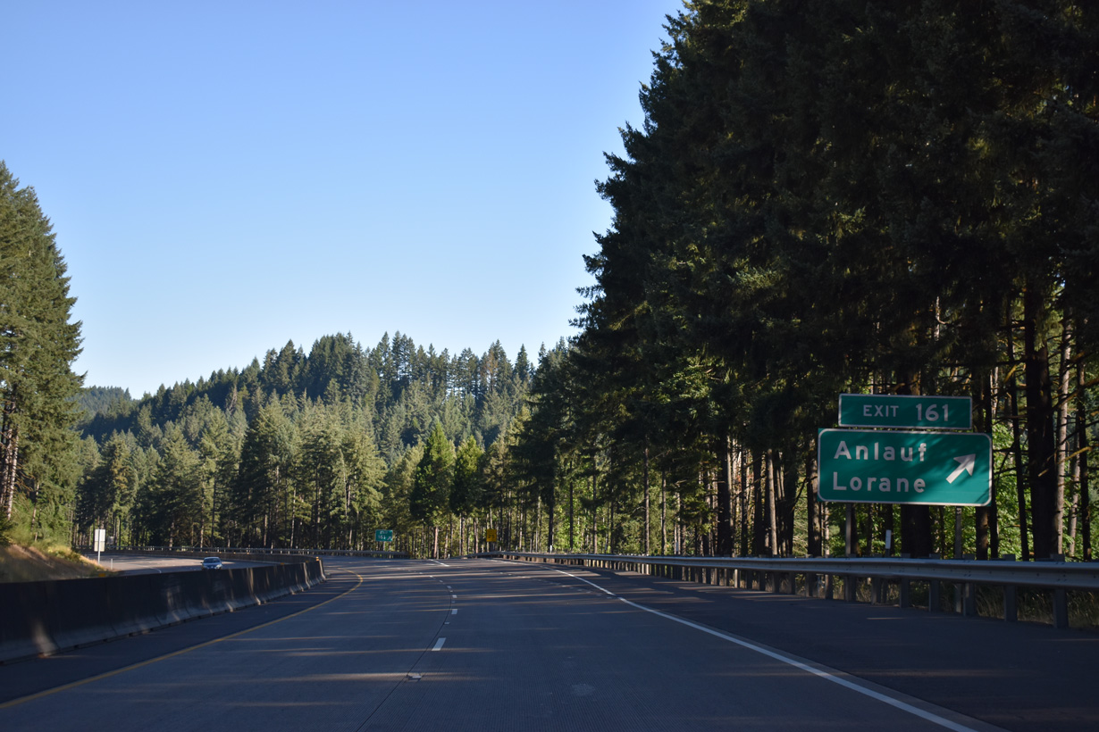
The lone ramp at Exit 161 links northbound I-5 with Buck Creek Road (CR 61) east of a grade separation with OR 38/99 (Umpqua Highway) and the unincorporated community of Anlauf.
07/16/23
Buck Creek Road west ties into Curtin Road (Old U.S. 99 / CR 212) at Anlauf, 0.4 miles south of Territorial Highway (CR 116). Territorial Highway travels across the adjacent hills north nine miles to the community of Lorane.
07/16/23
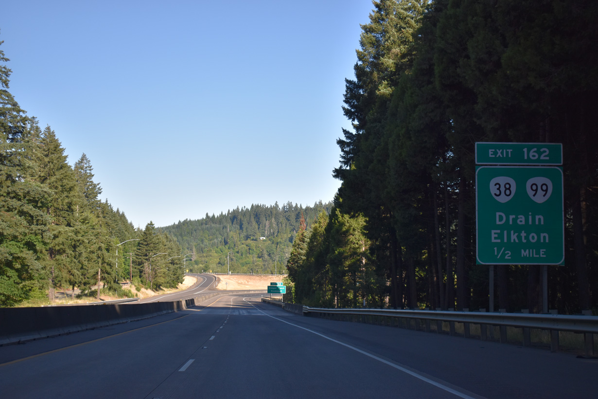
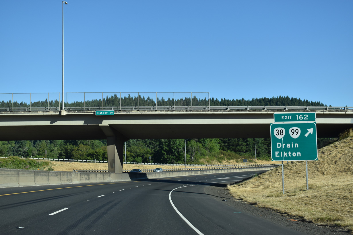
OR 99 (Umpqua Highway) returns to Interstate 5 northbound at a trumpet interchange (Exit 162) by Anlauf. OR 38/99 intersect Curtin Road (Old U.S. 99) 0.75 miles west from Exit 162.
07/16/23
OR 38 travels west from Drain 14 miles to Elkton, 34 miles to Scottsburg and 50 miles to Reedsport.
07/16/23
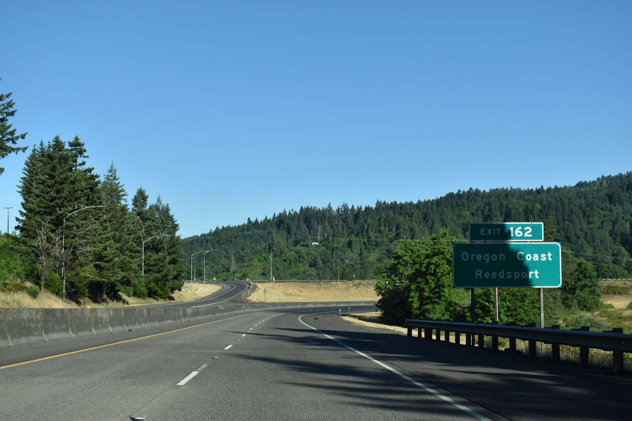
Exit 162 loops onto OR 99 (Umpqua Highway) southbound from Interstate 5 north. OR 38/99 parallel the Southern Pacific Railroad and Pass Creek 7.20 miles southwest to Cedar Street in Drain.
07/16/23
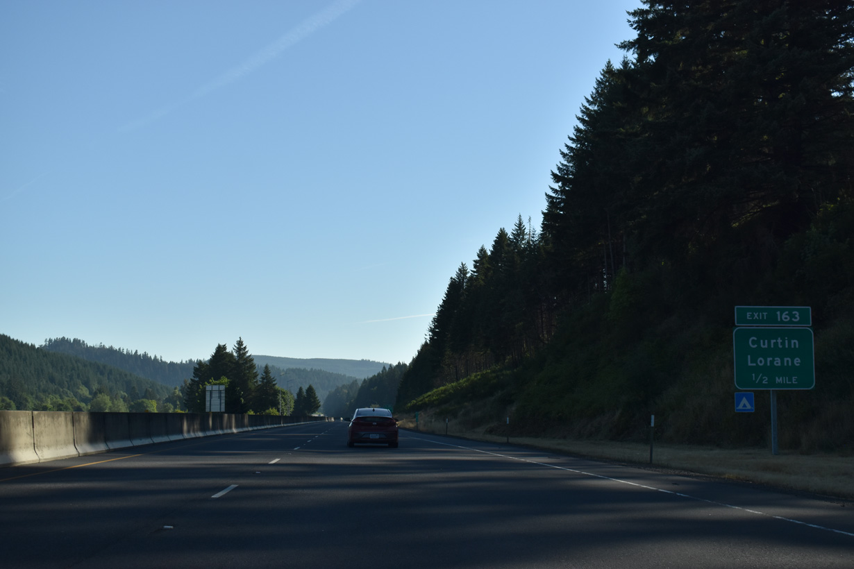
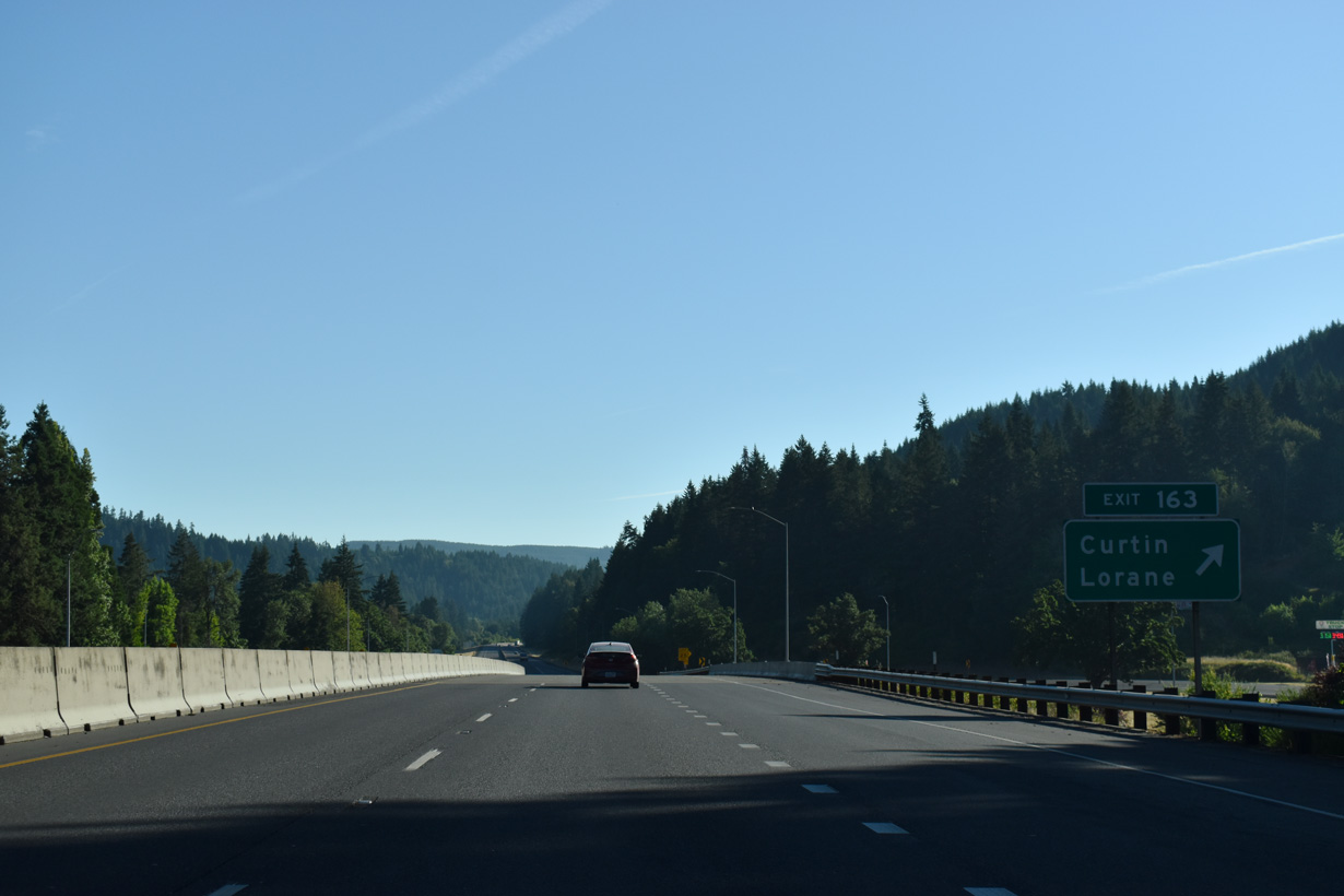
Curtin Road (Old U.S. 99) heads northeast from Territorial Highway (CR 116) to the unincorporated community of Curtin. Bear Creek Road stems east from Curtin to Pass Creek Park and the parclo interchange at Exit 163.
07/16/23
Curtin began as the site of a sawmill in the early 1890s operated by Daniel Curtin. In 1908, Curtin attained a post office. Bear Creek Road parallels Bear Creek east into the nearby mountains. Curtin Road (Old U.S. 99) spurs north alongside the Southern Pacific Railroad and Interstate 5 to Comstock.
07/16/23
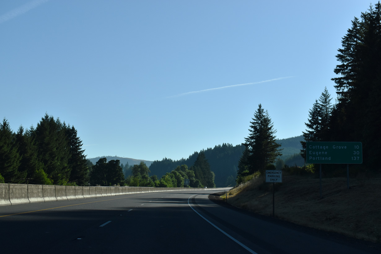
The Cottage Grove city centers lies 9.1 miles northeast of this distance sign via Interstate 5 and OR 99
07/16/23
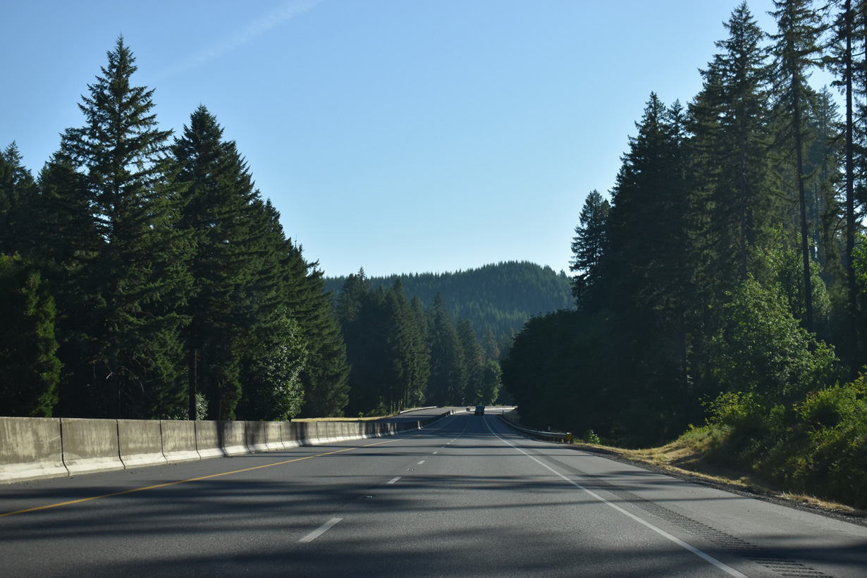
Interstate 5 turns east around Wards Butte between the Southern Pacific Railroad line and Pass Creek.
07/16/23
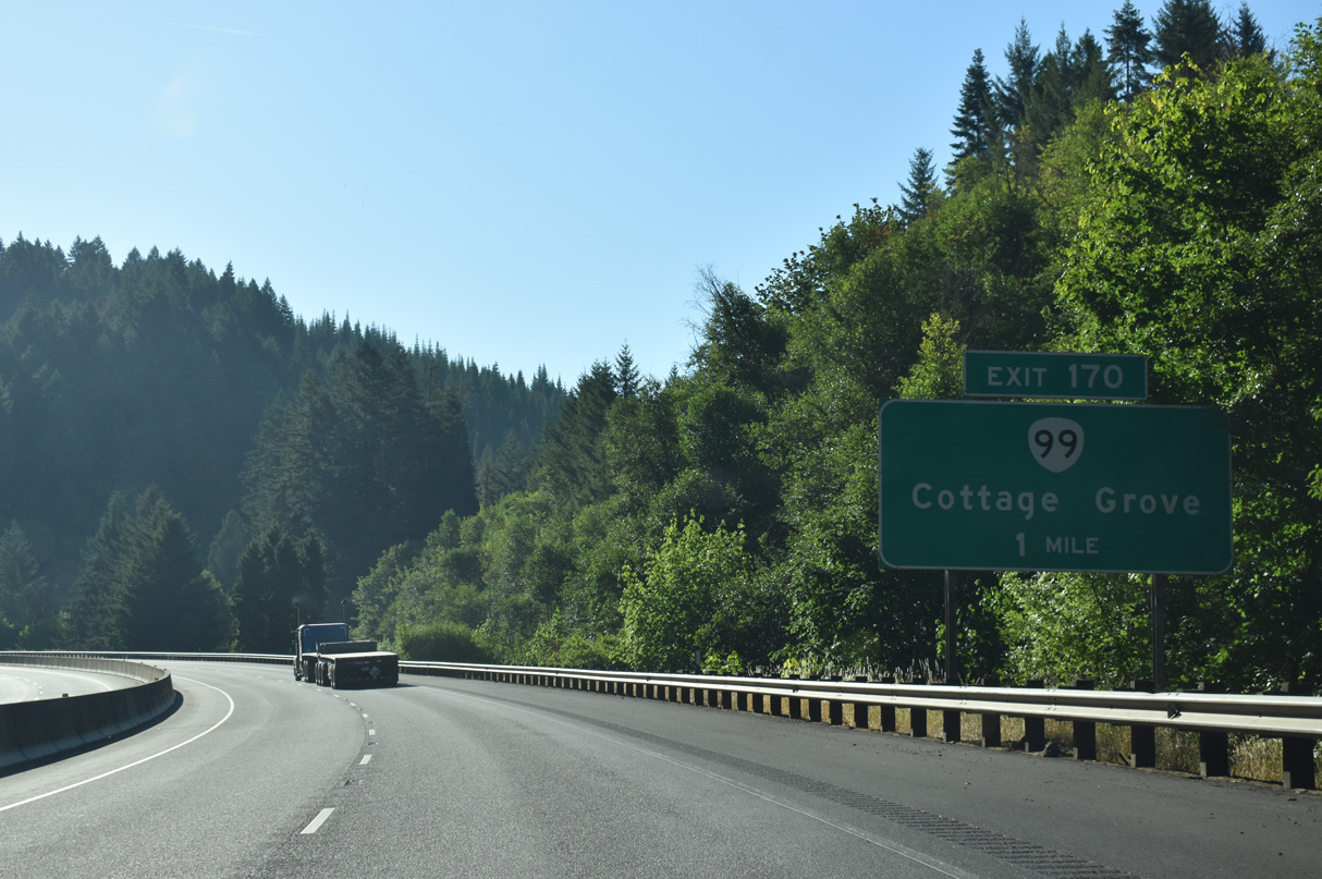
OR 99 separates from Interstate 5 northeast to the city of Cottage Grove from Exit 17. The state route follows the Southern Pacific Railroad for 4.8 miles into Downtown Cottage Grove.
07/16/23
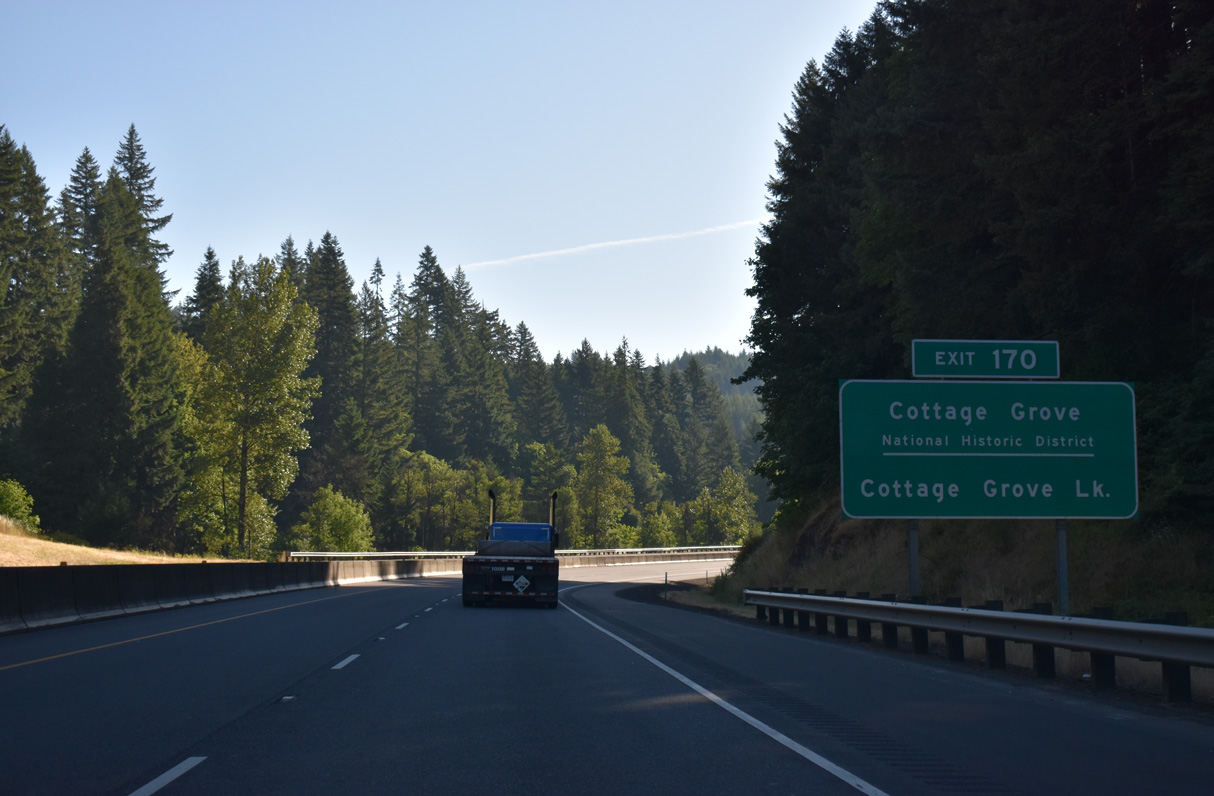
Cottage Grove Lake is 4.5 miles to the south of OR 99 via London Road.
07/16/23
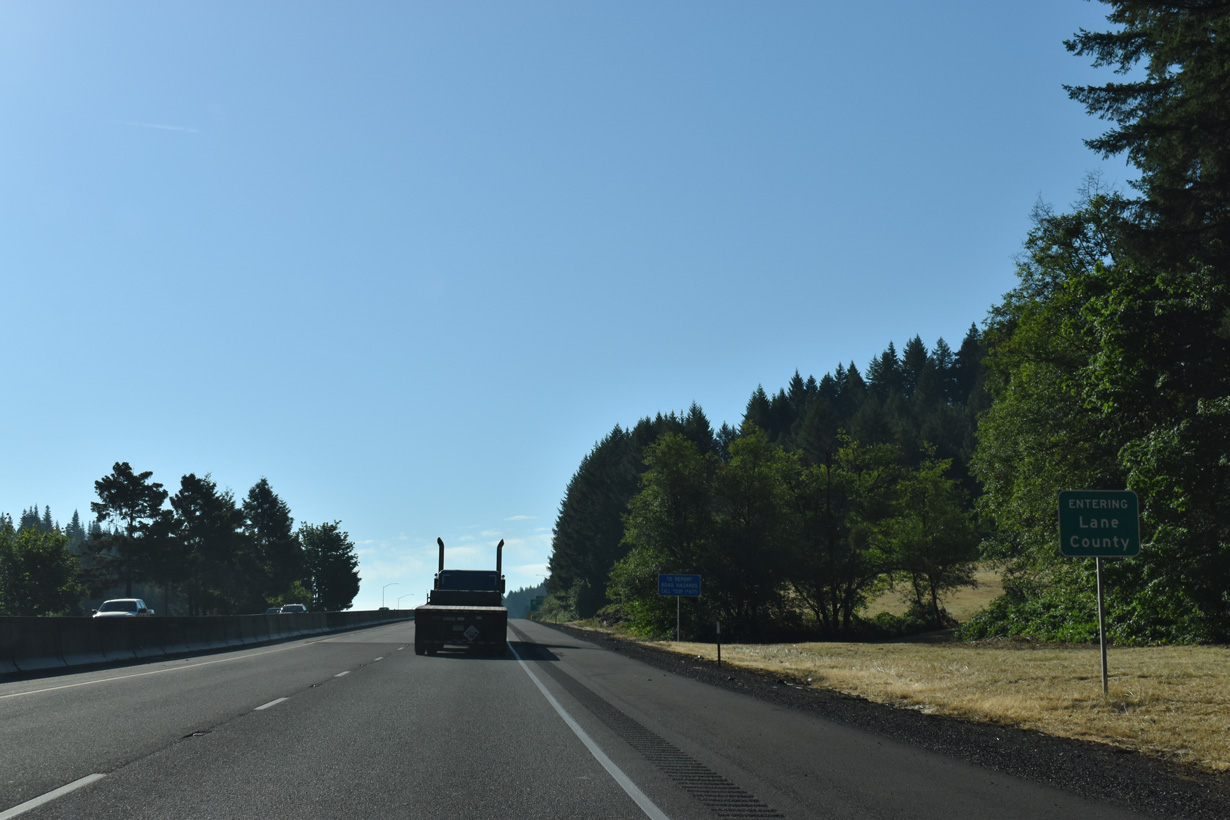
I-5/OR 99 enter Lane County by mile marker 168.
07/16/23
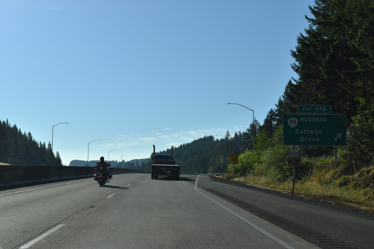
The guide sign at the wye interchange (Exit 170) where OR 99 departs from Interstate 5 erroneously references the state highway as a business route.
07/16/23
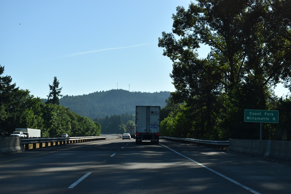
The Coast Fork of the Willamette River supplies water to Cottage Grove Lake. The river flows north through the city of Cottage Grove to Delight Valley.
07/16/23
A half diamond interchange (Exit 172 from I-5 south) joins S 6th Street at Latham with Interstate 5 northbound ahead of this reassurance shield.
07/16/23
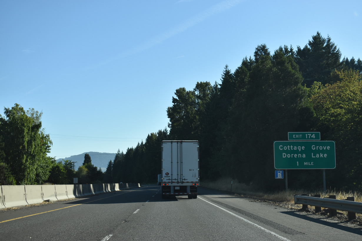
Interstate 5 enters the city of Cottage Grove and next meets the Cottage Grove Connector west and Row River Road south at Exit 174,
07/16/23
Dorena Lake is east of Cottage Grove along the Row River and Row River Road. The Cottage Grove Connector is a limited access road joining Exit 174 with OR 99 (Pacific Highway), 0.64 miles to the west.
07/16/23


Photo Credits:
- Brent Ivy: 07/16/23
Connect with:
Page Updated Tuesday August 19, 2025.