
Interstate 5 North - Dunsmuir to Weed
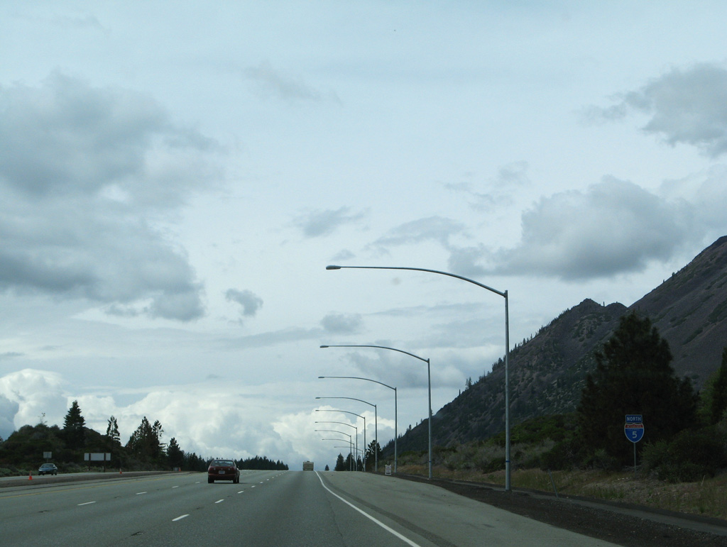
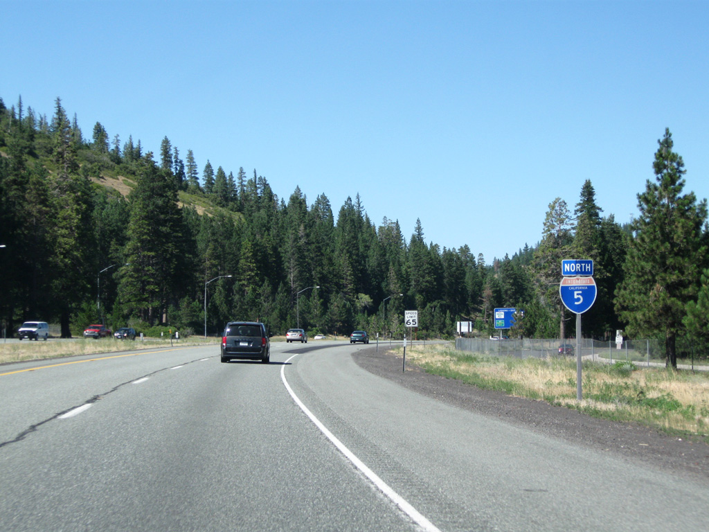
Interstate 5 between the Shasta-Siskiyou County line and Weed were built at various intervals during the 1960s and 1970s. The segment around the city of Mount Shasta was constructed in 1964 with the remainder of the freeway north to Weed built by 1973.
 North
North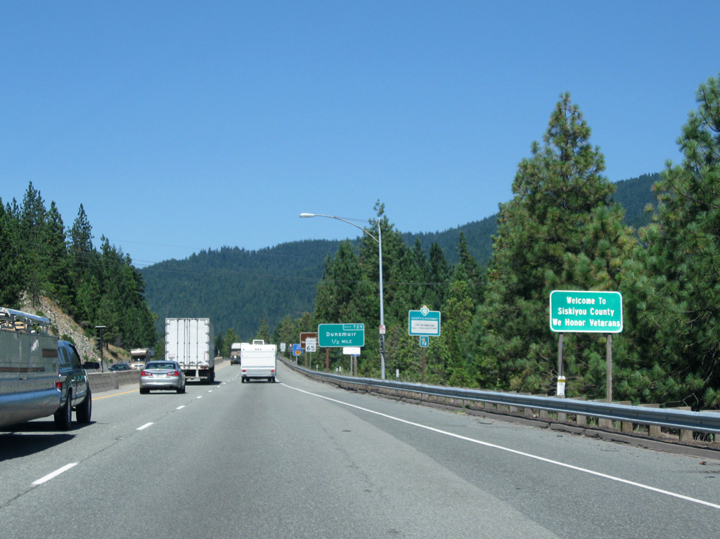
The ensuing stretch of I-5 north to the Sacramento River crossing was built in 1960.
08/02/11
08/02/11
08/02/11
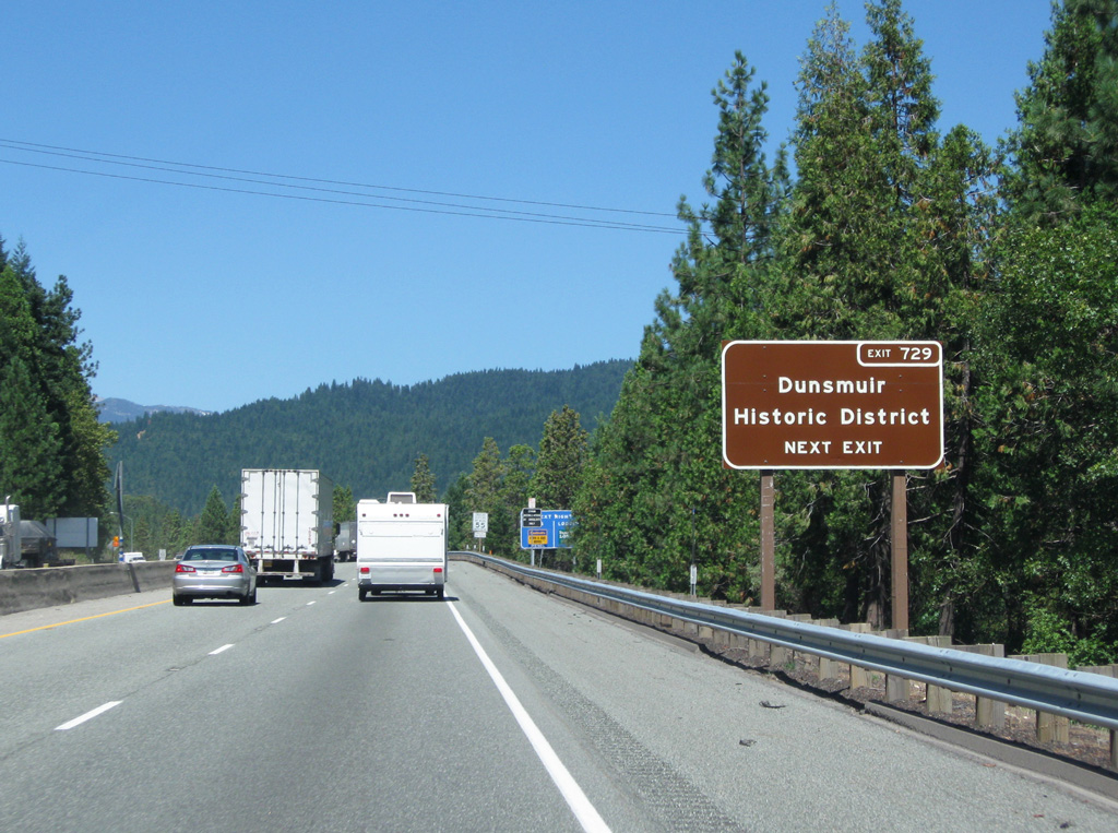
Originally named Cedar Flat, Dunsmuir received its name in 1887 when Alexander Dunsmuir (a royal Canadian) donated a fountain in exchange for renaming the town in his honor. The fountain is located within the City Park.
08/02/11
08/02/11
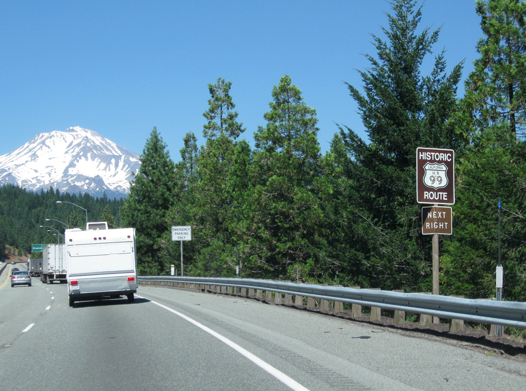
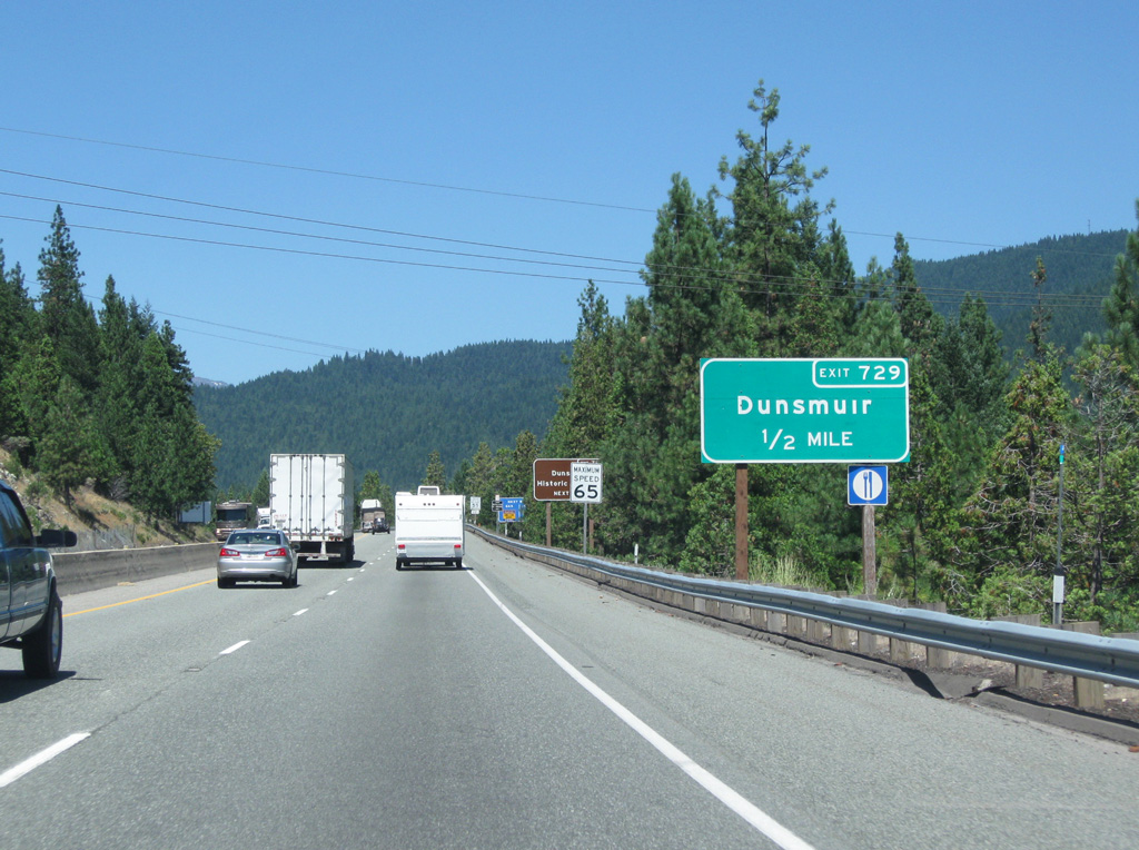
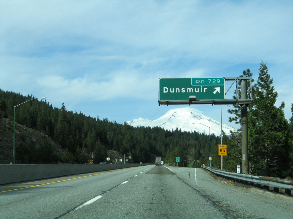
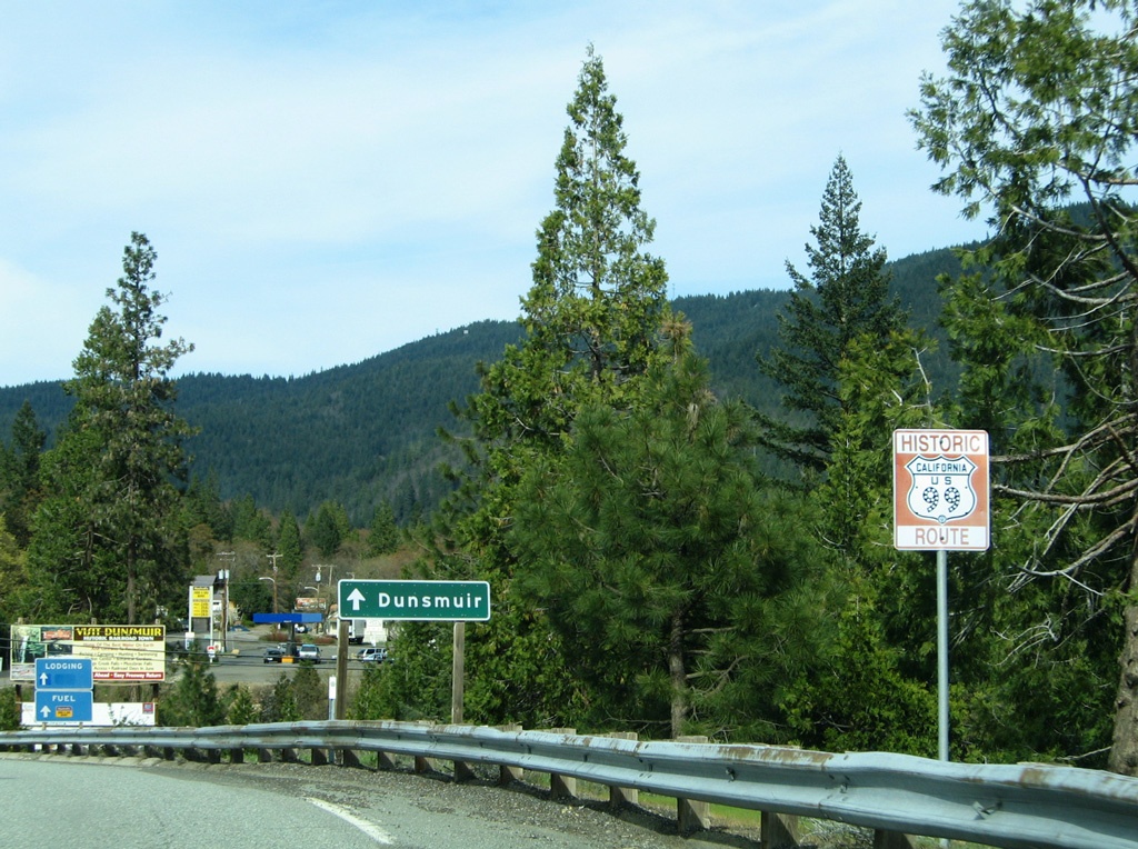
The historic routing of U.S. 99 followed Dunsmuir Avenue through the city center between Exits 729 and 732. Dunsmuir Avenue also doubles as Business Loop I-5.
08/02/11
08/02/11
03/31/05
03/31/05
03/31/05
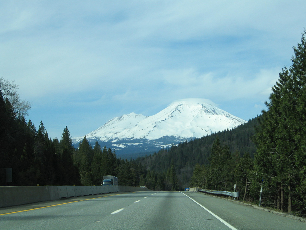
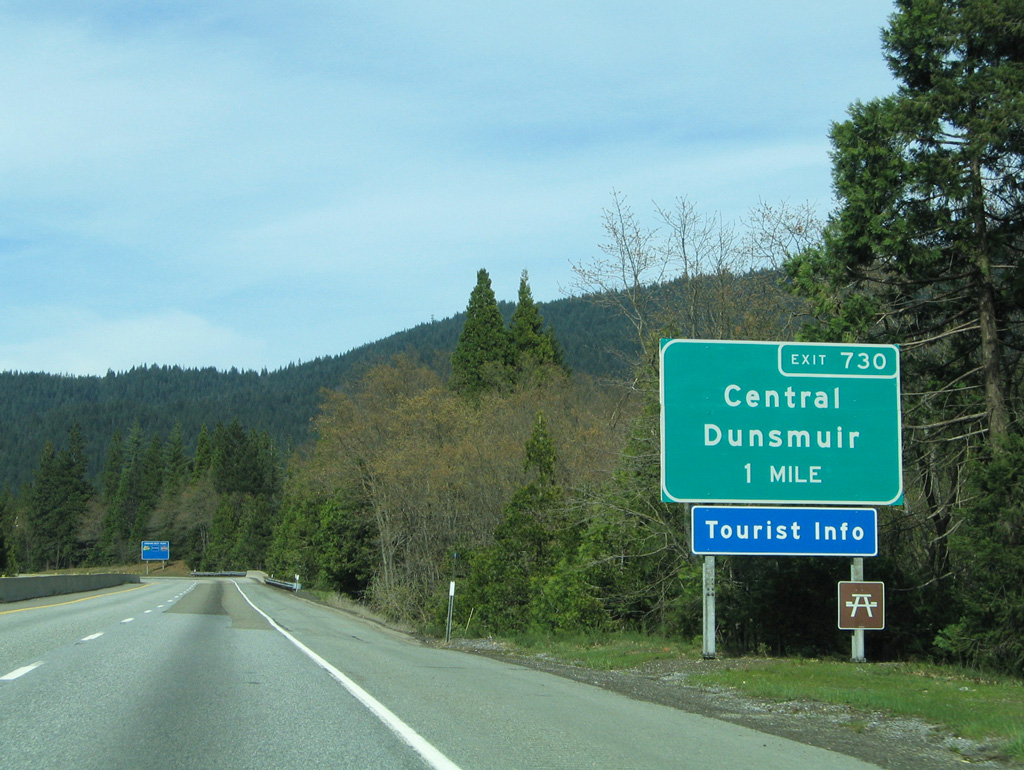
I-5 enters the city limits of Dunsmuir ahead of the return of Dunsmuir Avenue (Exit 730) from downtown.
03/31/05
03/31/05
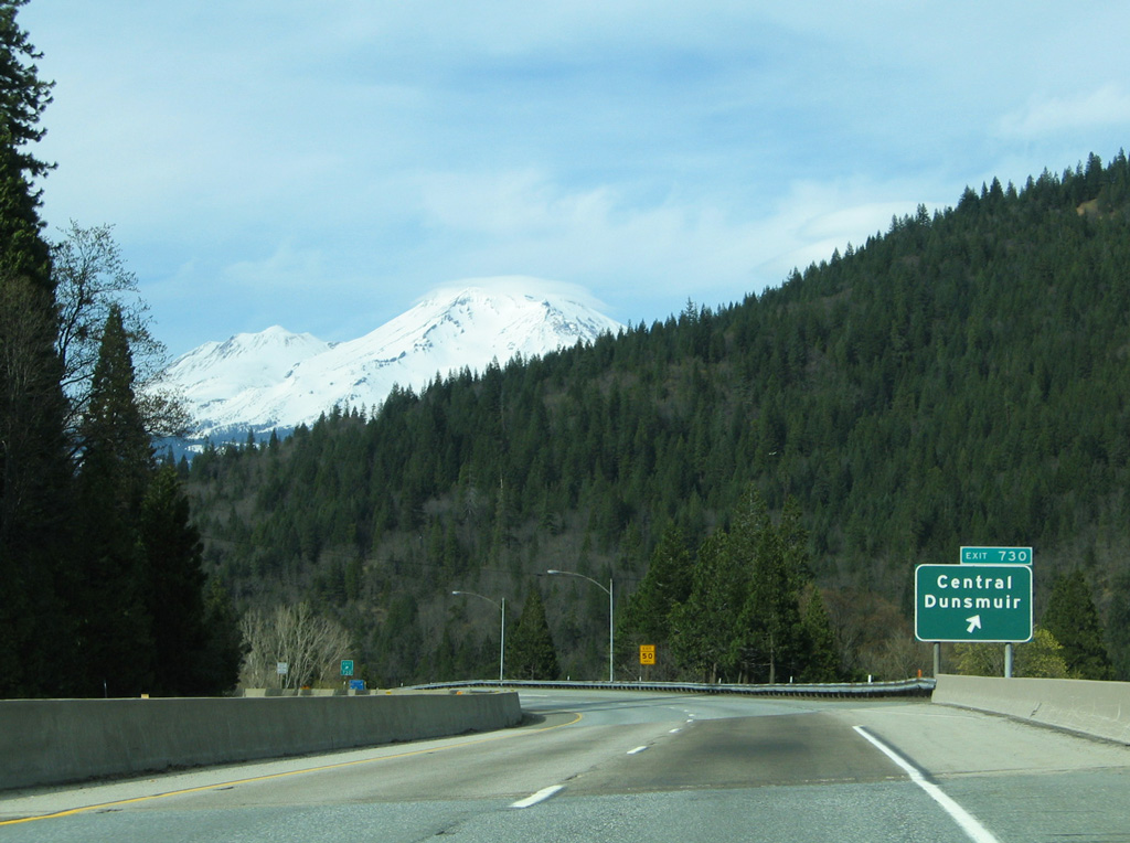
Incorporated in 1909, Dunsmuir sits at 2,347 feet in elevation in the Sacramento River valley.
03/31/05
03/31/05
03/31/05
08/02/11
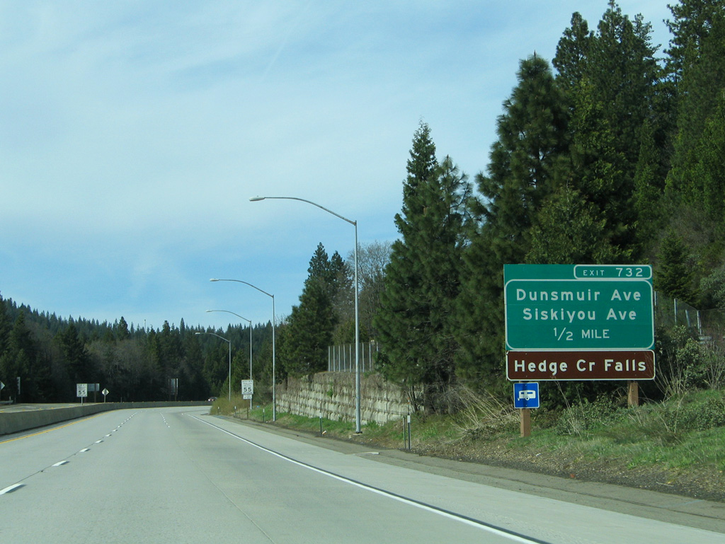
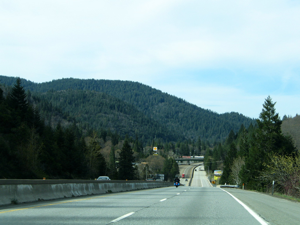
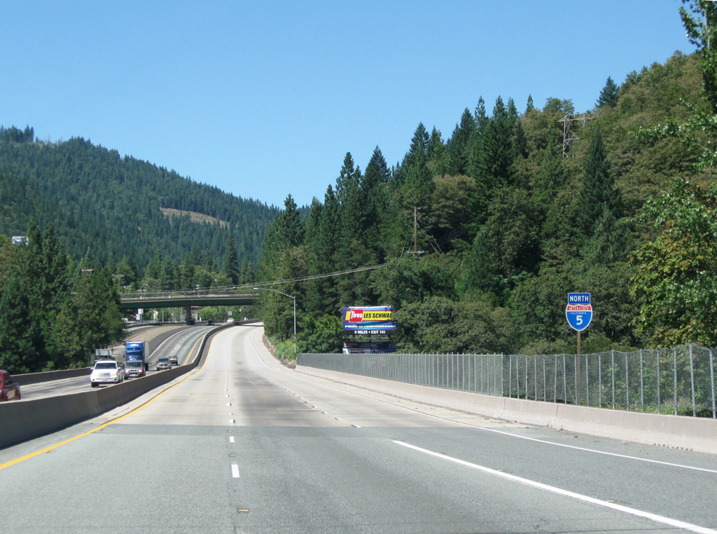
The Dunsmuir business route returns to Interstate 5 in one half mile along Siskiyou Avenue.
03/31/05
03/31/05
08/02/11
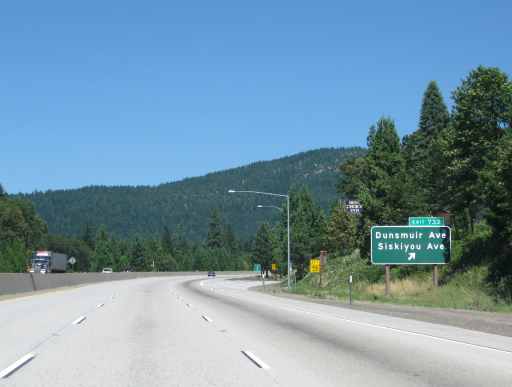
Hedge Creek Falls is located just north of the diamond interchange at Exit 732.
08/02/11
08/02/11
08/02/11
08/02/11
08/02/11
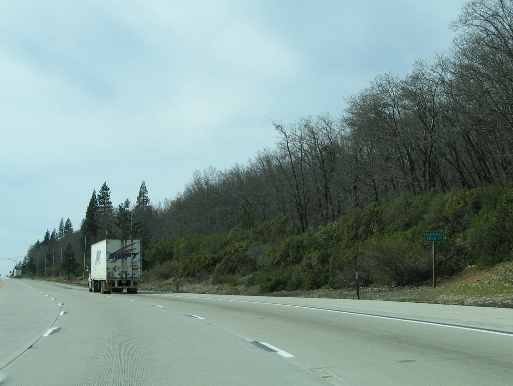
The ensuing stretch of Interstate 5 was widened to six overall lanes by 1976.
03/31/05
03/31/05
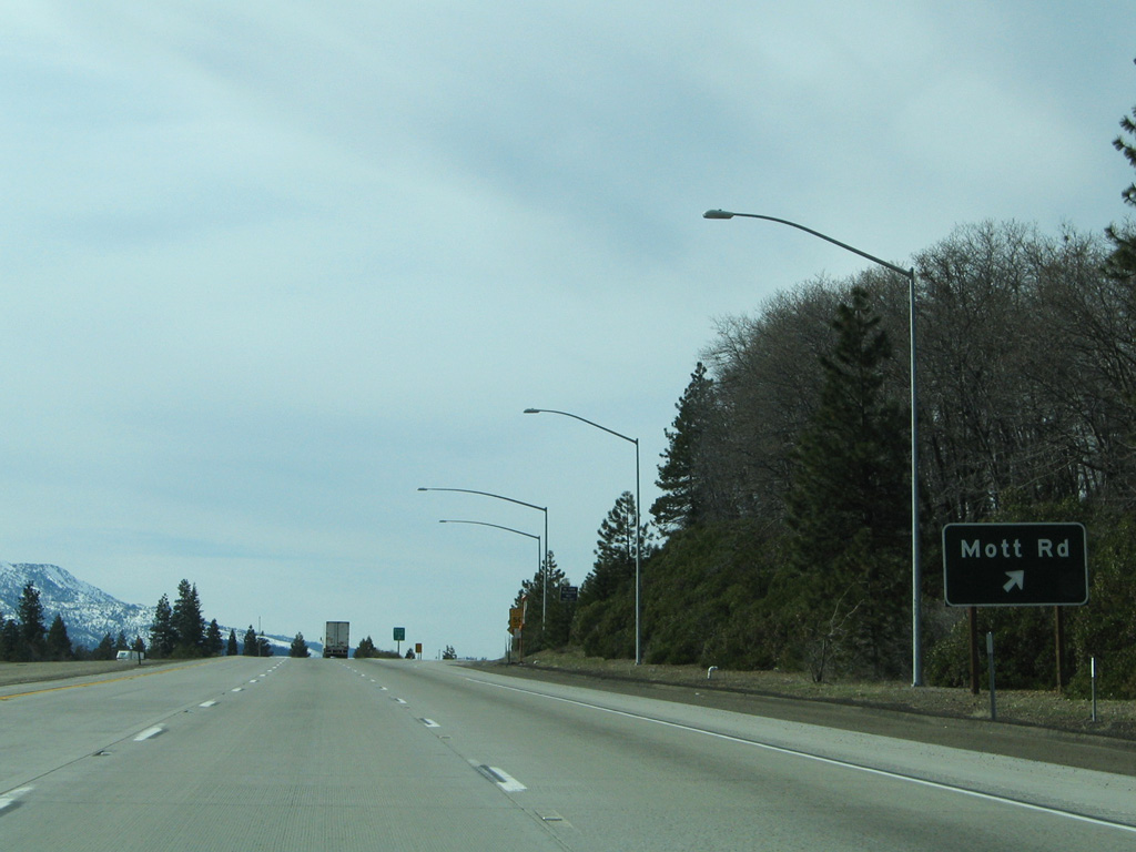
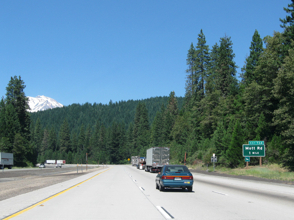
Mott Road (Exit 734) joins I-5 with Dunsmuir Municipal-Mott Airport (1O6).
03/31/05
03/31/05

08/02/11
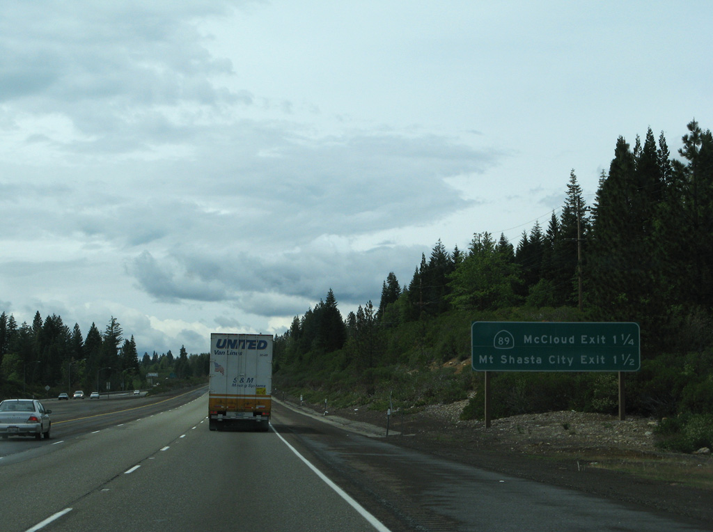
05/25/08
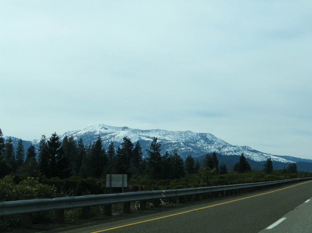
Rainbow Ridge rises to the southwest of the upcoming city of Mount Shasta.
03/31/05
03/31/05
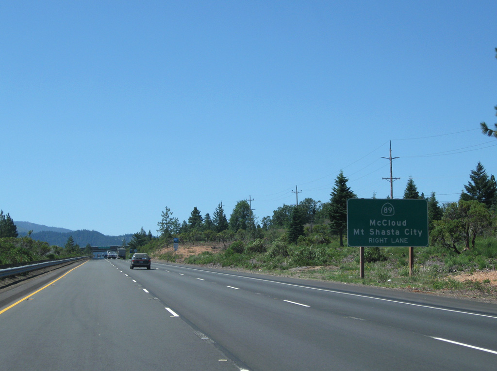
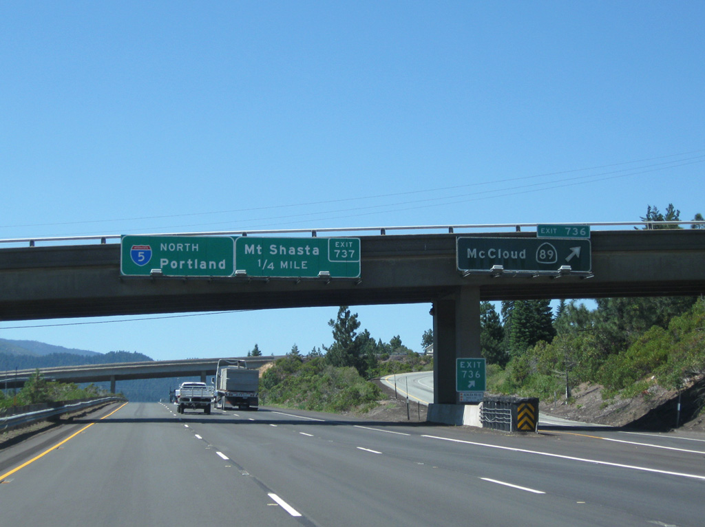
Extending nearly 243 miles through the Golden State from U.S. 395 near Topaz Lake, SR 89 initially travels east from a trumpet interchange (Exit 736) with I-5 to McCloud and Klamath National Forest.
08/02/11
08/02/11
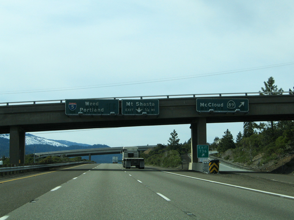
SR 89 between I-5 and Lassen Volcanic National Park doubles as part of the Volcanic Legacy Scenic Byway. These porcelain enamel signs dated back to the initial freeway segment around Mount Shasta.
03/31/05
03/31/05
08/02/11
05/25/08
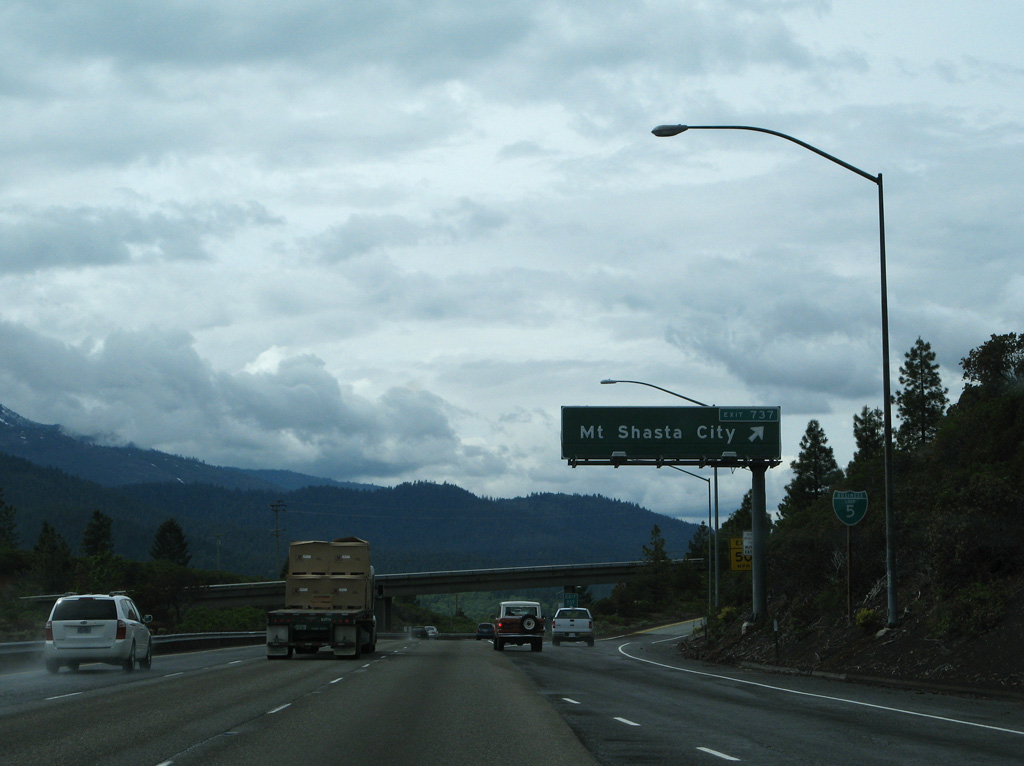
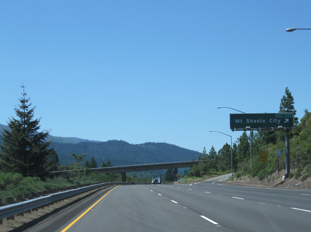
Business Loop I-5 (Mount Shasta Boulevard) branches north from a wye interchange (Exit 737) into Mount Shasta.
05/25/08
05/25/08
08/02/11
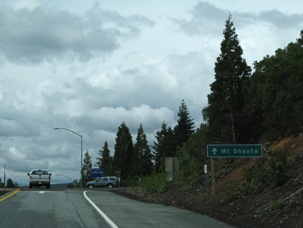
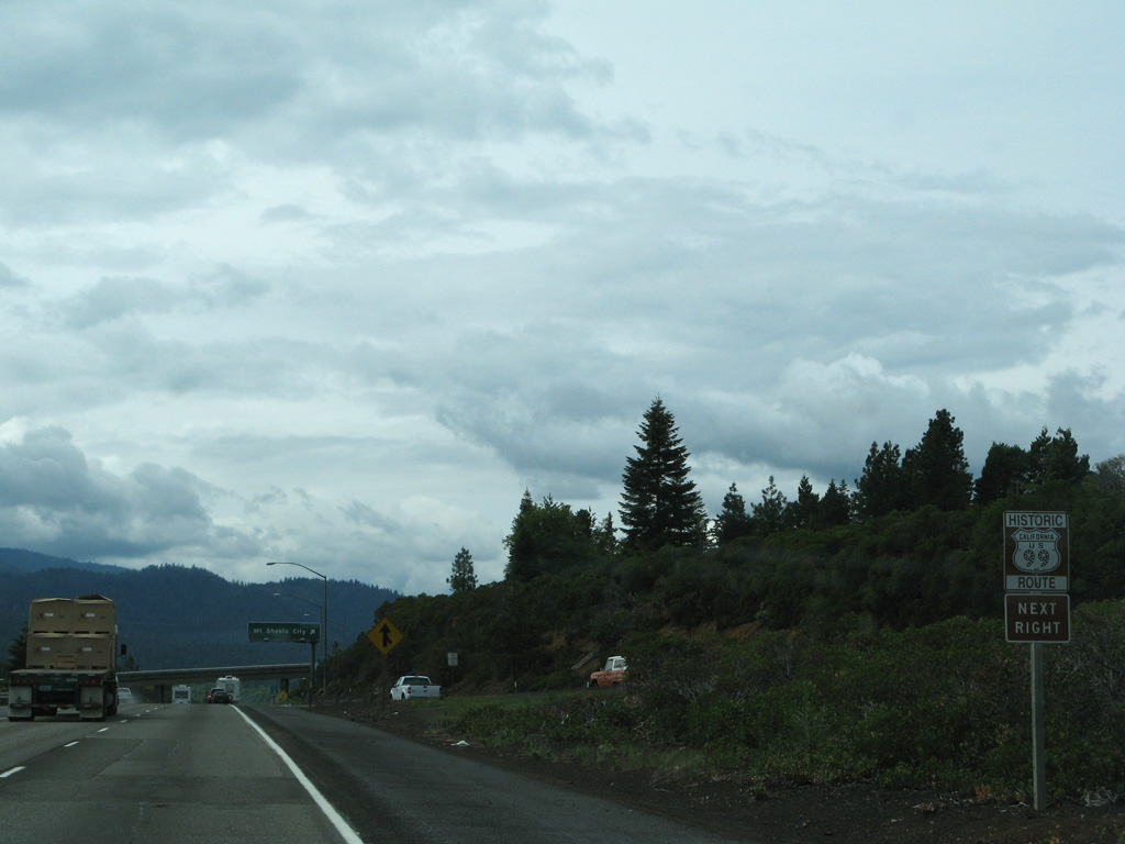
Following Historic U.S. 99, the Mount Shasta business route is 3.51 miles in length.
05/25/08
05/25/08
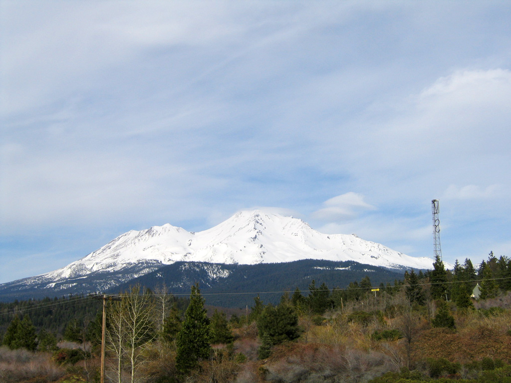
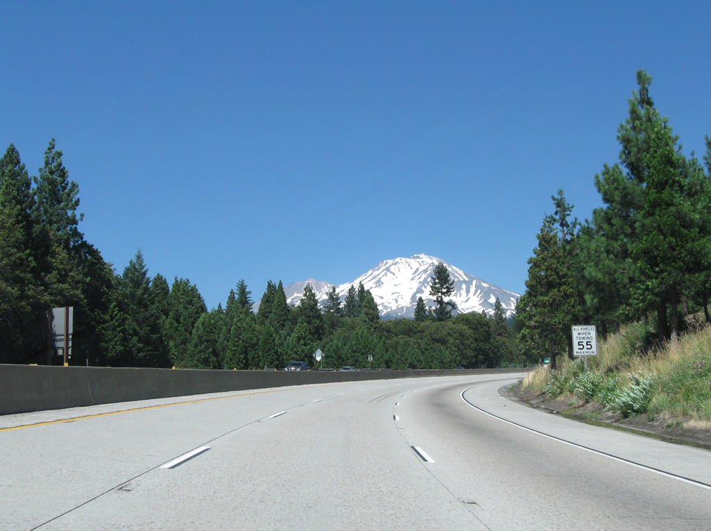
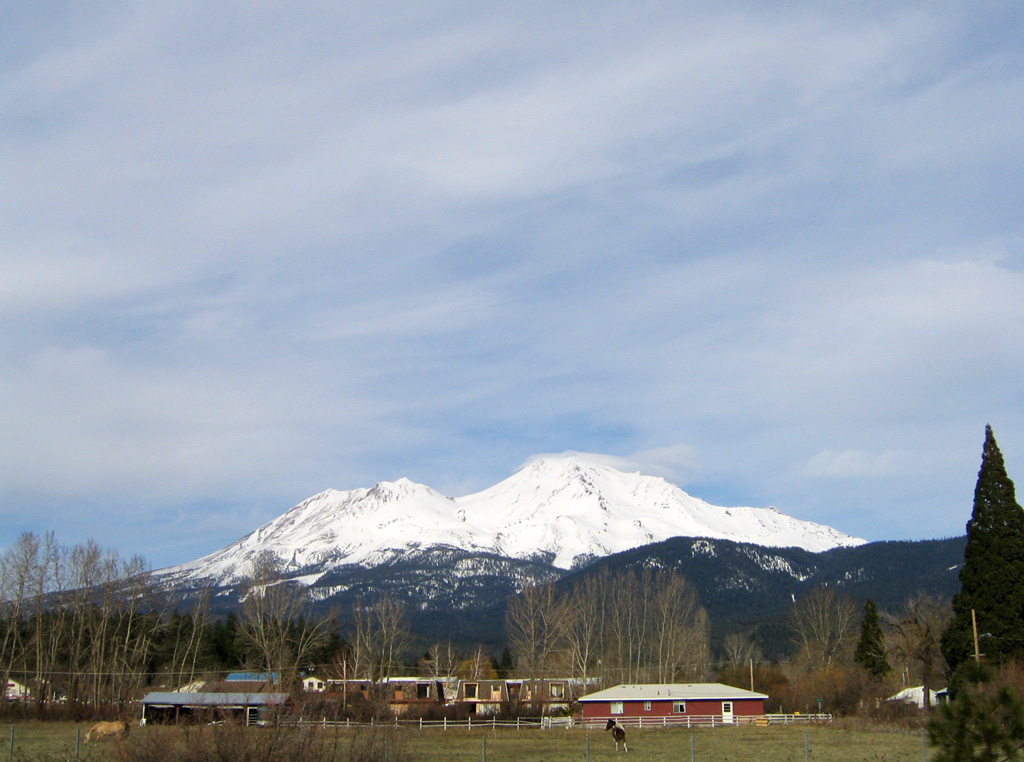
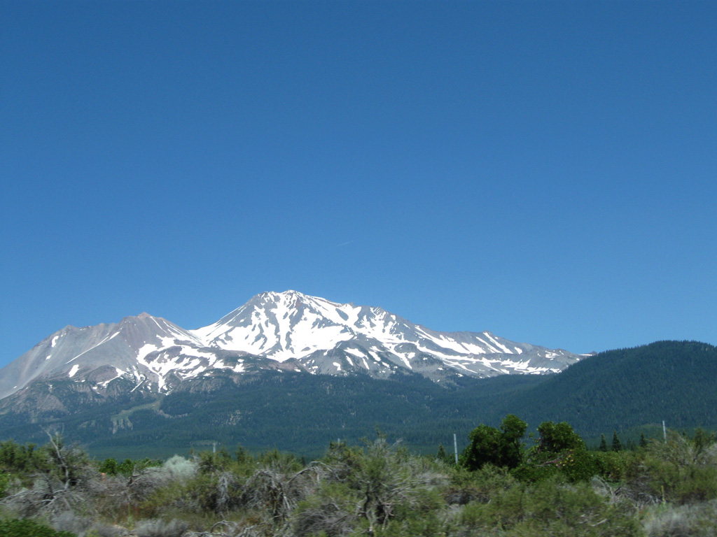
A view of Mount Shasta from northbound Interstate 5 beyond Exit 737.
03/31/05
03/31/05
08/02/11
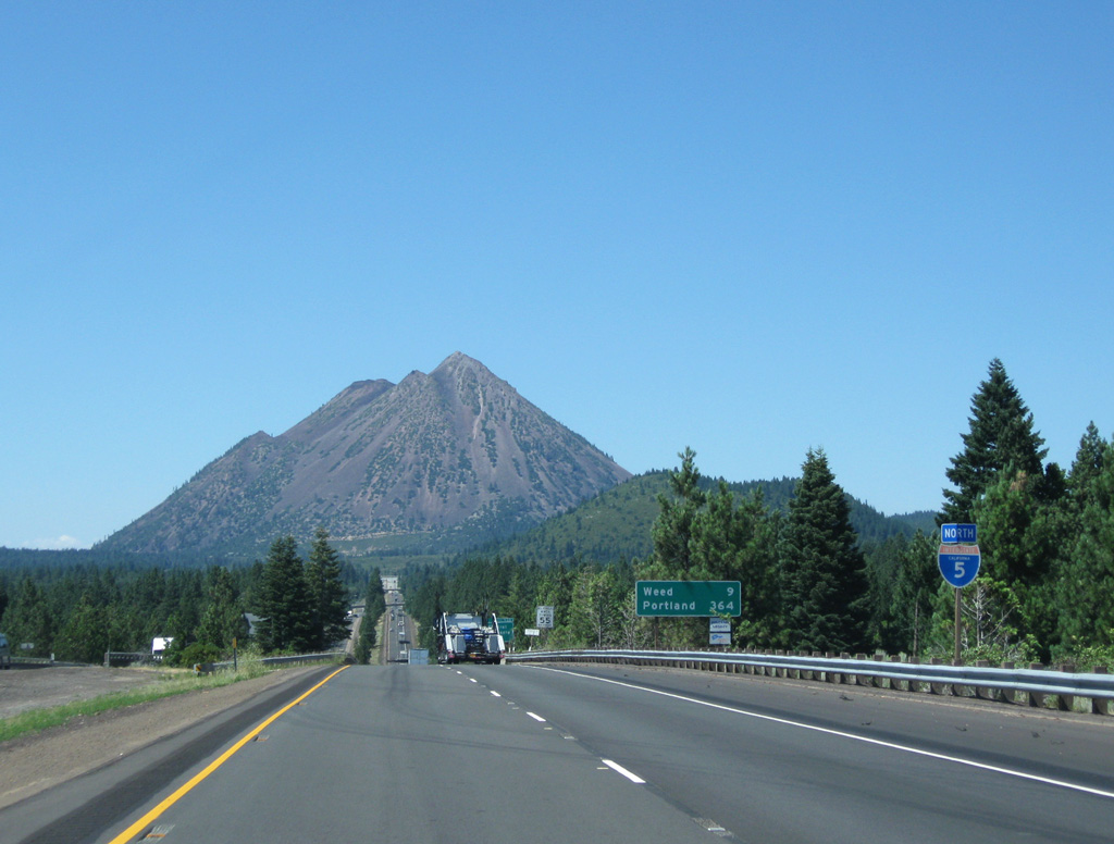
Interstate 5 lines western reaches of Mount Shasta as the freeway advances north to W Lake Street (Exit 738) next.
08/02/11
08/02/11
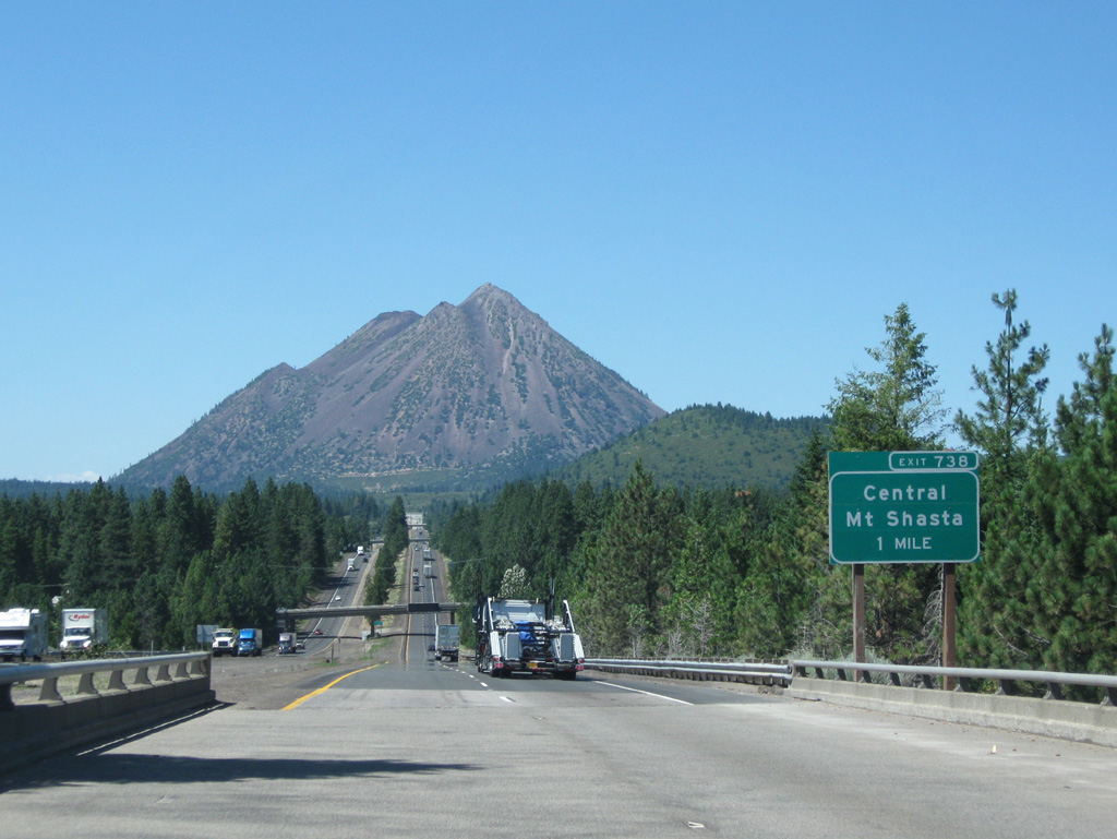
W Lake Street meets Interstate 5 at a diamond interchange (Exit 738) west of downtown Mount Shasta.
08/02/11
08/02/11
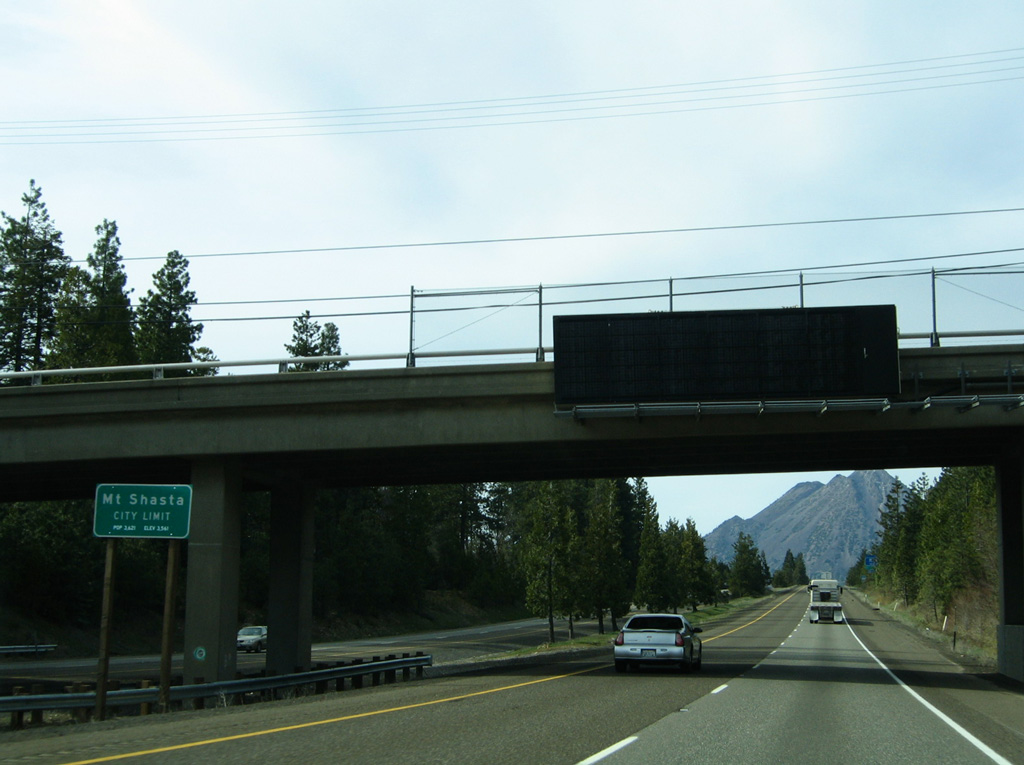
I-5 briefly enters the city of Mount Shasta at the over crossing with Ream Avenue. The city was incorporated May 31, 1905.
03/31/05
03/31/05
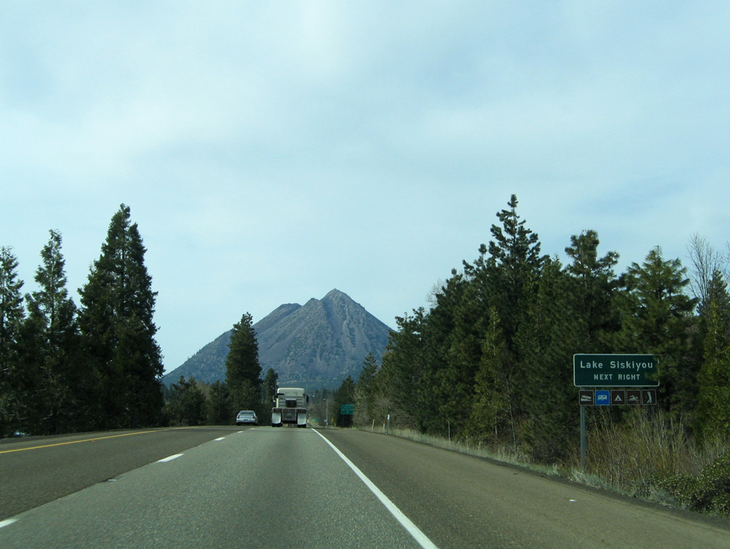
Lake Siskiyou, located south of the city of Mount Shasta, serves as part of the headwaters for the Sacramento River.
03/31/05
03/31/05
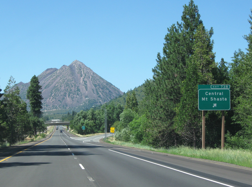
Lake Street joins I-5 with Everitt Memorial Highway, the primary road leading to the western side of Mount Shasta. The road was built in 1959 to bring skiers to the mountain.
08/02/11
08/02/11
08/02/11
03/31/05
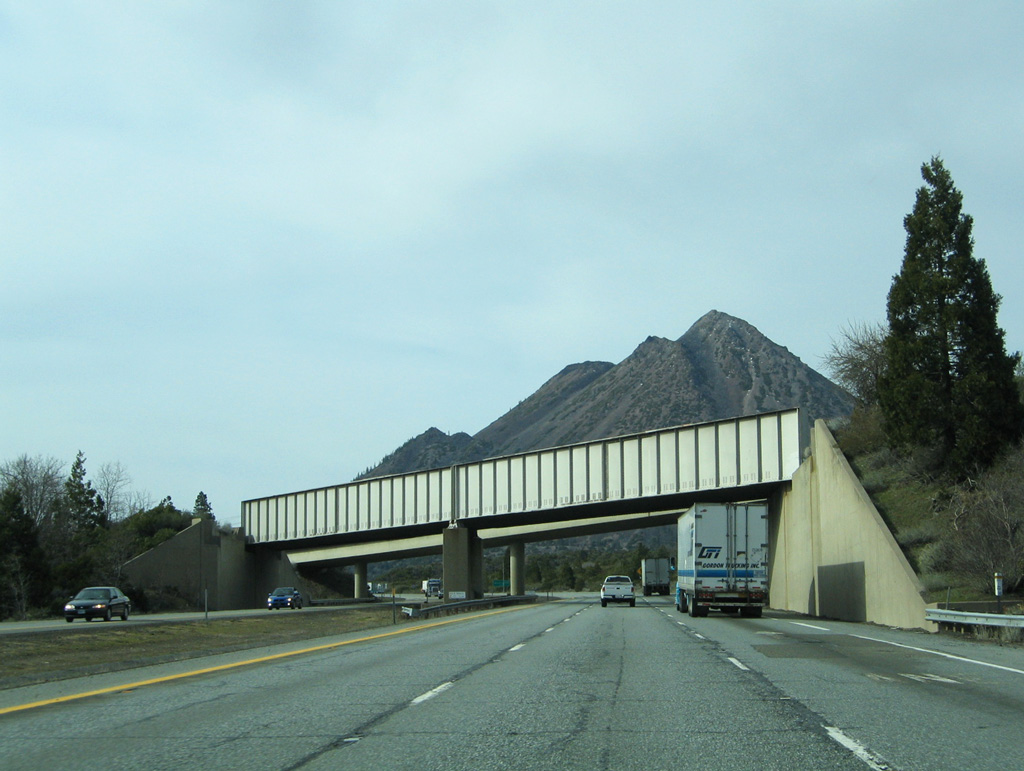
A Union Pacific railroad line precedes the return of Business Loop I-5 (Mount Shasta Boulevard) from downtown Mount Shasta.
03/31/05
03/31/05
05/25/08
05/25/08
08/02/11
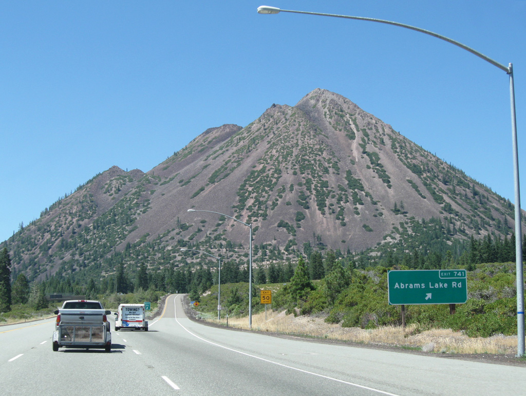
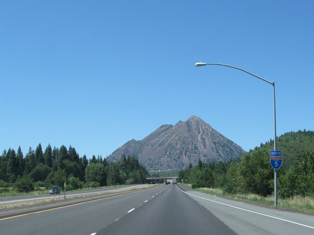
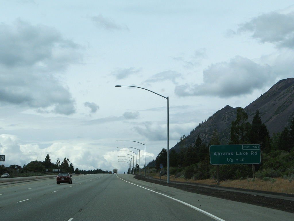
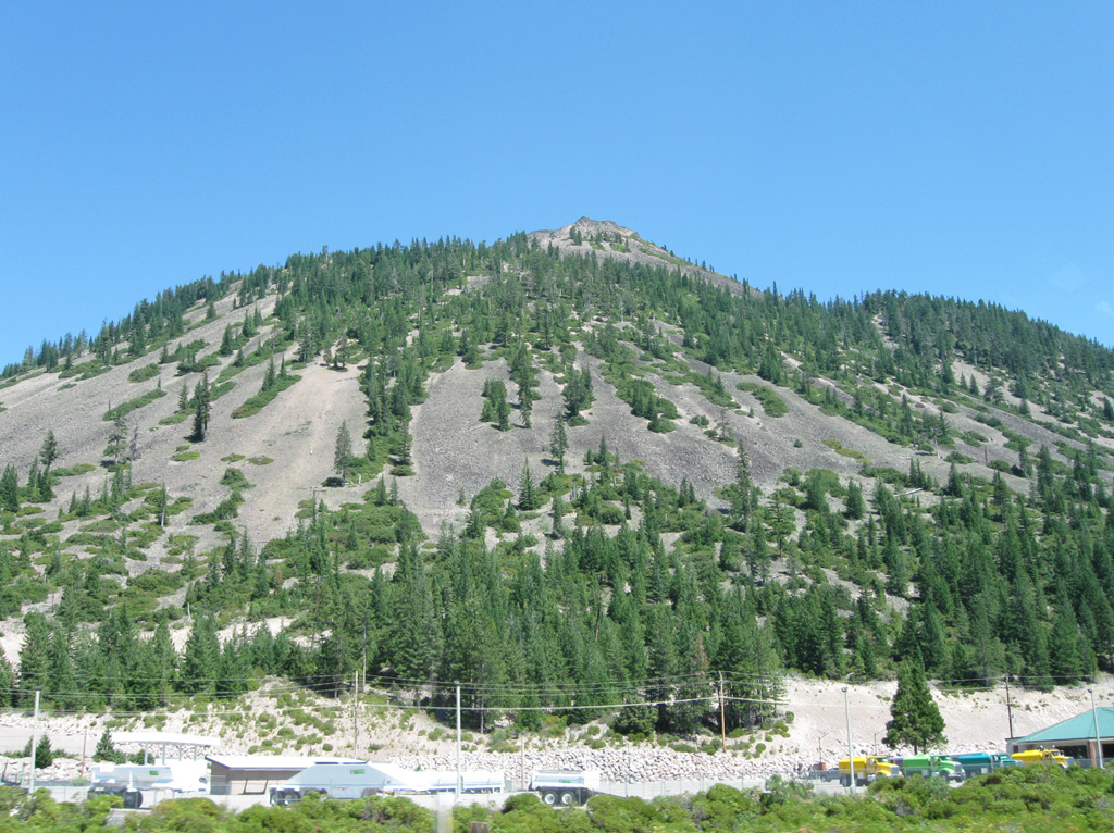
Black Butte rises 6,351 feet in elevation north of the diamond interchange (Exit 741) with Abrams Lake Road.
08/02/11
08/02/11
08/02/11
05/25/08
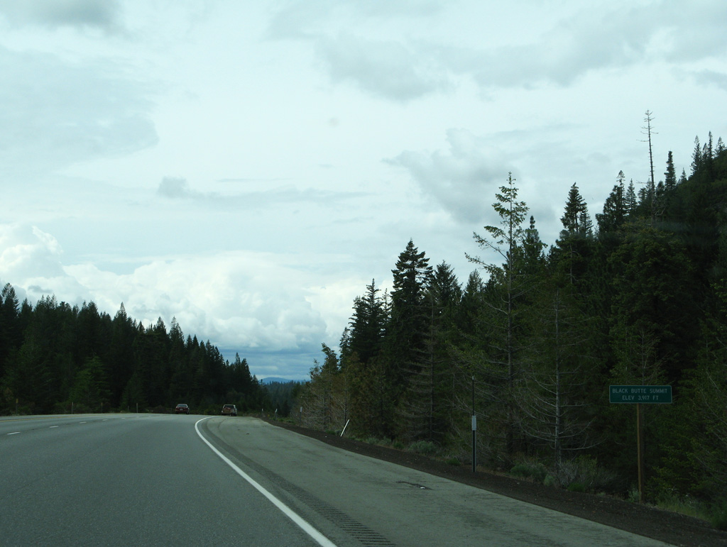
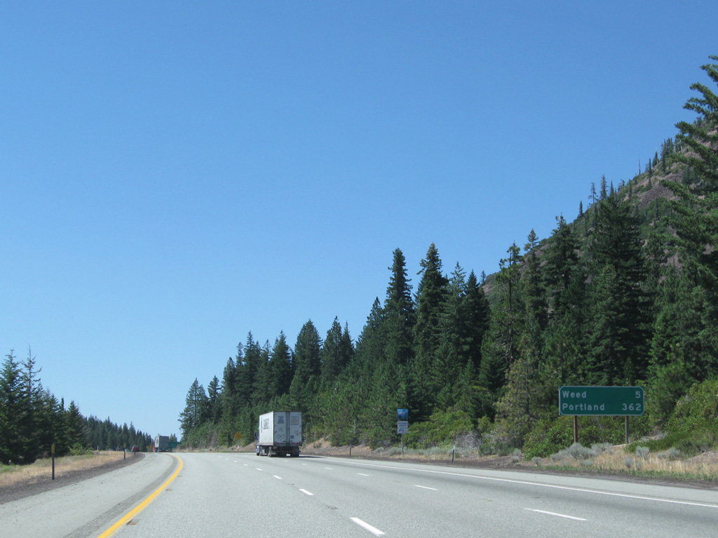
Interstate 5 crests at Black Butte Summit (elevation 3,917 feet) before descending toward Weed.
05/25/08
05/25/08
08/02/11
05/25/08
08/02/11
03/31/05
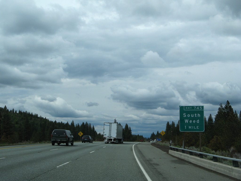
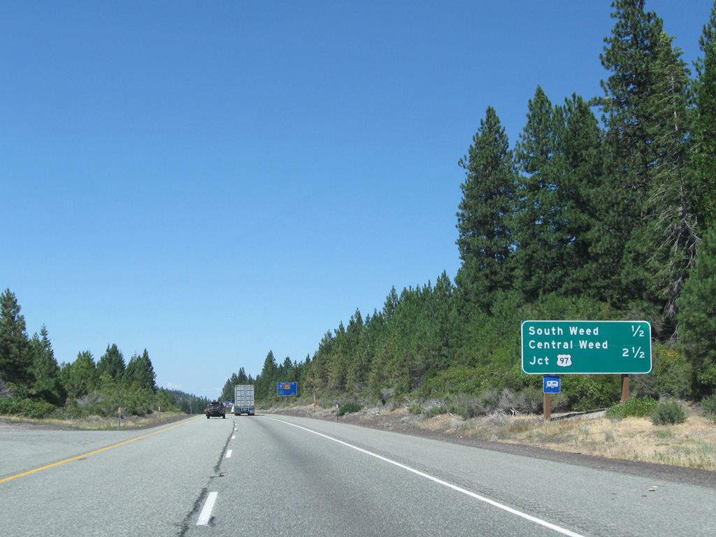
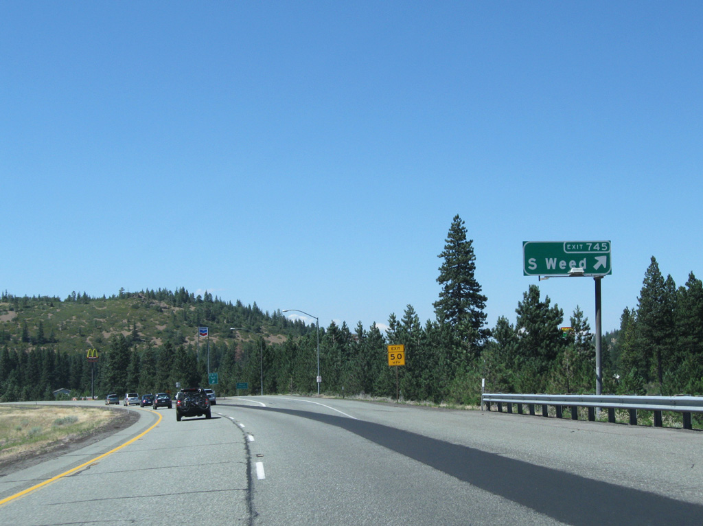
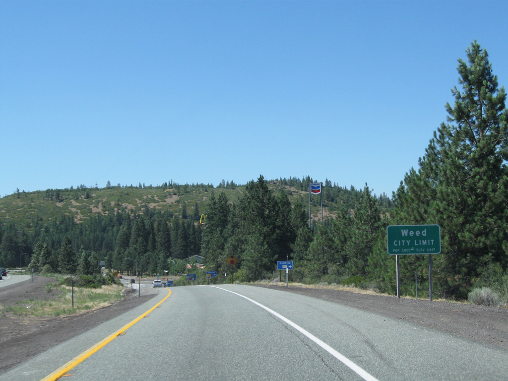
Vista Drive joins I-5 with South Weed Boulevard next.
05/25/08
05/25/08
03/31/05
08/02/11
08/02/11
08/02/11
08/02/11
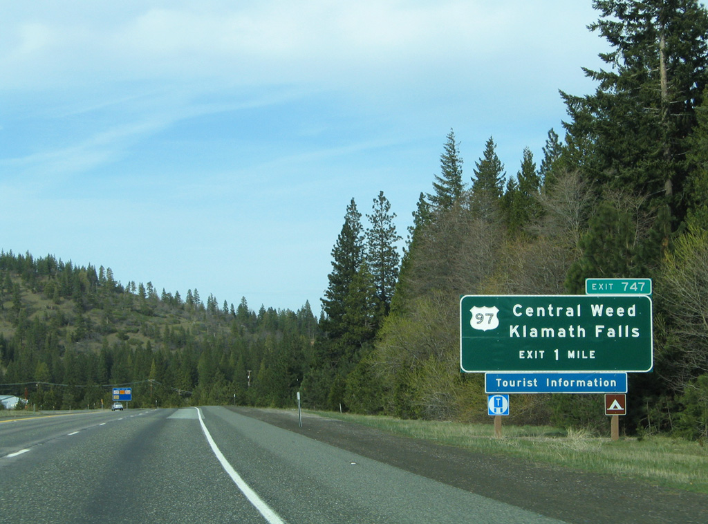
03/31/05
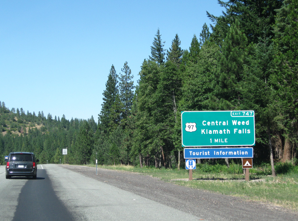
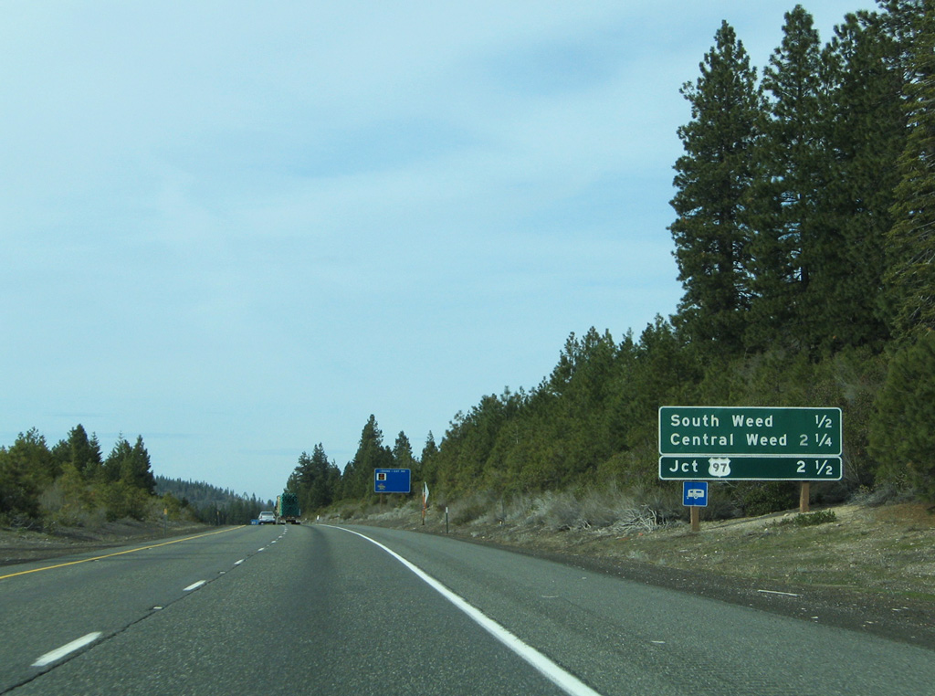
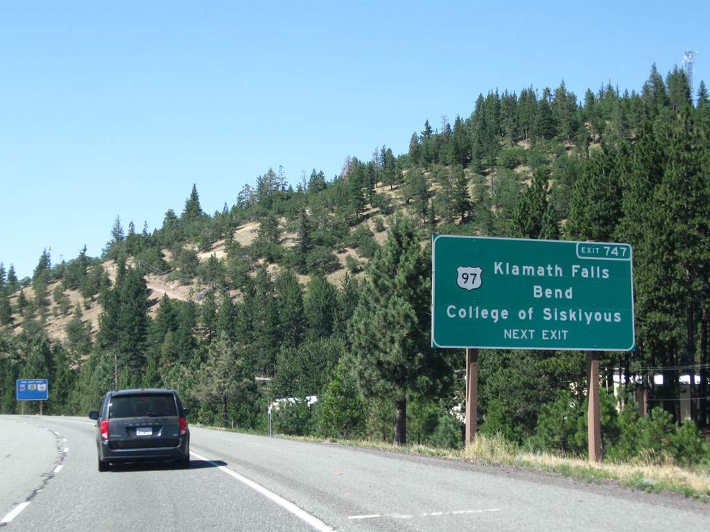
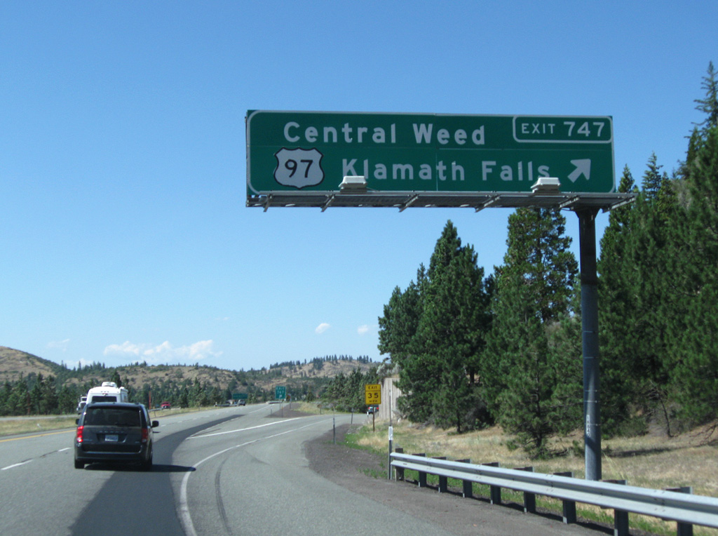
U.S. 97 branches northeast from Interstate 5 in one mile on a 54.54 mile long course to the Beaver State. Overall, the U.S. highway joins Weed, California with Oroville, Washington near the Canadian border.
08/02/11
08/02/11
08/02/11
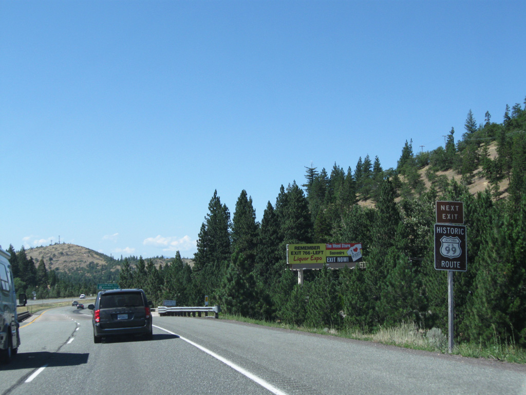
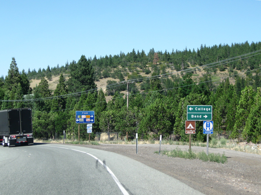
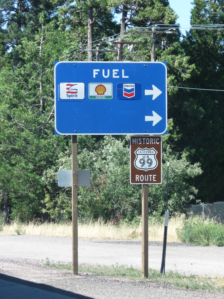
Business Loop I-5 and Historic U.S. 99 also tie into the upcoming diamond interchange (Exit 747) with U.S. 97.
08/02/11
08/02/11
08/02/11
08/02/11
08/02/11
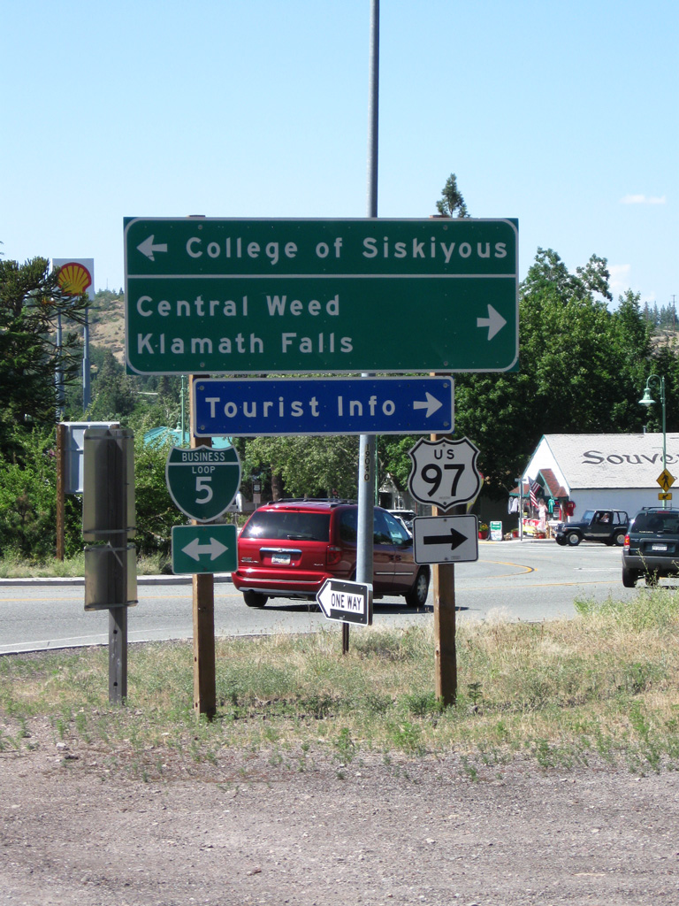
U.S. 97 initially follows Business Loop I-5 and Historic U.S. 99 into central Weed before turning northeast toward Klamath Falls, Oregon.
08/02/11
08/02/11


Photo Credits:
- Andy Field: 05/25/08, 08/02/11
- AARoads: 03/31/05
Page Updated Friday March 03, 2023.