
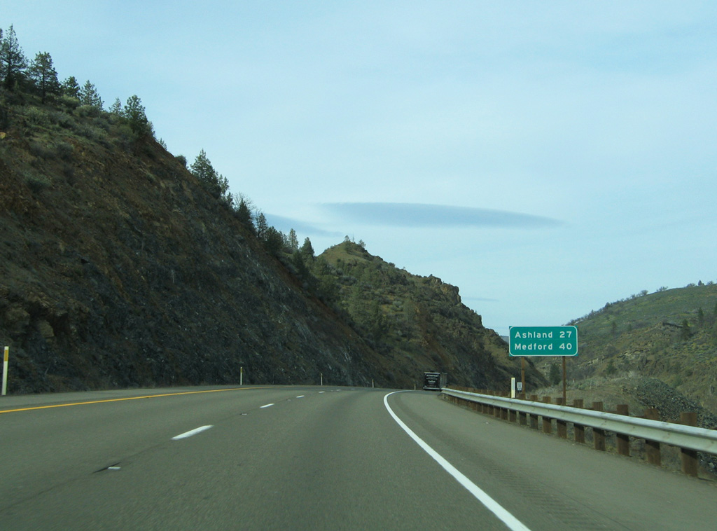
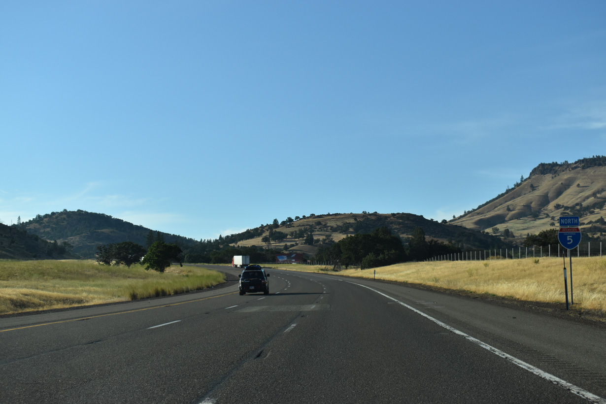
Interstate 5 North - Weed to Oregon

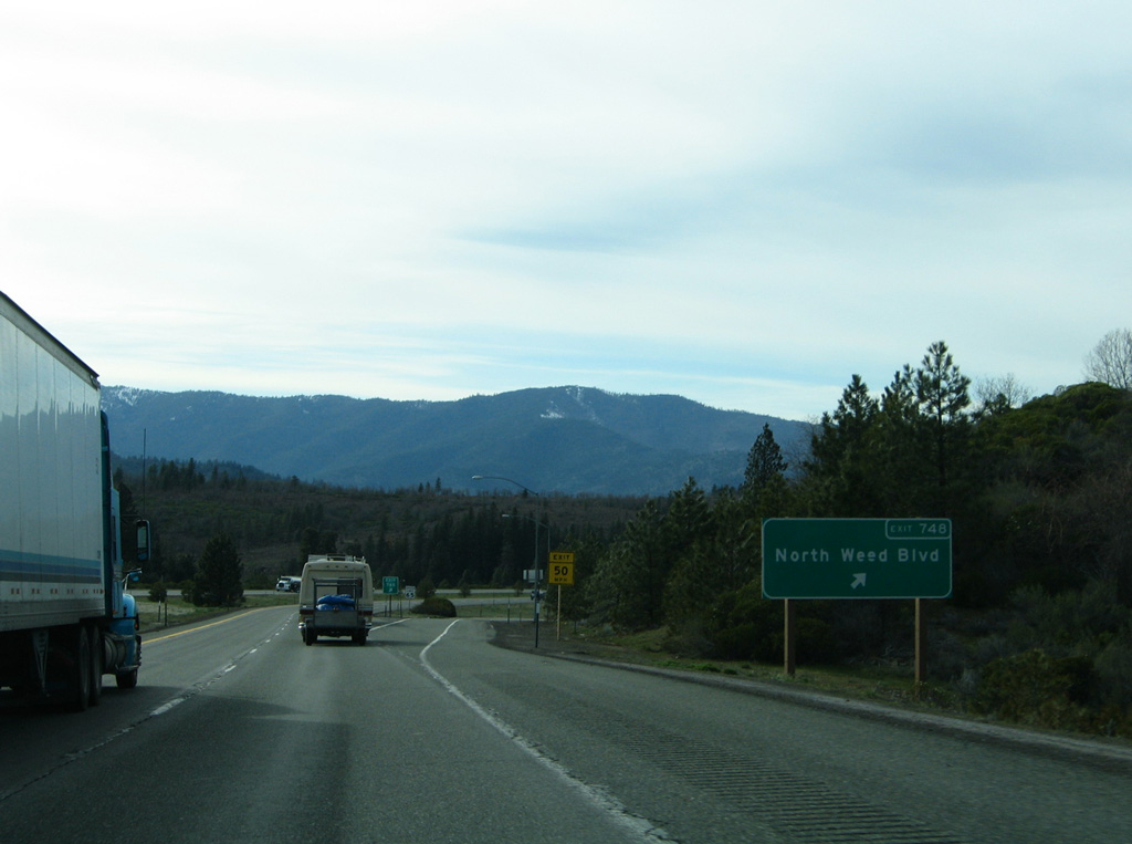
SR 265 overlays the northern half of Business Loop I-5 / Historic U.S. 99 (North Weed Boulevard) from U.S. 97 near central Weed.
03/31/05
03/31/05

03/31/05
03/31/05
The section of Interstate 5 between Weed and south Yreka was constructed by 1969.
03/31/05
03/31/05
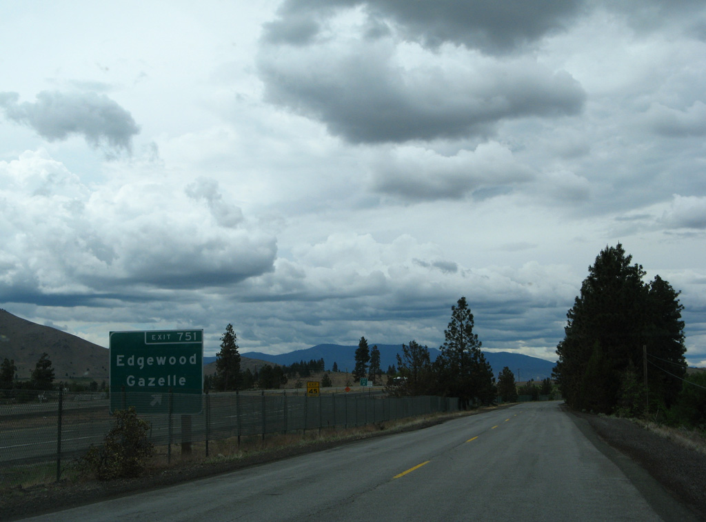
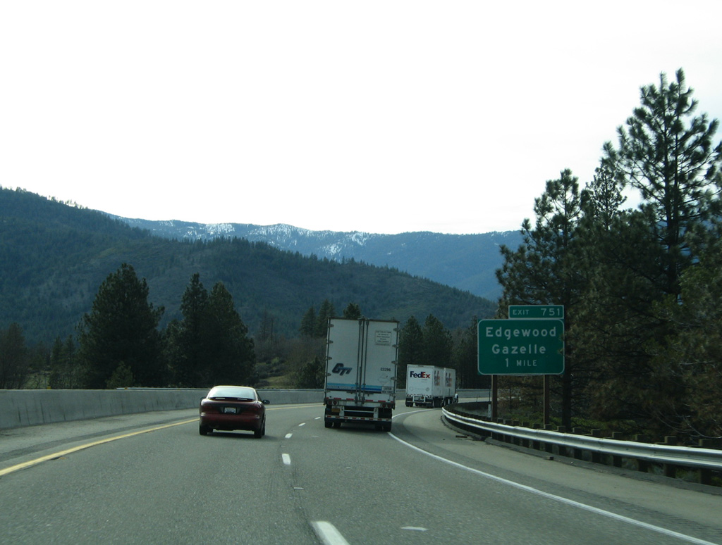
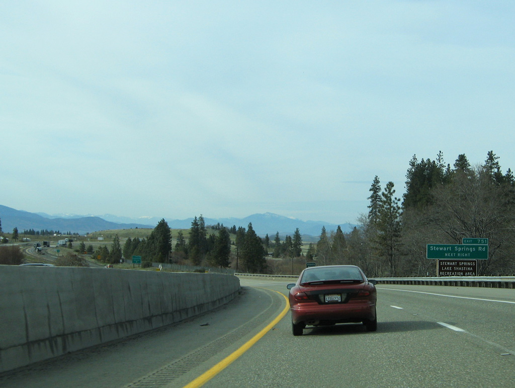
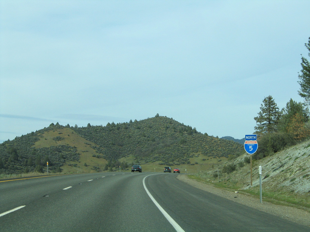
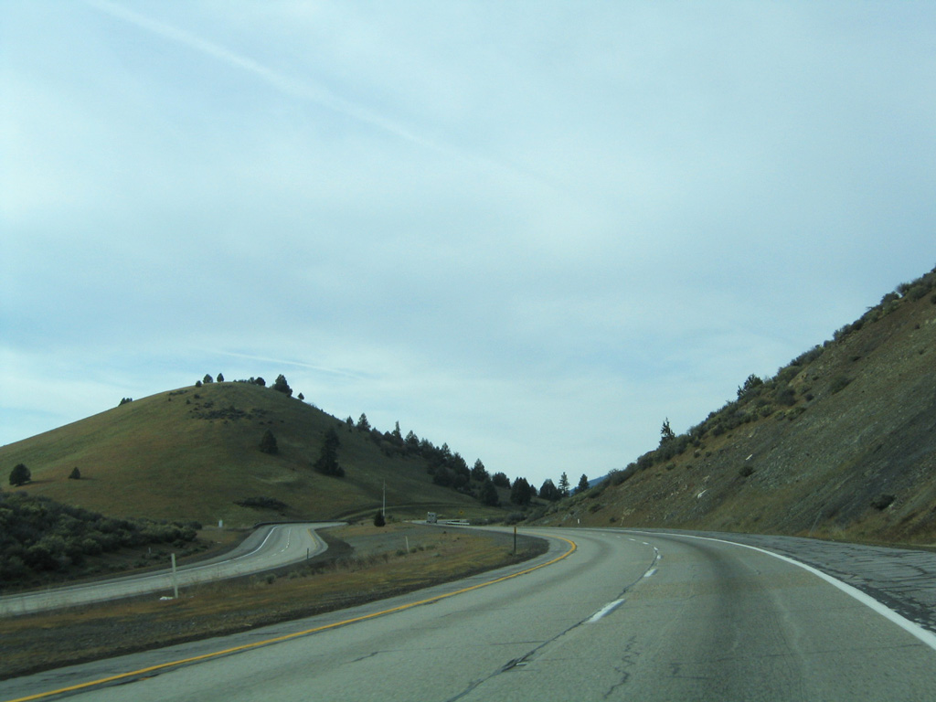
Exit 751 joins Interstate 5 with Stewart Springs Road (Old Highway 99) north to Gazelle and Edgewood Road.
03/31/05
03/31/05
03/31/05
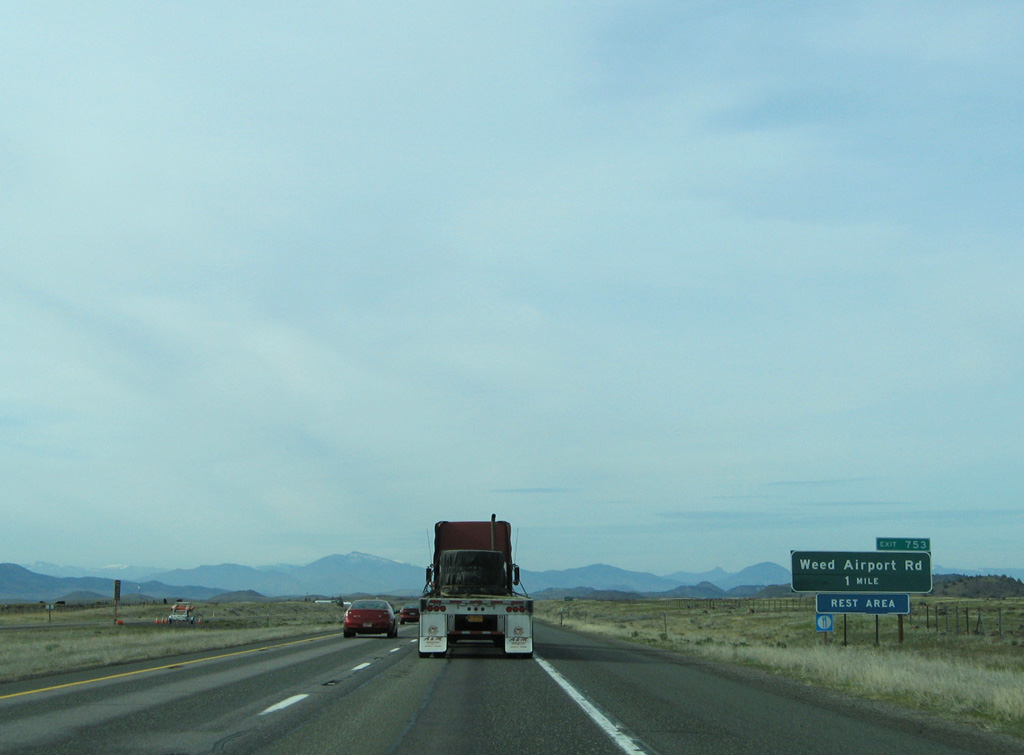
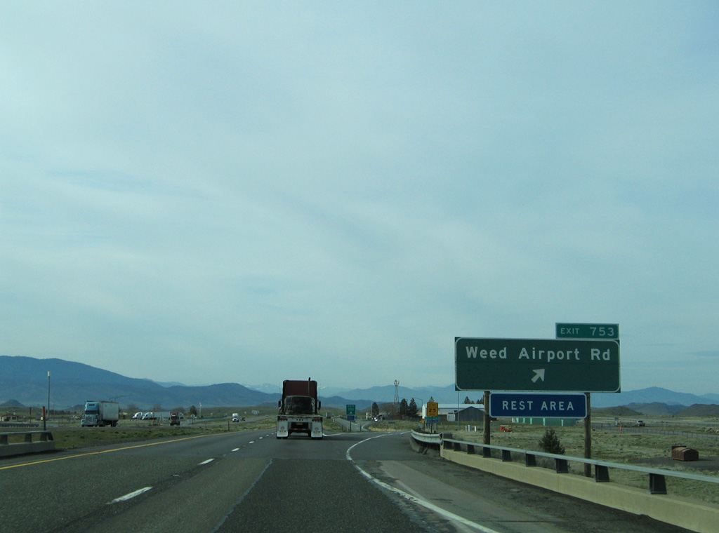
Right-in right-out (RIRO) ramps with Weed Airport Road (Exit 753) precede the Weed Airport Rest Area in one mile.
03/31/05
03/31/05
03/31/05

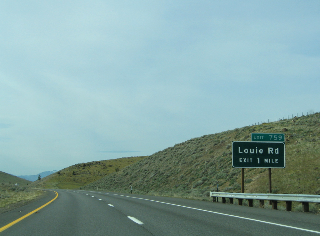
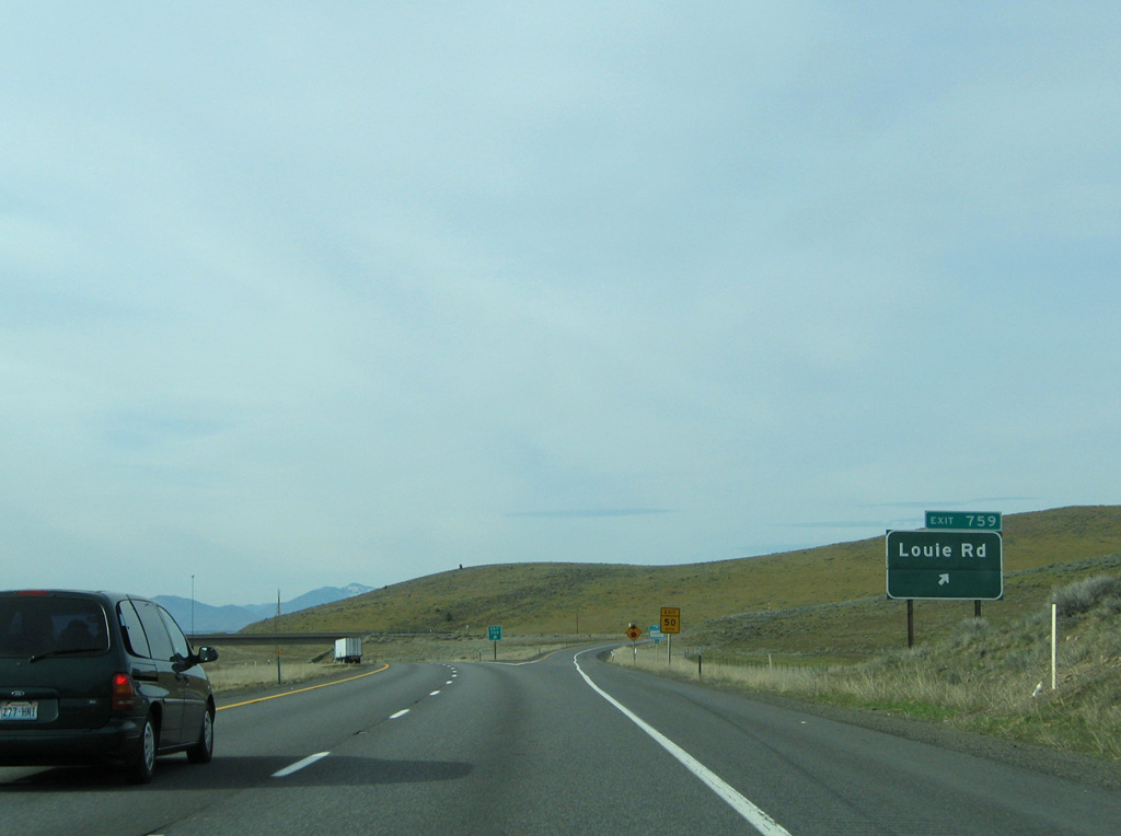
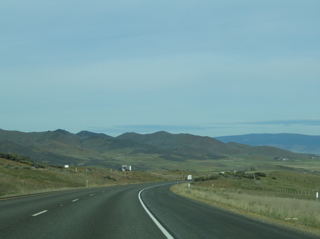
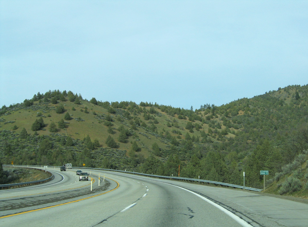
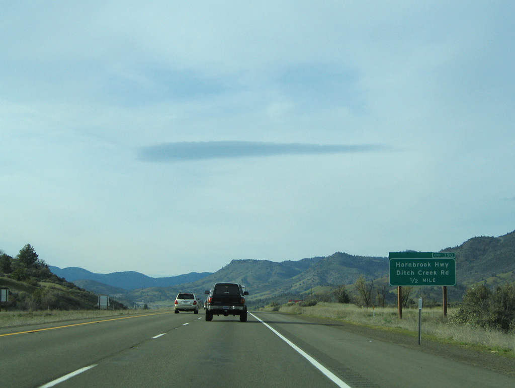
Interstate 5 passes through the Shasta Valley on the ensuing stretch to Louie Road (Exit 759).
03/31/05
03/31/05
03/31/05
03/31/05
03/31/05
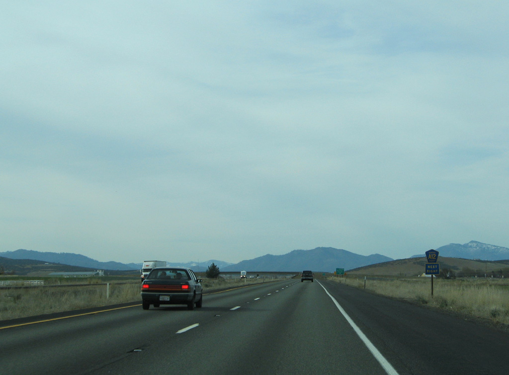
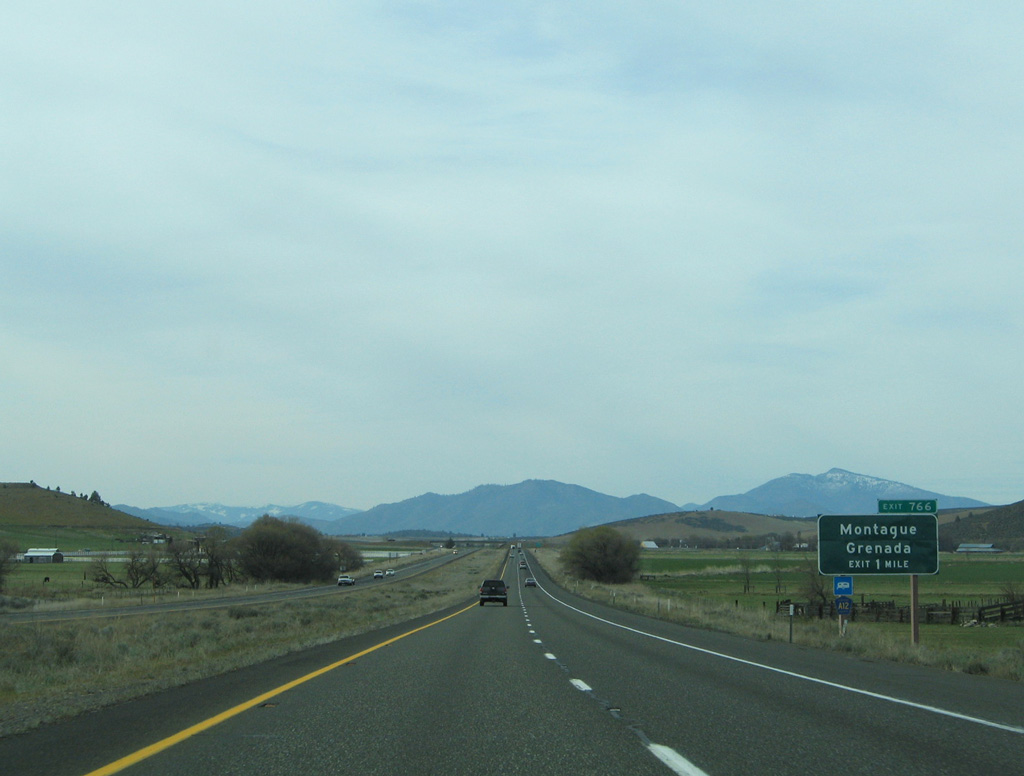
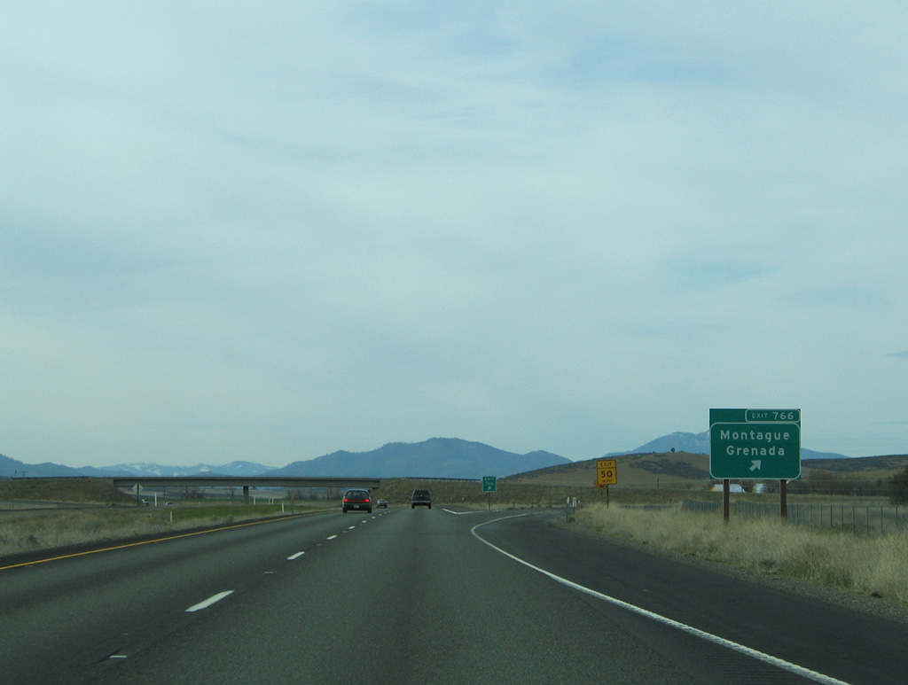
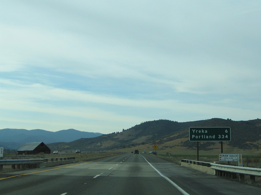
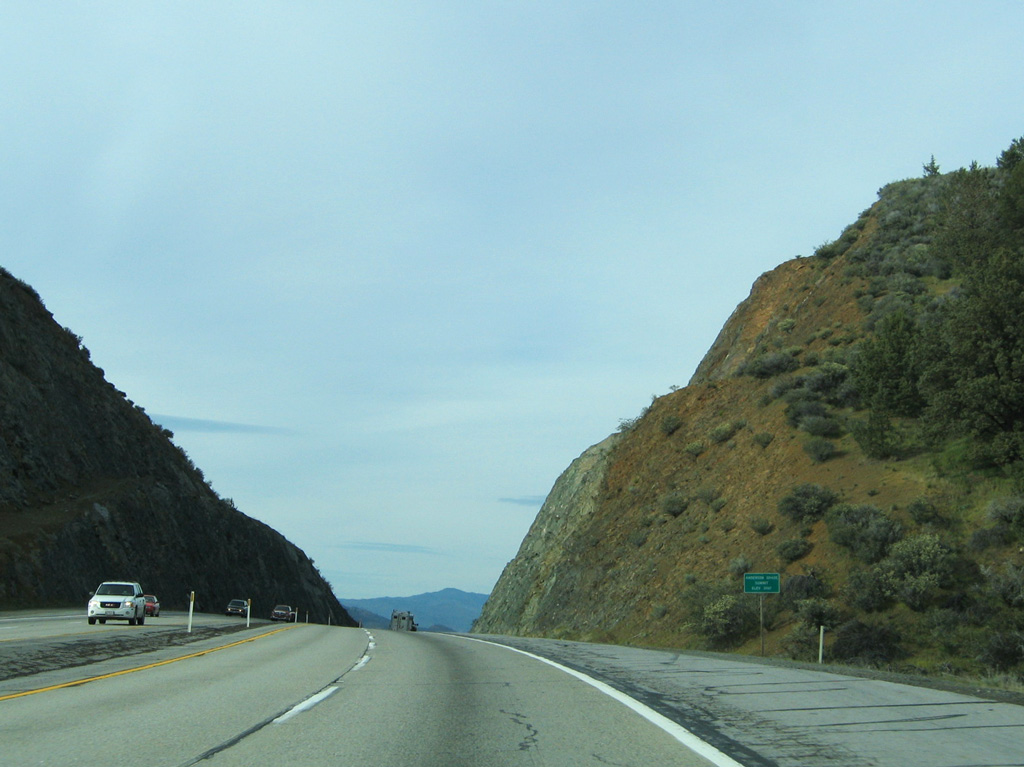
Siskiyou County Route A-12 (99-97 Cutoff) extends east of I-5 to Grenada and U.S. 97. CR A-12 serves as a shortcut route for southbound I-5 travelers connecting to U.S. 97.
03/31/05
03/31/05
03/31/05
03/31/05
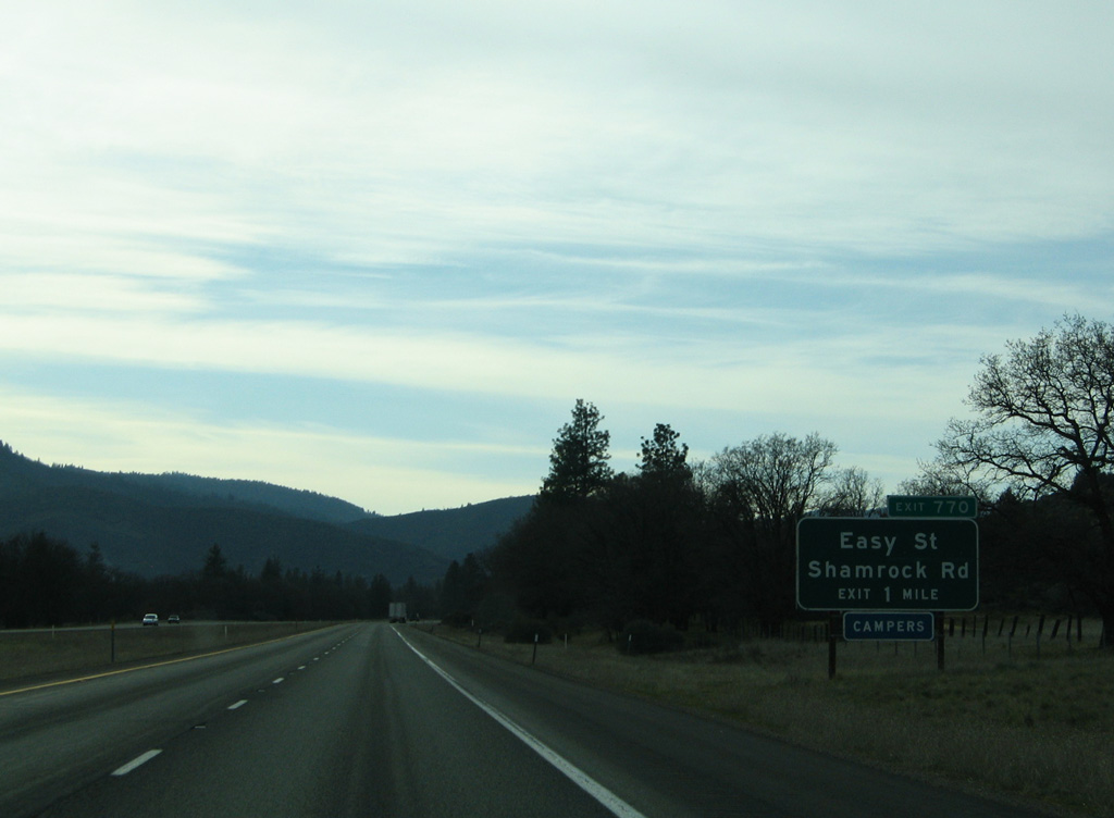
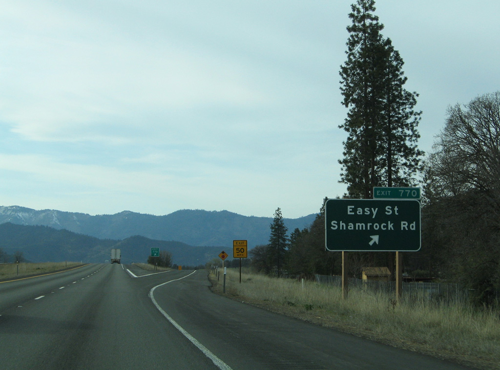
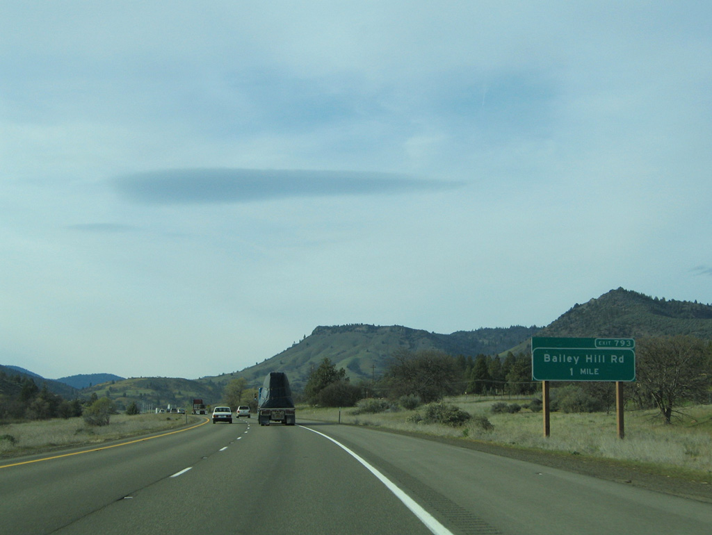
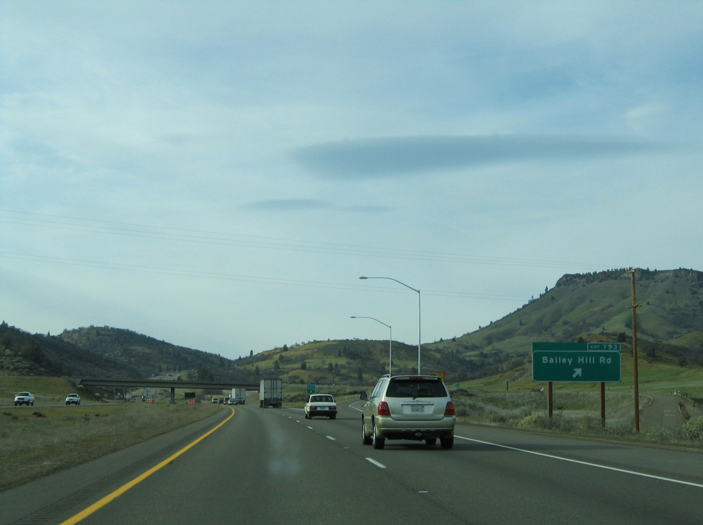
Easy Street (old U.S. 99) forms a frontage road for I-5 beyond upcoming Exit 770.
03/31/05
03/31/05
03/31/05
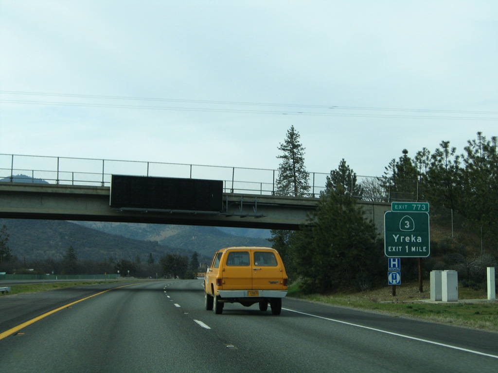
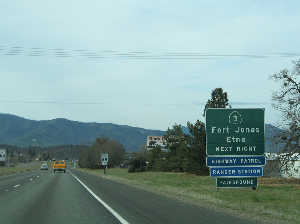
Moonlit Oaks Avenue joins Interstate 5 with SR 3 (S Main Street) at the first of three exits for the Siskiyou County seat in one mile.
03/31/05
03/31/05

Not indicated from I-5, Business Loop I-5 leaves ahead at Exit 773 for SR 3 and downtown Yreka.
03/31/05
03/31/05
03/31/05
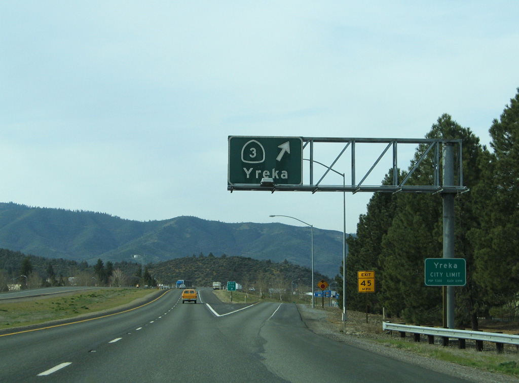
SR 3 travels on a southwesterly course from central Yreka to Fort Jones and Etna near the Salmon Mountain range. Ultimately, the route concludes at SR 36 in the Trinity Mountains.
03/31/05
03/31/05
Yreka was founded after gold was discovered in Black Gulch ravine in 1851. The city was incorporated on April 21, 1857.
03/31/05
03/31/05
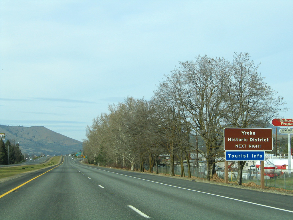
Yreka was at one point considered for the capital of the once proposed state of Jefferson, which would have been created out of portions of northern California and southern Oregon.
03/31/05
03/31/05
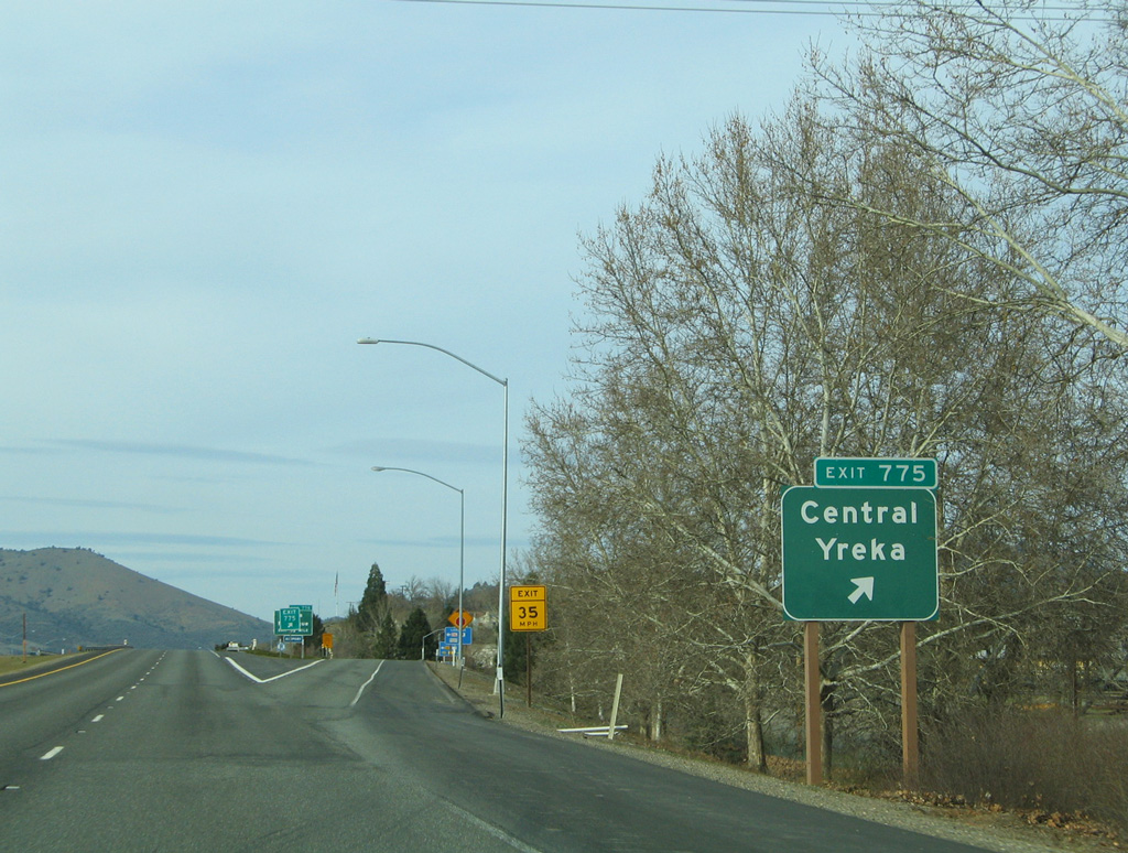
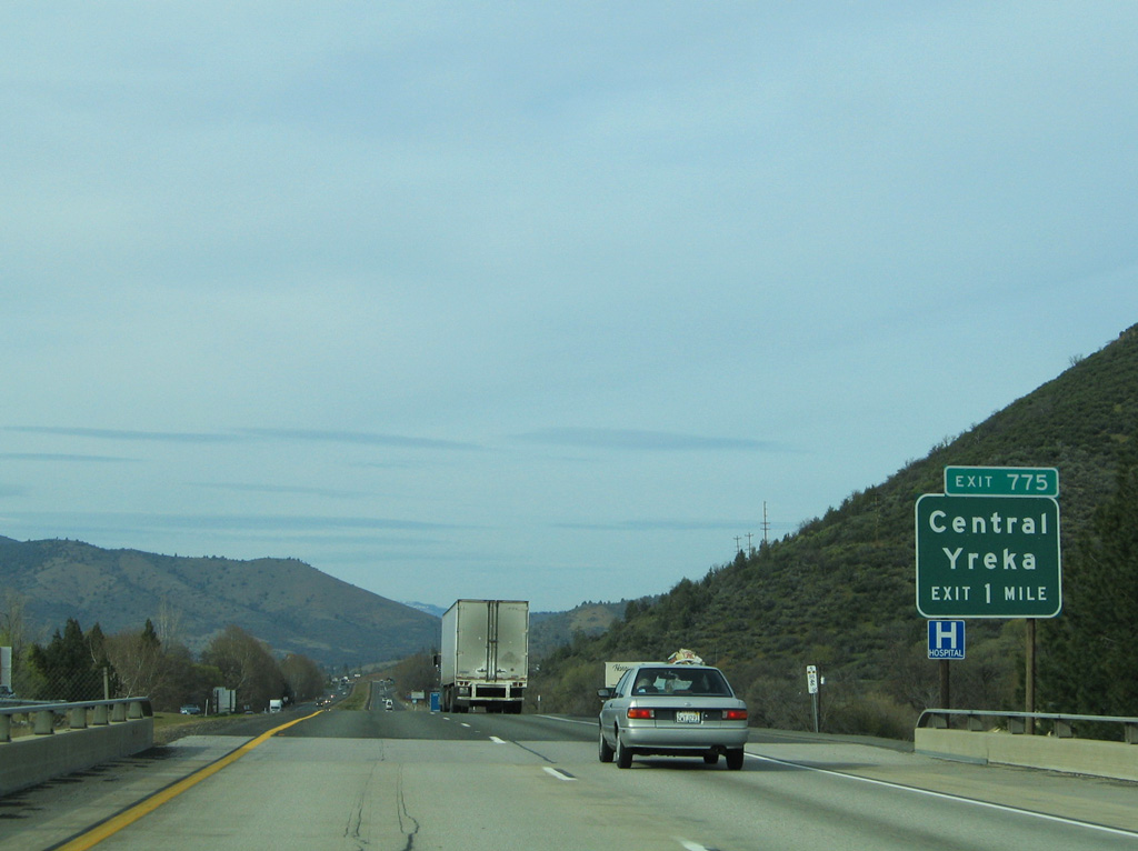
Miner and Center Streets tie into Interstate 5 at Exit 775. The one way couplet connects to SR 3 and downtown Yreka.
03/31/05
03/31/05
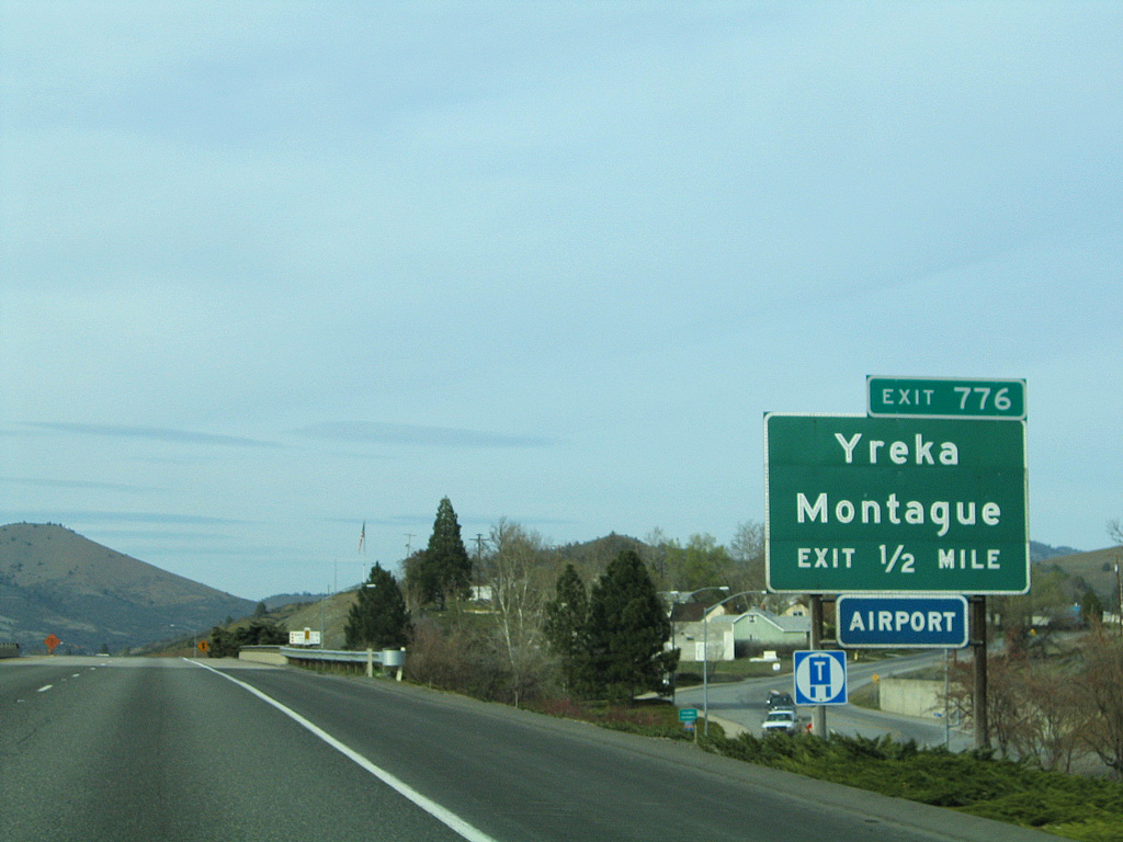
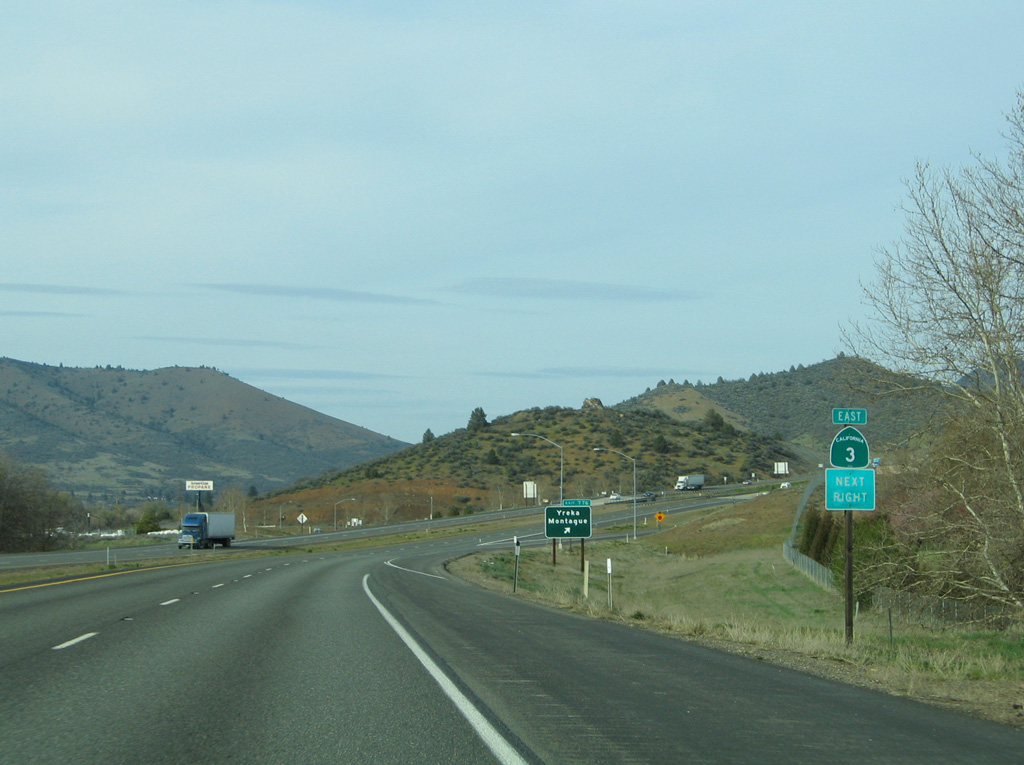
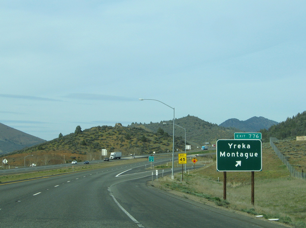
The northern end of Business Loop I-5 and SR 3 meet Interstate 5 at a diamond interchange (Exit 776) northeast of downtown next.
03/31/05
03/31/05
03/31/05
SR 3 continues east 6.5 miles to the eastern limits of Montague.
03/31/05
03/31/05
03/31/05
03/31/05
03/31/05
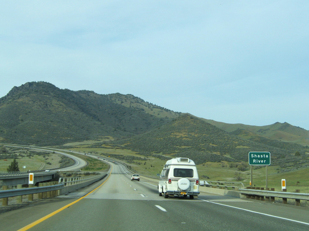
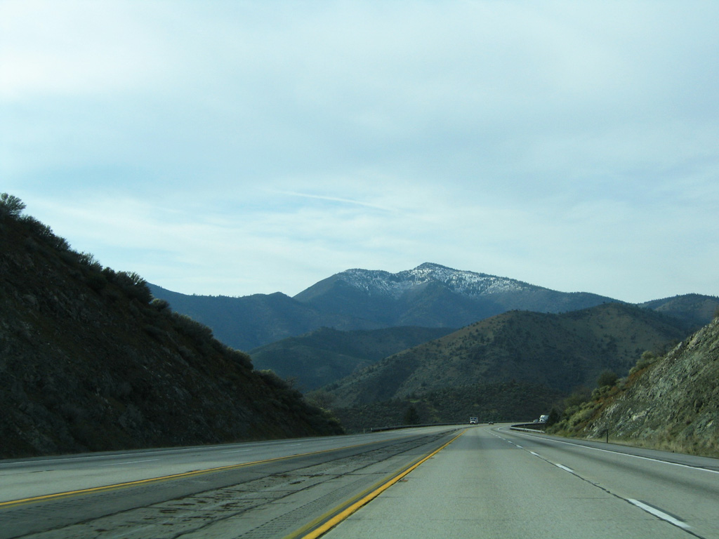
Preceding the Anderson Grade, Interstate 5 crosses the Shasta River on 1970 built bridges. The river serves as a tributary of the Klamath River further to the north, emanating from the northwest slope of Mount Shasta.
03/31/05
03/31/05
03/31/05
03/31/05
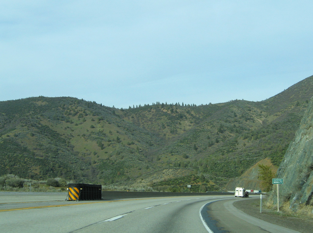
Interstate 5 at Anderson Grade Summit (elevation 3,067 feet).
03/31/05
03/31/05
03/31/05
The downgrade from the Anderson Grade Summit is six percent.
03/31/05
03/31/05
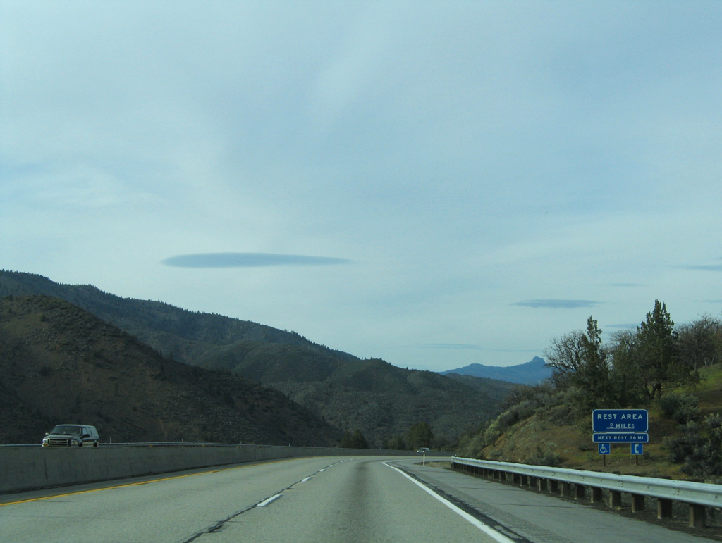
A half diamond interchange (Exit 786) serves the Randolph E. Collier Rest Area along Interstate 5 north in the Golden State in two miles.
03/31/05
03/31/05
03/31/05
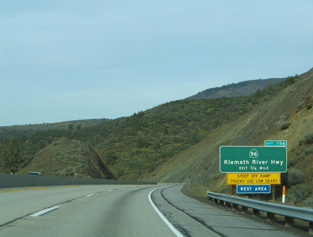
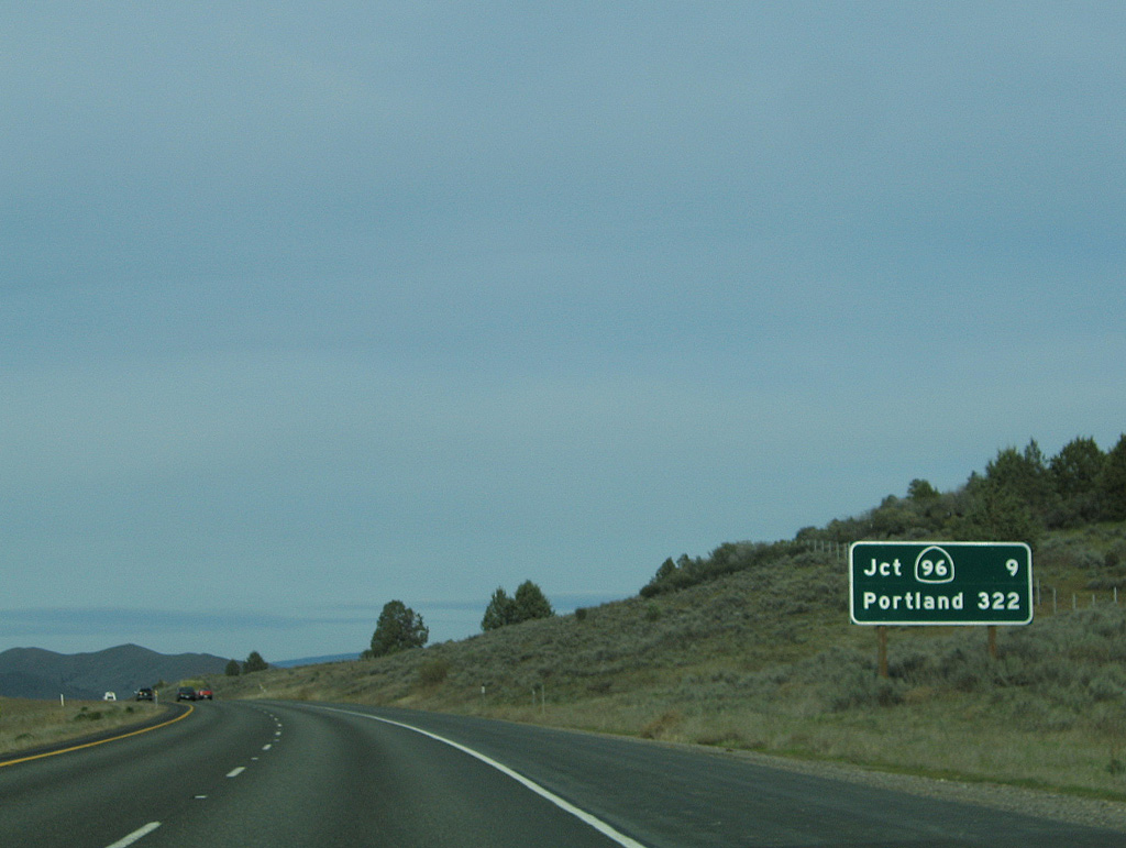
Anderson Grade Road joins Interstate 5 with SR 96 (Klamath River Highway) west and the rest area at Exit 786. SR 96 winds westward through the Siskiyou Mountains before turning south to Weitchpec.
03/31/05
03/31/05
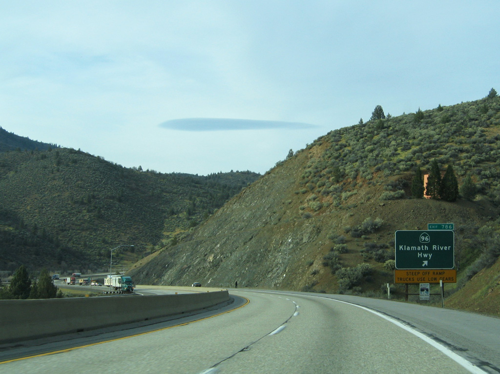
03/31/05
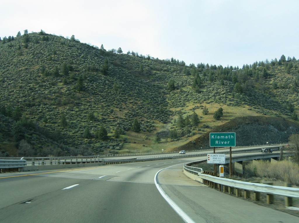
The 263 mile long Klamath River follows parallel to SR 96 on a course from I-5 to Weitchpec before curving northwest to Klamath and the Pacific Ocean.
03/31/05
03/31/05
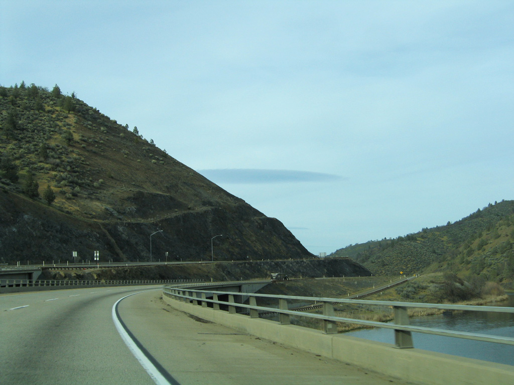
The bridges spanning the Klamath River along Interstate 5 were opened in 1969.
03/31/05
03/31/05
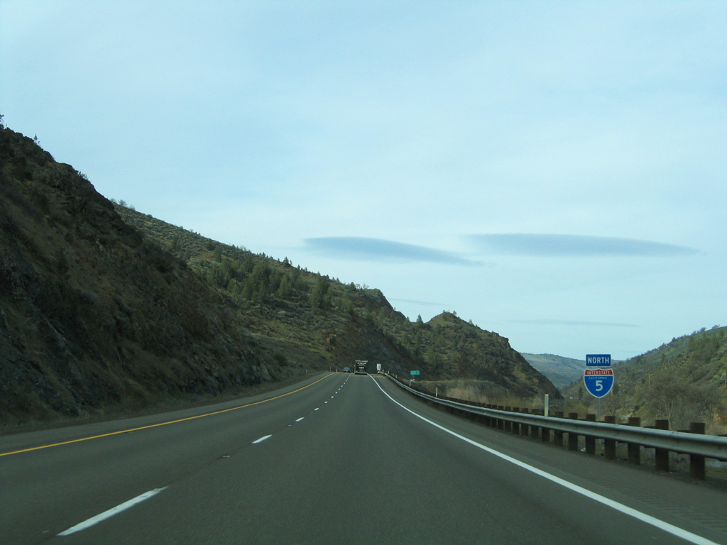
Confirming marker posted after the merge from the southbound wye interchange (Exit 786) with SR 96. This segment north to Oregon was built by 1974.
03/31/05
03/31/05
03/31/05
03/31/05
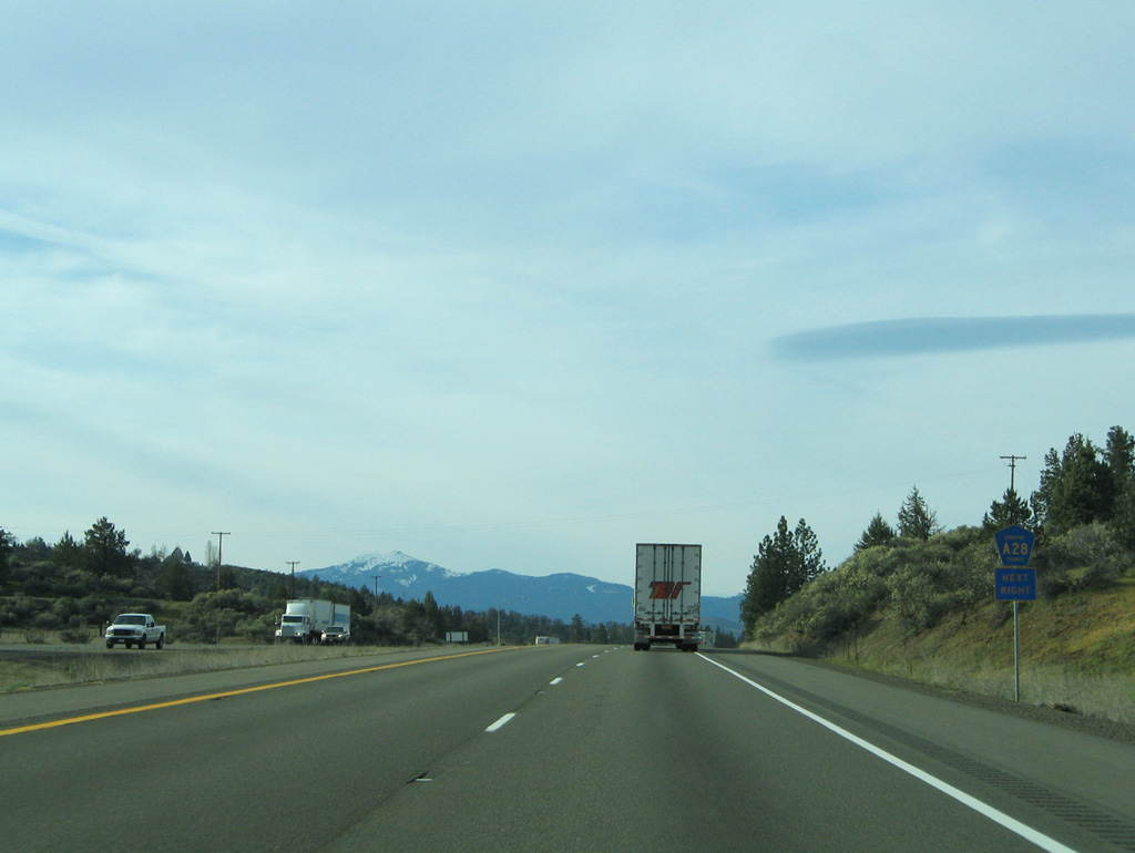
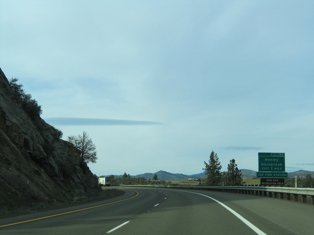
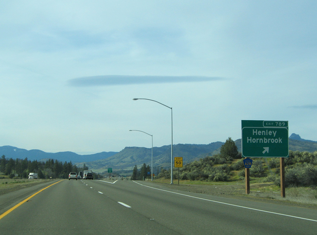
CR A-28 (Copco Road) travels an L shaped route east from I-5 near Hornbrook to SR 3 in Montague.
03/31/05
03/31/05
03/31/05
03/31/05

03/31/05

03/31/05
03/31/05
03/31/05
07/15/23
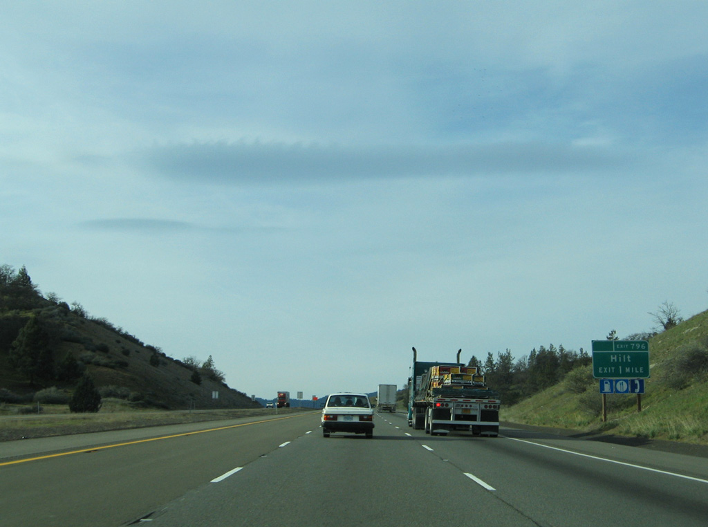
The last exit from Interstate 5 north in California connects the freeway with Hilt Road.
07/15/23
07/15/23
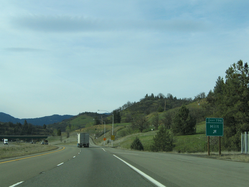
Hilt Road leads west from the diamond interchange at Exit 796 to the unincorporated communities of Hilt and Cole.
07/15/23
07/15/23

The final confirming marker for I-5 in the Golden State stands beyond Exit 796.
07/15/23
07/15/23
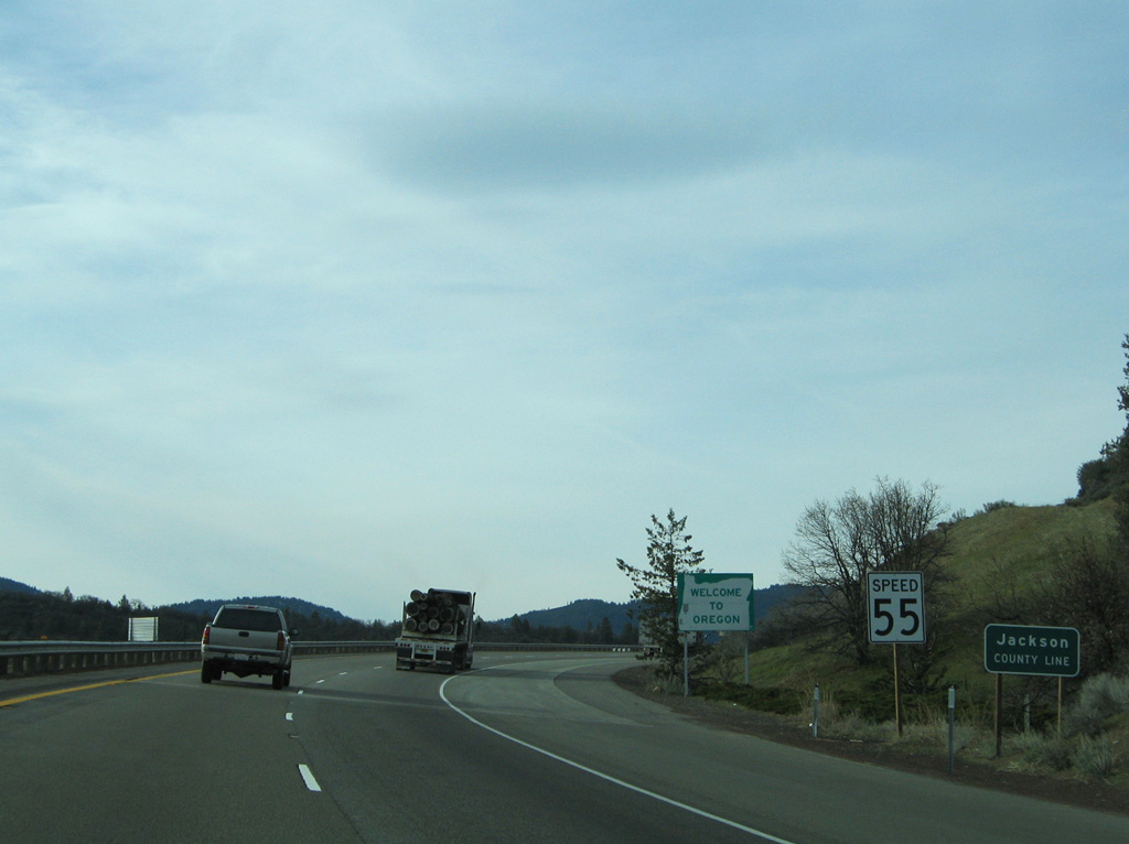
796.53 miles from the Mexico border, Interstate 5 continues north into Oregon, entering Jackson County ahead of Ashland.
07/15/23
07/15/23


Photo Credits:
- AARoads: 03/31/05
- Brent Ivy: 07/15/23
Page Updated Thursday August 14, 2025.