
Interstate 5 North - Canyonville to Roseburg

The city of Roseburg began as a claim purchased by New Yorker Aaron Rose. Rose traveled west over the Applegate Trail and platted a town site in 1850. The settlement began as stop along the Oregon-California Trail, officially garnering its name of Roseburg in 1857. Incorporation followed in 1872, coinciding with the arrival of the O&C Railroad and growth of the local agricultural industry. Expansion of the city continued through the 20th century, with Roseburg established as an economic center for the timber industry. 2.8 million acres of commercial forest land surround Roseburg throughout Douglas County.
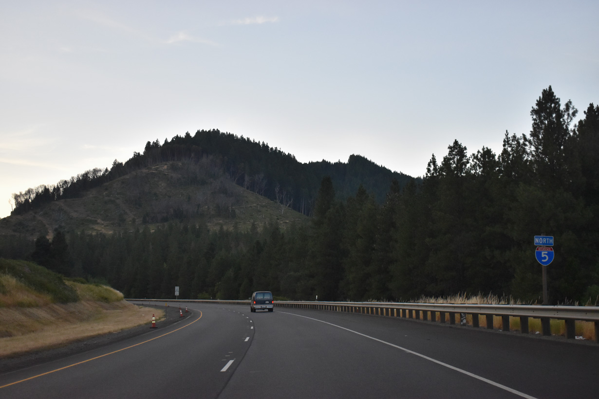
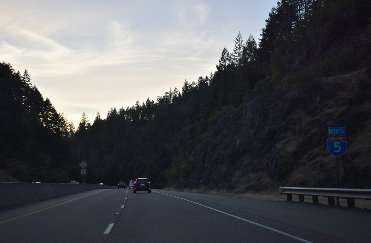
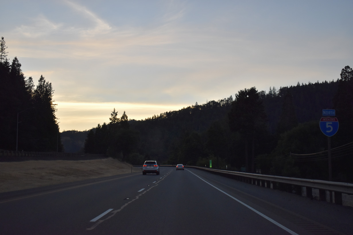
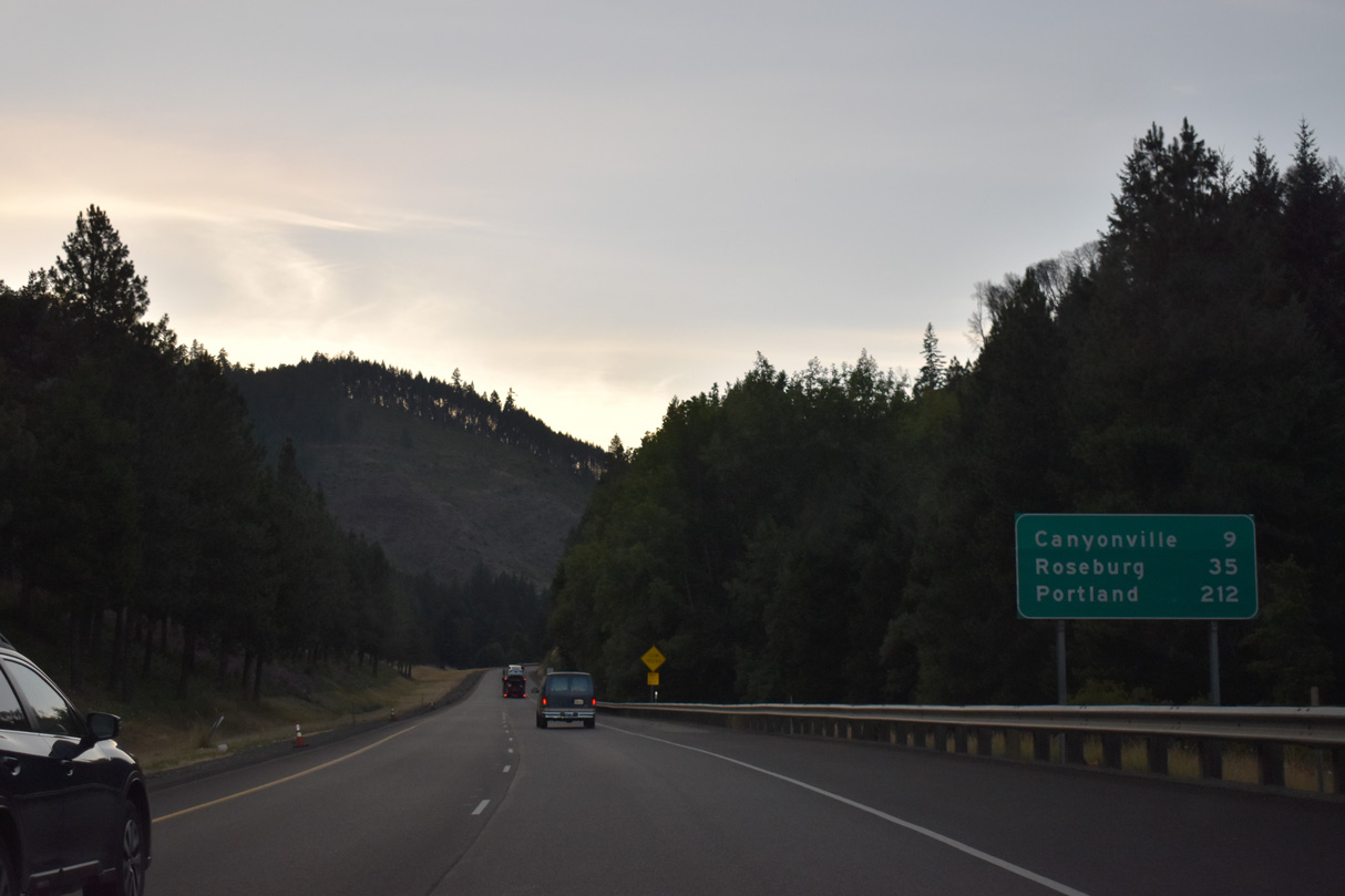
Interstate 5 resumes a northern trajectory between Azalea and Canyonville.
07/15/23
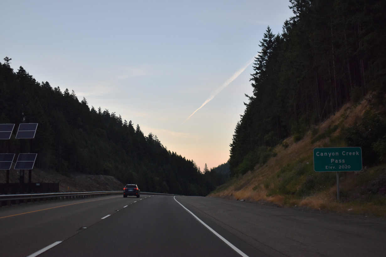
Interstate 5 north elevates to 2,015 feet above sea level at Canyon Creek Pass.
07/15/23
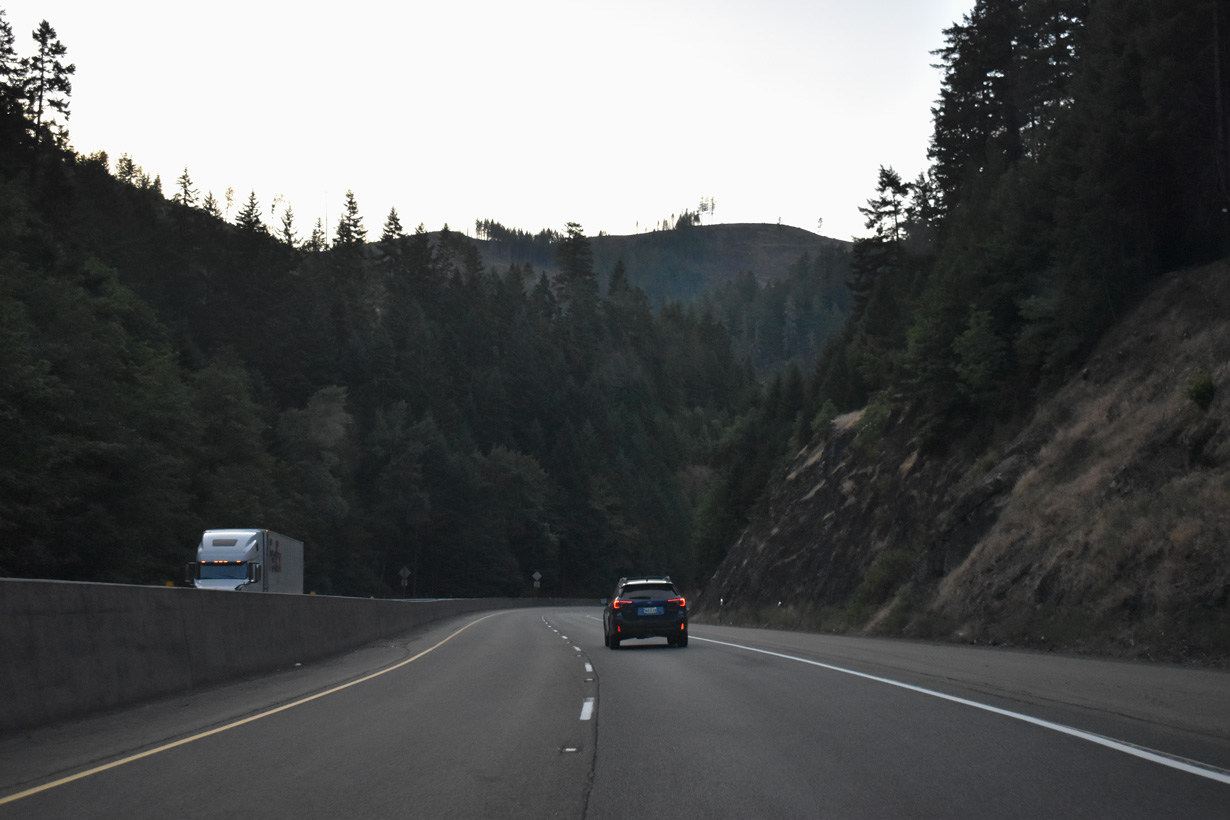
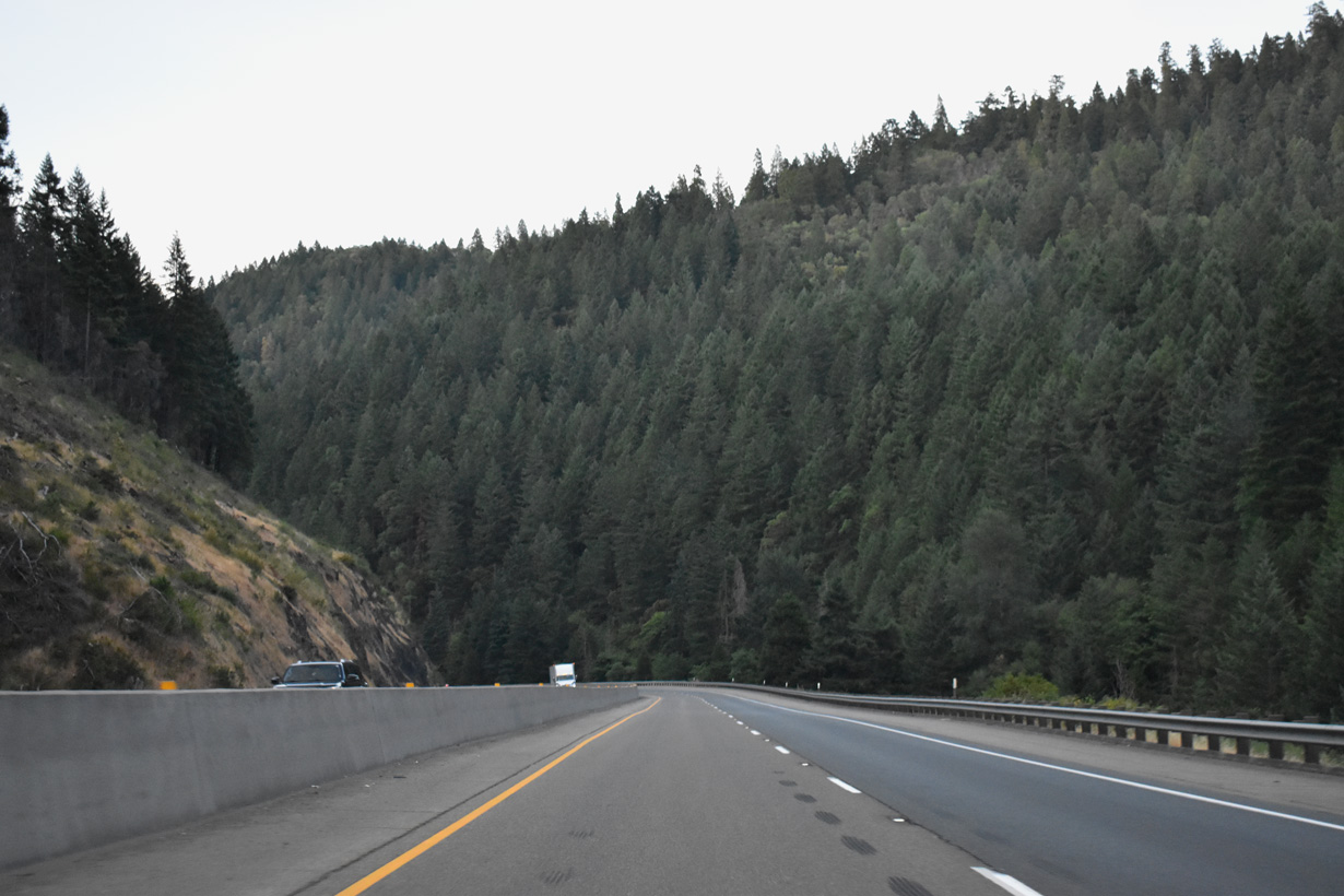
Interstate 5 navigates through a series of S-curves north alongside Canyon Creek.
07/15/23
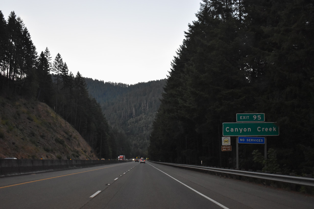
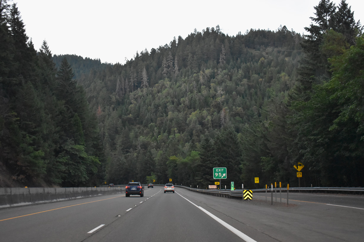
Exit 95 departs from Interstate 5 north to Canyon Creek Road at Bear Gulch.
07/15/23
Canyon Creek Road runs along the east side of I-5 from Exit 95 to Ritche Road in an isolated valley east of Canyon Mountain.
07/15/23
Canyon Creek intertwines with Interstate 5 on the two miles leading north into the city of Canyonville.
07/15/23
The city of Canyonville lies at 747 feet above sea level, around 1,300 feet below the Canyon Creek headwaters.
07/15/23
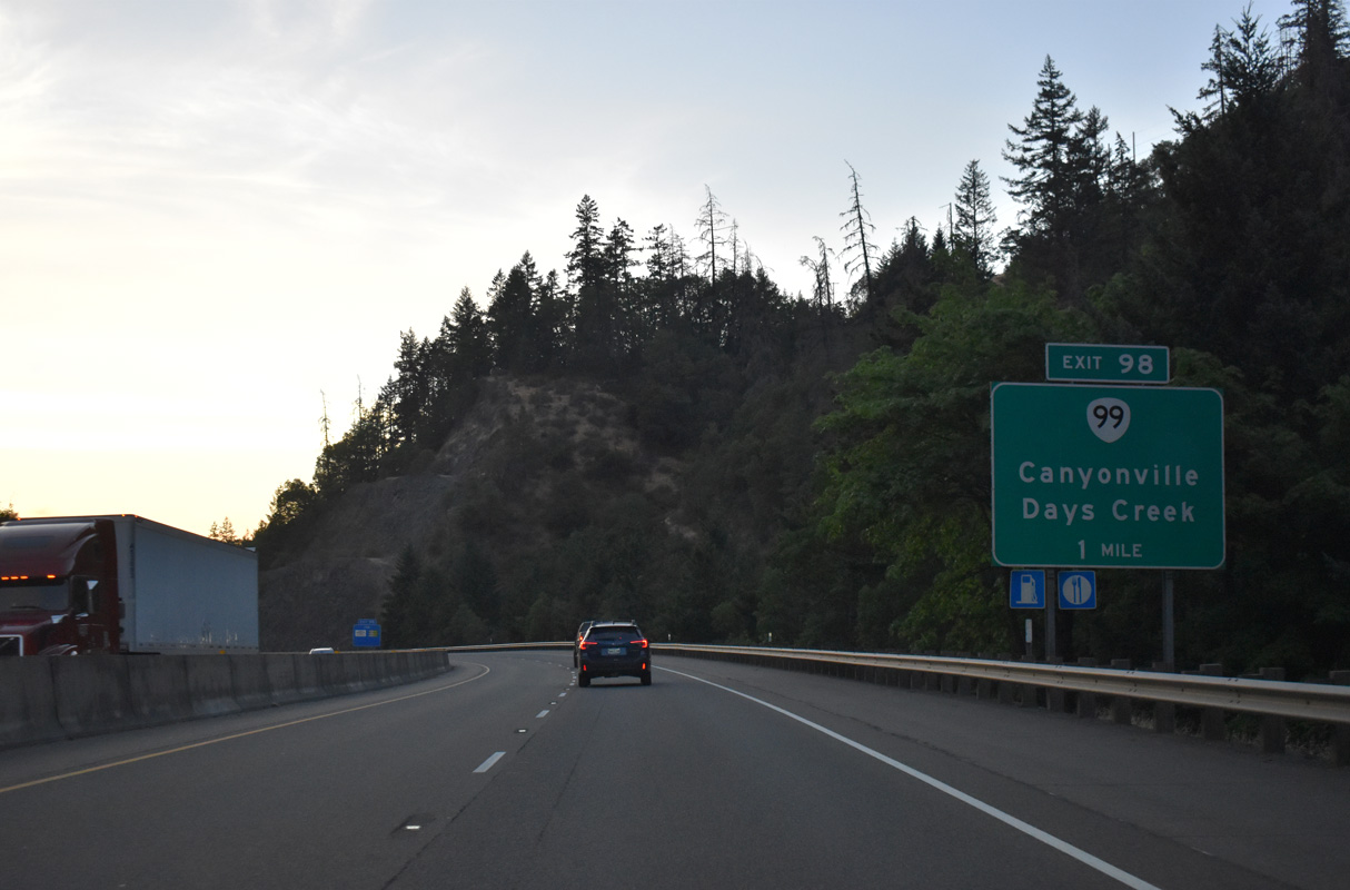
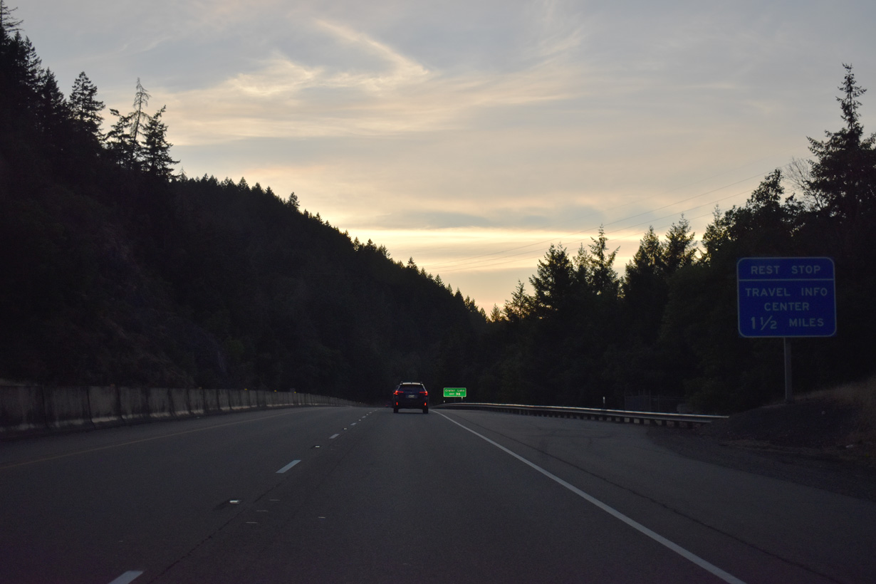
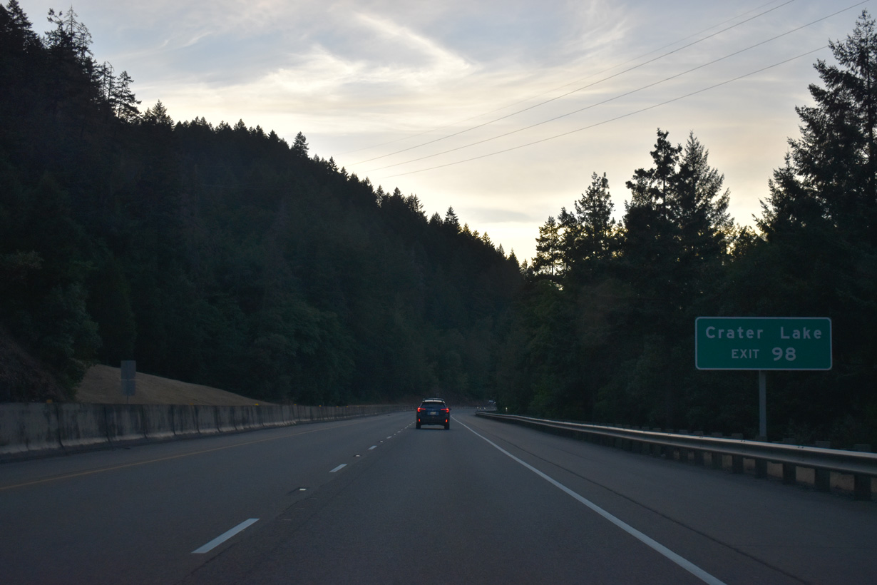
One mile in length, an unsigned section of OR 99 loops east from Interstate 5 through Canyonville between Exits 98 and 99.
07/15/23
Located along N Main Street (OR 99), the building housing Canyonville City Hall and library also includes a visitor information center.
07/15/23
Formerly Oregon Route 227, Tiller Trail Highway (CR 1) extends east from 3rd Street in Canyonville eight miles to Days Creek and 49 miles to OR 62 at Trail. Leaving just 11.25 miles south to OR 62, OR 227 was truncated east to the Jackson County line in 1985 (Oregon Route 227, 2023).
07/15/23
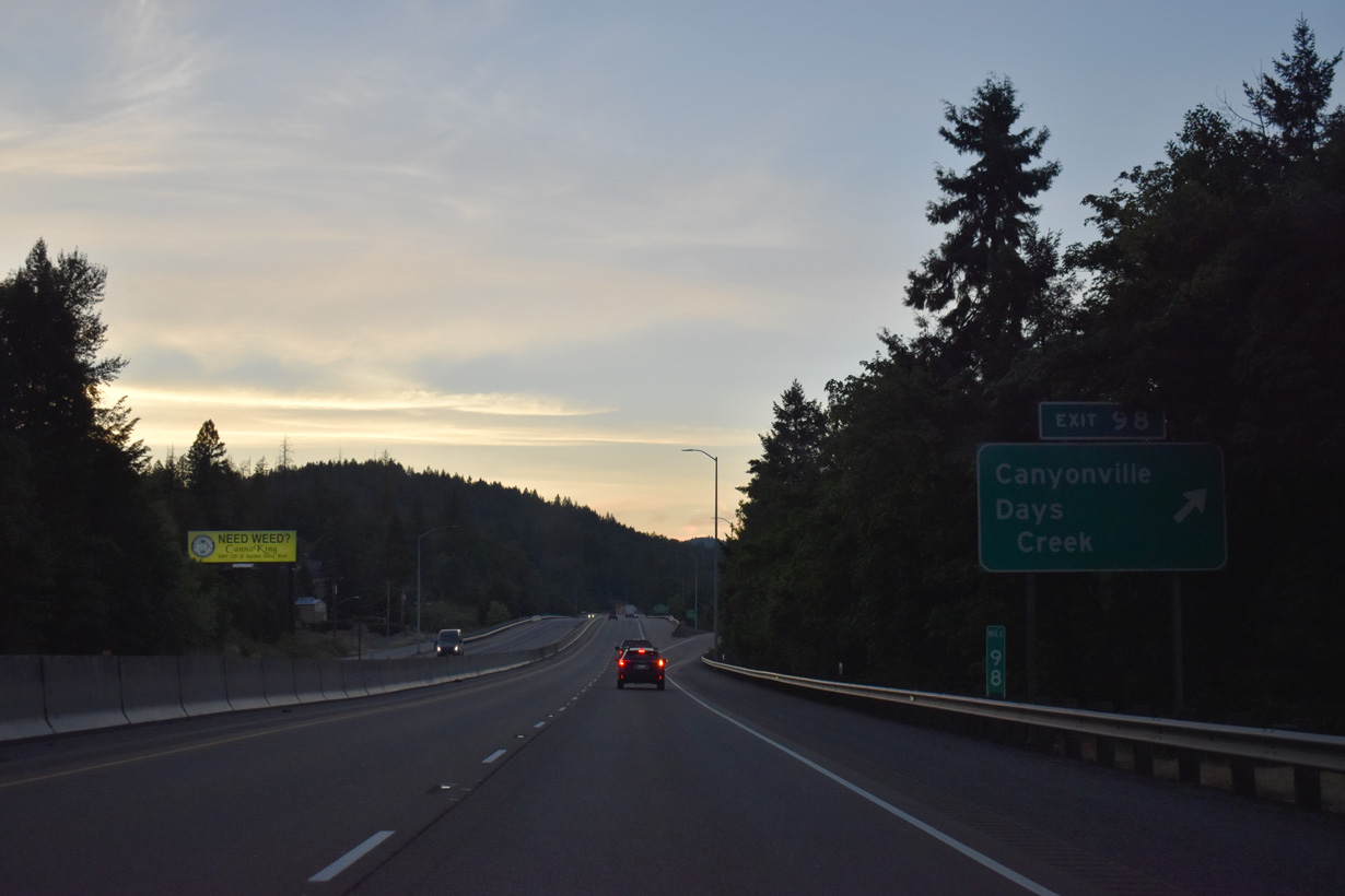
OR 99 dog legs east from Exit 98 along SW 5th Street to connect with Main Street north through the Canyonville business district.
07/15/23
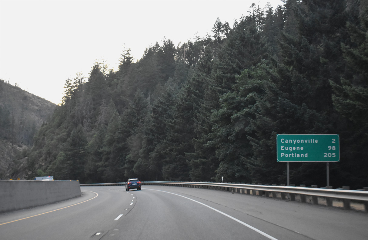
Interstate 5 continues north through Canyonville to Exit 99. The city began as a stop along the historic Scott-Applegate Trail and later as a ferry crossing settlement named Kenyonville. Jesse Roberts platted the town site in 1858 and named it Canyonville after the nearby Canyon Creek Canyon.
07/15/23
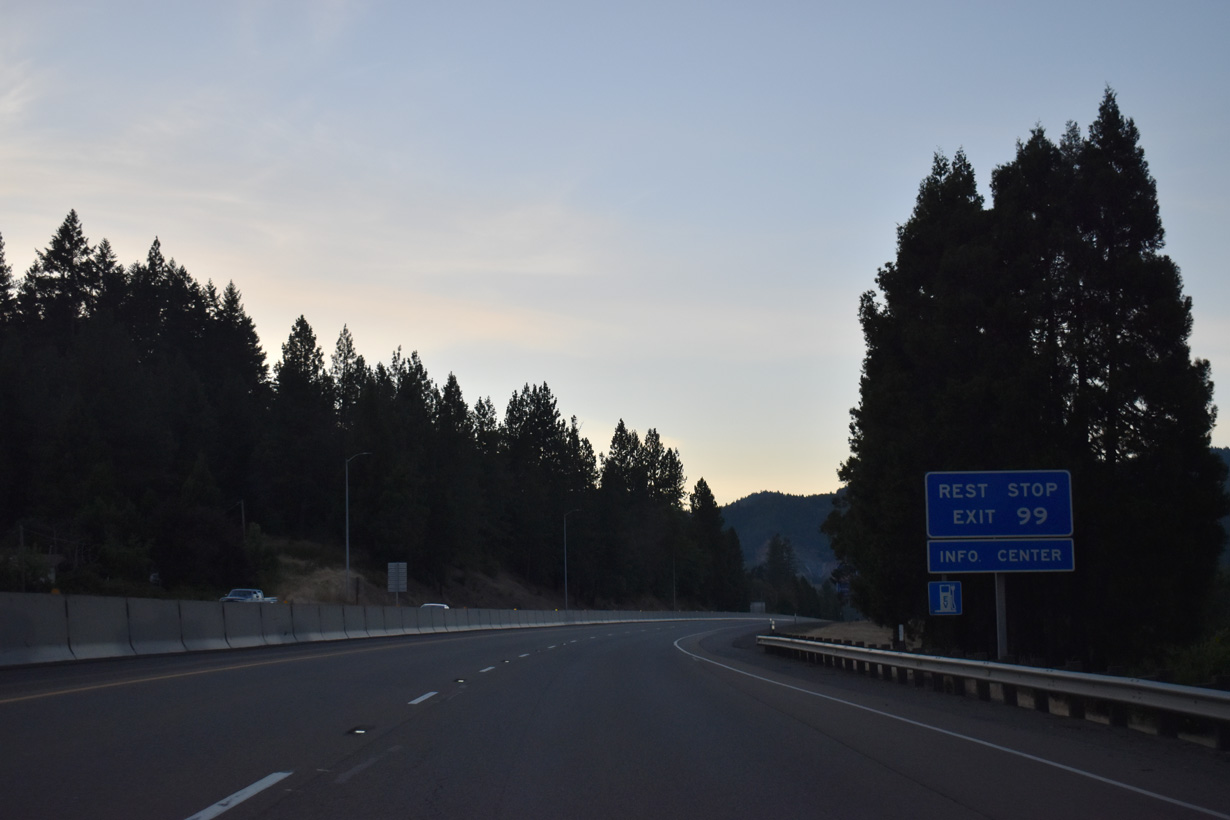
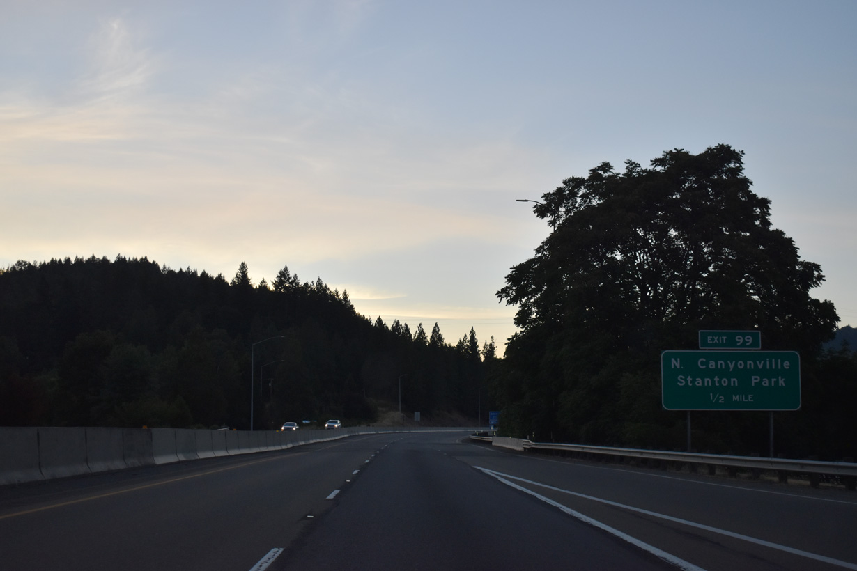
Exit 99 links I-5 north with adjacent N Main Street (OR 99). Creekside Road extends Main Street north across I-5 to the Jordan Creek Rest Area.
07/15/23
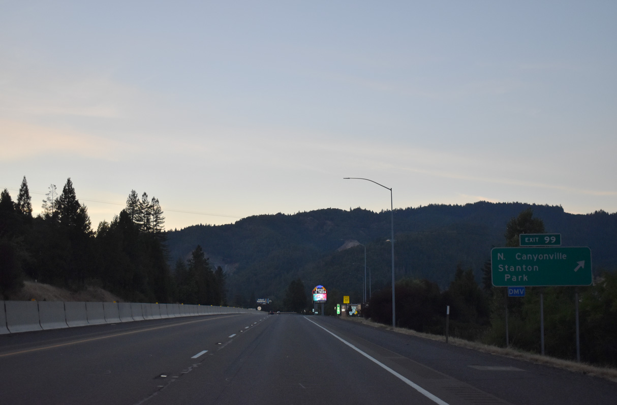
Stanton Park Road north from Gazley Bridge Road near Exit 99 represents the old route of U.S. 99 to Charles V. Stanton Park along the South Umpqua River. Old U.S. 99 continues to parallel the freeway west to Yokum Road at Exit 101.
07/15/23
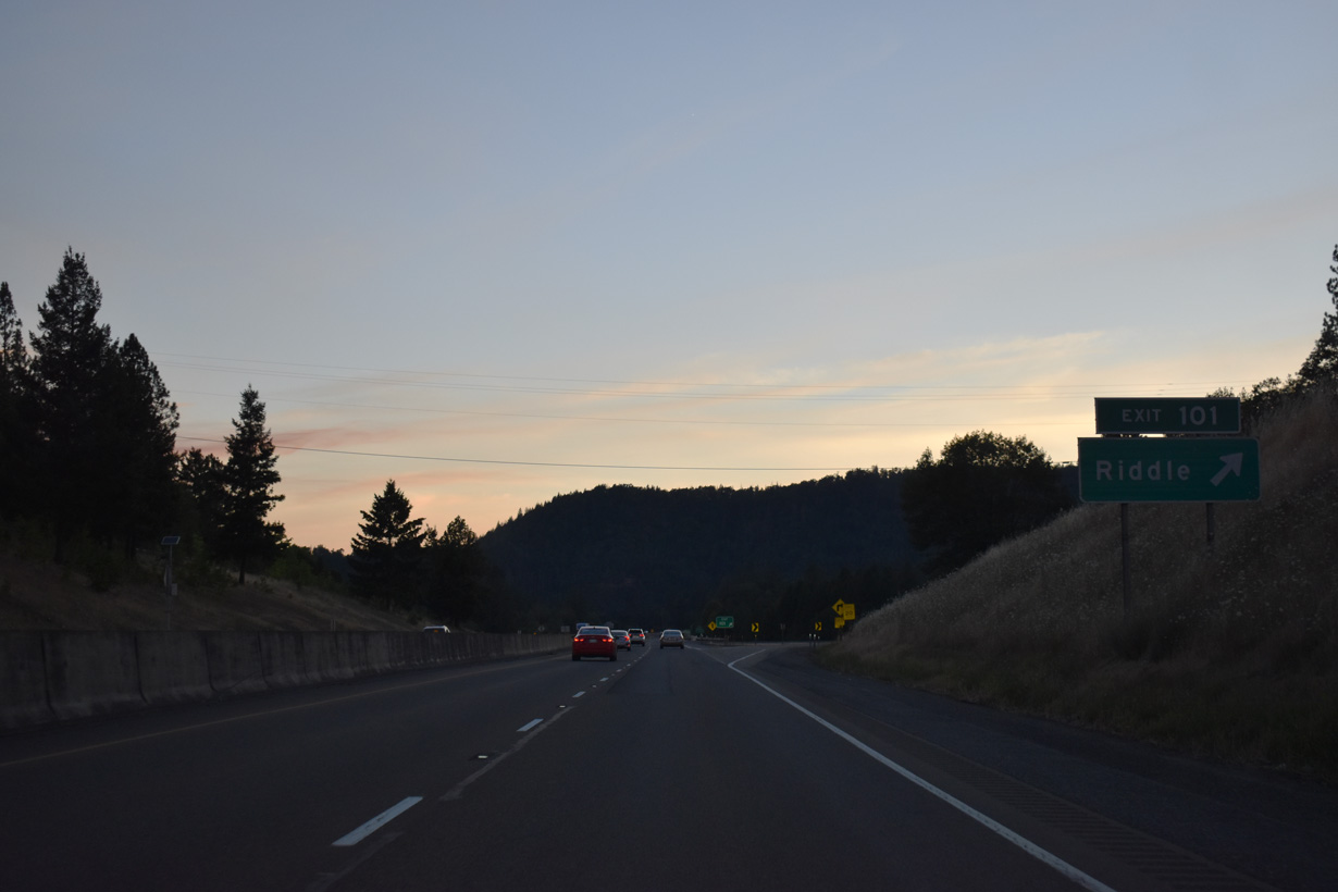
Right in right out (RIRO) ramps at Exit 101 link Interstate 5 northbound with Stanton Park Road (Old U.S. 99).
07/15/23
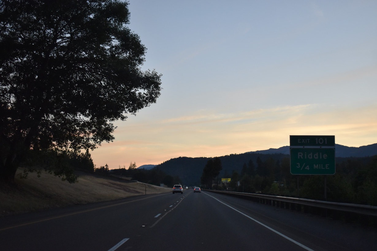
Yokum Road extends 2.6 miles west from I-5 and Stanton Park Road to 1st Avenue in the city of Riddle.
07/15/23
Interstate 5 turns west by Charles V. Stanton Park.
07/15/23
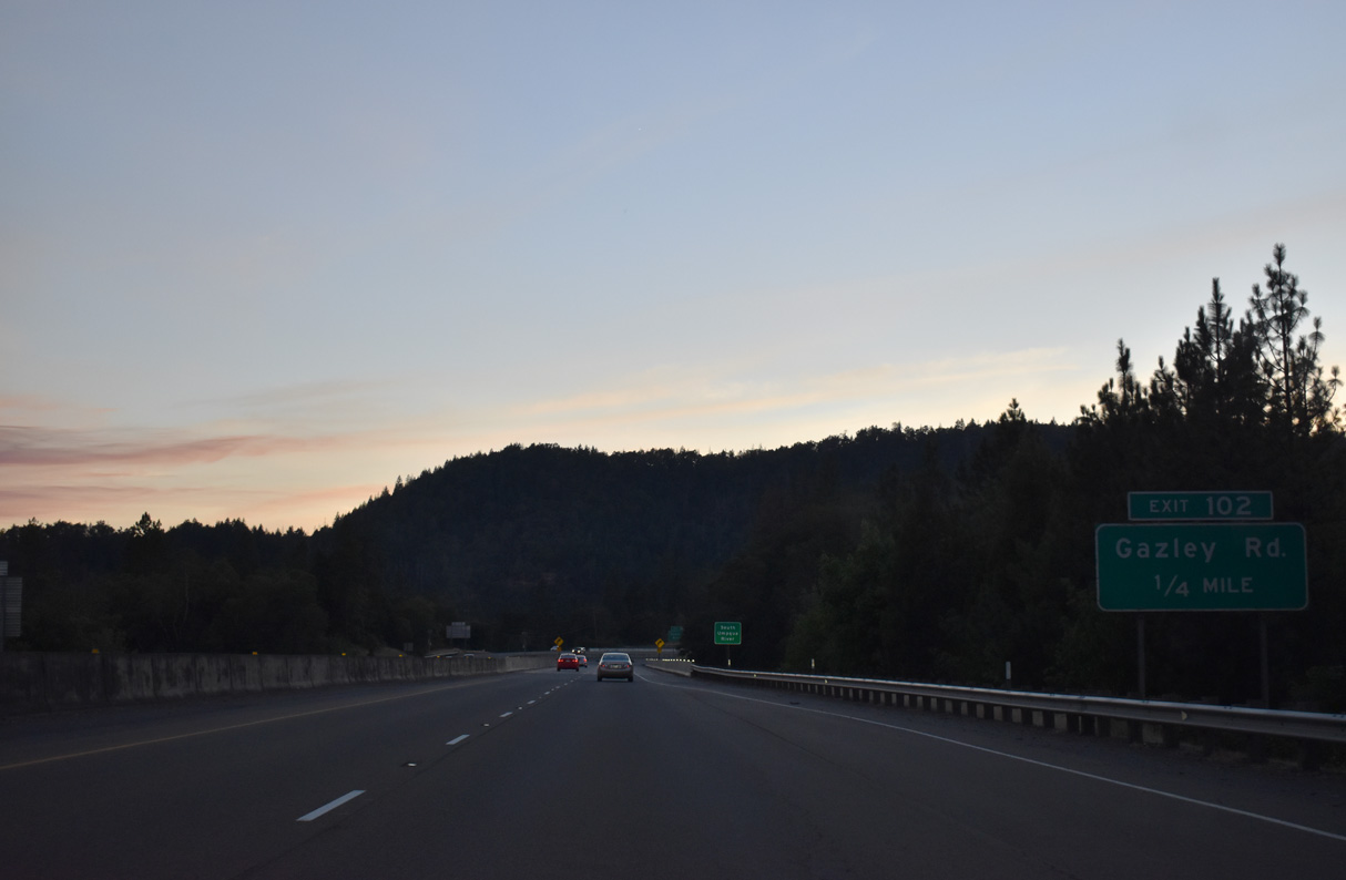
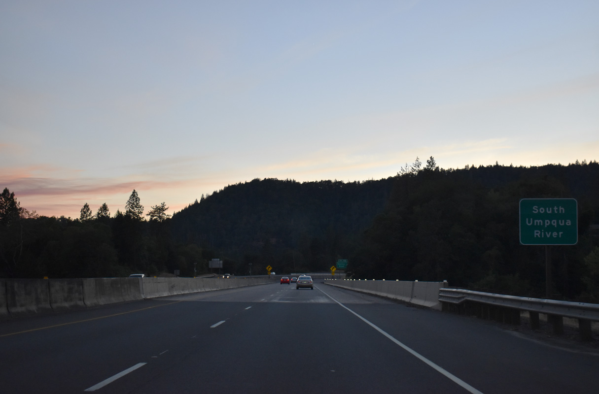
Interstate 5 crosses the South Umpqua River for the first time before curving north into a diamond interchange (Exit 102) with Gazley Road.
07/15/23
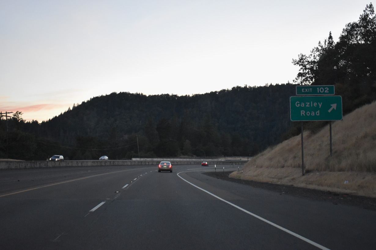
Gazely Road runs east from adjacent Lawson Bar Road and Interstate 5 to Surprise Valley.
07/15/23
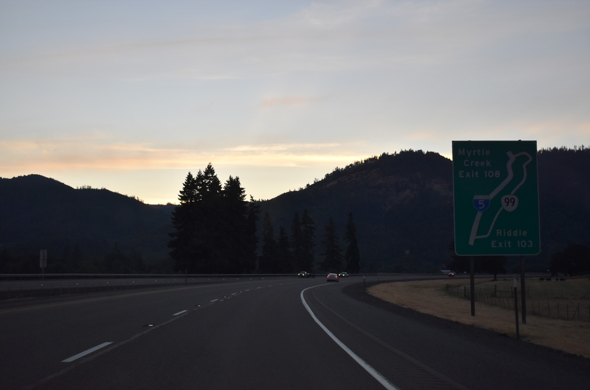
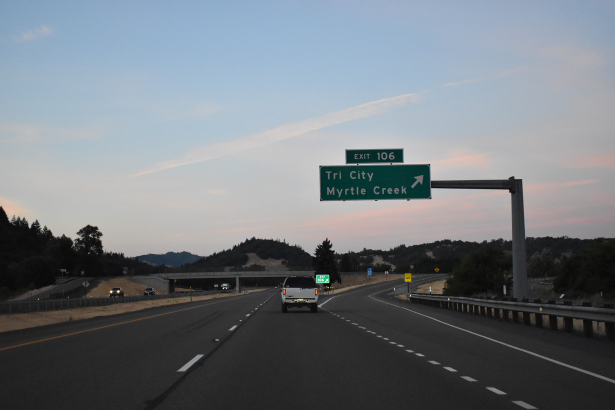
A diagrammatic guide sign outlines the loop into Tri City and the city of Myrtle Creek between Exits 103 and 108. OR 99 is designated along 4.81 miles of Old Pacific Highway and Main Street north from Gael Lane to I-5 northbound.
07/15/23
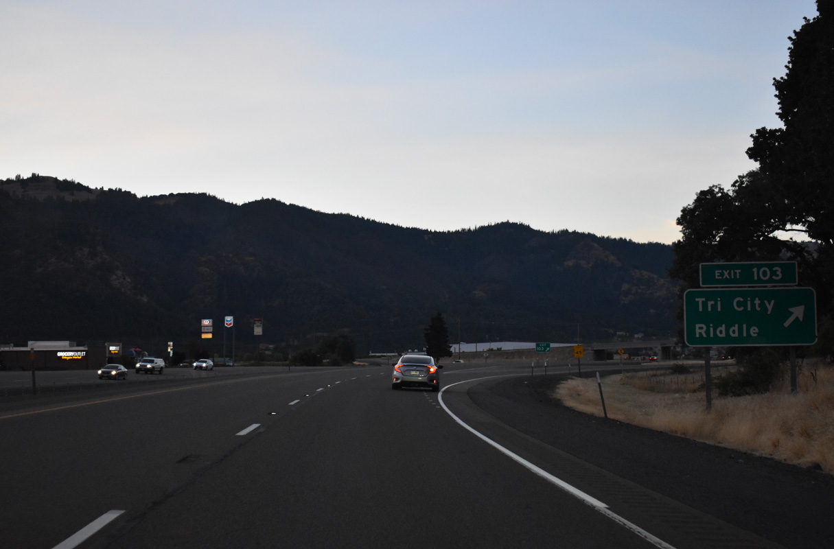
Gael Lane links the parclo interchange at Exit 103 with Old Pacific Highway (OR 99) 0.3 miles to the east. Pruner Road leads west from Interstate 5 to become Riddle Bypass Road south to Main Street in Riddle.
07/15/23
Interstate 5 runs along the west side of the census designated place of Tri City.
07/15/23
Roseburg is 20 miles north of Tri City along Interstate 5.
07/15/23
I-5 crosses the South Umpqua River again ahead of Myrtle Creek Municipal Airport (16S) and the diamond interchange (Exit 106) with Weaver Road.
07/15/23
Weaver Road parallels the Southern Pacific Railroad southwest back to Riddle Bypass and Pruner Roads. East from Exit 107, Weaver Road ties into OR 99 (Old Pacific Highway) at Wecks Road.
07/15/23
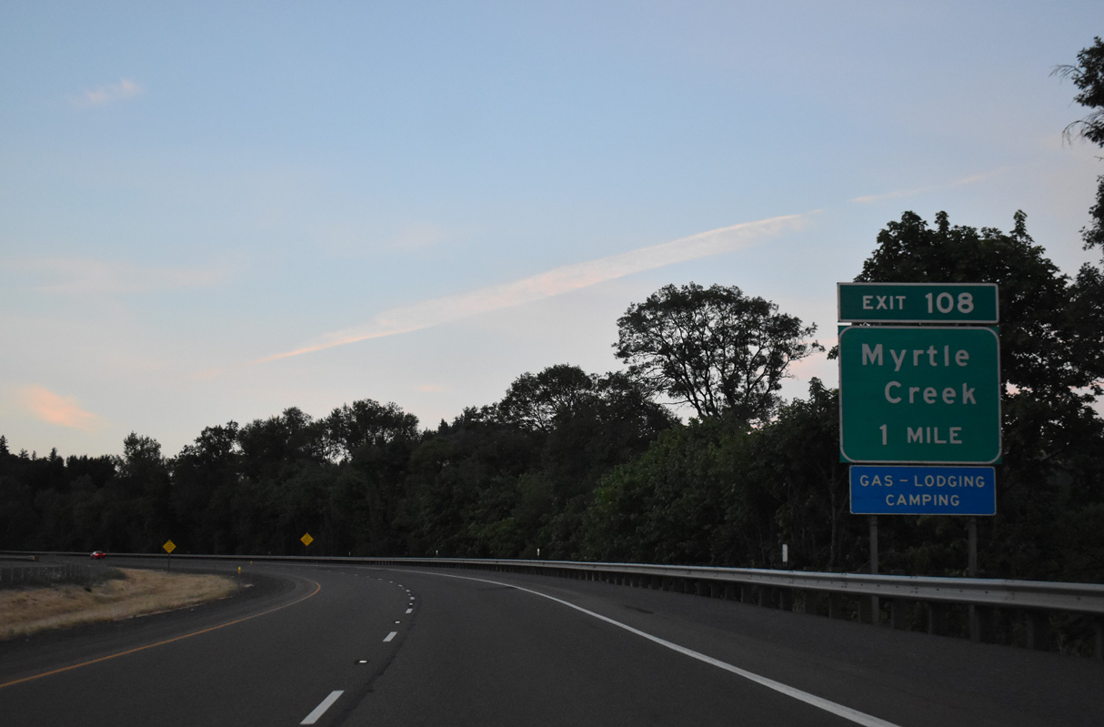
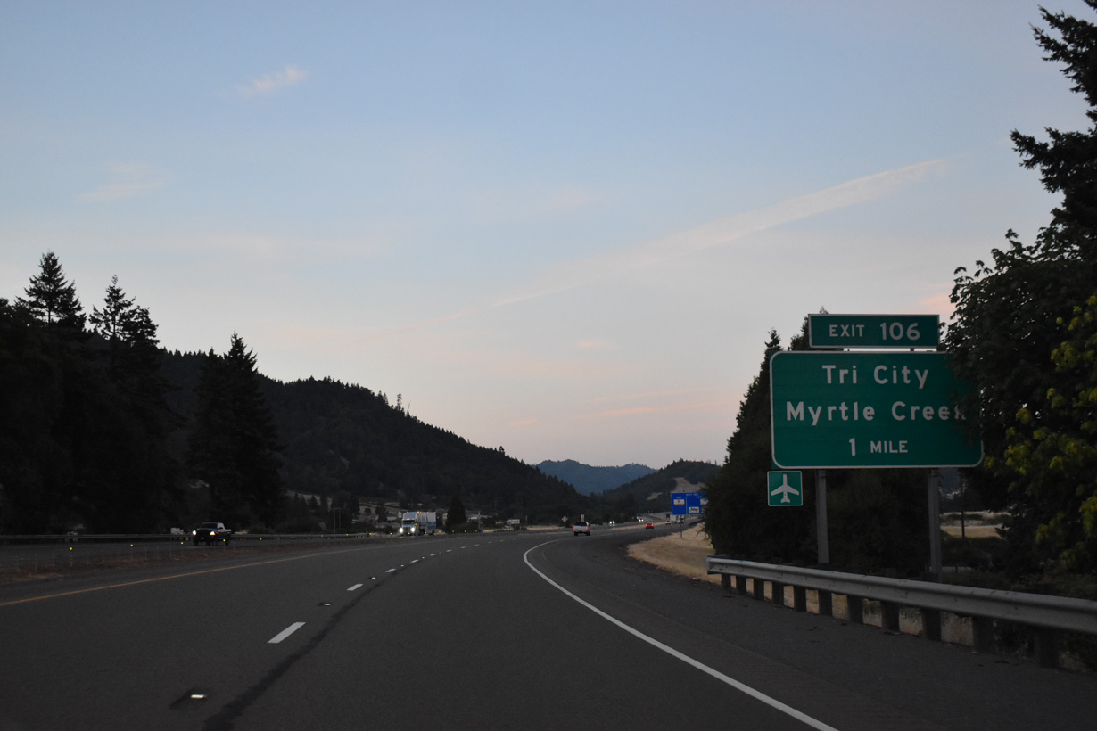
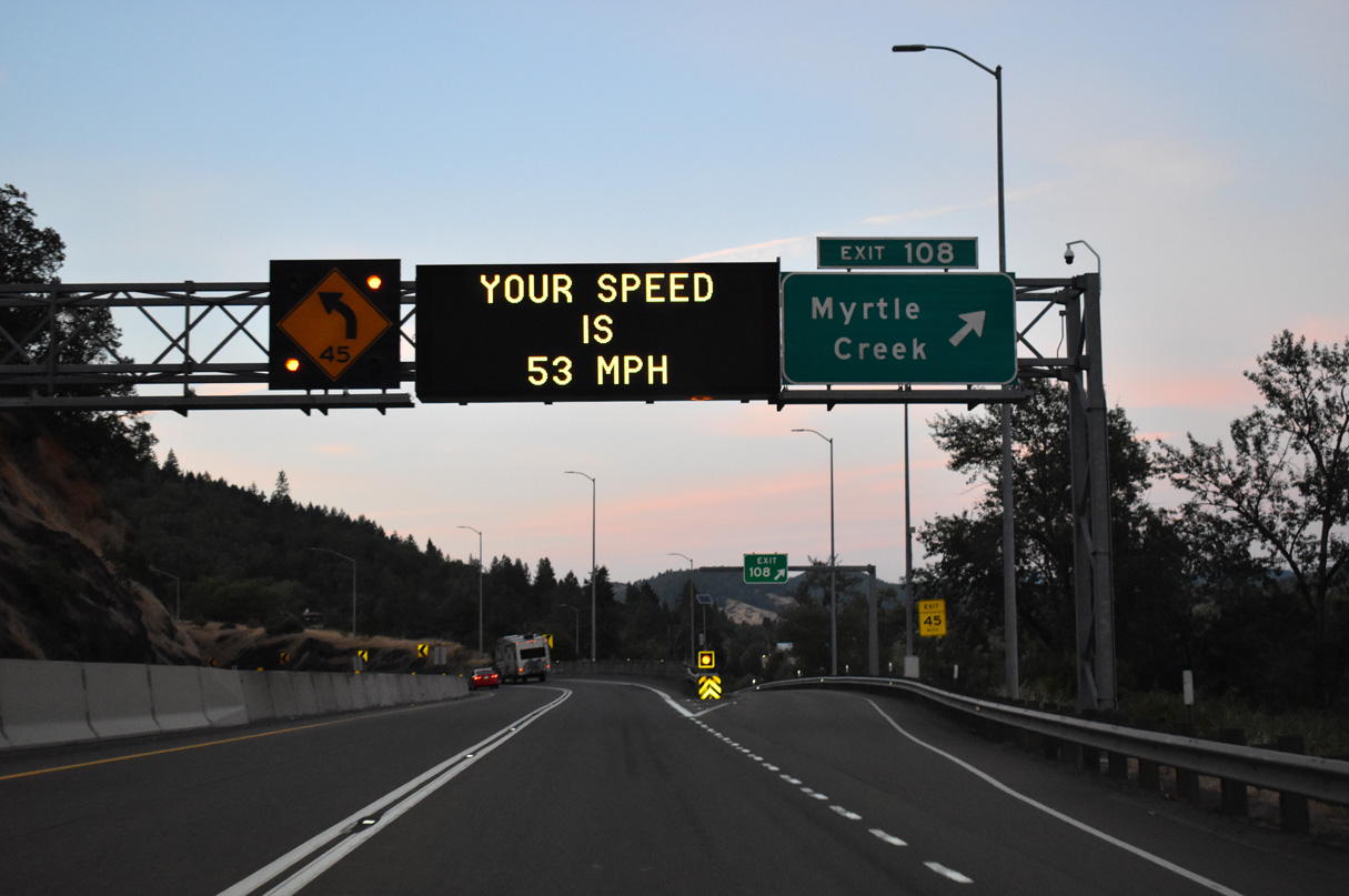
Paralleling the South Umpqua River, Interstate 5 navigates through a series of S-curves north to Exit 108 for OR 99 (N Main Street) into the city of Myrtle Creek.
07/15/23
OR 99 (Main Street) leads east from the trumpet interchange at Exit 108 into Downtown Myrtle Creek. Founded in 1893, Myrtle Creek is home to around 3,500 residents.
07/15/23
Interstate 5 straddles the hillside rising from the south banks of the South Umpqua River along the ensuing stretch northbound.
07/15/23
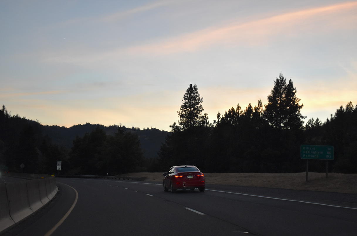
Springfield is 84 miles to the north of Myrtle Creek.
07/15/23
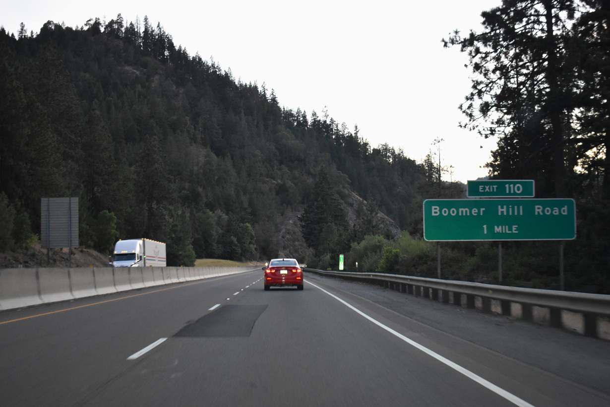
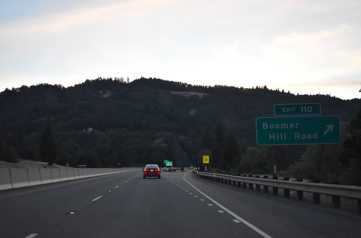
Interstate 5 northbound next meets Boomer Hill Road at a diamond interchange (Exit 110).
07/15/23
Boomer Hill Road follows Van Dine Creek southwest onto Boomer Hill.
07/15/23
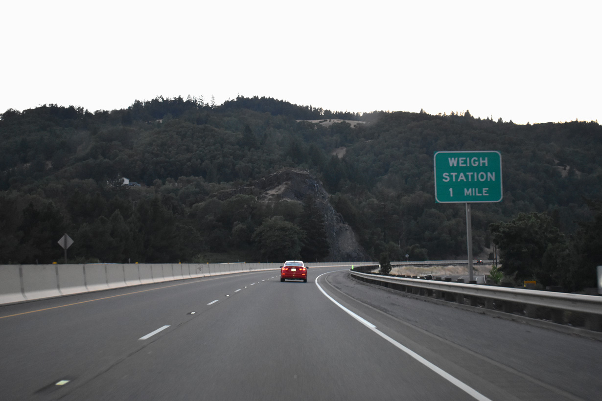
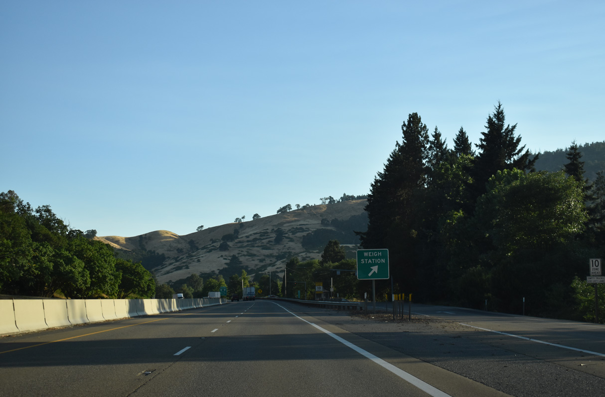
A northbound weigh station operates along Interstate 5 at mile marker 111.
07/15/23
07/16/23
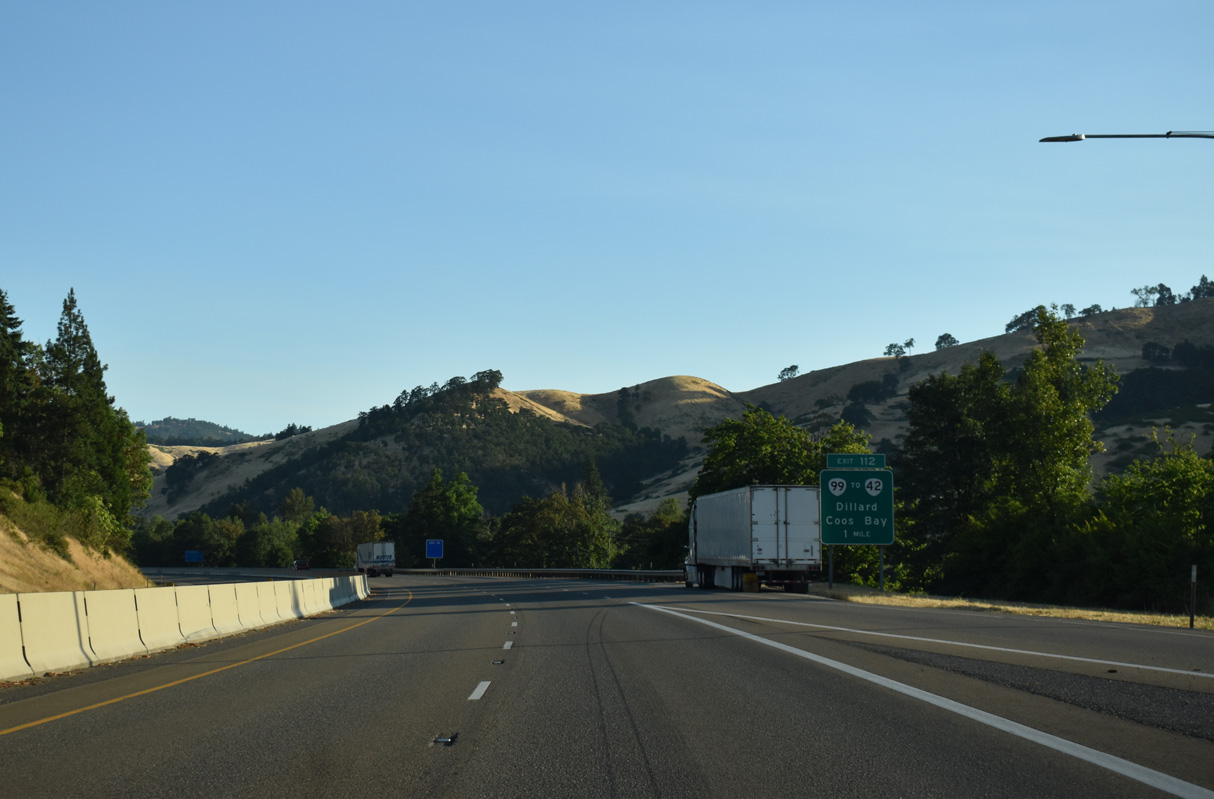
OR 99 separates with I-5 from the folded diamond interchange at Exit 112 along Dillard Highway. OR 99 follows Dillard Highway northwest 8.3 miles through Dillard to OR 42 (Coos Bay-Roseburg Highway) at Winston.
07/16/23
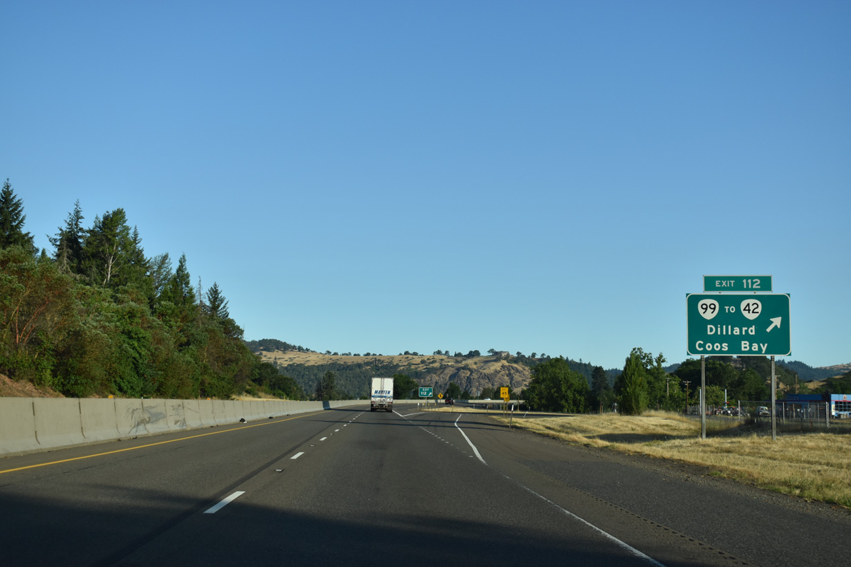
OR 99 provides a cutoff from I-5 north for OR 42 (Coos Bay-Roseburg Highway). OR 42 travels west from Winston 71 miles across the Coast Ranges to U.S. 101 south of Coos Bay.
07/16/23
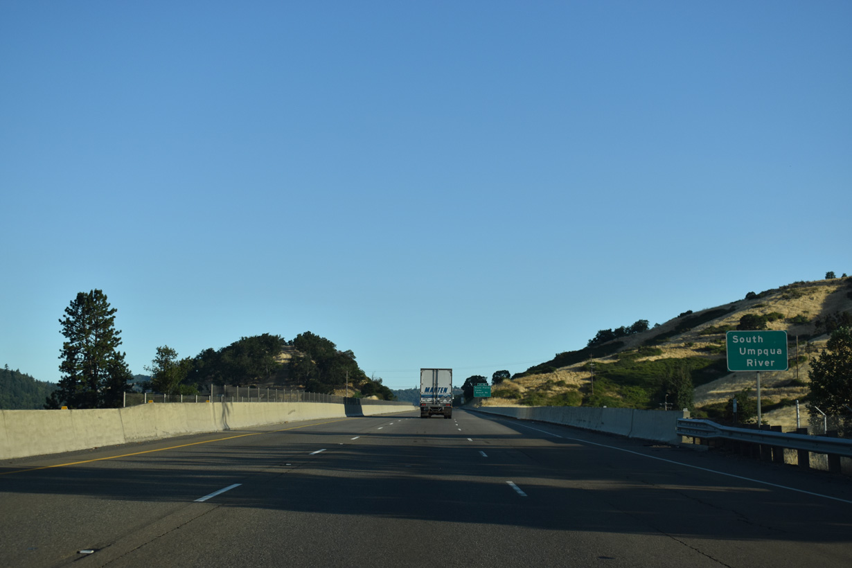
Interstate 5 crosses the South Umpqua River for the third time north from Exit 113. The bridge also spans the Southern Pacific Railroad and Dole Road.
07/16/23
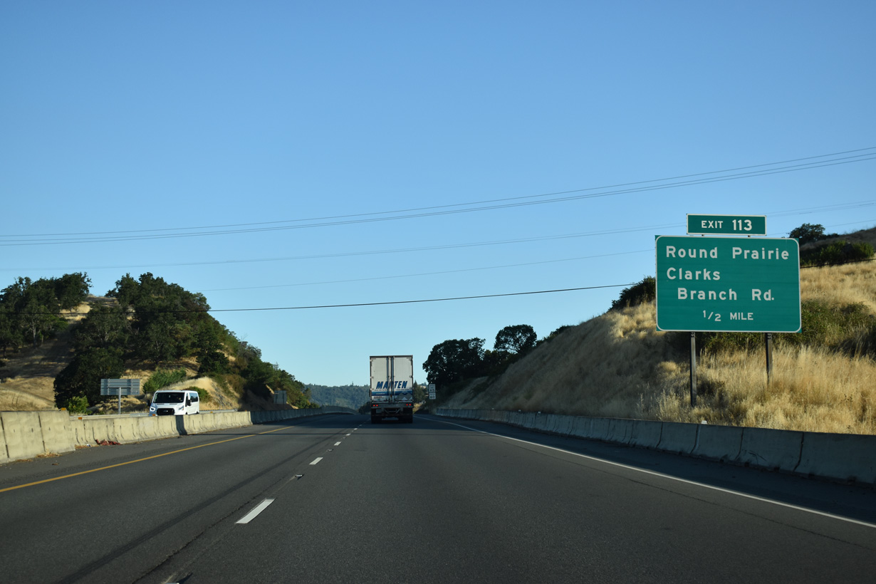
Clarks Branch Road meets Interstate 5 at a diamond interchange (Exit 113) adjacent to Dole Road.
07/16/23
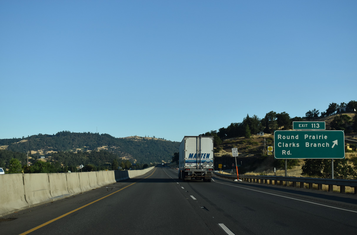
Clarks Branch Road travels east from Dole Road into the nearby mountains. Dole Road parallels the freeway northward to Roberts Mountain Road and the unincorporated community of Round Prairie.
07/16/23
Interstate 5 advances north along the east side of Round Prairie.
07/16/23
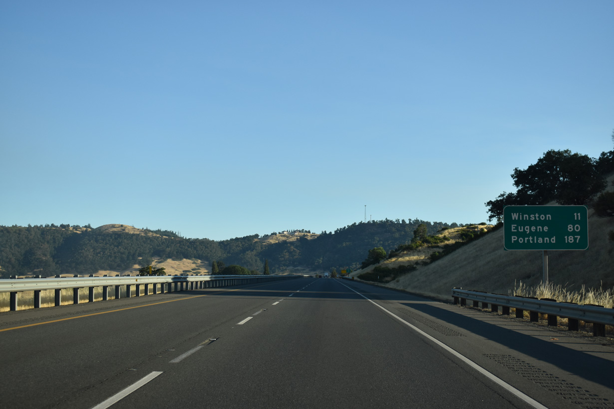
Downtown Portland is 186 miles to the north of Round Prairie.
07/16/23
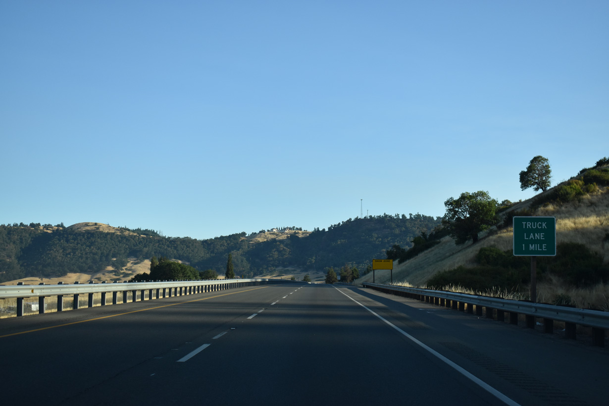
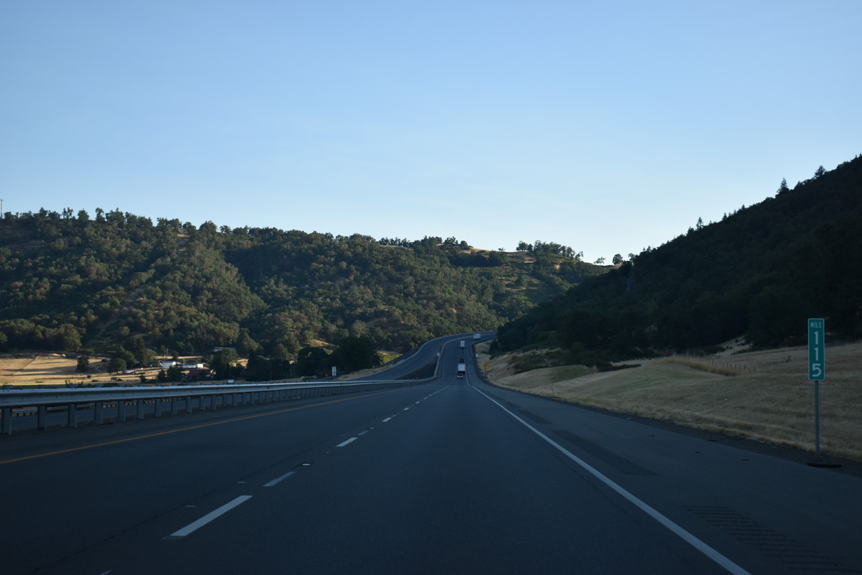
A truck climbing lane opens along Interstate 5 north into the Roberts Mountains.
07/16/23
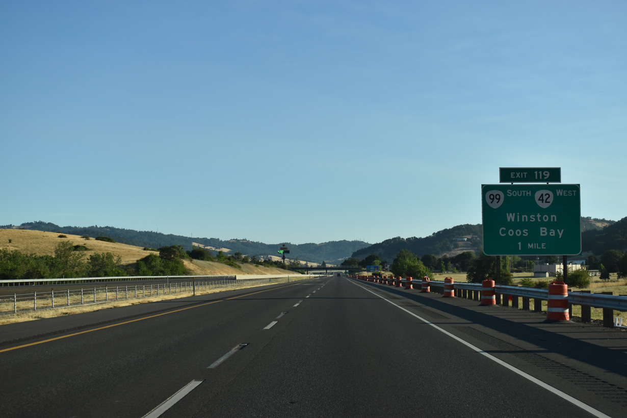
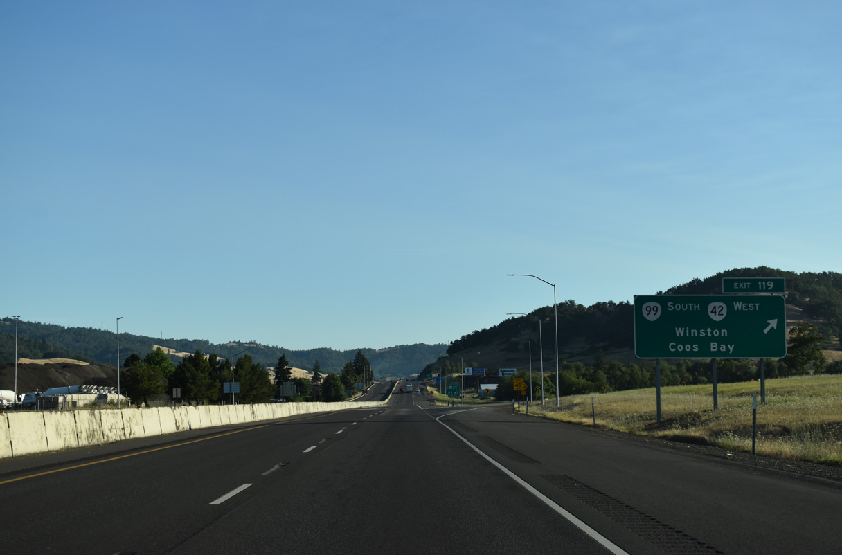
The east end of OR 42 (Coos Bay-Roseburg Highway) ties into the trumpet interchange at Exit 119.
07/16/23
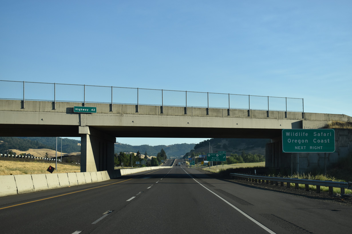
OR 42 follows most of the Coos Bay-Roseburg Highway west from Exit 119 to U.S. 101 south of Coos Bay and the Pacific Ocean.
07/16/23
OR 99 overlaps with OR 42 southwest 2.85 miles from Grant Smith Road nearby to Douglas Boulevard in Downtown Winston.
07/16/23
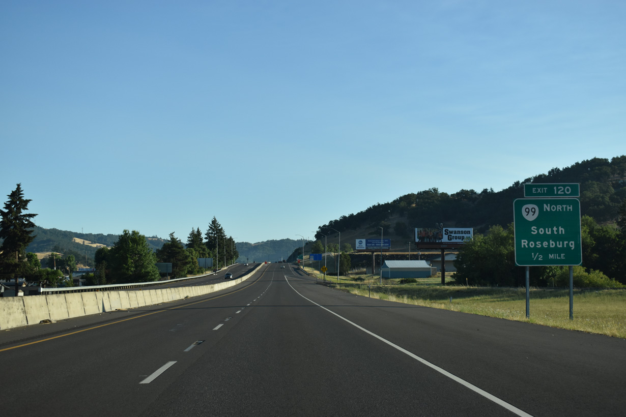
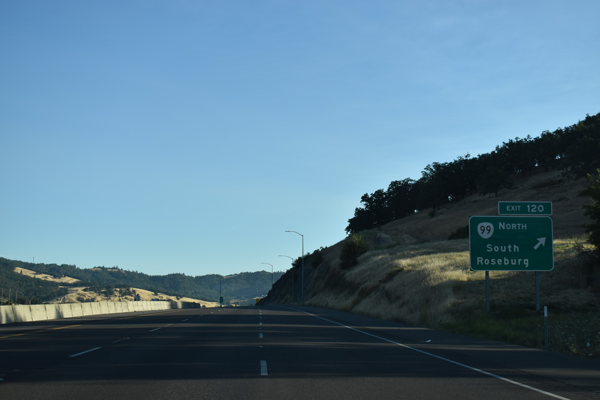
OR 99 branches north from OR 42 to cross Interstate 5 at Exit 120 en route to the Douglas County seat of Roseburg.
07/16/23
OR 99 (Coos Bay-Roseburg Highway) follows the South Umpqua River north into Roseburg, where the state route separates into the couplet of Stephens Street north and Pine Street south ahead of Downtown.
07/16/23
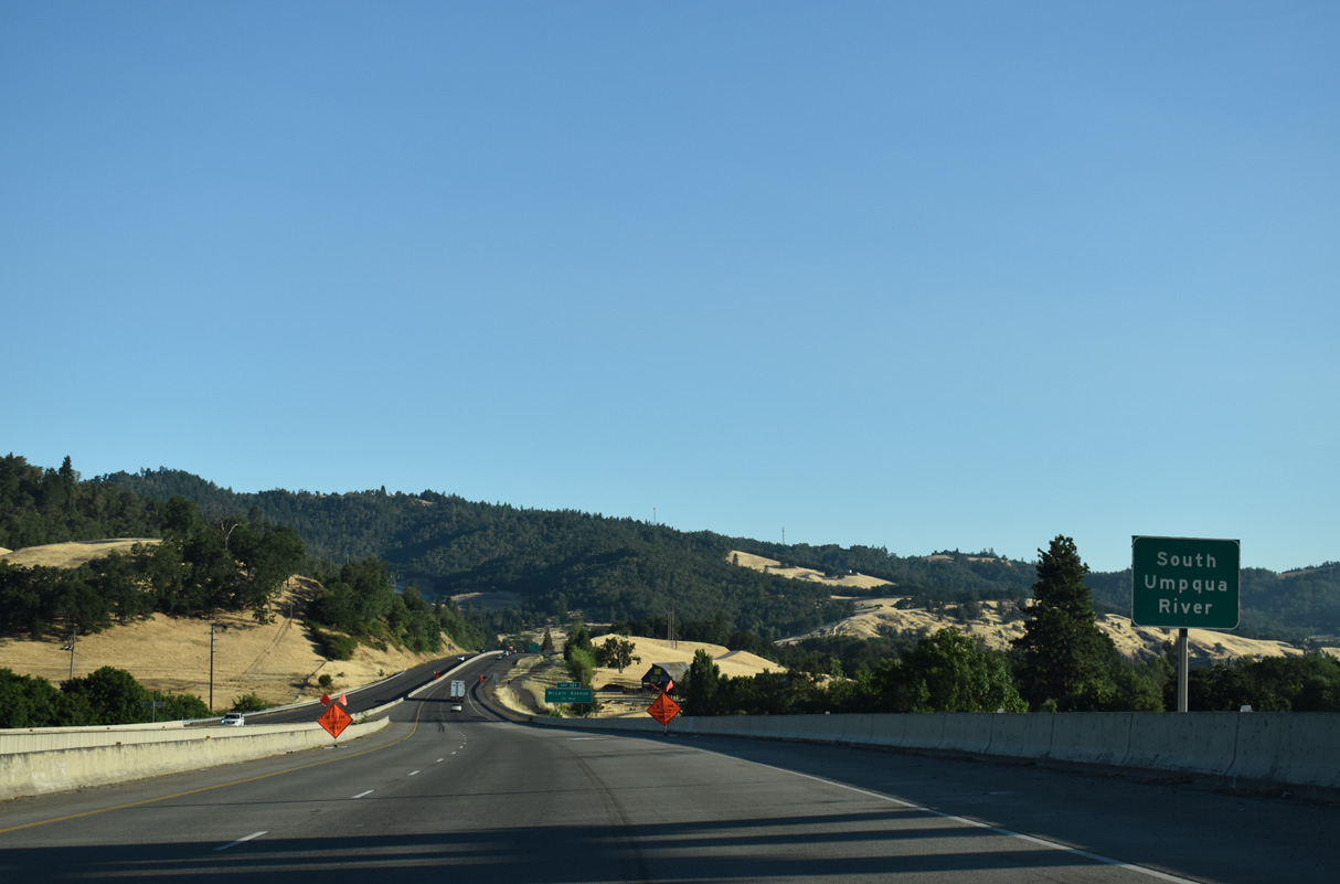
Interstate 5 crosses the South Umpqua River for a fourth time west of Burg Mountain and east of Green.
07/16/23
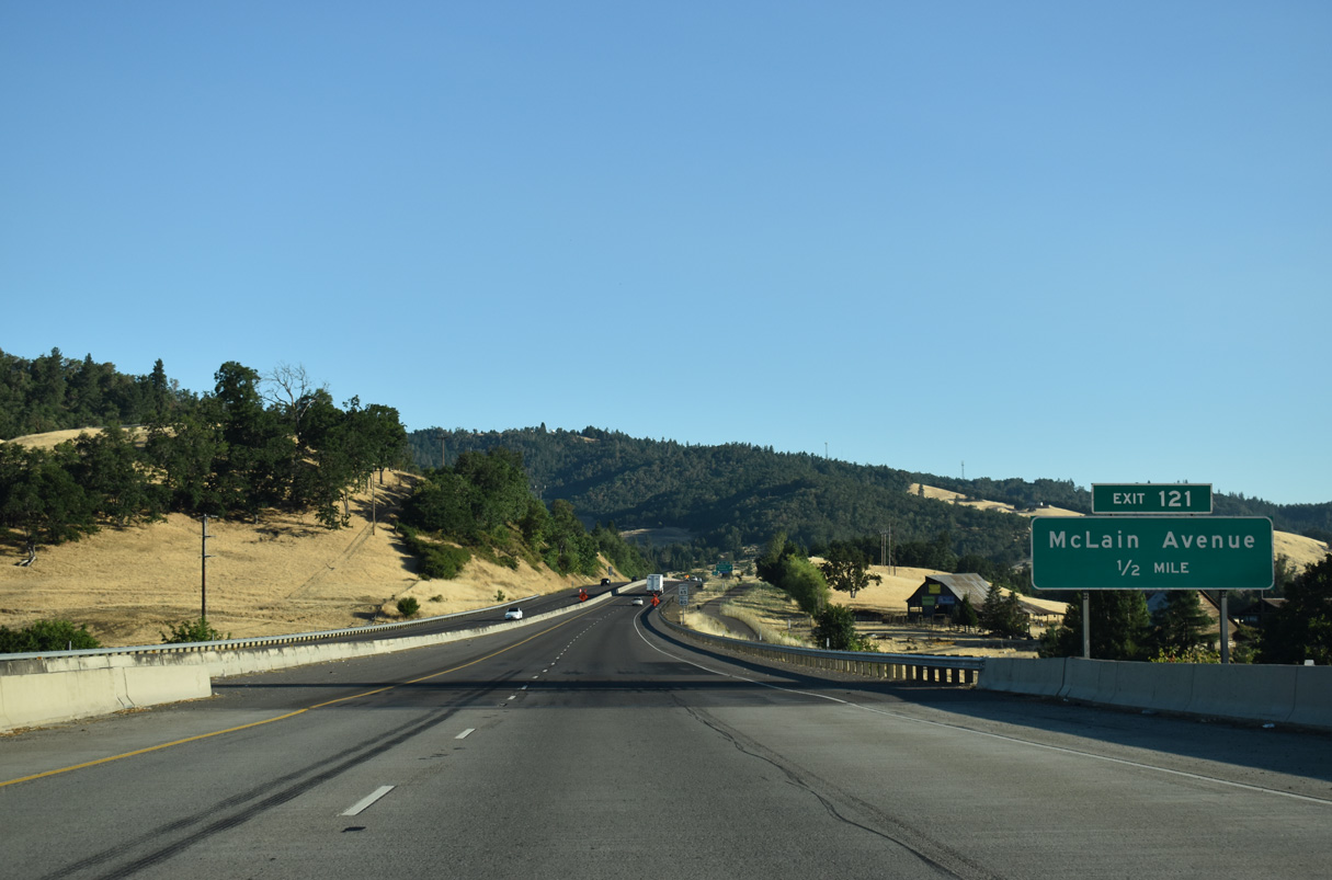
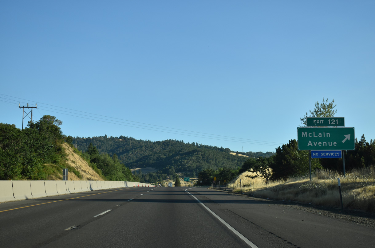
Exit 121 departs Interstate 5 northbound onto an adjacent frontage road ahead of McLain Avenue outside Roseburg.
07/16/23
McLain Avenue links the freeway with the Douglas County Landfill and Chewaucan Lane to the west.
07/16/23
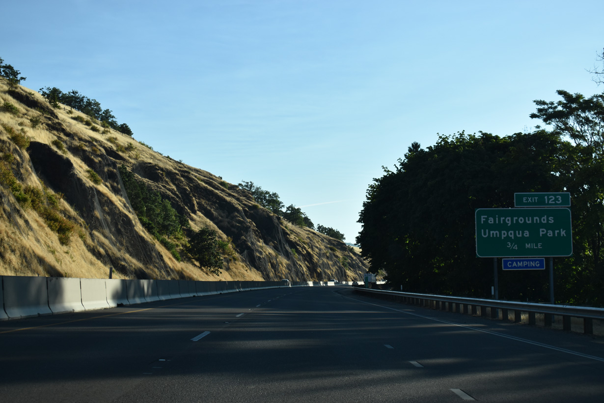
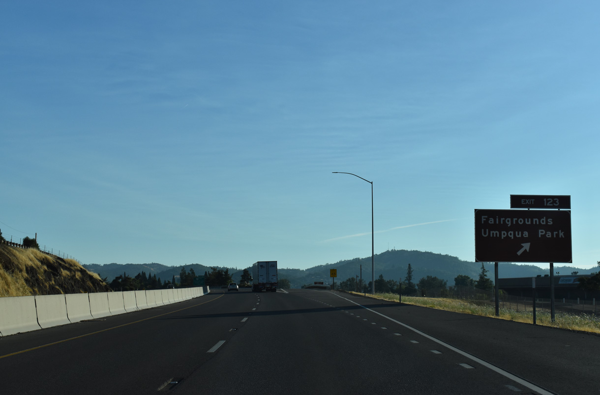
The diamond interchange (Exit 123) with Portland Avenue serves the adjacent Douglas County Fairgrounds and Umpqua Park between Interstate 5 and the South Umpqua River.
07/16/23
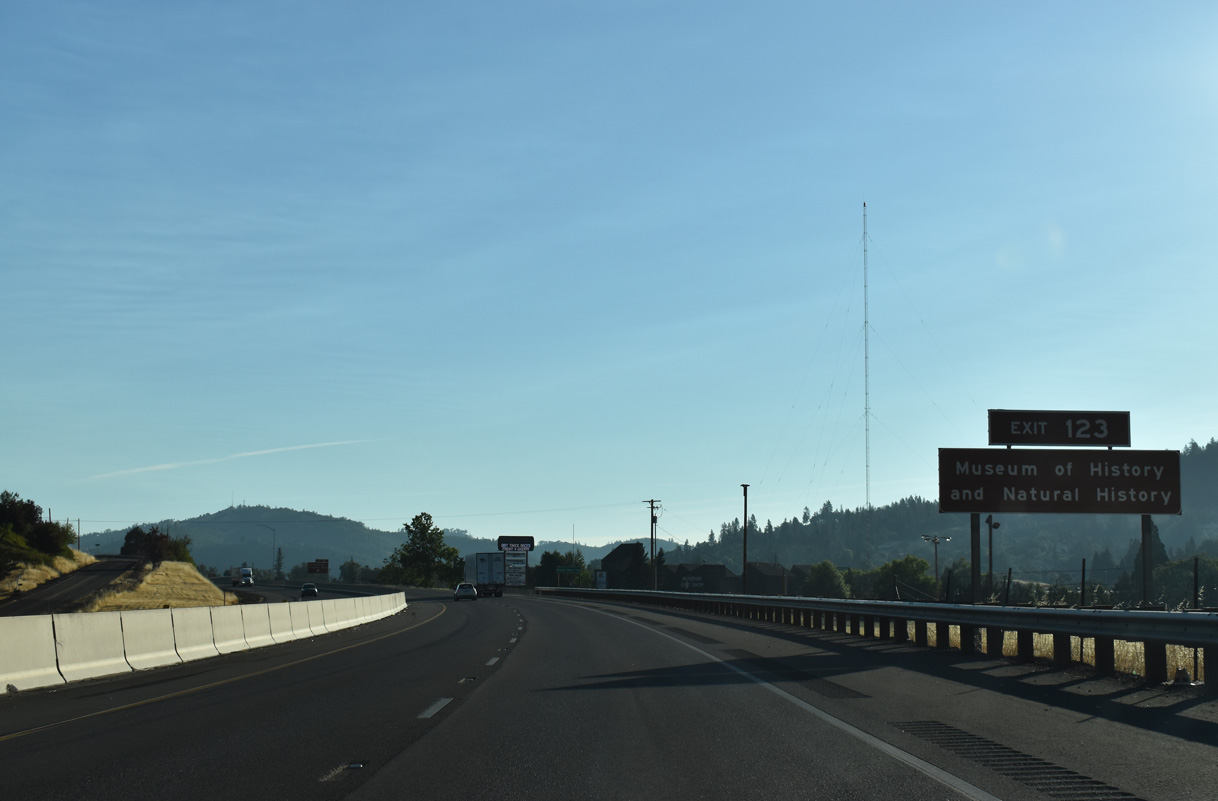
The Douglas County Museum lies south of Portland Avenue off Frear Street adjacent to Interstate 5 by Exit 123.
07/16/23
Heritage Way and Corvallis Avenue tie into the exchange at Exit 123 from south of Mount Nebo to the west.
07/16/23
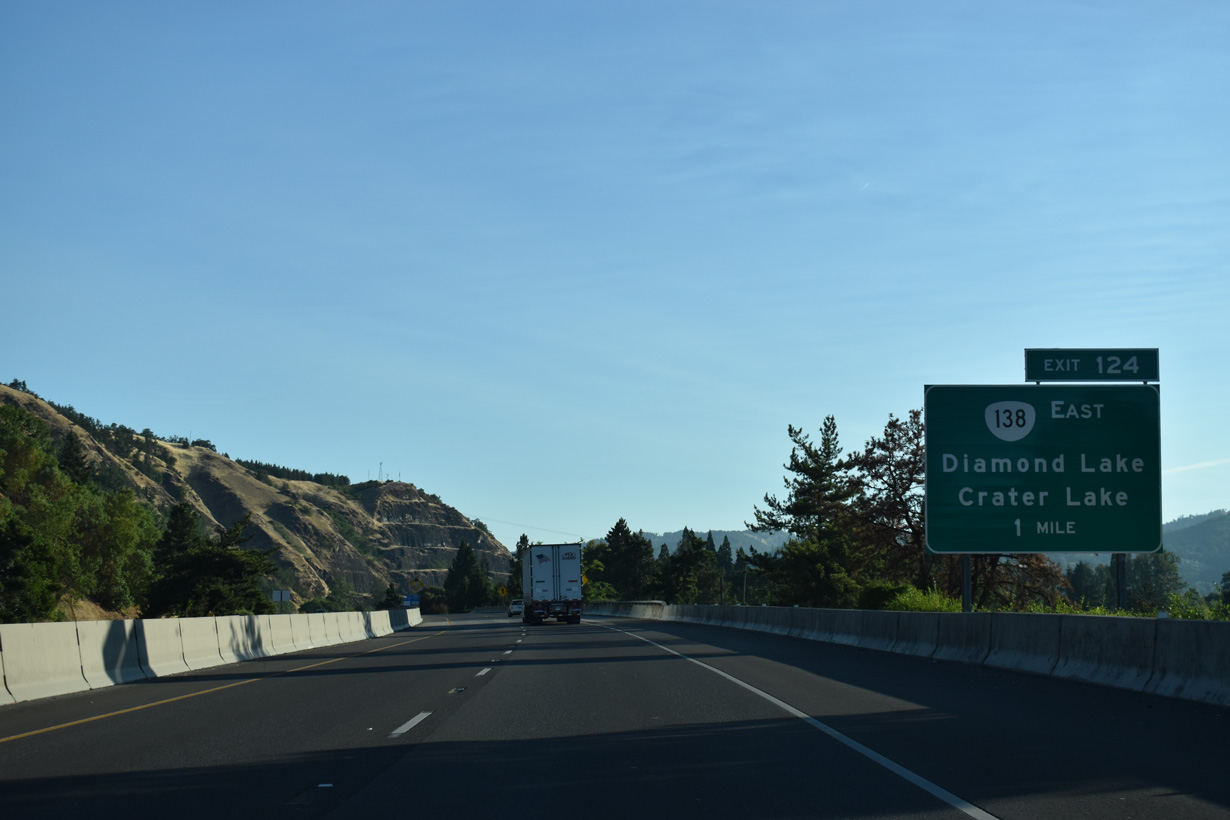
Interstate 5 enters the Roseburg city limits at the parclo interchange (Exit 124) with OR 138 (Harvard Avenue) in one mile. OR 138 provides a direct route into Downtown Roseburg along the couplet of Oak Street east and Washington Street west.
07/16/23
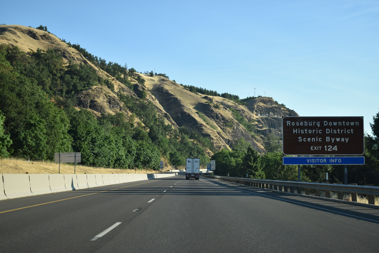
OR 138 overlaps with OR 99 along Stephens Street north out of Downtown to Diamond Lake Boulevard east. An Oregon Scenic Byway, OR 138 continues 71 miles east from Roseburg to Diamond Lake.
07/16/23
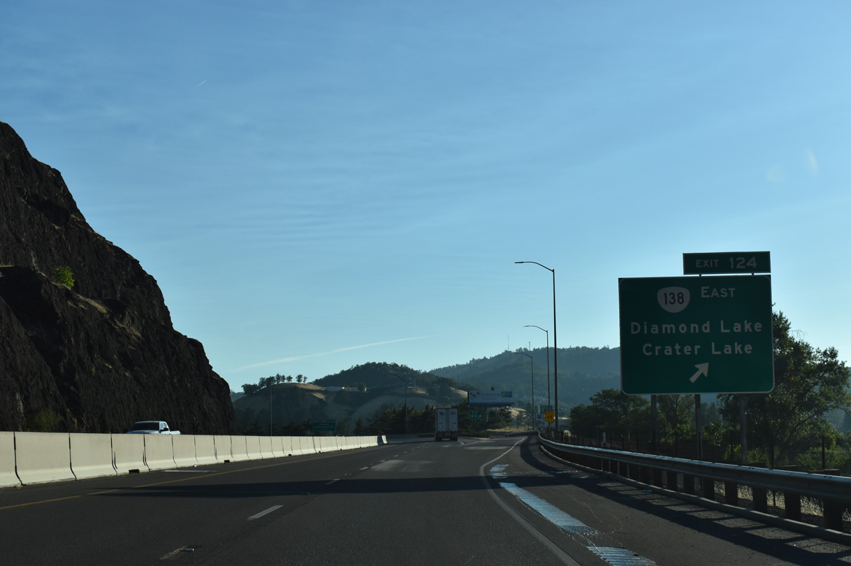
Exit 124 leaves Interstate 5 northbound for OR 138 (Harvard Boulevard) east in Roseburg. Harvard Avenue extends west as a five lane boulevard to Lookingglass Road in southwest Roseburg.
07/16/23
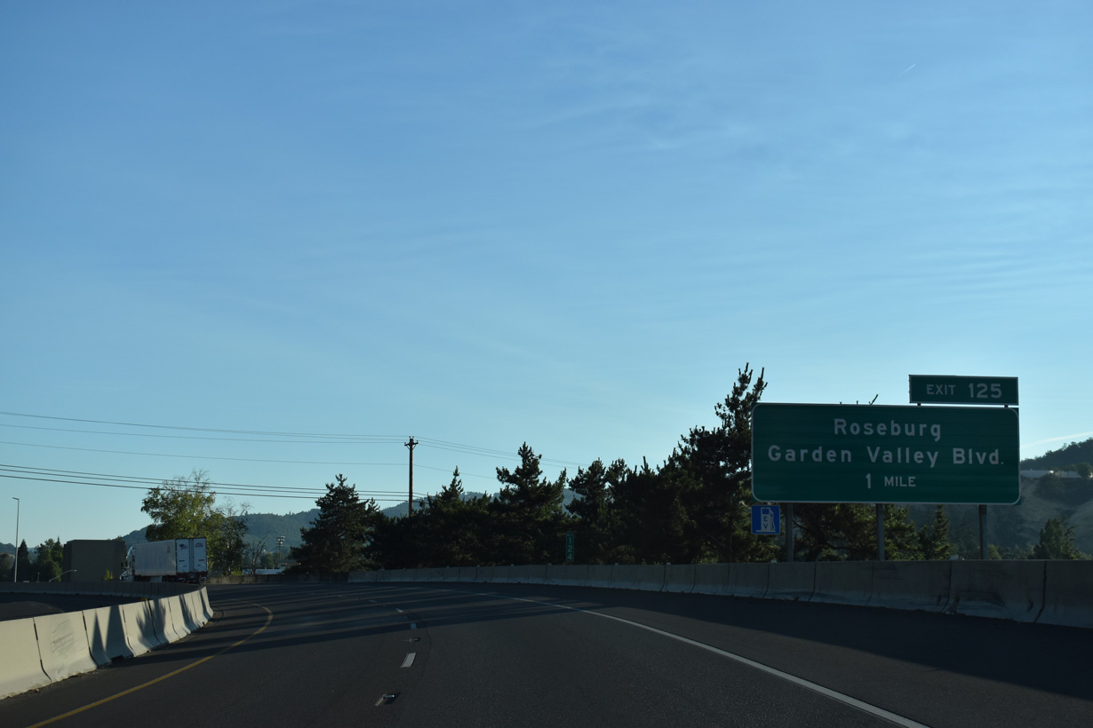
The ensuing exit lies north of the Umpqua River with Garden Valley Boulevard in north Roseburg.
07/16/23
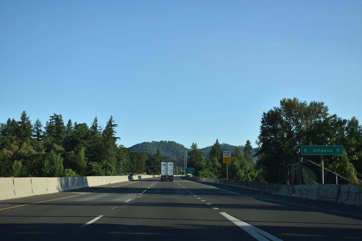
Interstate 5 crosses the South Umpqua River for the fifth and final time between Riverfront Park and Gaddis Park.
07/16/23
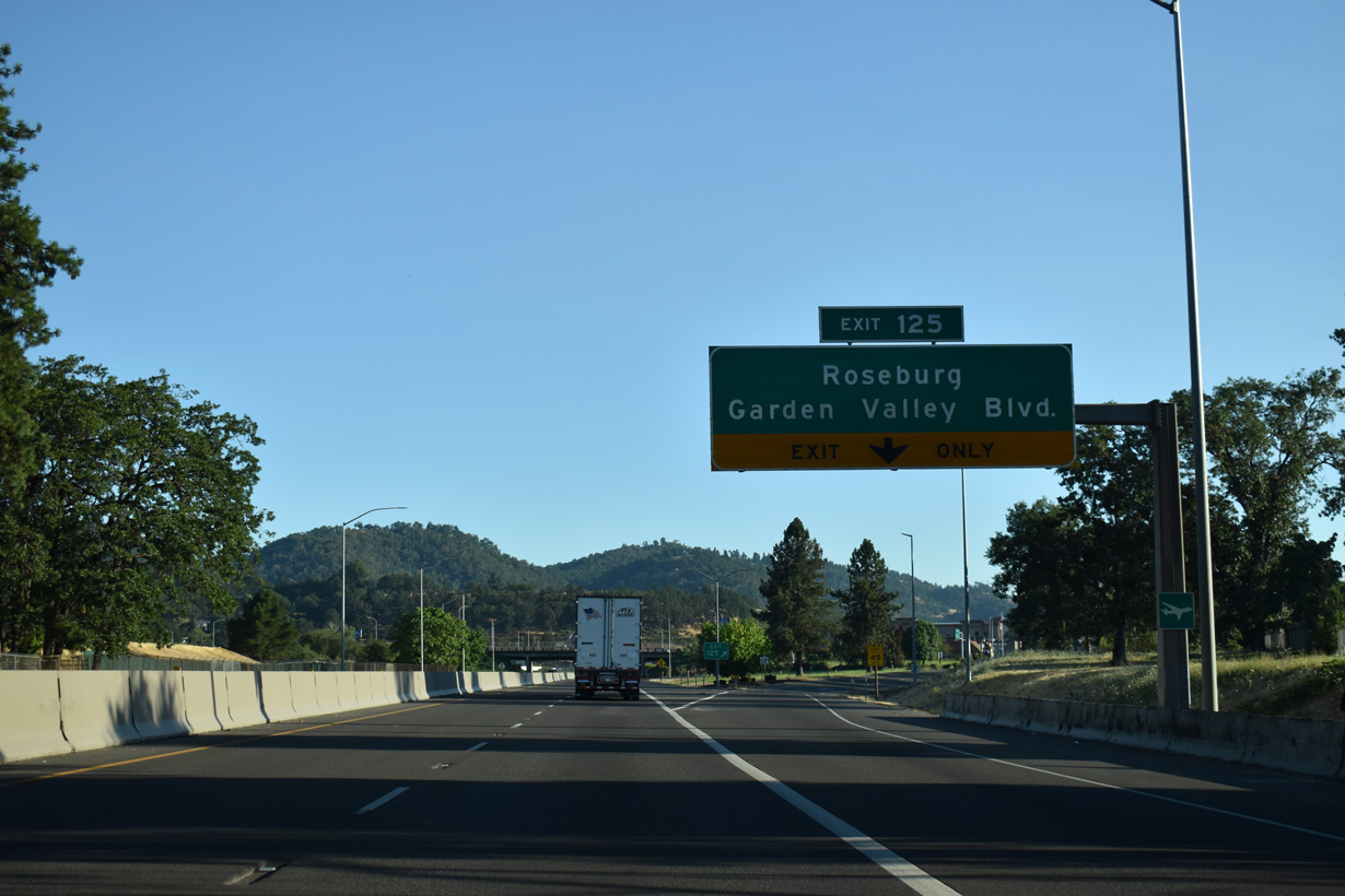
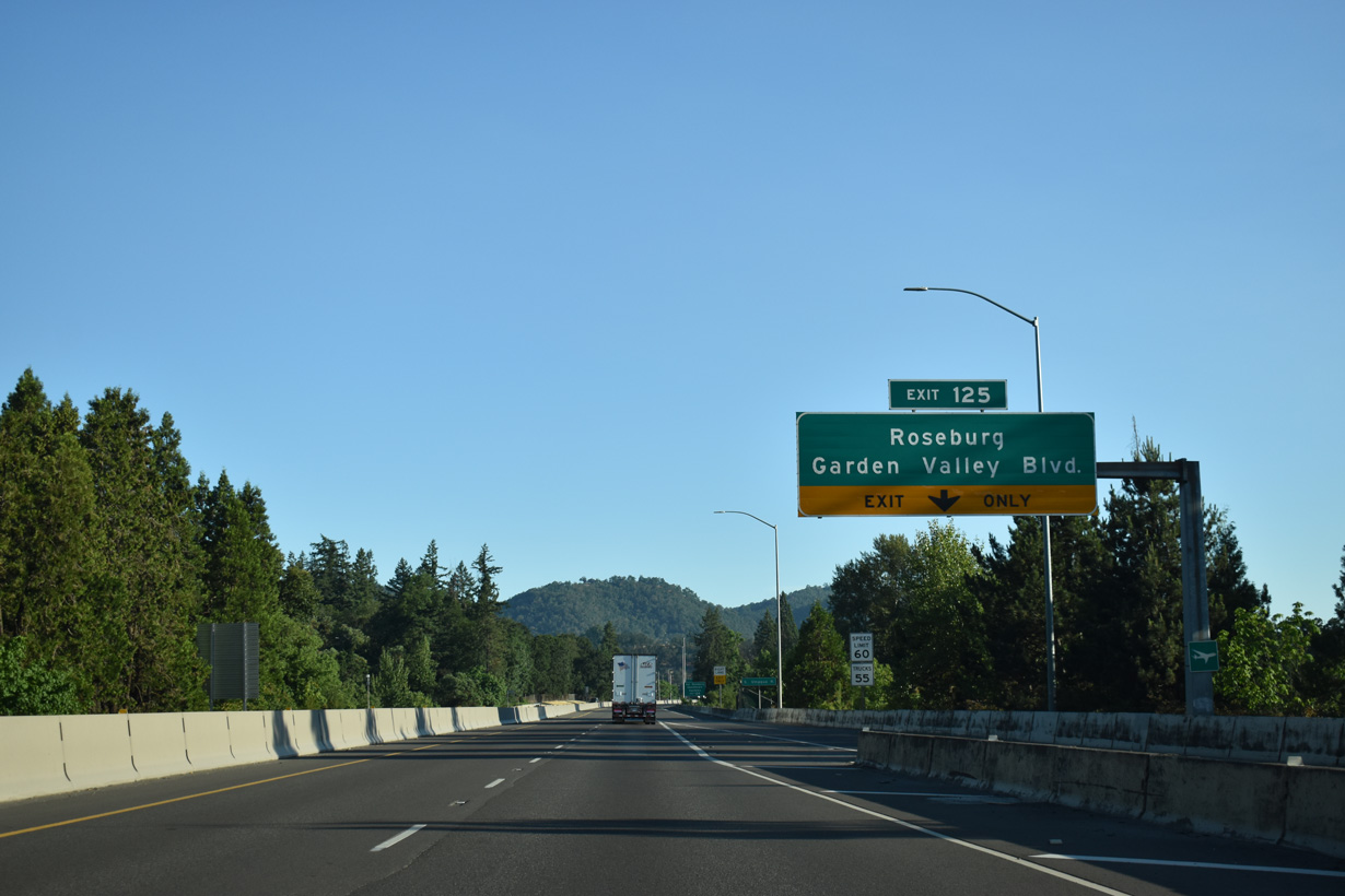
The six-ramp parclo interchange (Exit 125) lies midway along a commercialized stretch of Garden Valley Boulevard between OR 99 (Stephens Street) and Stewart Parkway.
07/16/23
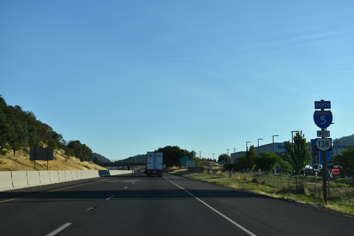
OR 138 west combines with I-5 north for a 12.4 miles to Sutherlin.
07/16/23
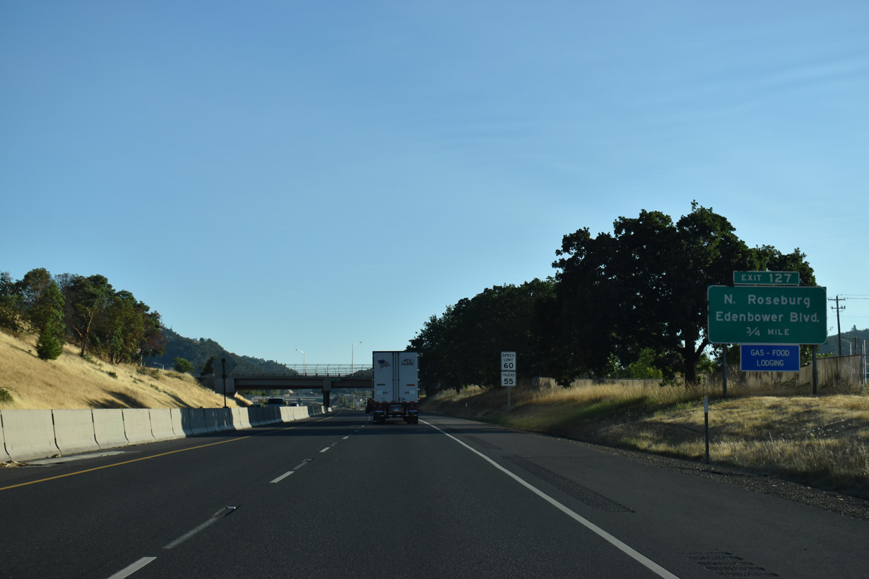
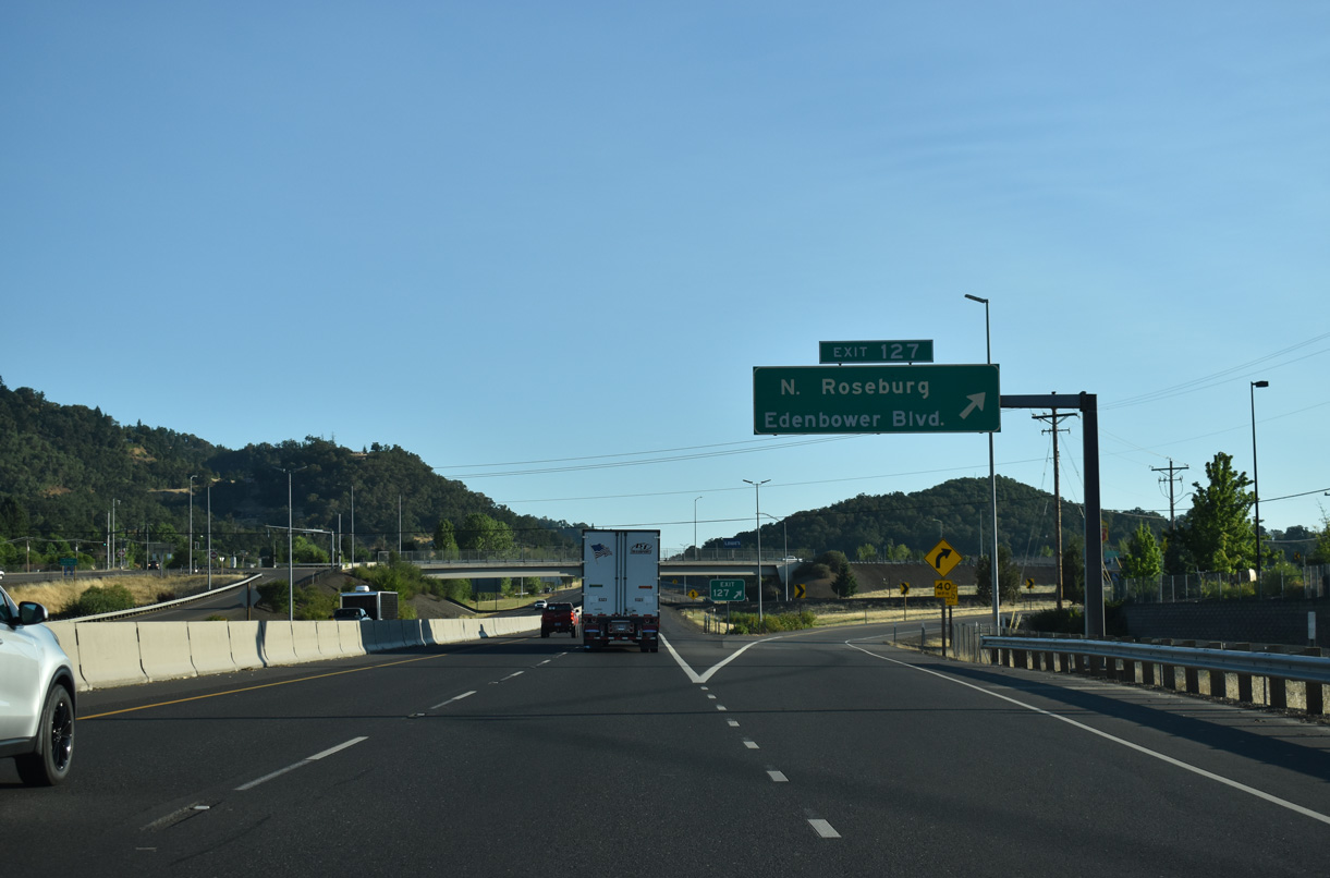
Continuing through north Roseburg, I-5/OR 138 run along the west side of Roseburg Regional Airport (RBG) to Edenbower Boulevard at Exit 127.
07/16/23
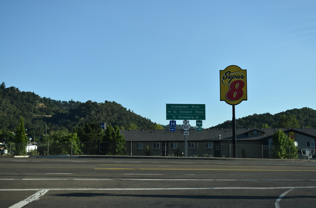
Edenbower Boulevard arcs north of Roseburg Regional Airport (RBG) between Broad Street and OR 99 (Stephens Street). Continuing south, Edenbower Boulevard parallels Interstate 5 to Stewart Parkway.
07/16/23


References:
Oregon Route 227. (2023, September 10). In AARoads Wiki. Retrieved August 18, 2025, from https://wiki.aaroads.com/wiki/Oregon_Route_227
Photo Credits:
- Brent Ivy: 07/15/23, 07/16/23
Connect with:
Page Updated Monday August 18, 2025.