
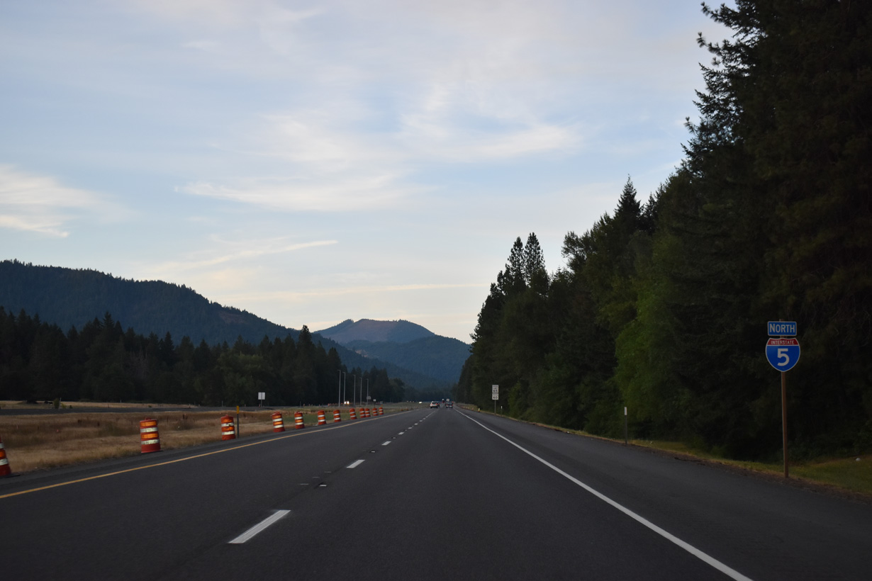
Interstate 5 North - Grants Pass to Glendale

West of Central Point, Interstate 5 travels toward Gold Hill, Rogue River and Grants Pass. The freeway turns north at U.S. 199 in Grants Pass.
The city of Grants Pass began in 1865 as the site of a stage station and post office. The site was named "Grant" in honor of Union General Ulysses S. Grant, however that would quickly be changed as another Grant, Oregon already existed at the time. At the same time a new roadway linking the area with Merlin to the north was constructed. Crews working on the project suggested calling the road over the pass of Merlin Hill, Grant's Pass. The name caught on and eventually encompassed the post office. In 1883 the Southern Pacific Railroad line entered the valley and the community of Grants Pass grew. Expansion of Grants Pass followed as the town prospered as a shipping center. Incorporation followed in 1885 at the same time Grants Pass became the seat of government for Josephine County.

Interstate 5 passes just south of the Gold City line adjacent to the Rogue River.
05/28/06

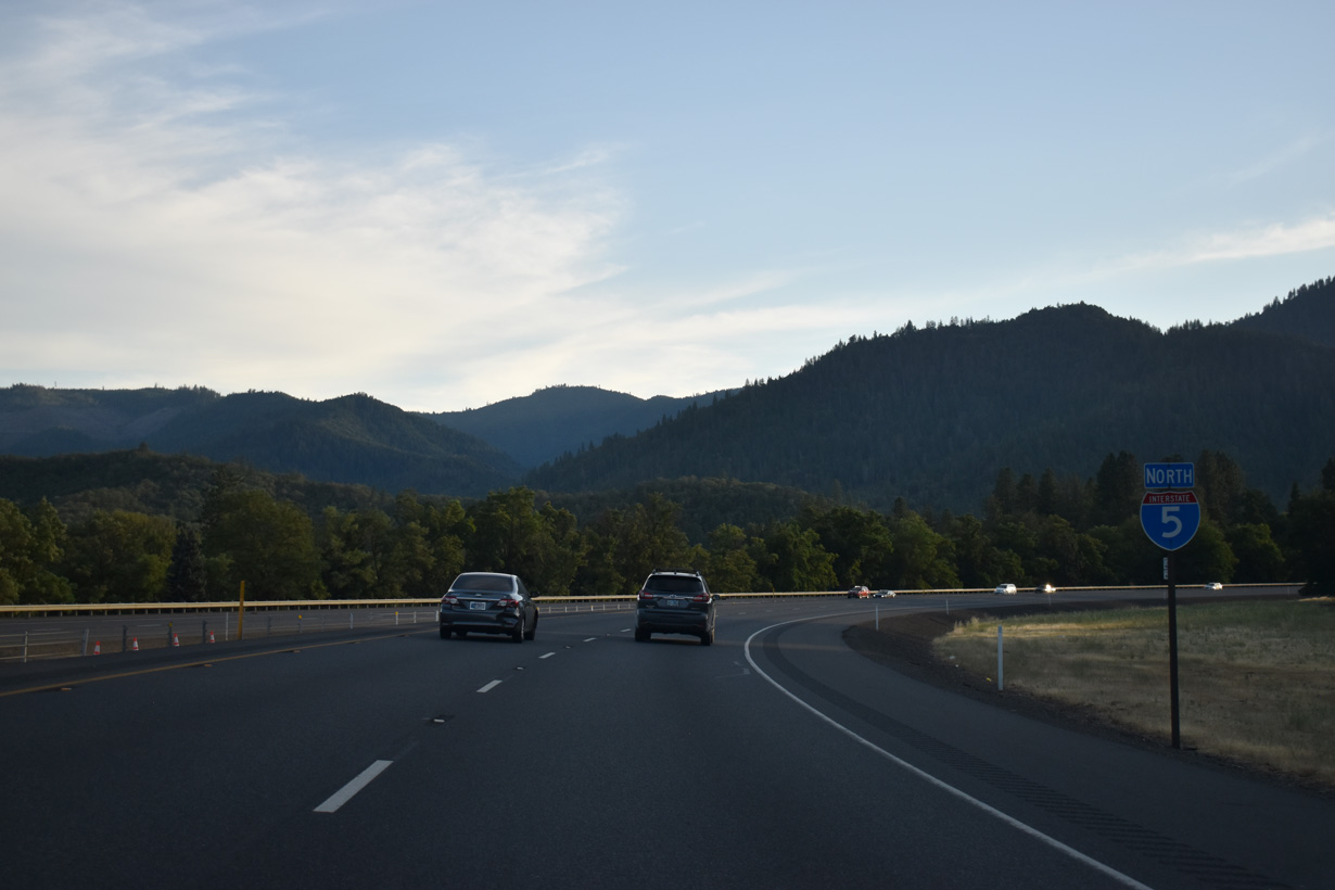
I-5 and nearby OR 99 parallel the Rogue River west from Gold Hill to the Josephine County line and Grants Pass. Salem, Oregon debuts on distance signs at 216 miles out.
07/15/23

OR 99 heads west from Gold Hill to Rock Point, where the highway turns south across Rogue River on a concrete arch bridge built in 1920. ODOT signs OR 99 east from the access road at Exit 43 to Gold Hill dually with OR 234, despite inventorying the Gold Hill Spur from Exit 40 as OR 234.
05/28/06

OR 234 west ends at the diamond interchange (Exit 43) with Interstate 5 between OR 99 (Rogue River Highway) and Profetta Lane.
07/15/23

Although not acknowledged from I-5 northbound at Exit 43, OR 234 travels 17.48 miles overall between Exit 43 and OR 62 east of Sams Valley.
05/28/06

OR 99 (Rogue River Highway) crosses paths with Interstate 5 again at a folded diamond interchange (Exit 45 A) adjacent to the Rogue River.
07/15/23

Located along the north bank of the Rogue River off Exit 45 B, Valley of the Rogue State Park acts as a rest area for Interstate 5 travelers.
07/15/23

Staying south of the Rogue River, OR 99 continues west from Exit 45 A to Foots Creek, to the city of Rogue River and Grants Pass.
07/15/23

Interstate 5 crosses the Rogue River southwest ahead of the folded diamond interchange (Exit 45 B) with the access road to Valley of the Rogue State Park.
07/15/23

Exit 45 B loops away from I-5 northbound to Valley of the Rogue State Park and North River Road. North River Road runs east back to OR 99/234 at Rock Point and west to the city of Rogue River.
07/15/23

The Rogue River derives its name from native Americans that settled along the banks. Trappers and traders later settled in the valley and the discovery of gold in 1851 brought thousands of miners to the area. Gold mining prospered here with over $70 million of the precious metals taken. Once the gold reserves tapped out, the economic staple of the area switched to agriculture.
07/15/23
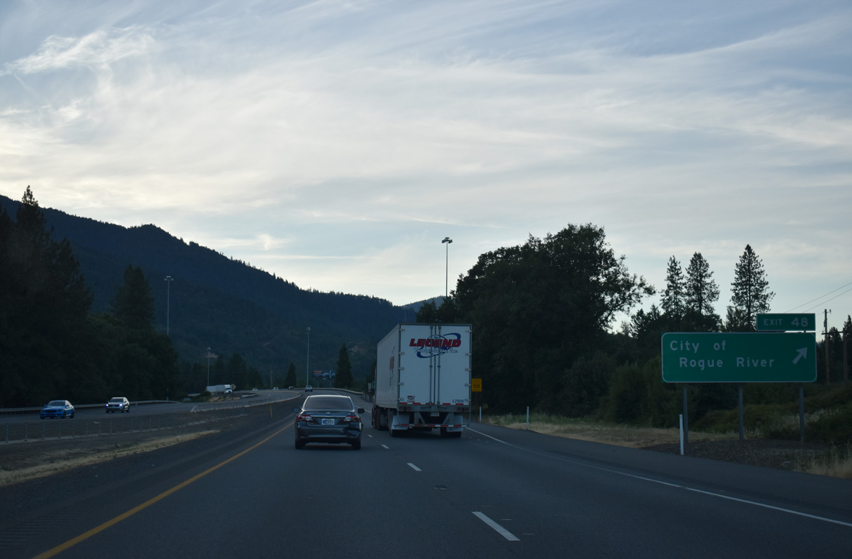
Interstate 5 runs between the Rogue River and the Central Oregon & Pacific Railroad northwest into the city of Rogue River.
07/15/23
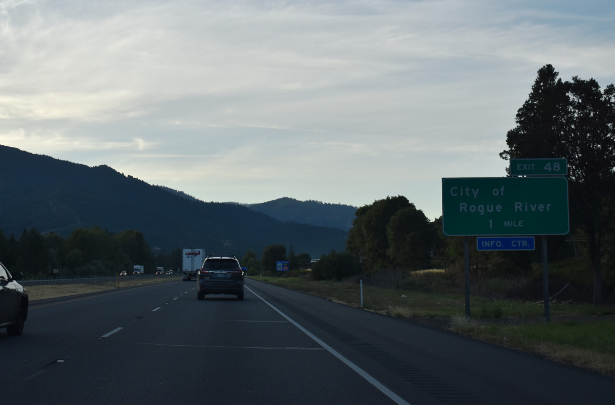
The diamond interchange (Exit 48) with Depot Street links I-5 with OR 99 (Rogue River Highway) and Main Street in Downtown Rogue River. Pine Street and West Evans Creek Road head north into the adjacent mountains.
07/15/23
Guide signs for Exit 48 previously referenced the Savage Rapids Dam. The barrier was formerly located four miles east of Grants Pass nearby. The controversial dam was constructed by the U.S. Bureau of Reclamation to serve the Grants Pass Irrigation District. Opponents of the structure advocated for its removal, claiming that the blockage was detrimental to the passage of salmon and steelhead. Federal legislation concurring with the claim was passed and the dam was fully removed by 2009 and replaced with pumps.
07/15/23
Interstate 5 leaves the city of Rogue River west at the viaduct spanning the Central Oregon & Pacific Railroad and Foothill Boulevard.
07/15/23
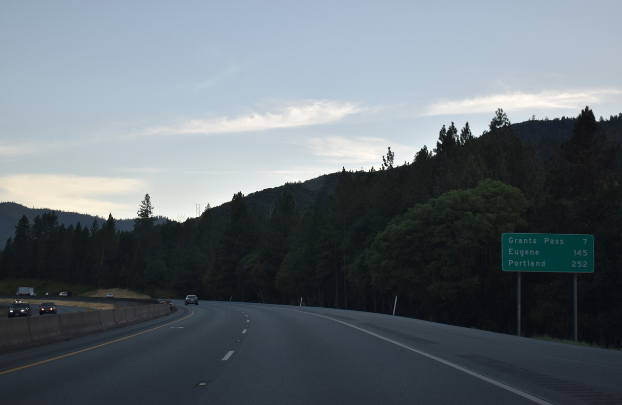
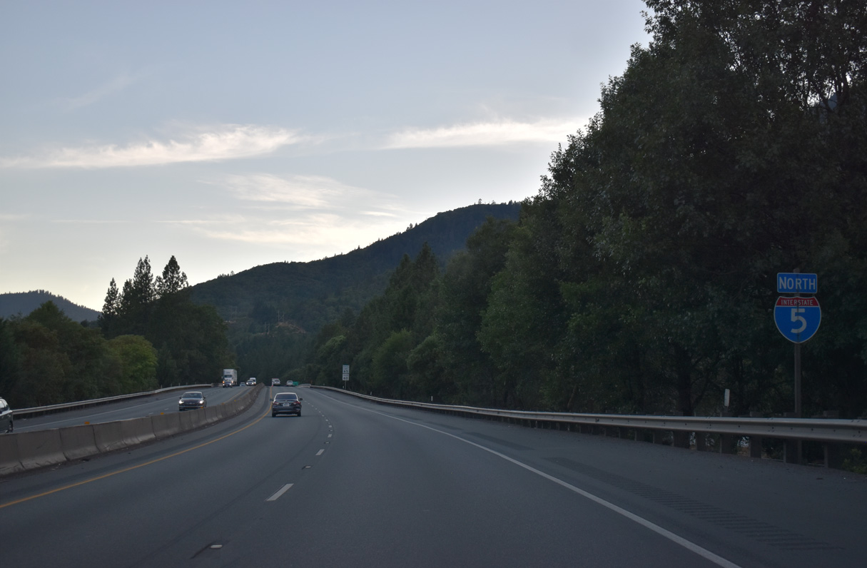
Tthe Josephine County seat of Grants Pass is seven miles west of Rogue River along Interstate 5. Eugene appears for the first time on distance signs for I-5 at 145 miles out.
07/15/23
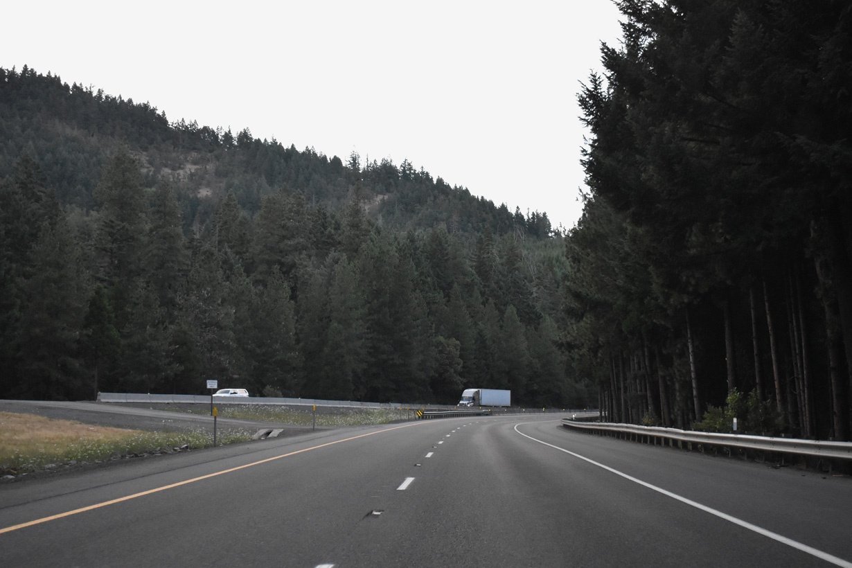
Interstate 5 straddles the southern slop of Fielder Mountain between mileposts 50 and 54.
07/15/23
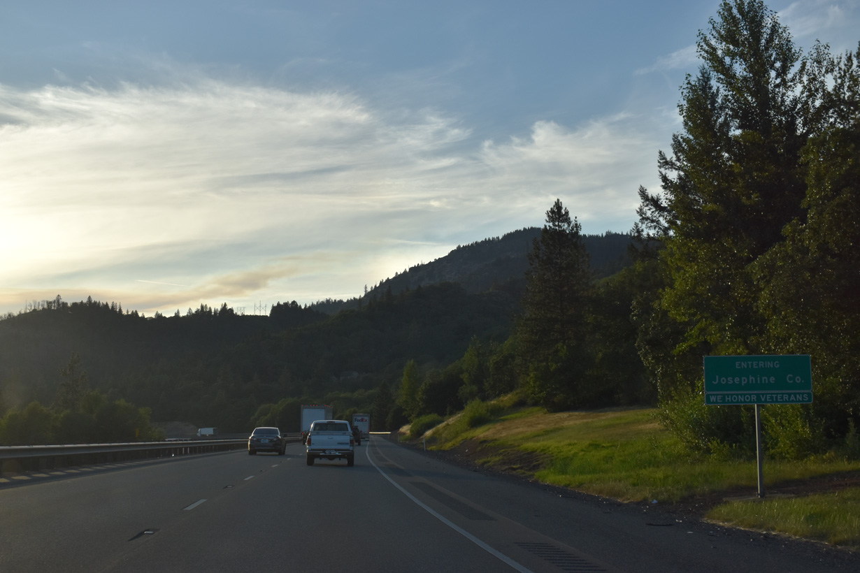
Interstate 5 enters Josephine County west of milepost 52.
07/15/23
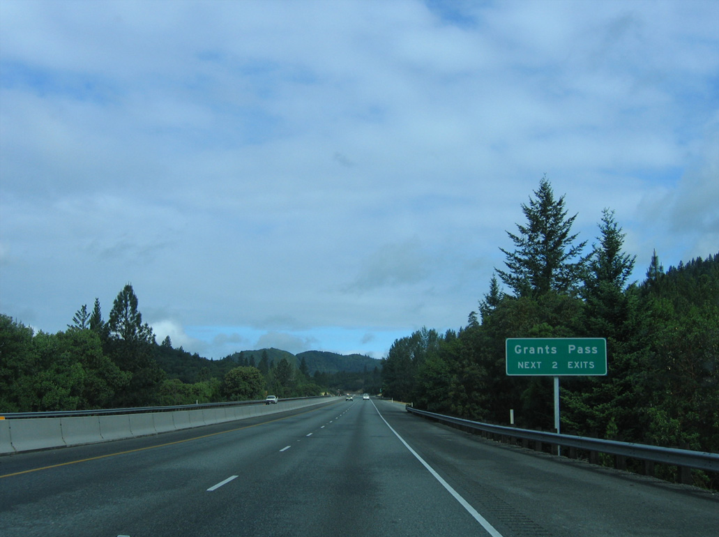
The next two interchanges on northbound Interstate 5 serve the city of Grants Pass.
05/28/06
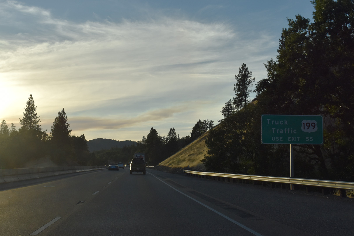
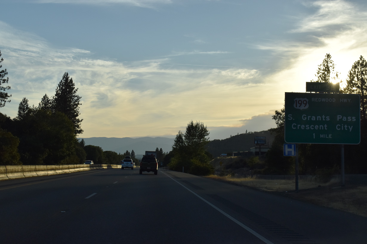
U.S. 199 (Grants Pass Highway) follows a bypass of Downtown Grants Pass between the trumpet interchange at Exit 55 and OR 99 (Rogue River Highway) and OR 238 (Williams Highway) in Grants Pass.
07/15/23
U.S. 199 follows Redwood Highway southwest from Grants Pass to the California state line south of O'Brien. Redwood forests spread along the ocean facing mountains of northwestern California and southwestern Oregon.
07/15/23
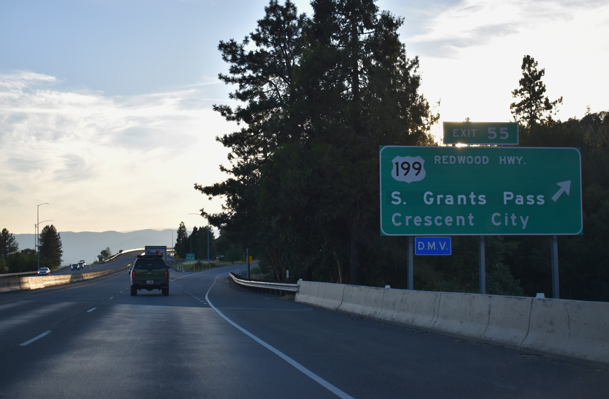
Redwood Highway (former U.S. 199) originates along OR 99 (6th and 7th Streets) in Downtown Grants Pass. U.S. 199 and Redwood Highway combine west of OR 99/238 en route to Wilderville, Selma and Cave Junction. U.S. 199 ends at U.S. 101 in Crescent City along the Pacific coastline in Del Norte County, California.
07/15/23
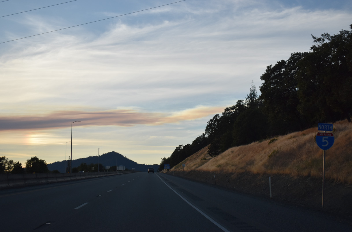
I-5 angles northwest from U.S. 199 between the Grants Pass street grid and Beacon Hill.
07/15/23
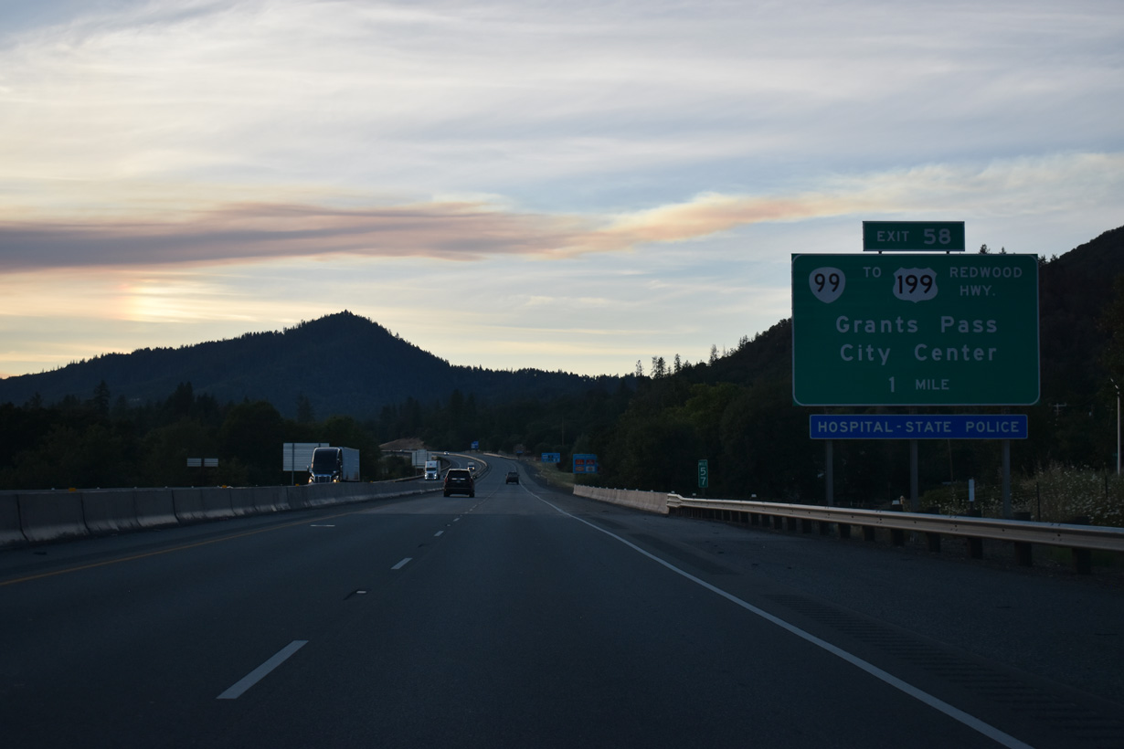
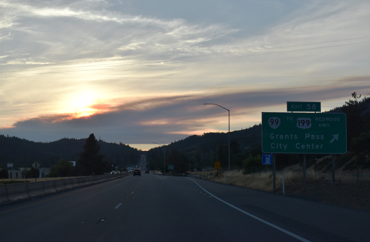
Forthcoming Exit 58 joins the freeway with the one way couplet of OR 99 along 6th/7th Streets in north Grants Pass. OR 99 travels through Downtown to U.S. 199 (Grants Pass Parkway / Redwood Highway) and OR 238 (Williams Highway).
07/15/23
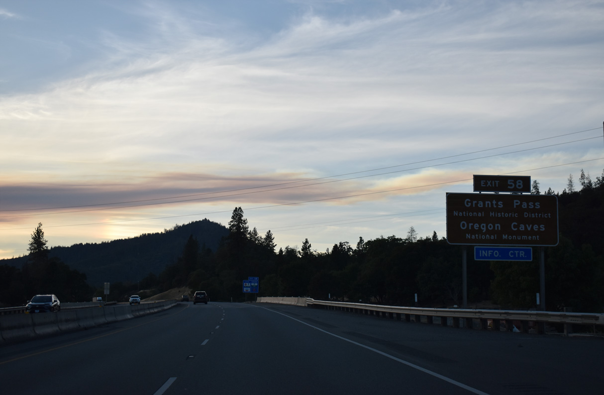
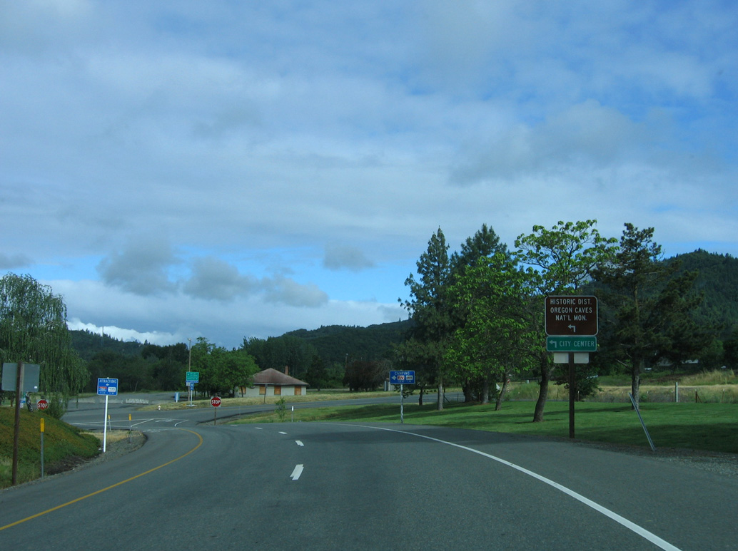
Exit 58 serves the National Historic District of Grants Pass. Oregon Caves National Monument is 19 miles east of U.S. 199 (Redwood Highway) via OR 46 (Caves Highway) from Cave Junction. A marble cave lies below and old coniferous forest that includes the widest known Douglas-fir tree in Oregon.
07/15/23
OR 99 follows 6th Street (north) and 7th Street (south) through the Grants Pass city center. The state route follows Rogue River Highway east from U.S. 199 (Redwood Highway) and OR 238 (Williams Highway) to Fruitdale.
07/15/23
Scoville Road extends north from I-5/OR 99 in northern Grants Pass. There are no shields posted for OR 99 south along the ramp at Exit 58.
05/28/06
Although not signed, OR 99 combines with Interstate 5 north for the second time between Exit 58 at Grants Pass and Exit 98 at Canyonville.
07/15/23
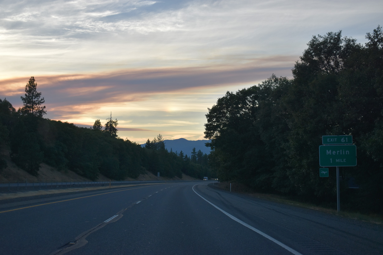
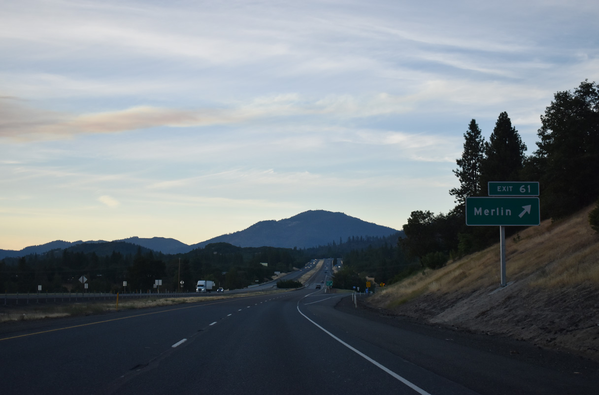
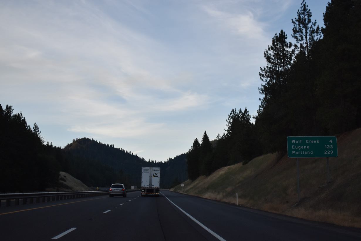
The succeeding exit northbound is with Merlin Road. Merlin Road stems west from Highland Avenue (Historic U.S. 99) adjacent to Exit 61, 4.5 miles to the unincorporated community of Merlin.
07/15/23
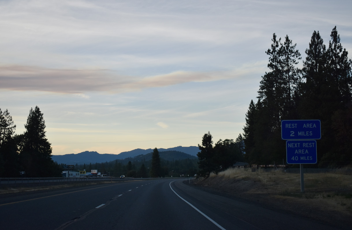
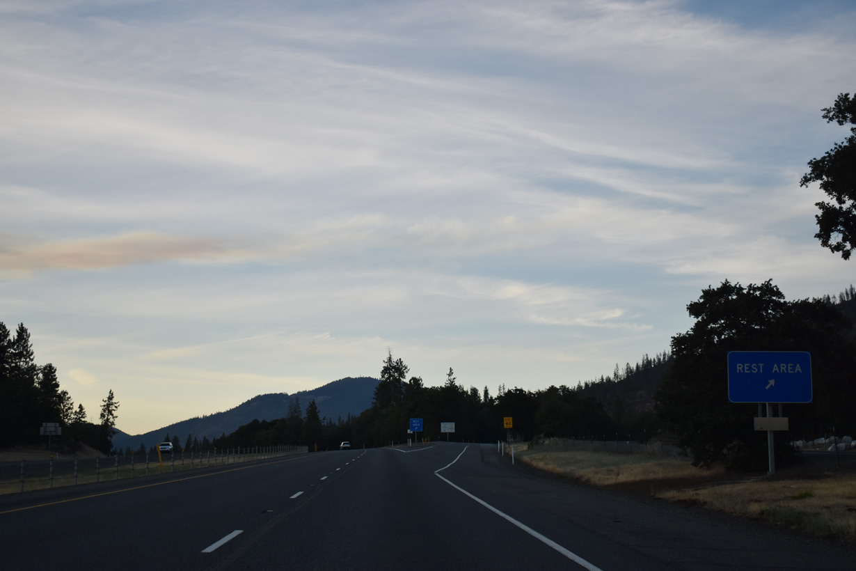
The Manzanita Rest Area lies north of the parclo interchange (Exit 61) with Merin Road and Monument Drive.
07/15/23
Exit 61 parts ways with I-5 parallels Louse Creek northwest to Galice and Pleasant Valley Roads at Merlin. Merlin is the gateway to the "The Wild & Scenic Rogue River" and Hellgate Canyon.
07/15/23
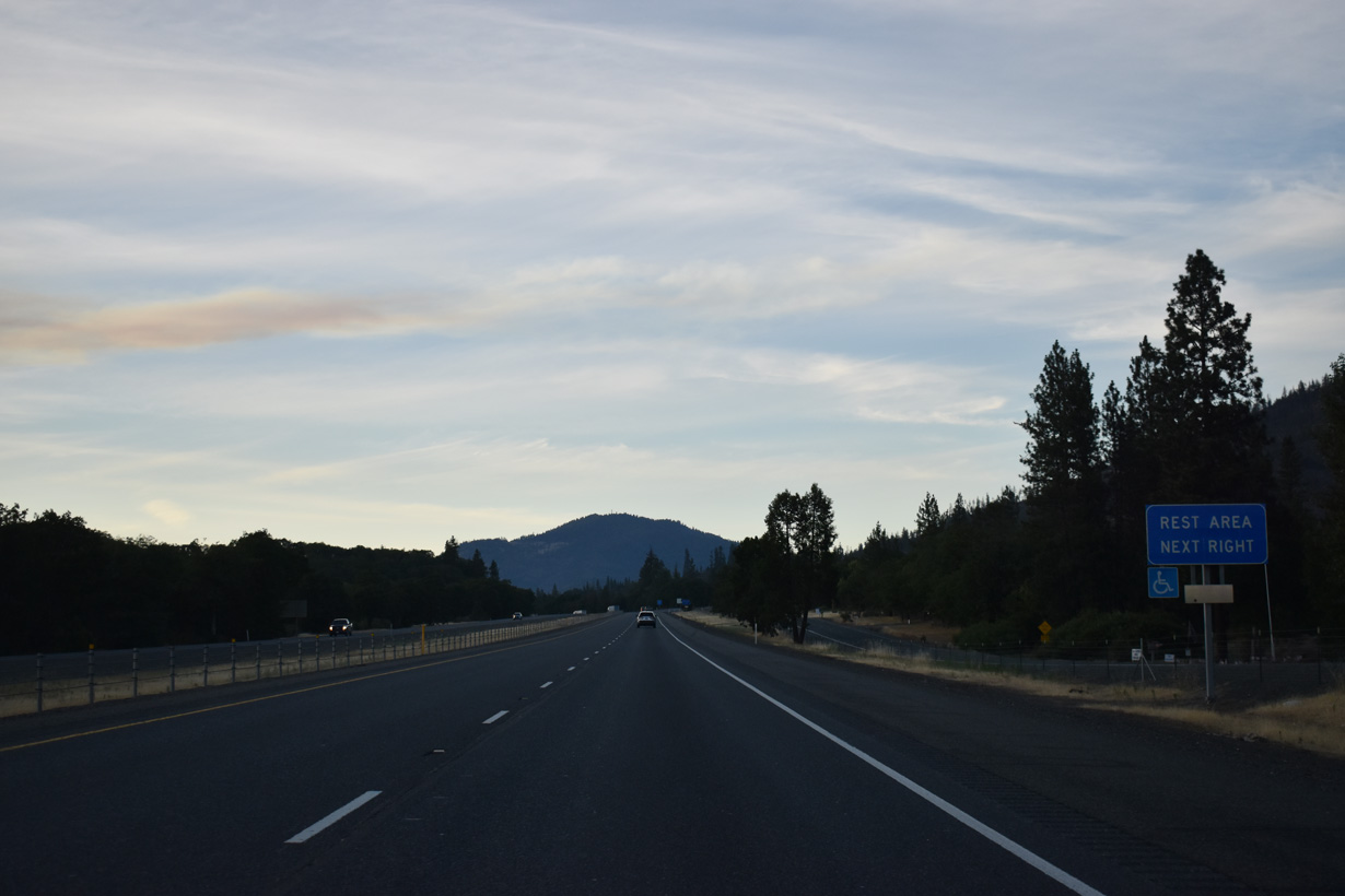
The Manzanita Rest Area precedes mile marker 63 to the southwest of Walker Mountain.
07/15/23
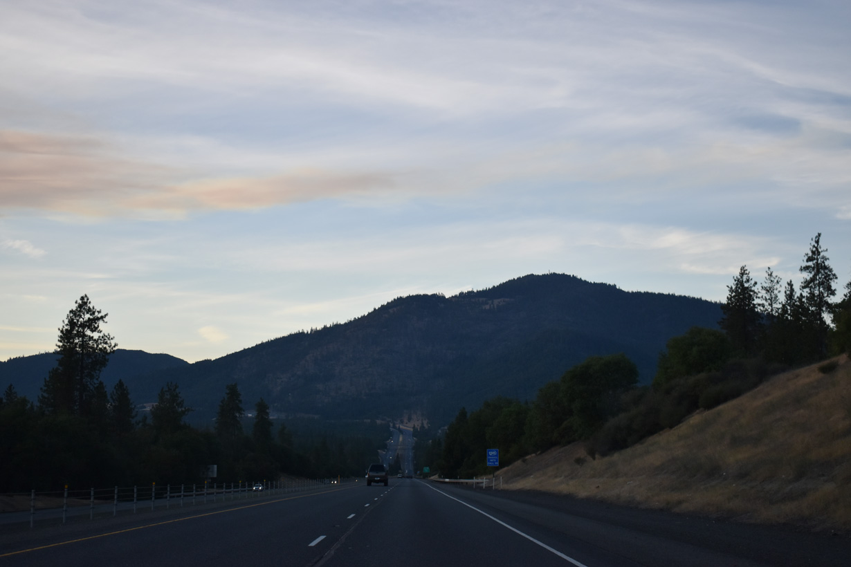
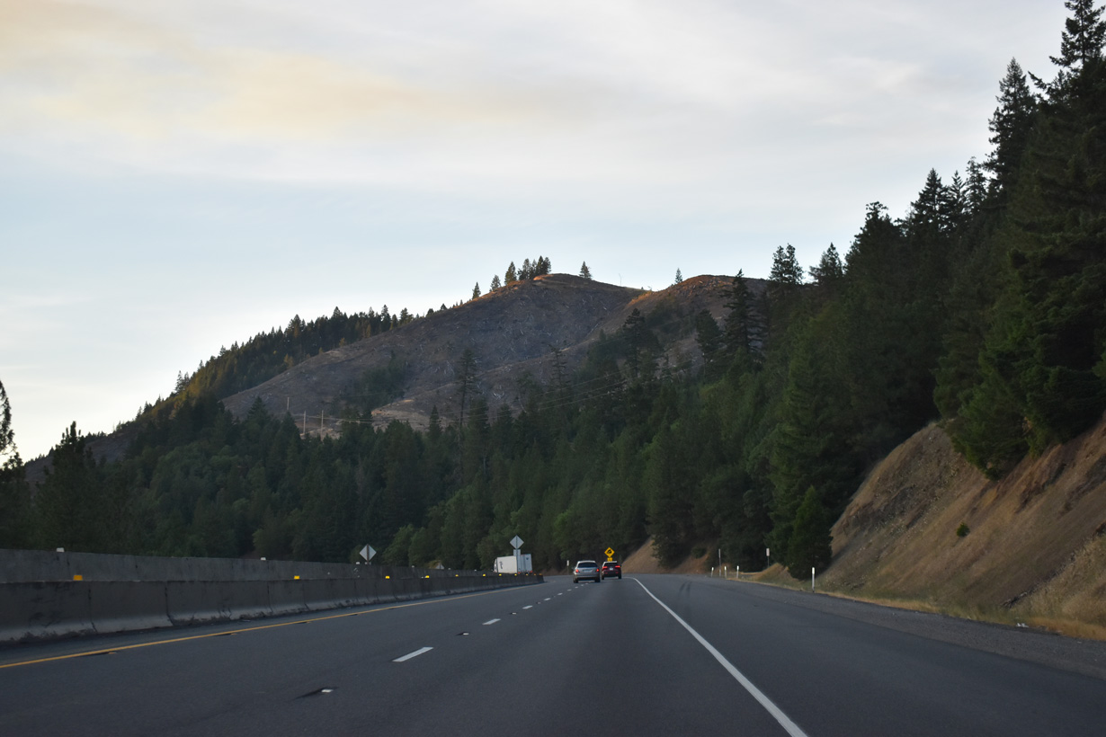
Interstate 5 passes Red Mountain before circumventing Sexton Mountain north ahead of Sexton Mountain Pass.
07/15/23
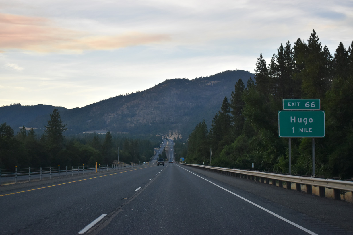
Monument Drive, the old alignment of U.S. 99 north from Merlin Road, converges with I-5 at Exit 66. Oxyoke Road stems north from nearby to the community of Hugo. Formerly named "Gravel Pit", Hugo was established as a flag station along the Oregon and California Railroad in 1883. A post office commenced operations at the site in 1895. Hugo derives its name from Hugo Garbers, a long time area farmer. The area was known for cherry harvests through the 20th century.
07/15/23
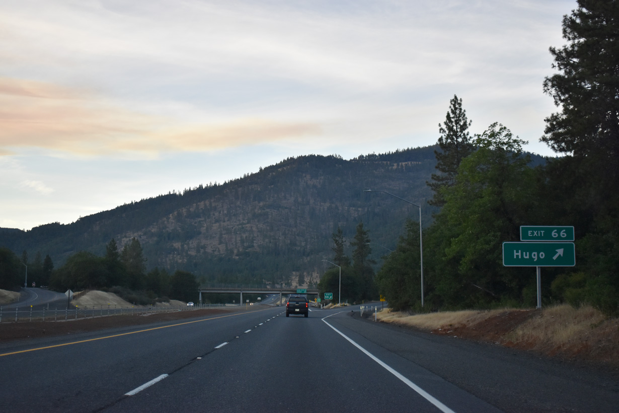
Northbound at the modified diamond interchange (Exit 66) with Monument Drive and Jumpoff Joe Creek east. A local trapping party camped along Jumpoff Joe Creek in 1828 when member Joe Mcloughlin arrived after dark and fell from a cliff nearby. Mcloughlin sustained severe injuries from the fall.
07/15/23
A truck climbing lane opens north of Monument Drive as Interstate 5 gains 765 feet in elevation to Sexton Mountain Pass.
07/15/23
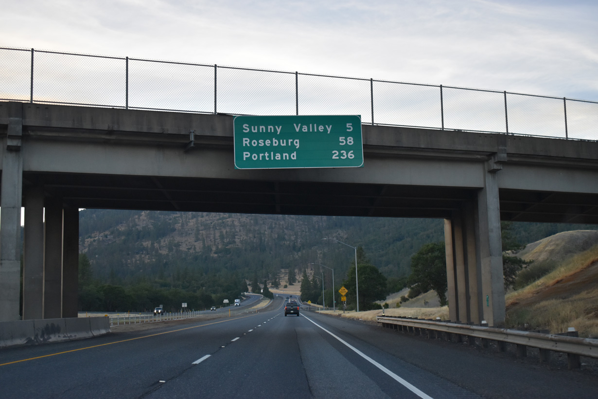
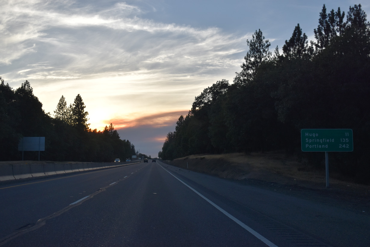
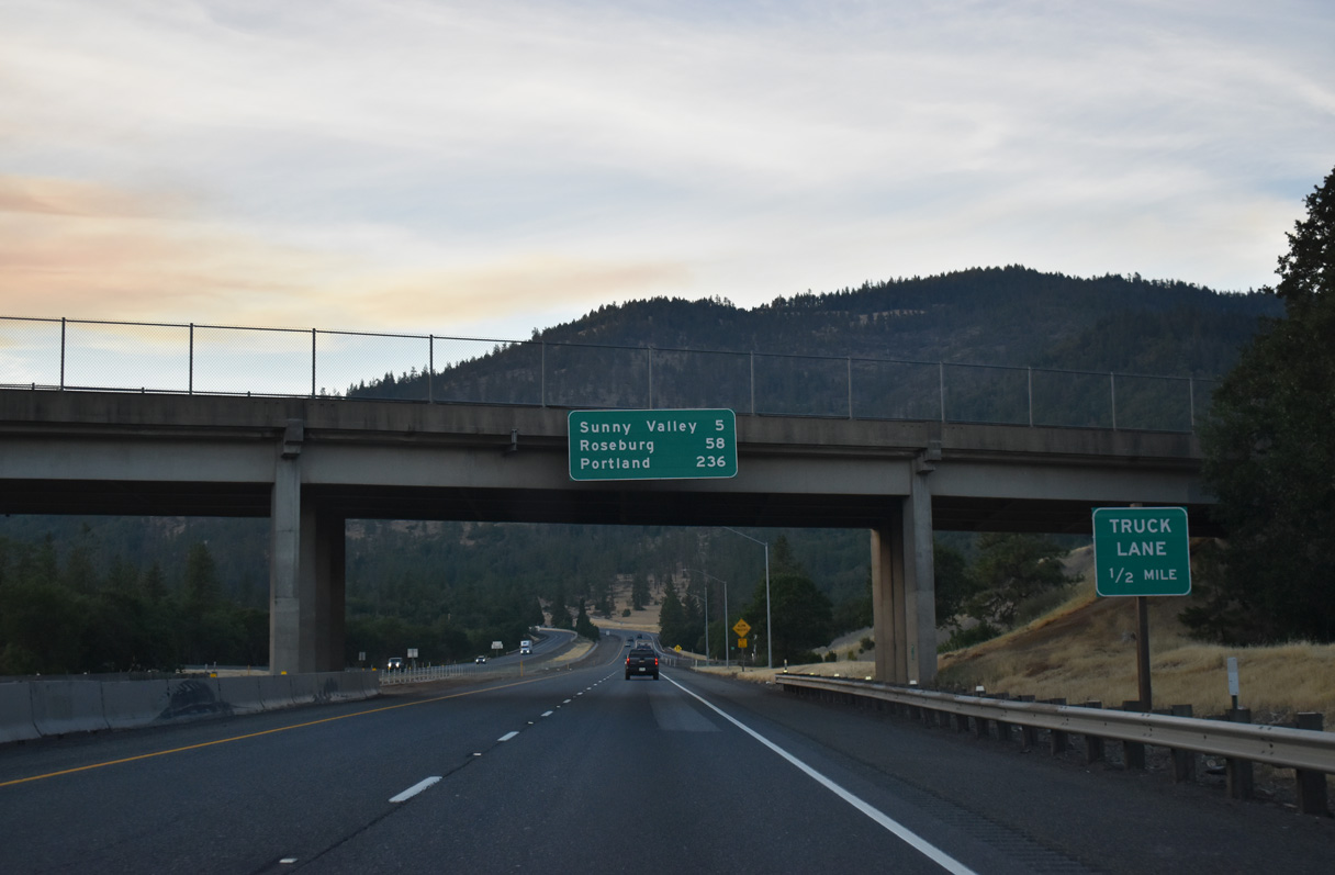
Roseburg is 58 miles to the north while Downtown Portland is 234 miles away via I-5 and S Harbor Drive.
07/15/23
Interstate 5 turns northwest between Sexton Mountain and Hugo.
07/15/23
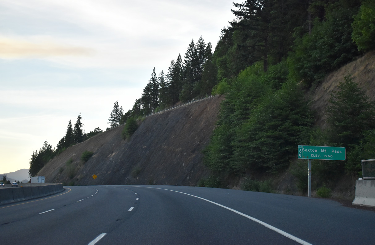
Interstate 5 reaches an elevation of 1,960 feet above sea level at Sexton Mountain Pass and milepost 69.
07/15/23
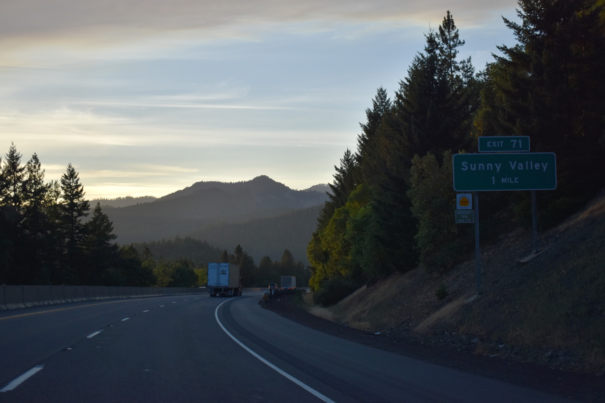
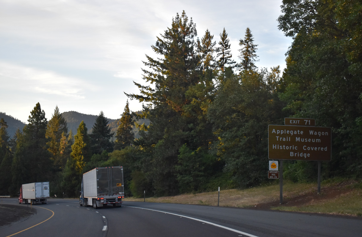
Interstate 5 lowers from Sexton Summit to Exit 71 with Lariet Drive west and Sunny Valley Loop east at Sunny Valley.
07/15/23
Sunny Valley Loop crosses the Grave Creek Covered Bridge north beyond the Applegate Wagon Trail Interpretive Center into the unincorporated community of Sunny Valley. This is the only covered bridge visible along the entire length of Interstate 5.
07/15/23
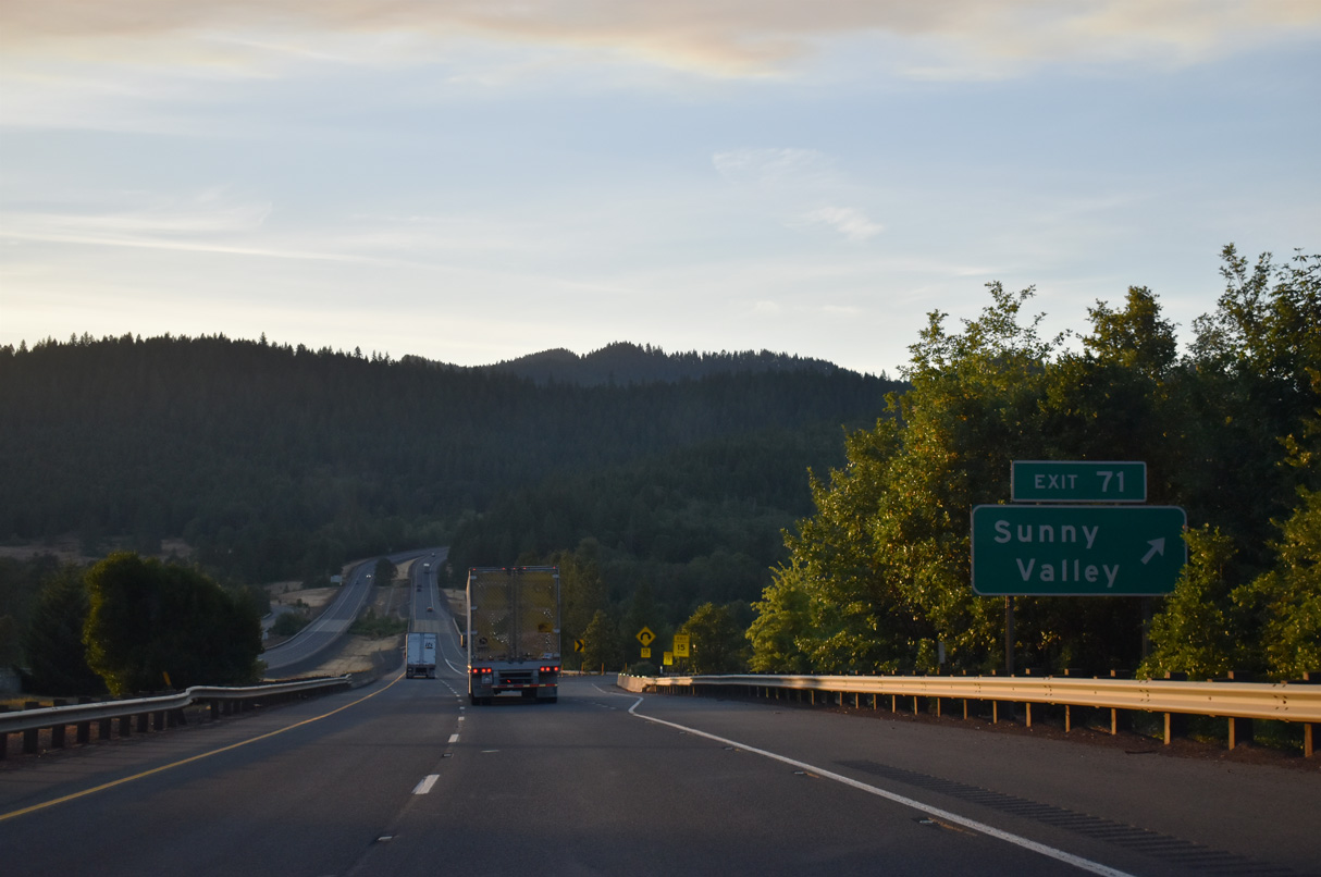
A folded diamond interchange joins I-5 with Lariat Drive / Sunny Valley Loop at Exit 71. The community of Sunny Valley was named such as "the sun always shines on the meadows and creeks" ("Sunny Valley Oregon Profile", n.d.).
07/15/23
Interstate 5 north crosses Grave Creek and Leland Road beyond this confirming marker.
07/15/23
Eugene replaces Roseburg on the distance sign posted north of Sunny Valley. The home of the University of Oregon is 123 miles away via I-5 and OR 99.
07/15/23
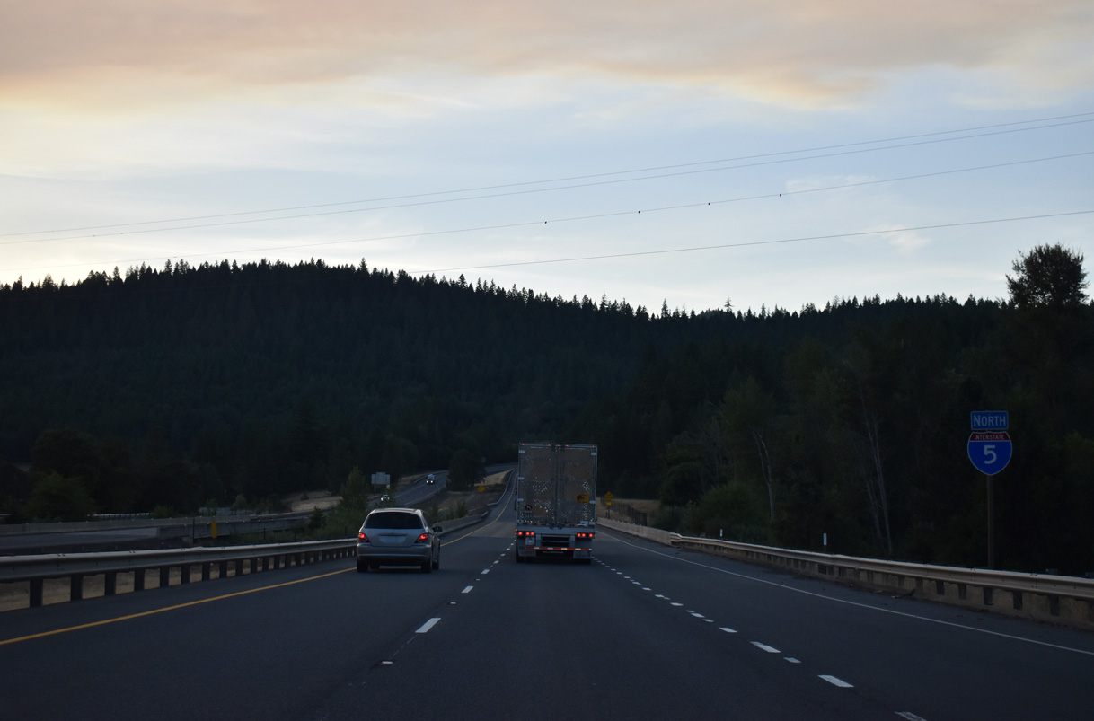
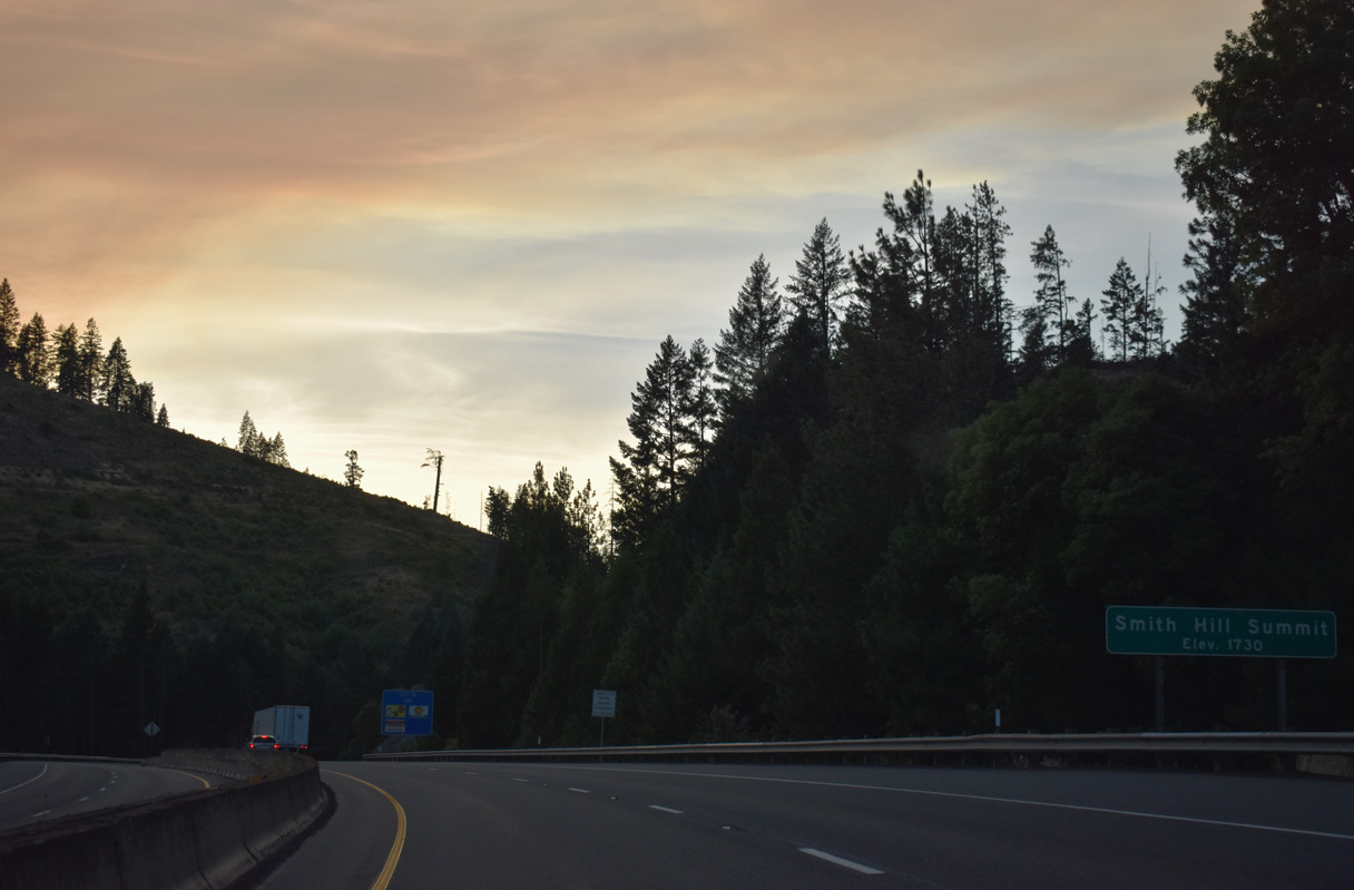
Leaving Sunny Valley, Interstate 5 north climbs to an elevation of 1,730 feet above sea level at Smith Hill Summit.
07/15/23
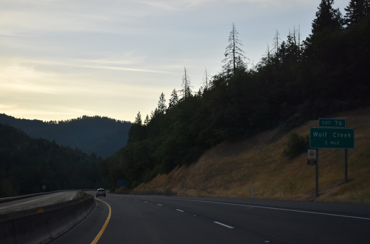
I-5 lowers into the unincorporated Wolf Creek at a split diamond interchange (Exit 76) with Old Highway 99 and Coyote Creek Road. Founded in 1872 by Henry Smith, Wolf Creek grew as a lumber and supply center for the Wolf Creek and Coyote Creek mines. The Oregon and California Railroad built a station at the settlement.
07/15/23
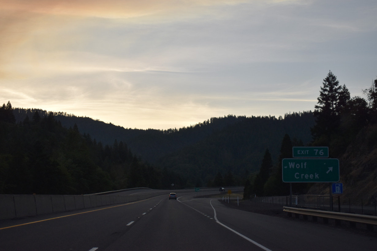
Coyote Creek Road spurs east from alongside I-5 to King Mountain (el. 5,265 feet). Old Highway 99 joins Interstate 5 with Front Street to Lower Wolf Creek Road at Wolf Creek. Points of interests for Exit 76 include the historic Wolf Creek Inn and Wolf Creek Park.
07/15/23
Old U.S. 99 runs along the east side Frontage Road northeast to the wye interchange (Exit 78 on I-5 south) with Speaker Road.
07/15/23
The roadways for Interstate 5 diverge at Stage Road Gulch. They come back together north of mile marker 79.
07/15/23
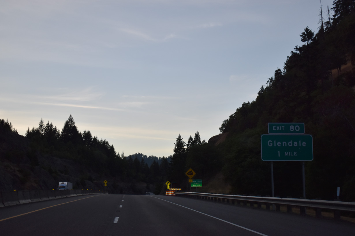
Glendale Valley Road east and Junction Road south come together at a folded diamond interchange (Exit 80) with Interstate 5.
07/15/23
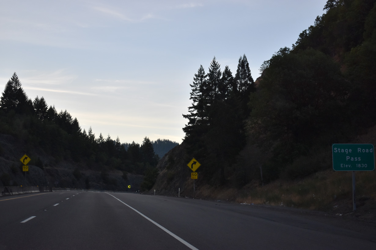
Interstate 5 rises to 1,830 feet above sea level at Stage Road Pass.
07/15/23
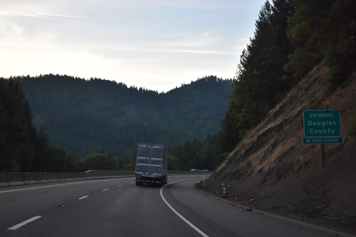
Interstate 5 enters Douglas County north from a notch in Josephine County.
07/15/23
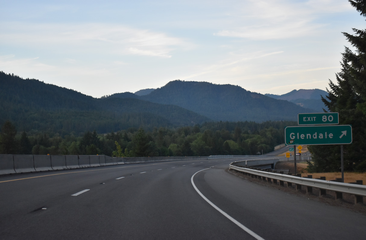
Glendale Valley Road heads 2.4 miles west to Sether Avenue in the city of Glendale. Junction Road runs 0.6 miles north to Old Pacific Highway (CR 12) and Azalea-Glen Road at Glendale Junction.
07/15/23
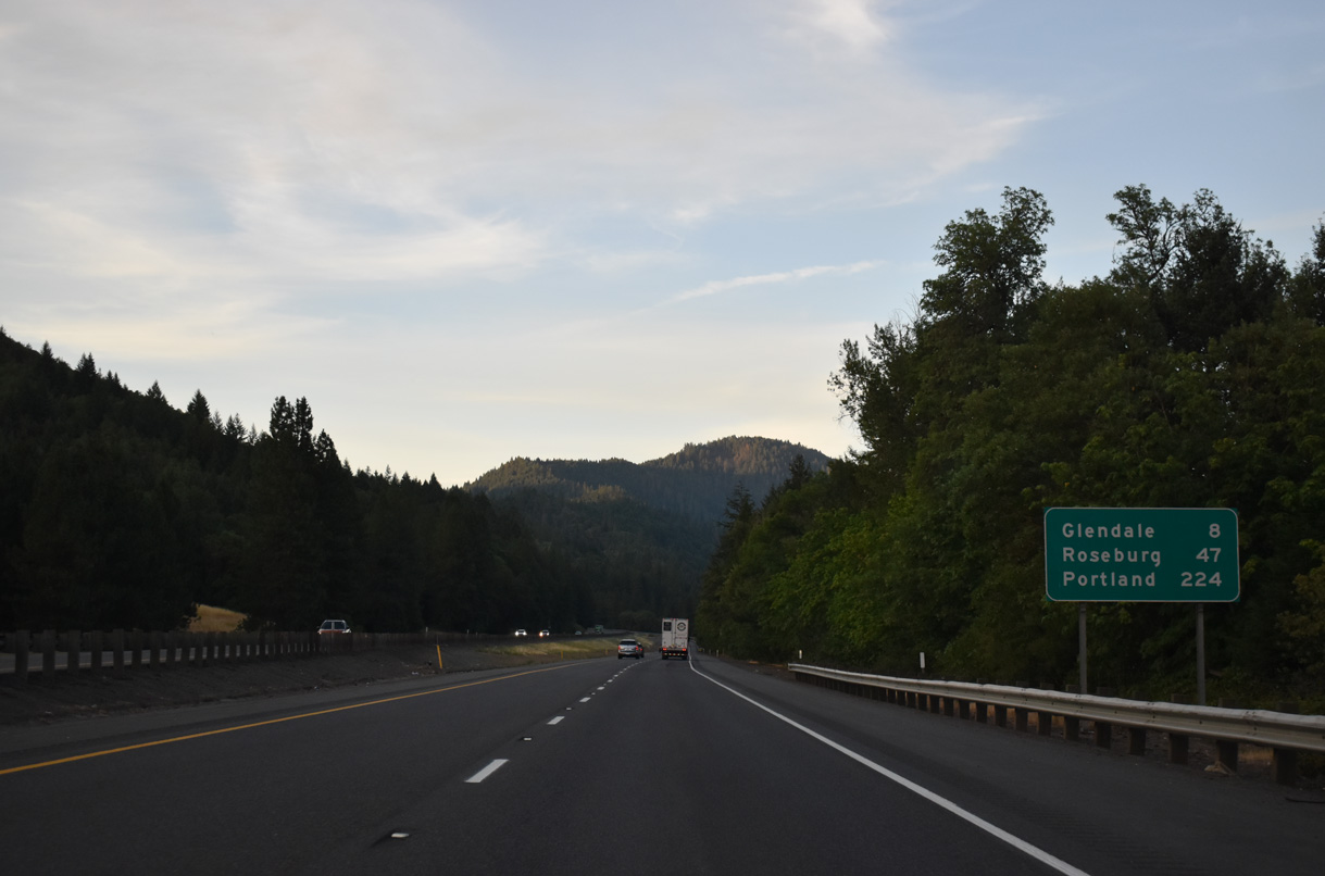
Interstate 5 curves eastward from the Glendale Junction to Quines Creek and Azalea in southern Douglas County. Closed by 2011, the second rest area along I-5 north in Oregon was located at mile marker 82.
07/15/23
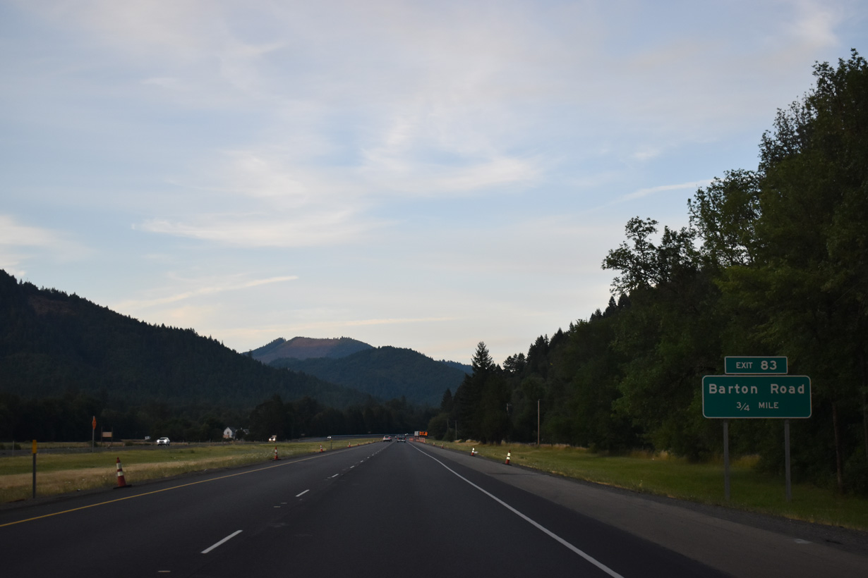
Paralleling Cow Creek, I-5 advances 0.75 miles east to a half diamond interchange (Exit 83) with Barton Road. Barton Road links the freeway with Azalea-Glen Road (Old U.S. 99), 0.4 miles to the north.
07/15/23
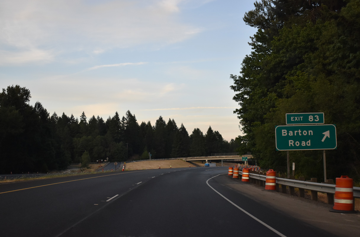
Exit 83 leaves Interstate 5 northbound for Barton Road and Ranchero Road east. Ranchero Road runs alongside I-5 east to to Quines Creek Road by Exit 83.
07/15/23
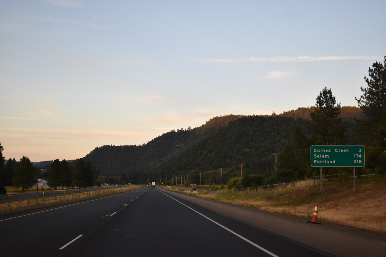
The capital city of Salem is 173 miles to the north via Interstate 5 and OR 22 west.
07/15/23
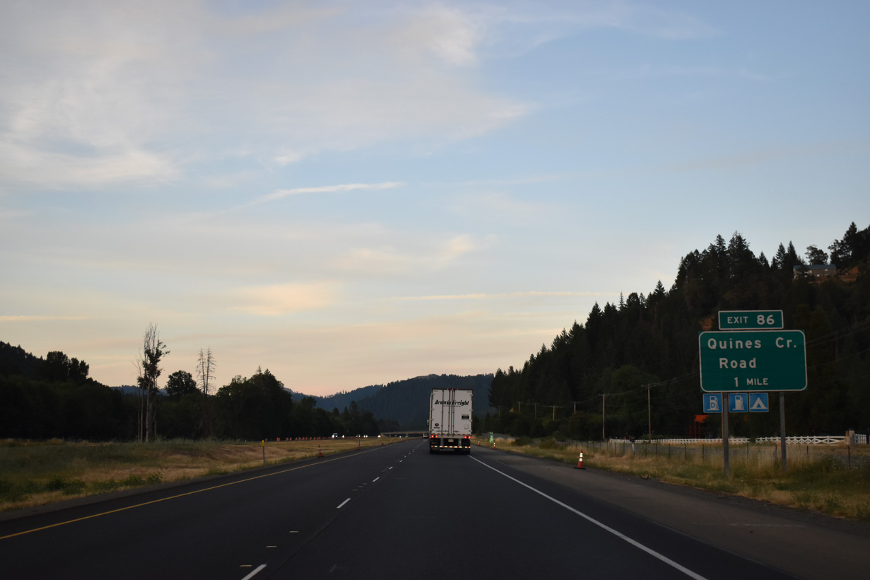
Quines Creek Road travels south from the Azalea-Glen Road / Old Pacific Highway across Cow Creek to the diamond interchange at Exit 86.
07/15/23
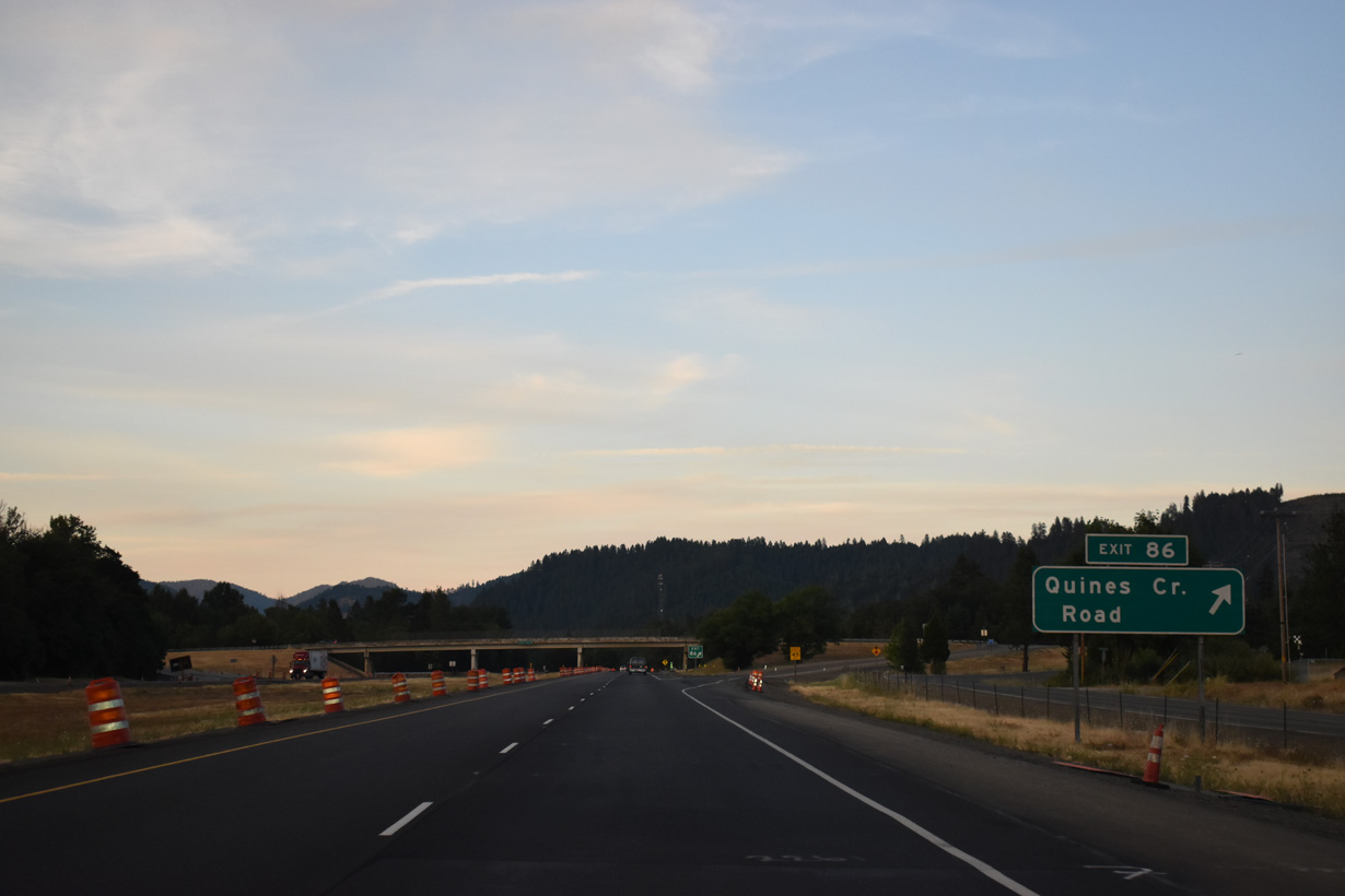
Quines Creek Road spurs south from Exit 86 and Eakins Road to Tennessee Gulch north of King Mountain.
07/15/23
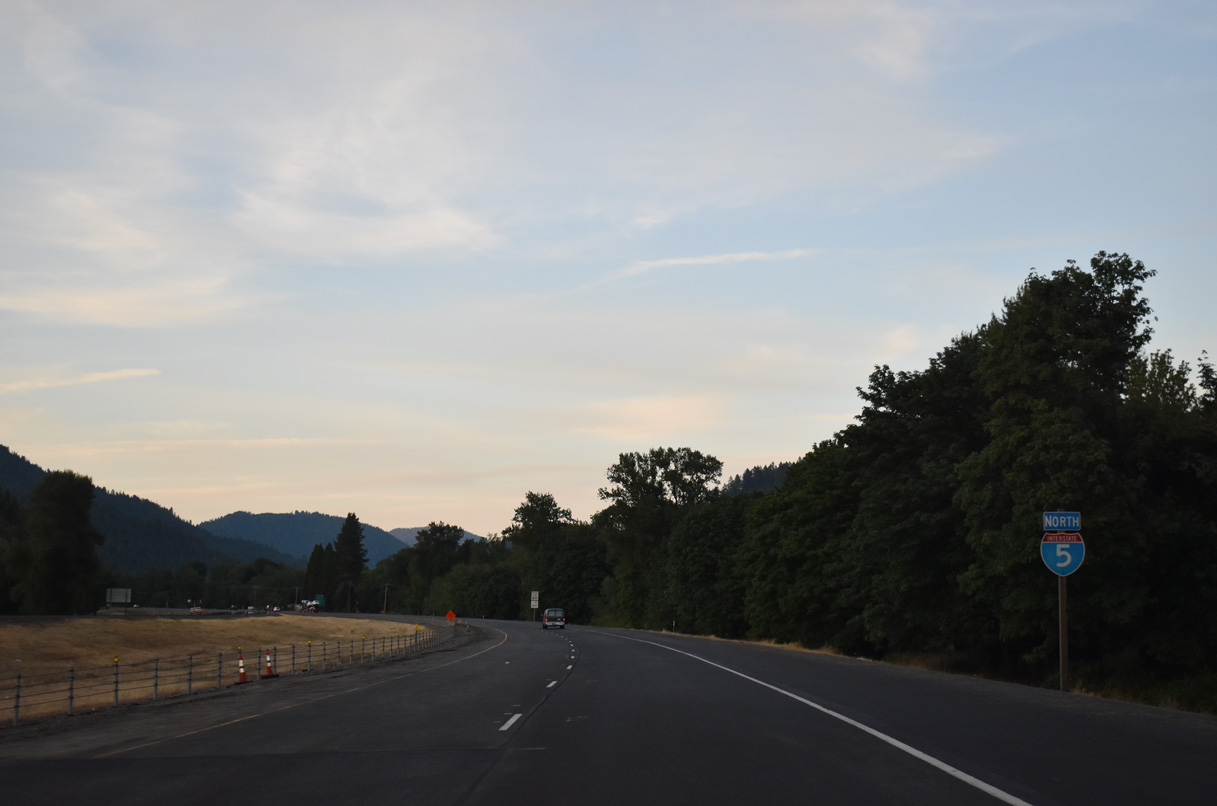
Interstate 5 crosses Cow Creek ahead of this confirming marker preceding milepost 87.
07/15/23
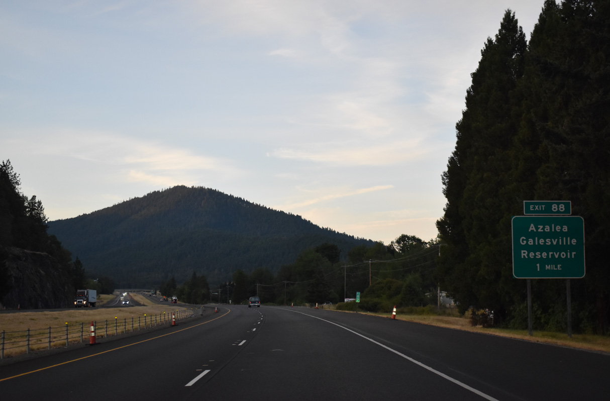
Azalea-Glen Road (Old U.S. 99) converges with Interstate 5 by the unincorporated community of Azalea at Exit 88.
07/15/23
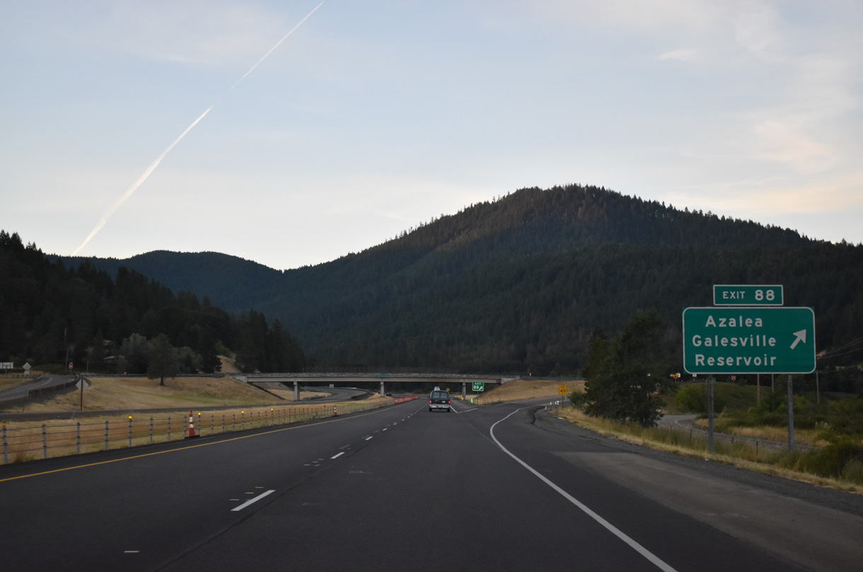
Located east of Patrick Mountain, Upper Cow Creek Road heads northeast from Exit 88 to Galesville Reservoir.
07/15/23


References:
Sunny Valley Oregon Profile. (n.d.) Rogue Web. Retrieved from August 18, 2025, from https://rogueweb.com/sunny/index.html
Photo Credits:
- Andy Field, Joel Windmiller: 05/28/06
- Brent Ivy: 07/15/23
Connect with:
Page Updated Monday August 18, 2025.