
Business Loop I-8 East - Gila Bend

 East
East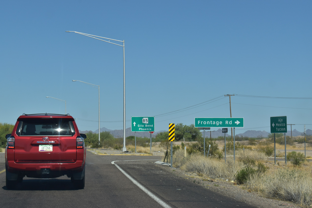
Business Loop I-8 intersects the south frontage road (old U.S. 80) just beyond the separation with Interstate 8 eastbound at Exit 115.
05/28/21
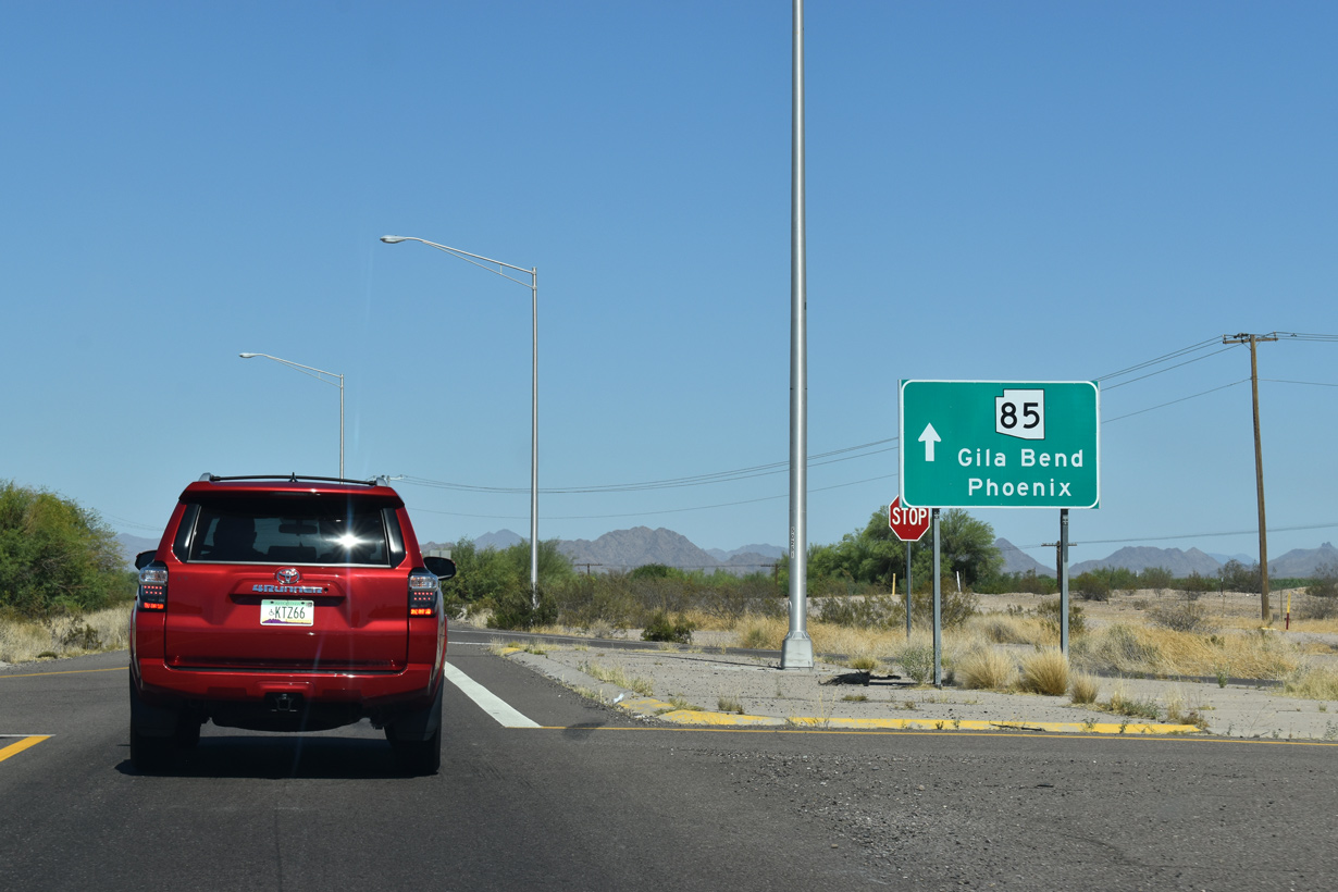
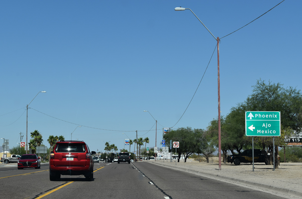
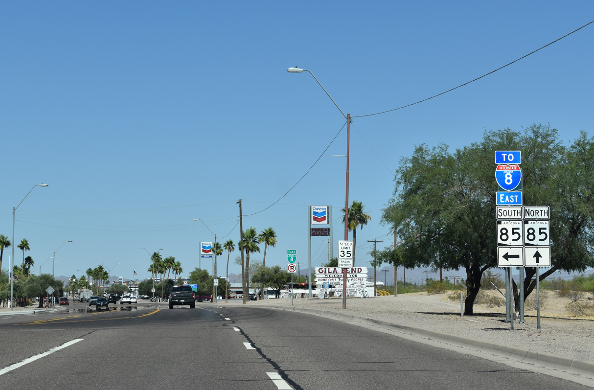
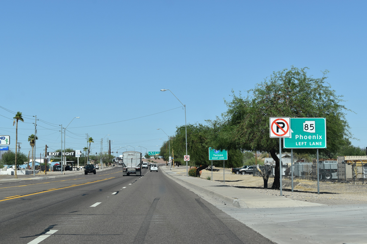
Business Loop I-8 provides the connection from I-8 east to SR 85 south to Ajo and north beyond Gila Bend.
05/28/21
SR 85 is mostly a four lane highway between Gila Bend and Buckeye/Palo Verde. Long range studies outlined further upgrading SR 85 to Interstate standards upon identification of funding.1
05/28/21
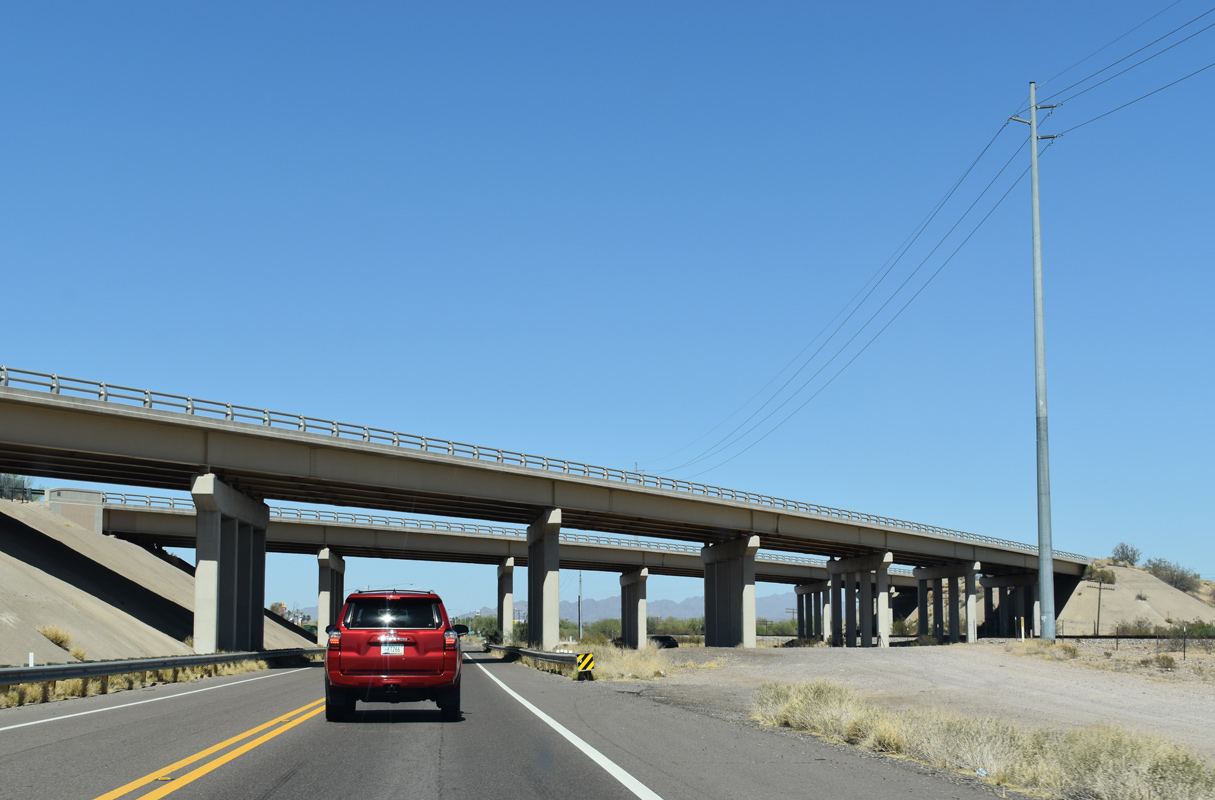
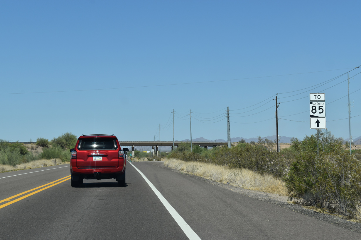
Interstate 8 spans both Business Loop I-8 (Pima Street) and the adjacent Union Pacific Railroad line.
05/28/21
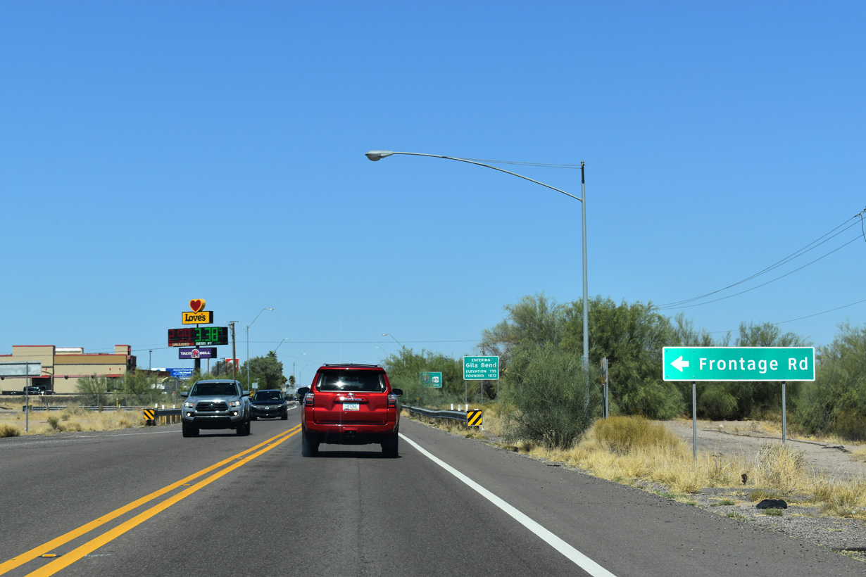
The north Frontage Road for I-8 ties into Pima Street just ahead of the grade separation with SR 85 south.
05/28/21

Business Loop I-8 (Pima Street) runs along the Gila Bend town line between SR 85 and Johnny Street. Situated at an elevation of 737 feet above sea level, the community was founded in 1872.
05/28/21
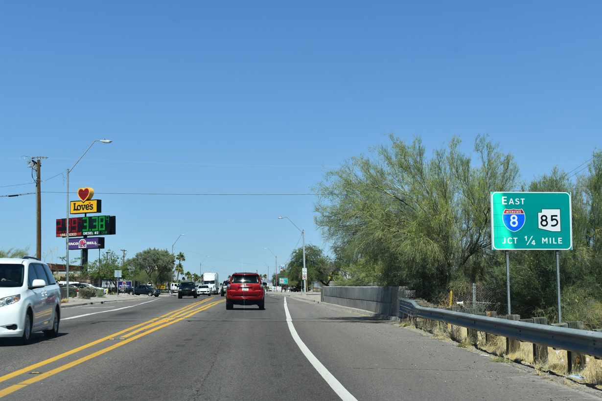
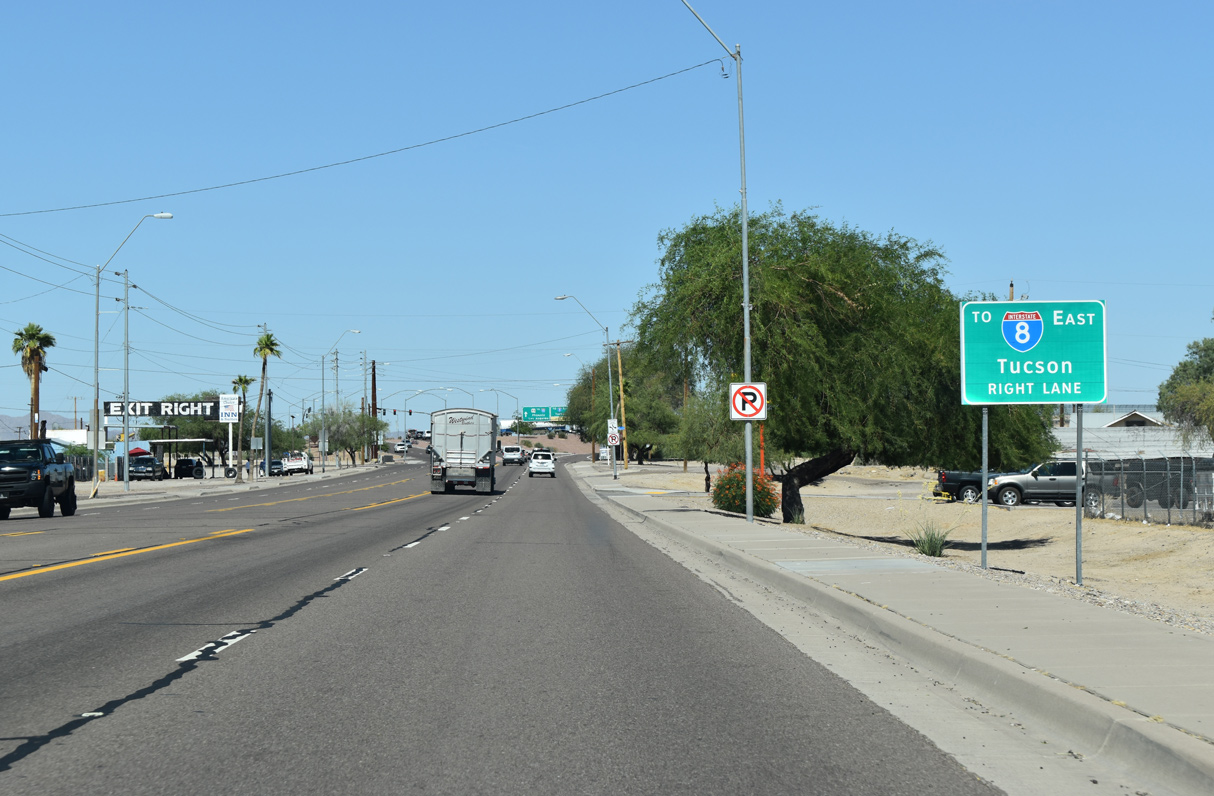
SR 85 loops southward below Pima Street to a nearby half diamond interchange with Interstate 8 eastbound.
05/28/21
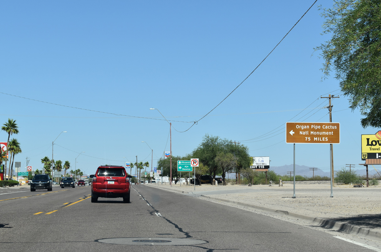
The southern branch of SR 85 travels to Organ Pipe Cactus National Monument through the Valley of the Ajo.
05/28/21
SR 85 runs 80.15 miles south to the International border with Mexico at Lukeville. SR 85 is the best route to Puerto Peñasco or Rocky Point in the state of Sonora.
05/28/21
Traversing Barry M. Goldwater Air Force Range south between the Crater Range and Sauceda Mountains, SR 85 heads to the unincorporated community of Ajo. SR 86 branches east from SR 85 further south at Why.
05/28/21
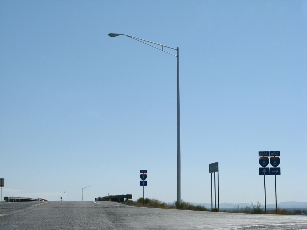
East  North
North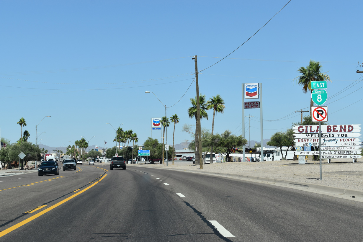
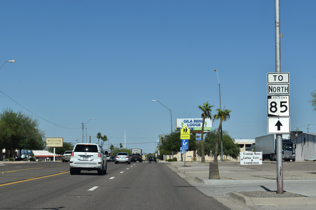
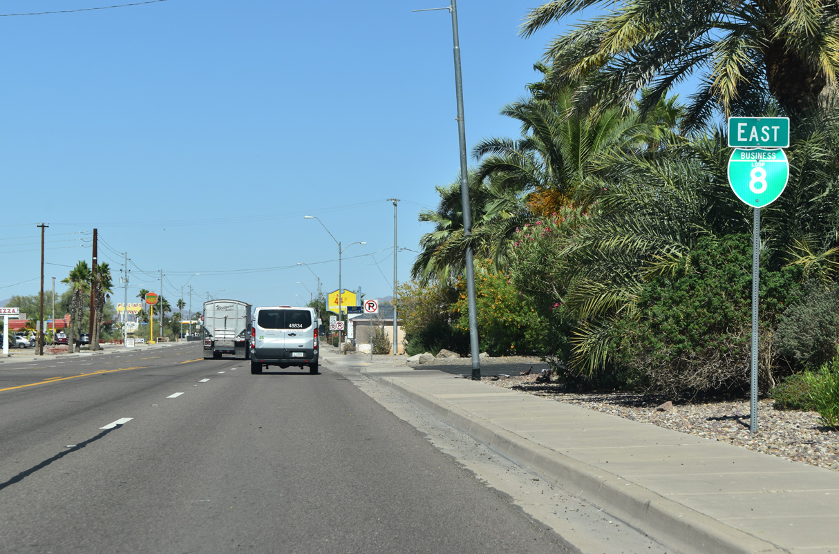
The first confirming marker for Business Loop I-8 appears without SR 85 north acknowledged.
05/28/21
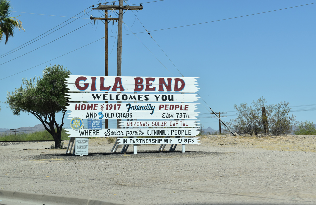
The Gila Bend welcome sign was amended from 1,700 friendly people in 2005 to 1,917 by 2021 while still displaying 5 old crabs.
05/28/21
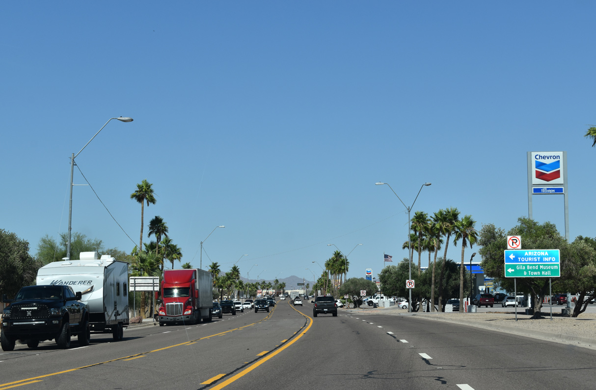
The Gila Bend Visitor Center and Museum lines the north side of Pima Street east of Harrington Avenue.
05/28/21
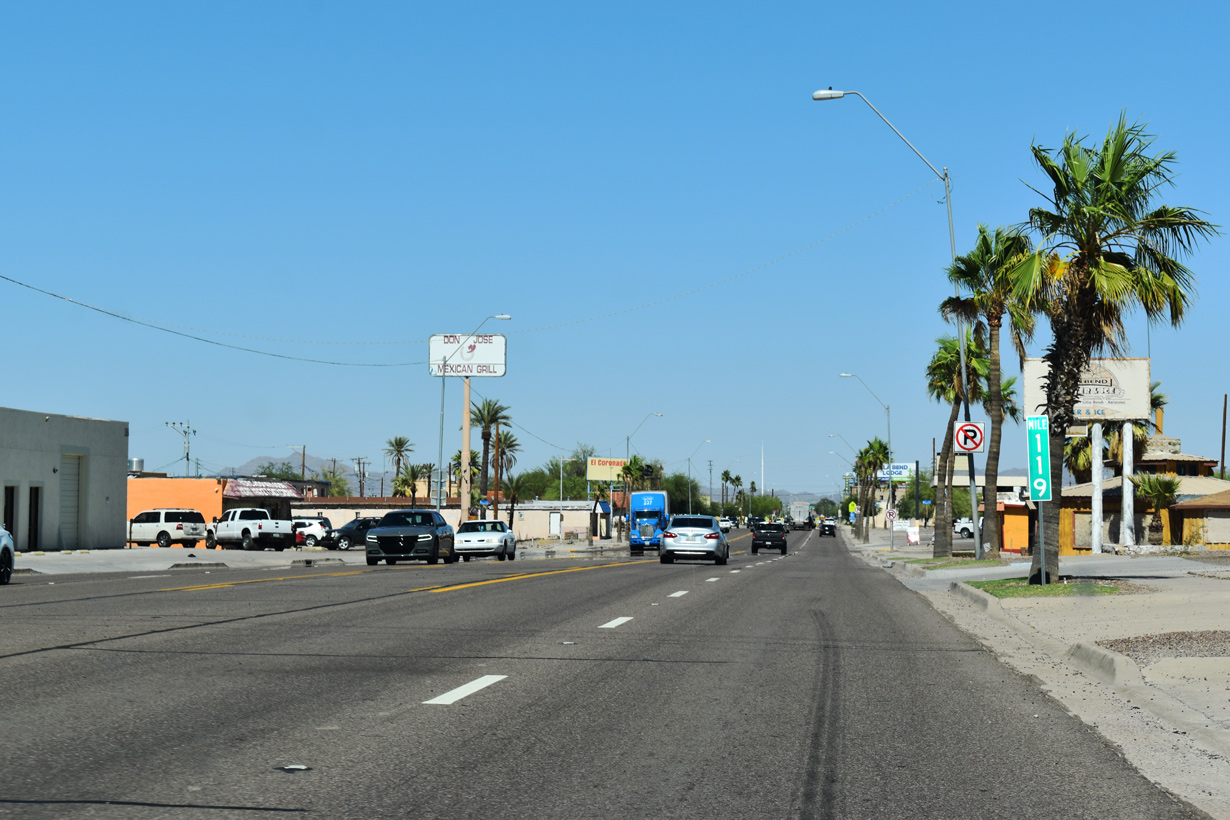
Milepost 119 for Business Loop I-8 is at the intersection with Johnny Street. Mile markers use the mileage from old U.S. 80.
05/28/21
An SR 85 trailblazer stands along Pima Street east of Scott Avenue in lieu of a reassurance marker for the overlap with Business Loop I-8.
05/28/21
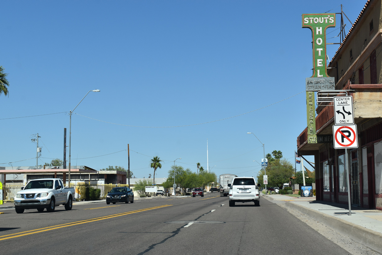
Pima Street east at Martin Avenue in the Gila Bend business district.
05/28/21
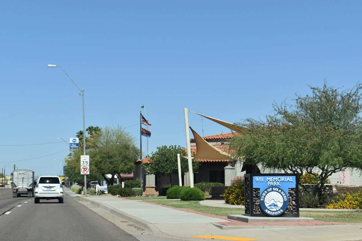
9/11 Memorial Park at Capitol Avenue.
05/28/21
Business Loop I-8 (Pima Street) east at St. Louis Street.
05/28/21
Reassurance marker posted eastbound at Barnes Avenue.
05/28/21

Business Loop I-8/SR 85 cross Sand Tank Wash east beyond this trailblazer.
05/28/21
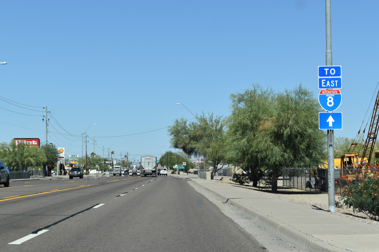
A trailblazer for Interstate 8 follows Sand Tank Wash.
05/28/21
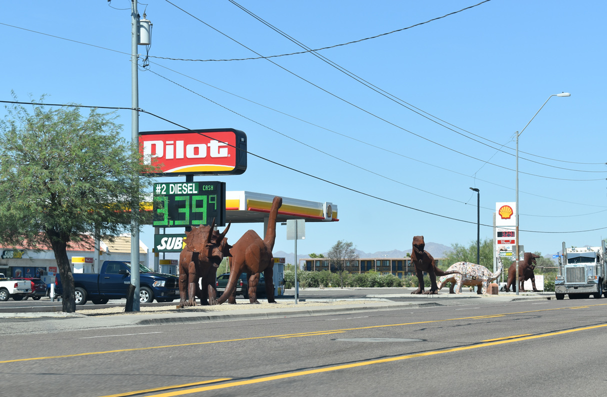
Several dinosaur sculptures stand along the north side of Pima Street at a gas station adjacent to Palo Verde Avenue.
05/28/21
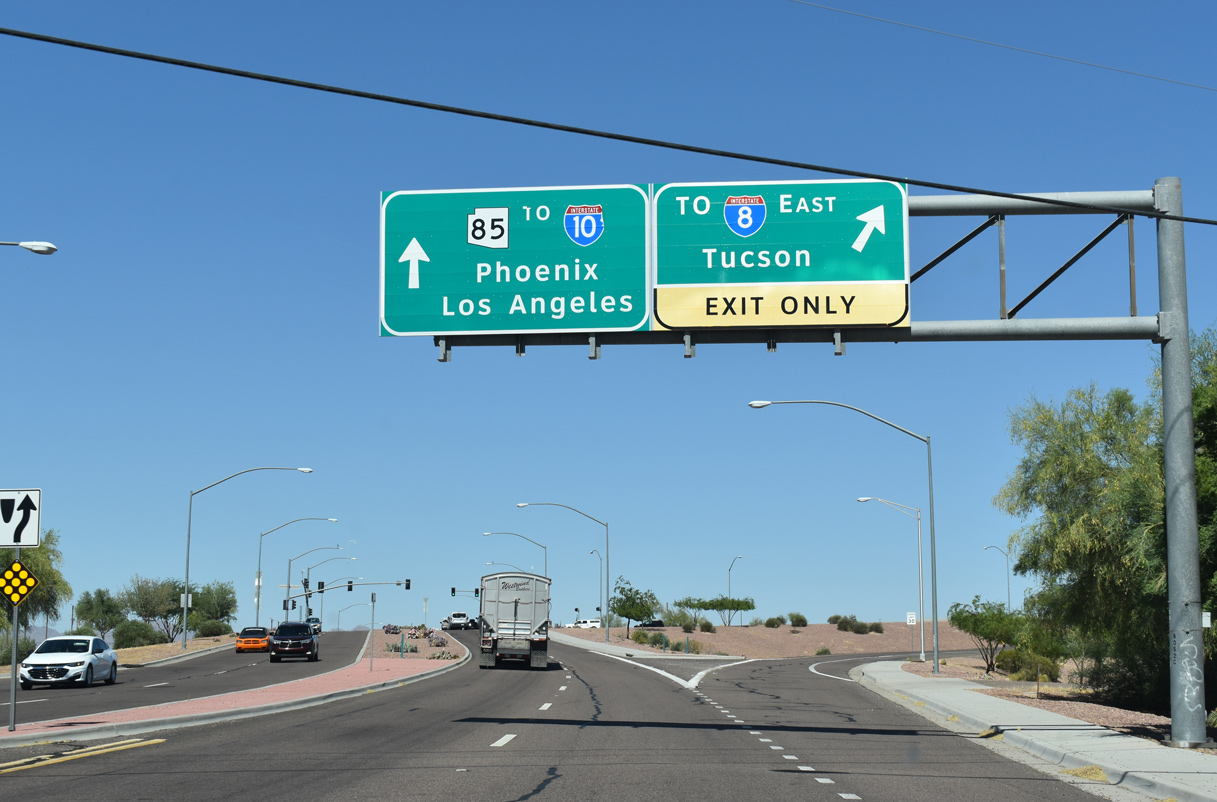
SR 85 splits with Business Loop I-8 north to I-10 near Goodyear just beyond the forthcoming Gila Bend Canal.
05/28/21
Business Loop I-8 returns to Interstate 8, 2.52 miles southeast from SR 85 via Butterfield Trail.
05/28/21
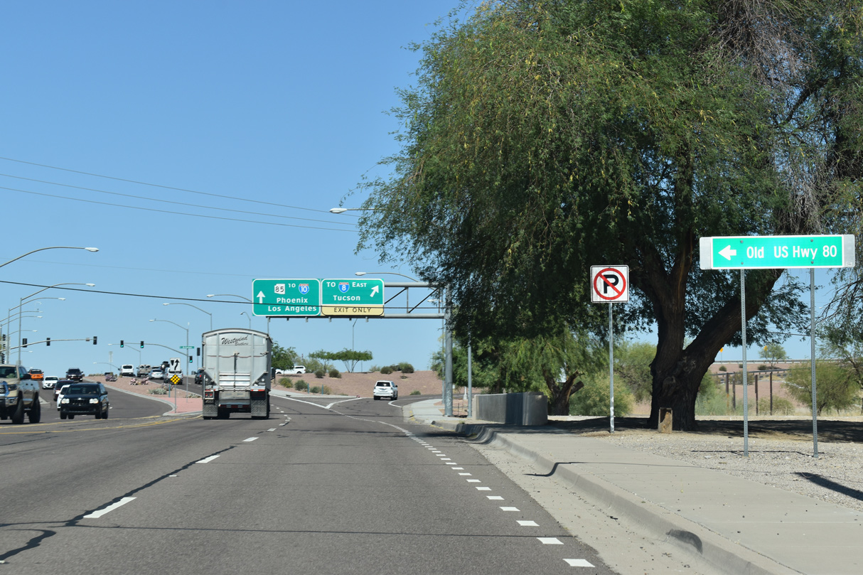
Replaced by SR 85 to the east, Old US Highway 80 parallels Gila Bend Canal north from Gila Bend to Cotton Center.
05/28/21
Business Loop I-8 separates from SR 85 and Pima Street just ahead of the signalized intersection built in place of a grade separation in 2011.
05/28/21

Business Loop I-8 continues east along a ramp from Pima Street adjacent to the Butterfield Trail bridge spanning the Union Pacific Railroad.
05/28/21
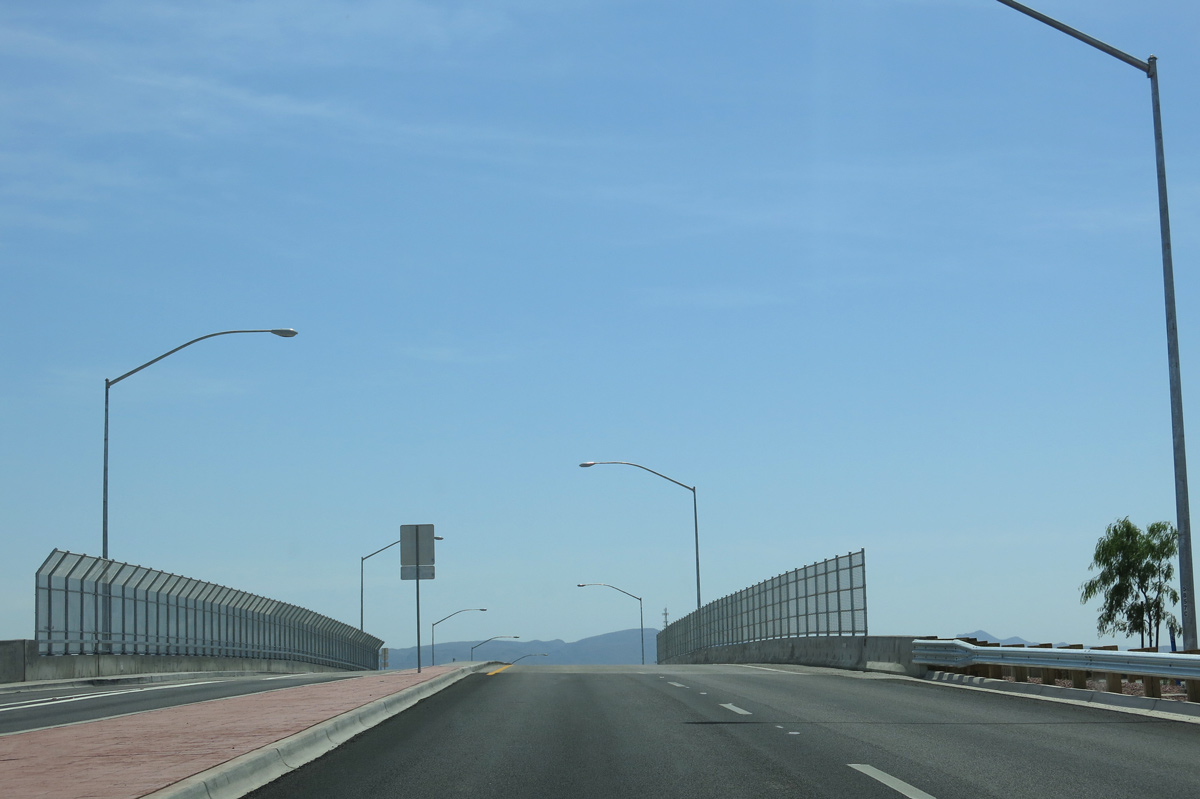
A new overpass was constructed for Butterfield Trail across the Union Pacific Railroad line as part of the State Route 85 Safety and Enhancement Project in Gila Bend completed in 2012.
04/07/13
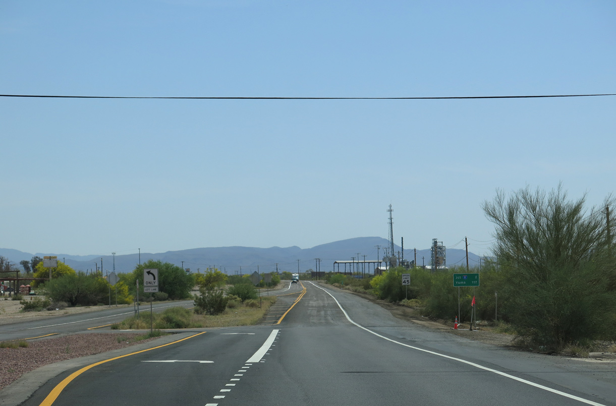
Business Loop I-8 east to Interstate 8 west from SR 85 leads 117 miles to Yuma.
04/07/13
The confirming marker posted southeast of SR 85 and the UP Railroad was removed by 2011.
11/12/07

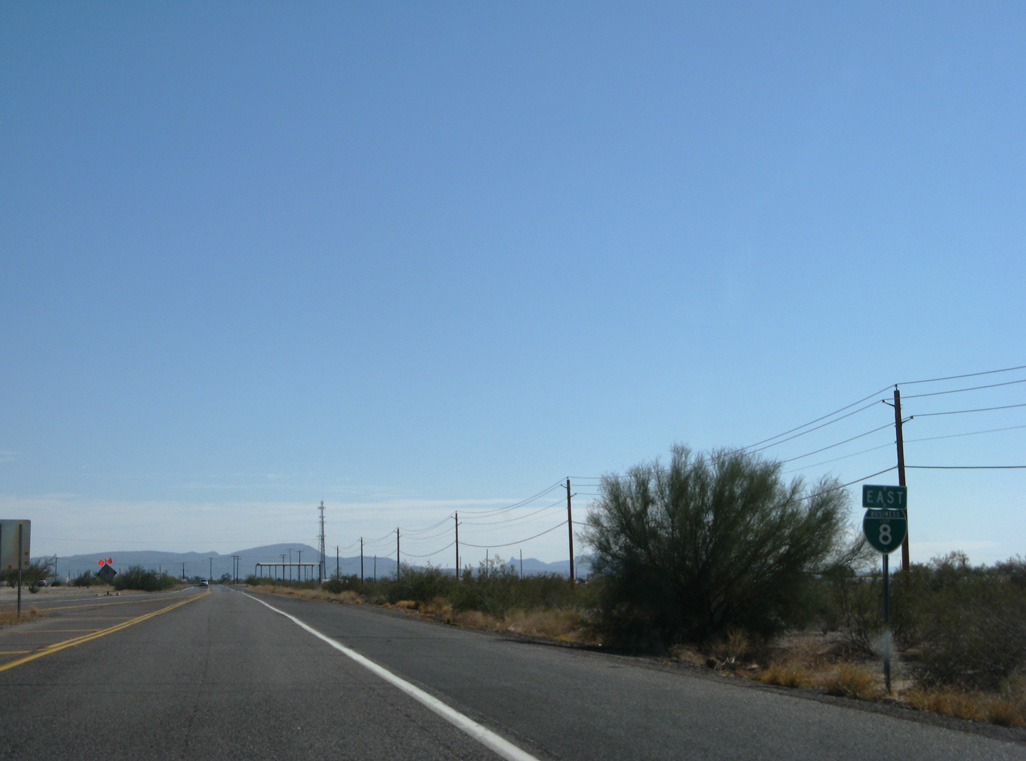
Continuing southeast from E Main Street along Butterfield Trail.
11/12/07
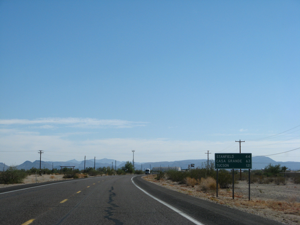
Stanfield is 44 miles east of Gila Bend via I-8 and SR 84. Casa Grande is 56 miles via SR 84 and 59 miles via I-8 and Exit 172. This distance sign was carbon copied nonetheless.
11/12/07

Business Loop I-8 converges with Interstate 8 southeast of Old Highway 84 at a diamond interchange (Exit 119).
11/12/07

Passing south of Gila Bend, Interstate 8 travels west to Yuma, El Centro and San Diego, California.
11/12/07
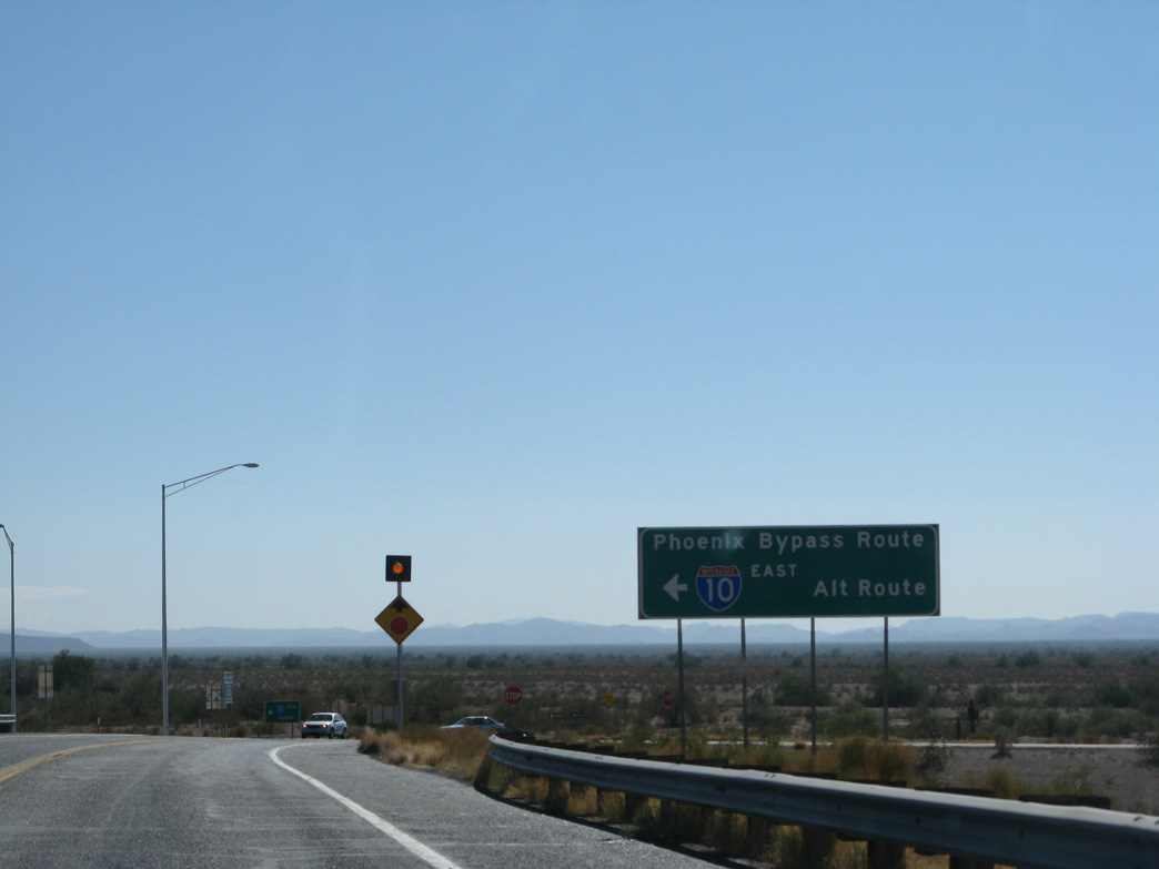
The Phoenix Bypass route via SR 85 and Business Loop I-8 contines east to Tucson along Interstate 8 past Casa Grande.
11/12/07
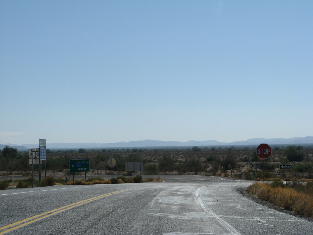
9 Mine Well Road ties into the east end of Business Loop I-8.
11/12/07
References:
http://www.dot.state.az.us/ ROADS/sr85/index.htm
Photo Credits:
- Andy Field: 11/12/07, 04/07/13, 05/28/21
Connect with:
Page Updated Wednesday April 06, 2022.