
Interstate 8
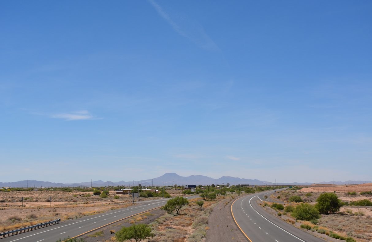
Interstate 8 travels west from Trekell Road near Casa Grande toward the Table Top Mountains and Sonoran Desert National Monument. - 04/26/2017
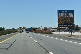
Interstate 8 crosses the Colorado River into Yuma, Arizona. Yuma is the agricultural center of southwest Arizona, known for its warm temperatures (in the Summer, Yuma routinely is the hottest city in the state). Yuma's population grows by 100,000 during the Winter as snowbirds flock to the warmth and sun. While the majority of Yuma is within the first three miles of I-8, the "suburb" of Yuma called The Foothills is located at Exit 12. Yuma is also known for the strong Marine Corps presence, with MCAS Yuma and the Yuma Proving Ground located around the city.
Heading east, I-8 climbs into the Gila Mountains and enters Telegraph Pass. The original route of U.S. 80 bypassed these mountains and hugged the river, while a 1928-30 realignment brought U.S. 80 through Telegraph Pass. When I-8 was constructed through the pass, terrain dictated the present design which includes a "Wrong-Way" section where the westbound roadway crosses the eastbound lanes.
On the east side of the pass, I-8 enters the Mohawk Valley, which was carved by the Gila River. Wellton is the business center of the valley and known as an agricultural area. Paralleling the Gila River eastward from there, I-8 passes Tacna and Mohawk before leaving the Mohawk Valley through Mountain Pass.
Dateland is home of date shakes, followed by Aztec and Sentinel. Between Dateland and Sentinel, the only traveler's service (an old Stuckeys) closed in 1984 and has long since been demolished. Gila Bend is located where the Gila River bends west (from a south flow). The town has long been a travelers waypoint, as well as a farming community. Several motels and gas stations are in town, including the Best Western Space Age Lodge, with a flying saucer atop the building.
Interstate 8 breaks away from old U.S. 80 at this point and heads east, paralleling old Arizona State Route 84. While U.S. 80 continued northeast into Phoenix, I-8 bee lines east toward Casa Grande. The next 59 miles are lightly trafficked as most of the thru traffic takes SR 85 (old U.S. 80) north to Buckeye where it connects with I-10 into Phoenix. Interstate 8 passes through the Sonoran Desert National Monument for 45 miles, a monument established in 1996 by President Bill Clinton. No traveler services are available within the monument.
I-8 has the longest exit less section of interstate in Arizona - miles 119 to 140 have no exits. While Phoenix is 40 miles north of Interstate 8, it seems a world away when driving the freeway. The next junction is SR 84, which parallels the newer interstate into Casa Grande. SR 84 links I-8 east with SR 347, which travels through the Ak-Chin Indian community and Gila River Indian Reservation to reach Interstate 10 just south of Chandler and Phoenix.
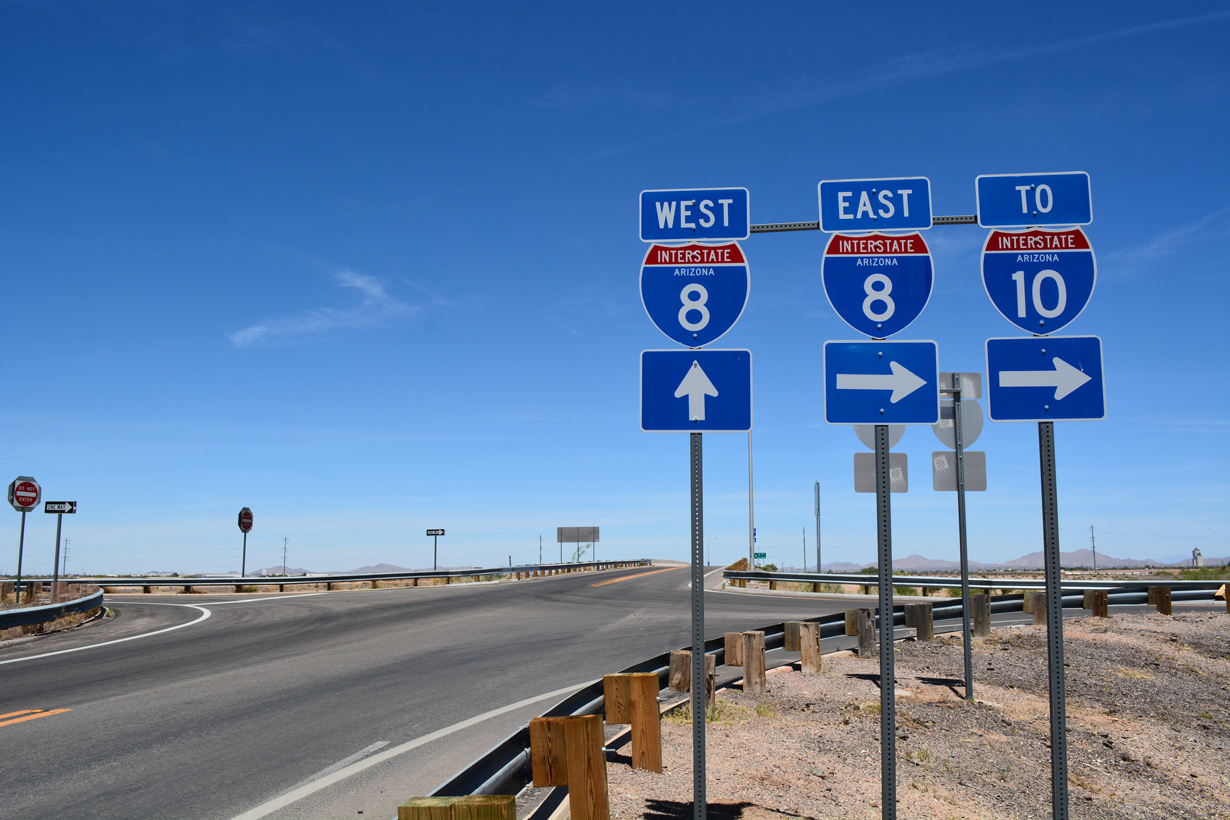
Interstate 8 stays south of Casa Grande, then unceremoniously ends at I-10 within southeastern reaches of the Casa Grande city limits. Most traffic continues east on Interstate 10 towards Tucson and El Paso.
Interstate 8 Arizona Guides
East

West
Business Routes
Business Loop I-8 - Yuma - 4 photos
Interstate 8 replaced U.S. 80 between Yuma and Gila Bend, and State Route 84 between Gila Bend and the present west end of SR 84. There are two business loops from Interstate 8. The loop through Yuma extends south from Winterhaven, California and east along former U.S. 80 to Exit 9. The loop through Gila Bend overlays old U.S. 80 and old SR 84.
Construction Timeline:
- 1959: First sections completed between Sentinel and Piedra, and Gila Bend (east) to SR 84.
- 1962: Dateland to Sentinel and Piedra to Gila Bend (west) opened.
- 1964: Mohawk to Dateland open.
- 1966: Miles 160-172 open.
- 1967: Telegraph Pass (Miles 11-23) open.
- 1968: Miles 3-11 in Yuma open.
- 1969: Miles 23 to 35 open.
- 1970: Mile 40 to Mohawk open. Miles 172-178 open.
- 1971: Gila Bend bypass (Miles 115-119) open.
- 1972: 16th street in Yuma to Arizona 280 open.
- 1976: Giss Parkway to 16th Street in Yuma open.
- 1979: Colorado River bridge opens in California and Arizona, completing Interstate 8.
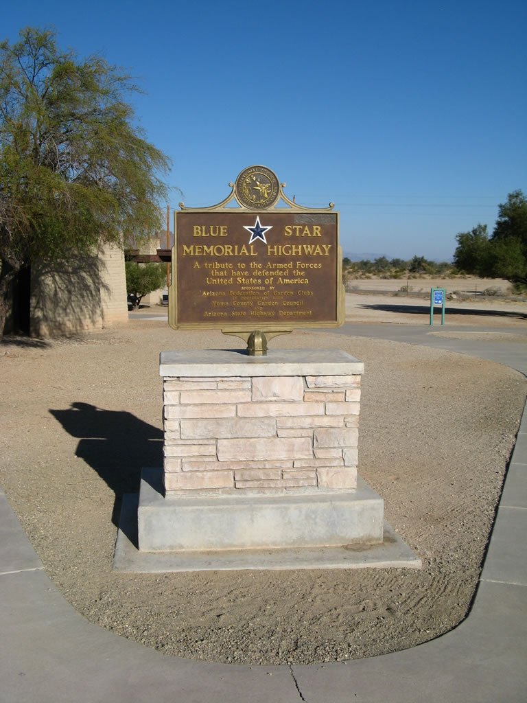
Interstate 8 is a Blue Star Memorial Highway in honor of the Armed Forces that have defended the United States of America. This plaque was placed by the Arizona Federation of Garden Clubs and Yuma County Garden Council at the Mohawk Rest Area near Milepost 55.
03/19/07
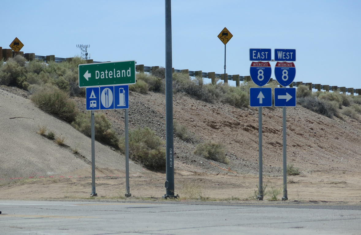
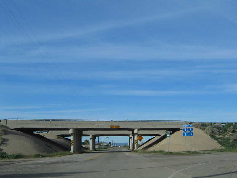
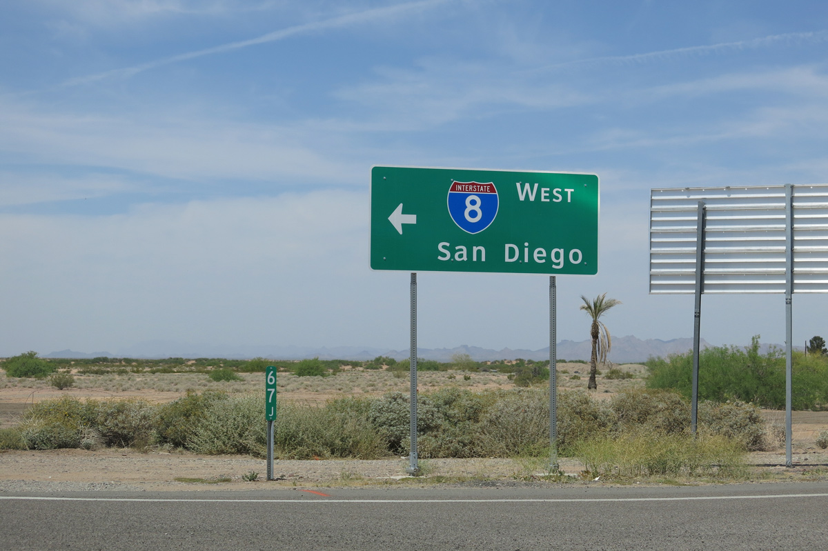
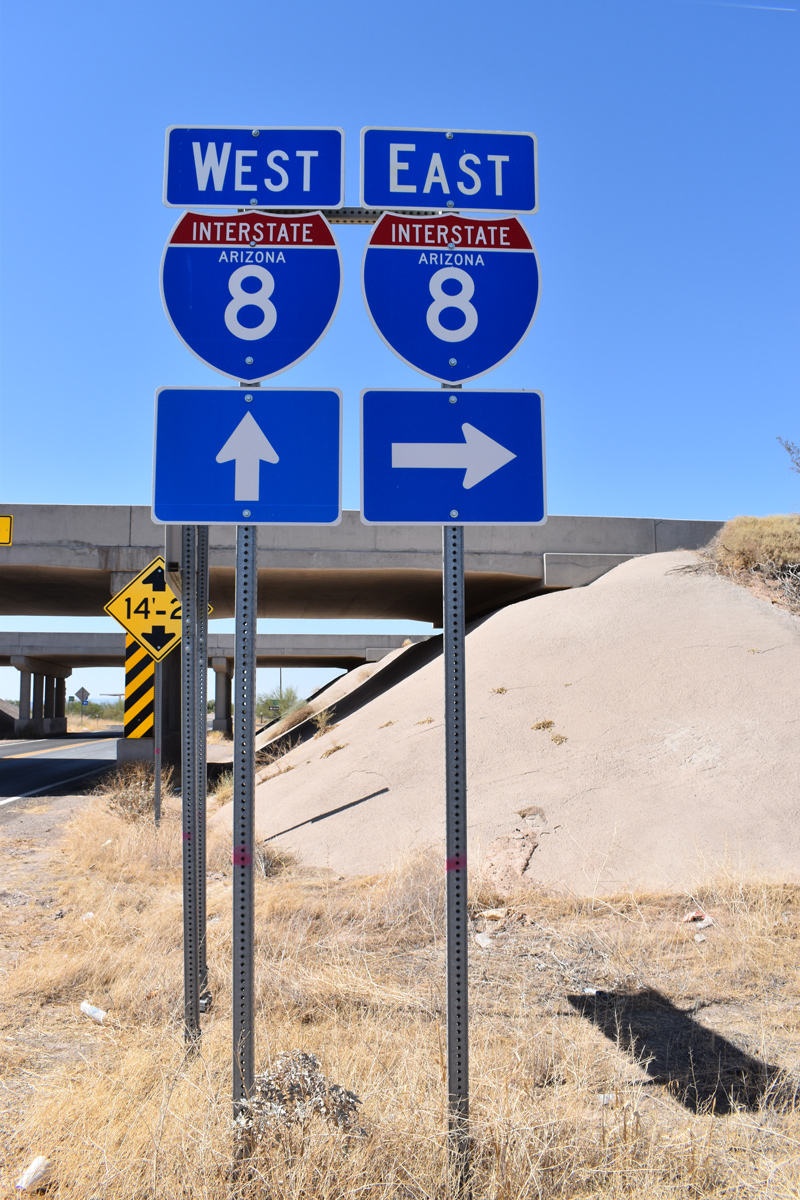
Avenue 64E south meets Interstate 8 at a diamond interchange (Exit 67) in Dateland.
04/07/13
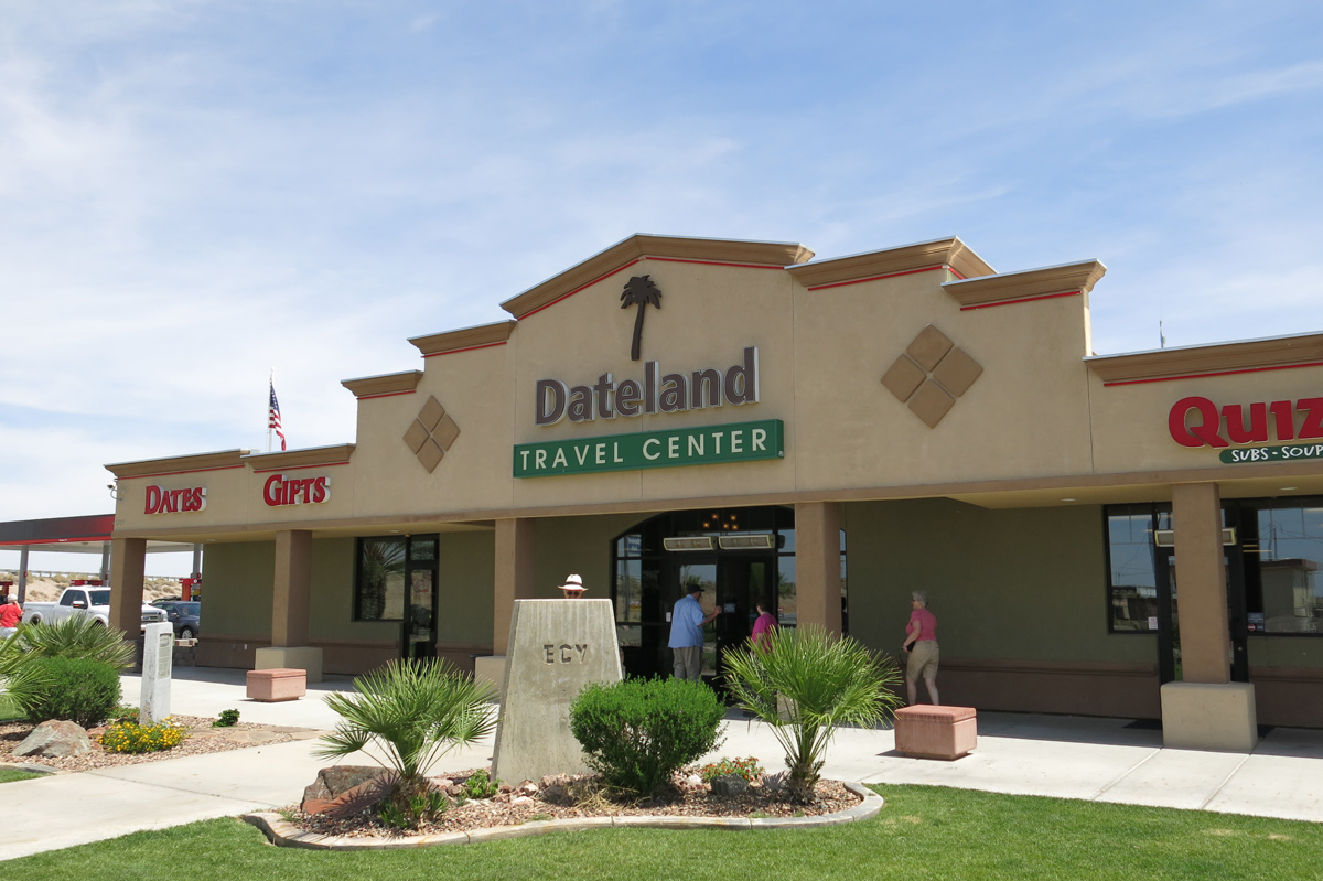
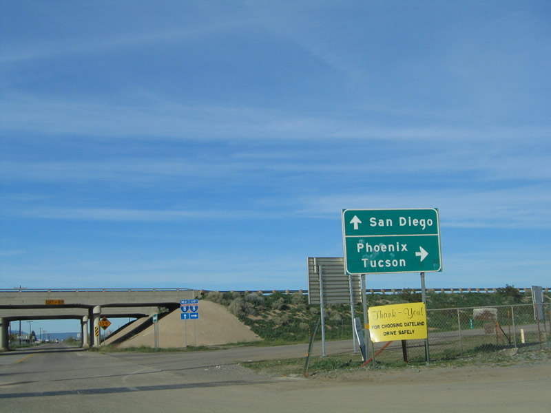
Dateland is known for Medjool Dates and the Dateland Travel Center along Avenue 64E sells date shakes.
04/07/13
Avenue 64E stems north from Old U.S. 80 into the exchange with Interstate 8 at Dateland.
04/07/13
01/14/05
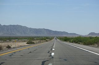
Interstate 8 travels west across San Cristobal Valley to the Mohawk Mountains en route to Wellton and Yuma.
01/14/05
04/07/13
Old U.S. 80 parallels the Union Pacific Railroad line east from Dateland to the south Frontage Road for Interstate 8 at Aztec.
05/31/21
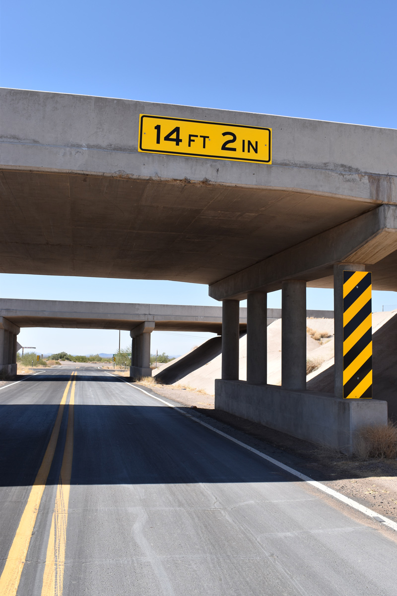
The overpasses carrying Interstate 8 over Aztec Road at Exit 73 were built in 1962.
05/31/21
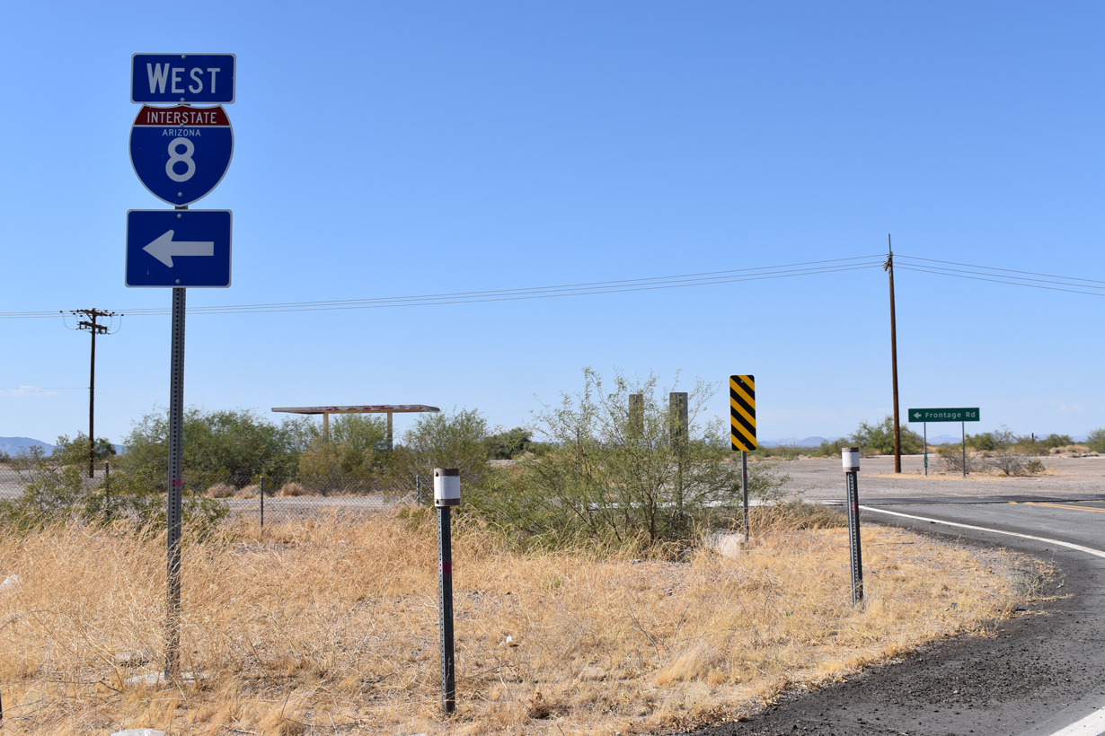
Aztec Road north at the entrance ramp for Interstate 8 west to Wellton and Gila Bend.
05/31/21

Unpaved Frontage Roads line the north side of Interstate 8 at Exit 73.
05/31/21
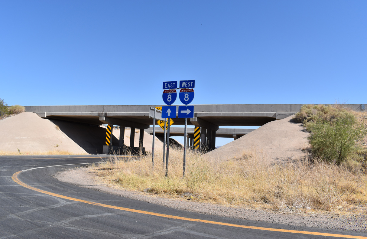
Aztec Road heads south from the north Frontage Roads for I-8 into the diamond interchange at Exit 73.
05/31/21
Aztec Road crosses the Union Pacific Railroad line south of I-8 to Old U.S. 80 by a dairy farm.
05/31/21
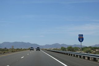
Interstate 8 travels 42 miles east from Aztec to Gila Bend.
05/31/21
Vekol Valley Road north ties into a trumpet interchange (Exit 144) with Interstate 8 north from open desert in Vekol Valley.
05/24/03
Vekol Valley Road parallels Vekol Wash south into the exchange with Interstate 8 in the Vekol Valley.
05/24/03
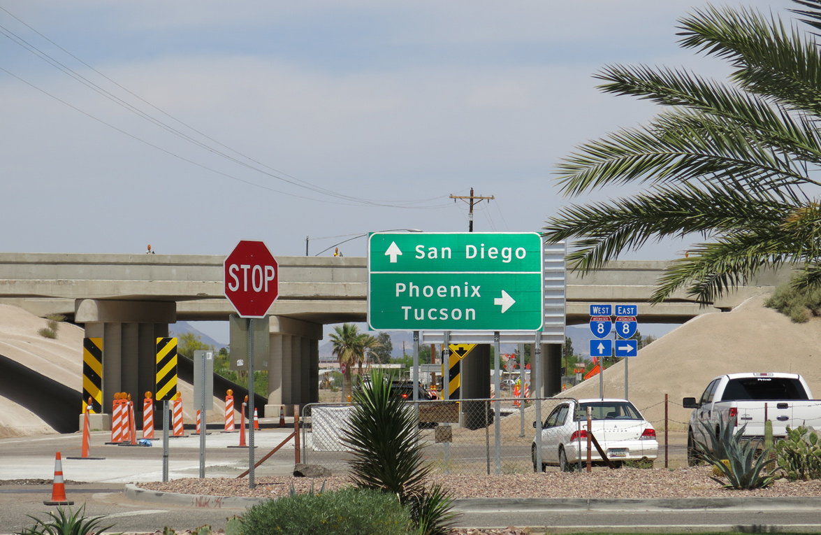
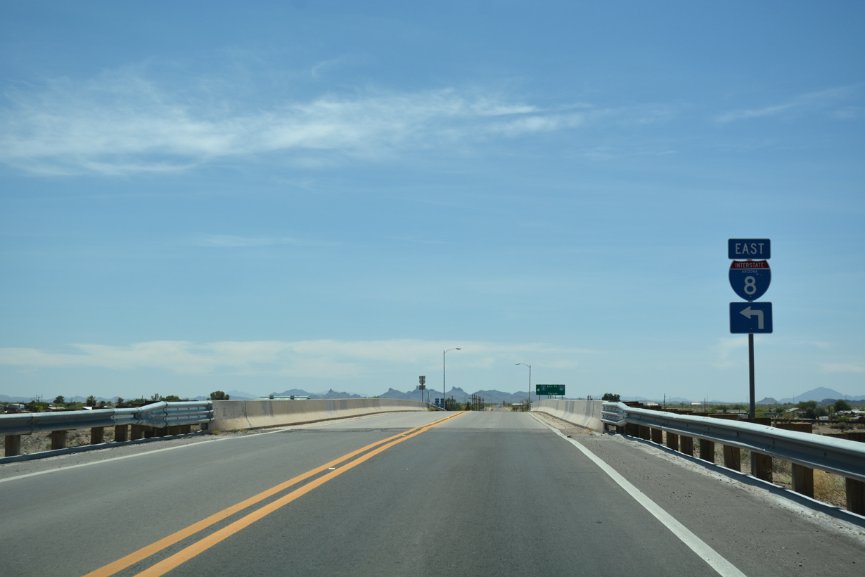
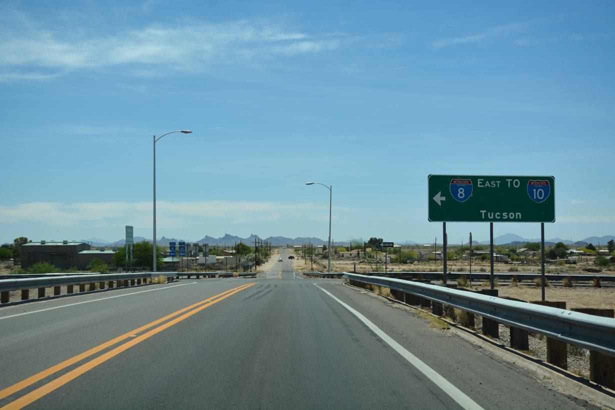
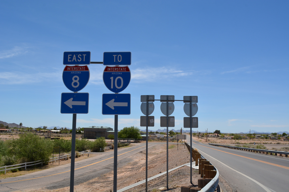
I-8 concludes 3.7 miles east from Trekell Road at Interstate 10 in southeast Casa Grande.
04/26/17
Trekell Road meets Interstate 8 at Exit 174 just west of the Casa Grande Mountains.
04/26/17
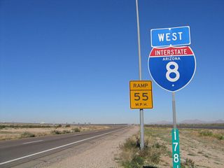
Interstate 8 heads east from Trekell Road to a trumpet interchange (Exit 178) with I-10 just north of Eloy.
04/26/17
The eastbound entrance ramp for Interstate 8 from Trekell Road. The exchange at Exit 174 was built in 1967.
04/26/17
Photo Credits:
- Andy Field: 05/24/03, 03/19/07, 04/07/13, 05/31/21
- AARoads: 01/14/05
- ABRoads: 04/26/17
Connect with:
Page Updated Wednesday April 27, 2022.