
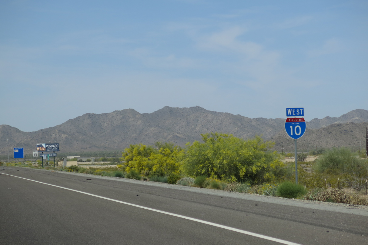
Interstate 10 West - Buckeye to La Paz County
 West
West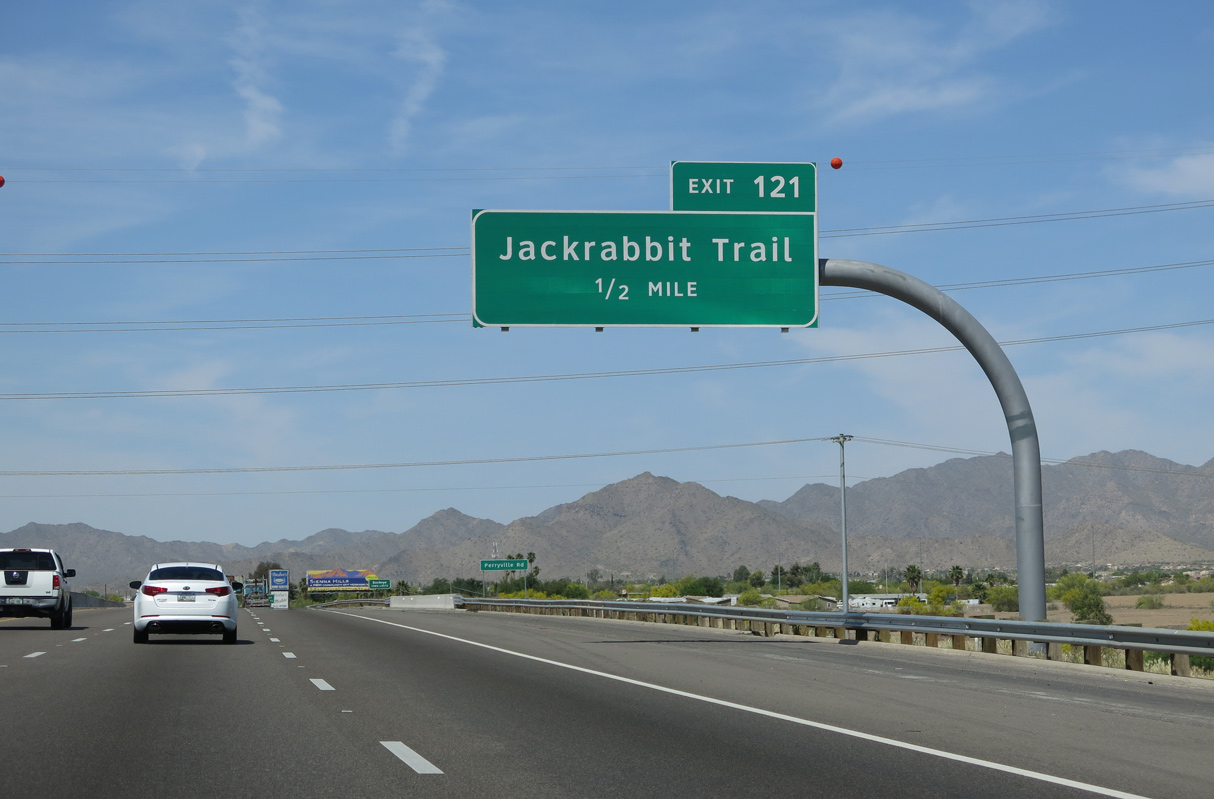
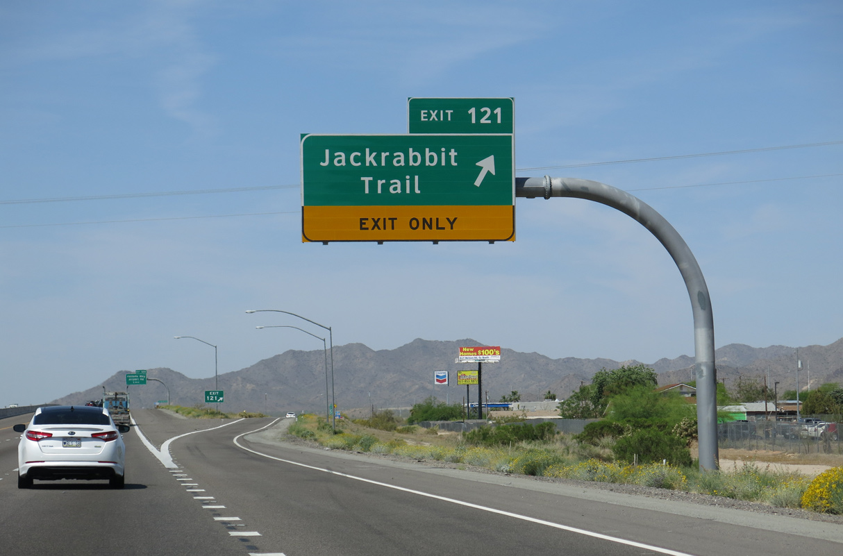
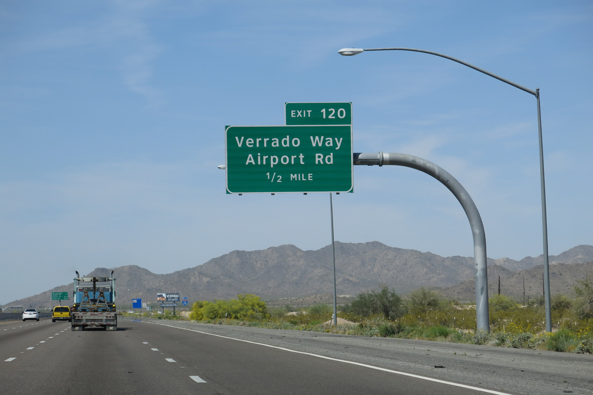
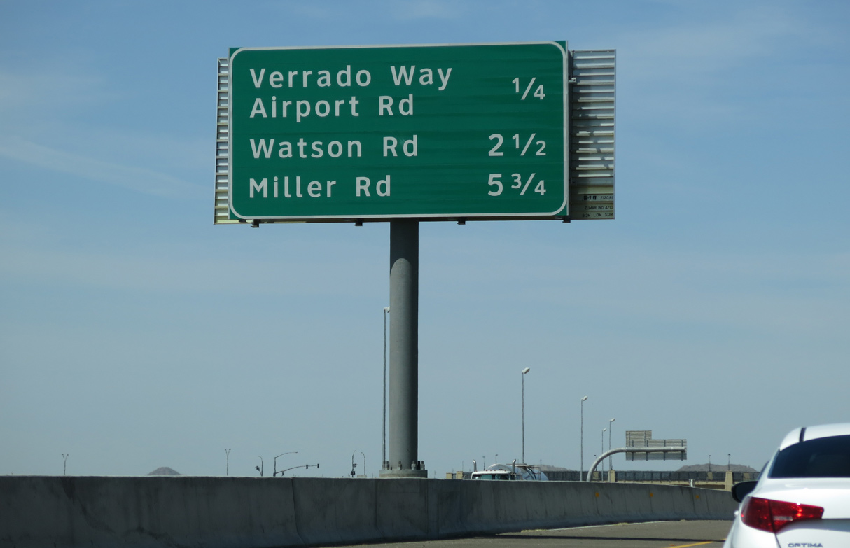
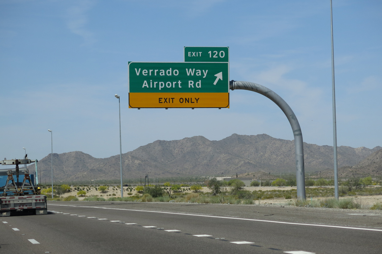
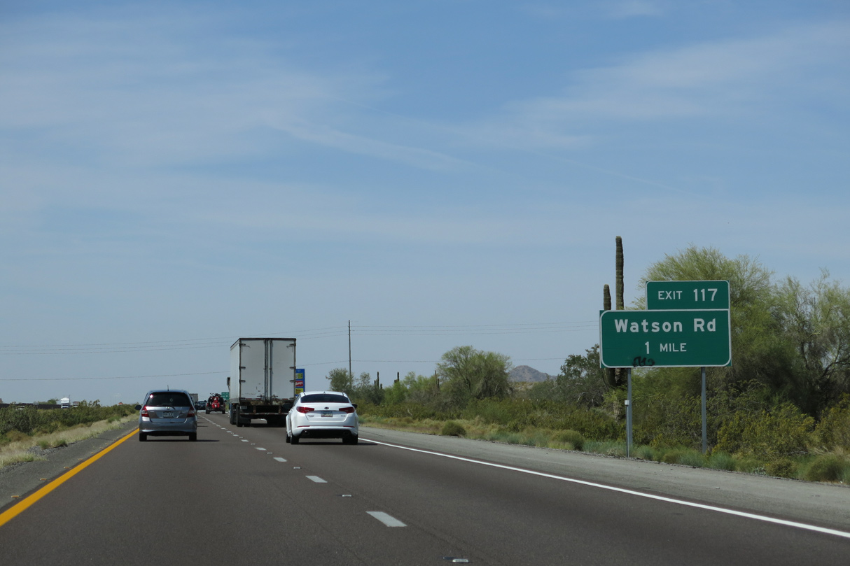
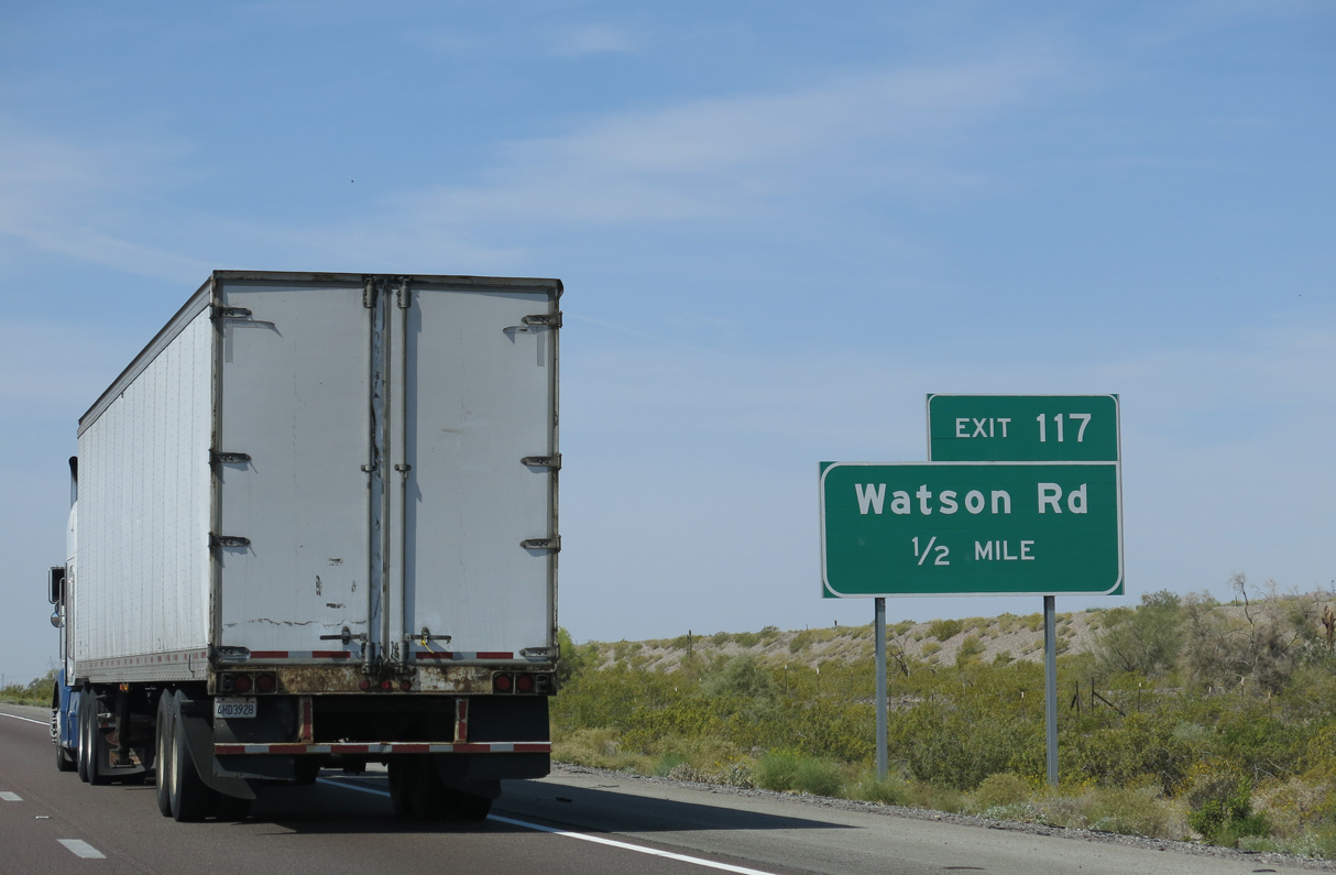
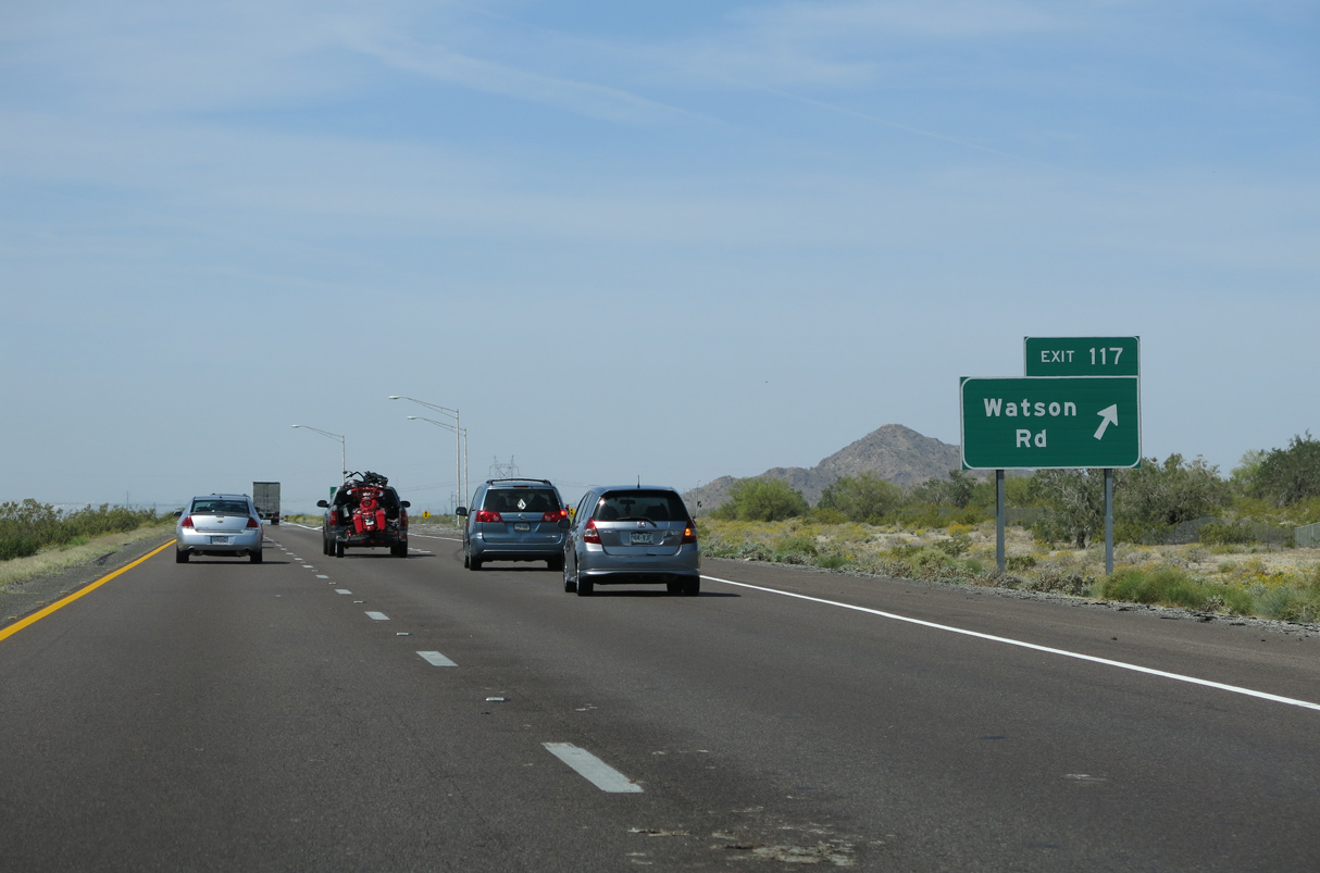
Jackrabbit Trail is the first of six exits for Buckeye along Interstate 10 westbound.
04/07/13
04/07/13
04/07/13
04/07/13
04/07/13
04/07/13
04/07/13
04/07/13
04/07/13
04/07/13
04/07/13
04/07/13
04/07/13
02/14/09
04/07/13
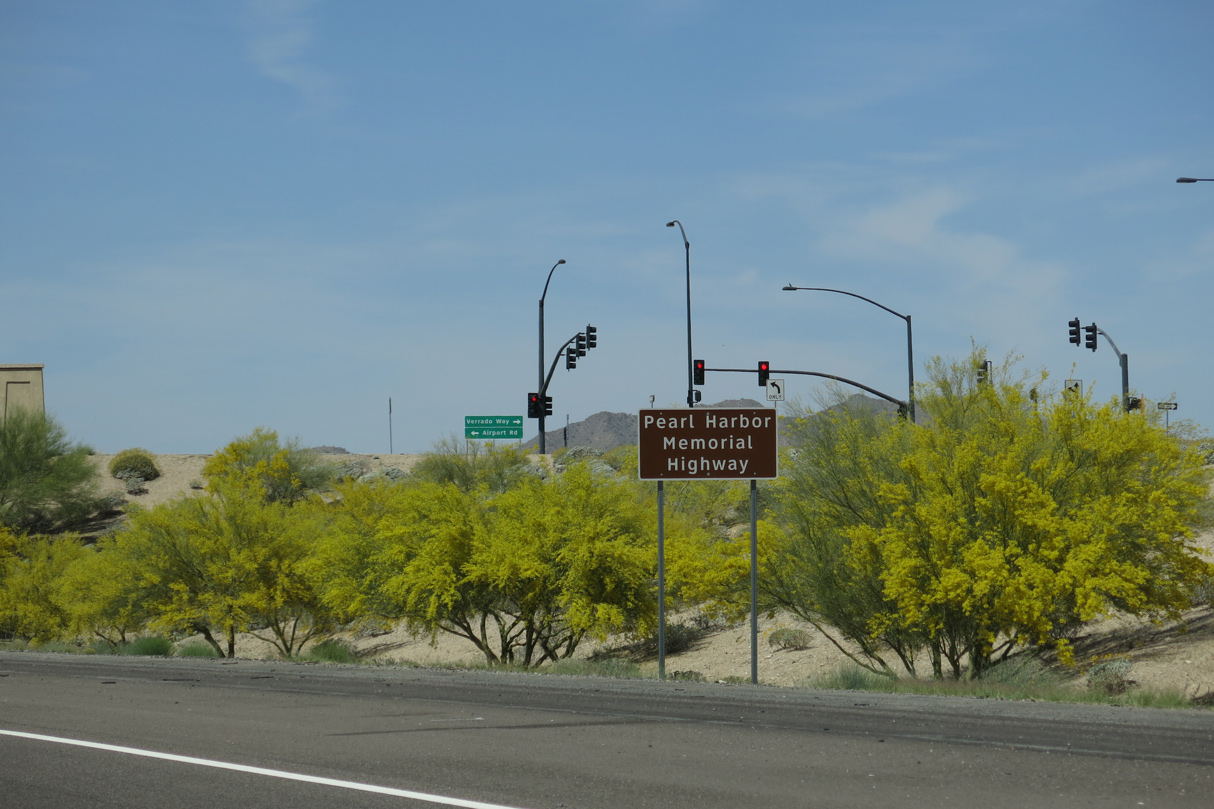
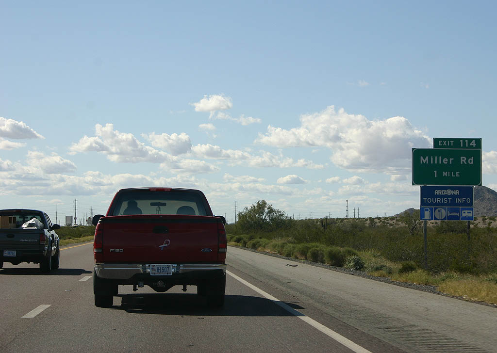
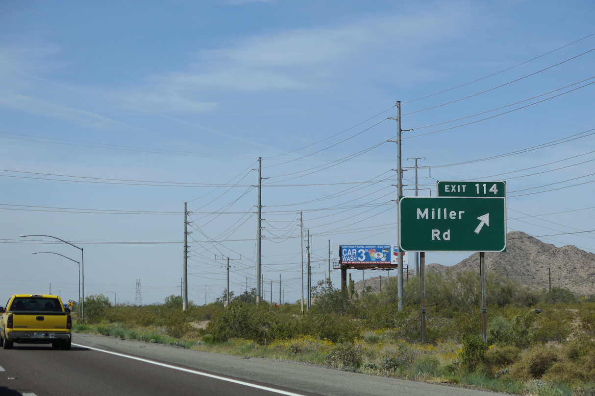
The northern branch of SR 85 provides part of the Phoenix metropolitan area bypass for I-10 between Eloy and Buckeye. The state route runs 34.65 miles south from Exit 112 to Business Loop I-8 in Gila Bend.
04/07/13
04/07/13
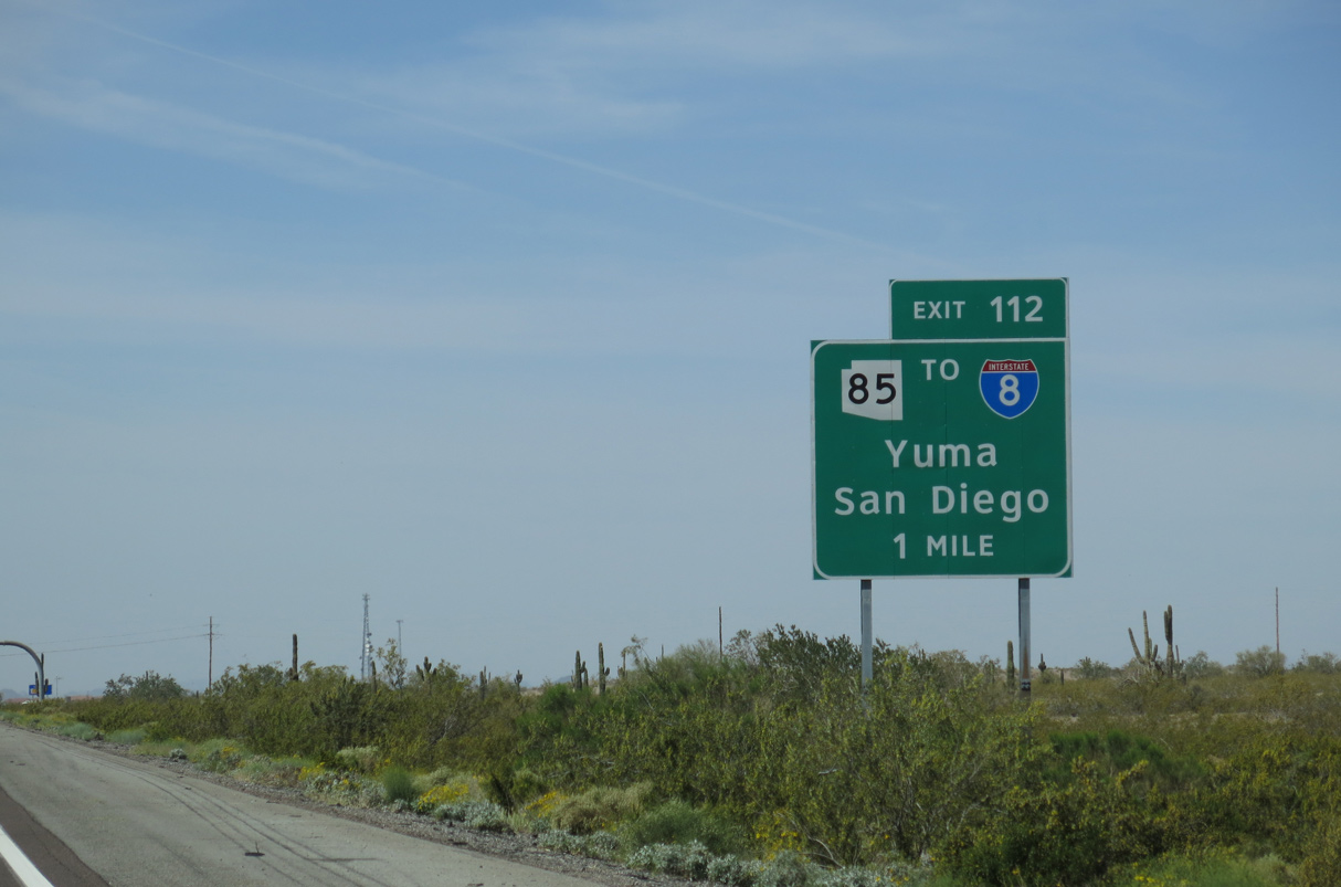
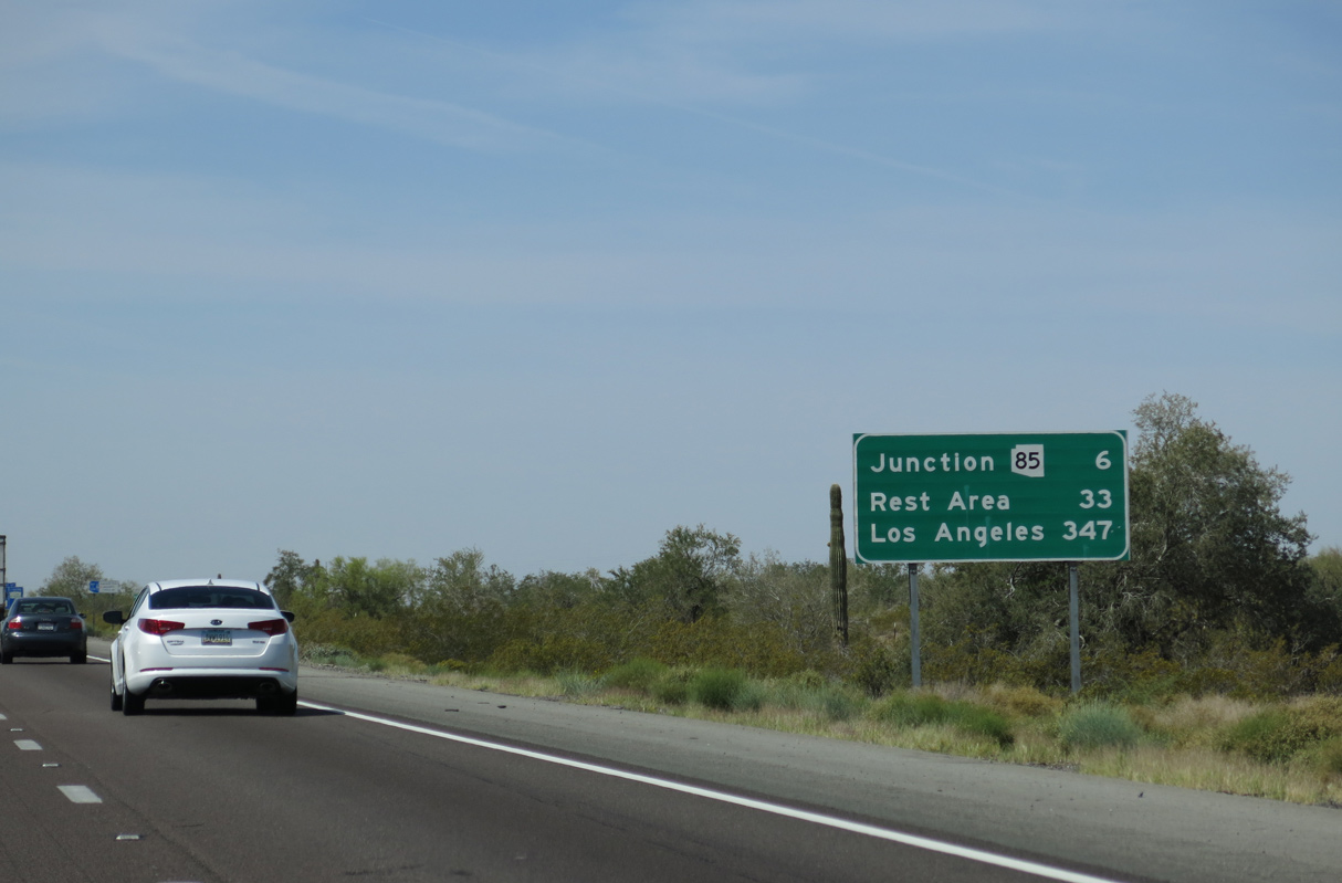
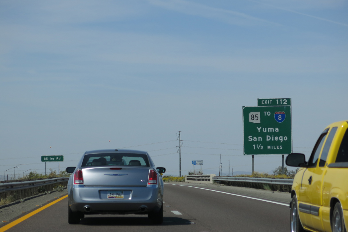
SR 85 constitutes a mostly four lane expressway south to Business Loop I-8. Together the two routes join I-10 with Interstate 8 west to Yuma and San Diego, California.
04/07/13
04/07/13
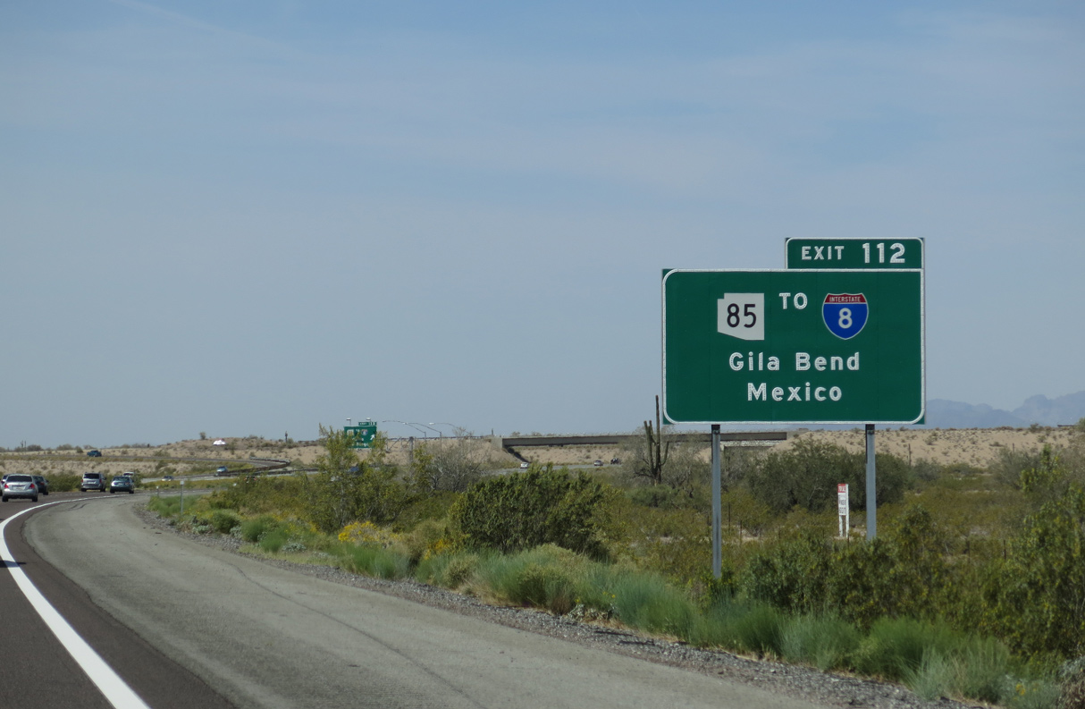
The southern leg of SR 85 travels from Gila Bend Ajo, Why and Sonoyta, Mexico at Lukeville.
04/07/13
04/07/13
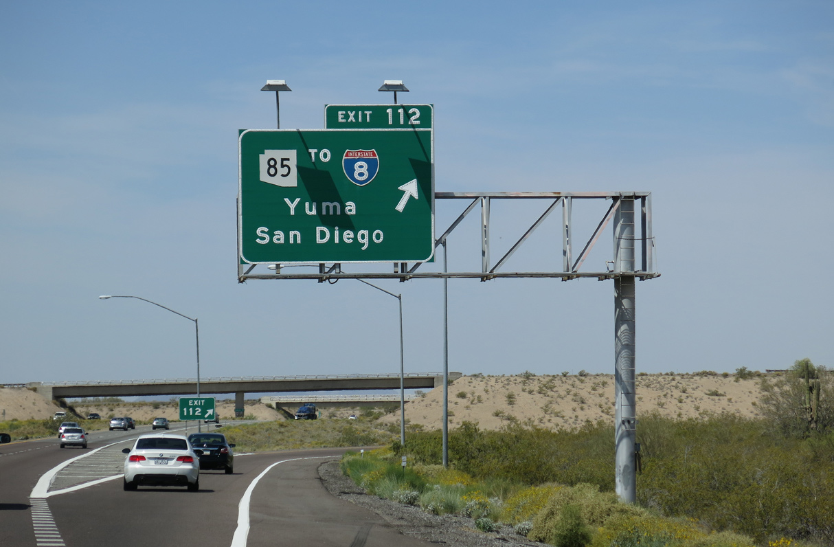
Future road work will upgrade SR 85 to limited access standards south from the directional T interchange (Exit 112) with I-10 to Hazen Road in Buckeye.
04/07/13
04/07/13
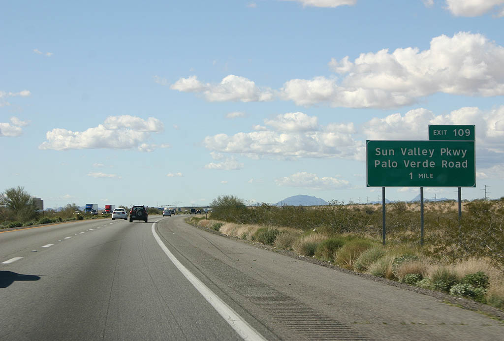
Aiming west northwest, Interstate 10 proceeds from SR 85 to Exit 109 for Sun Valley Parkway and Palo Verde Road. All of the signs from Exit 109 to California were replaced with Clearview font based signs as of 2008.
02/14/09
02/14/09
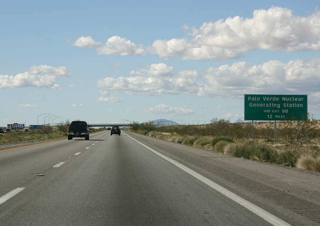
Despite the name, Palo Verde Road south from Exit 109 does not lead directly to the Palo Verde Nuclear Generating Station. The power plant lies south of Exit 98.
02/14/09
02/14/09
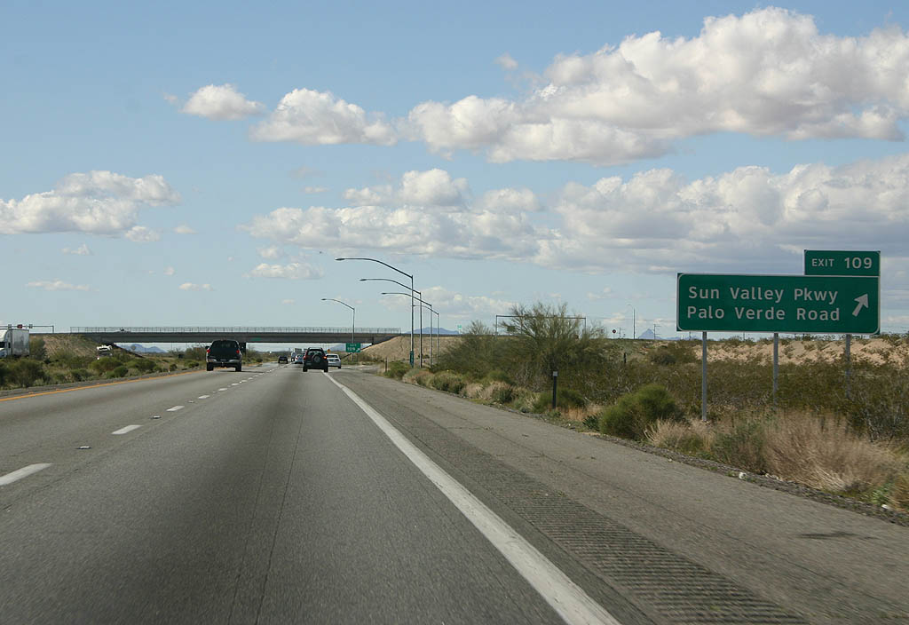
Sun Valley Parkway extends north from the diamond interchange at Exit 109 and Palo Verde Road to suburban development beyond the White Tank Mountains.
02/14/09
02/14/09
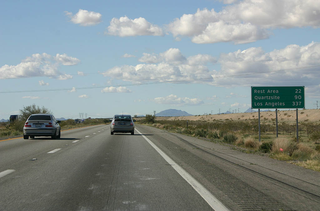
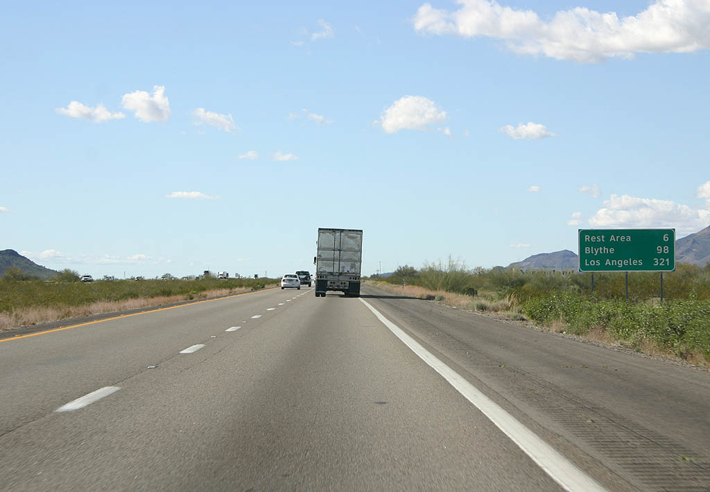
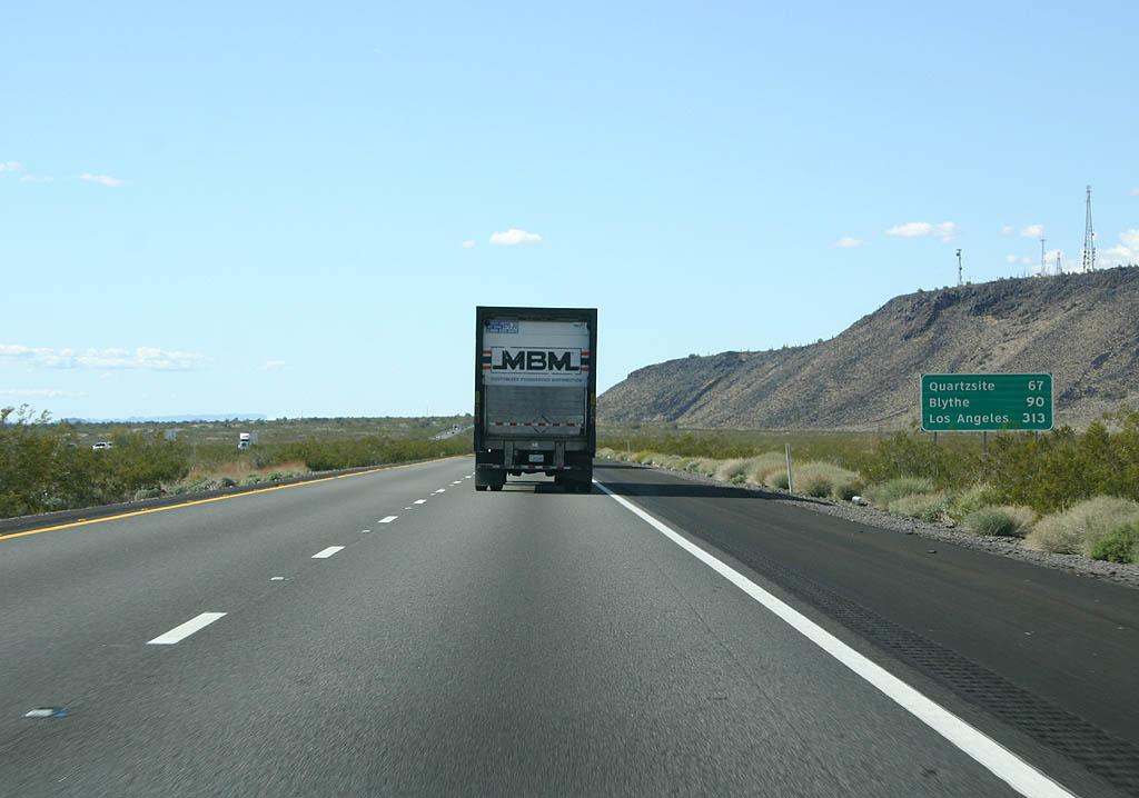
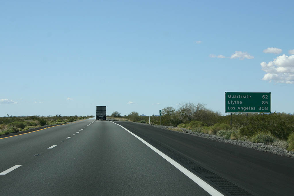
Quartzsite, where Interstate 10 combines with U.S. 95, is 90 miles away followed by Los Angeles, California in 337 miles.
02/14/09
02/14/09
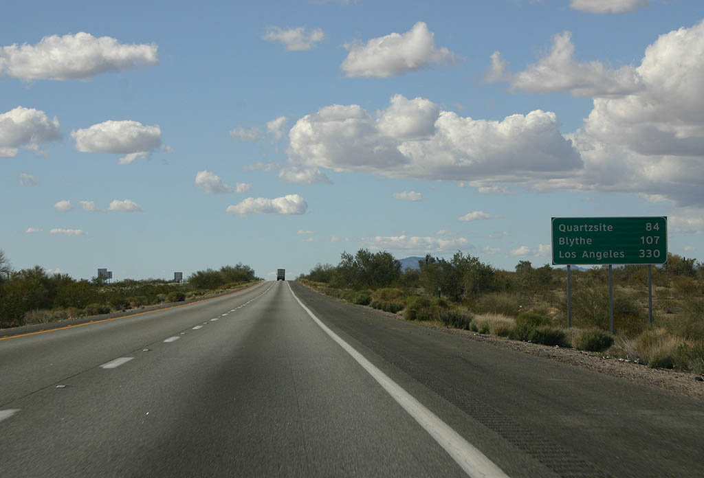
Distance sign to Quartzsite (84 miles), Blythe (107 miles) and Los Angeles (330 miles).
02/14/09
02/14/09
02/14/09
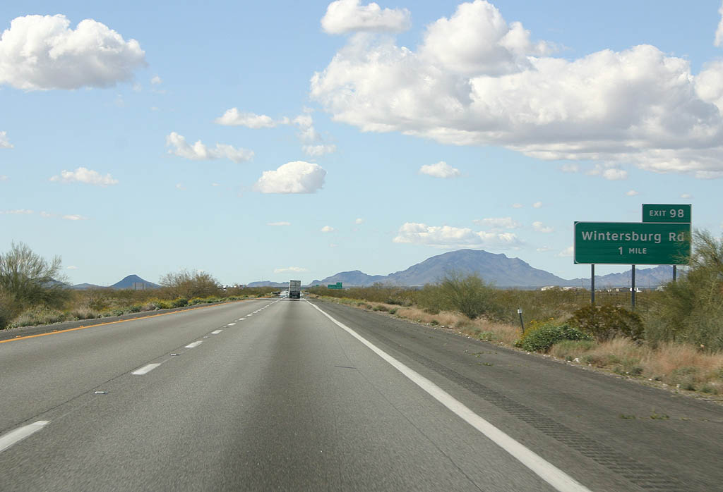
A diamond interchange joins Interstate 10 with Wintersburg Road at Exit 98 in one mile.
02/14/09
02/14/09
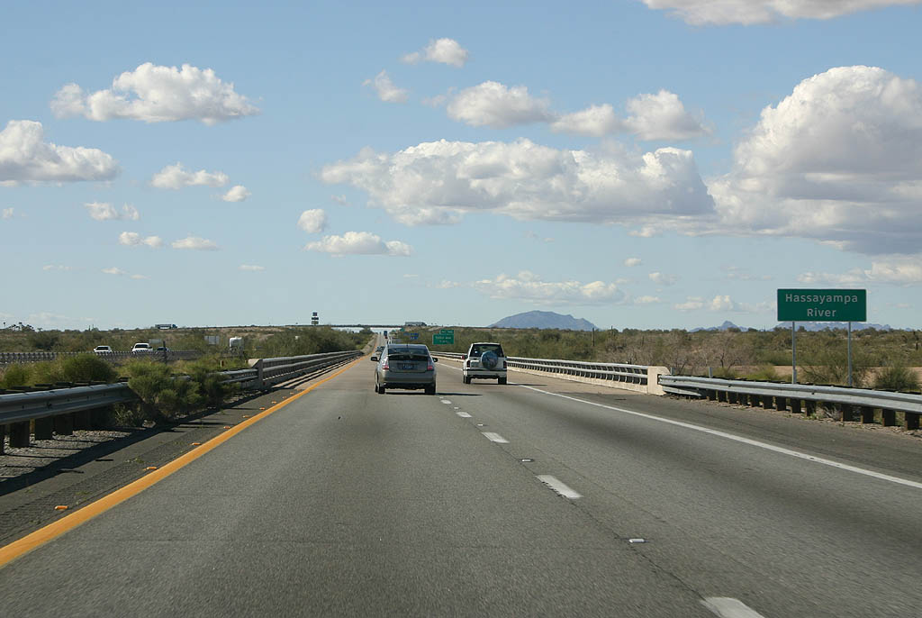
Interstate 10 crosses the Hassayampa River. The Hassayampa River has historically been an underground waterway, and because of that, legend has it that those who drink from it will become liars.
02/14/09
02/14/09
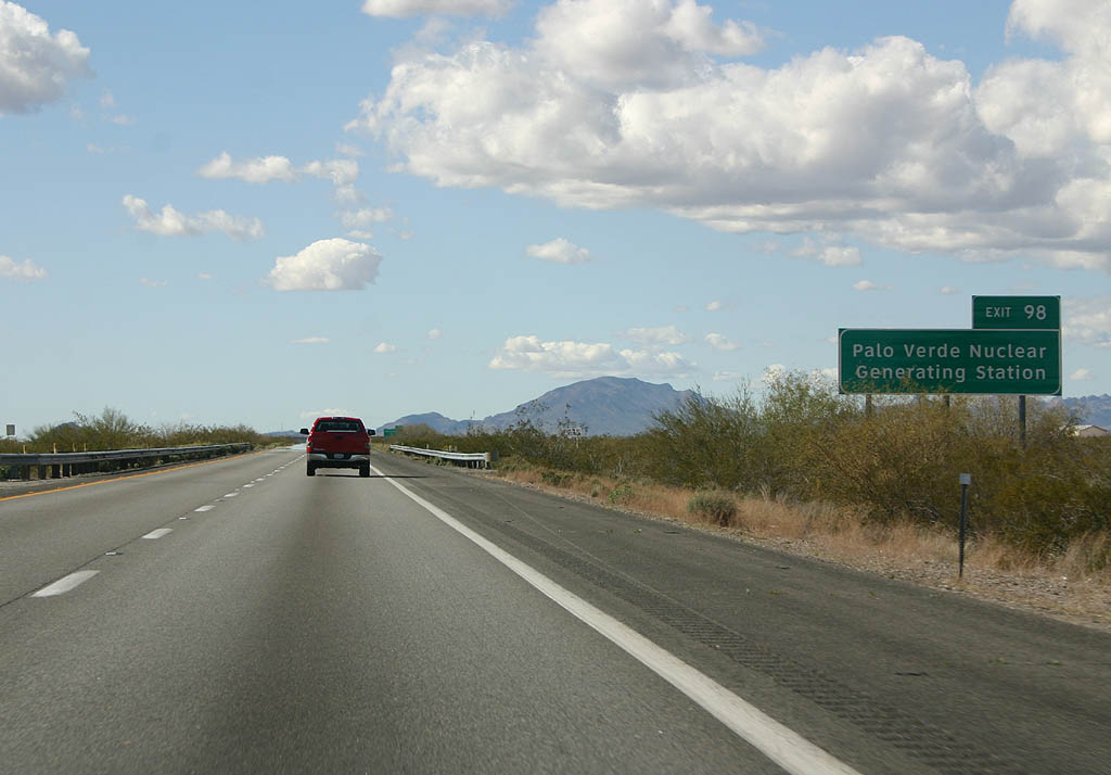
The Palo Verde Nuclear Generating Station is the largest nuclear power plant in the country.
02/14/09
02/14/09

Wintersburg Road runs four miles south to Salome Highway at Wintersburg en route to the Palo Verde Nuclear Generating Station.
02/14/09
02/14/09
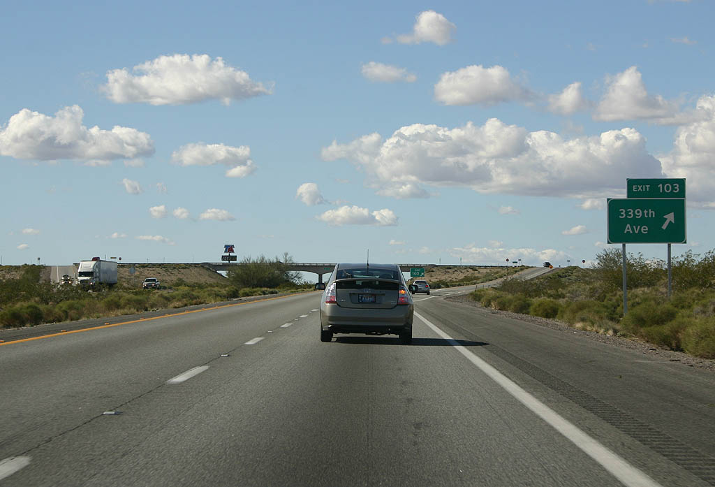
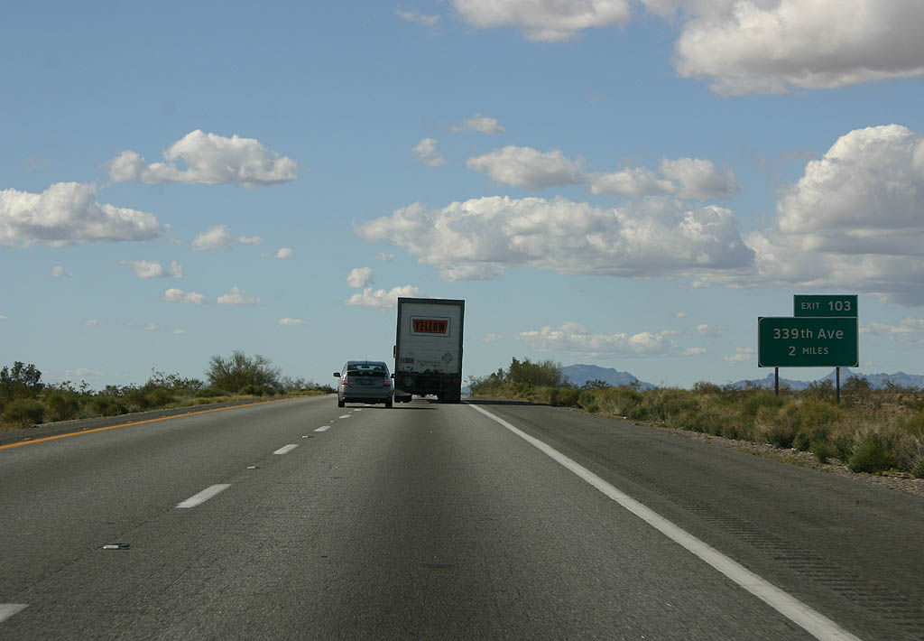
Westbound Interstate 10 reaches Exit 103 for 339th Avenue.
02/14/09
02/14/09
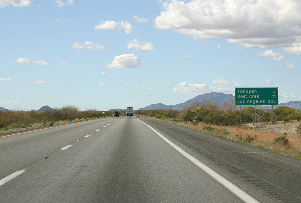
Interstate 10 advances three miles west to Tonopah and 11 miles to the Burnt Well Rest Area.
02/14/09
02/14/09
02/14/09
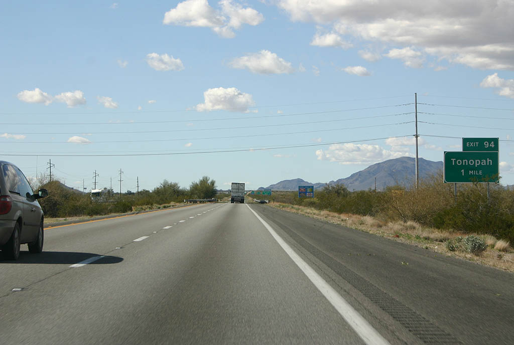
Exit 94 links with 411th Avenue at the settlement of Tonopah.
02/14/09
02/14/09
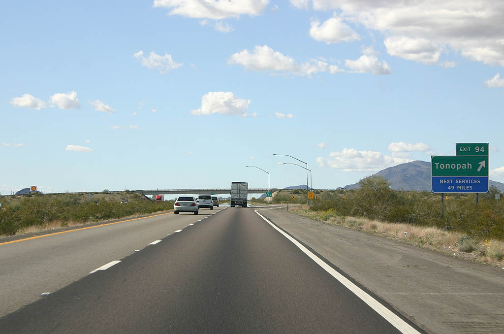
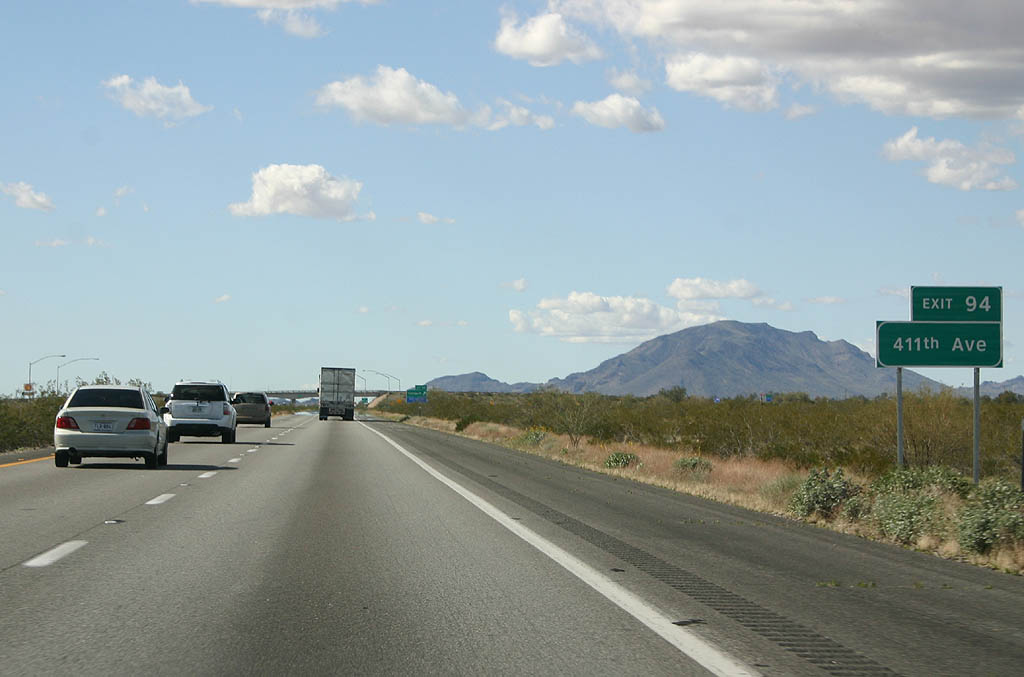
Westbound Interstate 10 at Exit 94 and Tonopah. This is the last exit for an avenue that is numbered based on the Phoenix grid pattern.
02/14/09
02/14/09
02/14/09
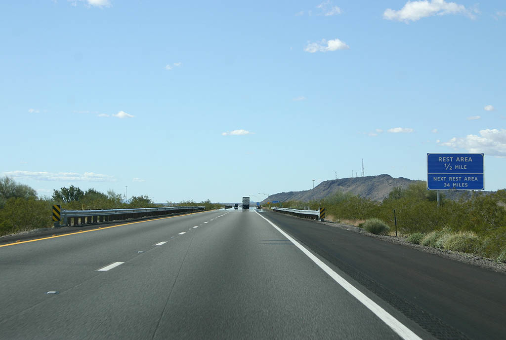
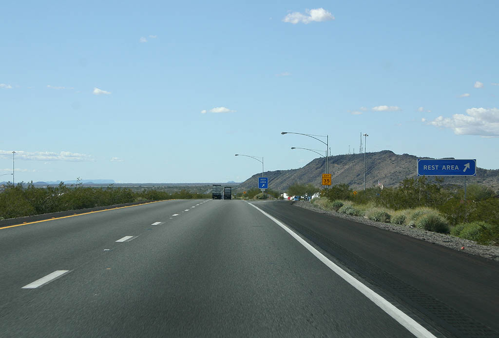
The Burnt Wells Rest Area lies south of Burnt Mountain along Interstate 10 west beyond milepost 87.
02/14/09
02/14/09
02/14/09
02/14/09
02/14/09
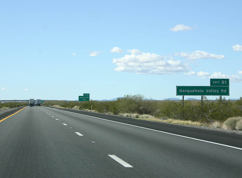
Harquahala Valley Road stems south from Salome Road to agricultural areas on the Harquahala Plain.
02/14/09
02/14/09
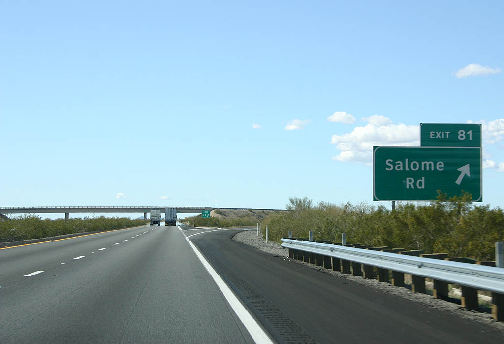
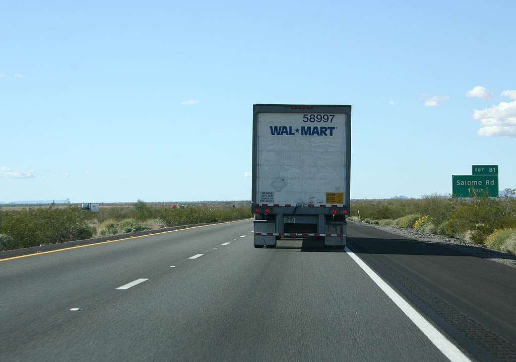
Salome Road angles northwest from Exit 81 to Harrisburg Valley and U.S. 60 at the unincorporated community of Salome.
02/14/09
02/14/09
02/14/09
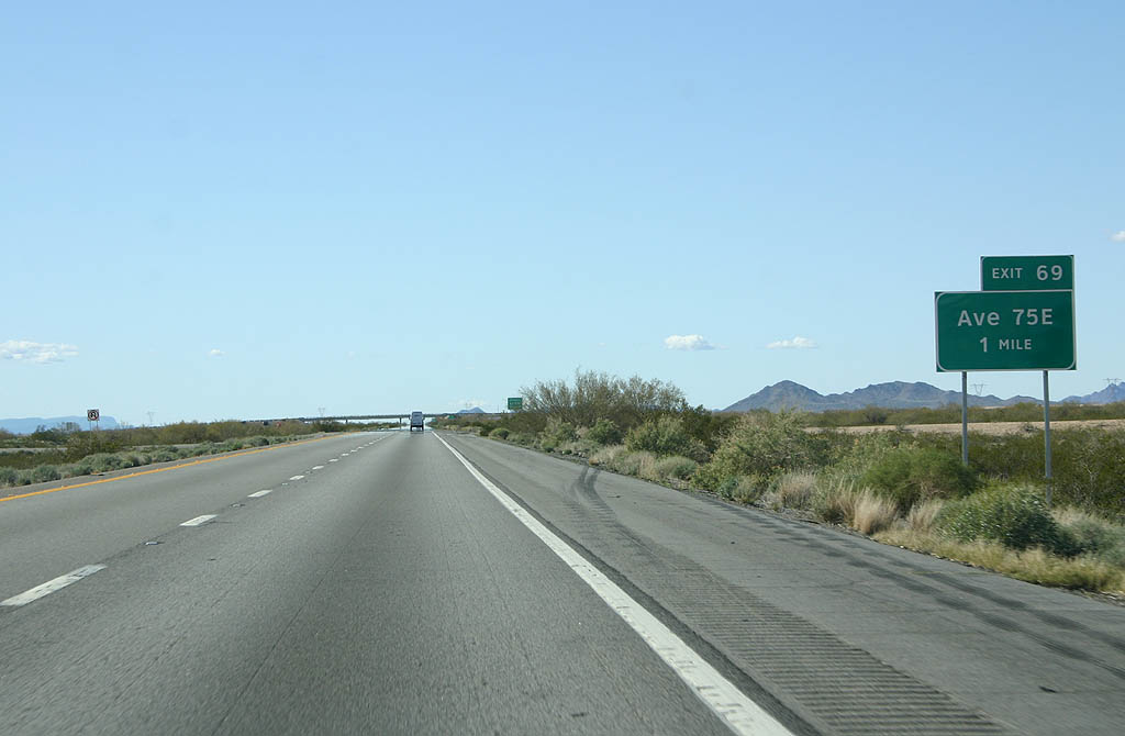
Interstate 10 advances one mile west to a diamond interchange (Exit 69) with Avenue 75E.
02/14/09
02/14/09
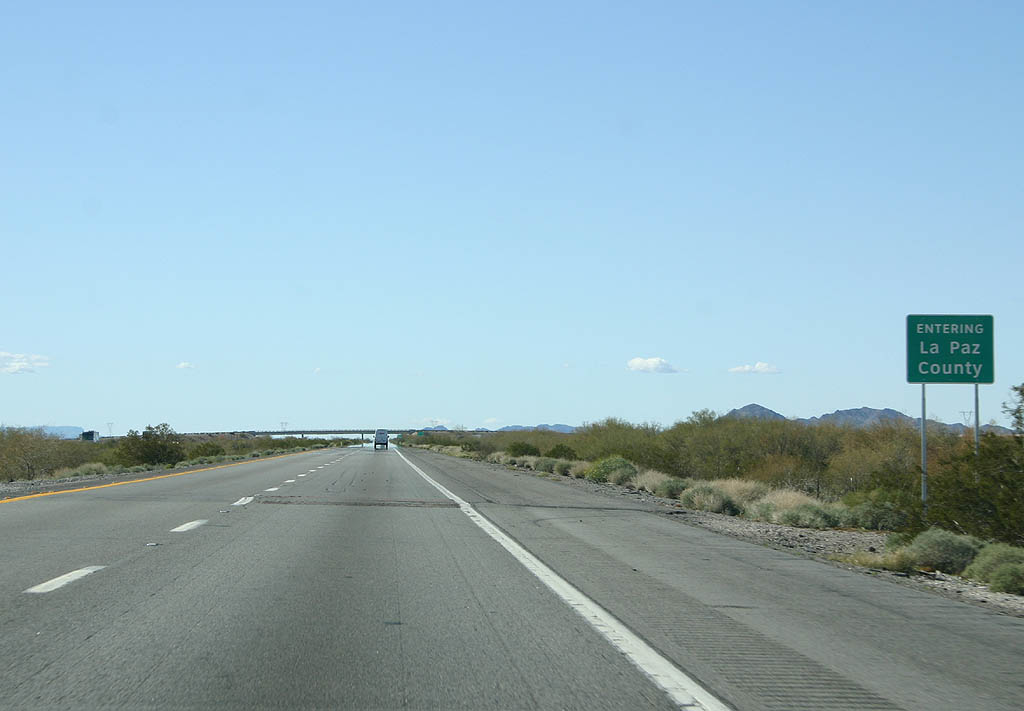
Interstate 10 enters La Paz County. With Parker as the seat, La Paz County was carved out of Yuma and Mohave Counties in 1983. The street numbering along this section of I-10 follows the Yuma grid system.
02/14/09
02/14/09

Photo Credits:
- Andy Field: 04/07/13
- Kevin Trinkle: 02/14/09
Connect with:
Page Updated Friday April 15, 2022.