
Interstate 10
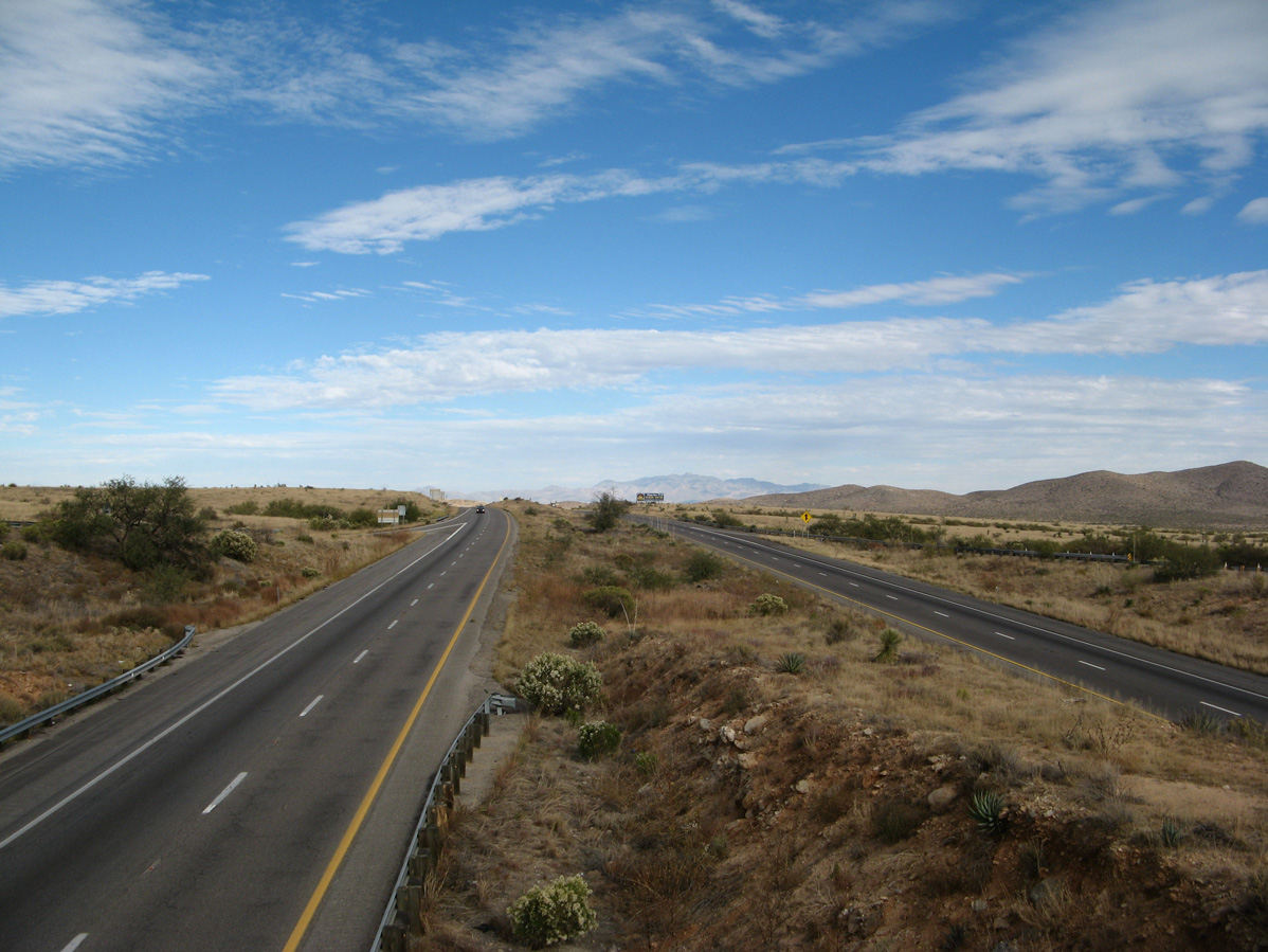
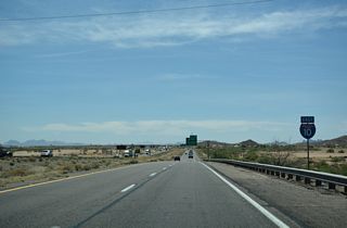
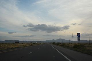
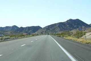
Turning southwest from Johnson Road, Interstate 10 ascends to Texas Summit (el. 4,974 feet) south of the Little Dragoon Mountains in Cochise County, Arizona. - 11/10/2007
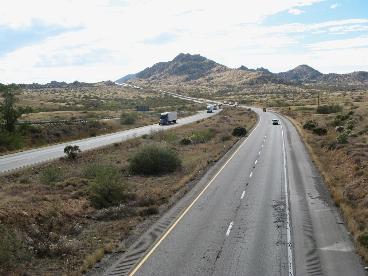
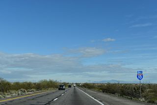
Looking east at Interstate 10 from the Johnson Road overpass at Exit 322 in Cochise County, Arizona. - 11/10/2007
The history of Interstate 10 through Arizona is a long one, one marked by tensions, realignments, and delays. While portions of the freeway were completed fairly early, the final section was not completed until 1990 - the last section of Interstate 10 completed in the United States.
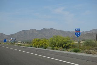
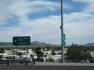
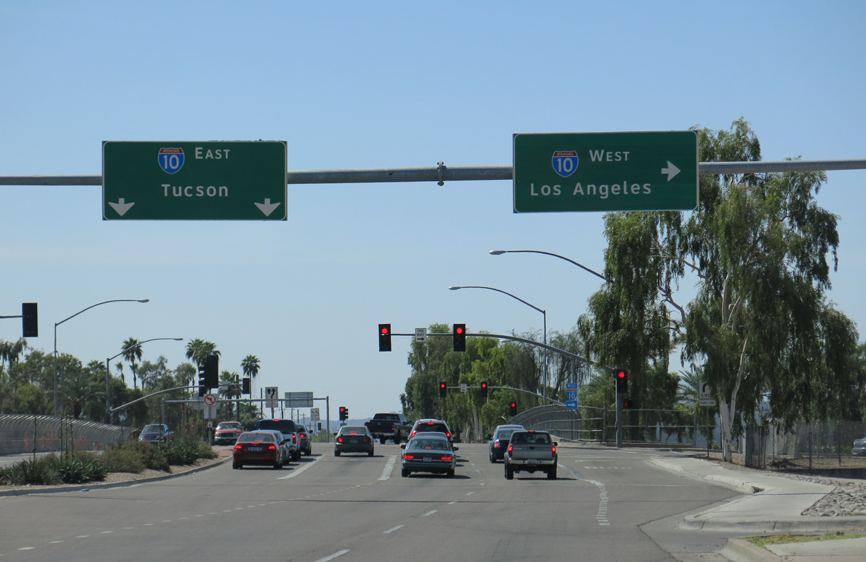
I-10 is the primary Interstate from west to east in Arizona. Crossing the Colorado River in Ehrenberg, the freeway meets SR 95 and U.S. 95 in Quartzsite. U.S. 60 branches east from I-10 beyond the Plomosa Mountains near Brenda. Bee lining across Ranegras Plain and Harquahala Plain to Tonopah, I-10 converges with te north end of SR 85 at the city of Buckeye.
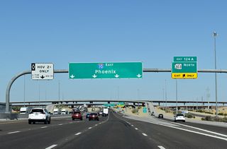
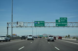
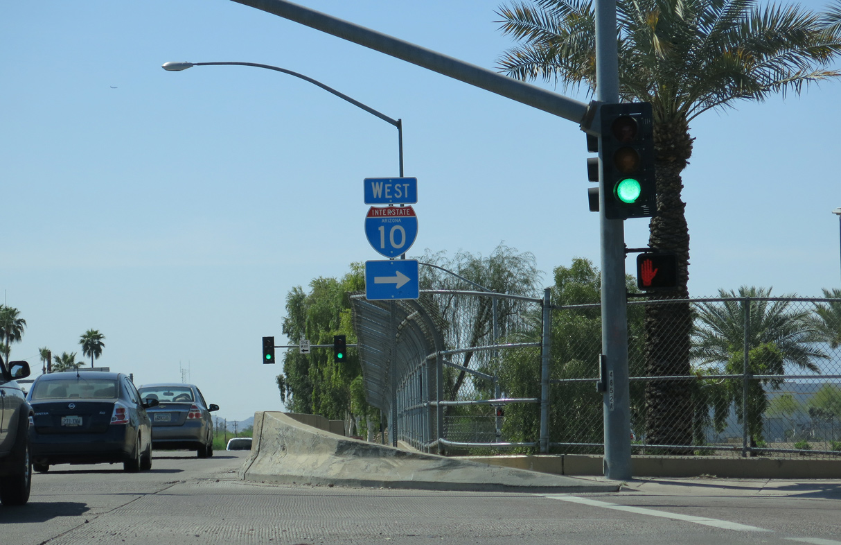
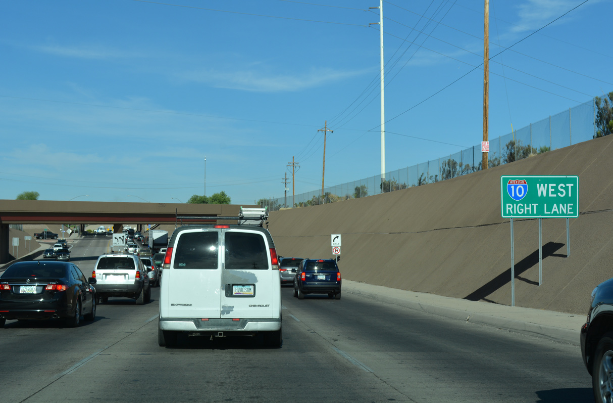
Passing just south of the White Tank Mountains through Buckeye Valley, Interstate 10 heads east through Goodyear into Phoenix, meeting I-17 at the Stack interchange. I-10 continues through Downtown Phoenix under Margaret T. Hance Park, which was constructed over the freeway. Forming a loop encircling the Phoenix central business district with I-17/U.S. 60, I-10 turns south at the Mini-stack interchange with SR 51 and Loop 202, then east from the end I-17. Shifting south through Broadway curve, I-10 continues alongside U.S. 60 to Tempe. South through Guadalupe and Chandler, I-10 leaves the Phoenix area beyond Loop 202.
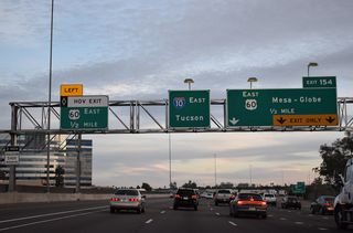
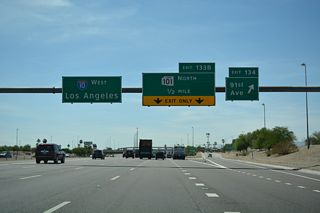
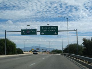
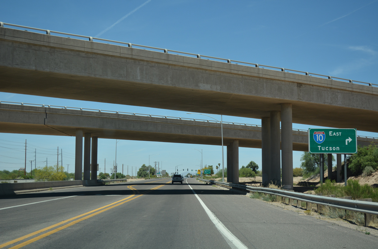
Traveling southeast across the Sacaton Mountains and through Gila River Indian Reservation, Interstate 10 continues to Casa Grande, the east end of I-8 and Eloy. South of Eloy, I-10 passes Picacho Peak and the small town of Picacho, advancing through Marana before entering Tucson. I-10 passes to the west of Downtown Tucson to Interstate 19, where it angles across the south side of the city adjacent to Benson Highway (old U.S. 80).
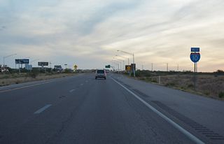
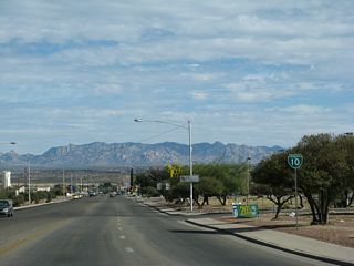
East of Tucson, traffic decreases as Interstate 10 passes between the Rincon and Whetstone Mountains to Benson. Curving northeast, I-10 climbs Texas Canyon, passing Dragoon and The THING?, a noted roadside stop. U.S. 191 accompanies I-10 north of Willcox Playa into Willcox and the Sulphur Springs Valley. The two part ways north of the Dos Cabezas Mountains, with I-10 proceeding east into the San Simon Valley to Bowie, San Simon and the New Mexico state line.
Interstate 10 Arizona Guides
East
California to Maricopa County - 68 photos
La Paz County to Buckeye - 58 photos
Goodyear to Phoenix - 56 photos
Phoenix - 58 photos
Tempe to Chandler - 46 photos
Casa Grande to Marana - 65 photos
Tucson - 65 photos
Tucson to Benson - 71 photos
Willcox to New Mexico - 71 photos
West
New Mexico to Willcox - 69 photos
Benson to Tucson - 67 photos

Tucson - 68 photos
Marana to Eloy - 69 photos
Casa Grande to Chandler - 53 photos
Chandler to Phoenix - 45 photos
Phoenix - 71 photos
Phoenix to Goodyear - 43 photos
Buckeye to La Paz County - 43 photos
Maricopa County to California - 52 photos
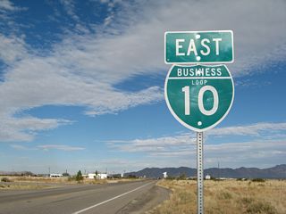
Business Routes
Business Loop I-10 - Quartzsite - 19 photos
Former Business Loop I-10 - Benson Highway - 21 photos
Business Loop I-10 - Benson - 30 photos
Business Loop I-10 - Willcox - 21 photos
Interstate 10 replaced U.S. 60 from Ehrenberg to Brenda, SR 93 from I-17 to Casa Grande, SR 84 from Picacho to Tucson, SR 84A in Tucson, U.S. 80 from Tucson to Benson and SR 86 from Benson to the New Mexico state line. Indirectly replacing U.S. 60, the route from Brenda to I-17 was a new alignment. The alignment for I-10 from Casa Grande to Picacho parallels SR 84.
East of Tucson, the route for I-10 was finalized in 1956. There were some debates on the alignment between Phoenix and Tucson, but these were cleared up by 1961. Between Quartzsite and Phoenix, the alignment was under debate until 1962, with Wickenburg pressing for a more northerly course along U.S. 60. There was talk about building the "Brenda cutoff" (present alignment) as a toll road to accelerate construction (estimated completion was 1975), but that idea was ended by the Arizona Legislature in 1961.
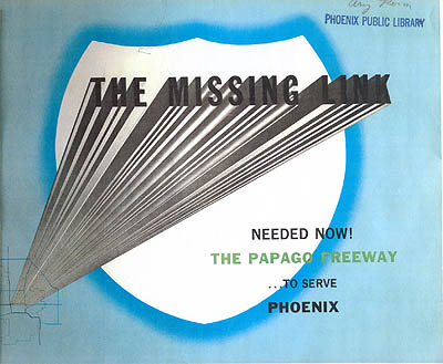
Cover of 1957 Papago Freeway study. (Phoenix Public Library)
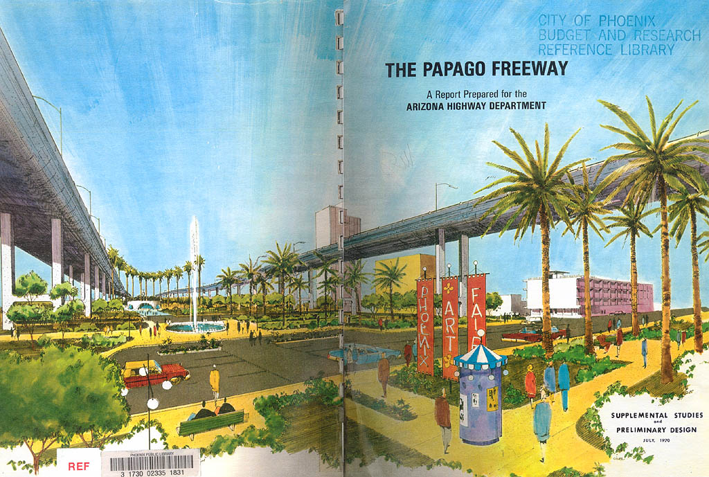
Cover of 1970 Papago Freeway study. (Phoenix Public Library)
Original plans in Phoenix showed an alignment along Buckeye Road into Phoenix, however this was realigned to the present-day route in 1964 to serve local traffic better. Ironically, with the growth in the West Valley, later plans developed for a reliever to this freeway - on an approximate alignment following Buckeye Road.
Interstate 10 along the Papago Freeway was extremely controversial through Phoenix. The freeway was first planned through the city in 1957, then revised in the 1960 freeway plan. A 1970 freeway plan showed Interstate 10 arching up to 100 feet above Central Avenue, with spiraling "Helicoil" ramps to connect the freeway to 5th-7th Avenues, and 5th-7th Streets.
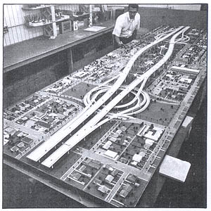
Model of the freeway over Central Avenue
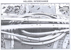
Model of the Helicoil Interchange
Nina Pulliam, wife of Eugene Pulliam (publisher of the Arizona Republic) saw these plans one night and remarked how she didn't like them. This was enough to change the editorial position of the influential paper. Combined with anti-freeway sentiments in the early 1970s, this led to the Papago Freeway's design rejection in a public vote. A revised design would not be created until 1983, which had the freeway traveling below grade and a ten block park, the Margaret T. Hance Deck Park, preserving continuity between 3rd Street and 3rd Avenue.
Construction History
- 1964: Miles 0-10 (I-10 bridge over the Colorado River to west of Quartzsite)
- 1962: Miles 10-17 (west of Quartzsite)
- 1966: Miles 17-19 (Quartzsite bypass)
- 1964: Miles 19-31 (Quartzsite to Brenda)
- 1972: Miles 31-94 (Brenda to Tonopah)
- 1978: Miles 94-128 (Tonopah to Litchfield Road)
- 1984: Miles 128-140 (Litchfield Road to 51st Ave)
- 1985: Miles 140-142 (51st Ave to 31st Ave)
- 1989: Miles 142-143 (31st Ave to I-17 and portions of the Stack interchange)
- 1990: Miles 143-146 (I-17 and the Stack interchange to 3rd Street)
- 1988: Miles 146-150 (3rd Street to I-17)
- 1965: Miles 150-153 (I-17 to 40th Street), reconstructed 1988
- 1968: Miles 153-156 (40th Street to Baseline Street), reconstructed 1988, 1997, 2000
- 1967: Miles 156-161 (Baseline Street to Chandler Blvd), reconstructed 1988, 1997, 2000
- 1968: Miles 161-198 (Chandler Blvd to Highway 84)
- 1967: Miles 199-212 (Highway 84 to Picacho)
- 1962: Miles 212-232 (Picacho to Marana Air Park exit)
- 1964: Miles 232-240 (Marana Air Park to Tangerine Road)
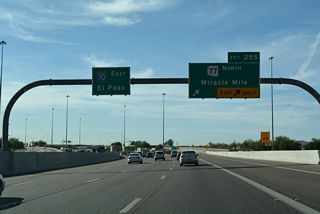
- 1966: Miles 240-255 (Tangerine Road to Miracle Mile)
- 1962: Miles 255-260 (Miracle Mile to 29th Street), reconstructed 1996
- 1964: Miles 260-261 (29th Street to 6th Ave), reconstructed 1996, 2004
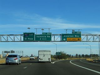
- 1967: Miles 261-267 (6th Ave to Valencia Road), partial reconstruction 1991
- 1964: Miles 267-275 (Valencia Road to Houghton Road)
- 1959: Miles 275-279 (Houghton Road to Vail Road, bypass of original highway)
- 1962: Miles 279-289 (Vail Road to west of Marsh Station Road)
- 1955: Miles 289-290 (Original U.S. 80 expressway, unmodified)
- 1959: Miles 290-299 (Marsh Station Road to Skyline Road)
- 1962: Miles 299-303 (Skyline Road to SR 90)
- 1974: Miles 303-311 (Benson Bypass)
- 1964: Miles 311-322 (Benson to Texas Canyon Rest Area)
- 1959: Miles 322-336 (Texas Canyon to Willcox West)
- 1969: Miles 336-343 (Willcox)
- 1962: Miles 343-352 (Willcox to U.S. 191)
- 1959: Miles 352-354 (U.S. 191 to U.S. 191Y)
- 1964: Miles 354-362 (U.S. 191Y to Bowie West)
- 1968: Miles 362-368 (Bowie bypass)
- 1964: Miles 368-378 (Bowie to San Simon)
- 1968: Miles 378-386 (San Simon)
- 1962: Miles 386-393 (San Simon to NM State Line)
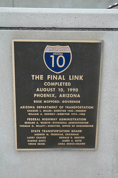
Located atop Hance Park near the Phoenix Public Library, this plaque was unveiled at the completion of I-10 in August 1990. Photo by Terry Nash in September 2005.
The section from Buckeye Road to I-17 was originally constructed in 1965 as Interstate 510 (later I-410) and reconstructed in 1988. Miles 147-150 were signed as SH 51 between 1988 and 1990, until I-10 was completed. Miles 255-262 were originally built in 1953 as SR 84A, an expressway bypass of Tucson. These were upgraded to I-10 between 1959 and 1962.
There is a construction project in Tucson to widen Interstate 10 through downtown. This section of Interstate 10 by Downtown Tucson, one of the oldest freeways in Arizona, was reconstructed in 1996 but not significantly widened at the time. A subsequent construction project by 2010 widened Interstate 10 to eight lanes through Downtown Tucson.
Other expansion plans called for reconstructing Interstate 10 from the Mini-Stack with Loop 202/SR 51 to Ray Road through Phoenix into a dual freeway configuration with up to 20 overall lanes.
Business Loops
Interstate 10 has five active business loops:
- Quartzsite - 2.4 miles, along old US 60.
- Benson - 3.2 miles. Old SR 86.
- Willcox - 8.0 miles. Old SR 86.
- Bowie - 4.0 miles. Old SR 86.
- San Simon - 3.5 miles. Old SR 86.
Former Business Loops
- Phoenix - Grand Avenue from I-17 to Van Buren Street, Van Buren Street from Grand Ave to 44th Street, and 44th Street (Hohokam Expressway) from Van Buren to I-10. Former U.S. 60 to 44th Street.
- Casa Grande - overlapped with SR 387 south and SR 287 (Florence Boulevard) east.
- Tucson (1) - SR 77 from Miracle Mile interchange to Oracle Road, then south on Oracle Road to Drachman Rd, then south on 6th Avenue to I-10. Also former U.S. 80/89 from Oracle Road to I-10. This was decommissioned in 1991
- Tucson (2) - Tucson-Benson Highway from Park Ave (Exit 262) to Exit 267 following Old U.S. 80. This was turned over to local maintenance by 2007.
Flying J Road, the south frontage road for I-10, ties into a roundabout at the exchange with Juneau Avenue north in Ehrenberg.
03/02/19
Juneau Avenue stems north from the roundabout at Exit 5 0.4 miles to Ehrenberg Parkway Highway (old U.S. 60/70).
03/02/19
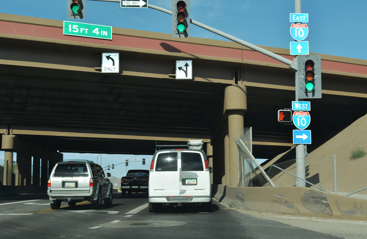
43rd Avenue south at Interstate 10 (Papago Freeway) in Phoenix.
04/07/13
Jimmy Kerr Boulevard (old SR 84) meets Interstate 10 at a folded diamond interchange (Exit 198) adjacent to a Union Pacific Railroad line in south Casa Grande. I-10 was expanded to eight lanes through this exchange in 2019/20.
04/26/17

I-10 heads south from Jimmy Kerr Boulevard to the east end of Interstate 8. Jimmy Kerry Boulevard continues northwest to Arizola.
04/26/17
Orange Grove Road heads west from the community of Casas Adobes into southeastern reaches of the Marana city limits, where it meets Interstate 10.
04/26/17
Passing below a Union Pacific Railroad line, Orange Grove Road enters the diamond interchange with I-10 at Exit 250.
04/26/17
The entrance ramp from Orange Grove Road joins Interstate 10 eastbound from the adjacent Frontage Road.
04/26/17
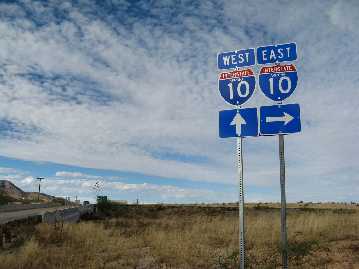
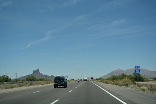
Johnson Road ties into Interstate 10 at a rural diamond interchange (Exit 322) midway between Texas Canyon and the Gunnison Hills.
11/10/07
The Little Dragoon Mountains rise northwest of Interstate 10 at Johnson Road.
11/10/07
The exchange at Johnson Road is known for Bowlin's "The Thing" Travel Center.
11/10/07
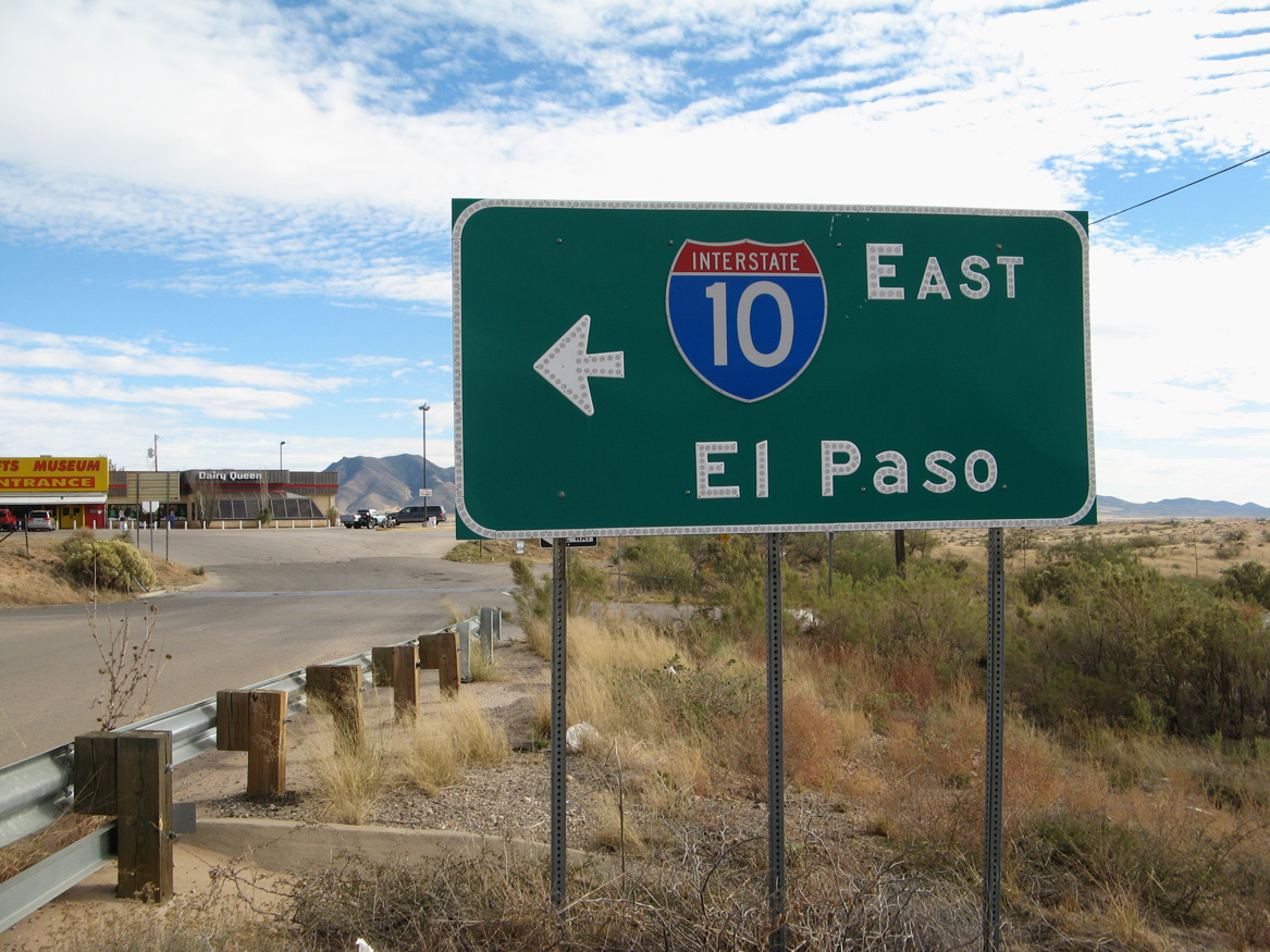
Button copy sign formerly posted at the eastbound entrance ramp for Interstate 10 along Johnson Road southbound.
11/10/07
Photo Credits:
- Brent Ivy: 03/02/19
- Andy Field: 11/10/07, 04/07/13
- ABRoads: 04/26/17
Connect with:
Page Updated Friday April 15, 2022.