
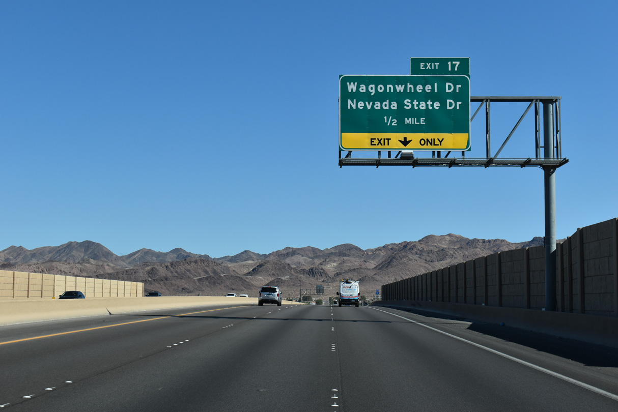
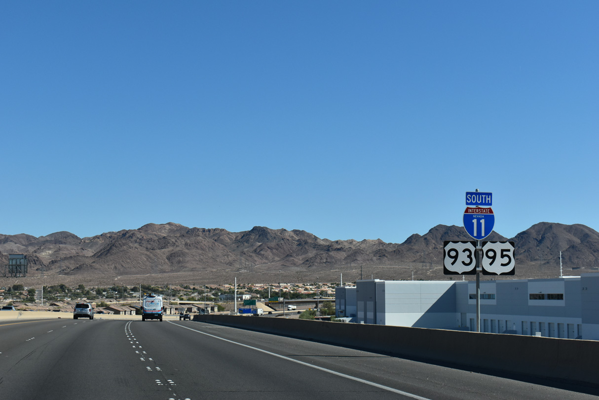
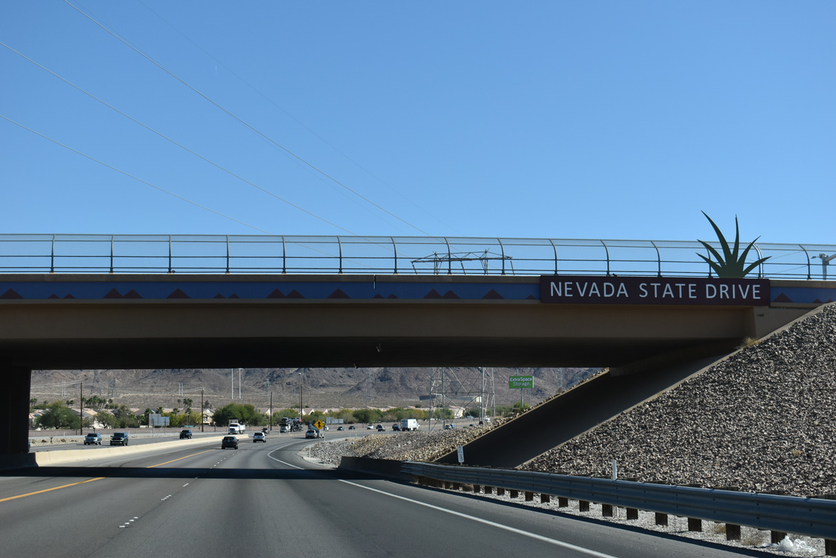
I-11/U.S. 93-95 South - Henderson to Arizona
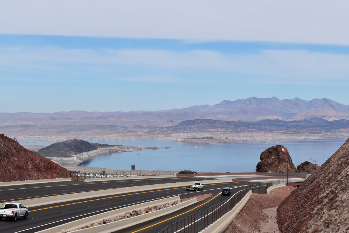
Named after local entrepreneur Robert L. Mendenhall, this scenic overlook offers views of nearby Lake Mead where I-11/U.S. 93 southbound begins the descent to the Colorado River. - 03/01/2019
10/20/25

10/20/25

10/20/25
10/20/25
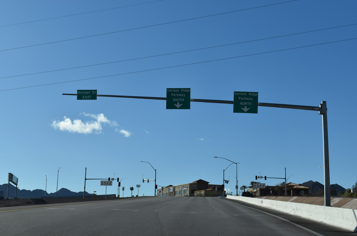
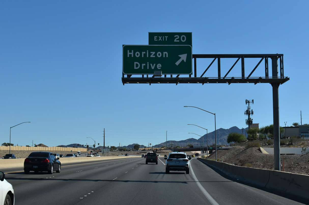
Traffic partitions at the DDI (Exit 20) with Horizon Drive.
03/07/19
03/07/19
10/20/25
10/20/25
10/20/25
10/20/25
10/20/25
10/20/25
10/20/25
10/20/25
10/20/25
10/20/25
Confirming markers for I-11/U.S. 93-95 south precede the Paradise Hills Drive underpass.
10/20/25
10/20/25
The final three exits along Interstate 11 in Clark County, Nevada serve Boulder City.
10/20/25
10/20/25
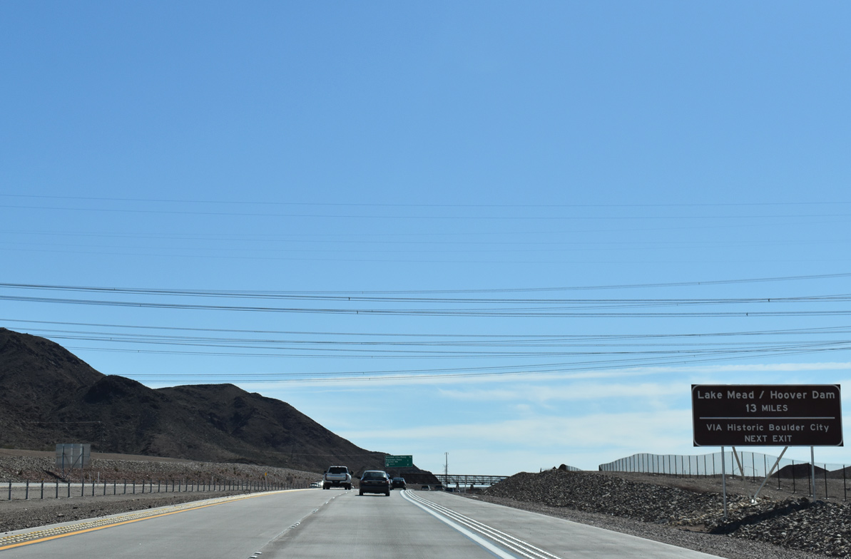
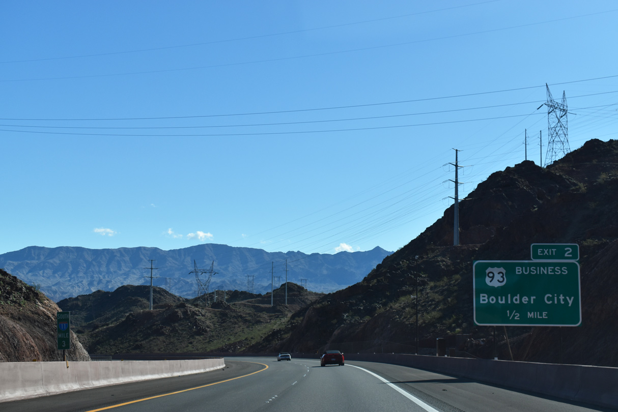
Hoover Dam and Lake Mead National Recreational Area are accessible from both U.S. 93 Business through Historic Boulder City or SR 172 via Exit 2. The dam and lake are situated along the Colorado River at the Arizona-Nevada border.
10/20/25
10/20/25
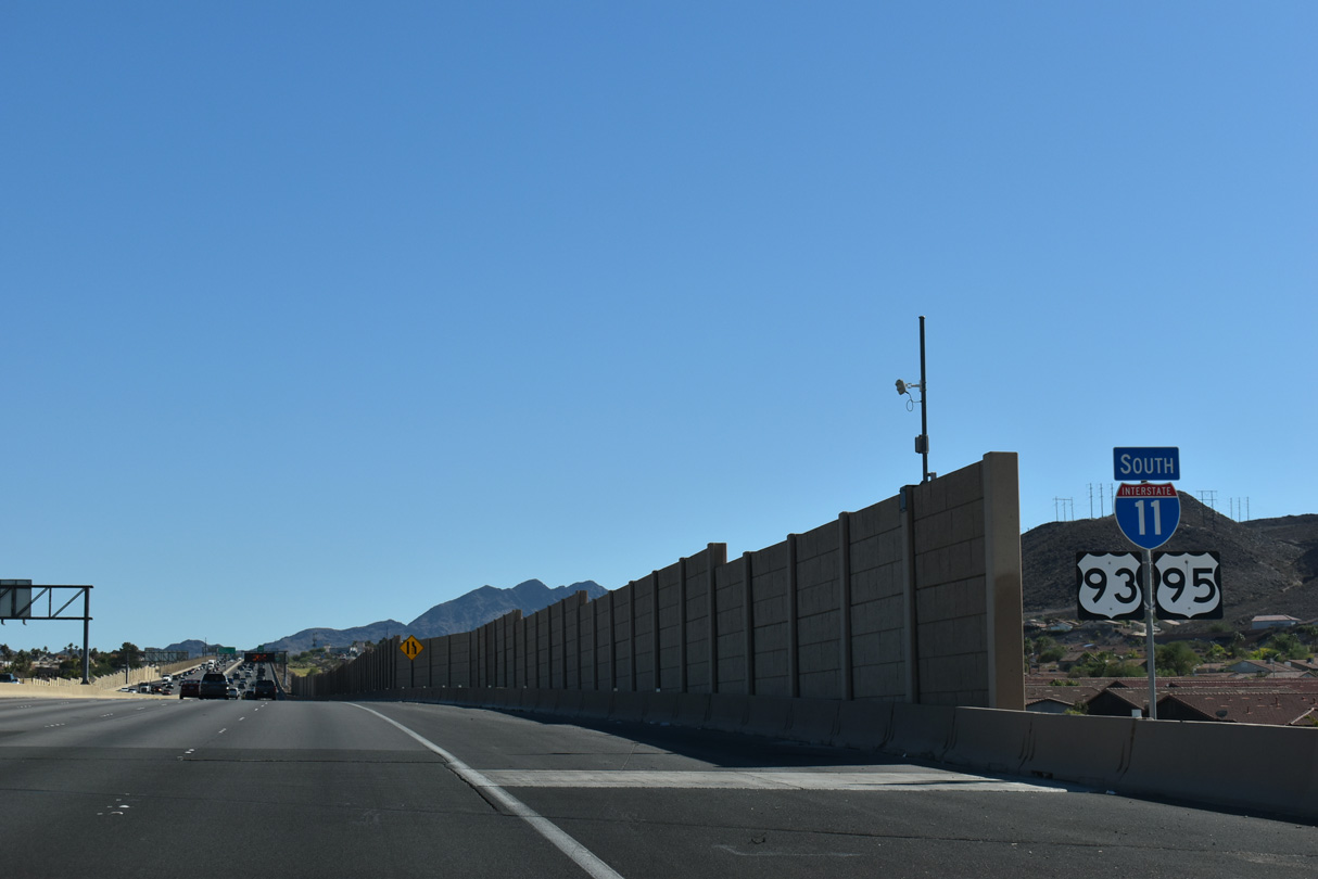
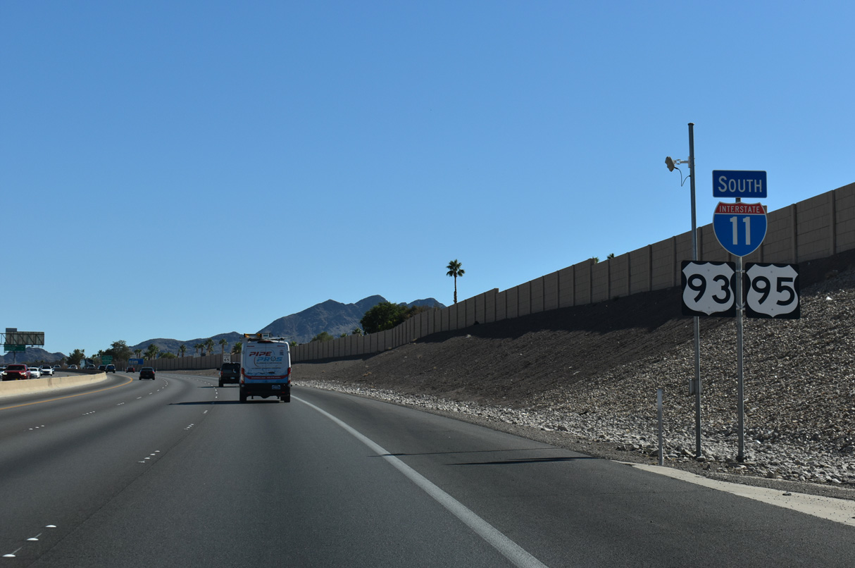
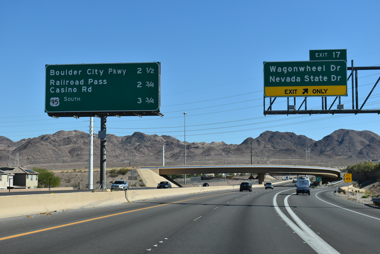
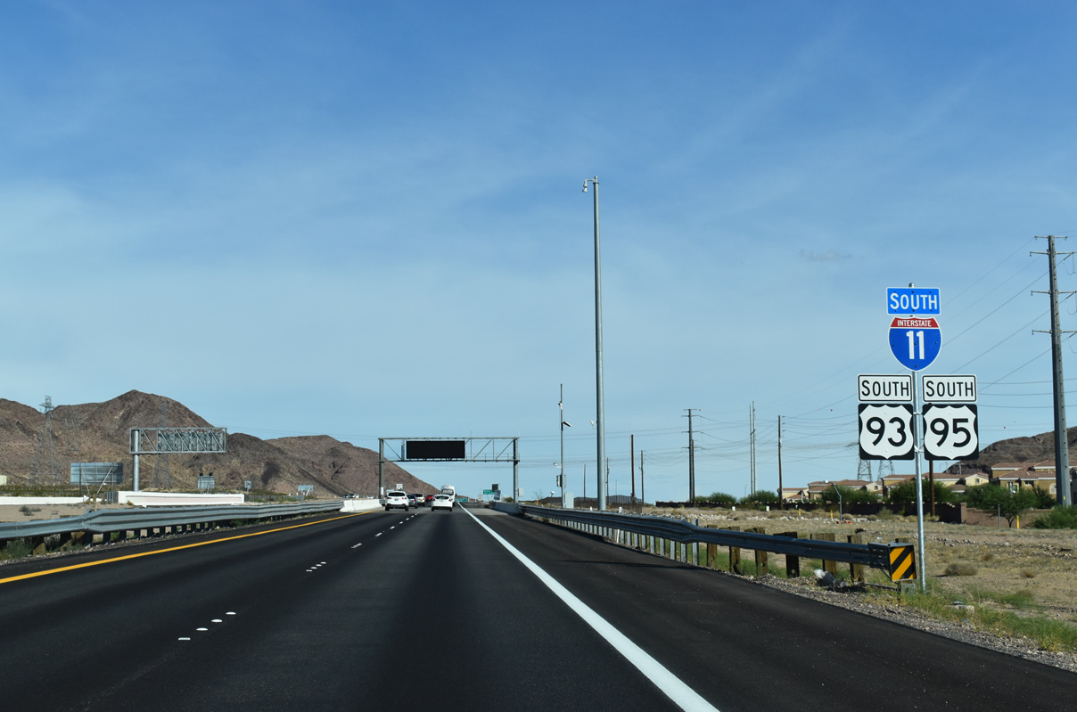
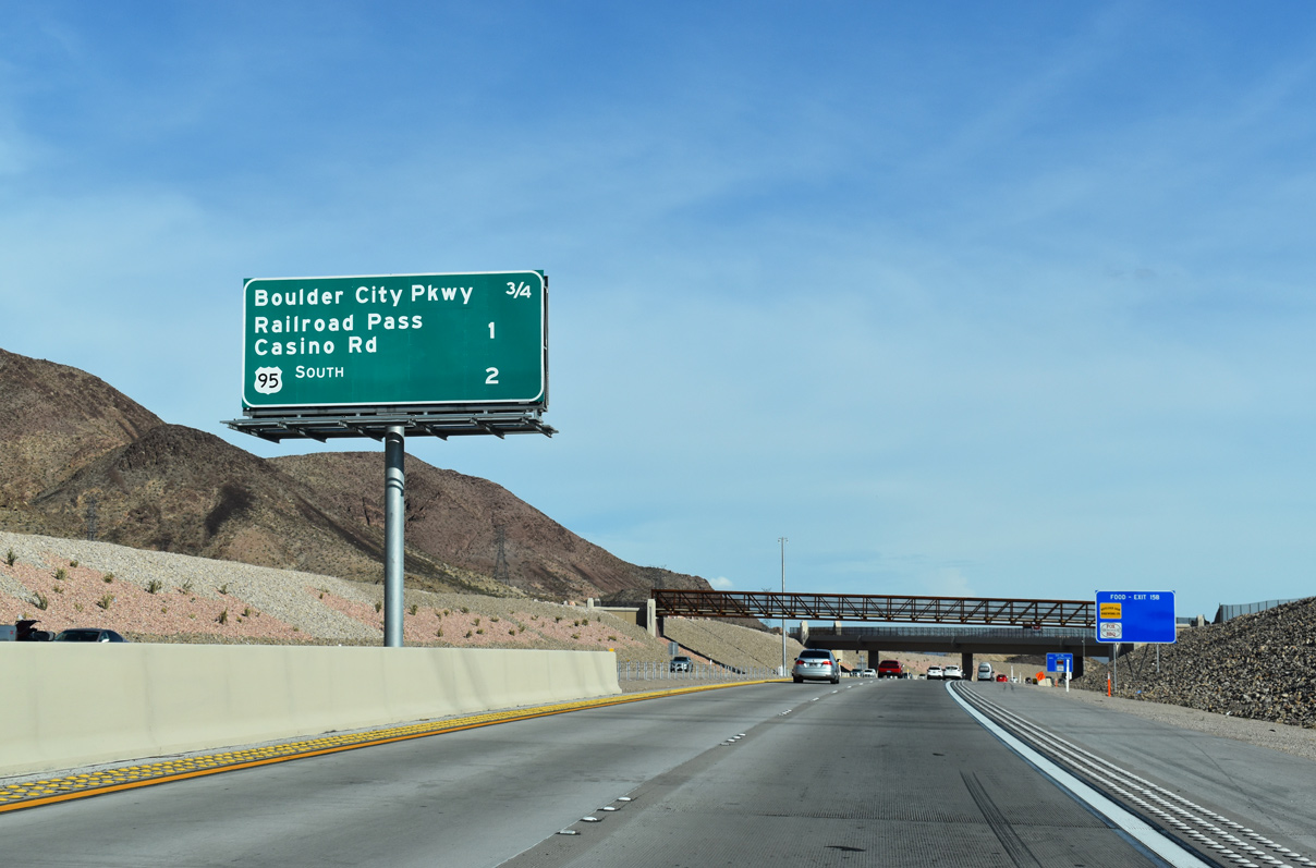
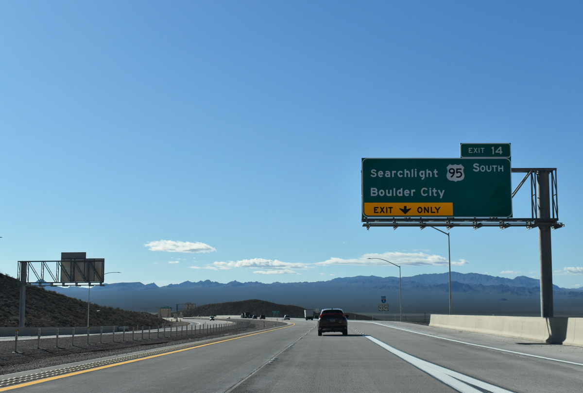
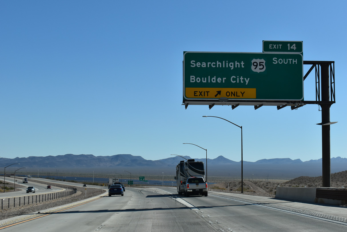
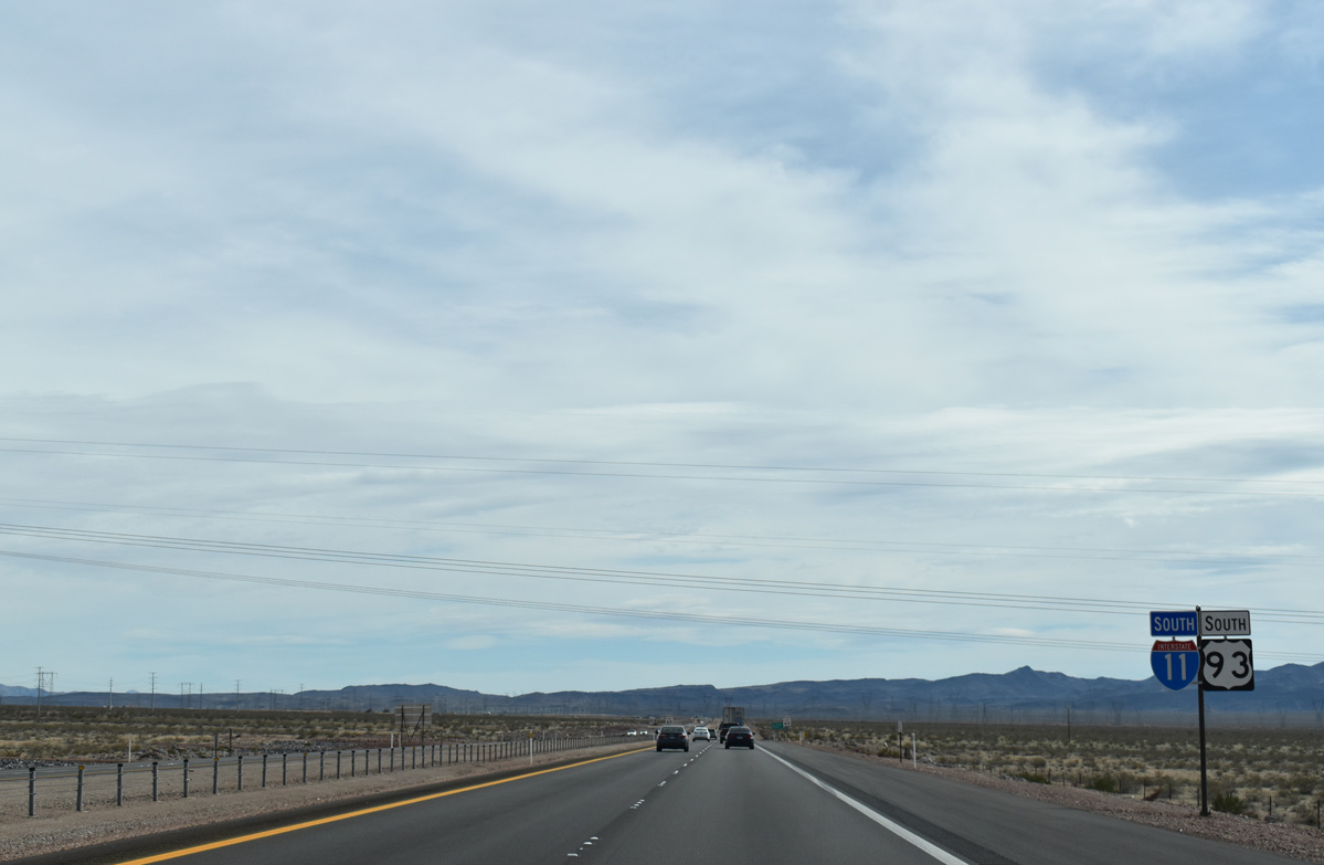
U.S. 93 (Boulder City Parkway) branches east from Interstate 11 in 0.75 miles while U.S. 95 departs for Searchlight in two miles at Exit 14.
10/20/25
10/20/25
The Union Pacific Railroad Trail spans Interstate 11 at Railroad Pass.
10/20/25
10/20/25
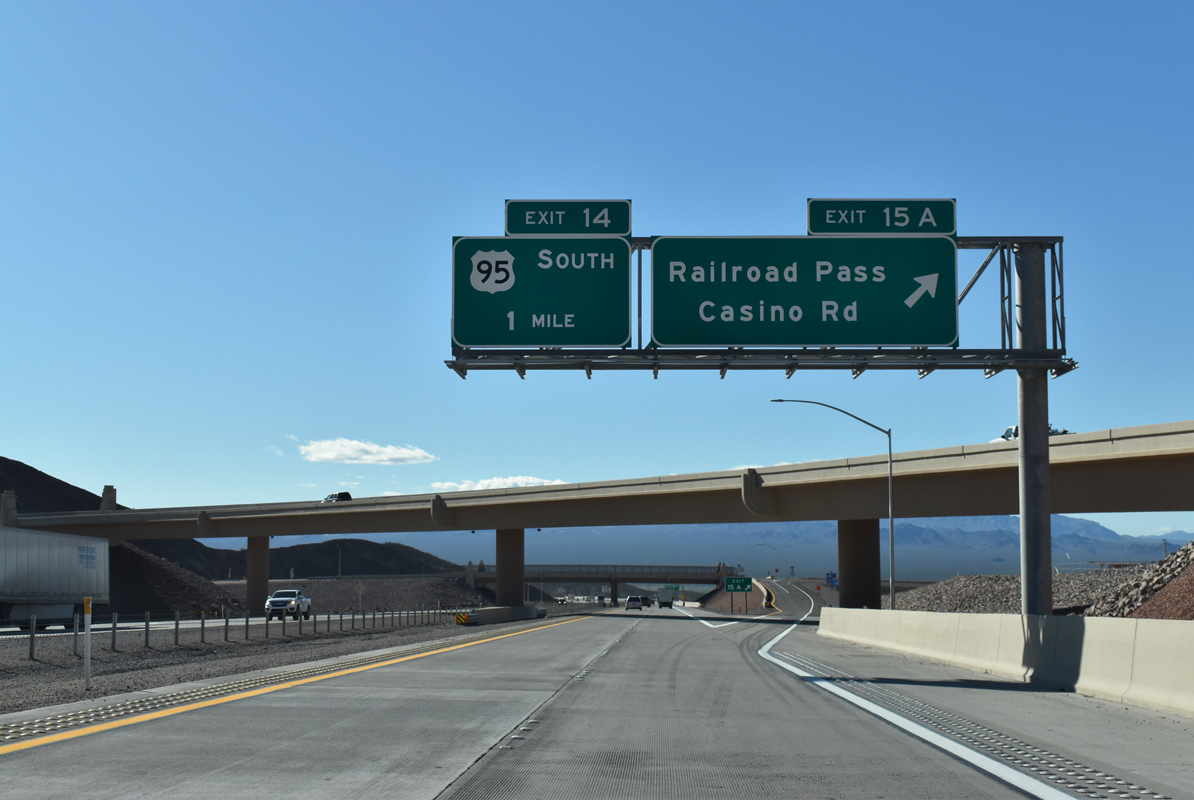
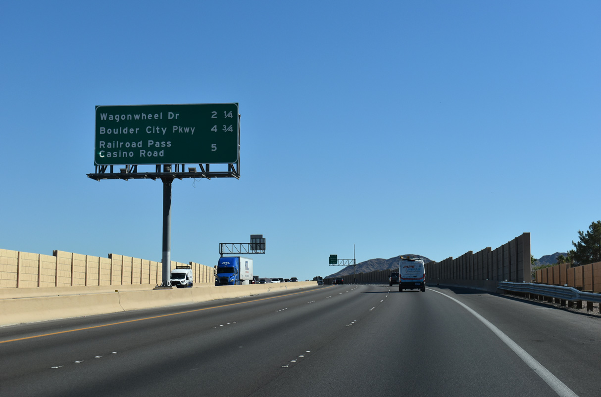
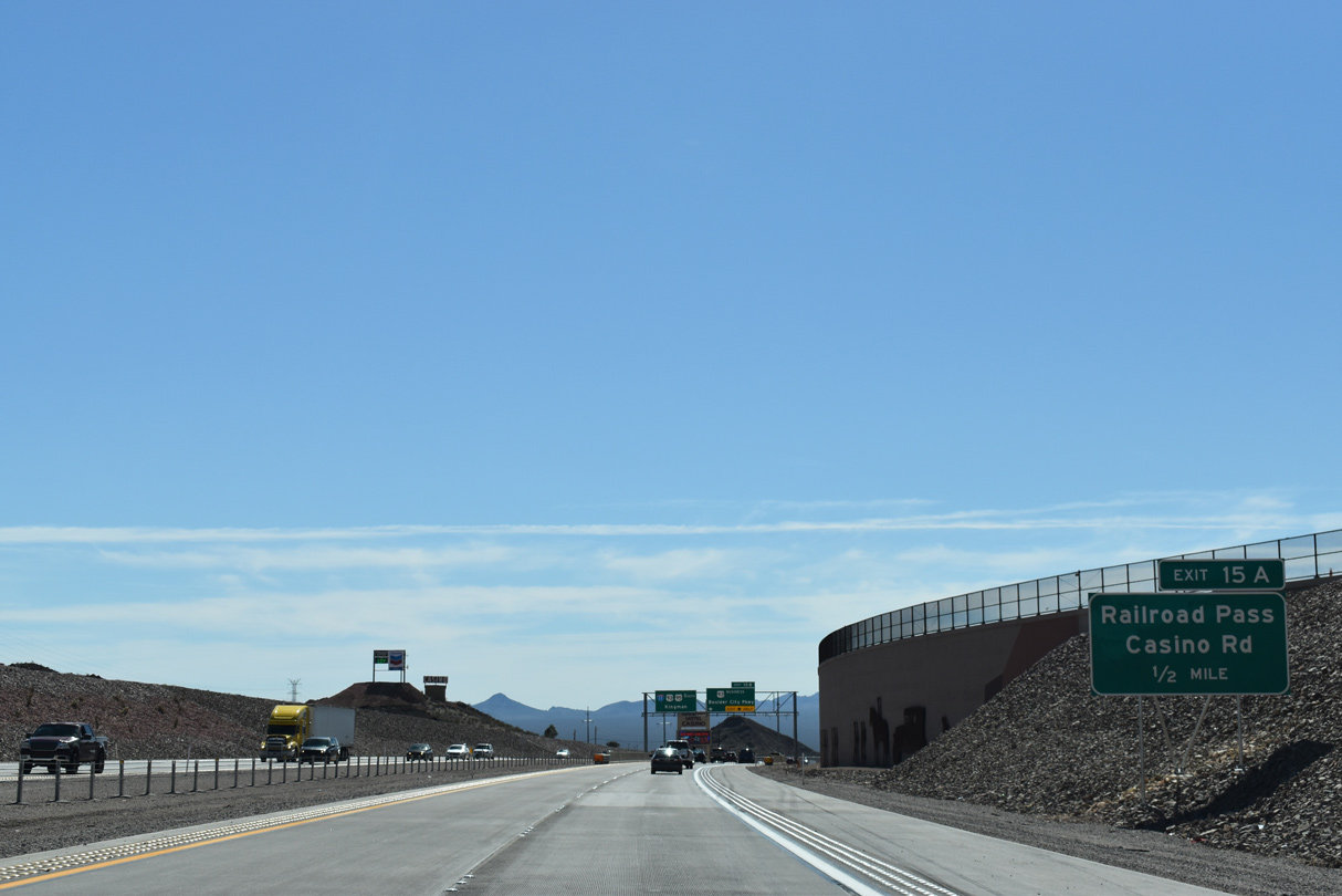
Railroad Pass Casino Road spurs south from Railroad Pass to a parclo interchange with I-11/U.S. 93-95 at Exit 15 A in a half mile.
10/20/25
10/20/25
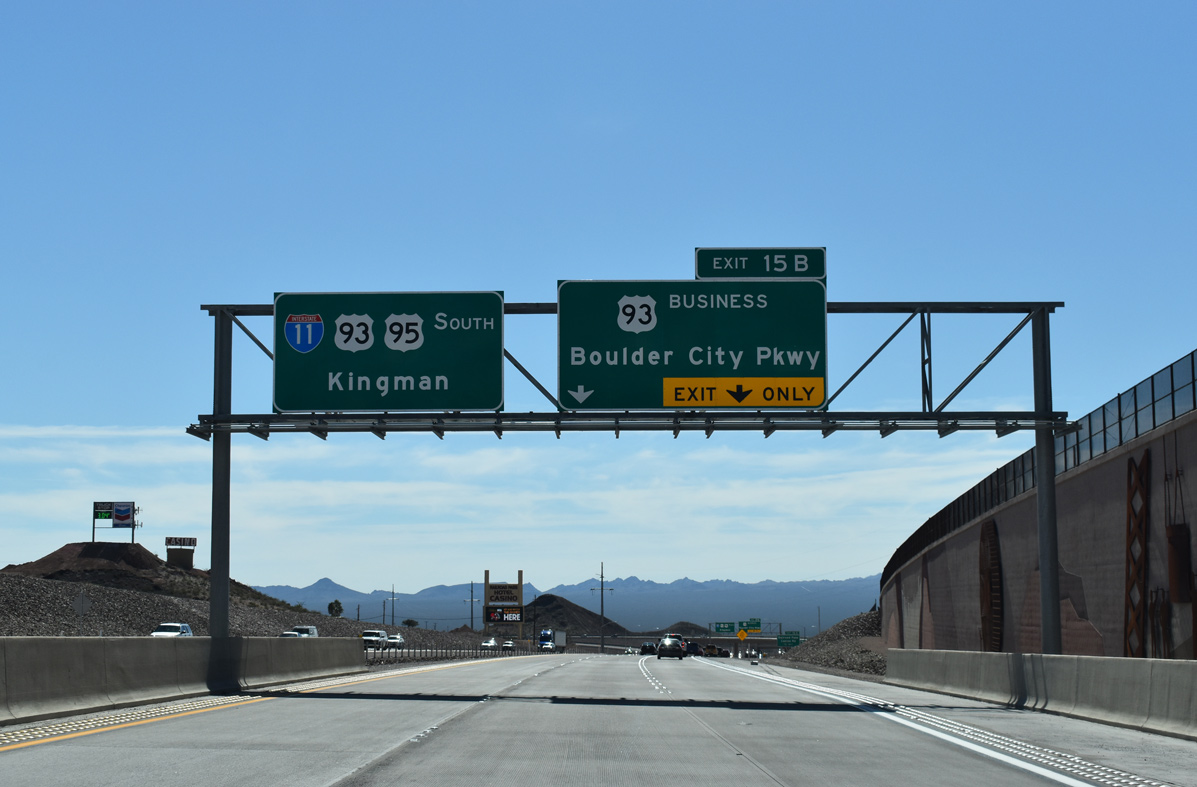
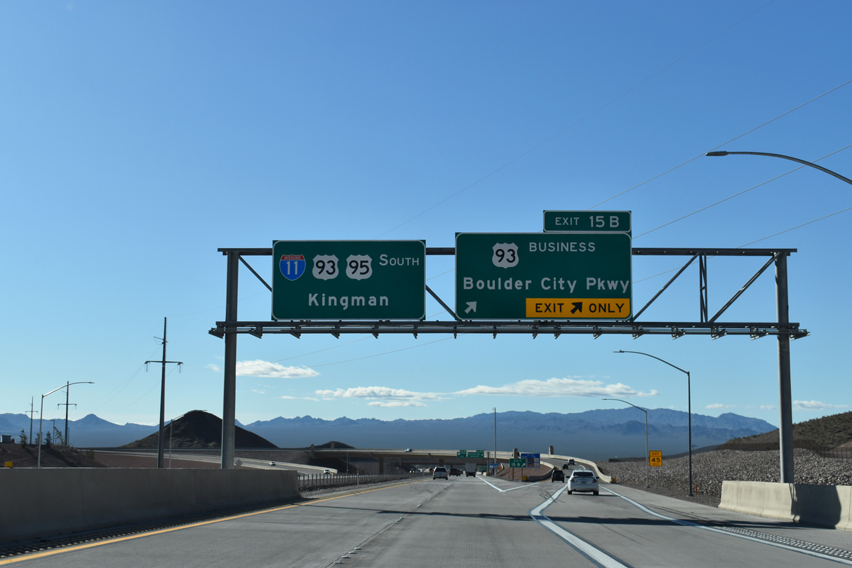
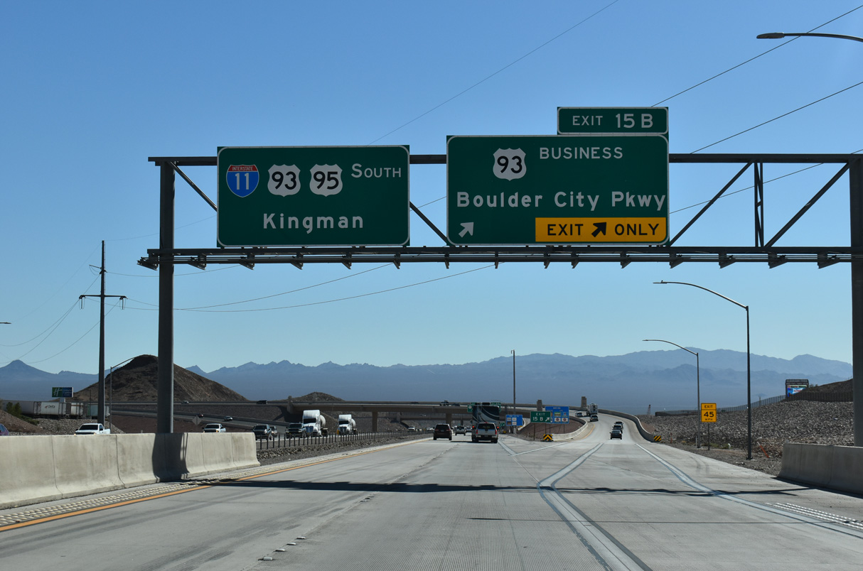
Southbound I-11 widens to three lanes ahead of the separation with U.S. 93 Business at Exit 15 B. U.S. 93 Business follows the pre-freeway alignment of U.S. 93 for 9.52 miles through Boulder City.
10/20/25
10/20/25
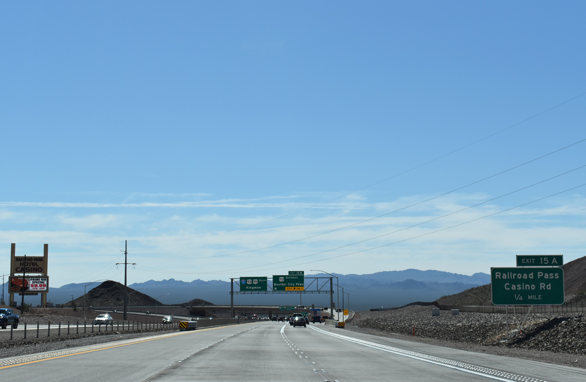
A wye interchange joins I-11/U.S. 93-95 south with U.S. 93 Business (Boulder City Parkway) just ahead of Exit 15 A for Railroad Pass Casino Road.
10/20/25
10/20/25
U.S. 93 along Nevada Highway was rebranded as Boulder City Parkway by September 2017 in an effort to keep traffic flowing into the city from I-11 and the Boulder City Bypass.1
10/20/25
10/20/25
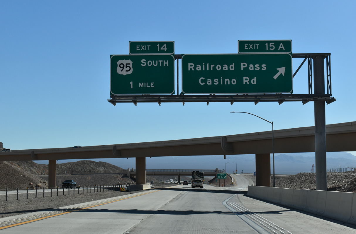
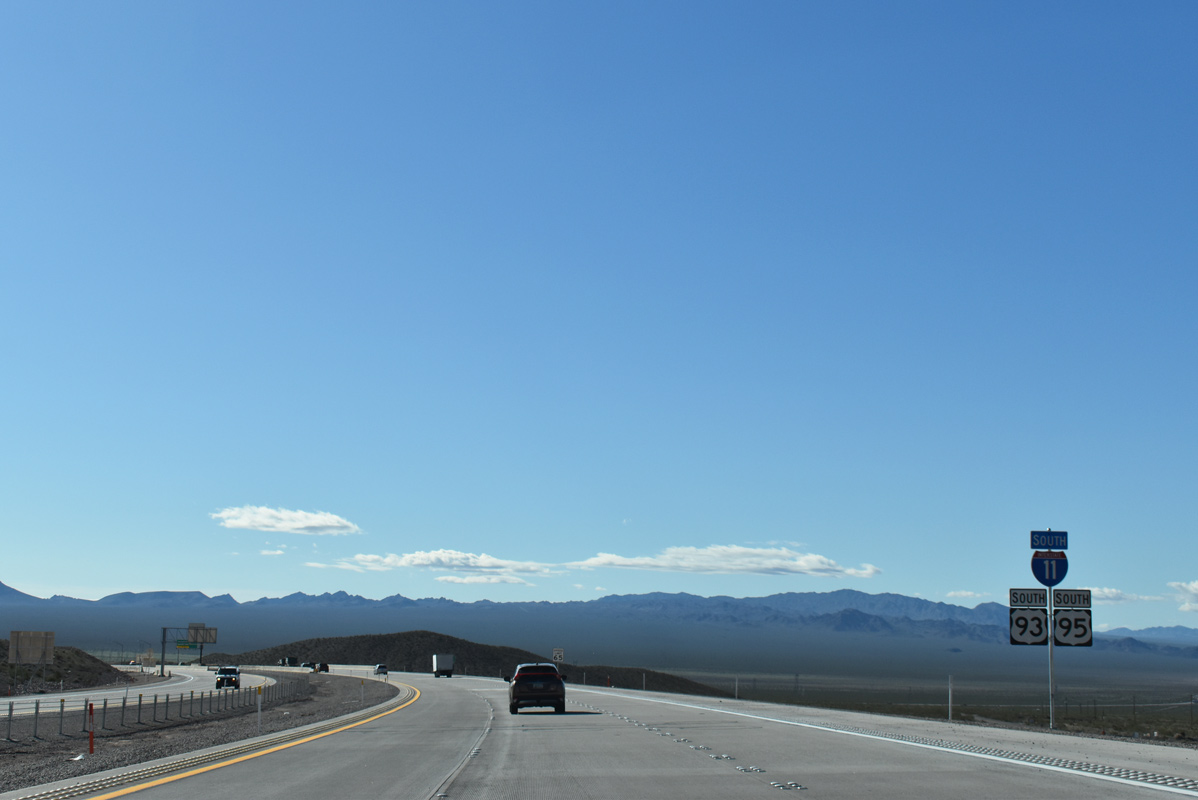
The Railroad Pass Casino Road connector was built to directly serve the Railroad Pass Hotel/Casino from the Boulder City Bypass at Exit 15 A. U.S. 95 south separates with I-11/U.S. 93 for Searchlight and Needles, California next in one mile.
10/20/25
10/20/25
An auxiliary lane opens south from Railroad Pass Casino Road to the parclo interchange (Exit 14) where U.S. 95 turns south from I-11/U.S. 93.
03/07/19
03/07/19
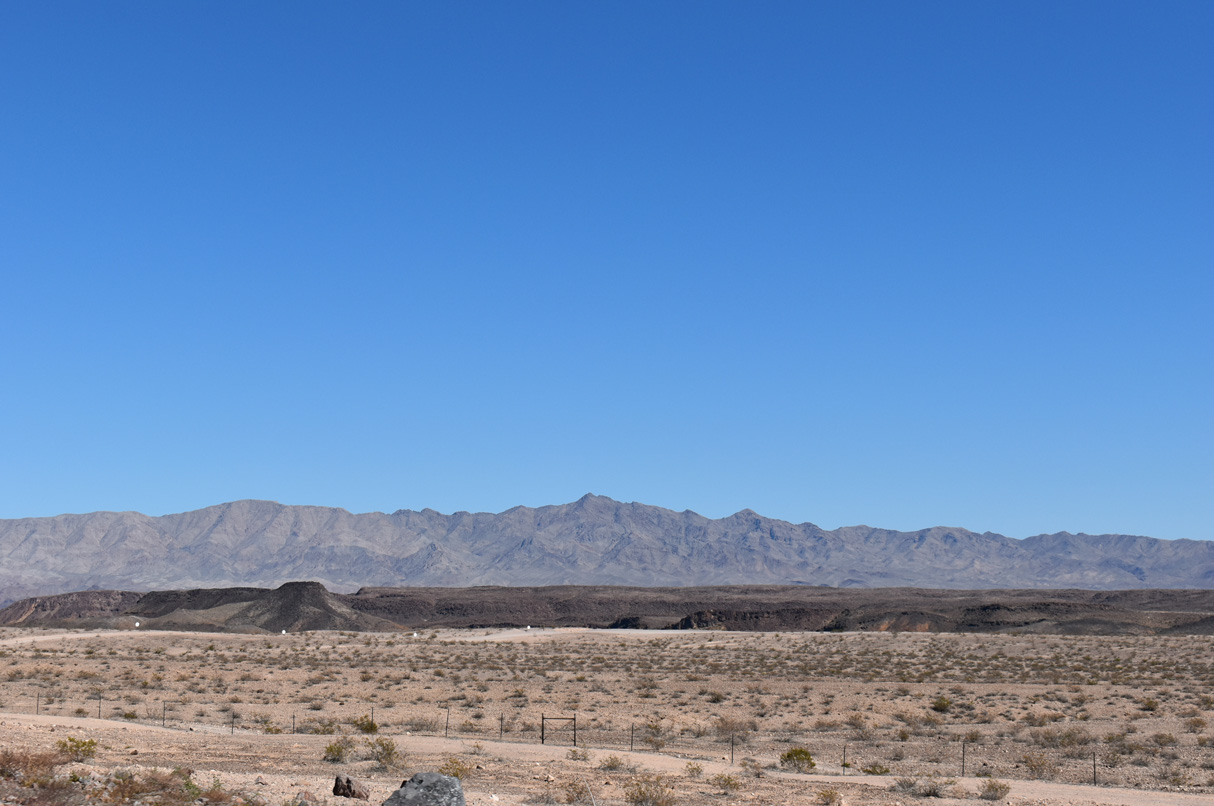
The El Dorado mountain range rises in the distance as I-11 and U.S. 93-95 curve southeast to Exit 14.
10/20/25
10/20/25
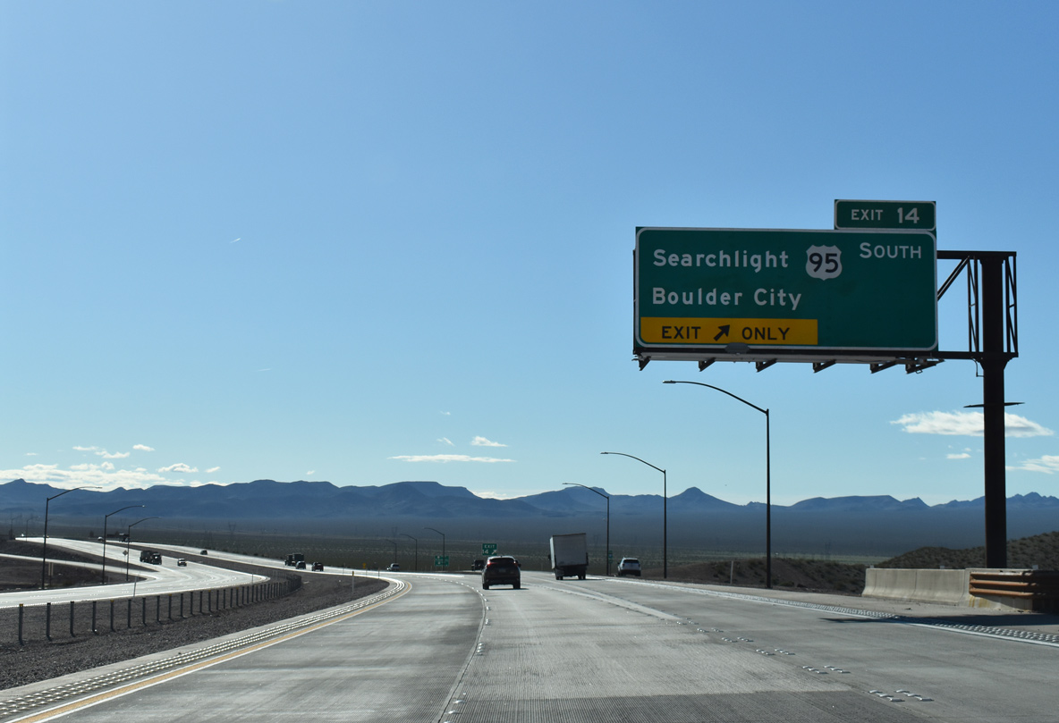
Connecting with SR 163 east to Laughlin in the Piute Valley, U.S. 95 travels 34.6 miles south to Searchlight and 55.15 miles to the California state line.
10/20/25
10/20/25
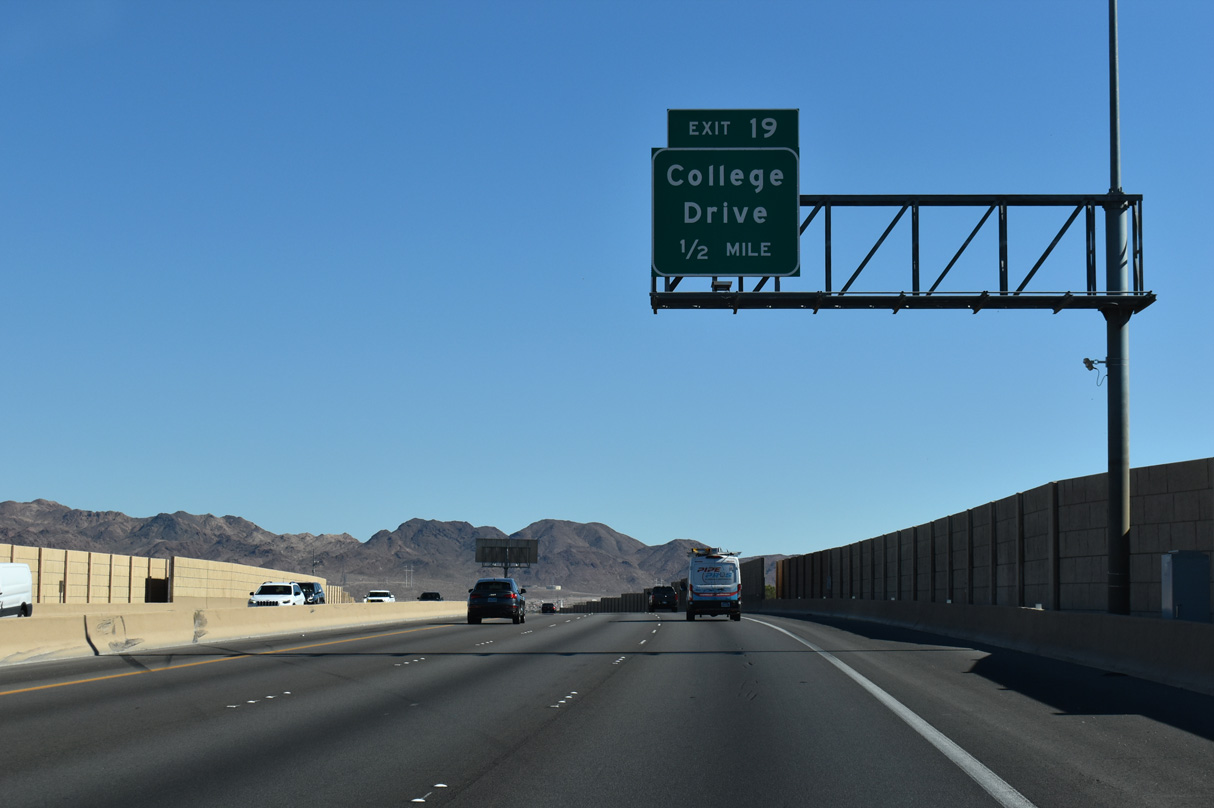
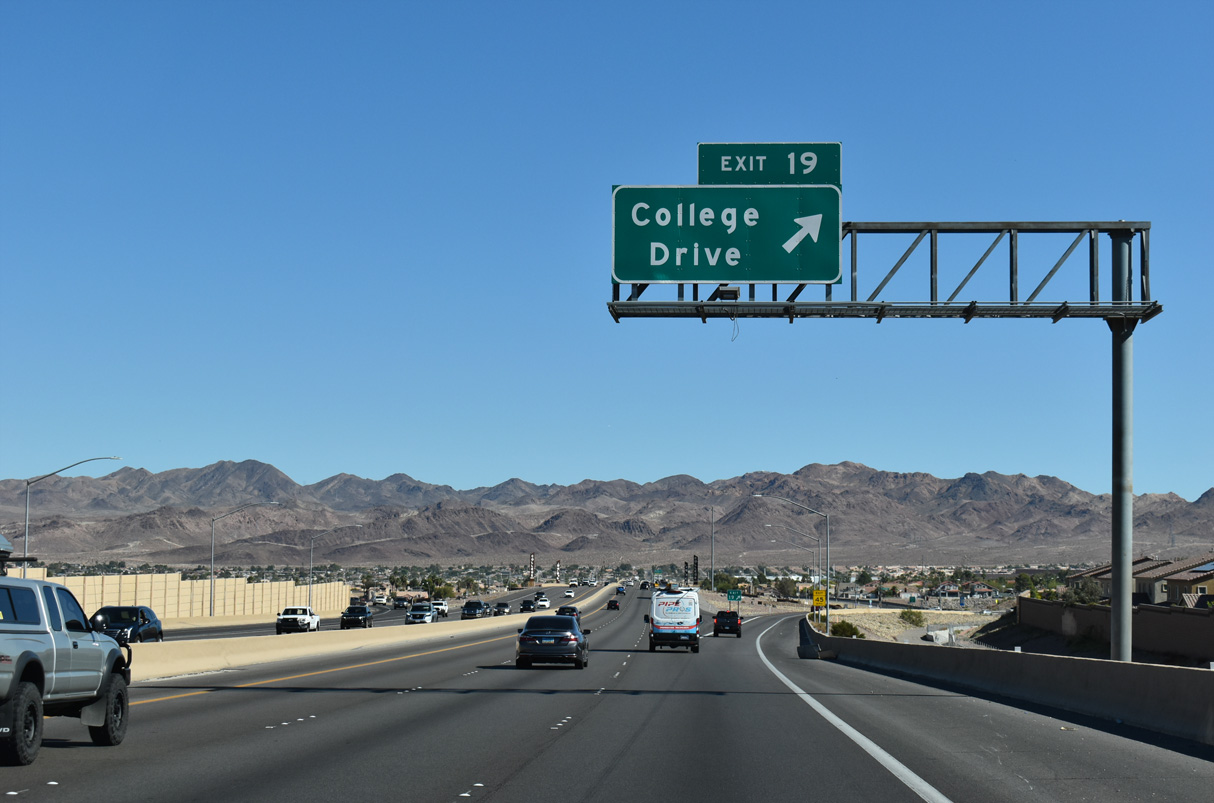
Unmarked from Interstate 11, SR 173 extends north from Exit 14 along the former U.S. 95 alignment 1.075 miles to a diamond interchange with U.S. 93 Business (Boulder City Parkway).
10/20/25
10/20/25
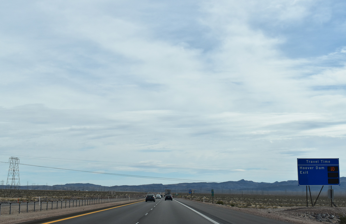
Interstate 11 and U.S. 93 arc southward across northern reaches of Eldorado Valley on the ten minute drive to Exit 2 for SR 172 to Hoover Dam.
10/20/25
10/20/25
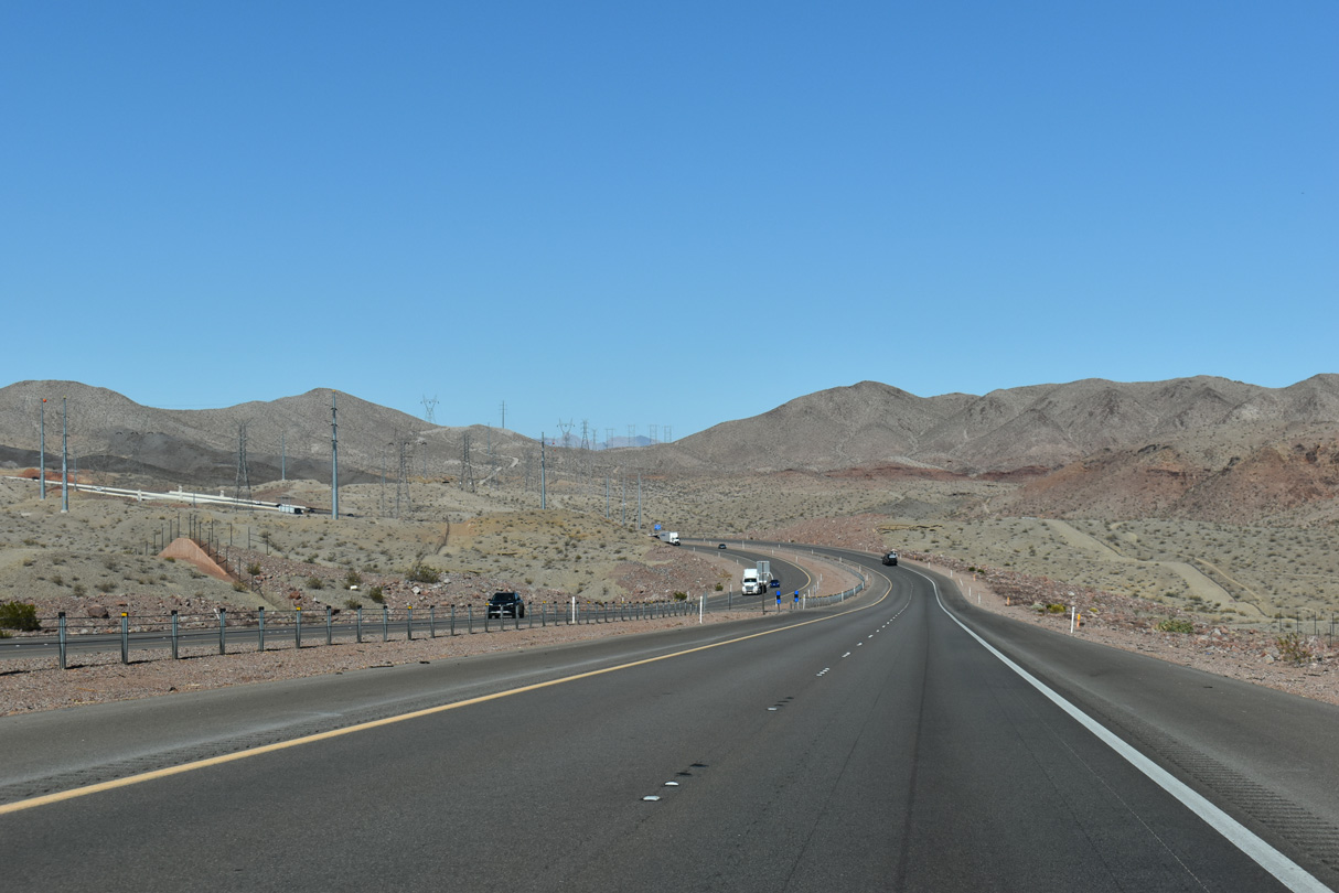
Areas of the Townsite Solar Project line both sides of I-11/U.S. 93 to the southeast of Exit 14.
10/20/25
10/20/25
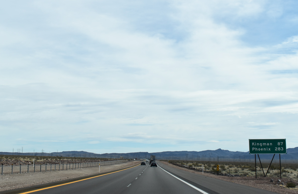
Phoenix is initially listed along I-11 (Boulder City Bypass) south 87 miles out from Kingman, Arizona. U.S. 93 overlaps with I-40 east from Kingman before resuming southeast to Wickenburg and U.S. 60 for Phoenix.
10/20/25
10/20/25
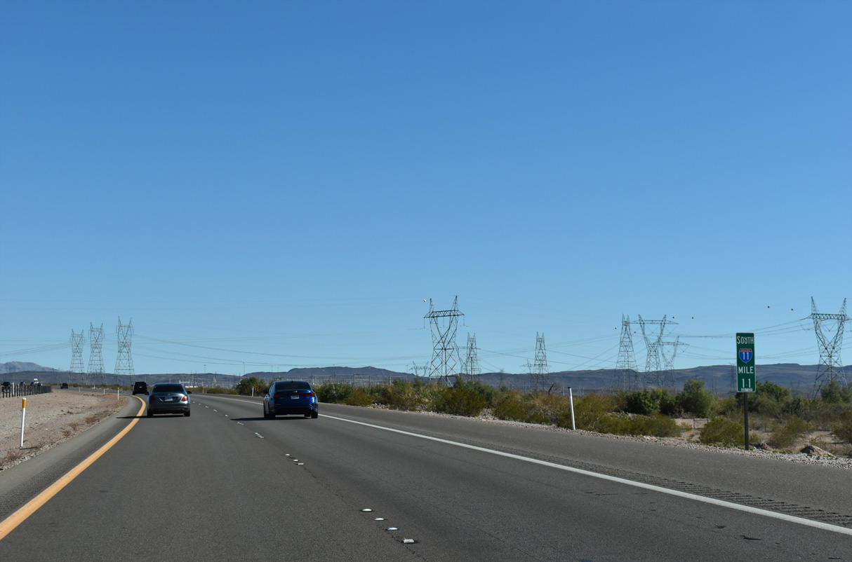
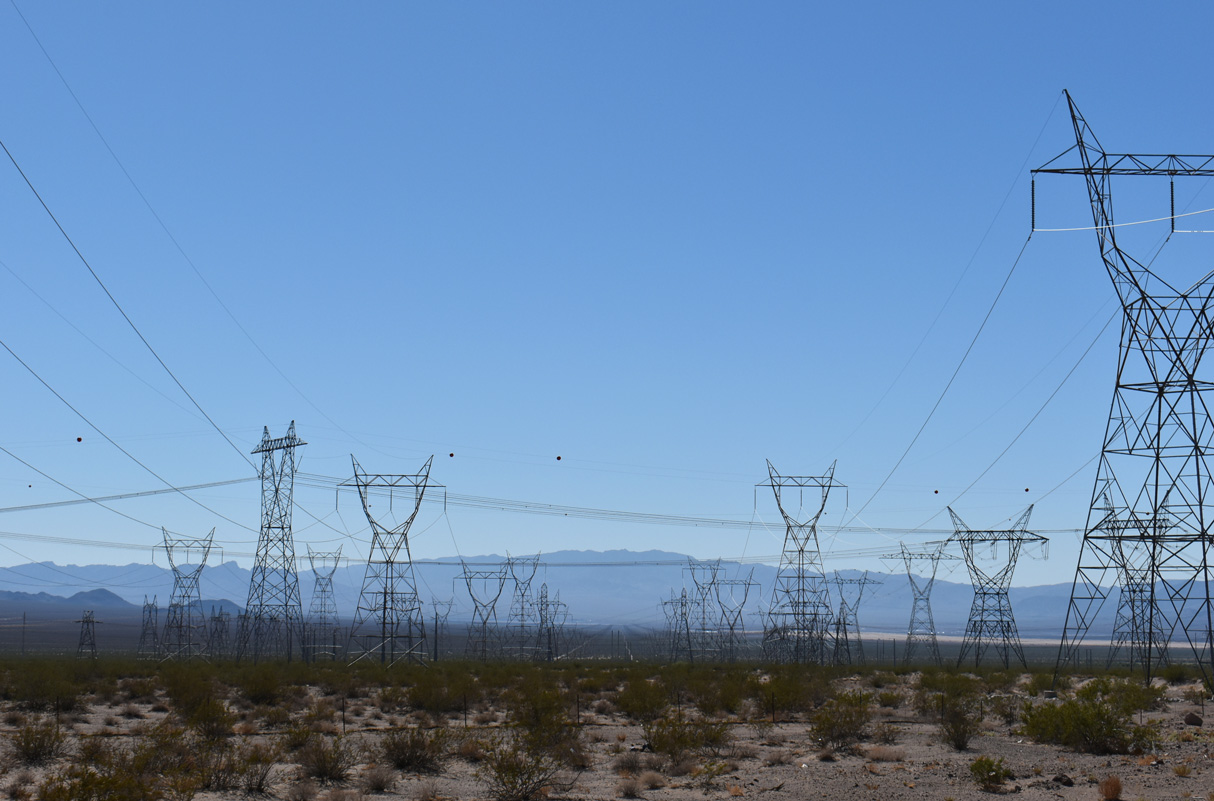
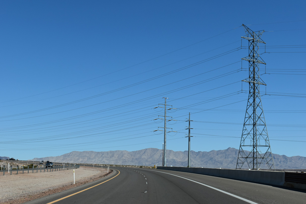
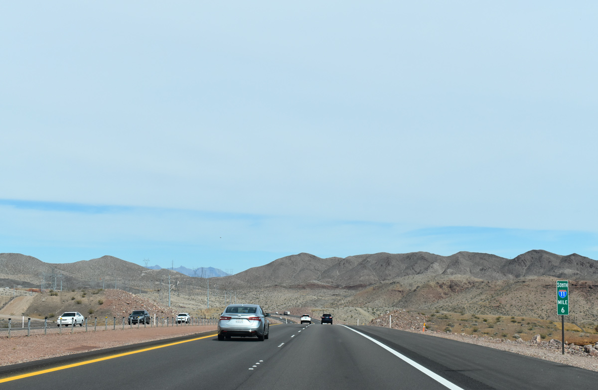
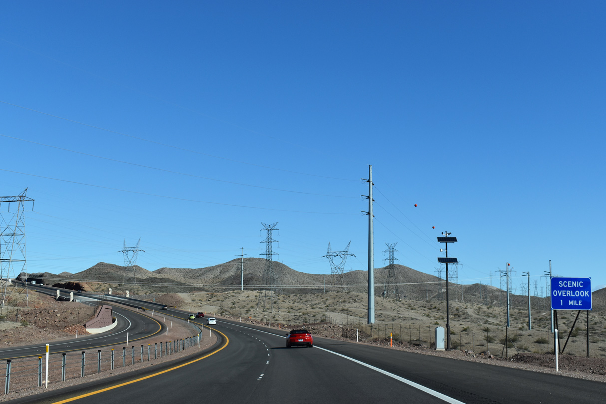
A large array of transmission lines converge at the Mead Substation just south of Interstate 11.
10/20/25
10/20/25
10/20/25
10/20/25
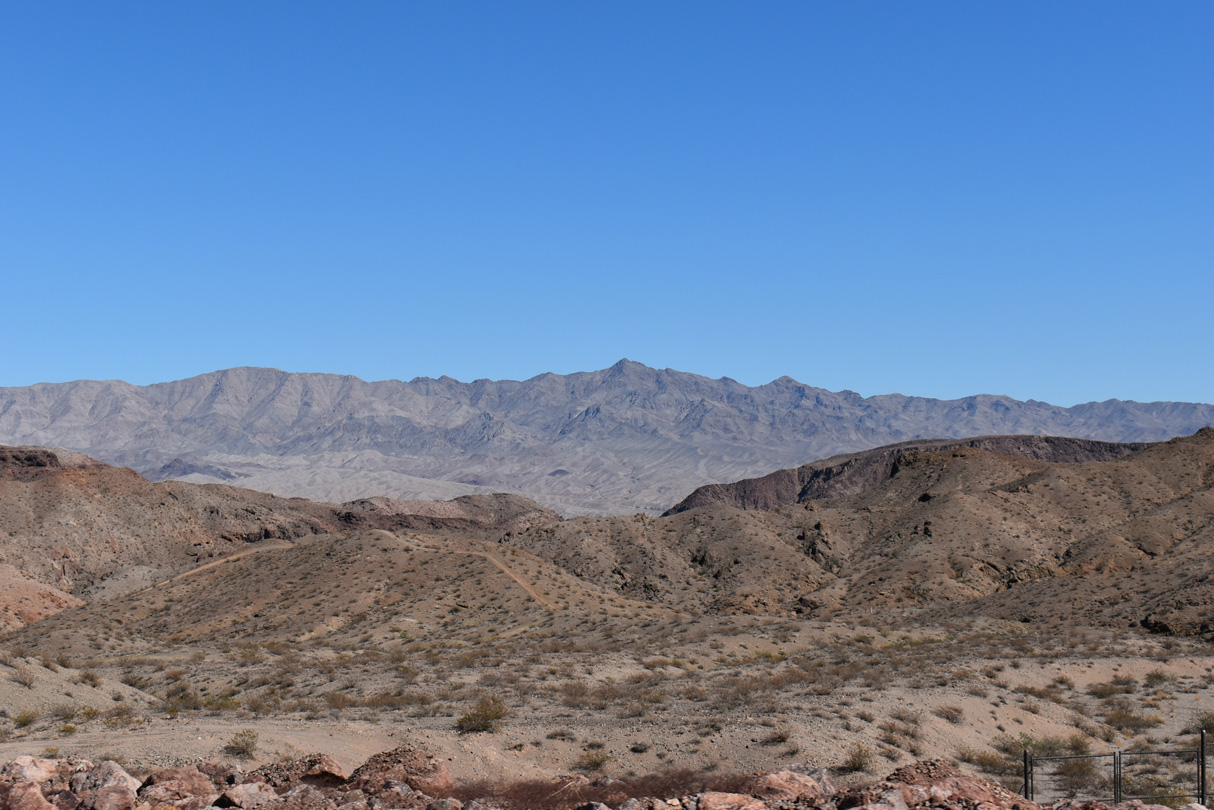
The Eldorado Mountains to the east of the Boulder City Bypass fall within the Black Canyon Wilderness tract of Lake Mead National Recreation Area.
10/20/25
10/20/25
Turning northeast, I-11/U.S. 93 gain elevation across northern reaches of the Eldorado Mountains.
10/20/25
10/20/25
10/20/25
Shifting northwest, the Boulder City Bypass briefly advances one to the scenic overlook for Lake Mead.
10/20/25
10/20/25
10/20/25
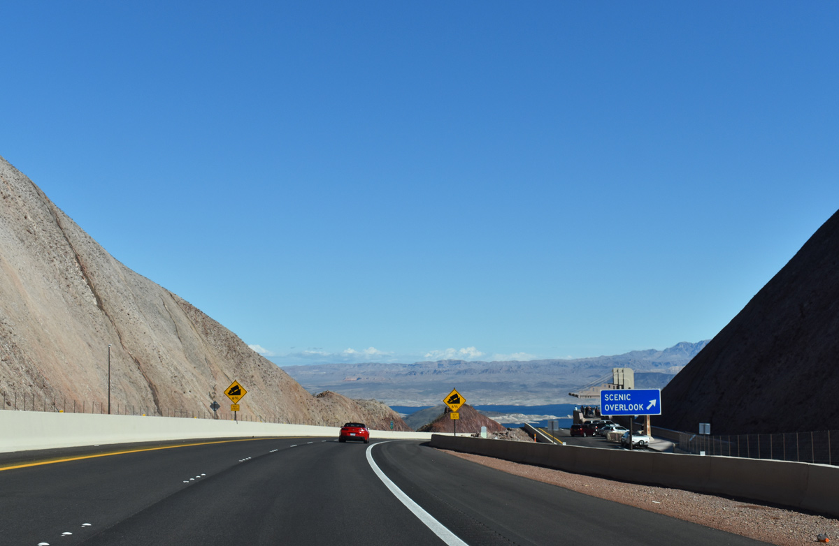
A wildlife overcrossing precedes the scenic lookout for Lake Mead.
10/20/25
10/20/25

The Robert L. Mendenhall Scenic Overlook includes an observation platform and canopy along with information boards.
10/20/25
10/20/25
I-11/U.S. 93 enter the Lake Mead National Recreational Area one mile from the return of U.S. 93 Business at Exit 2.
10/20/25
10/20/25
Hoover Dam Access Road, the old alignment of U.S. 93, spurs east from Exit 2 to Hoover Dam.
10/20/25
10/20/25
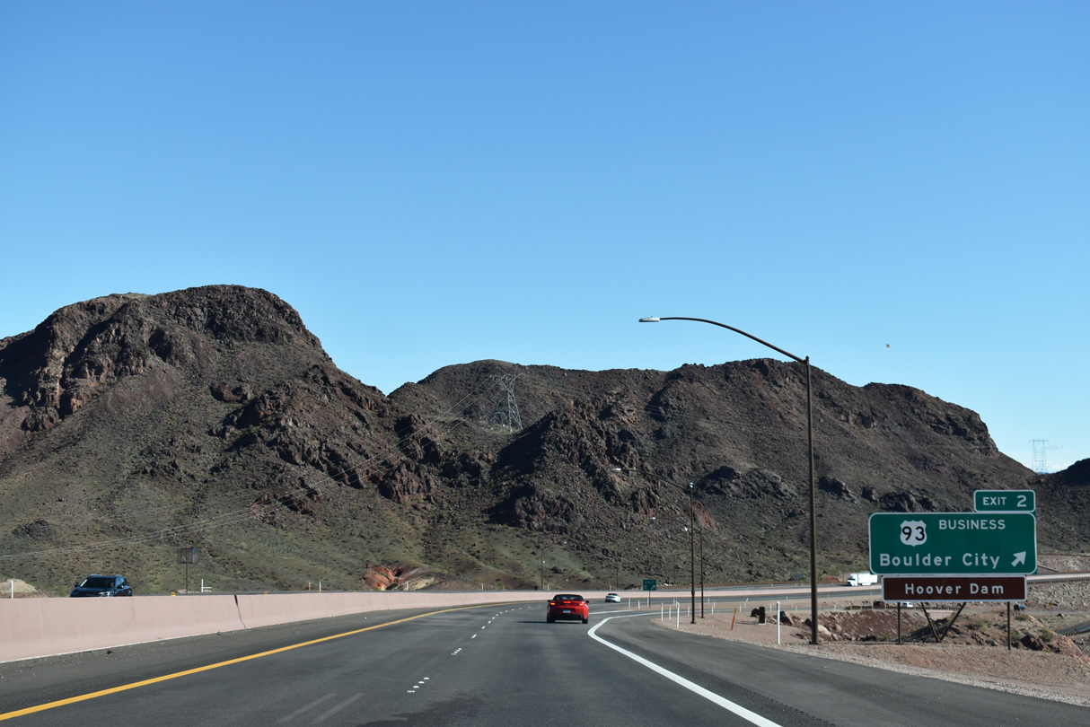
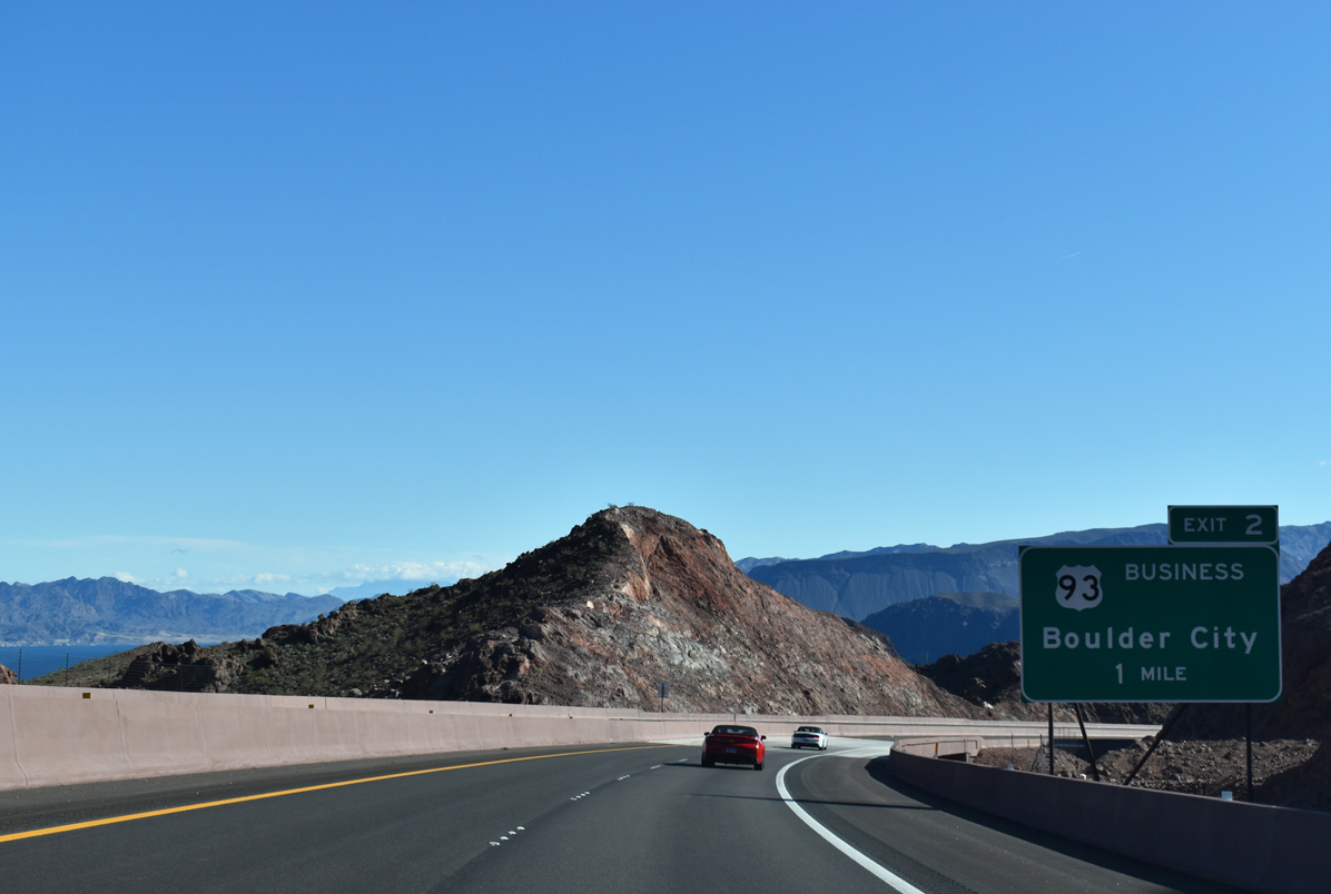
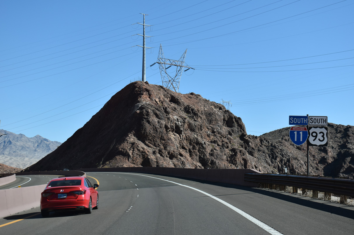
Exit 2 provides the final connection to Boulder City before I-11 and U.S. 93 continue southeast into Arizona.
10/20/25
10/20/25

Lake Mead comes into view to the north of Interstate 11 just ahead of Exit 2. Visible are Pyramid Island, Saddle Island and Boulder Beach.
10/20/25
10/20/25

Exit 2 leaves I-11/U.S. 93 south for U.S. 93 Business (Boulder City Parkway) north and SR 172, which follows the initial 1.365 miles of Hoover Dam Access Road east.
10/20/25
10/20/25
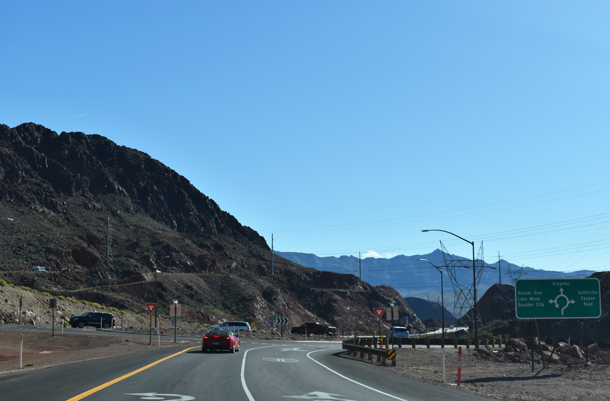
The diamond interchange at Exit 2 was modified to include a roundabout with connections to U.S. 93 Business west, SR 172 and Goldstrike Canyon Road. Traffic from U.S. 93 Business east ties into this ramp ahead of the roundabout to allow for free flow movement onto I-11 south.
03/07/19
03/07/19
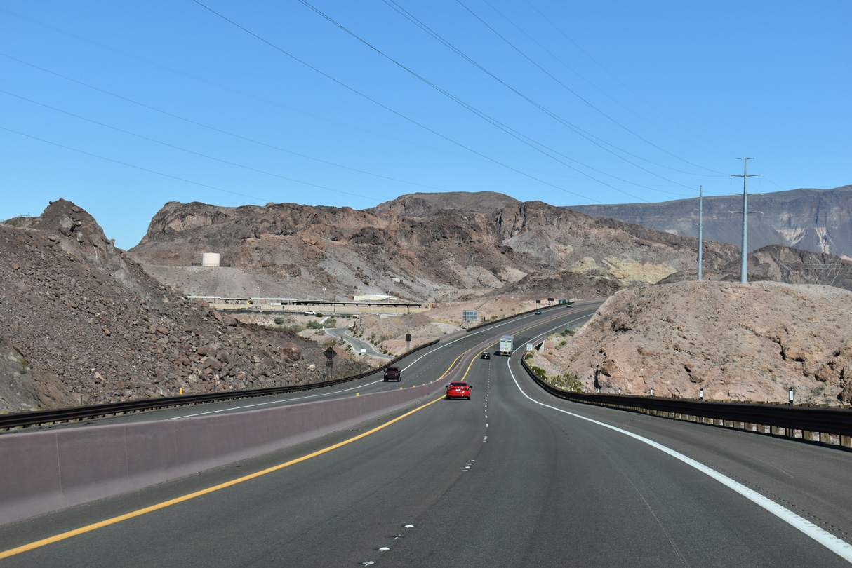
I-11/U.S. 93 south enter a long sweeping S-curve ahead of the Mike O' Callaghan-Pat Tillman Memorial Bridge over the Colorado River.
10/20/25
10/20/25
Hoover Dam Access Road appears along the north side of I-11/U.S. 93.
10/20/25
10/20/25
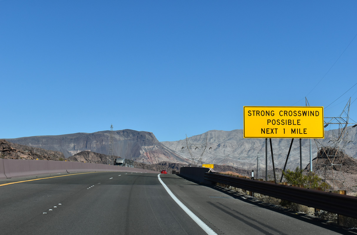
Due to the extreme height of the forthcoming span across the Colorado River, strong wind gusts are possible along the Mike O' Callaghan-Pat Tillman Memorial Bridge.
10/20/25
10/20/25
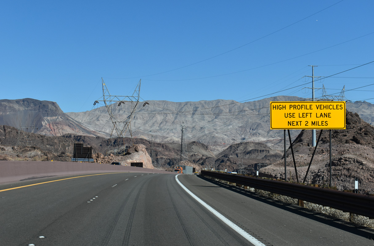
Certain vehicle types are advised to remain in the inner / left lane for the next two miles due to the possibility of strong cross winds across Black Canyon.
10/20/25
10/20/25
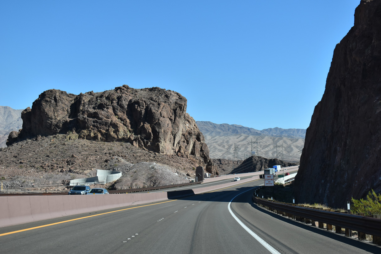
Located south of Hoover Dam, the Mike O' Callaghan-Pat Tillman Memorial Bridge crossing the Colorado River into Arizona opened to traffic October 2010.
10/20/25
10/20/25

Named after a former governor (O' Callaghan) and former professional football player/military specialist (Tillman), the bridge rises 890 feet above the Colorado River. The concrete arch bridge also features a pedestrian walkway on the north side of the span.
10/20/25
10/20/25
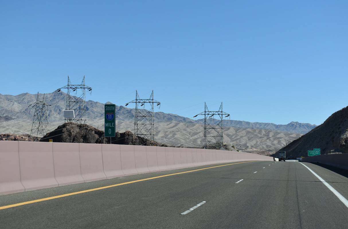
Milepost zero for Interstate 11 marks the Arizona state line midway across the Colorado River.
10/20/25
10/20/25
References:
- "Nevada Hwy Becoming Boulder City Parkway." Boulder City News & Happenings, November 2, 2014.
Photo Credits:
- ABRoads: 10/20/25
- Brent Ivy: 03/07/19
Connect with:
Page Updated Friday October 31, 2025.