
Interstate 15

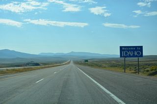
Interstate 15 travels 195.80 miles through eastern Idaho from the Utah state line through Malada Valley north into Montana across Monida Pass. Replacing or paralleling U.S. 91 north from Virginia in the Marsh Valley, I-15 connects Pocatello with Idaho Falls.
Interstate 15 Idaho Guides
South - McCammon to Utah - 55 photos
South - Montana to Roberts - 59 photos
South - Idaho Falls to Blackfoot - 49 photos
South - Pocatello to Inkom - 42 photos
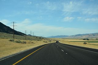
Heading north from Tremonton, Utah, I-15 superseded the original route of U.S. 191. the freeway parallels the Malad Range across eastern reaches of Malad Valley north to Malad City. North from there, I-15 traverses the Bannock Range, entering Bannock County north of Malad Summit.
Continuing north through the Marsh Valley, U.S. 91 combines with I-15 from Virginia to Pocatello. U.S. 30 joins the two routes from McCammon, where the first business loop from I-15 is located. A second business route serves Inkom, where I-15/U.S. 30-91 turn west away from the Portneuf Range to circumvent the Pocatello Range.
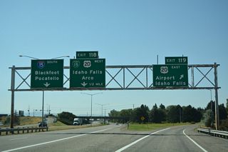
I-15/U.S. 30-91 enter Pocatello from the southeast. The U.S. Highways separate from I-15 along Business Loop I-15 to Downtown Pocatello while I-15 runs across the east side of the city to I-86 and the city of Chubbock.
North from Chubbock, I-15 and parallel U.S. 91 travel across agricultural areas through the Fort Hall Indian Reservation. The two routes switch sides leading northeast into Blackfoot, with Business Loop I-15 accompanying U.S. 91 to U.S. 26.
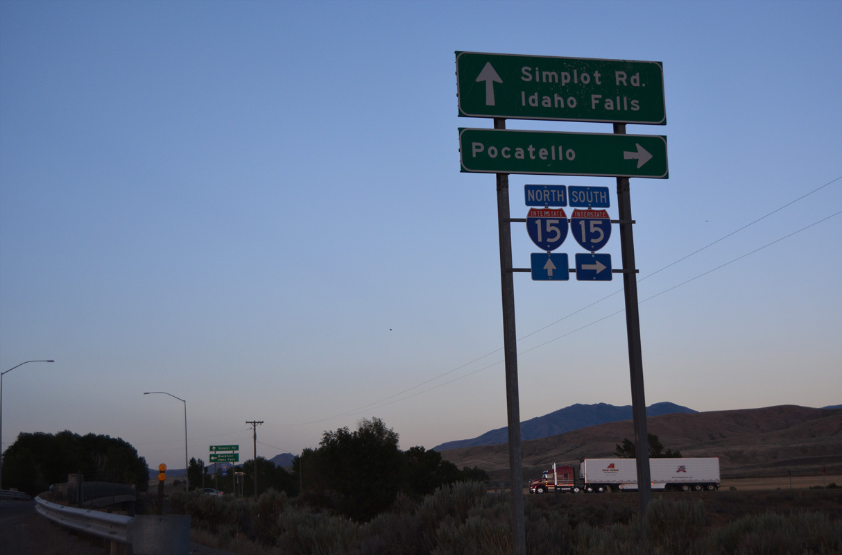
Generally paralleling the Snake River to the west, I-15 advances northeast from Blackfoot to Idaho Falls, where the final business loop is located. U.S. 20 briefly overlaps with I-15 at Idaho Halls before turning northeast along a freeway to Rigby and Rexburg. U.S. 91 ends at Business Loop I-15 in south Idaho Falls.
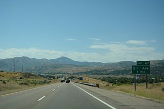
Beyond Idaho Falls, Interstate 15 continues along the Snake River to Roberts. The lightly traveled route heads to Dubois and then into Targhee National Forest. Northern reaches of the freeway travel between the Bitterroot Range and Centennial Mountains to the Montana state line at Monida.
Ross Fork Road connects with Interstate 15 east from Fort Hall at Exit 80. This sign assembly was removed during construction expanding Ross Fork Road into a four lane boulevard at the diamond interchange with I-15 in 2023/24.
07/07/16
Photo Credits:
- Alex Nitzman: 07/07/16
Connect with:
Page Updated Wednesday April 01, 2026.