
Idaho Road & Highway Photo Guides
Sitemap to road and highway photo guides for Idaho.
Interstates
 Interstate 15
206 photos
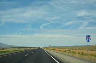
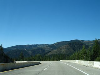
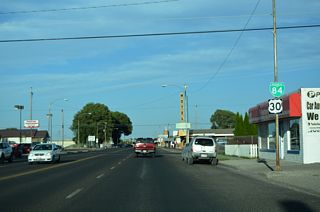
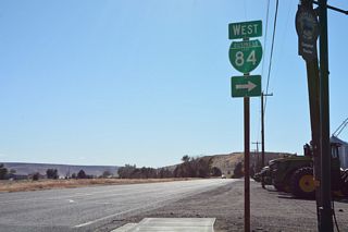
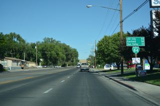
 Interstate 84
510 photos
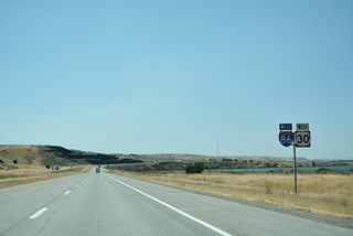
 Interstate 86
75 photos
 Interstate 90
205 photos
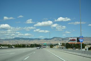
 Interstate 184 - Boise Connector
27 photos
Business Routes
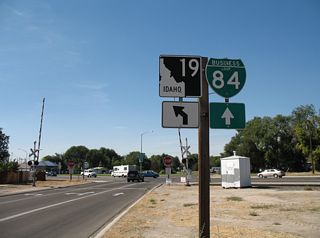
 Business Loop I-84 - Bliss
15 photos
 Business Loop I-84 - Burley / Heyburn
62 photos
 Business Loop I-84 - Glenns Ferry
15 photos
 Business Loop I-84 - Mountain Home
18 photos
 Business Loop I-84 - Caldwell-Nampa
17 photos
 Former Business Loop I-90 - Coeur d'Alene
19 photos
U.S. Highways
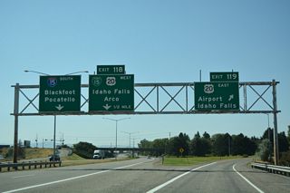
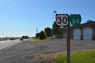
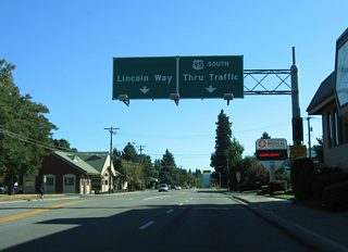
 U.S. 20
146 photos
 U.S. 95
15 photos
State Highways
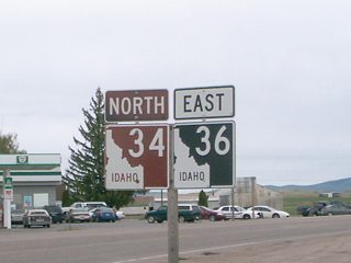
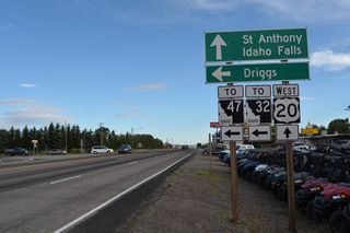
 State Highway 36
3 photos
 State Highway 41
12 photos
 State Highway 78
30 photos
Other Roads
16 photos
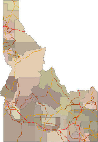
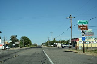
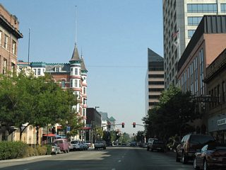
Photo Coverage of Roads and Highways in Idaho
AARoads documents highways and roads across Idaho with route-by-route photo guides organized by direction of travel. Coverage includes Interstate Highways, U.S. Routes, and Idaho State Highways.
Photo guides focus on highway signage, interchanges, route markers, city limit signs, county lines, and notable points of interest along each route. Coverage emphasizes long rural corridors with detailed documentation of reassurance markers and route junctions.
New and updated photos for Idaho routes are added periodically and cataloged on the updates page.
Photographic Contributors
Photography by Alex Nitzman, Andy Field, Brent Ivy, Chris Kalina and Landry Heaton.
About Idaho
- Capital:
 Boise
Boise - Nickname: Gem State
- Area: 82,751 square miles
- Statehood: 43rd state; admitted July 3, 1890
- Total Interstate Mileage: 611.76 miles
- Highest Point: Borah Peak, 12,662 feet
Last updated: Tuesday April 7, 2026