
Interstate 15 South - Cove Fort to Beaver
 South
South
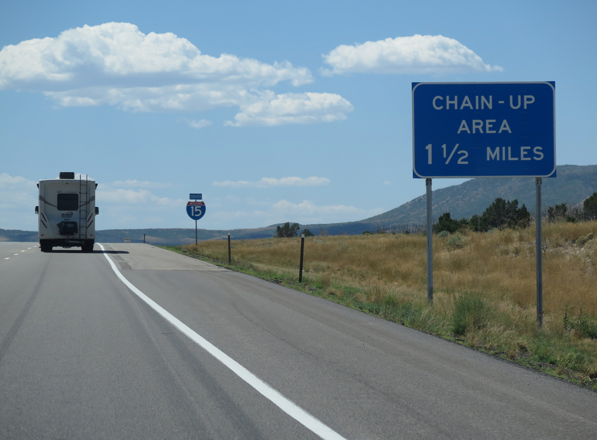
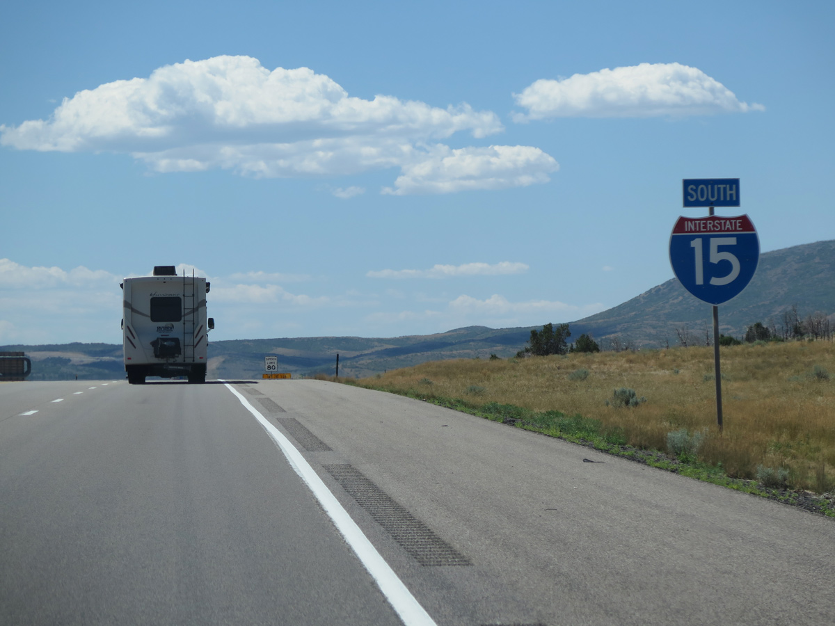
The Beaver County line crosses I-15 at the trumpet interchange (Exit 132) with Interstate 70 east.
07/12/15
07/12/15
08/12/16
08/12/16
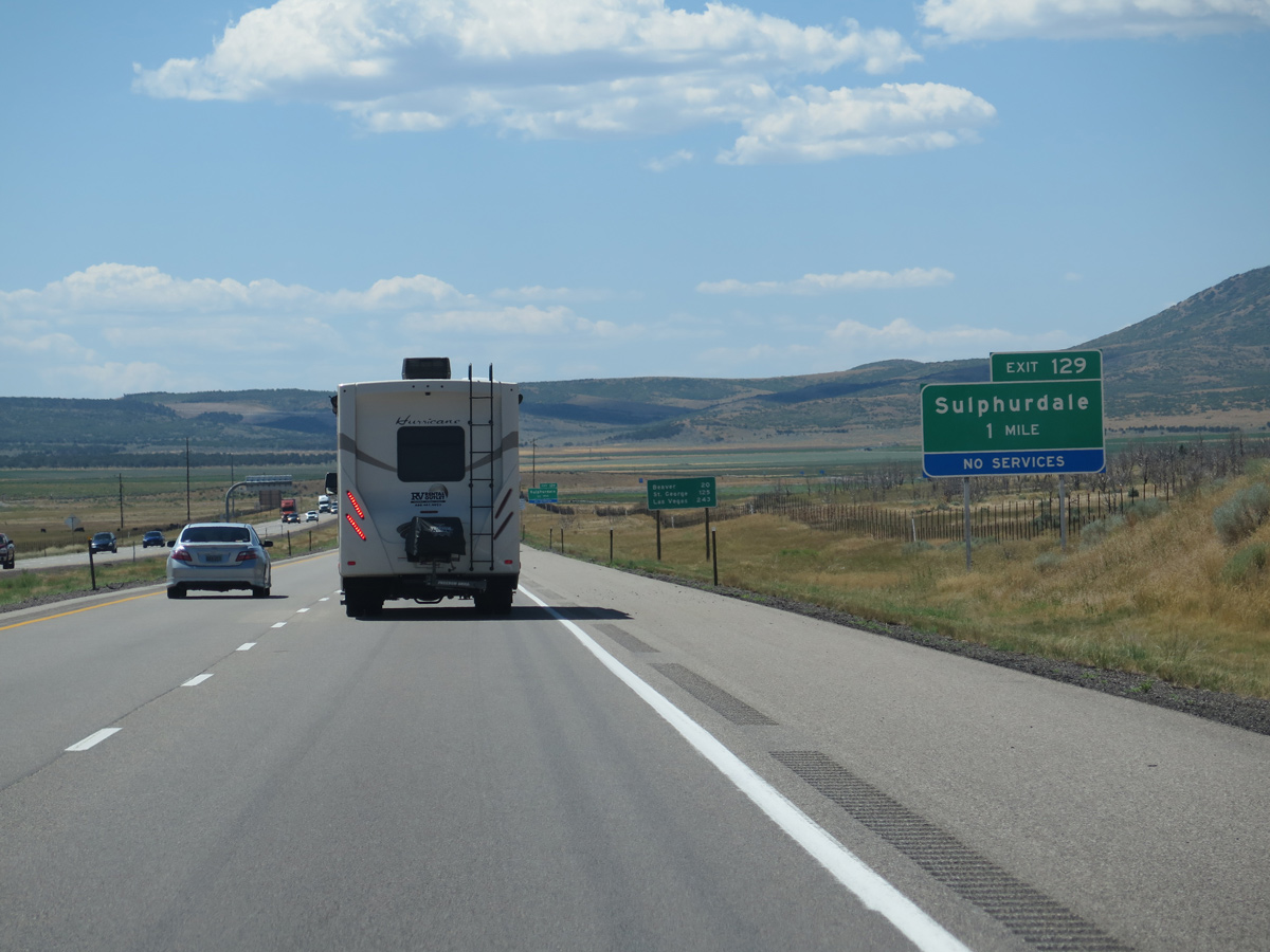
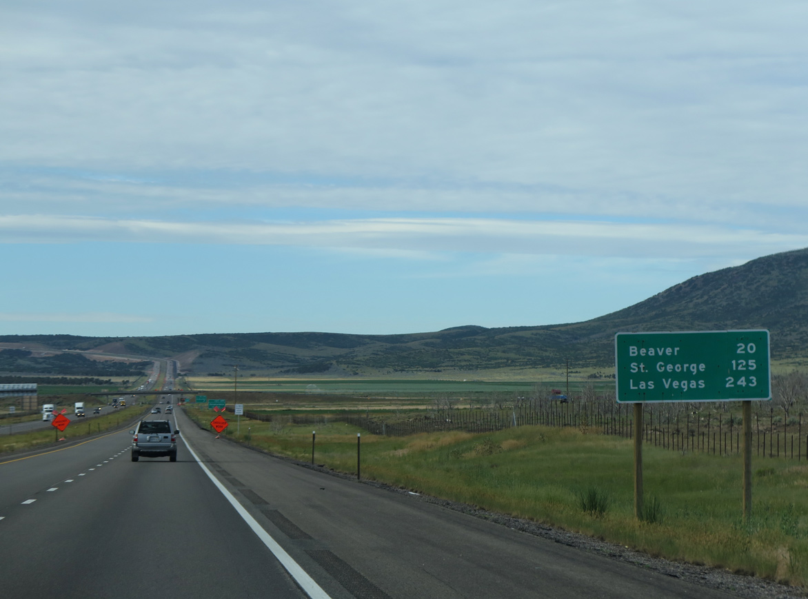
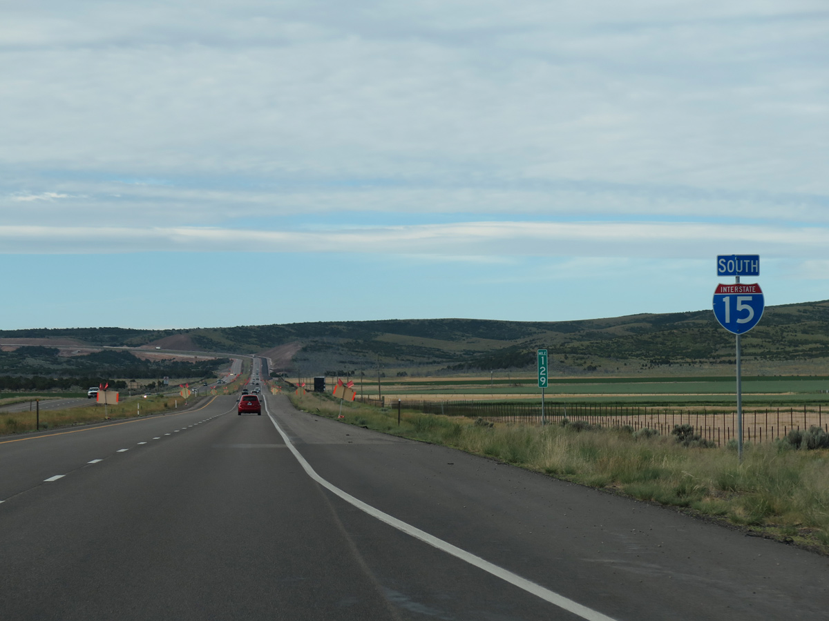
Old U.S. 91 returns to I-15 at Exit 129 south from Sulphurdale along Pine Creek Highway.
08/12/16
08/12/16
07/12/15
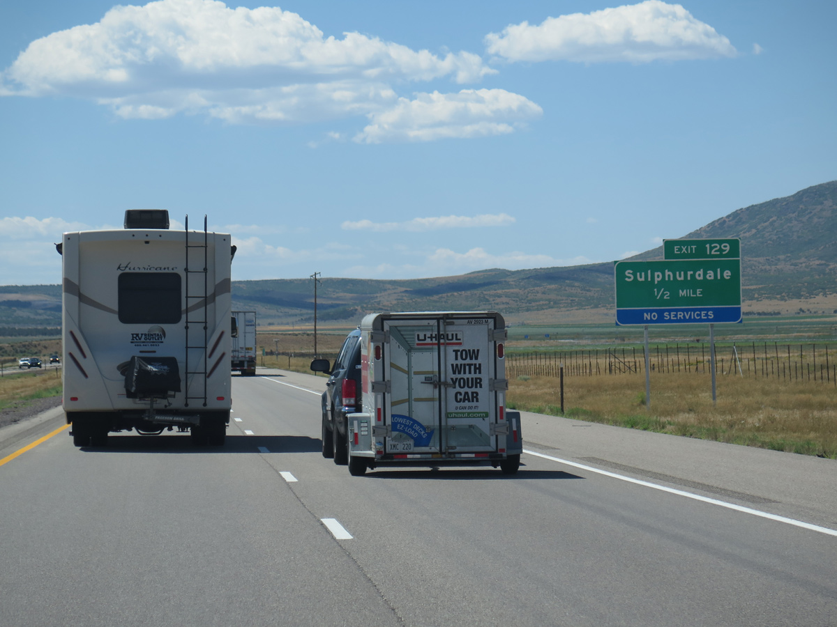
Pine Creek Highway (historic U.S. 91) continues south as an unpaved road to Pine Creek east of I-15.
08/12/16
08/12/16
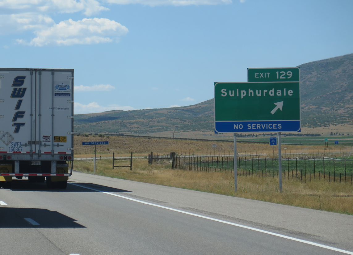
The diamond interchange at Exit 129 connects I-15 south with Cunningham to Pine Creek Highway west as well as Sulphurdale.
08/12/16
08/12/16
07/12/15
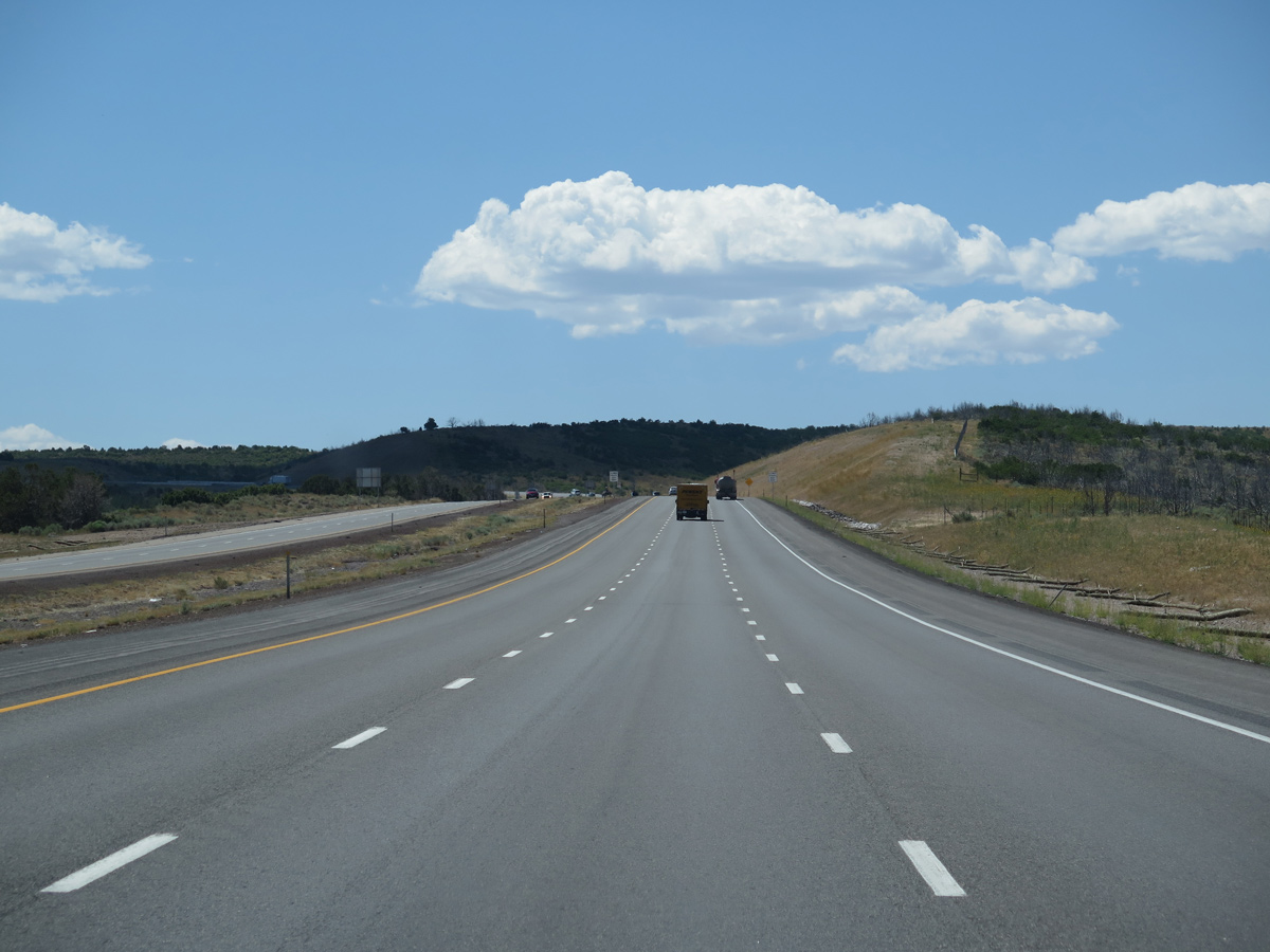
A northbound rest area was formerly located near mile marker 127.
08/12/16
08/12/16
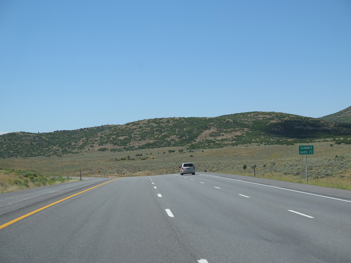
Interstate 15 ascends to a summit of 6,600 feet above sea level east of Woodtick Hill (el, 7,447 feet).
08/12/16
08/12/16
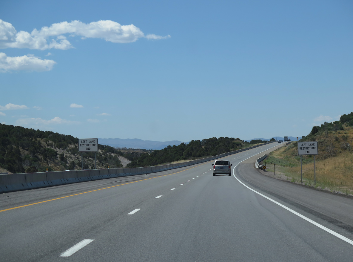
A diamond interchange was originally located at mile marker 125 with ranch roads between Bull Hollow Road and Teslan Highway. It was demolished by 2004.
08/12/16
08/12/16
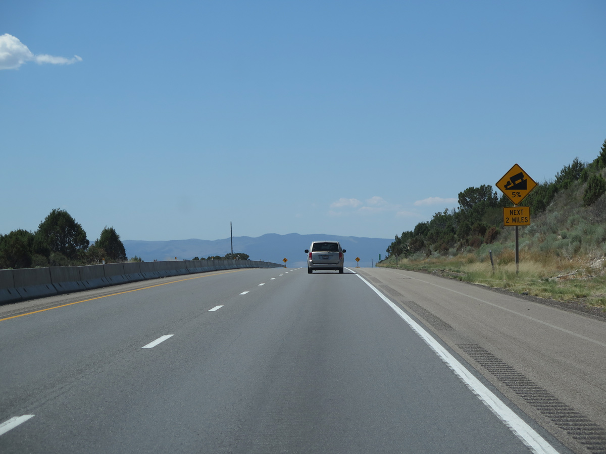
Interstate 15 lowers at a 5% grade south between Bull Hollow and Mud Spring Hollow.
08/12/16
08/12/16
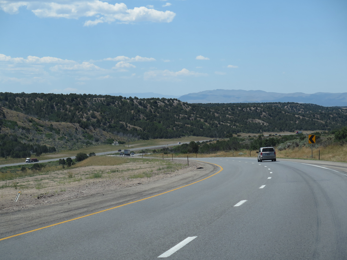
Interstate 15 south at Mud Spring Hollow, west of Cedar Knoll (el. 6,893 feet).
08/12/16
08/12/16
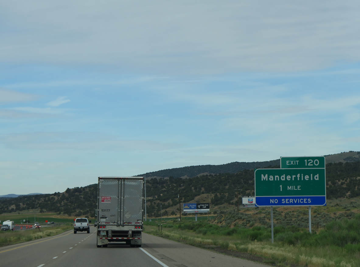
Manderfield Road branches south from I-15 at forthcoming Exit 120 along old U.S. 91/former SR 160 to the unincorporated community of Manderfield.
07/12/15
07/12/15
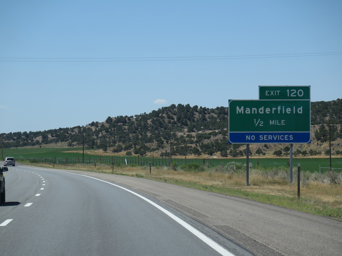
Manderfield Road / County Road 357 parallel I-15 south 8.86 miles between the Manderfield Interchange (Exit 120) and Business Loop I-15/SR 160 (Main Street) in the city of Beaver.
08/12/16
08/12/16
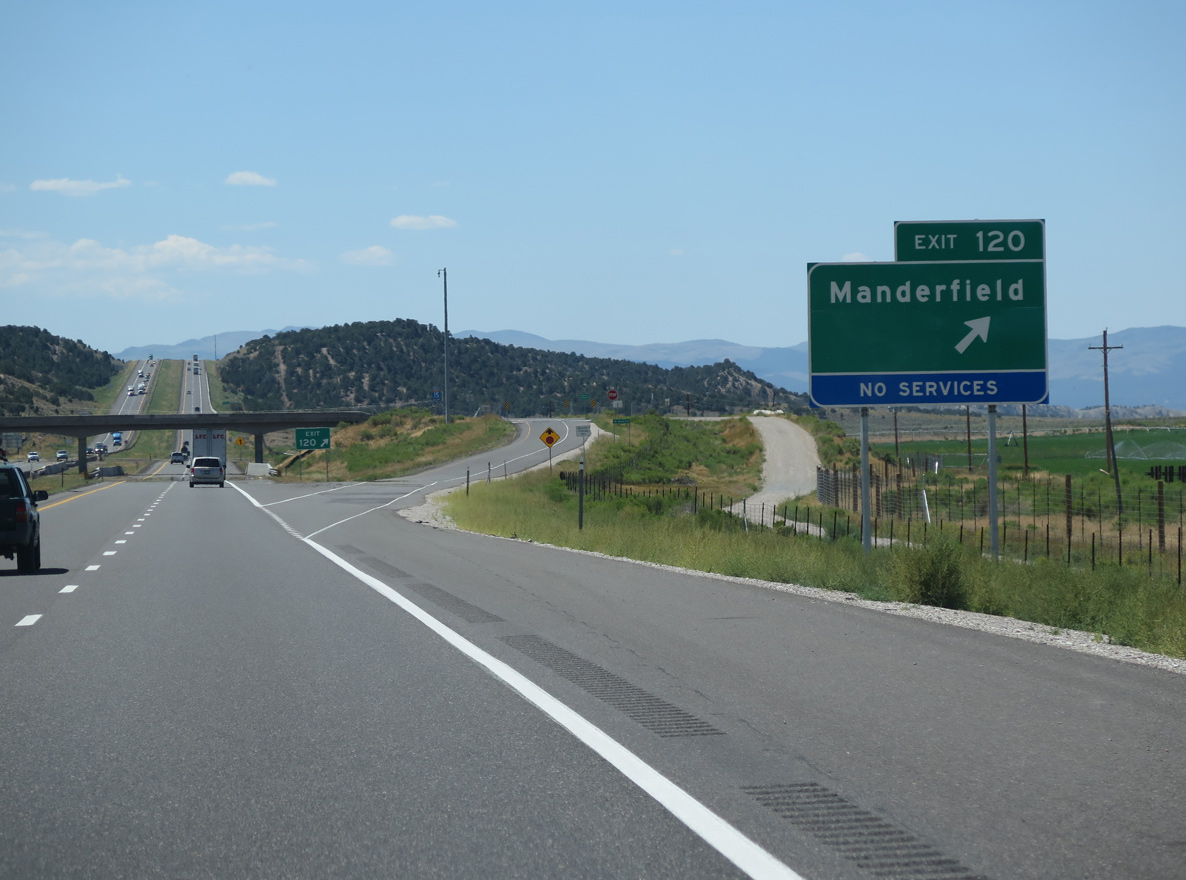
The diamond interchange at Exit 120 lies adjacent to Wildcat Creek and the Wildcat Fields.
08/12/16
08/12/16
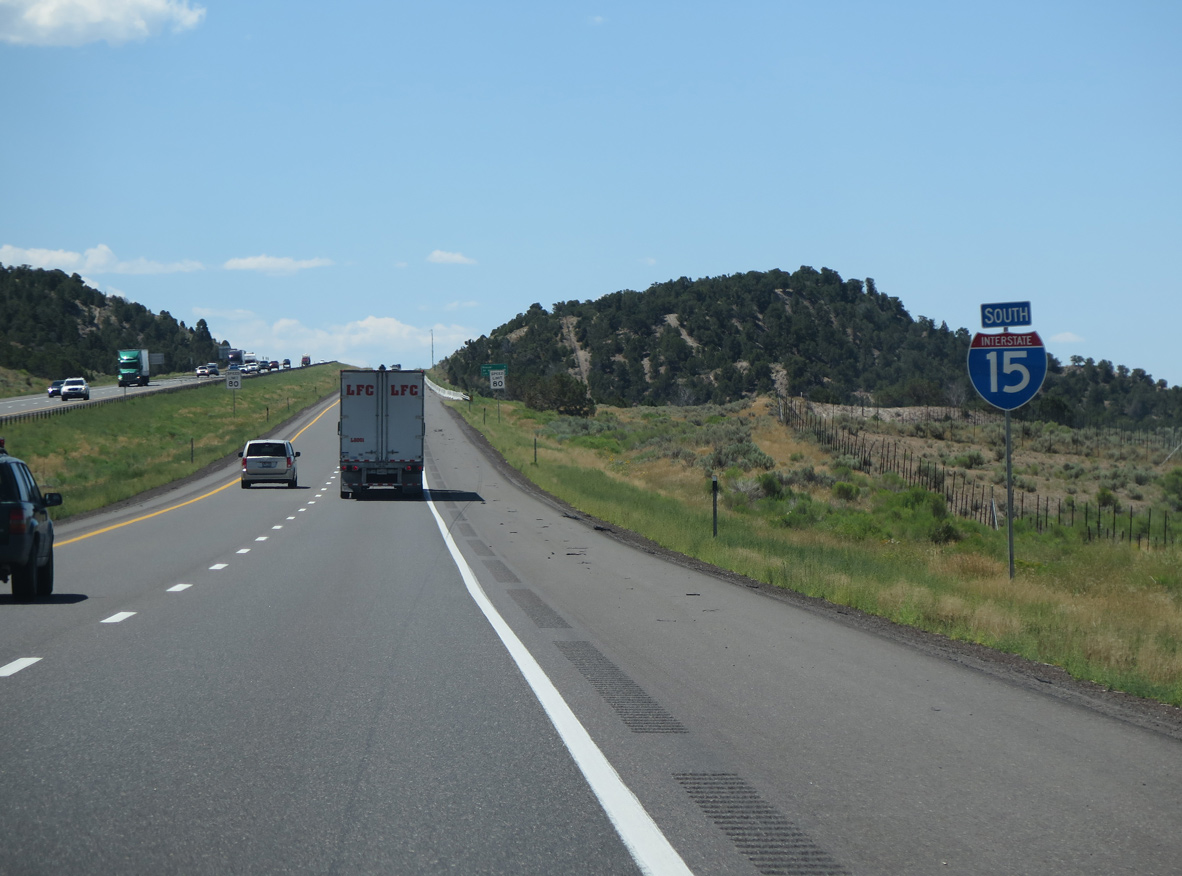
08/12/16
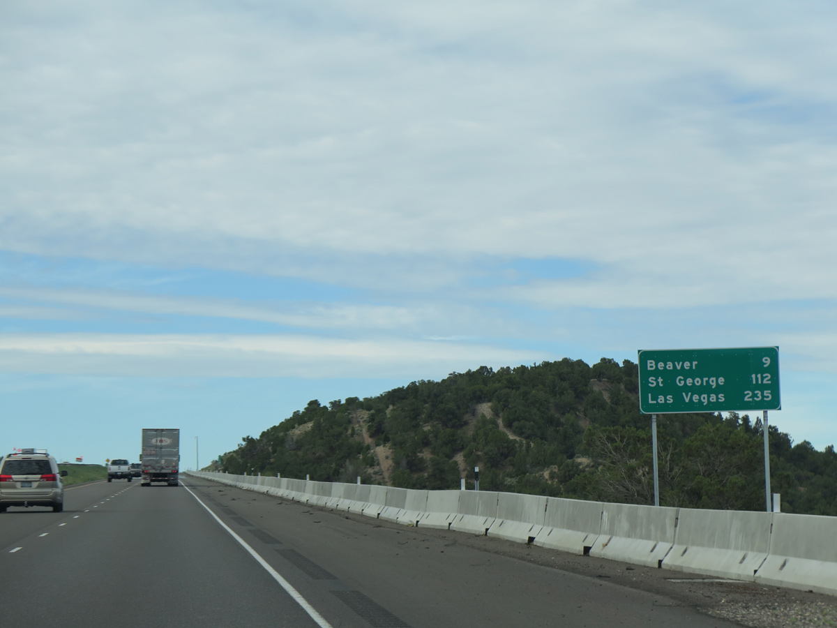
07/12/15
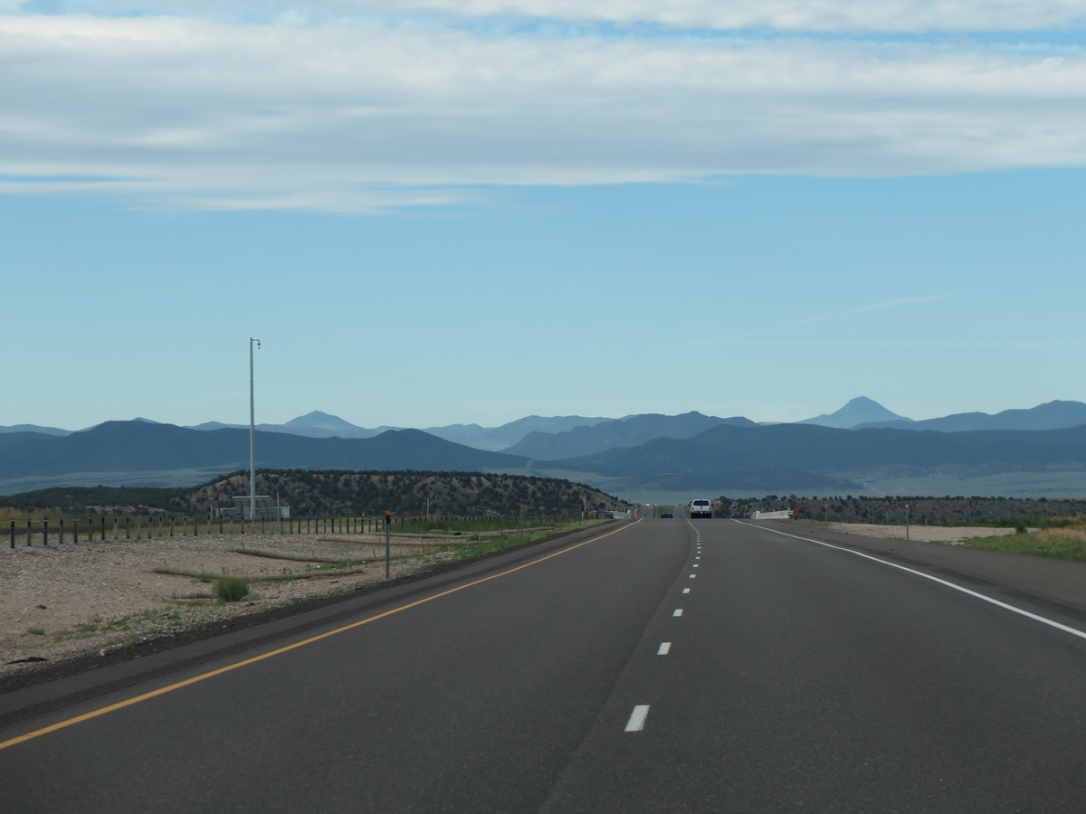
07/12/15
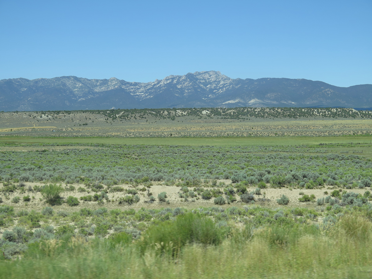
The Mineral Mountains
08/12/16
08/12/16
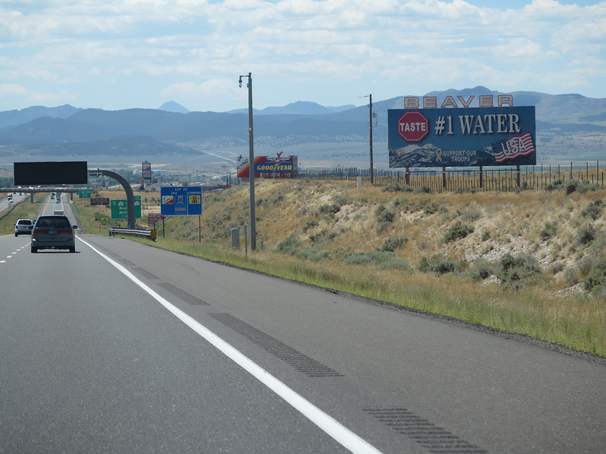
The result of a national taste test competition sponsored by the National Rural Water Association in 2006, Beaver earned the distinction of having the best tasting water in the U.S. According to a Salt Lake Tribune article,
08/12/16
15 springs, two wells and lack of chemicals make it the tastiest, clearest and best smelling (water).
08/12/16
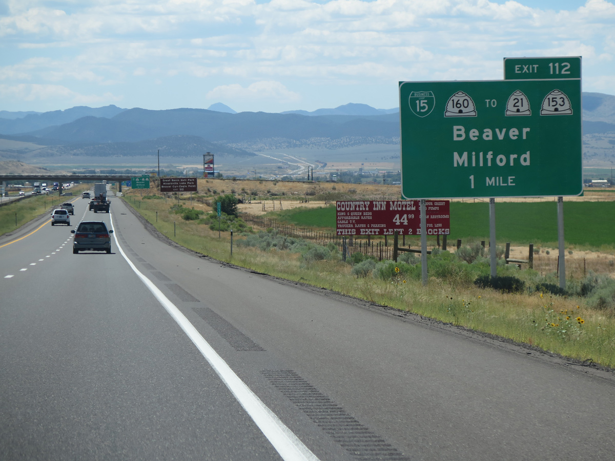
Forthcoming Business Loop I-15 links I-15 with SR 21 and SR 153. Originating in Beaver, SR 21 comprises a 107.66 mile long highway northwest from Business Loop I-15/SR 160 (Main Street) to Nevada State Route 487.
08/12/16
08/12/16
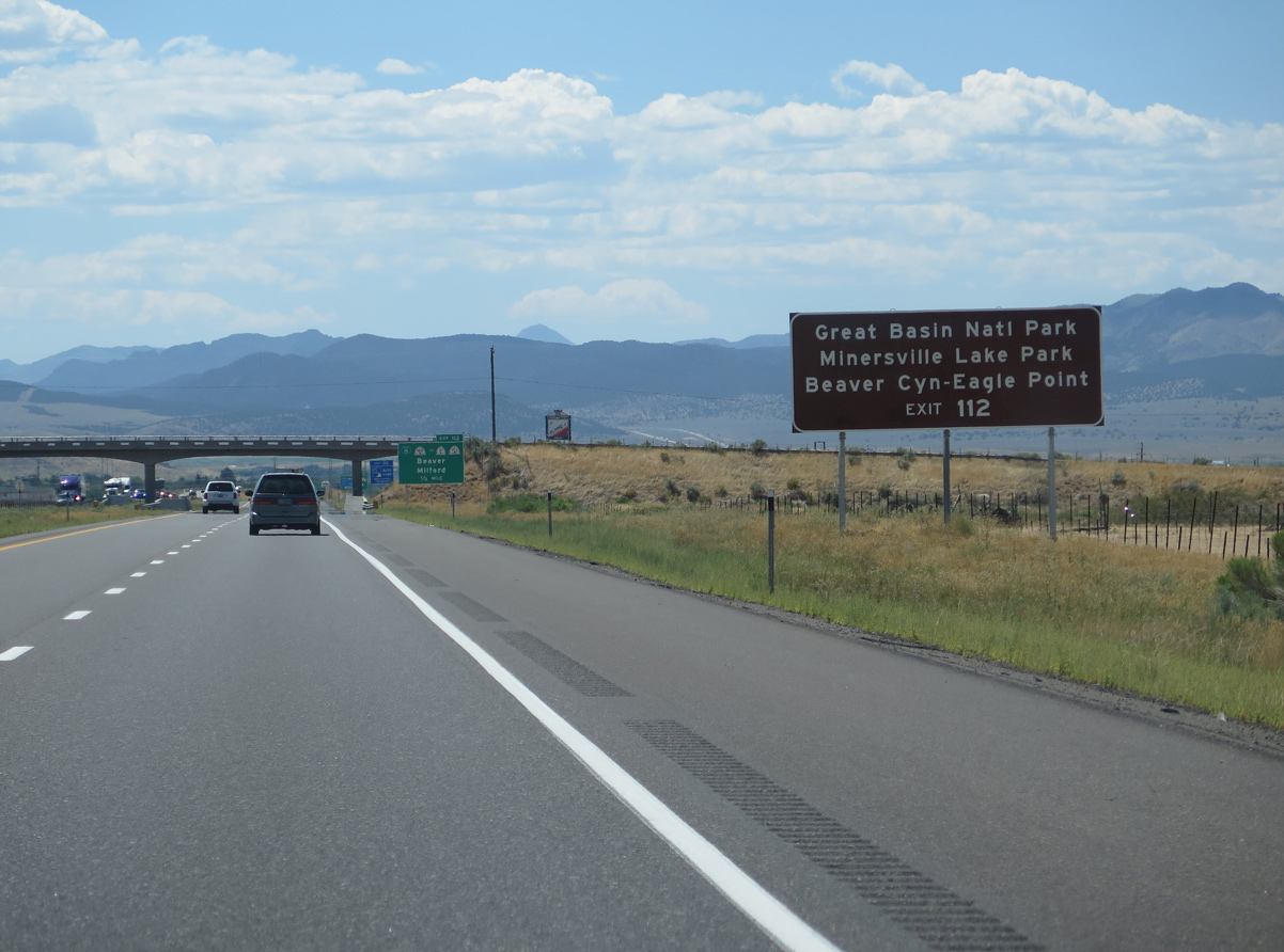
A variety of recreational areas are accessed via Exit 120 and SR 21 west from Beaver. Among these are Great Basin National Park, which includes alpine scenery and Lehman Caves. Minersville Reservoir State Park lies midway between Beaver and Minesville.
08/12/16
08/12/16
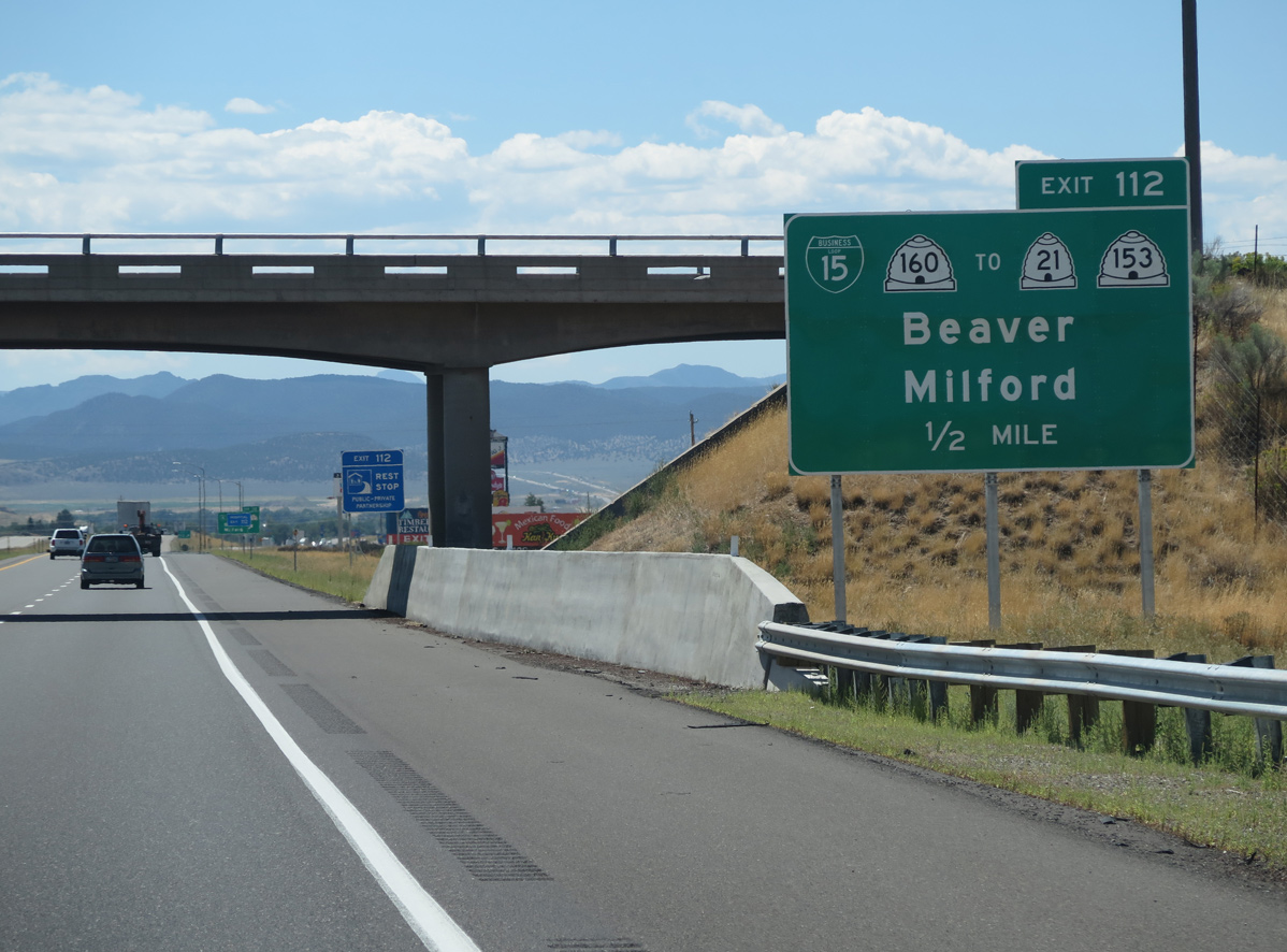
SR 153 (Beaver Canyon Scenic Byway) ascends east into the Tushar Mountains ahead of Eagle Point ski resort and Fishlake National Forest.
08/12/16
08/12/16
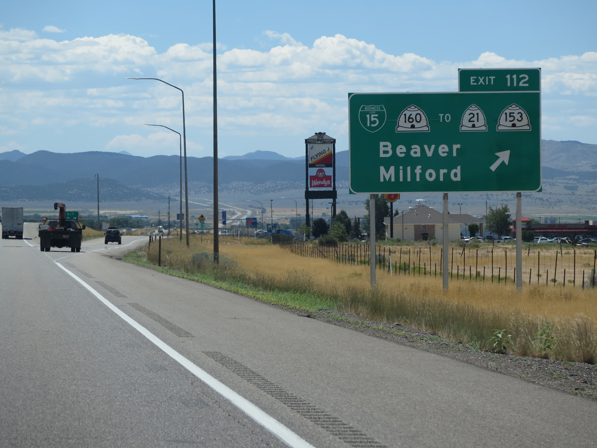
1400 North extends west from the diamond interchange (Exit 112) with Business Loop I-15 to several motorist services. Including an unpaved section, SR 153 (200 North) travels 40.51 miles east from Puffer Lake to U.S. 89 in Junction City.
08/12/16
08/12/16
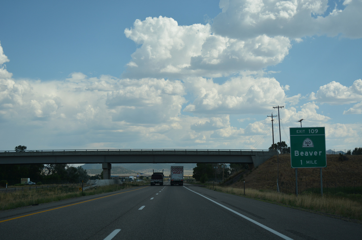
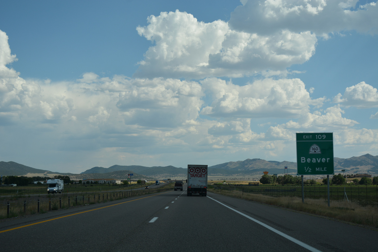
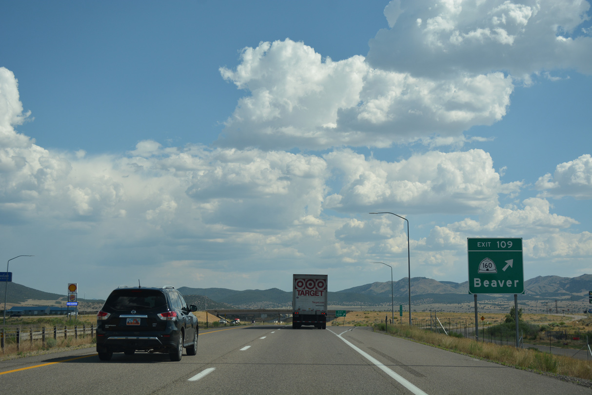
Business Loop I-15/SR 160 (Main Street) conclude a 3.80 mile long loop at Exit 109 in south Beaver.
07/15/17
07/15/17
Home to 3,305 as of 2020, the city of Beaver sits at an elevation of 5,902 feet above sea level. Settled by Mormon pioneers, Beaver incorporated on January 10, 1867.
07/15/17
07/15/17
Old Highway 91 stems south from Business Loop I-15/SR 160, just east of the diamond interchange at Exit 109. I-15 overtakes the former alignment through Nevershine Hollow.
07/15/17
07/15/17
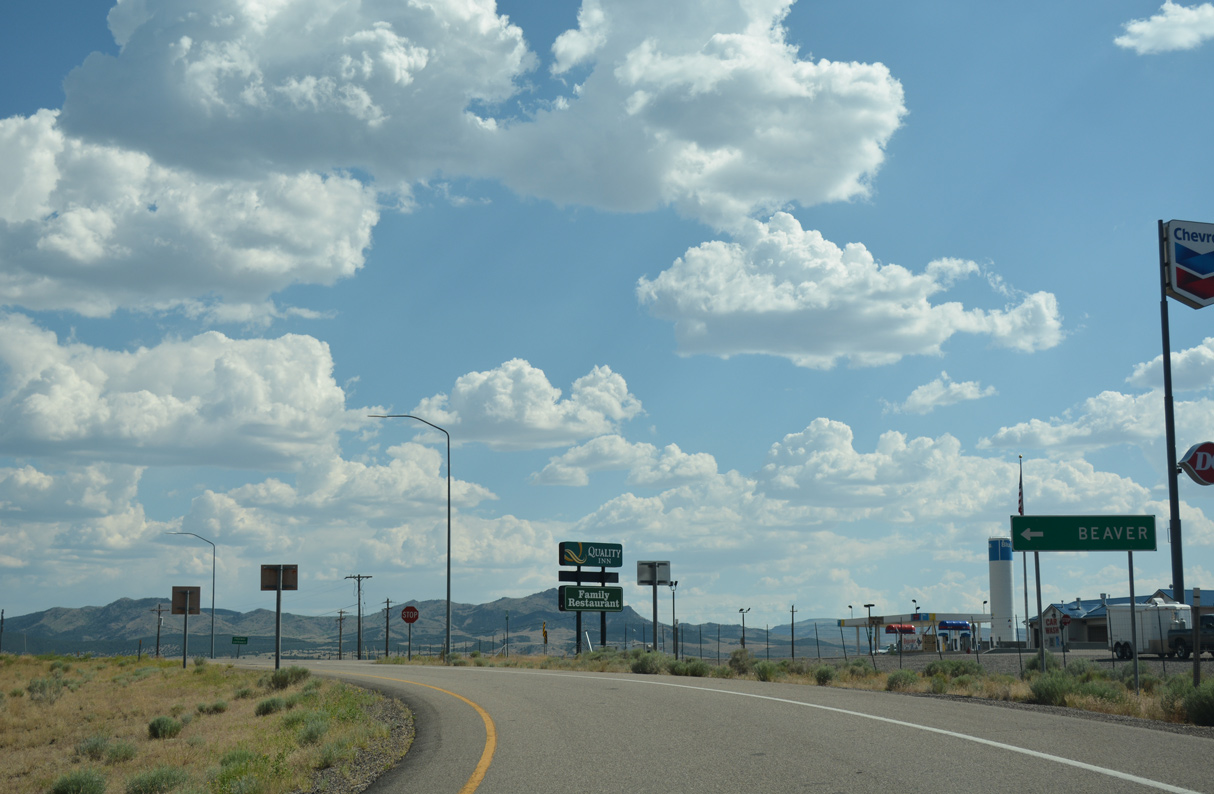
Beaver City Airport (U52) lies southwest of the exchange with Business Loop I-15/SR 160. Downtown Beaver is two miles to the north.
07/15/17
07/15/17
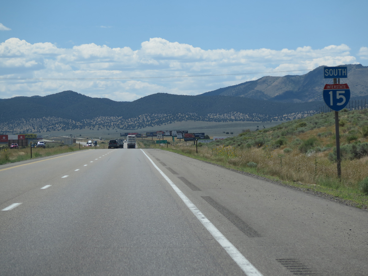
08/12/16
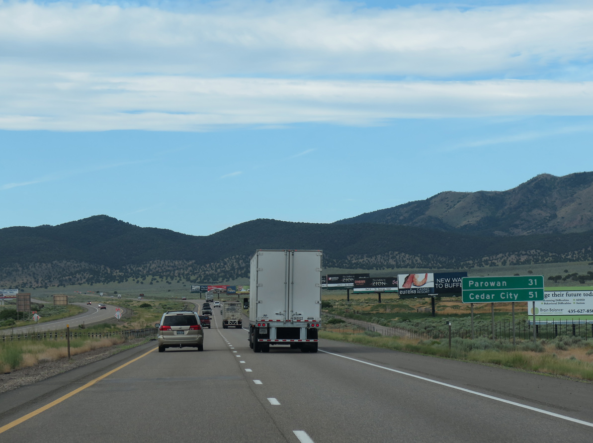
07/12/15
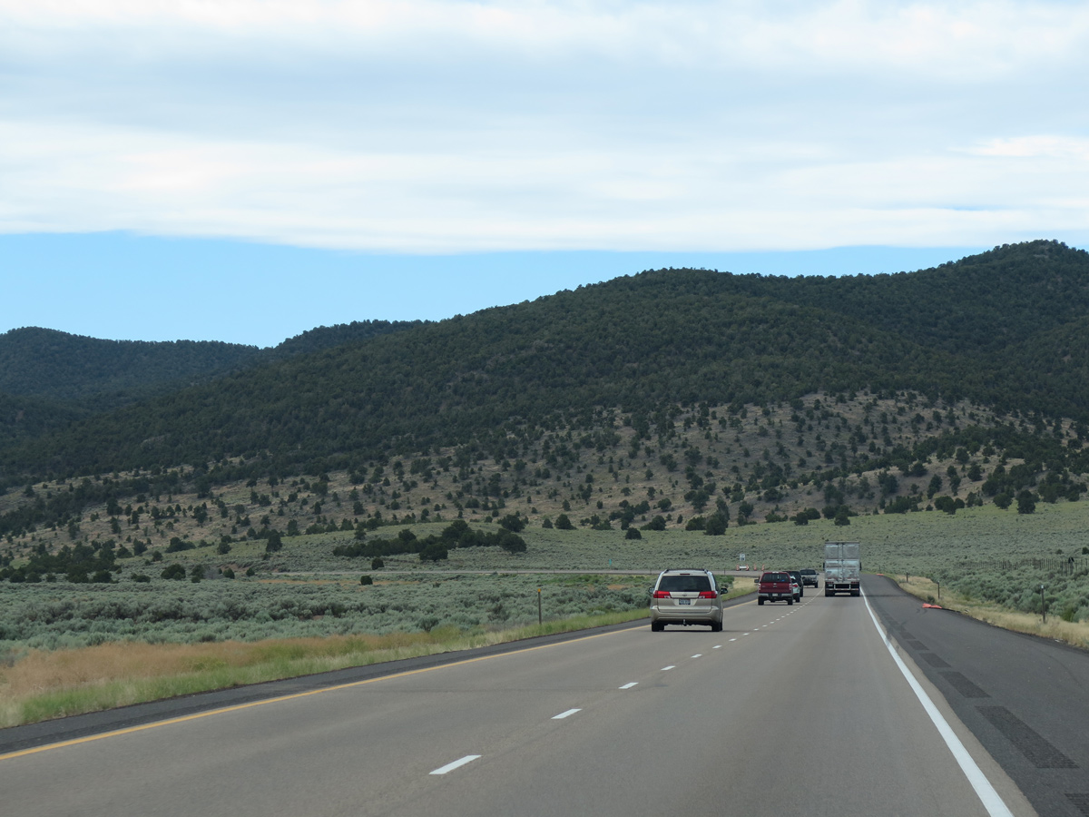
07/12/15
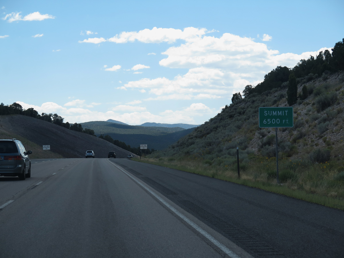
Interstate 15 climbs to a summit of 6,500 feet above sea level through Nevershine Hollow.
08/12/16
08/12/16
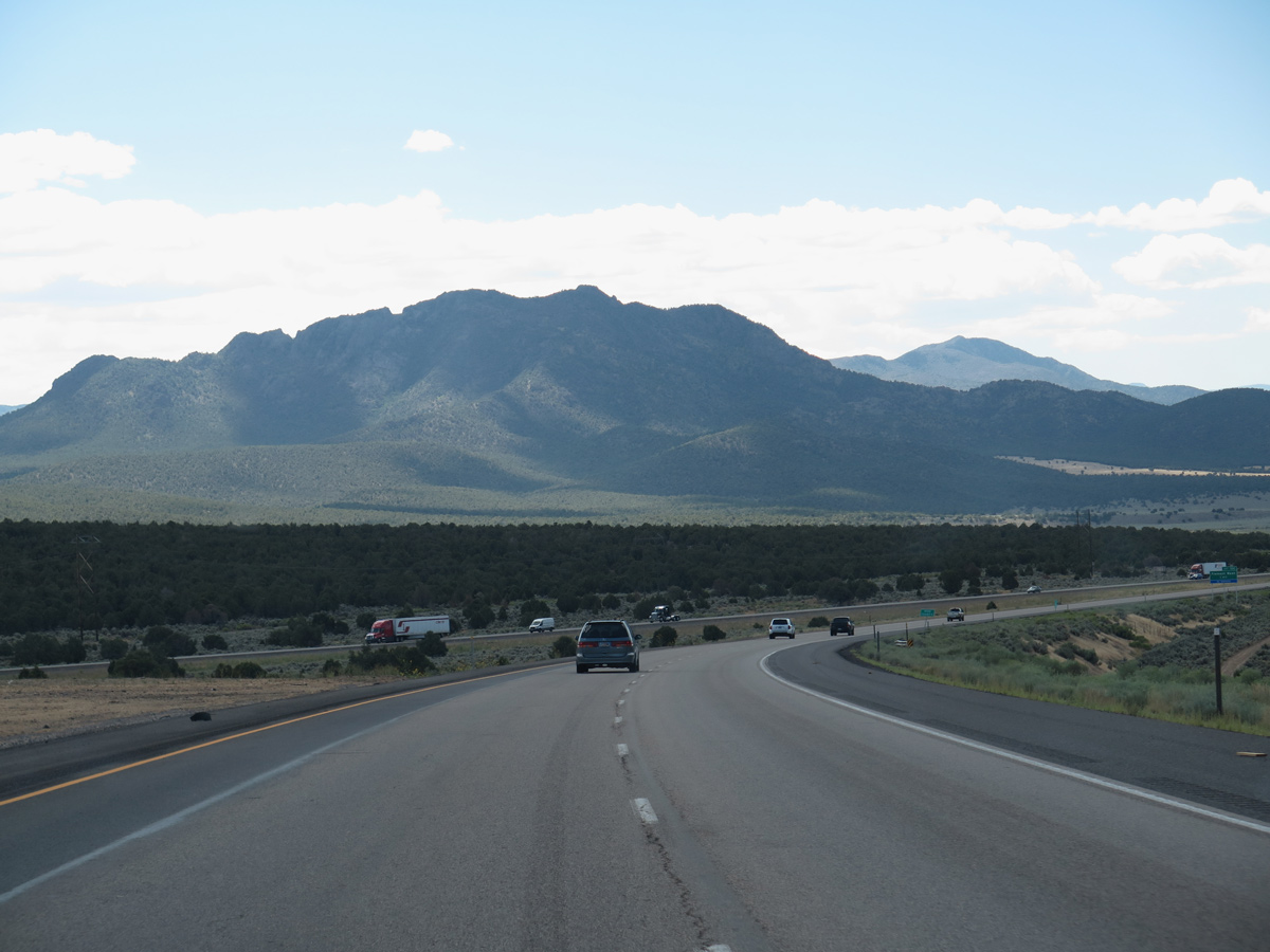
The roadways for I-15 separate across Beaver Ridge.
08/12/16
08/12/16
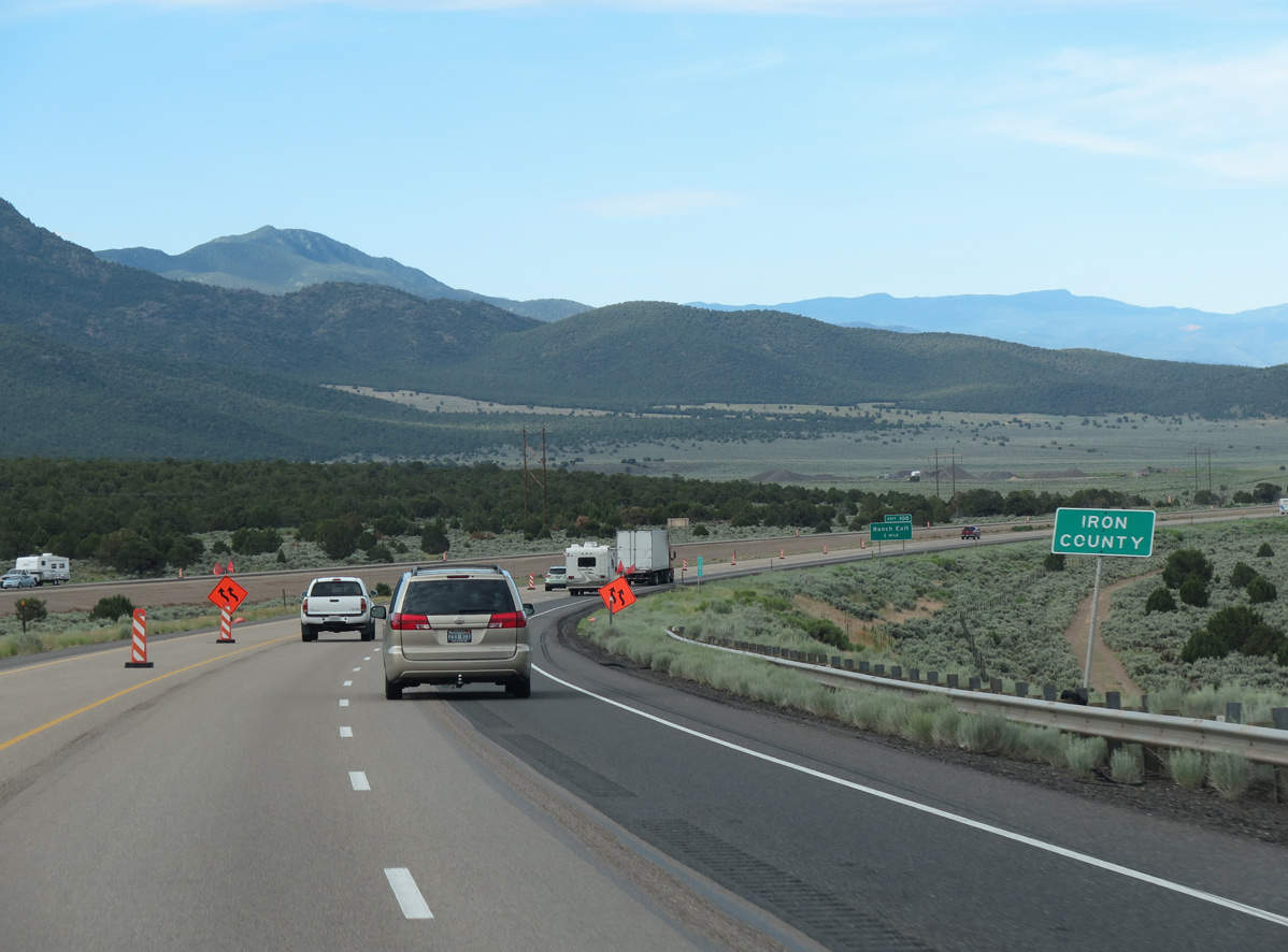
Curving southwest, Interstate 15 enters Iron County near mile marker 101. Iron County increased population from 33,779 in 2000 to 46,163 in 2010 and 57,289 as of the 2020 Census.
07/12/15
07/12/15
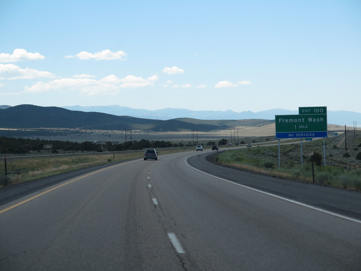
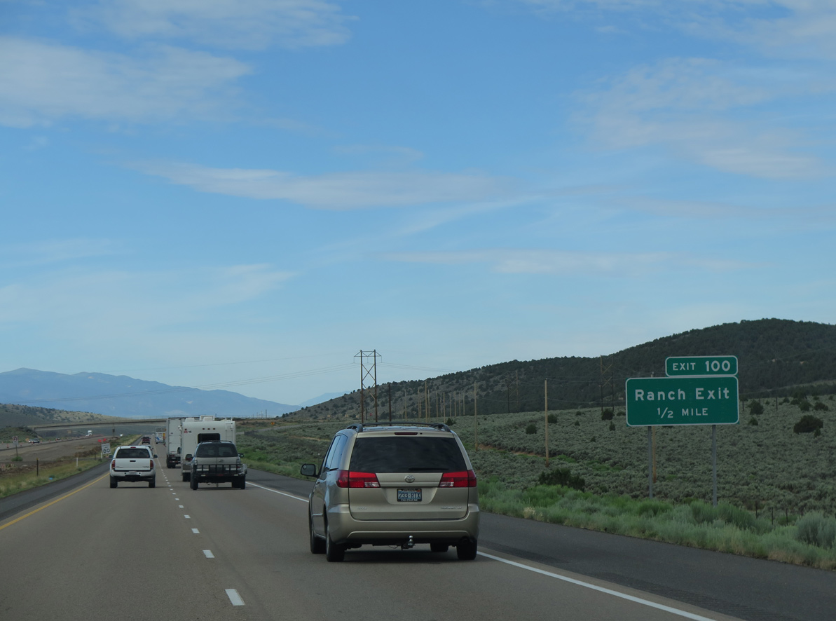
Freemont Road heads east from the ranch exit with I-15 toward Fremont Wash and Fremont Canyon.
08/12/16
08/12/16
07/12/15

08/12/16
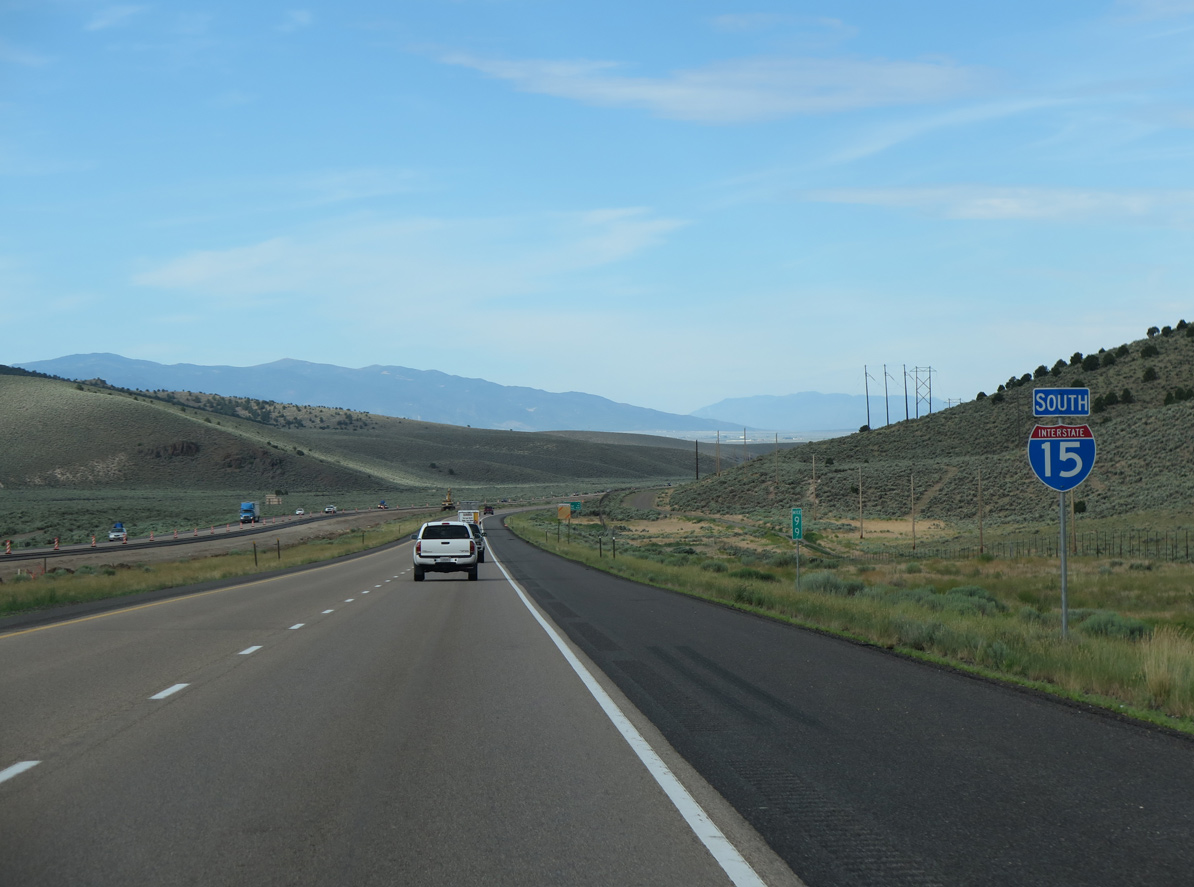
Confirming marker posted south of the diamond interchange at Exit 100.
07/12/15
07/12/15
07/12/15
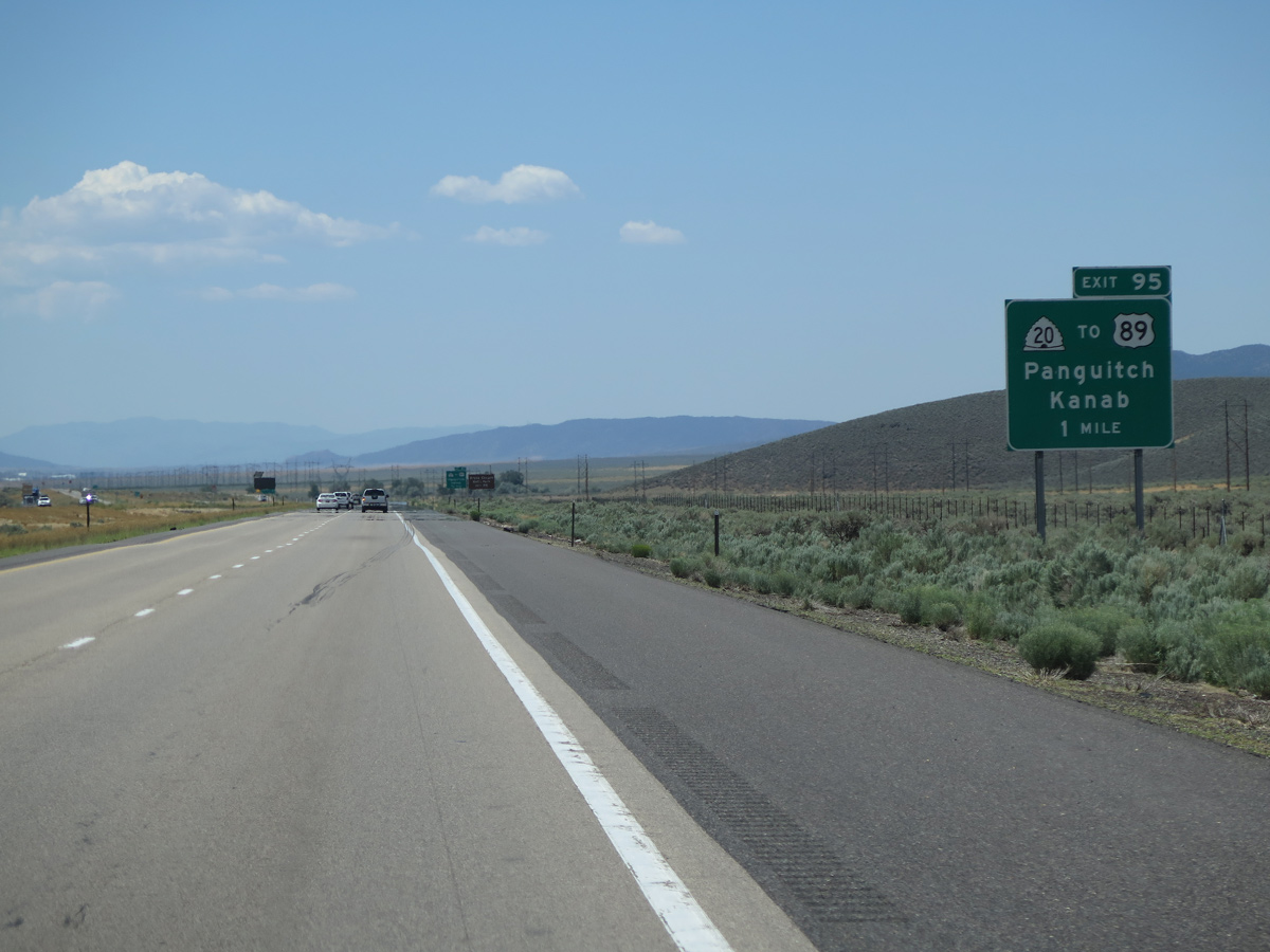
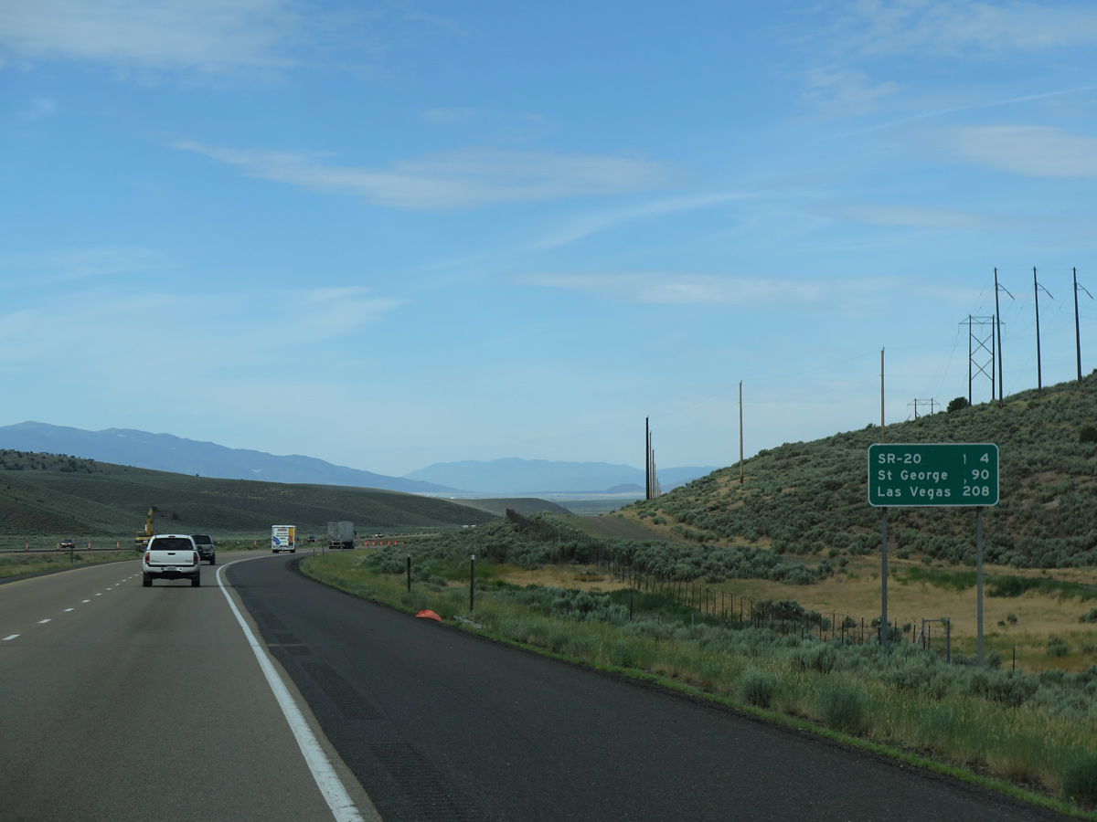
The west end of SR 20 ties into I-15 at Exit 95 and the north end of Parowan Valley. SR 20 is a 20.56 mile long highway east to U.S. 89 at Bear Valley Junction.
08/12/16
08/12/16
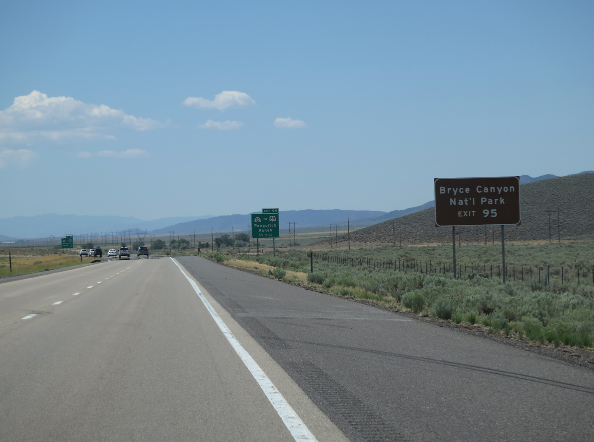
SR 20 east to U.S. 89 provides a more route to some of Southern Utah'ss and northern Arizona's most beautiful parks, including Bryce Canyon, Zion, Grand Staircase-Escalante, and Grand Canyon.
08/12/16
08/12/16
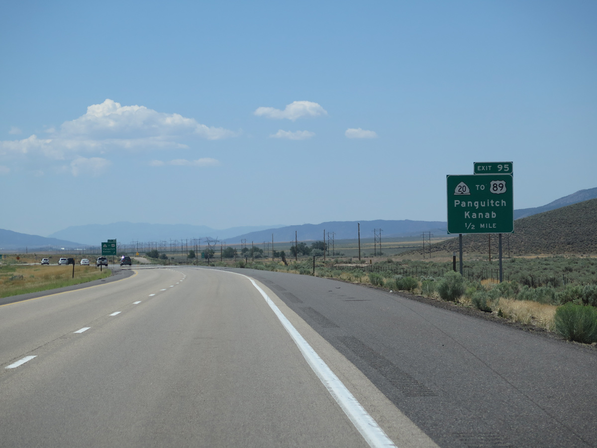
SR 20 crosses the Hurricane Cliffs and Buckskin Valley east to U.S. 89 in Garfield County. SR 20 meets U.S. 89 midway between Panguitch and Circleville.
08/12/16
08/12/16
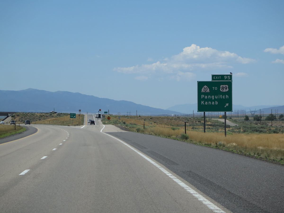
SR 20 east and U.S. 89 south to Kanab is part of a long distance route joining the I-15 corridor with Interstate 17 south from Flagstaff to Phoenix, Arizona.
08/12/16
08/12/16

Photo Credits:
- Andy Field: 07/12/15, 08/12/16
- Brent Ivy: 07/15/17
Page Updated Friday February 18, 2022.