
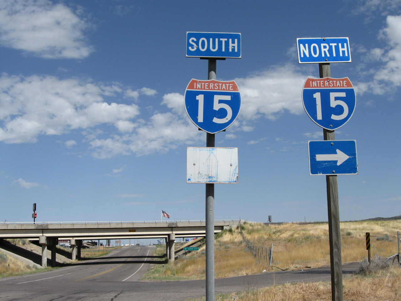
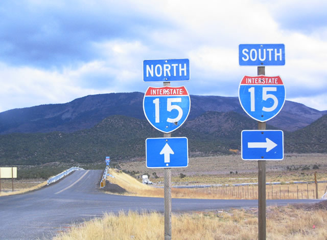
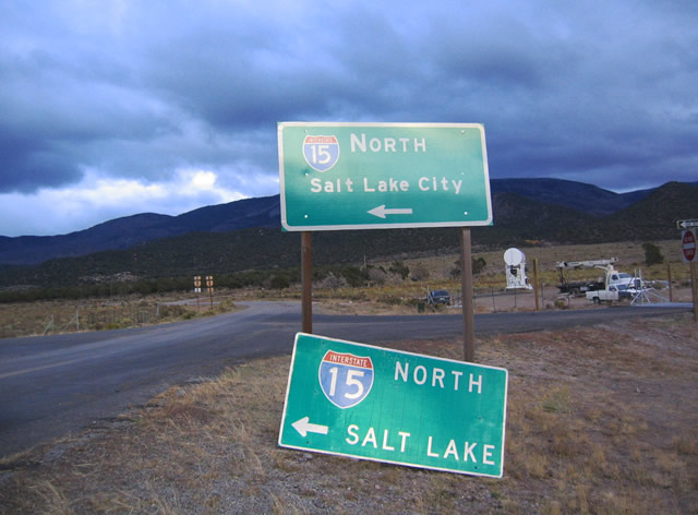
Interstate 15
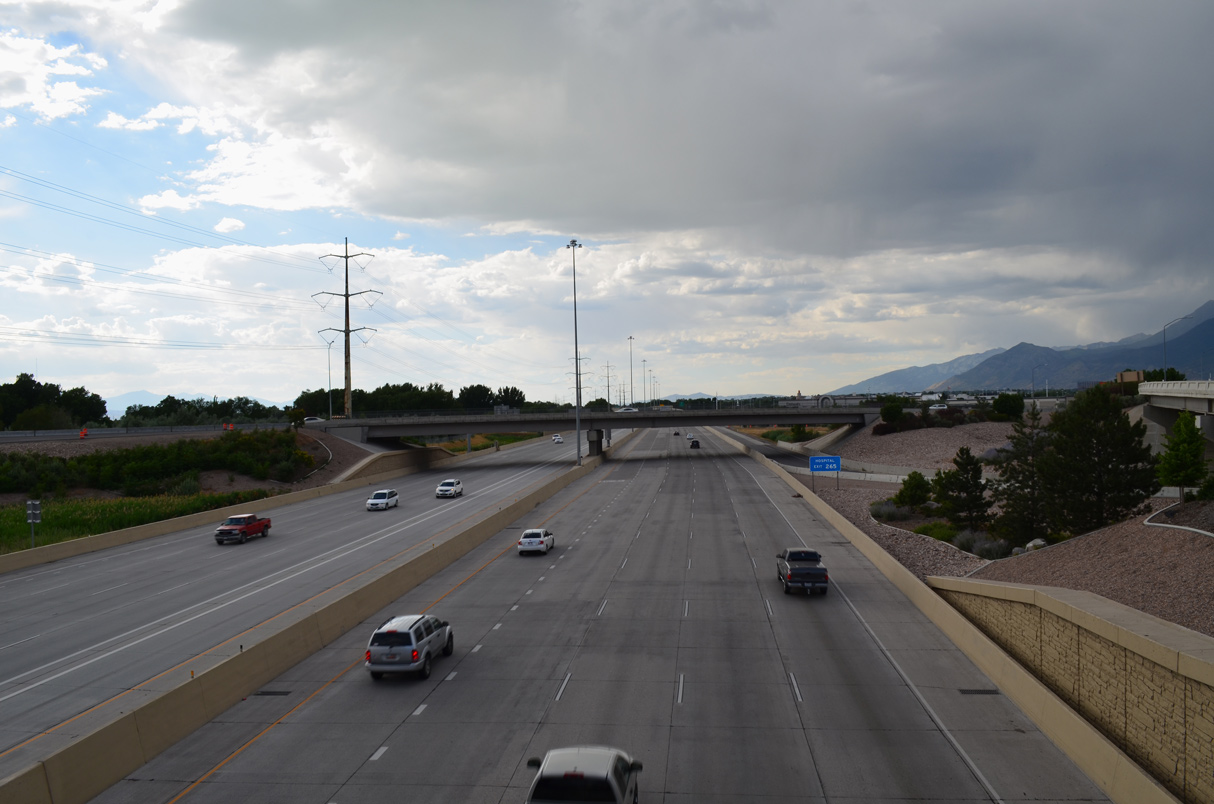
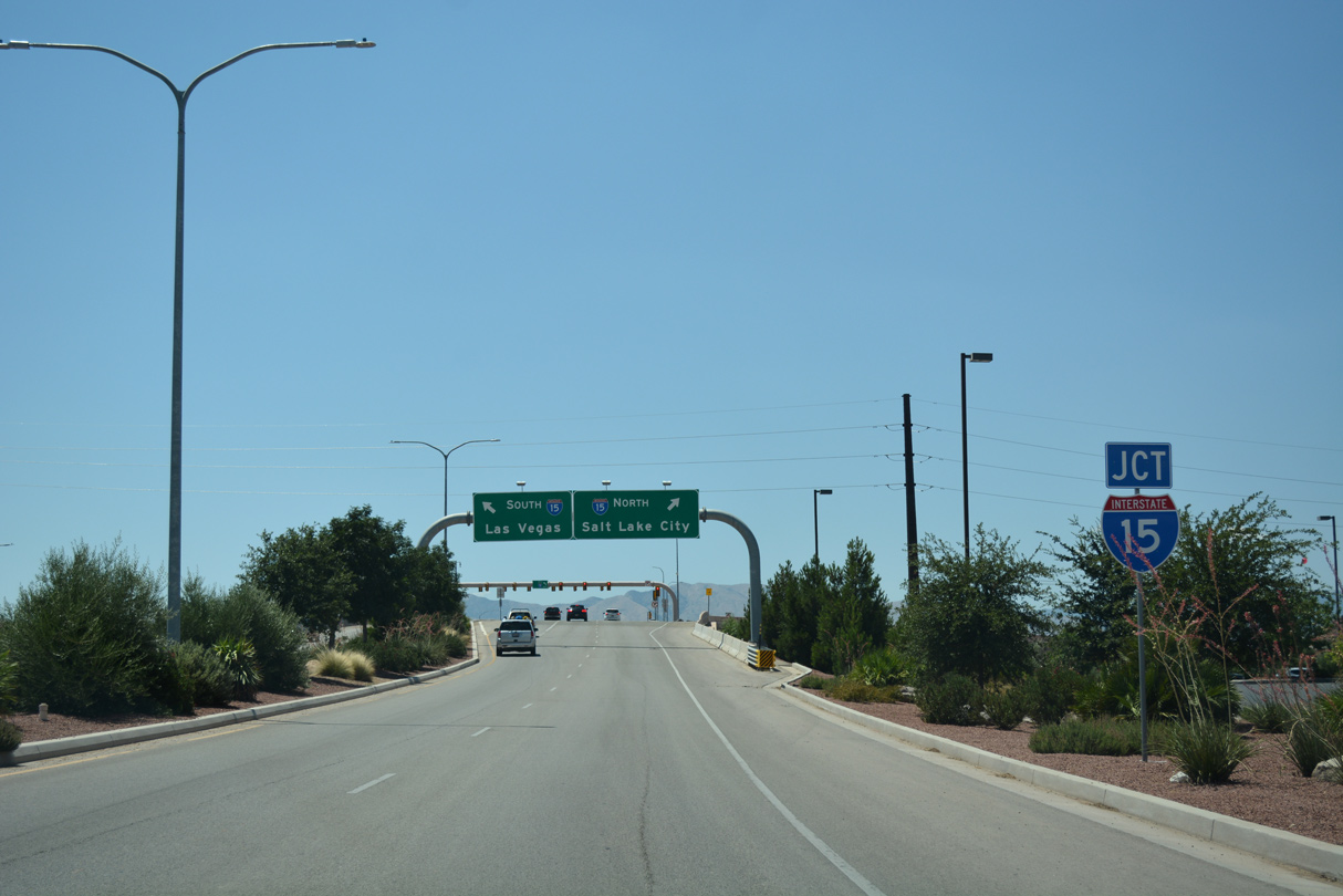
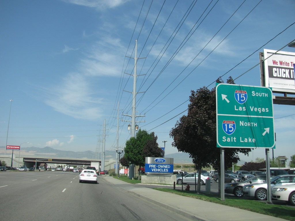
Interstate 15 within the trumpet interchange (Exit 263) at the south end of U.S. 189 (University Avenue) and Lakeview Parkway in Provo, Utah. - 07/04/2016
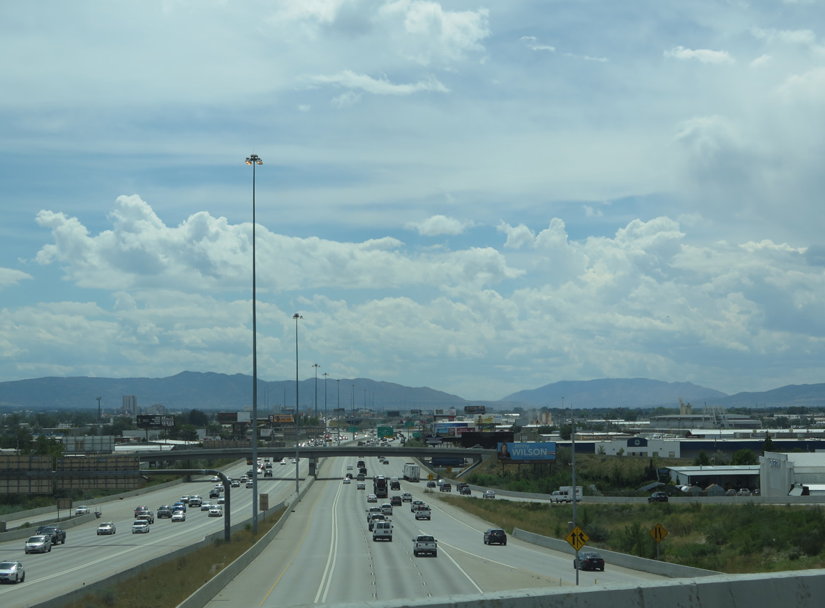
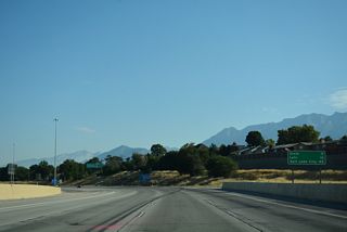
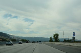
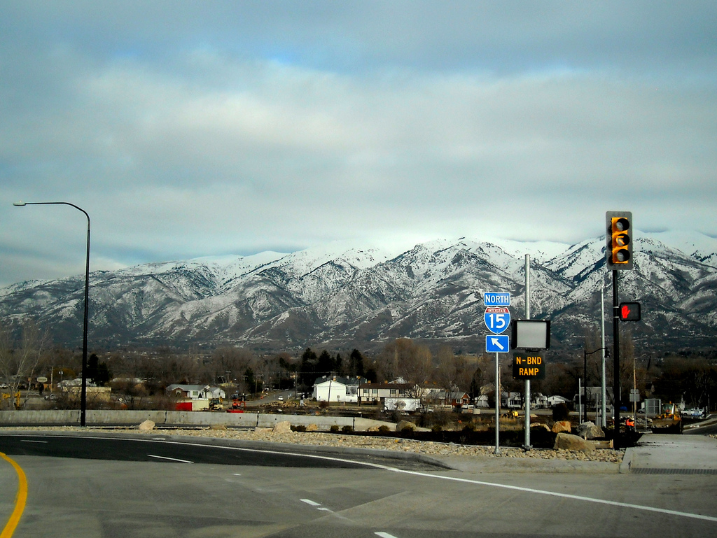
Looking at Interstate 15 and the distant Traverse Mountains from the flyover linking I-80 west with the freeway south in South Salt Lake. - 08/25/2014
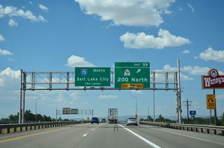
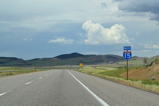
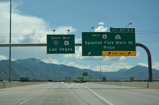
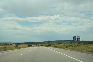
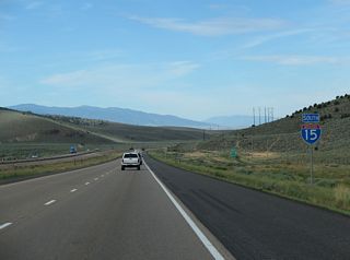
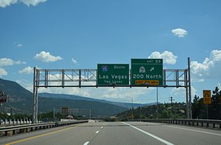
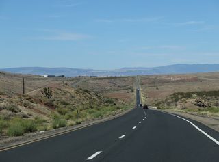
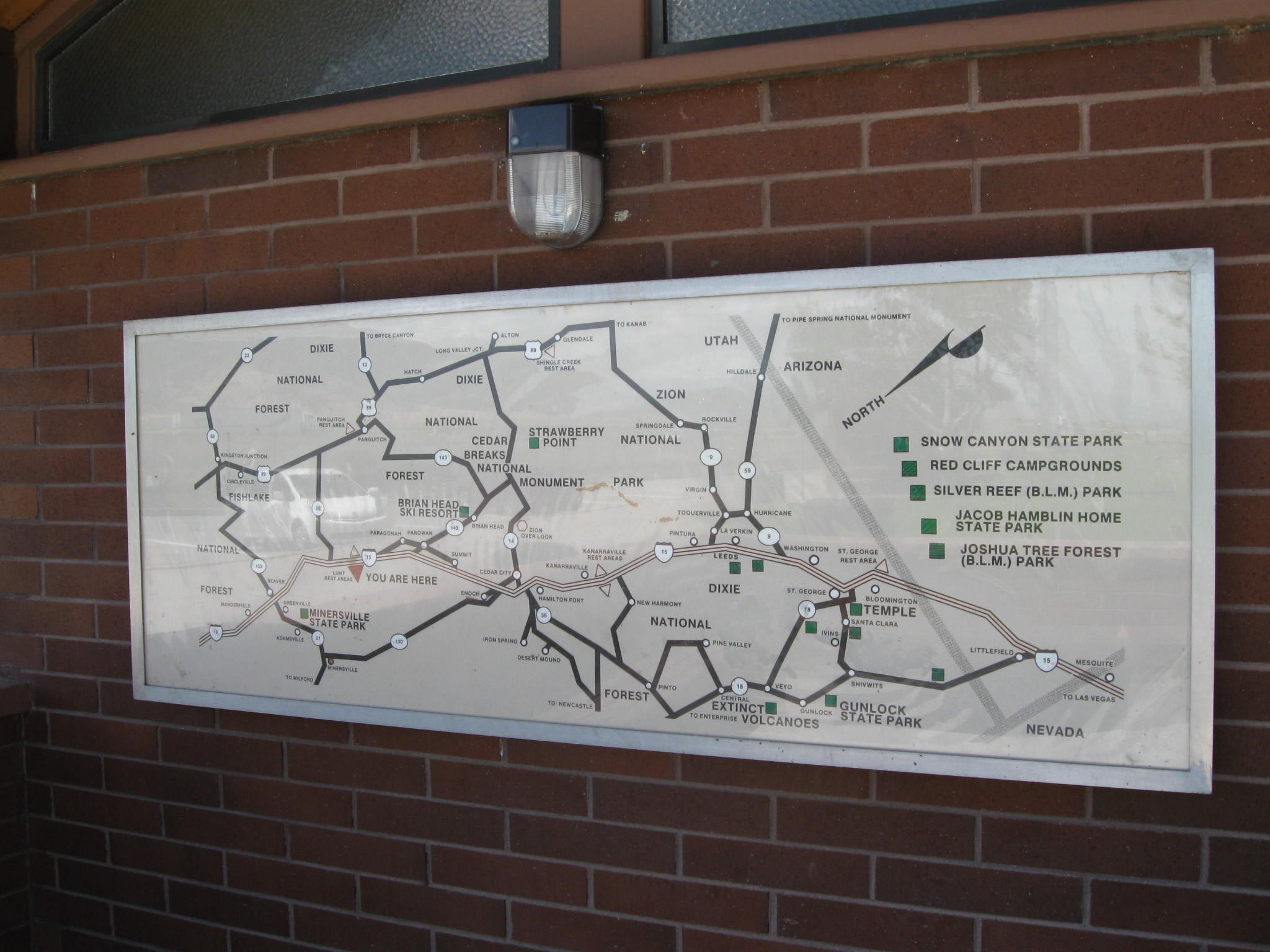
Passing through the heart of the Beehive State, Interstate 15 is a major transportation corridor in Utah and the Intermountain West. Emerging from the north end of the Virgin River Gorge, I-15 immediately enters St. George, then proceeds north to Cedar City, Beaver and Cove Fort, where I-70 east begins. North from there, the rural freeway continues to Nephi, Santaquin and Spanish Fork.
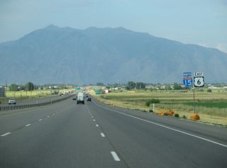
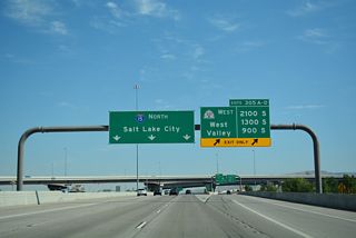
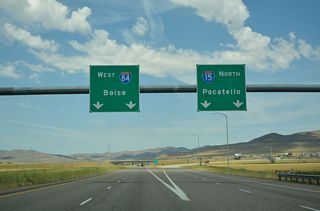
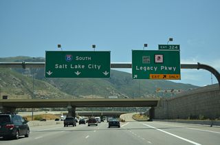
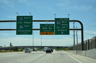
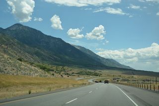
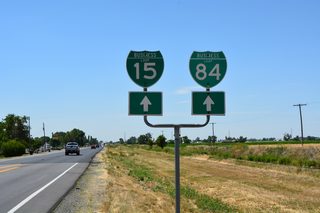
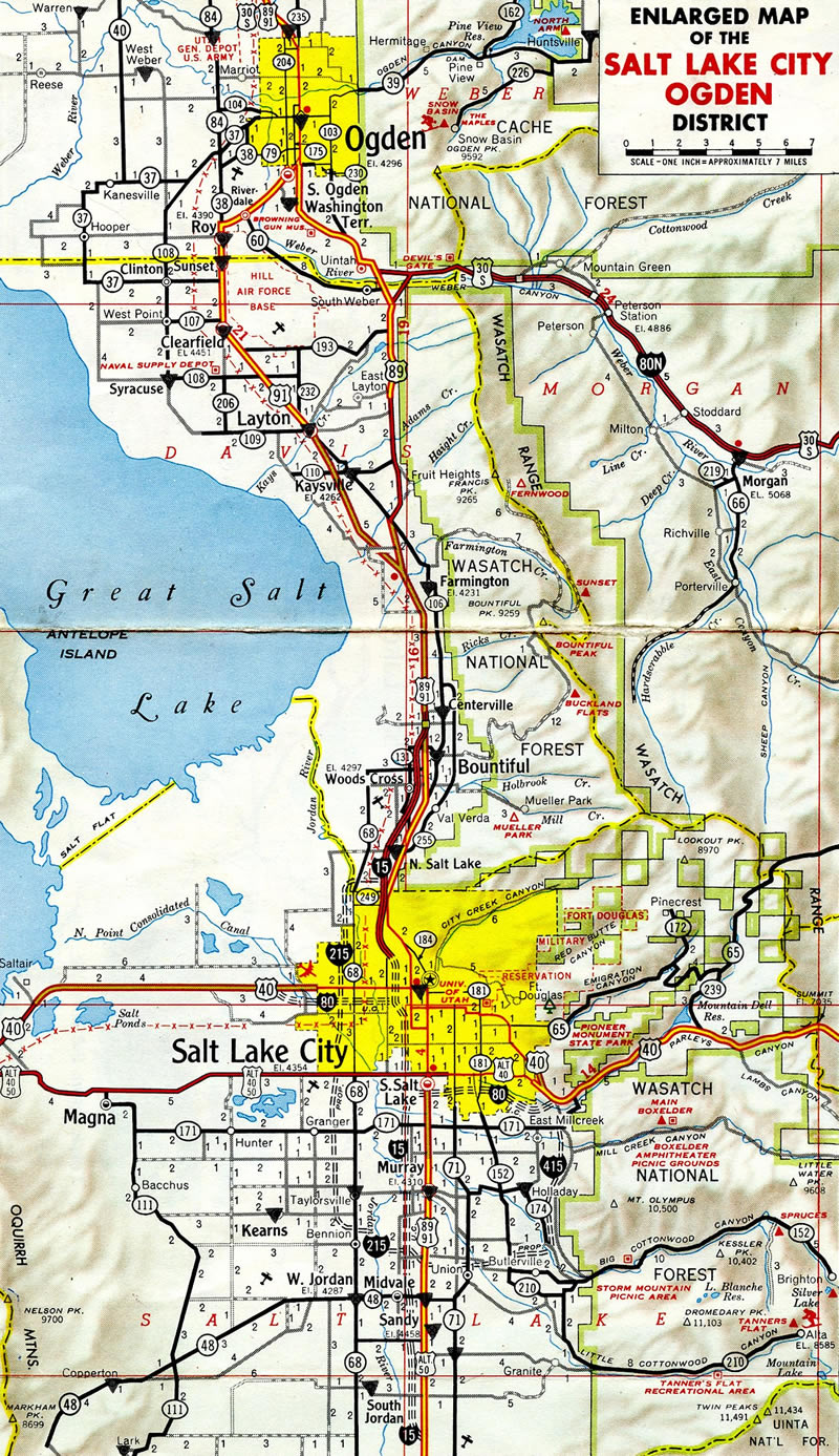
I-15 continues north into the Wasatch Front metropolitan region, connecting Salt Lake City with Provo to the south and Ogden to the north. This includes eight lane stretches and Express toll lanes through Orem, Sandy, Farmington and other suburbs. The freeway stays along the western reaches of the Wasatch Mountain Range from southwest Utah to Great Salt Lake. Beyond Ogden, I-84 combines with I-15 to Brigham City and Tremonton.
Interstate 15 Utah Guides
North
St. George to Toquerville - 69 photos
Kanarraville to Parowan - 73 photos

Beaver to Cove Fort - 73 photos
Cove Fort to Fillmore - 29 photos
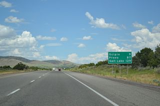
Scipio to Nephi - 38 photos
Santaquin to Springville - 54 photos
Provo to Lehi - 75 photos
Bluffdale to Midvale - 49 photos
Murray to Salt Lake City - 61 photos

North Salt Lake to Farmington - 47 photos
Kaysville to Riverdale - 47 photos
I-15/84 North - Ogden to Tremonton - 77 photos
South
Idaho to Tremonton - 34 photos
I-15/84 South - Tremonton to Ogden - 78 photos
Riverdale to Layton - 50 photos
Farmington to North Salt Lake - 39 photos
Salt Lake City to Murray - 72 photos
Midvale to Lehi - 70 photos
American Fork to Provo - 75 photos
Springville to Santaquin - 57 photos
Nephi to Scipio - 56 photos
Fillmore to Cove Fort - 68 photos
Cove Fort to Beaver - 44 photos
Parowan to Kanarraville - 75 photos
Toquerville to St. George - 75 photos
Business Routes
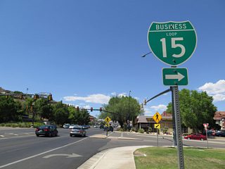
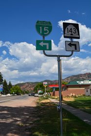
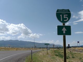
Business Loop I-15 / SR 34 - St. George - 35 photos
Cedar City - 23 photos
Parowan - 35 photos
Beaver - 37 photos
Fillmore - 24 photos
Nephi - 14 photos
Business Loop I-15/84 - Tremonton - 41 photos
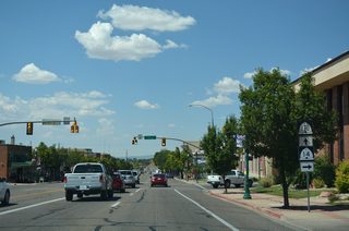
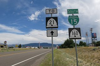
Between St. George and Spanish Fork, Interstate 15 largely replaced U.S. 91. Segments of the historic highway are still in use as business and state routes. Between Spanish Fork and Brigham City, I-15 parallels U.S. 89 and old U.S. 91, with several independent segments of U.S. 89 still routed separately. North of Brigham City, I-15 replaced historic U.S. 191. Once Interstate 15 replaced U.S. 191, that designation was available to be relocated elsewhere (and in 1981, it was reassigned into western Wyoming and eastern Utah).
Just three sections of Interstate 15 were open to traffic by 1969. They included 8.8 miles from North Cedar City to Summit, 6.2 miles from south Beaver to north Beaver, and 9.8 miles from 31st Street in Ogden to Hot Springs. Another 31.1 miles of the freeway were under construction in 1969. This included portions north of Cedar City and between Ogden and Brigham City.1
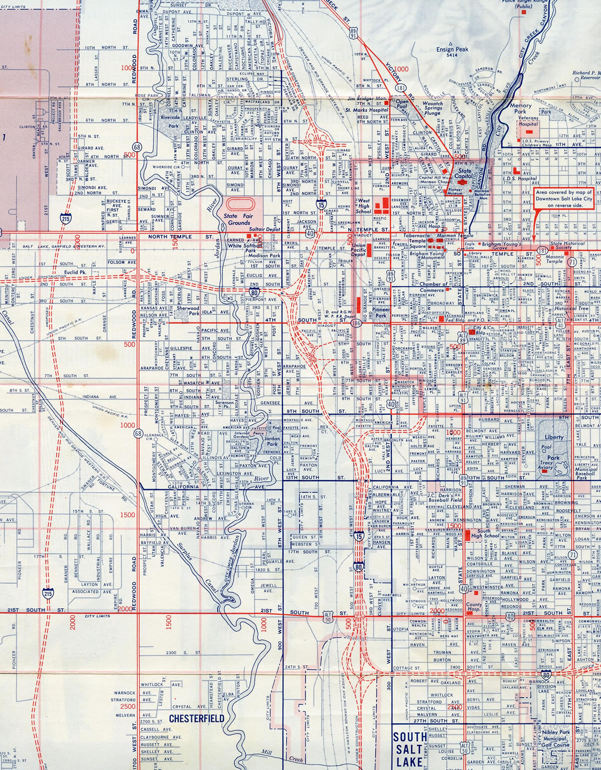
The original layout of I-15 and I-80 through central Salt Lake City in 1963. 17 miles of Interstate 15 through the Salt Lake City area were rebuilt during a $1.59 billion reconstruction project between April 1997 and May 2001.
Interstate 15 was open in 1964 from 900 West / 1000 North in Salt Lake City to the present day merge with U.S. 89 (500 West) at Bountiful.
268.88 miles of I-15 in the Beehive State were open to traffic by 1974. Construction schedules then extended to 1983, with the 6.9 mile segment between the Sevier River and Mills Junction the last projected.2
Concerns from local leaders and citizens however led to a number of hearings on the final proposals for Interstate 15, delaying completion of the route until November 20, 1990. Hearings focused on potential impacts to prime agricultural land, related effects on local tax bases and the exact route I-15 would follow. Costing $37 million, the final 26 mile section of the Utah Interstate system to be built, opened after a formal ceremony in Riverside.3
Interstate 15 markers posted on Business Loop I-15/SR 99 northbound at Fillmore in central Utah. - 08/20/2011
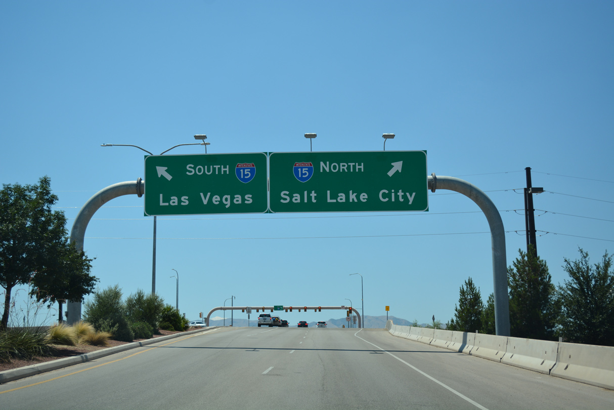
Dixie Drive west at the SPUI (Exit 5) with Interstate 15 in St. George.
07/15/17
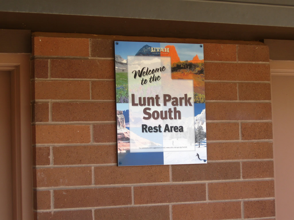
The Lunt Park South Rest Area along Interstate 15 southbound.
08/20/11
Interstate 15 shields posted at the ranch exit west of old U.S. 91 and Sulphurdale. This assembly was removed by 2014.
10/18/04
Sign replacement for Interstate 15 at Exit 129, west of the Tushar Mountains. Utah, like the state of Wyoming, places wooden shields and signs along their roadways.
10/18/04
A new guide sign installed for the northbound on-ramp to I-15 from Pine Creek Highway near Sulphurdale. Old U.S. 91 parallels the freeway just to the east from here.
10/18/04
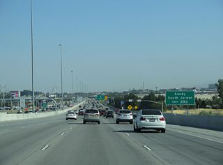
Westbound SR 209 (9000 South) approaches the SPUI with Interstate 15 in the city of Sandy. I-15 constitutes a busy commuter freeway north to Salt Lake City and south to Orem and Provo.
05/16/12
Layton Parkway east at the single point urban interchange with Interstate 15.
01/21/11
References:
- "105 Miles Planned For Utah's Interstate." The Deseret News, January 11, 1969.
- "Rough going for interstate." The Deseret News, May 16, 1974.
- "Wintry slush fails to dampen spirits at opening of last stretch of interstate." The Deseret News, November 21, 1990.
Photo Credits:
- Brent Ivy: 07/15/17
- Andy Field: 08/20/11
- AARoads: 10/18/04
- Steve Hanudel, Erik Slotboom: 05/16/12
- Garrett Smith: 01/21/11
Connect with:
Page Updated Saturday February 19, 2022.