
Interstate 15 South - Arizona to Garnet
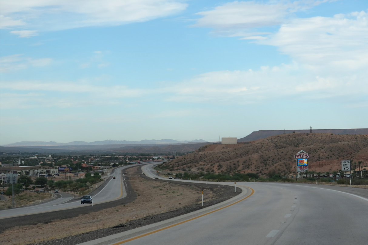
Interstate 15 south enters the Mesquite city limits, Clark County and the Silver State just north of Hillside Drive (Old U.S. 91).
10/23/25
10/23/25
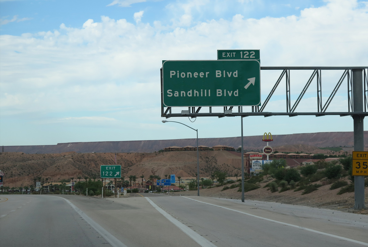
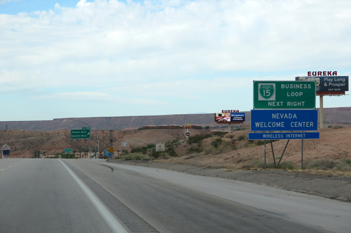
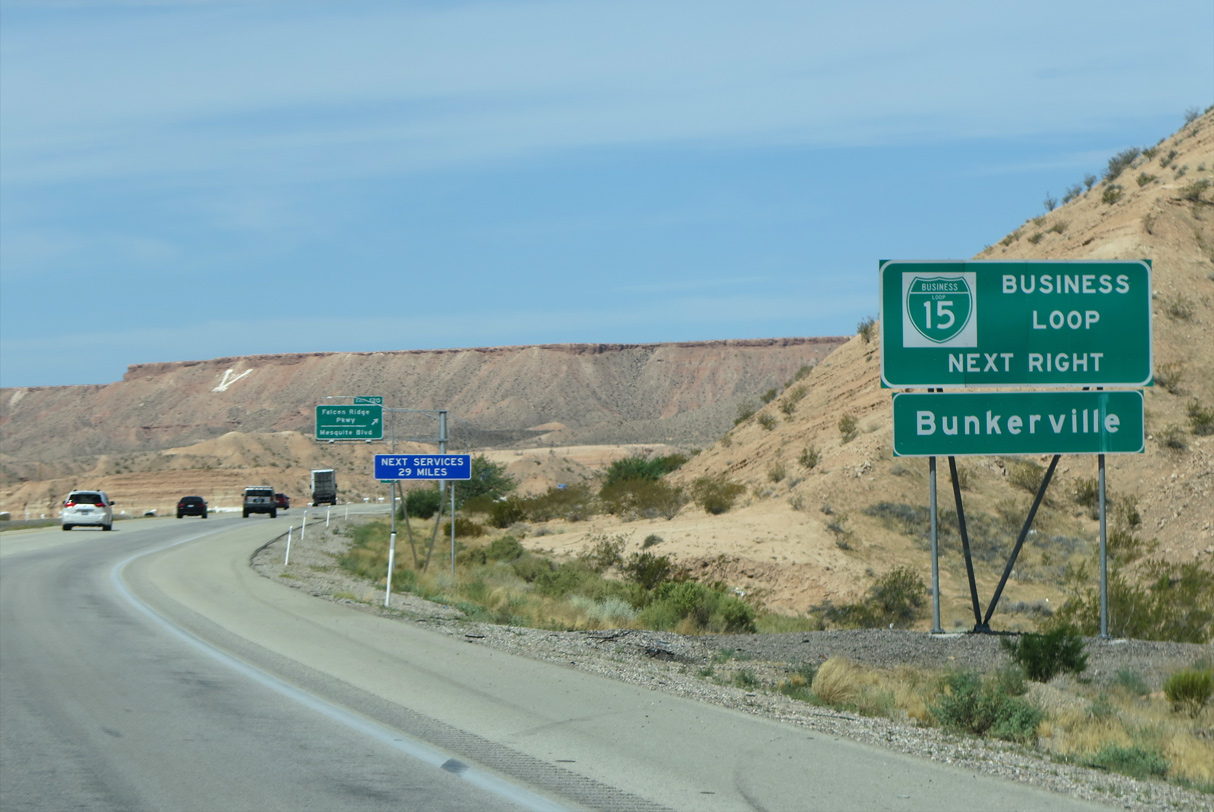
Business Loop I-15 follows Sandhill Boulevard south from the diamond interchange at Exit 122. The route makes an unmarked turn onto Mesquite Boulevard west through the Mesquite business district.
10/23/25
10/23/25
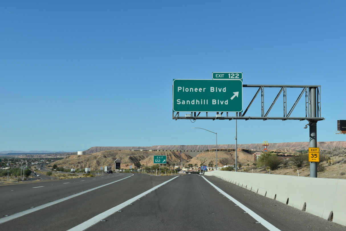
Sandhill Boulevard extends south from Exit 122 to W Mesquite Boulevard while Pioneer Boulevard runs parallel to I-15 west to Lower Flat Top Drive.
10/23/25
10/23/25
08/26/14
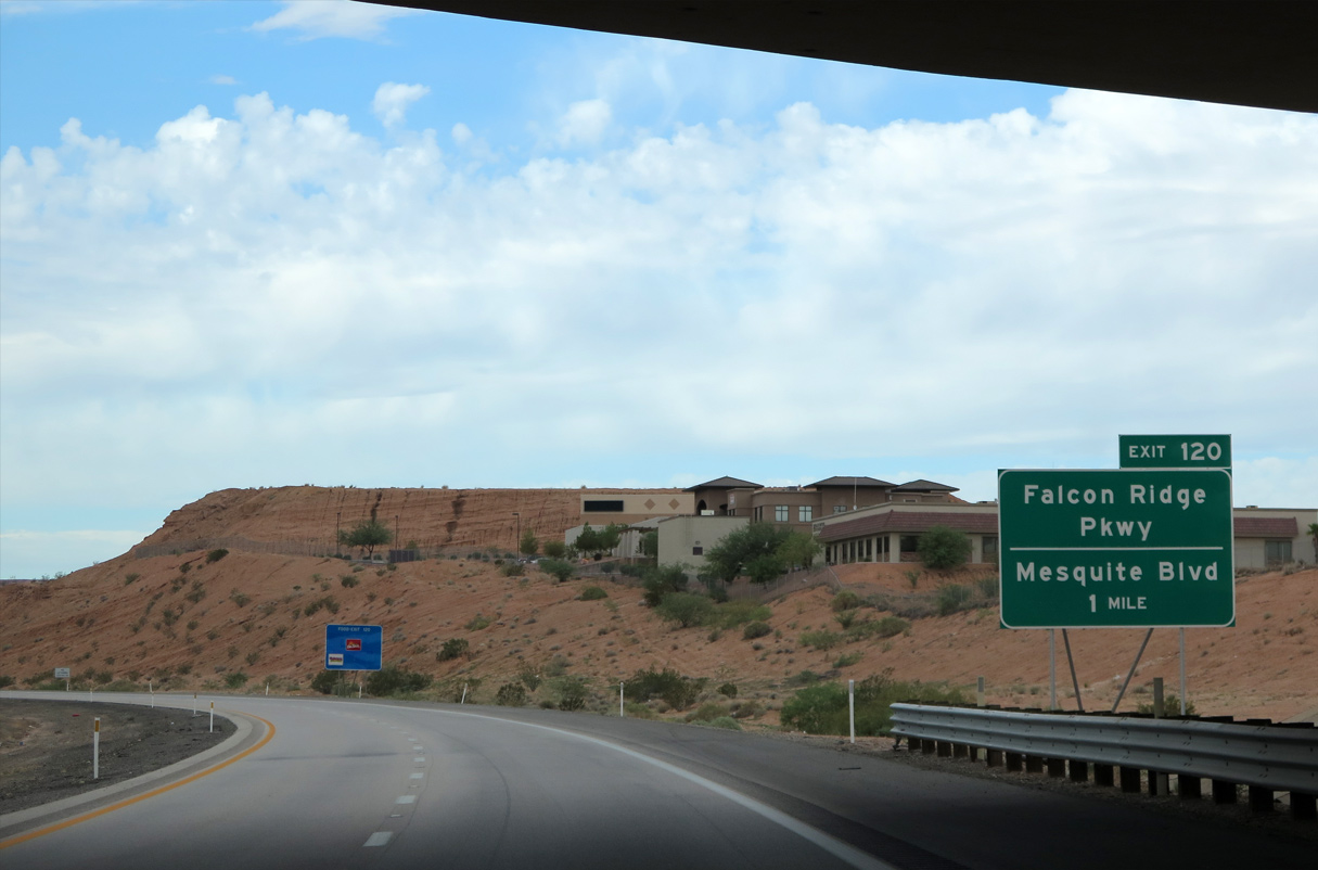
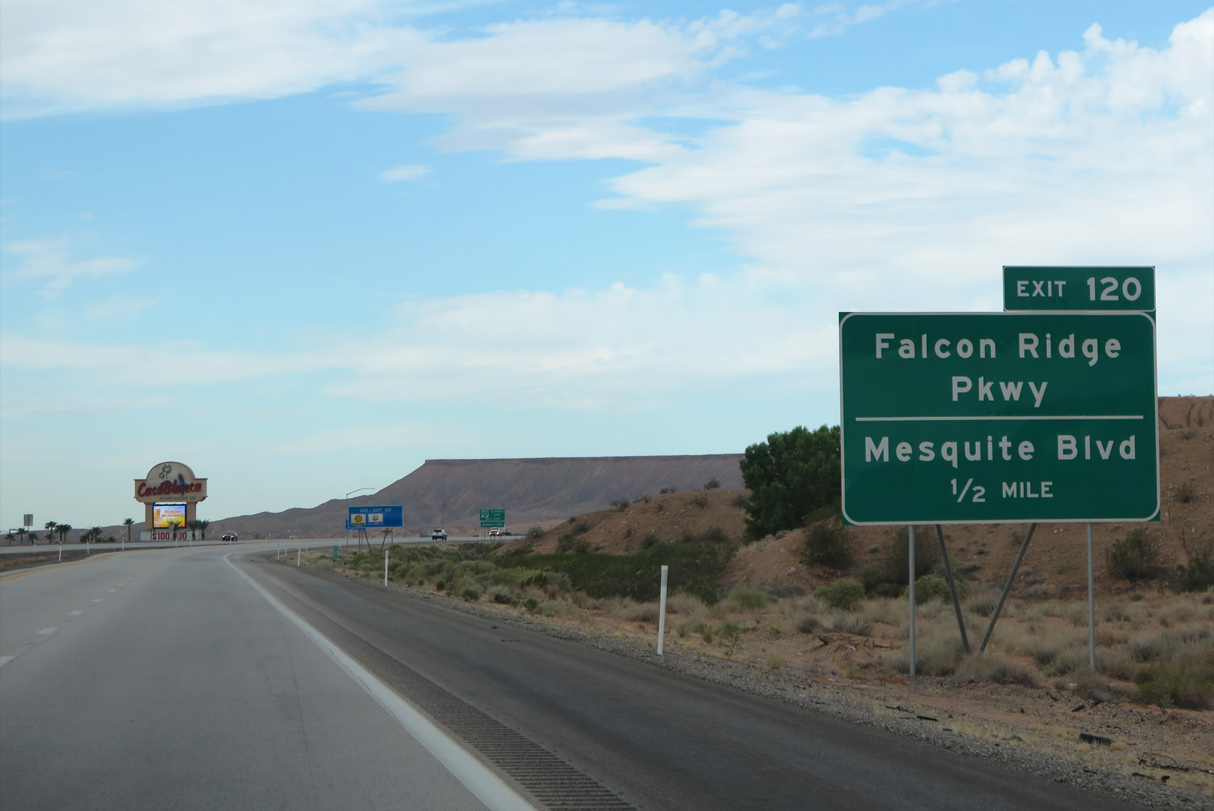
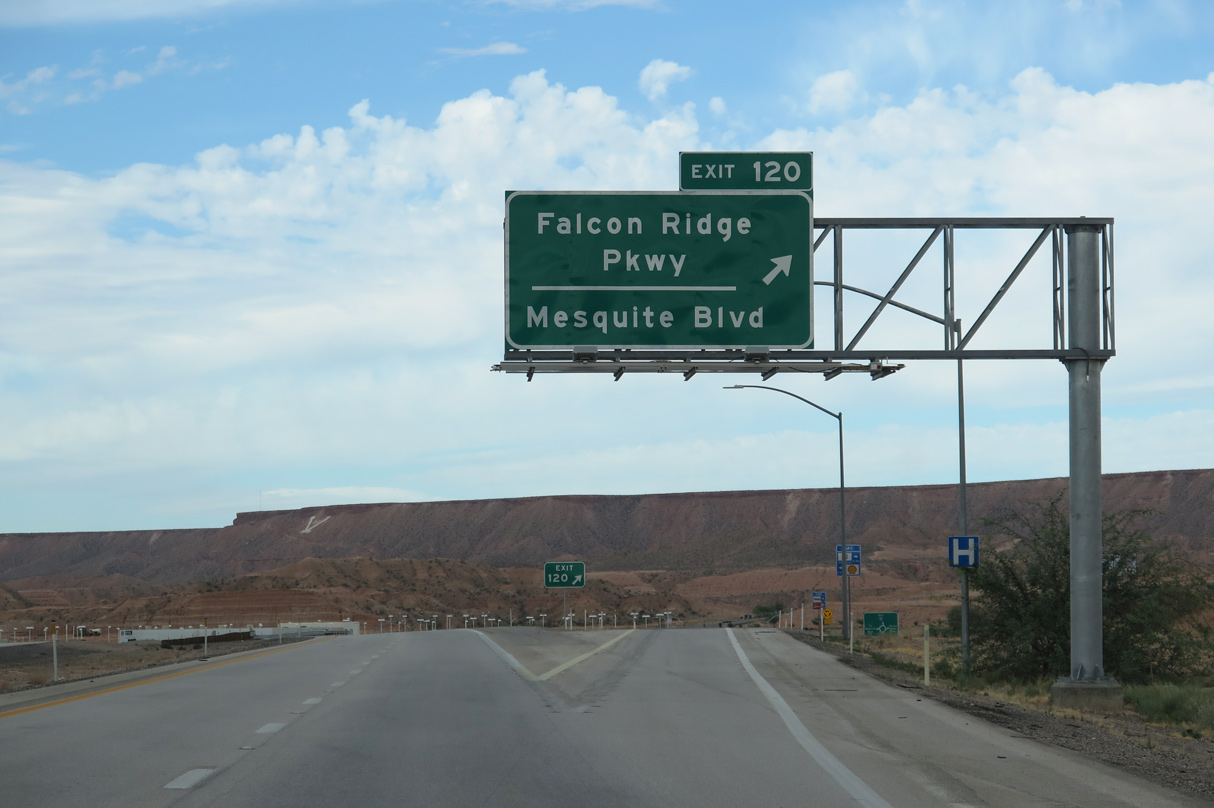
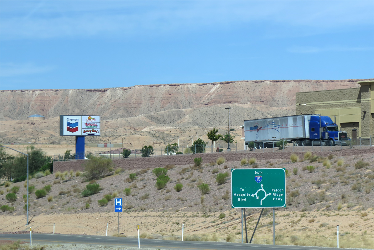
I-15 passes under N Grapevine Road one mile ahead of W Mesquite Boulevard and Falcon Ridge Parkway (Exit 120).
08/26/14
08/26/14
08/26/14
The locally maintained business loop follows W Mesquite Boulevard from downtown to the exchange with I-15 ahead.
07/12/15
07/12/15
08/26/14
07/12/15
Interstate 15 advances southwest to Lower Flat Top Drive (Exit 118) next. Exit 118 opened to traffic July 2016.
07/12/15
07/12/15
07/12/15
08/26/14

07/12/15

SR 170 ties into Interstate 15 one mile ahead at a diamond interchange (Exit 112).
07/12/15
07/12/15
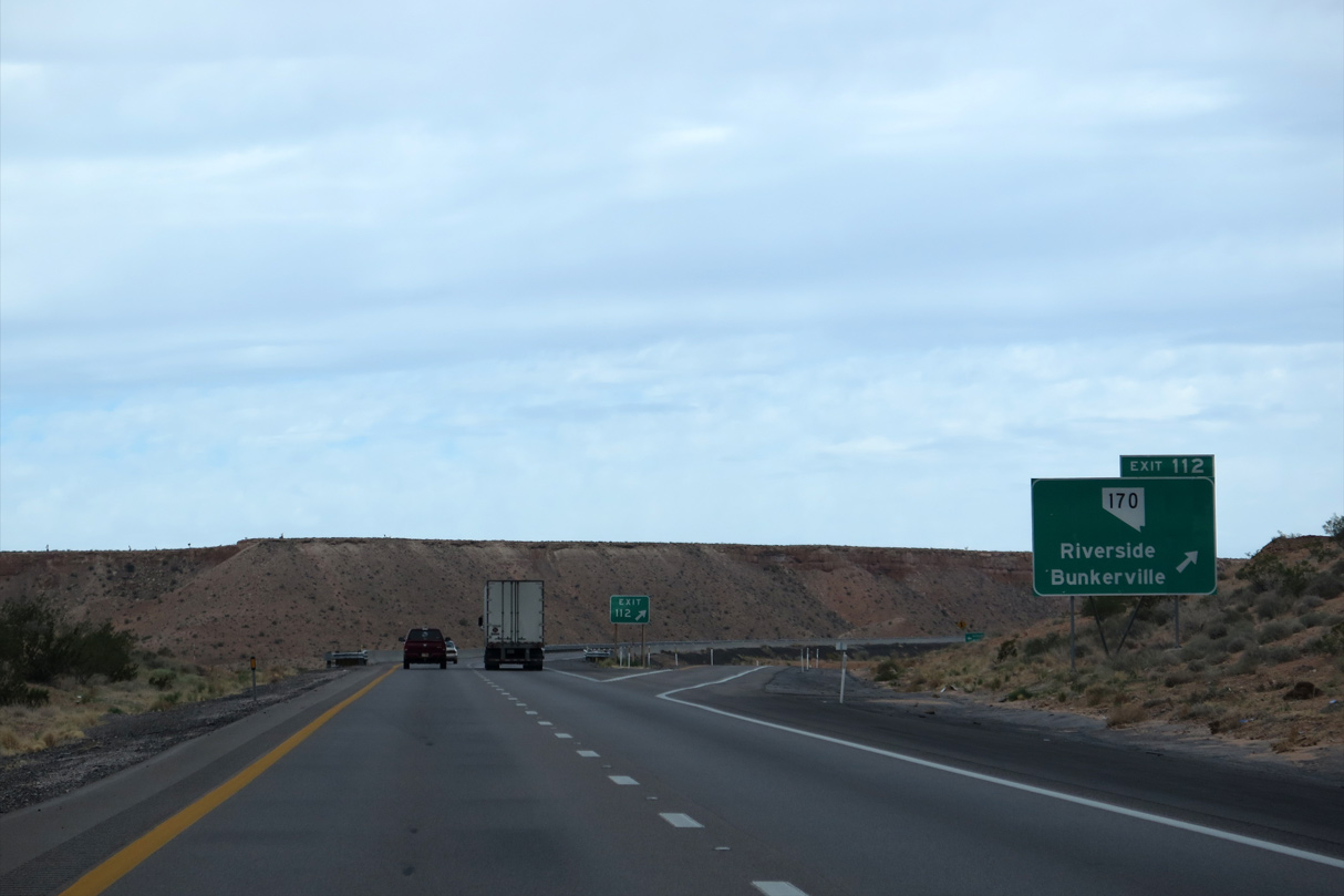
The state route loops back east to Bunkerville and Mesquite along a 11.405 mile long course.
08/26/14
08/26/14
10/23/25
10/23/25
10/23/25
10/23/25
10/23/25
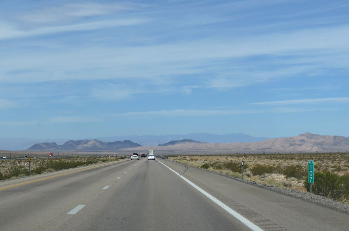
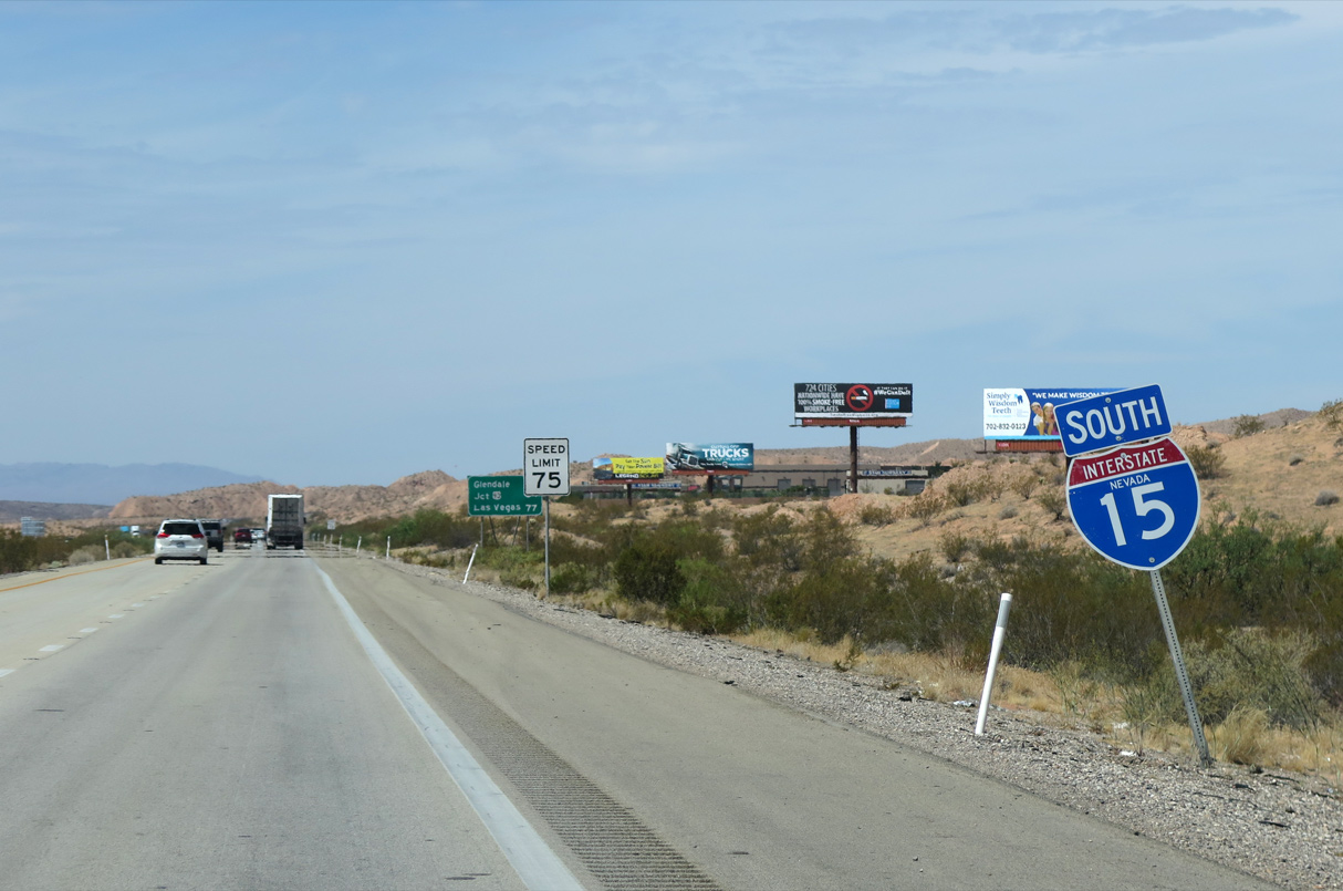
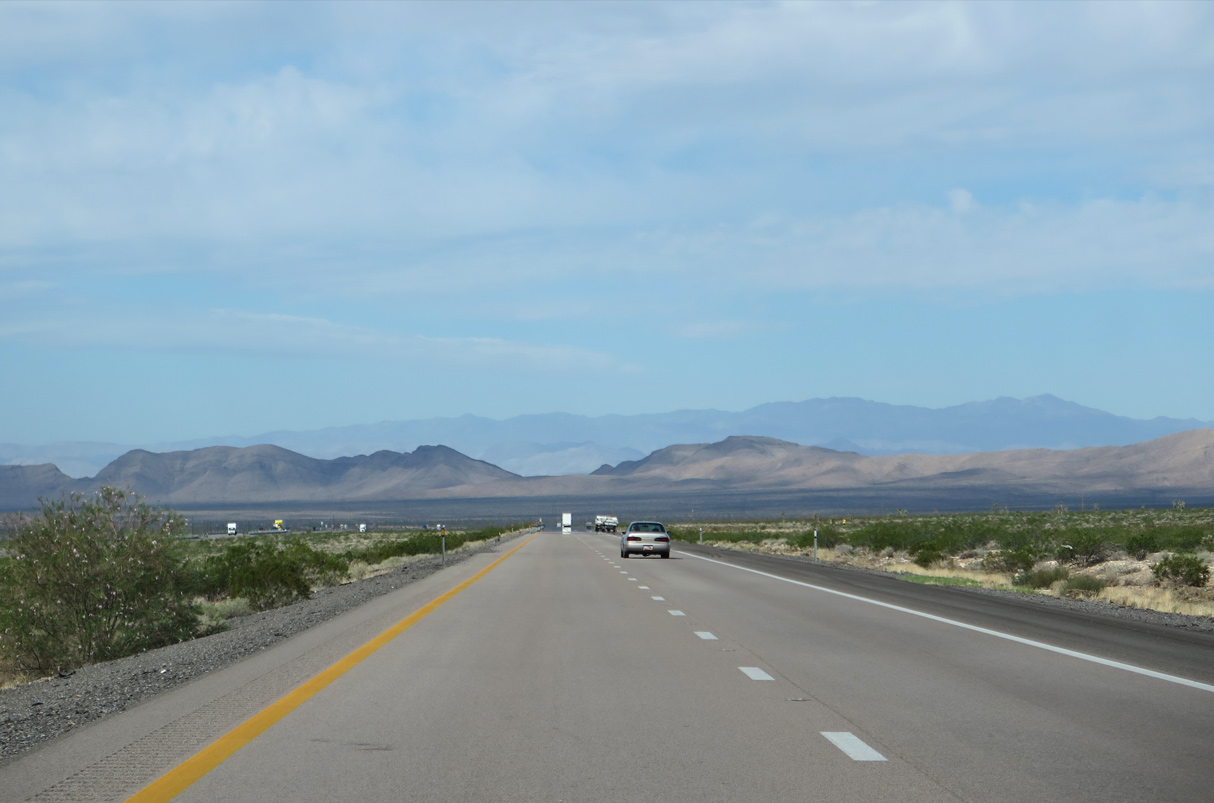
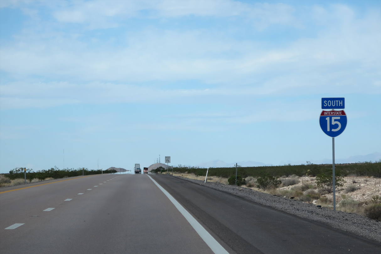
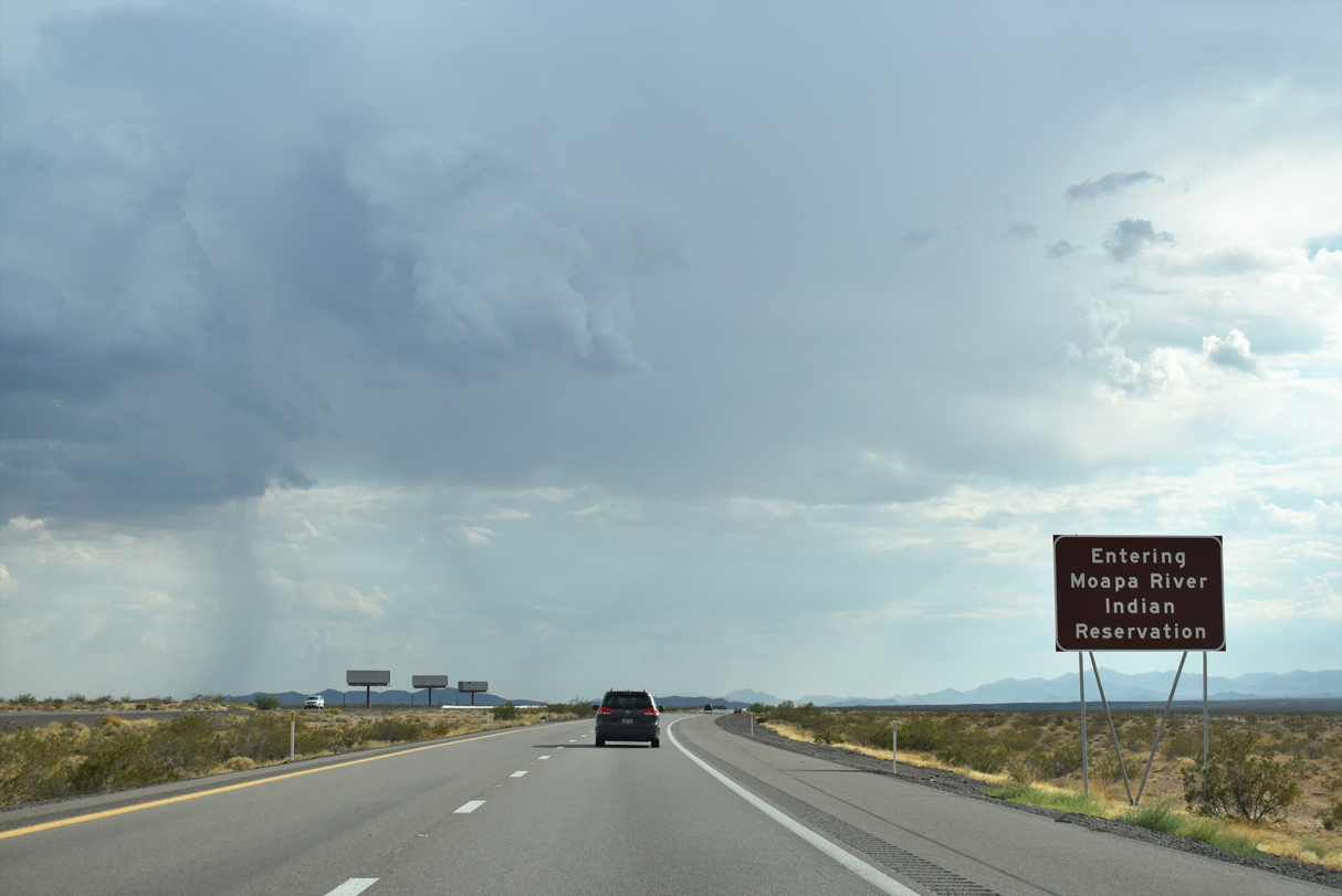
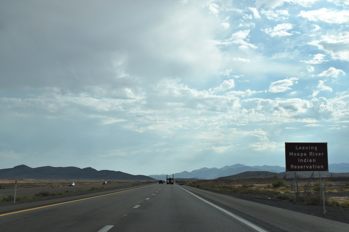
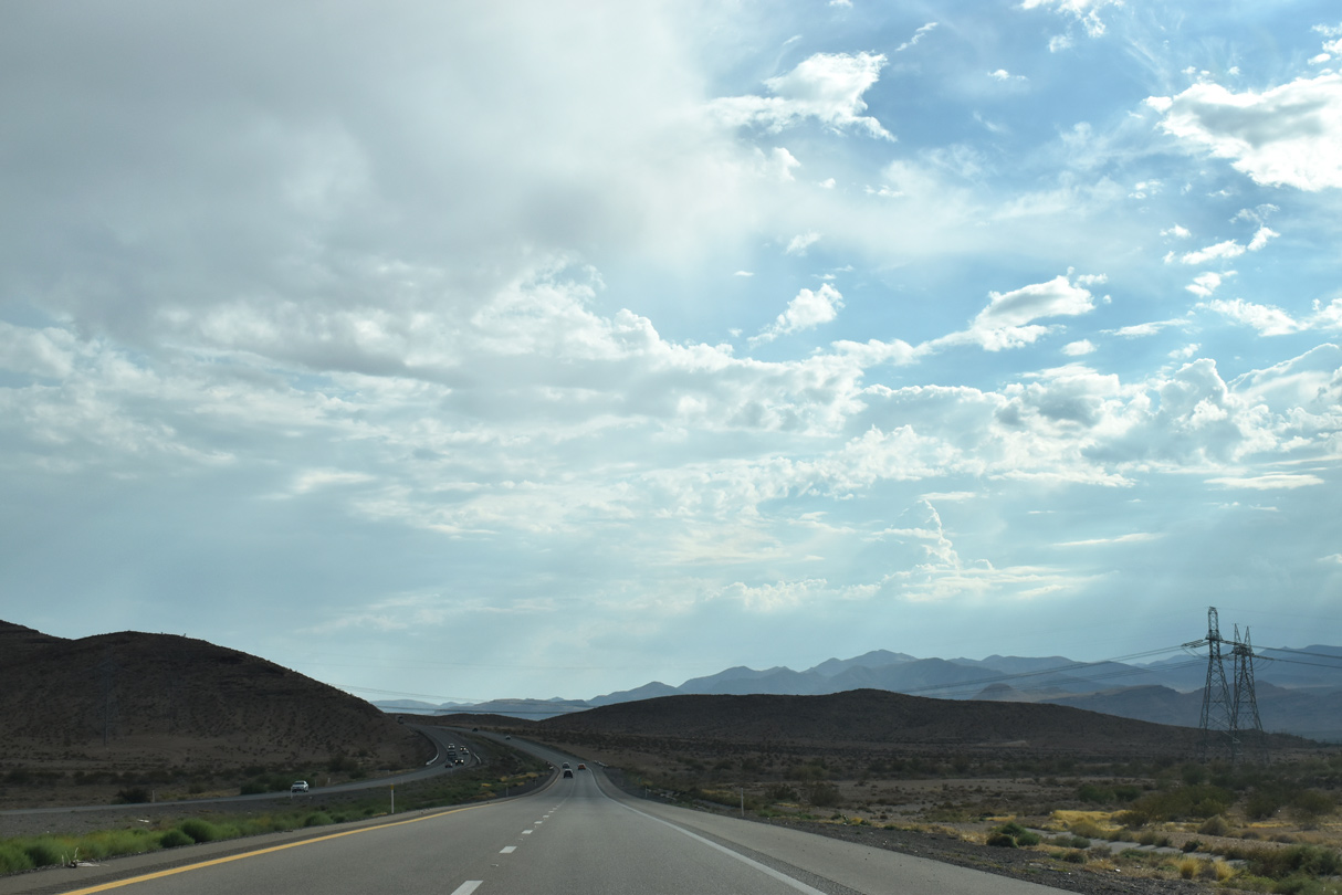
Interstate 15 continues toward the western Mormon Mountains 107 miles from the California state line.
07/12/15
07/12/15
08/26/14
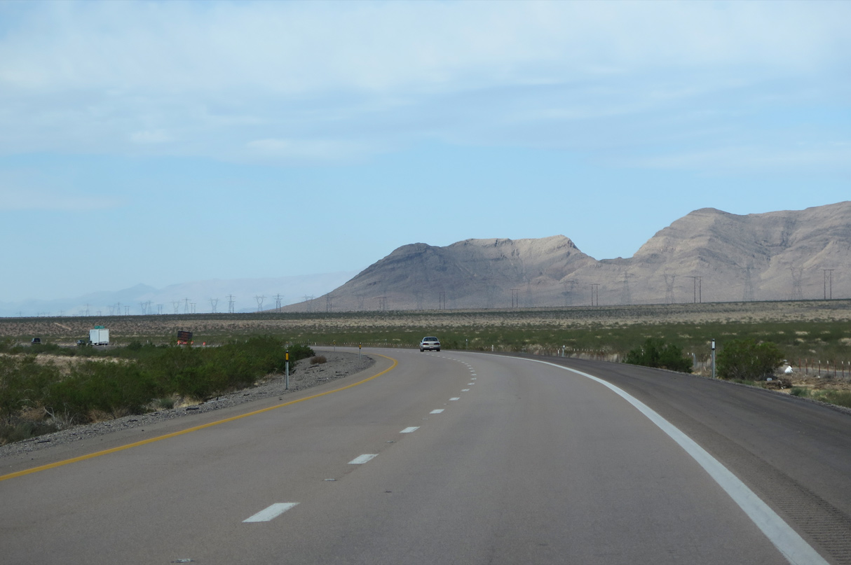
Joshua trees populate Mormon Mesa to the north of Interstate 15 and south of Moapa Peak and the Mormon Mountains.
10/23/25
10/23/25
10/23/25
10/23/25
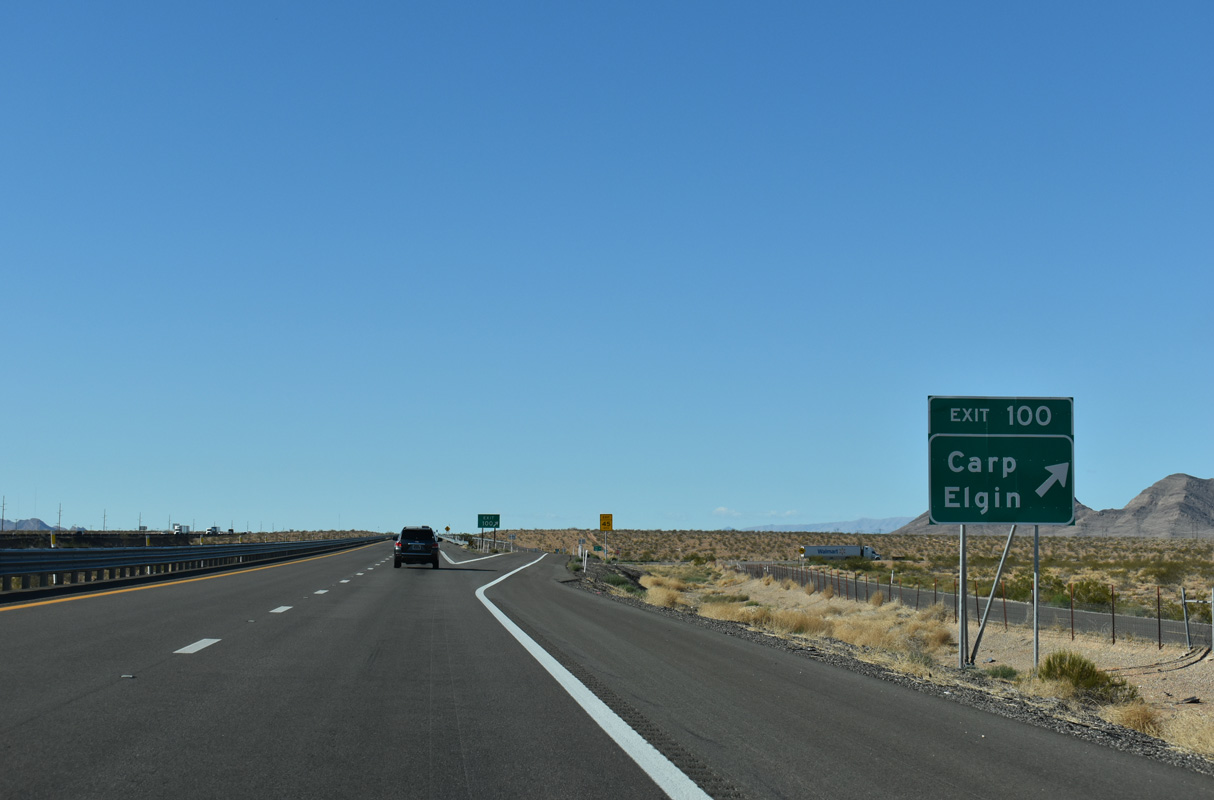
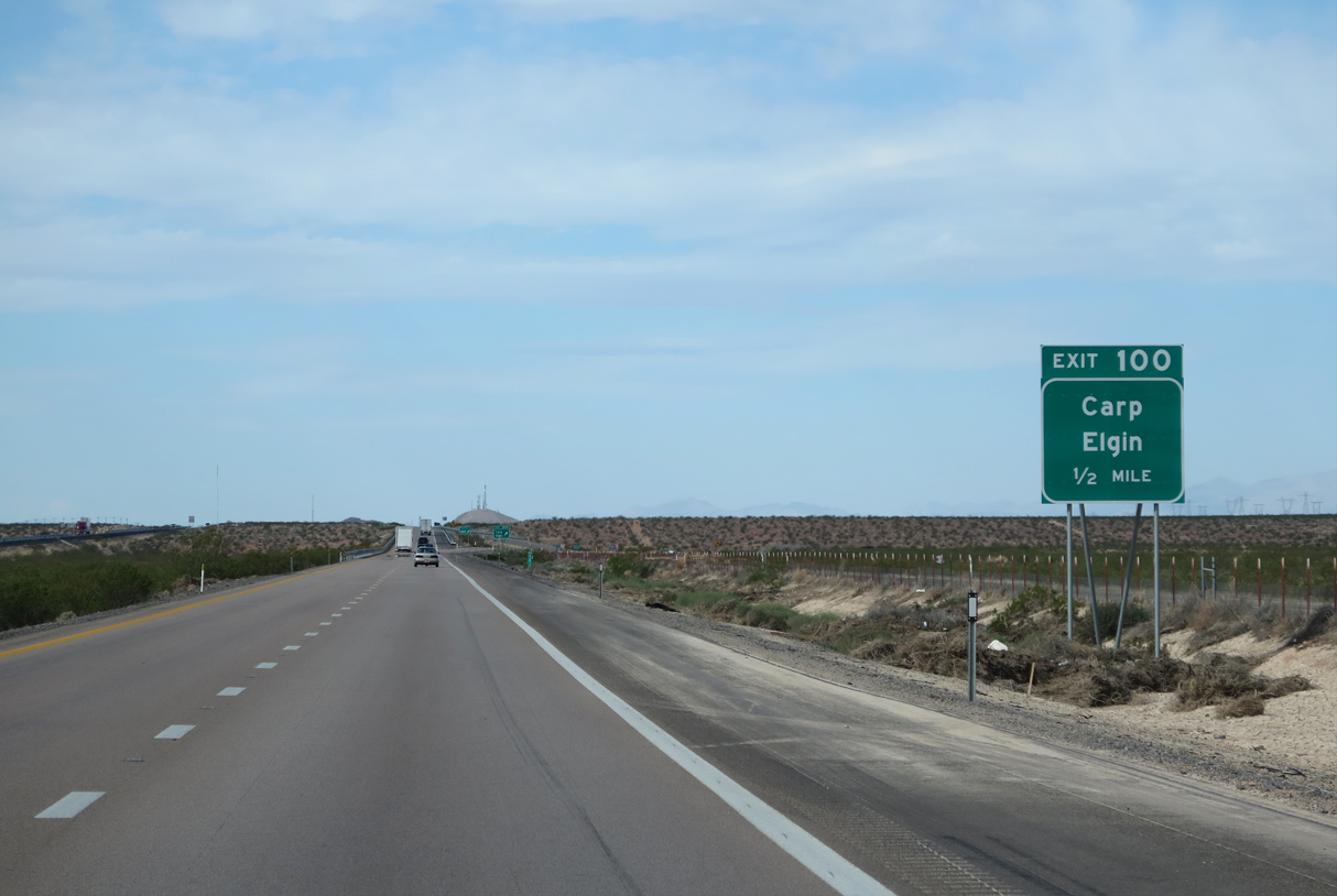
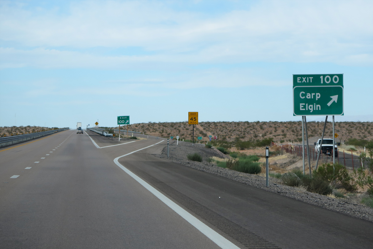
Carp Elgin Road extends north from Exit 100 across ranch lands and the Mormon Mountains into Lincoln County.
10/23/25
10/23/25
10/23/25

10/23/25
10/23/25
10/23/25
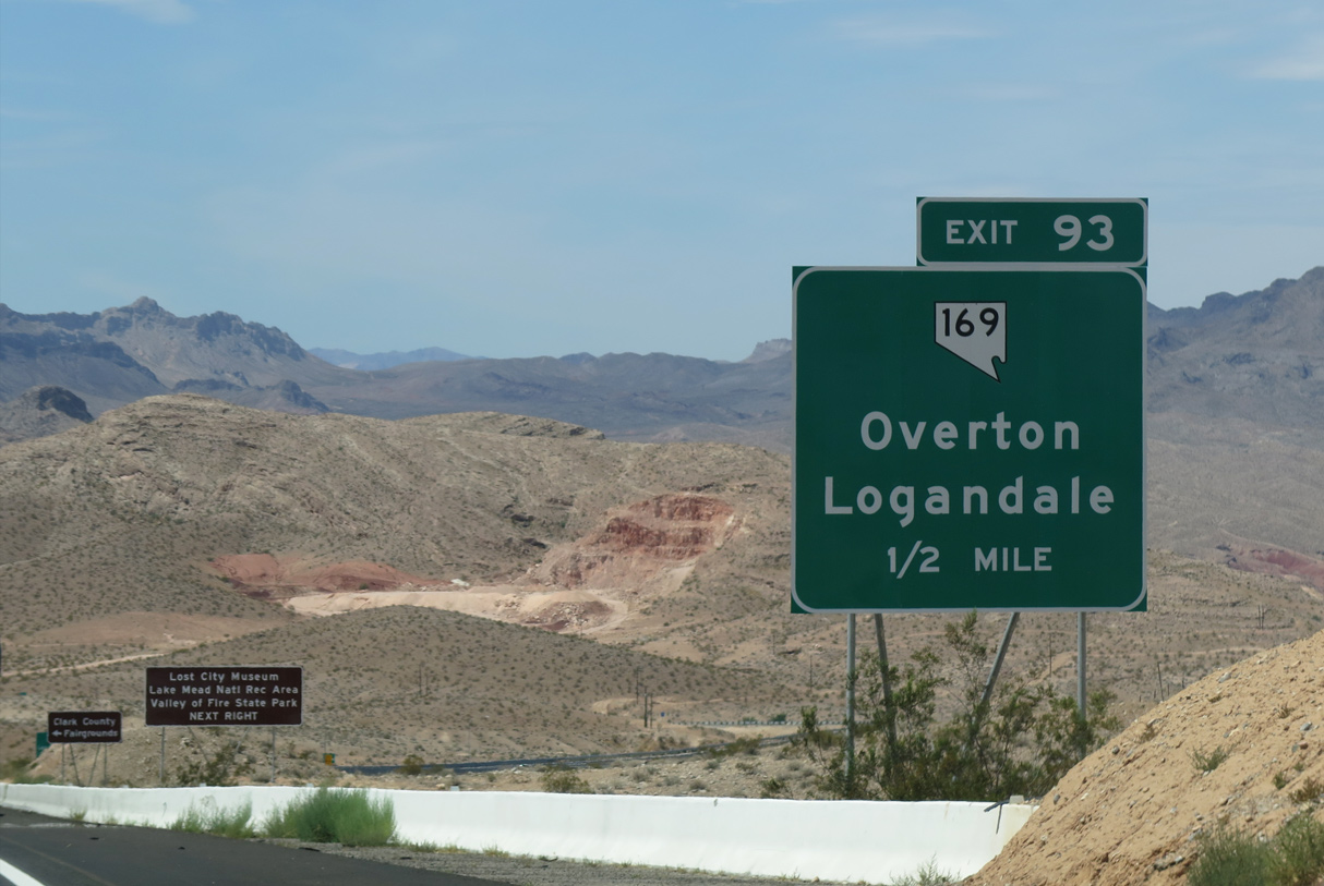
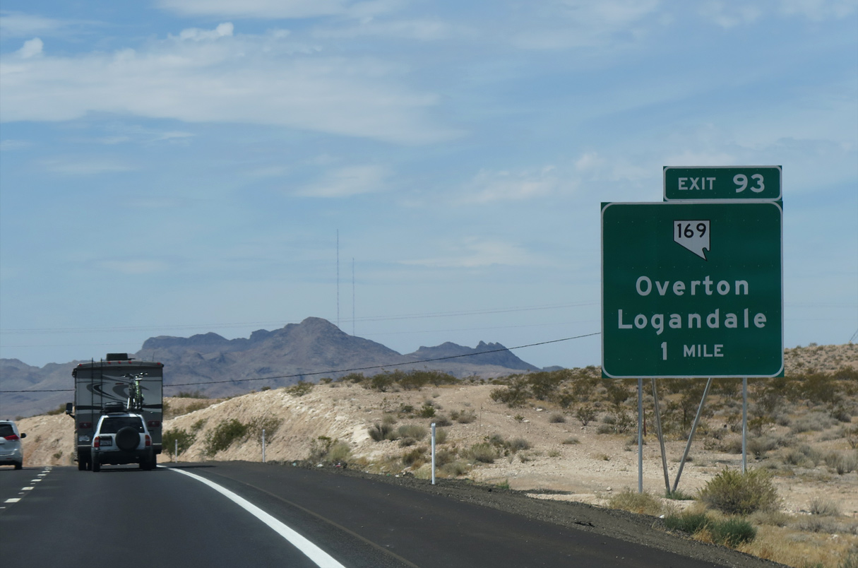
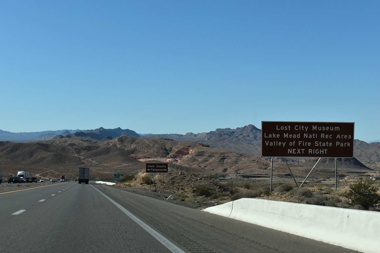
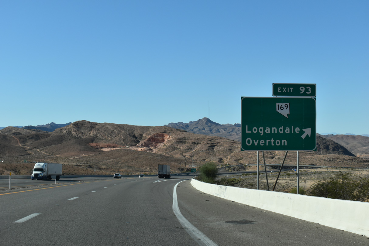
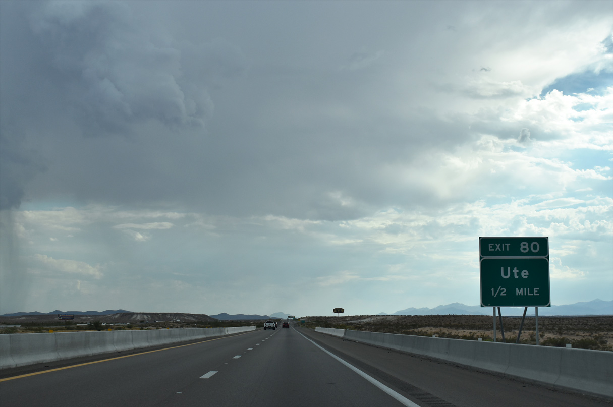
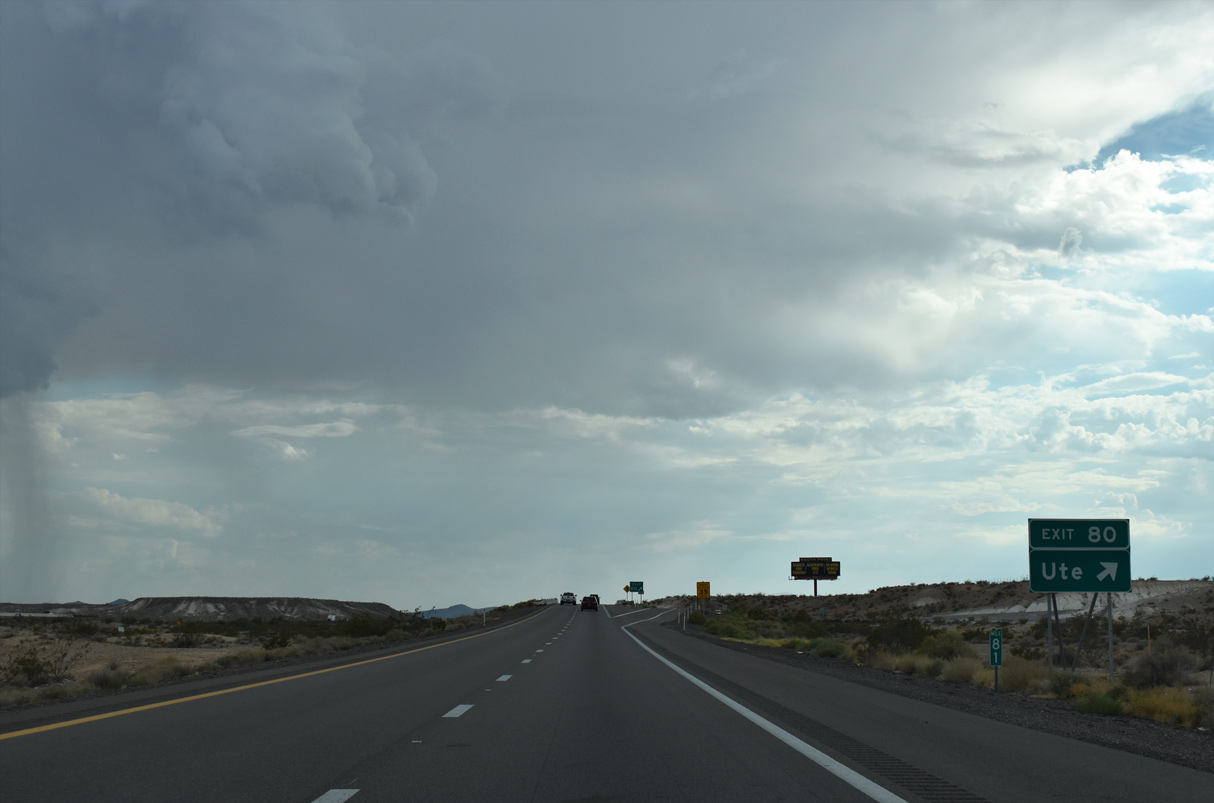
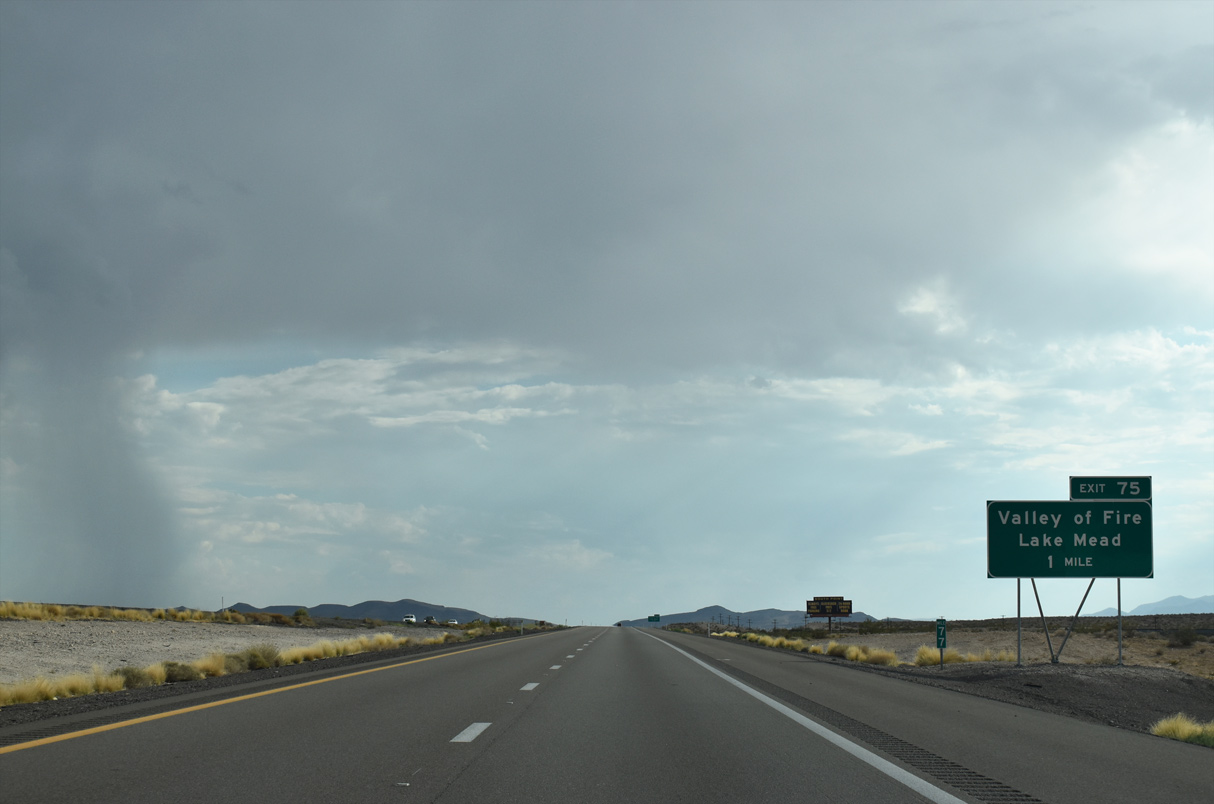
SR 169 extends 18.598 miles north from Lake Mead Recreational Area to meet I-15 at a diamond interchange (Exit 93) in one mile.
10/23/25
10/23/25
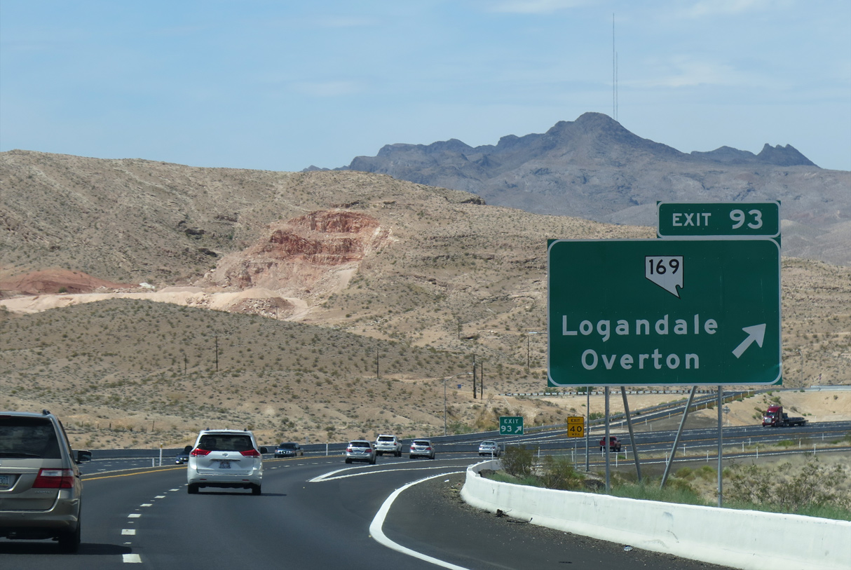
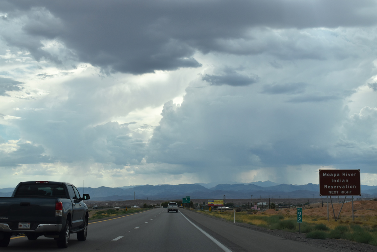
SR 169 travels the length of Moapa Valley, passing through Logandale and Overton en route to Lake Mead Recreational Area and Valley of Fire State Park.
10/23/25
10/23/25
10/23/25
10/23/25
10/23/25
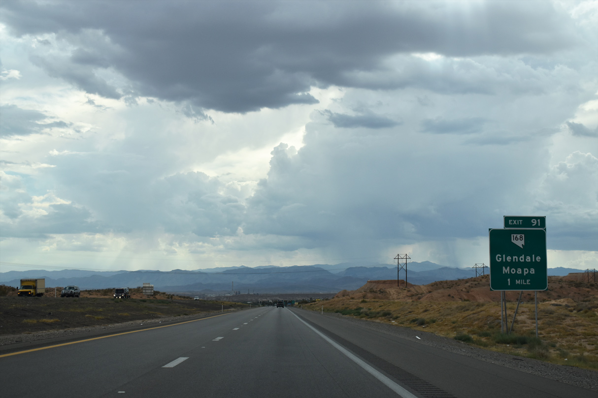
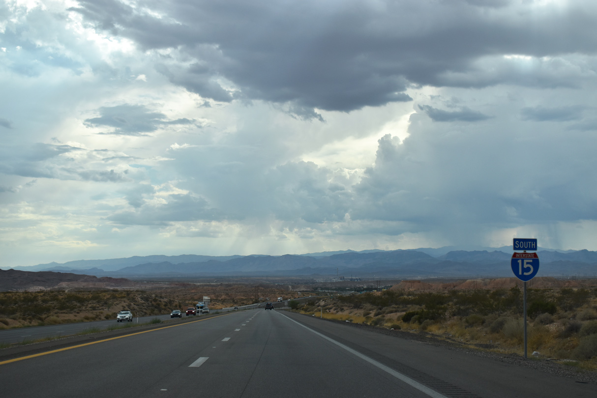
Glendale Boulevard connects I-15 to SR 168 west at Exit 91 in one mile.
10/23/25
10/23/25
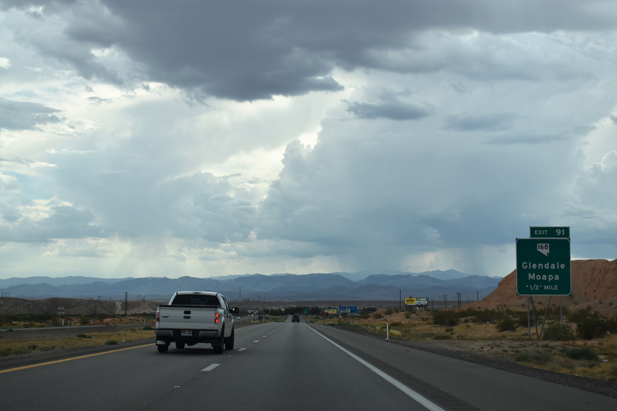
SR 168 branches 24.758 miles northwest from Glendale and Moapa to U.S. 93 near Coyote Springs.
10/23/25
10/23/25
10/23/25

10/23/25
07/14/18

Glendale Boulevard travels west to the beginning of SR 168. The state route represents an original alignment of U.S. 93.
07/14/18
07/14/18

10/23/25

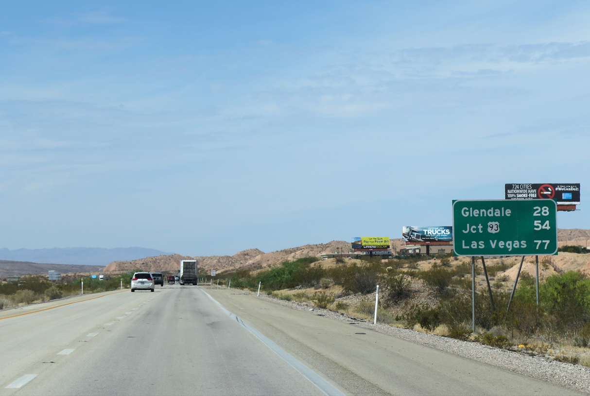
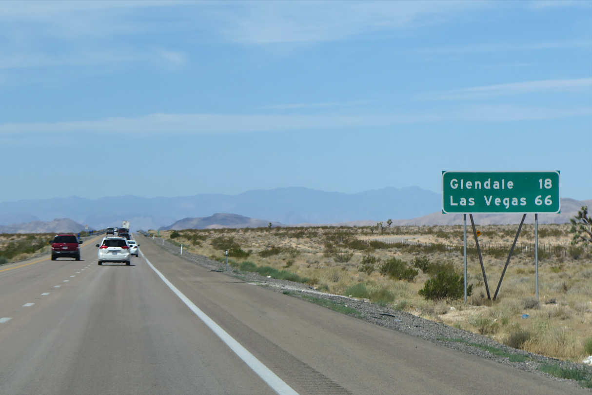
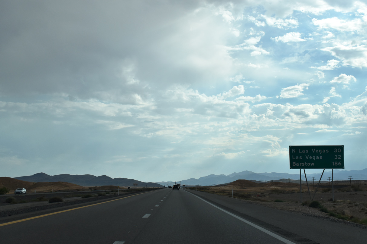
Los Angeles debuts at 336 miles out as I-15 angles southwest from Glendale to the Las Vegas metro area.
10/23/25
10/23/25

10/23/25
Beginning operation in 1965, the 612 MW coal-fired Reid Gardner Generating Station retired from service in 2017.
07/12/15
07/12/15
10/23/25
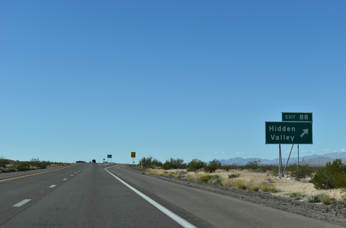
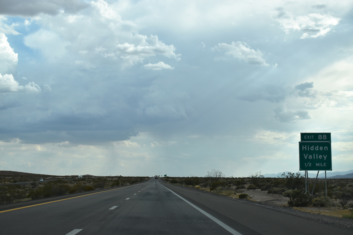
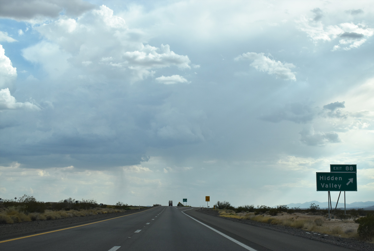
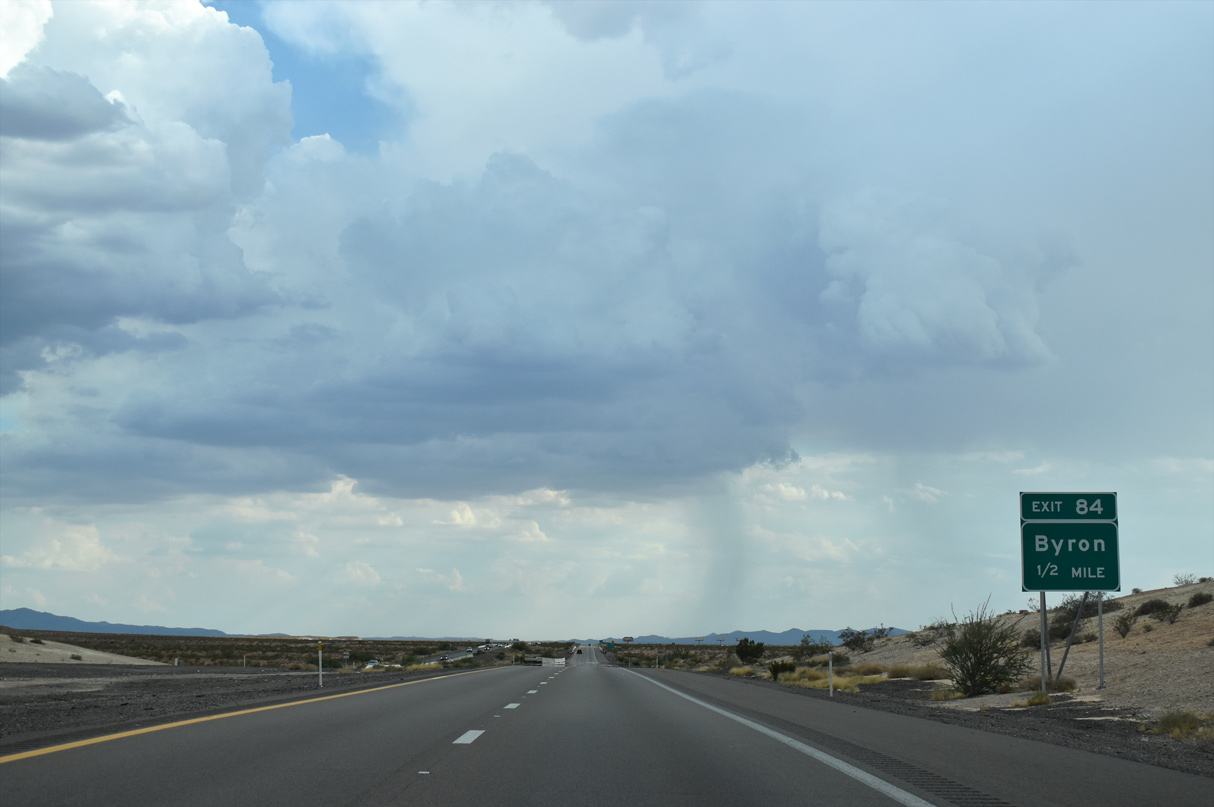
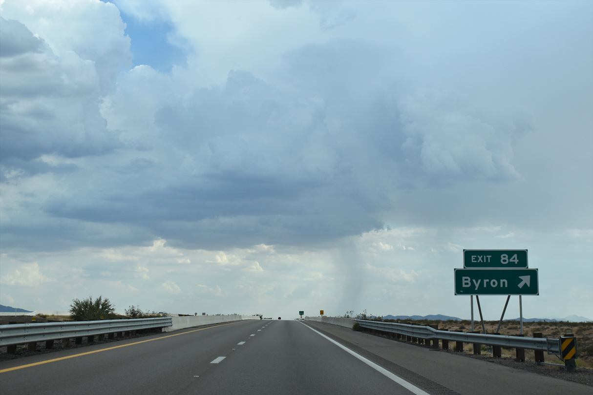
A folded diamond interchange (Exit 84) joins I-15 with Hidden Valley Road north to SR 168.
10/23/25
10/23/25
10/23/25
07/12/15
10/23/25
10/23/25
10/23/25
10/23/25
10/23/25
10/23/25
10/23/25
08/26/14
10/23/25
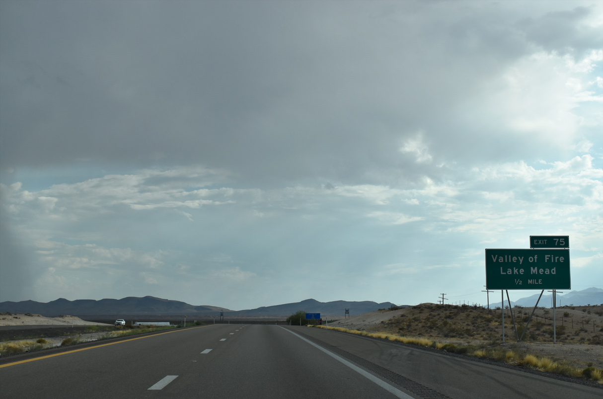
Valley of Fire Highway leads east from I-15 to Valley of Fire State Park one half mile ahead.
10/23/25
10/23/25
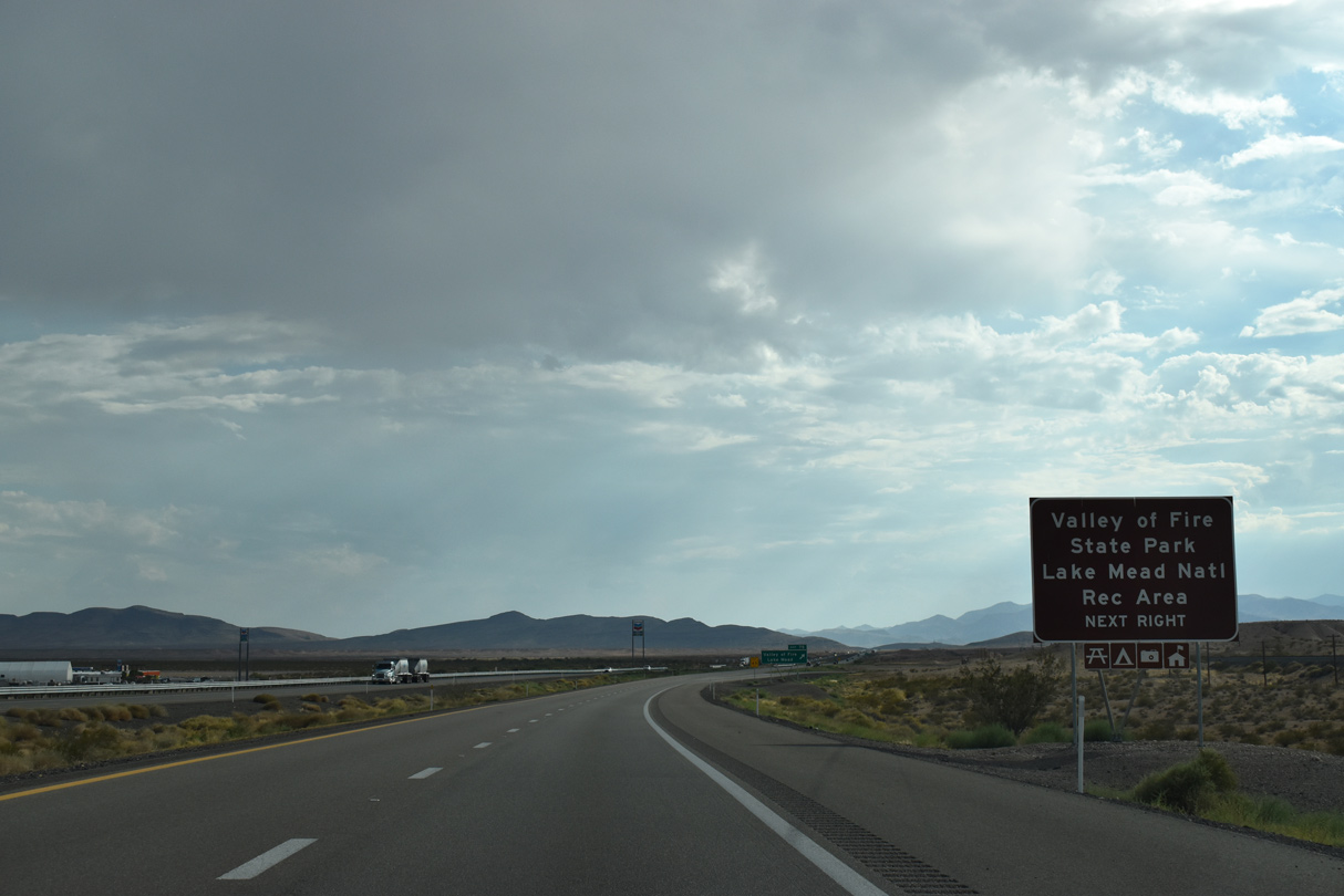
Established by the state legislature in 1935, Valley of Fire State Park encompasses over 40,000 acres of bright red Aztec sandstone outcrops.
10/23/25
10/23/25
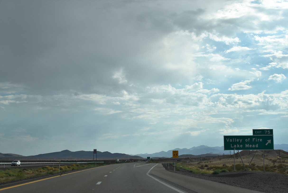
Valley of Fire Highway ends 23.5 miles to the east at Northshore Road within Lake Mead Recreational Area.
10/23/25
10/23/25
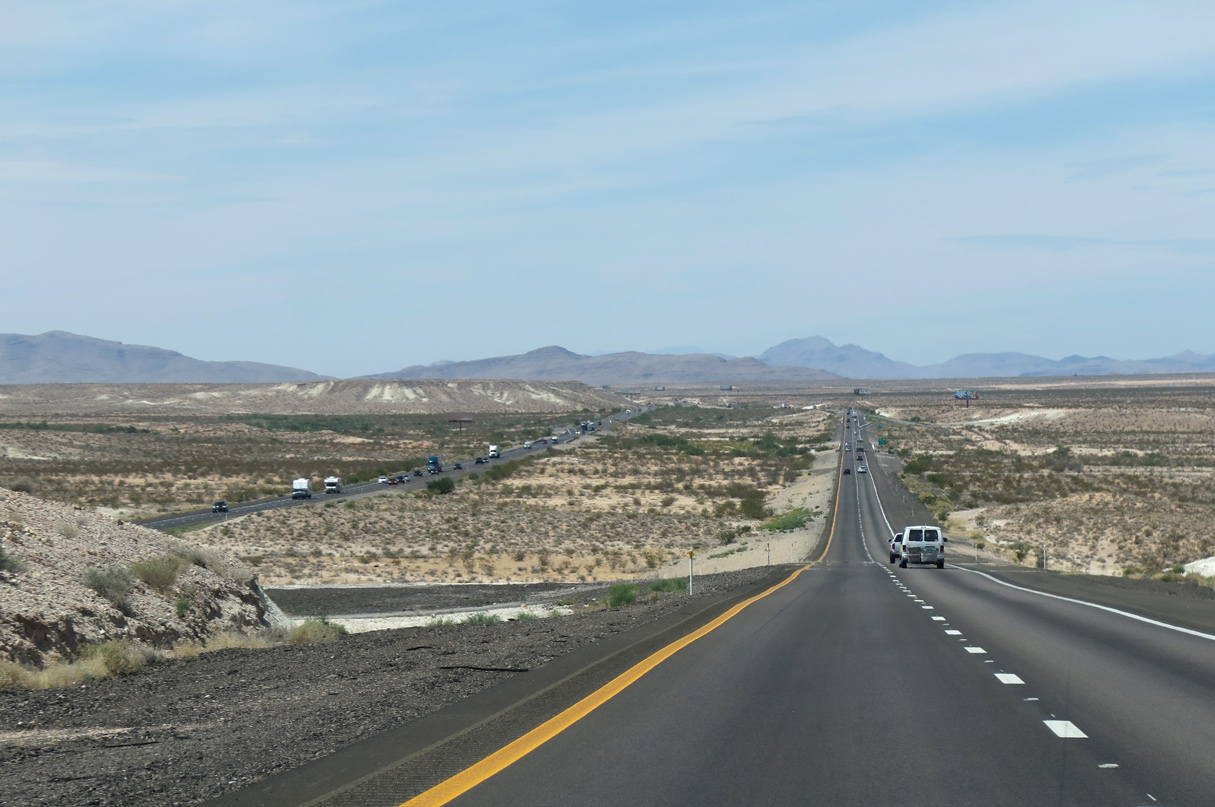
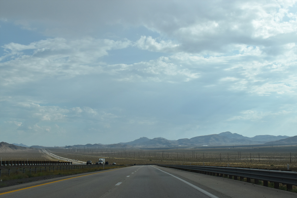
A Union Pacific Railroad line runs alongside Interstate 15 as the freeway advances southwest to Las Vegas.
10/23/25
10/23/25
10/23/25
10/23/25
10/23/25
10/23/25
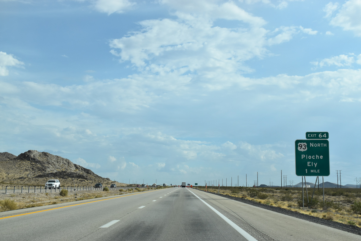
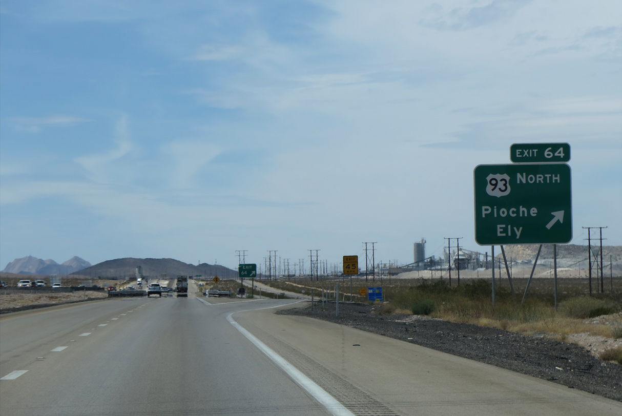
U.S. 93 (Great Basin Highway) ties into Interstate 15 at the Garnet Interchange (Exit 64) south from Hidden Valley between the Arrow Canyon and Las Vegas Ranges.
10/23/25
10/23/25
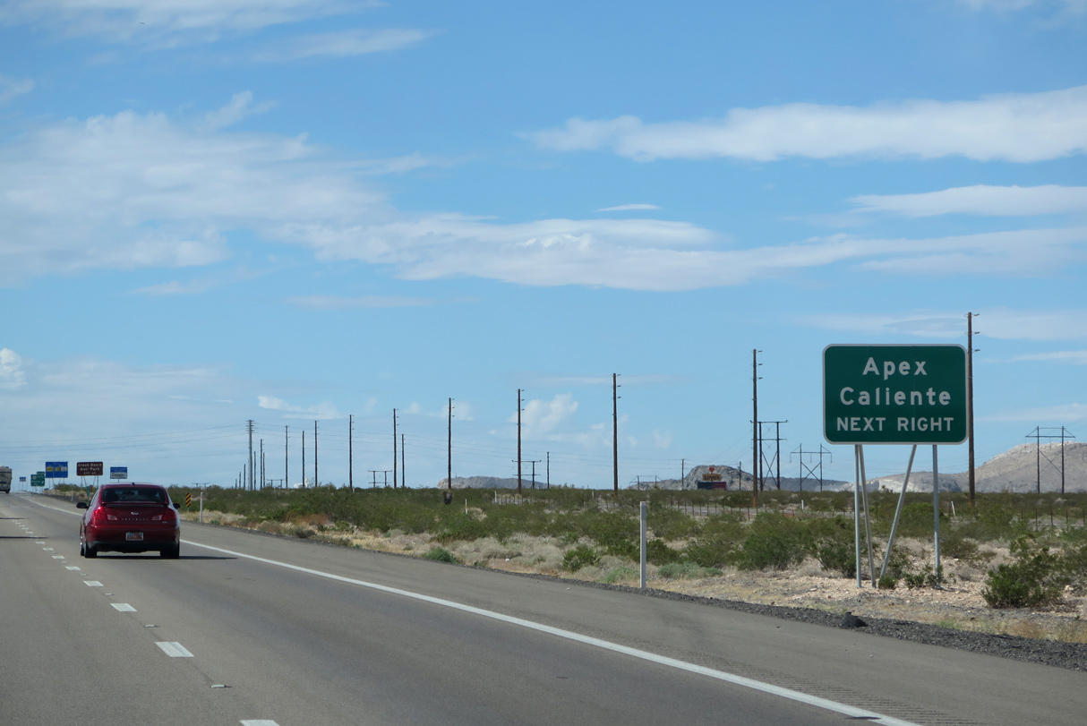
U.S. 93 travels east from the Pahranagat Valley to Caliente and the north to Lincoln County seat of Pioche.
10/23/25
10/23/25
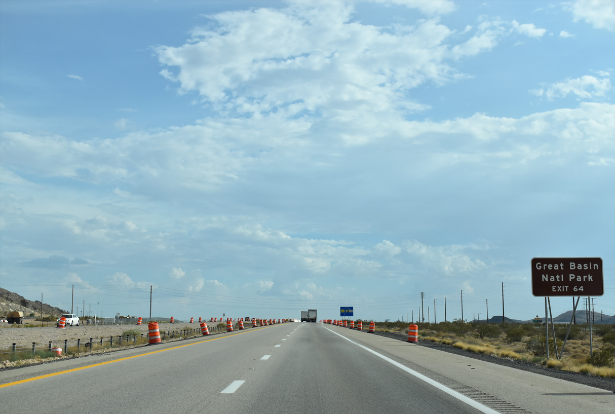
Construction through December 2018 updated the exchange between I-15 and U.S. 93 into a modified diverging diamond interchange.
10/23/25
10/23/25
Great Basin National Park lies far to the north off U.S. 6/50 east from where U.S. 93 overlaps with the two routes west into Ely.
10/23/25
10/23/25

While U.S. 93 north heads to Caliente and Ely, U.S. 93 south follows I-15 to I-11/U.S. 93 near Downtown Las Vegas.
10/23/25
10/23/25
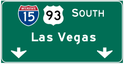

Photo Credits:
- ABRoads: 07/14/18, 10/23/25
- Andy Field: 08/26/14, 07/12/15
Connect with:
Page Updated Thursday November 20, 2025.