
Interstate 17 North - New River to Cordes Lakes
 North
North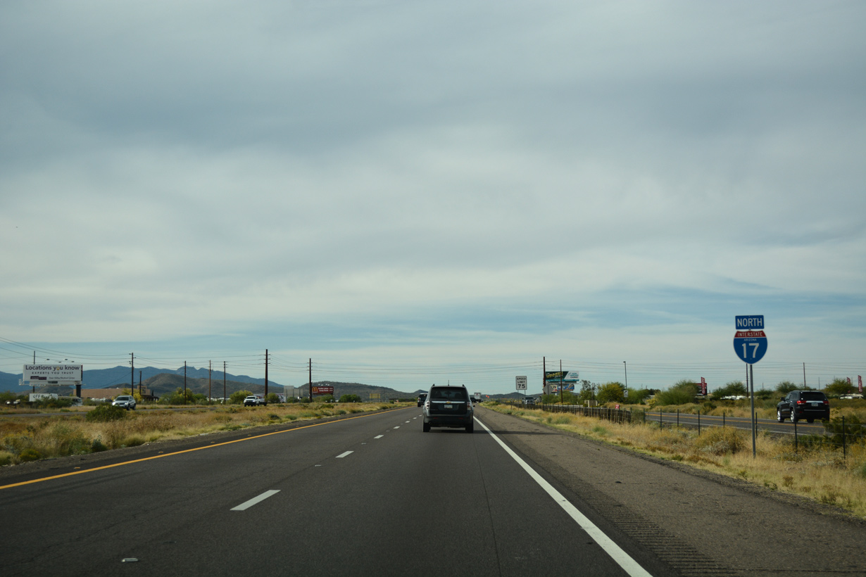
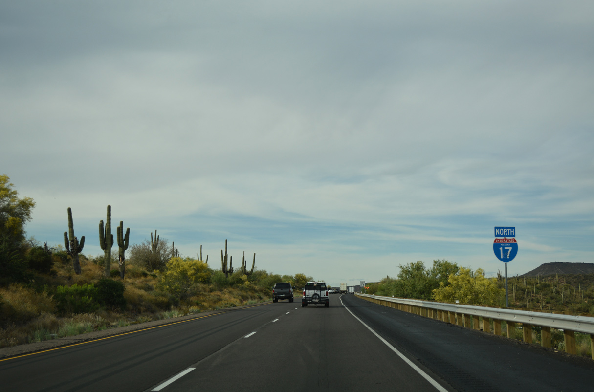
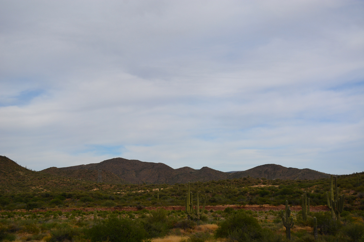
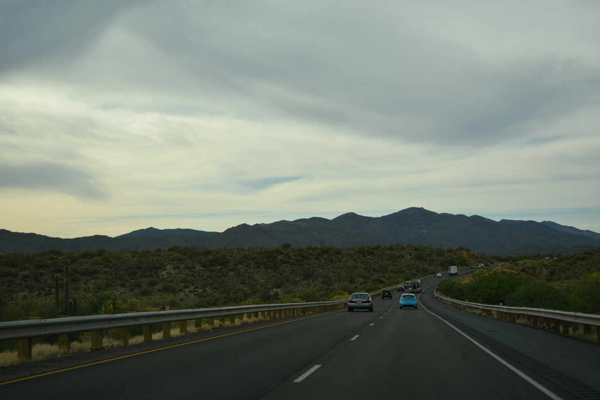
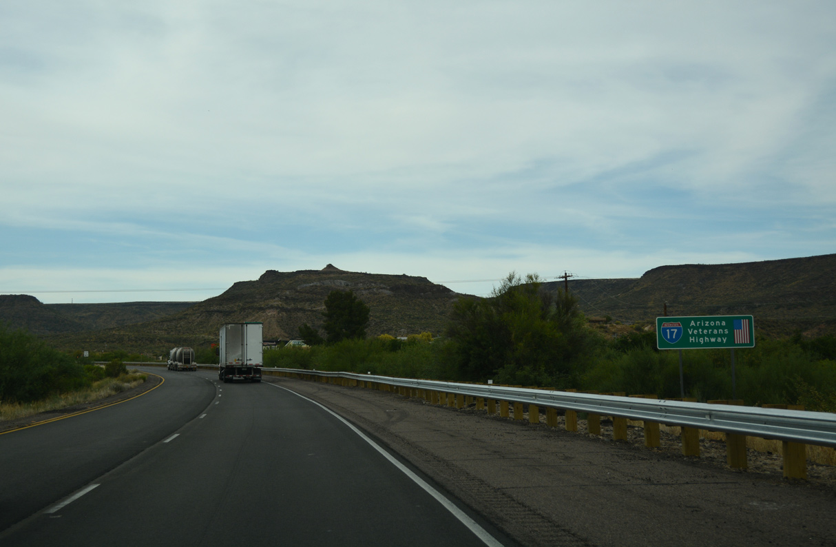
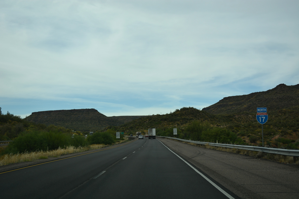
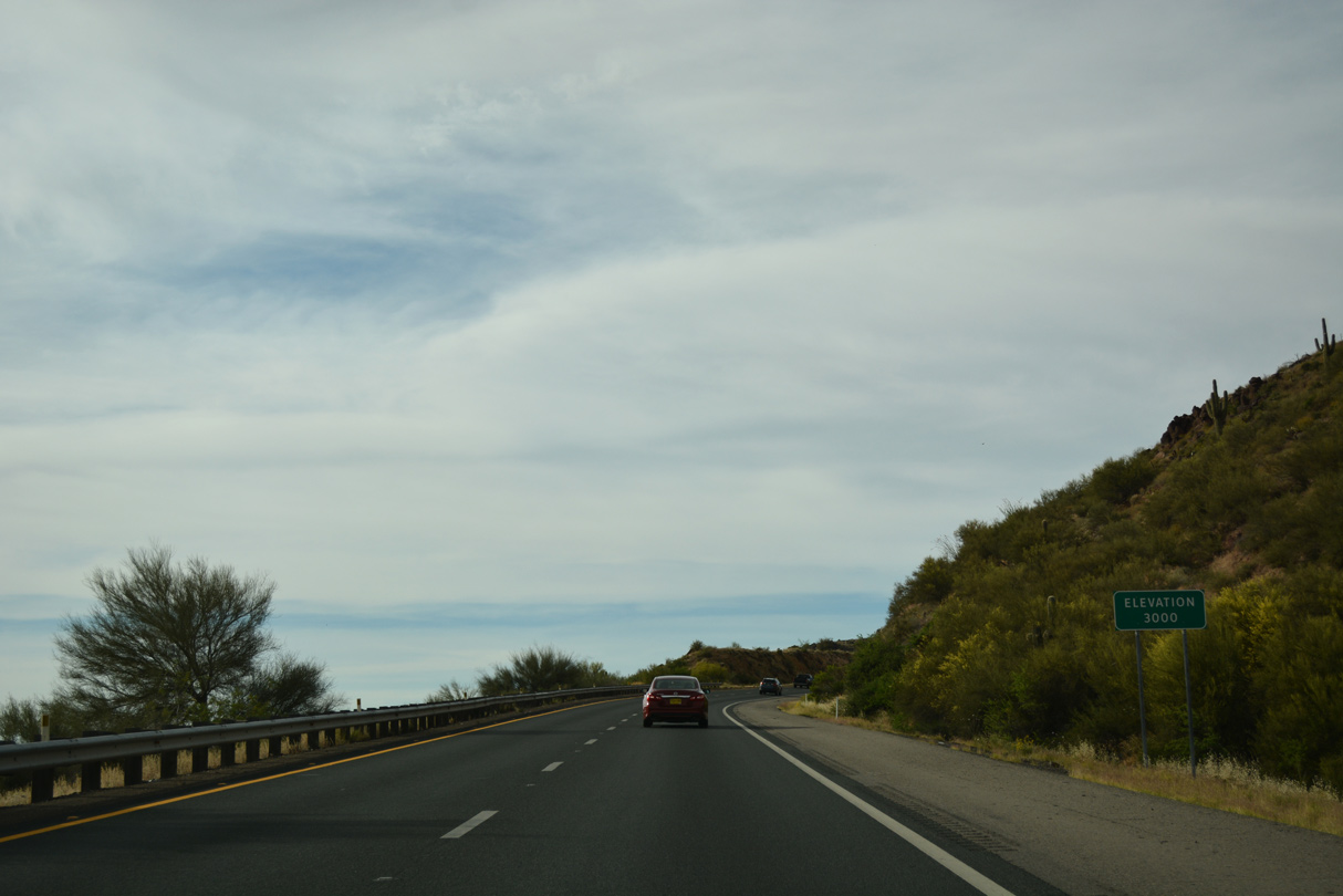
Interstate 17 leaves the developed areas north into a more rural portion of Maricopa County.
04/26/17
04/26/17
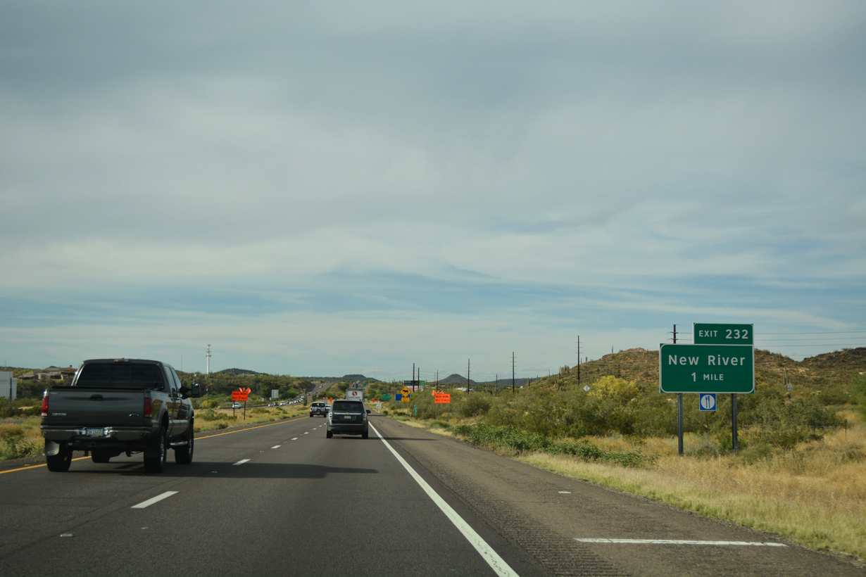
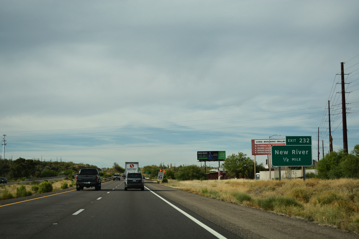
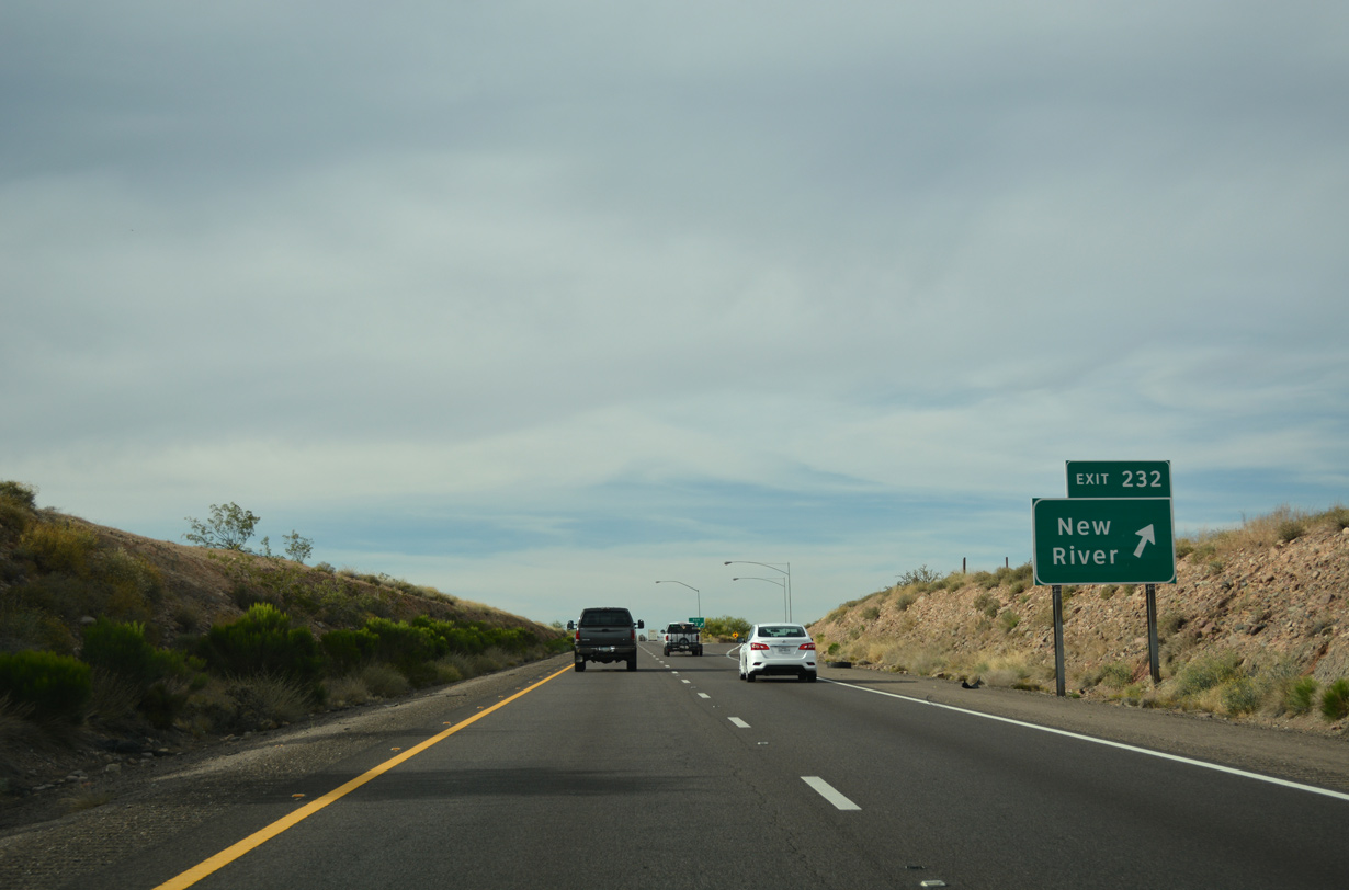
The diamond interchange at Exit 232 joins Interstate 17 with New River Road at the unincorporated community of New River.
04/26/17
04/26/17
New River Road east ties into Black Canyon Highway, the former alignment of SR 69.
04/26/17
04/26/17
04/26/17
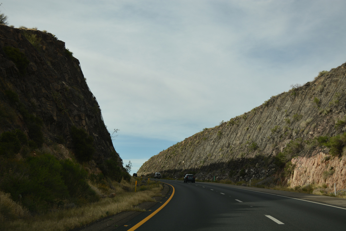
The roadways for Interstate 17 separate as the freeway parallels the New River.
04/26/17
04/26/17
04/26/17

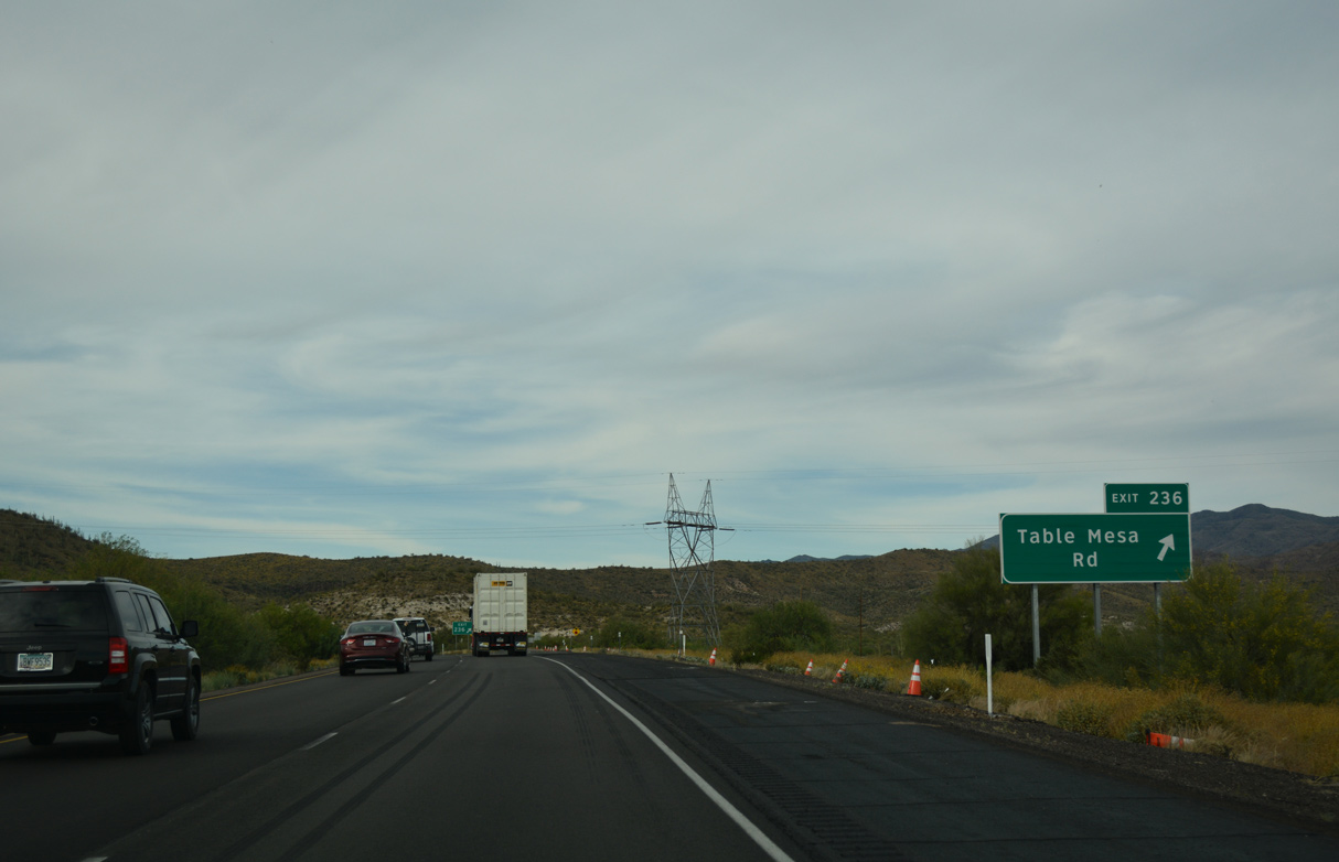
A parclo interchange (Exit 236) links Interstate 17 with Table Mesa Road east in one mile.
04/26/17
04/26/17
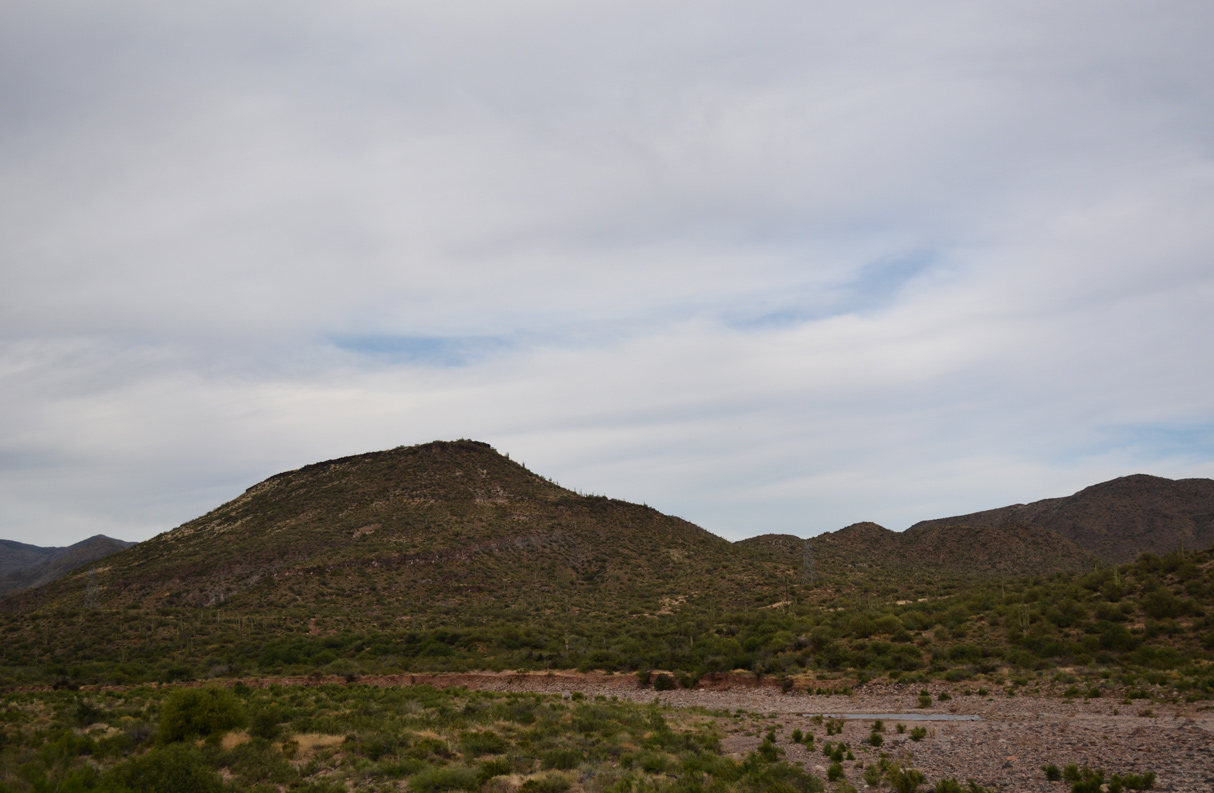
Nearby Table Mountain rises east of I-17 and south of Table Mesa Road.
04/26/17
04/26/17
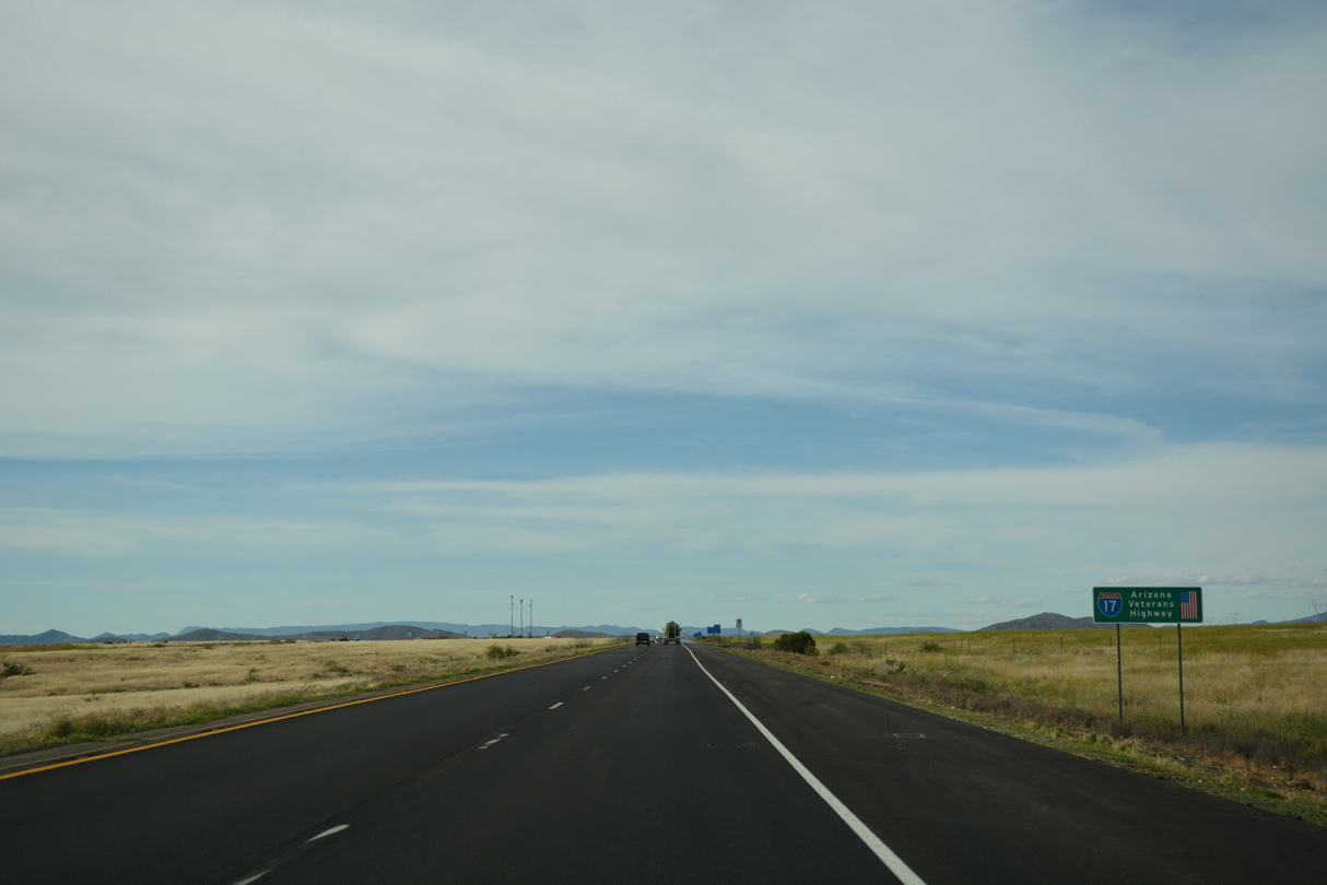
The New River Mountains spread along the eastern horizon.
04/26/17
04/26/17
04/26/17

04/26/17
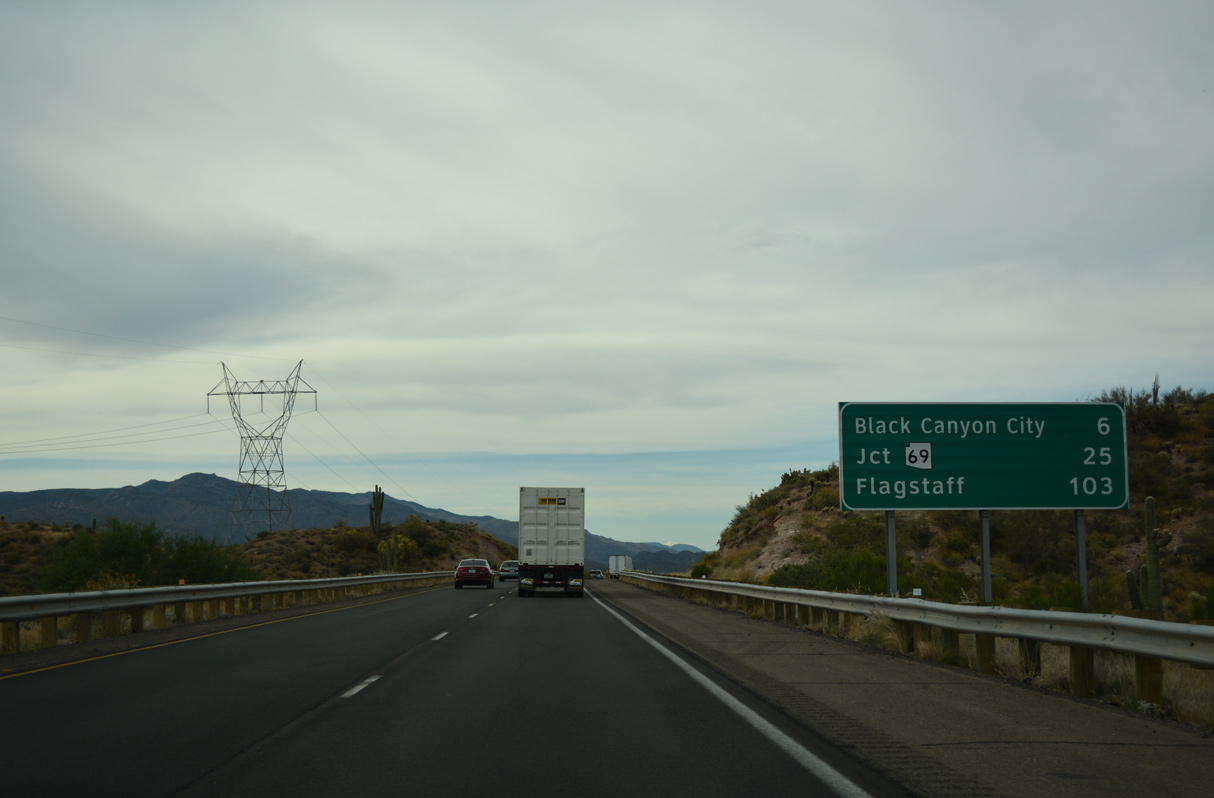
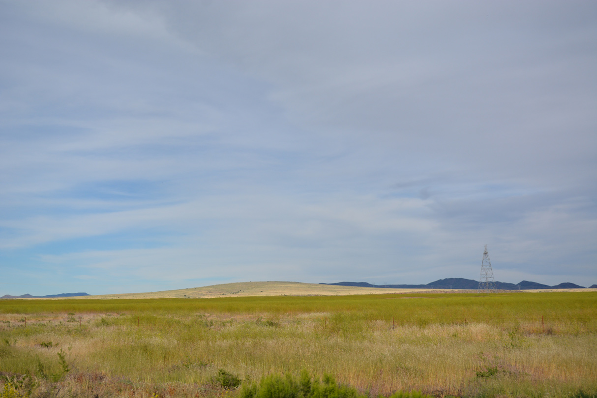
Power lines appearing to the west of I-17 are of the network connecting population centers in the southwest with the power generation stations associated with the hydroelectric and fossil fuel facilities in northern Arizona.
04/26/17
04/26/17
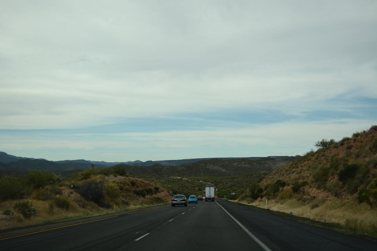
The roadways of Interstate 17 further separate leading north into Moore Gulch.
04/26/17
04/26/17
Interstate 17 north near Little Squaw Creek.
04/26/17
04/26/17
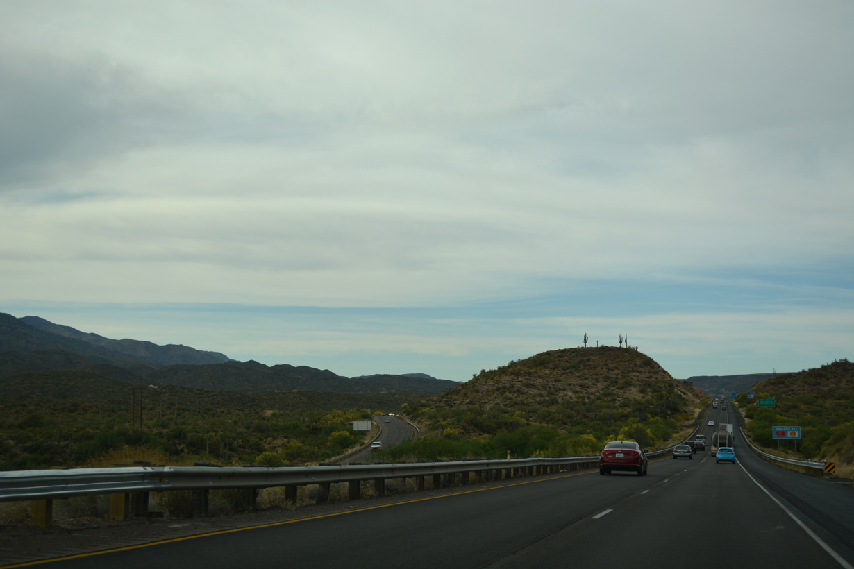
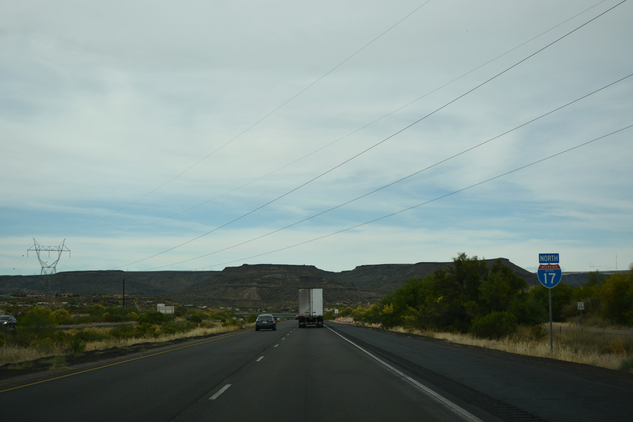
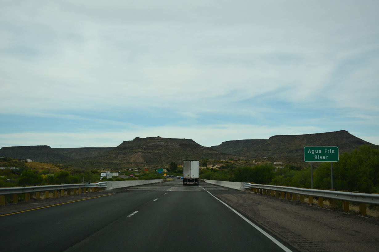
Interstate 17 passes east of Horseshoe Bar along the Agua Fria River leading into Rock Springs.
04/26/17
04/26/17
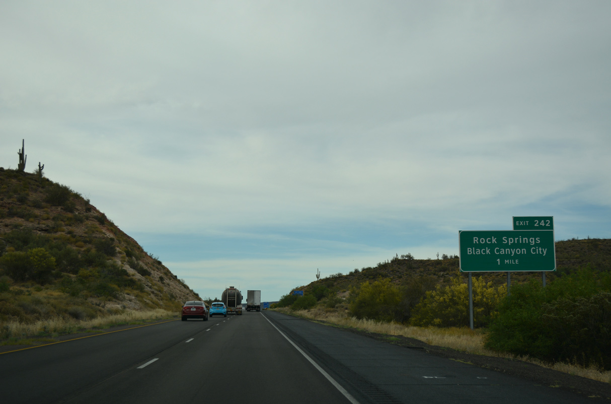
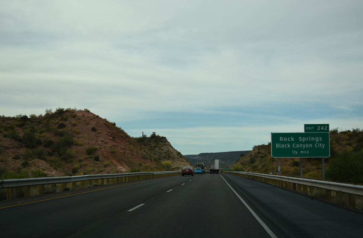
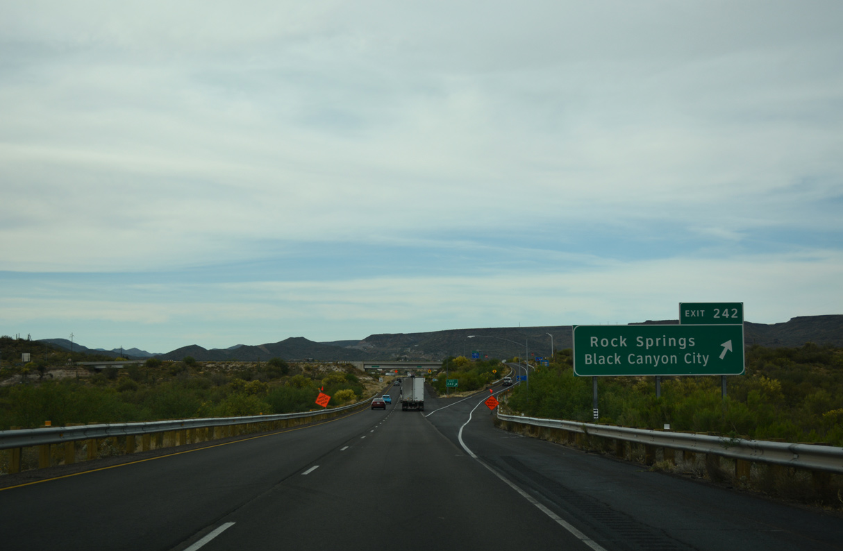
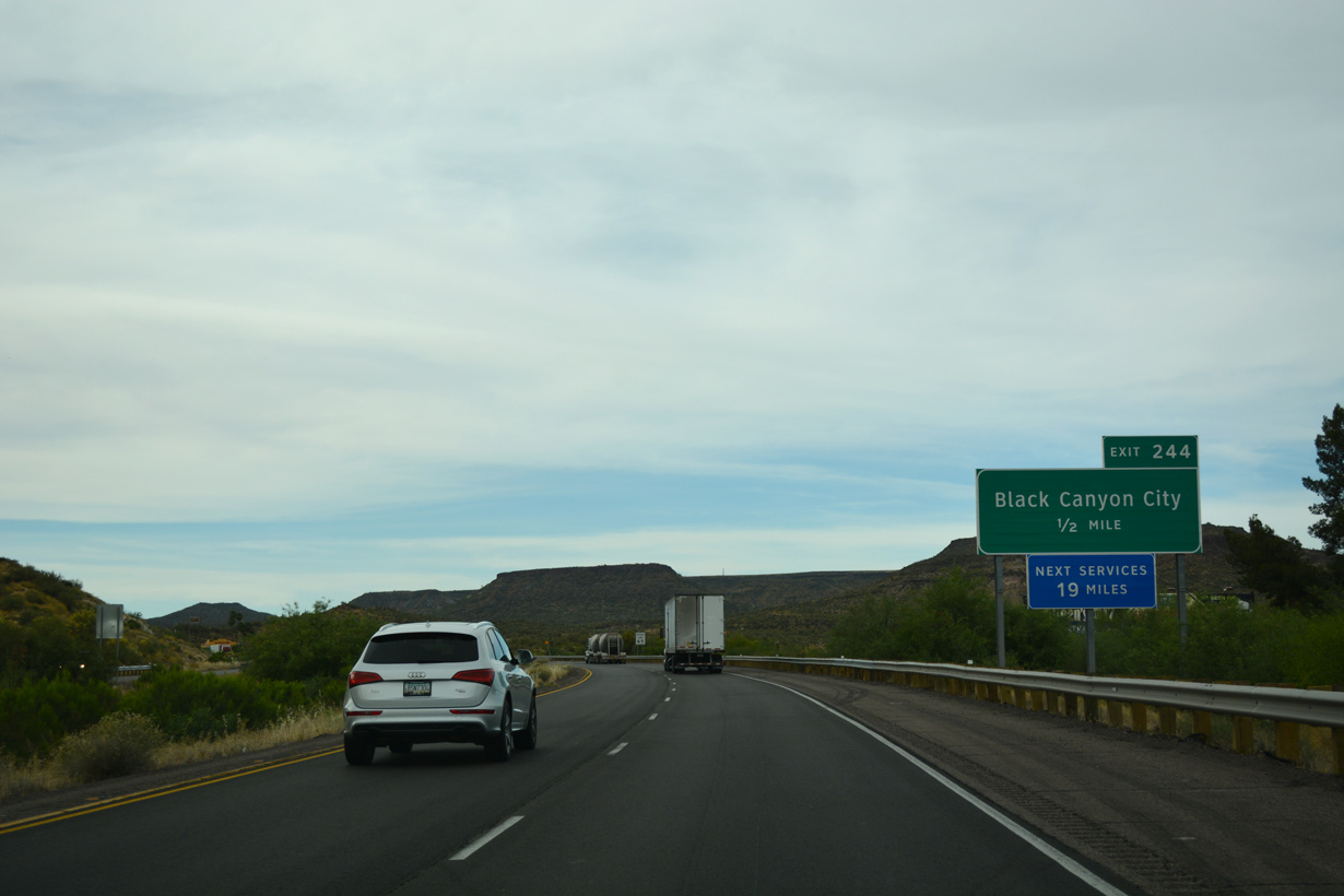
Old Black Canyon Highway loops west from Exit 242 at Rock Springs into the unincorporated community of Black Canyon City.
04/26/17
04/26/17
Old Black Canyon Highway between Exit 242 and 244 was formerly part of Business Loop I-17. The 2.69 mile long loop through Black Canyon City was the lone business route for Interstate 17.
04/26/17
04/26/17
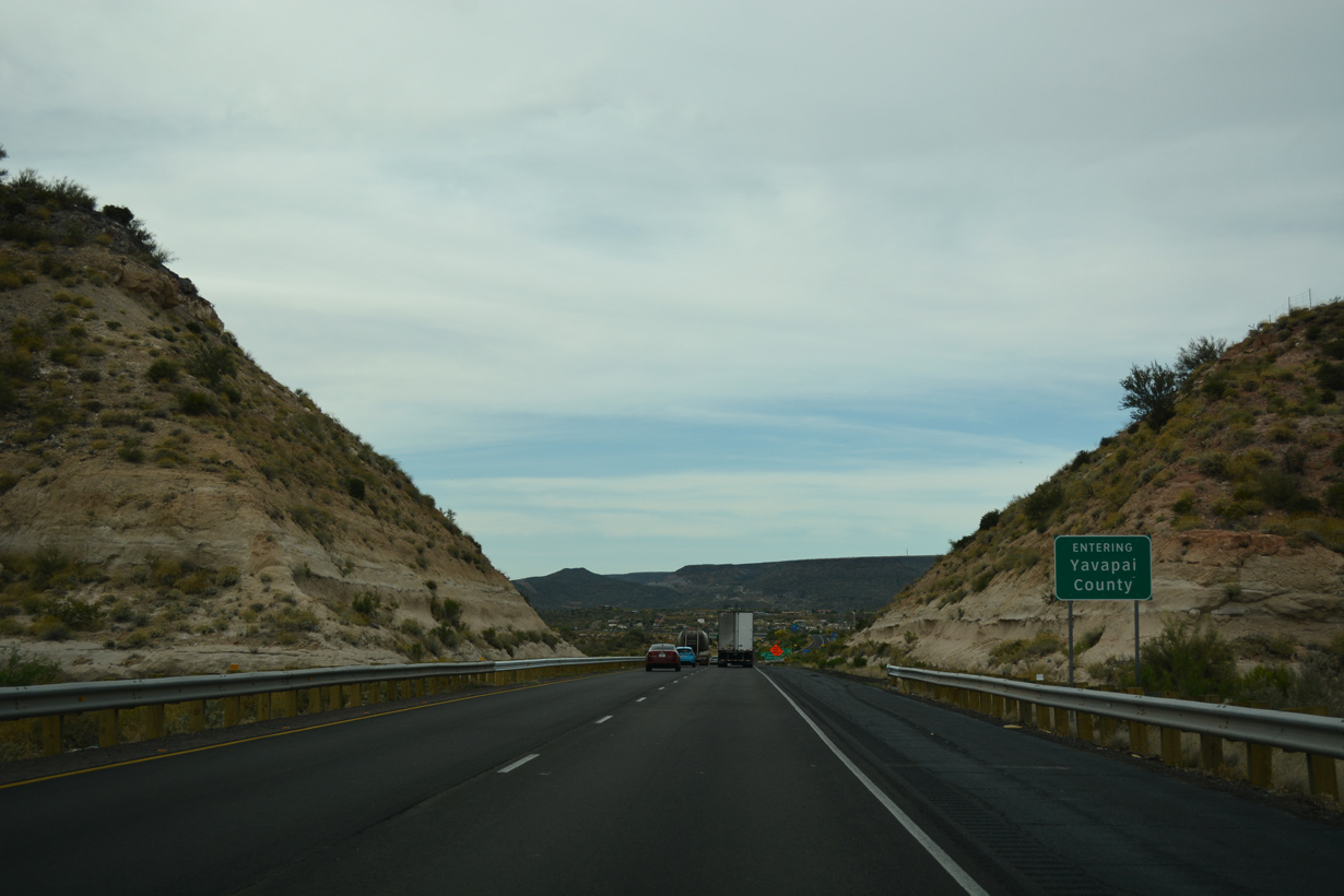
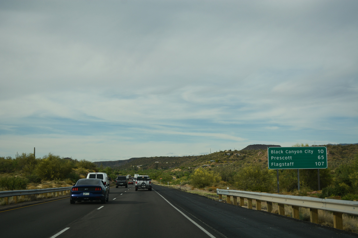
The initial 47.63 miles of Interstate 17 north fall within Maricopa County. The freeway enters Yavapai County at Rock Springs.
04/26/17
04/26/17
Old Black Canyon Highway runs west through the Black Canyon City business district ahead of the Agua Fria River.
04/26/17
04/26/17
Black Mesa rises to the north beyond Black Canyon City.
04/26/17
04/26/17

Old Black Canyon Highway returns to Interstate 17 at the succeeding exit.
04/26/17
04/26/17
04/26/17
04/26/17
There are no traveler services beyond Black Canyon City for another 19 miles.
04/26/17
04/26/17
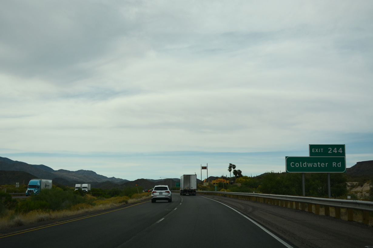
Coldwater Road arcs 0.68 miles southeast from Old Black Canyon Highway at Exit 244 to residential areas at Squaw Valley Road.
04/26/17
04/26/17
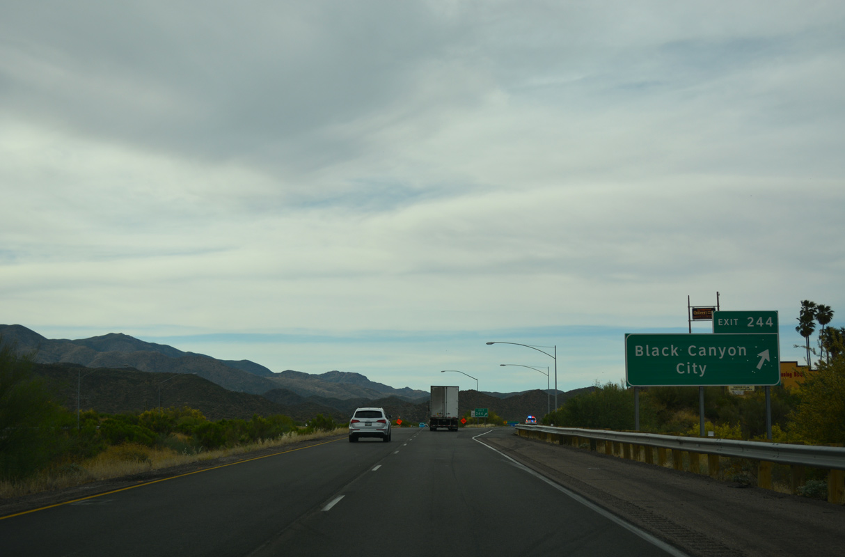
A modified diamond interchange joins the former north end of Business Loop I-17 (Old Black Canyon Highway) with Interstate 17 at Exit 244.
04/26/17
04/26/17
A restriction requires truckers to remain in the right lane north from Black Canyon City six miles until after Sunset Point. This restriction was implemented due to increasing traffic along I-17, which resulted in backups when trucks tried to pass on the grade.
04/26/17
04/26/17
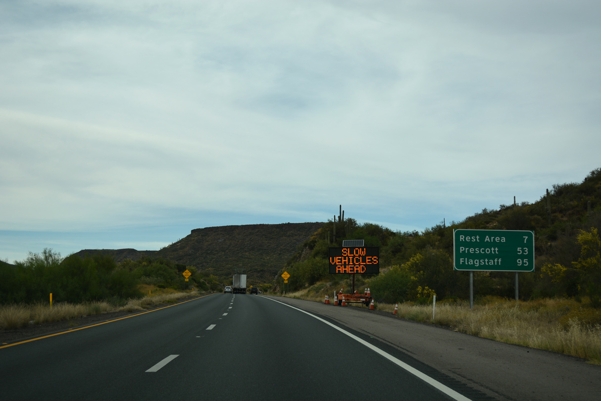
The Sunset Point Rest Area lies seven miles north of Black Canyon City, followed by Flagstaff in 95 miles.
04/26/17
04/26/17
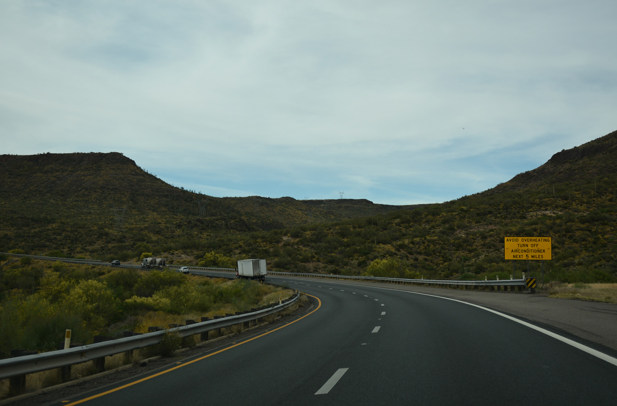
Motorists are advised to turn of air conditioners to avoid overheating on the ascent onto Black Mesa.
04/26/17
04/26/17
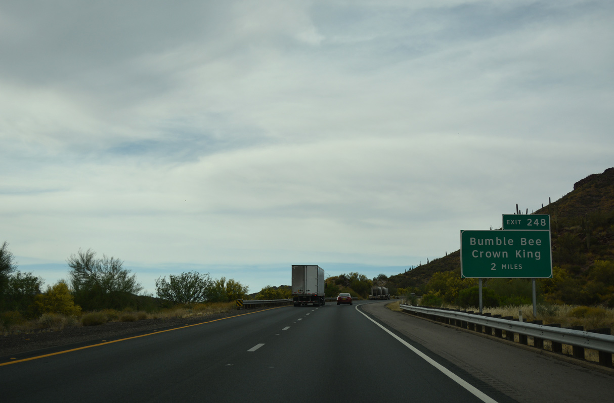
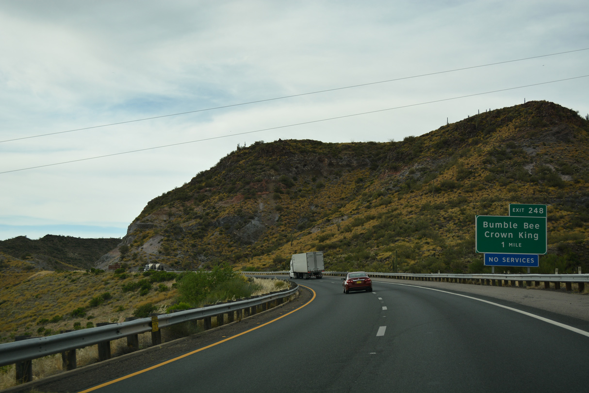
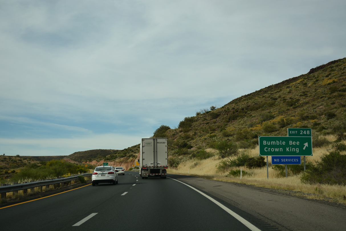
Bumble Bee Road stems northwest from Exit 248 to the pre-1956 alignment of SR 69 between Exit 248 and Exit 262.
04/26/17
04/26/17
Bumble Bee Road meanders west from I-17 into Black Canyon, where it turns north to the settlement of Bumble Bee.
04/26/17
04/26/17
Old SR 69 follows Bumble Bee Road north onto Crown King Road and then Antelope Creek Road through Cordes.
04/26/17
04/26/17
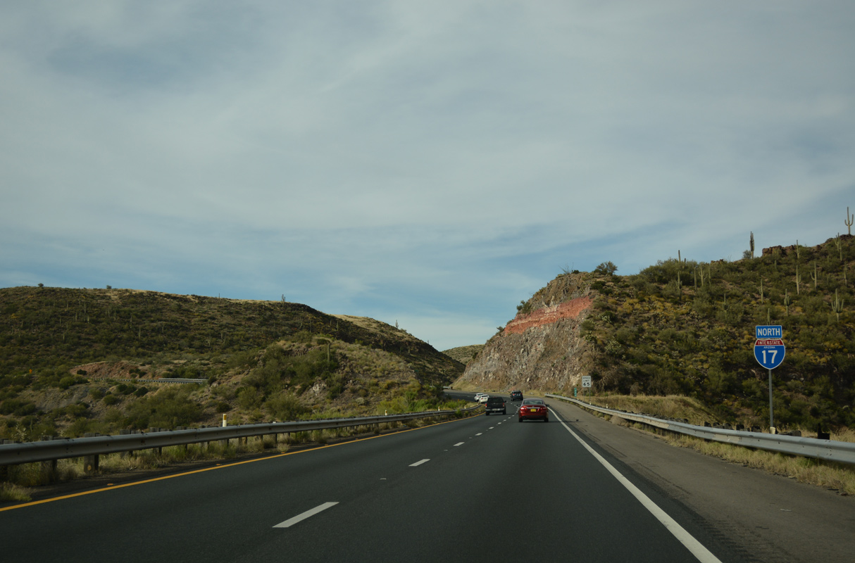
Since leaving Black Canyon City, Interstate 17 has gained elevation at a good pace, setting the freeway up to ascend the Mogollon Rim.
04/26/17
04/26/17
Crossing Arrastre Creek, the succeeding three miles climb onto Black Mesa.
04/26/17
04/26/17
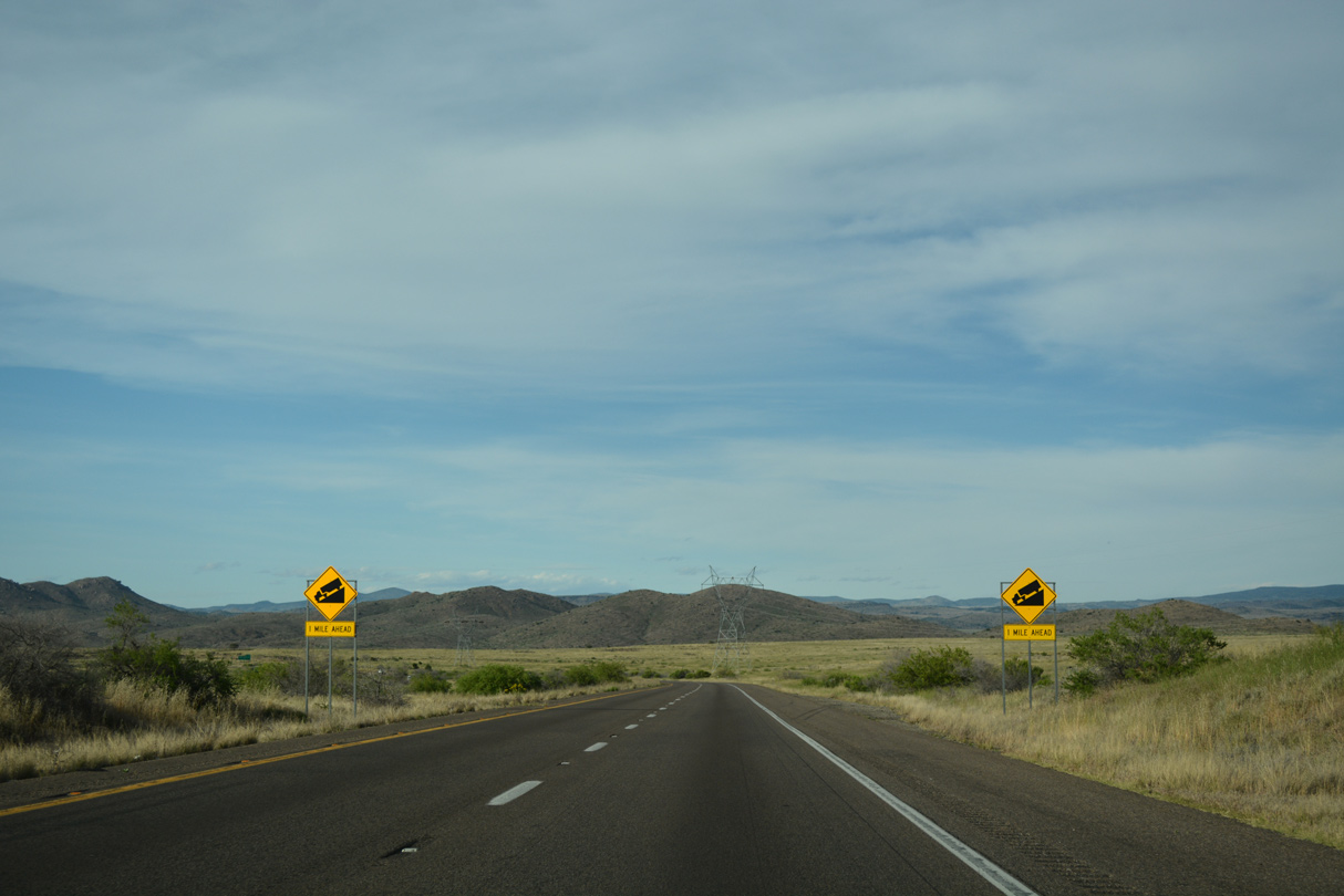
The northbound roadway along I-17 partitions from southbound to allow for different grades.
04/26/17
04/26/17
With the increase in elevation, I-17 leaves the desert and heads for the mountains and forests of Kaibab, Tonto and Coconino National Forest.
04/26/17
04/26/17
The Sunset Point Rest Area comes into view along the west side of I-17 on top of Black Mesa.
04/26/17
04/26/17
Joes Hill rises east of the parallel Agua Fria River, and beyond Black Mesa.
04/26/17
04/26/17

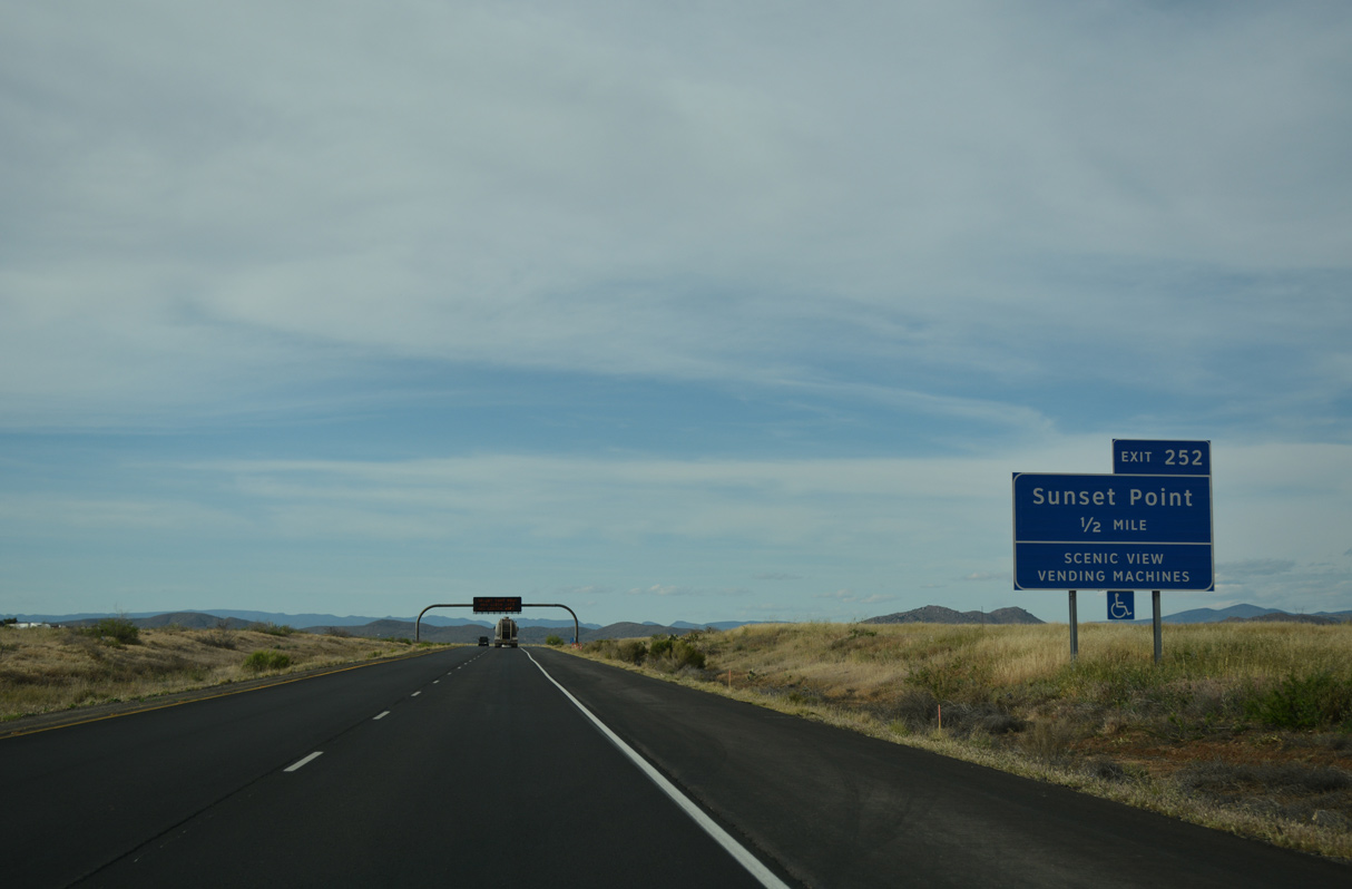
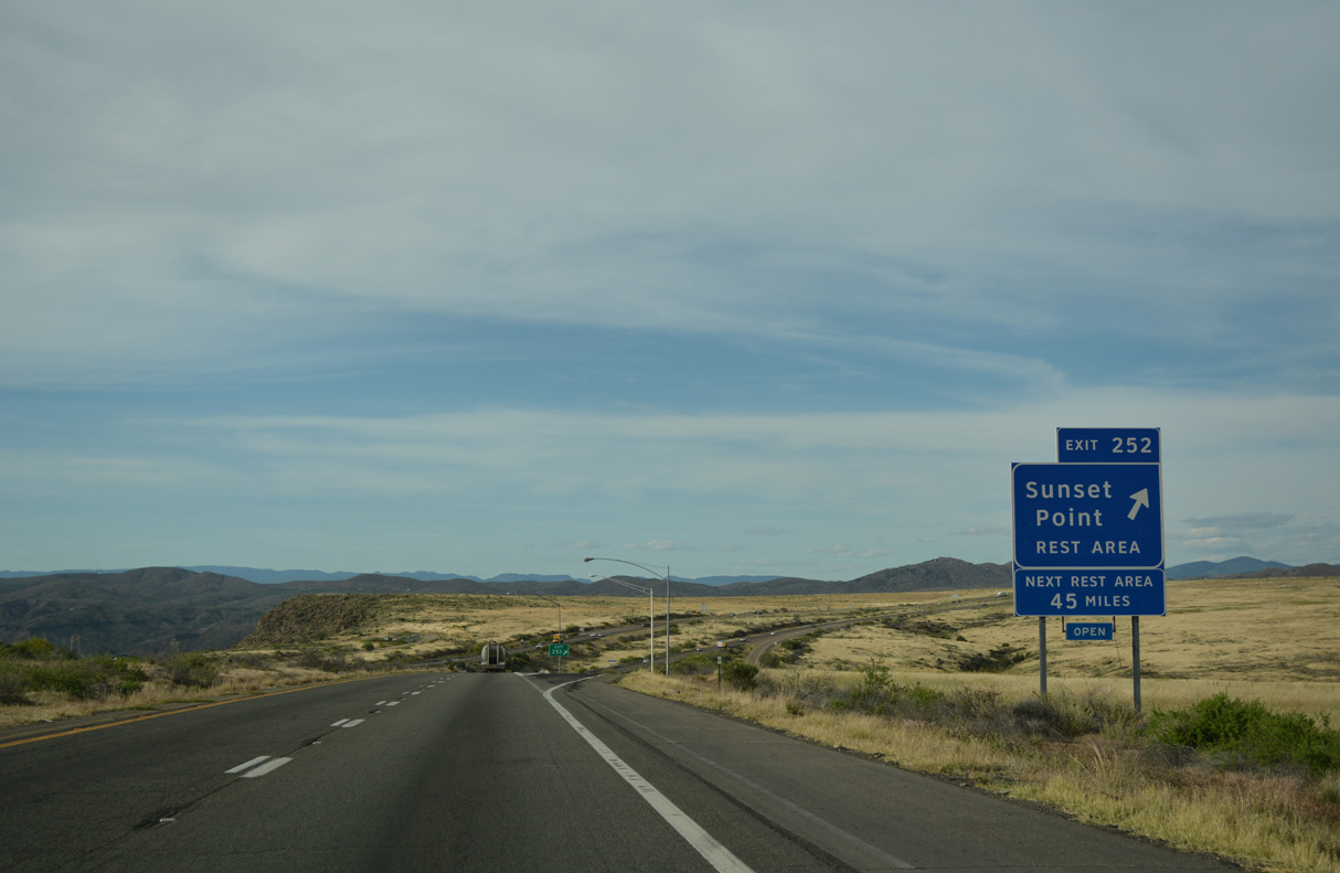
The diamond interchange with Sunset Path south to the Sunset Point Rest Area is Exit 252.
04/26/17
04/26/17
The Sunset Point Rest Area overlooks Black Canyon above Sunset Point and Sheep Gulch.
04/26/17
04/26/17
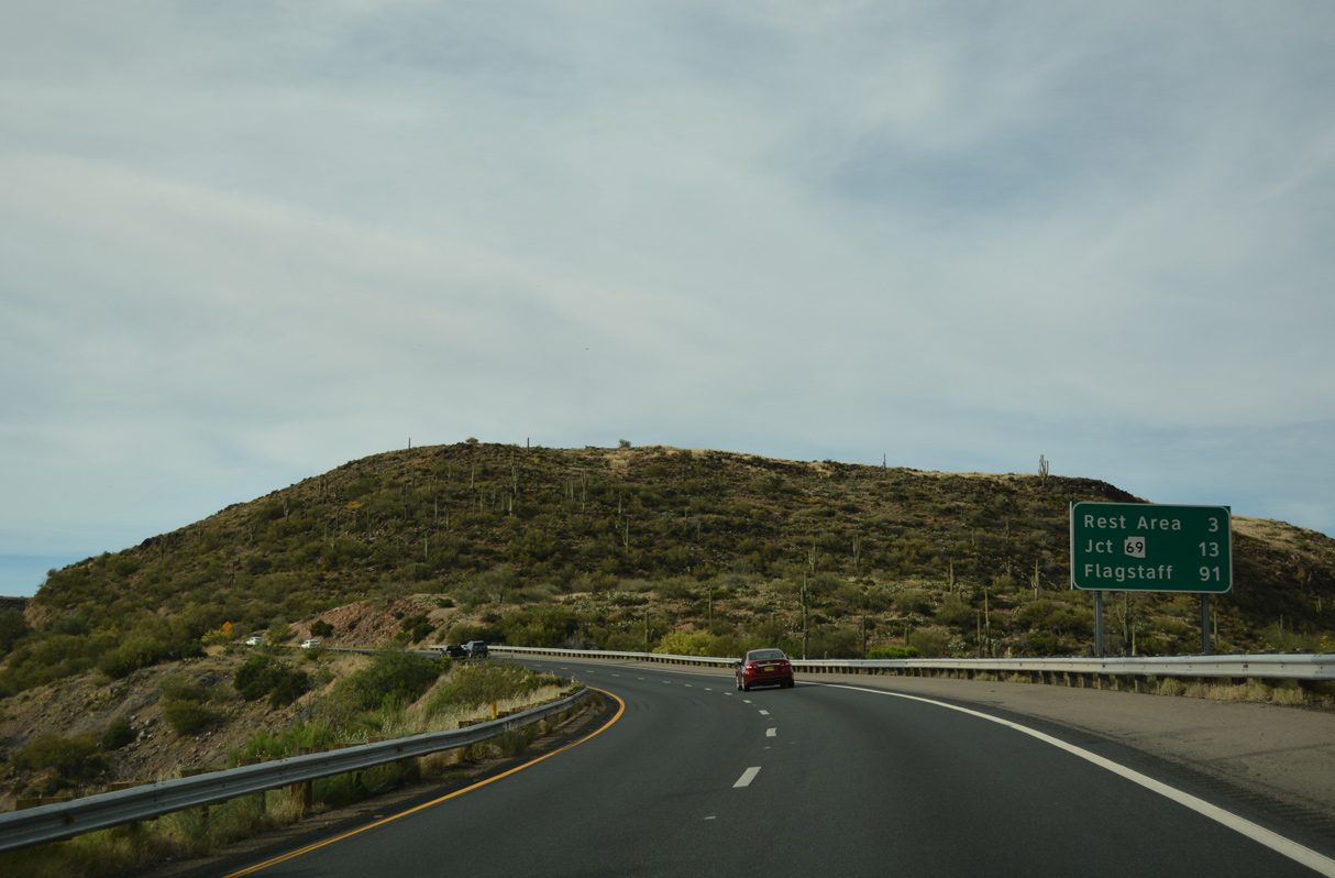
The McGuireville Rest Area is the final facility along Interstate 17 north, 44.5 miles beyond Sunset Point.
04/26/17
04/26/17
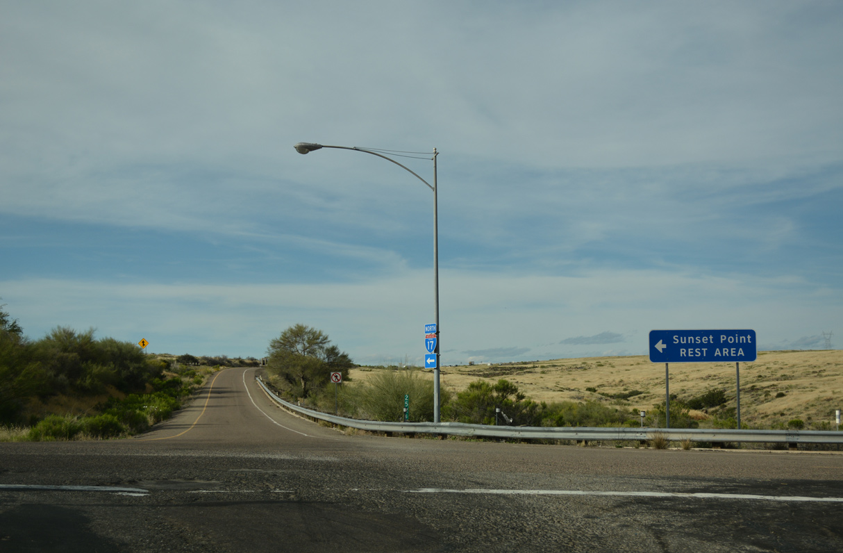
The Sunset Point Rest Area serves both directions of Interstate 17.
04/26/17
04/26/17
04/26/17
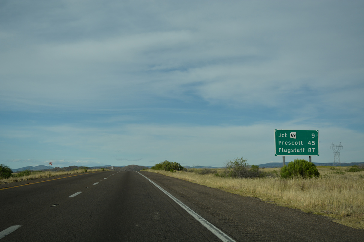
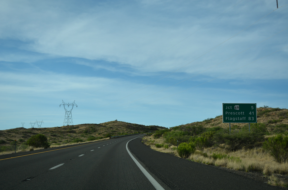
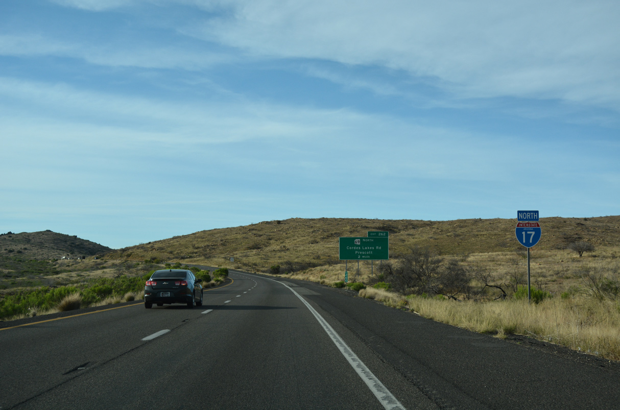
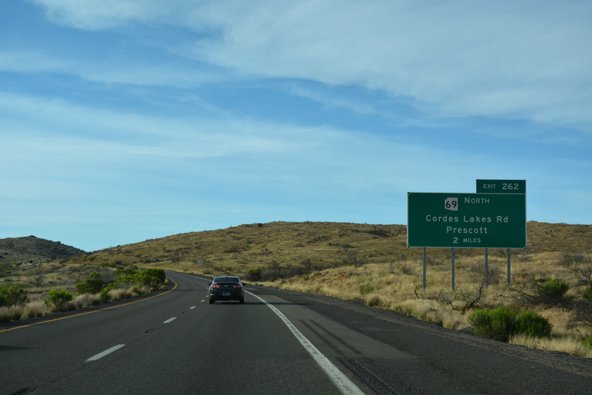
Distance sign posted after the Sunset Point Rest Area for Exit 262 / SR 69 north, the city of Prescott via SR 69, and Flagstaff via Interstate 17.
04/26/17
04/26/17
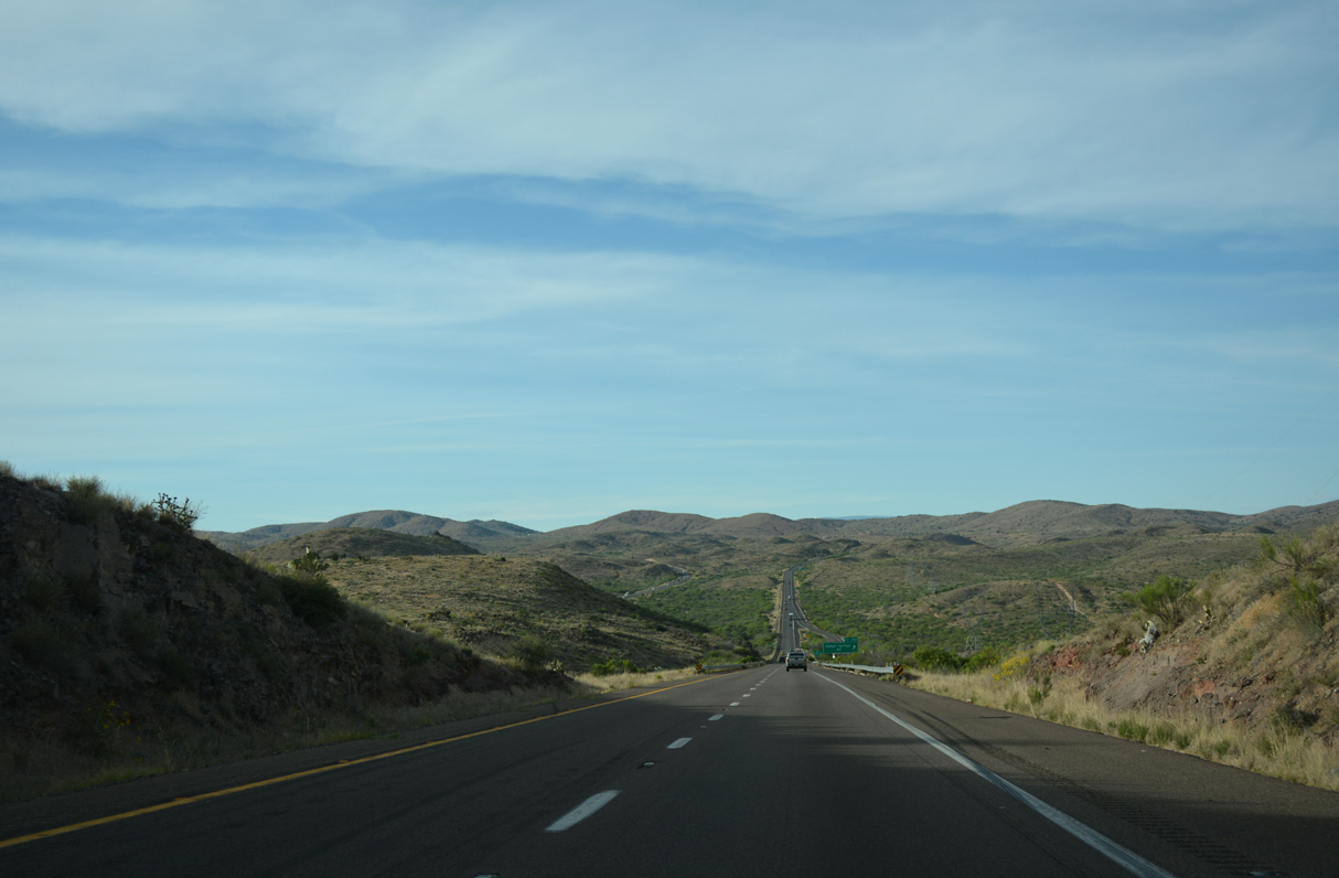
The roadways for Interstate 17 again separate east of Alkali Canyon.
04/26/17
04/26/17
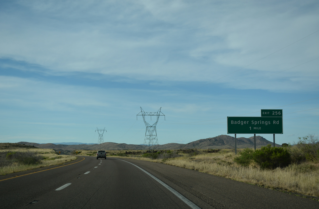
Badger Springs Road stems east from the diamond interchange at Exit 256 to the Badger Springs Trailhead.
04/26/17
04/26/17
04/26/17
04/26/17
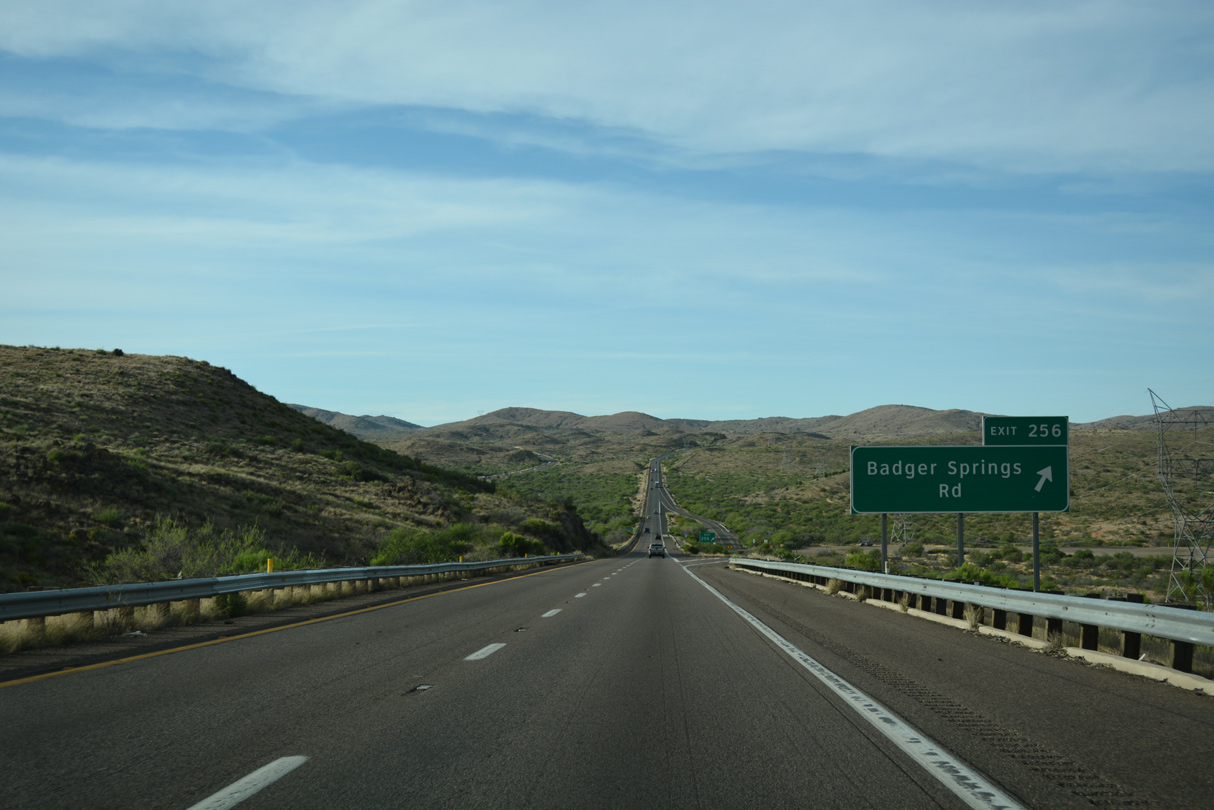
Badger Springs Road leads east into Agua Fria National Monument.
04/26/17
04/26/17
Interstate 17 continues north adjacent to Badger Spring Wash.
04/26/17
04/26/17
04/26/17
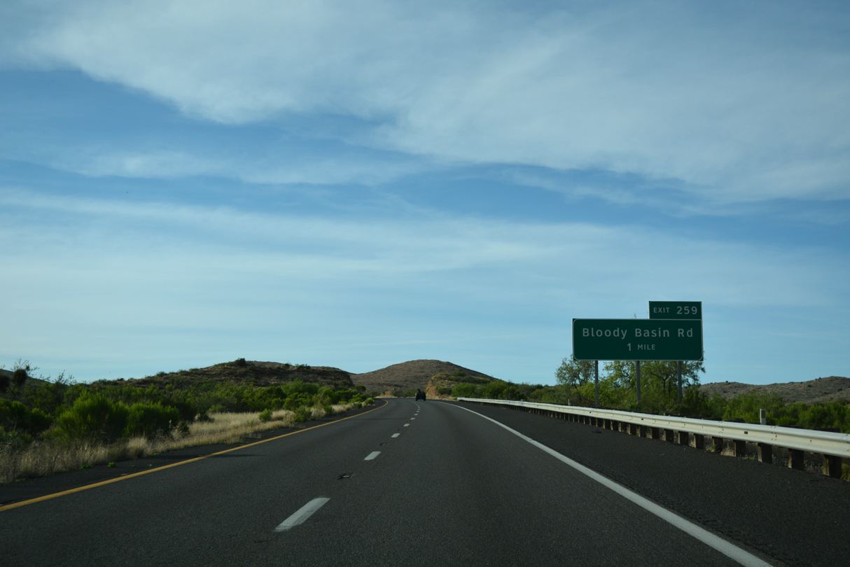
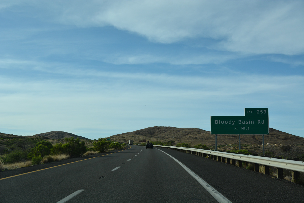
A diamond interchange links Interstate 17 with Bloody Basin Road at Exit 259 in one mile.
04/26/17
04/26/17
04/26/17
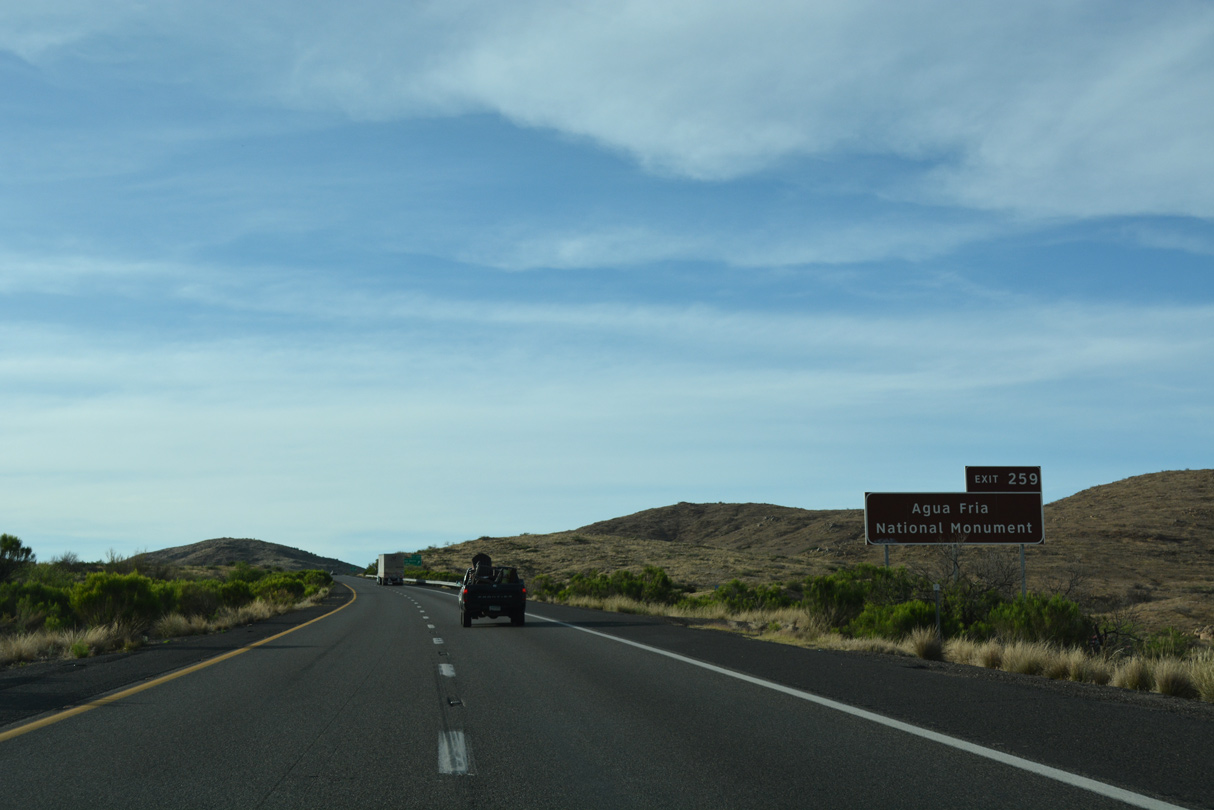
Agua Fria National Monument constitutes the Agua Fria River, which parallels Interstate 17 between Rock Springs and Cordes Junction. Passing through a deep canyon, the Agua Fria River offers hiking and camping opportunities.
04/26/17
04/26/17
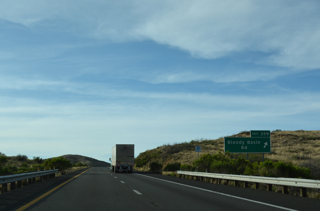
Bloody Basin Road meanders northwest past Cordes Peak to Old SR 69 (Antelope Creek Road) in Cordes and east into Agua Fria National Monument.
04/26/17
04/26/17
Shifting northeast around 3,800 feet above sea level, Interstate 17 proceeds next to the community of Cordes Lake.
04/26/17
04/26/17
Prior to the establishment of Interstate 17, the entire route from Phoenix to Cordes Junction was part of a much longer SR 69. SR 69 was truncated south of Cordes Junction once I-17 was completed.
04/26/17
04/26/17
SR 69 leads northwest to Prescott as a four lane, divided highway. It passes through Mayer, Humboldt and Dewey en route to the Yavapai County Seat.
04/26/17
04/26/17
Located in the mountains, Prescott is a resort community and a gateway to the national forests of central Arizona.
04/26/17
04/26/17
State Route 69 travels 34.13 miles northwest to SR 89 (Gurley Street) in Prescott.
04/26/17
04/26/17
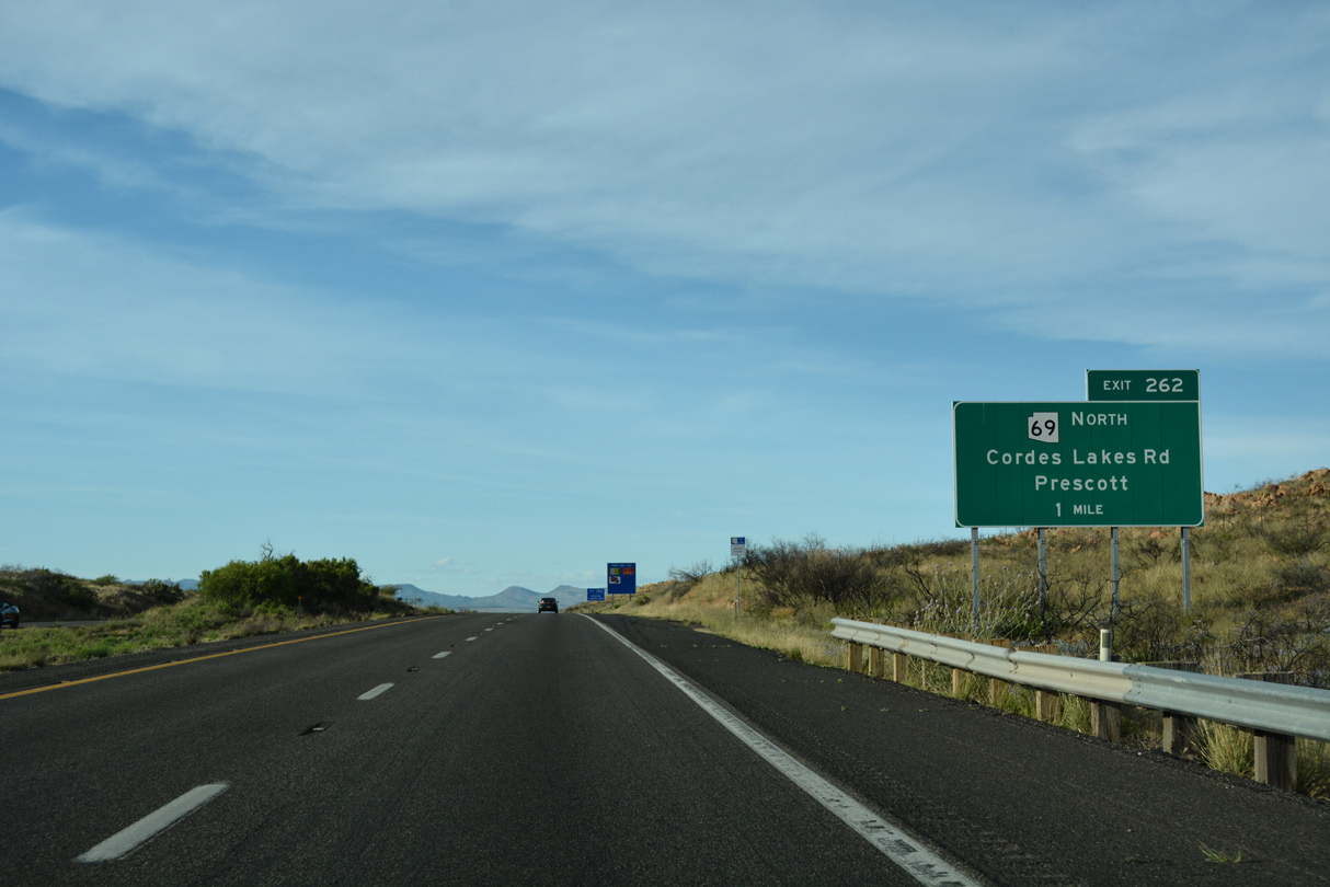
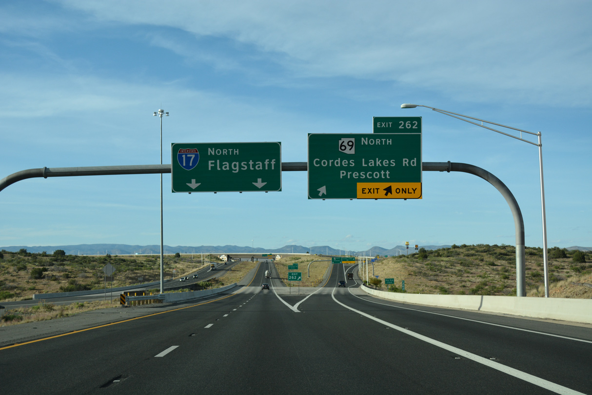
Exit 262 partitions with a separate ramp to a roundabout at adjacent Cordes Lake Road. Cordes Lake Road links with Stagecoach Trail south into Cordes Lake.
04/26/17
04/26/17
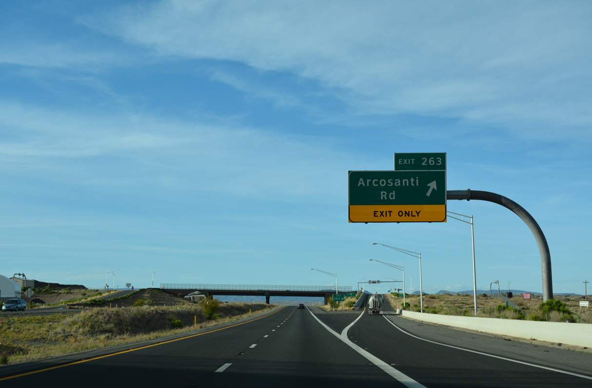
Arcosanti is a pilot project of architect Paolo Soleri, who created a model of urban living in a walkable community setting with a focus on architecture and ecology. The information center is located east of Cordes Junction, where tours are available.
04/26/17
04/26/17
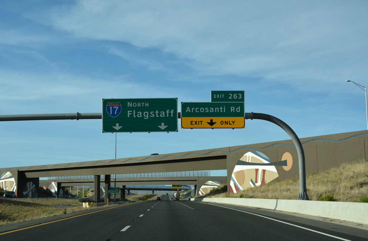
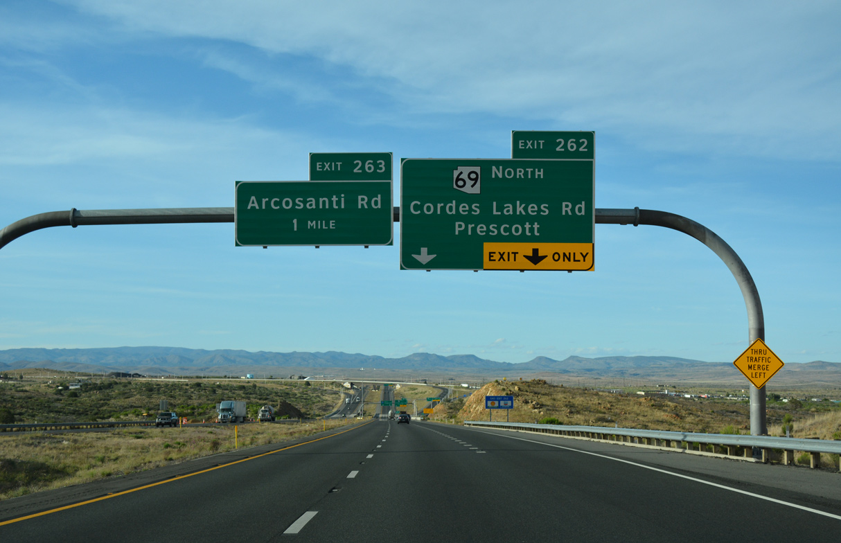
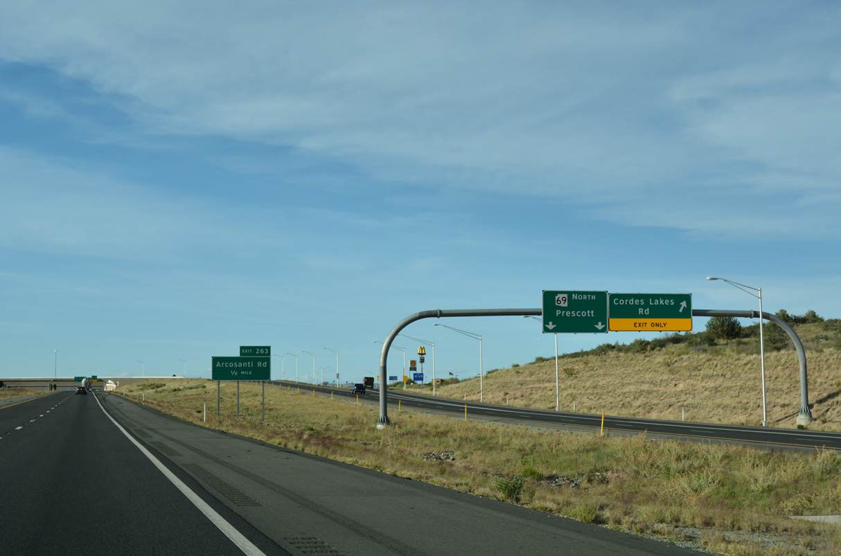
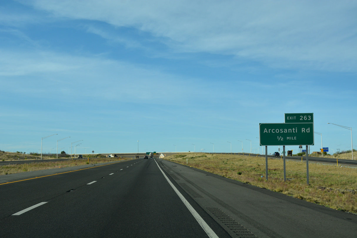
2011-12 construction rebuilt the cloverleaf at Cordes Junction into a separate wye interchange (Exit 262) for SR 69 north and diamond interchange (Exit 263) for Arcosanti Road.
04/26/17
04/26/17
Arcosanti Road connects with SR 69 at Cordes Lakes Road to the west and Stagecoast Trail south and Cross L Road north to the east.
04/26/17
04/26/17


Photo Credits:
- ABRoads: 04/26/17
Page Updated Thursday April 21, 2022.