
Interstate 17
I-17 is one of the three north to south Interstate highways in Arizona, and one of the two Interstate highways to never leave the state. The freeway connects the low desert of Phoenix and the Vally of the Sun with the high mountains of Flagstaff, providing a relatively quick route between the two cities.
Interstate 17 Guides
North
Phoenix - Downtown to North Mountain Village - 67 photos
Phoenix - Deer Valley to Anthem - 66 photos

New River to Cordes Lakes - 64 photos
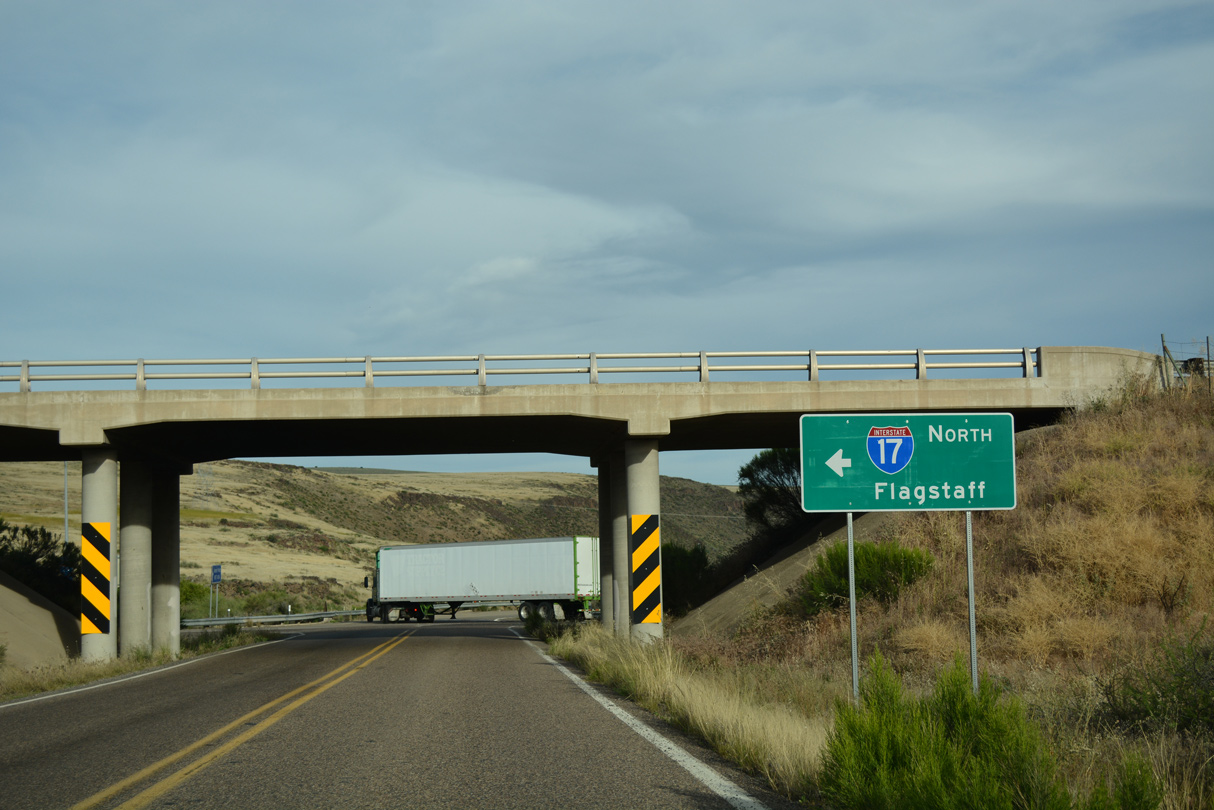
Spring Valley to Camp Verde - 69 photos
Munds Park to Flagstaff - 68 photos
South
Flagstaff to Munds Park - 32 photos
Camp Verde to Spring Valley - 26 photos

Cordes Lakes to New River - 35 photos
Phoenix - Anthem to Deer Valley - 36 photos
Phoenix - North Mountain Village to Downtown - 73 photos
The history of Interstate 17 is tied into the route it replaced - Arizona State Route 69. In the 1930s, traffic planners realized the need for a faster route between Phoenix and Prescott. At the time, traffic had to take U.S. 89, which was somewhat out of the way.
A new route ascending through Black Canyon, designated State Route 69, was added to the state highway system in 1936 and appearing on maps in 1938. The road was completed by 1940 to Prescott, and paved progressively up to Prescott.
In the 1950s, a new route was needed to Flagstaff, as U.S. 89A was restricted due to the grade out of Oak Creek Canyon. This was designated in 1954, and numbered Arizona State Route 79 (recycling the original number from the road through Oak Creek Canyon).
A route was subsequently designated from Phoenix to Flagstaff as part of the Interstate Highway system. This route became Interstate 17.
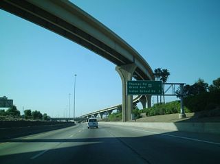
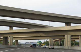
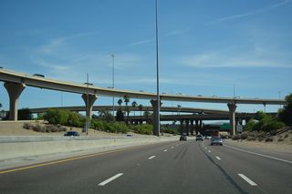
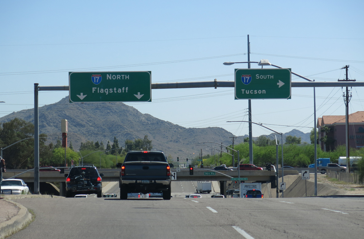
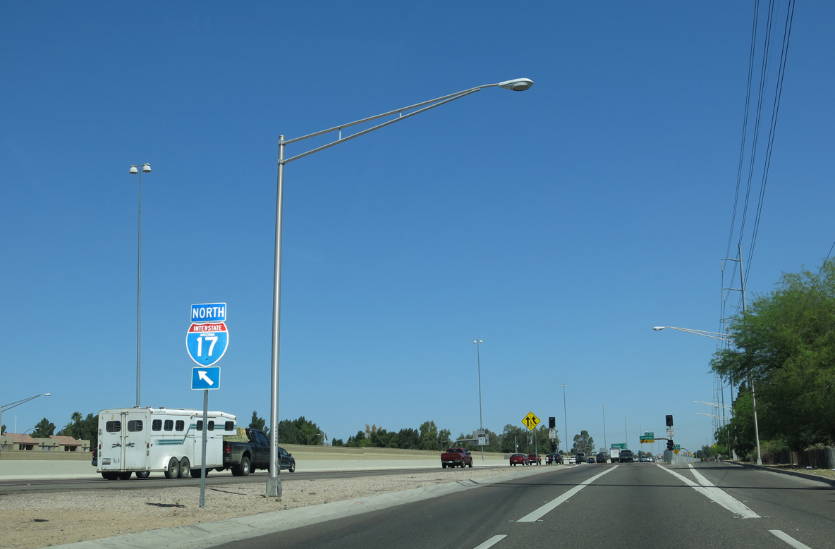
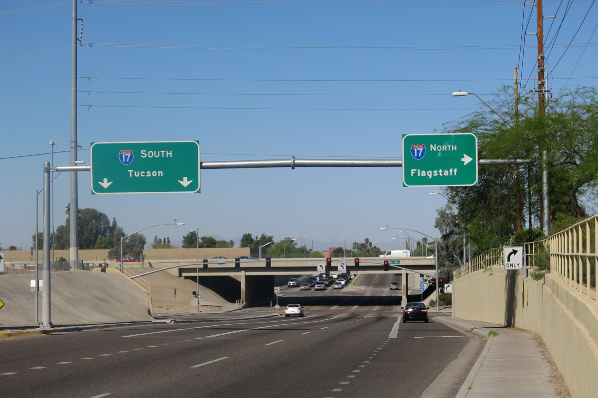
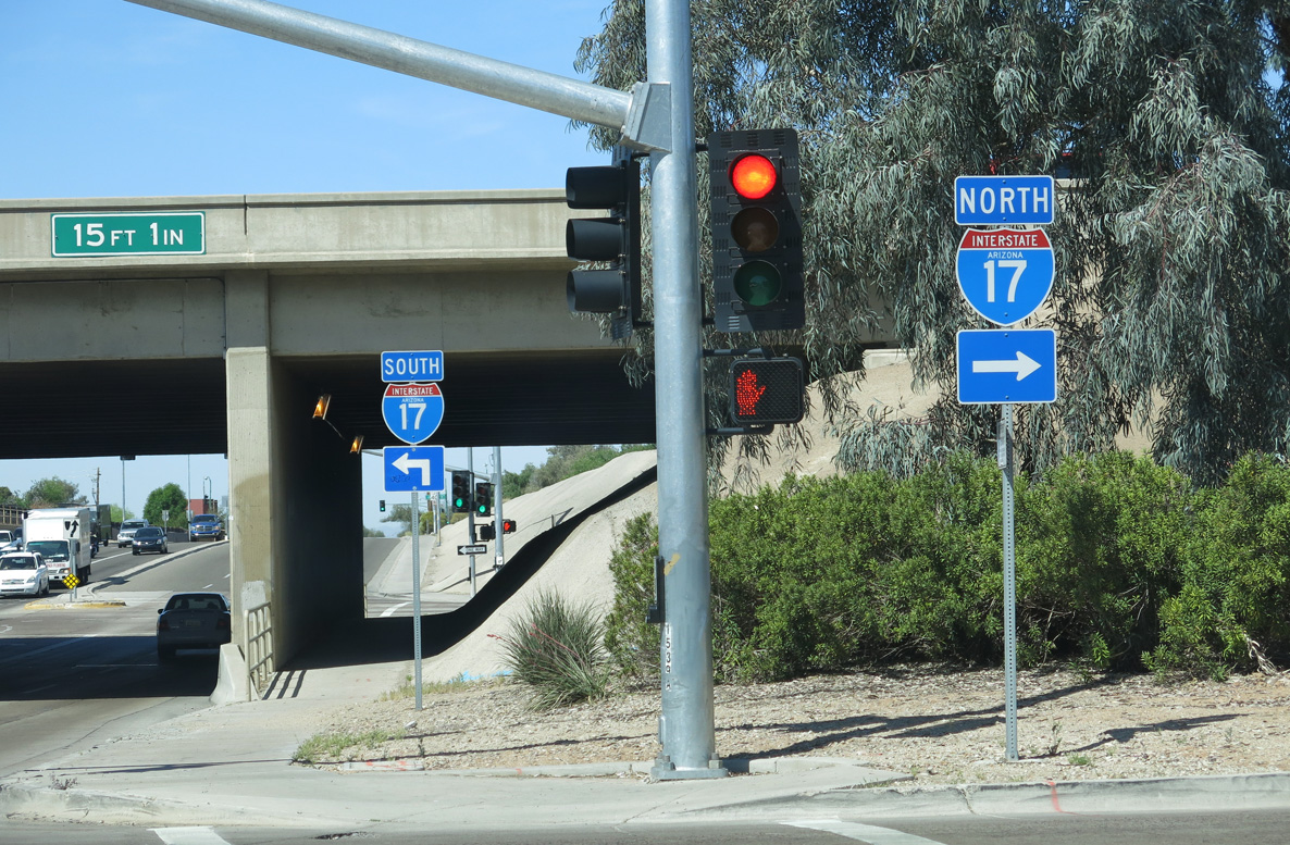
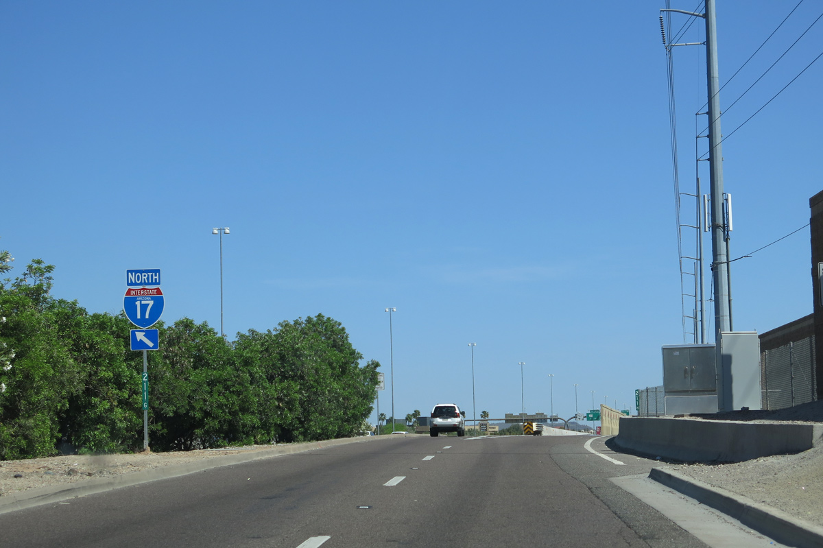
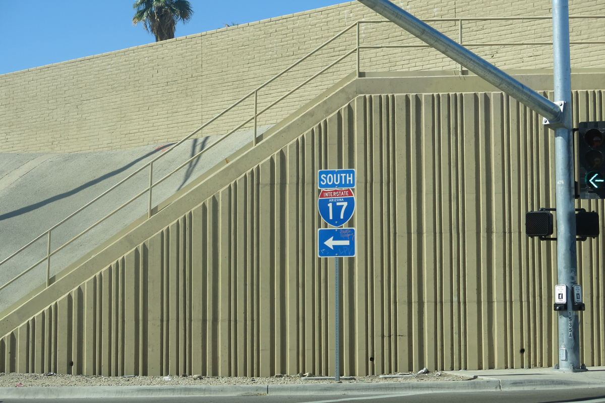
Interstate 17 begins near Sky Harbor International Airport (PHX) at I-10/U.S. 60. Traveling west and north around Downtown Phoenix, I-17 forms the west and south legs of the "inner loop". Meeting Interstate 10 again along the Black Canyon Freeway at the Stack interchange, I-17 continues north roughly along 25th Avenue, transitioning to an alignment along 27th Avenue at Dunlap Avenue. Advancing further north, the freeway converges with Loop 101 (Agua Fria Freeway / Pima Freeway) and SR 74 as it continues toward the suburb of Anthem.
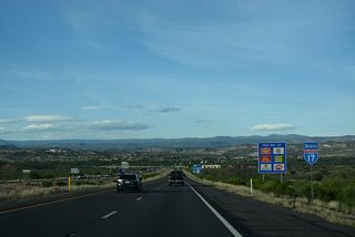
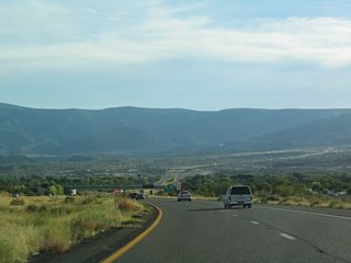
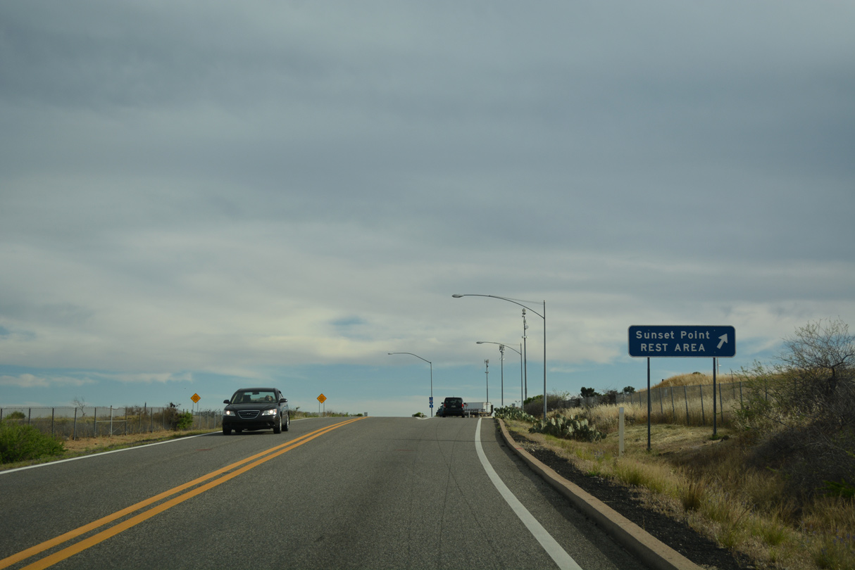
Beyond Anthem, Interstate 17 finally leaves the Phoenix Metropolitan Area, reaching the towns of New River and Black Canyon City before leaving the low desert and climbing quickly by the ghost town of Bumble Bee to Black Mesa. At the edge of the mesa is the Sunset Point rest area. The freeway stays fairly level at around 3,500 feet elevation until passing Cordes Junction, where SR 69 branches off.
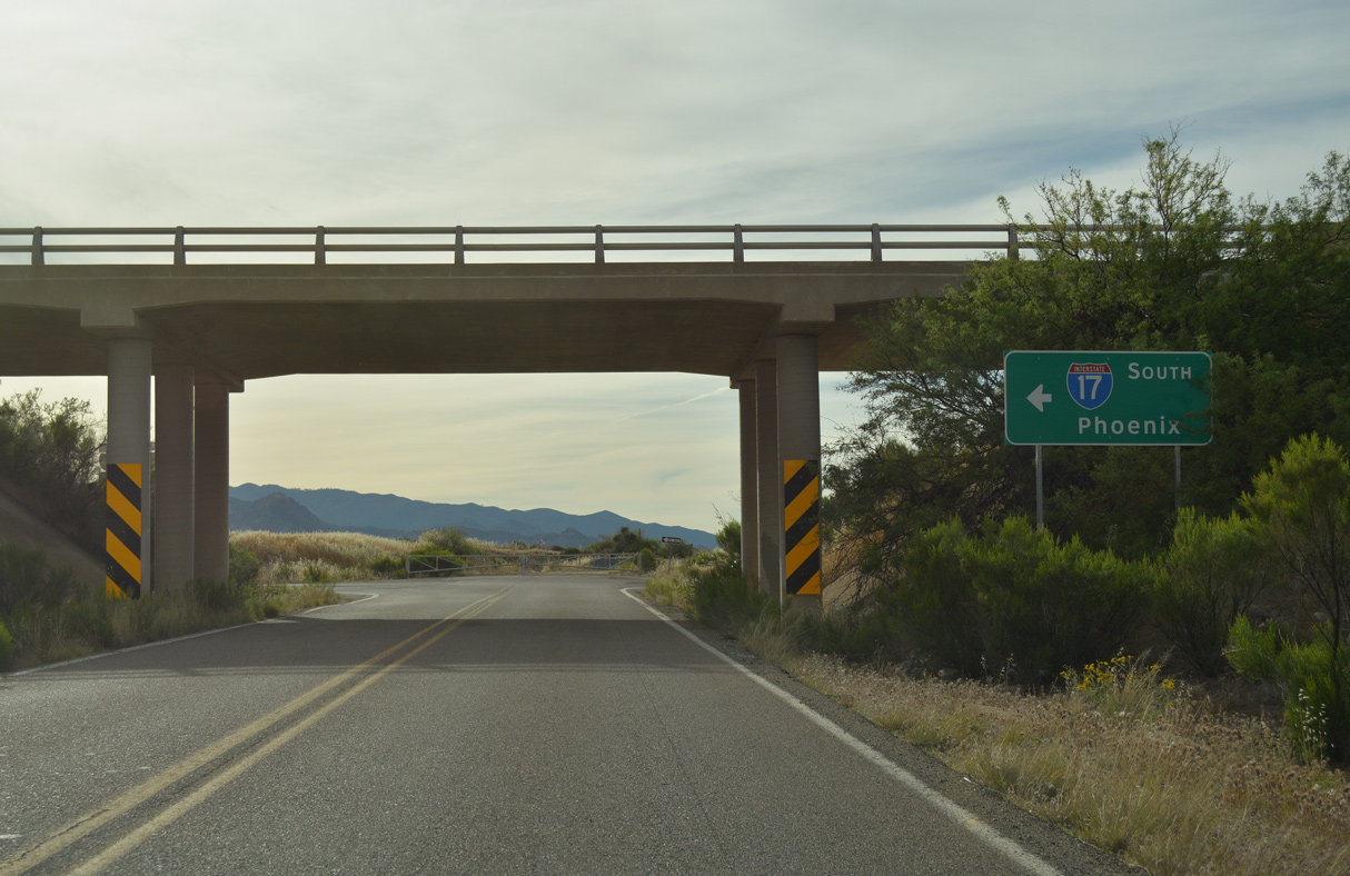
Advancing from Cordes Junction, Interstate 17 travels north and drops down into the Verde Valley to reach the town of Camp Verde. Leaving Camp Verde, Interstate 17 passes the road to Montezuma Castle National Monument and Montezuma Well National Monument, before meeting SR 179 to Sedona.
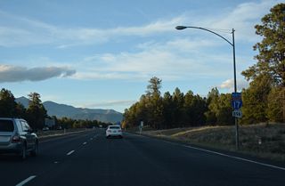
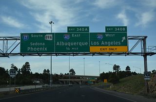
Passing SR 179, Interstate 17 starts climbing again in earnest to reach 6,500 feet in elevation at Munds Park. After passing Flagstaff Airport, I-17 connects with Interstate 40 alongside SR 89A in south Flagstaff.
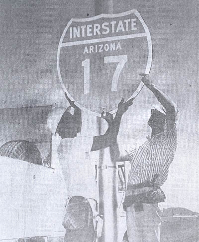
Interstate 17 sign being mounted, 1965. (Courtesy Phoenix Public Library Archives)
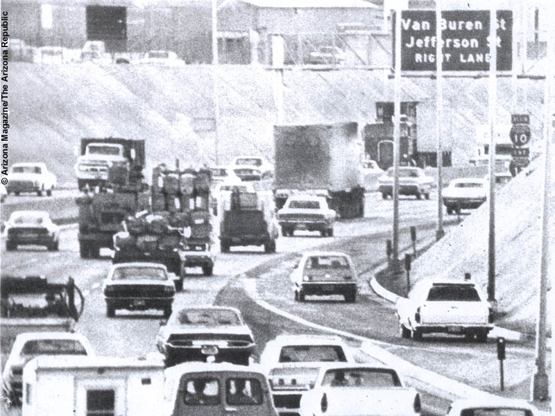
Interstate 17 in 1973 at McDowell Road, and where I-17 used to end and I-10 began. Photo by Arizona Magazine / Arizona Republic.
I-17 between I-10 (24th Street) and the Durango Curve (22nd Avenue) was originally part of Interstate 10. This section of freeway was incorporated into Interstate 17 when I-10 was realigned.
From Cordes Junction to Flagstaff, significant portions of Interstate 17 were originally constructed as a two lane freeway, with the other two lanes added later. The entire freeway was completed by 1978.
The mileposts on Interstate 17 begin at Milepost 194. I-17's mileposts are derived from State Route 69, which began at mile 201 of U.S. 89 originally, which is where the Grand Avenue overpass along Interstate 17 is today. Since Interstate 19's mileposts also correspond to U.S. 89's milepost system, it led to some speculation that I-17 and I-19 were supposed to be one freeway. However this was never in state highway system plans.
Construction History
- 1965: Miles 194-195 (I-10 interchange to 16th street, reconstructed 1988)
- 1963: Miles 195-201 (16th Street to Grand Avenue)
- 1958: Miles 201-202 (Grand Avenue to Thomas Road)
- 1960: Miles 202-205 (Thomas Road to Glendale Road)
- 1961: Miles 205-207 (Glendale Road to Dunlap Avenue)
- 1965: Miles 207-219 (Dunlap Avenue to Skunk Creek)
- 1964: Miles 219-224 (Skunk Creek to Carefree Hwy/SR 74)
- 1967: Miles 224-232 (Carefree Hwy/SR 74 to South of New River)
- 1968: Miles 232-237 (New Rier Bridge and Bypass)
- 1967: Miles 237-243 (North of New River to Black Canyon City)
- 1964: Miles 243-246 (Black Canyon City bypass)
- 1968: Miles 246-253 (Black Canyon City to Sunset Point)
- 1964: Miles 253-269 (Sunset Point to Dugas Rd/Orme Rd)
- 1971: Miles 269-279 (Dugas/Orme Rd to SR 169)
- 1978: Miles 279-293 (SR 169 to Cornville Road)
- 1966: Miles 293-340 (Cornville Road to Interstate 40, constructed from Mile 298-337 as two lane freeway)
- 1974: Miles 298-312 (Converted to four lanes)
- 1976: Miles 312-337 (Converted to four lanes)
Years noted are dates that the sections opened. In the case of the freeway north of Thomas Road, this is when SR 69 was turned into a limited access freeway.
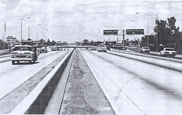
Interstate 17 at the Bethany Home Road exit in 1968.
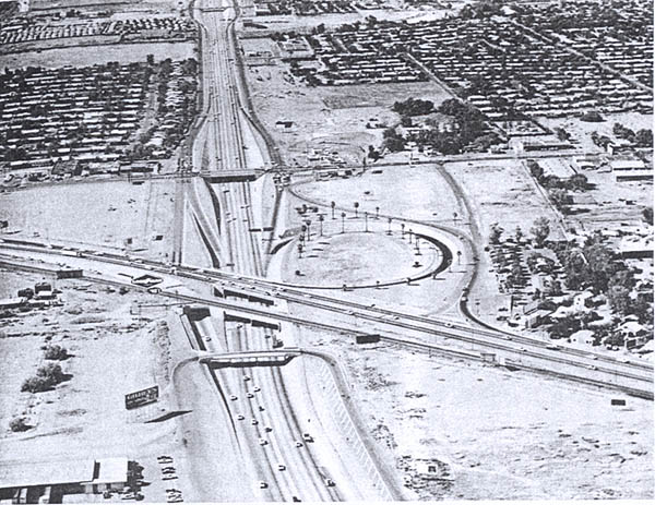
1968 aerial photo of the interchange connecting Interstate 17 with Grand Avenue (U.S. 60) in Phoenix.
The section from Miles 293-340 was constructed as State Route 79, and converted to a limited access highway before completion. The majority of this section (miles 298-337) was constructed as a two lane limited access freeway. Dates are included for when the additional lanes were added to the freeway.

Business Loops
The lone business route from I-17 was the decommissioned loop that followed former SR 69 through Black Canyon City.
 scenes
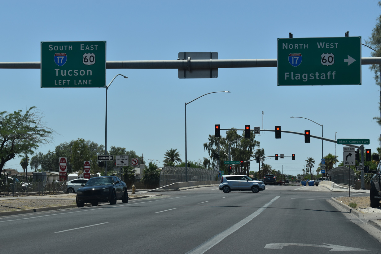
Adams Street west at the Black Canyon Freeway service road system above I-17/U.S. 60 in Phoenix.
05/31/21
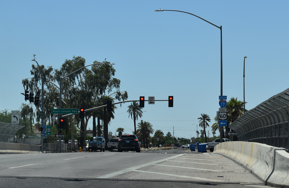
Exit and entrance ramps along Interstate 17 utilize the Black Canyon Freeway service road system south to the Durango Curve and north throughout Phoenix.
05/31/21

I-17/U.S. 60 travel below grade north from the entrance ramp at Adams Street to The Stack interchange with Interstate 10.
05/31/21

The entrance ramp from Dunlap Avenue for Interstate 17 north departs from Black Canyon Highway just beyond Arizona Canal.
04/05/13
Peoria Avenue meets Interstate 17 northeast of Metrocenter in Phoenix.
04/05/13
Black Canyon Highway connects Peoria Avenue with Interstate 17 northbound at this two lane slip ramp.
04/05/13
Greenway Road advances west from between the Ponderosa Homes North and Canyon Creek Deer Valley subdivisions to a diamond interchange with Interstate 17.
04/05/13
Greenway Road drops below grade between two hotels to the exchange with I-17 at Black Canyon Highway.
04/05/13
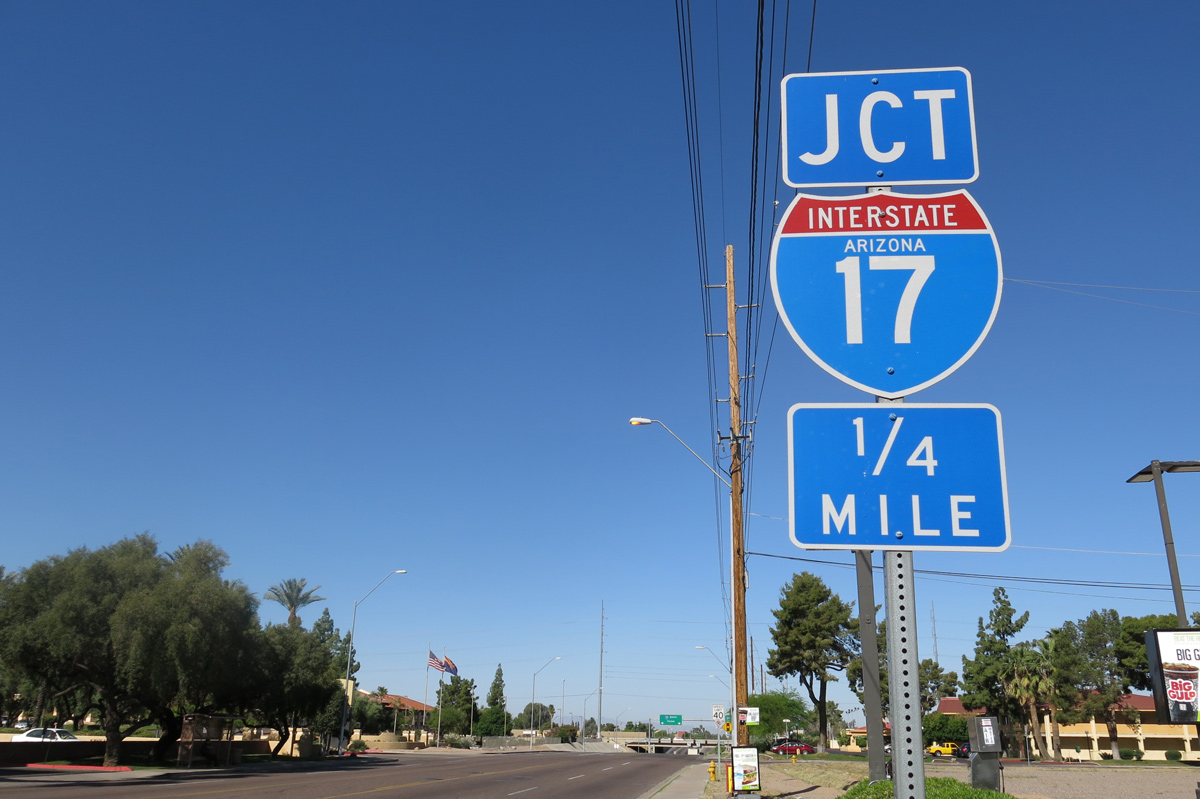
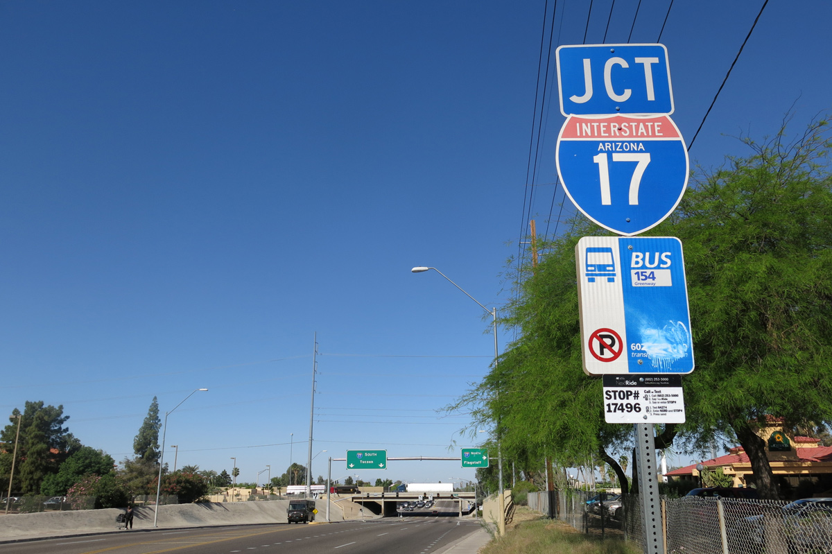
A heavily traveled commuter route, Interstate 17 (Black Canyon Freeway) extends north through Phoenix to Anthem and south to Downtown.
04/05/13
Greenway Road meets Interstate 17 west between the Deer Valley and North Phoenix neighborhoods.
04/06/13
Black Canyon Highway north at the entrance ramp linking Greenway Road with Interstate 17.
04/06/13
The entrance ramp for I-17 south from Greenway Road utilizes Black Canyon Highway.
04/05/13
Sunset Path connects the diamond interchange at Exit 252 with the Sunset Point Rest Area along Interstate 17.
04/26/17
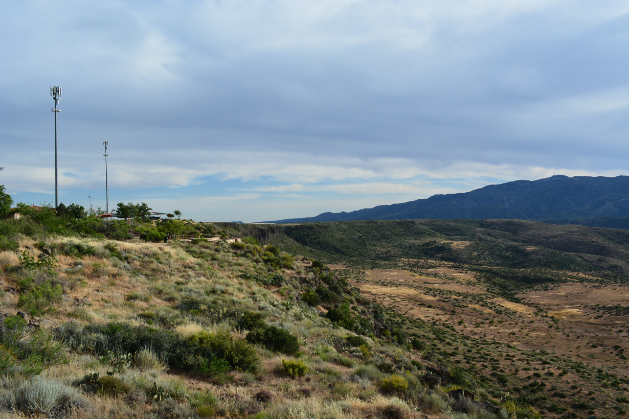
The entrance ramp for I-17 south to Phoenix departs directly from the Sunset Point Rest Area.
04/26/17
Sunset Path north at the exchange with Interstate 17.
04/26/17
A local access road ties into Sunset Path at Interstate 17 from the west.
04/26/17
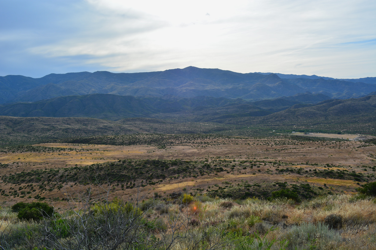
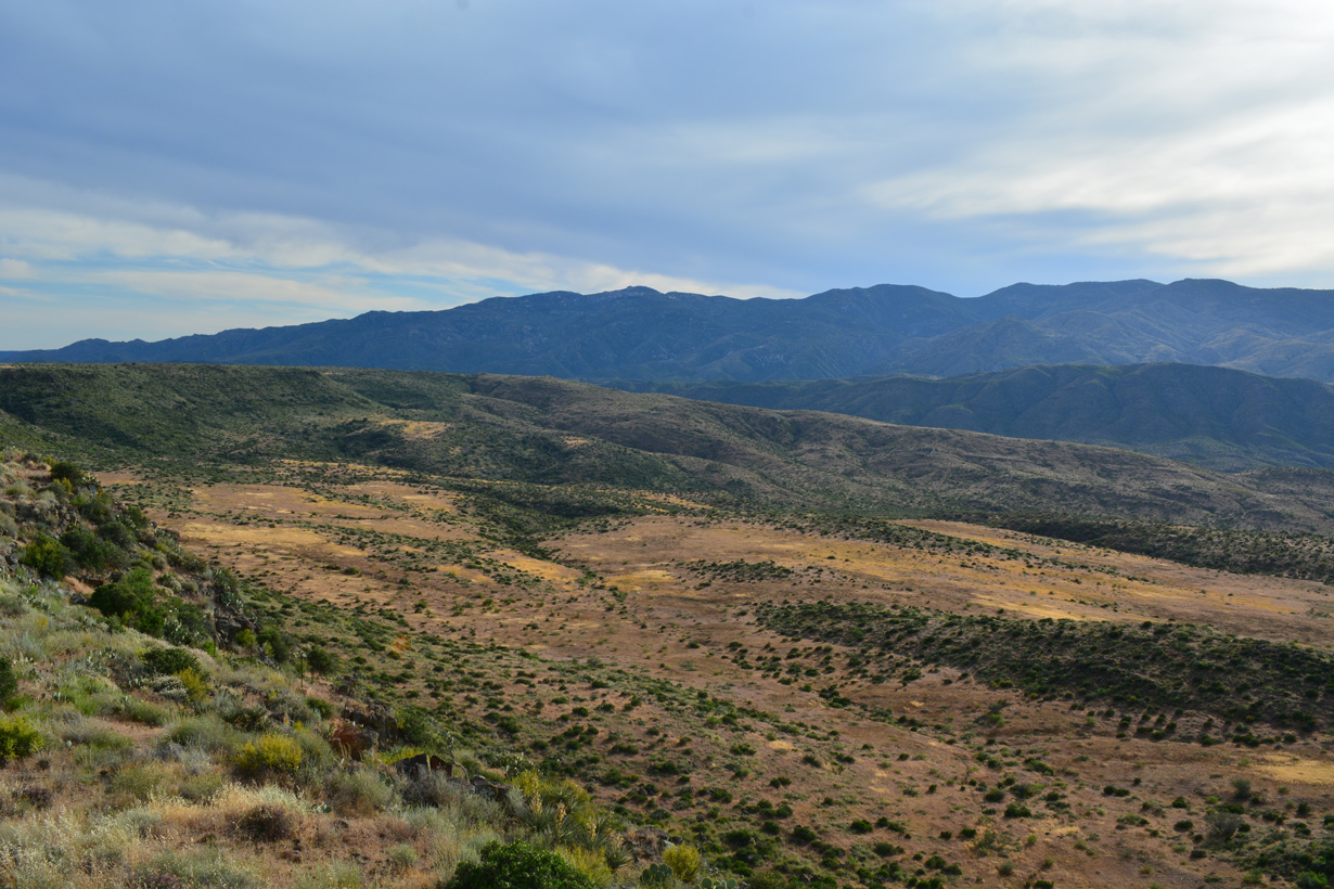
Interstate 17 continues north along Black Mesa from Sunset Path to Cordes Lakes and Spring Valley.
04/26/17
Photo Credits:
- Andy Field: 04/05/13, 04/06/13, 05/31/21
- ABRoads: 04/05/13, 04/26/17
Connect with:
Page Updated Monday April 25, 2022.