
Interstate 20 East - Birmingham to Pell City

 East
East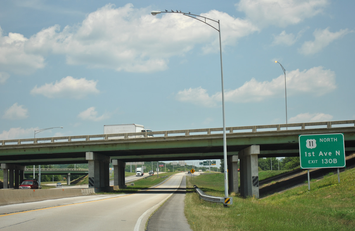
Looping from Interstate 59 south onto Interstate 20, drivers must quickly move to the right for the upcoming Exit 130B off-ramp to U.S. 11 (1st Avenue North) north.
06/25/12
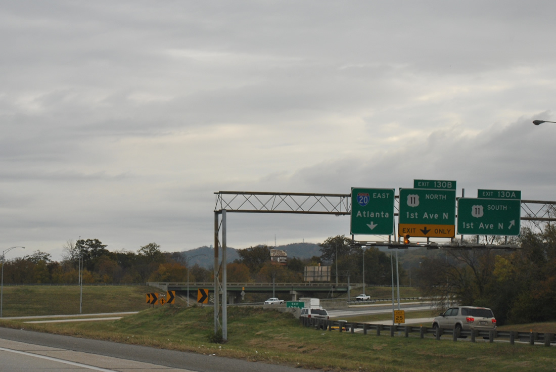
1st Avenue North meets Interstate 20 east of the Woodlawn neighborhood of Birmingham. Exit 130A departs for U.S. 11 south solely for motorists splitting from Interstate 59 north.
11/03/11
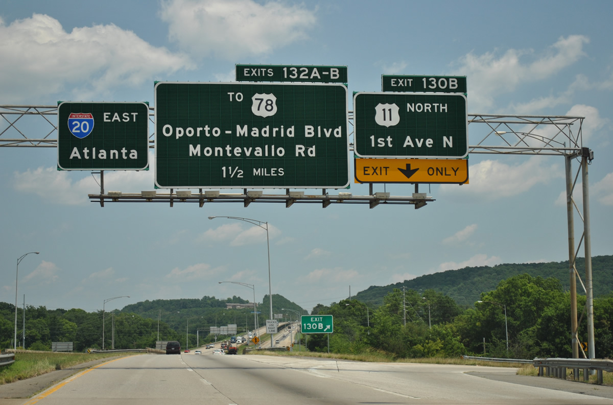
Exit 130B loops onto U.S. 11 (1st Avenue North) north to the Wahouma community of Birmingham.
06/25/12
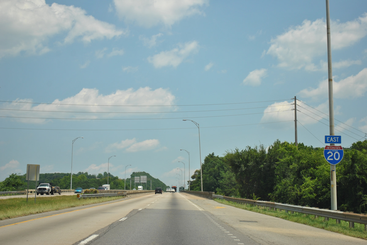
Interstate 20 reassurance marker posted at Oak Ridge Park ahead of a long viaduct spanning Georgia Road, Brussels Avenue, two Norfolk Southern Railroad lines and the Alabama and Tennessee River Railway.
06/25/12
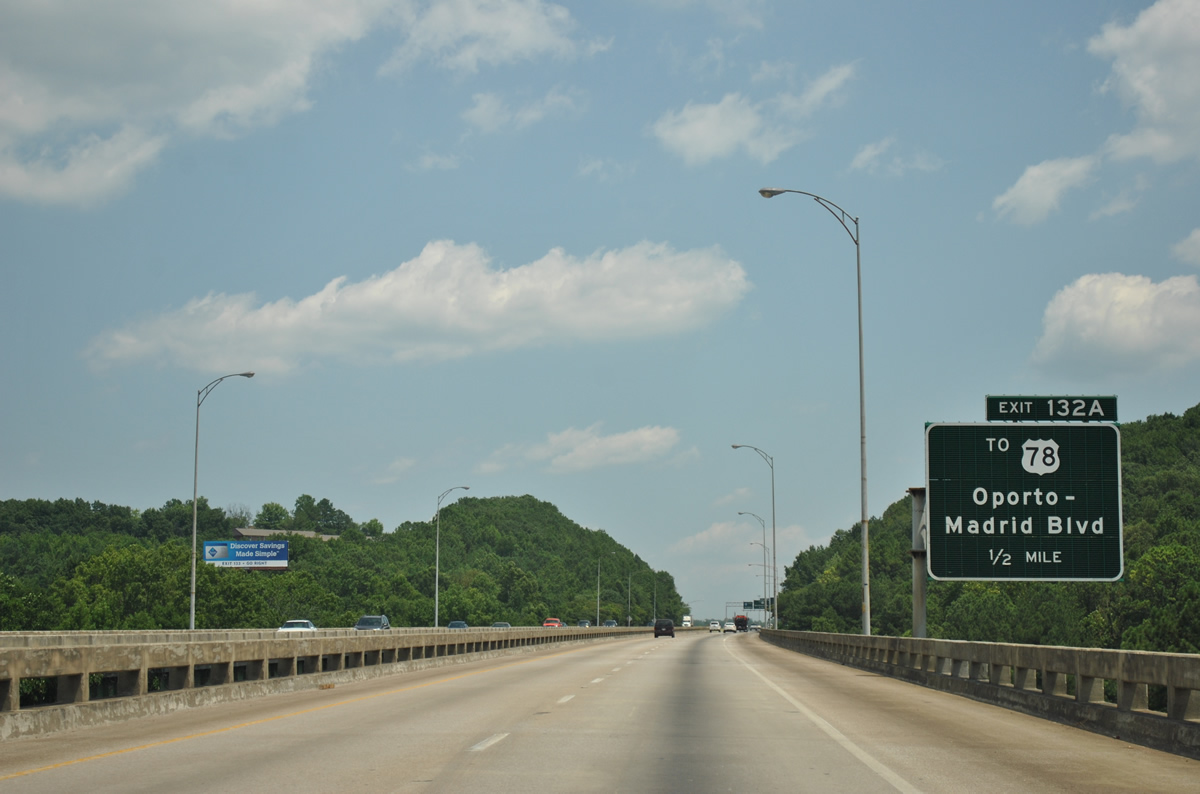
Oporto-Madrid Boulevard meets Interstate 20 east of the viaduct at the Eastwood neighborhood of Birmingham. The north-south arterial travels north across Red Gap to become Madrid Avenue through the Gate City community.
06/25/12

Interstate 20 crests over Red Mountain and partitions with a two lane off-ramp (Exit 132A) to Oporto-Madrid Boulevard. U.S. 78 (Crestwood Boulevard) parallels the freeway from Woodlawn Heights east to a retail area at Oporto-Madrid Boulevard.
06/25/12
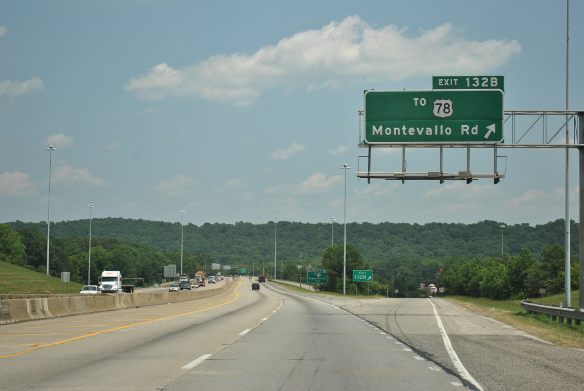
A slip ramp joins the collector distributor roadway from Oporto-Madrid Boulevard into the diamond interchange with Montevallo Road. Montevallo Road loops southwest from 16th Street South to intersect U.S. 78 (Crestwood Boulevard) at Shades Valley. The surface road continues beyond U.S. 78 to Springdale and Crestline Gardens.
06/25/12
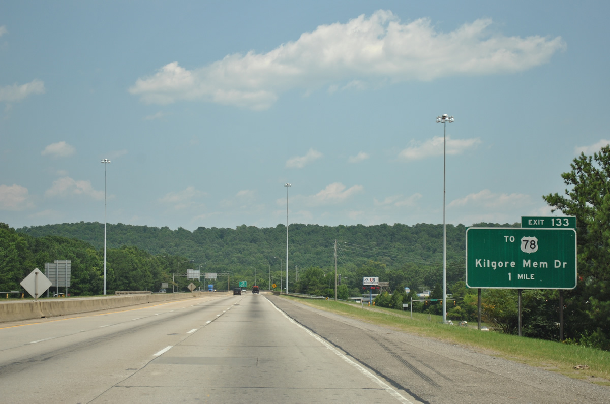
Interstate 20 and U.S. 78 (Crestwood Boulevard) shift sides as both enter the city of Irondale. Exit 133 joins the freeway with Kilgore Memorial Drive adjacent to U.S. 78 in one mile.
06/25/12
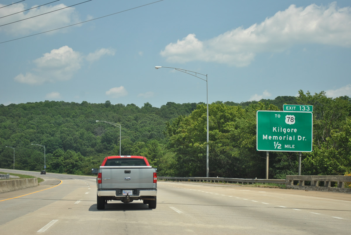
A viaduct carries eastbound motorists over both U.S. 78 (Crestwood Boulevard) and Montclair Road as Interstate 20 lines the north slope of Shades Mountain. A parclo interchange follows with Kilgore Memorial Drive between the Irondale city center and East Irondale.
06/25/12
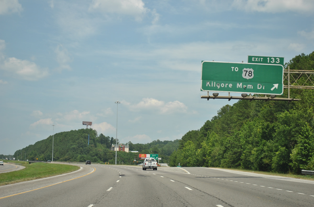
Exit 20 departs Interstate 20 east. Kilgore Memorial Drive connects 20th Street South and U.S. 78 (Crestwood Boulevard) with Grants Mill Road across Shades Mountain.
06/25/12
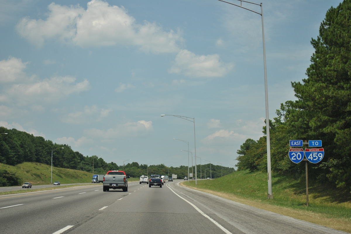
Interstate 20 veers eastward over Shades Mountain on the approach to Interstate 459.
06/25/12

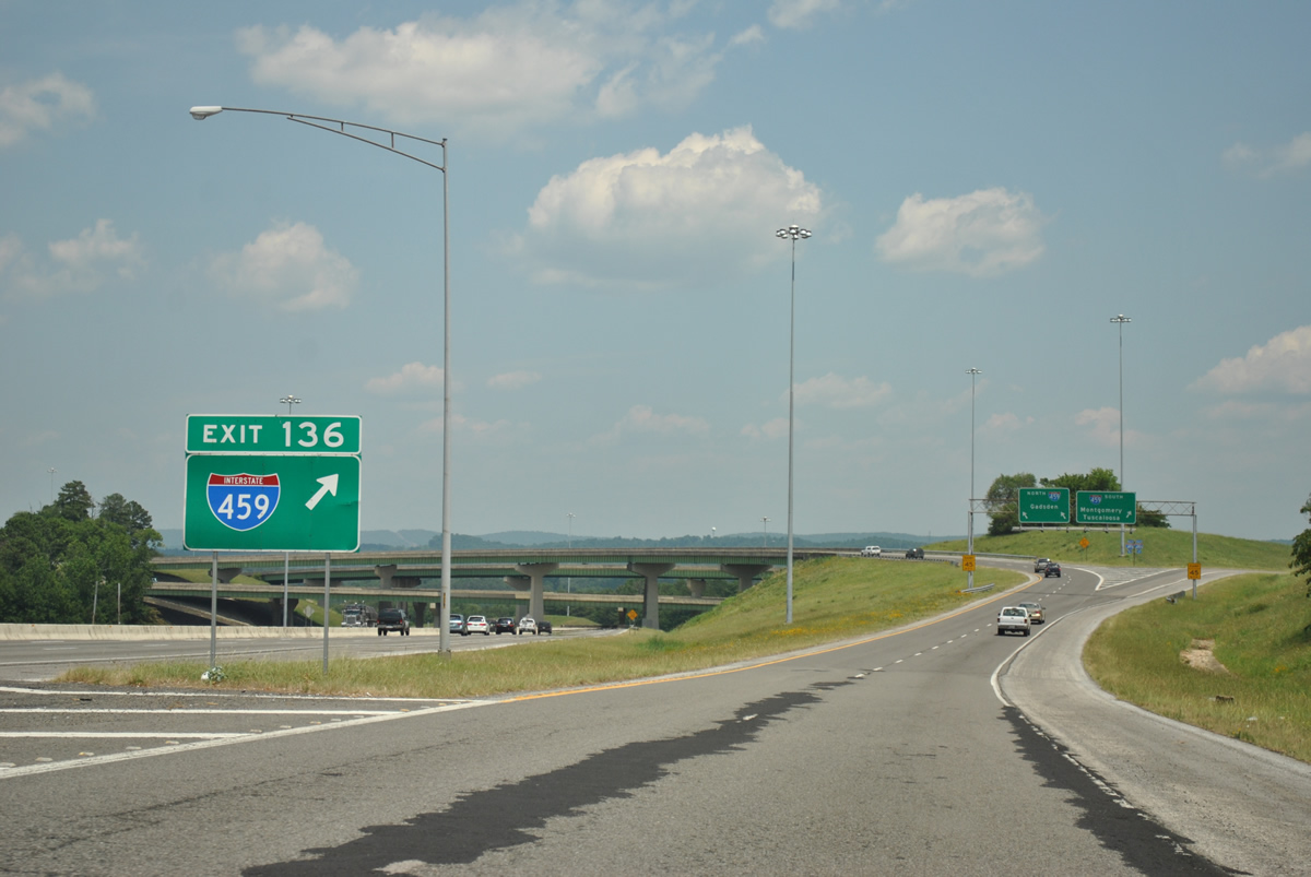
A four level interchange (Exit 136) connects I-20 east with Interstate 459 in two miles at Jefferson Park in east Irondale.
06/25/12
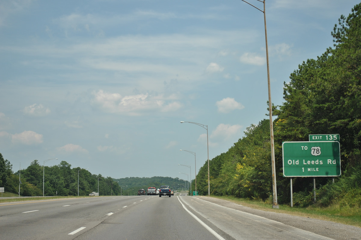
Old Leeds Road connects Interstate 20 with parallel U.S. 78 (Crestwood Boulevard) at Rose Hill and Grantswood Road east to Jefferson Park via Exit 135.
06/25/12
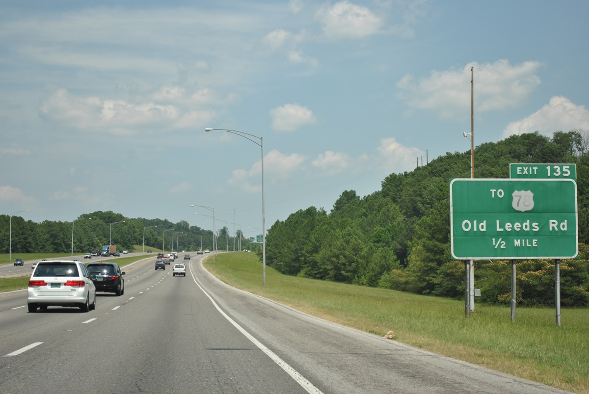
One half mile west of the Exit 135 diamond interchange with Old Leeds Road. Interstate 20 and U.S. 78 east travel through Weems Gap.
06/25/12
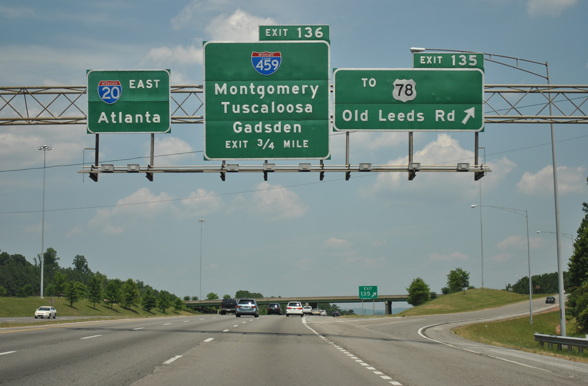
Exit 135 parts ways with Interstate 20 east for Old Leeds Road. Old Leeds Road follows Flat Ridge southwest to East Irondale and the city of Mountain Brook.
Exit 136 follows for Interstate 459 north to Gadsden (via I-59 north) and south to Montgomery (via I-65 south) and Tuscaloosa (via I-20 west / 59 south).
06/25/12
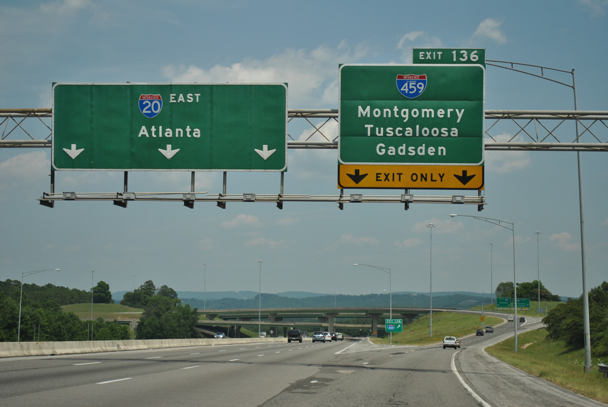
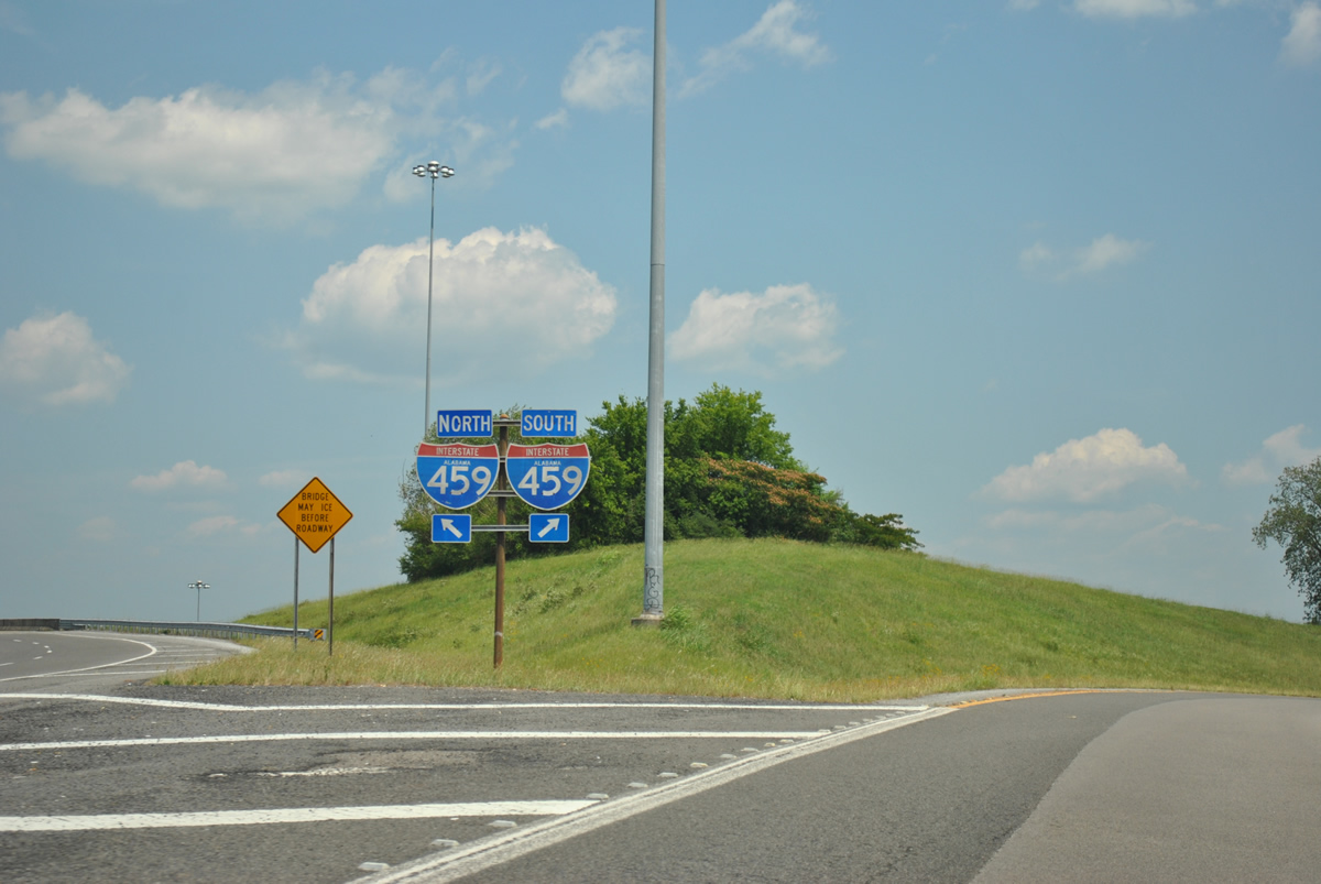
All traffic bound for Interstate 459 departs Interstate 20 eastbound in unison via the two lane Exit 136. Interstate 459 concludes three miles to the north near Trussville and meets Interstate 65, 14 miles to the southwest at Hoover.
06/25/12
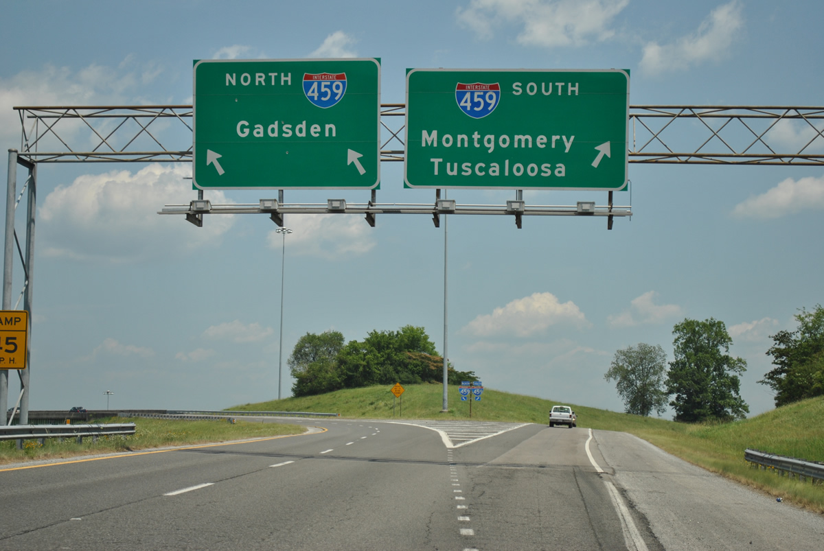
Exit 136 splits into a single lane ramp for Interstate 459 south to Mountain Brook and Bessemer and a two lane ramp for northbound to Alton and northeast Birmingham.
06/25/12
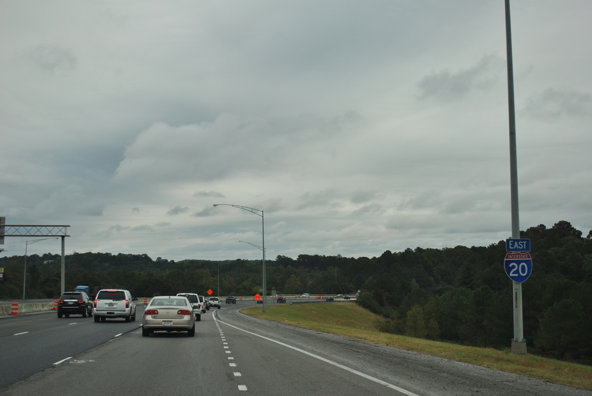
Interstate 20 winds eastward from Irondale to Leeds with U.S. 78 remaining close by to the north as Atlanta is 142 miles away.
10/07/12
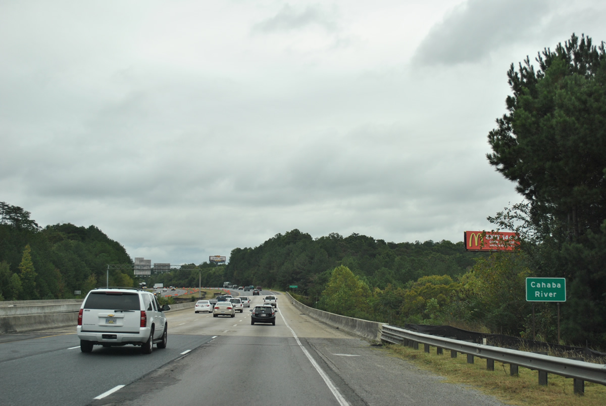
Interstate 20 spans the Cahaba River on a pair of bridges completed in 1984.
10/07/12
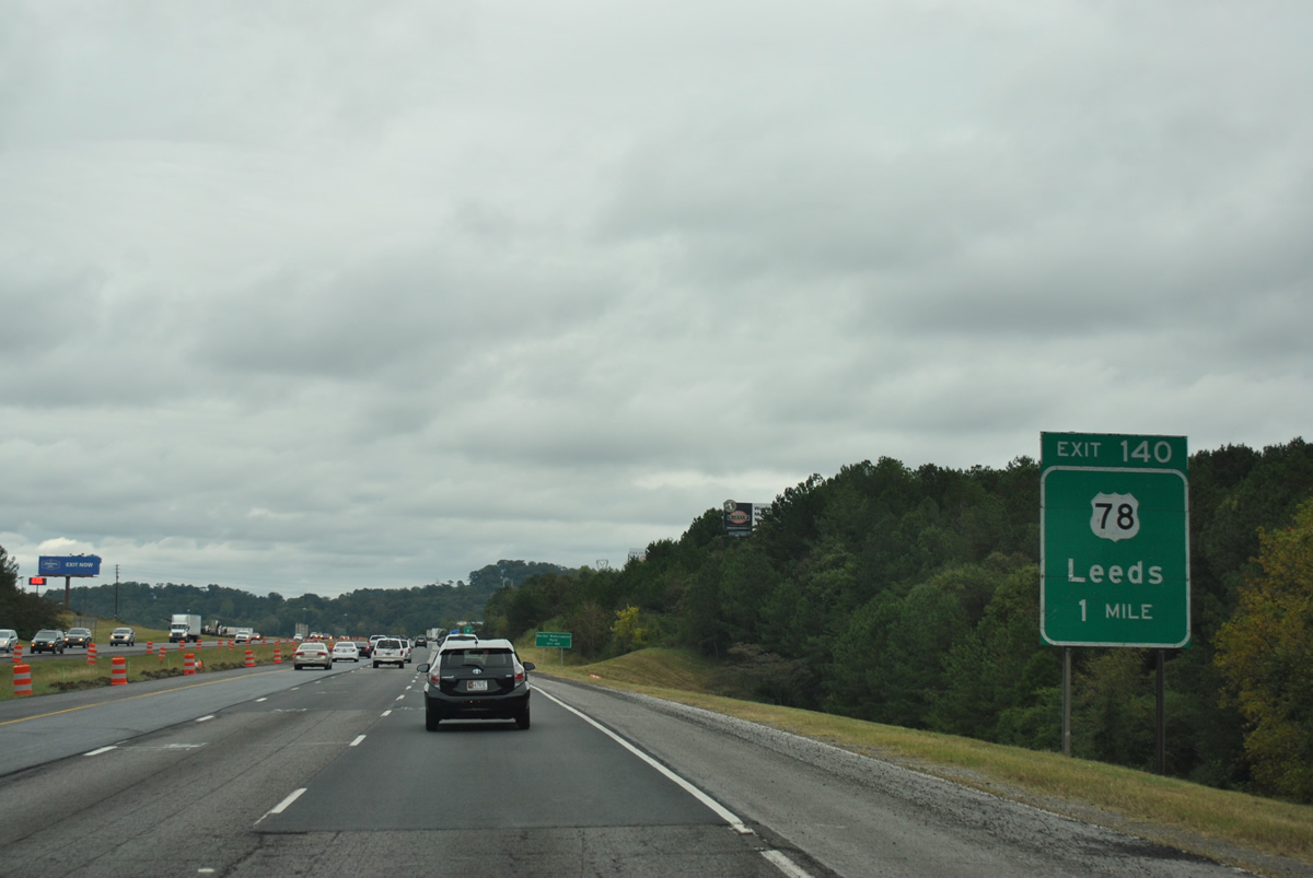
U.S. 78 (Bankhead Highway) meets Interstate 20 directly at a parclo interchange (Exit 140) in one mile.
10/07/12
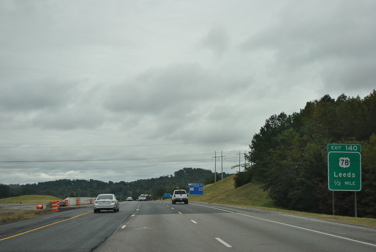
U.S. 78 leaves Irondale near Lovick in Birmingham before entering Leeds ahead of Scott City. Parkway Drive carries the US route 2.83 miles east from Exit 140 to SR 119 (Montevallo Road) at downtown Leeds.
10/07/12
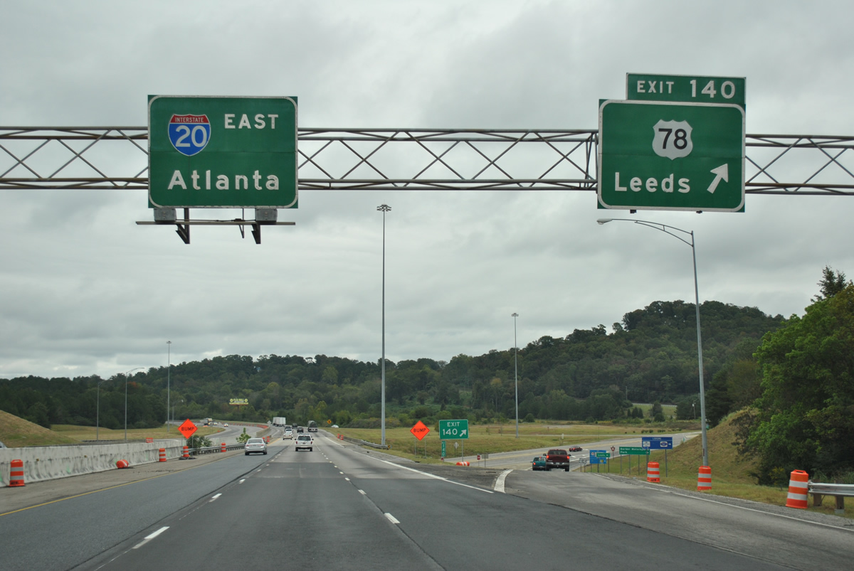
Older button copy overheads posted at the Exit 140 ramp departure of Interstate 20 eastbound. Rex Lake Road stems south from U.S. 78 (Parkway Drive) nearby to Barber Motorsports Park.
10/07/12
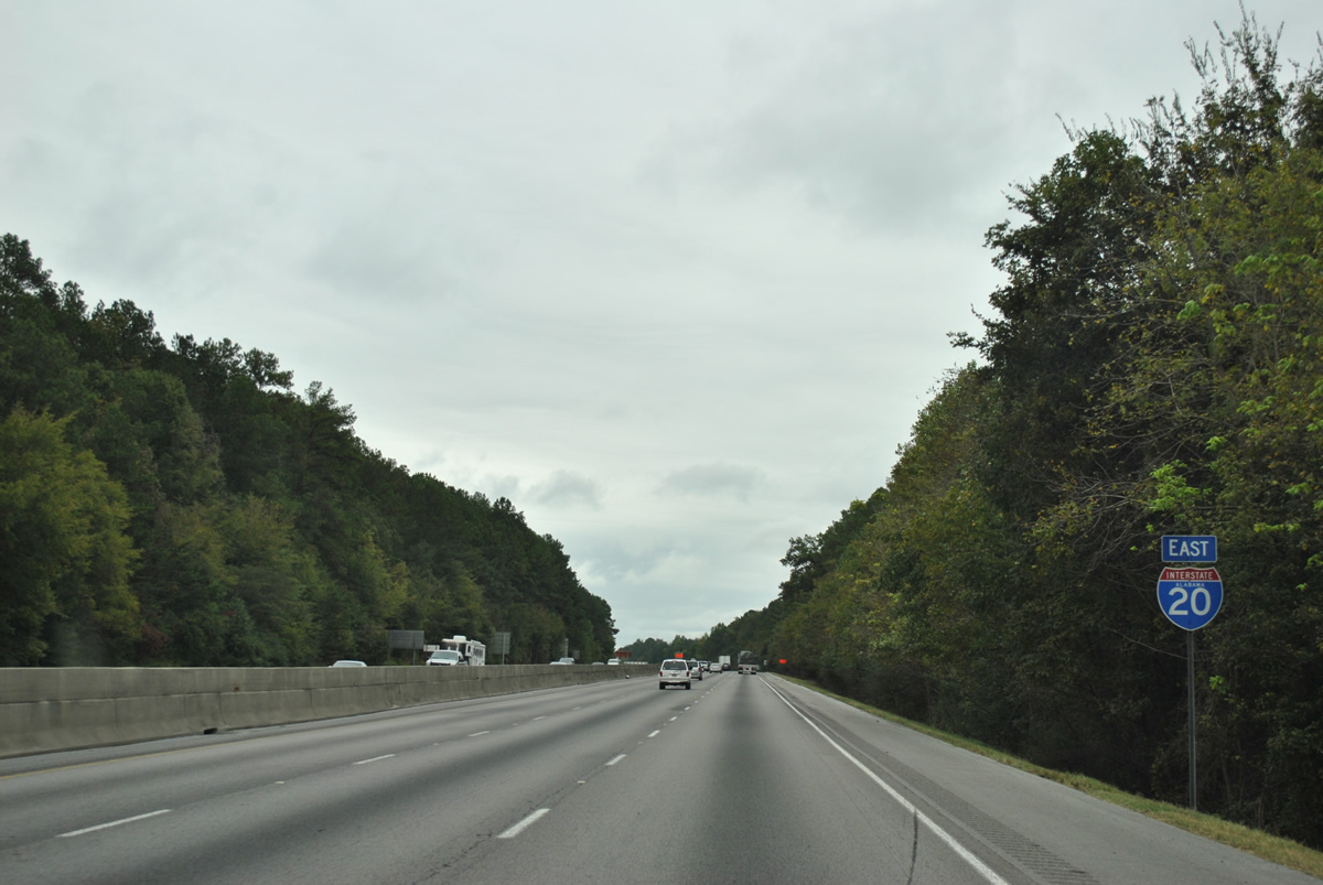
Construction in 2005 through Leeds involved the installation of a concrete jersey barrier median. The new barriers were added to prevent head-on crossover auto collisions along Interstate 20.
10/07/12
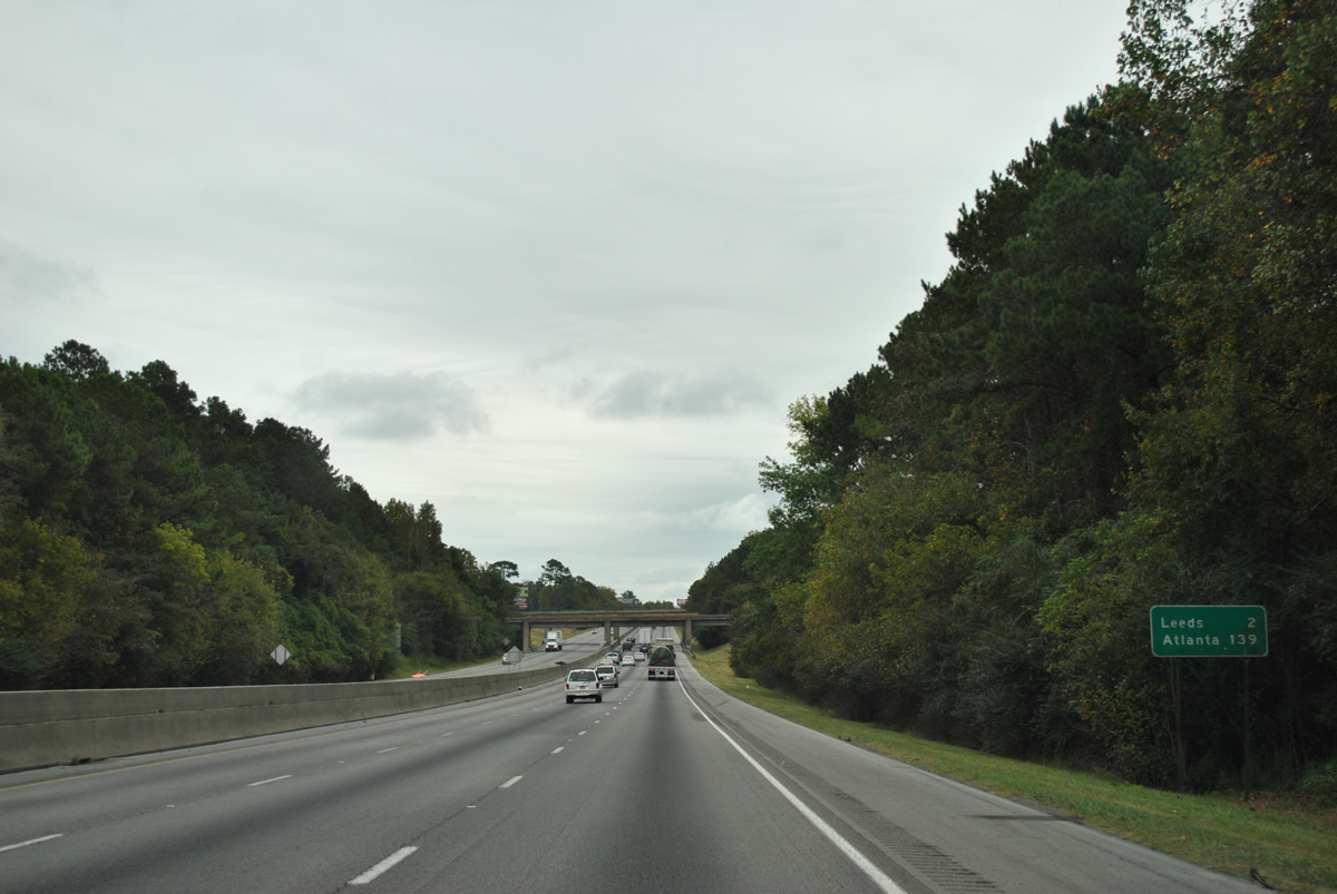
Interstate 20 continues two miles to the next Leeds interchange. Atlanta is now 139 miles to the east.
10/07/12
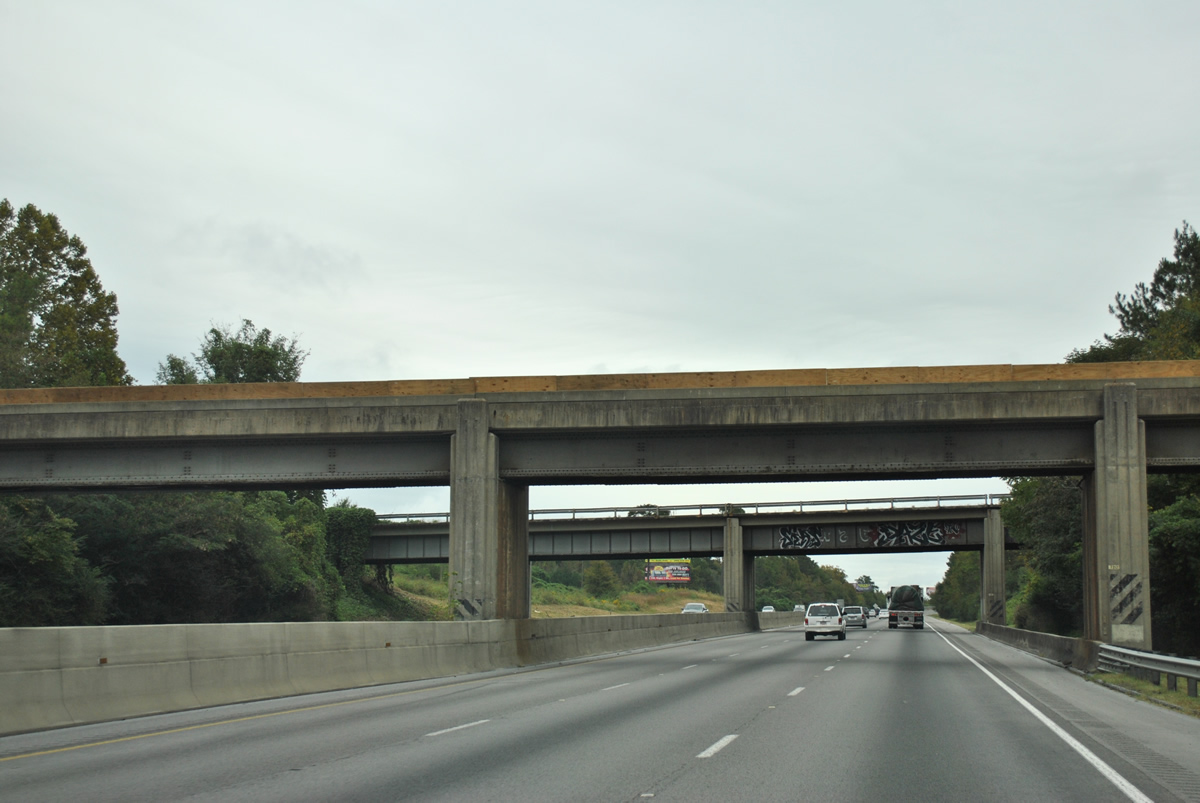
A Norfolk Southern Railroad line winds eastward onto Pine Ridge at Henry Ellen above Interstate 20.
10/07/12
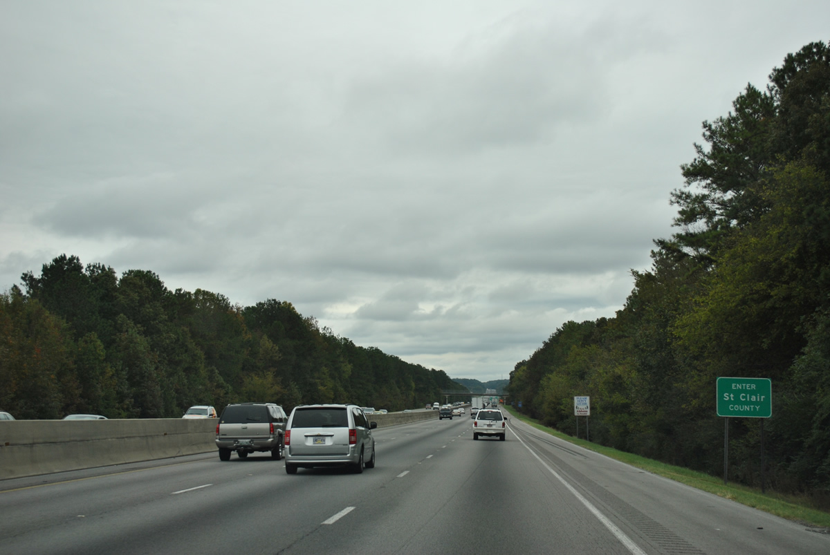
Interstate 20 leaves Jefferson County for St. Clair County beyond Pine Ridge.
10/07/12
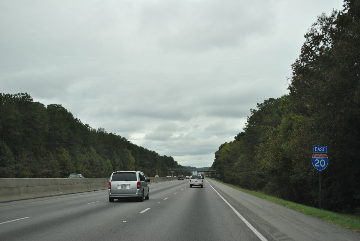
Still within Leeds, Interstate 20 travelers enter Cahaba Valley ahead of the Dawson Street overpass.
10/07/12
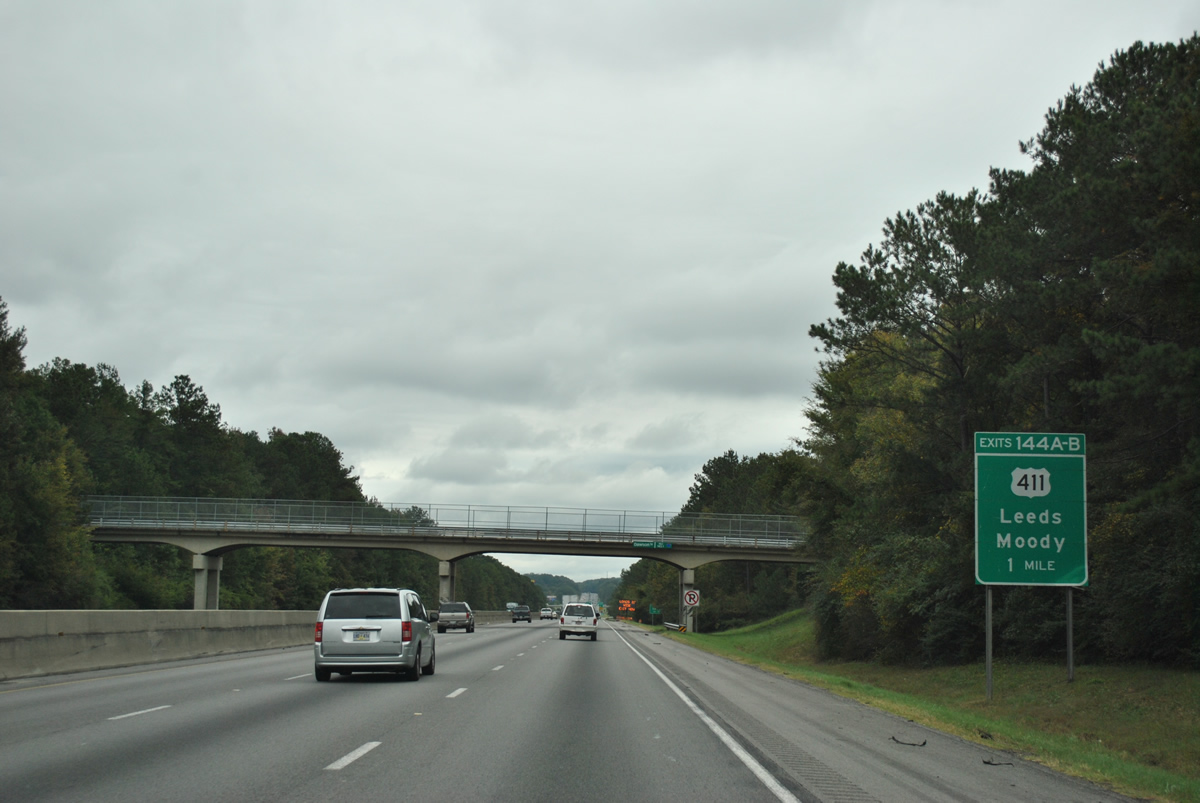
Next in line for eastbound drivers on I-20 is a six-ramp parclo interchange with U.S. 411 (Moody Parkway). This 314 mile route sees its southern terminus in downtown Leeds at U.S. 78 (Parkway Drive). Forthcoming Exit 144 lines the Moody and Leeds city line and is flanked with commercial establishments and travel amenities.
10/07/12
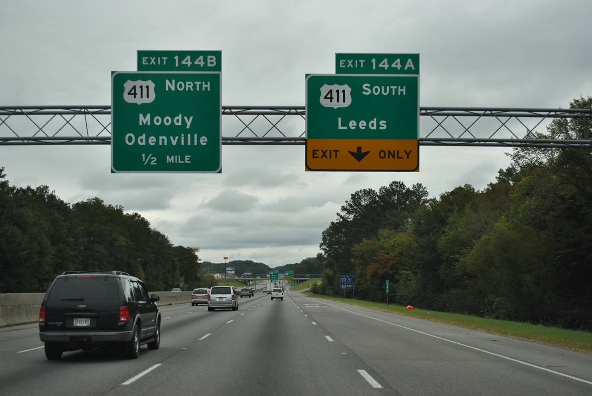
Interstate 20 eastbound adds a fourth lane for Exit 144A onto U.S. 411 (Moody Highway) southbound. U.S. 411 follows Ashville Road southwest 1.4 miles to Whitemire Street, where the route turns to end at U.S. 78 and 9th Street.
Travel interests to the communities of Branchville and Odenville should use Exit 144B onto U.S. 411 (Moody Parkway) north. The US highway passes through the communities on the 21 mile drive to U.S. 231 near Ashville.
10/07/12
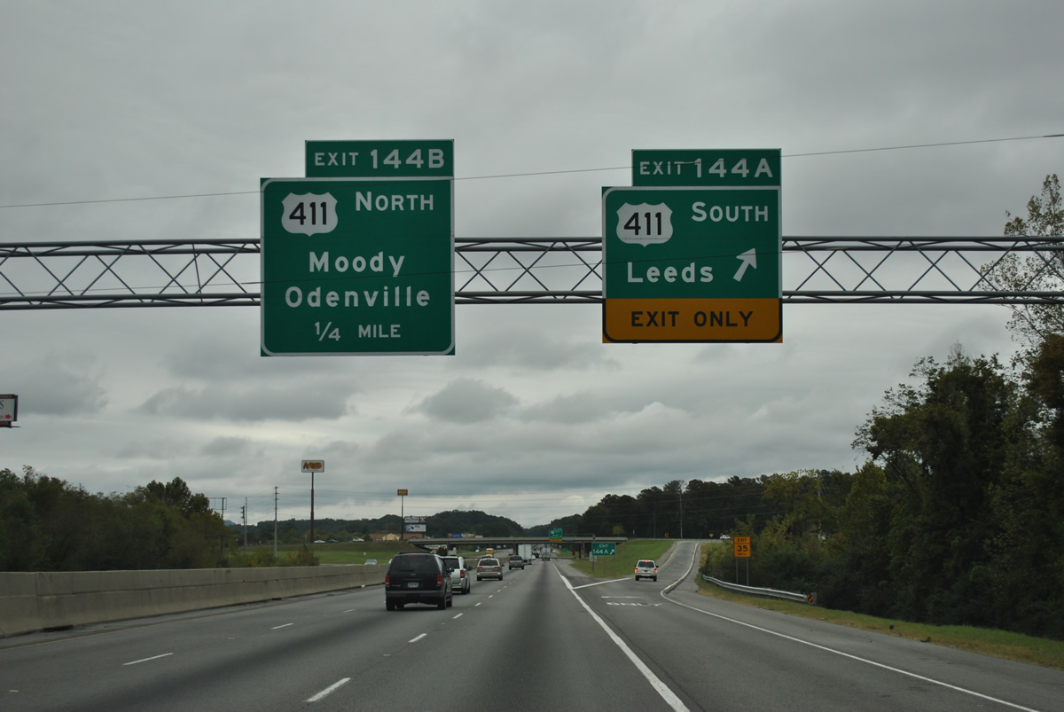
Exit 144A departs Interstate 20 eastbound for U.S. 411 (Ashville Road) south. Use U.S. 411 south for the continuation of SR 25 (Dunnavant Road) for the communities of Vandiver, Sterett, and Calcis. SR 25 is the hidden state route counterpart of U.S. 411 northeast to the Georgia state line.
10/07/12
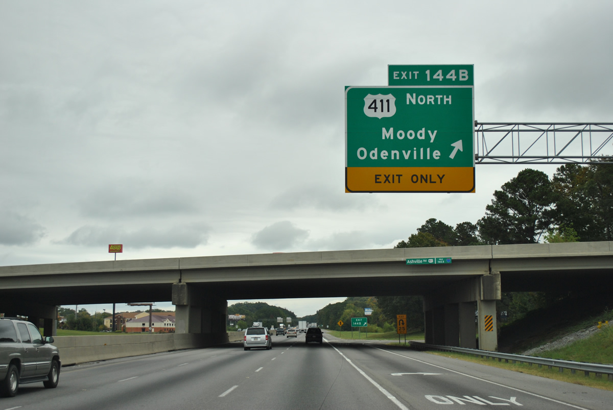
Eastbound at the Exit 144B loop ramp onto U.S. 411 (Moody Highway) northbound. U.S. 411 ventures northeast to Ashville and Gadsden parallel to the Interstate 59 corridor. The US route continues east from Gadsden to Rome and Cartersville, Georgia.
10/07/12
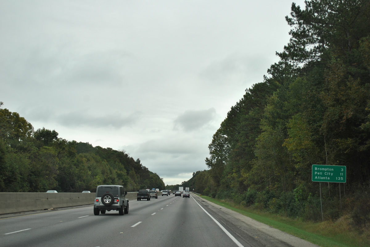
Distance sign posted on Interstate 20 eastbound at Oak Ridge. The settlement of Brompton lies three miles ahead at the Exit 147 diamond interchange with Kelly Creek Road.
10/07/12
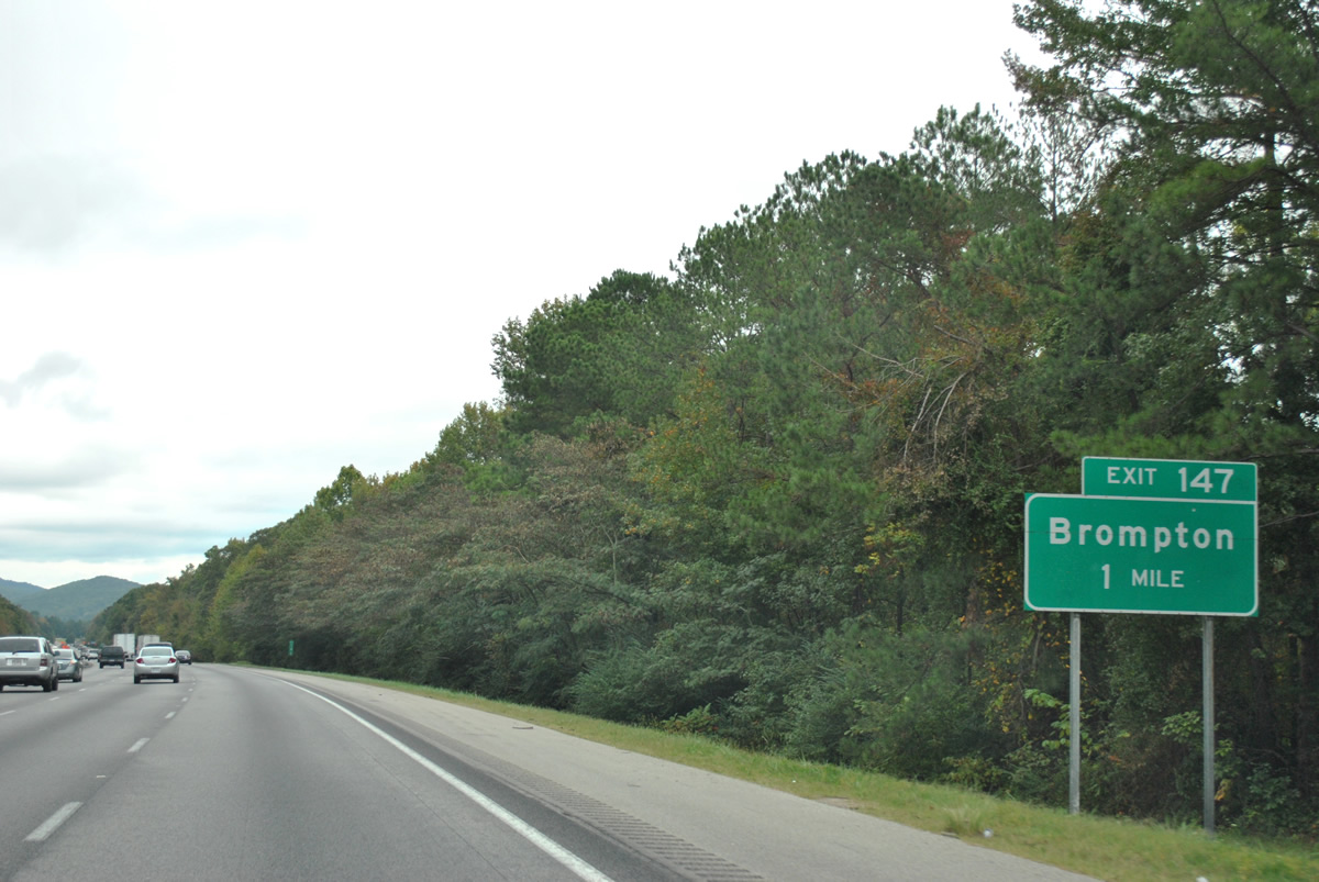
Exit 147 guide sign posted one mile out from the Brompton interchange east of Leeds. Kelly Creek Road stems north from the parallel U.S. 78 to Park Avenue (St. Clair County 10). County Road 10 travels west to Moody and Cahaba Valley from Brompton.
10/07/12
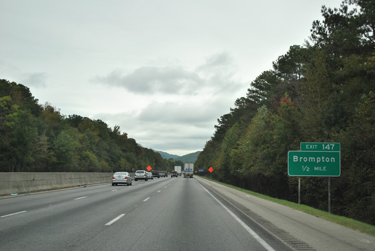
A look at the one half mile guide sign for Exit 147 (Brompton) posted on Interstate 20 east. U.S. 78 (Bankhead Highway) parallels a Norfolk-Southern Railroad line out from Leeds to kiss the southbound side of I-20 east of Kelly Creek Road.
10/07/12
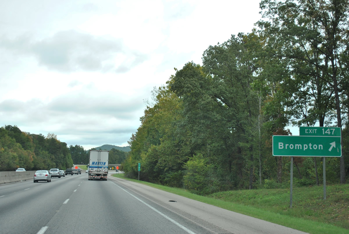
Interstate 20 eastbound at the Exit 147 diamond interchange with Kellys Creek Road at Brompton. U.S. 78 continues east through Karr Gap to Prescott and Cook Springs on a winding alignment around Sand Ridge.
10/07/12
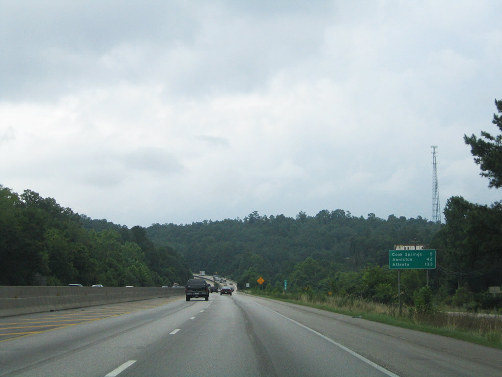
U.S. 78 (Bankhead Highway) comes into view alongside Interstate 20 eastbound through Karr Gap. The parallel highway loops five miles southward from the Brompton area to Cooks Springs.
07/15/05
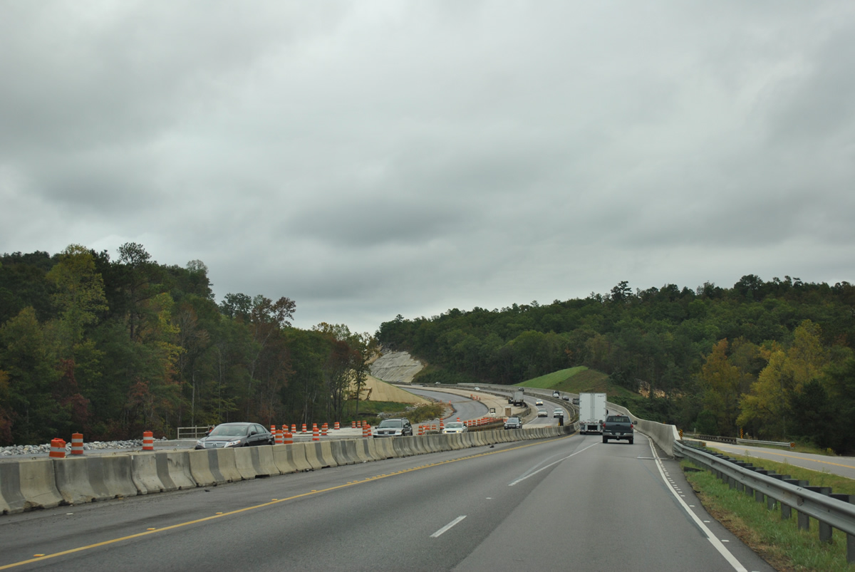
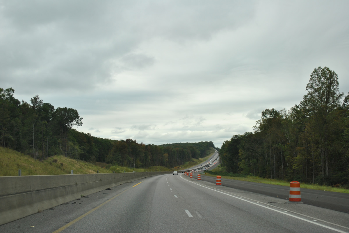
Climbing between Karr and Taylors Mountain, Interstate 20 narrowed from six to four lanes east of Exit 147. The Progress 20 project expands 8.061 miles of freeway between milepost 147.70 and 155.76 between October 2009 and summer 2013.
10/07/12
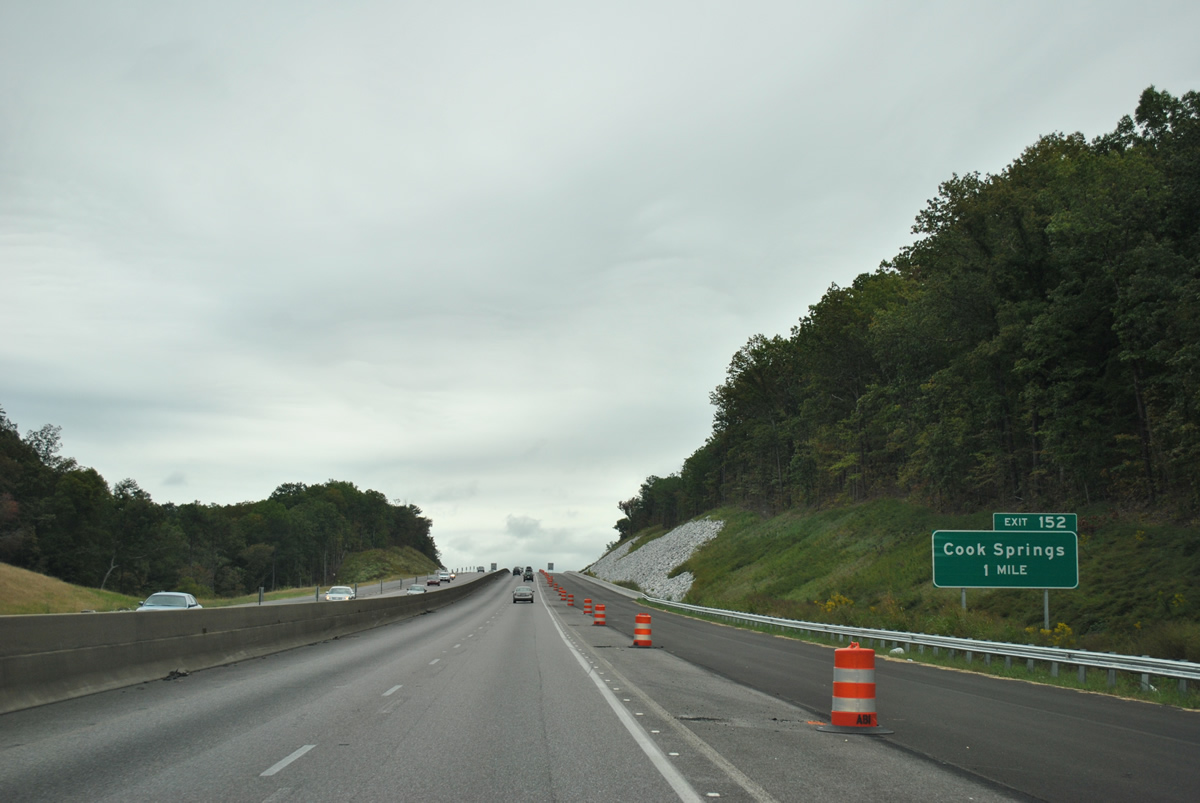
Next in line for eastbound travelers is the Cook Springs Road diamond interchange (Exit 152).
10/07/12
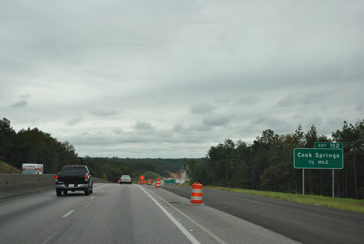
One half mile ahead of Exit 152 to Cook Springs Road on I-20 east. Cook Springs Road ventures north from Cook Springs and U.S. 78 nearby to Interstate 20.
10/07/12
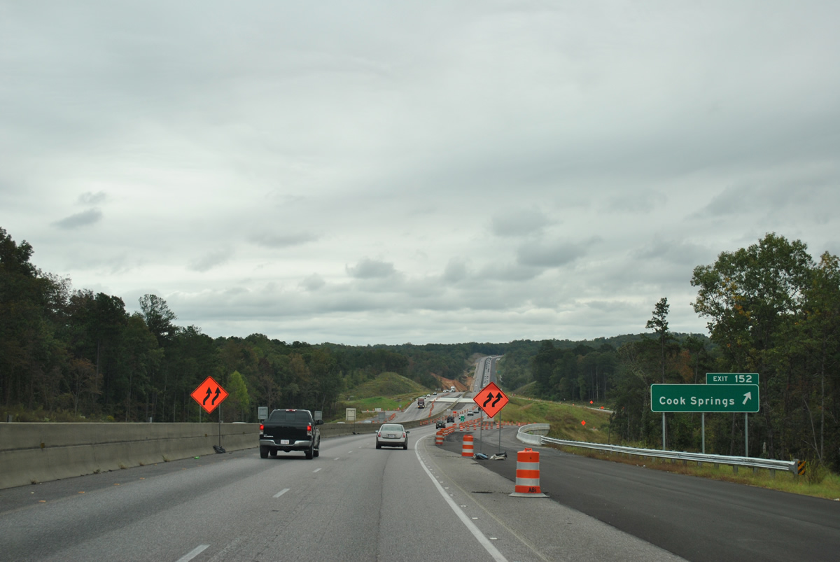
Cook Springs Road travels 4.8 miles between U.S. 78 (Bankhead Highway) to the south and SR 174 to the north.
10/07/12
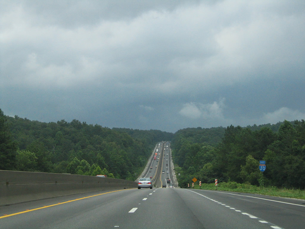
A scenic vista along Interstate 20 eastbound between Cook Springs and Chula Vista. The narrow valley is home to Cane Creek.
07/15/05
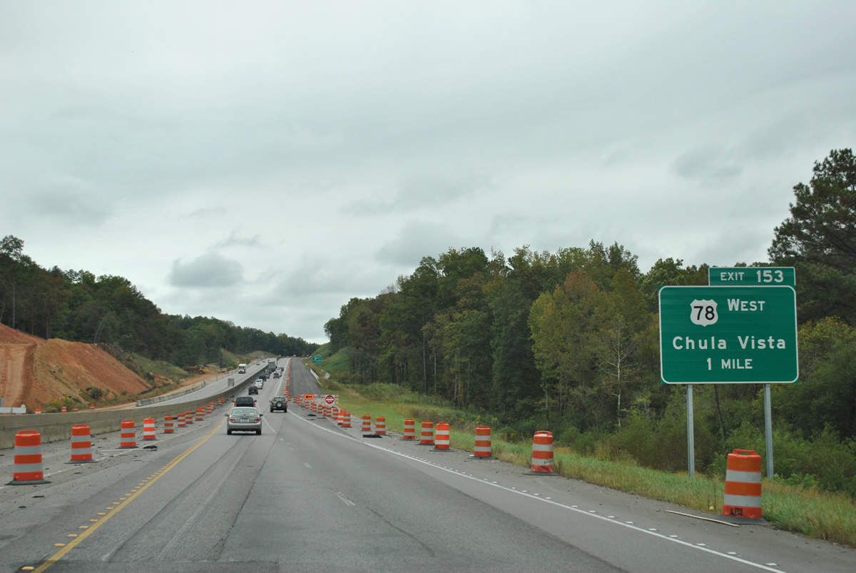
Four interchanges in a row connect with U.S. routes along Interstate 20 within the Pell City vicinity. U.S. 78 eastbound merges onto the freeway for a three mile overlap next at Exit 152 and Chula Vista.
10/07/12
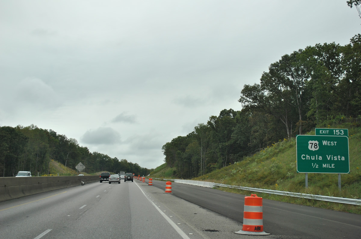
U.S. 78 (Bankhead Highway) joins Interstate 20 at Exit 153 as construction of the freeway over Pond Mountain overtook a portion of the original alignment. Mount Olive Drive ties into the interchange from Chula Vista Mountain to the north while Pine Ridge Road (former U.S. 78) spurs east as a frontage road to I-20.
10/07/12
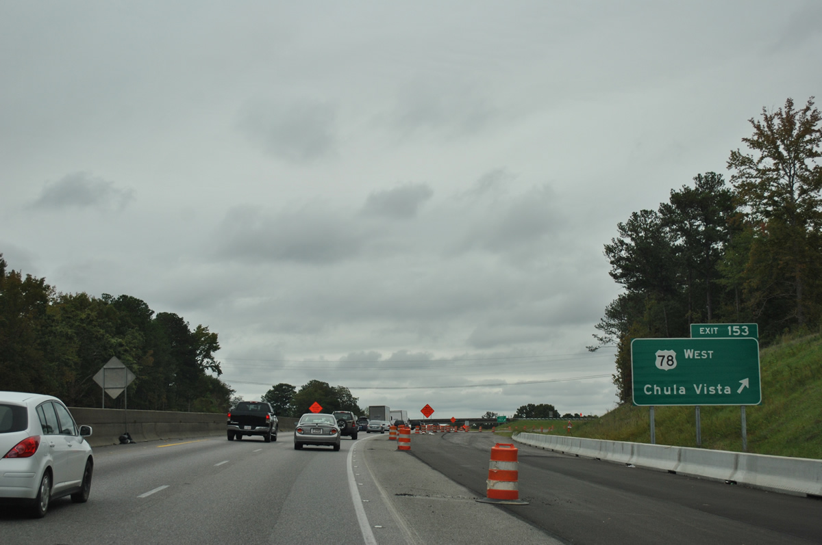
Interstate 20 eastbound at the Exit 153 ramp departure for U.S. 78 (Bankhead Highway) west to Cook Springs and Mount Olive Drive north.
10/07/12
 East
East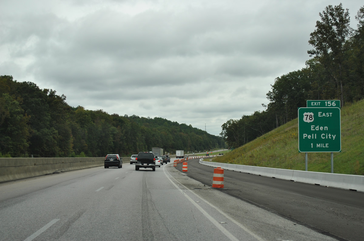
Interstate 20 and U.S. 78 split at the Exit 156 diamond interchange east of Pond Mountain. There U.S. 78 loops southeast via Cogswell Avenue into the city of Pell City.
10/07/12
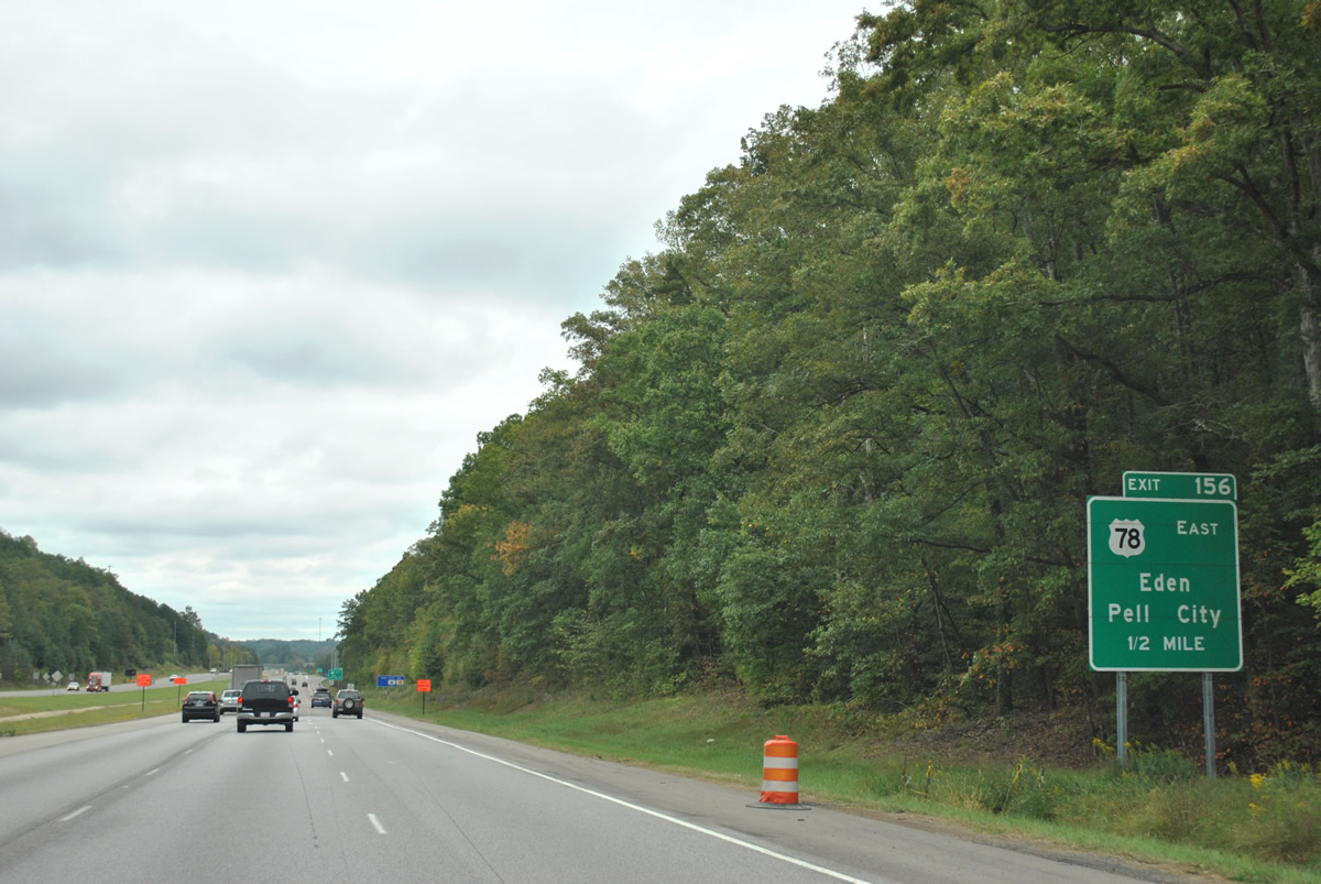
Pell City lies south of Interstate 20 at the cross roads of U.S. 78 and U.S. 231. Mineral Springs Road (County Road 29) ties into Exit 156 from Stewarts and Tanyard (SR 174) to the north.
10/07/12
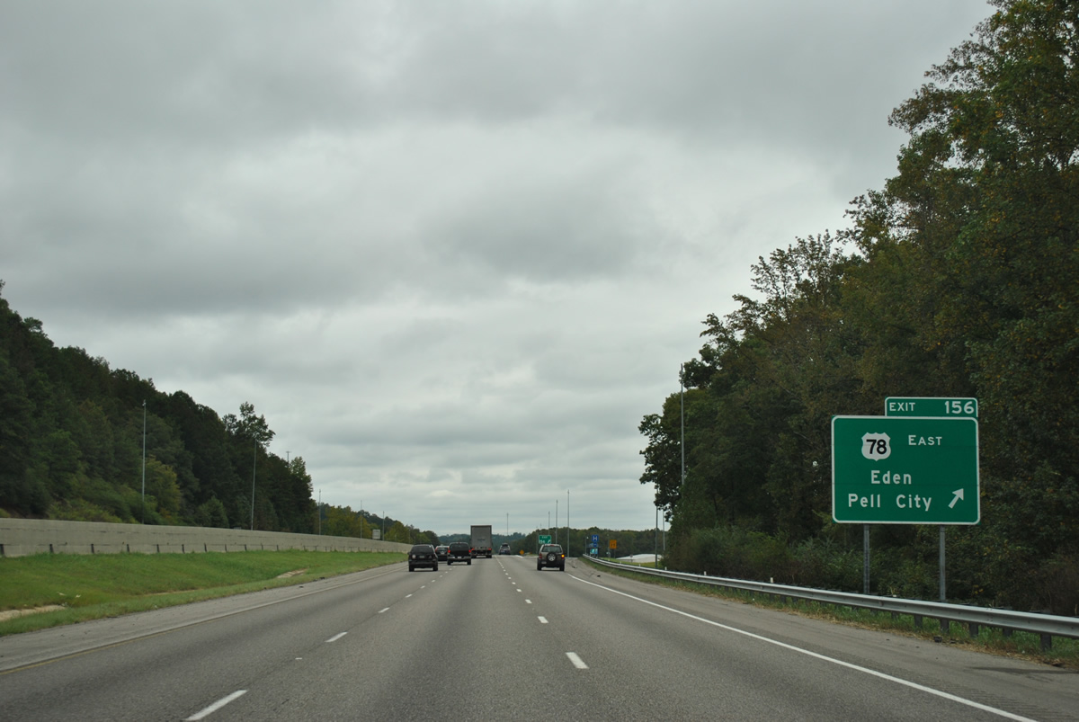
The community of Eden lies just south of Exit 156 and Interstate 20 along U.S. 78 (Cogswell Avenue). Results of 2005-widening expanded I-20 to six overall lanes to the Talladega County line.
10/07/12
East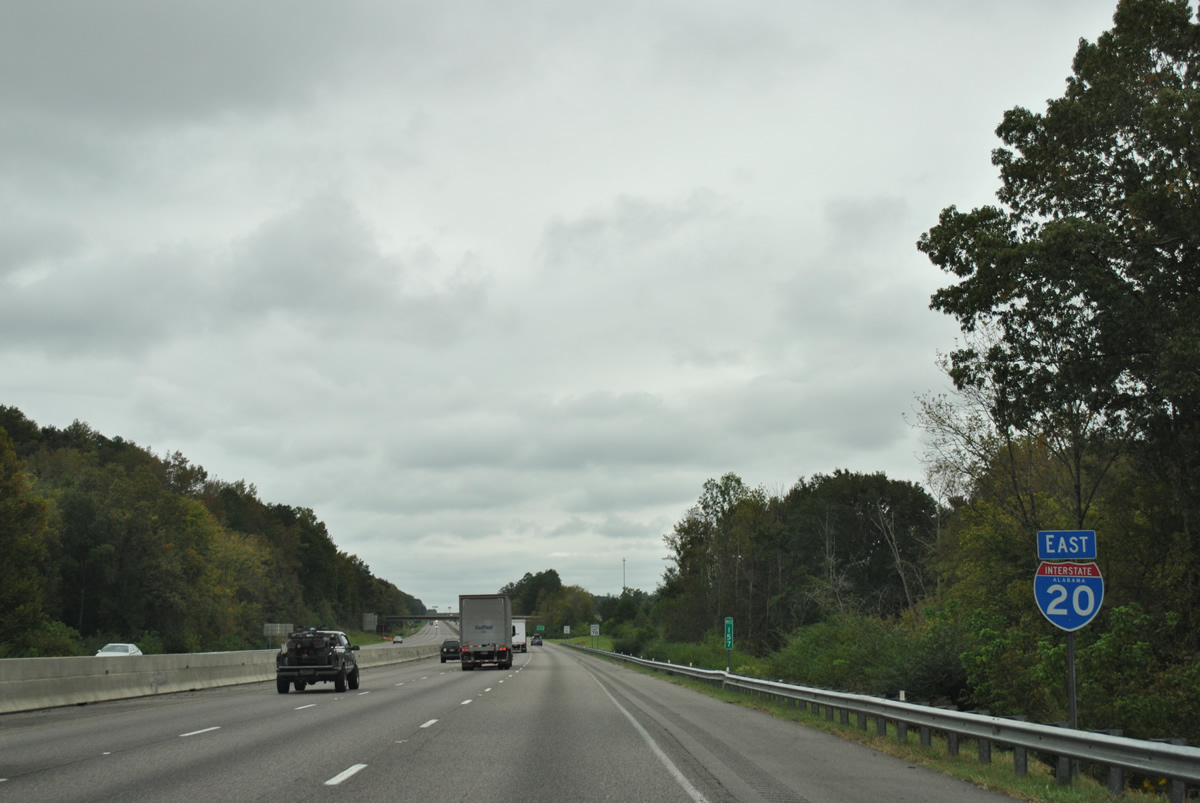
Interstate 20 bisects Gum Springs Mountain west of the Wolf Creek Road overpass.
10/07/12
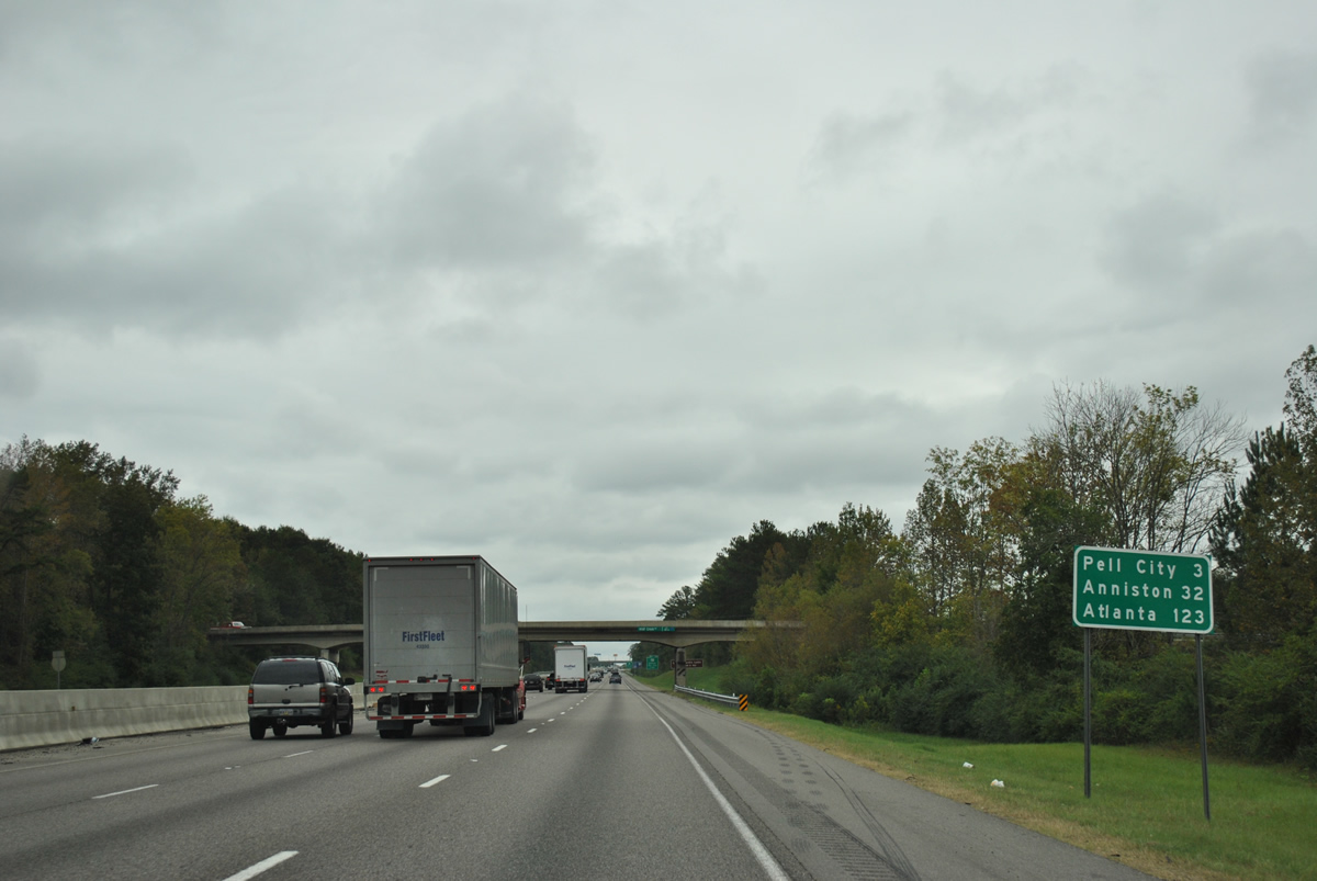
Interstate 20 eastbound intersects U.S. 231 at Exit 158 north of Pell City. Anniston and Atlanta follow in 32 and 123 miles respectively.
10/07/12
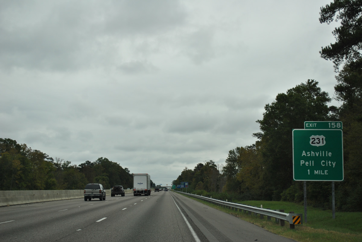
U.S. 231 travels south from Pell City to Vincent and U.S. 280 at Harpersville and north from Exit 158 to Ashville and Interstate 59 to the north.
10/07/12
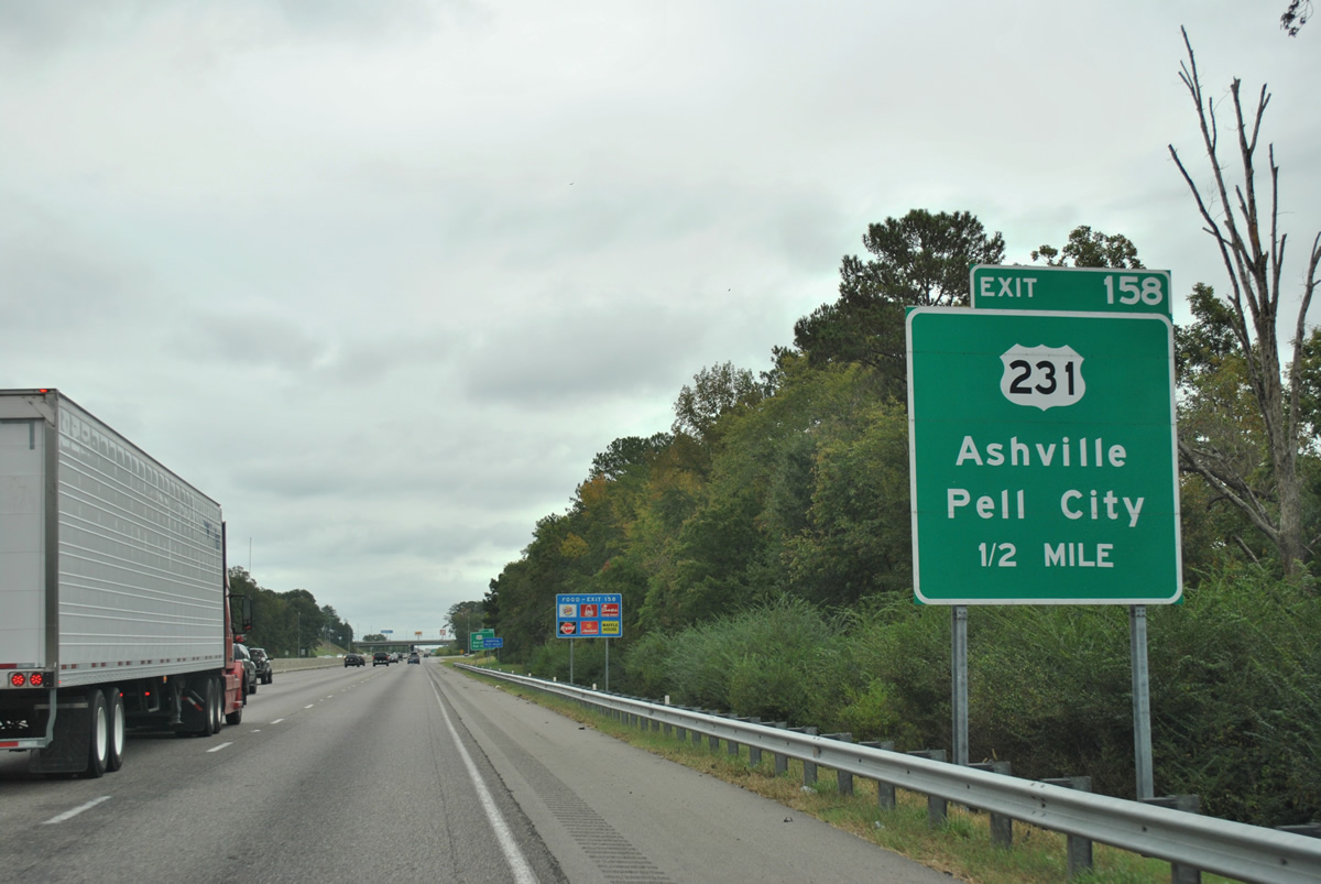
One half mile out from the Exit 158 off-ramp on Interstate 20 east. U.S. 231 travels northward from Panama City, Florida to Dothan, Troy, Montgomery, Sylacauga, Pell City, Oneonta, and Huntsville, Alabama. The 912 mile route concludes at St. John, Indiana.
10/07/12
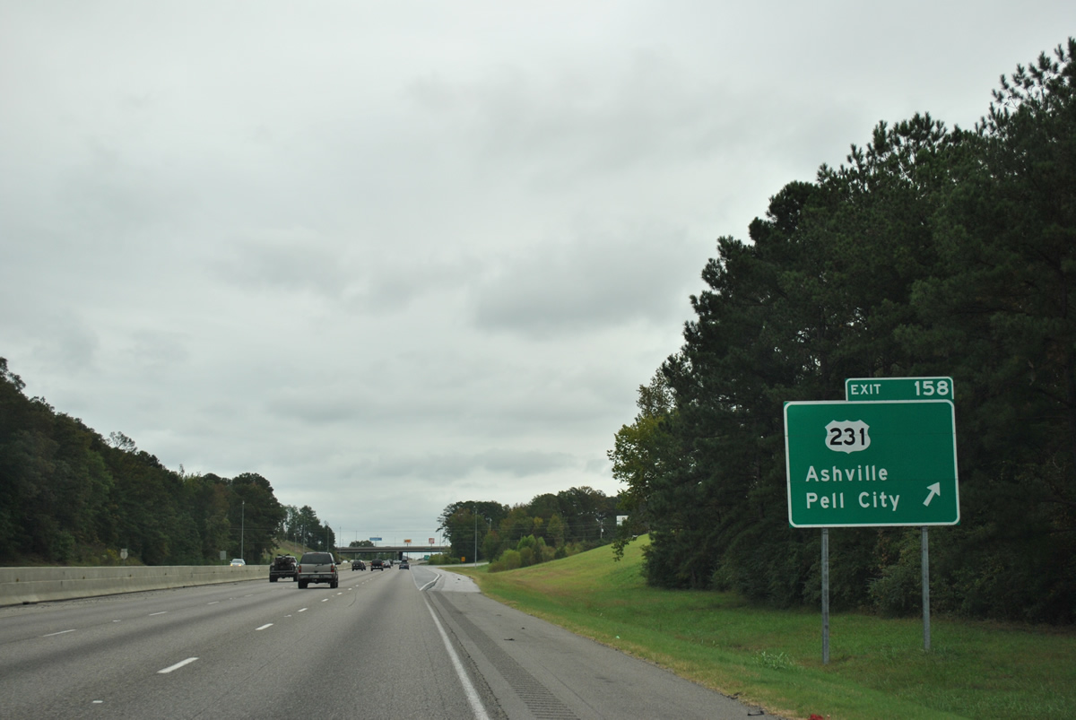
Drivers bound for U.S. 231 (Heart of Dixie Highway / Martin Street) leave Interstate 20 eastbound at Exit 158. A parclo interchange joins the two highways on the north side of Pell City. The loop ramp from I-20 west to U.S. 231 south was removed by 2011.
10/07/12
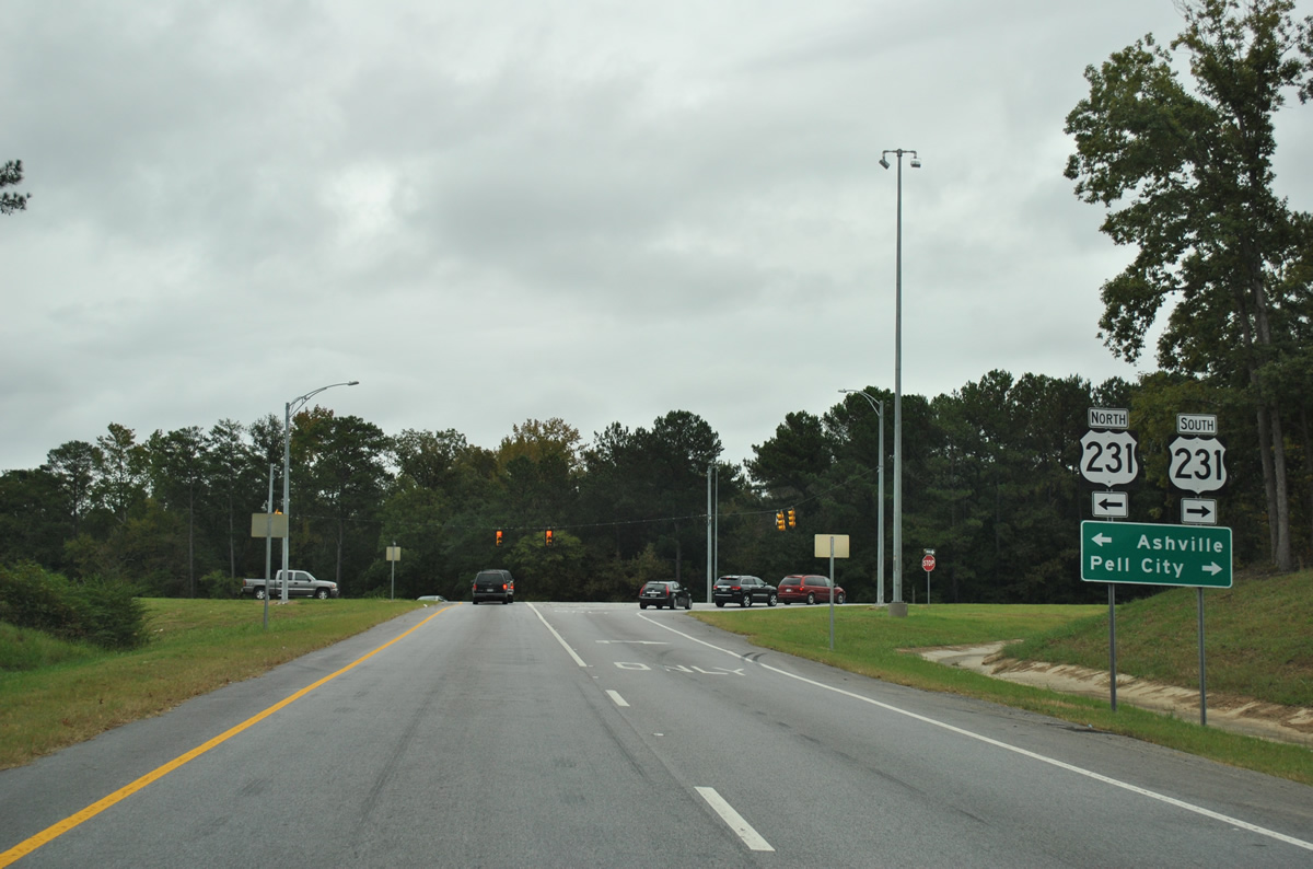
U.S. 231 (Heart of Dixie Highway) merges with U.S. 411, 13 miles to the north on the 17 mile drive to Ashville. Southward, U.S. 231 follows Martin Street 1.25 miles to U.S. 78 (Cogswell Avenue) in downtown Pell City.
10/07/12
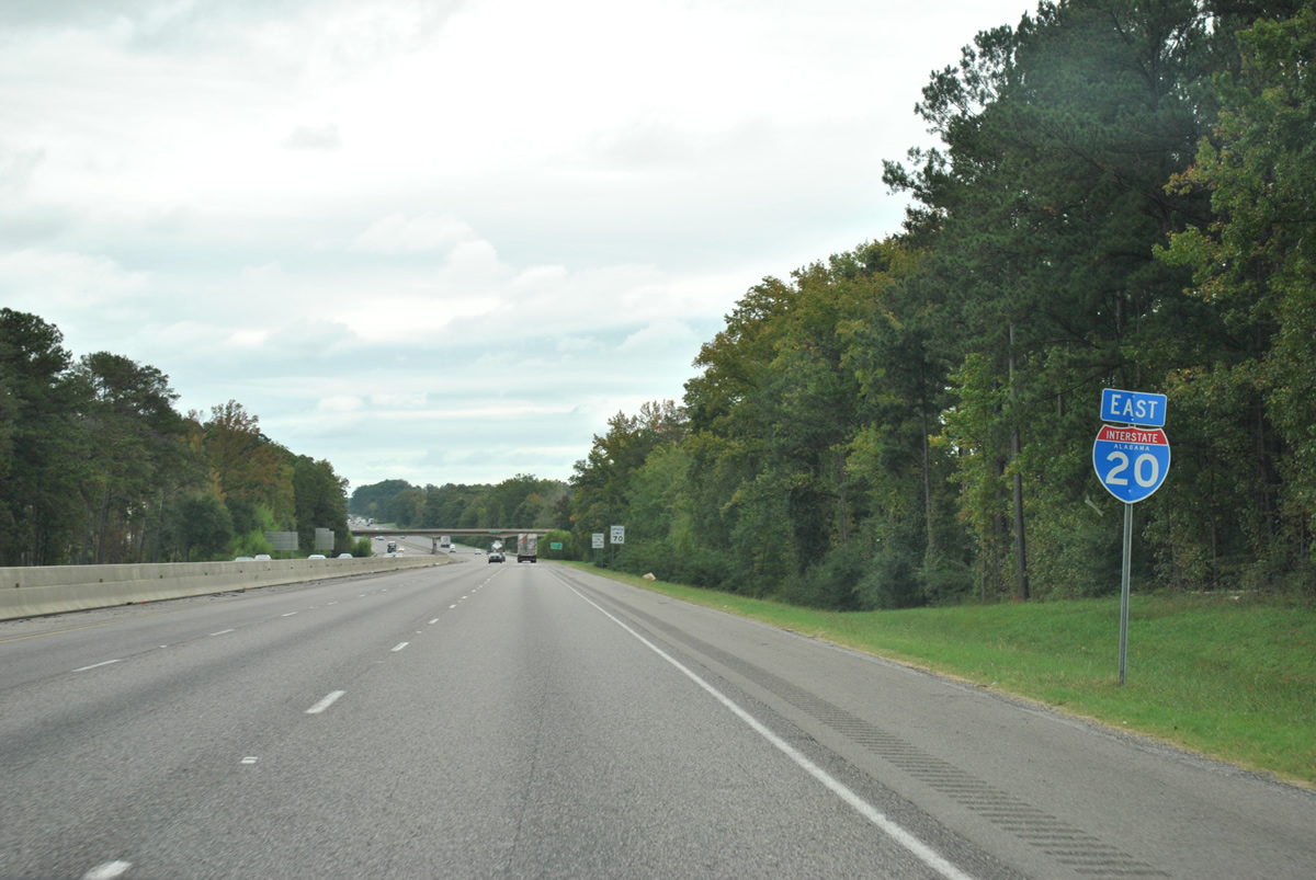
Eastbound reassurance shield posted along Interstate 20 near Oak Ridge in Pell City.
10/07/12
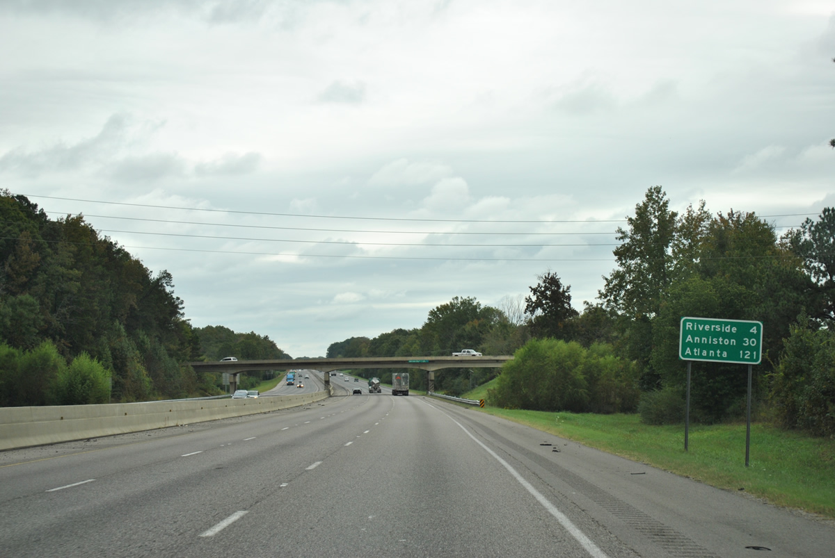
Distance sign posted 30 miles from Anniston and 121 miles from Atlanta, Georgia near the Old Coal City Road overpass.
10/07/12
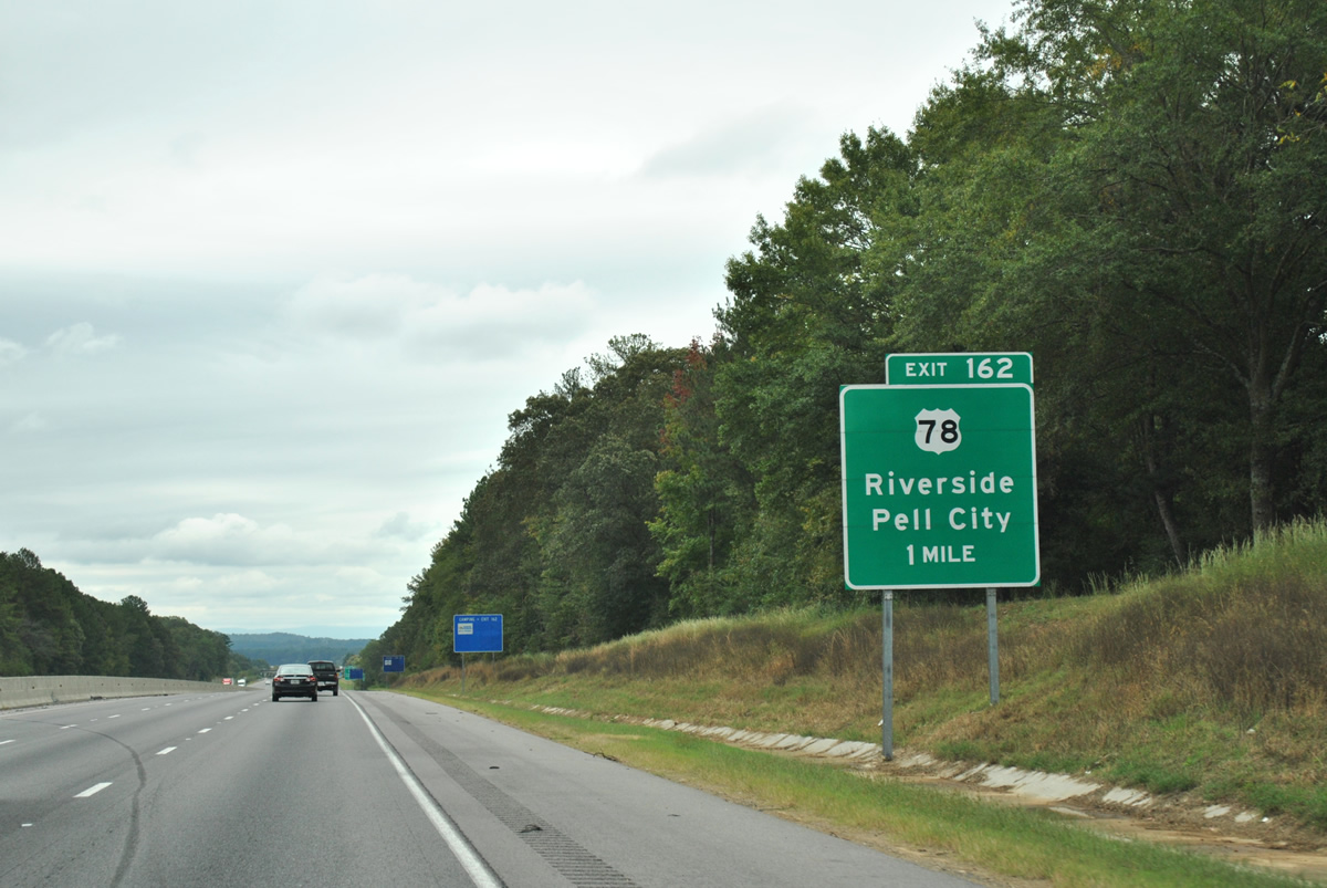
U.S. 78 crosses Interstate 20 (Exit 162) from Pell City northeastward to Riverside.
10/07/12
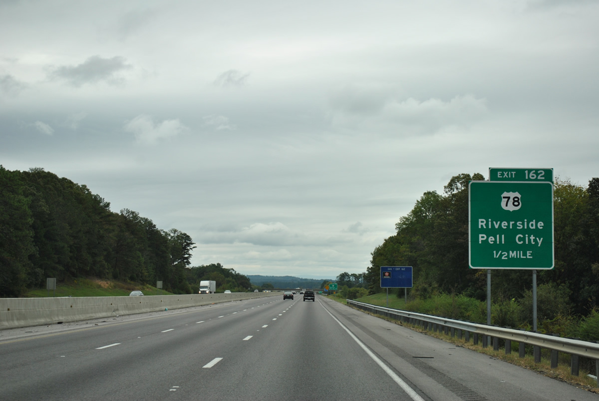
One half mile west of the diamond interchange (Exit 162) with U.S. 78 (Bankhead Highway) on I-20 east. U.S. 78 stays north of I-20 from Logan Martin Lake eastward to Atlanta.
10/07/12
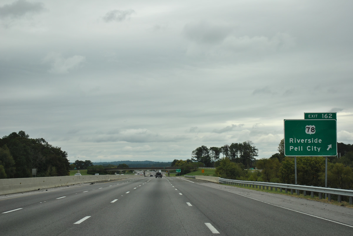
Exit 162 leaves Interstate 20 east after the freeway passes over a Norfolk Southern Railroad line. U.S. 78 and the adjacent railroad travel to Riverside nearby before spanning the Coosa River to Talladega County. The route between Pell City and Lincoln was once a part of U.S. 231 Alternate.
10/07/12
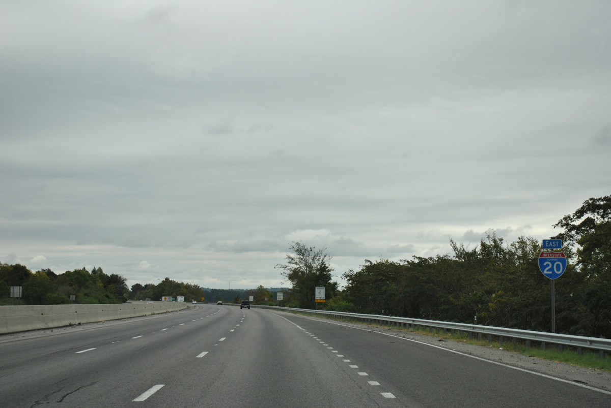
Logan Martin Lake comes into view as Interstate 20 leaves Exit 162 and travels a causeway toward the Coosa River.
10/07/12
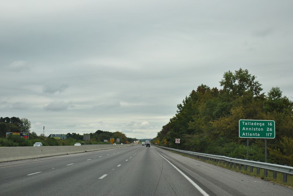
Talladega, 13 miles to the south of Interstate 20, is served by the next two interchanges. Anniston follows in 26 miles.
10/07/12
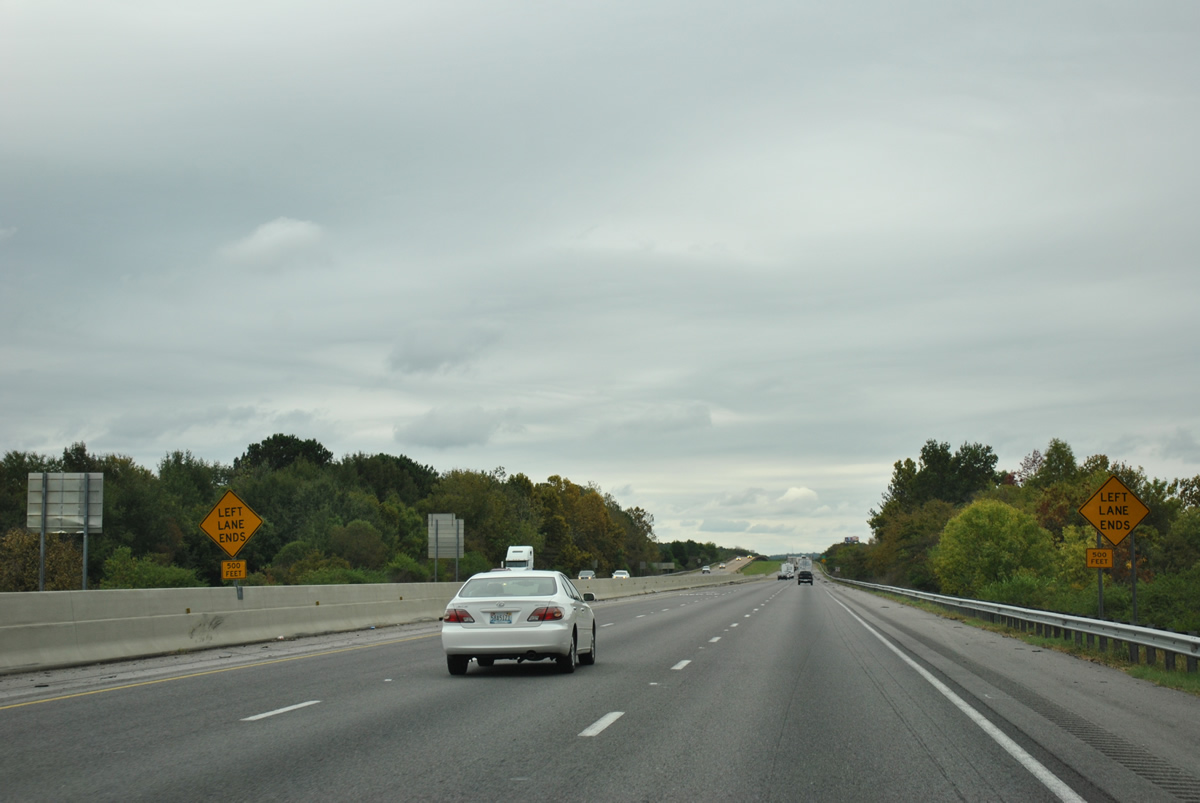
Interstate 20 reduces from six to four overall lanes ahead of the Coosa River. The freeway remains with just four lanes to west Georgia.
10/07/12
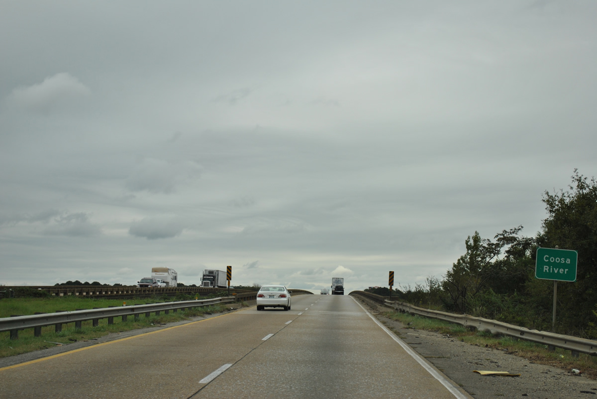
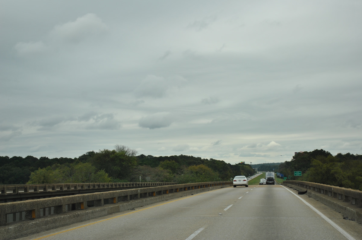
Interstate 20 spans Logan Martin Lake on a pair of 1963 bridges. Created by Logan Martin Dam to the southwest, Logan Martin Lake is a part of the Coosa River.
10/07/12
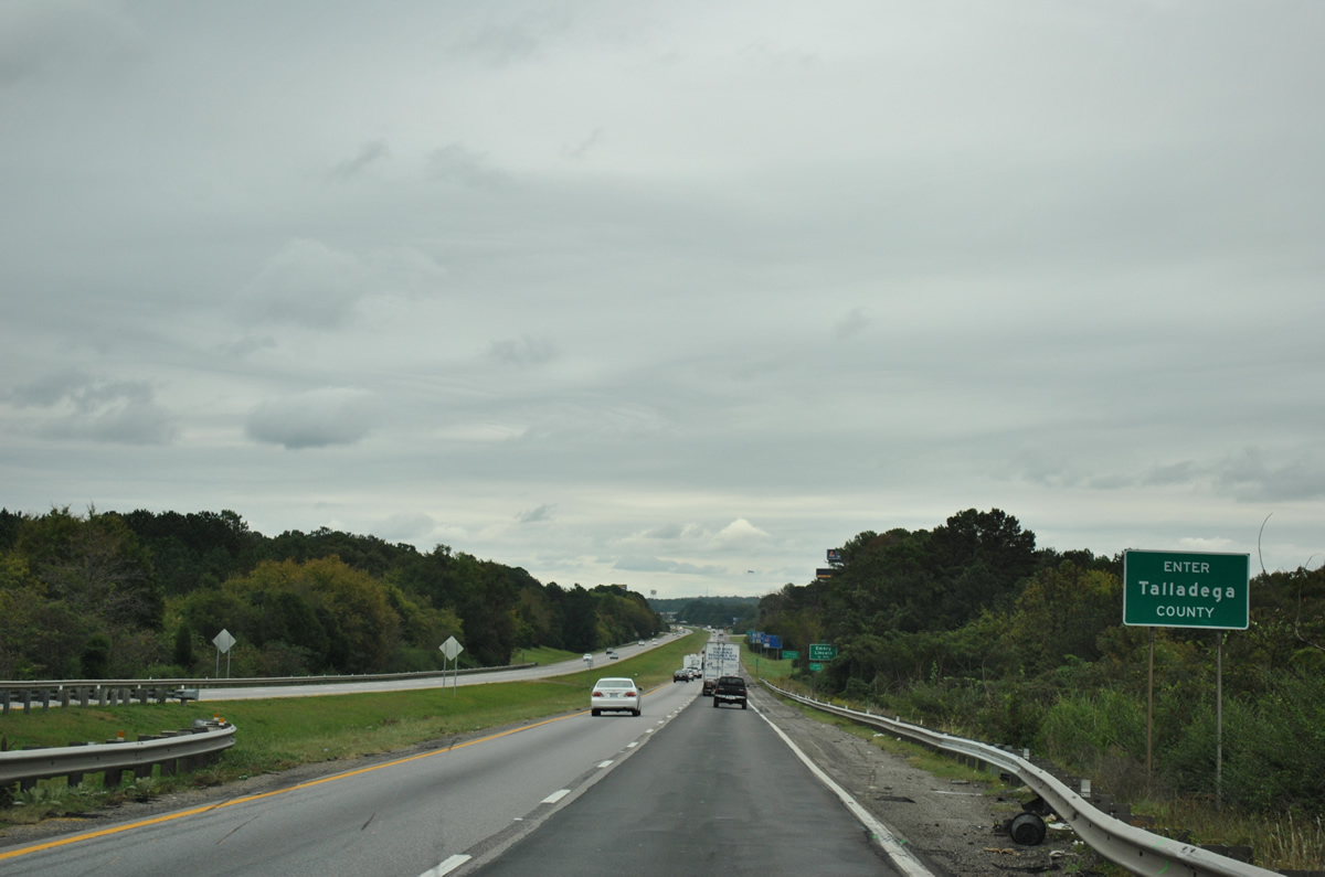
21.76 miles of Interstate 20 through St. Clair County conclude as eastbound motorists enter Talladega County.
10/07/12

Photo Credits:
- ABRoads: 11/03/11, 06/25/12, 10/07/12
- Alex Nitzman: 07/15/05
Connect with:



Page Updated Tuesday October 16, 2012.