
Interstate 24 West - Pleasant View to Clarksville
 West
West
Passing south of Pals Lake, Interstate 24 parallels U.S. 41A to the north.
05/27/11
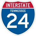
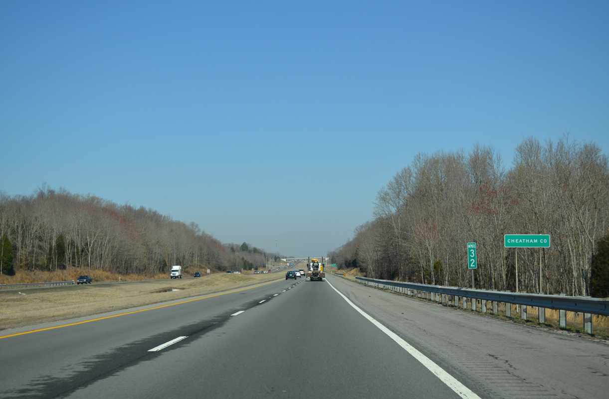
Interstate 24 shifts northward ahead of the diamond interchange (Exit 31) with SR 249 (New Hope Road) at Pinnacle.
04/05/13
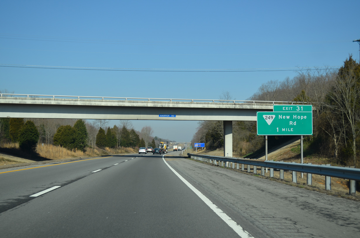
Interstate 24 initially passes through Cheatham County for 3.63 miles.
04/05/13
SR 249 meanders 9.53 miles southwest to combine with SR 49 into the Cheatham County seat of Ashland City. New Hope Road extends north from Exit 31 to rural residential areas.
04/05/13
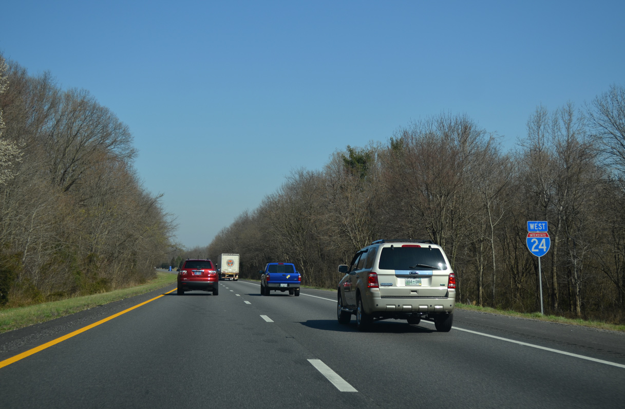
Confirming marker posted west of SR 249 (New Hope Road).
04/05/13
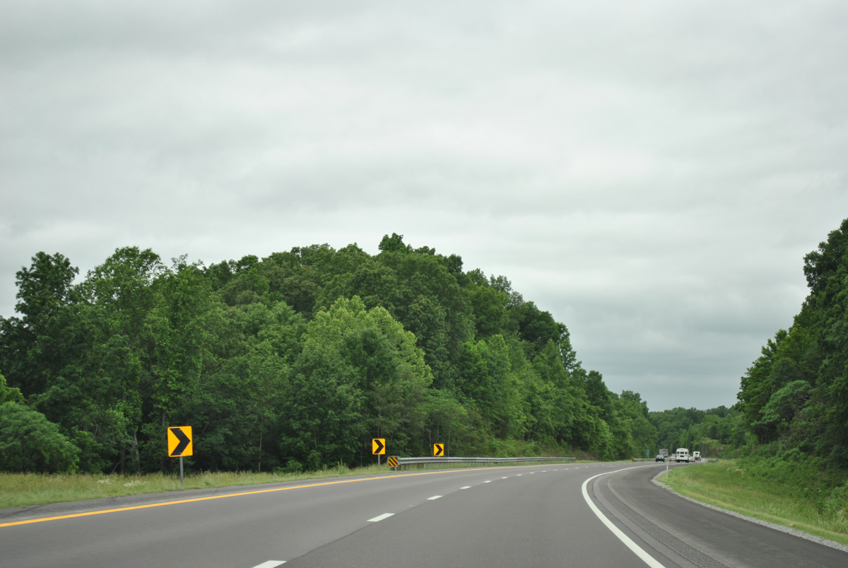
The roadways for Interstate 24 separate with a wide forested median between Pinnacle and the Robertson County line.
05/27/11
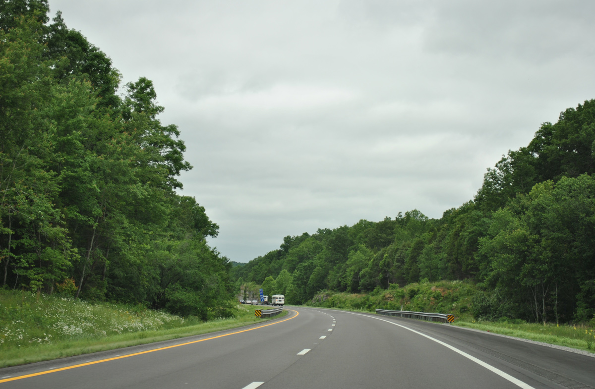
Procks Branch flows between the roadways of Interstate 24 north of U.S. 41A.
05/27/11
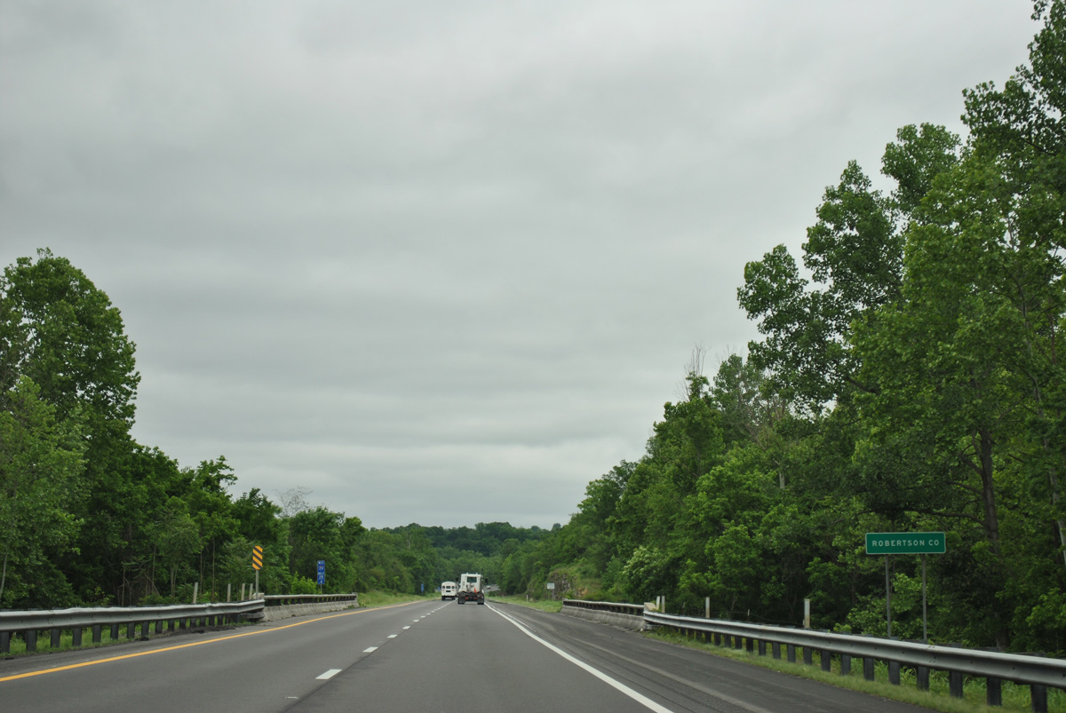
Spanning Sycamore Creek, Interstate 24 west enters Robertson County.
05/27/11
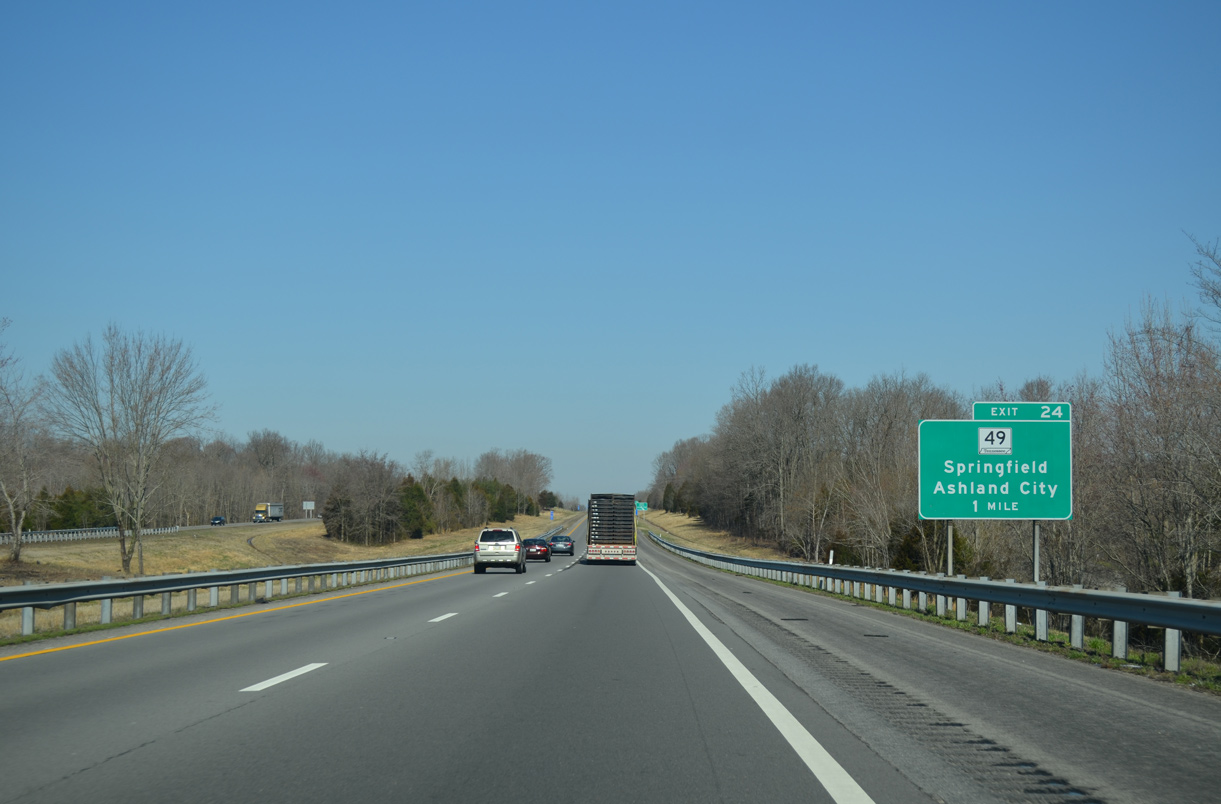
Interstate 24 reenters a Cheatham County for 0.59 miles ahead of the diamond interchange (Exit 24) with SR 49 in the city of Pleasant View.
04/05/13
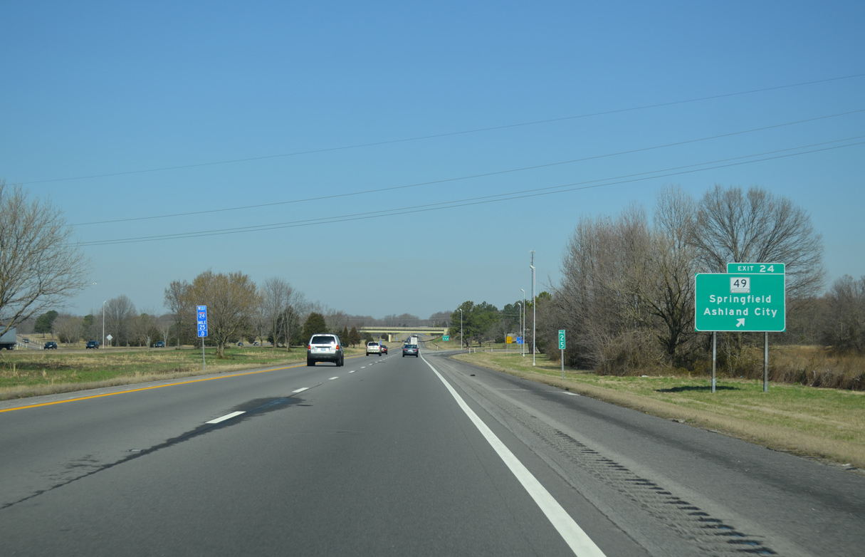
SR 49 bee lines 5.65 miles northeast from Interstate 24 to U.S. 41/431 in Springfield. South from Exit 24, SR 49 runs 9.84 miles to SR 12 in Ashland City.
04/05/13
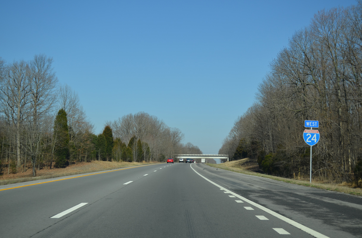
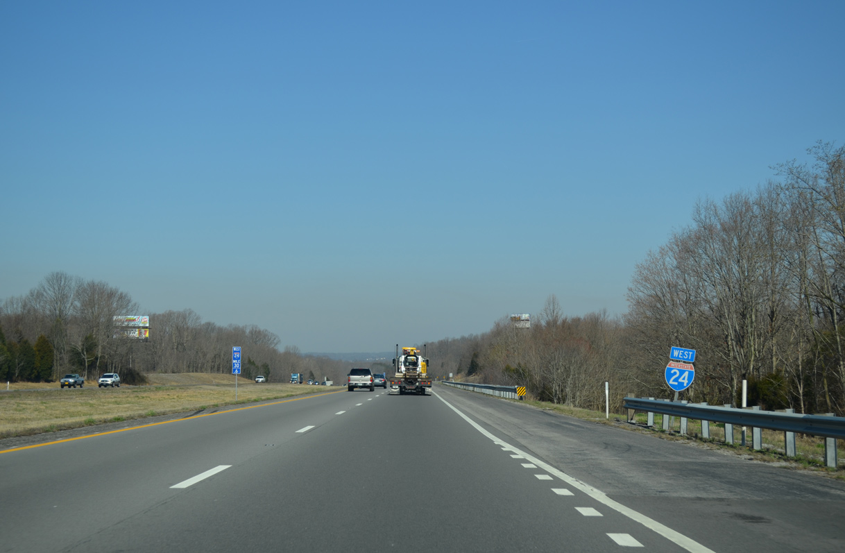
Interstate 24 parallels the Cheatham County line on the 5.31 mile long stretch between SR 49 and SR 256.
04/05/13
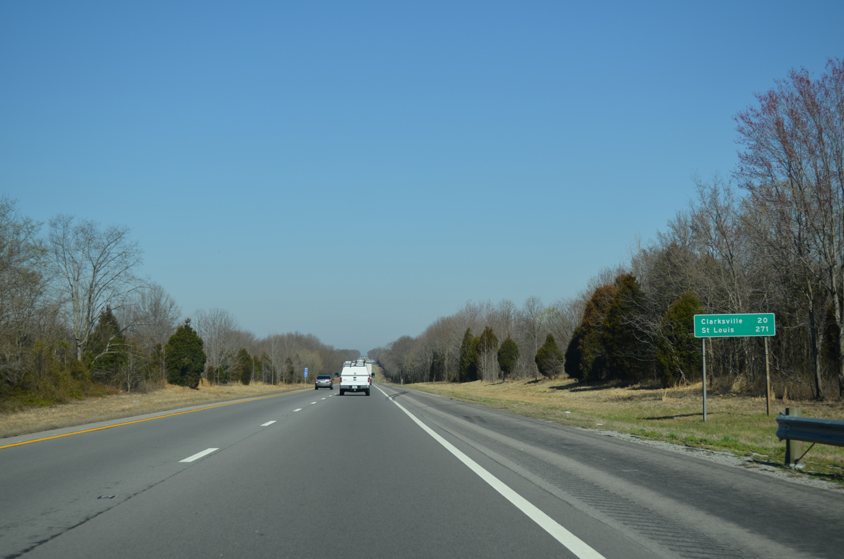
Clarksville is 20 miles to the west. St. Louis is 281 miles from Pleasant View via I-24, I-57 and I-64 to the Poplar Street Bridge spanning the Mississippi River.
04/05/13
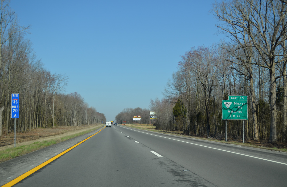
SR 256 (Maxey Road) stems 0.43 miles north from U.S. 41A to the diamond interchange at Exit 19.
04/05/13
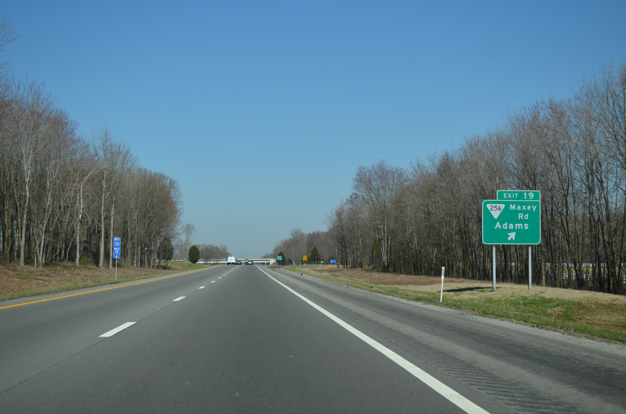
A 10.51 mile long highway, SR 256 runs north from U.S. 41A and I-24 to SR 76 in the city of Adams.
04/05/13
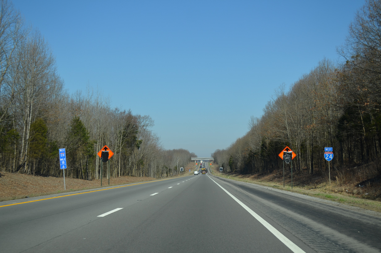
Interstate 24 continues west across West Fork Creek and below Stroudville Road beyond this reassurance shield.
04/05/13
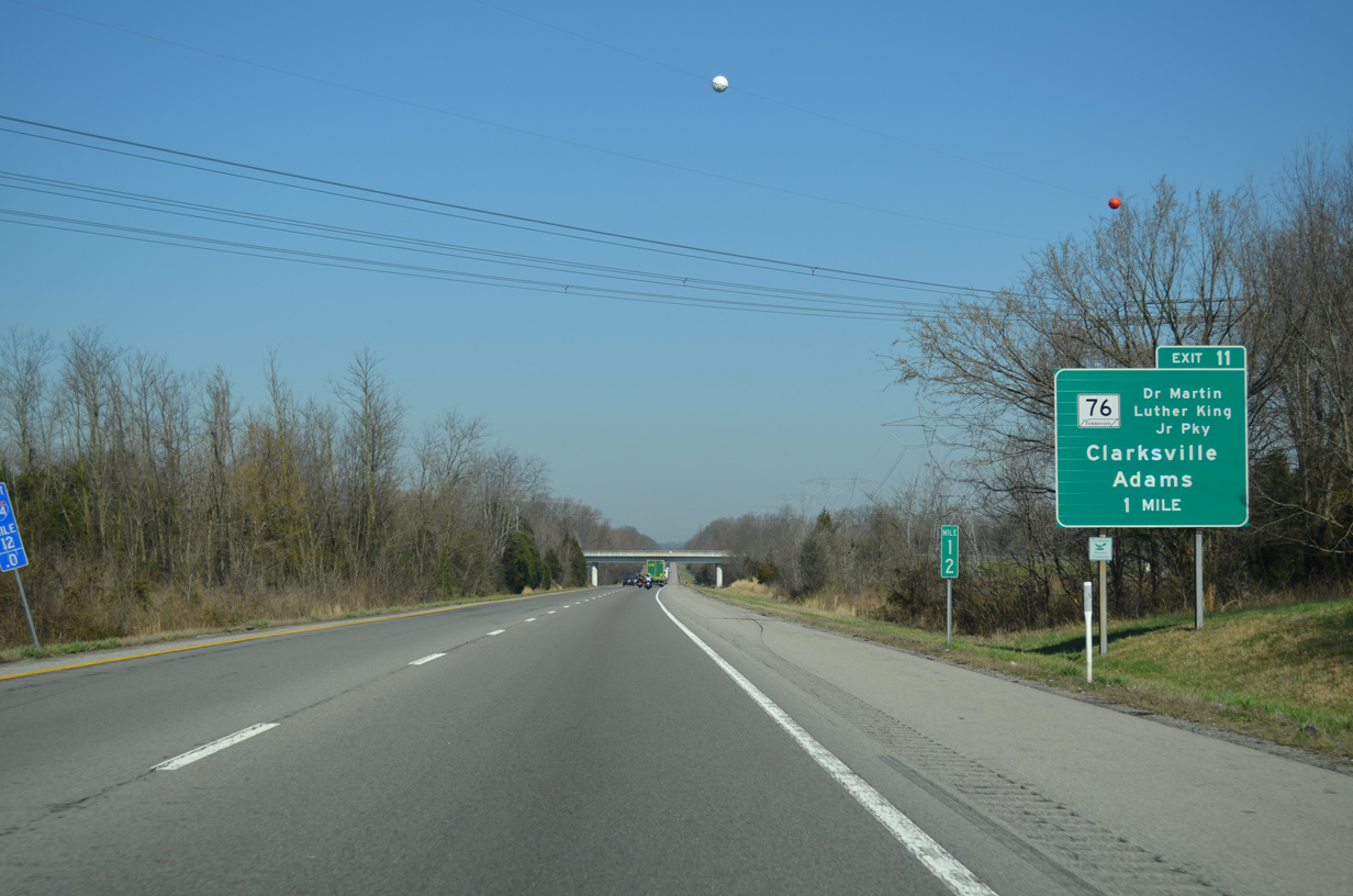
Interstate 24 enters Montgomery County west ahead of the unincorporated community of Sango and Exit 11 to SR 76 (Dr. Martin Luther King, Jr. Parkway).
04/05/13
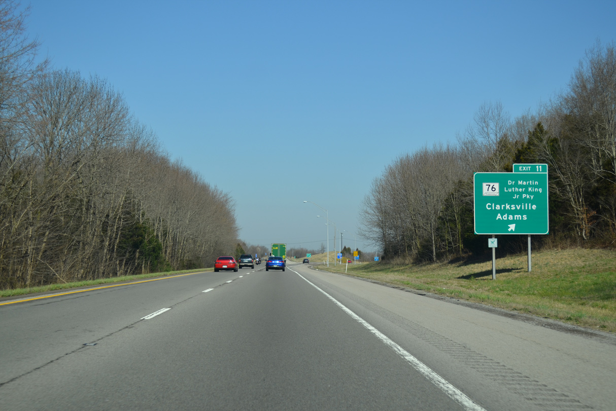
SR 76 travels 11.15 miles west from U.S. 41 in Adams to meet I-24 at a diamond interchange (Exit 11) just inside the Clarksville city limits. Dr. Martin Luther King, Jr. Parkway is a commercial arterial leading SR 76 west 3.24 miles to U.S. 41A (Madison Street) at U.S. 41A Bypass (Ashland City Road).
04/05/13
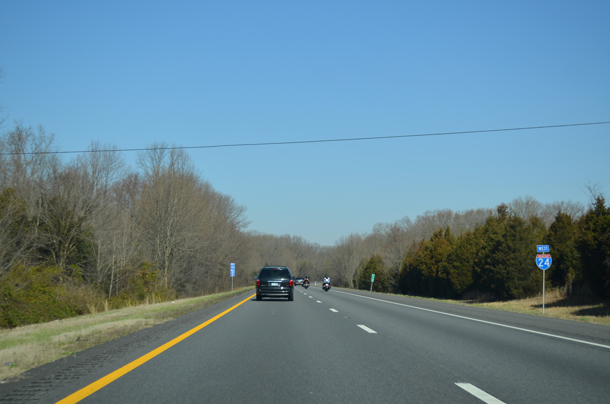
Interstate 24 generally bypasses Clarksville to the east, straddling the city limits northward from the Red River to Dunlop Lane.
04/05/13
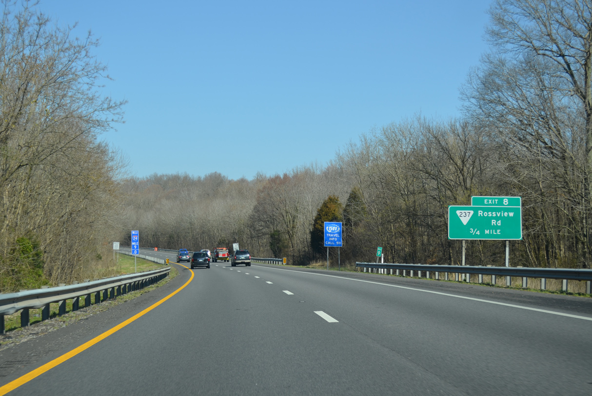
SR 237 (Rossville Road) meets Interstate 24 at a diamond interchange (Exit 8) adjacent to Clarksville-Montgomery County Corporate Business Park South and the Hankook Tire Manufacturing plant.
04/05/13
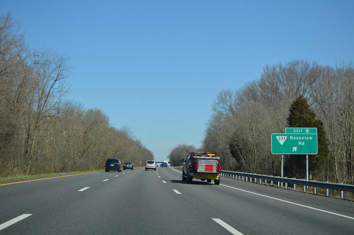
SR 237 (Rossview Road) runs 7.97 miles west from SR 238 to Rossville, Exit 8 and SR 374 (Warfield Boulevard) in Clarksville.
04/05/13
A forested median separates the Interstate 24 roadways northward to the Dunlop Lane overpass.
04/05/13
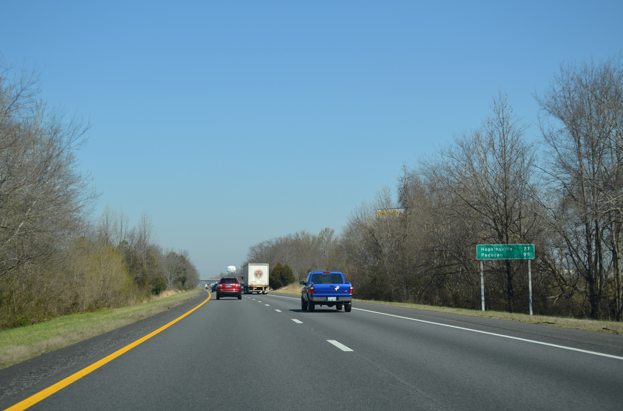
Hopkinsville, Kentucky is 27 miles to the north via I-24 and Pennyrile Parkway (Future I-169). Paducah is 95 miles to the northwest.
04/05/13
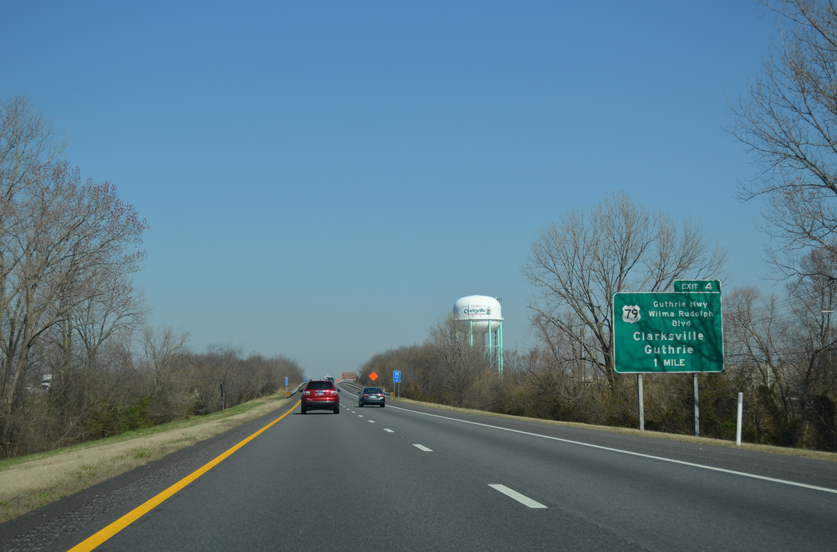
Originating at Russellville, Kentucky U.S. 79 travels southwest into Clarksville ahead of the diamond interchange at Exit 4.
04/05/13
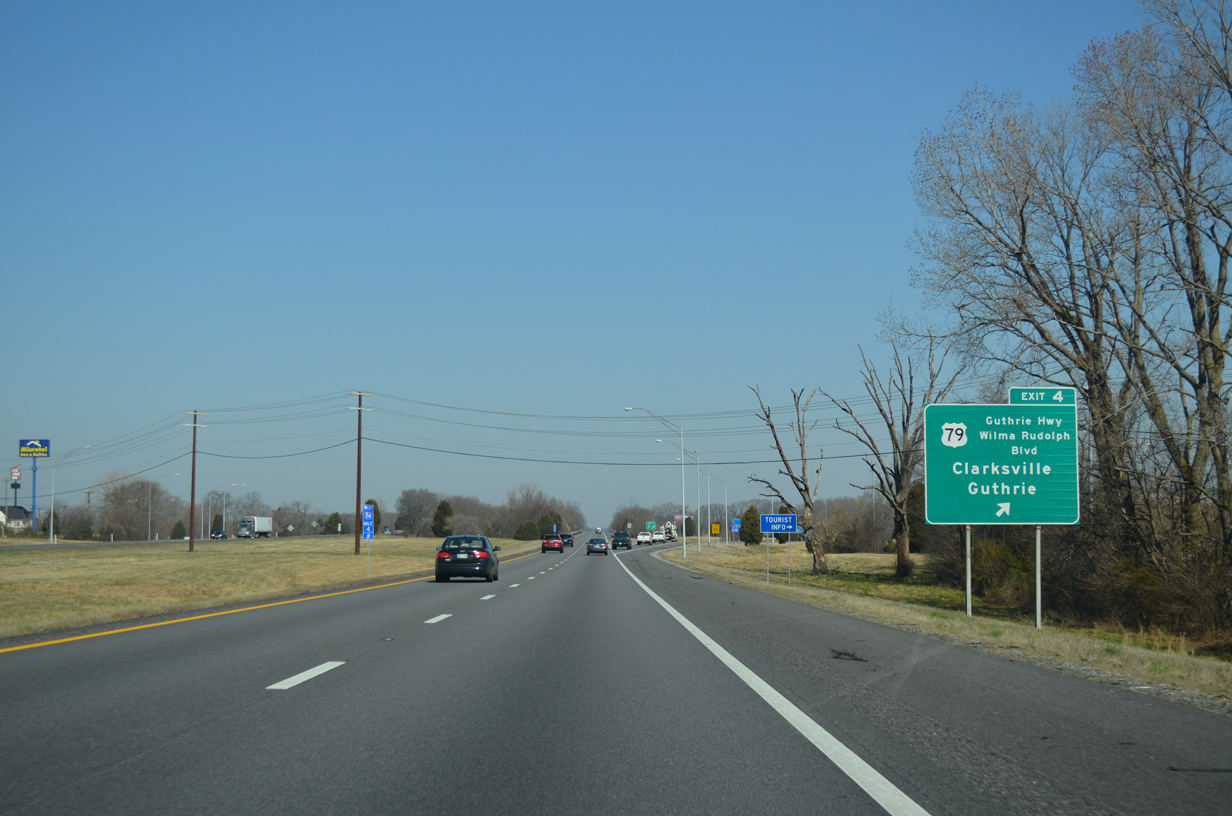
U.S. 79 follows Guthrie Highway 5.42 miles northeast into Kentucky by the city of Guthrie. Wilma Rudolph Boulevard, a five lane commercial boulevard, takes U.S. 79 onto College Street leading toward Downtown Clarksville.
04/05/13
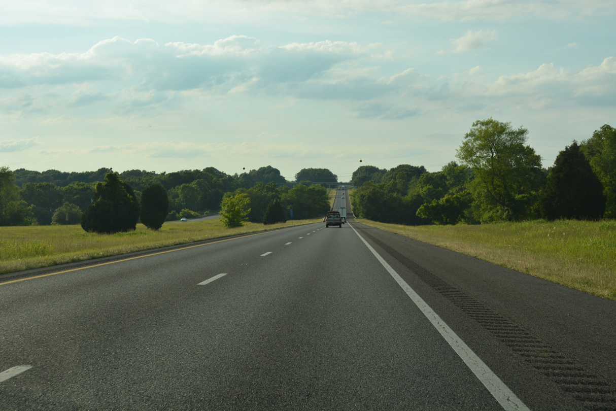
Interstate 24 lowers to cross Spring Creek northwest of U.S 79.
06/11/17
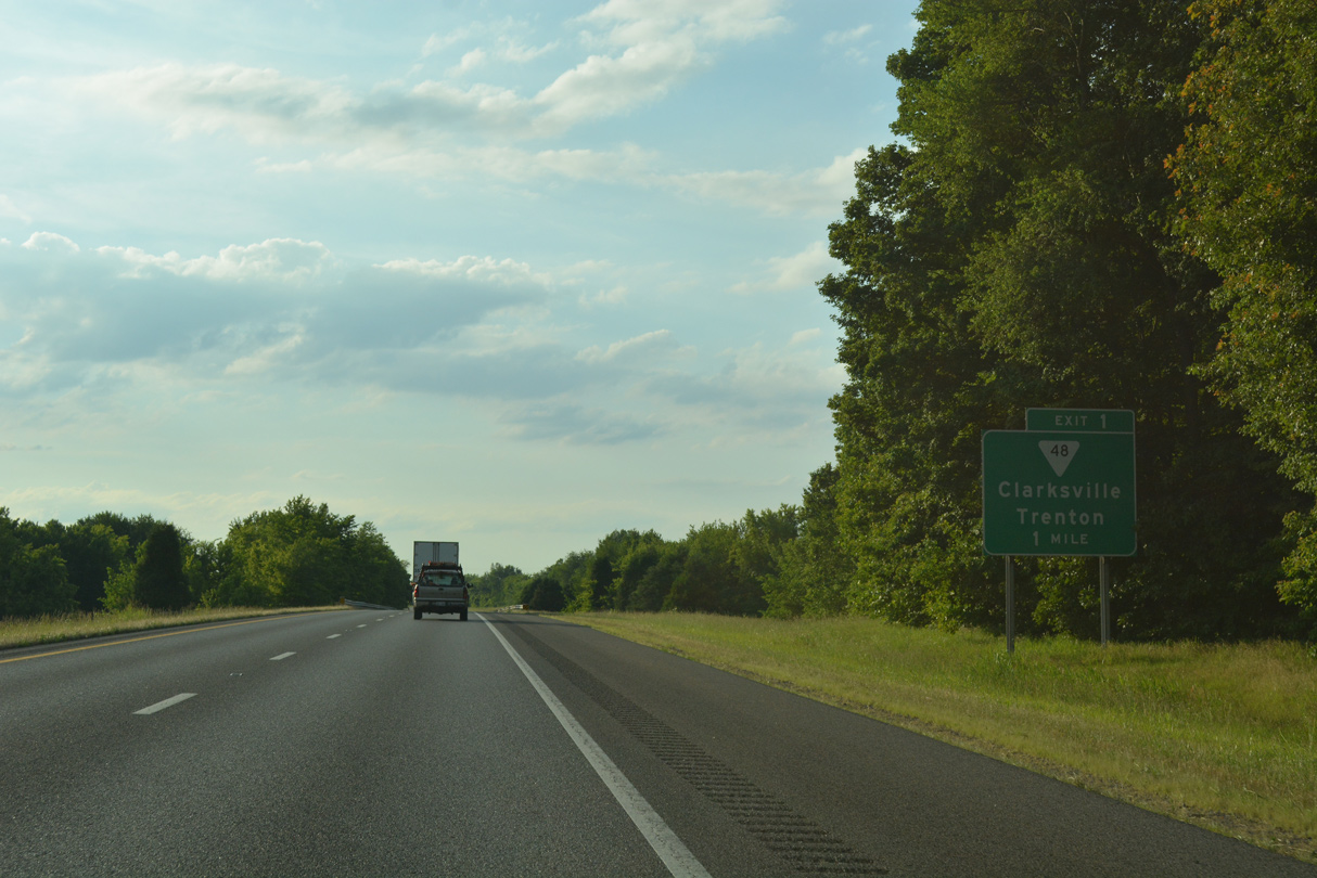
Interstate 24 passes through suburban areas of north Clarksville between Spring Creek and the diamond interchange (Exit 1) with SR 48 (Trenton Road).
06/11/17
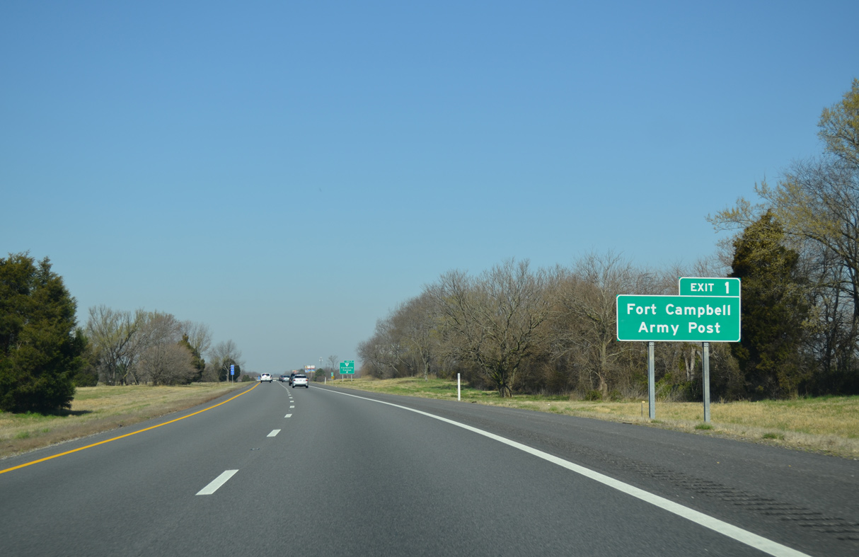
SR 48 (Trenton Road) south to nearby SR 236 (Tiny Town Road) west leads to U.S. 41A by Fort Campbell.
04/05/13
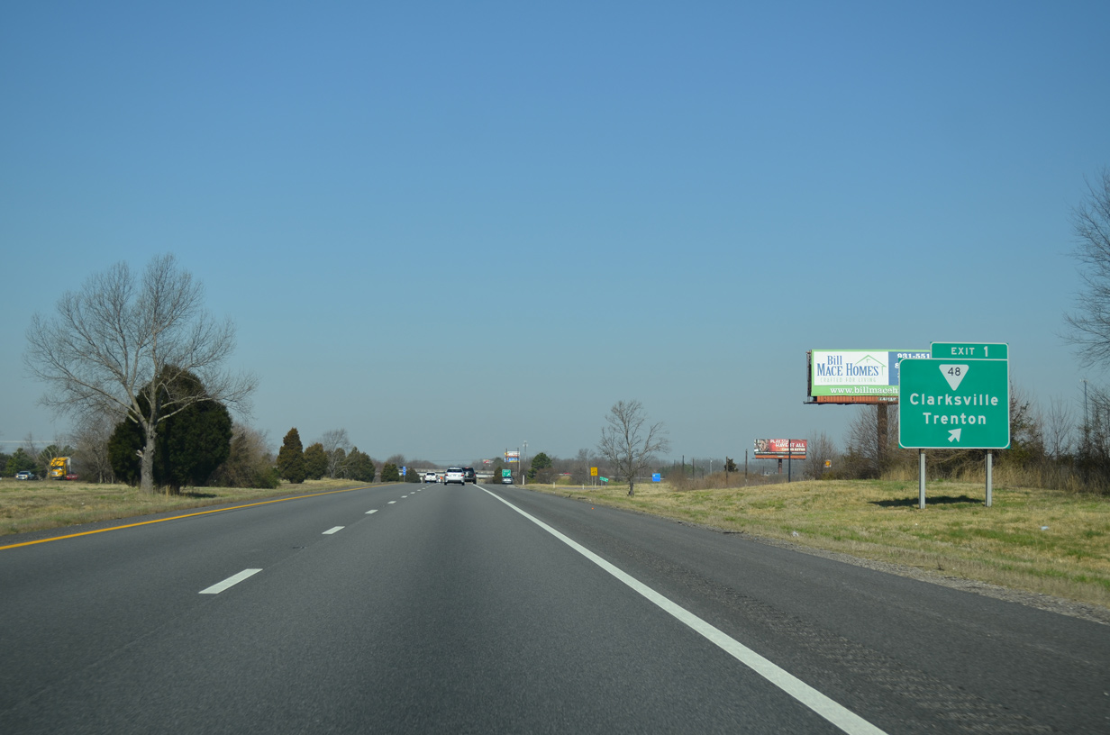
SR 48 branches 5.58 miles north from U.S. 79 (Wilma Rudolph Boulevard) along Trenton Road to become KY 104 (Clarksville Road) 0.79 miles north of Exit 1. KY 104 extends northward to U.S. 41 in the city of Trenton.
04/05/13
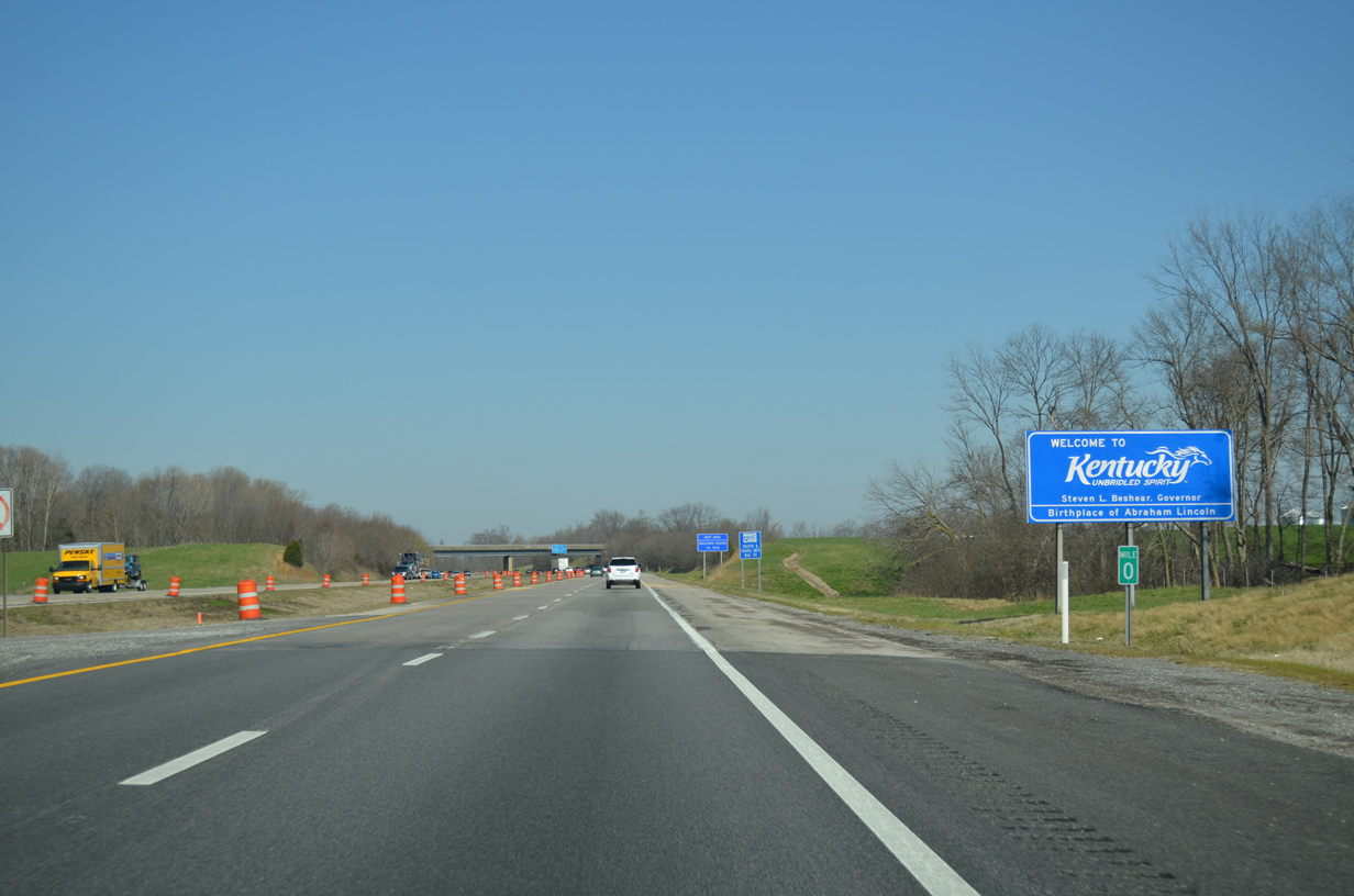
Interstate 24 enters the Bluegrass State 1.53 miles northwest of SR 48.
04/05/13
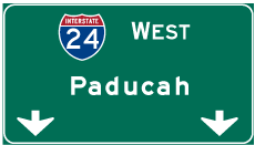

Photo Credits:
- ABRoads: 05/27/11
- Alex Nitzman: 04/05/13
- Alex Nitzman, Carter Buchanan: 06/11/17
Connect with:
Page Updated Thursday December 14, 2023.