
Interstate 24
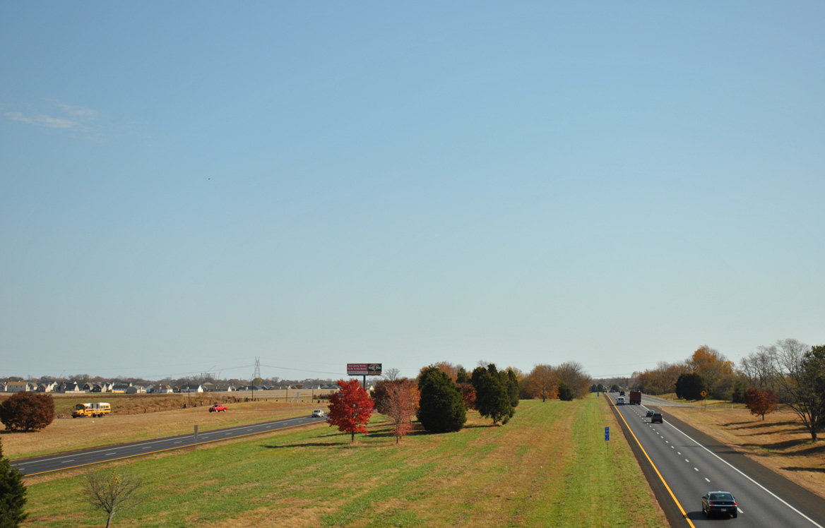
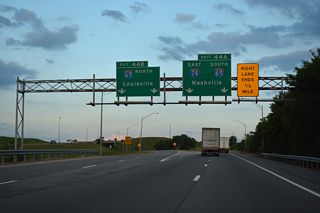
A wide median separates the roadways along I-24 through the exchange (Exit 1) with SR 48 (Trenton Road) in Clarksville. - 11/07/2011
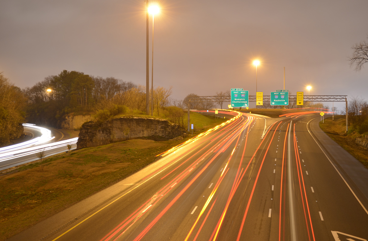
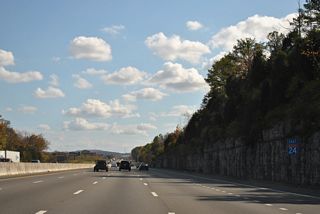
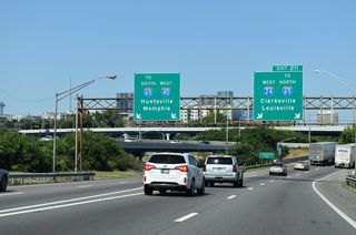
Amid limestone outcrops, a three-wye interchange joins I-24/40 in southeast Nashville. - 04/04/2013
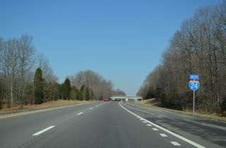
Angling southeast across central Tennessee, Interstate 24 links the cities of Clarksville, Nashville, Murfreesboro and Chattanooga. The freeway totals 180 miles through the Volunteer State, with a 4.10 mile gap around Raccoon Mountain through Dade County, Georgia. Overlaps also take the route alongside I-65 and I-40 through Nashville.
Interstate 24 Tennessee Guides
East
Clarksville to Nashville - 33 photos
Nashville - 53 photos
Nashville to Smyrna - 45 photos
Murfreesboro to Manchester - 49 photos
Monteagle to Georgia - 61 photos

Chattanooga - 34 photos
West
Chattanooga - 40 photos
Georgia to Manchester - 62 photos
Manchester to Murfreesboro - 59 photos
Smyrna to Nashville - 47 photos
Nashville - 42 photos
Pleasant View to Clarksville - 29 photos
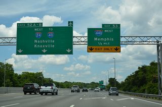
Growth of the Nashville area preceded expansion of I-24 to at least six overall lanes from SR 155 (Briley Parkway / Exit 43) south to U.S. 231 (Exit 81) at Murfreesboro. The freeway also widens to at least six lanes from the c/d roadway system with I-124 and U.S. 27 at the "Big Scramble Interchange" in Chattanooga east to Interstate 75.
Interstate 24 across Monteagle Mountain was constructed between 1962 and 1968. It replaced a winding two-lane road originally built in 1923.1 Initial stretches of I-24 completed in Tennessee by 1960 included one of the roadways across Monteagle Mountain and the bridges over the L & N Railroad lines between Exits 178 and 180A in Chattanooga.2
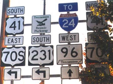
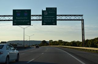
One of the last state named shields for I-24 was a trailblazer posted on U.S. 231 south at U.S. 41/70S and SR 96 in Murphreesboro. Photo by Carter Buchanan (11/01). - 04/04/2013
Several portions of Interstate 24 were open to traffic between Nashville and Chattanooga per the 1970 Tennessee Official Highway Map. The route northwest from the split with I-65 in Nashville was incomplete.
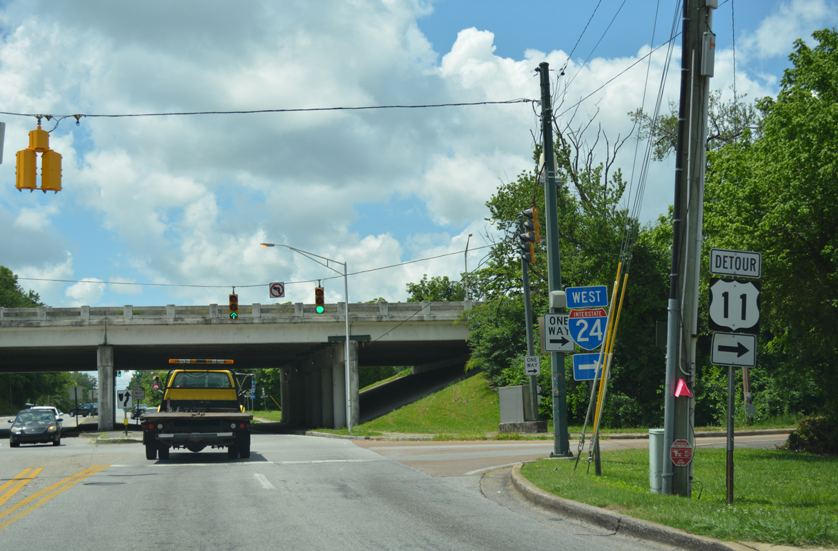
Central Avenue heads south from U.S. 41/76 (E Main Street) to Rossville Boulevard in Chattanooga. I-24 trailblazers split traffic for eastbound via Rossville Boulevard (SR 27) south to the cloverleaf interchange at Exit 180.
01/21/13
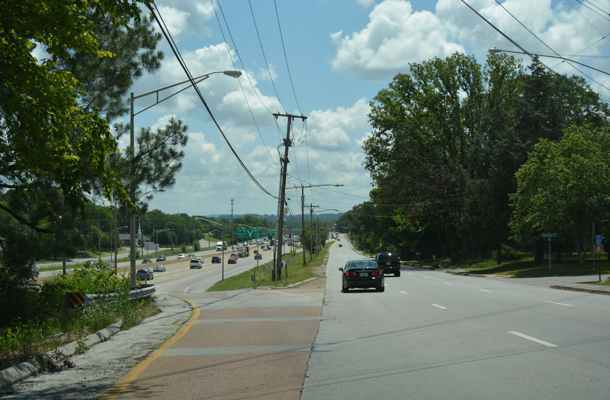
A loop ramp connects I-24 east with U.S. 11/64 (E 23rd Street) at Central Avenue north. Motorists bound for I-24 west are directed toward the Big Scramble Interchange from Central Avenue south.
01/21/13
Waldron Road joins an array of distribution centers and warehouses with Interstate 24 in the city of La Vergne.
09/07/20
Waldron Road south entering the parclo interchange with Interstate 24 at Exit 64.
09/07/20
North from Waldron Road, Interstate 24 westbound leads into Nashville and Davidson County.
09/07/20
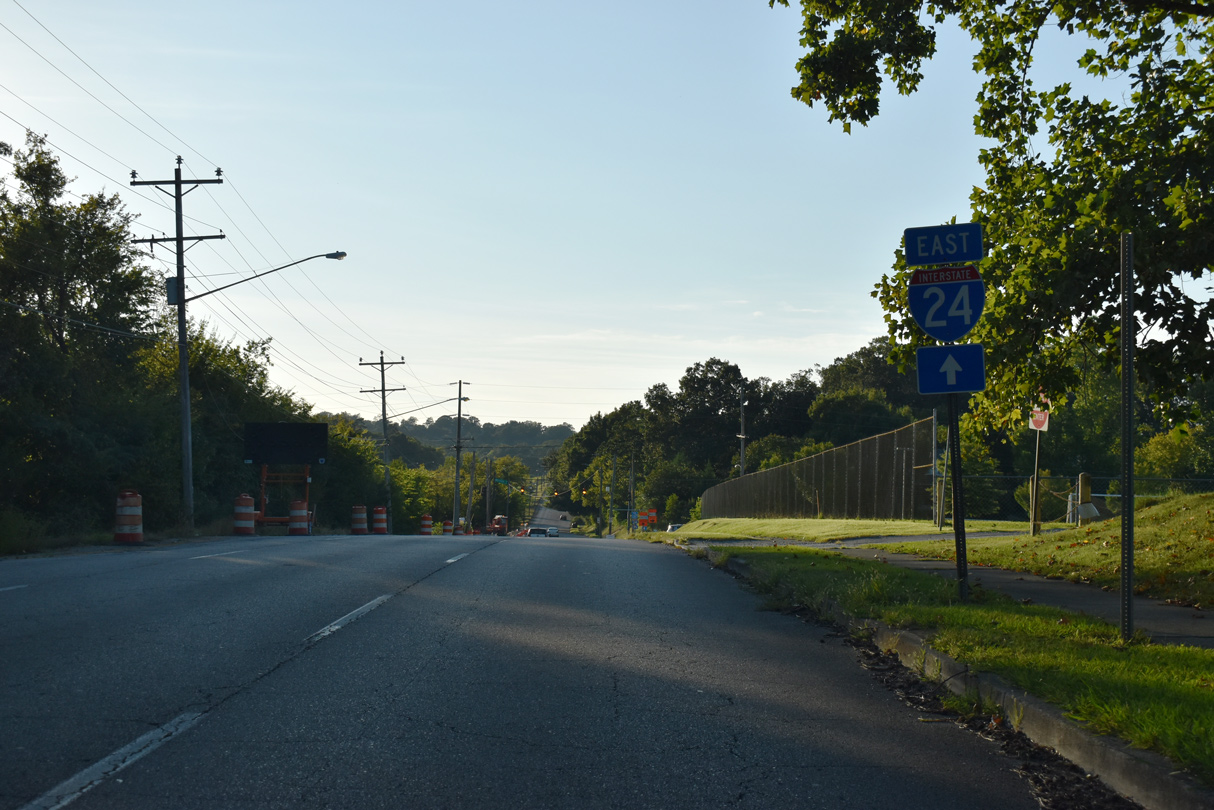
Medical Center Parkway extends 3.4 miles west from U.S. 41/70S (NW Broad Street) in Murfreesboro to Interstate 24.
01/15/19
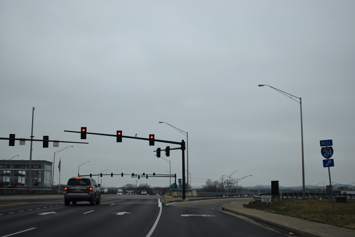
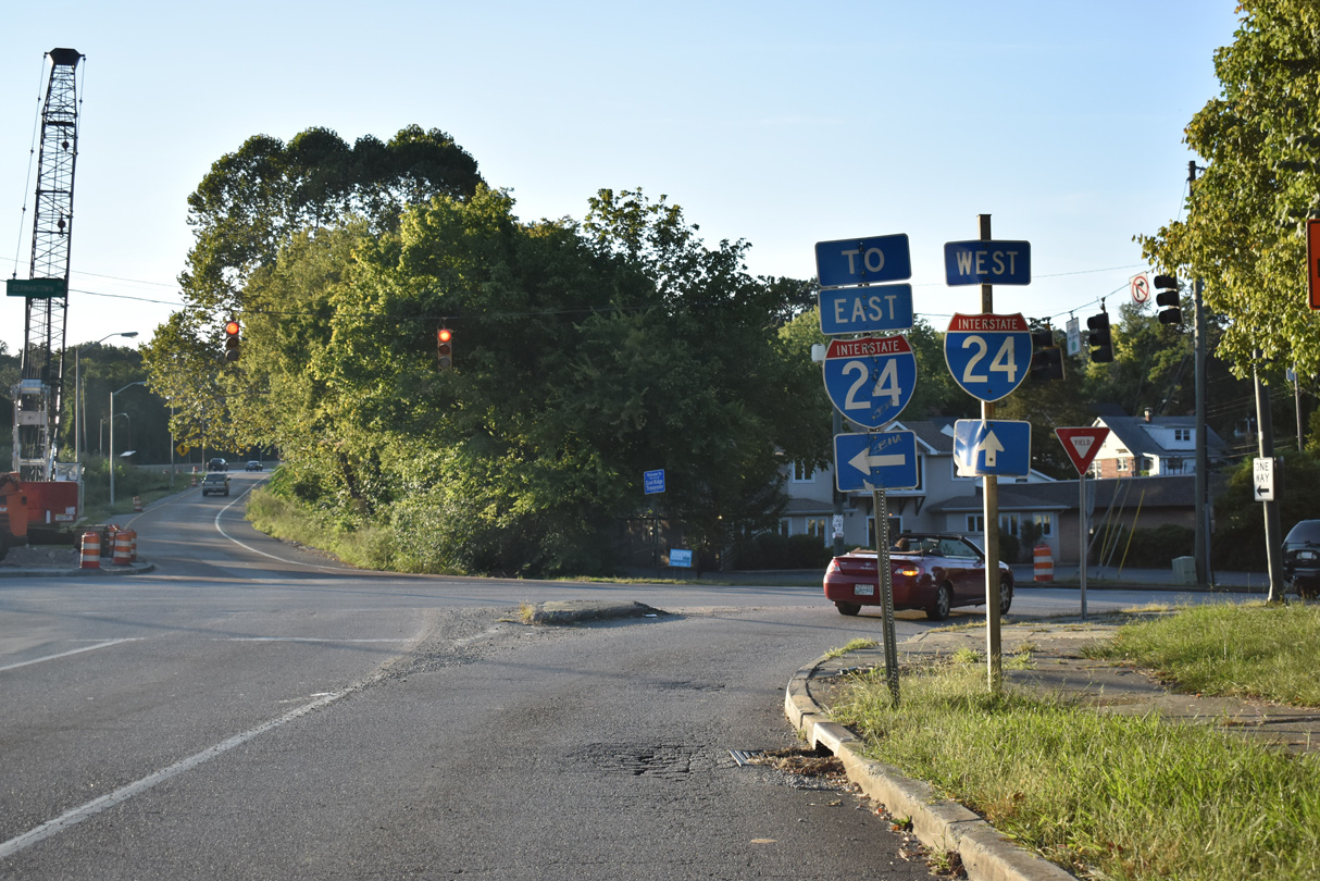
I-24 travels northwest from Medical Center Parkway to Interstate 840 at the succeeding exit.
01/15/19
A single point interchange joins Medical Center Parkway with Interstate 24 at Exit 76.
01/15/19
Medical Center Parkway becomes Fortress Boulevard leading south from I-24 to SR 96 (Franklin Road).
01/15/19
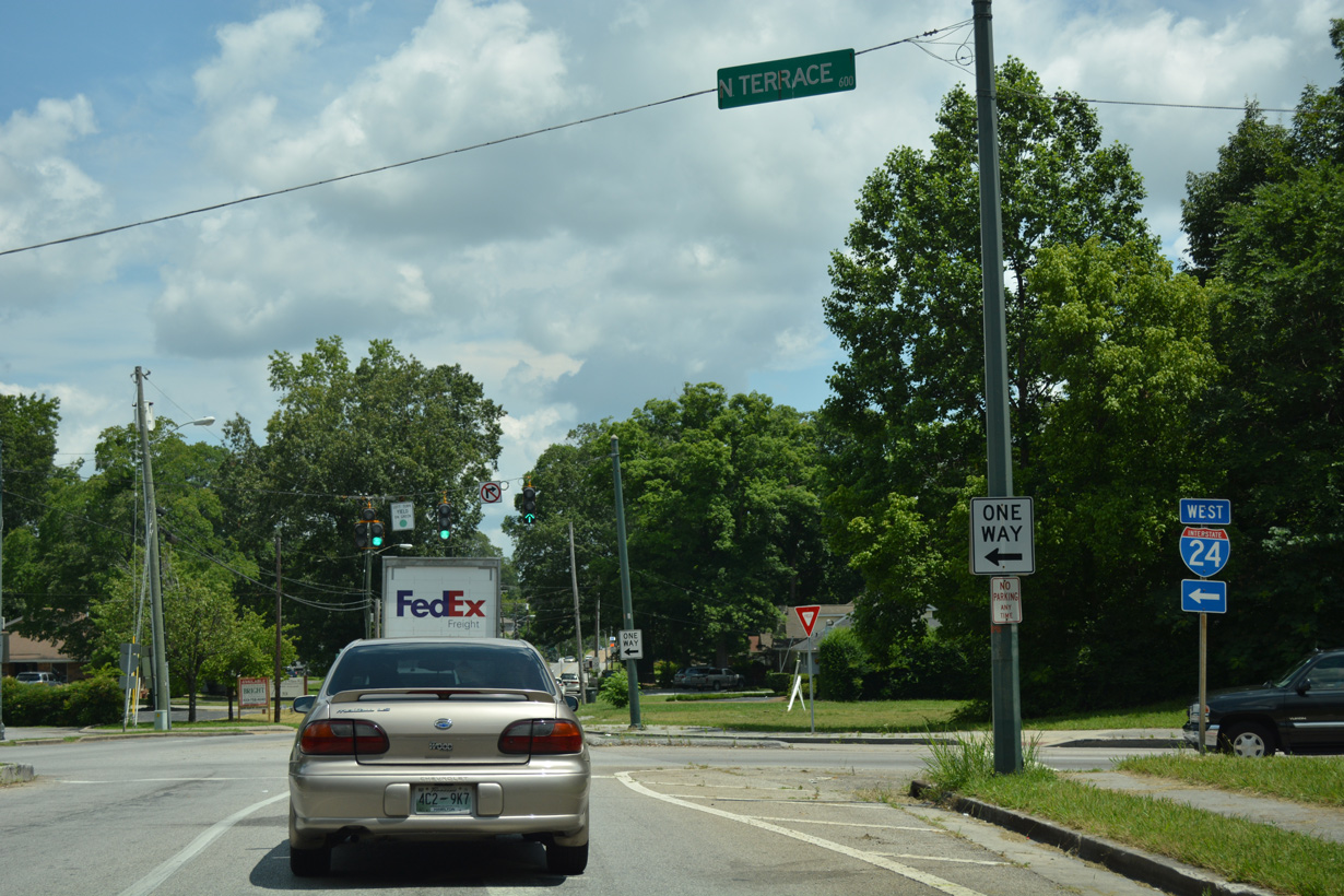
Germantown Road north at N Terrace and the westbound entrance ramp for Interstate 24. Germantown Road runs along the East Ridge and Chattanooga city line along this stretch.
06/12/17
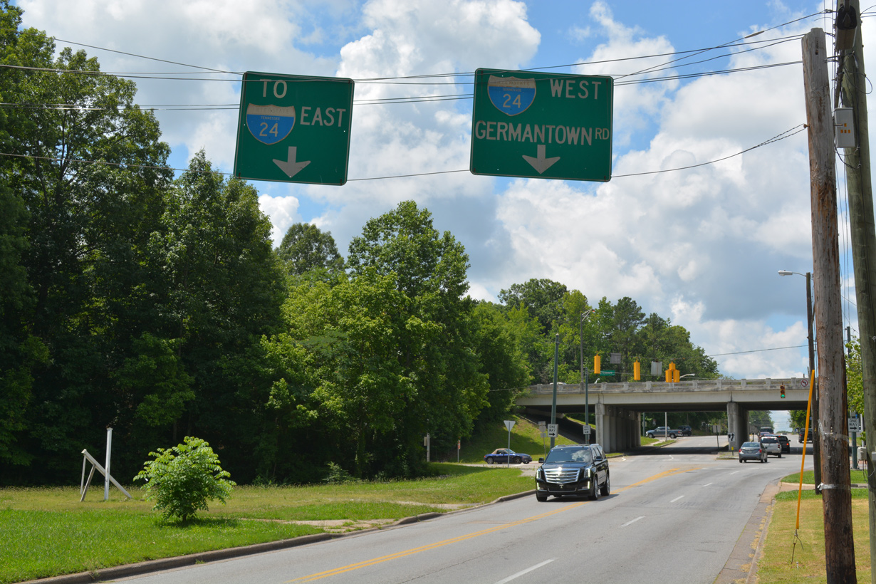
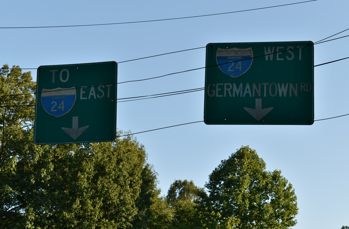
Vintage signs for Interstate 24 precede I-24 west and S Terrace east to I-24 east on Germantown Road south in east Chattanooga.
06/12/17
Germantown Road leads south from I-24 into East Ridge while I-24 west leads to Downtown Chattanooga.
09/06/20
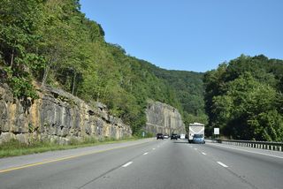
West from Germantown Road, Interstate 24 ascends across Missionary Ridge through East Ridge to Ridgedale and Fort Cheatham in Chattanooga.
06/12/17
S Terrace at the slip ramp ramp onto Interstate 24 east between Belvoir Avenue and S Moore Road in East Ridge.
06/12/17
N Terrace comprises the westbound frontage for Interstate 24 from Spring Creek Road near I-75 to Germantown Road in Chattanooga. An I-24 trailblazer precedes the intersection with Belvoir Avenue at the South Brainerd neighborhood.
09/07/20
N Terrace west at Interstate 24 west. N Terrace connects the ramps at the split diamond interchange (Exit 183) joining I-24 with Belvoir Avenue and Germantown Road between East Ridge and Chattanooga.
09/07/20
References:
- "Facts About Tennessee's Interstate System 50th Anniversary, 1956-2006," Tennessee Department of Transportation, 2006 web site.
- "Tennessee Interstate Highways Map," Department of Highways, 1960.
Photo Credits:
- ABRoads: 01/21/13, 09/06/20, 09/07/20
- Brent Ivy: 01/15/19
- Alex Nitzman: 06/12/17
Connect with:
Page Updated Thursday July 25, 2024.