
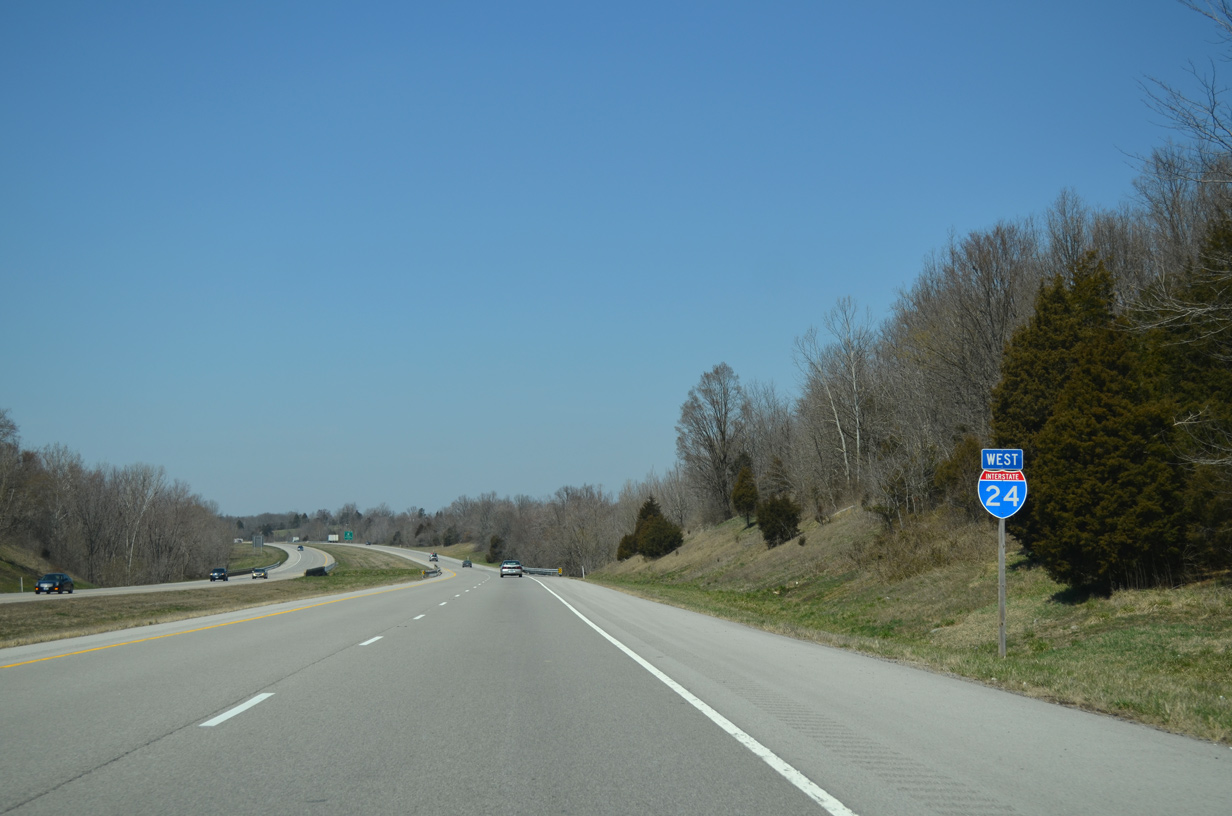
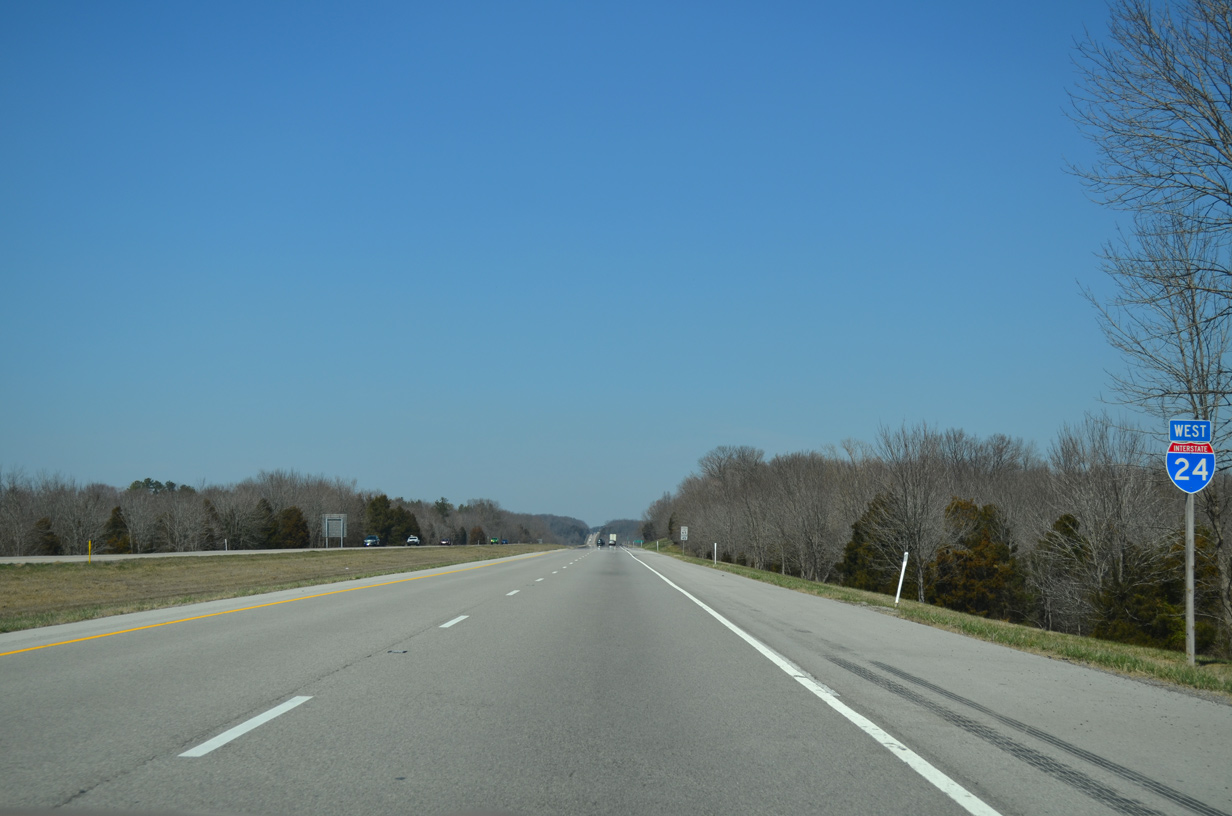
Interstate 24 West
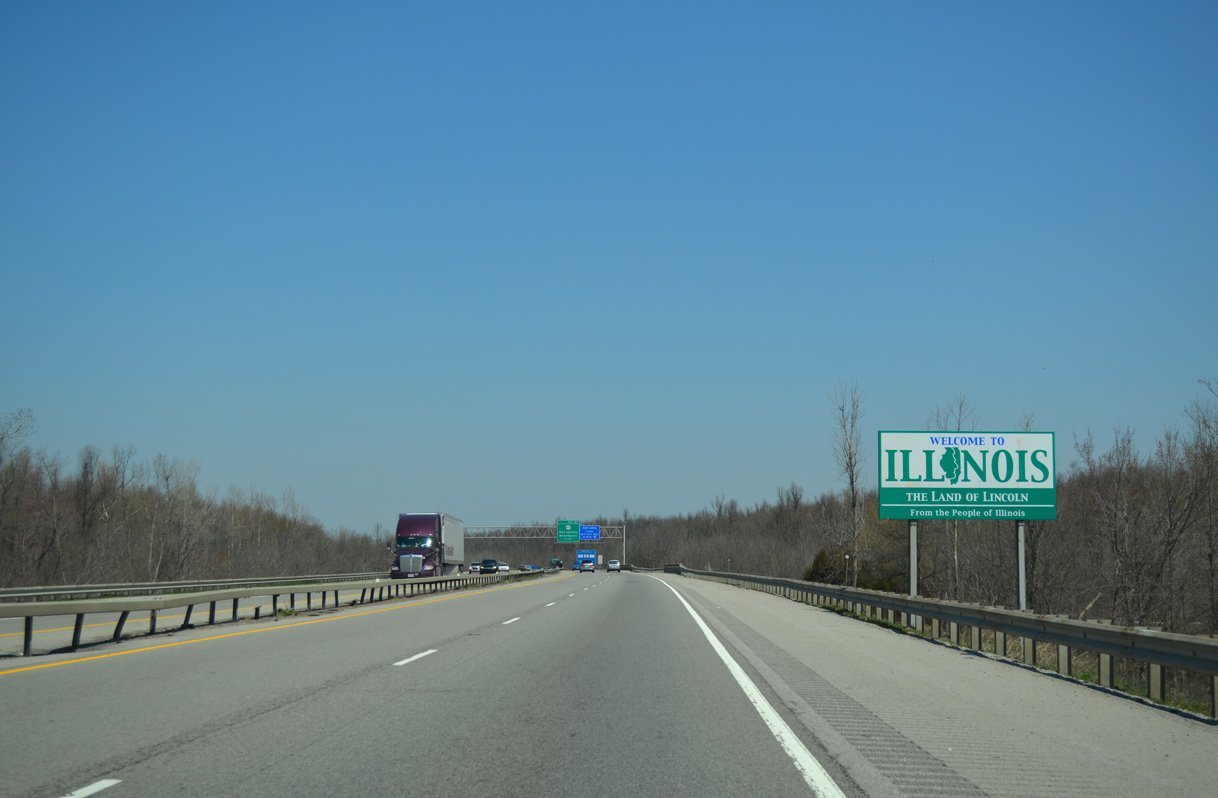
Interstate 24 west enters Massac County, Illinois through Fort Massac State Park in the city of Metropolis.
04/05/13
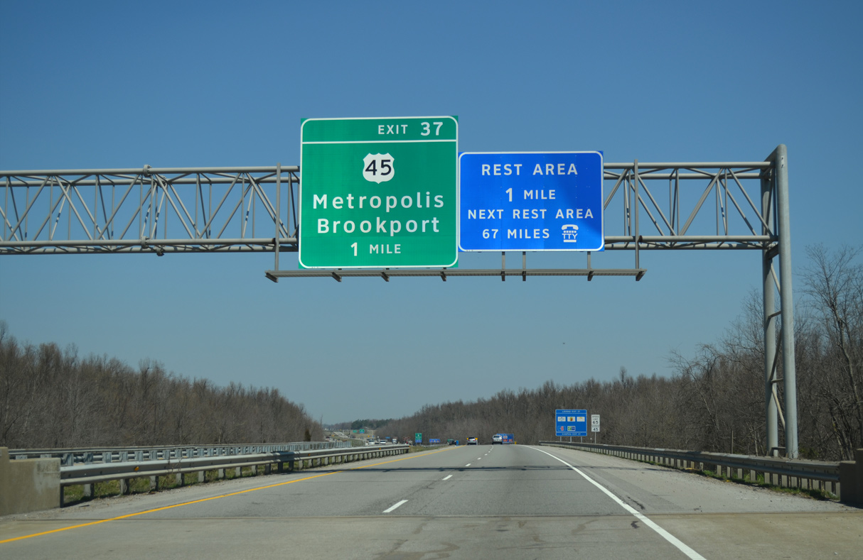
An off-freeway rest area lies just east of Exit 1 along U.S. 45. The next facility for northbound travelers is the Rend Lake Rest Area along I-57 beyond Benton.
04/05/13
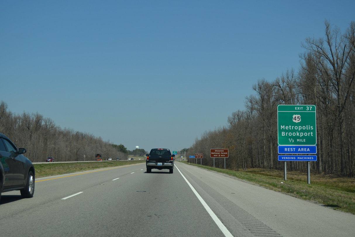
U.S. 45 loops 5.49 miles northwest from the Irvin S. Cobb Bridge spanning the Ohio River to meet Interstate 24 at Exit 1.
04/05/13
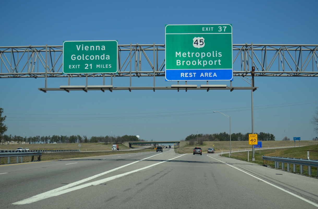
U.S. 45 heads south from the diamond interchange at Exit 1 to the city of Brookport and Paducah, Kentucky. West from I-24, U.S. 45 arcs southward to Fort Massac State Park and then northward through Downtown Metropolis.
04/05/13
Interstate 24 straddles the northeast Metropolis city line another 0.97 miles beyond the exchange with U.S. 45.
04/05/13
A ten mile exit less stretch ensues along Interstate 24 westbound between U.S. 45 and Big Bay Road. I-24 converges with I-57 north in 35.5 miles.
04/05/13
Rosebud Road spans Interstate 24 east of Round Knob, and 8.15 miles north of the Ohio River.
04/05/13
The roadways for Interstate 24 separate across hills between Rosebud Road and the Illinois Central Railroad line.
04/05/13
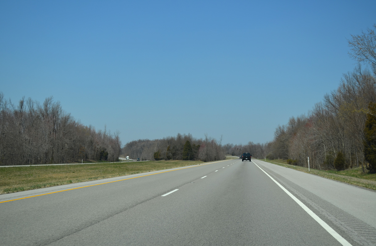
A linear stretch leads Interstate 24 north across Bear Creek Ditch to the diamond interchange at Exit 27.
04/05/13
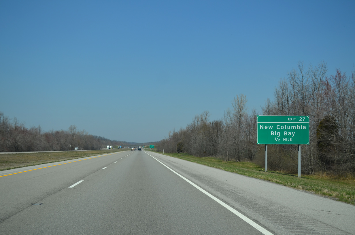
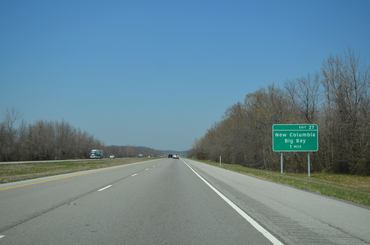
Big Bay Road (CR 10) stems 0.45 miles east from parallel New Columbia Road (CR 1) to Interstate 24. Big Bay Station is 2.08 miles further east along CR 10 at CR 11 (Marion Road).
04/05/13
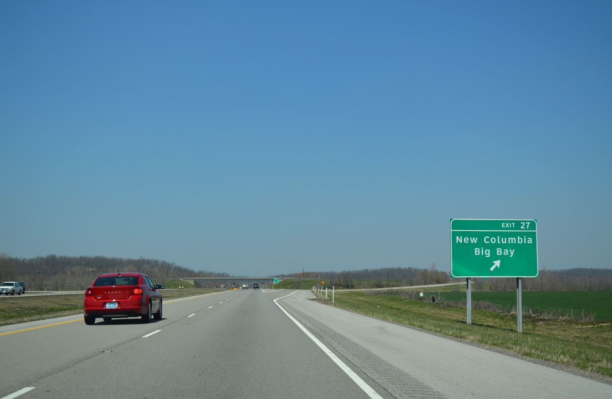
Located north of the New Columbia Bluffs, the unincorporated community of New Columbia lies 1.92 miles northwest of Interstate 24 along Massac County Route 1.
04/05/13
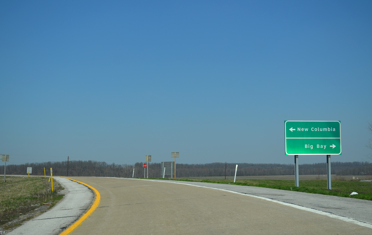
Massac County Route 10 runs 4.30 miles east from New Columbia Road into Pope County. CR 9 extends Big Bay Road another 1.04 miles to IL 145.
04/05/13
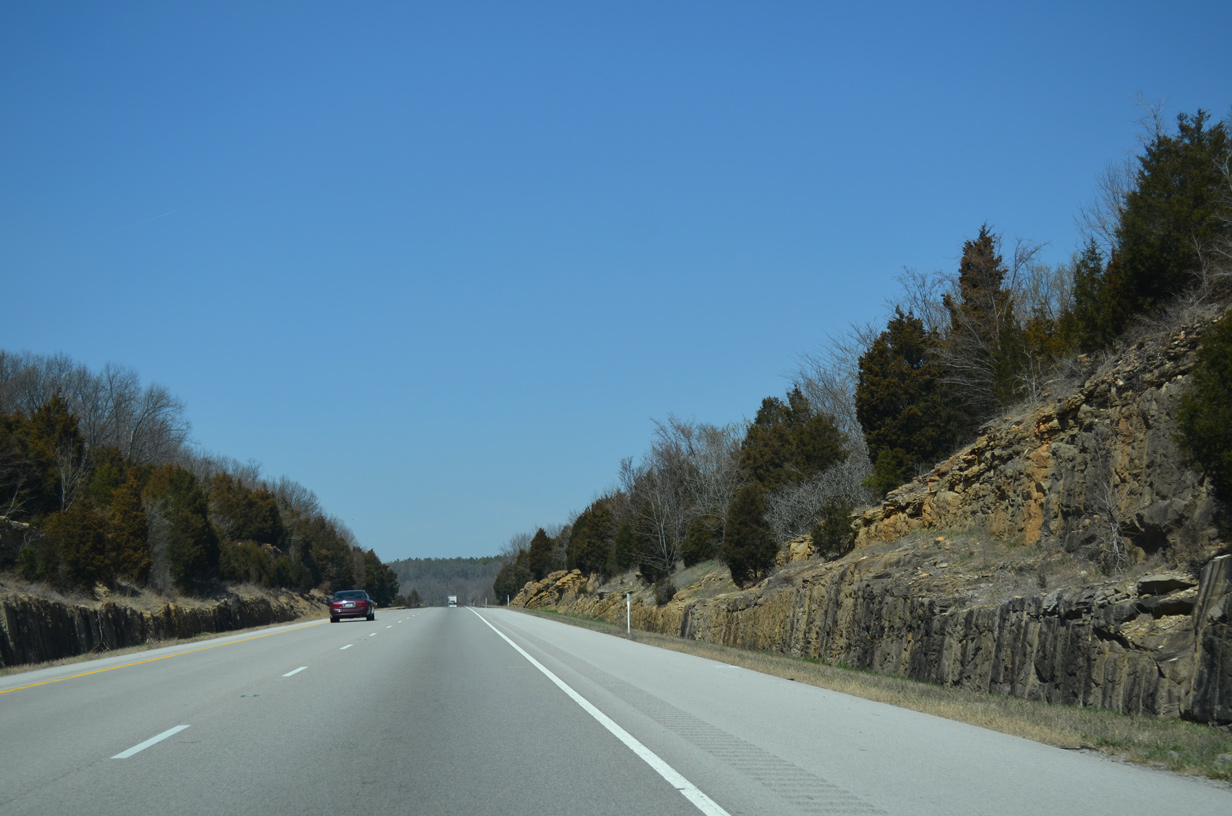
Continuing north from Big Bay Road, Interstate 24 passes between New Columbia Bluffs and Cagle Bluff.
04/13/13
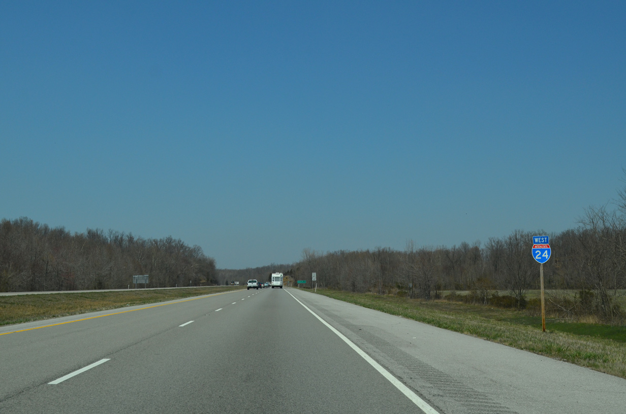
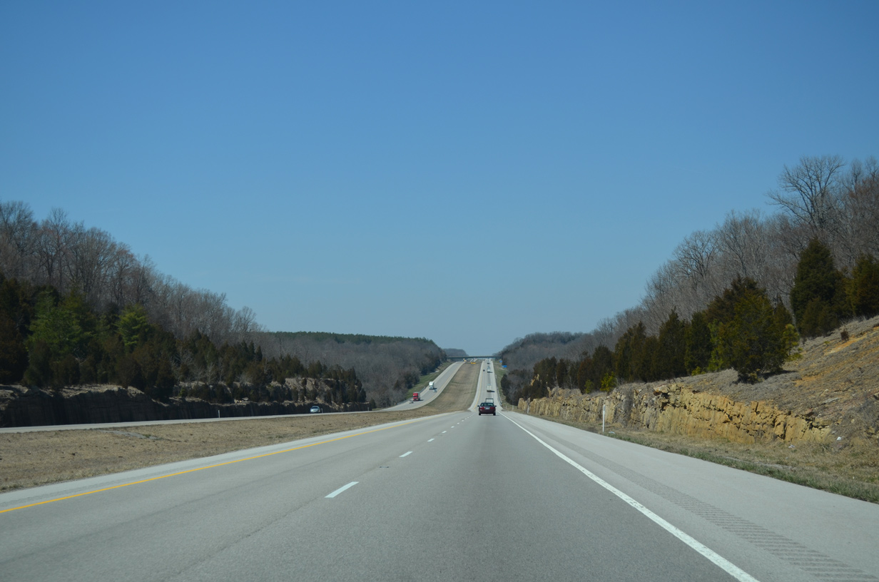
26 miles of Interstate 24 westbound remain.
04/13/13
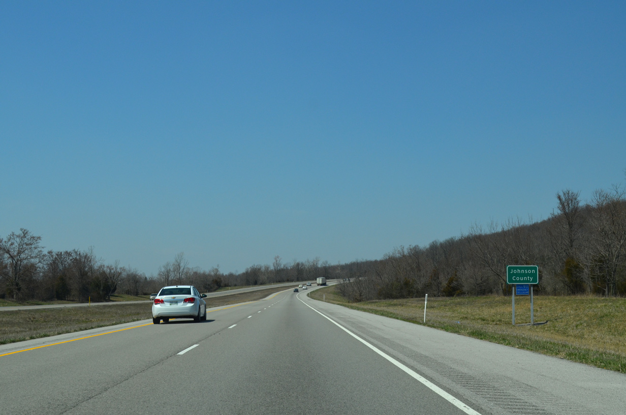
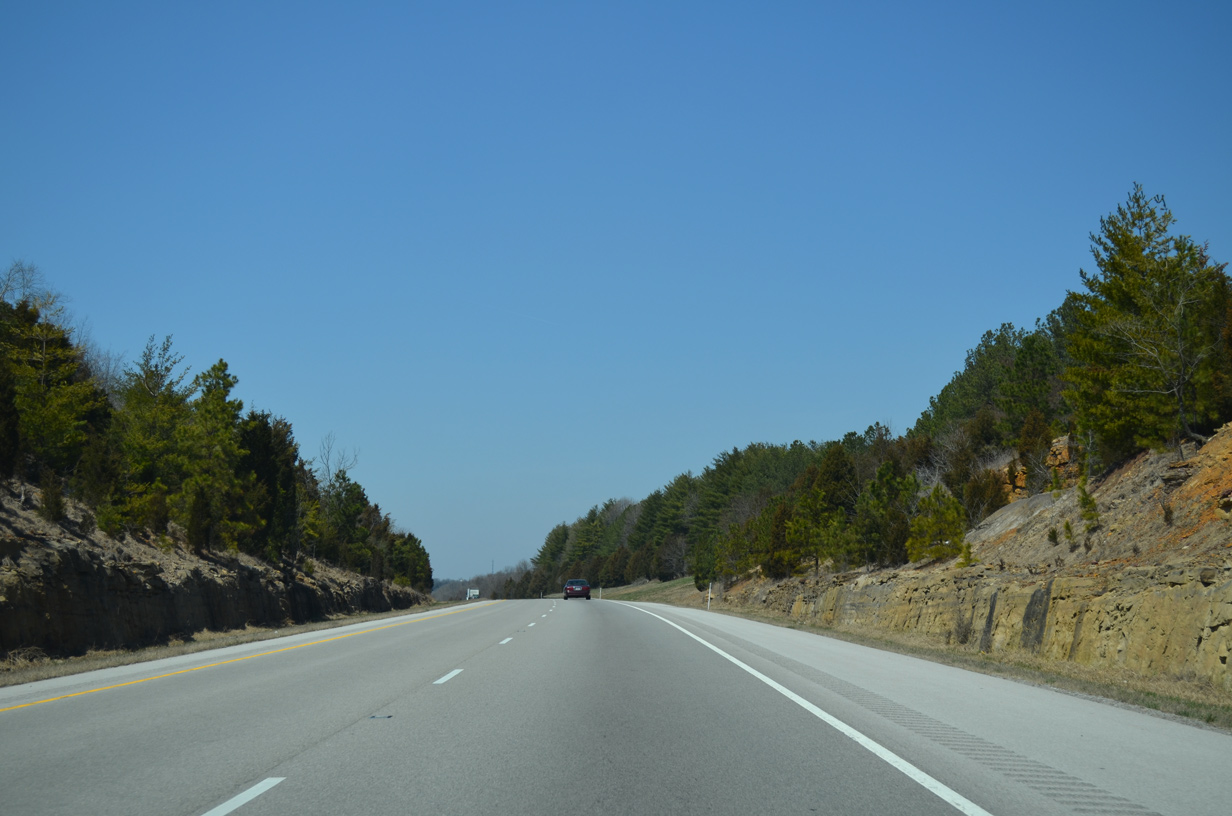
Angling northwest past Samoth, Interstate 24 enters Johnson County.
04/13/13
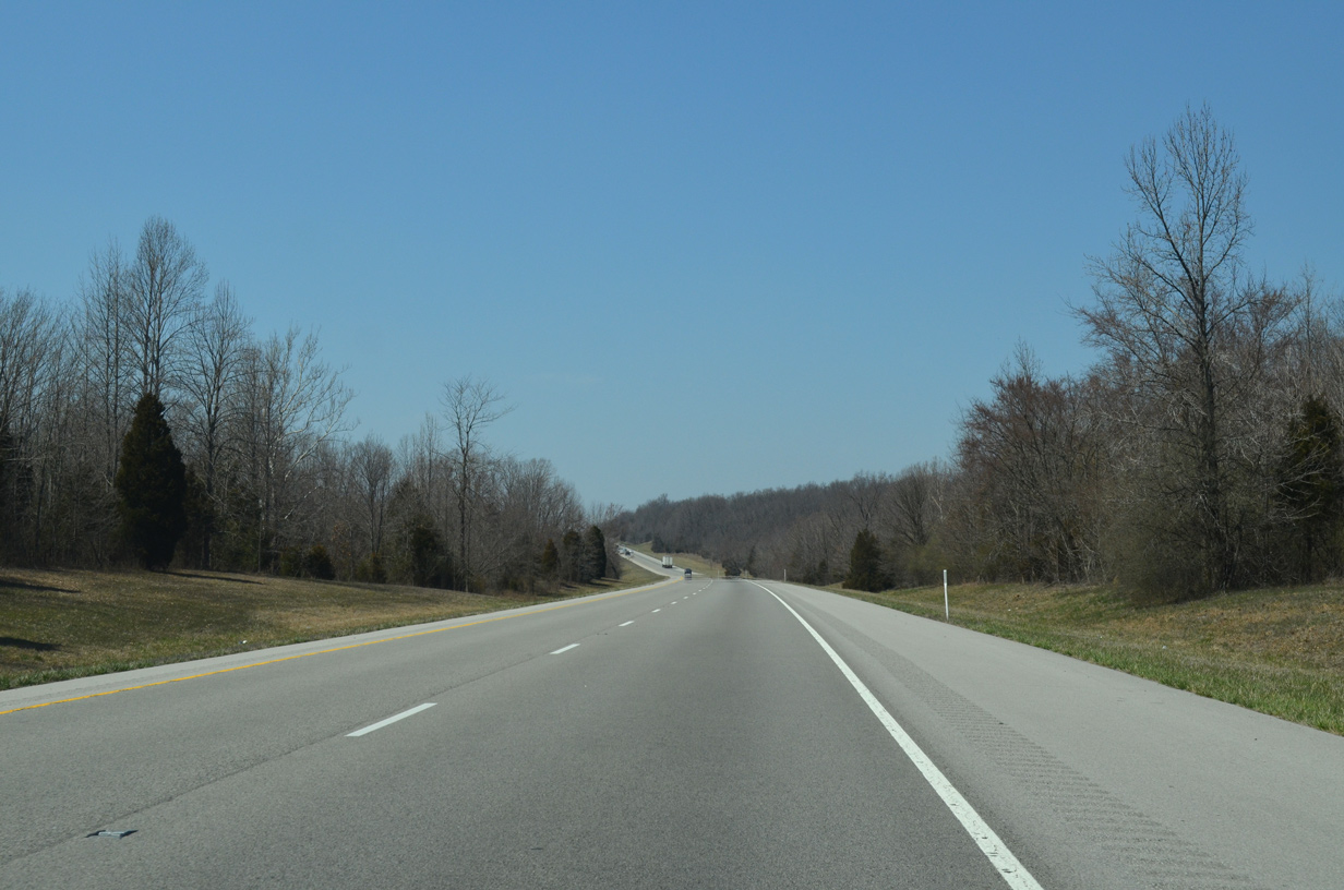
The roadways for Interstate 24 diverge across the bluffs north of Crossroads.
04/13/13
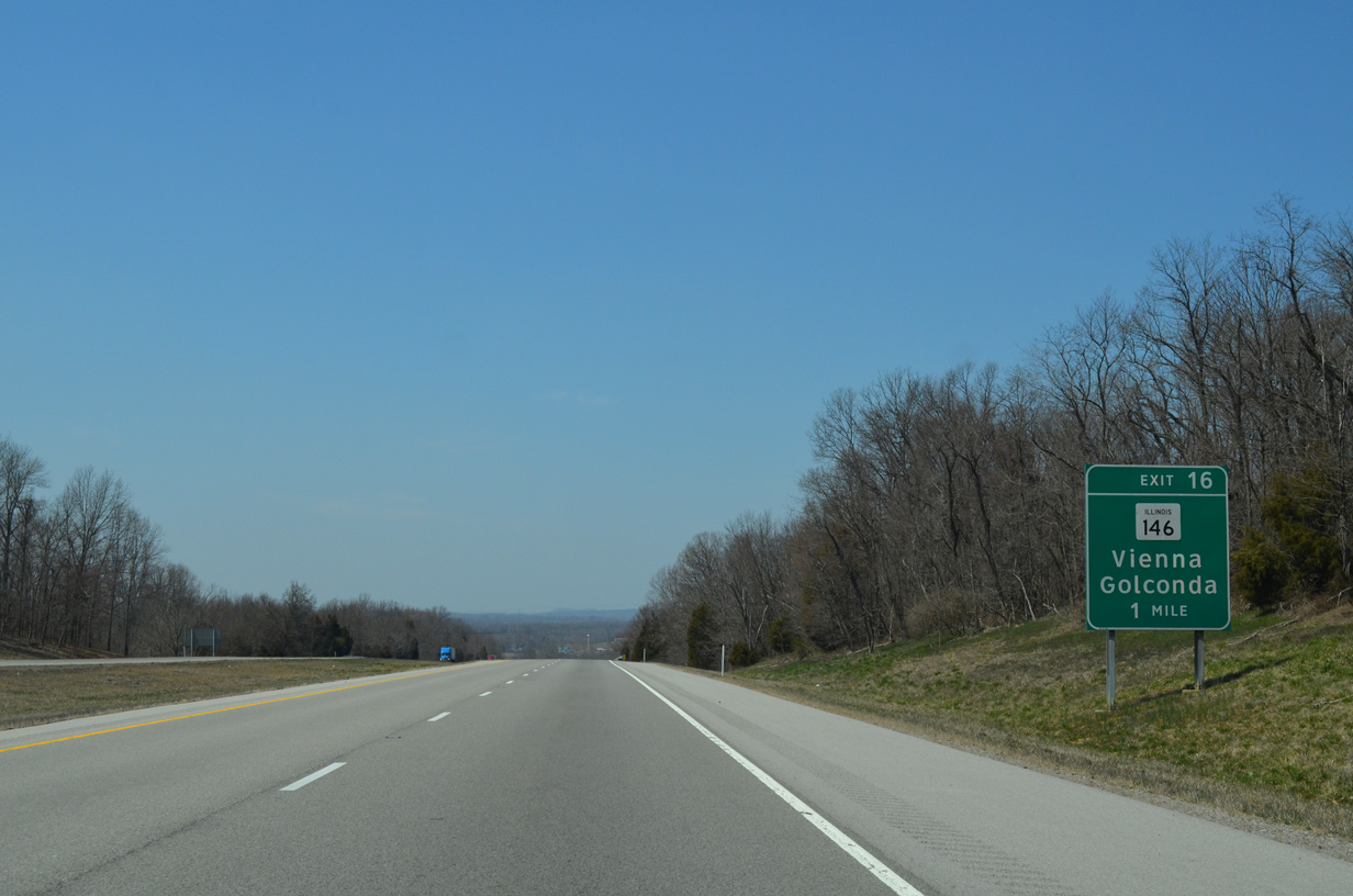
IL 146 converges with Interstate 24 at the succeeding exit within the city of Vienna.
04/13/13
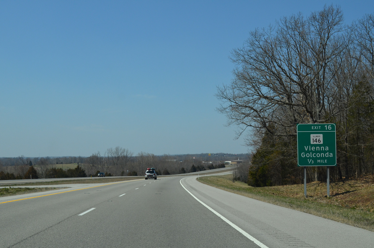
IL 146 (Vine Street) leads 1.29 miles west from Interstate 24 to U.S. 45 (1st Street) at the Vienna city center.
04/13/13
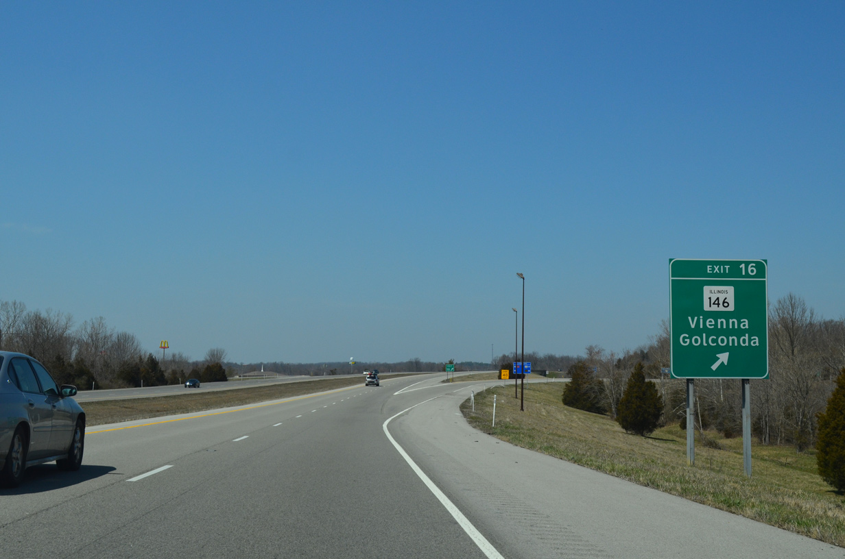
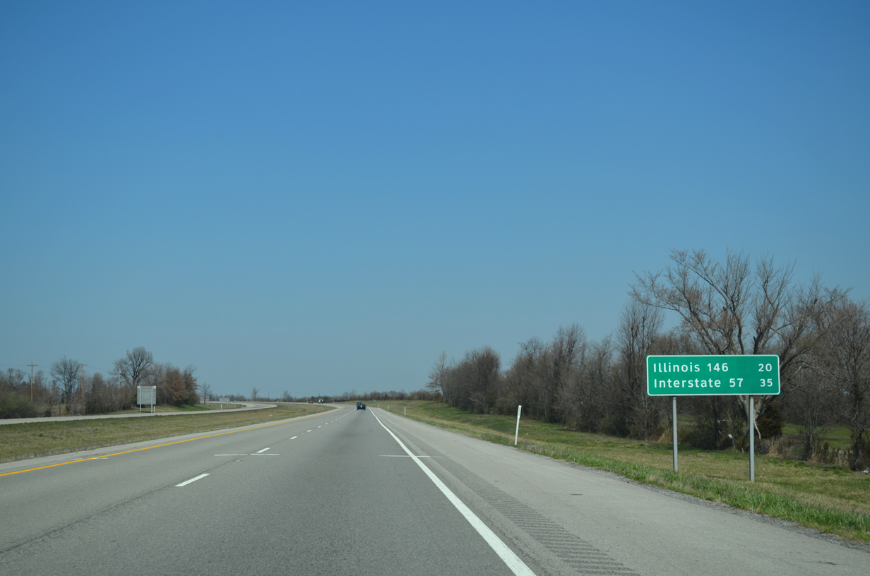
East from the diamond interchange at Exit 16, IL 146 travels 22.09 miles to Dixon Springs and the Ohio River city of Golconda.
04/13/13
Leaving the Vienna city limits, Interstate 24 westbound spans Little Cache Creek.
04/13/13
U.S. 45 meets Interstate 24 for the second time north from Vienna to the unincorporated community of Bloomfield.
04/13/13
U.S. 45 travels northeast from Bloomfield to Shawnee National Forest and the villages of Burnside and Stonefort.
04/13/13
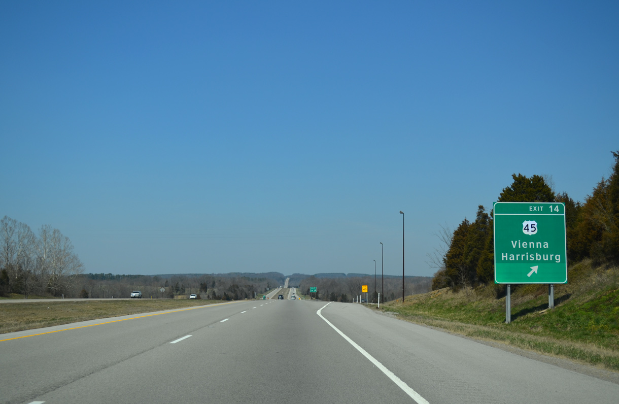
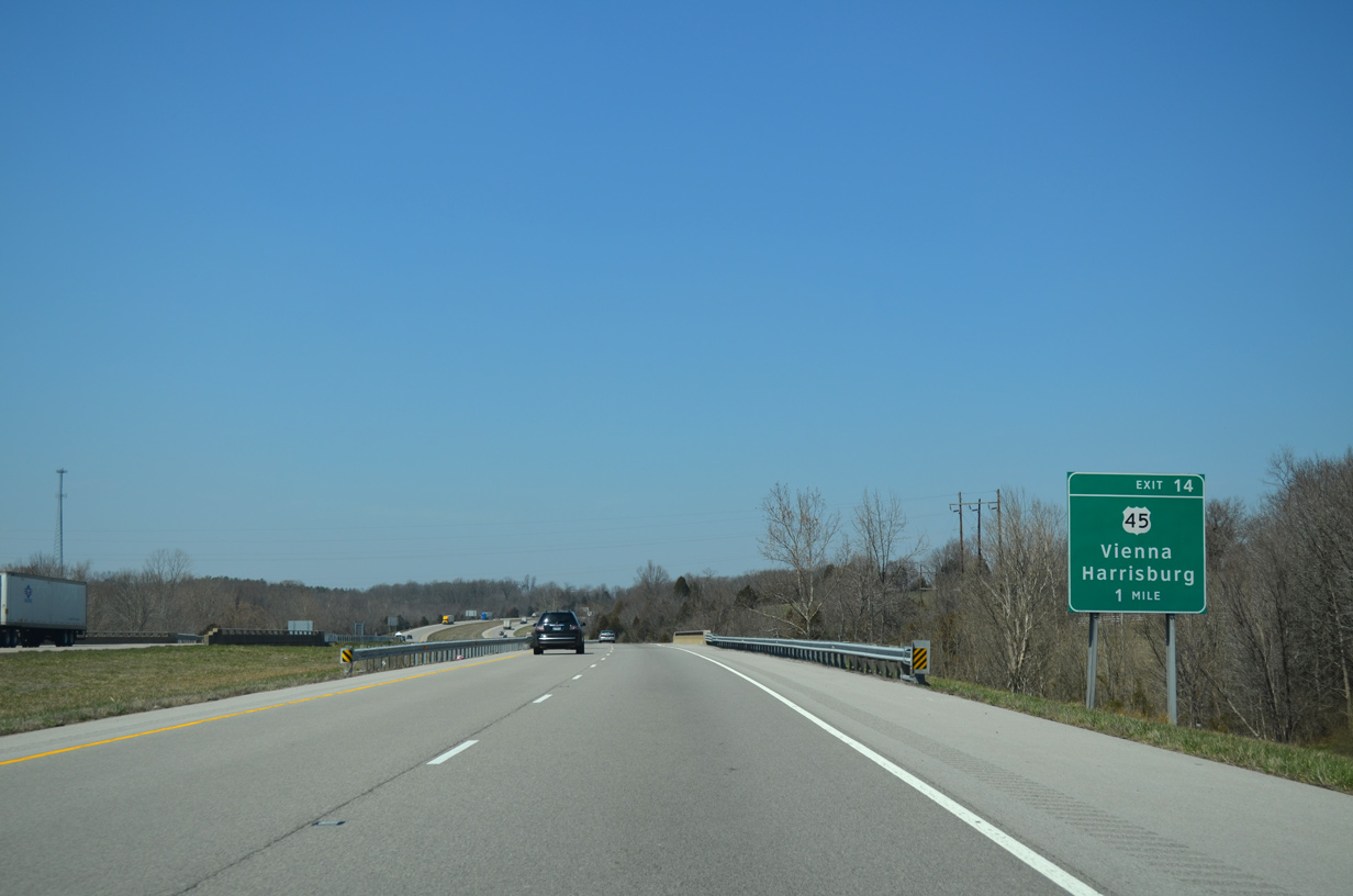
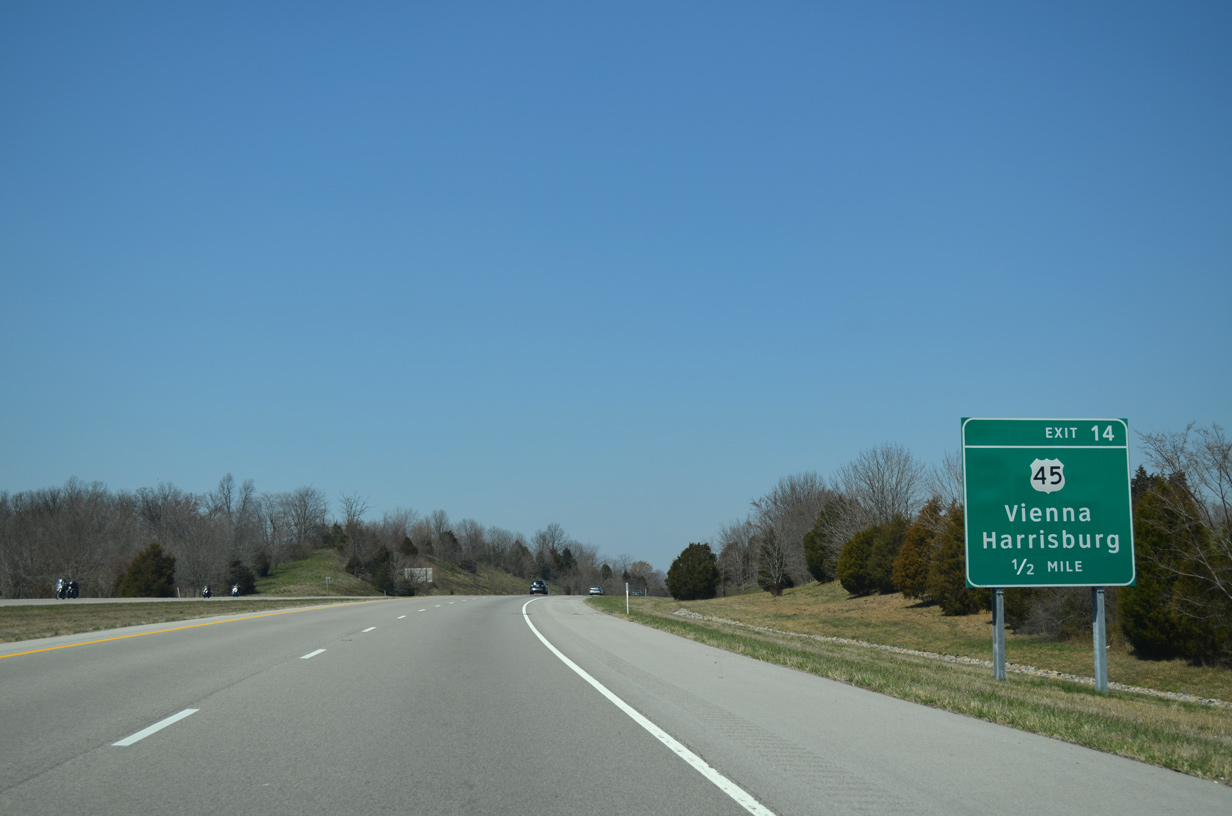
The Saline County seat of Harrisburg lies 30 miles northeast from the diamond interchange (Exit 14) with I-24 along U.S. 45.
04/13/13
IDOT recorded 18,400 vehicles per day in 2017 along Interstate 24 north of U.S. 45/ Exit 14.
04/13/13
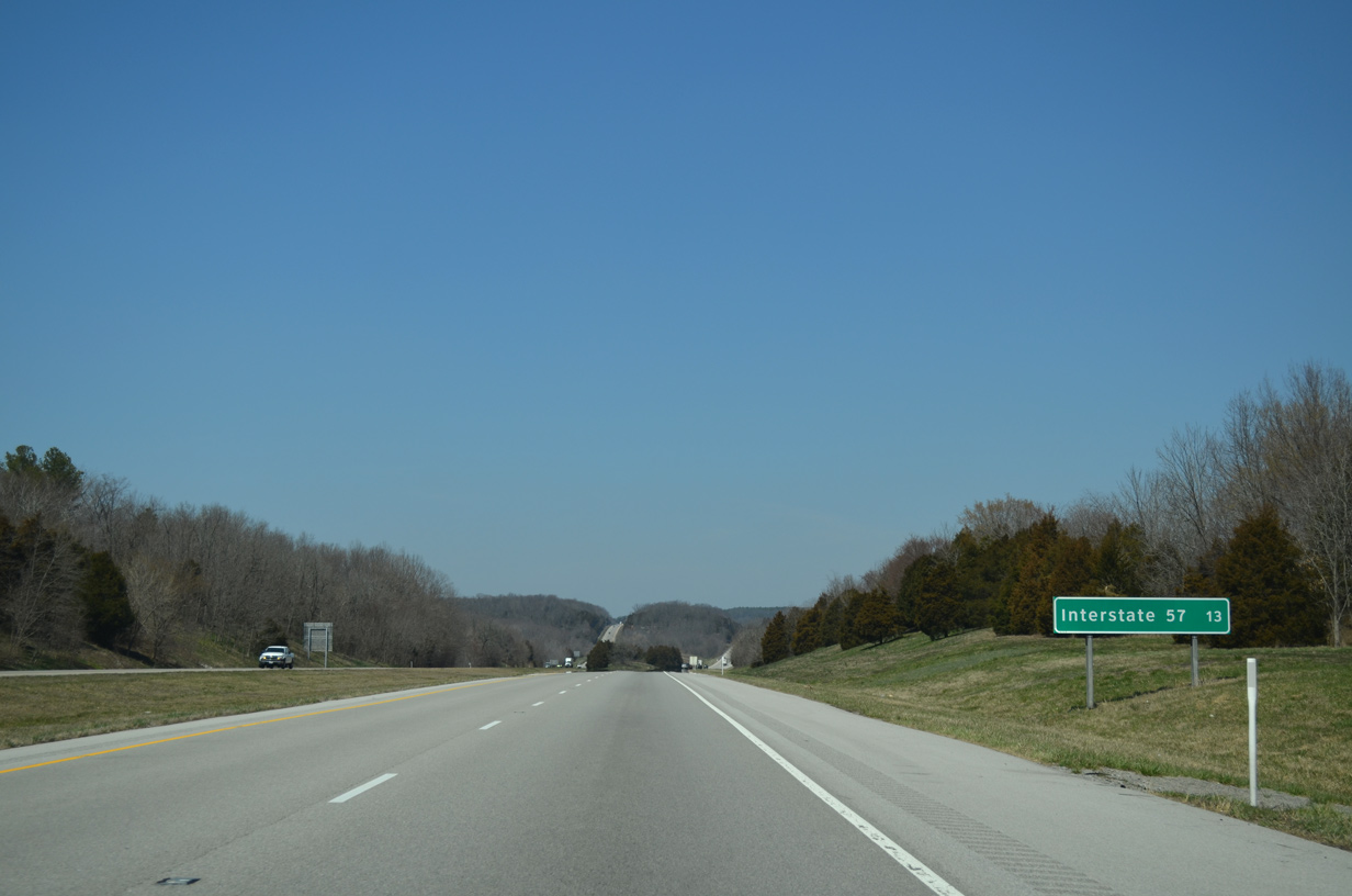
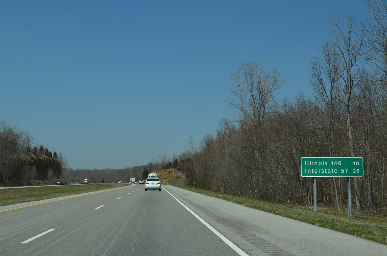
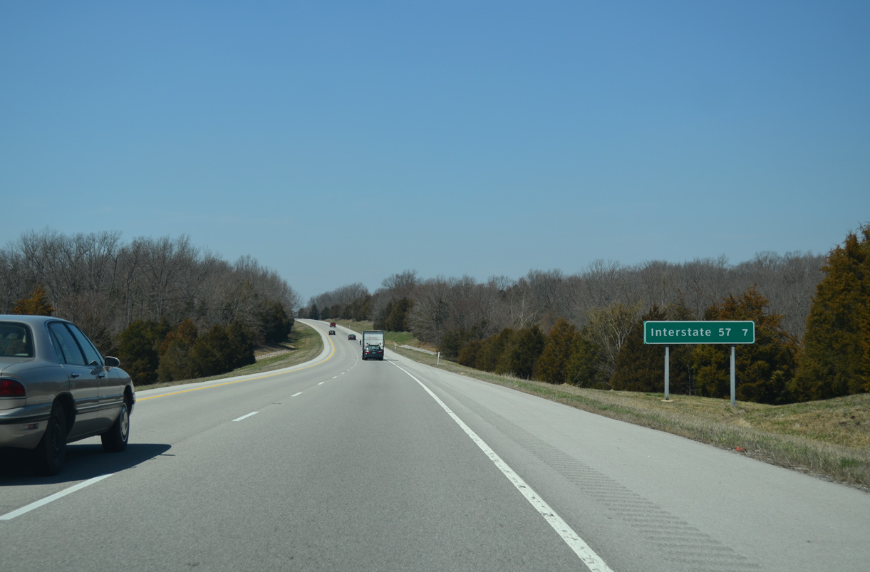
One exit remains along the final 13 miles of Interstate 24 north to I-57.
04/13/13
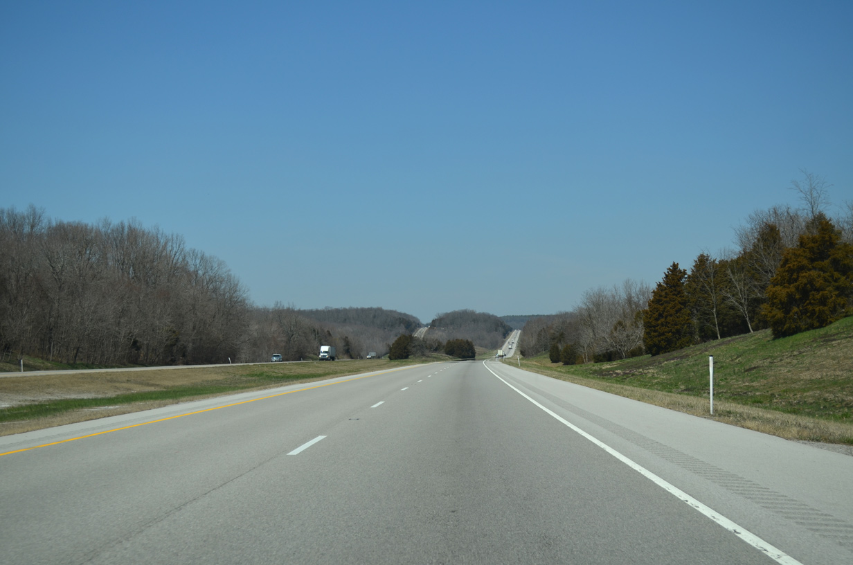
Interstate 24 rises from 400 feet in elevation at Exit 14 to over 700 feet above sea level through Shawnee National Forest.
04/13/13
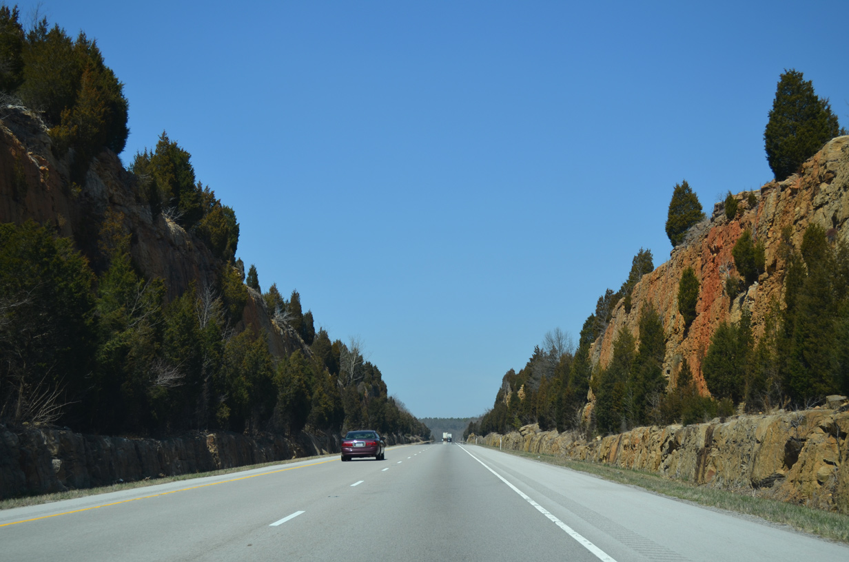
Rock cuts separate the roadways of Interstate 24 across 600 to 700 foot hills in Shawnee National Forest.
04/13/13
The pronounced rock cuts along Interstate 24 precede the Bowman Bottoms Road under crossing east of Dutchman Lake.
04/13/13
I-24 passes through an additional set of rock cuts north of Bowman Bottoms Road.
04/13/13
Advancing north toward the Dutchman Lake Road overpass, Interstate 24 straightens out northwest to Exit 7.
04/13/13
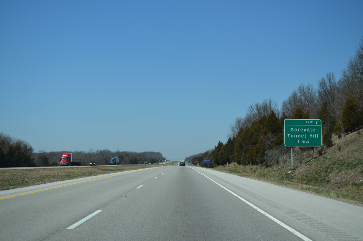
County Route 12 (Tunnel HIll Road) crosses Interstate 24 at a diamond interchange (Exit 7) in one mile.
04/13/13
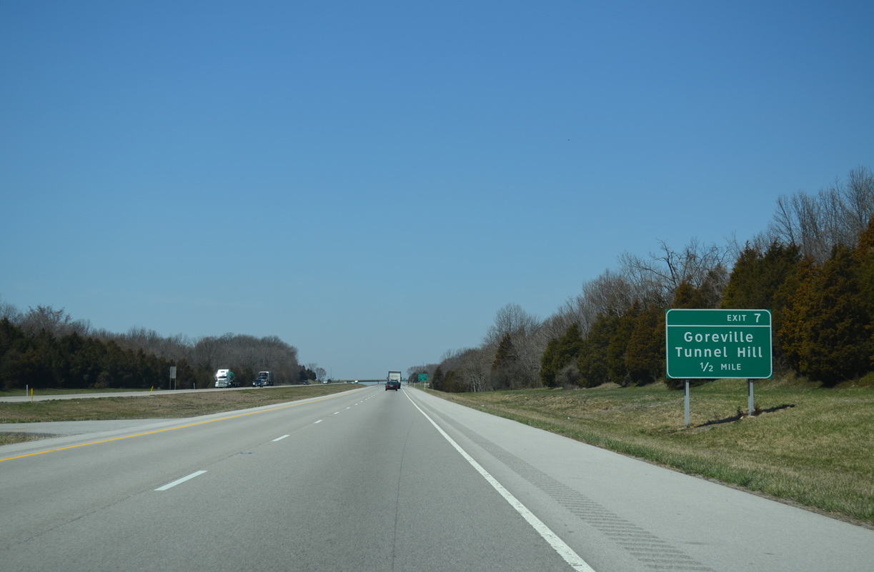
Tunnel Hill Road stems 2.73 miles east from IL 37 just outside the Goreville village limits to I-24 at Exit 7.
04/13/13
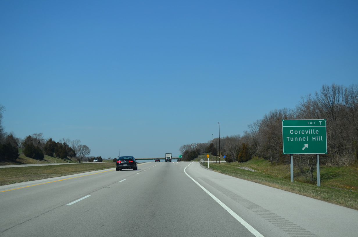
CR 12 (Tunnel Hill Road) continues 5.44 miles east from Exit 7 to the unincorporated community of Tunnel Hill. CR 12 west to IL 37 south connects I-24 with Ferne Clyffe State Park.
04/13/13
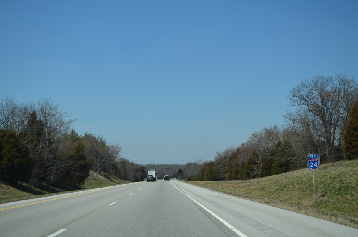
Interstate 24 passes east of Goreville on the succeeding stretch. However a portion of the village limits extend across the freeway to a residential area along Lake of Egypt.
04/13/13
There are no remaining destinations or exits along Interstate 24 beyond Goreville.
04/13/13
Deer Ridge Road passes over I-24 westbound before the freeway lowers to cross Dry Fork Creek.
11/17/07
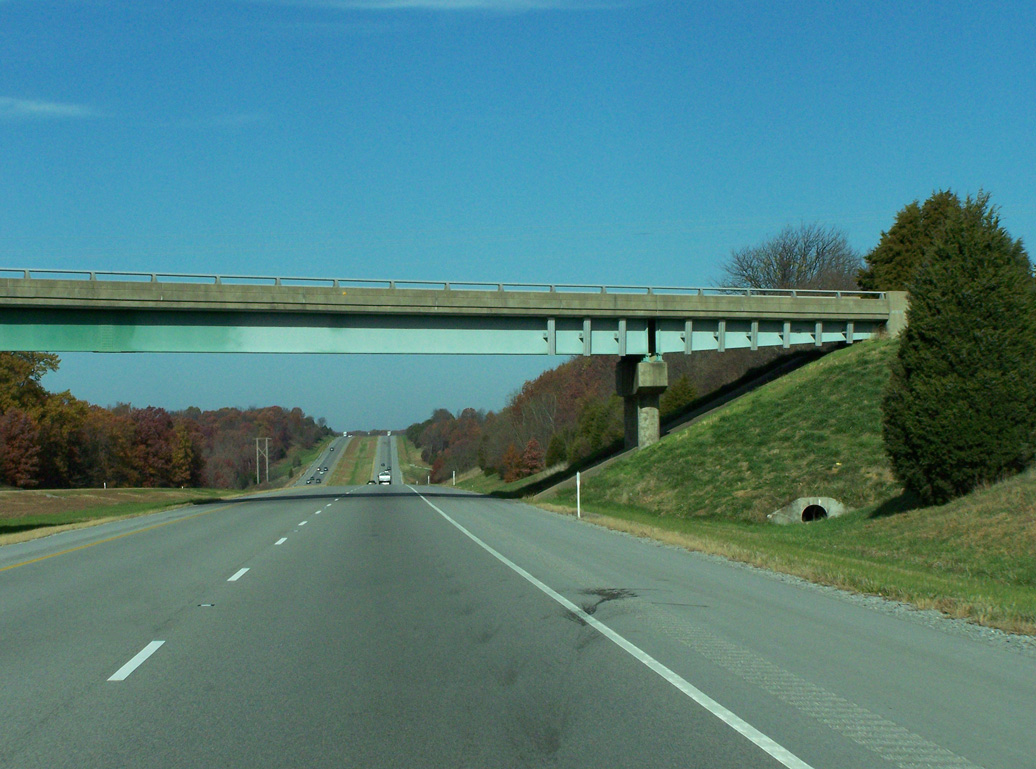
A Union Pacific Railroad line and IL 37 head north from Goreville to span I-24 two miles from Exits 44 A/B to Interstate 57.
04/05/13
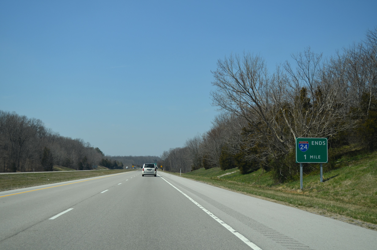
An end sign for Interstate 24 stands one mile south of I-57 near the unincorporated community of Pulleys Mill.
04/05/13
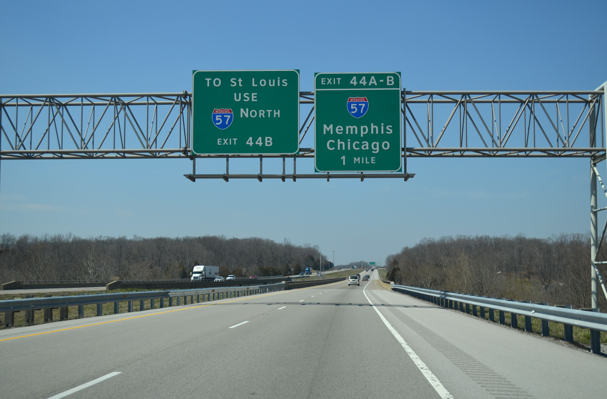
A new sign bridge with carbon copied overheads replaced this set of signs by Little Saline Creek in 2022. I-57 north to I-64 west at Mount Vernon leads regional travelers to St. Louis, Missouri.
04/05/13
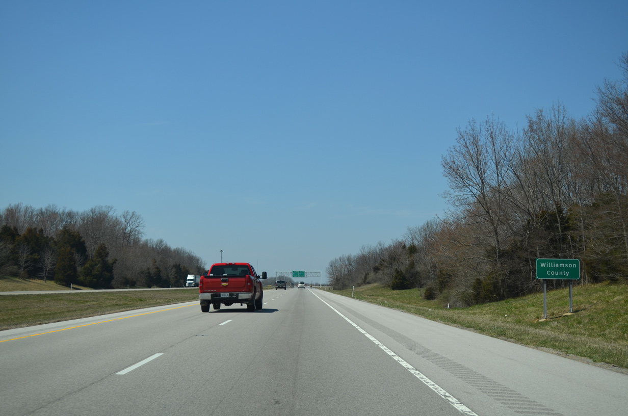
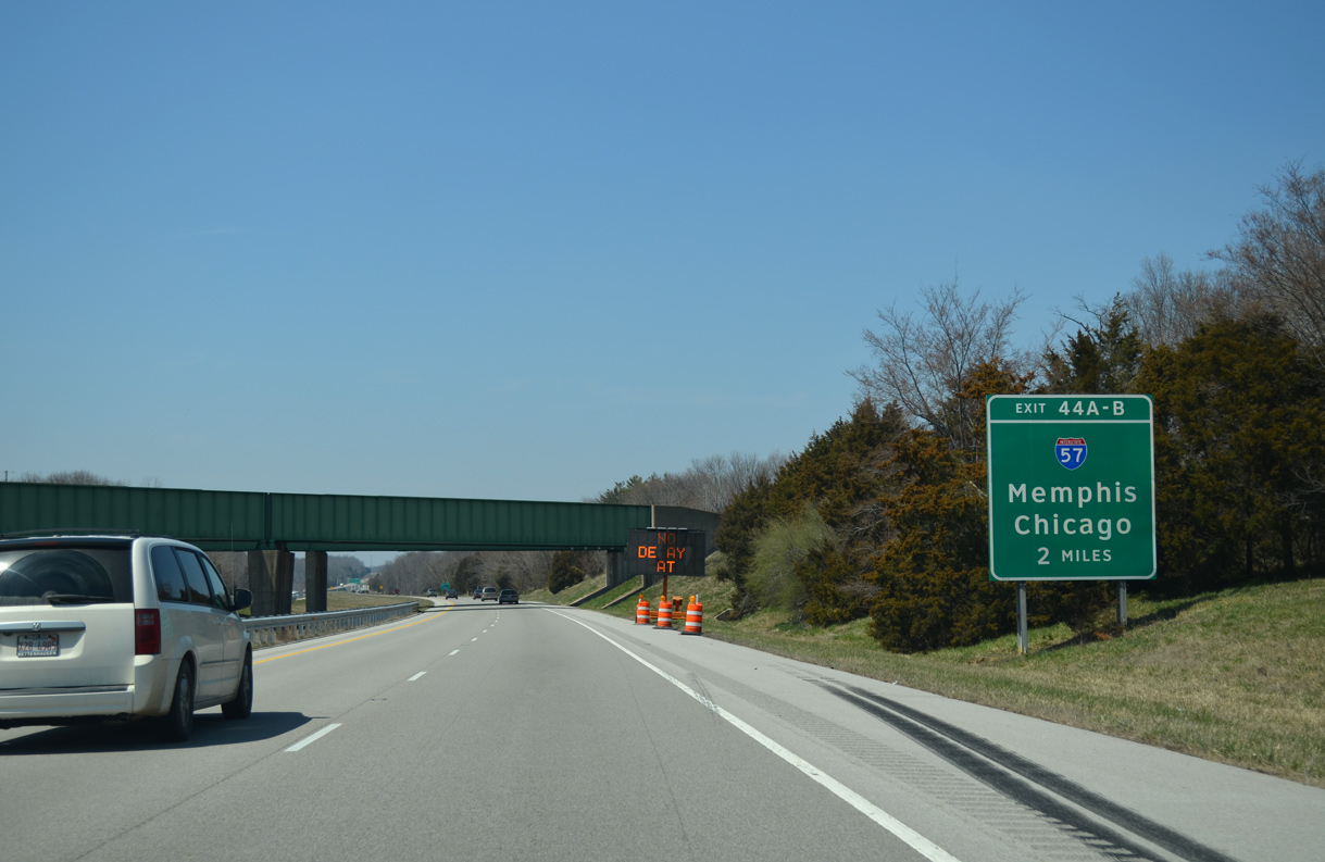
Interstate 24 west crosses the Williamson County line just ahead of the trumpet interchange (Exit 44) with I-57.
04/05/13
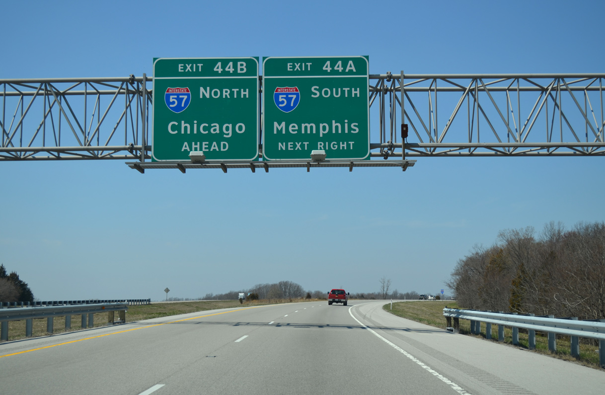
Utilizing the mile marker of I-57, Exit 44 A connects I-24 west with I-57 south to Cairo and I-55 at Sikeston, Missouri. These overheads were replaced by 2015
04/05/13
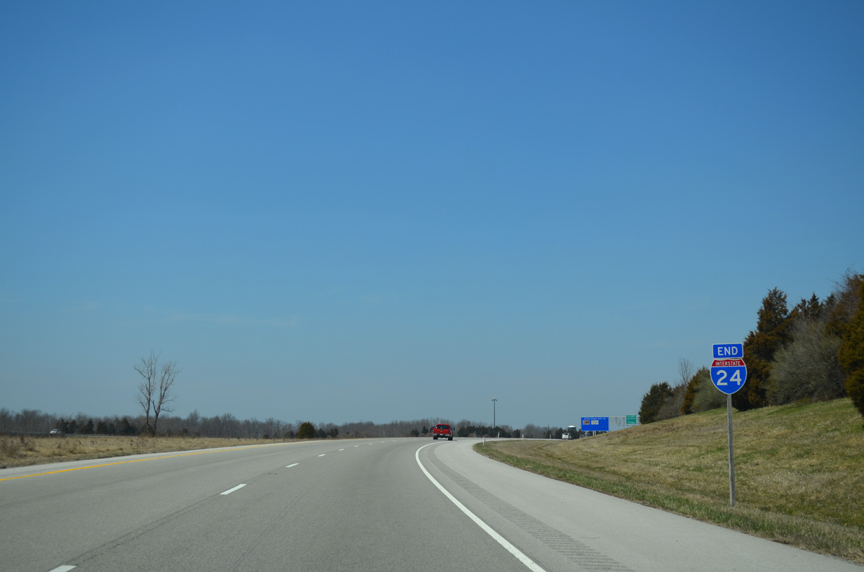
The end shield for Interstate 24 was replaced by 2021.
04/05/13
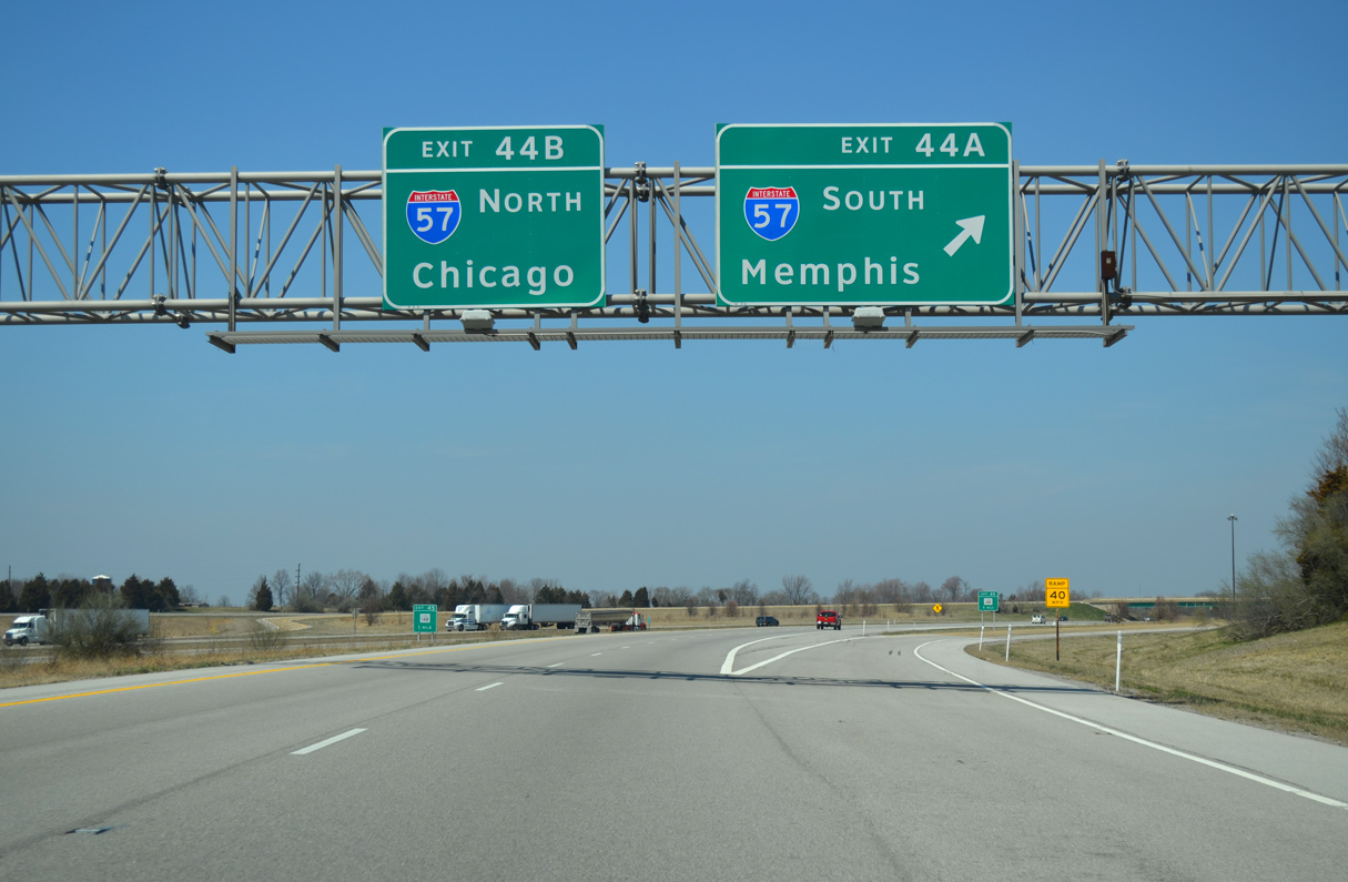
Exit 44 A constitutes a loop ramp spanning I-57 before joining the freeway southbound. The I-24 mainline defaults onto I-57 north to Mount Vernon, Effingham, Champaign and Chicago.
04/05/13
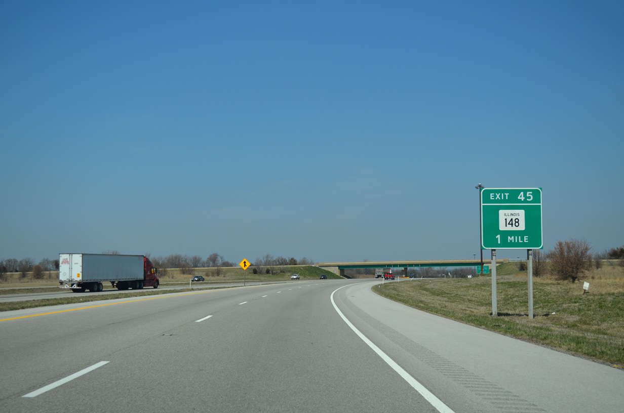
Traffic from I-24 west joins I-57 northbound within a mile of the parclo B2 interchange (Exit 45) with IL 148 west of IL 37 and Lake of Egypt.
04/05/13
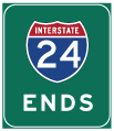

Photo Credits:
- AARoads: 04/05/13, 04/13/13
- ksf: 11/17/07
Connect with:
Page Updated Wednesday November 15, 2023.