
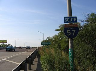
Interstate 57

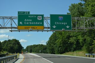
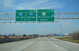
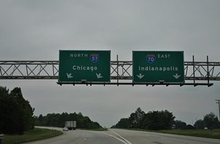
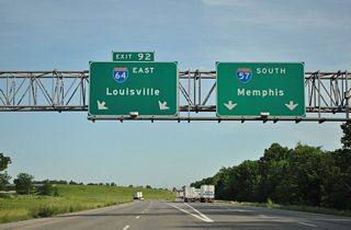
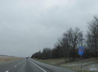
Representing the longest Interstate highway in Illinois at 364 miles, I-57 travels nearly the height of the state from the Mississippi River near Cairo to Champaign and the Dan Ryan Expressway (I-94) in south Chicago. Throughout most of Illinois, the freeway traverses rural and agricultural areas, including a swath through Shawnee National Forest. The route also connects smaller regional cities, including Marion, Mattoon and Kankakee among others. Two overlaps add cross country traffic to I-57 as well, with a 5.59 mile shared alignment with I-70 through Effingham and a 4.14 mile overlap with I-64 at Mount Vernon.
Interstate 57 Illinois Guides
North
Cairo to Dongola - 25 photos
Marion to Mount Vernon - 48 photos
I-57 North / I-64 West - Mount Vernon - 9 photos
Mount Vernon to Effingham - 56 photos
Effingham to Champaign - 61 photos
Rantoul to Kankakee - 53 photos
Kankakee / Will County - 44 photos
Chicago / Cook County - 59 photos
South
Chicago / Cook County - 24 photos
Champaign to Effingham - 62 photos
I-57 South / I-70 West - Effingham - 14 photos
Effingham to Mount Vernon - 49 photos
I-57 South / I-64 East - Mount Vernon - 10 photos
Mount Vernon to Marion - 46 photos
I-24 to Cairo - 50 photos

Estimated to cost $74.3 million in 2016,1 the $251.8 million Interstate 57/74 Interchange Reconstruction project upgrades the exchange joining I-57 and I-74 northwest of Champaign. Designed in 1958 and built in 1965, construction replaces the cloverleaf interchange between the two freeways with a high speed cloverstack interchange. Costing $21.1 million, Project 1, replacing the overpasses taking Mattis Avenue over both I-57 and I-74 started in Summer 2020 and was completed on September 9, 2021. Project 2, replacing the U.S. 150 overpass above I-57, was also replaced during the same time frame at a cost of $8.4 million.
Project 3 involving the I-57 and I-74 ramp reconstruction broke ground on August 23, 2021. The $125.8 million project runs through 2023. Project 4 got underway in 2022 and will be completed in 2025. The estimated $125 million phase reconstructs the pavement along both I-57 and I-74.
 scenes
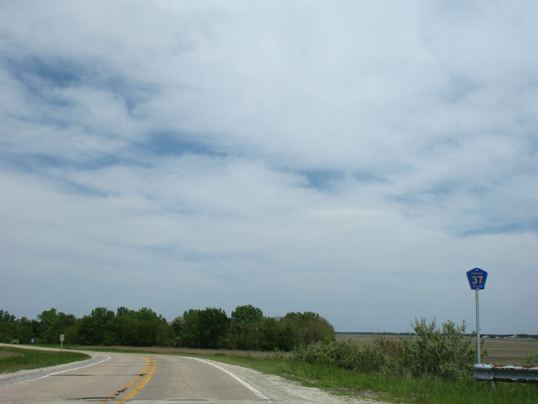
County Road 37 marker posted east of the exchange with Interstate 57 outside the village of Chebanse.
05/24/08
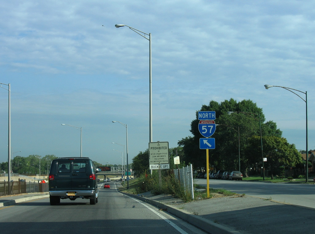
Ashland Avenue comprises a northbound side frontage street from Calumet Park north to West 112th Street at the West Pullman neighborhood of Chicago. A diamond interchange with West 119th Street utilizes Ashland to make the connections with Interstate 57 below. Pictured here is the northbound on-ramp ahead of Exit 355.
09/04/05
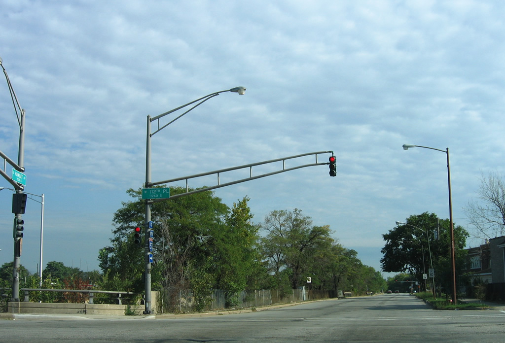
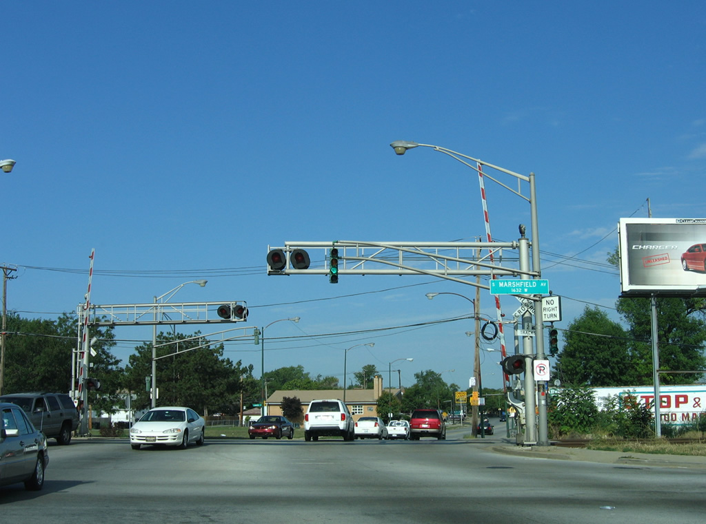
Trombone style mast-arm signal assemblies at Hamlet Avenue north and 112th Place, just beyond the off-ramp from Interstate 57 north at Exit 355.
09/04/05
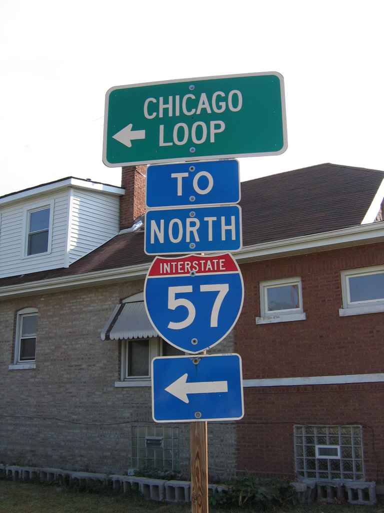
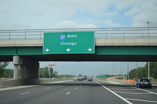
Signs for northbound on-ramps to Interstate 57 in Far Southeast Side Chicago direct traffic toward the Chicago Loop.
09/04/05
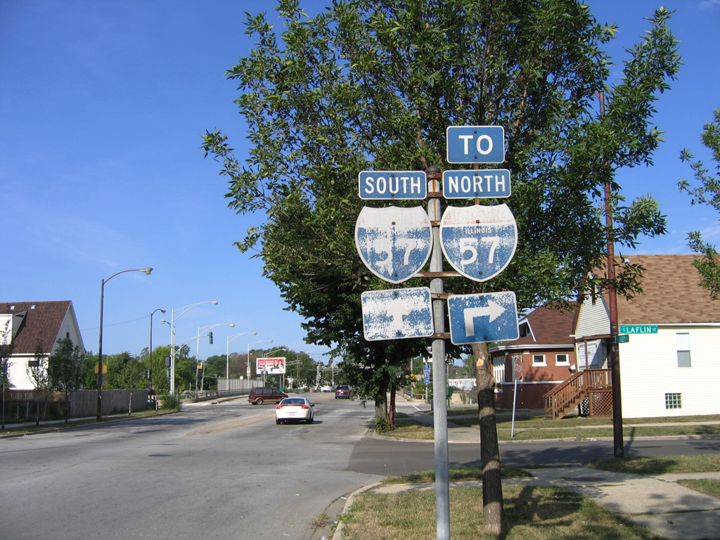
Original trailblazers for Interstate 57 were posted along 112th Place west ahead of the Hamlet and Marshfield Avenue on-ramps in the Morgan Park neighborhood of Far Southeast Side Chicago.
09/04/05
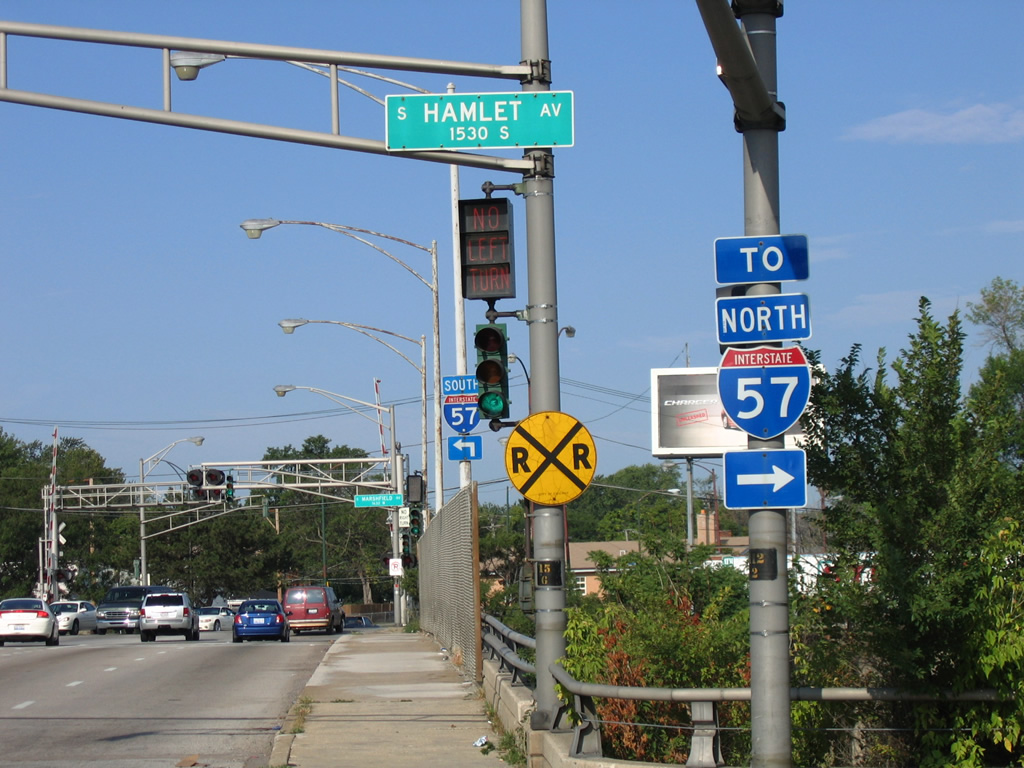
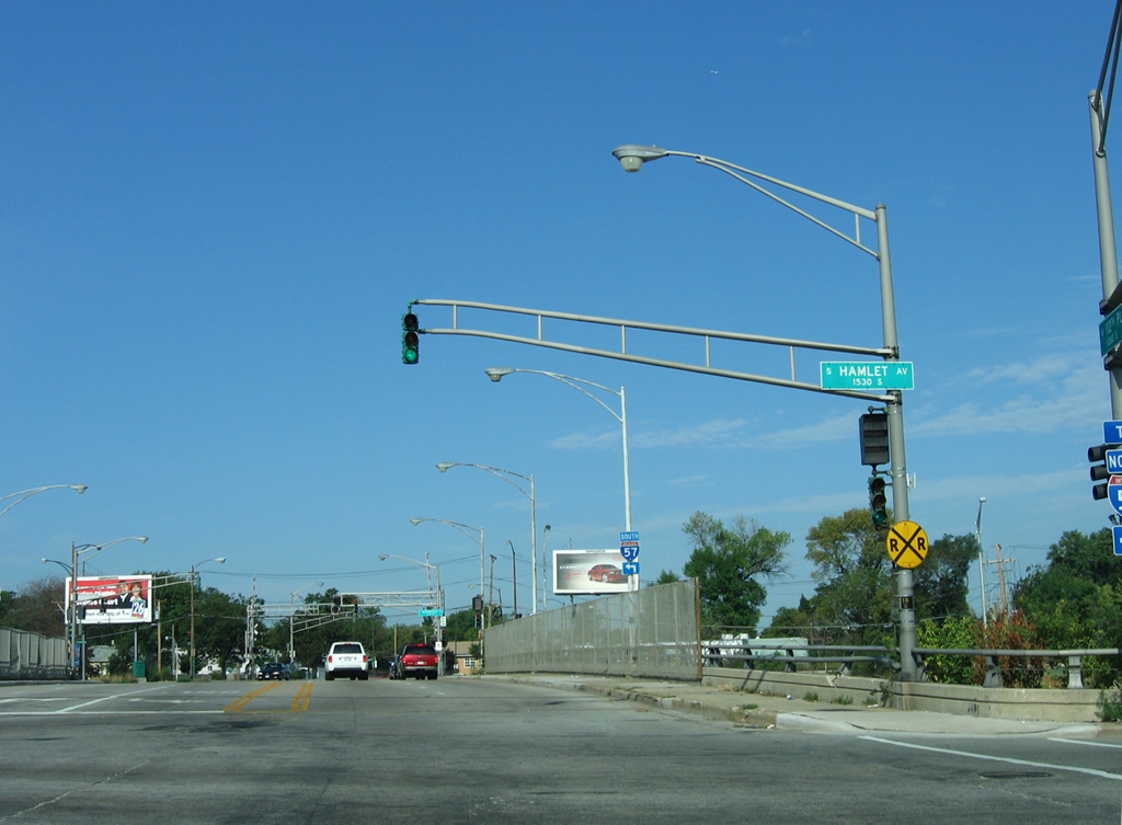
Hamlet Avenue provides northbound access from 112th Place to the final three miles of Interstate 57.
09/04/05
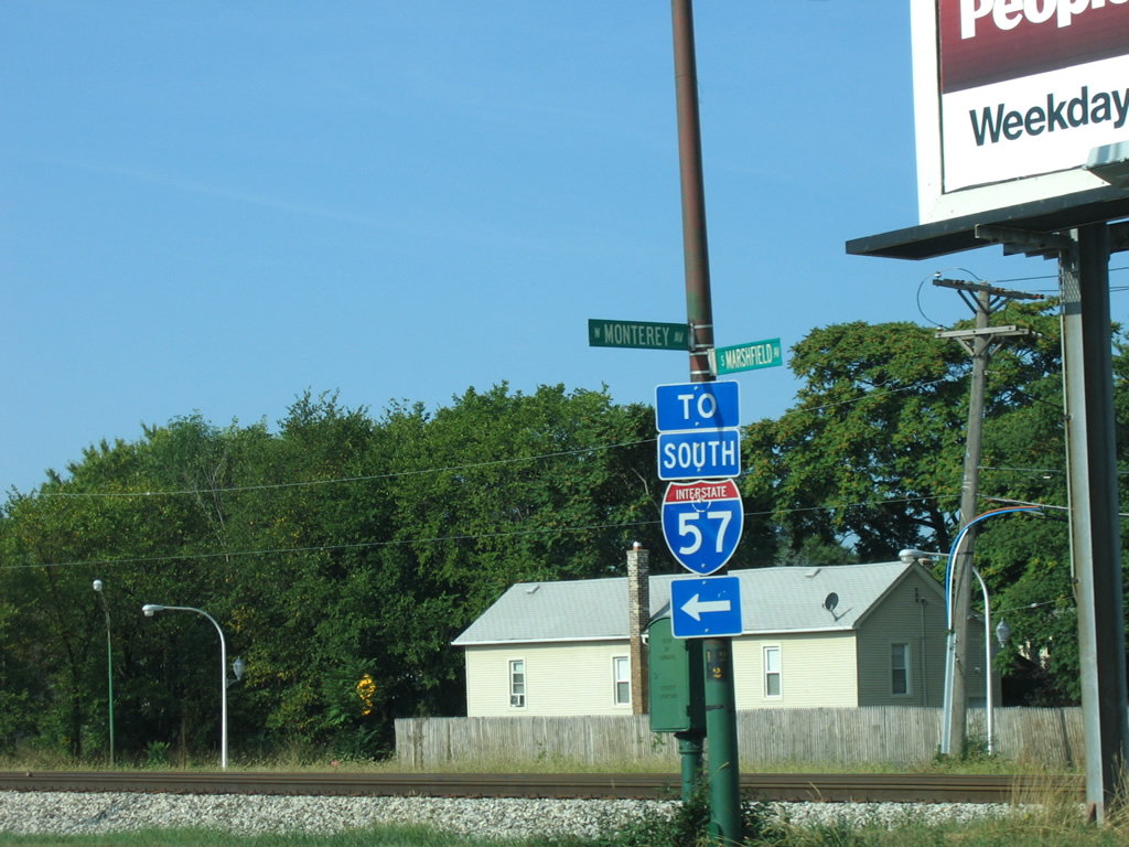
112th Place becomes Monterey Avenue west of Interstate 57 to West 111th Street within Morgan Park. Marshfield Avenue comprises the southbound side frontage street for I-57.
09/04/05
An on-ramp drops onto Interstate 57 south from Marshfield Avenue near 112th Place and Monterey Avenue for Calumet Park, Markham and Kankakee.
09/04/05
References:
- "IDOT planning upgrade for I-57/I-74 interchange." The News-Gazette (Champaign, IL), May 30, 2016.
Photo Credits:
- Alex Nitzman: 05/24/08
- AARoads: 09/04/05
Connect with:
Page Updated Thursday November 09, 2023.