
Interstate 25 South - Castle Rock to Monument


 South
South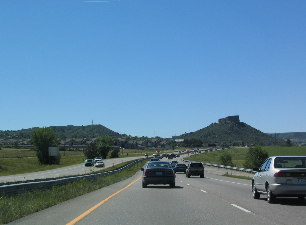
U.S. 85 rejoins I-25/U.S. 87 south from Meadows Parkway in the town of Castle Rock. Castle Rock rises within Rock Park to the southeast.
08/29/04
08/29/04
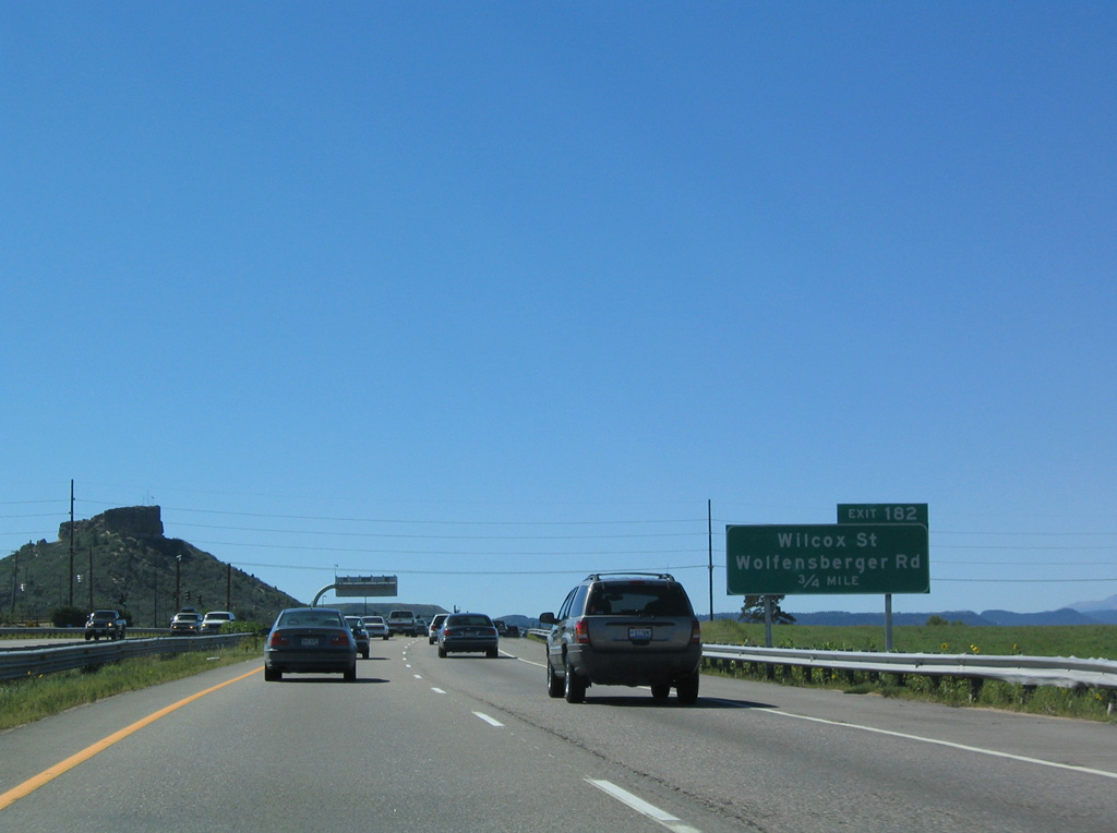
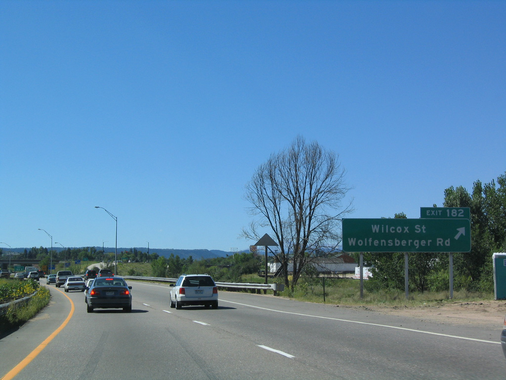
The diamond interchange at Exit 182 follows Hangmans Gulch for Wilcox Street south and Wolfensberger Road west.
08/29/04
08/29/04
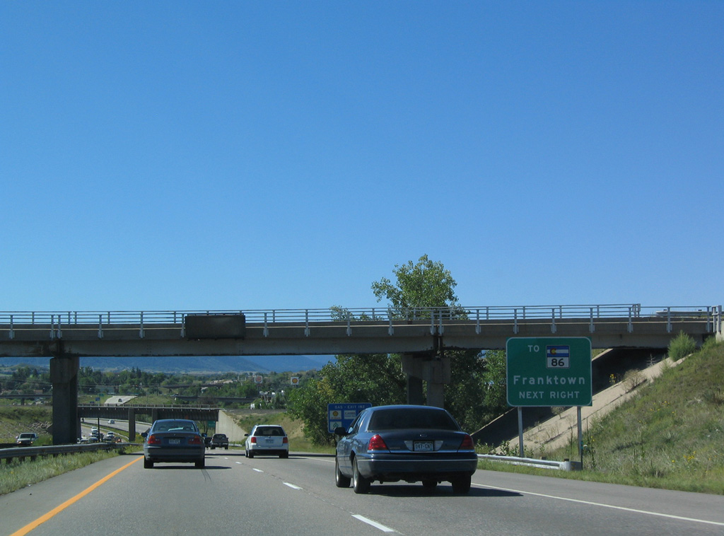
Wilcox Street heads south to Fifth Street in Downtown Castle Rock. Fifth Street east to Founders Parkway was formerly part of SH 86, which extends east from that intersection to SH 83 at Franktown.
08/29/04
08/29/04
Representing the old alignment of U.S 85/87 through Castle Rock, Wilcox Street south from Exit 182 to Exit 181 was formerly Business Loop I-25. The business route was removed from the state system by the mid 1990s.
08/29/04
08/29/04
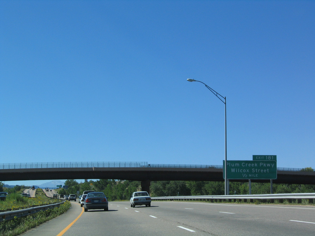
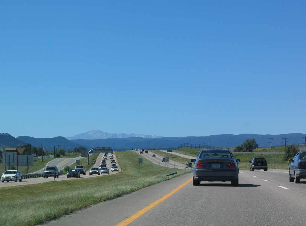
Interstate 25 has been gradually ascending in elevation since leaving Denver. The town of Castle Rock is situated at 6,202 feet above sea level, which is almost 1,000 higher in elevation than Denver. The ensuing exit is with Plum Creek Parkway.
08/29/04
08/29/04
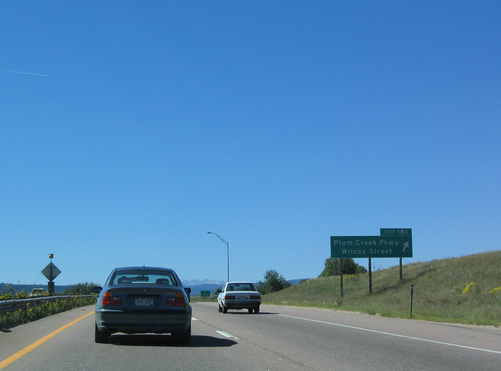
Plum Creek Parkway meanders west to Philip S. Miller Park and Wolfensberger Road (CR 46). East from parallel Wilcox Street, the four lane arterial continues to the Douglas County Fairgrounds and suburban development.
08/29/04
08/29/04
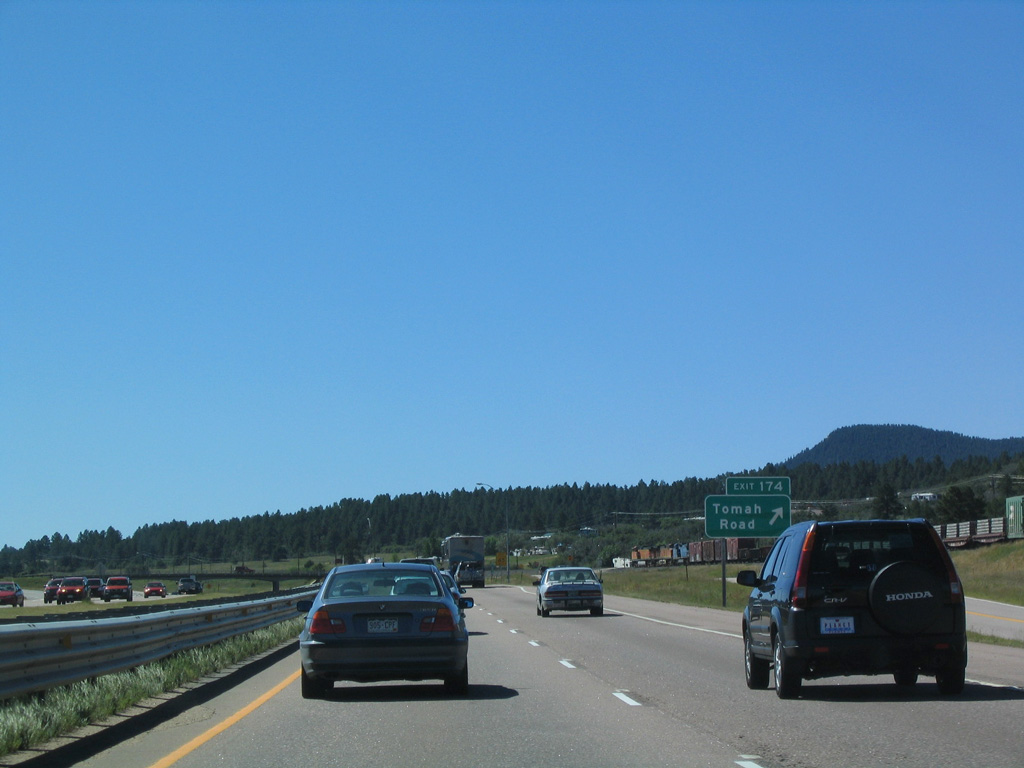
Underway from September 2018 to November 22, the I-25 South Gap Project widens an 18 mile long section south to Exit 161 with tolled Express Lanes. The managed lanes commenced operation on December 10, 2021.
08/29/04
08/29/04
08/29/04
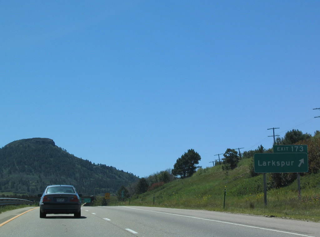
The town of Larkspur lies south of Exit 173 and west of Larkspur Butte (elevation 7,535 feet).
08/29/04
08/29/04
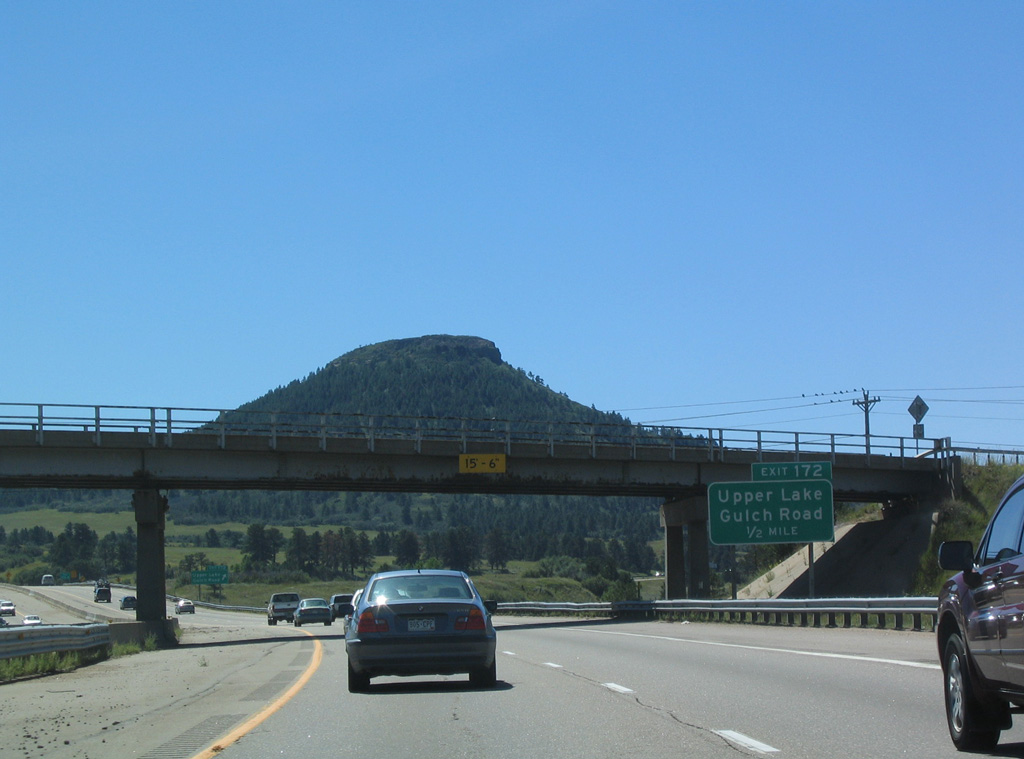
Upper Lake Gulch Road links Interstate 25 with Spruce Mountain Road south into Larkspur.
08/29/04
08/29/04
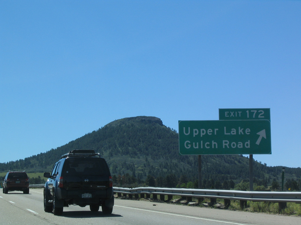
The connector from the diamond interchange at Exit 172 with Spruce Mountain Road was formerly SH 18. Designated from 1973 to 2000, SH 18 was the shortest state highway in the system at 1,531 feet in length.1
08/29/04
08/29/04
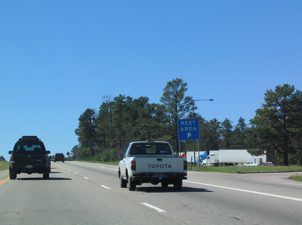
Rest areas between Larkspur and Larkspur Butte along both directions of Interstate 25 permanently closed southbound in November 2008 and northbound in May 2009.
08/29/04
08/29/04
Shifting southeast from Larkspur, Interstate 25 parallels Carpenter Creek, the Union Pacific Railroad and BNSF Railroad.
08/29/04
08/29/04
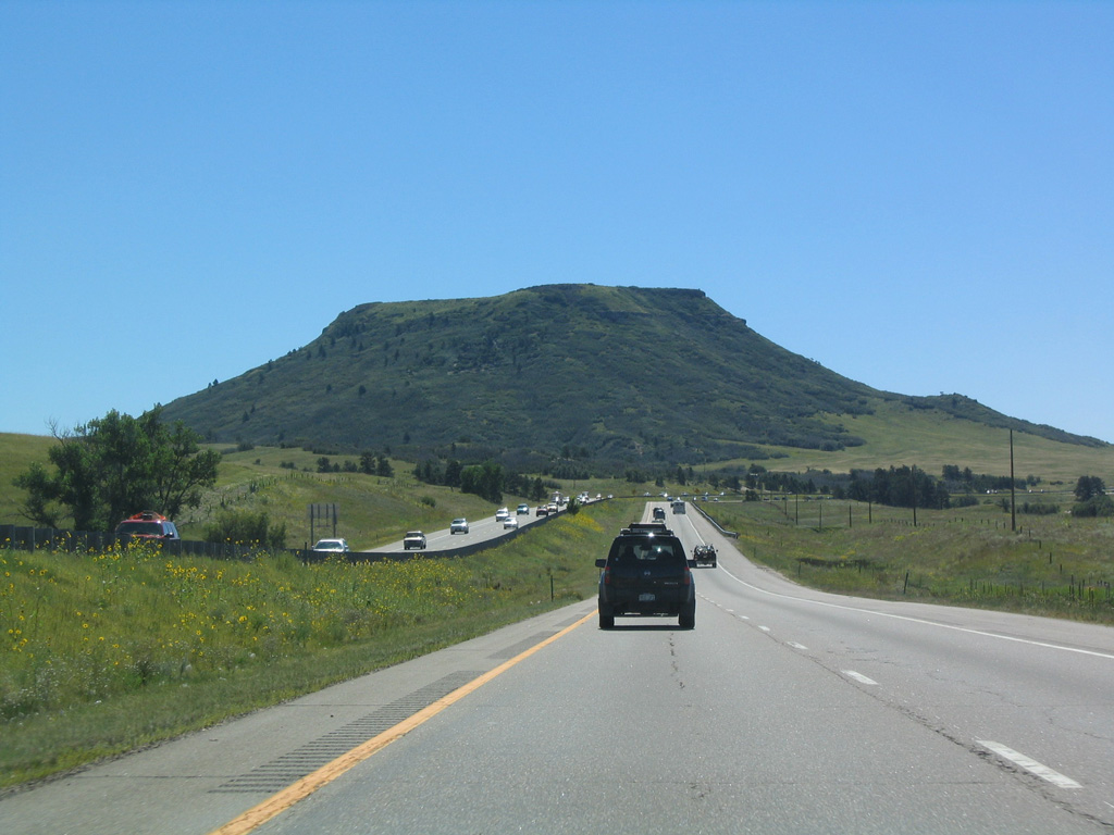
Interstate 25 makes a gradual southward curve beside Rattlesnake Butte (elevation 7,570 feet).
08/29/04
08/29/04
08/29/04
08/29/04
08/29/04
08/29/04

Monument Hill (elevation 7,352 feet) is the high point along Interstate 25 south between Denver and Colorado Springs.
08/29/04
08/29/04
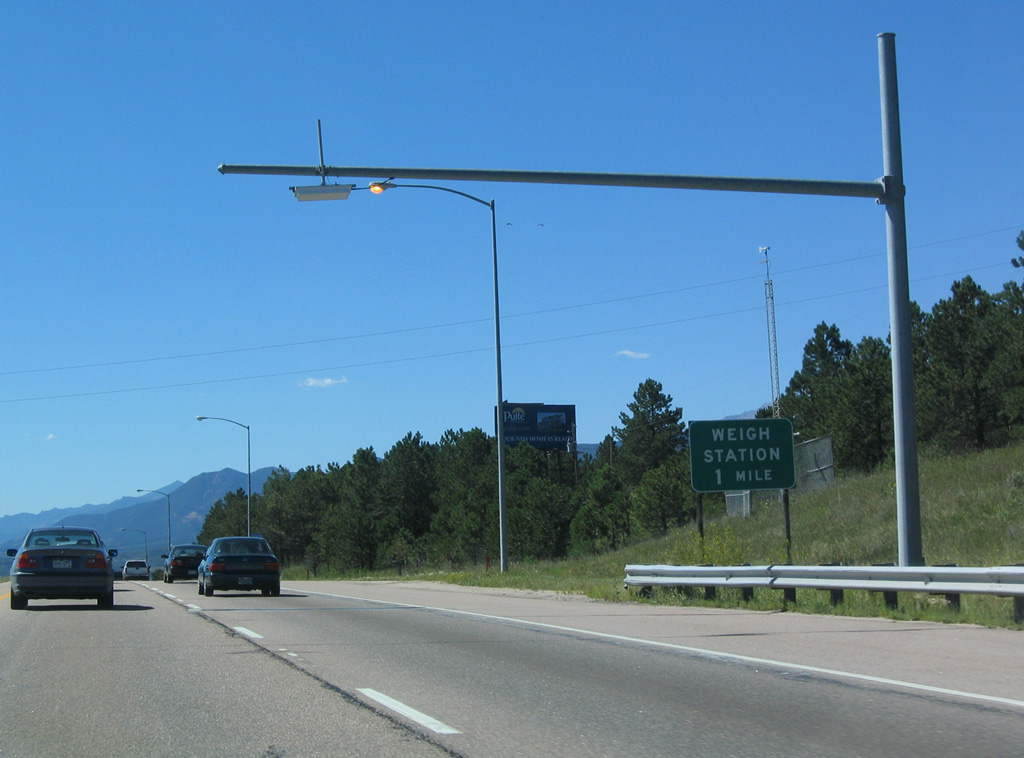
A weigh station and truck inspection facility follows along southbound Interstate 25 after the Monument Hill summit.
08/29/04
08/29/04
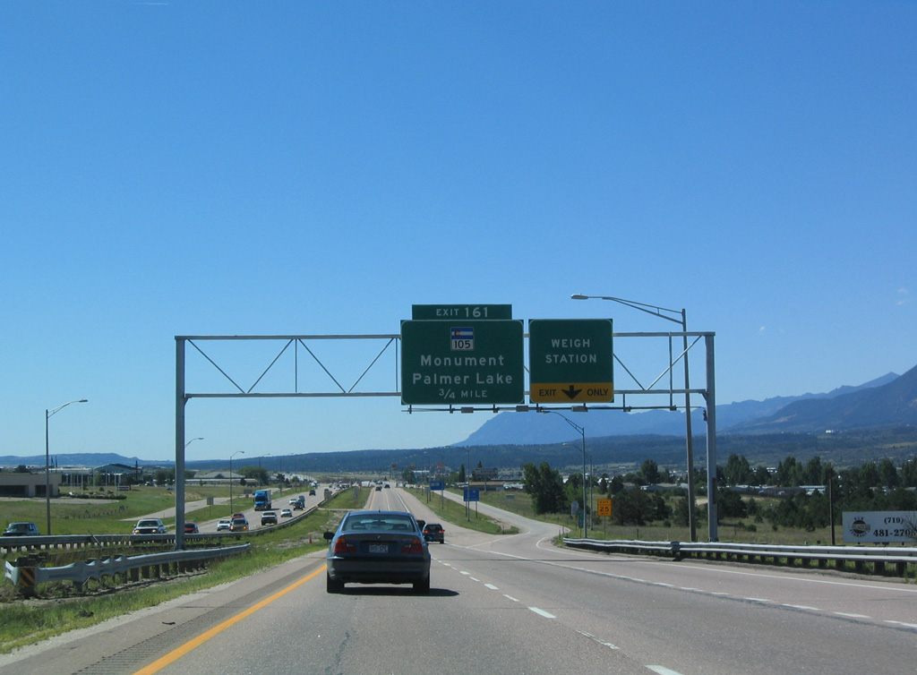
Advancing south between the town of Monument and unincorporated community of Woodmoor, I-25 enters a folded diamond interchange (Exit 161) with SH 105 at 2nd Street.
08/29/04
08/29/04
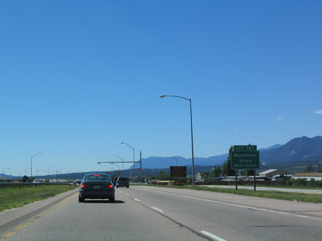
Woodmoor Drive stems north from SH 105 to Woodmoor and Woodmoor Lake.
08/29/04
08/29/04
Traveling 4.75 miles west from nearby Jackson Creek Parkway, SH 105 connects Monument with the town of Parker Lake and Douglas County line. SH 105 east to SH 83 was removed from the state system by 2021.
08/29/04
08/29/04
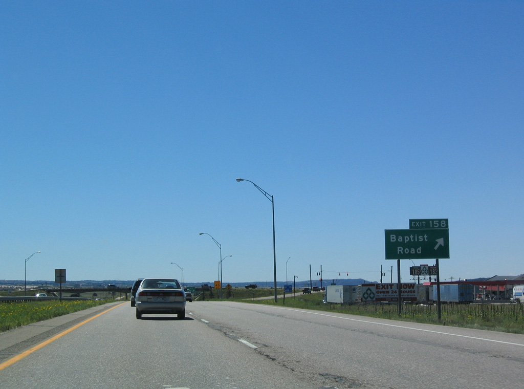
A diamond interchange (Exit 158) links I-25/U.S 85-87 with Baptist Road in south Monument. Baptist Road leads east to Gleneagle and SH 83 and west to the Forest Lakes development.
08/29/04
08/29/04
08/29/04
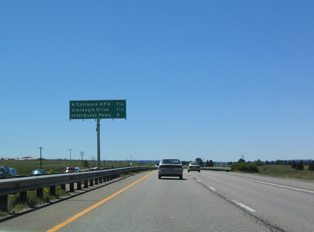
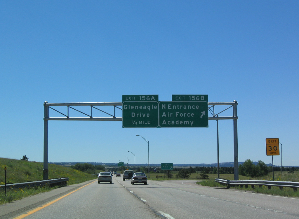
North Gate Boulevard connects I-25 with the north entrance to the Air Force Academy west of Exit 156.
08/29/04
08/29/04
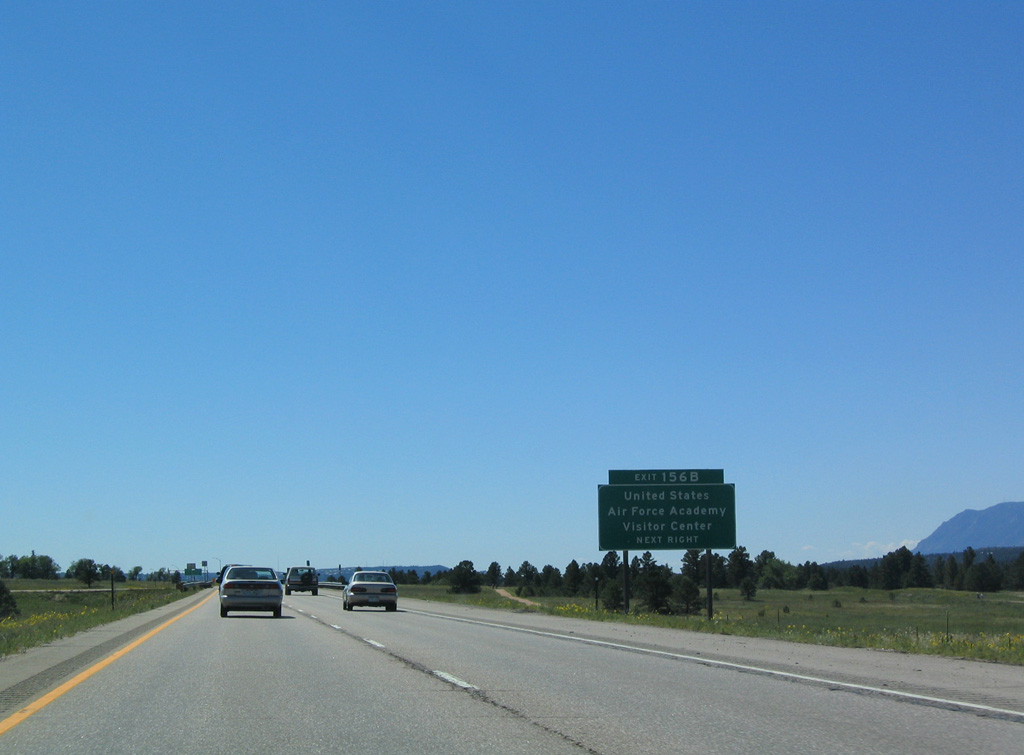
The United States Air Force Academy North Gate Boulevard spreads west of I-25 from ahead of Exit 156 south to a point beyond Exit 150. North Gate Boulevard links with Stadium Boulevard south to Falcons Stadium.
08/29/04
08/29/04
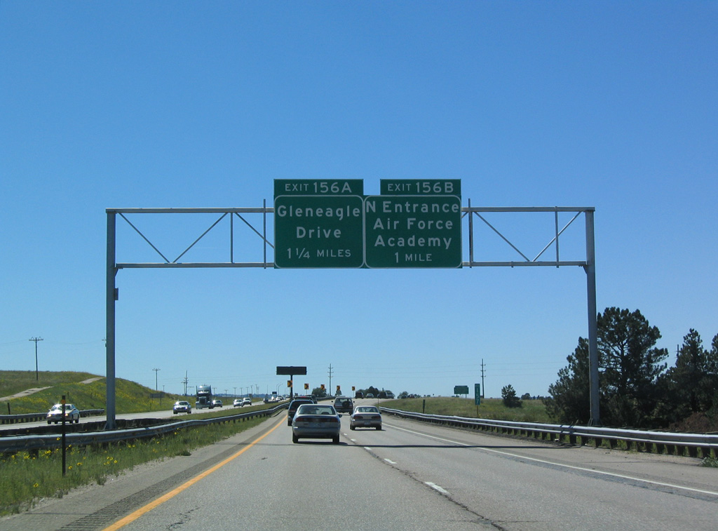
The cloverleaf interchange (Exit 156) with North Gate Boulevard was converted to a dumbbell interchange by 2015.
08/29/04
08/29/04
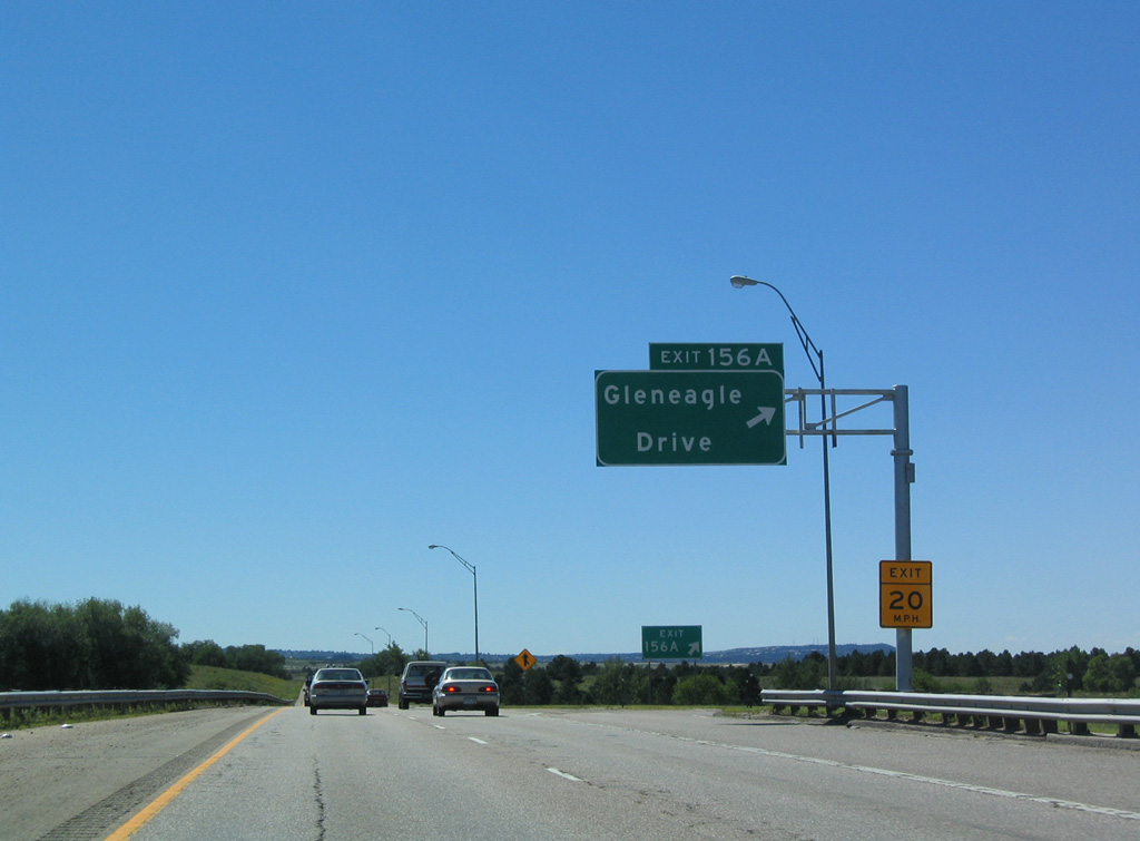
Gleneagle Drive east into northern reaches of Colorado Springs was renamed as an extension of North Gate Boulevard.
08/29/04
08/29/04

References:
http://www.mesalek.com/ colo/r1-19.html.
Photo Credits:
- Andy Field: 08/29/04
Connect with:
Page Updated Sunday January 16, 2022.