
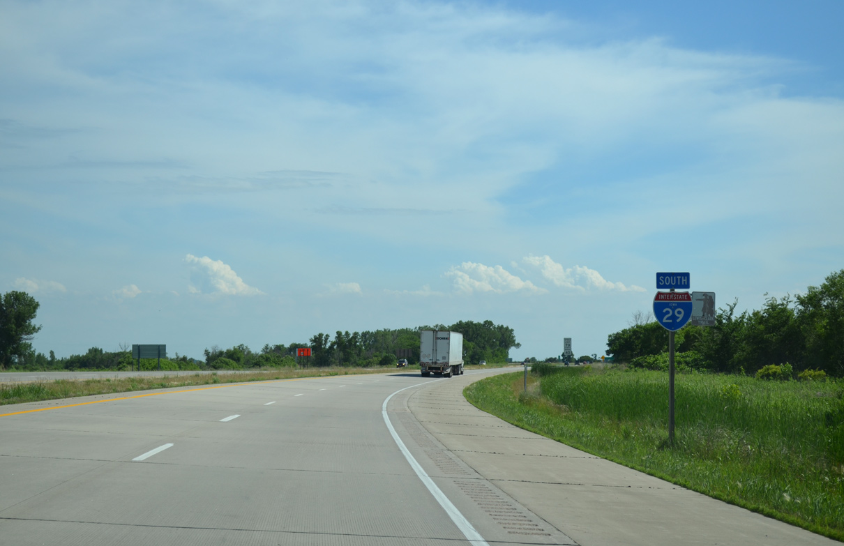
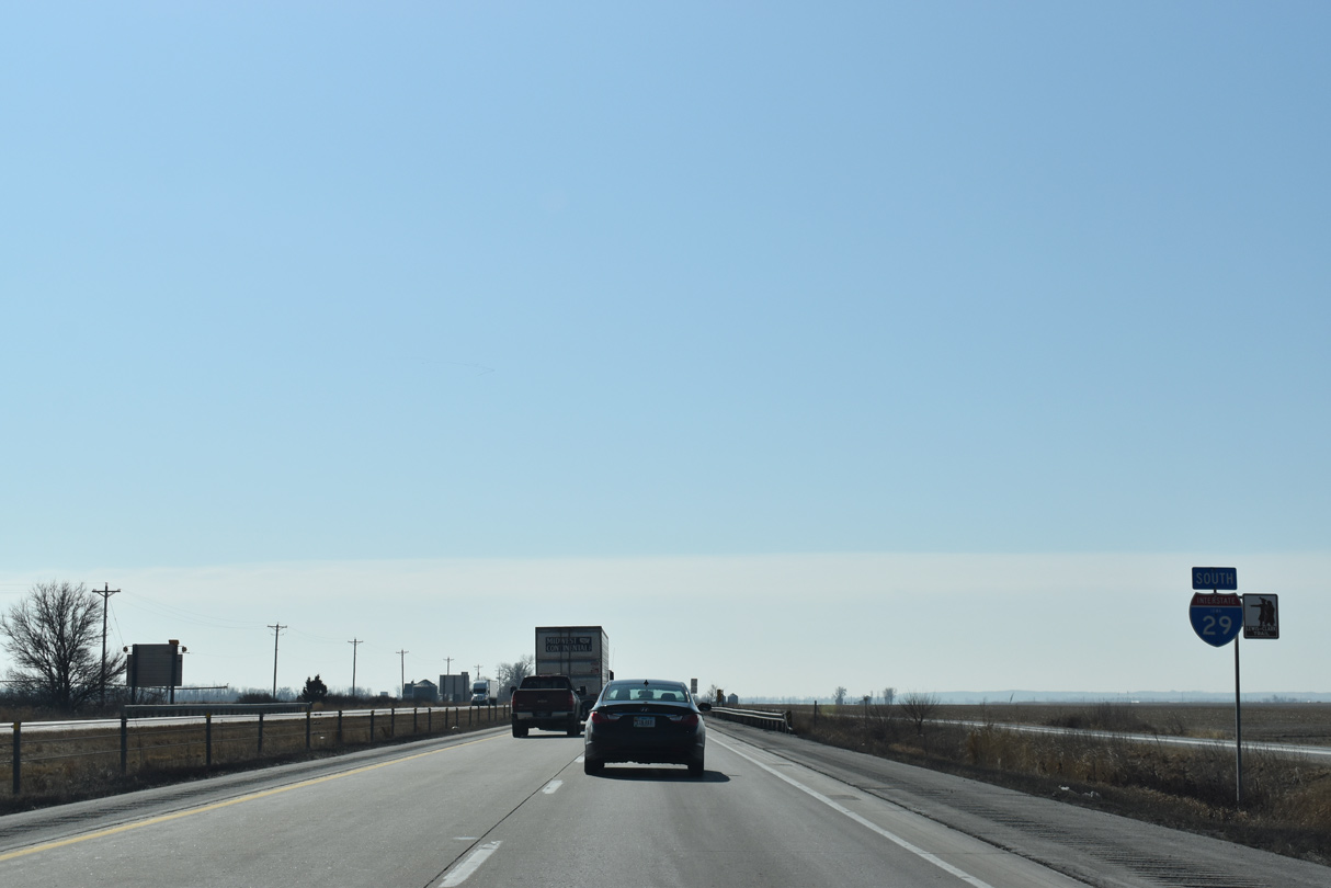
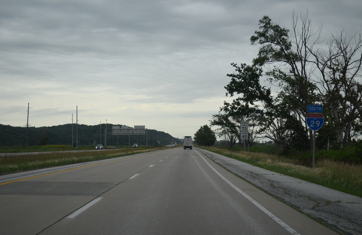
Interstate 29 South - Missouri Valley to Council Bluffs
06/17/15
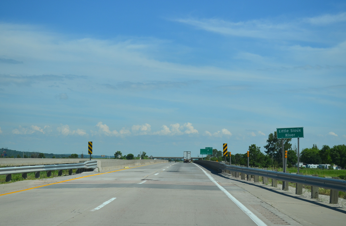
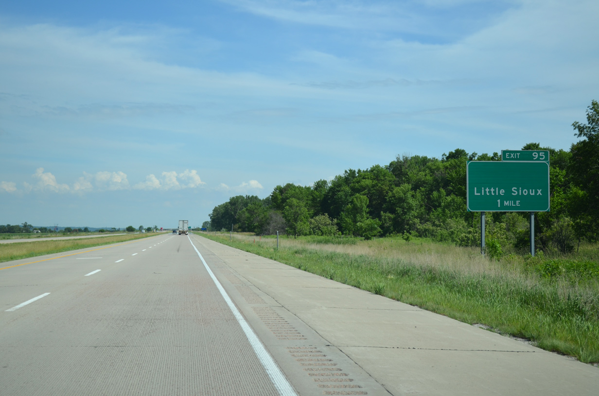
I-29 spans the Little Sioux River just ahead of the diamond interchange (Exit 95) with CR F20 (Easton Trail).
06/17/15
06/17/15
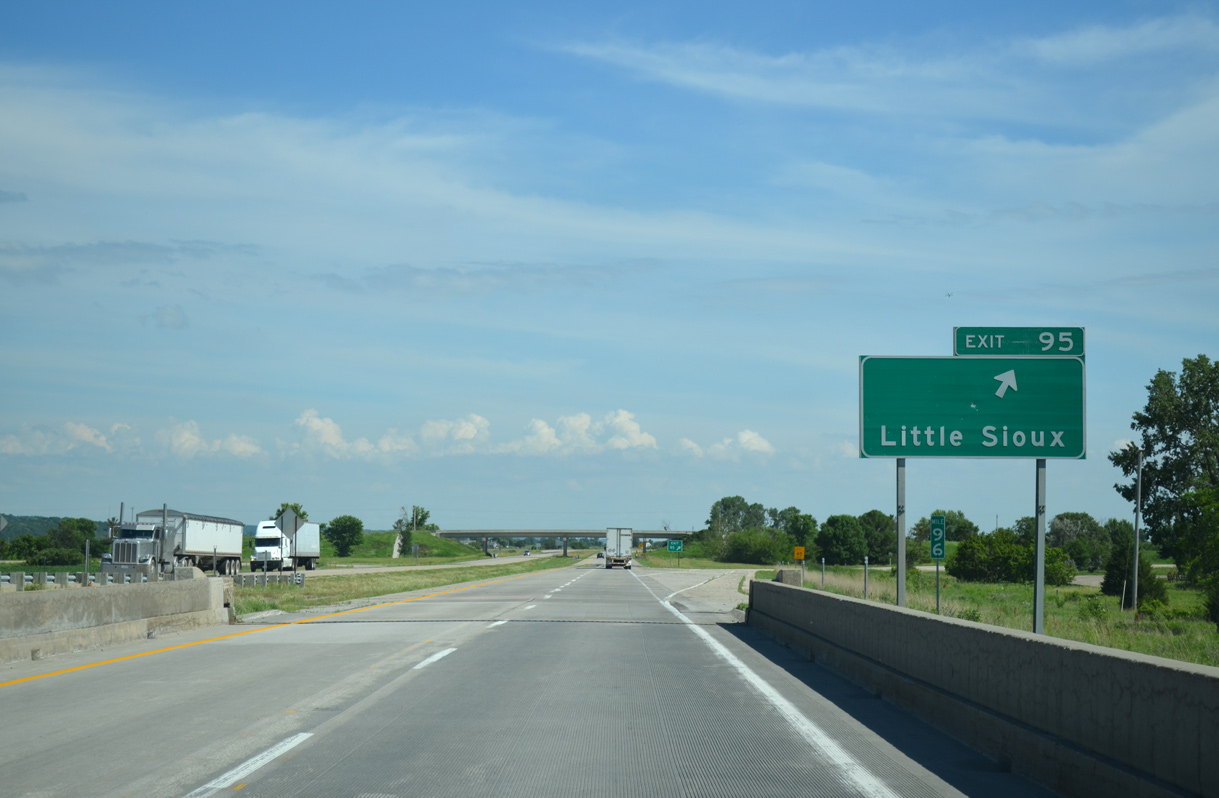
CR F20 east along Easton Trail into River Sioux and Vine Street into the city of Little Sioux was formerly Iowa 301.
06/17/15
06/17/15
06/17/15
06/17/15
06/17/15
06/17/15
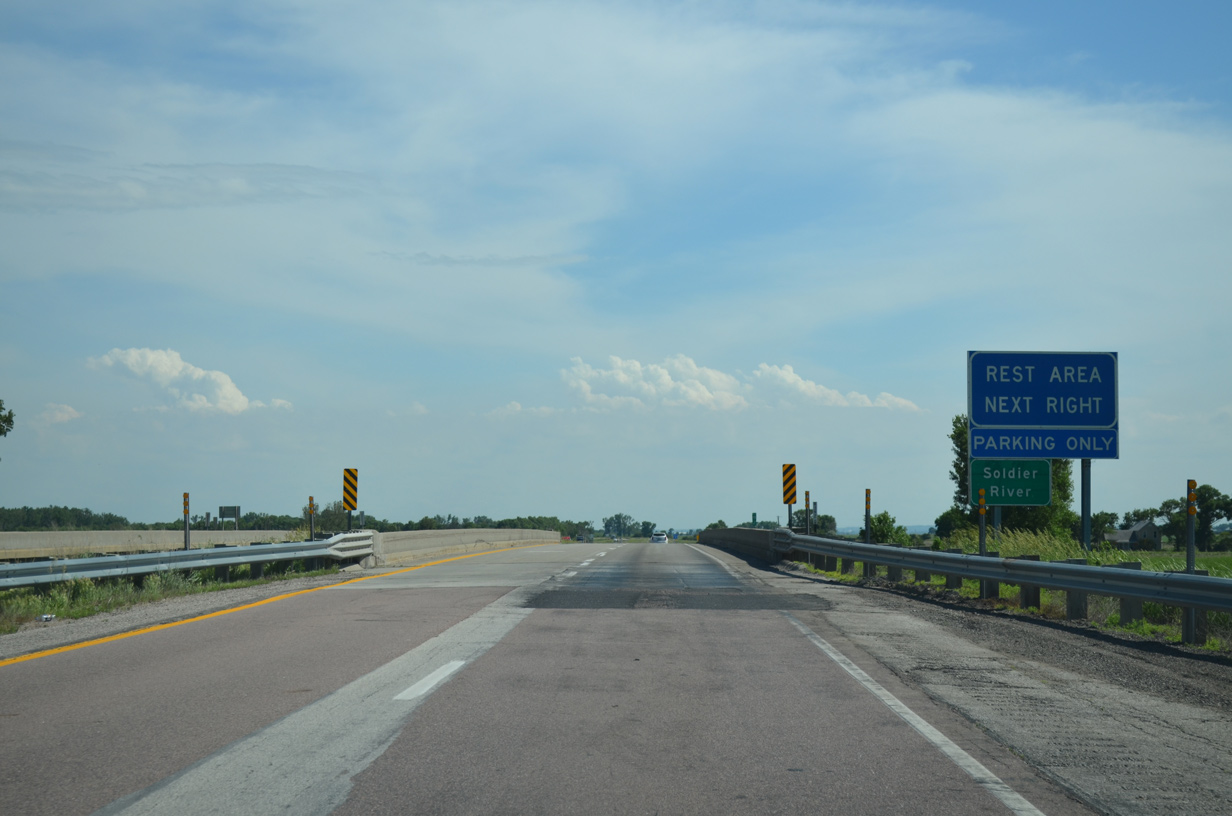
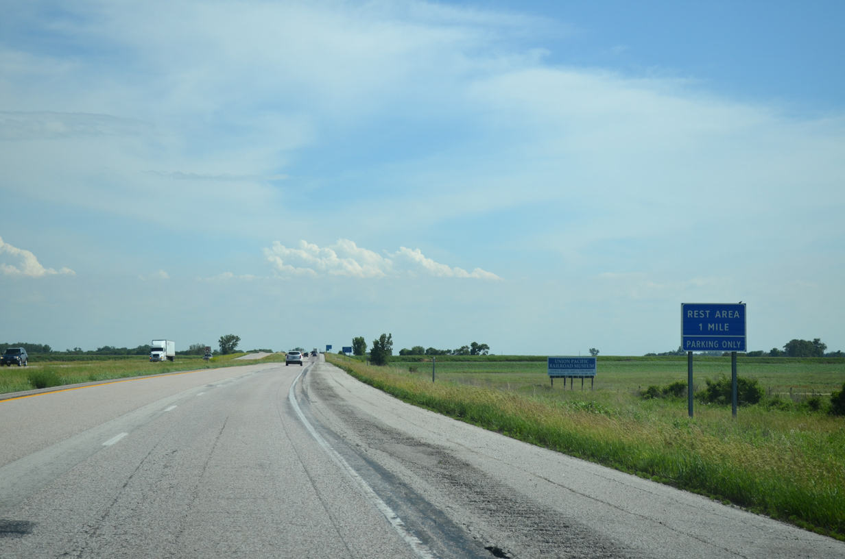
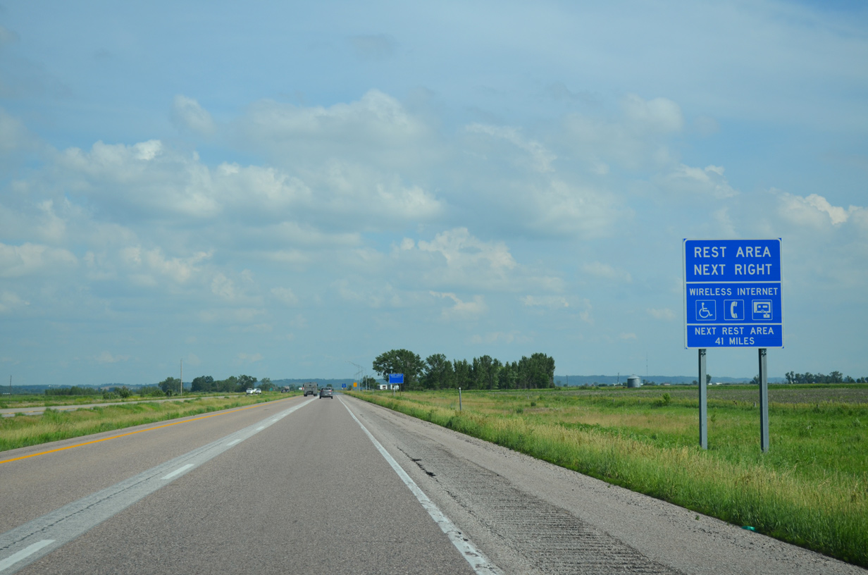
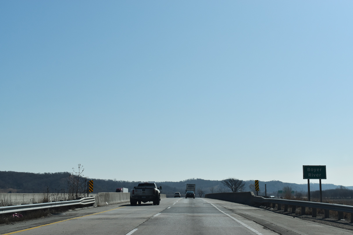
Rest areas line both sides of I-29 south of the Soldier River Cutoff and west of Round Lake State Wildlife Management Area.
06/17/15
06/17/15
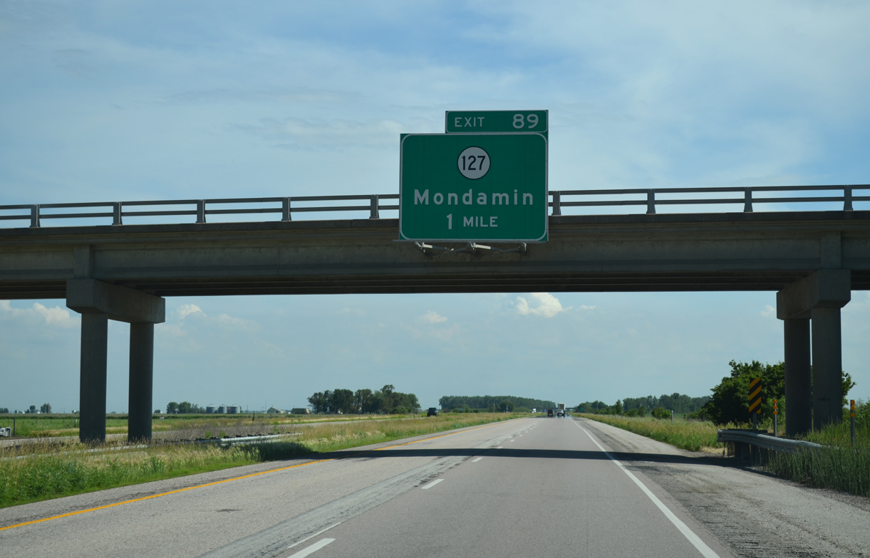
Interstate 29 meets the west end of Iowa 127 at Exit 89.
06/17/15
06/17/15
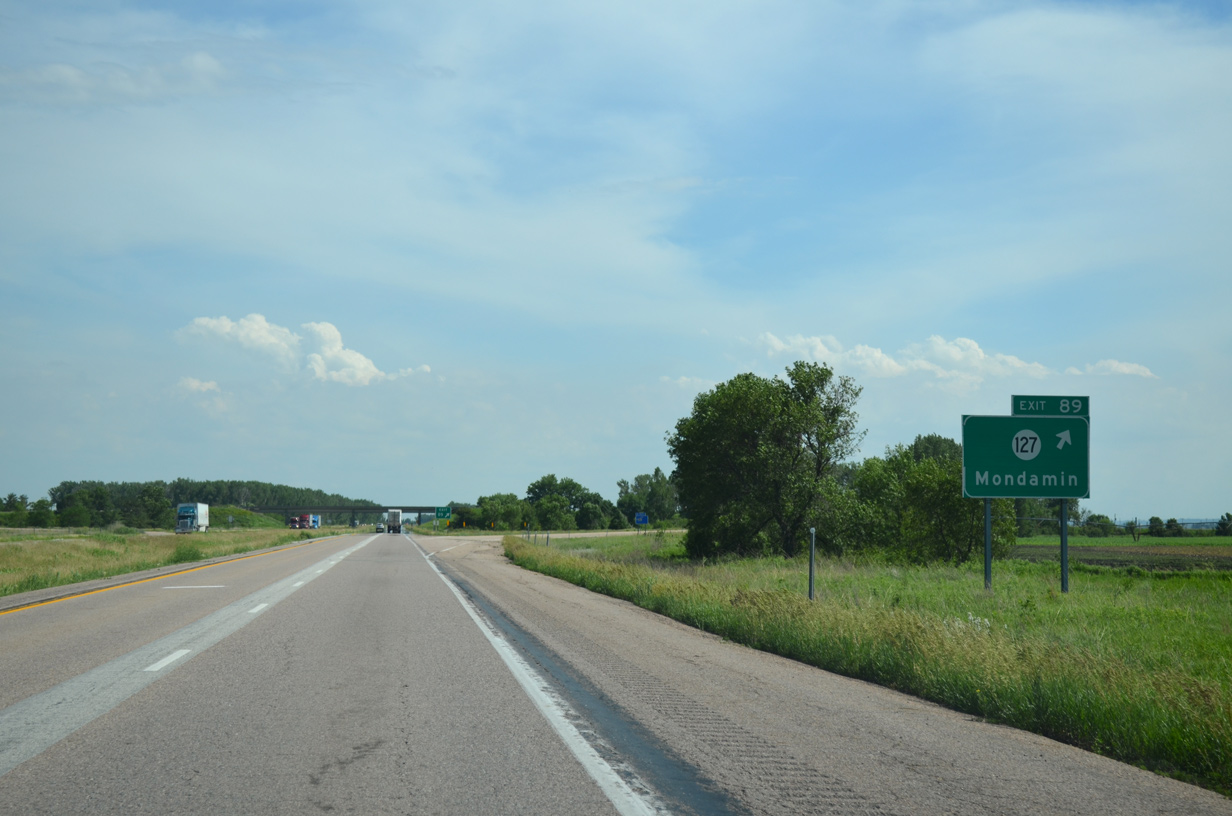
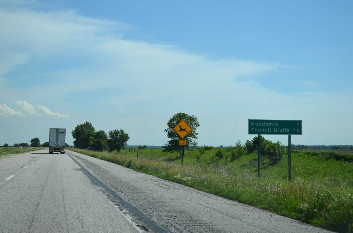
Iowa 127 arcs 15 miles east through Mondamin and Magnolia to U.S. 30 at Logan.
06/17/15
06/17/15
06/17/15
06/17/15
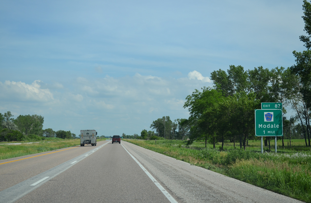
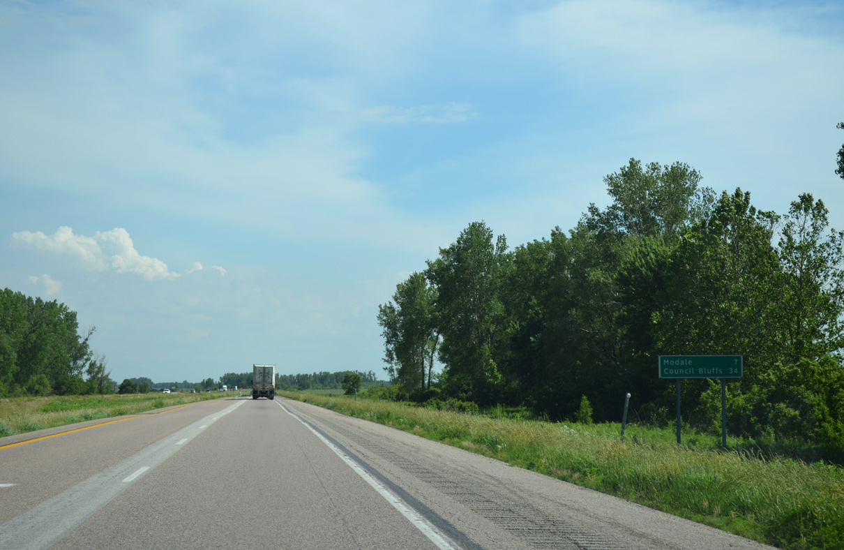
CR F50 (270th Street) joins Interstate 29 with the city of Modale just west of forthcoming Exit 82.
06/17/15
06/17/15
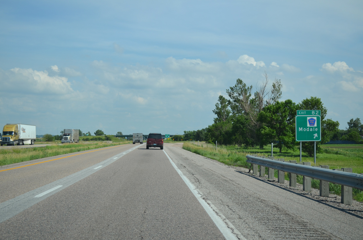
CR F50 west from the diamond interchange (Exit 82) with I-29 to Modale was formerly Iowa 300. CR F50 continues east to U.S. 30 at Logan.
06/17/15
06/17/15

06/17/15
06/17/15

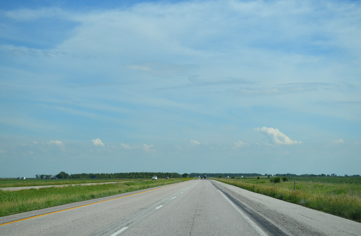
Angling southeast from Modale, I-29 passes by a set of parking areas in St. Johns township.
06/17/15
06/17/15
06/17/15

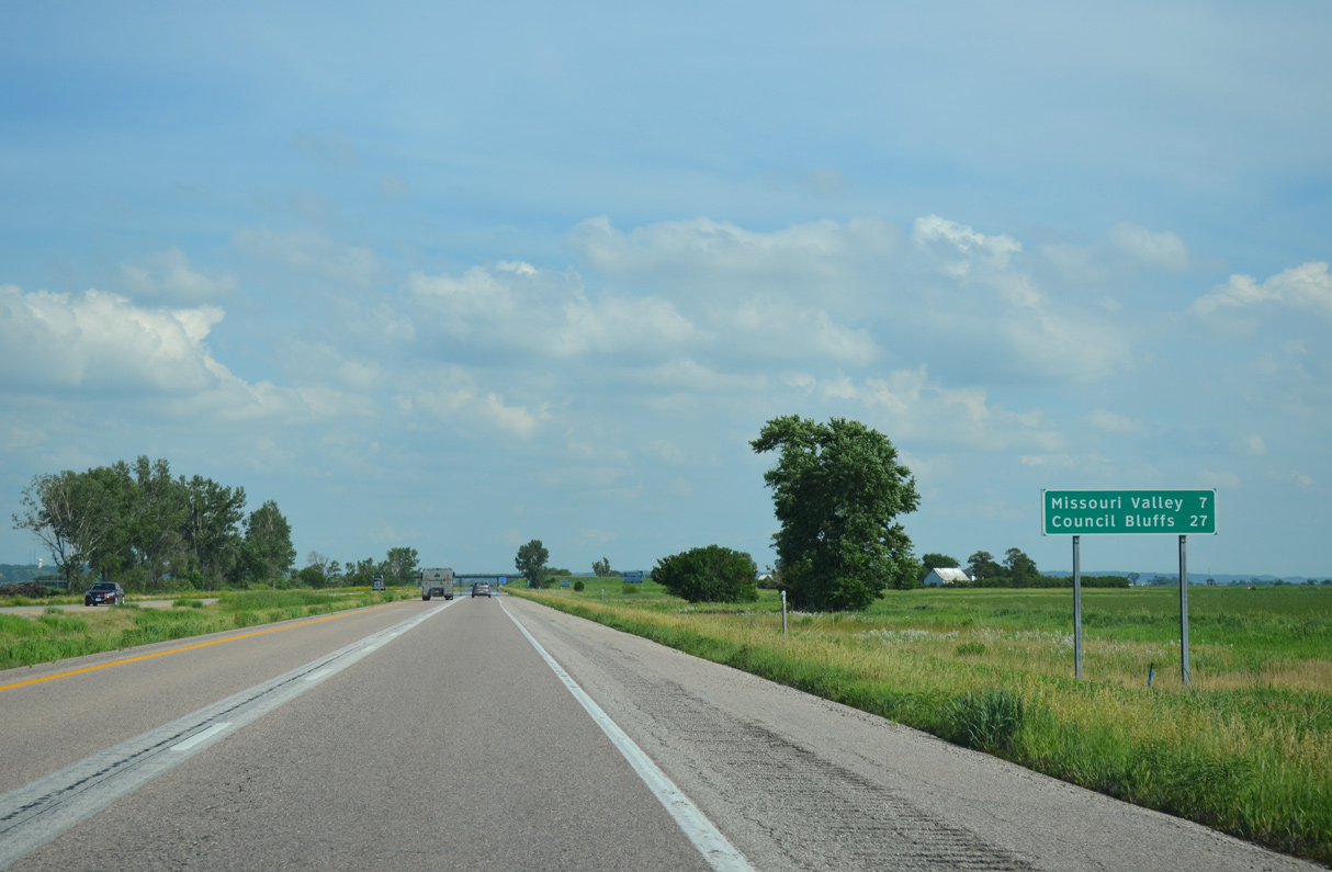
U.S. 30 meets I-29 in two miles within the city of Missouri Valley.
06/17/15
06/17/15
06/17/15
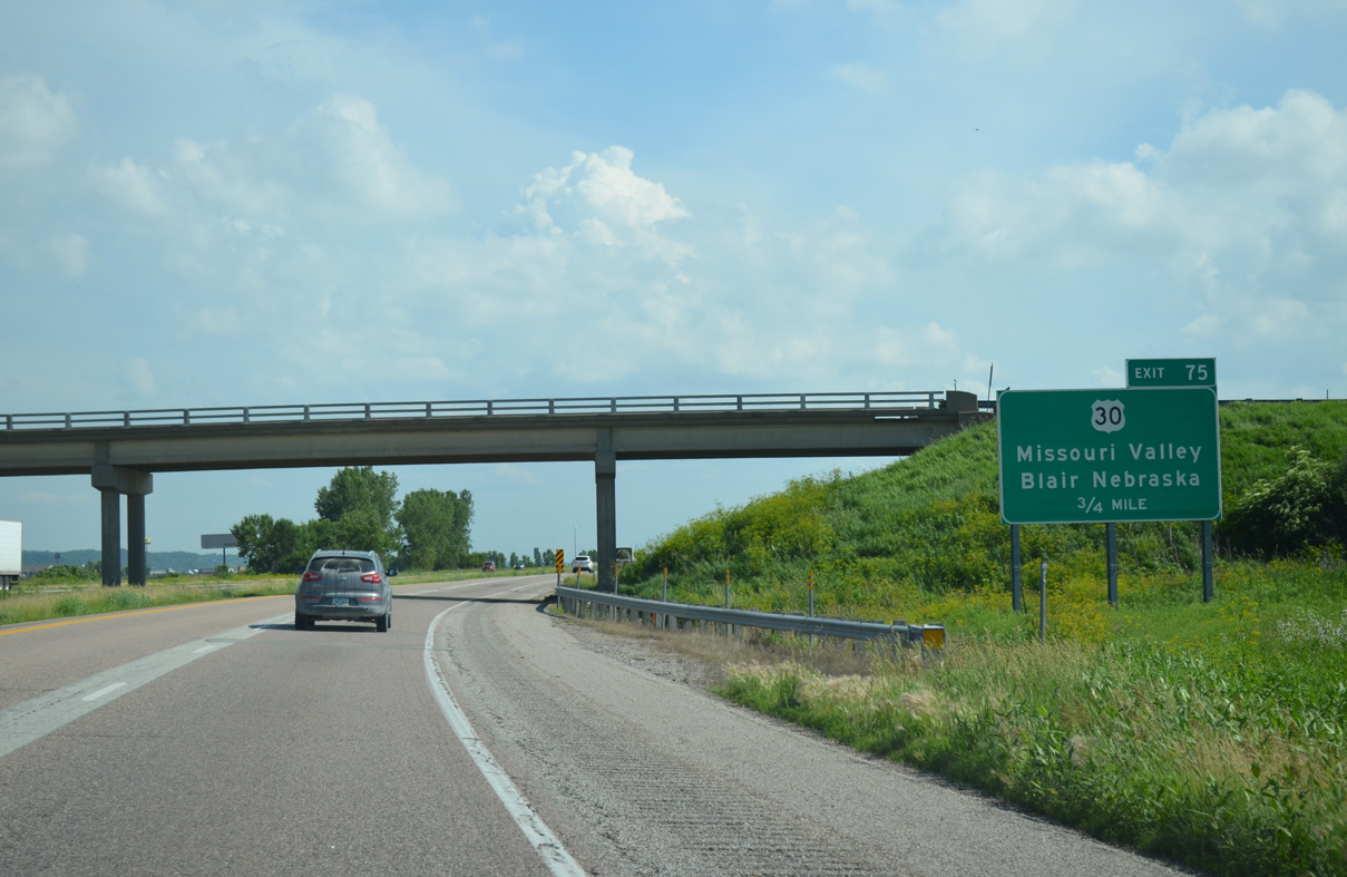
U.S. 30 runs nine miles west from Exit 75 to the Missouri River en route to Blair, Nebraska.
06/17/15
06/17/15
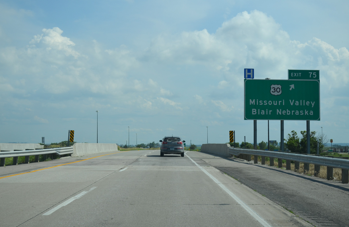
A parclo interchange joins I-29 with U.S. 30 at Exit 75. U.S. 30 (Lincoln Highway) heads east into the Missouri Valley city center and than northward to the Harrison County seat of Logan.
06/17/15
06/17/15
Interstate 29 advances two miles due south from U.S. 30 in Missouri Valley before curving eastward.
02/20/20
02/20/20
02/20/20
A shuttered weigh station lies two miles north of Interstate 880 along southbound I-29.
06/17/15
06/17/15
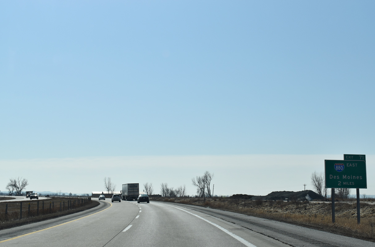
Renumbered to I-880 in Fall 2019, the northern leg of I-680 joins I-29 south with Interstate 80 east toward Des Moines.
02/20/20
02/20/20
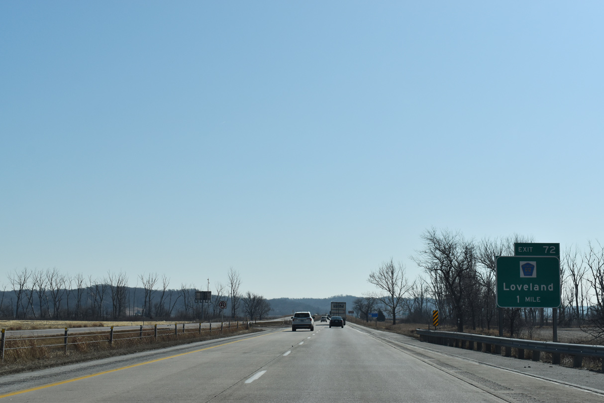
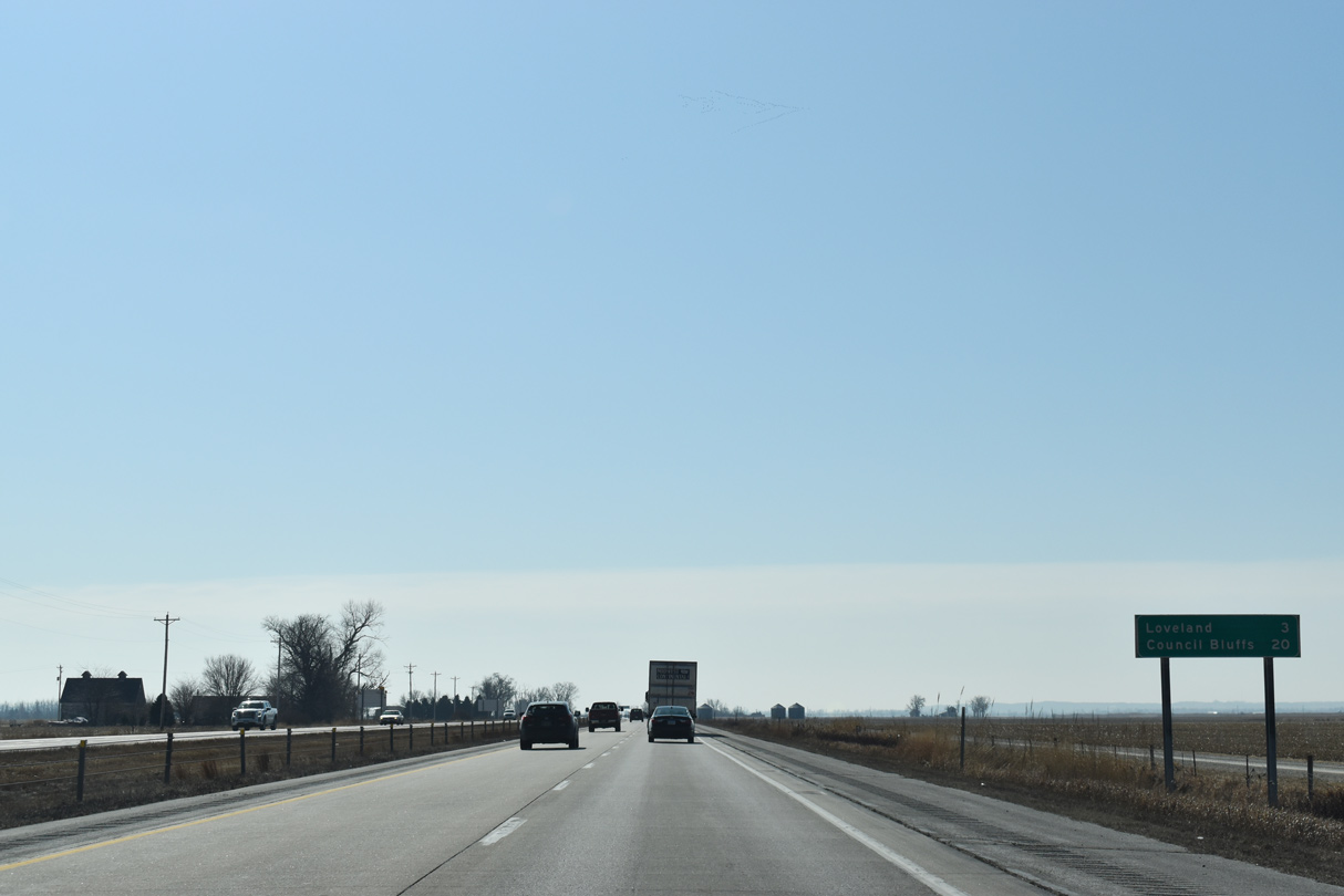
CR G12 ties into Interstate 29 just north of I-880 from the nearby community of Loveland.
02/20/20
02/20/20
02/20/20
02/20/20
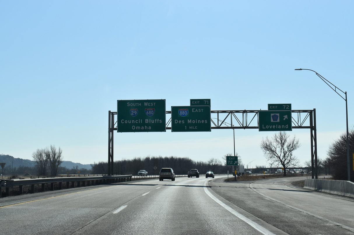
CR G12 replaced Iowa 382 between Wilson Island State Park and CR L20 / former Iowa 183 (Old Lincoln Highway) at Loveland. A trumpet interchange (Exit 71) follows CR G12 with I-880 east.
02/20/20
02/20/20
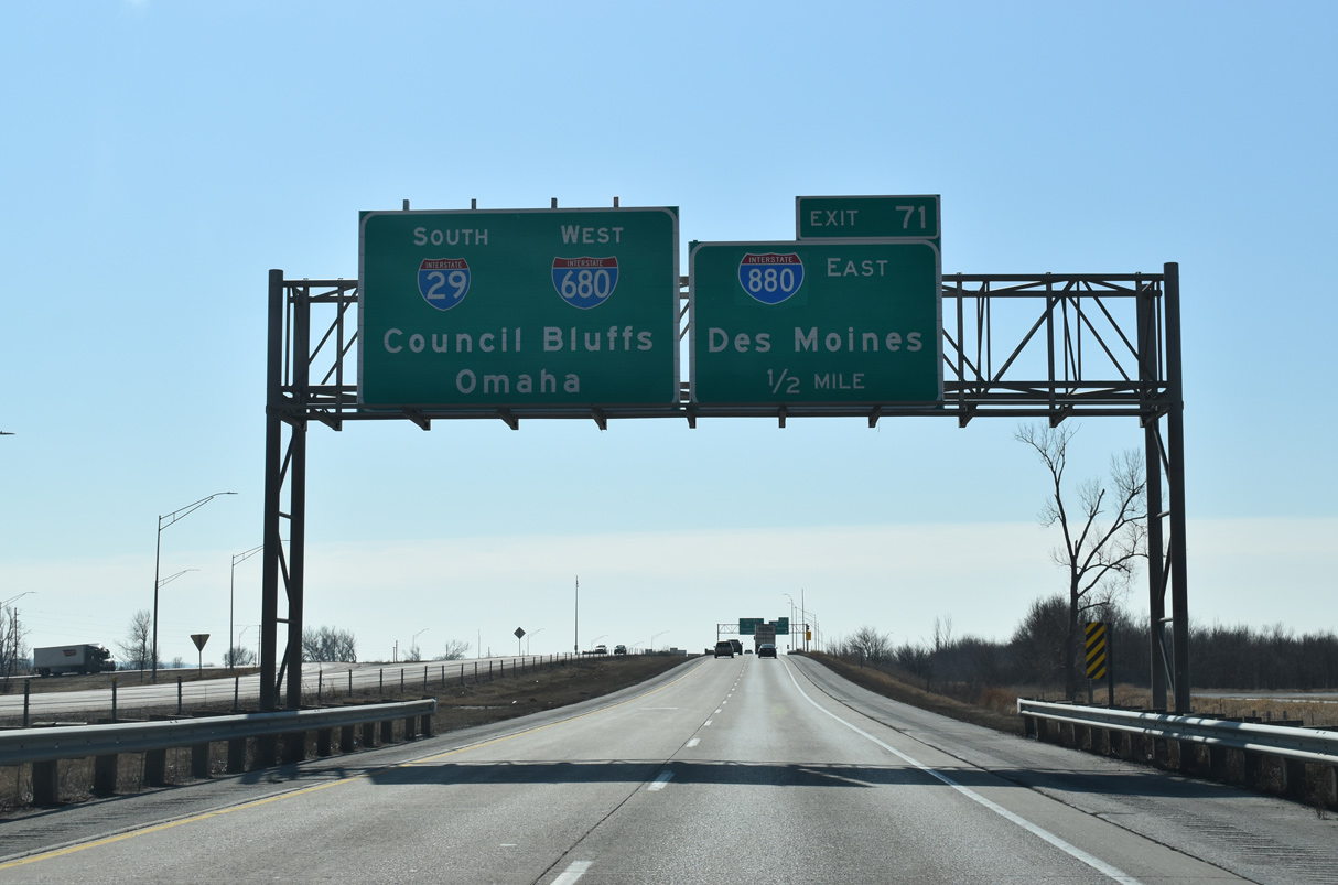
Interstate 880 was designated in place of I-680 due to motorist confusion with repeated closures of I-29 and I-680 further south because of Missouri River flooding in 2018/19. As a result, I-680 no longer overlaps with I-29 south to Crescent.
02/20/20
02/20/20
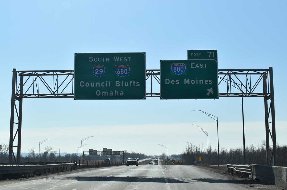
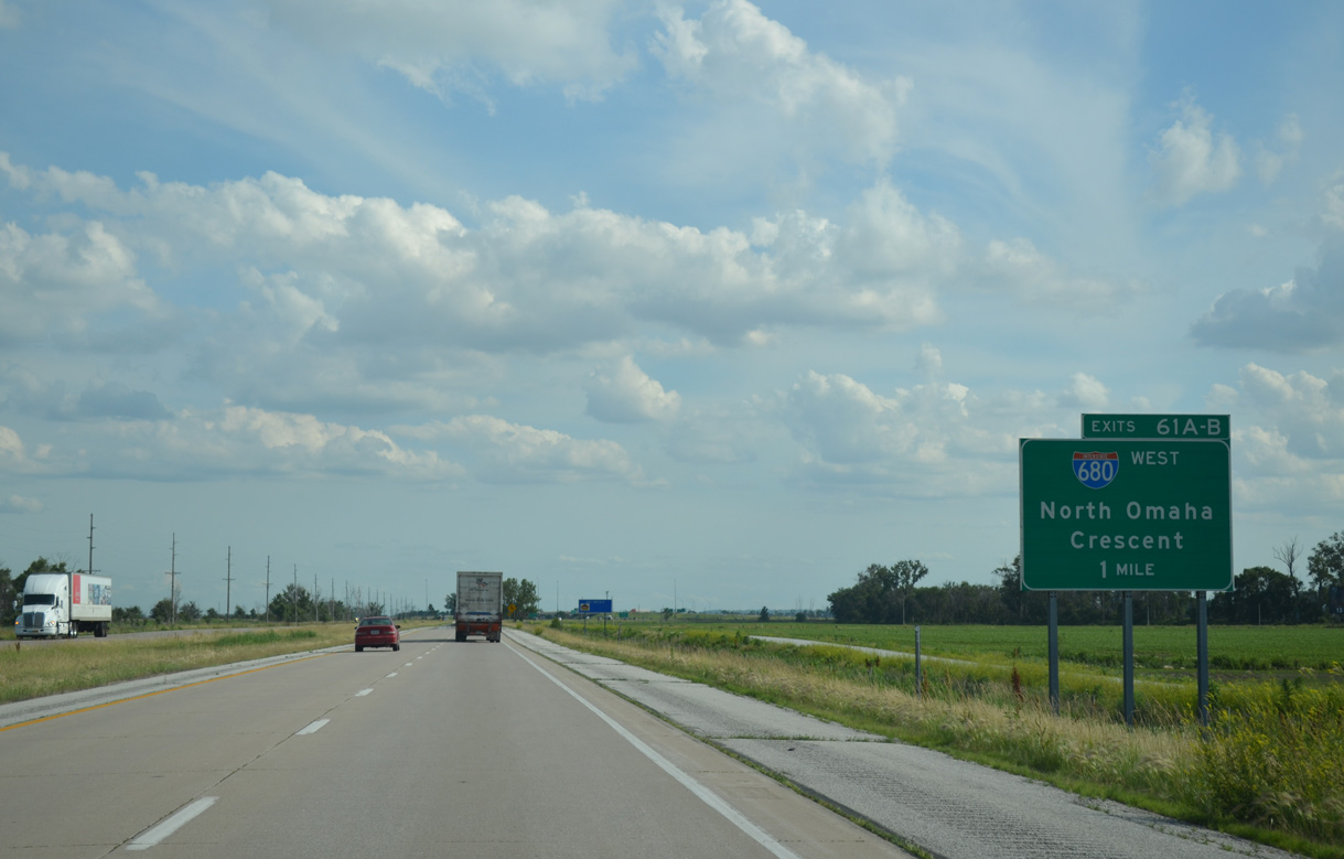
Exit 71 loops onto Interstate 880 east ahead of the Loess Hills. I-880 travels 17 miles east along a rural and scenic course to i-80 near Neola and Minden.
02/20/20
02/20/20
06/17/15
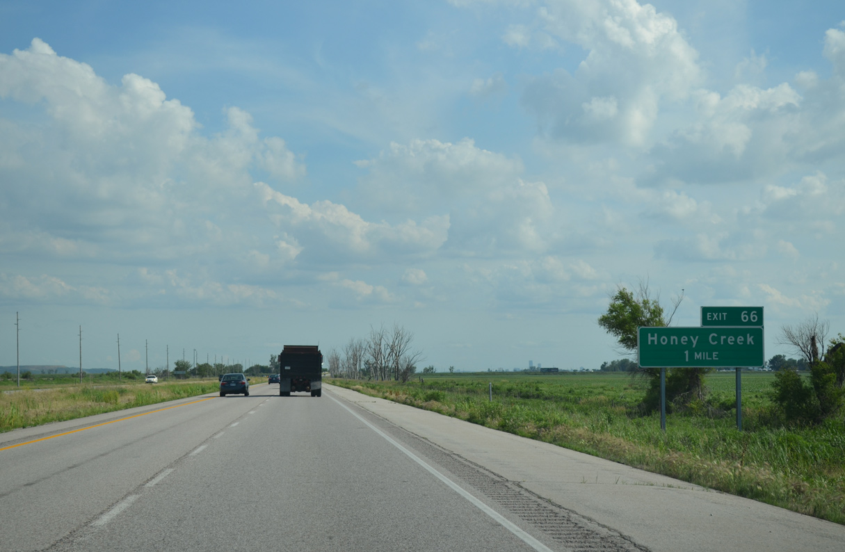
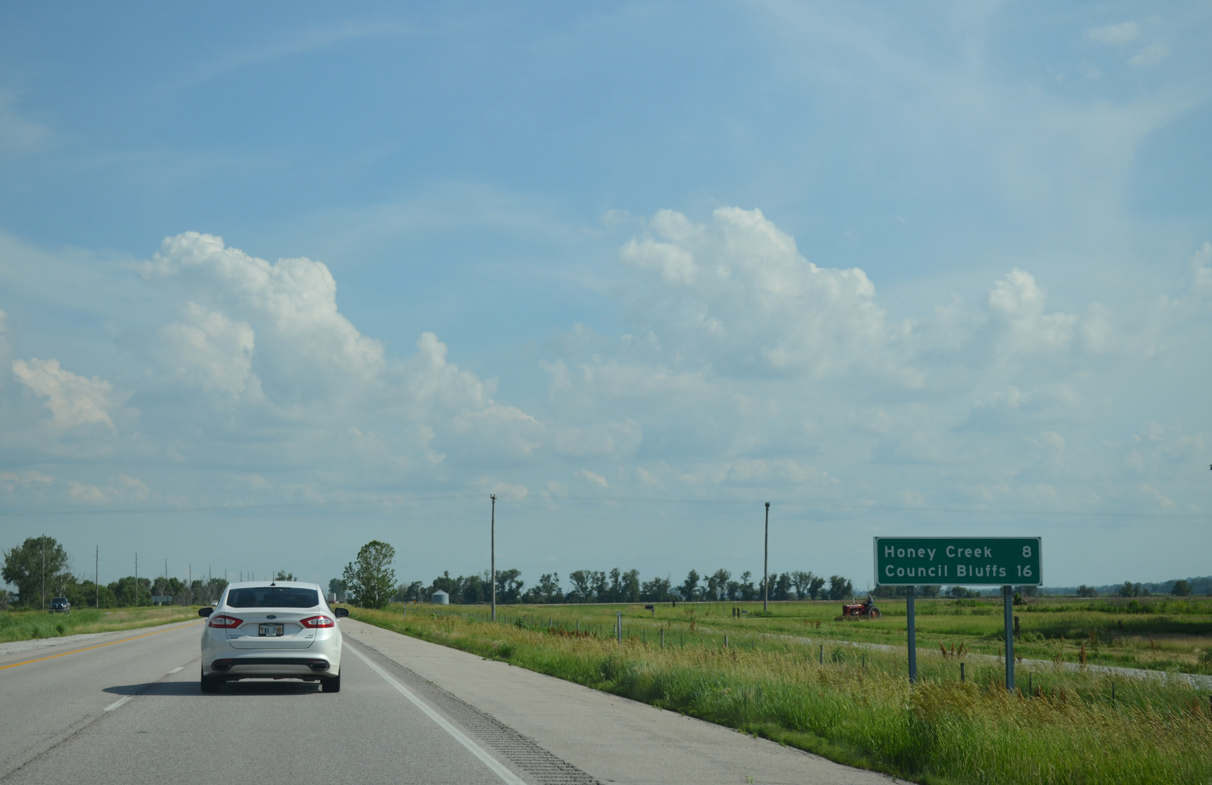
CR L19 parallels I-29 south from CR G12 near Loveland along 145th Street to Rosewood Road. CR L19 shifts east across I-29 at Exit 66 via Rosewood Road.
06/17/15
06/17/15
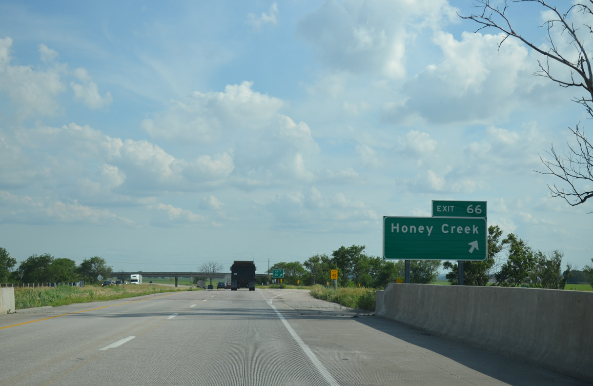
The community of Honey Creek lies northeast of Exit 66 via 152nd Street and Sumac Road along CR L 20 (Old Lincoln Highway). CR L19 follows 152nd Street south to the city of Crescent.
06/17/15
06/17/15
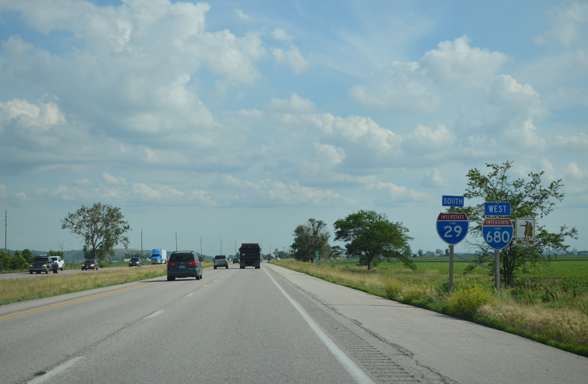
I-680 formerly split with I-29 south at the succeeding exit beyond Rosewood Road.
06/17/15
06/17/15
I-680 provides the first of three freeways connecting Interstate 29 with Omaha, Nebraska.
06/17/15
06/17/15
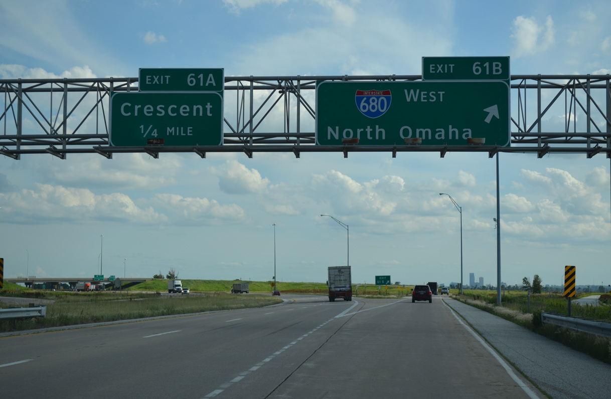
Interstate 680 extends west from a cloverleaf interchange (Exit 61) joining I-29 with CR G37 (Old Mormon Bridge Road) from Crescent.
06/17/15
06/17/15
Providing a bypass around the north side of Omaha, Nebraska, Interstate 680 loops 16.4 miles southwest to I-80.
06/17/15
06/17/15
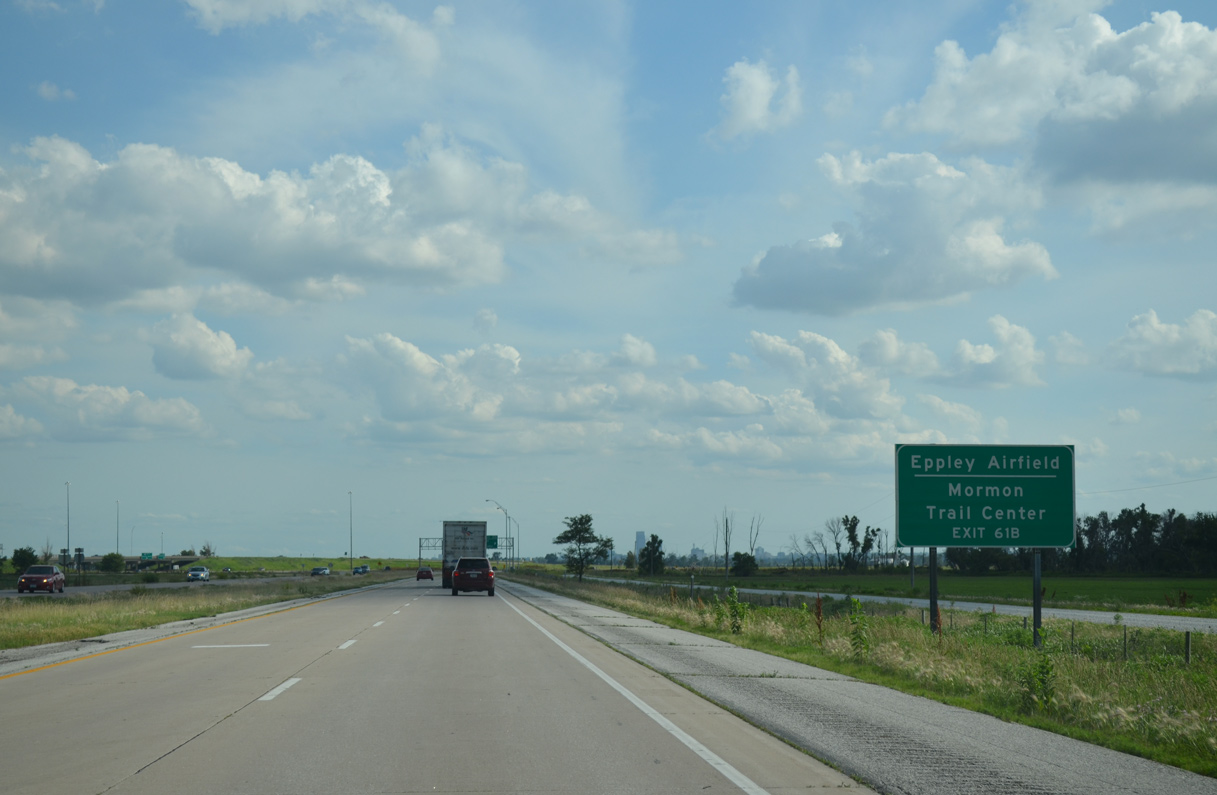
I-680 crosses the Mormon Bridge over the Missouri River west to N 31st Street by U.S. 75 and the Florence neighborhood in north Omaha. U.S. 75 leads south to the Arthur C. Storz Expressway, which provides the main route east to Eppley Airfield (OMA).
06/17/15
06/17/15
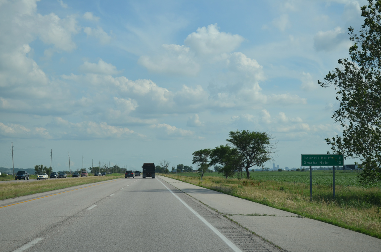
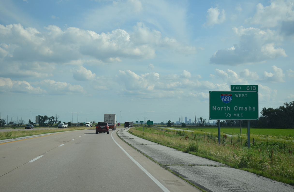
Exit 61B departs from I-29 south for Interstate 680 west. I-680 generally serves as a commuter freeway southward through Omaha.
06/17/15
06/17/15
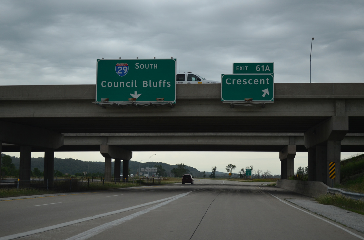
Exit 61A loops onto CR G37 (Old Mormon Church Road) east from the end of I-680 into the city of Crescent. CR G37 replaced Iowa 988 east to Old Lincoln Highway (old Iowa 183).
06/18/15
06/18/15
06/18/15
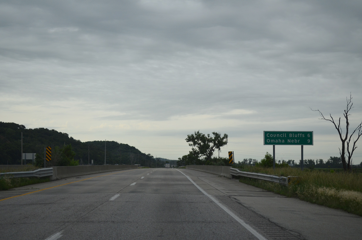
I-29 proceeds six miles south into Council Bluffs from the bridge across Pigeon Creek.
06/18/15
06/18/15
Interstate 29 shifts eastward along a strip between the Missouri River, parallel CN and UP Railroads, Joslin Avenue and the bluff line.
06/18/15
06/18/15
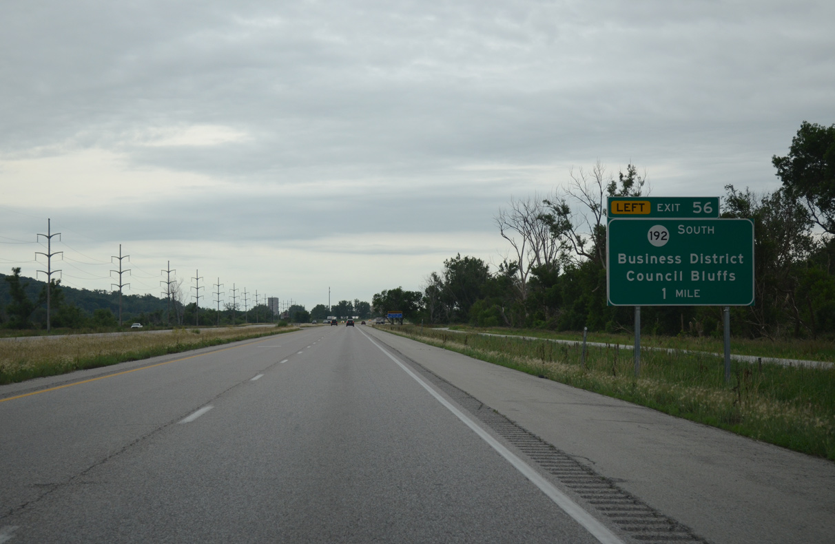
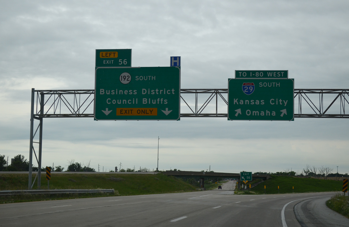
N 16th Street (former Iowa 192) branches south from Interstate 29 at a wye interchange (Exit 56) in one mile.
06/18/15
06/18/15
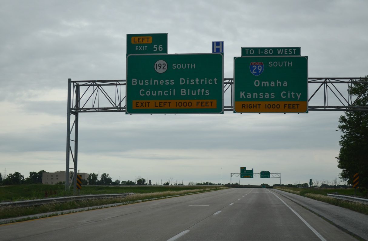
16th Street leads directly to Downtown Council Bluffs from Interstate 29 south. The four lane boulevard was designated as Iowa 192 until 2016, when it was relinquished to the city along with U.S. 6 along West Broadway.
06/18/15
06/18/15
06/18/15
06/18/15
Confirming marker posted southbound by Narrows River Access County Park in Council Bluffs.
09/05/05
09/05/05
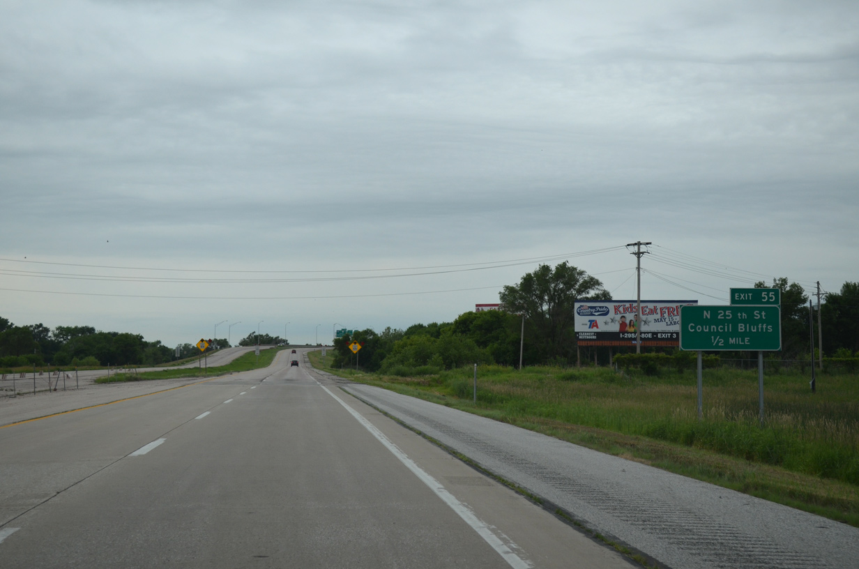
The speed limit along I-29 south reduces to 55 miles per hour at the diamond interchange (Exit 55) with N 25th Street in Council Bluffs.
06/18/15
06/18/15
Turning westward, I-29 reaches N 25th Street (Exit 55), two miles ahead of Interstate 480/U.S. 6 west to Downtown Omaha.
06/18/15
06/18/15
I-29 runs between the Council Bluffs residential street grid and the Missouri River levee system along the ensuing stretch west of N 25th Street.
06/18/15
06/18/15
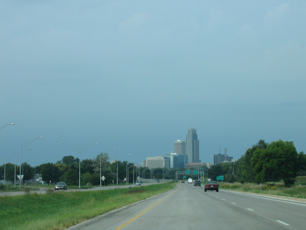
The Omaha skyline comes into view ahead adjacent to the N 35th Street ramps with northbound I-29. Ramps here were removed during the 2020-23 West Broadway Interchange project.
09/05/05
09/05/05
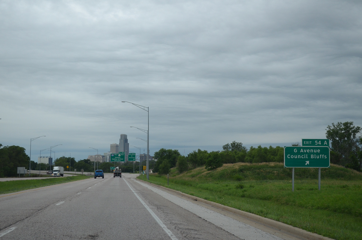
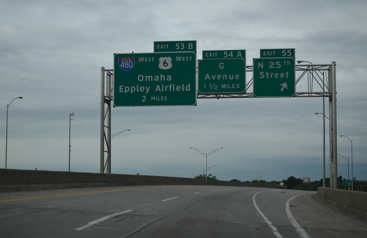
Curving southward again away from the Missouri River, I-29 meets Avenue G at Exit 54 A. The Broadway Interchange project replaced the ramps here with a half diamond interchange and frontage road system south to Broadway (former U.S. 6).
06/18/15
06/18/15
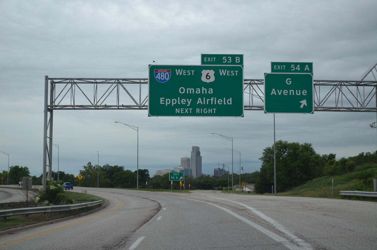
Avenue G runs across residential areas in north Council Bluffs. I-480 and U.S. 6 combine west from a directional T interchange (Exit 53B) linking Broadway with the Gerald Ford Freeway into Downtown Omaha.
06/18/15
06/18/15
Interstate 480 constitutes a 4.90 mile urban loop west to U.S. 75 (North Freeway) at Midtown Omaha and south to I-80 and the Kennedy Freeway by Hanscom Park in Omaha.
06/18/15
06/18/15
The Broadway Interchange project realigned the roadways for I-29 so that they run side by side and redesigned the directional T interchange with I-480/U.S. 6 to eliminate left exit ramps.
06/18/15
06/18/15
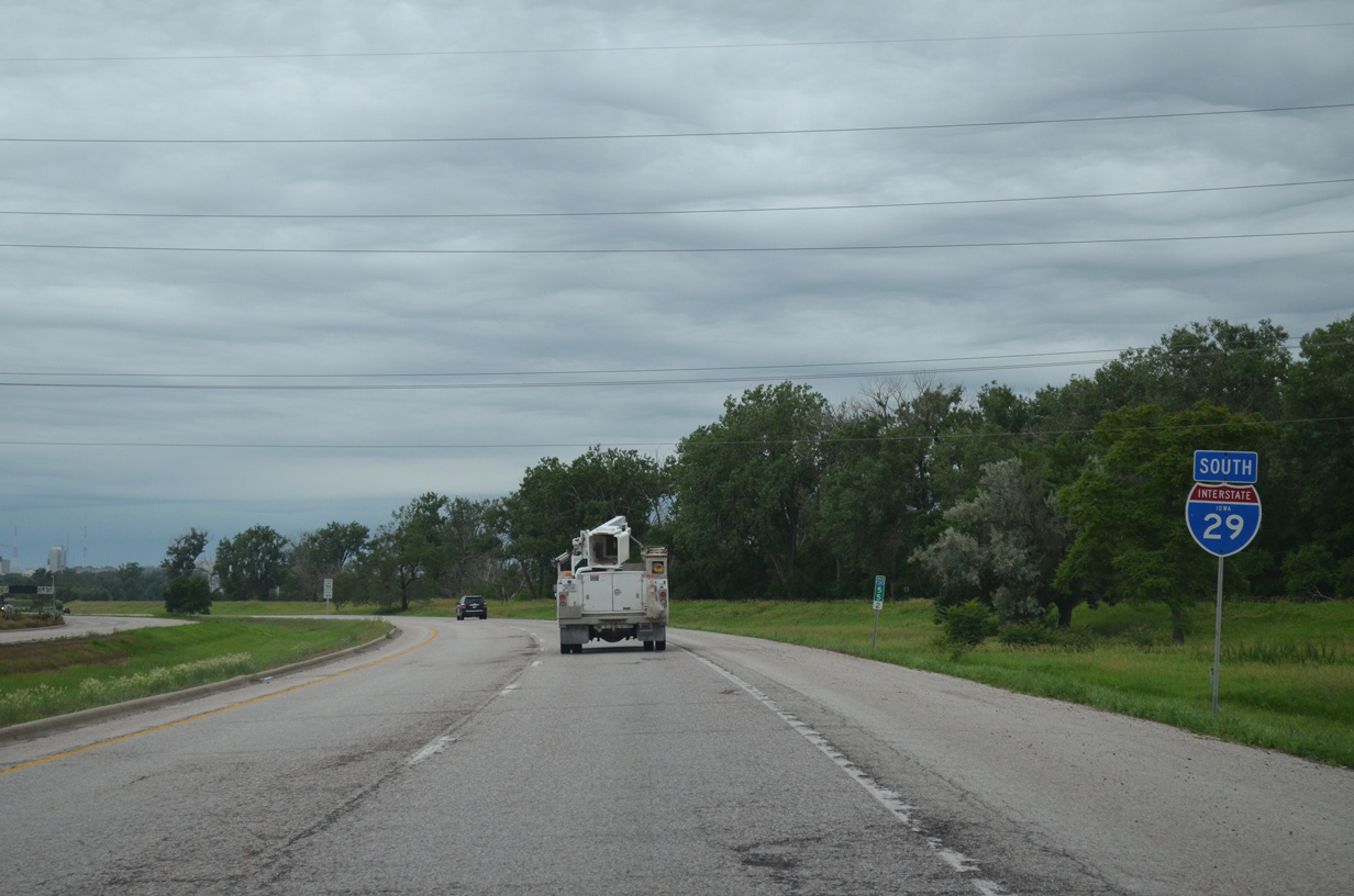
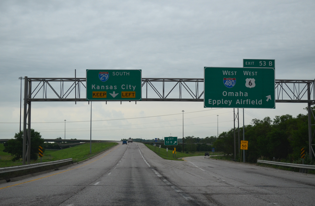
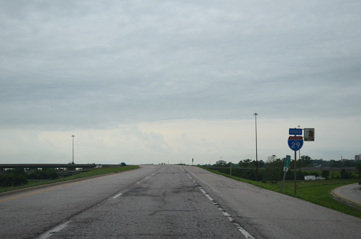
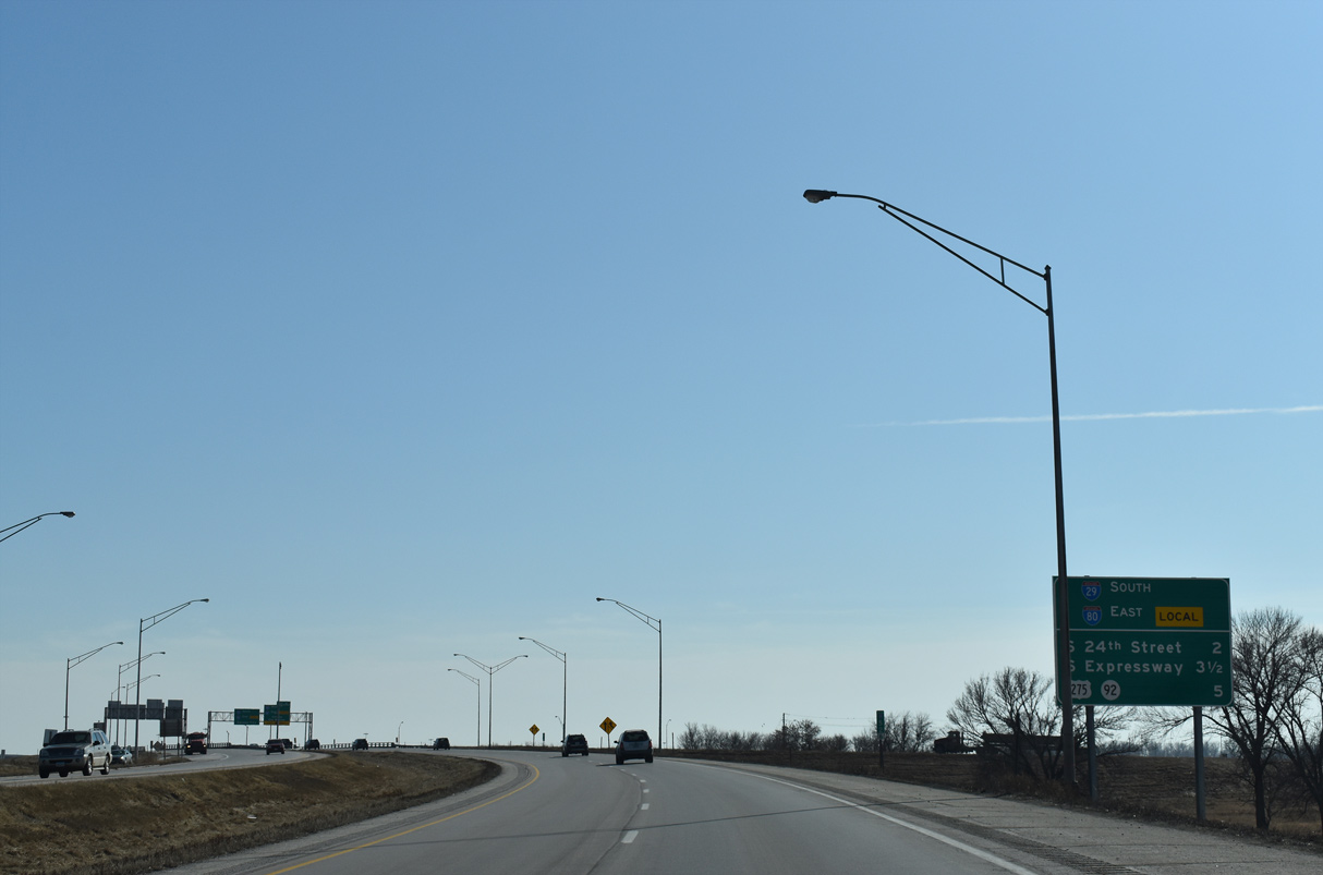
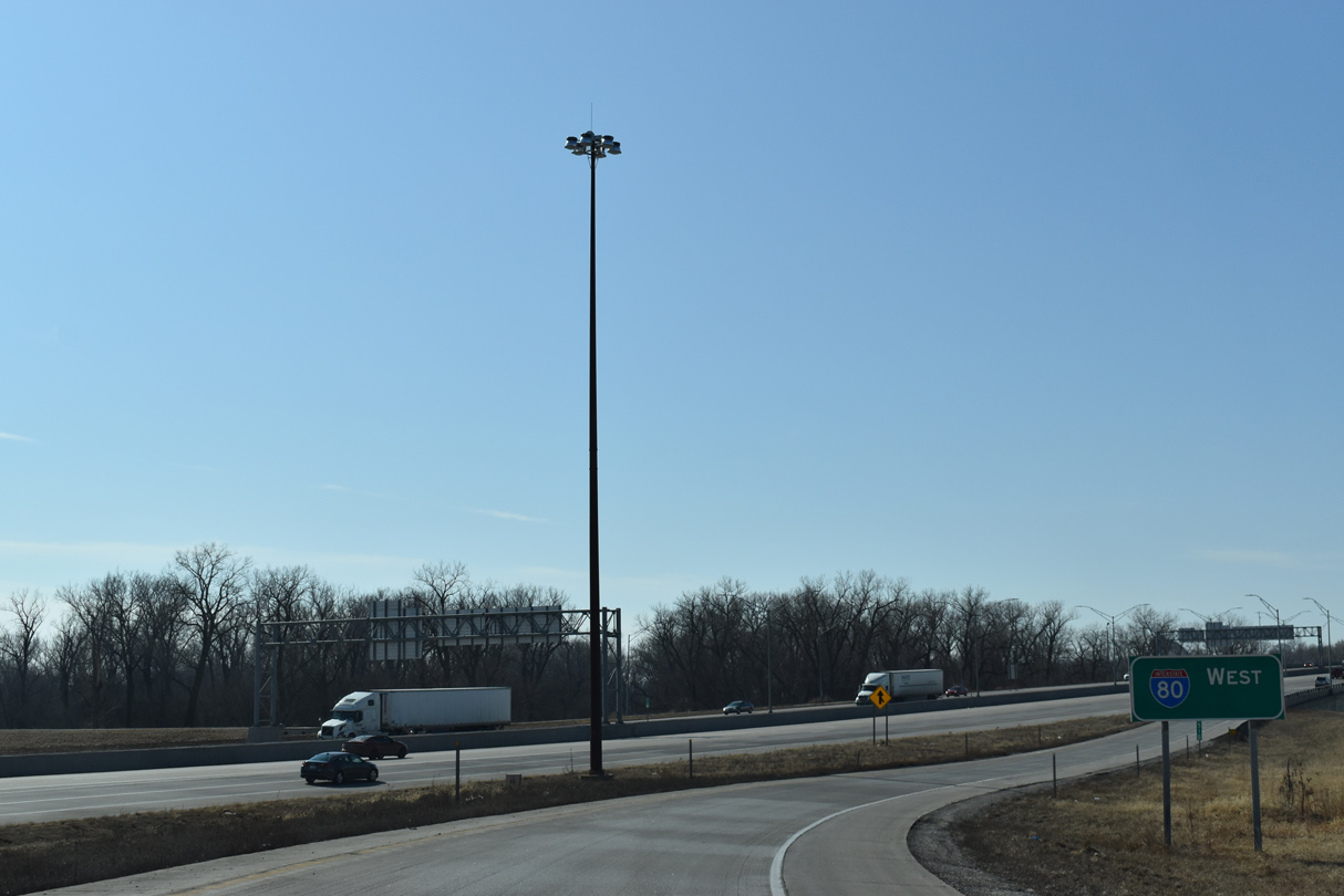
U.S. 6 east overlaps with Interstate 29 south 2.26 miles to the I-80 Local roadway.
02/22/20
02/22/20
I-29/U.S. 6 proceed south from 9th Avenue to Nebraska Avenue. The forthcoming Union Pacific Railroad bridge was reconstructed to accommodate widening of I-29 in 2018-19.
02/22/20
02/22/20
Shifting southeast beyond the UP Railroad bridge, I-29/U.S. 6 enter a folded diamond interchange (Exit 52) with Nebraska Avenue. This exchange was rebuilt as part of the 2020-23 Broadway Interchange project.
02/22/20
02/22/20
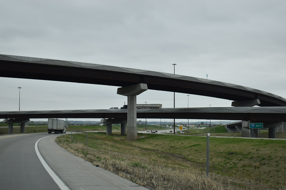
Interstate 29/U.S. 6 angle southeast from Nebraska Avenue directly into a systems interchange with I-80 east of the Missouri River Bridge.
02/22/20
02/22/20
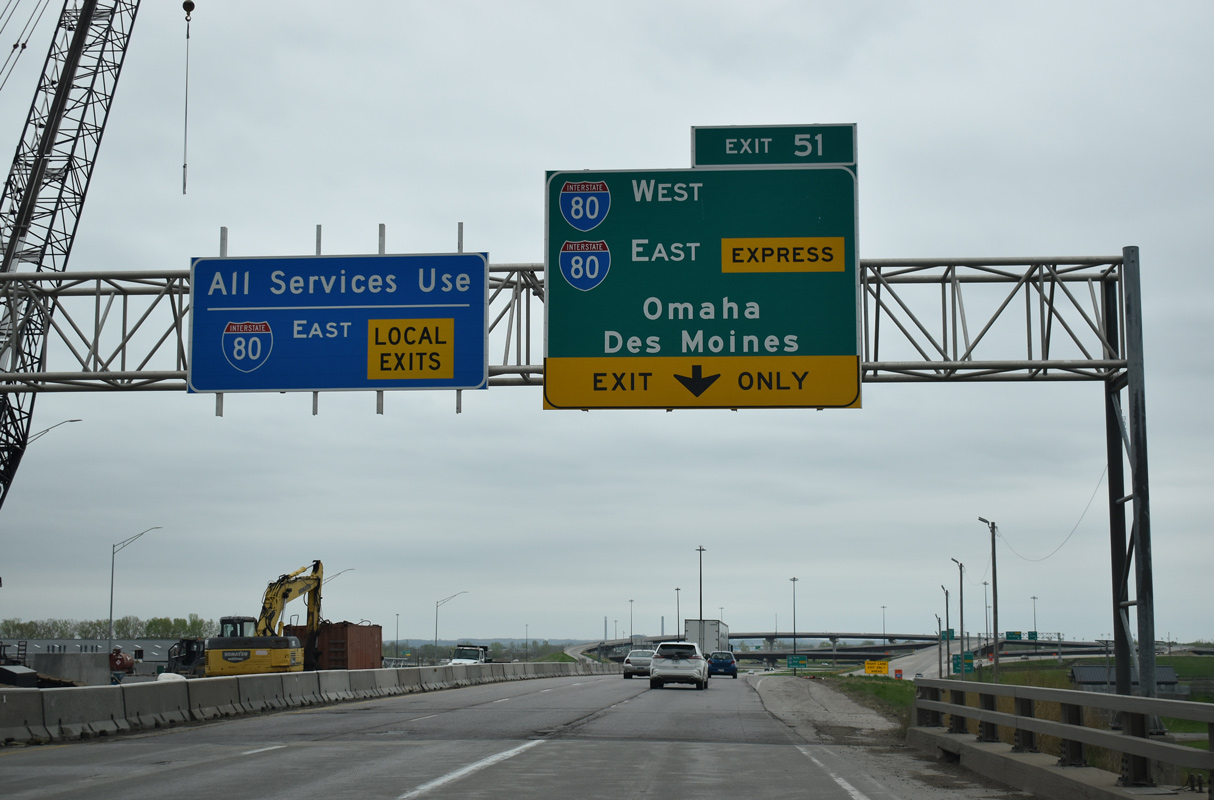
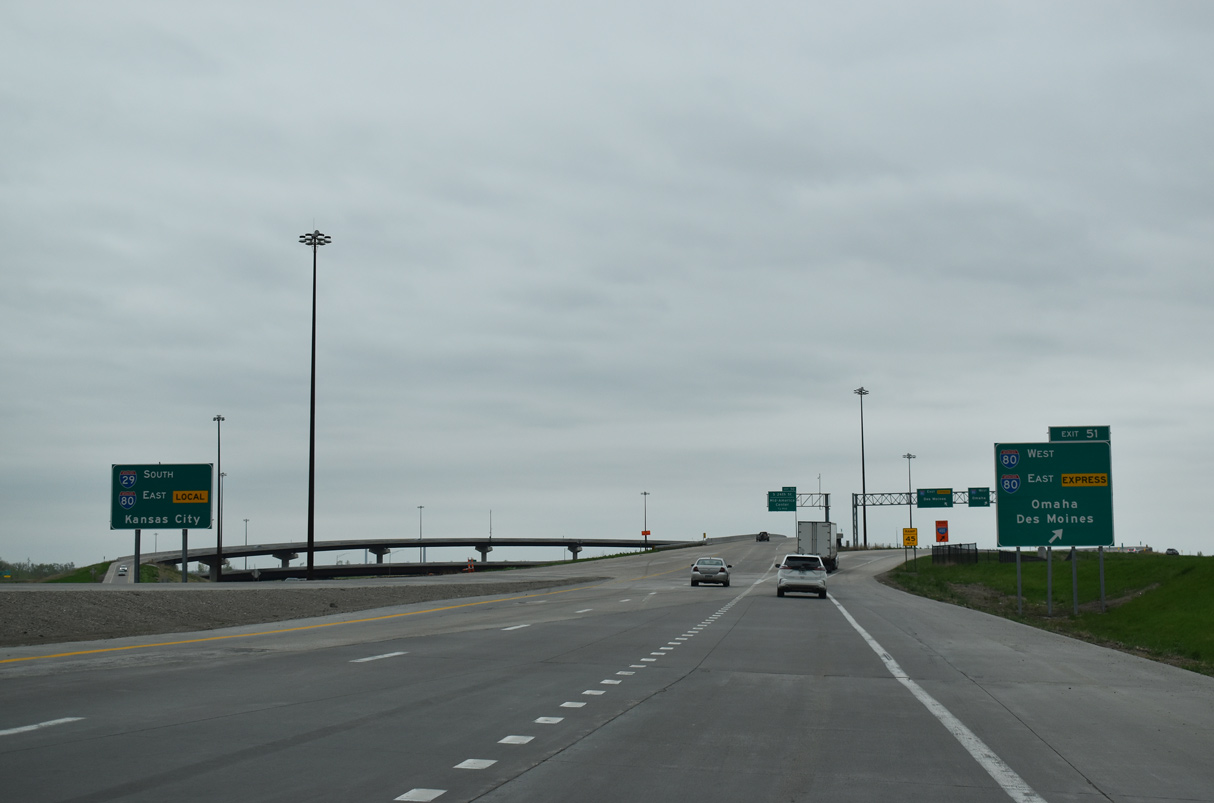
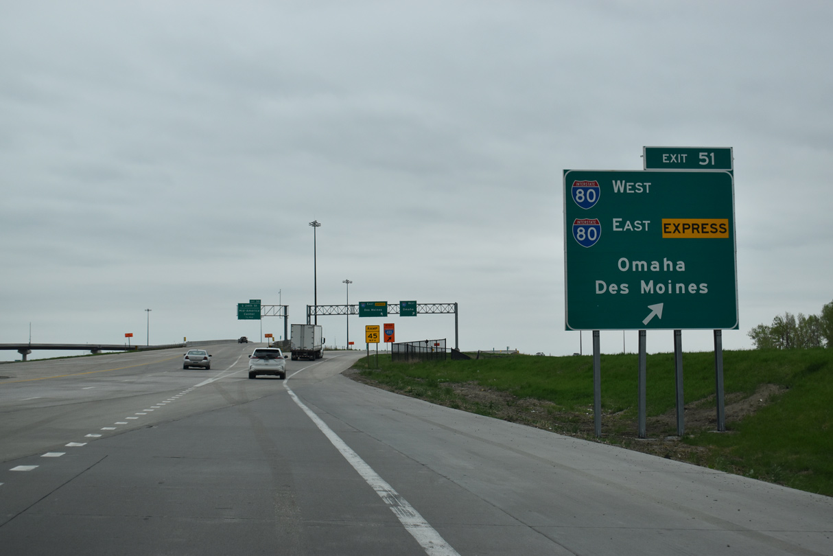
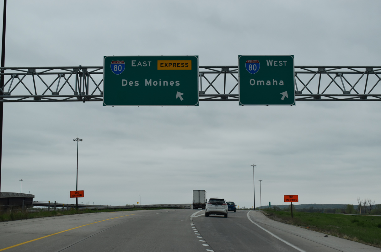
Exit 51 connects I-29/U.S. 6 south with I-80 west across the Missouri River Bridge into Omaha, Nebraska and the I-80 Express roadway toward Des Moines.
05/08/22
05/08/22
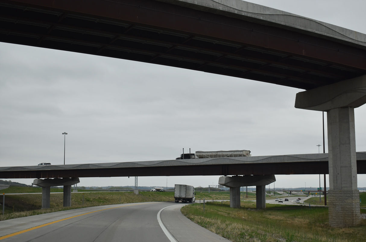
2009 to 2019 construction on the Council Bluffs Interstate System Improvement Program expanded I-29/80 into a dual freeway configuration. The Local/Express roadway setup eliminated weaving and improved traffic flow.
05/08/22
05/08/22
05/08/22
02/22/20
02/22/20
05/08/22
05/08/22
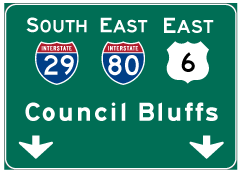

Photo Credits:
- ABRoads: 06/17/15, 06/18/15, 02/22/20, 05/08/22
- Brent Ivy: 02/20/20, 02/22/20
- AARoads: 09/05/05
Connect with:
Page Updated Saturday February 24, 2024.