
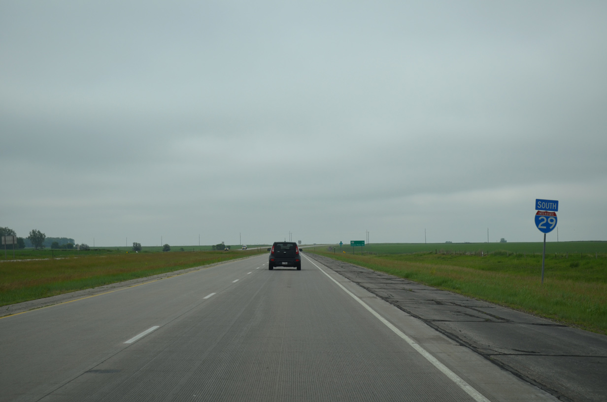
I-29 South - Grant, Codington, Hamlin & Deuel Counties

 South
South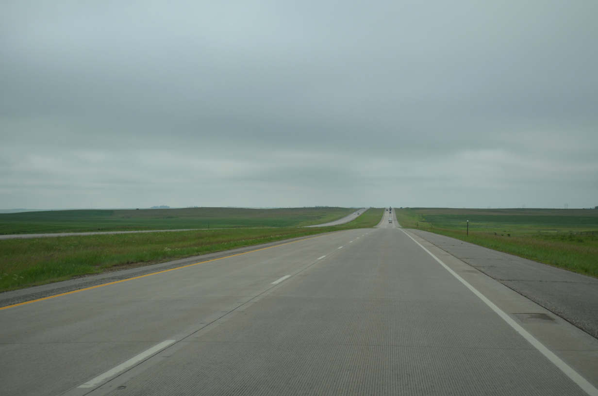
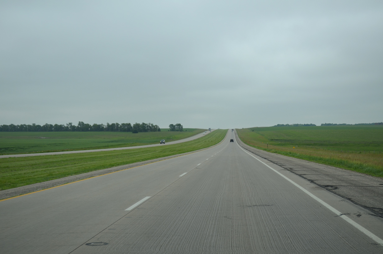
Advancing south from the Summit vicinity, I-29/U.S. 81 travel across uninterruppted praireland over the next 5.5 miles through Farmington township.
06/17/15
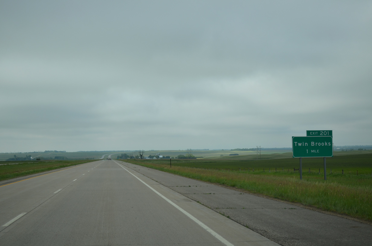
The lone Grant County exit connects Interstate 29 with County Road 8 (149th Street) in one mile.
06/17/15
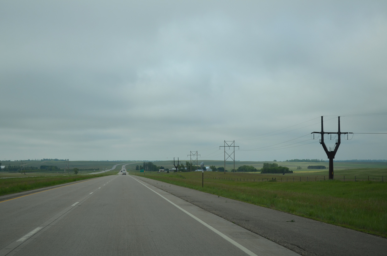
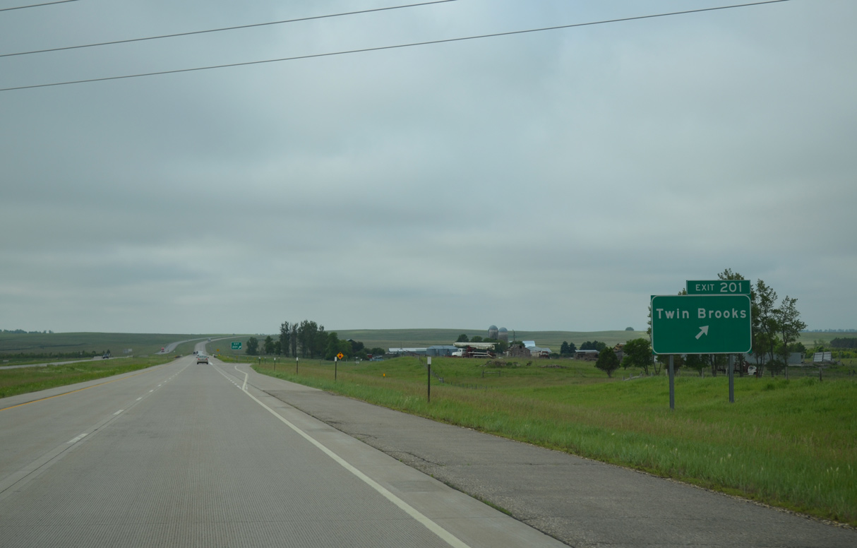
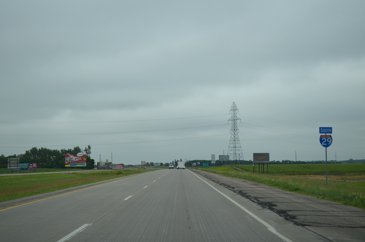
A parallel transmission corridor switches sides with Interstate 29 at Exit 201 to run east of the freeway to a substation near Exit 177 (U.S. 212).
06/17/15
149th Street ventures 13.2 miles east end at 471st Avenue, just north of the rural town of Twin Brooks. 149th Street west intersects 456th Avenue (historic U.S. 81) in 2.5 miles.
06/17/15

Interstate 29 leaves Lake Traverse Reservation as it turns due south into Mazeppa township.
06/17/15
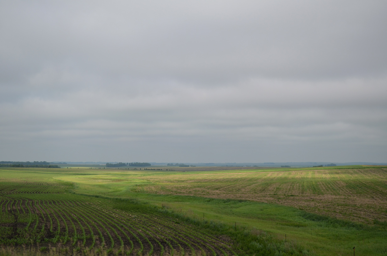
Agricultural areas spread westward toward the Indian River in Lura township.
06/17/15
Southbound I-29/U.S. 81 continues one mile from the 152nd Street (CR 14) underpass in this scene near milepost 197.
06/17/15
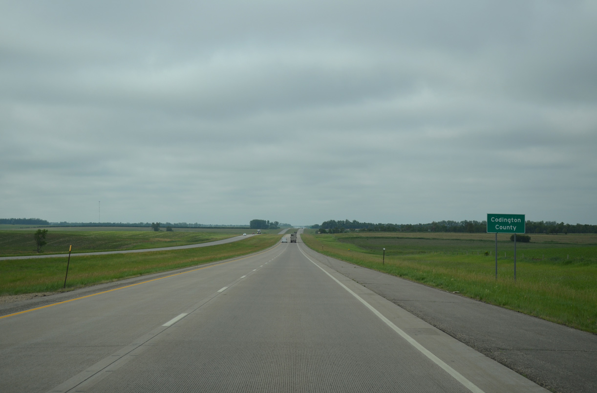
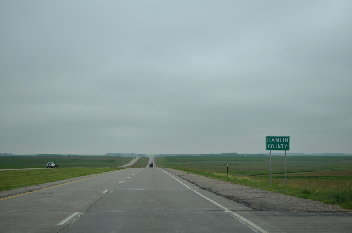
Southbound motorists along I-29/U.S. 81 cross the Codington County line just ahead of Soo Creek. The county was formed out of Hamlin, Grant and Clark Counties in 1878.
06/17/15
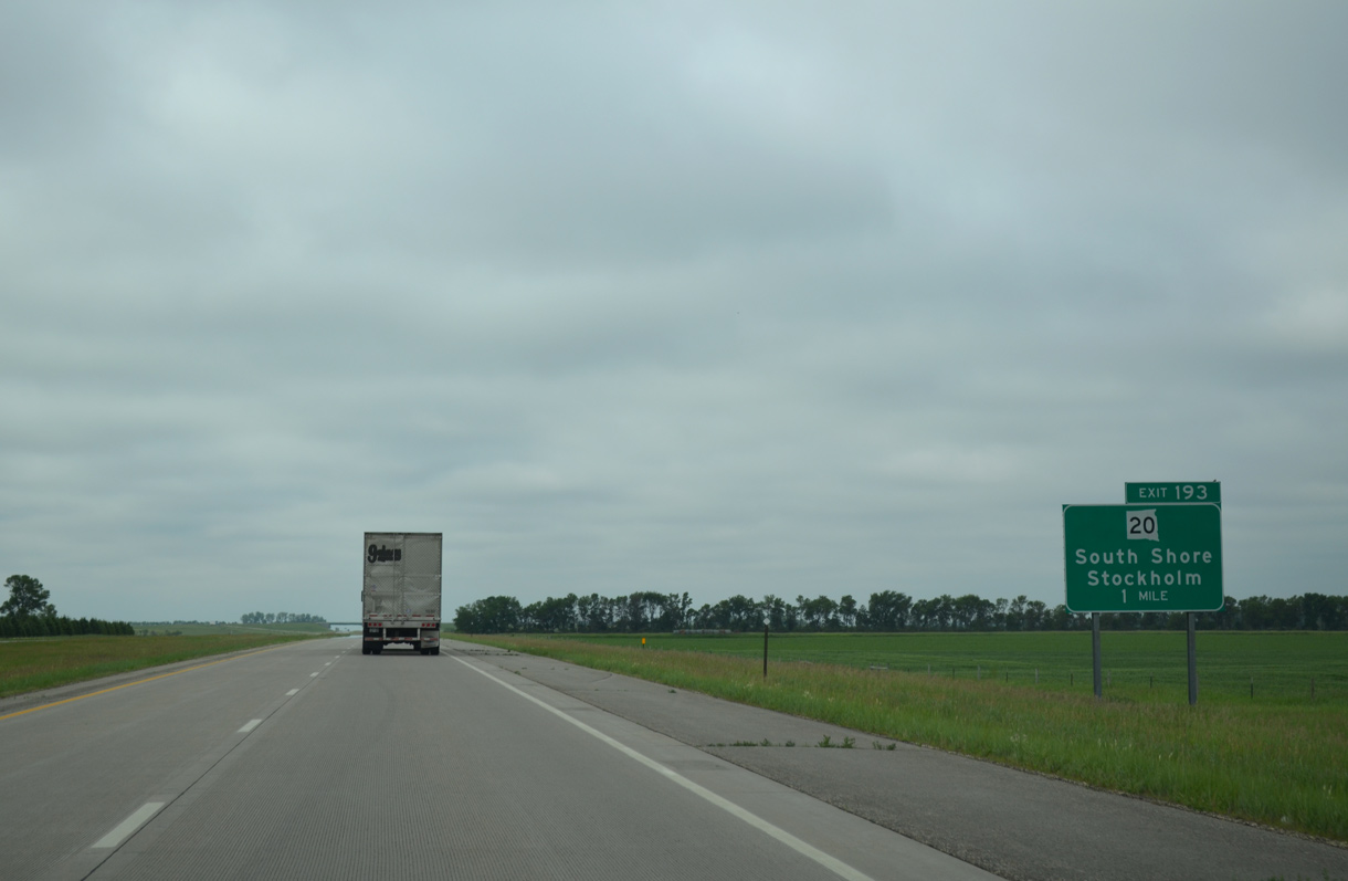
Travelers reach the first of four Codington County interchanges along I-29 south in one mile at Exit 193 with SD 20. The east branch of SD 20 runs 39.02 miles east from parallel old U.S. 81 (455th Avenue) to become MN 40 ahead of Marietta.
06/17/15
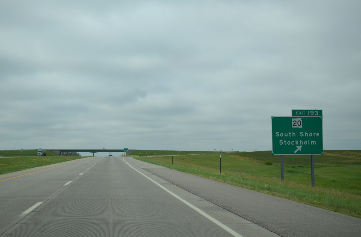
SD 20 runs 5.5 miles from Exit 193 to the town of South Shore. Stockholm, a town of around 100, lies seven miles further in southern Grant County.
06/17/15
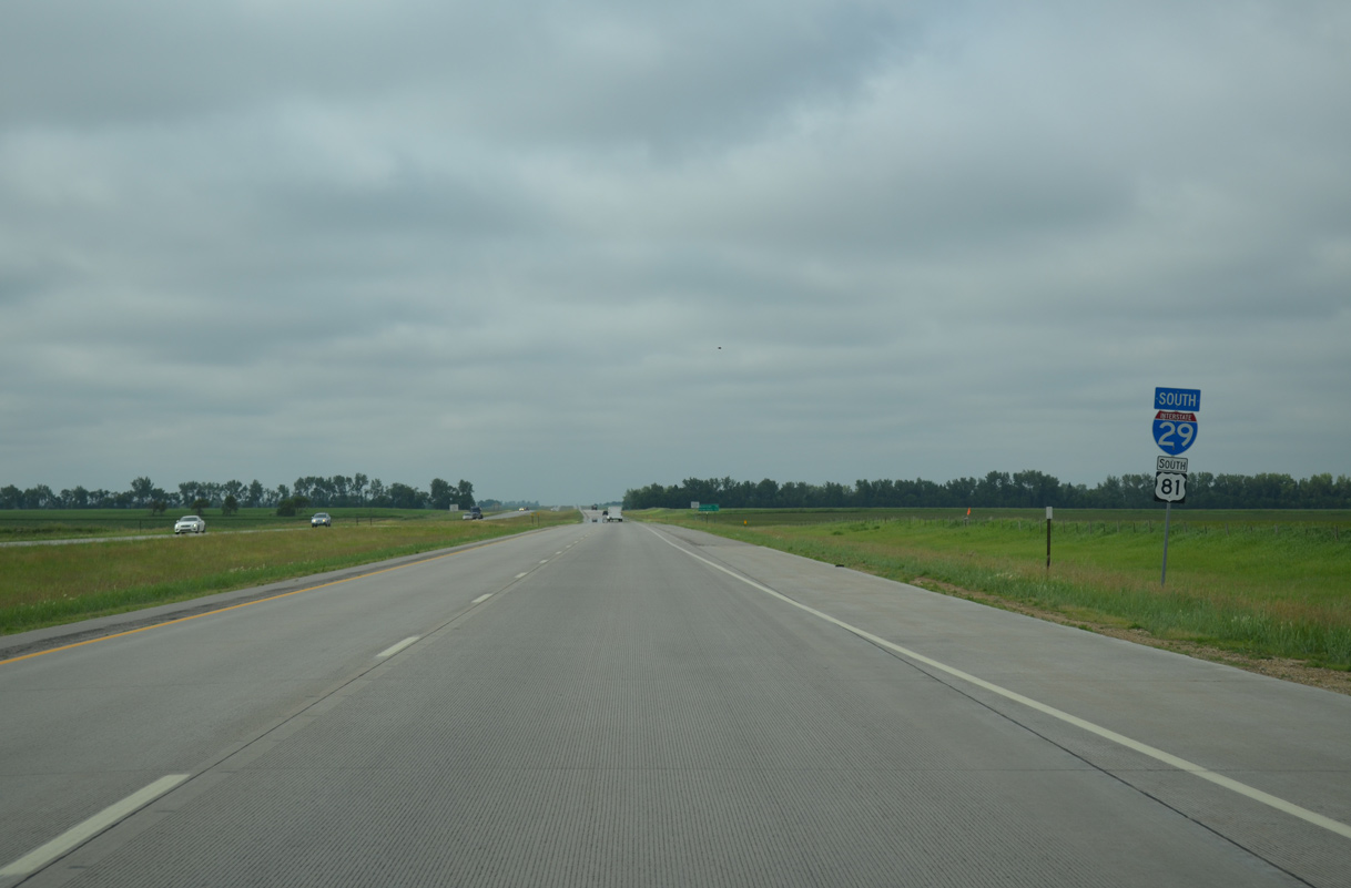
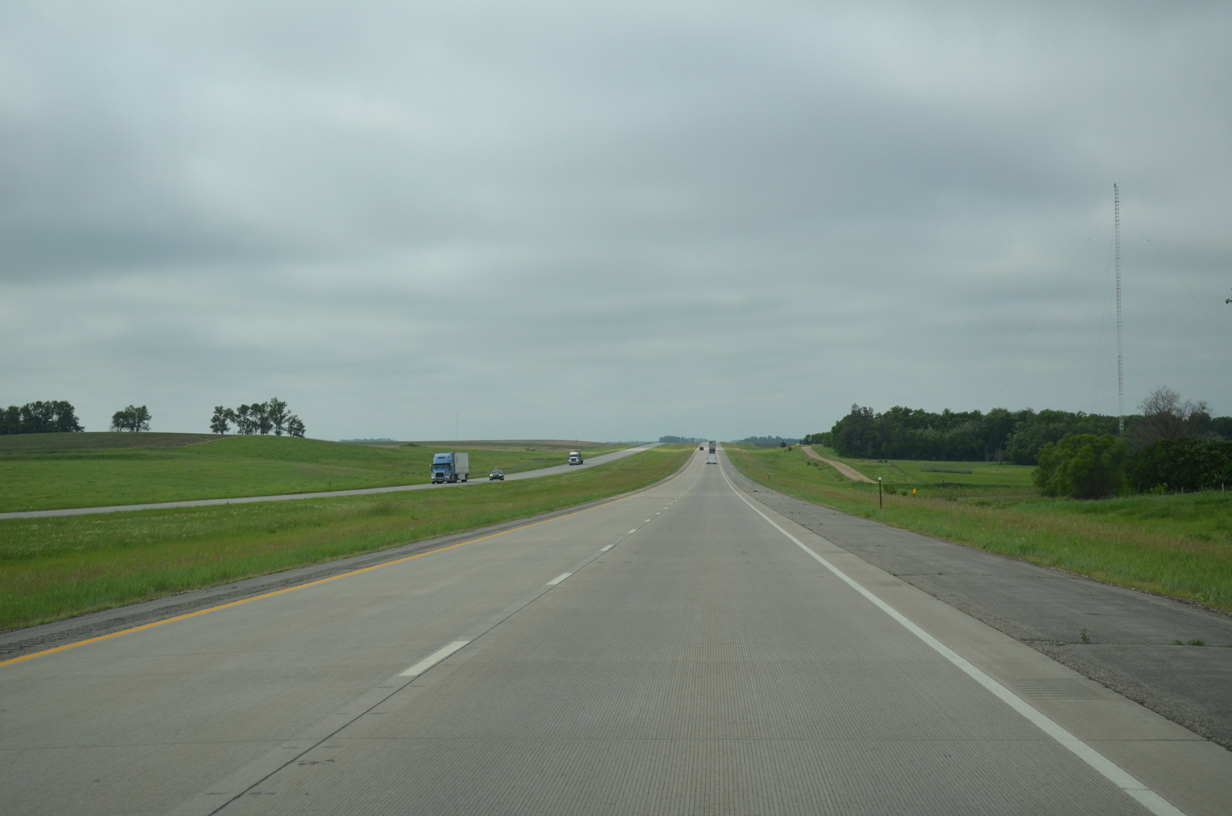
Interstate 29/U.S. 81 bee line south through Rauville township along a 6.5 mile long uninterrupted stretch.
06/17/15
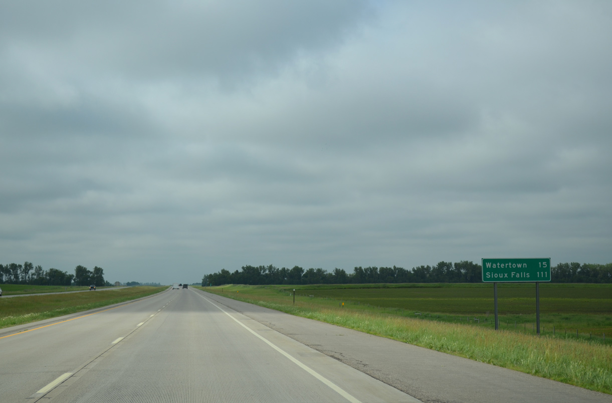
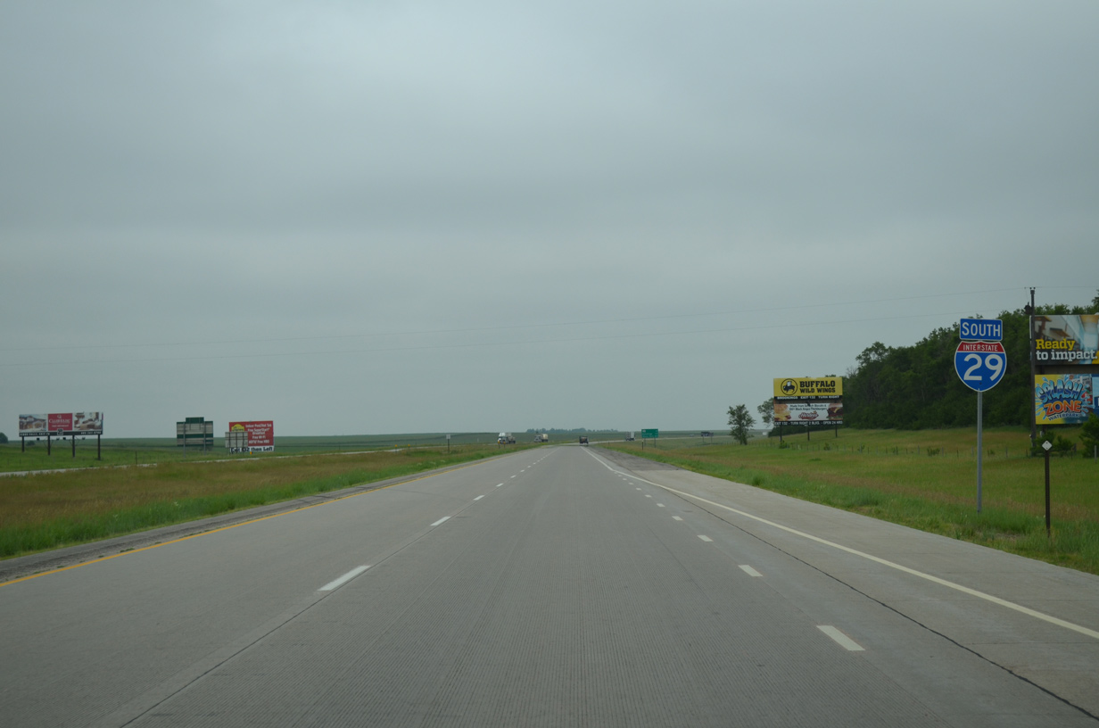
Drivers along I-29 south will reach the city of Watertown in 15 miles and Sioux Falls in 111 miles.
06/17/15

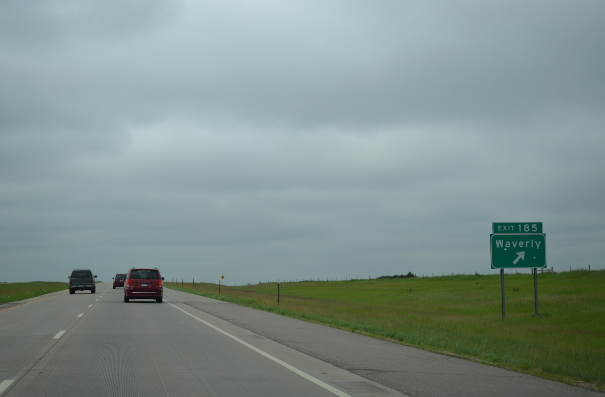
One mile north of Exit 185 with 164th Street on I-29/U.S. 81 south. 164th Street travels east to the settlement of Waverly and west to the Dakota Sioux Casino at CR 13.
06/17/15
Entering the rural diamond interchange (Exit 185) with 164th Street on Interstate 29 south.
06/17/15
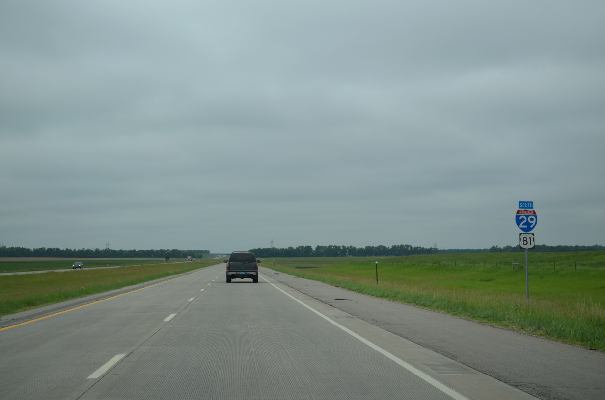
The final set of confirming markers for Interstate 29 and U.S. 81 south.
06/17/15
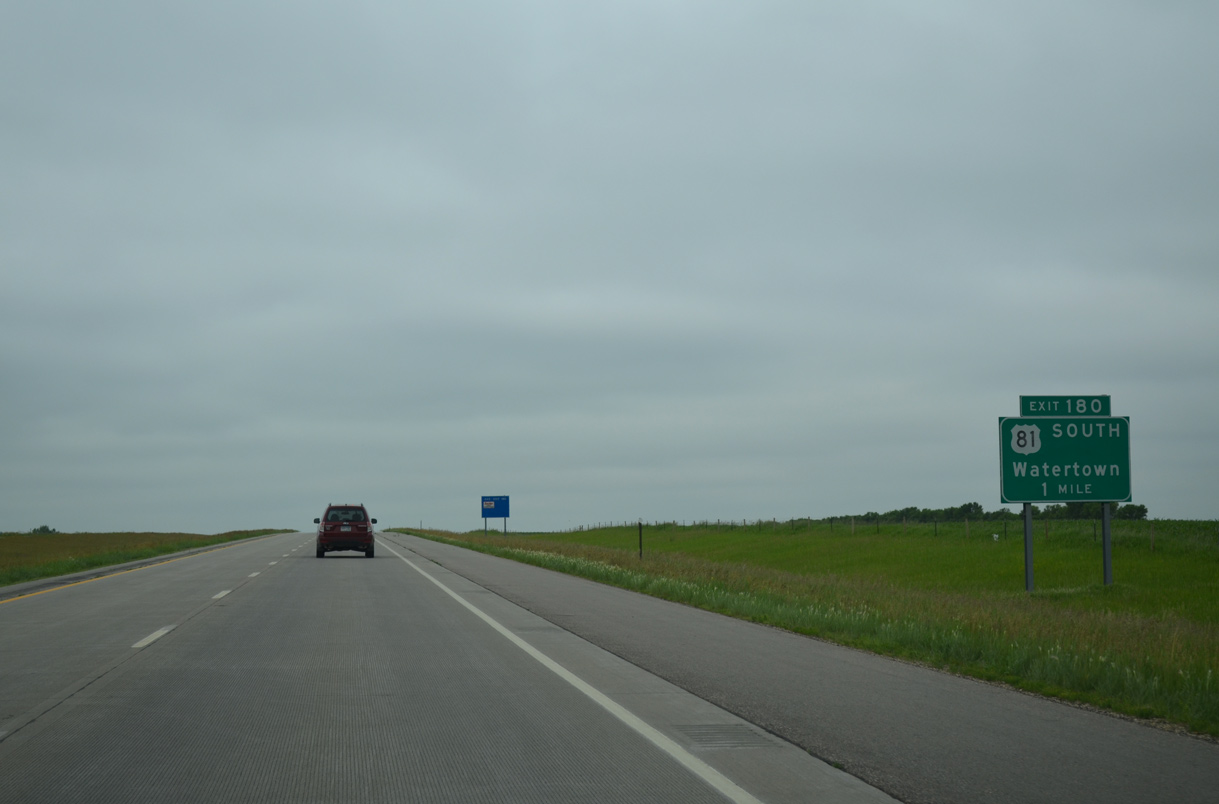
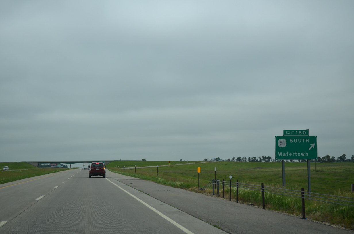
U.S. 81 branches westward from Interstate 29 one mile ahead at Exit 180. The 224 mile overlap between the two routes started in Manvel, North Dakota.
06/17/15
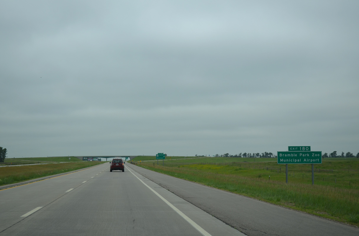
U.S. 81 follows 26th Avenue NE west to rejoin its original alignment (4th Street NE) into Watertown. Bramble Park Zoo and Watertown Regional Airport (ATY) are located off the west branch of SD 20, which angles northwest from U.S. 212 to Lake Kampeska.
06/17/15
Beyond the diamond interchange (Exit 180) with 26th Avenue NE, U.S. 81 stays west from the Interstate 29 corridor for the remainder of its route south to Fort Worth, Texas. Locally the US route connects Downtown Watertown with I-29 and U.S. 212 (9th Avenue SE).
06/17/15
South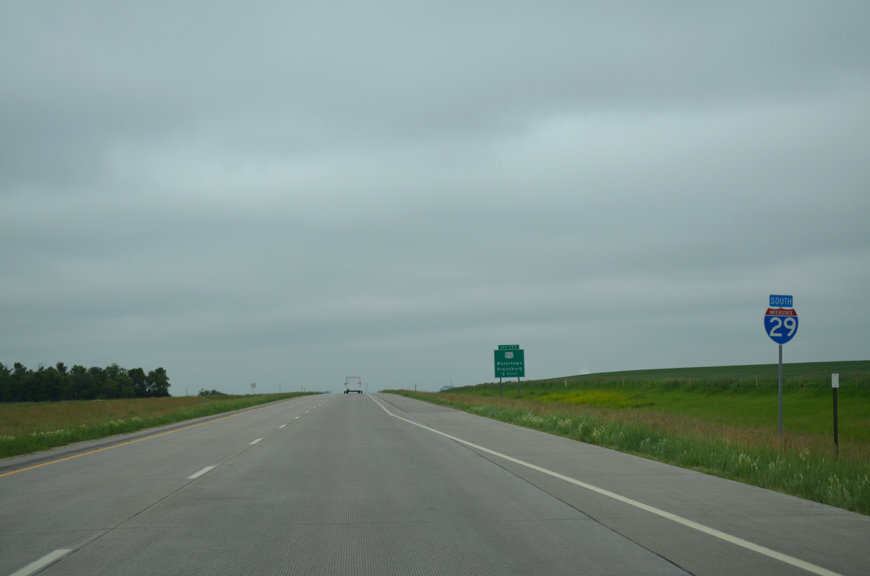
Reassurance marker for I-29 south posted ahead of Willow Creek on the rural outskirts of Watertown.
06/17/15
U.S. 212 crosses paths with Interstate 29 in two miles on the east side of Watertown.
06/17/15
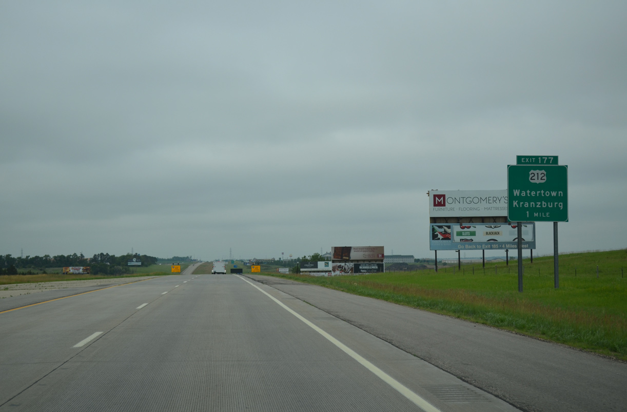
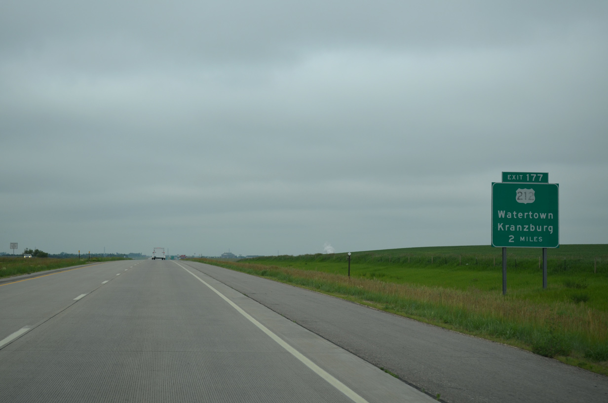
Exit 177 provides an array of traveler services for Interstate 29, as U.S. 212 (9th Avenue SE) expands into a commercial arterial west to SD 20 (10th Street SW) and Pelican Lake.
06/17/15
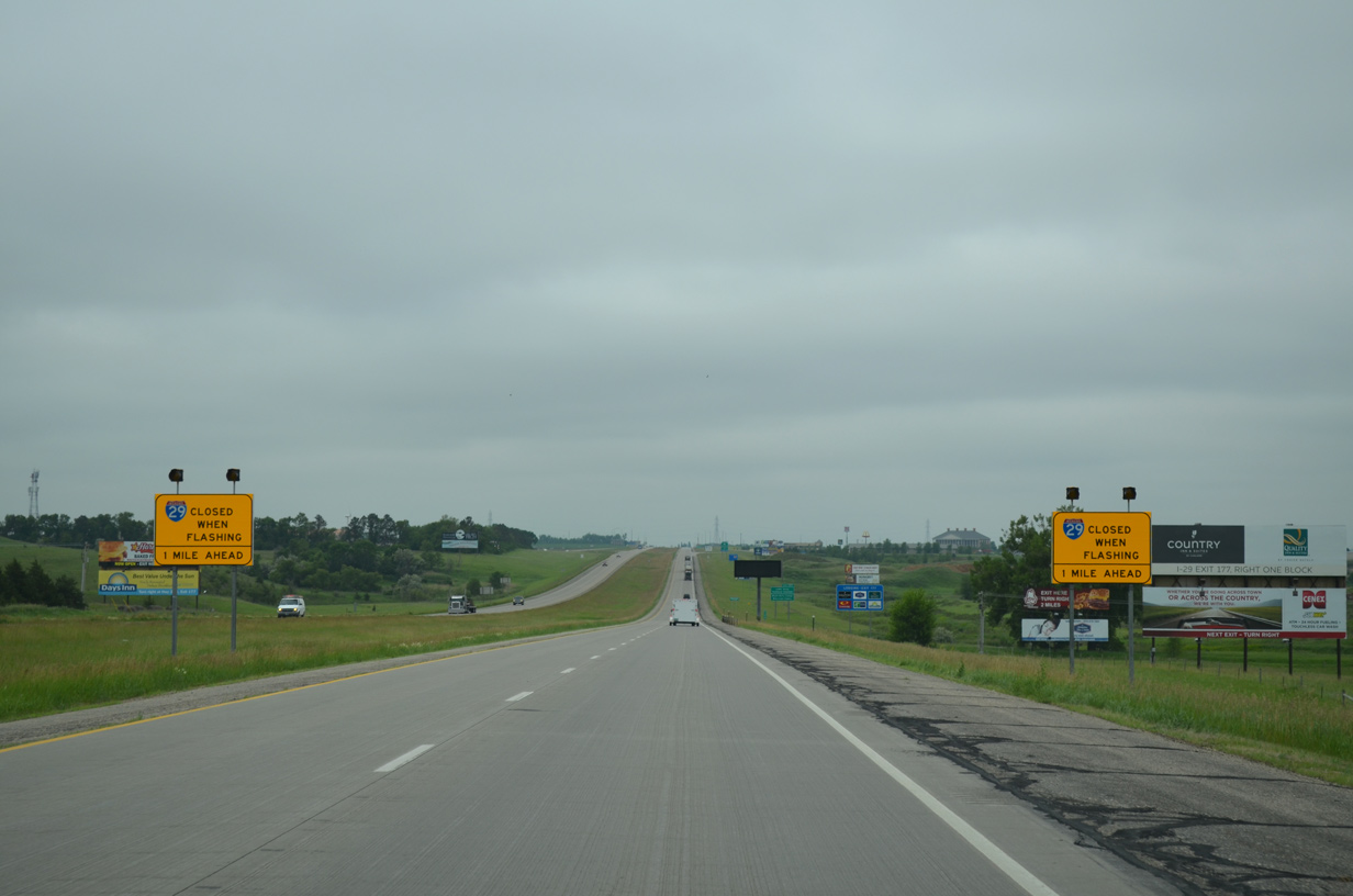
SDDOT will shut down Interstate 29 south of Watertown during periods of inclement weather. When closures are in effect, all traffic is directed to U.S. 212.
06/17/15
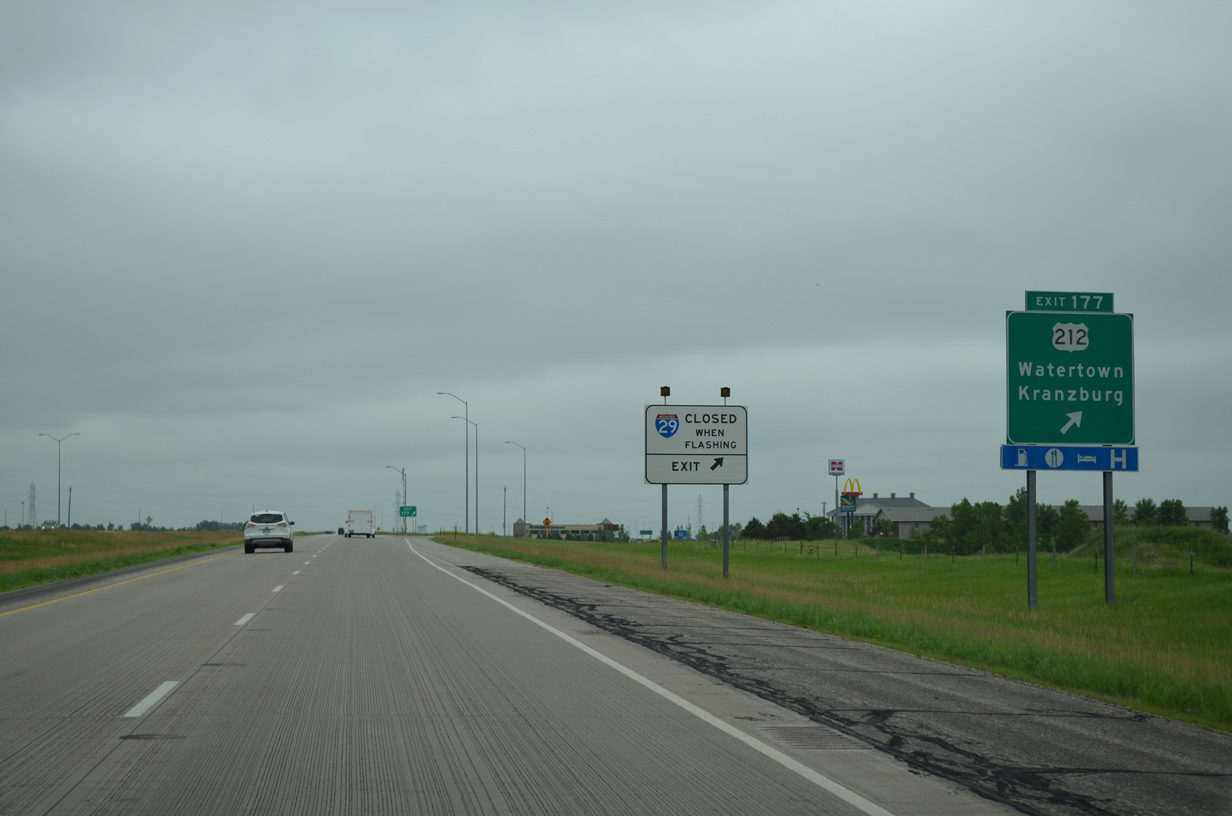
U.S. 212 travels a rural two lane route east from the diamond interchange (Exit 177) with Interstate 29 seven miles to the town of Kranzburg. U.S. 212 travels 410 miles across the state from west of Belle Fourche to Lac Qui Parle County, Minnesota, east of the split with SD 15 (old U.S. 77).
06/17/15
Drivers pass by this confirming marker for Interstate 29 south as the freeway leaves Watertown.
06/17/15
Interchanges along Interstate 29 are sparse on the 44 mile drive between Watertown and Brookings. Travelers headed to Sioux Falls are now within 100 miles of South Dakota's largest city.
06/17/15
I-29 angles southeast from Sheridan township to Havana township in Deuel County.
06/17/15
Southbound Interstate 29 cuts across the northeastern corner of Hamlin County for an 8.5 mile stretch.
06/17/15
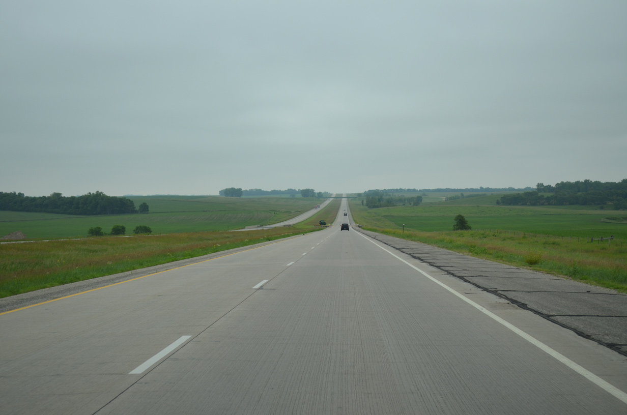
Agricultural tree lines break up the monotony of open prairie as Interstate 29 approaches the crossing of Stray Horse Creek and the County A overpass in Hamlin township.
06/17/15
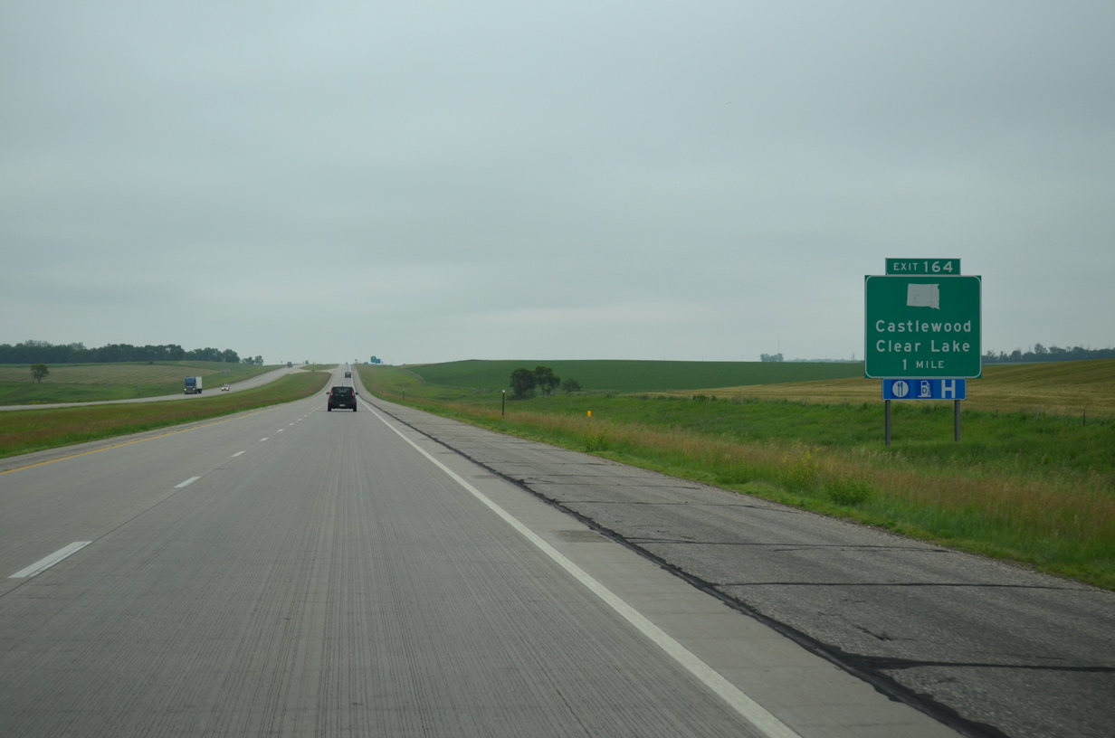
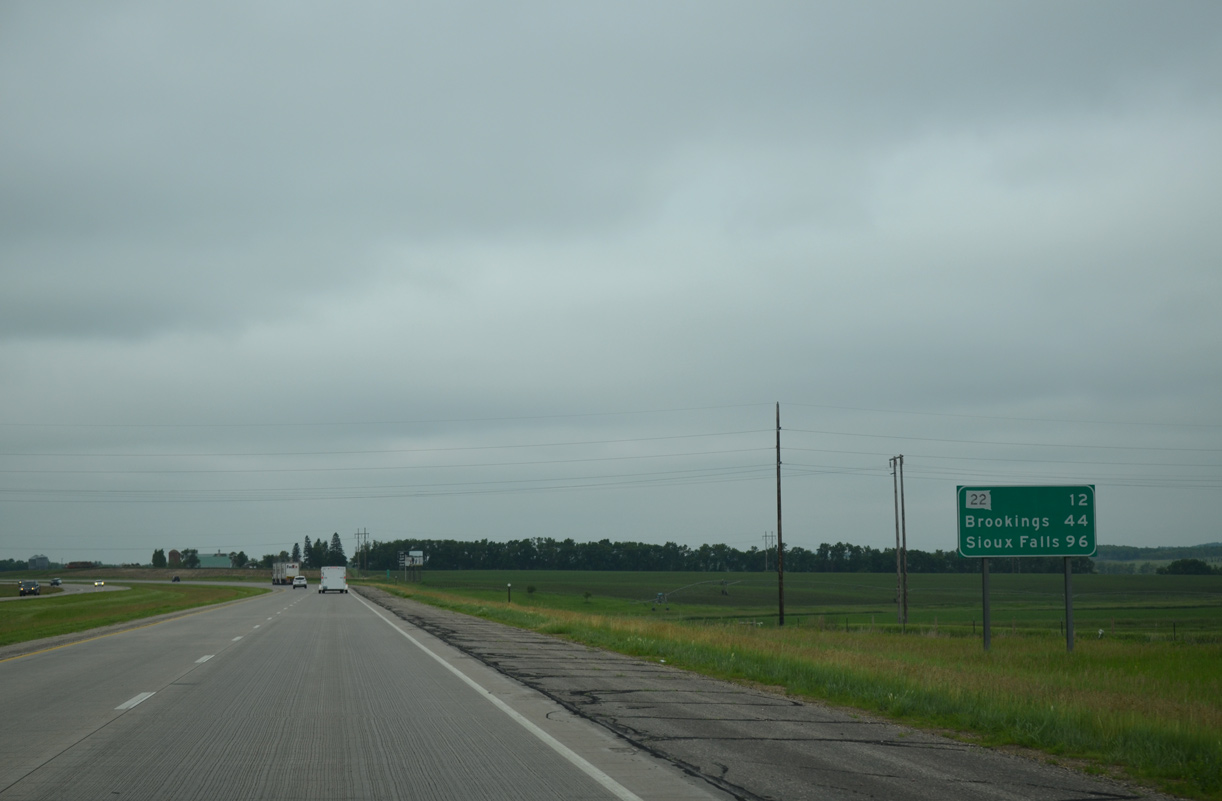
A 12 mile exit less stretch concludes in one mile at SD 22. SD 22 forms a 50.5 mile highway between Hazel in western Hamlin County and Minnesota 68, west of Canby.
06/17/15

Castlewood is an eight mile drive to the west from Exit 164 via SD 22. The city of over 600 is the hometown of U.S. Representative Kristi Noem. Noem took office in 2011.
06/17/15
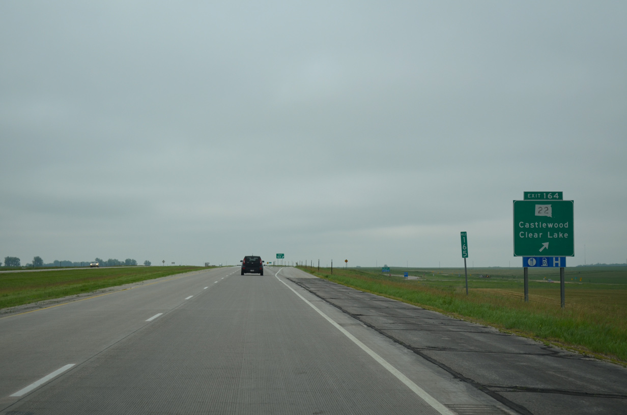
Clear Lake is the seat of adjoining Deuel County. Named after adjacent Clear Lake, the city lies ten miles to the east along SD 22. Motorists headed to the Hamlin seat of Hayti should follow SD 22 west to U.S. 81 south to SD 21.
06/17/15

The diamond interchange (Exit 164) between Interstate 29 and SD 22 straddles the Deuel County line.
06/17/15
Interstate 29 turns more southward a short distance beyond the county line. Traffic counts begin to increase as the freeway progresses southward, with 7,410 vpd recorded on this stretch in 2015.
06/17/15
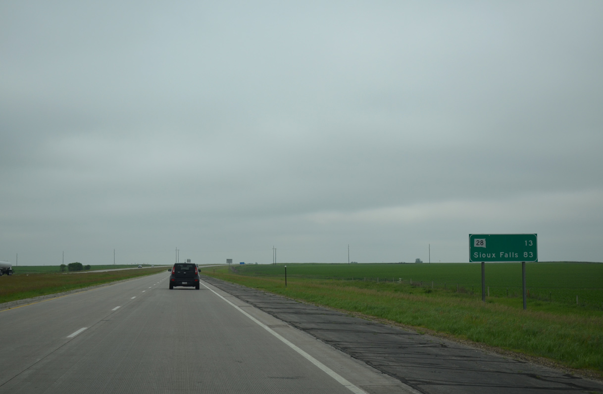
SD 28 crosses paths with Interstate 29 at the second Deuel County interchange in 13 miles. Sioux Falls lies 70 miles further south in Minnehaha County.
06/17/15
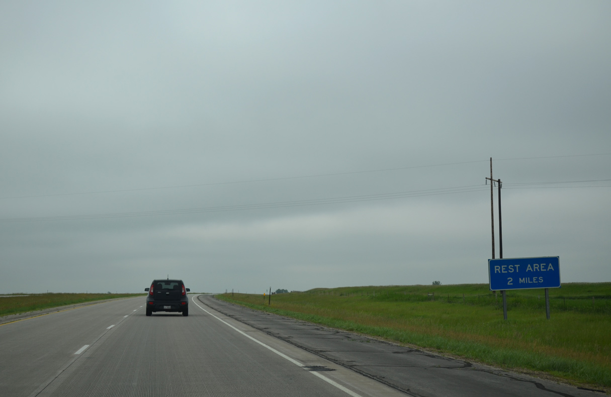
The third South Dakota rest area for Interstate 29 south follows in two miles within Hidewood township.
06/17/15
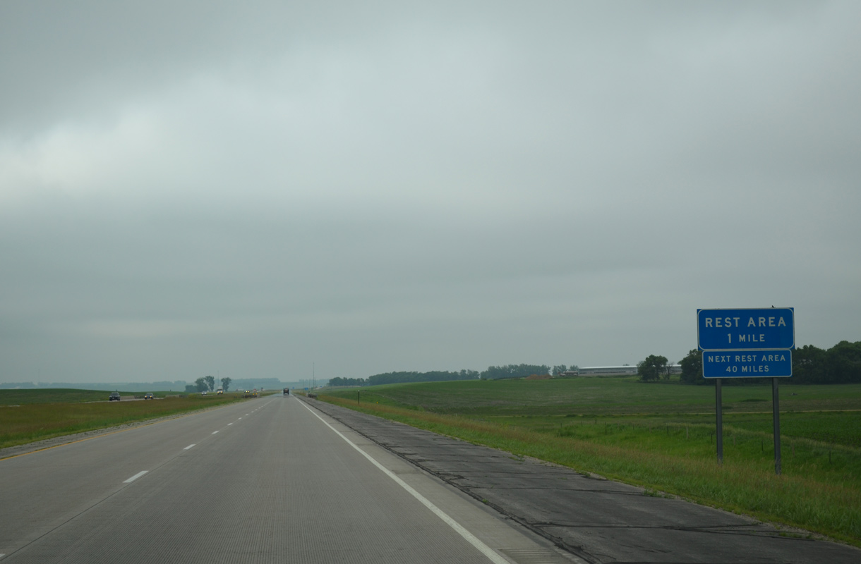
Two rest areas remain along the ensuing 160 miles of I-29 south to the Iowa state line.
06/17/15
Rest areas operate in both directions of Interstate 29 near milepost 160.
06/17/15
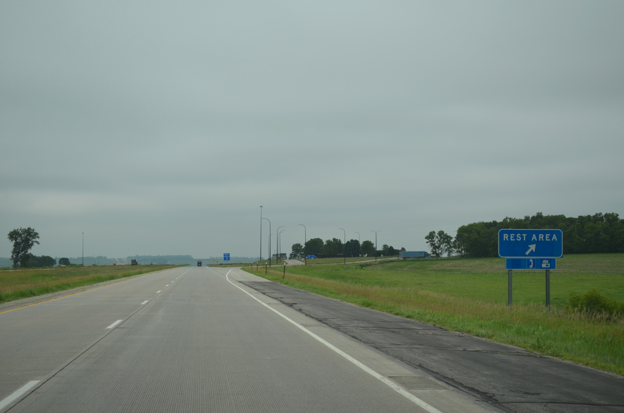
Beyond the rest area, Interstate 29 traverses a broad valley across Hidewood Creek. The freeway drops from nearly 1,900 to 1,720 feet in elevation.
06/17/15
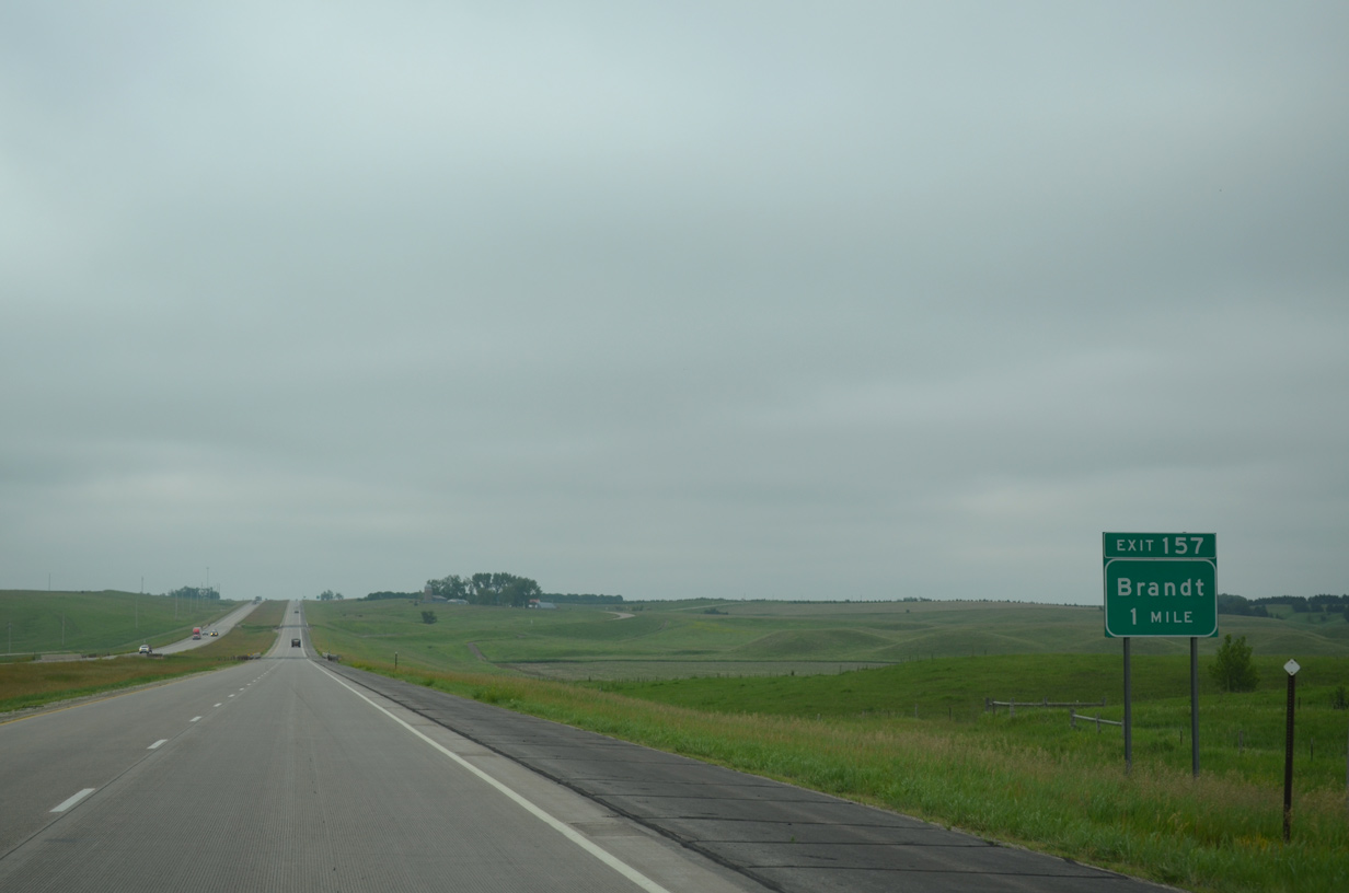
Advancing southeast from Hidewood Creek, motorists on I-29 south next reach the rural diamond interchange (Exit 157) with 188th Street.
06/17/15
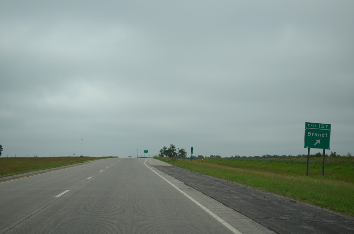
188th Street leads east from Exit 157, nine miles to the town of Brandt.
06/17/15
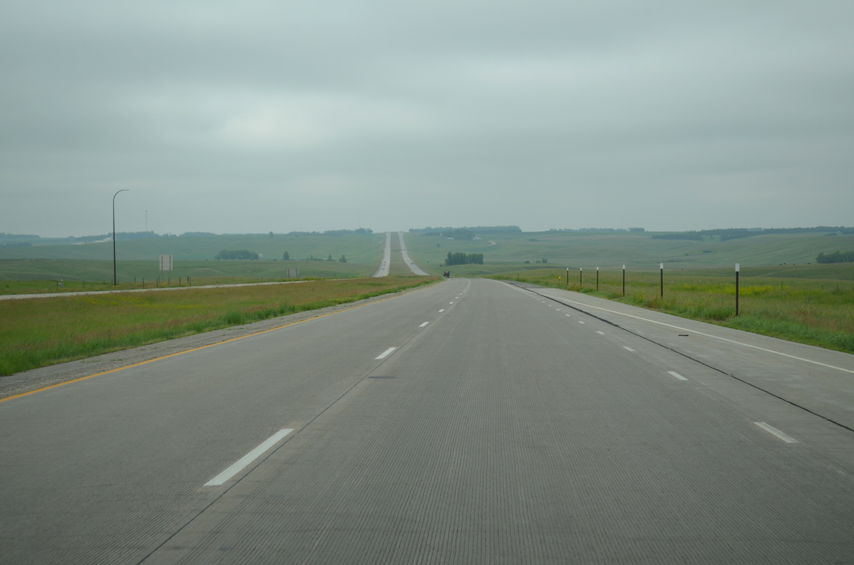
Interstate 29 plies across open prairie land from Exit 157 southeast to Bullhead Run and Grange township.
06/17/15
The makes a wide S-curve east of the 471st Avenue underpass and past milepost 154 before turning southward to Brookings.
06/17/15
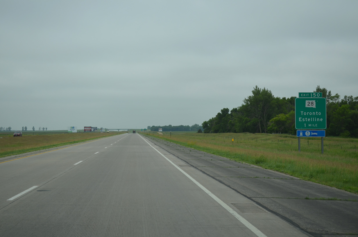
Upcoming Exit 150 connects Interstate 29 with the Hamlin city of Estelline six miles to the west and the town of Toronto six miles to the east.
06/17/15
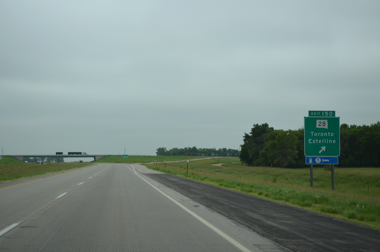
A 107 mile route from MN 271 west to U.S. 281 near Bonilla, SD 28 sees a diamond interchange (Exit 150) with I-29. The state highway represents a portion of old U.S. 77, from 471st Avenue to the south end of SD 15. SD 15 replaced the US route north to Milbank.
06/17/15
This confirming marker for Interstate 29 south precedes the crossing of North Deer Creek.
06/17/15
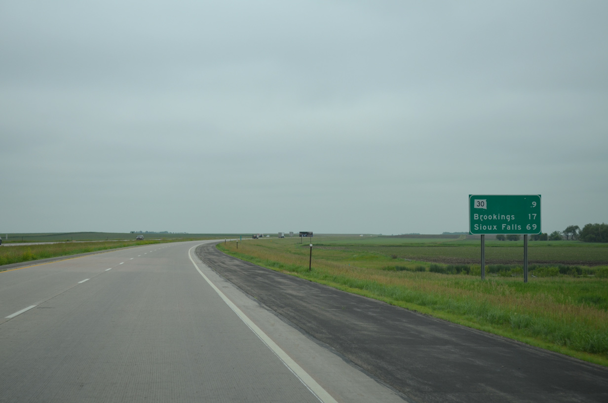
Brookings is just 17 miles away while Sioux Falls is now 69 miles to the south.
06/17/15
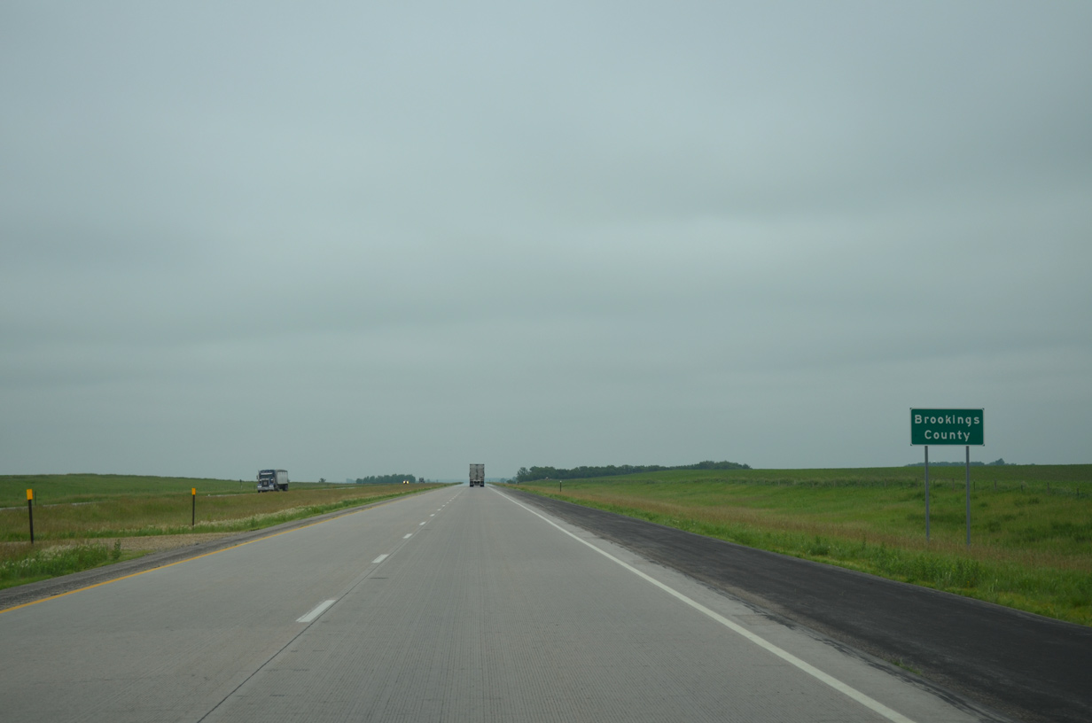
Interstate 29 bisects Brookings County on a 24.1 mile course from near Johnsonville to near Medary.
06/17/15
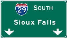

Photo Credits:
- ABRoads: 06/17/15
Page Updated Thursday July 21, 2016.