
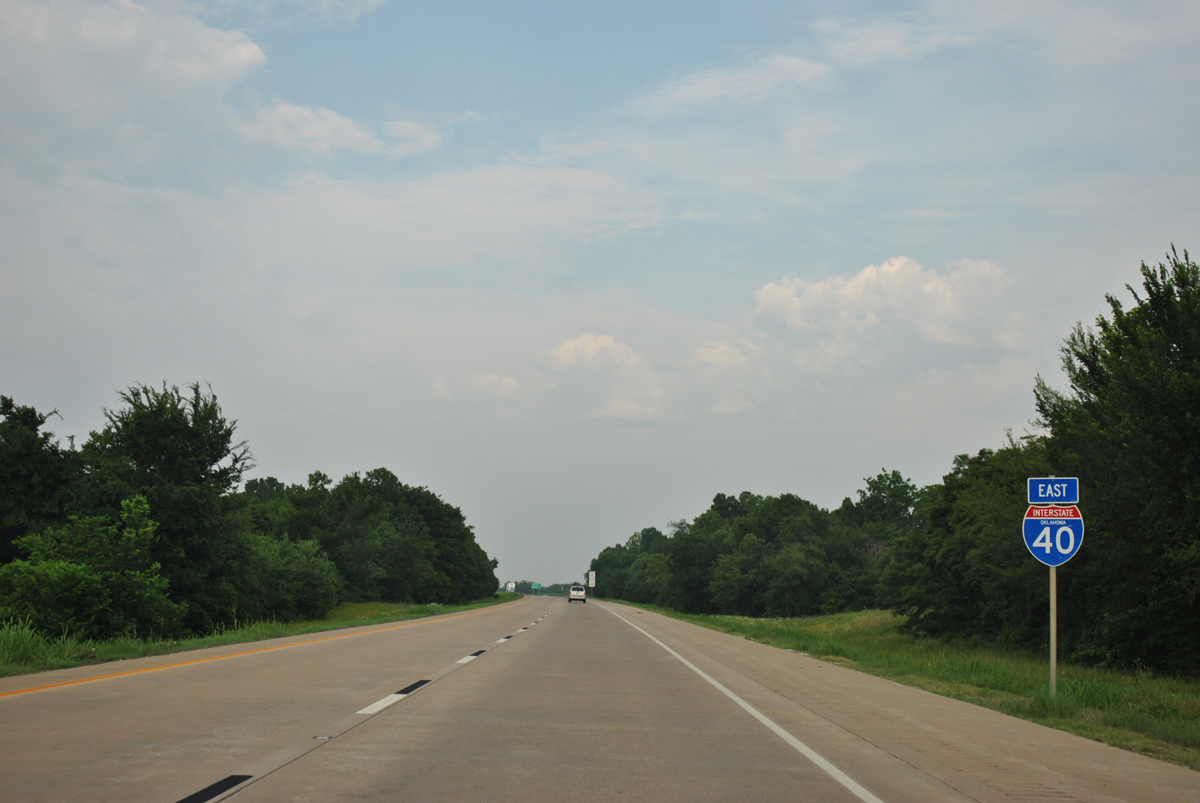
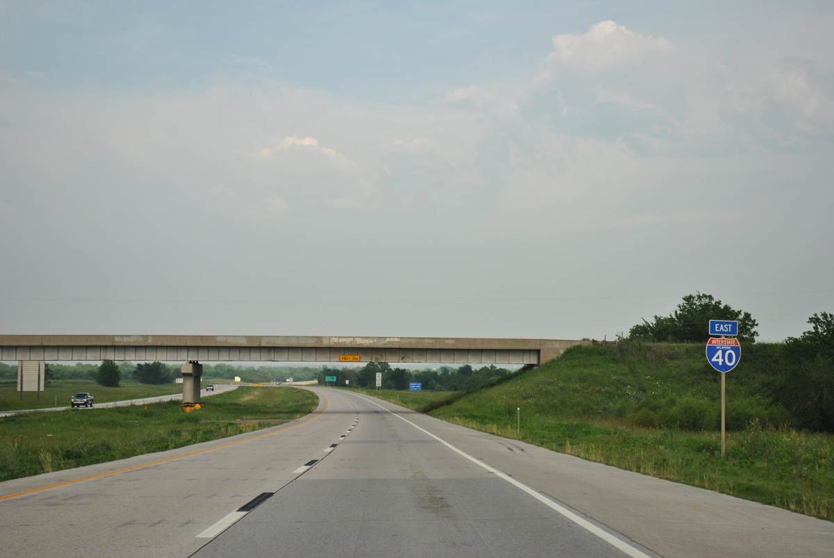
Interstate 40 East - Henryetta to Checotah
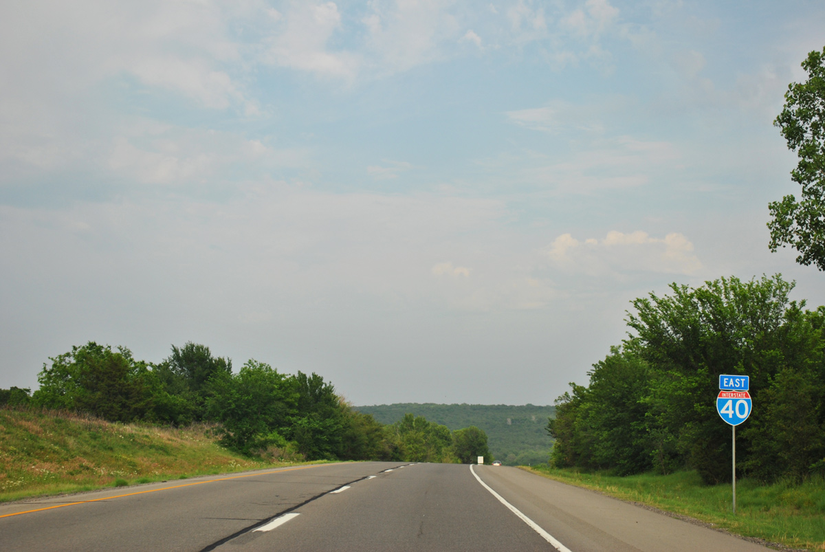
 East
East  North
North
U.S. 75 accompanies IH 40/U.S. 62 east 8.6 miles to Exit 240 B in Henryetta.
05/06/12
05/06/12
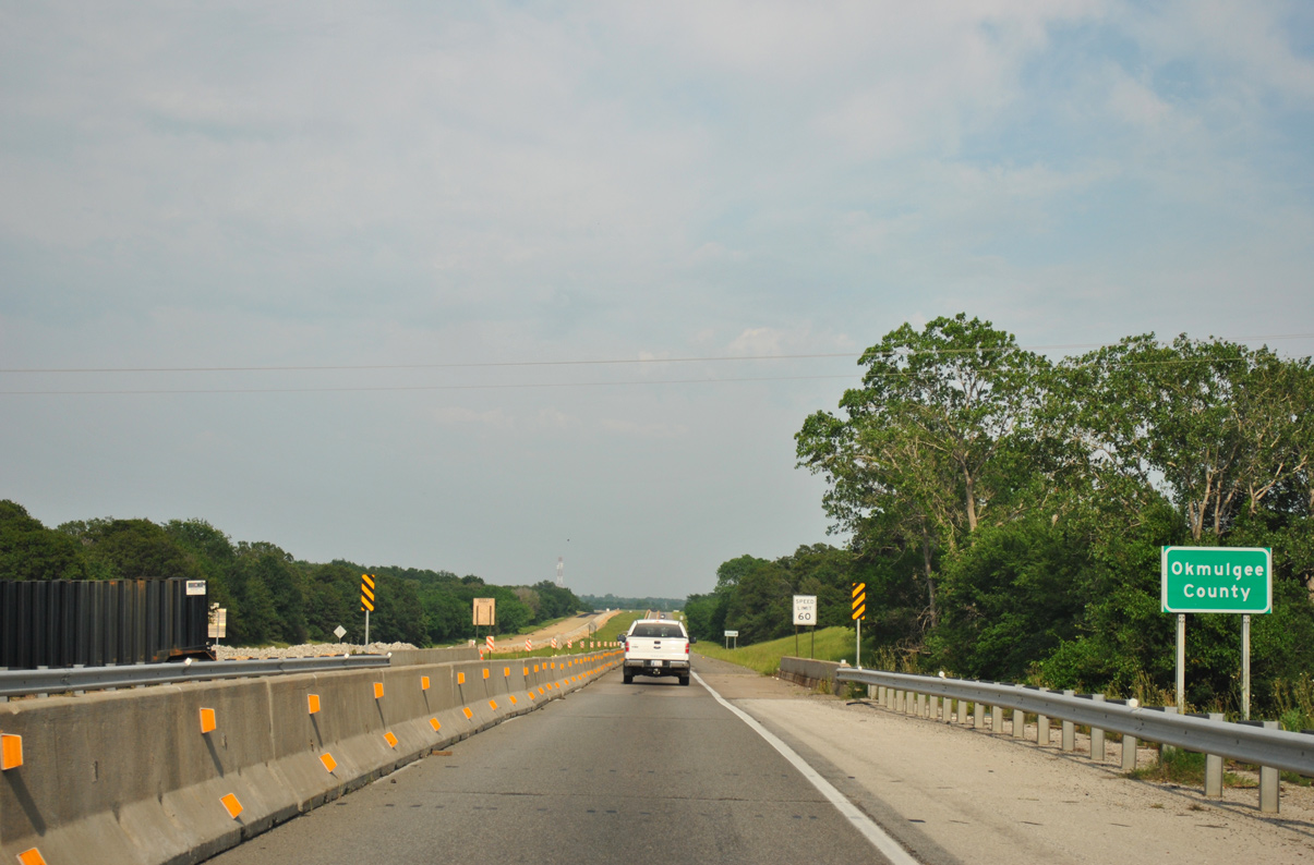
IH 40/U.S. 62-75 span N 3890 Road / S 160 Road at the Okmulgee County line.
05/06/12
05/06/12
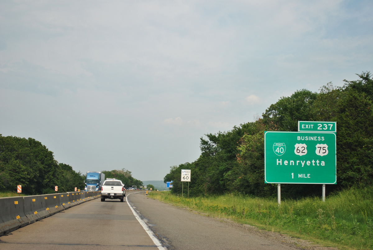
The first of two exits for the city of Henryetta from Interstate 40 is Business Loop I-40/U.S. 62-75 Business.
05/06/12
05/06/12
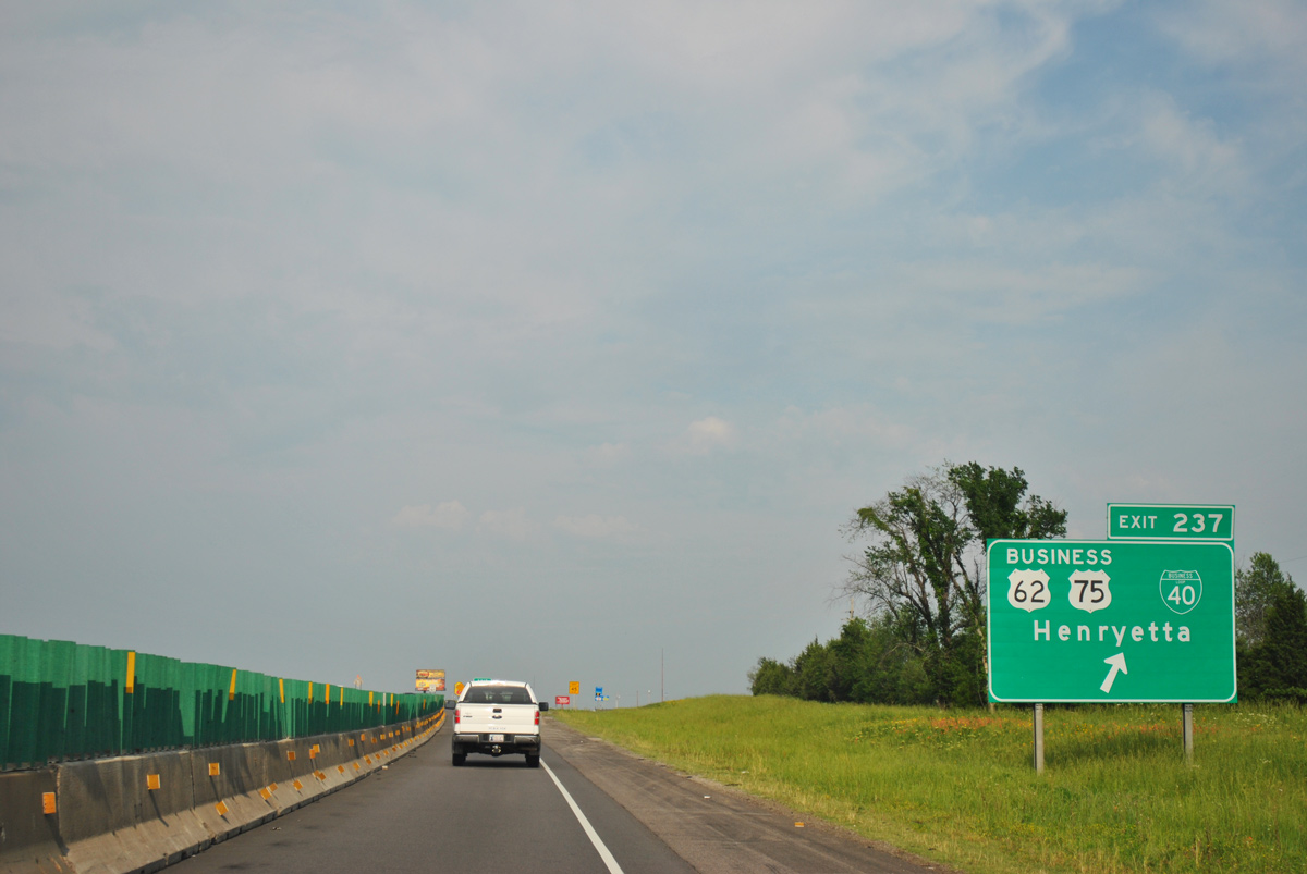
The three business routes overlap east 2.91 miles from the diamond interchange (Exit 237) with N 3930 Road to U.S. 62/75 east of Downtown Henryetta.
05/06/12
05/06/12

Continuing across the south side of Henryetta, IH 40/U.S. 62-75 advance east to a cloverleaf interchange (Exit 240) with the north end of the Indian Nation Turnpike (SH 375).
05/06/12
05/06/12

U.S. 62/75 split with Interstate 40 east for an arterial bypass of Henryetta north to the town of Dewar.
05/06/12
05/06/12
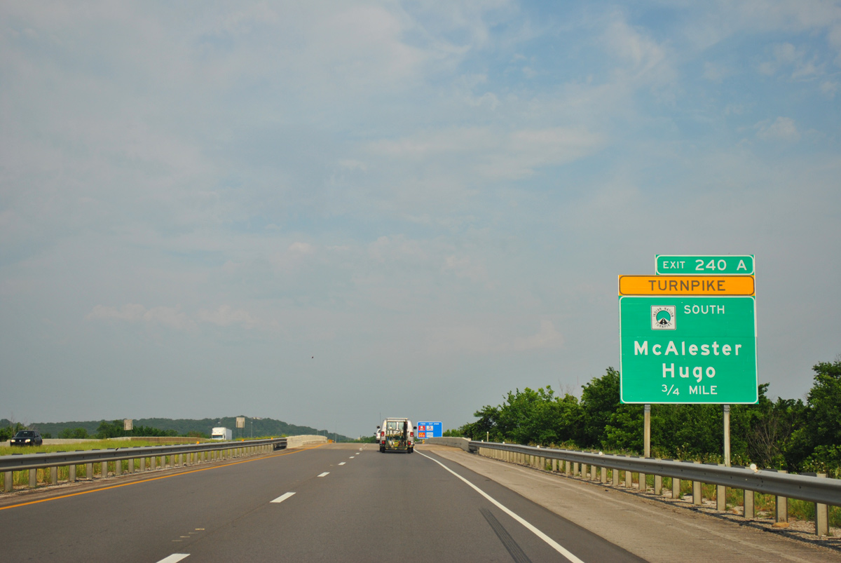
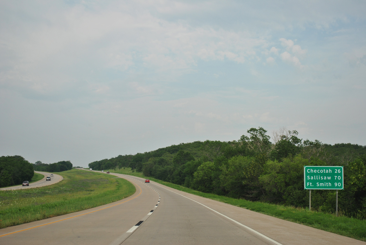
The Indian Nation Turnpike (SH 375) travels 105 miles south from Interstate 40 at Henryetta to U.S. 70/271 at the city of Hugo.
05/06/12
05/06/12
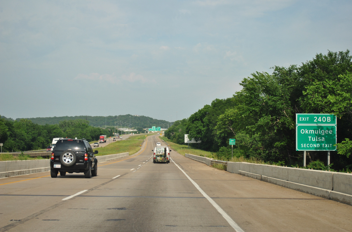
U.S. 62 travels northeast from Henryetta to Muskogee. U.S. 75 continues north to Tulsa.
05/06/12
05/06/12
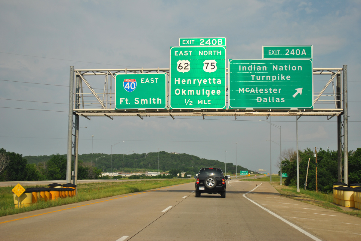
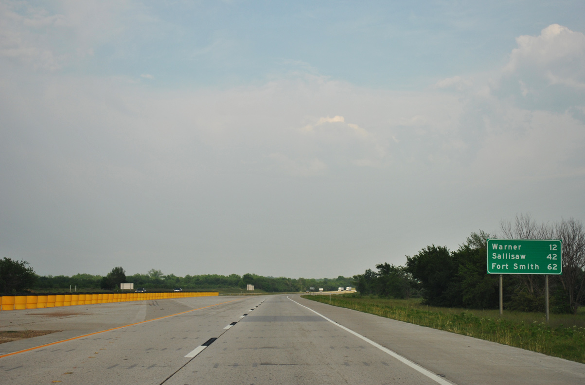
The Indian Nation Turnpike connects with U.S. 270 and U.S. 69 west of McAlester. U.S. 69 angles southwest from the toll road to combine with U.S. 75 from Atoka to Denison, Texas.
05/06/12
05/06/12
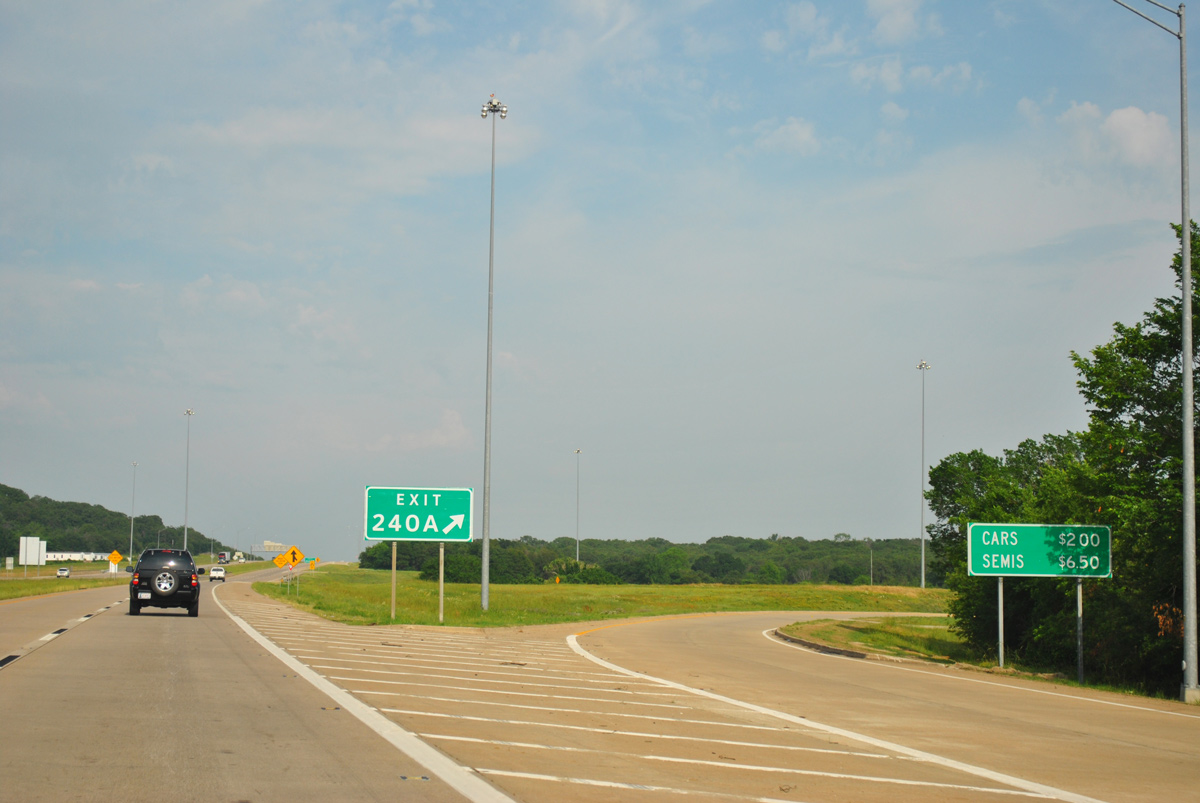
Operated by the Oklahoma Turnpike Authority (OTA), the Indian National Turnpike opened south from Exit 240 A on January 1, 1966.1
05/06/12
05/06/12
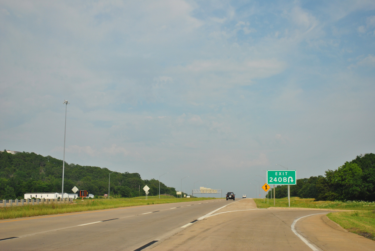
There has been no guide sign at the loop ramp (Exit 240 B) for U.S. 62/75 north since at least 2008.
05/06/12
05/06/12
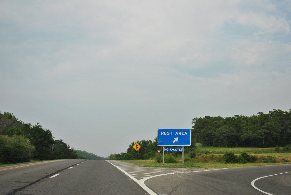
Interstate 40 navigates through an S-curve north of Lake Henryetta.
05/06/12
05/06/12
05/06/12
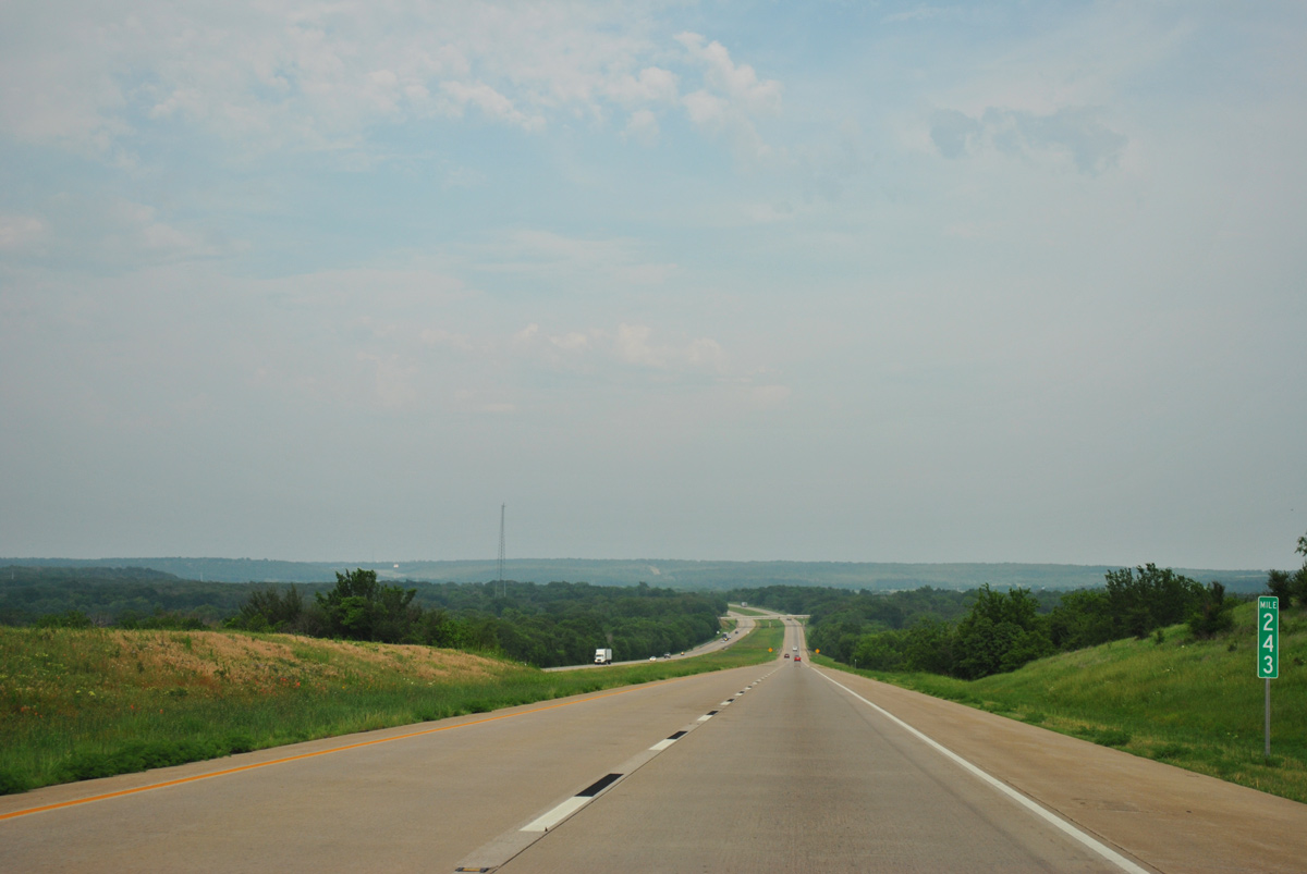
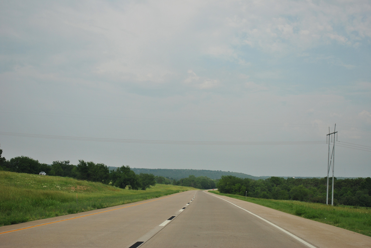
Interstate 40 proceeds east from mile marker 243 across Wolf Creek to the Arbeka Road overpass.
05/06/12
05/06/12
05/06/12
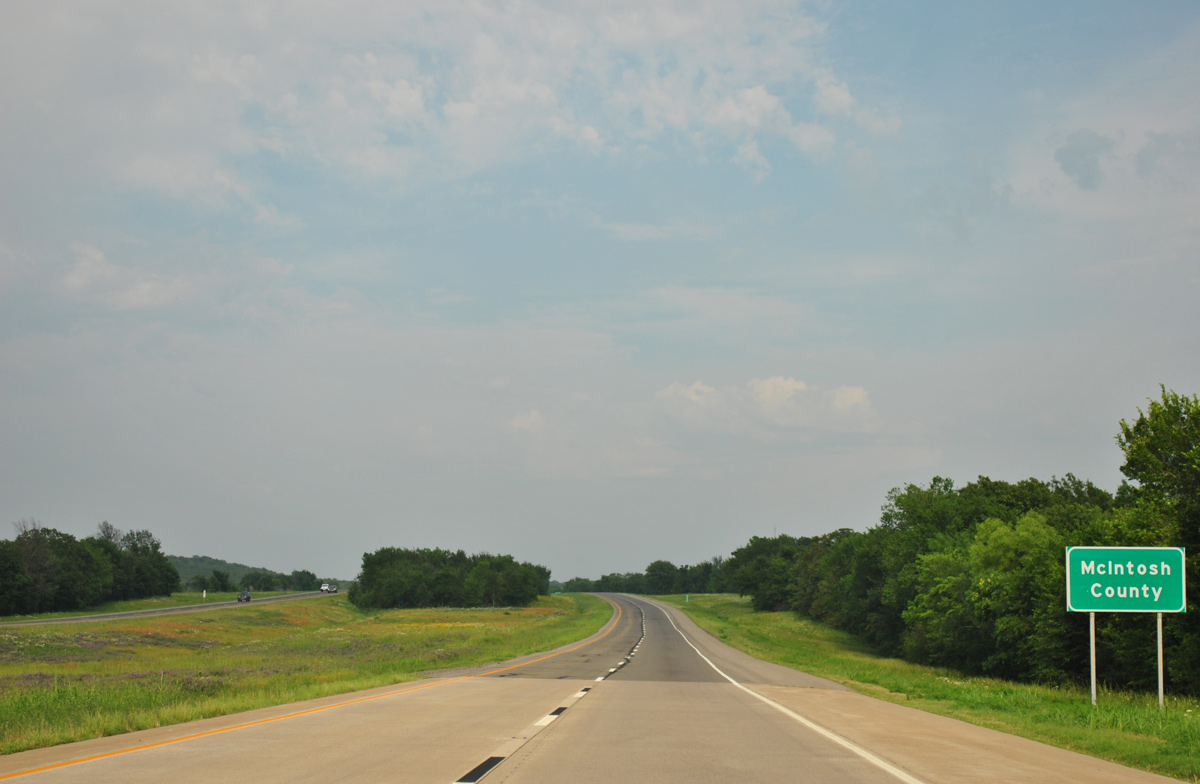
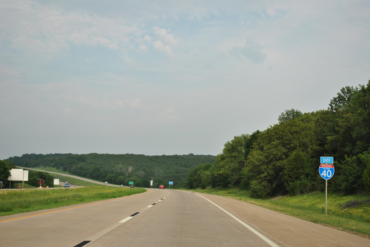
Interstate 40 east enters McIntosh County by Clear Creek.
05/06/12
05/06/12
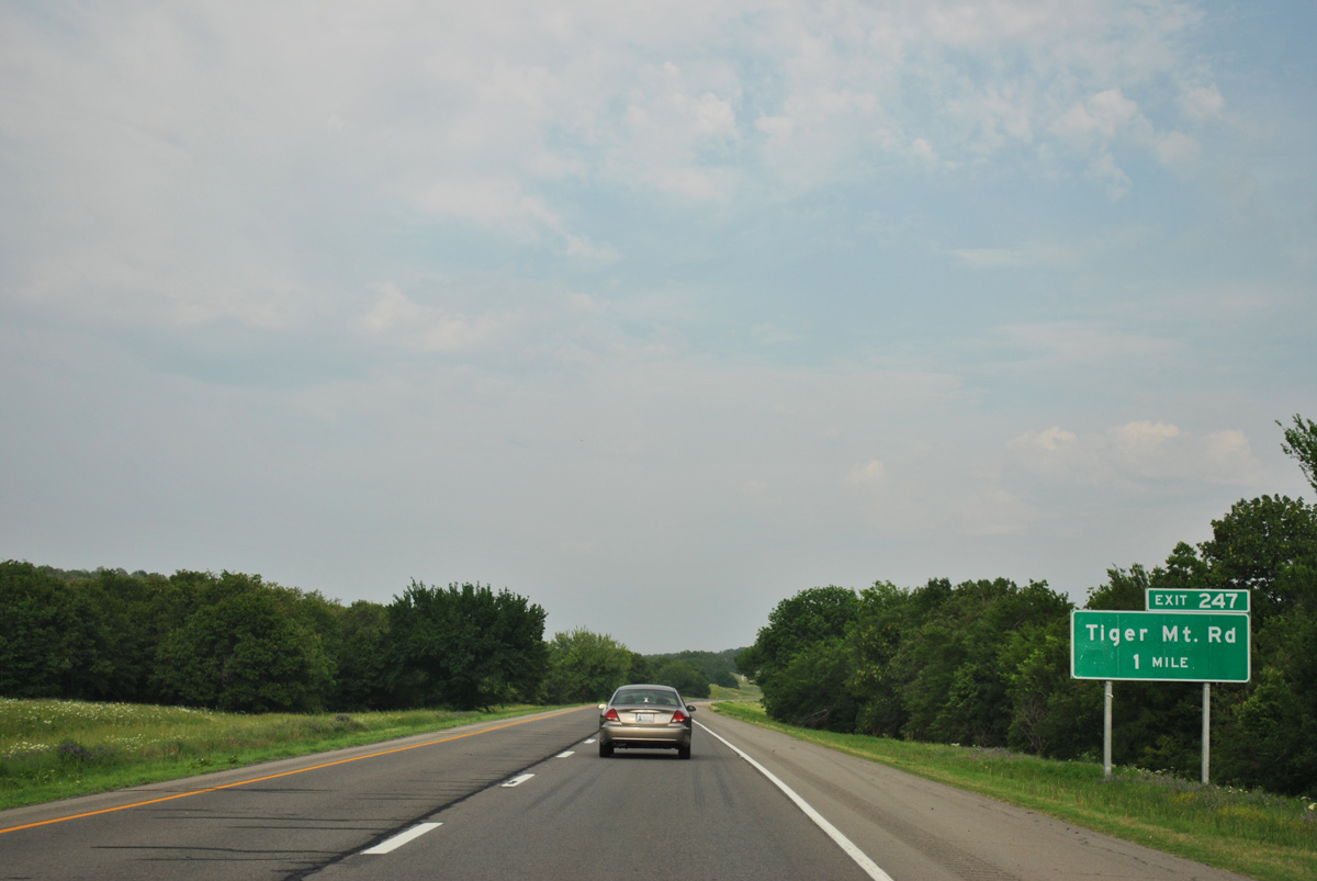
Interstate 40 rises to 870 feet above sea level just beyond the forthcoming diamond interchange (Exit 247) with Tiger Mountain Road.
05/06/12
05/06/12
05/06/12
05/06/12
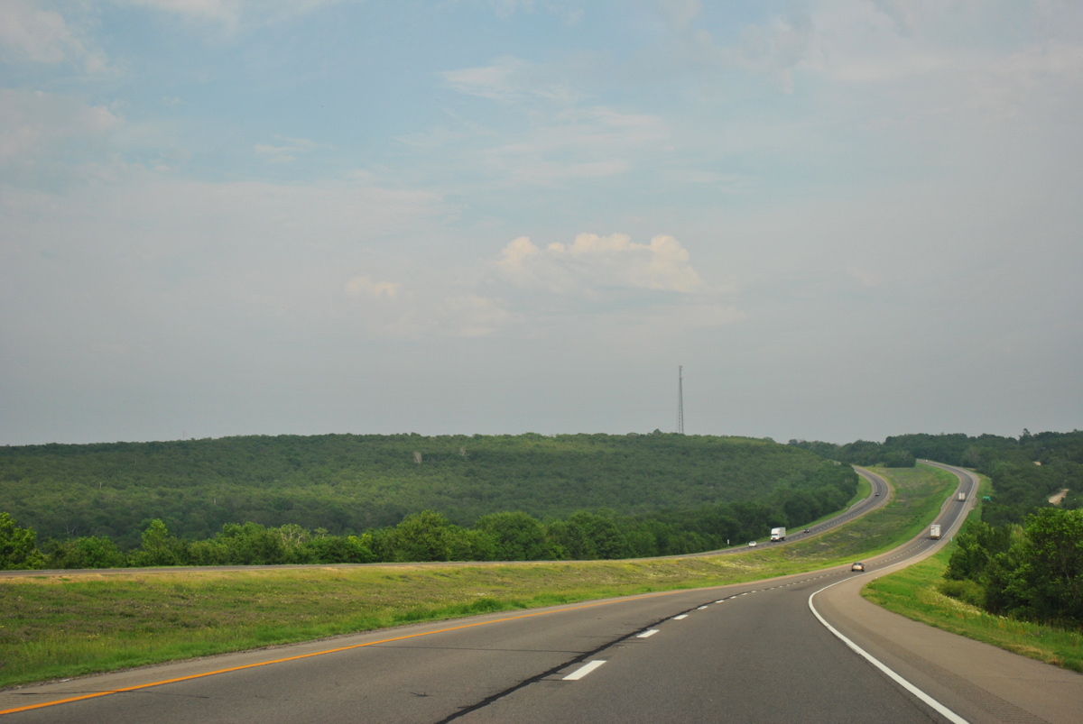
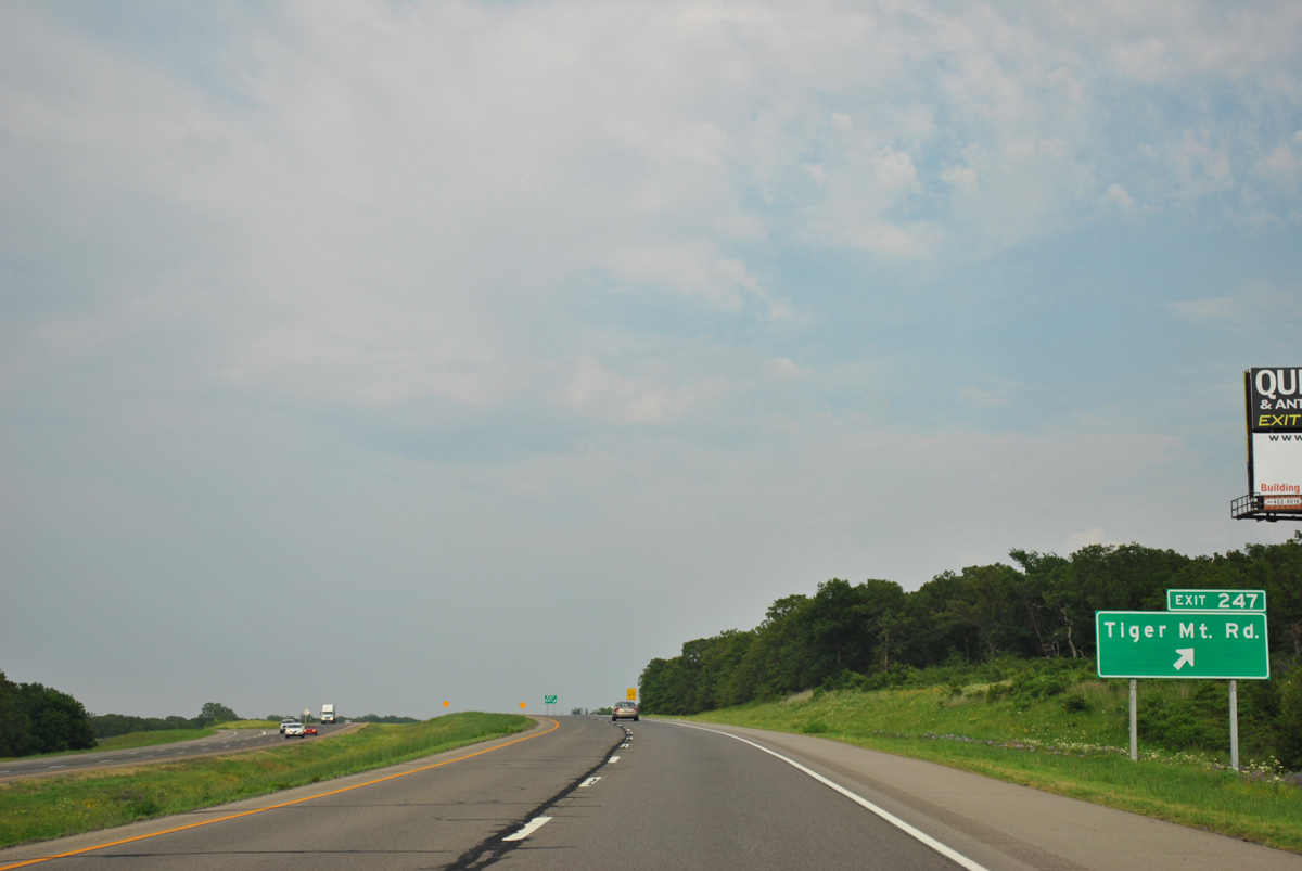
Interstate 40 continues east across Tiger Mountain.
05/06/12
05/06/12
05/06/12
Parking areas line both sides of Interstate 40 on Tiger Mountain.
05/06/12
05/06/12
05/06/12

05/06/12
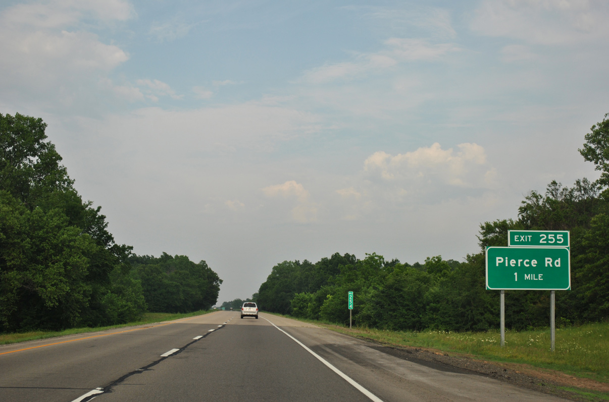
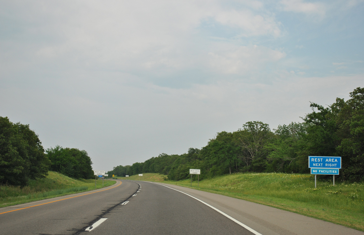
Interstate 40 crosses Snake Creek south of Eufaula Lake ahead of the diamond interchange (Exit 255) with Pierce Road.
05/06/12
05/06/12

05/06/12
05/06/12

05/06/12
05/06/12
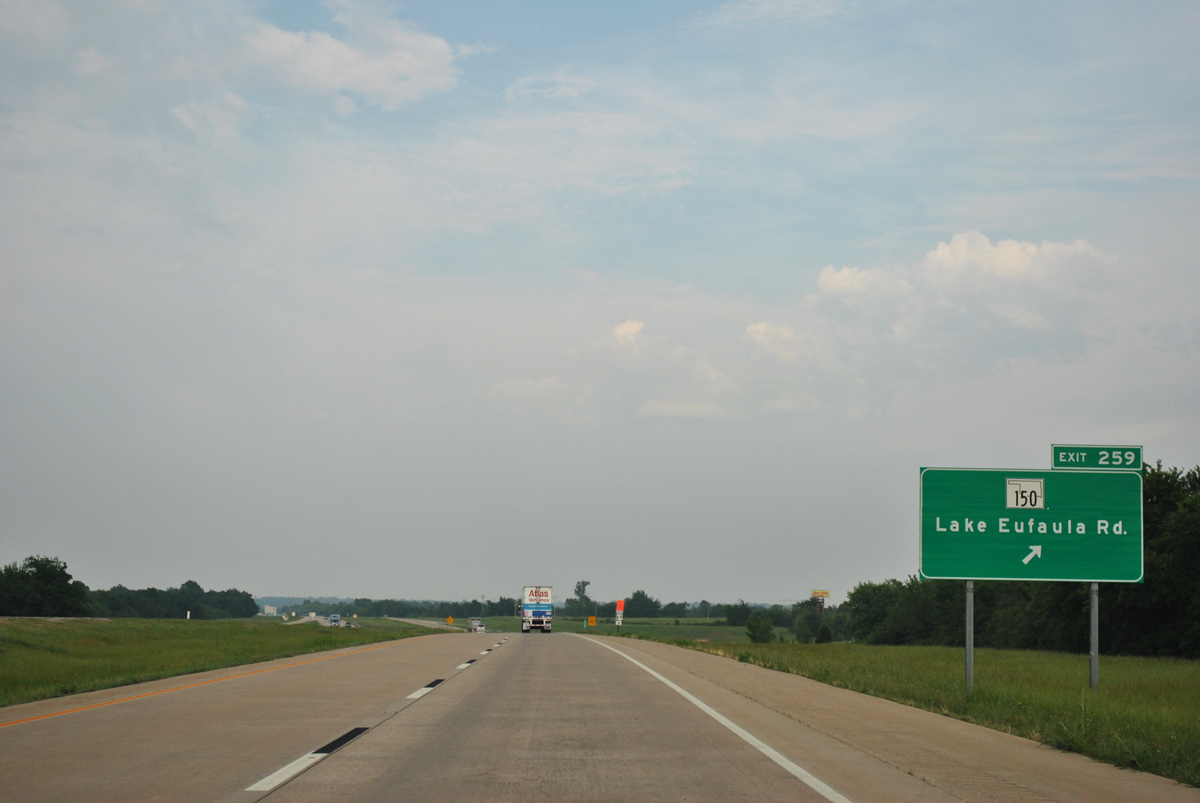
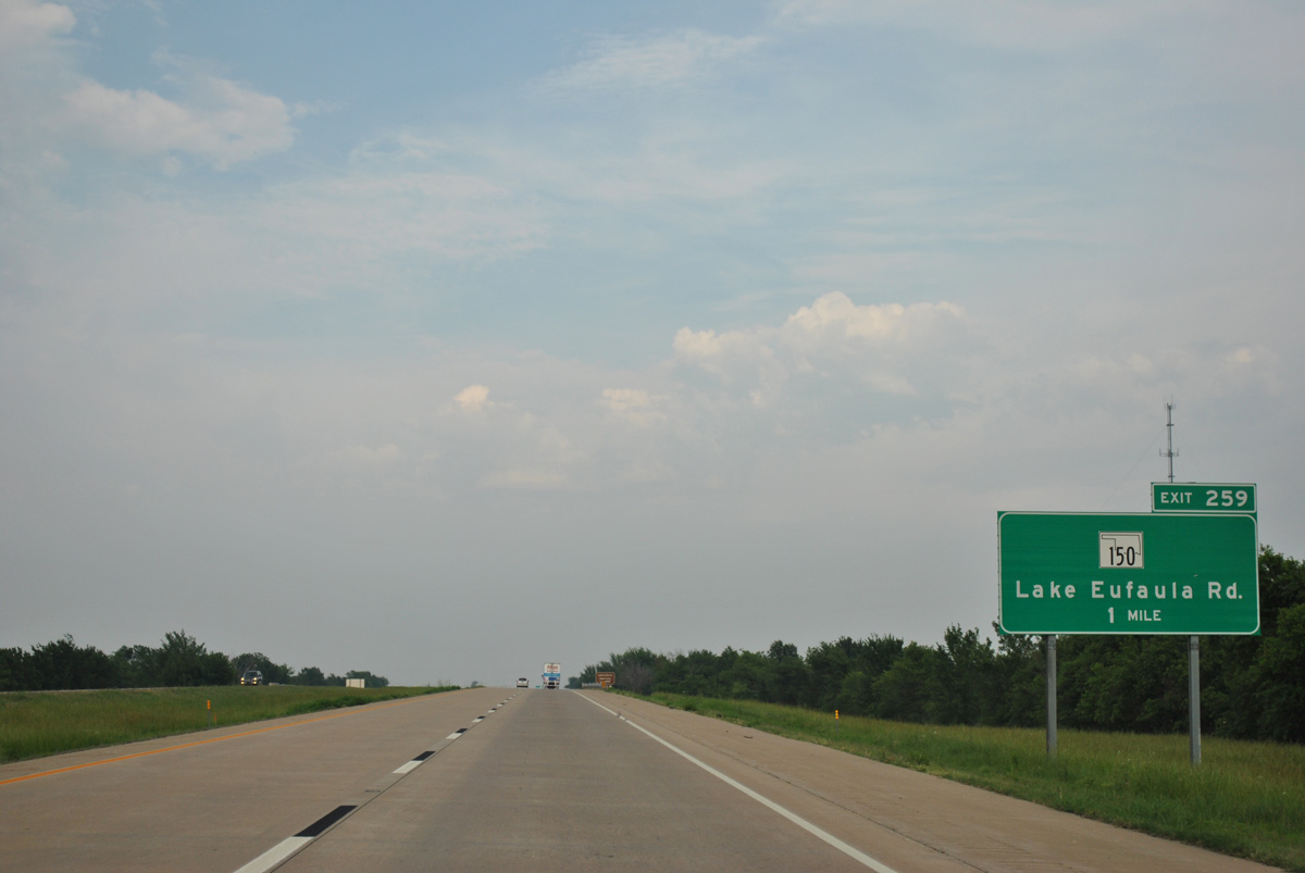
SH 150 constitutes an 8.81 mile long route south from Exit 259 to Brush Hill and the freeway along U.S. 69 north of Eufaula.
05/06/12
05/06/12
05/06/12
05/06/12
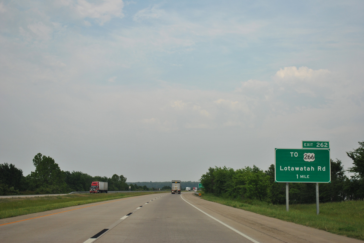
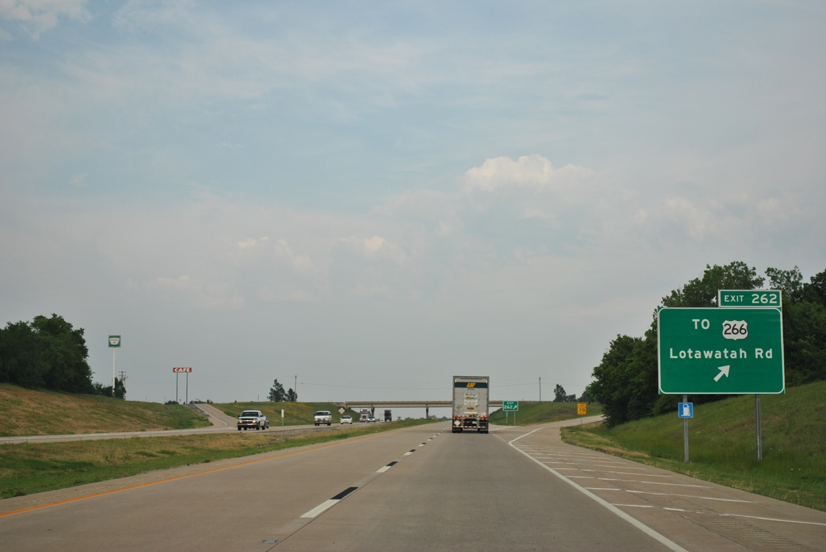
Lotawatah Road links Interstate 40 at Exit 262 with parallel U.S. 266, 1.4 miles to the north.
05/06/12
05/06/12
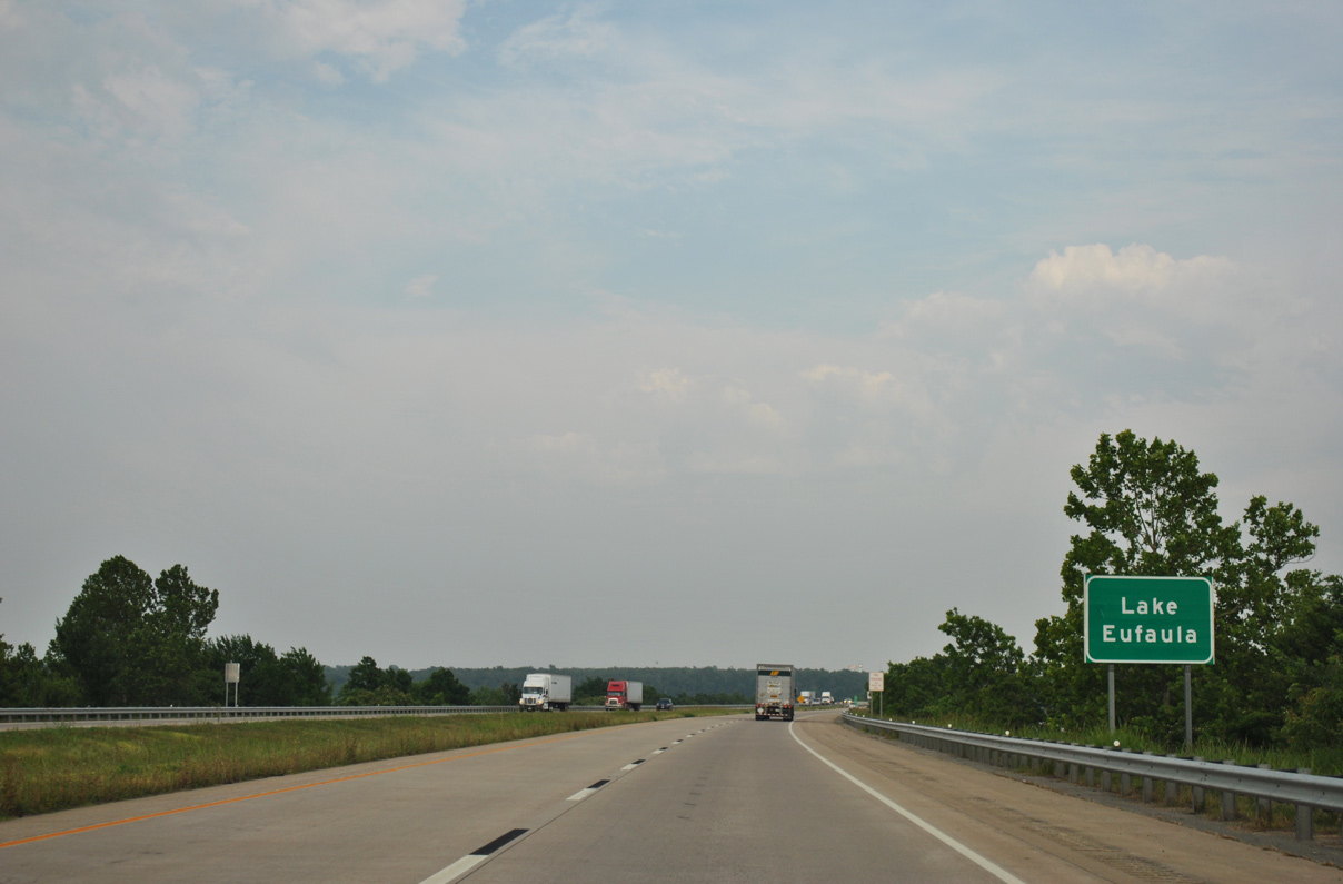
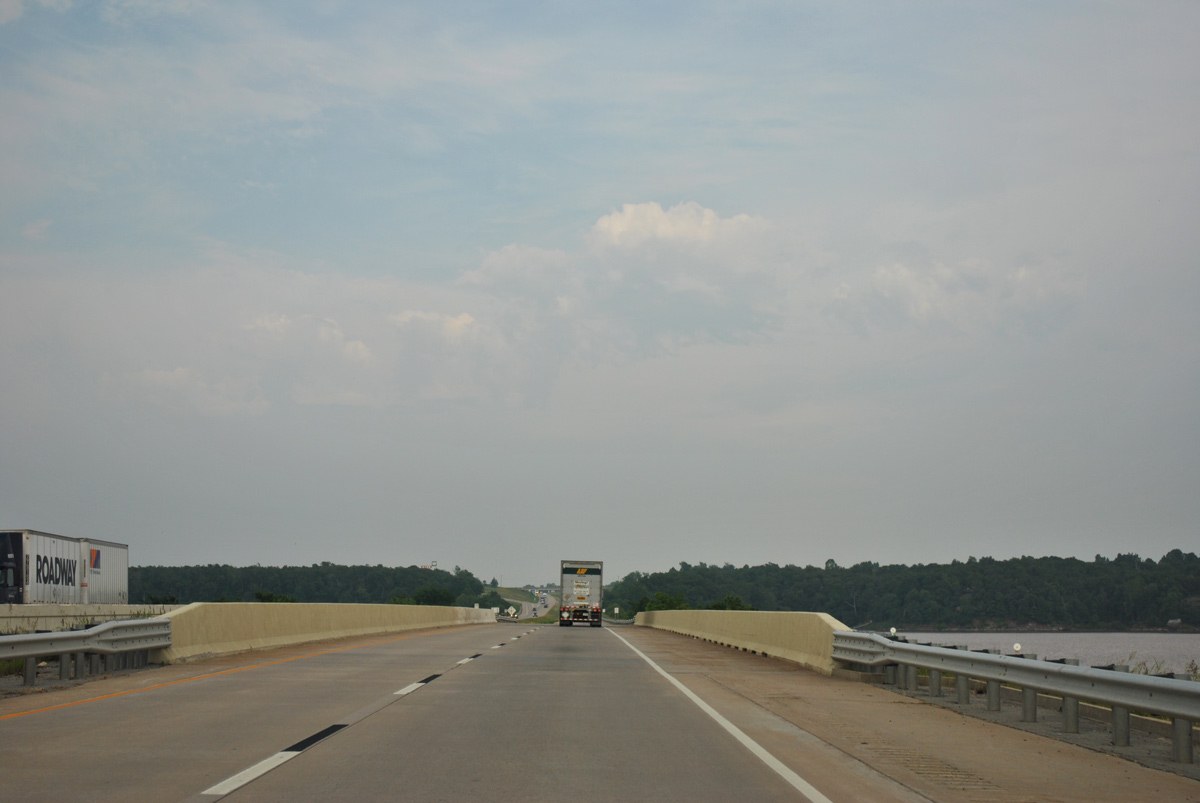
Interstate 40 traverses Lake Eufaula / Deep Fork river across a causeway.
05/06/12
05/06/12
05/06/12
05/06/12
05/06/12
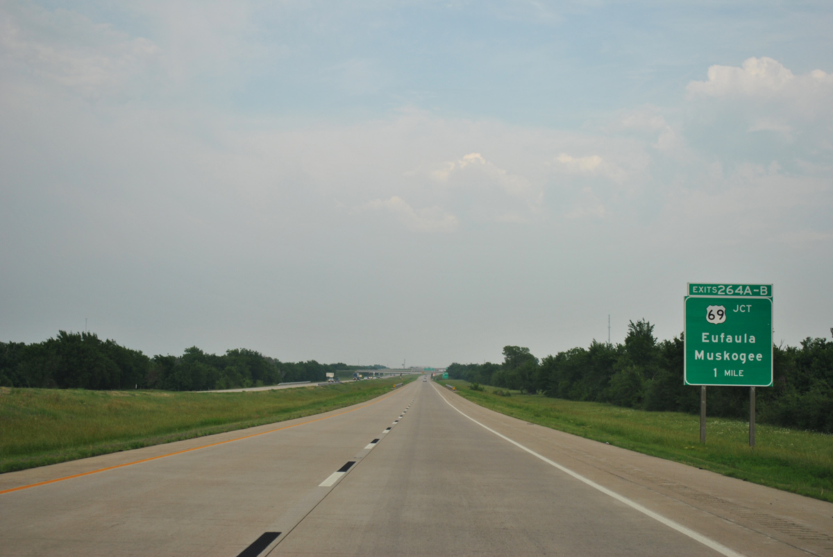
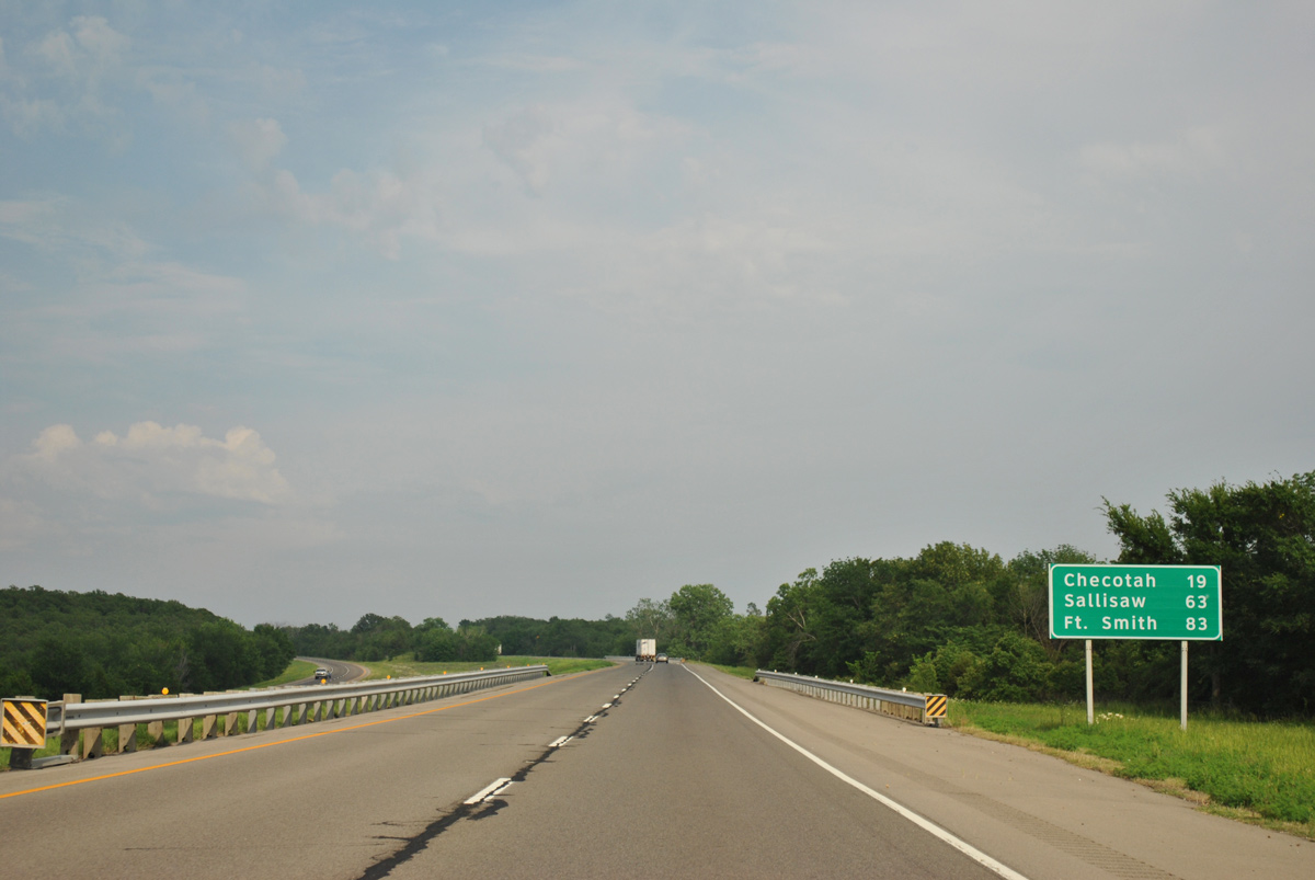
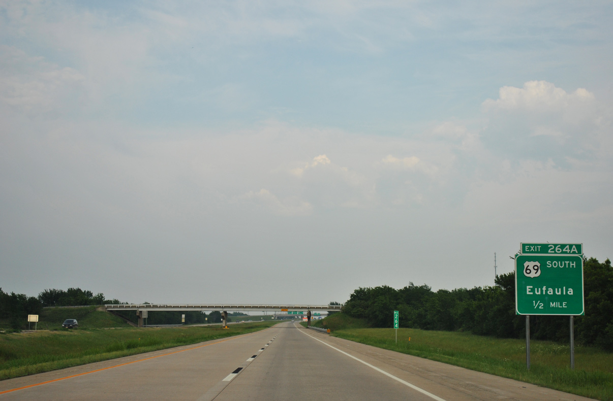
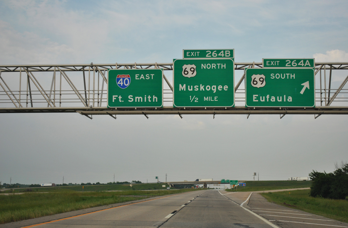
Interstate 40 converges with the freeway along U.S. 69 at a cloverleaf interchange (Exit 264) just outside the town of Checotah.
05/06/12
05/06/12
05/06/12
05/06/12
05/06/12

An implied overlap takes U.S. 69 Business east alongside IH 40 from U.S. 69 to Broadway Street in Checotah.
05/06/12
05/06/12
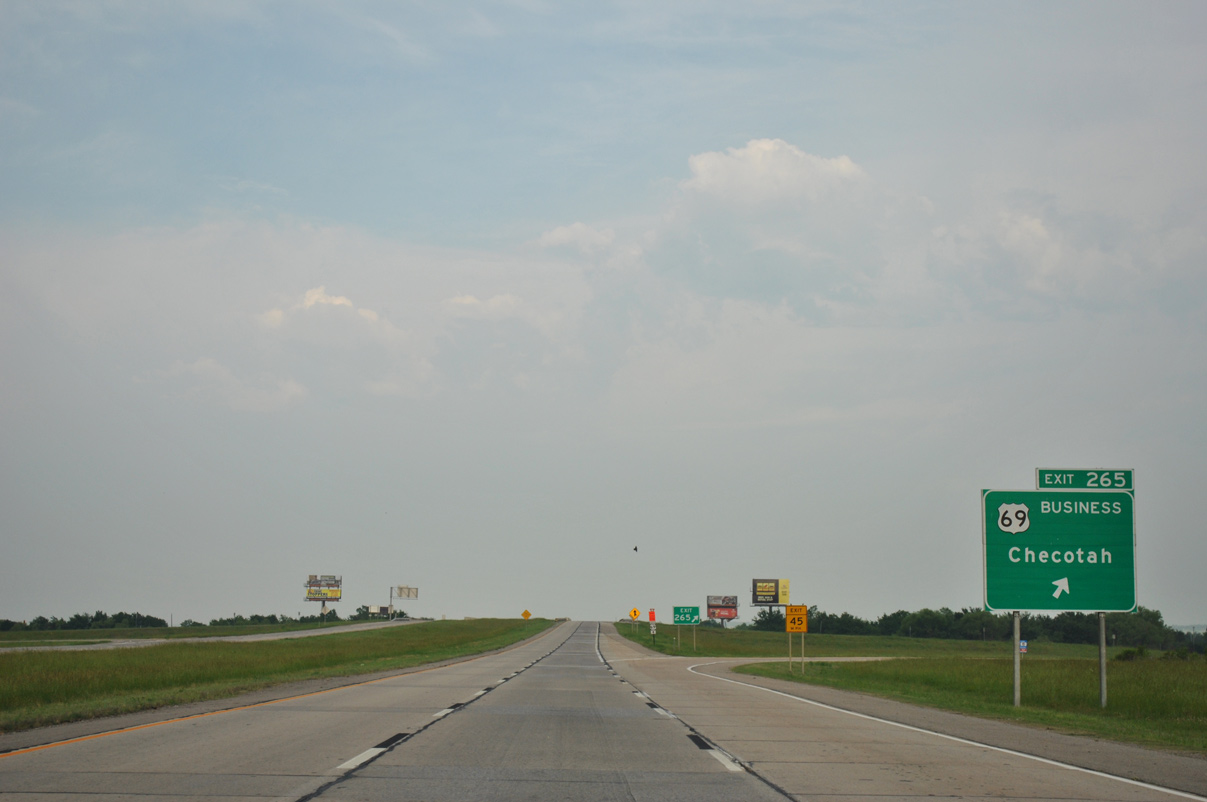
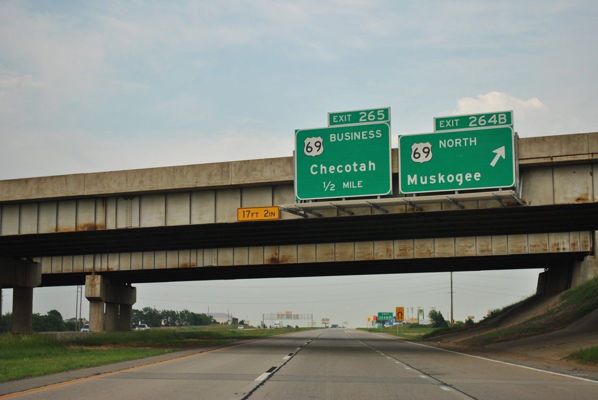
U.S. 69 Business lines Broadway Street for 3.07 miles from Exit 265 to a diamond interchange with U.S. 69 in north Checotah.
05/06/12
05/06/12
05/06/12
05/06/12
05/06/12

05/06/12
05/06/12
05/06/12
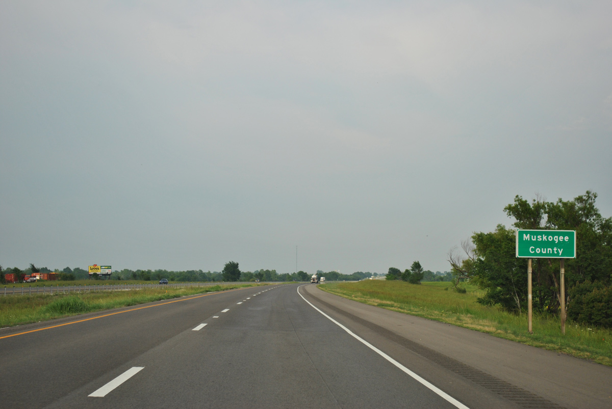
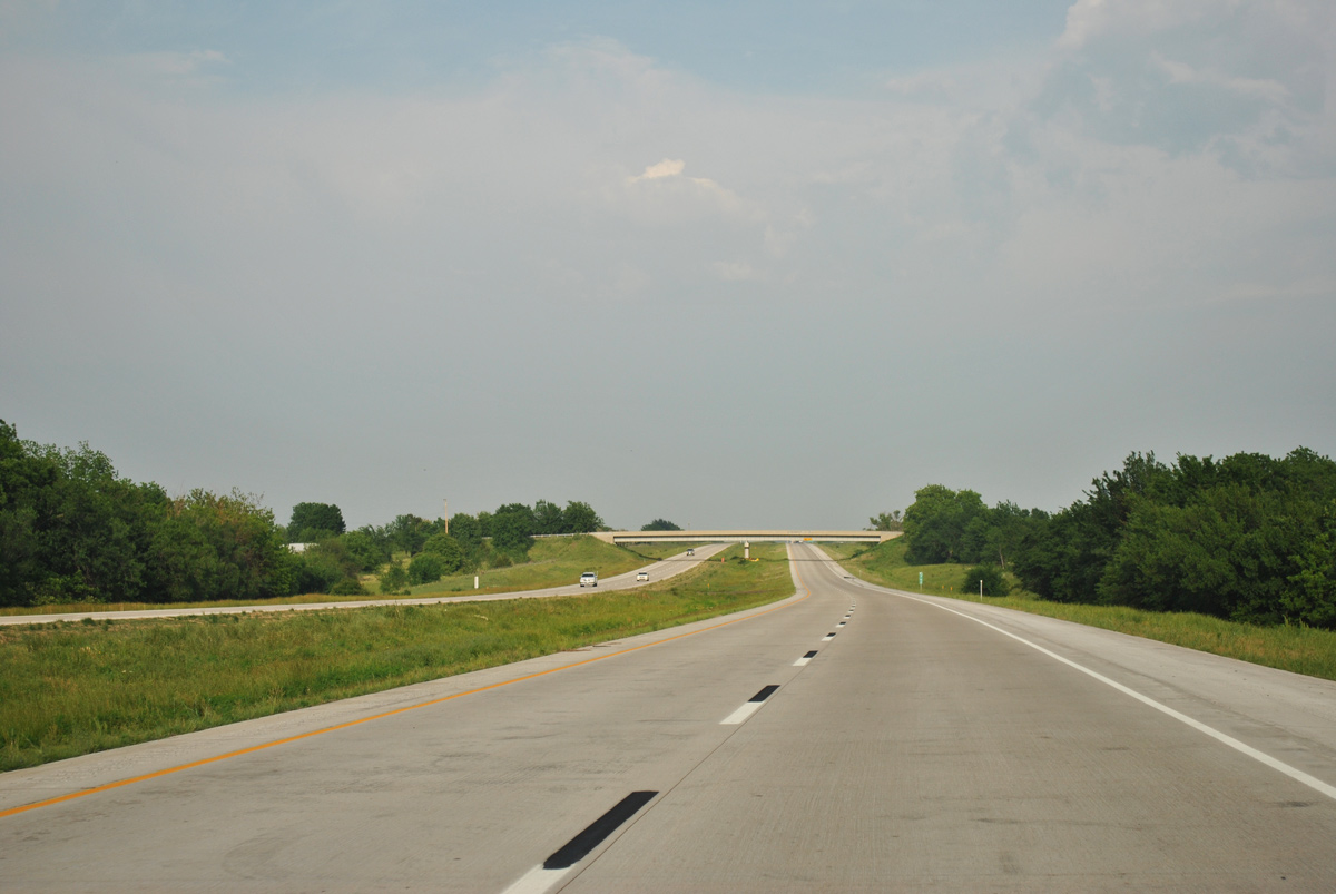
Shifting north of parallel U.S. 266, Interstate 40 enters Muskogee County.
05/06/12
05/06/12

References:
- History - Oklahoma Turnpike Authority. State of Oklahoma web site.
Photo Credits:
- ABRoads: 05/06/12
Connect with:
Page Updated Wednesday July 13, 2022.