
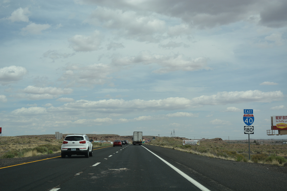
Interstate 40 East - Joseph City to Holbrook
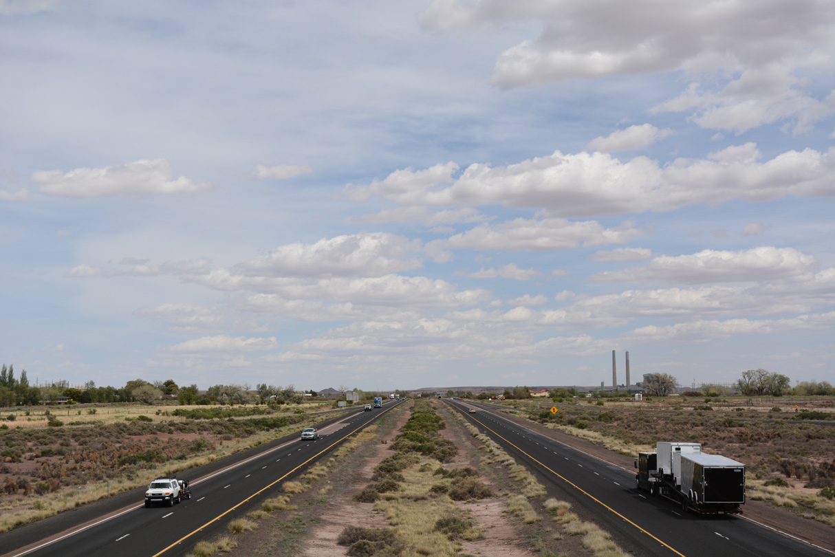
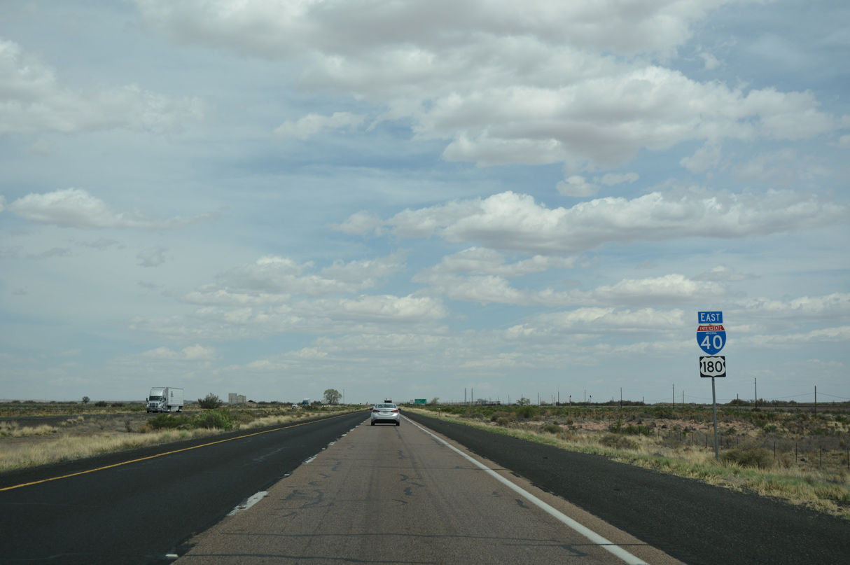
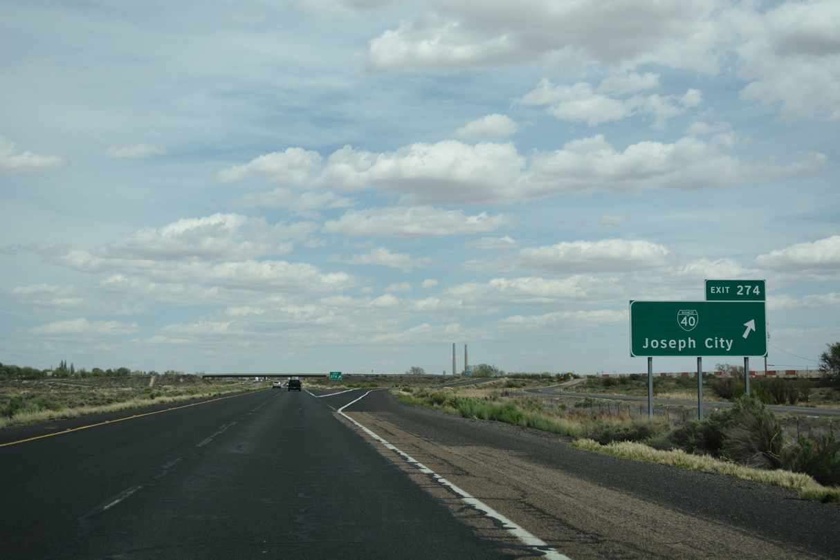
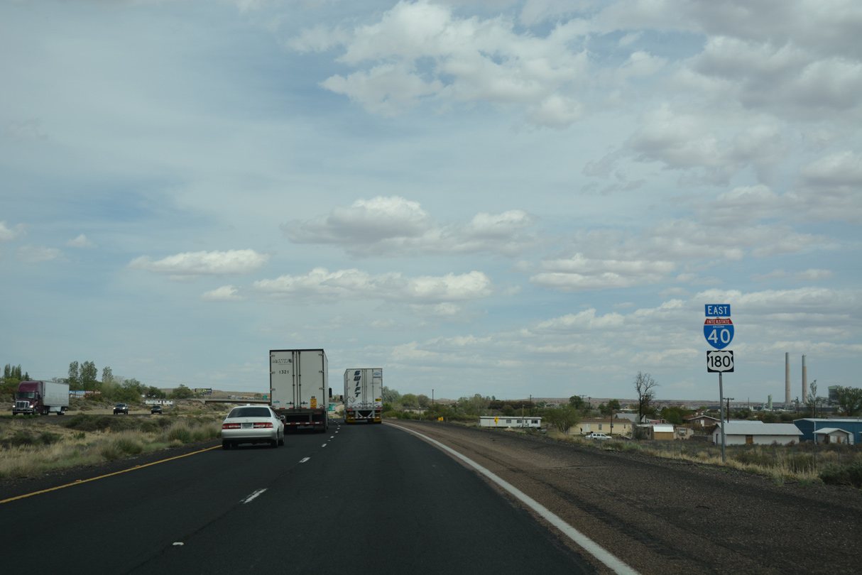
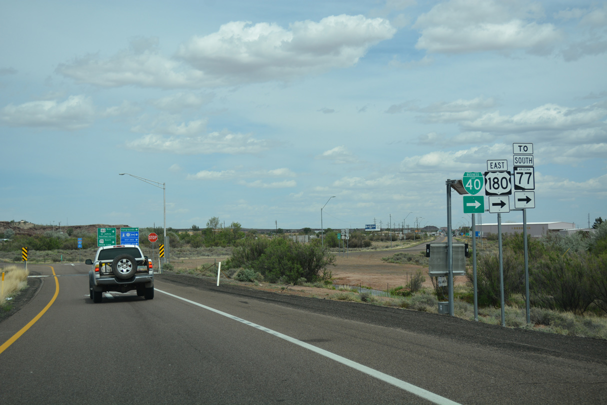
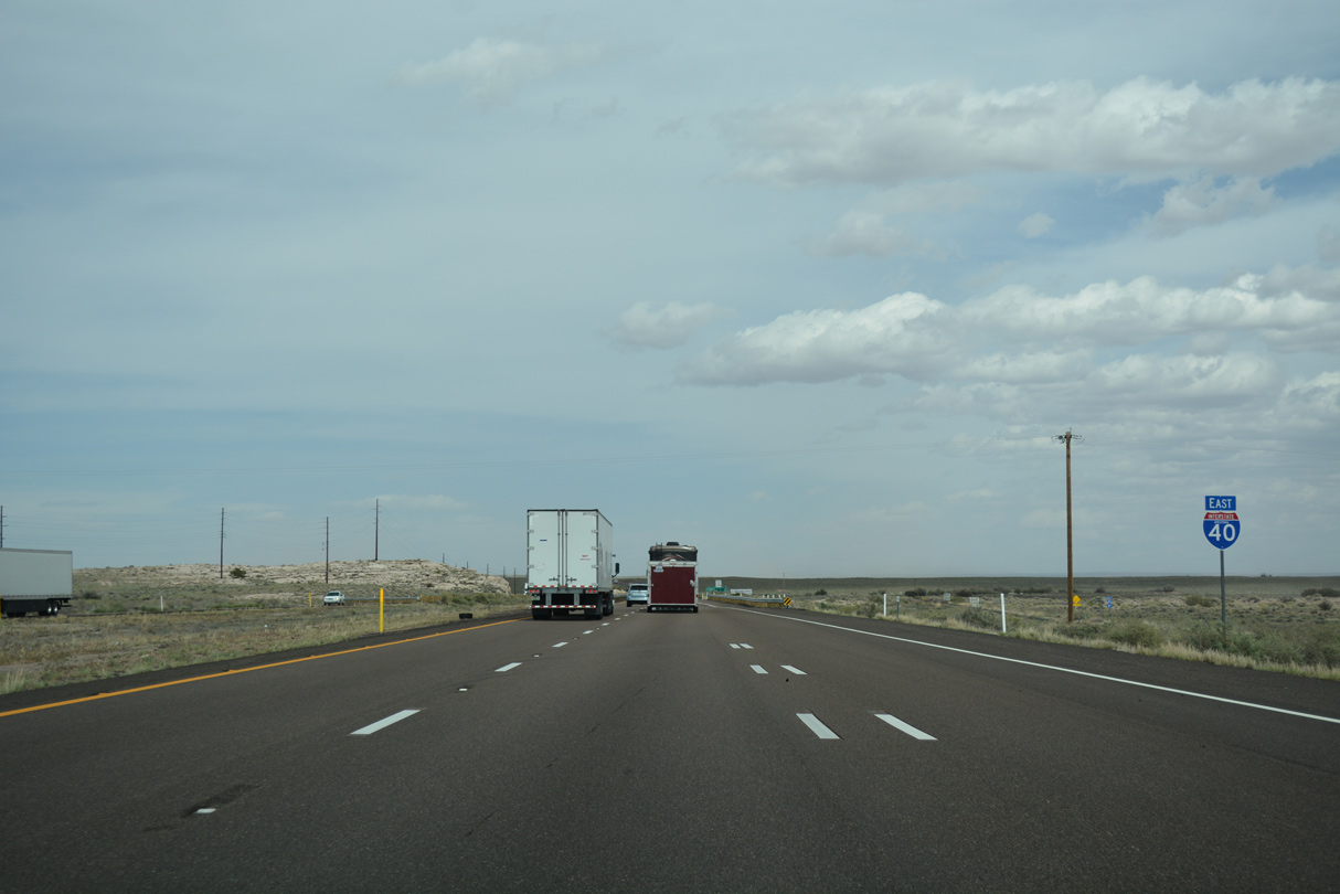
Eastward view of I-40/U.S. 180 from the diamond interchange with the west end of Business Loop I-40 at Joseph City, Arizona. - 04/27/2017

 East
East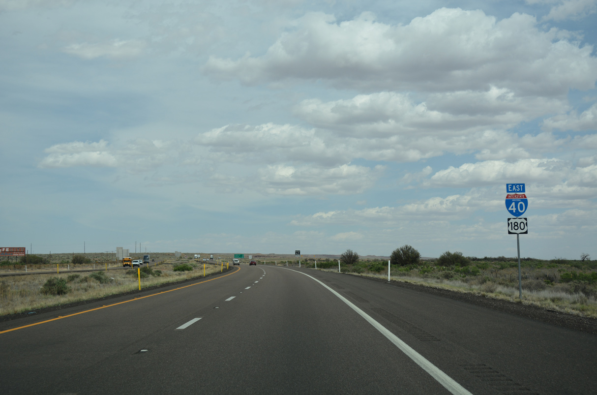
04/27/17
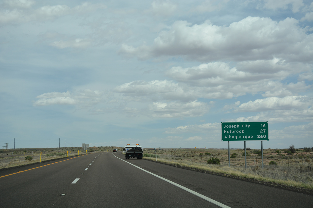
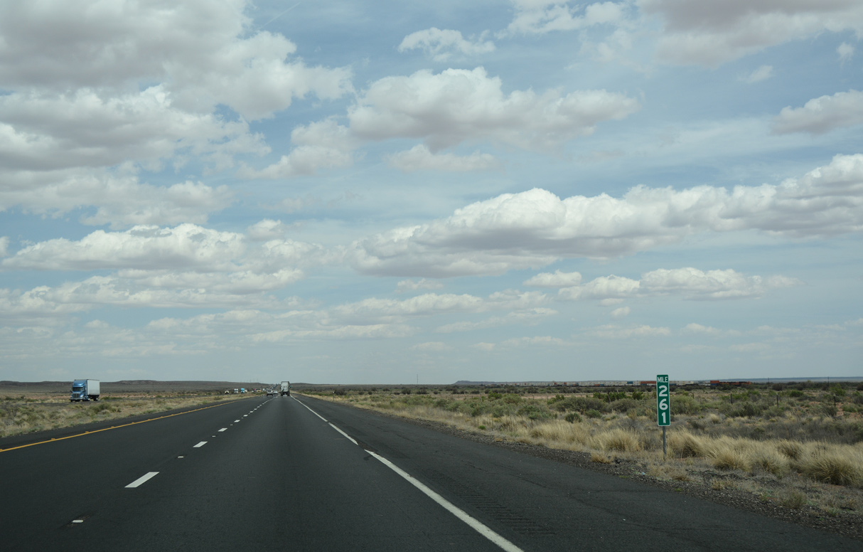
I-40/U.S. 180 curve southeast across Cottonwood Wash beyond this distance sign 16 miles from Joseph City. During the early days of settlement, there were many cottonwood trees along the wash that pioneers cut down and used.
04/27/17
04/27/17
04/27/17
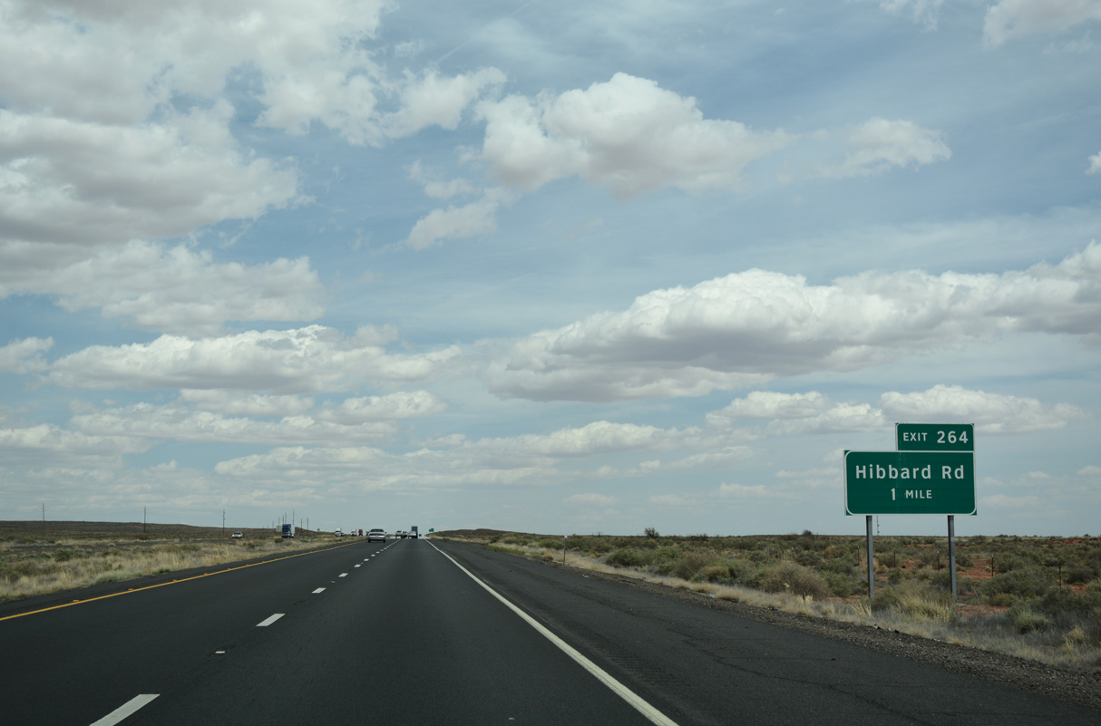
Hibbard Road is a ranch exit located one mile ahead on I-40/U.S. 180 east.
04/27/17
04/27/17
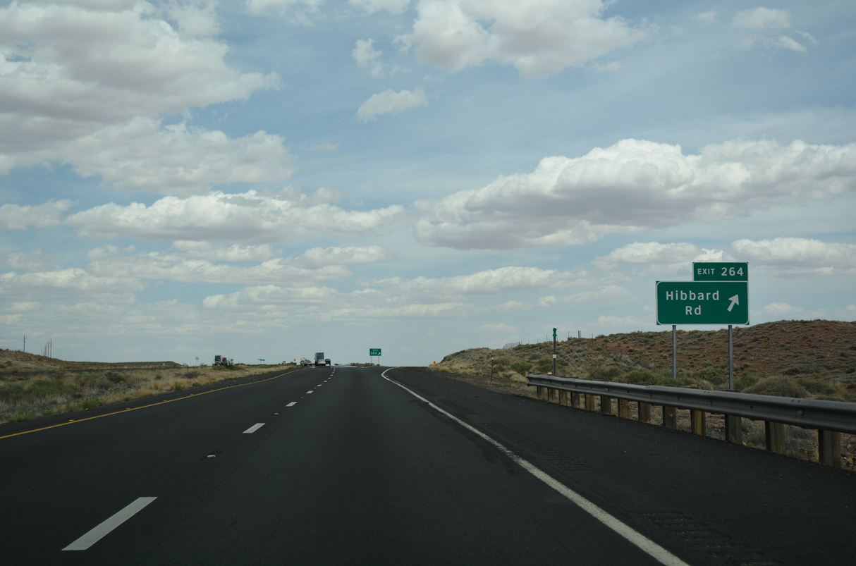
Hibbard is a BNSF Railroad siding located nearby that was named after the former head of the Santa Fe Railroad.
04/27/17
04/27/17
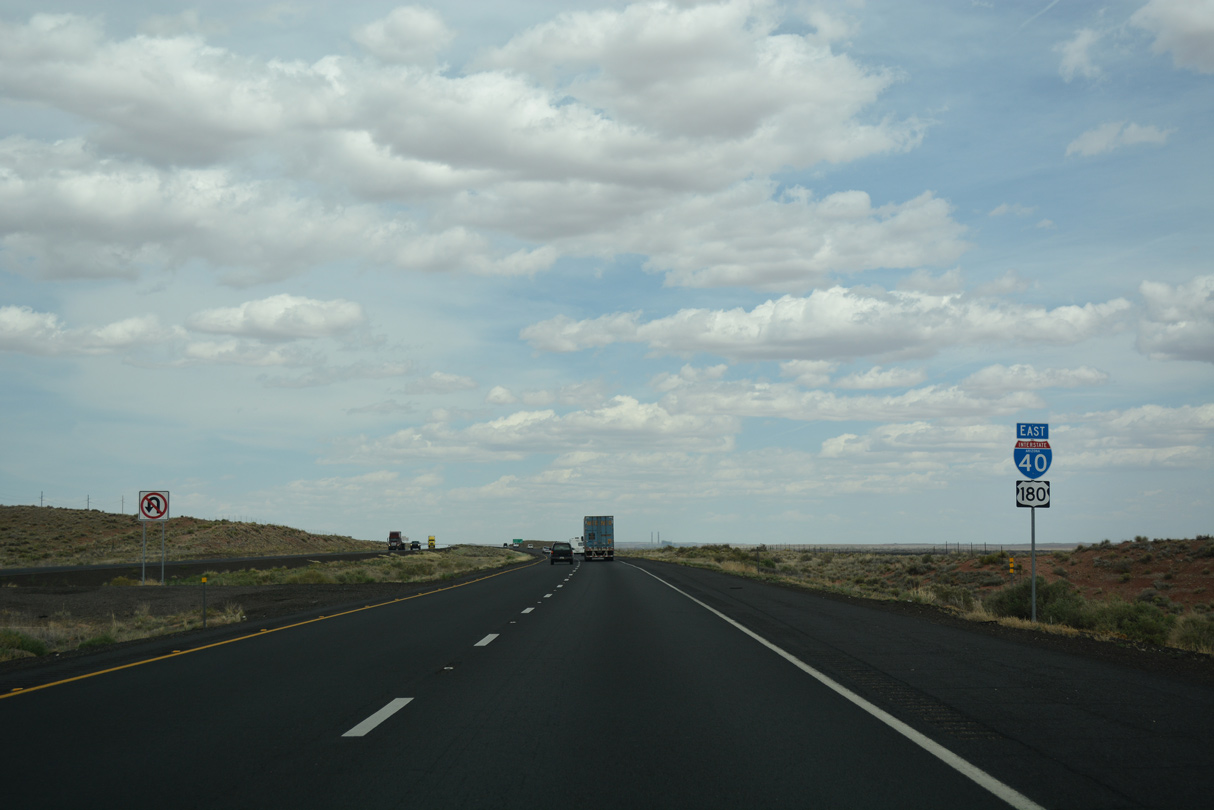
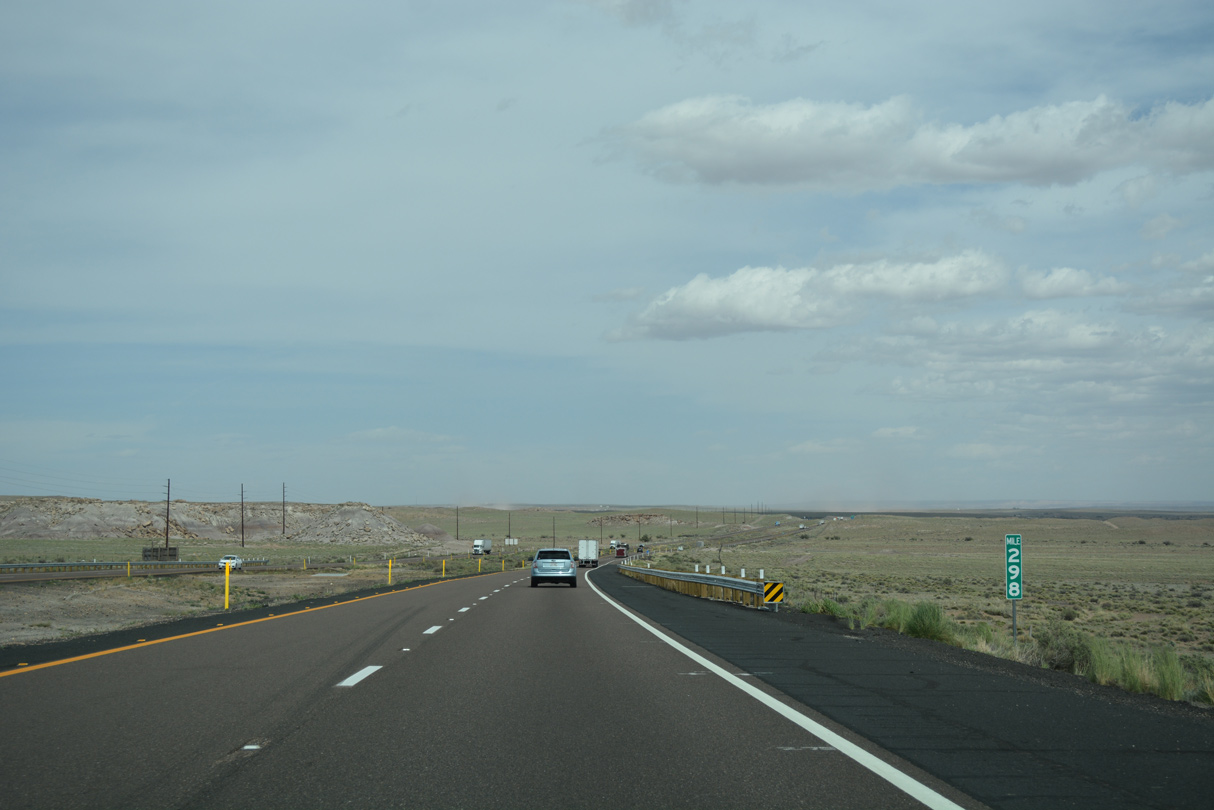
20,507 vehicles per day (vpd) were recorded along Interstate 40 east of Exit 264 by ADOT in 2019.
04/27/17
04/27/17
04/27/17
04/27/17
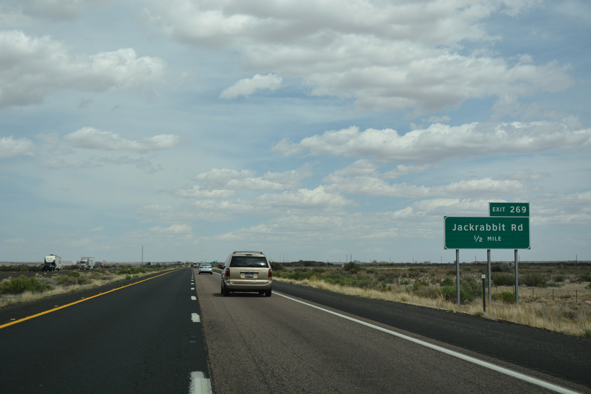
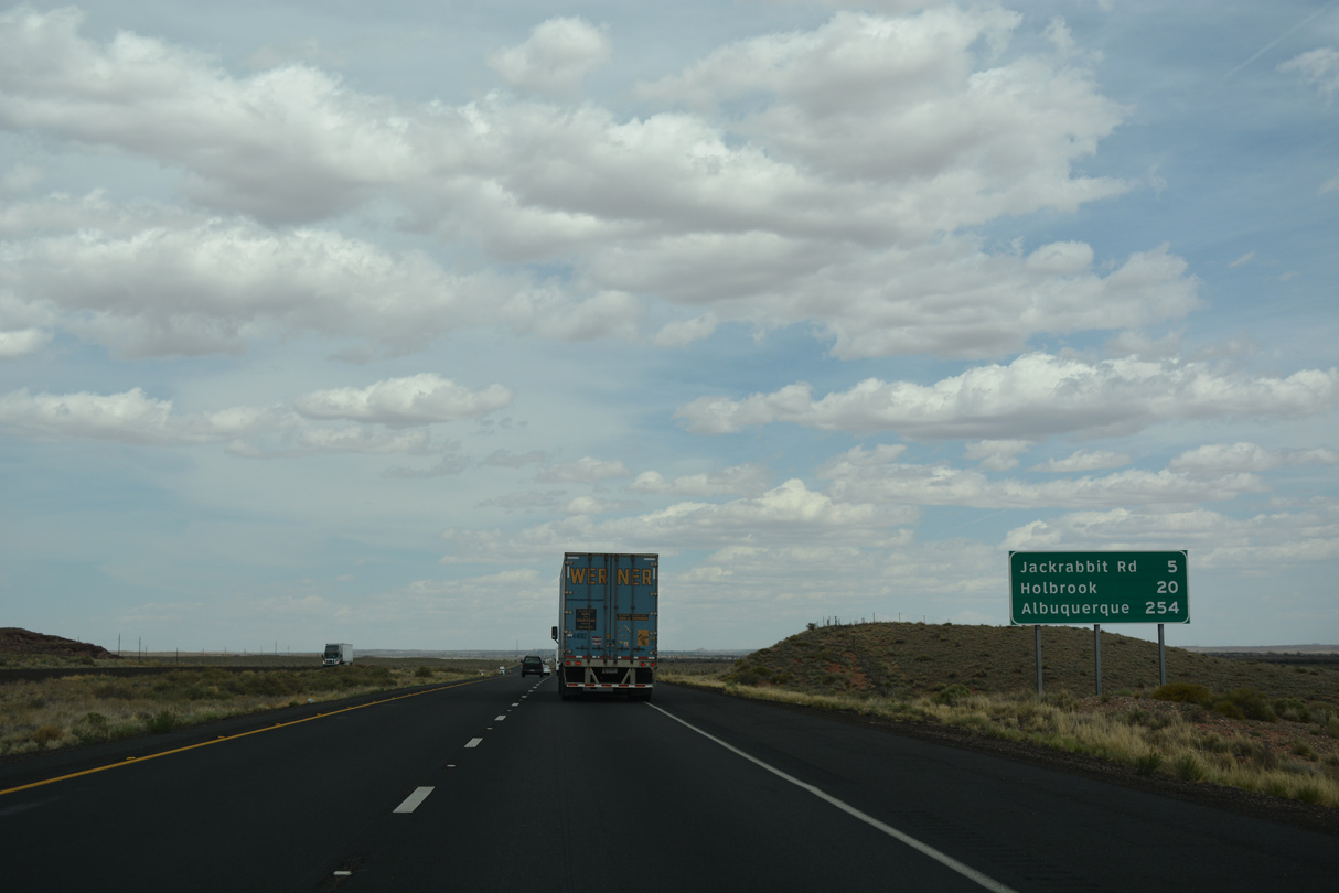
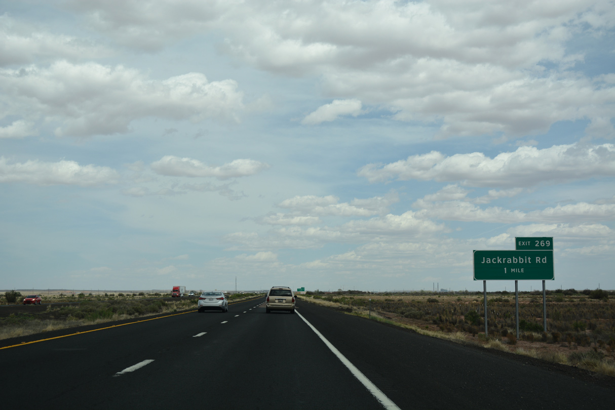
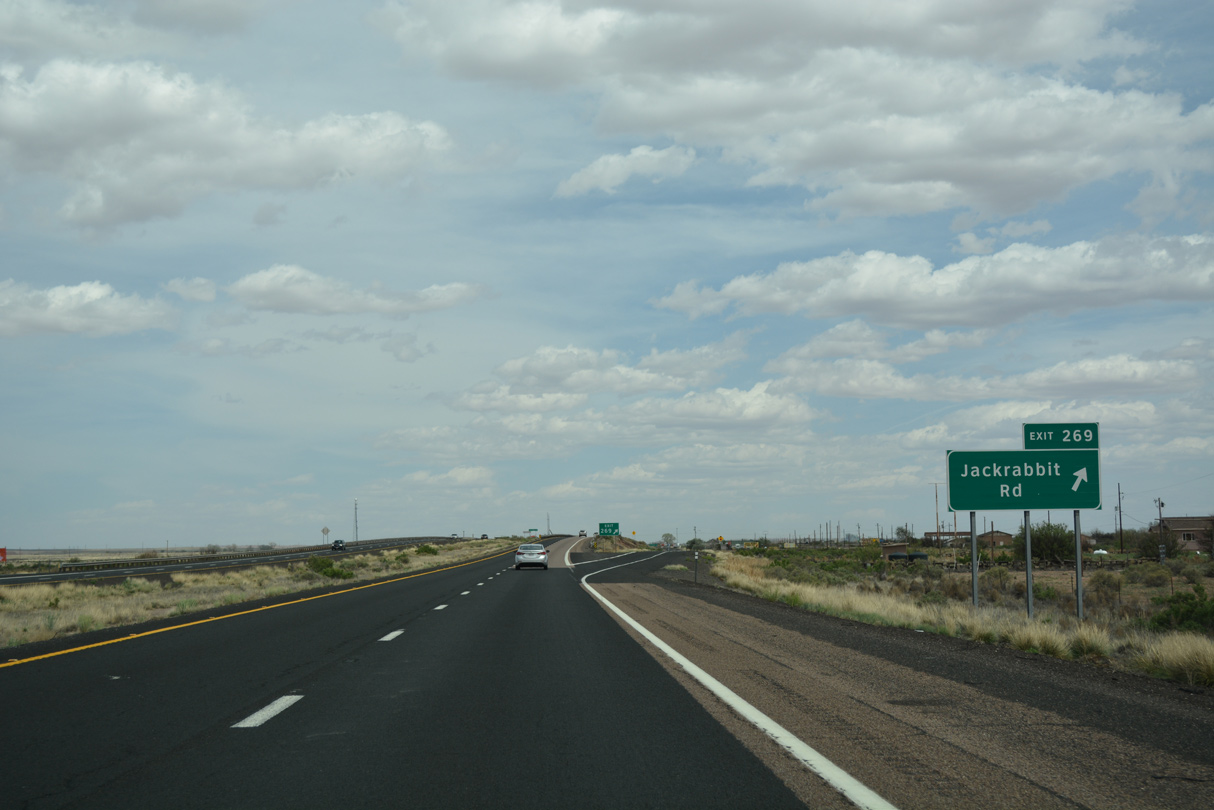
Jackrabbit Road serves the Jackrabbit Trading Post and former US 66.
04/27/17
04/27/17
04/27/17
04/27/17
04/27/17
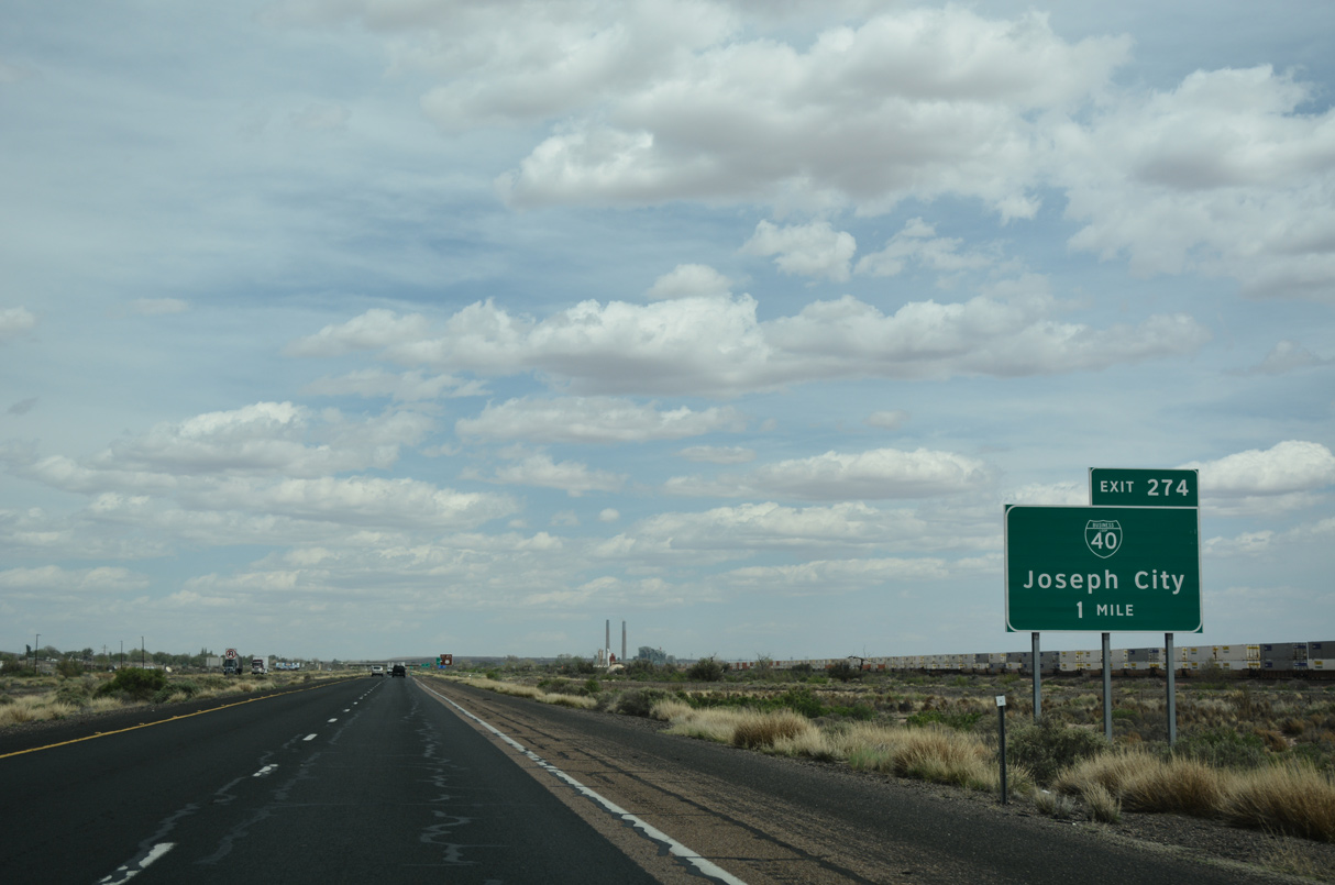
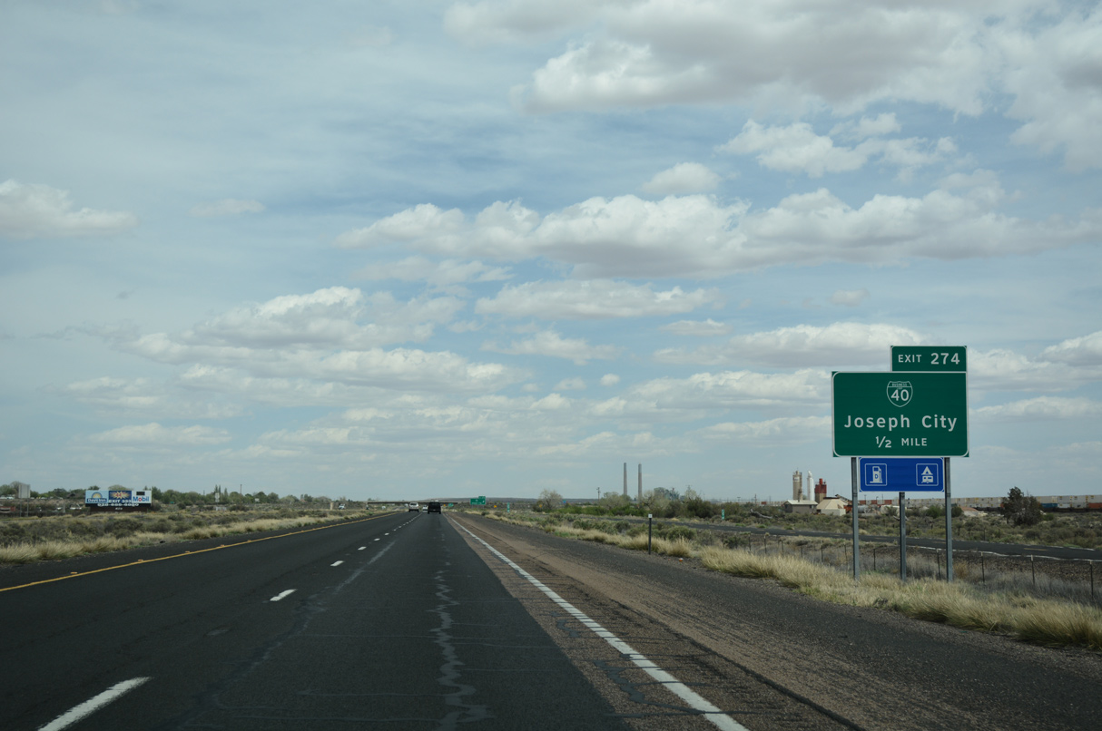
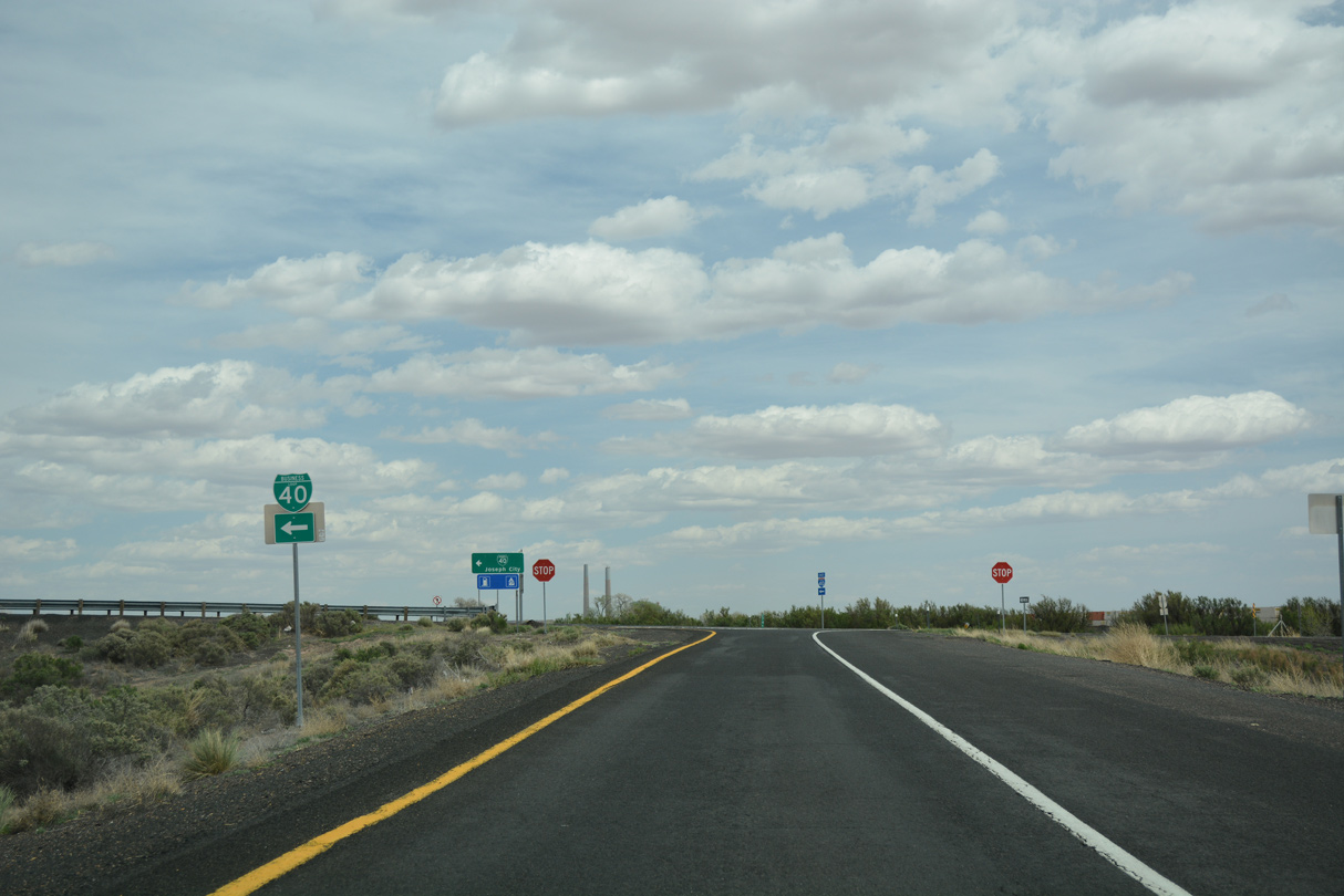
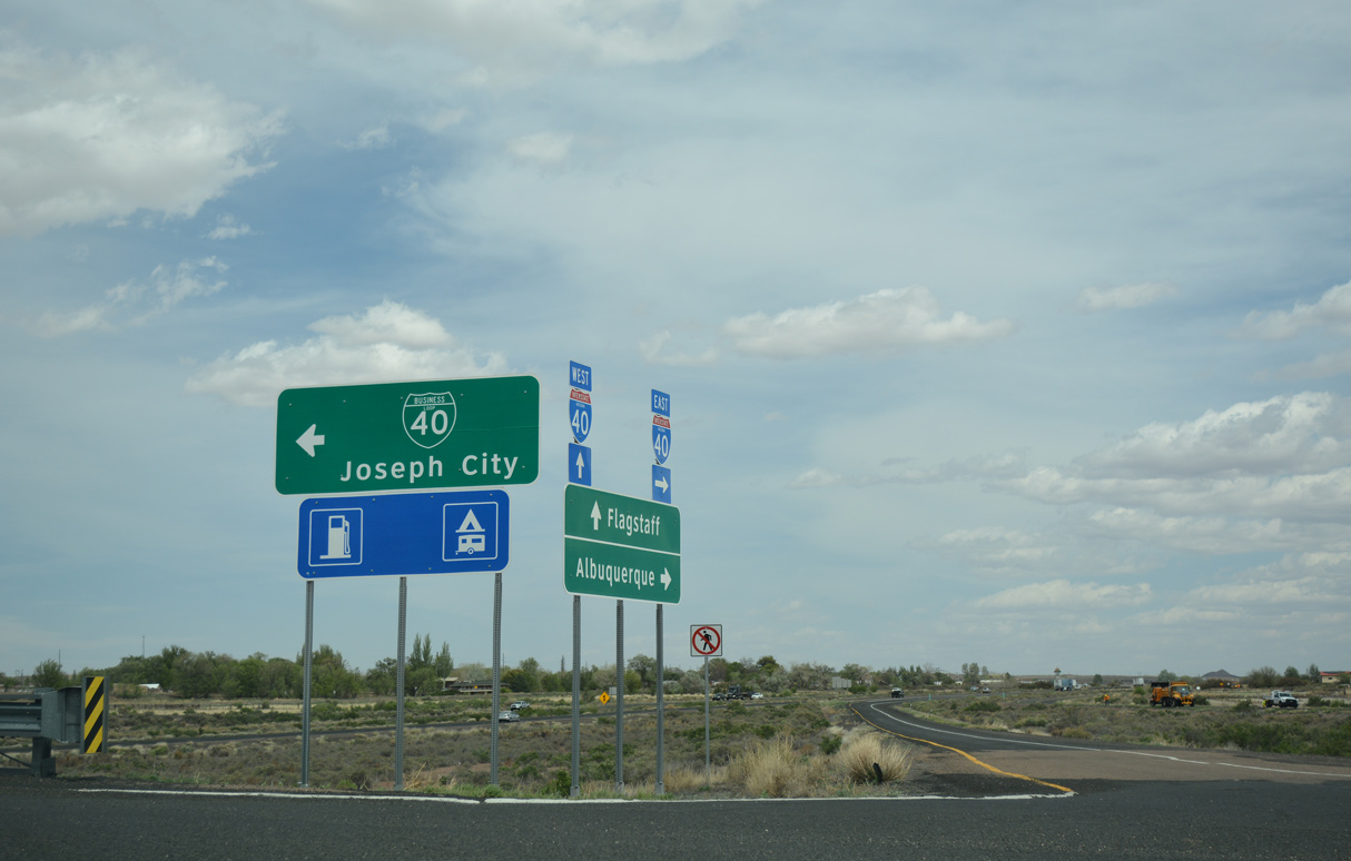
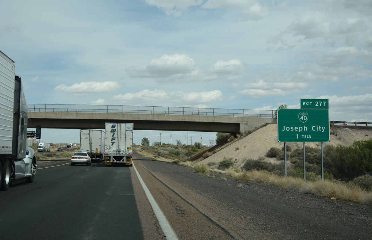
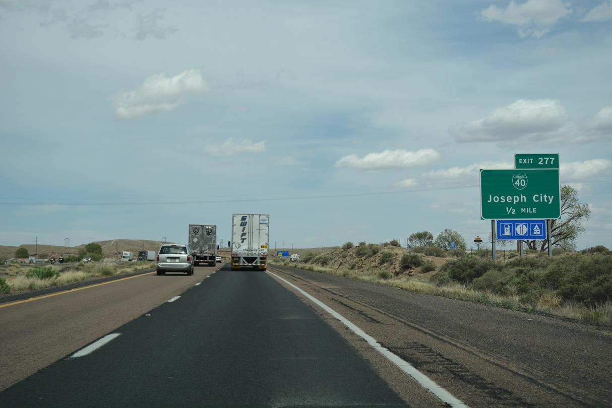
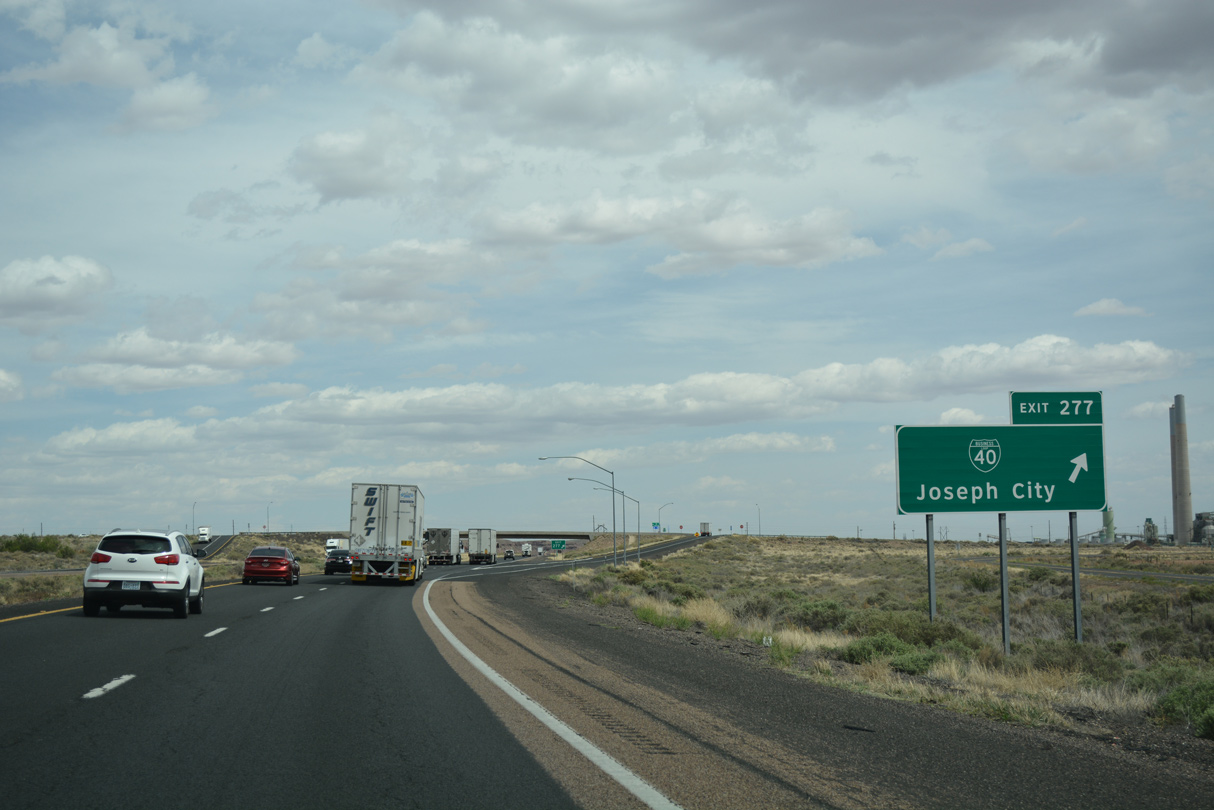
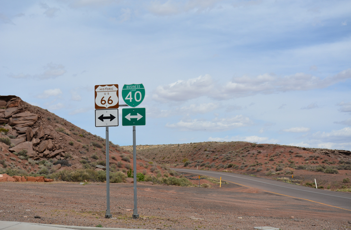
The diamond interchange at Exit 274 joins I-40/U.S. 180 with the west end of Business Loop I-40 at unincorporated Joseph City.
04/27/17
04/27/17
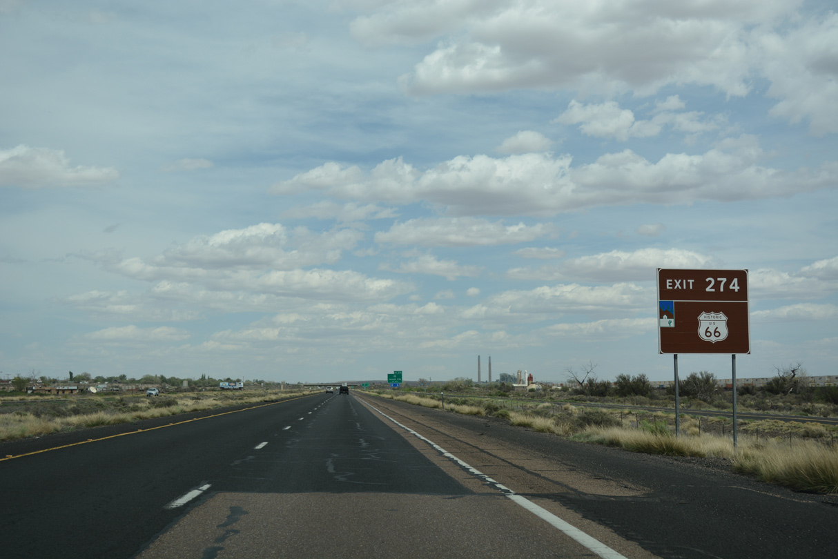
Business Loop I-40 through Joseph City is another section of Historic U.S. 66.
04/27/17
04/27/17
Joseph City was founded by Mormon pioneers in 1876, and named after the Mormon prophet Joseph Smith (who translated the Book of Mormon). The town was a farming center until the 1960s, when the nearby Cholla power plant opened, which dried up groundwater supplies used for farming.
04/27/17
04/27/17
Business Loop I-40 through Joseph City is 2.83 miles in length between Exit 274 and 277.
04/27/17
04/27/17
Business Loop I-40 crosses I-40/U.S. 180 north to Main Street, where it lines Historic U.S. 66 east to the Joseph City street grid.
04/27/17
04/27/17
04/27/17
04/27/17
Westover Avenue spans I-40/U.S. 180 one mile from the diamond interchange (Exit 277) with the east end of Business Loop I-40 from Joseph City.
04/27/17
04/27/17
Rogers Avenue extends 0.39 miles south from Business Loop I-40 (Main Street) and Exit 277 to Cholla Lake Road. Historic U.S. 66 spurs east along Cholla Lake Road to Cholla Lake.
04/27/17
04/27/17
04/27/17
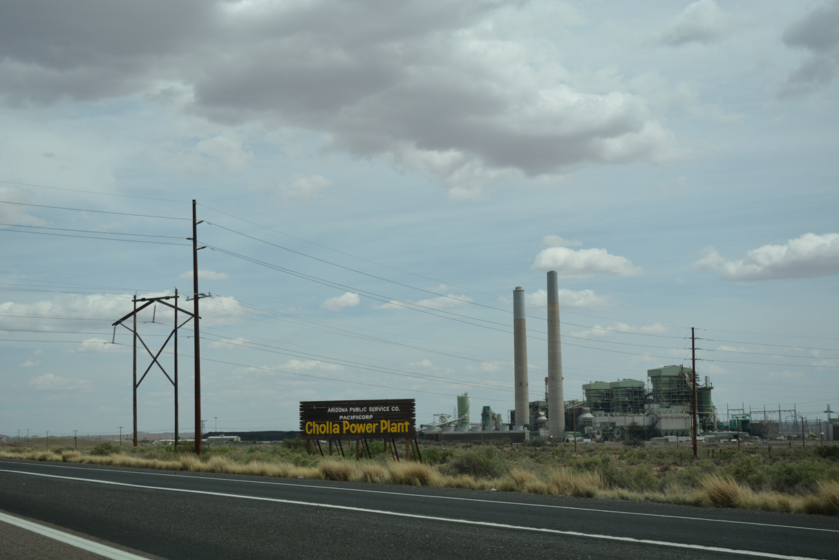
The Cholla Power Plant lies just off of Historic U.S. 66 (Cholla Lake Road), south of I-40/U.S. 180 by Tanner Wash.
04/27/17
04/27/17
04/27/17
04/27/17
04/27/17
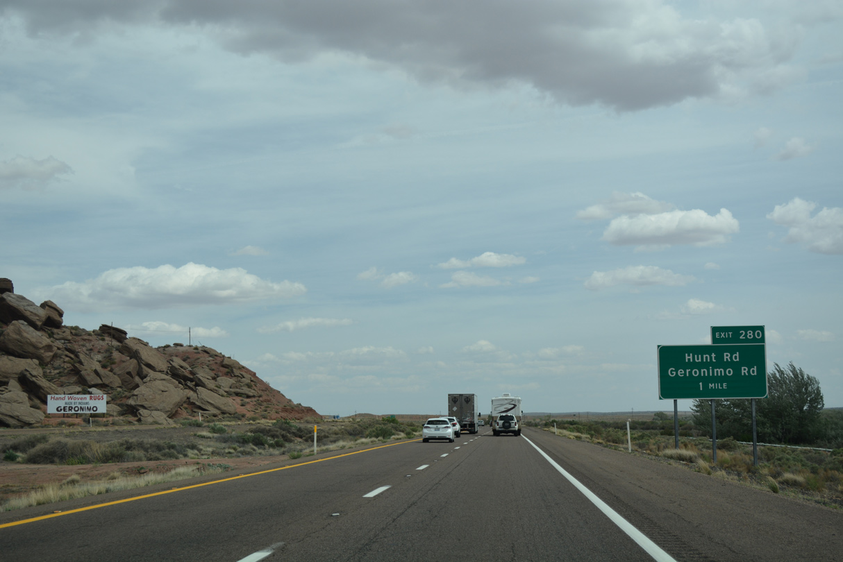
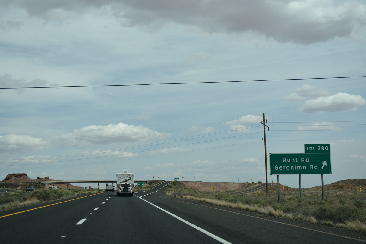
A modified diamond interchange at Exit 280 connects I-40/U.S. 180 with Geronimo Road (Historic U.S. 66) and Hunt Road.
04/27/17
04/27/17
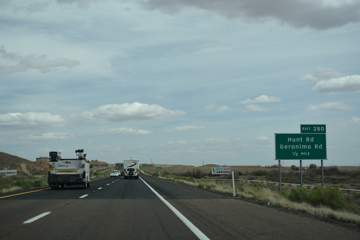
Exit 280 serves the Geronimo Trading Post, one of the many trading posts along former US 66. The trading post appears along the north side of I-40/U.S. 180 just beyond the exchange at Hunt Road.
04/27/17
04/27/17
04/27/17
04/27/17
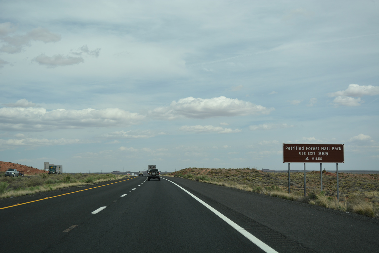
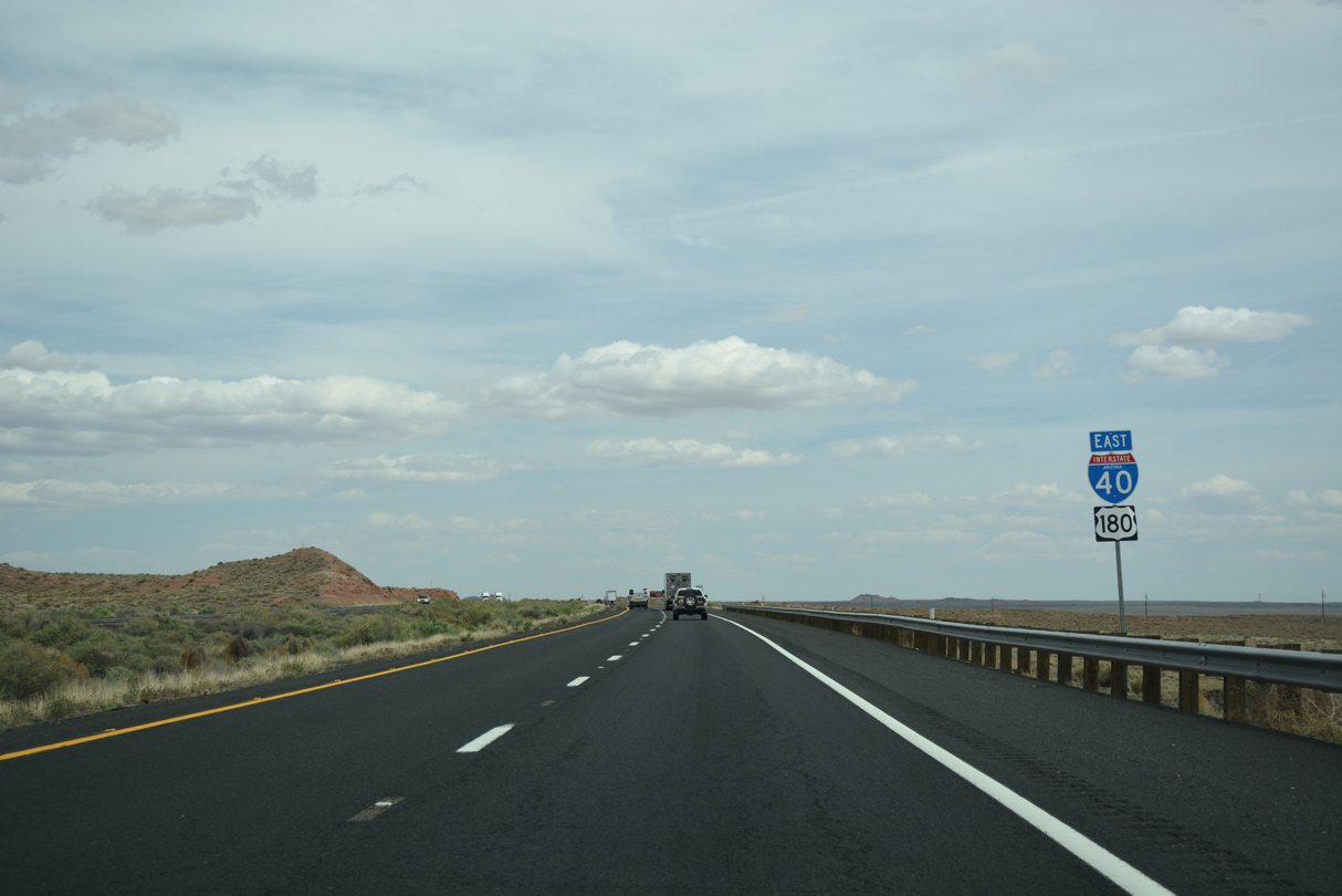
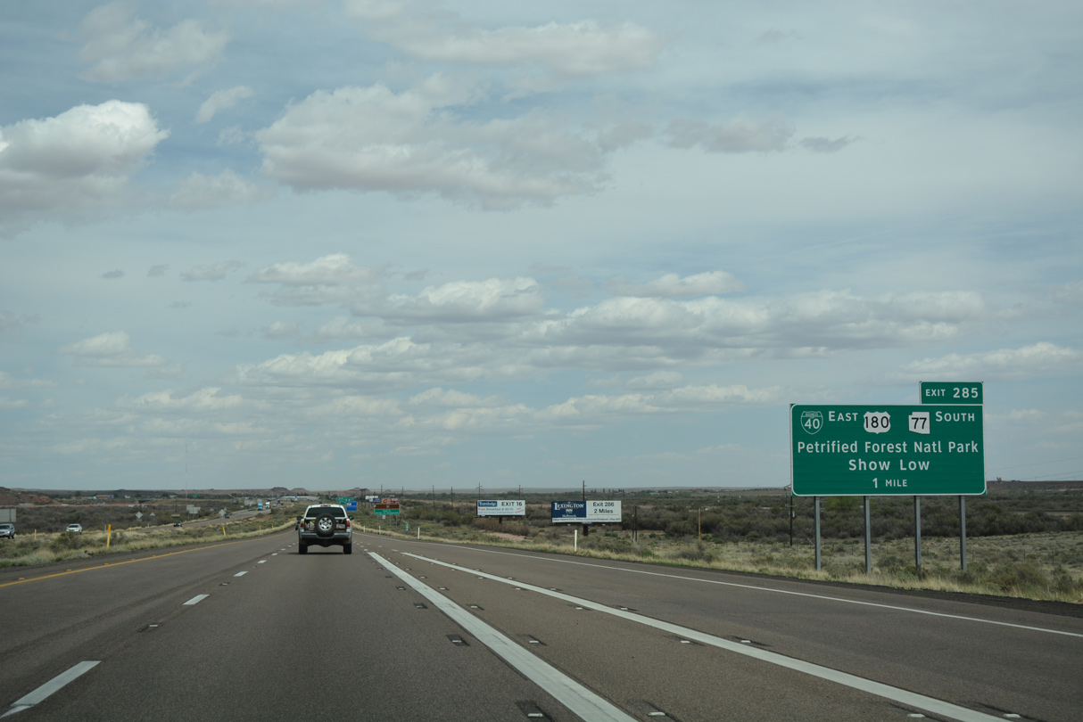
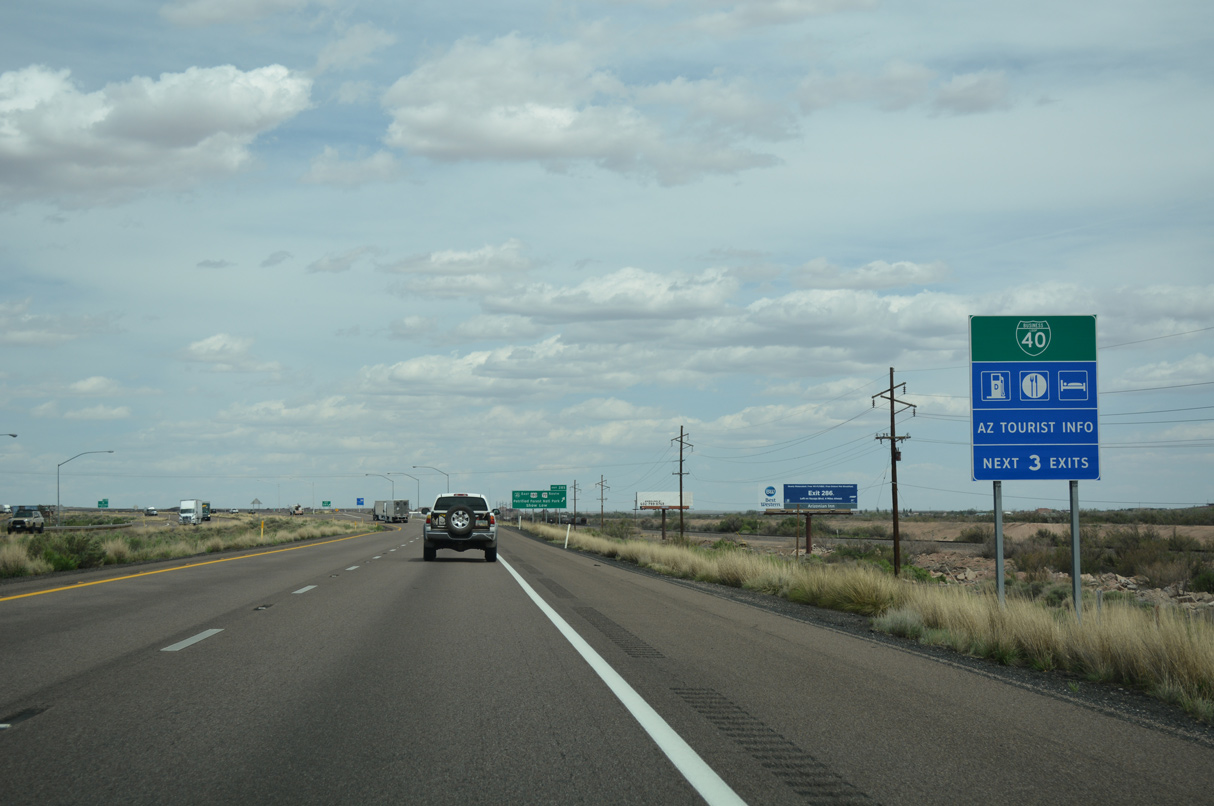
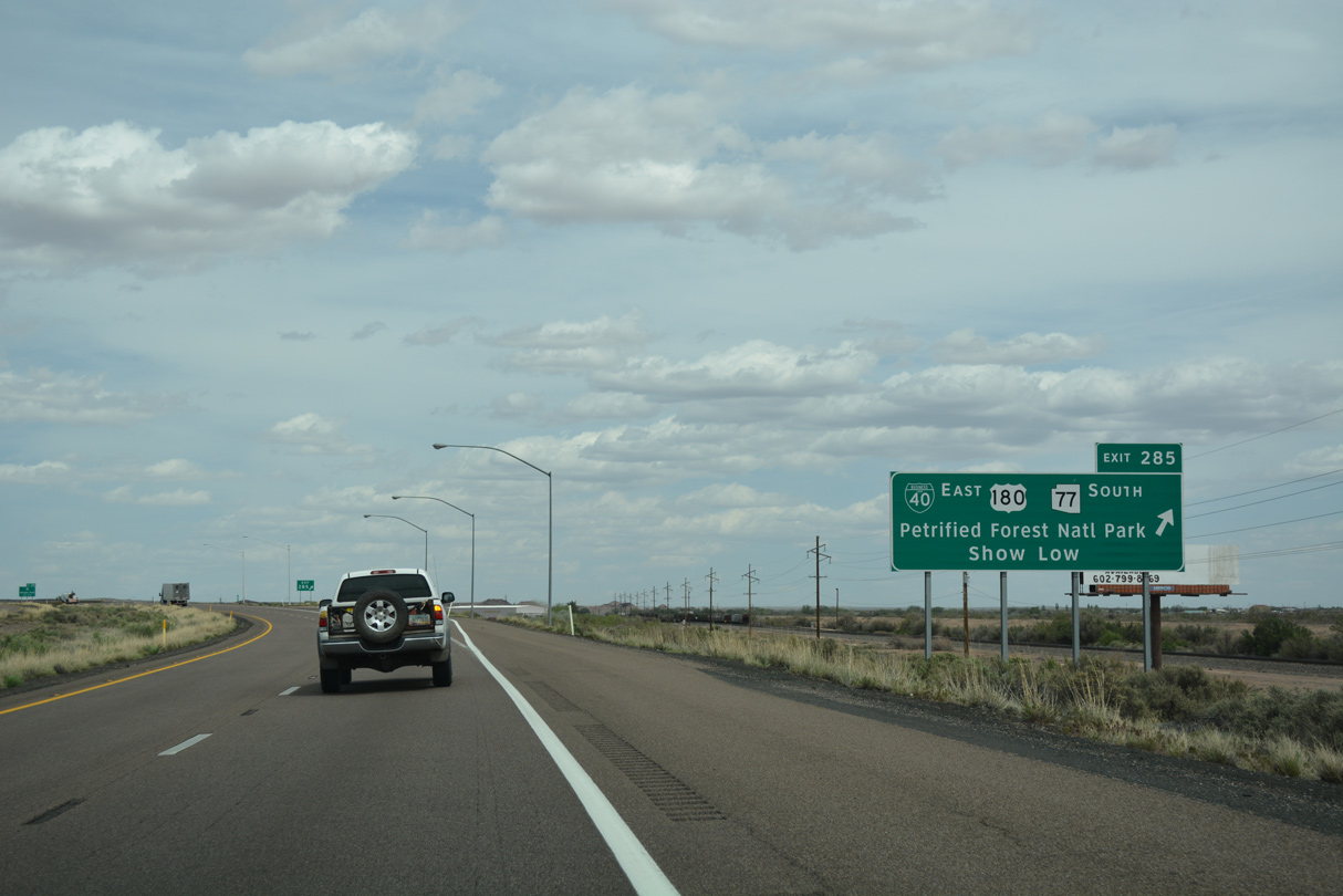
Petrified Forest National Park lies east of Holbrook and north of U.S. 180, which separates from I-40 at Exit 285. I-40 passes through northern reaches of the park at Exit 311.
04/27/17
04/27/17
04/27/17
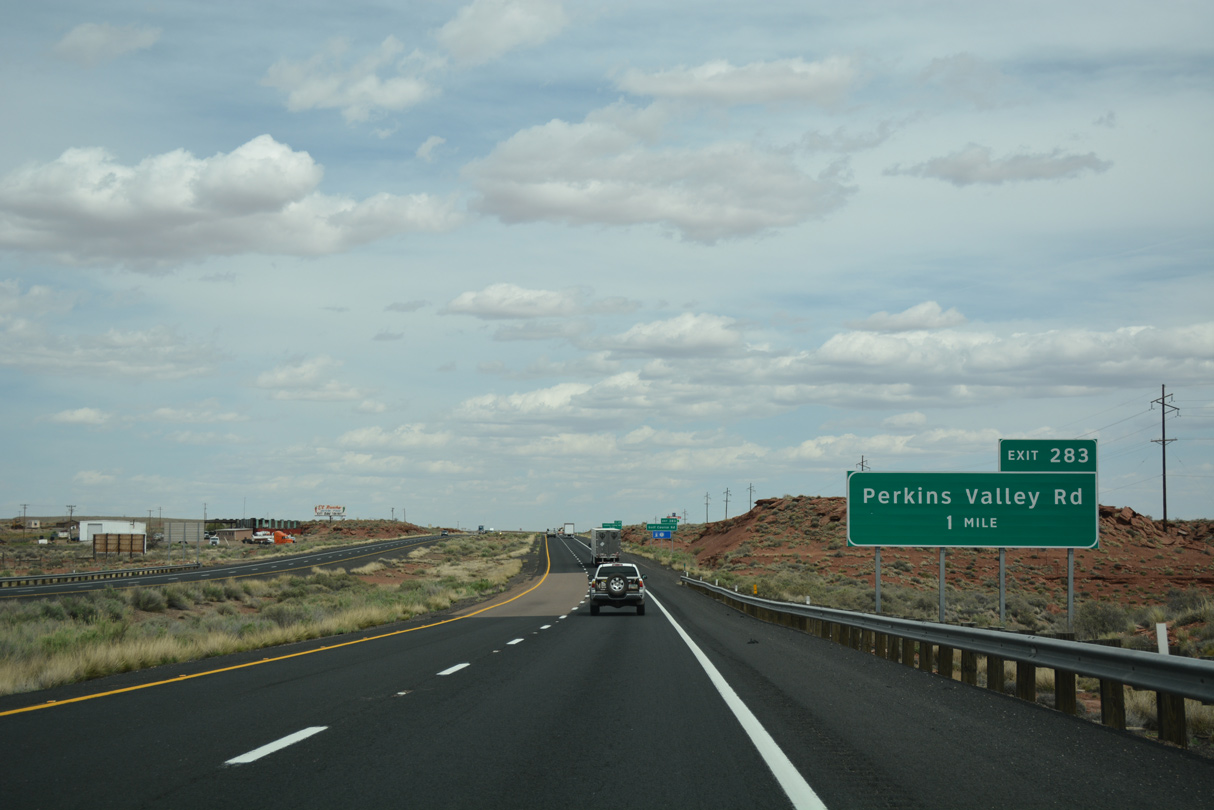
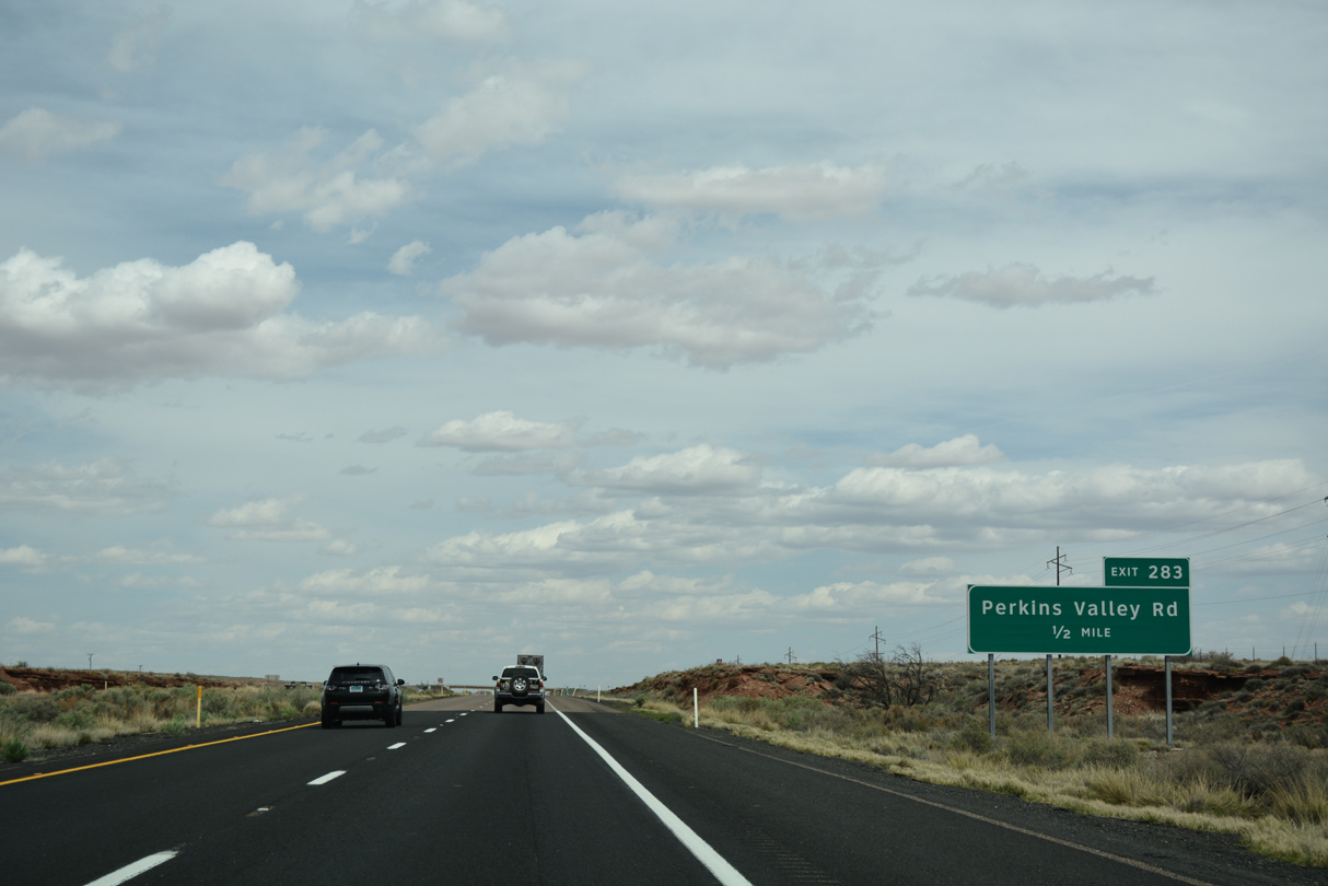
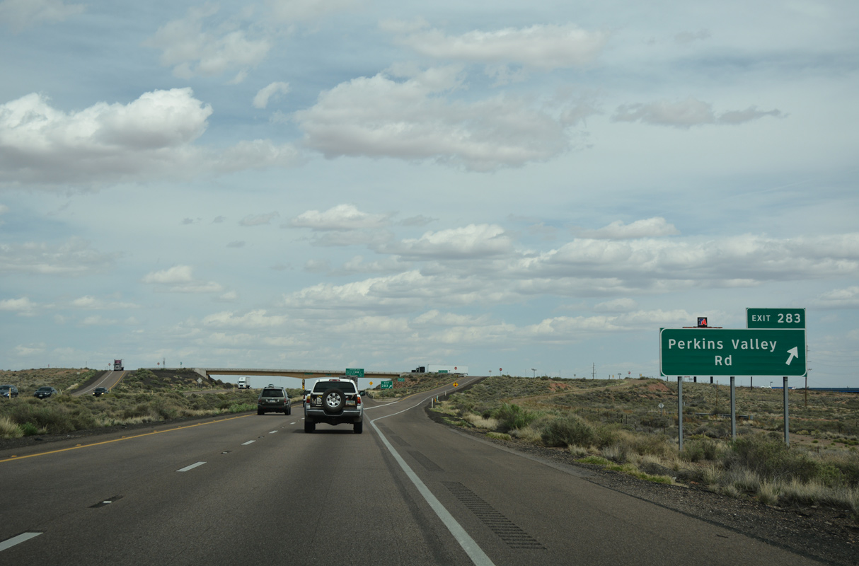
I-40/U.S. 180 proceed east from Perkins Valley to a diamond interchange (Exit 283) linking with Express Drive, Perkins Valley Road west and Golf Course Road east.
04/27/17
04/27/17
Golf Course Road spurs northeast from Perkins Valley Road to Hidden Cove Golf Course, which is operated by the city of Holbrook.
04/27/17
04/27/17
I-40/U.S. 180 east enter the Holbrook city limits at Exit 283.
04/27/17
04/27/17
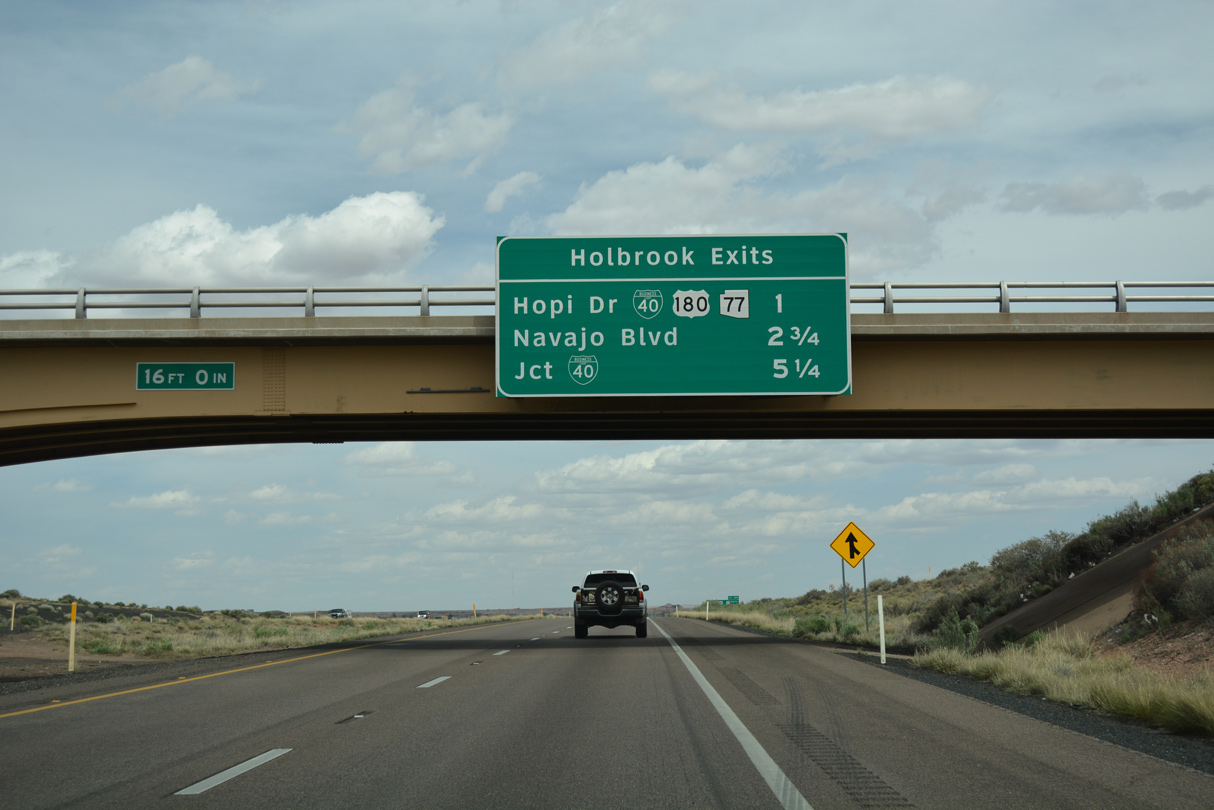
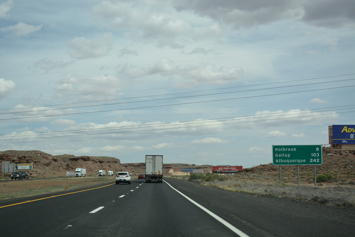
Three exits serve Holbrook from Interstate 40 east. The seat of Navajo County was named after H.R. Holbrook, the first engineer on the Atlantic and Pacific Railroad.
04/27/17
04/27/17
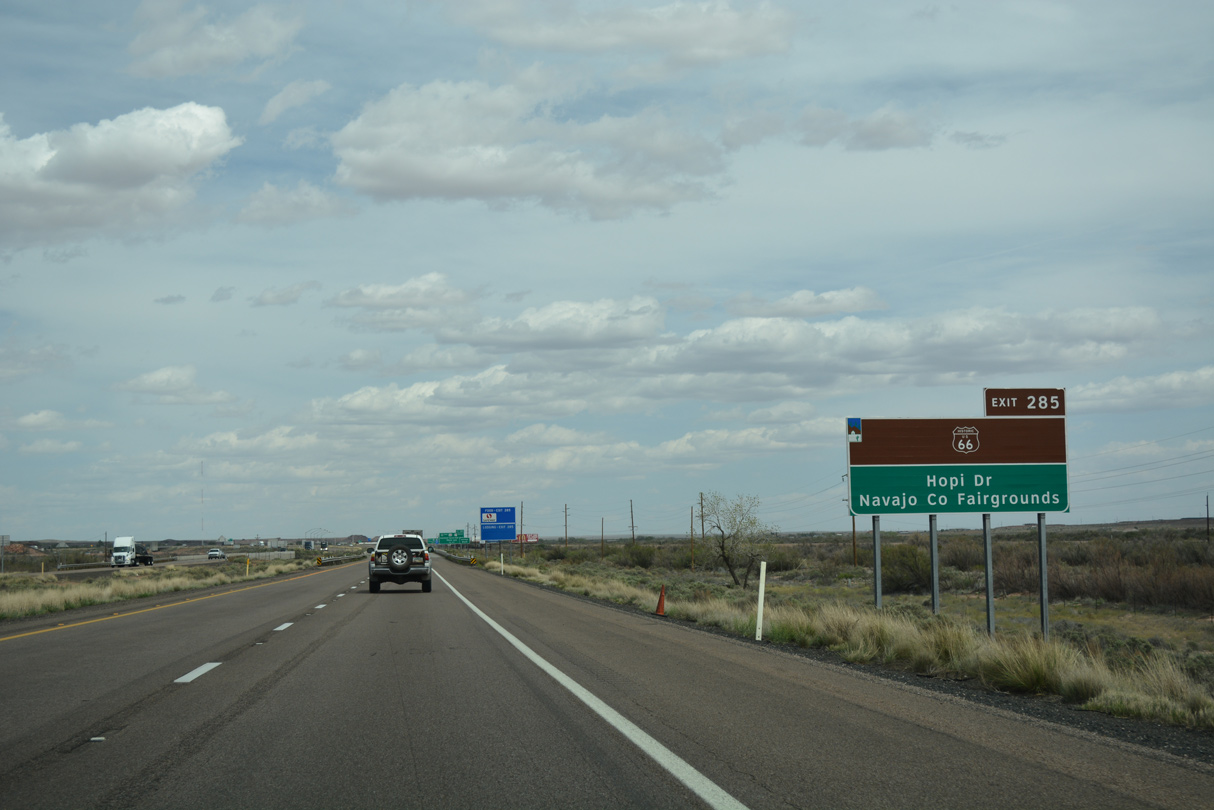
Business Loop I-40 (W Hopi Drive) separates from I-40 alongside U.S. 180 at Exit 285.
04/27/17
04/27/17
Business Loop I-40 overlays Historic U.S. 66 east to Downtown Holbrook and north to Holbrook Municipal Airport (HBK).
04/27/17
04/27/17
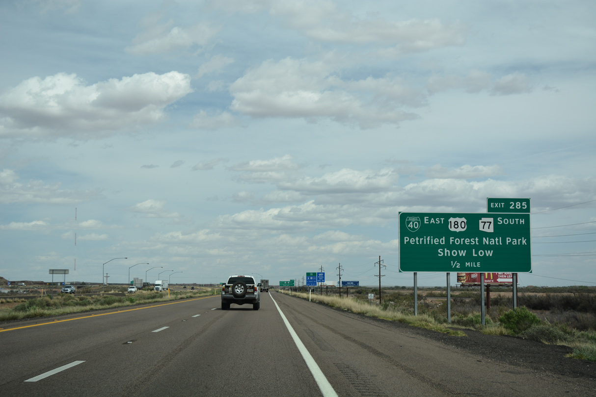
SR 77 travels south from Business Loop I-40 in Downtown Holbrook to Show Low. SR 77 extends 218.48 miles to I-10 in Tucson.
04/27/17
04/27/17
U.S. 180 angles southeast from I-40 and Holbrook to St. Johns, where it combines with U.S. 191 south to Springerville and Alpine before entering New Mexico.
04/27/17
04/27/17
Business Loop I-40 meets Interstate 40 at all three Holbrook exits.
04/27/17
04/27/17
Business Loop I-40/U.S. 180 overlap 1.67 miles to SR 77 (Navajo Boulevard). U.S. 180 combines with SR 77 for 0.74 miles south across the Little Colorado River before resuming east to St. Johns.
04/27/17
04/27/17
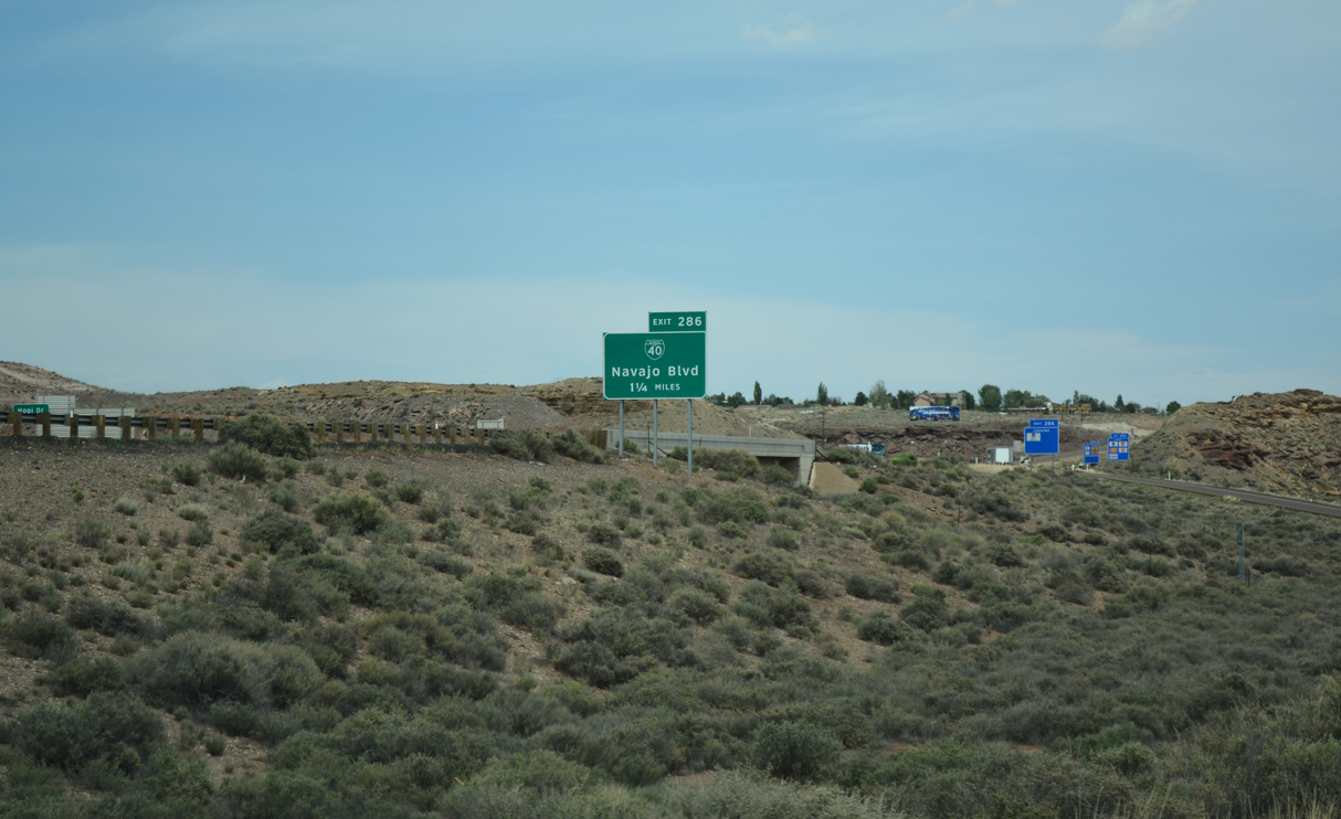
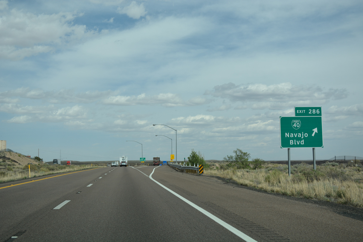
Interstate 40 passes north of the Holbrook street grid to a parclo interchange (Exit 286) with Business Loop I-40/SR 77 (Navajo Boulevard).
04/27/17
04/27/17
04/27/17
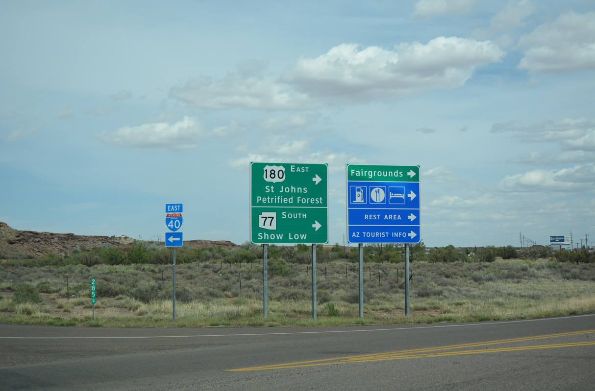
U.S. 180 reaches the entrance to Petrified National Forest in 19.8 miles. The Navajo County Fairgrounds lies at the east end of Hopi Drive, just beyond SR 77 (Navajo Boulevard).
04/27/17
04/27/17
East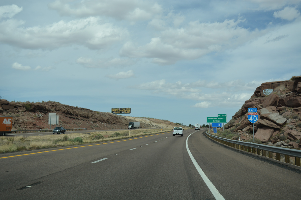
04/27/17

04/27/17
04/27/17
04/27/17
East  North
North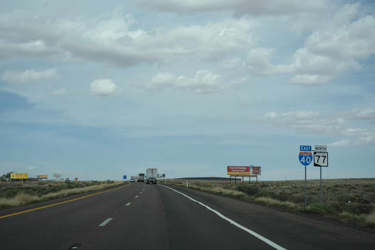
SR 77 north combines with Interstate 40 east for 5.94 miles.
04/27/17
04/27/17
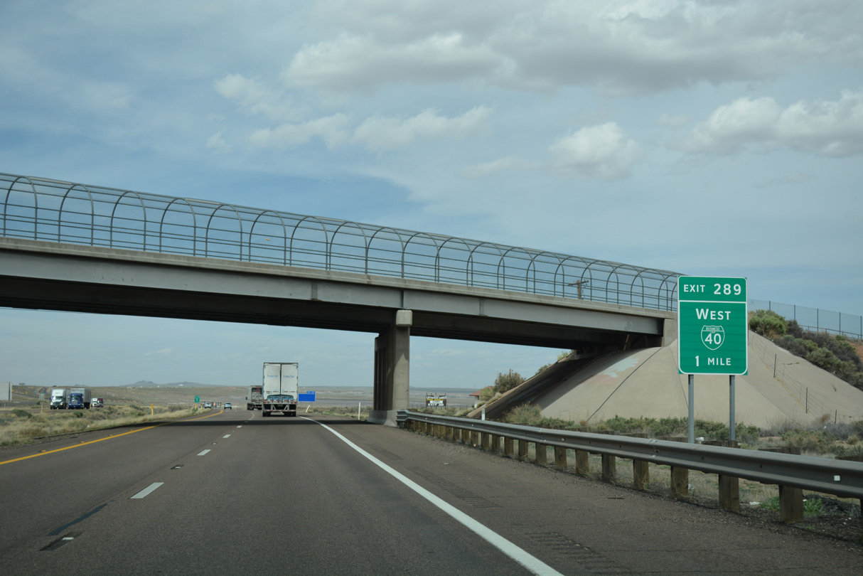
Business Loop I-40 (Navajo Boulevard) concludes a 5.09 mile long course at Exit 289 adjacent to Holbrook Municipal Airport (HBK).
04/27/17
04/27/17

Guide signs for Exit 289 previously referenced Navajo Boulevard along with Business Loop I-40.
04/27/17
04/27/17
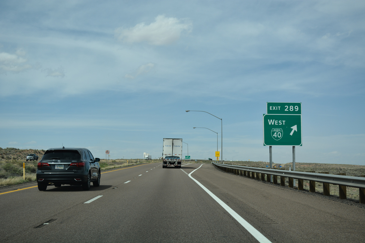
Exit 289 serves an array of chain motels and restaurants located at the east end of Holbrook.
04/27/17
04/27/17

04/27/17

04/27/17

SR 77 was extended north of Interstate 40 in 1963.
04/27/17
04/27/17
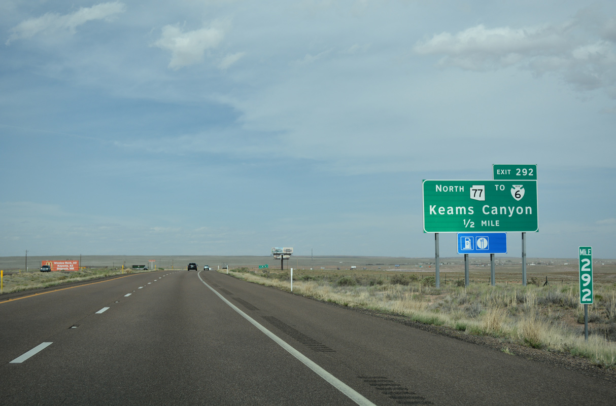
SR 77 concludes 13.93 miles north of Interstate 40 at the boundary of the Najavo Indian Nation.
04/27/17
04/27/17
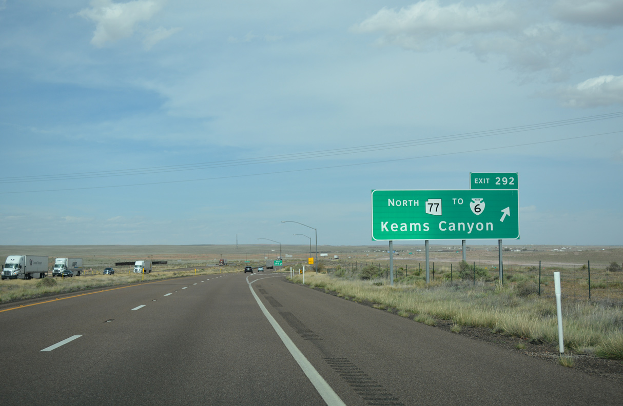
SR 77 north becomes Indian Route 6, which continues 40.96 miles to SR 264 near Keams Canyon.
04/27/17
04/27/17
East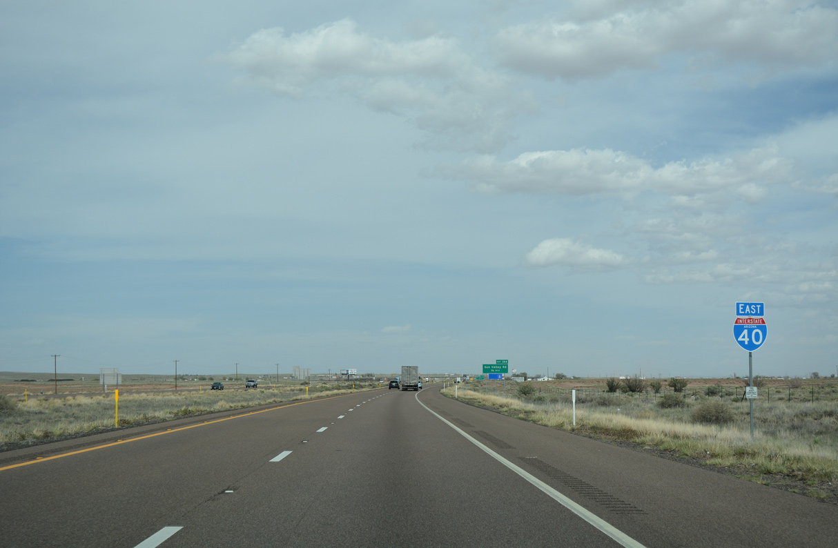
04/27/17
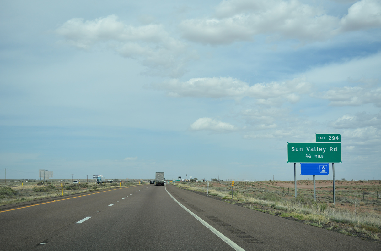
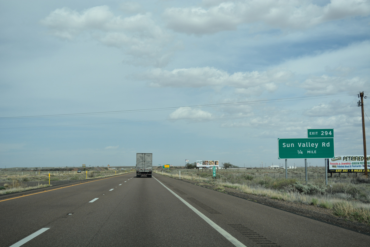
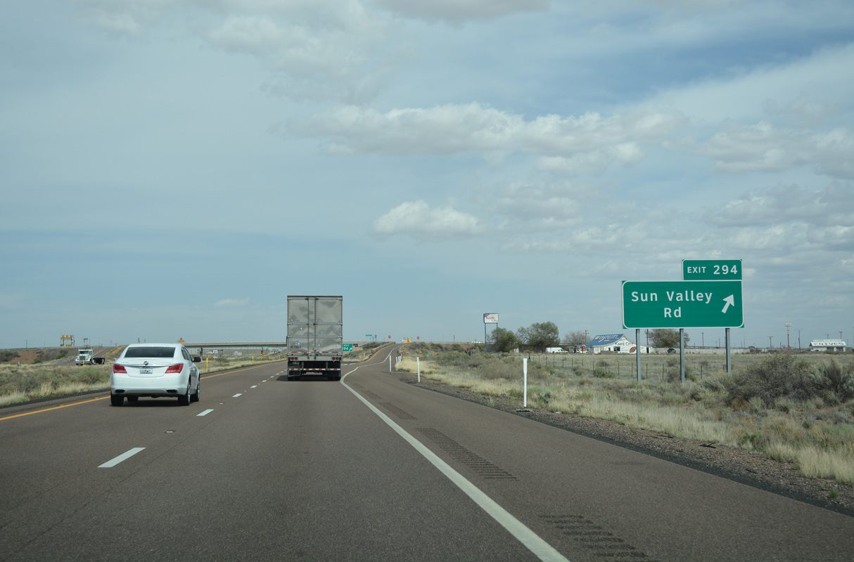
Interstate 40 advances east from SR 77 to the community of Sun Valley.
04/27/17
04/27/17
04/27/17
04/27/17
04/27/17
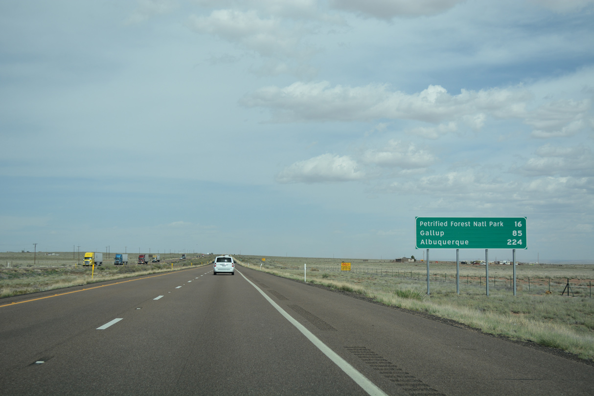
Interstate 40 reaches Petrified Forest National Park in 16 miles and Gallup, New Mexico in 85 miles.
04/27/17
04/27/17
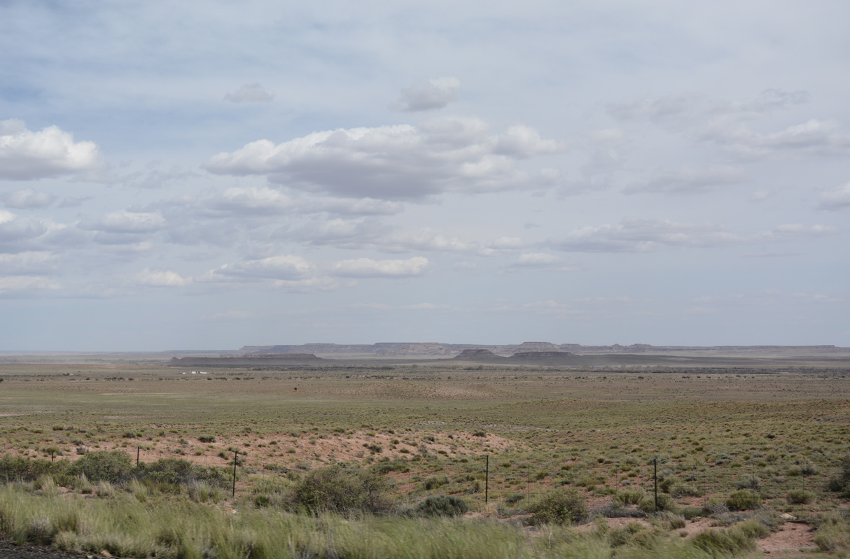
Twin Buttes and Ramsey Slide rise along the far southern horizon.
04/27/17
04/27/17
Interstate 40 navigates east through an S-curve across Twin Wash.
04/27/17
04/27/17
The ranch exit for Goodwater is next along Interstate 40 east.
04/27/17
04/27/17
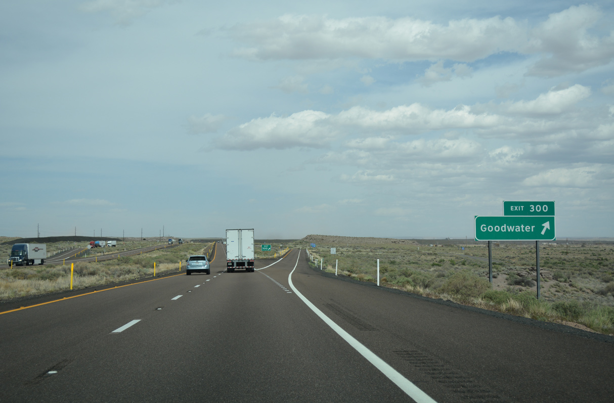
Exit 300 departs eastbound I-40 for Goodwater. The former trading post here closed in 2000, leaving the exit with no services.
04/27/17
04/27/17
04/27/17
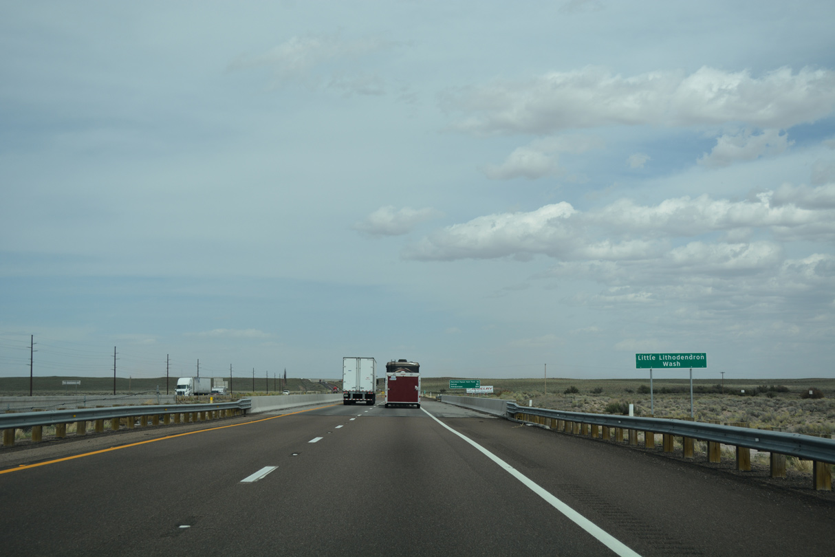
Interstate 40 crosses Little Lithodendren Wash at Goodwater.
04/27/17
04/27/17

Historic U.S. 66 spans Little Lithodendren Wash along adjacent Goodwater Road south of Interstate 40.
04/27/17
04/27/17
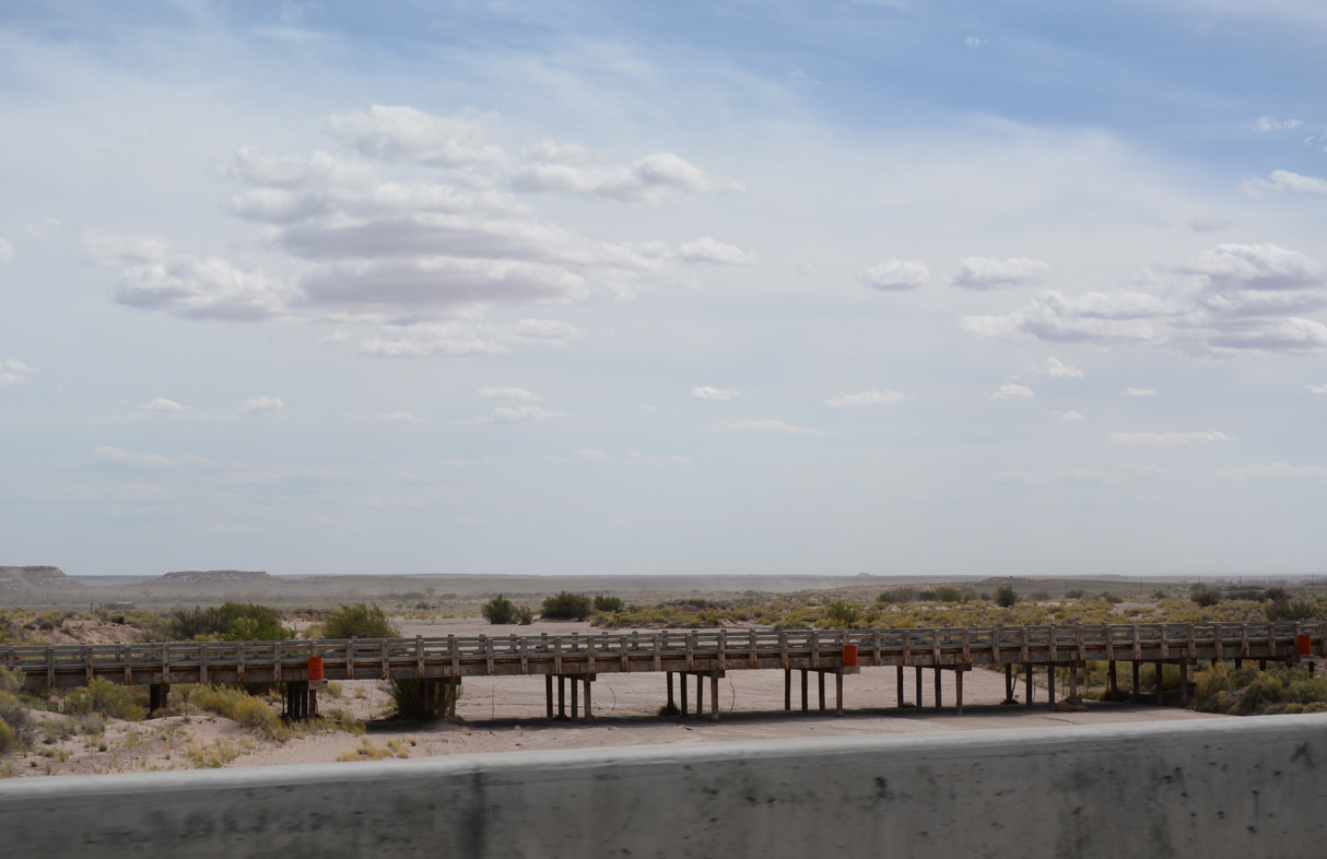
The Lithodendron Wash Bridge along old U.S. 66 is a timber string bridge dating back to 1932.1
04/27/17
04/27/17

04/27/17
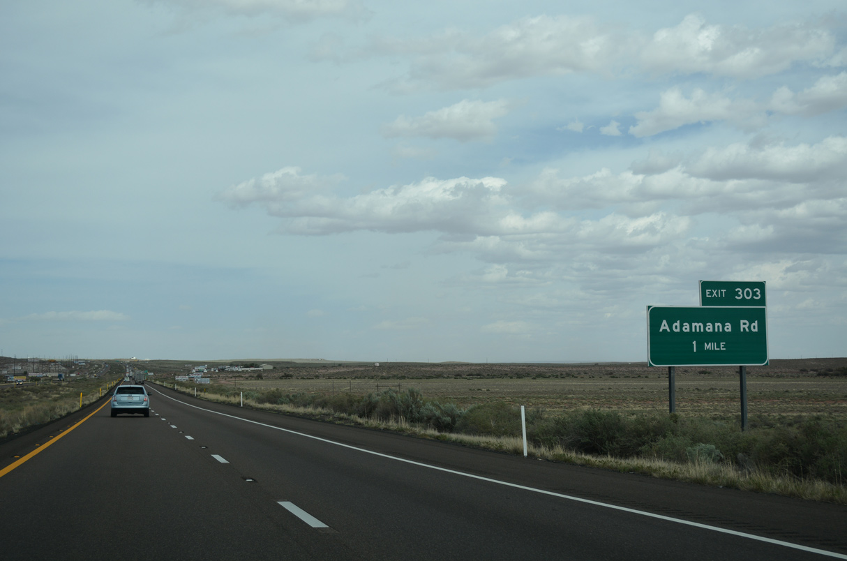
The diamond interchange (Exit 303) with Adamana Road follows Big Lithodendren Wash along Interstate 40 east.
04/27/17
04/27/17

Adamana Road serves the old railroad station of Adamana, created in 1890 to serve Petrified Forest National Monument, as well as Stewart's Petrified Wood, one of the many curio shops along old Route 66.
04/27/17
04/27/17

References:
- Lithodendron Wash Bridge. https://bridgehunter.com/az/navajo/bh48359/ Bridgehunter.com.
Photo Credits:
- ABRoads: 04/27/17
Connect with:
Page Updated Friday April 01, 2022.