
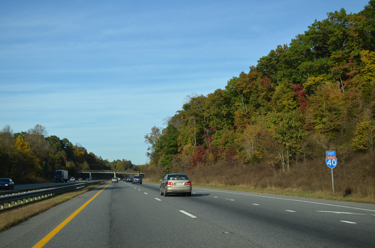
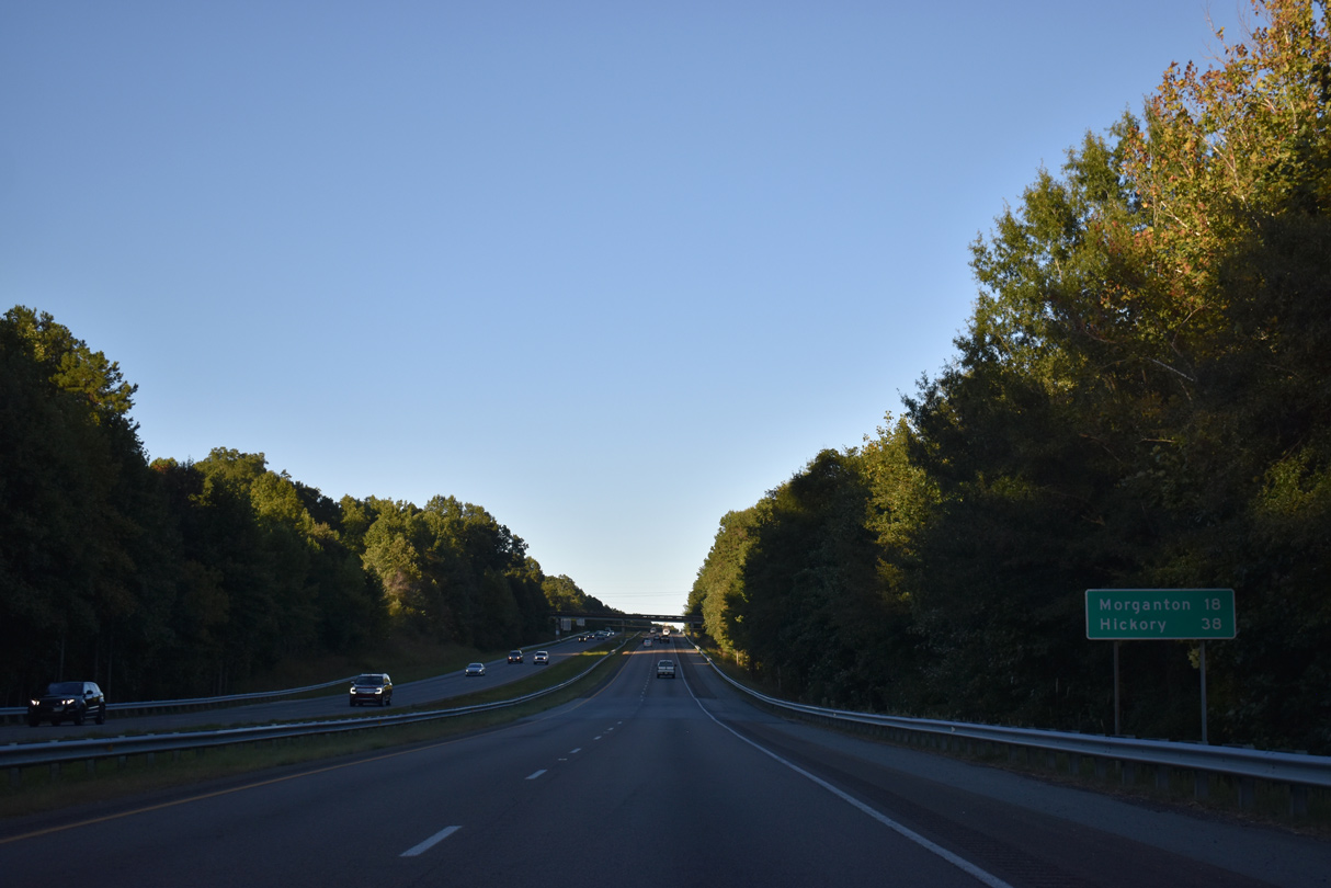
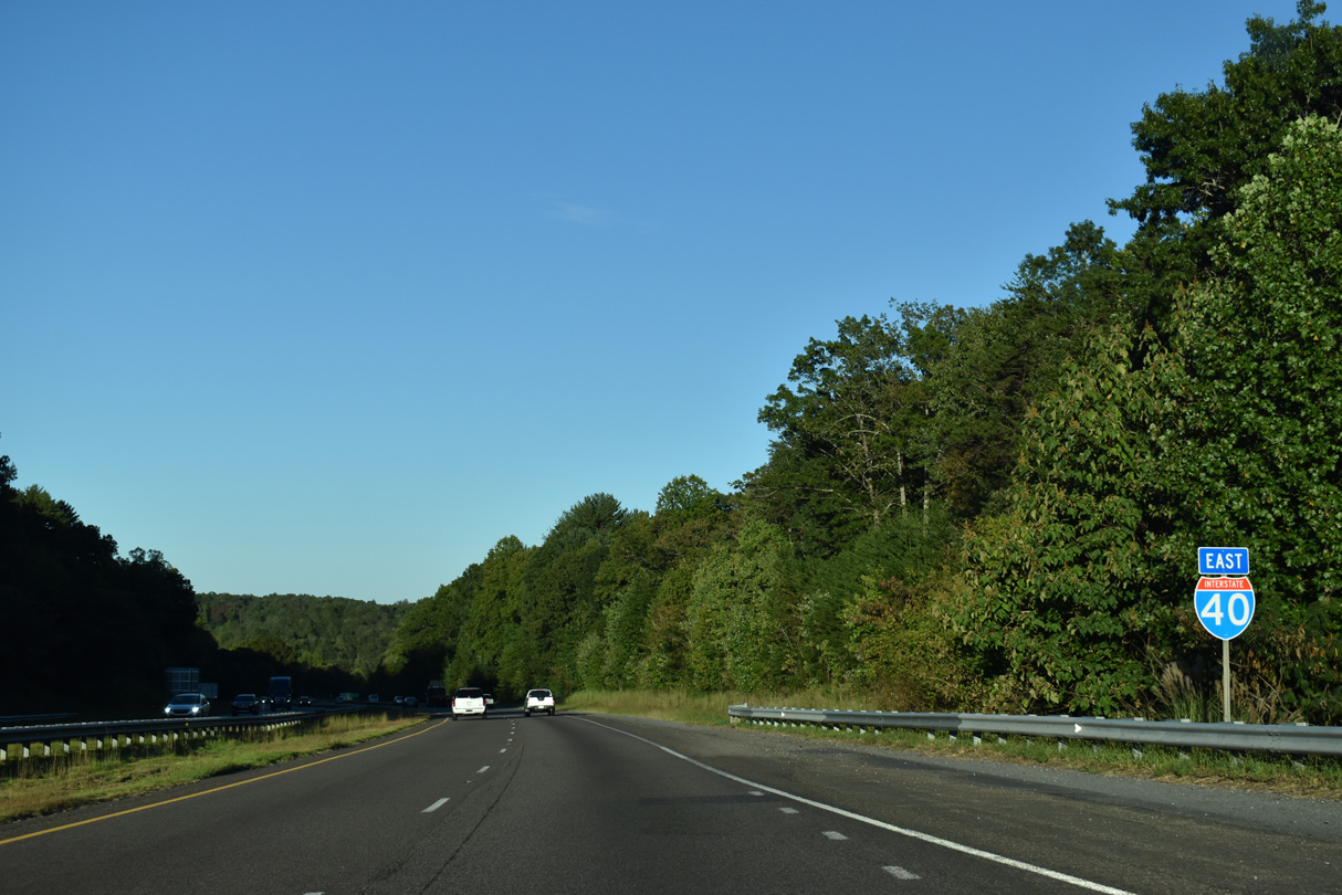
Interstate 40 East - Old Fort to Marion

 East
East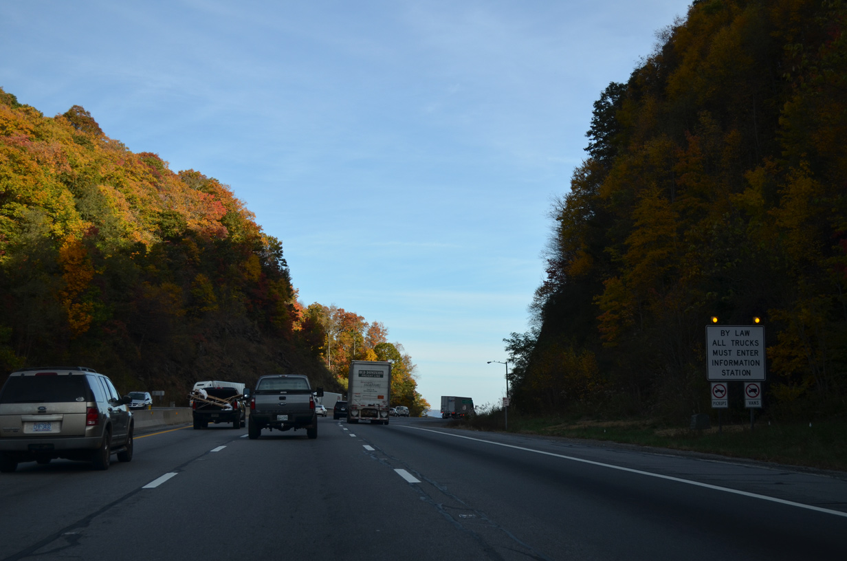
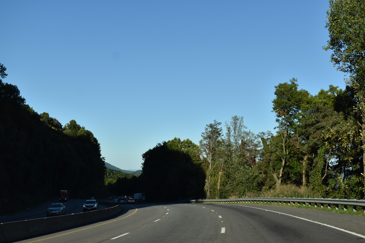
Interstate 40 climbs into the Blue Ridge Mountains through Swannanoa Gap. A truck information pull off lines the eastbound roadway by Kitsuma Peak.
10/23/15
10/23/15
09/23/22
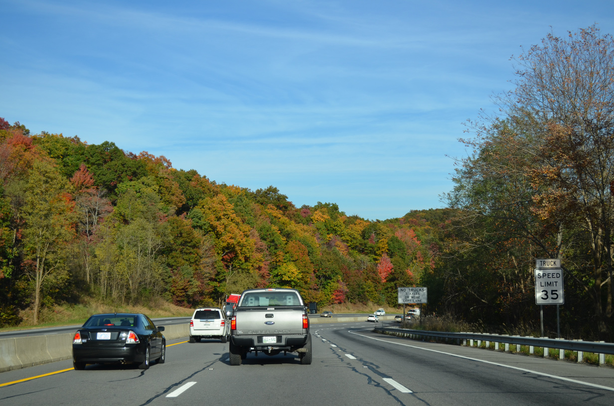
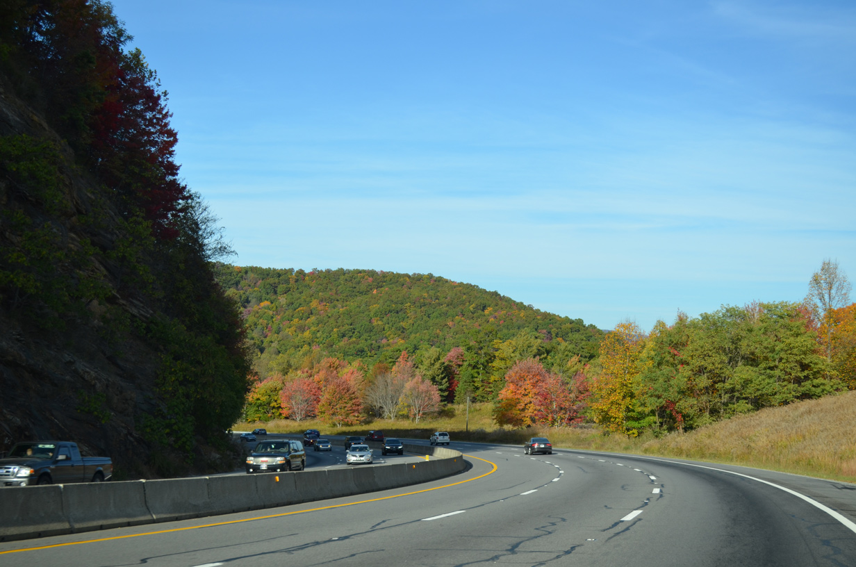
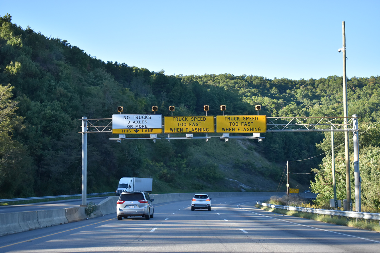
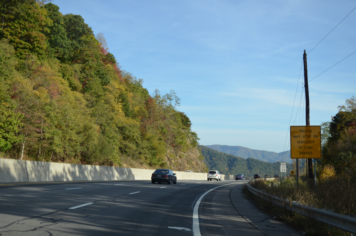
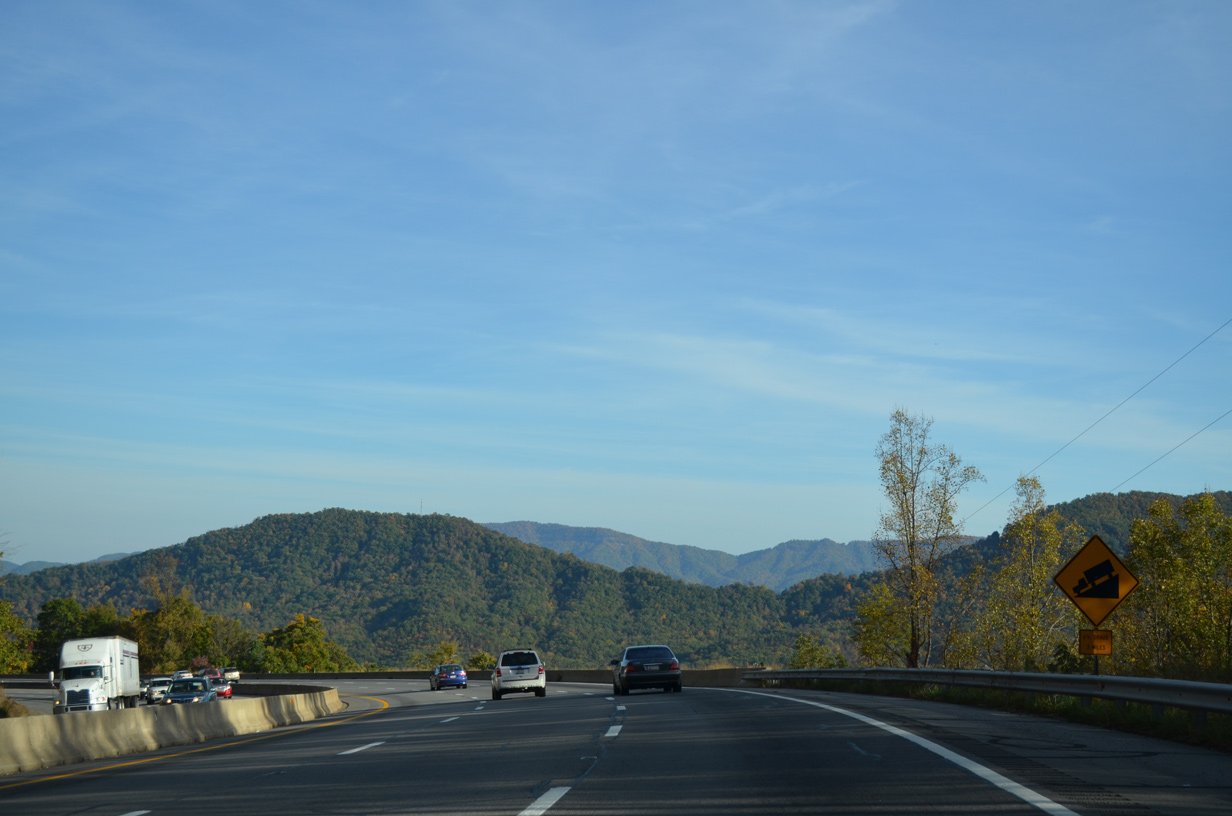
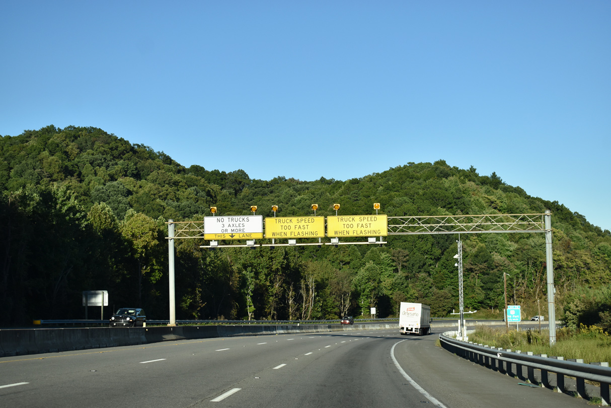
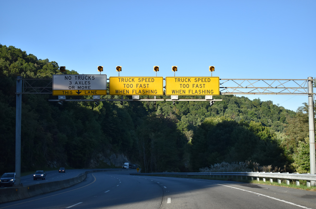
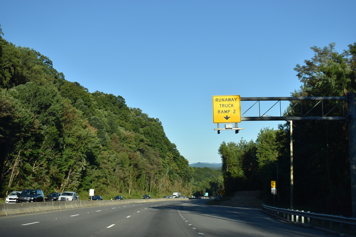
Interstate 40 lowers over 1,300 feet in elevation on the ensuing stretch east along Young Ridge. Trucks are limited to a 35 mile per hour speed limit.
10/23/15
10/23/15
09/23/22
10/23/15
09/23/22
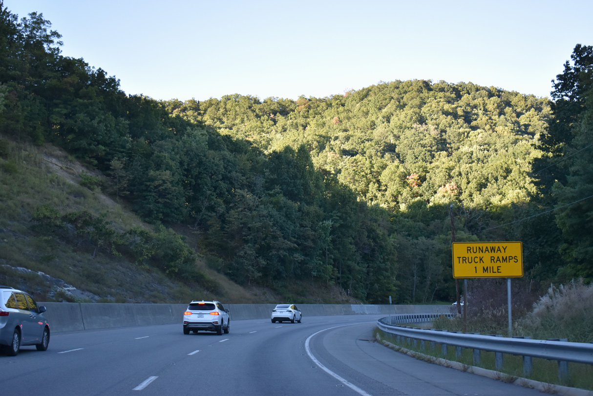
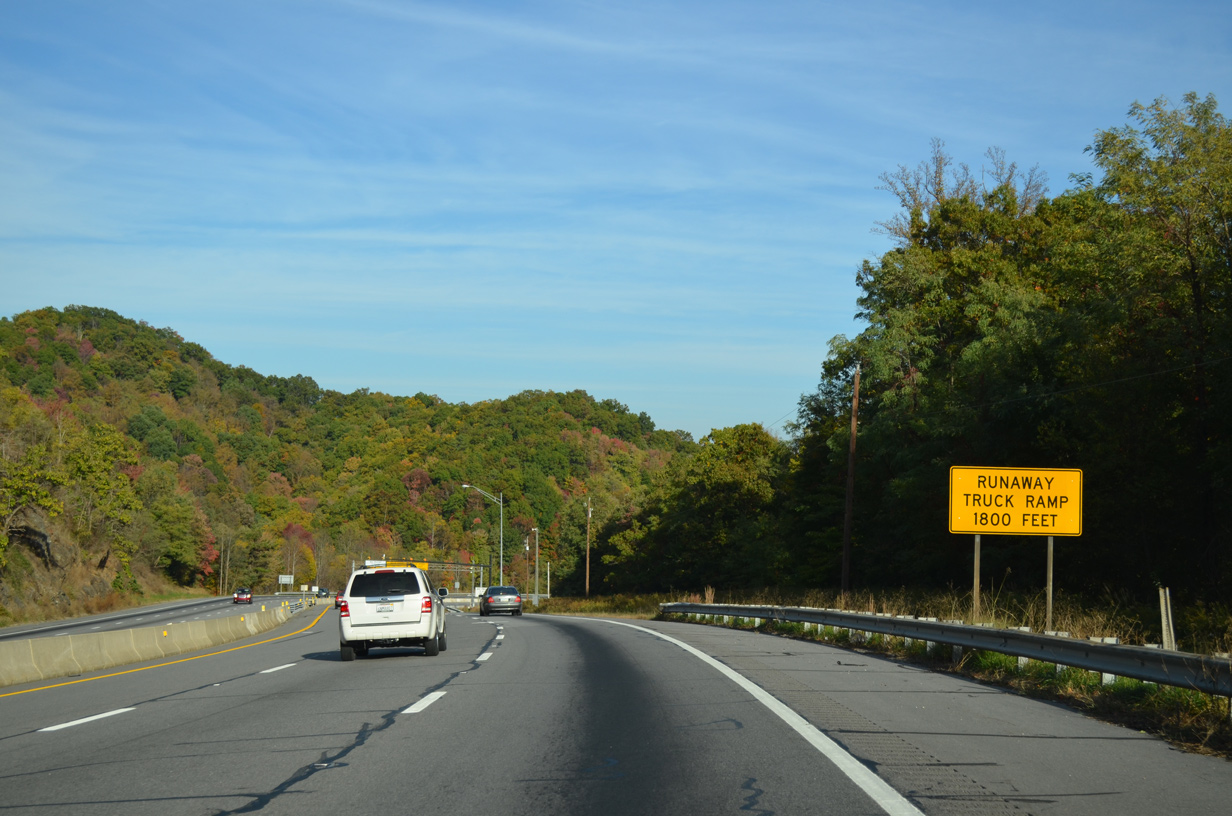
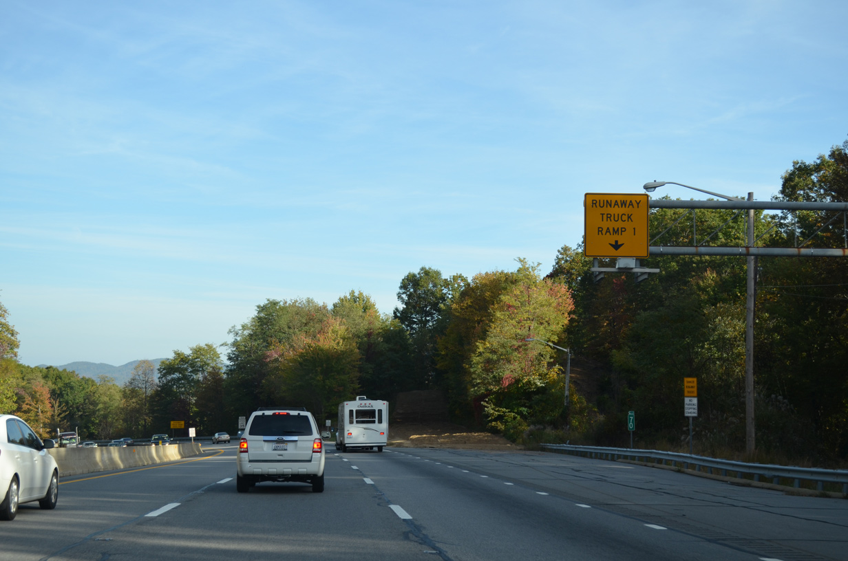
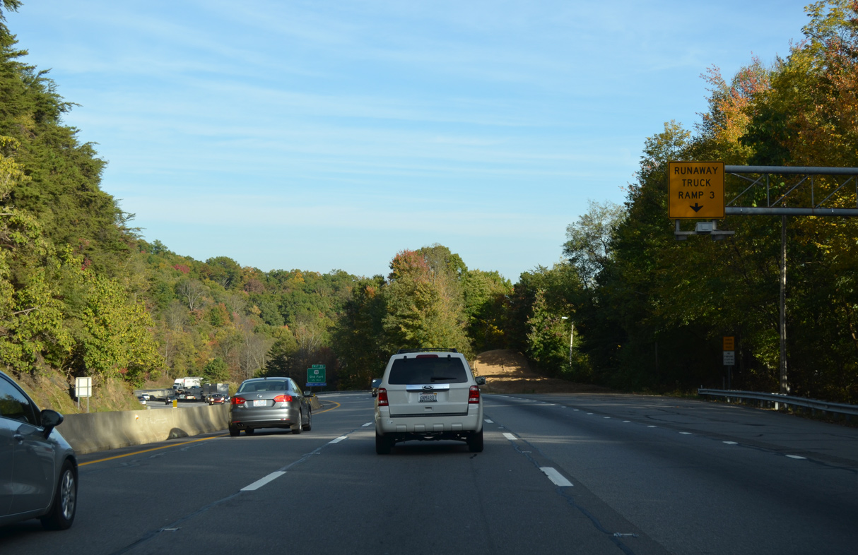
Runaway truck ramps are located eastbound one mile beyond mile marker 69.
09/23/22
09/23/22
10/23/15
10/23/15
09/23/22
10/23/15
09/23/22
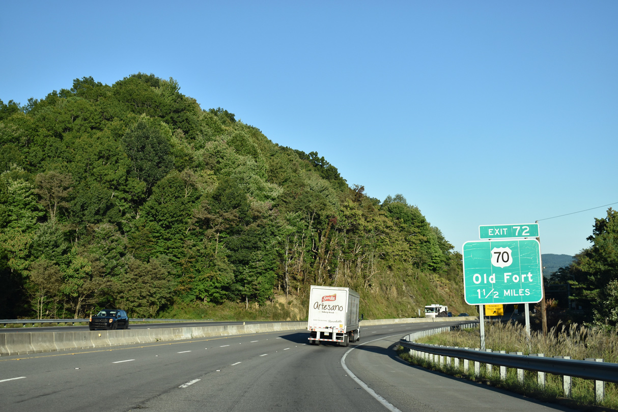
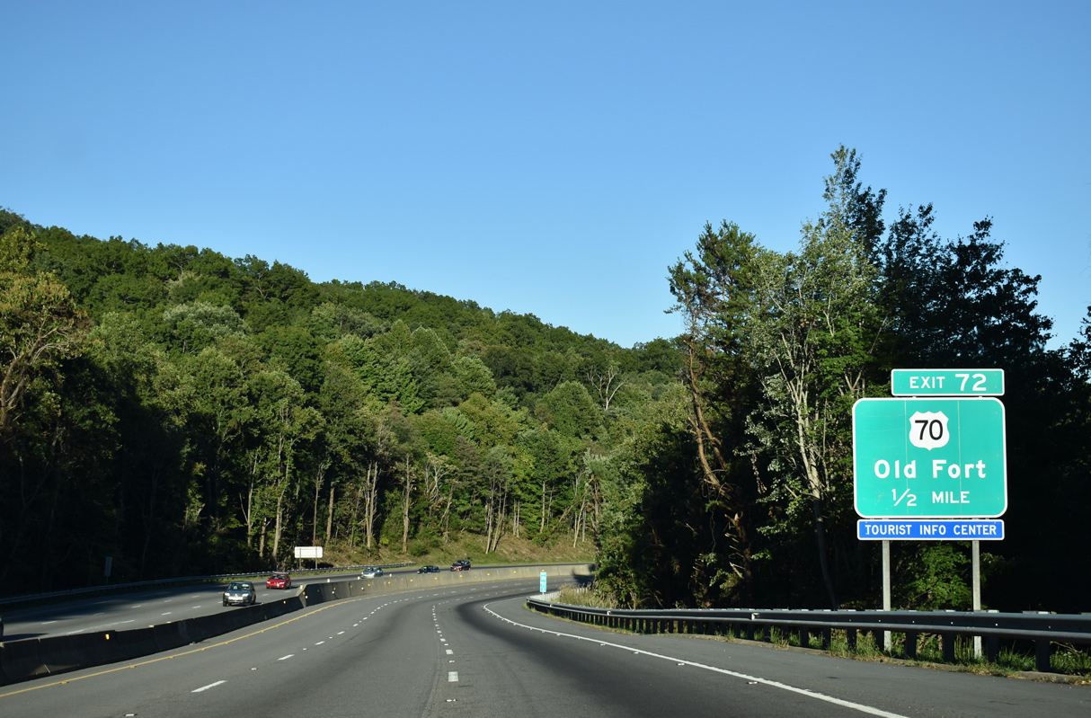
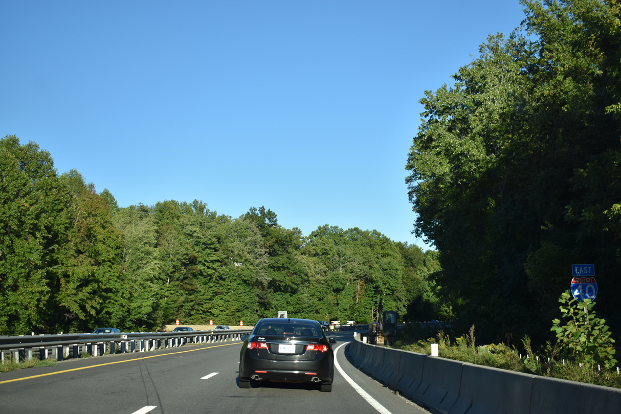
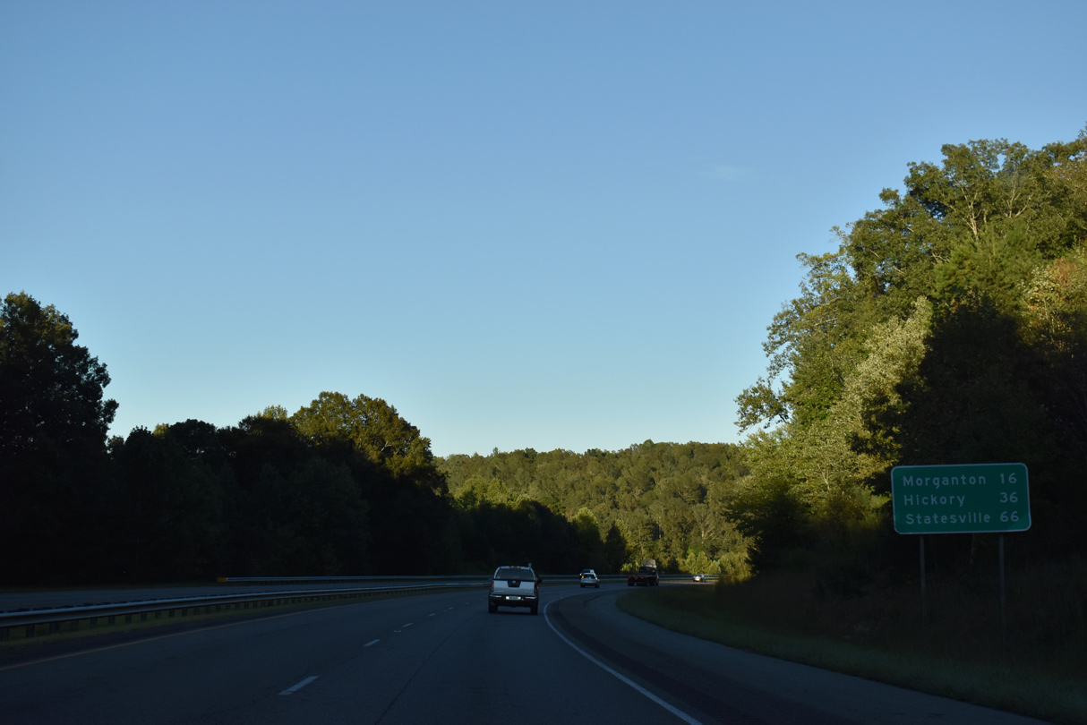
U.S. 70 separates from I-40 east at a wye interchange (Exit 72) to the town of Old Fort.
09/23/22
09/23/22
10/23/15
09/23/22
09/23/22
10/23/15
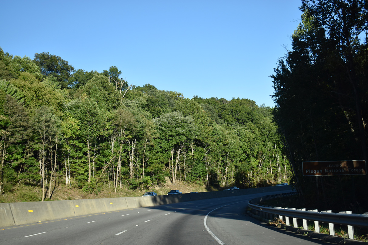
I-40 historically navigated through a sharp curve at Exit 72. The freeway was realigned along with the wye interchange for U.S. 70 to greatly improve the roadway geometry.
09/23/22
09/23/22
09/23/22

09/23/22
East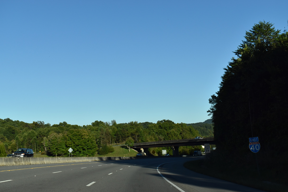
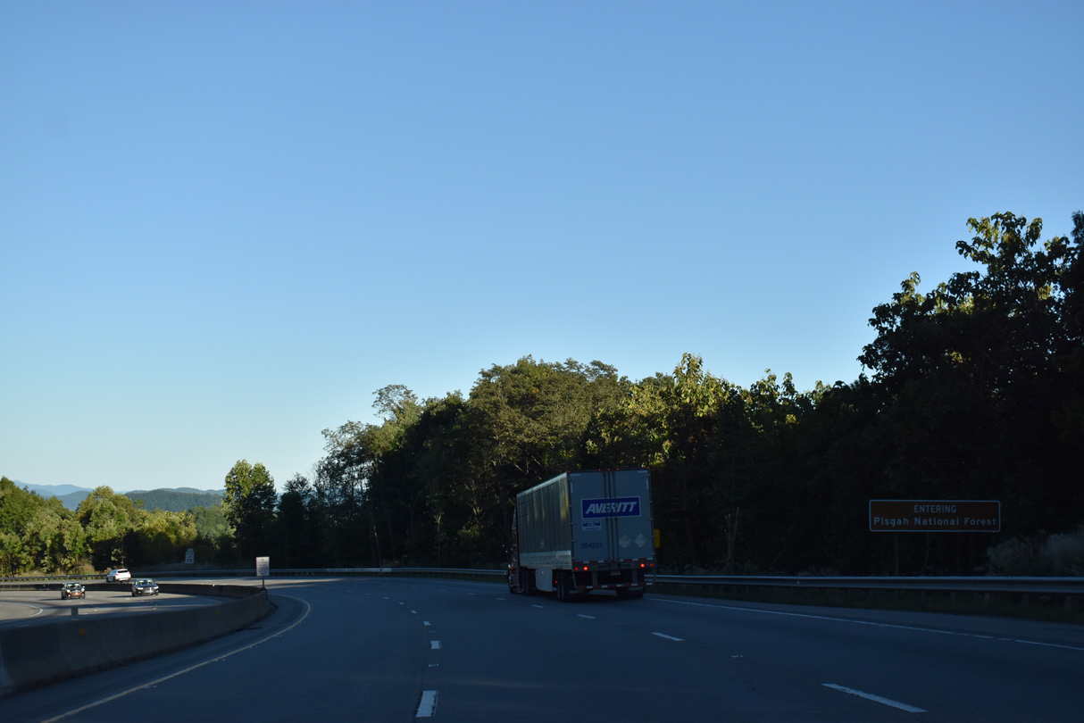
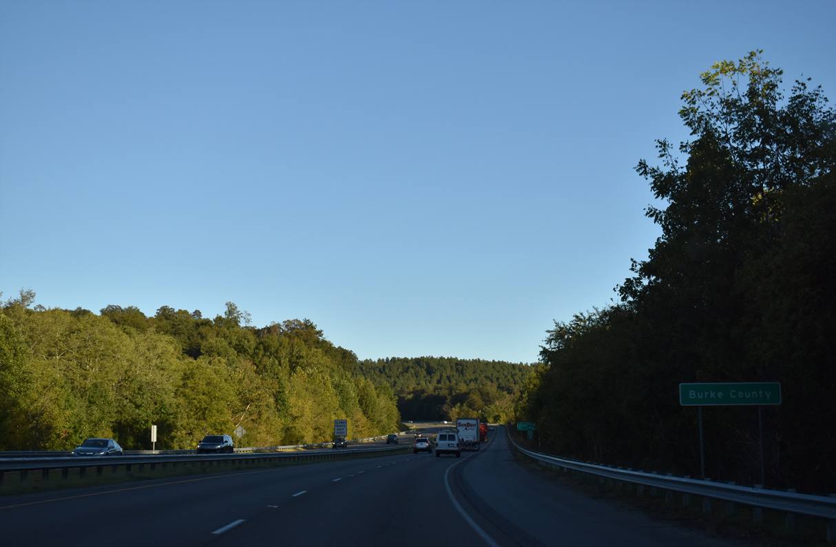
Interstate 40 bypasses Old Fort to the south.
09/23/22
09/23/22
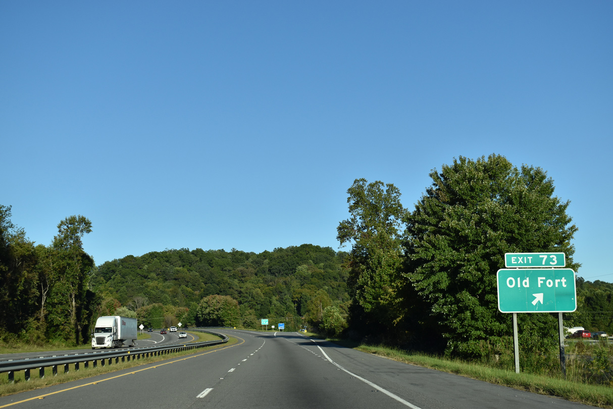
Catawba Avenue (SR 1103) connects Interstate 40 with the Old Town business district to the north of Exit 73.
09/23/22
09/23/22
09/23/22
09/23/22
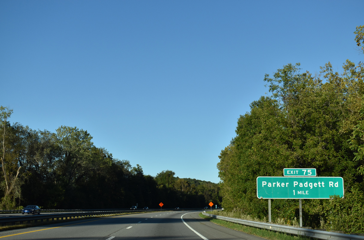
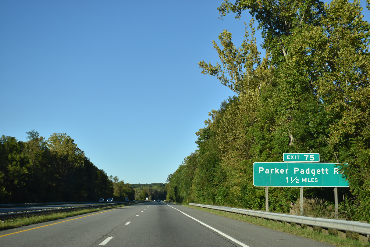
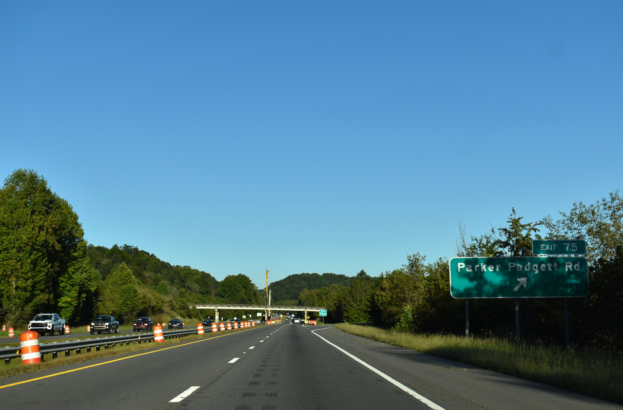
I-40 arcs northeast along side the Catawba River to a parclo interchange (Exit 75) with Parker Padgett Road (SR 1240).
09/23/22
09/23/22
09/23/22
09/23/22
10/23/15
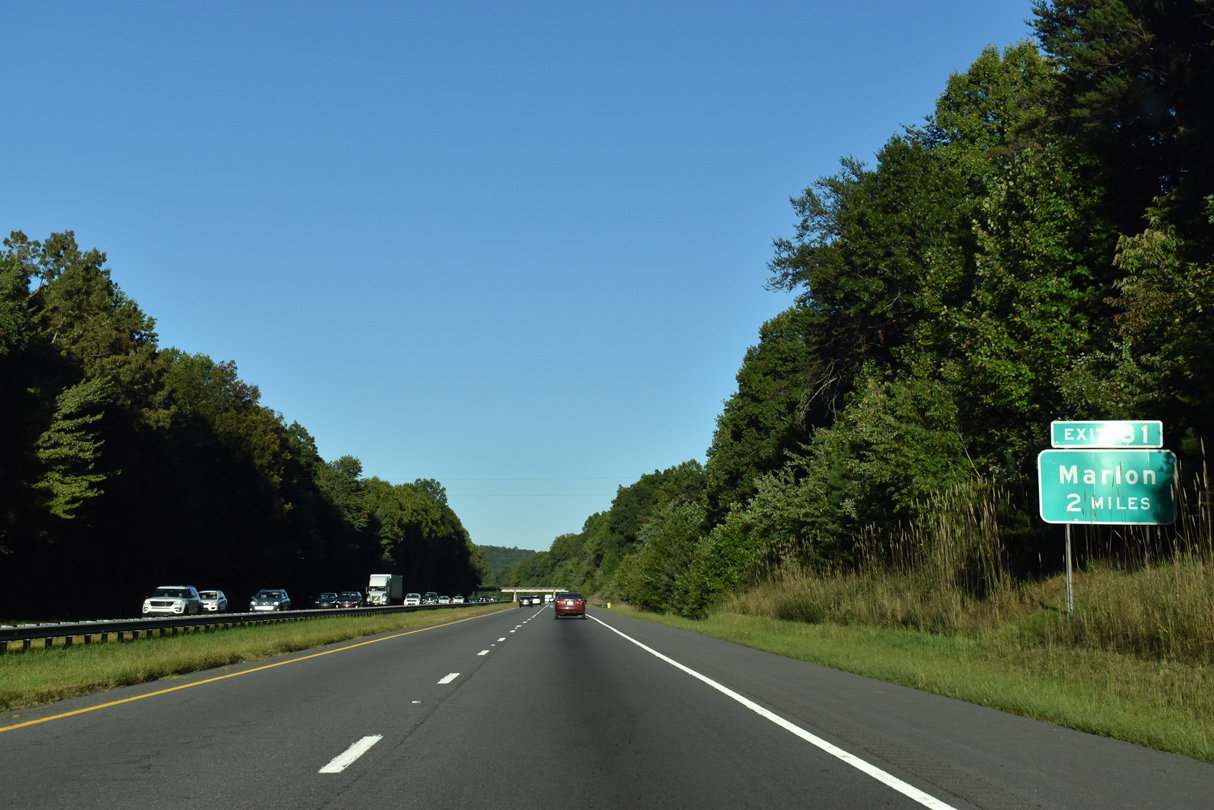
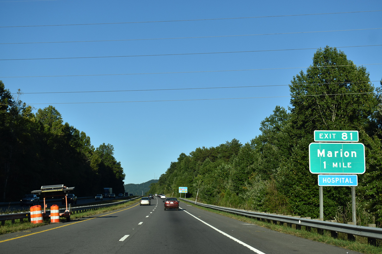
Interstate 40 passes by the unincorporated community of Providence ahead of Exit 81 to Sugar Hill Road (SR 1001).
09/23/22
09/23/22
Sugar Hill Road weaves northeast through the community of West Marion to Henderson Street in the city of Marion.
09/23/22
09/23/22

Sugar Hill Road (SR 1001) arcs southward through Providence to a valley between Lewis and Jones Mountains and the community of Sugar Hill.
09/23/22
09/23/22
09/23/22
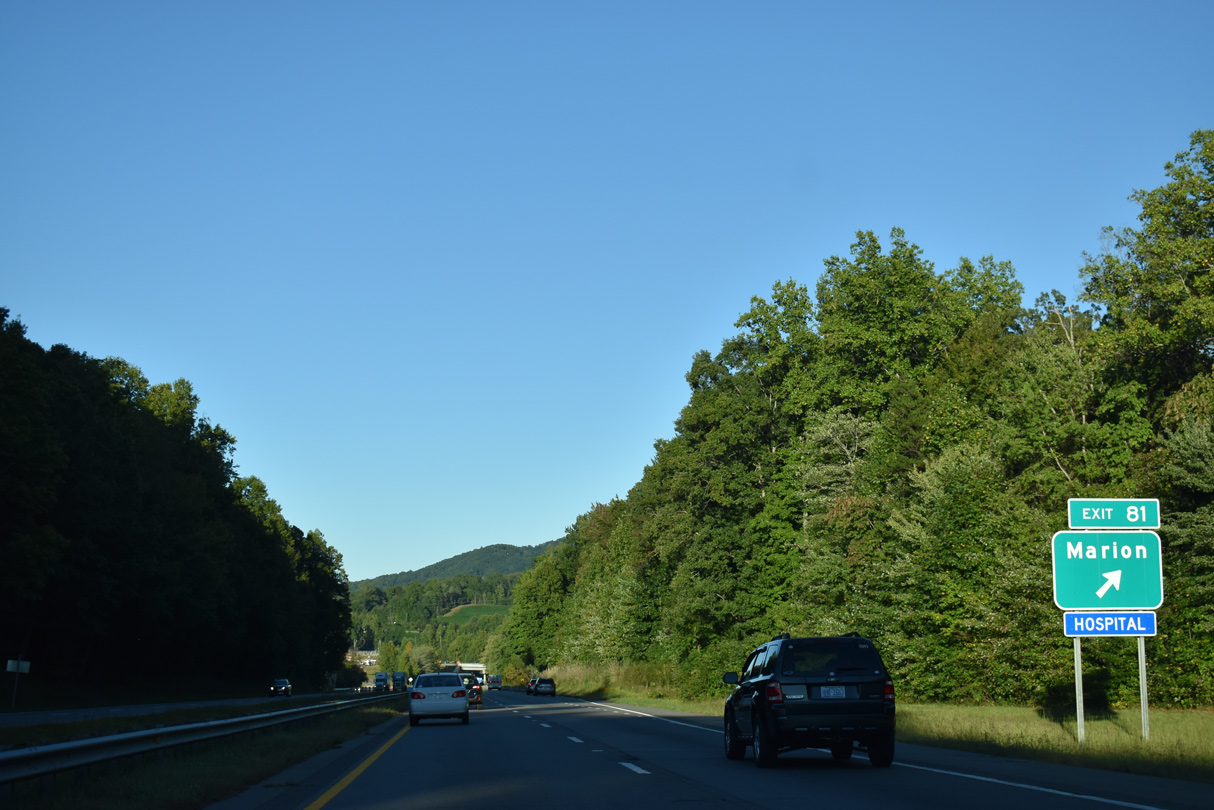
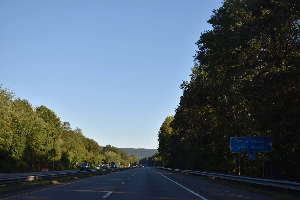
Interstate 40 curves around Pool Mountain at Exit 81, one mile ahead of the McDowell County Rest Area.
10/23/15
10/23/15
09/23/22
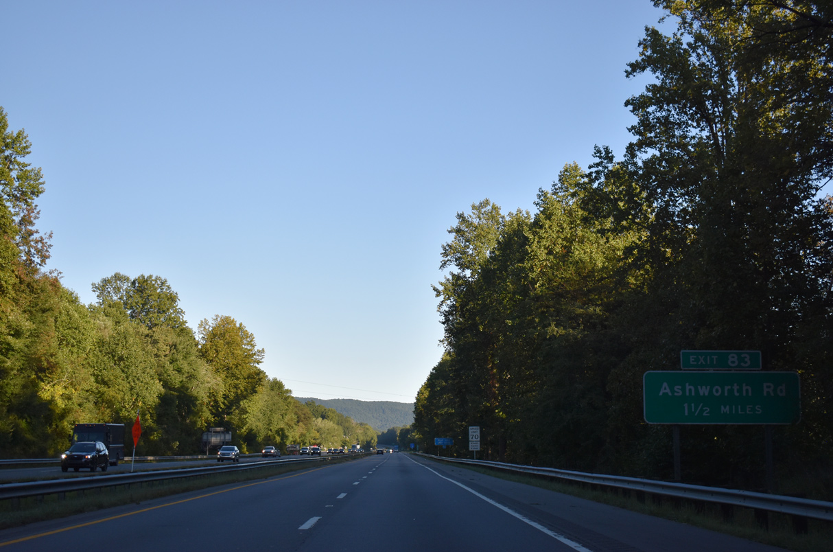
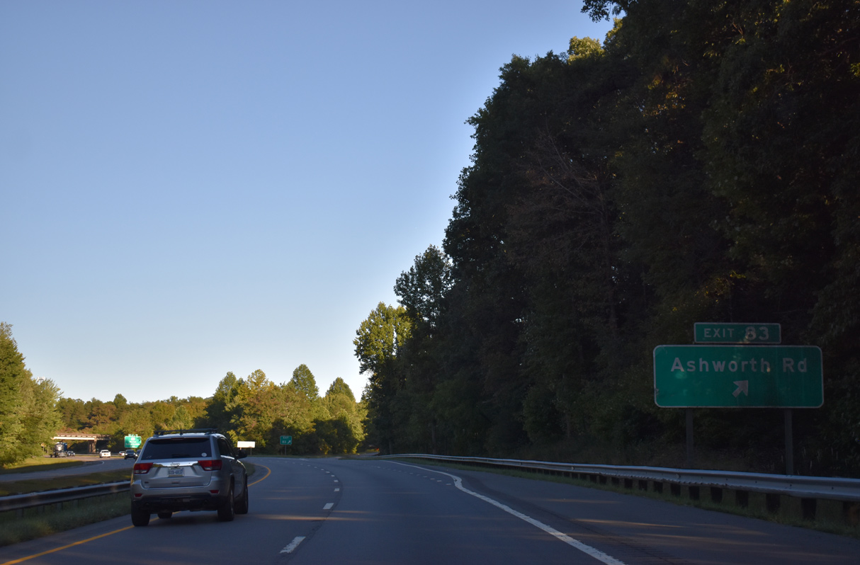
Ashworth Road (SR 1168) heads south from West Marion to a diamond interchange with I-40 at Exit 83.
09/23/22
09/23/22
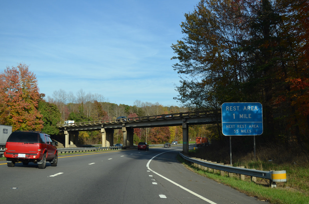
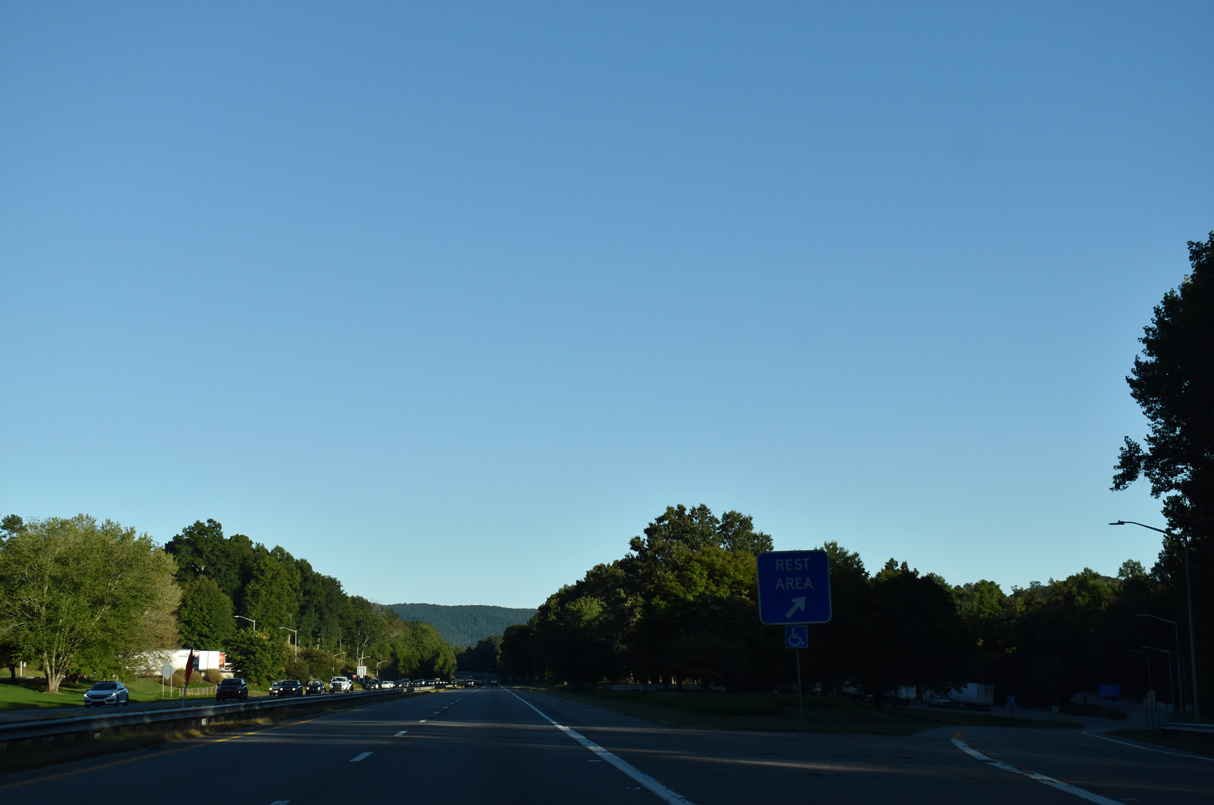
The eastbound rest area lies next to the Habersham Mountains and North Muddy Creek.
09/23/22
09/23/22
09/23/22

09/23/22
09/23/22
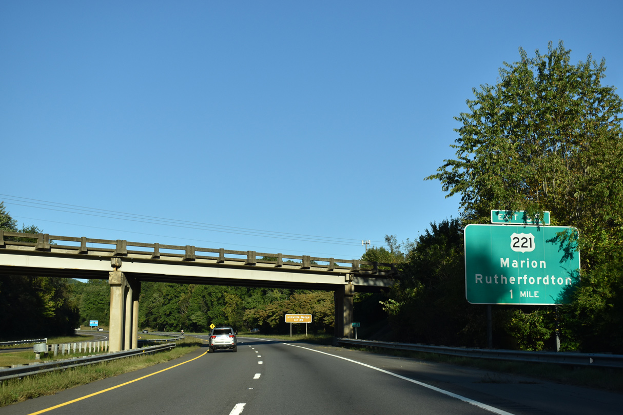
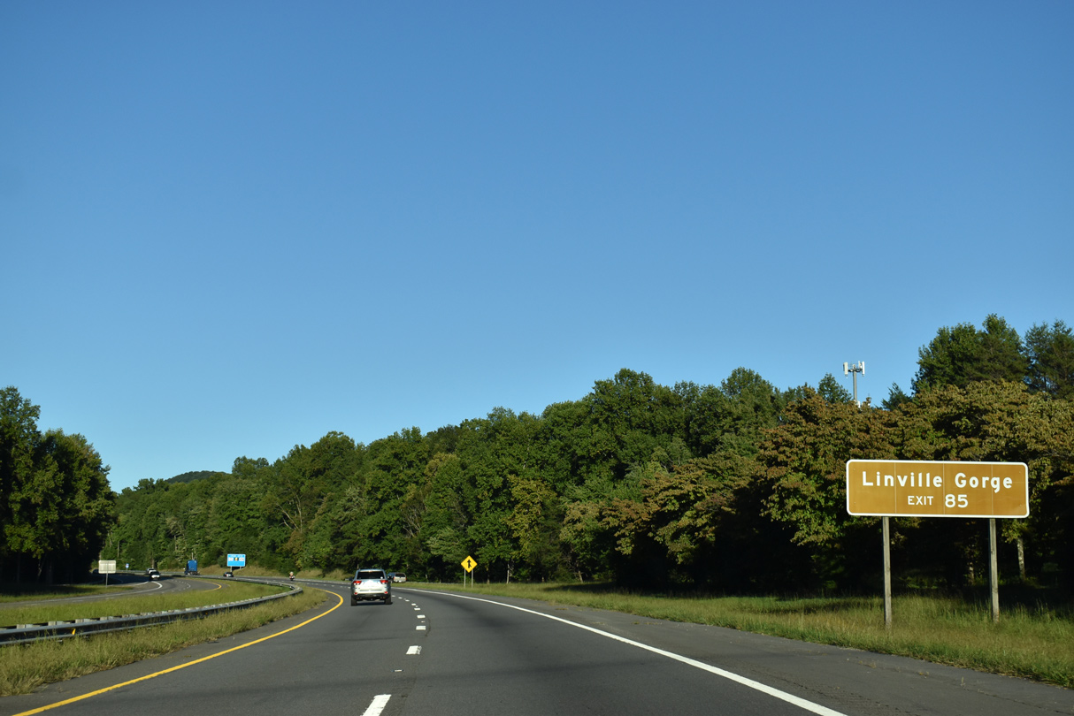
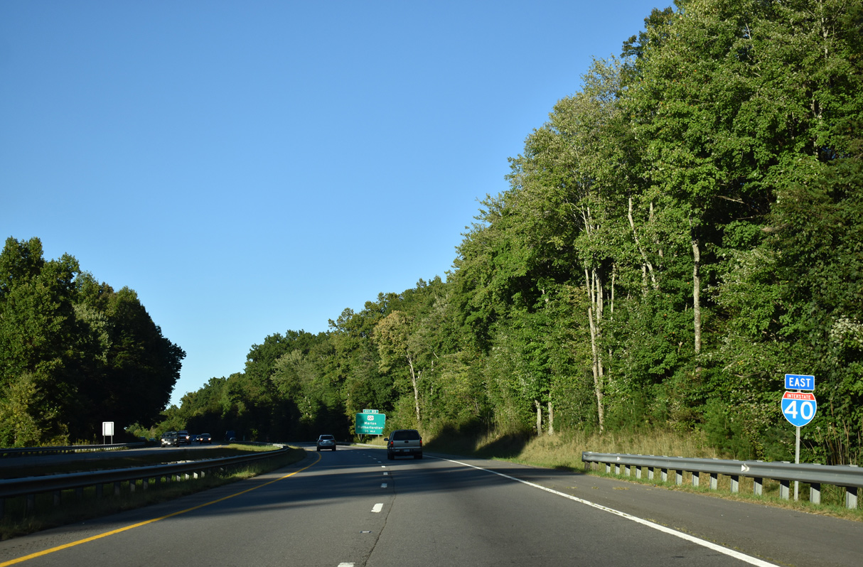
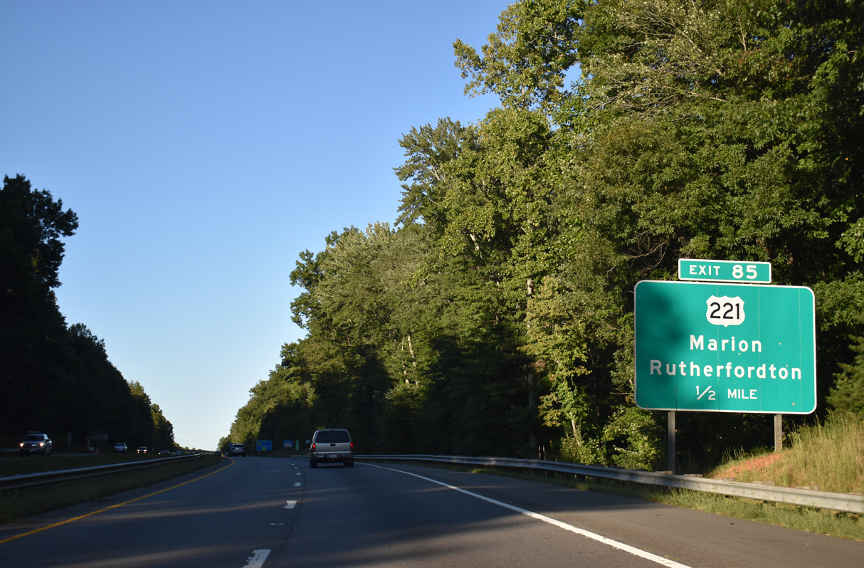
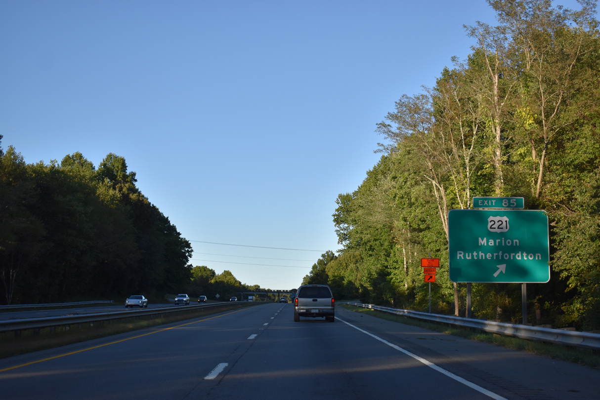
U.S. 221 converges with Interstate 40 between Grant and Smith Mountains at Exit 85.
09/23/22
09/23/22
09/23/22
09/23/22
North from Exit 81, U.S. 221 encircles Grant Mountain to an expressway bypass of Marion.
09/23/22
09/23/22
U.S. 221 travels south to the Rutherford County seat of Rutherfordton.
09/23/22
09/23/22
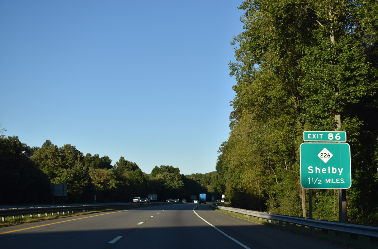
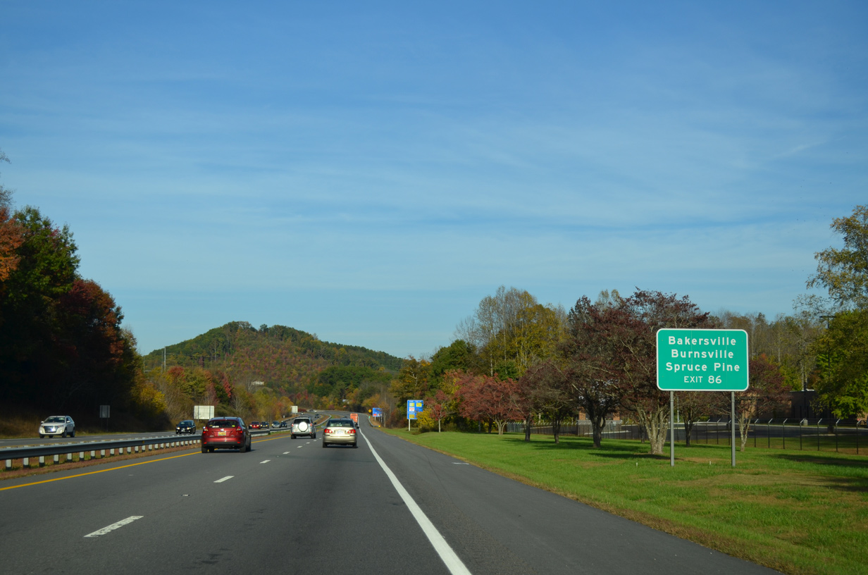
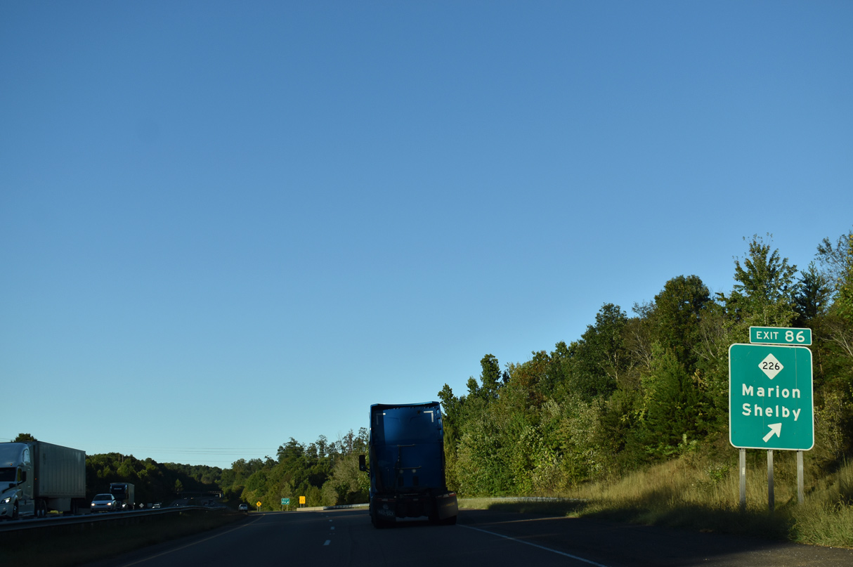
NC 226 branches southeast from U.S. 221 to a folded diamond interchange (Exit 86) with Interstate 40 near Jamison Mountain.
09/23/22
09/23/22
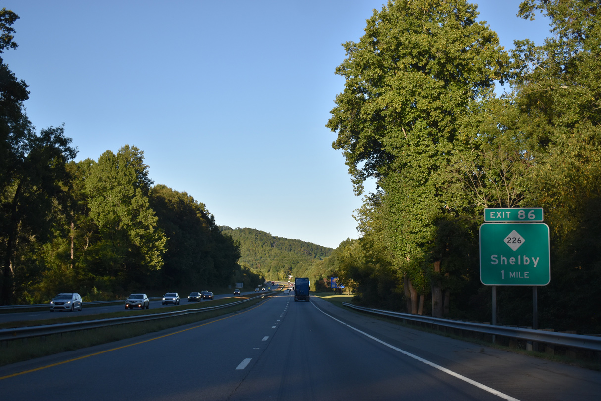
NC 226 traverses the South Mountains southeast to Shelby.
09/23/22
09/23/22
10/23/15
09/23/22
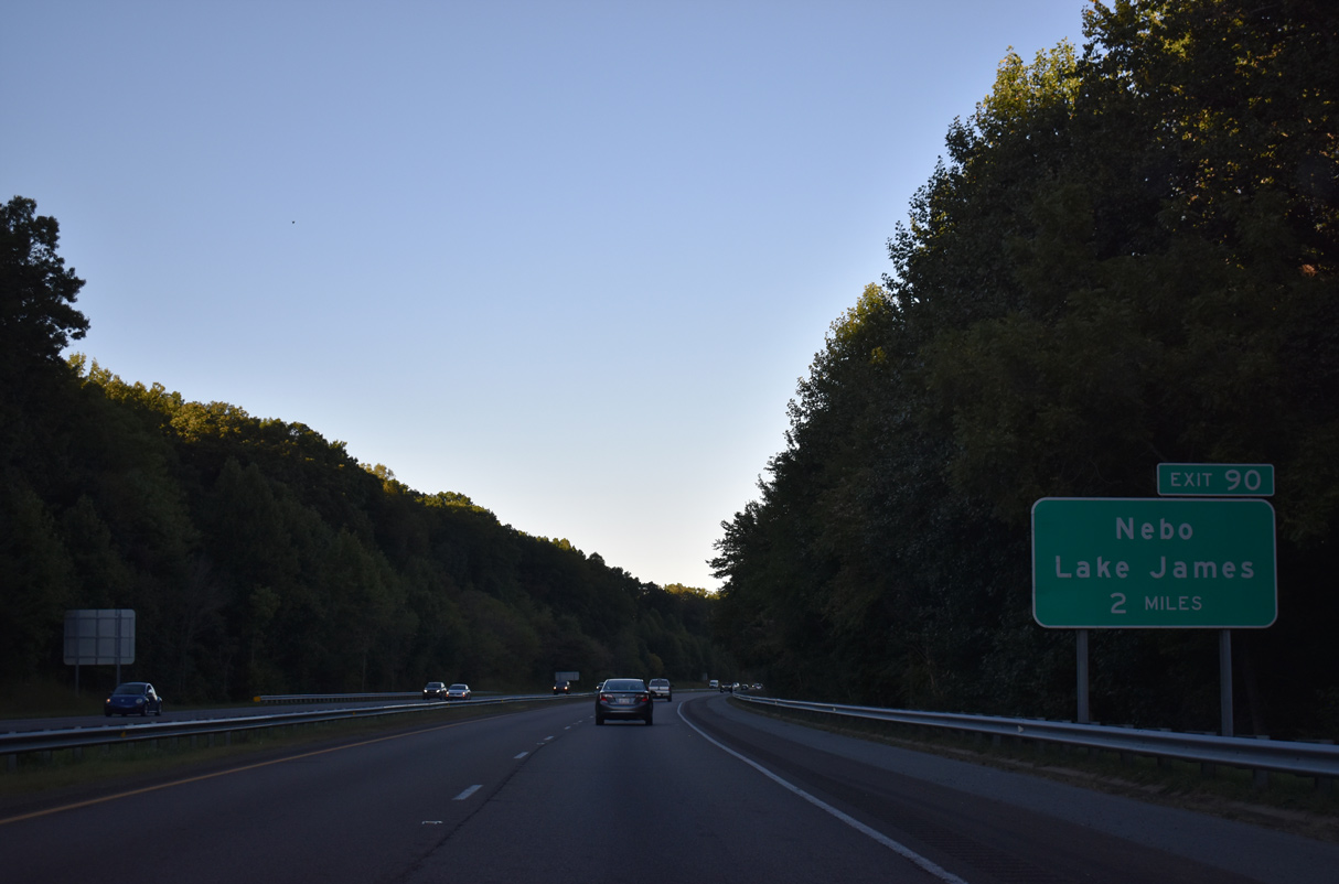
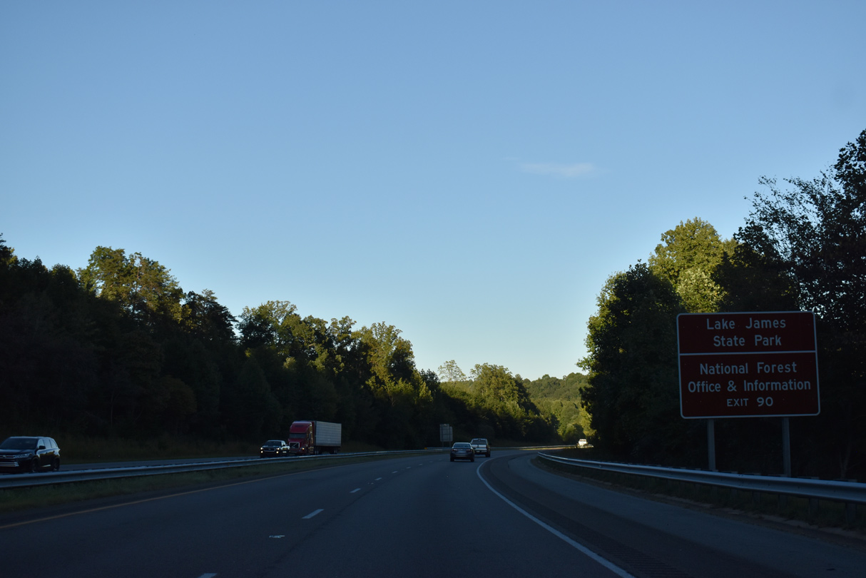
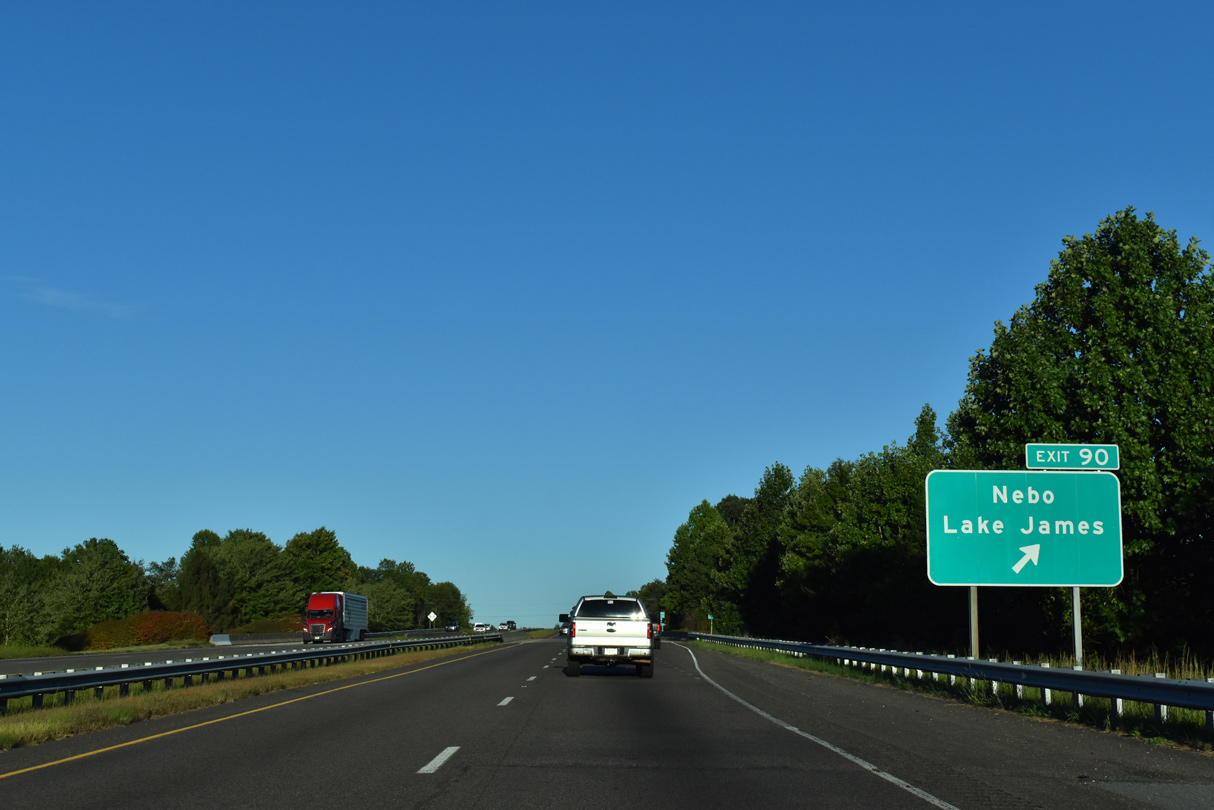
10/23/15
09/23/22
09/23/22
09/23/22

09/23/22
09/23/22
09/23/22
09/23/22
09/23/22
Photo Credits:
- Alex Nitzman: 10/23/15
- Brent Ivy: 09/23/22
Connect with:
Page Updated Friday September 23, 2022.