
Interstate 40
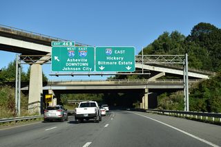
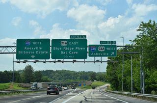
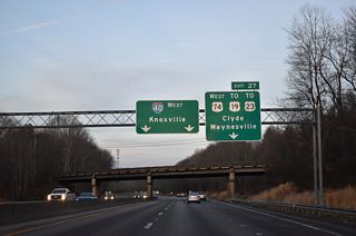
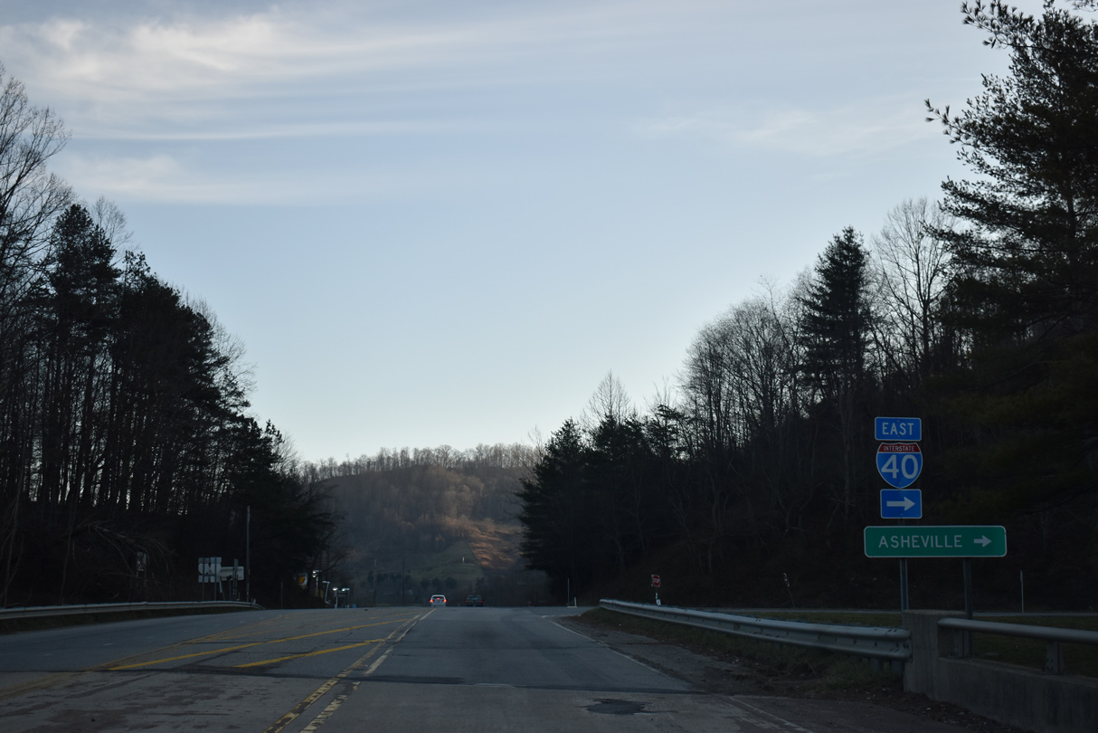
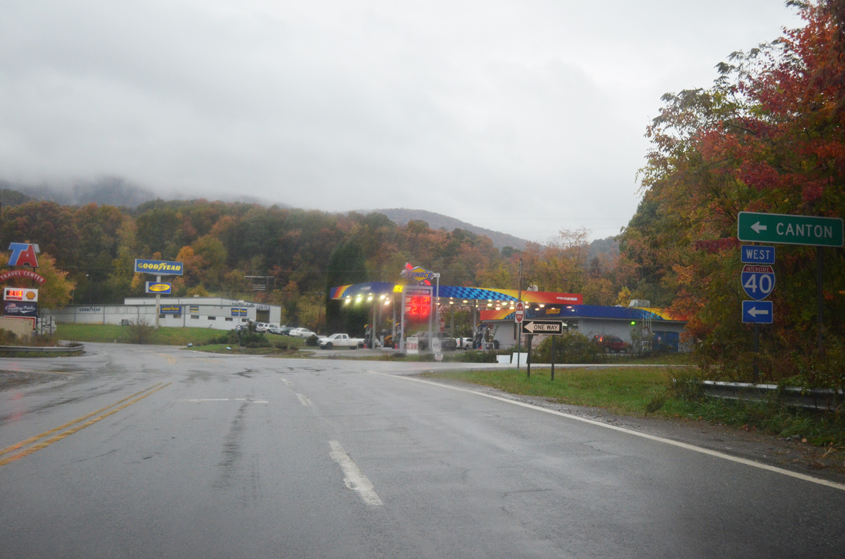
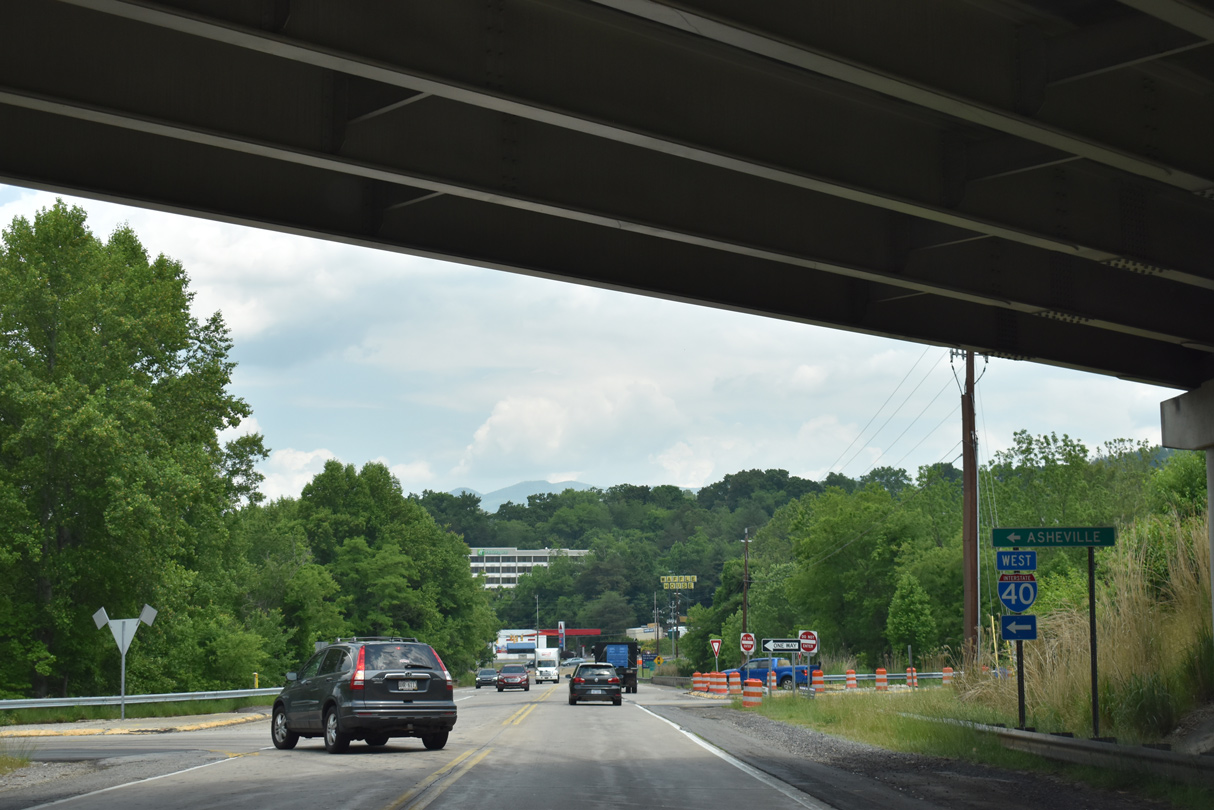
Interstate 40 crosses nearly the width of North Carolina, joining the metropolitan areas of Asheville, the Piedmont Triad, Raleigh-Durham and Wilmington along a 420.21 mile long course. Entering the state through Pigeon River Gorge, I-40 traverses the Great Smoky Mountains south to U.S. 276 near Lake Junaluska. The freeway turns east, combining with U.S. 74 from Clyde to Interstate 26 at Asheville. I-240 provides an urban loop linking I-40 with Downtown Asheville and the continuation of I-26 north to the Tri-Cities in northeastern Tennessee.
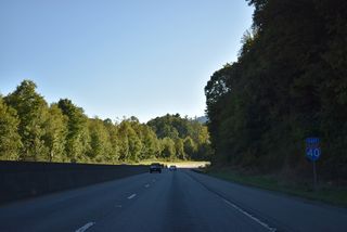
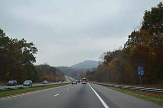
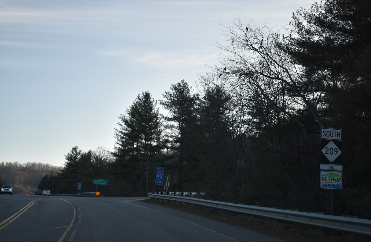
East from Asheville, I-40 continues through a valley between the Great Craggy and Swannanoa Mountains to Black Mountain. Gaining elevation from there, Interstate 40 crosses the Blue Ridge mountains through Swannanoa Gap, a fog prone stretch across Pisgah National Forest. Advancing across the North Carolina Piedmont, I-40 passes south of Marion and Morganton en route to Hickory.
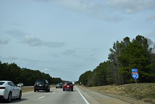
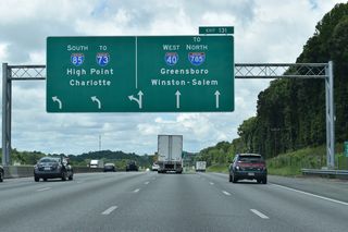
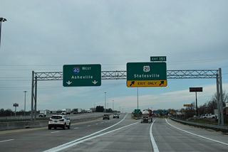
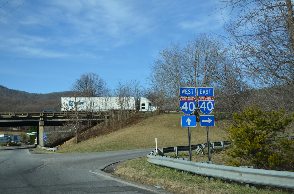
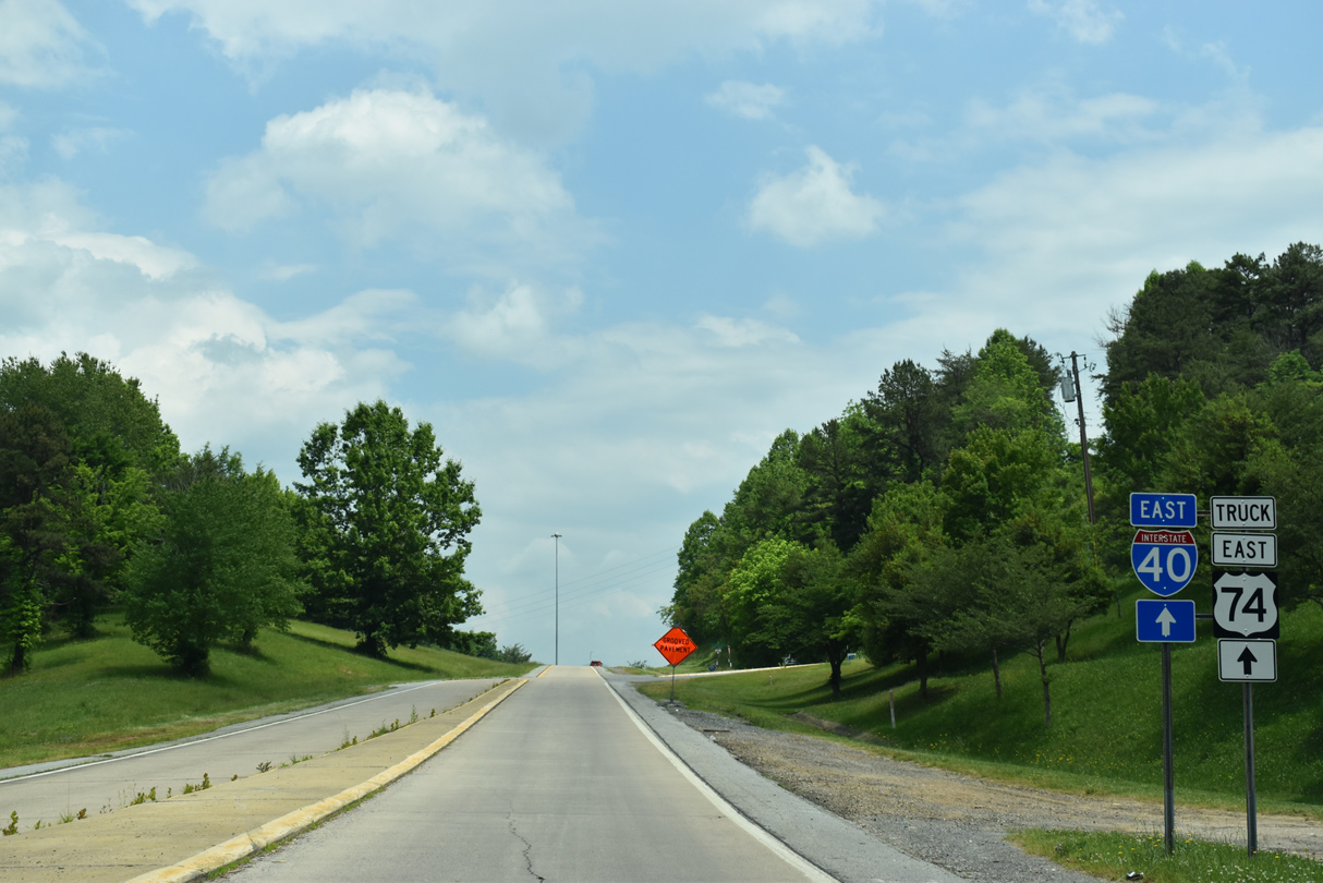
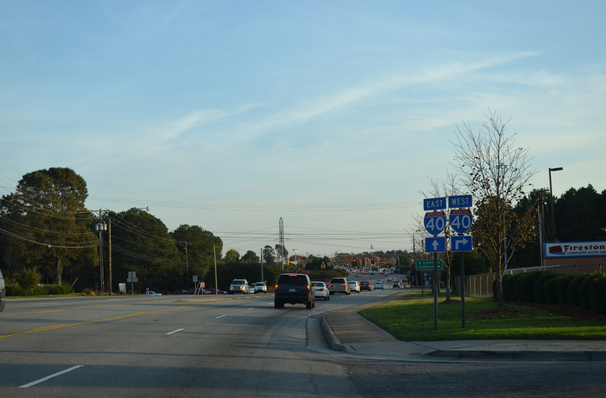
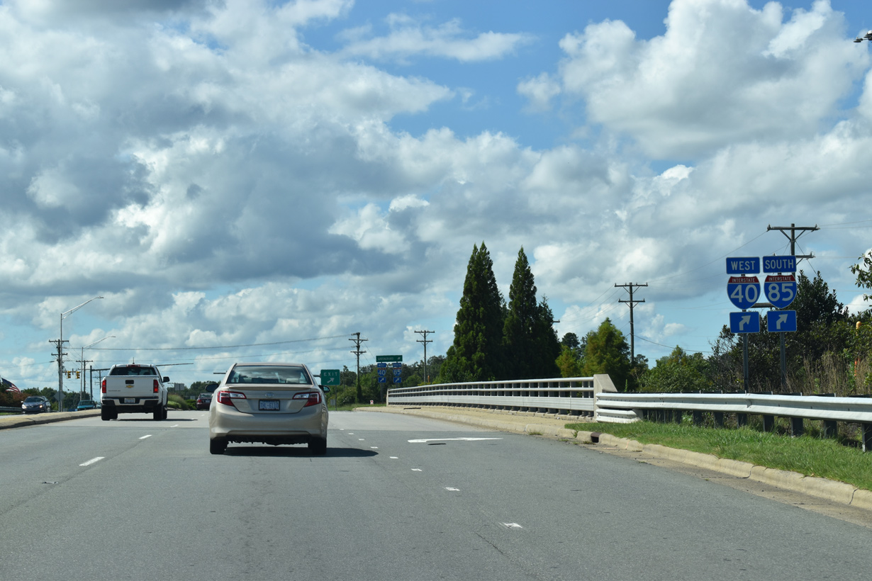
Interstate 77 travels north from Charlotte to meet I-40 outside of Statesville. Multi-year construction at I-40/77 commenced in 2012. Completed in July 2017, the first section of the $89.07 million project widened I-40 to six lanes from Old Mocksville Road to a point east of NC 115, rebuilt the exchange with U.S. 21 into a diverging diamond interchange (DDI) and replaced the loop from I-77 north to I-40 west with a directional ramp. Delayed due to lack of funding, the remainder of work to complete the partial turbine interchange at I-40/77 finally got underway in 2019. Work will be completed at the exchange in Winter 2023.

Interstate 40 enters the Tar Heel State at Waterville through the Pigeon River Gorge. The freeway parallels the river southeast through two tunnels, including this one at Hurricane Mountain. - 09/23/2022

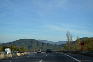
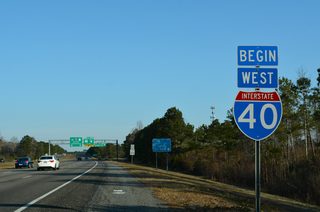
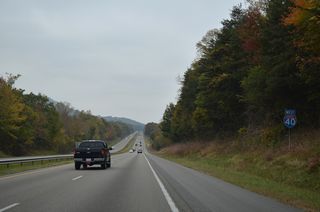
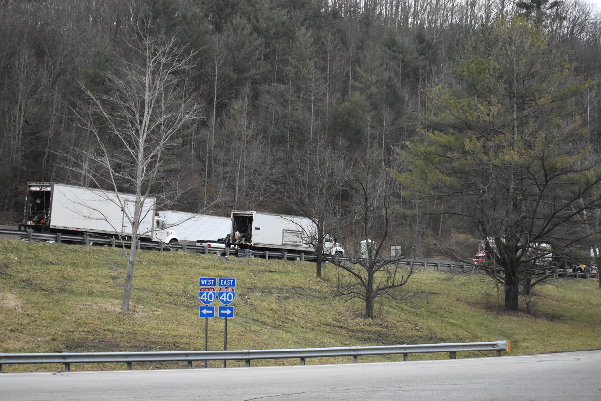
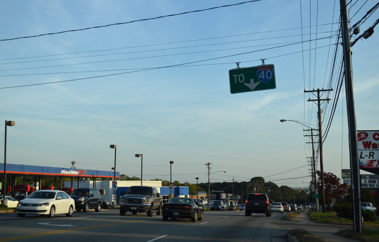
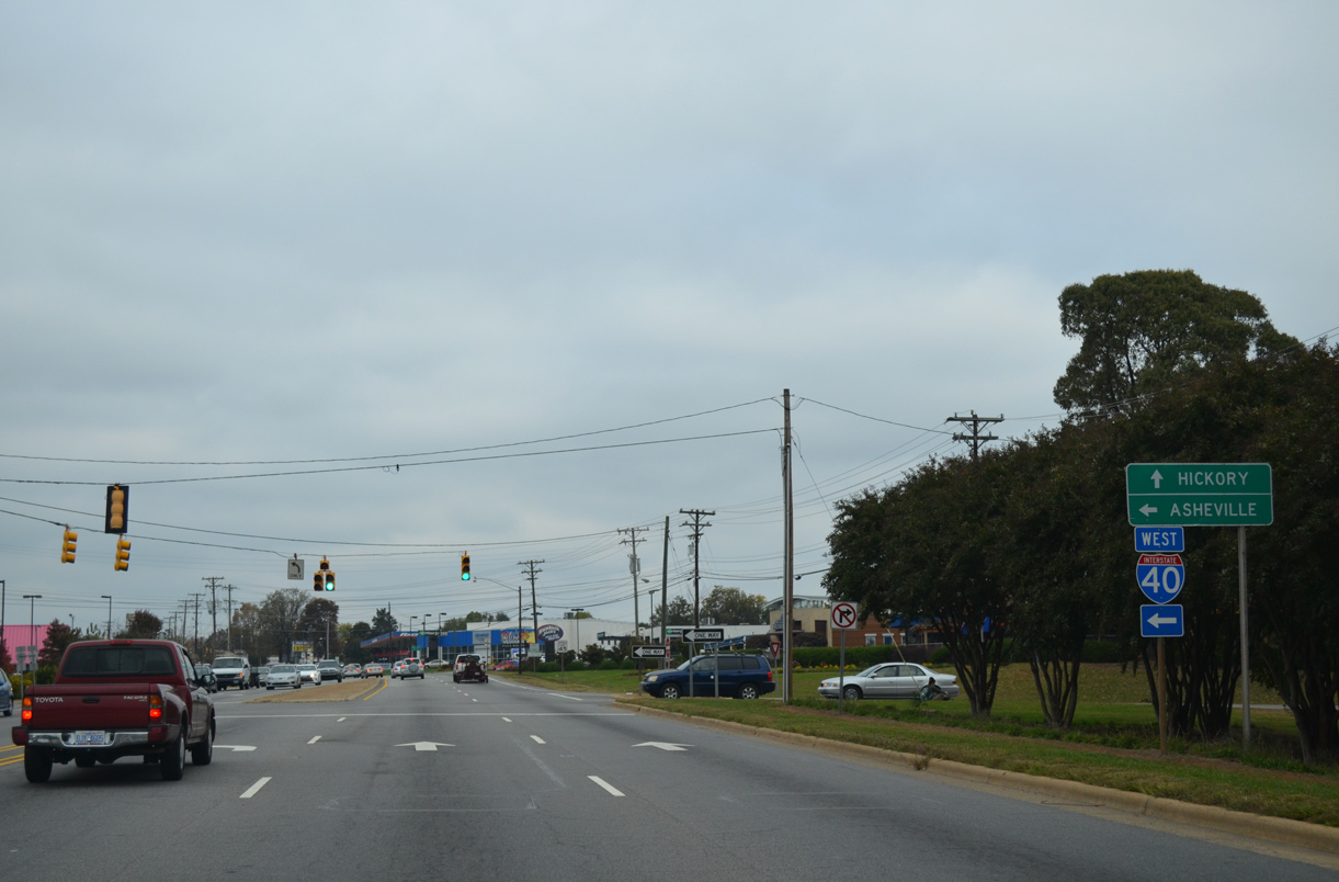
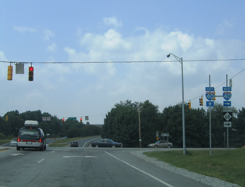
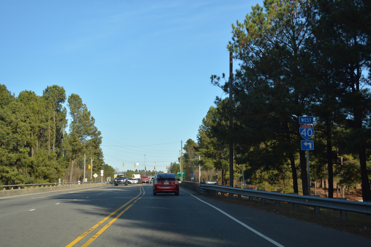
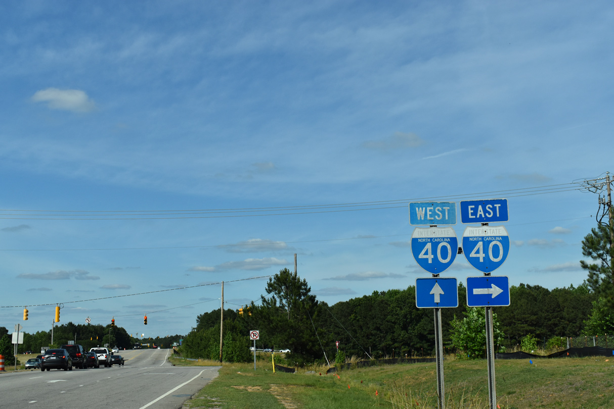
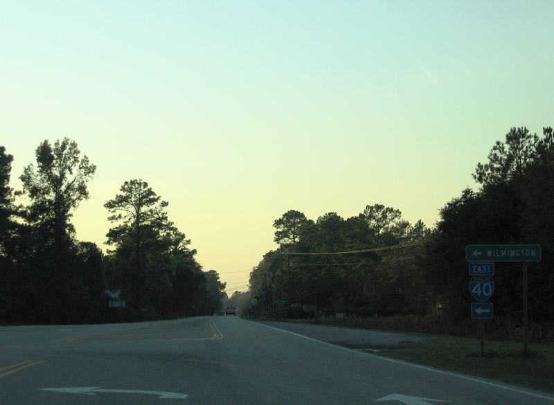
Interstate 40 east of the U.S. 70/321 Business overpass in Hickory. - 10/23/2015
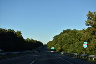
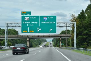
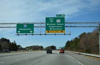
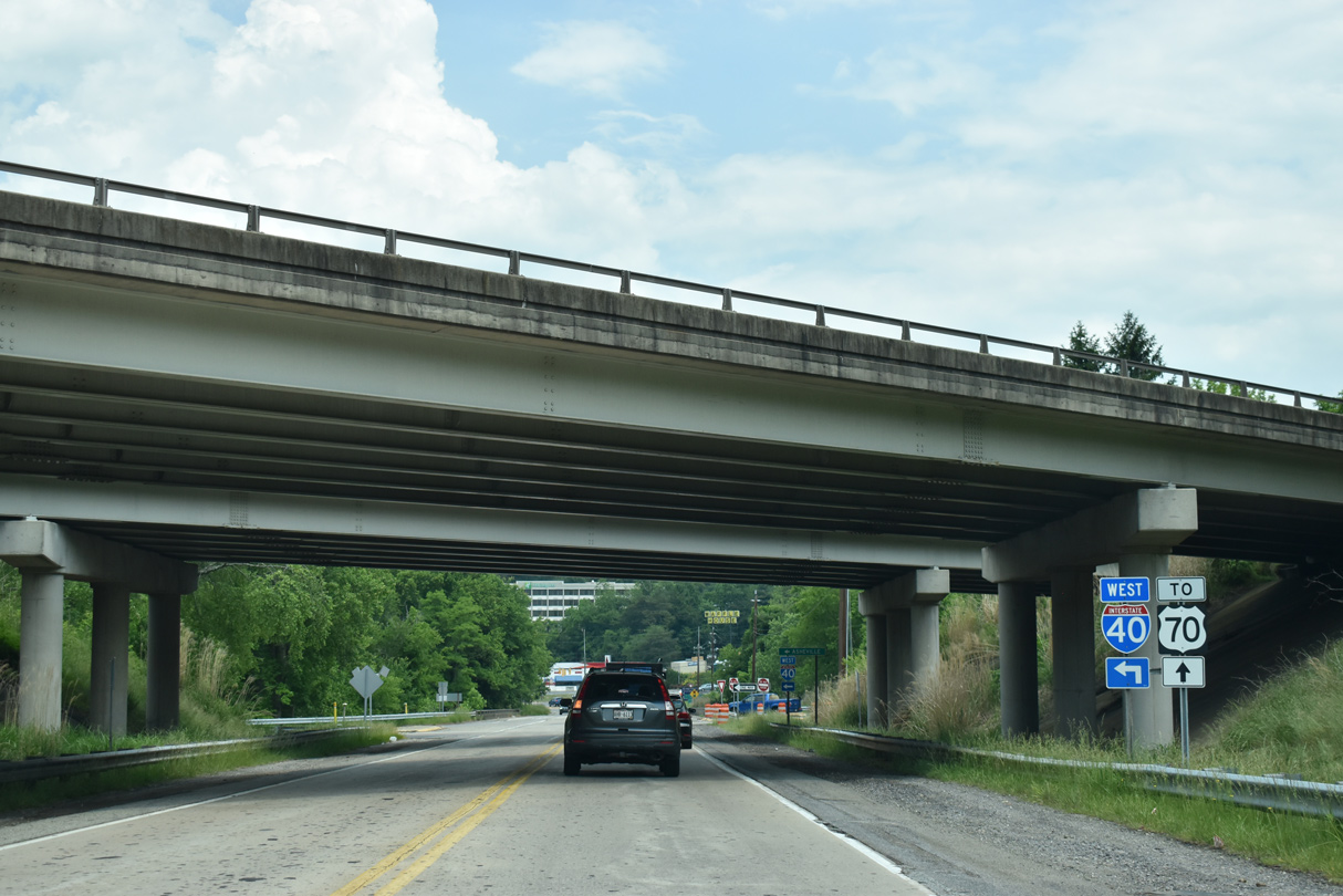
Trending northward from Statesville, Interstate 40 follows a rural course toward the Piedmont Triad region. Once at Winston-Salem, I-40 shifts onto a bypass south of the city center, with the former route (Business Loop I-40 until 2020) carrying U.S. 421 (Salem Parkway). The commuter freeway connects Winston-Salem with Piedmont Triad International Airport (GSO) and central Greensboro.
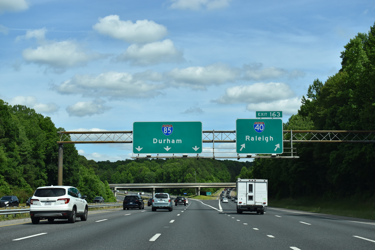
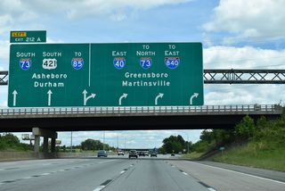
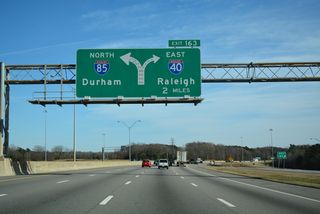
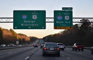
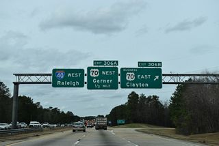
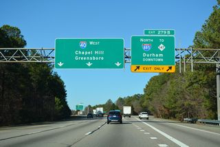
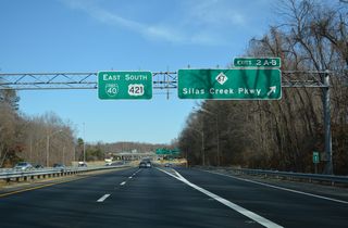
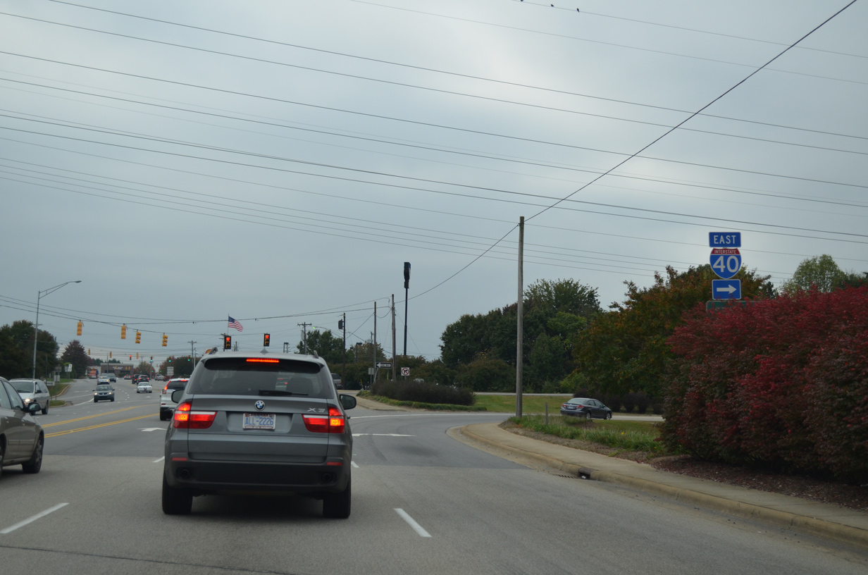
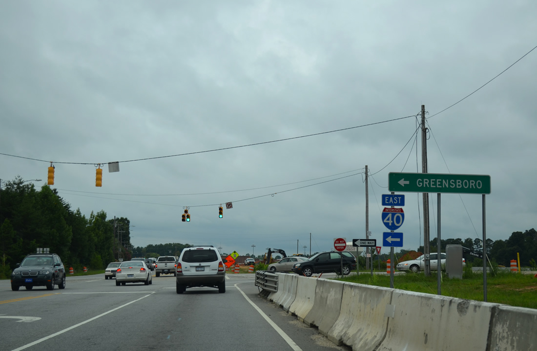
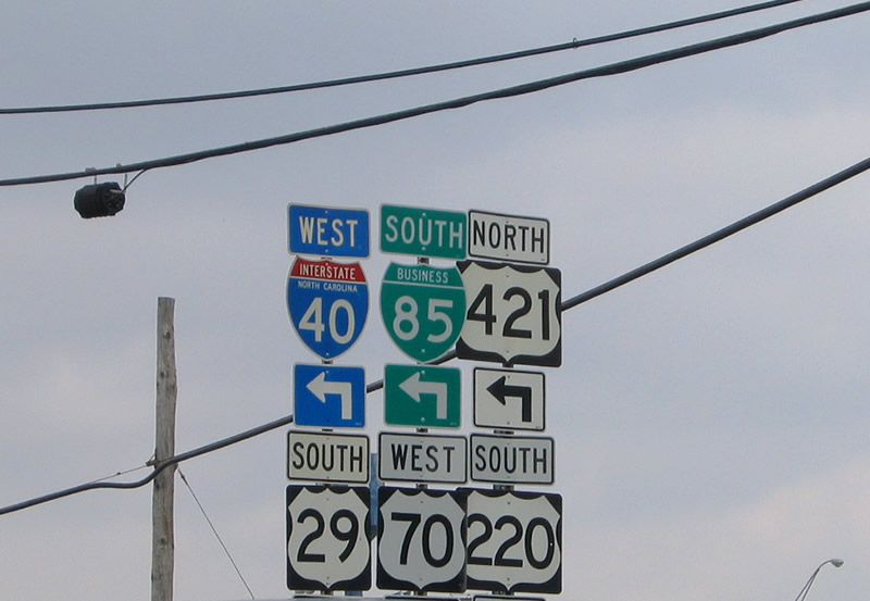
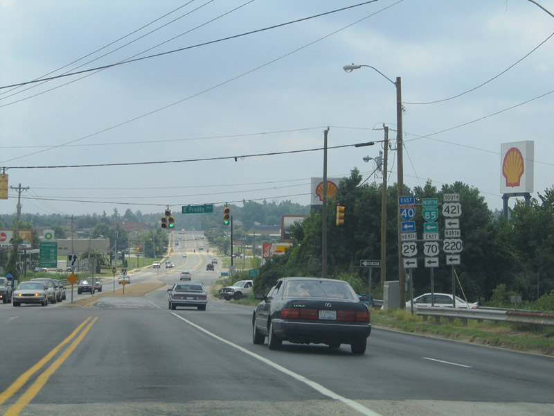
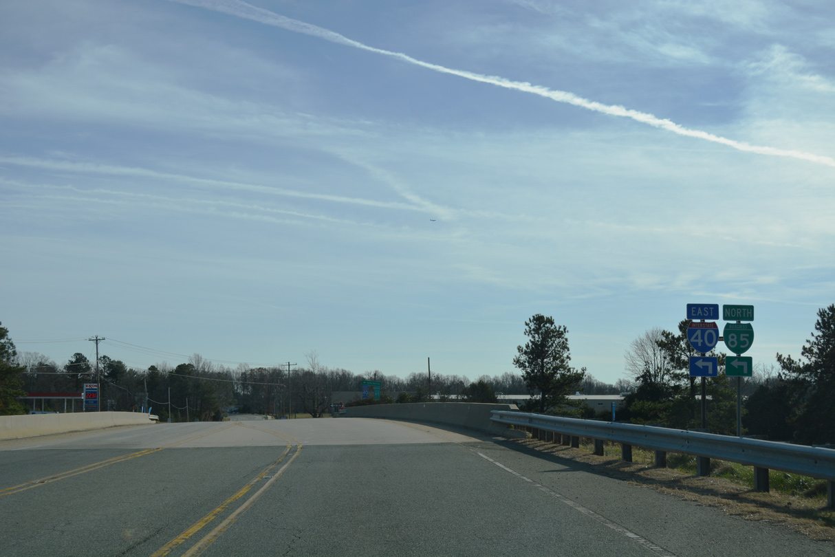
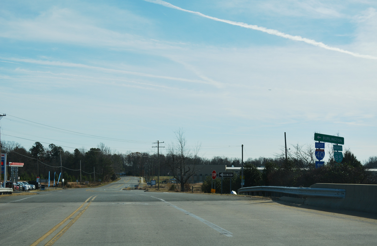
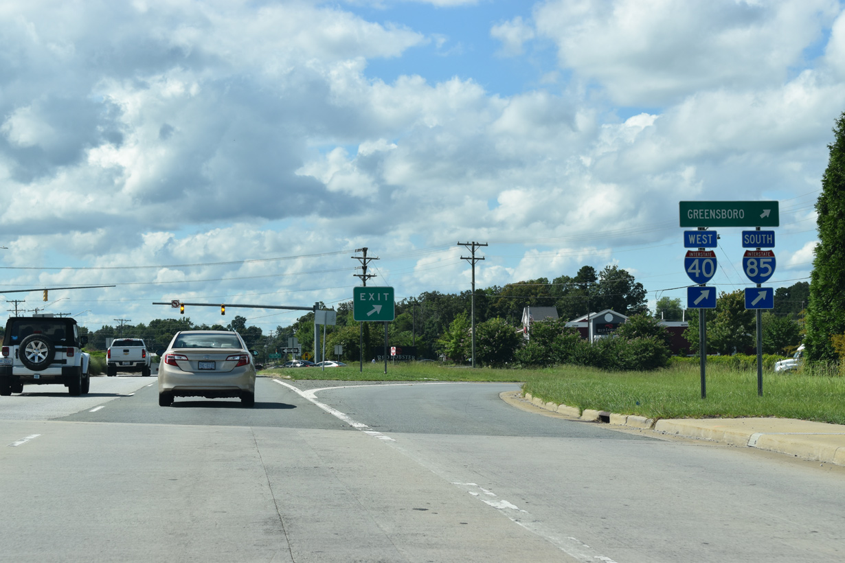
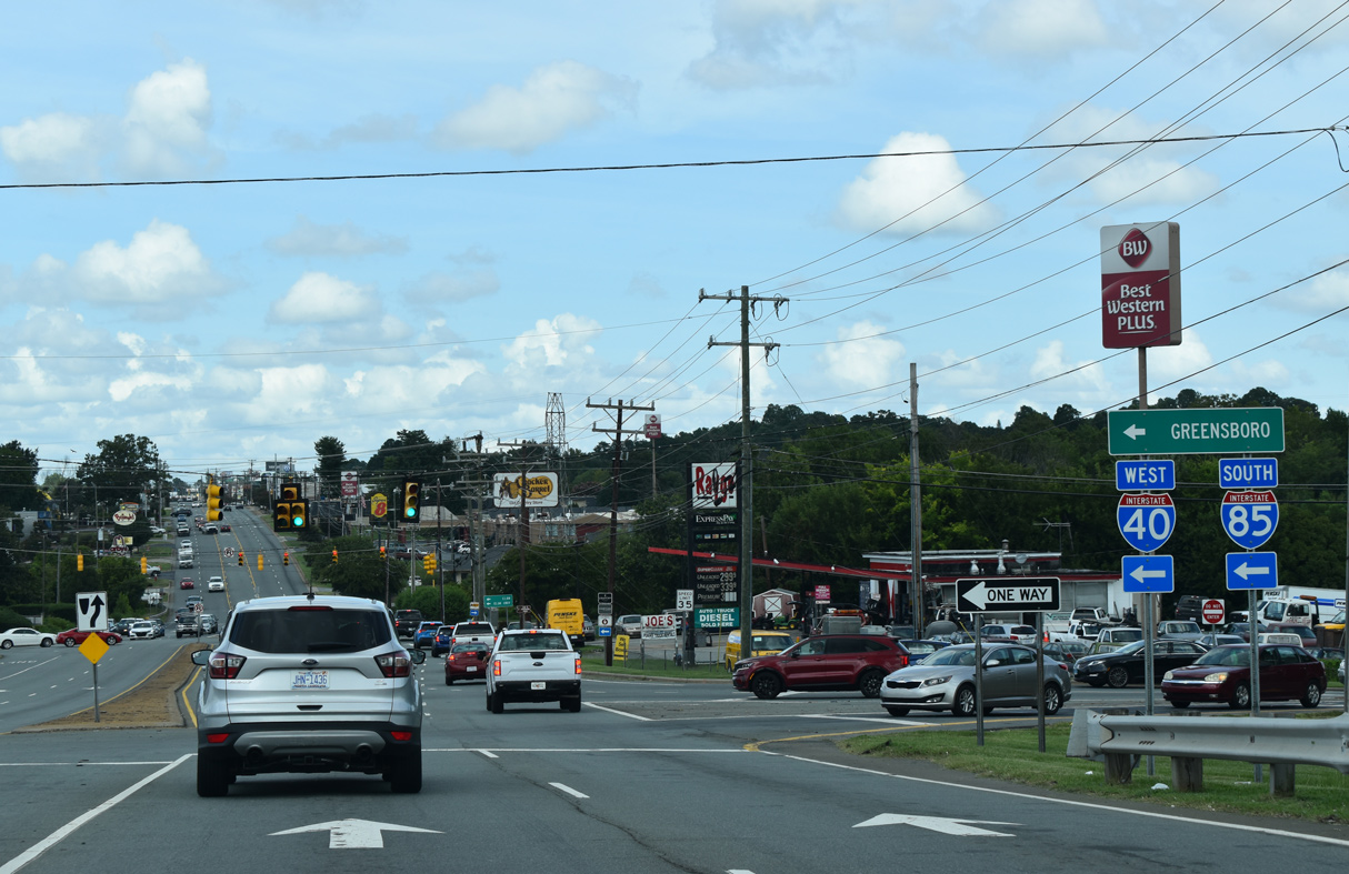
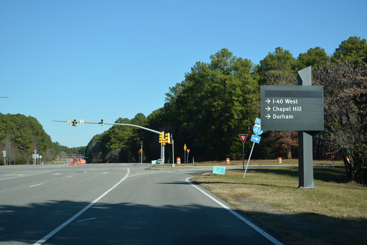
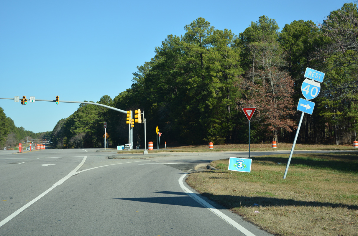
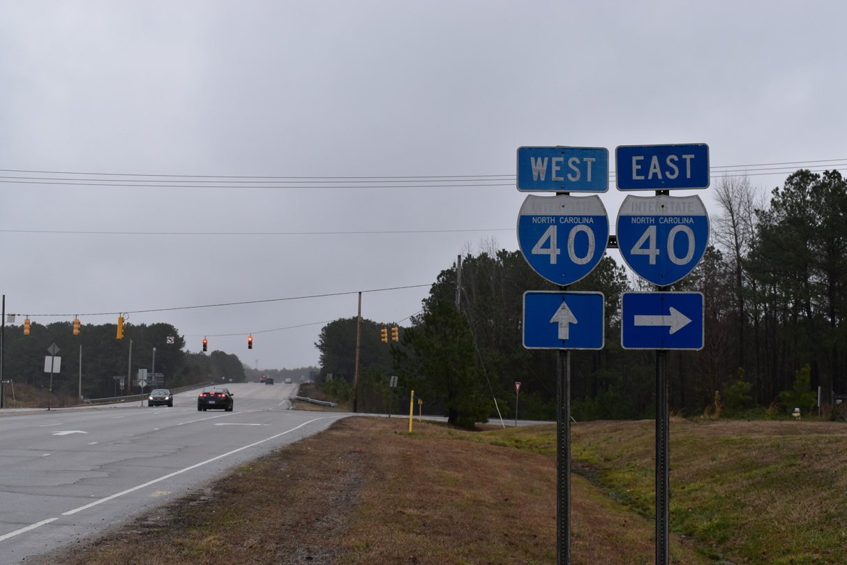
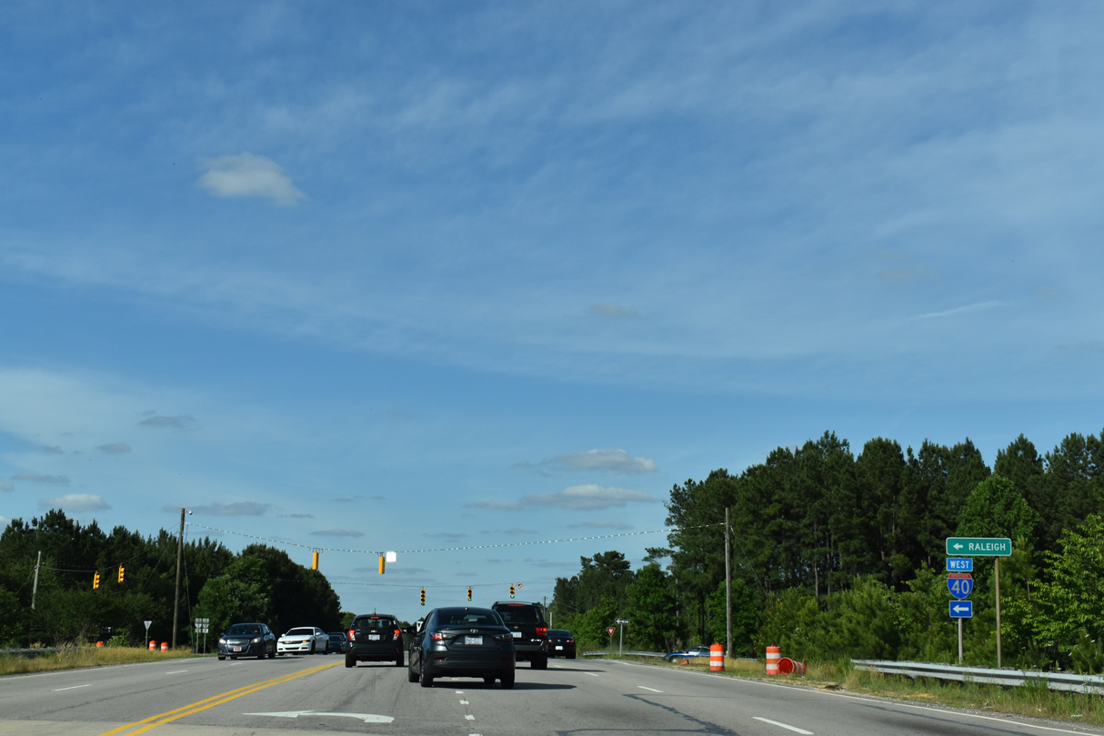
A 30.61 mile overlap with Interstate 85 takes both routes east from Greensboro to Burlington, Mebane and Hillsborough. The two separate ahead of Durham, with I-85 bypassing the city to the north and I-40 turning southeast toward Raleigh. Through Raleigh, I-40 encircles the south side of the capital city. This stretch was formerly co-signed with I-440, which follows the Cliff Benson Beltline on the northern arc around the city.
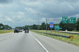
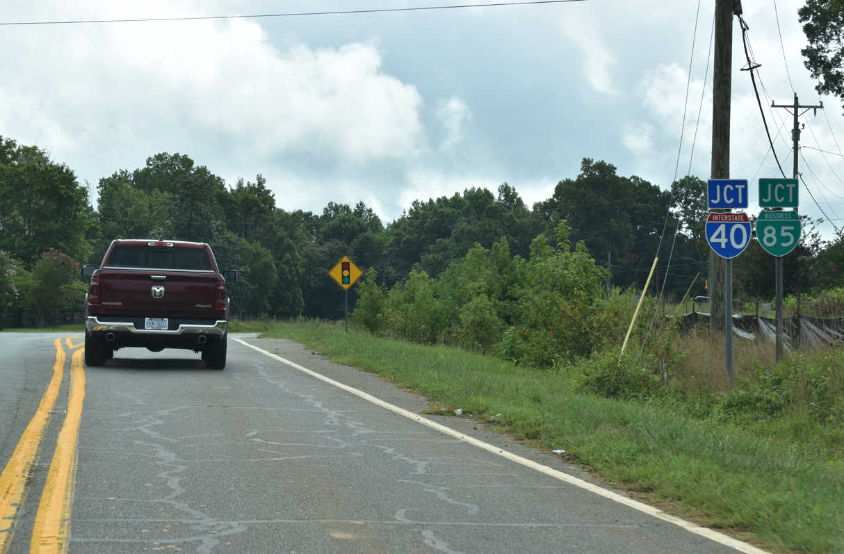
The eastbound split of I-40/85 near Hillsborough, North Carolina. - 05/31/2021
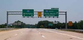
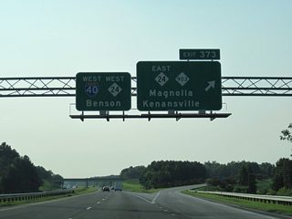
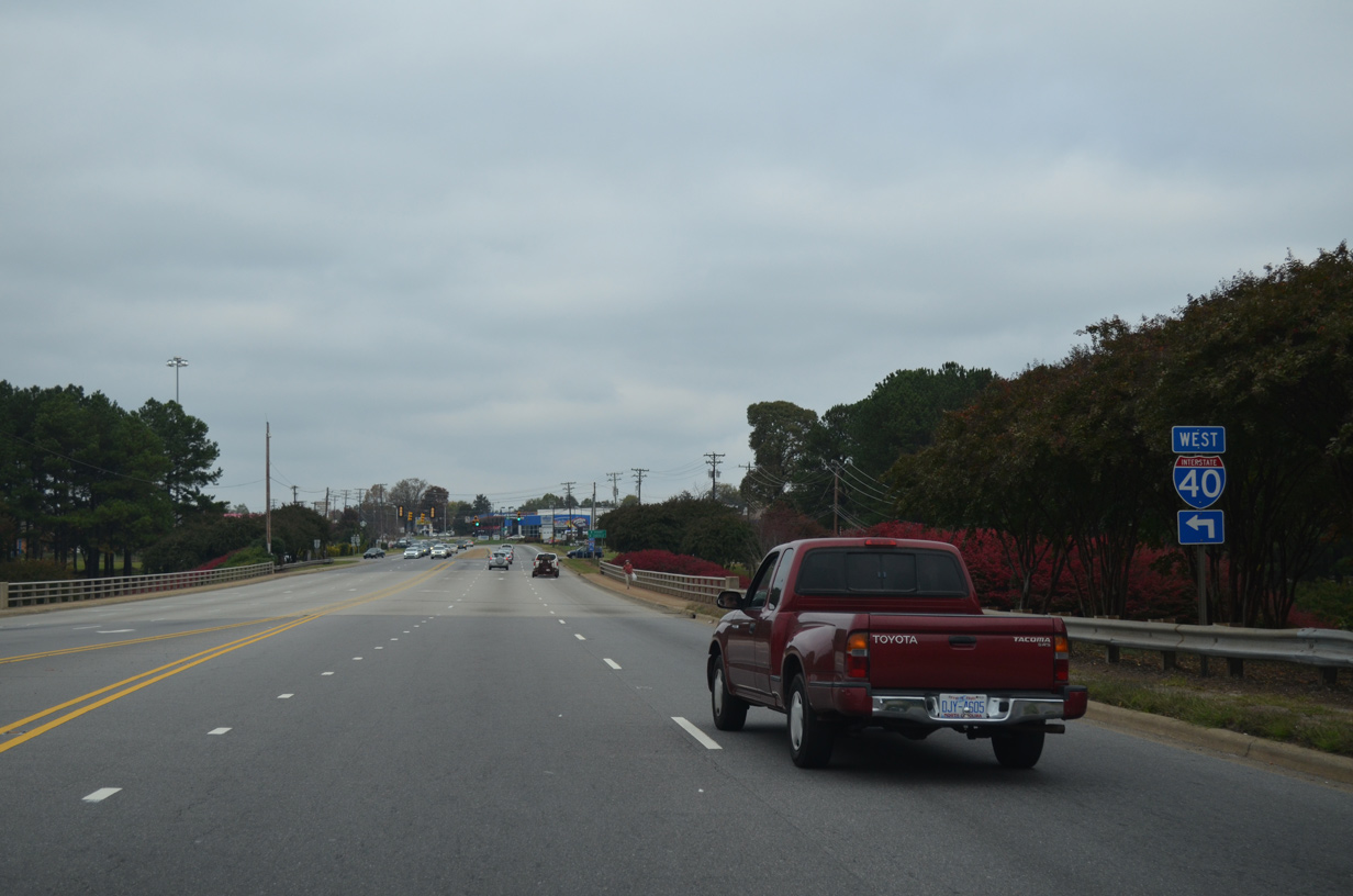
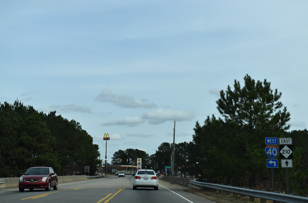
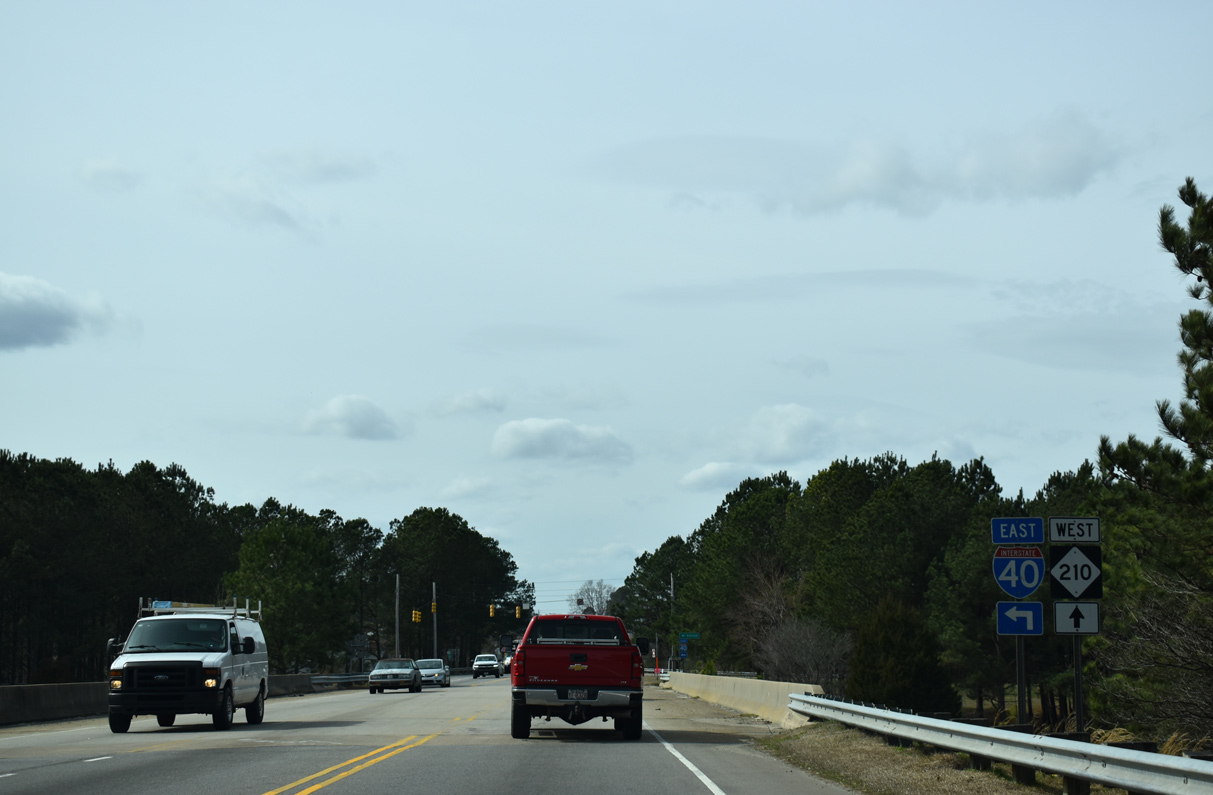
The remainder of I-40 travels southward, first splitting with U.S. 70 (Future I-42) near Clayton and next meeting Interstate 95 near Benson. Beyond I-95, Interstate 40 navigates through agricultural and timberland, staying rural by the communities of Warsaw, Wallace and Burgaw. The cross-country freeway concludes at U.S. 117 just outside of Wilmington.
Interstate 40 North Carolina Guides
East
Tennessee to Canton - 67 photos
Asheville to Black Mountain - 67 photos
Old Fort to Marion - 57 photos
Morganton to Hildebran - 53 photos
Hickory to Catawba - 40 photos
Statesville to Mocksville - 53 photos
Winston-Salem - 56 photos
Greensboro - 72 photos
I-40/85 - Burlington to Hillsborough - 68 photos
Chapel Hill to Durham - 49 photos
Raleigh - 75 photos
Garner to Newton Grove - 26 photos
Warsaw to Wallace - 24 photos
Burgaw to Wilmington - 34 photos
West
Wilmington to Burgaw - 33 photos
Wallace to Warsaw - 27 photos
Faison to Garner - 42 photos
Raleigh - 43 photos
Durham to Chapel Hill - 22 photos
I-40/85 - Hillsborough to Burlington - 63 photos
Greensboro - 69 photos
Winston-Salem - 35 photos
Statesville to Hickory - 22 photos
Hildebran to Morganton - 49 photos
Marion to Old Fort - 47 photos
Asheville - 51 photos
Canton to Tennessee - 61 photos
Business Routes
Former Business Loop I-40 - Winston Salem - 61 photos
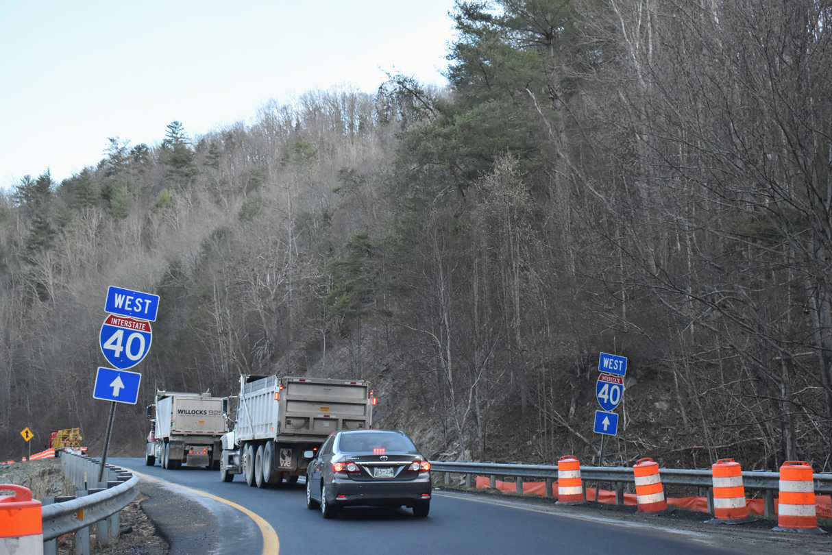
Rock slides are periodically a problem along Interstate 40 by the Pigeon River in western North Carolina. Closures of the freeway occurred on December 21, 2012 near mile marker seven for three days, on January 31, 2012 near Exit 20 for two weeks, and from October 25, 2009 to April 27, 2010 at the Tennessee state line. The catastrophic flooding from Hurricane Helene on September 28, 2024 washed out large sections of the eastbound roadway along I-40 between Exit 447 in Tennessee and Exit 7 and also between Exits 15 and 20. Following an extended closure of the freeway, I-40 reopened to traffic with two lanes and a 35 mile per hour speed limit on March 1, 2025. (NCDOT, 2025)
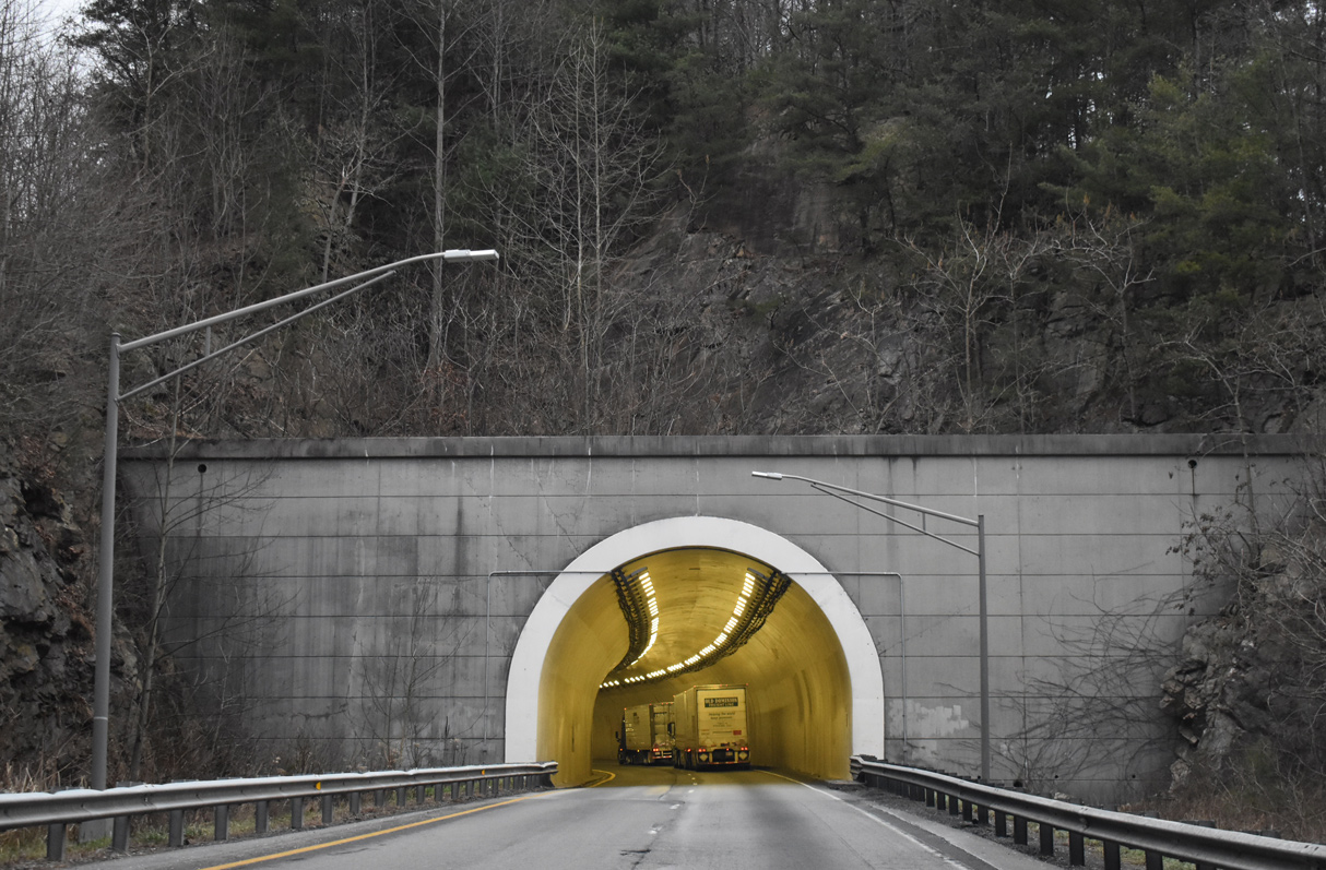
Interstate 40 eastbound at the tunnel through Dry Gap Ridge in Pigeon River Gorge, North Carolina. - 01/16/2019
Interstate 40 represents one of the original four interstates approved for the state of North Carolina in 1956. The first section, beginning with the stretch opened in 1957 between U.S. 421 in Greensboro and NC 66 at Kernersville, traveled 219 miles east from Tennessee to overlap with Interstate 85 in Greensboro. Built between 1949-50, the pre-existing freeway along U.S. 421 from Winston-Salem eastward was also included in the alignment of I-40. The 1956 Federal-Aid Highway Act authorized construction on Interstate 40 first through Pigeon River Gorge in Haywood County in 1958. Work followed on a 34.3 mile long section of freeway through Burke and Catawba Counties in 1959.
By 1966, 119.4 miles of Interstate 40 were open to traffic, followed by the opening of the 22 mile Pigeon River Gorge alignment leading west to Tennessee in 1968, which was the most expensive project in North Carolina history at the time. These completions preceded the 1968 request to the Bureau of Public Roads for additional Interstate mileage within North Carolina. The approved request extended I-40 from Greensboro east to Raleigh and Interstate 95. Work followed soon thereafter with a section of new freeway opening in the Raleigh area by December 1971.
A third extension of Interstate 40 followed in April 1978 with an approval for a new freeway from I-95 near Raleigh to Wilmington. I-40 would not be completed east to I-95 until 1989 however, but opening of the entire alignment to Wilmington would follow shortly afterward on June 29, 1990.
When the Greensboro bypass (Painter Boulevard) was completed on the southwest side of the city, Interstate 40 was relocated from a route across the city onto the bypass. Also established on February 21, 2008 was Business Loop I-40 along the former alignment of I-40 across Greensboro. I-40 was subsequently returned to its original alignment in September 2008. Business Loop I-40 was eliminated and U.S. 421 was also realigned to accompany I-85 west and I-73 north.
03/14/22
01/16/19
01/16/19

01/16/19

01/16/19
01/16/19
01/16/19
12/31/13
10/26/15
05/26/21
05/26/21
05/26/21
10/23/15
10/23/15
10/24/15
10/24/15
10/24/15
08/06/13
08/06/13
07/24/04
07/24/04
07/24/04
07/24/04
08/16/21
12/15/16
12/15/16
08/18/21
08/18/21
08/18/21
08/16/21
01/17/19
12/15/16
12/15/16
12/16/22
12/16/22
02/16/19
05/31/21
05/31/21
02/15/19
02/15/19

02/15/19
11/11/06
References:
- Interstate 40 Fact Sheet,
http://www.ncdot.org/public/50thanniv/ ncinterstates/download/factsI40.pdfNCDOT. http://www.ncdot.gov/projects/ UnionCrossRoad/
I-40 Set to Reopen on March 1 in Pigeon River Gorge. North Carolina Department of Transportation. (2025, February 11). https://www.ncdot.gov/news/press-releases/Pages/2025/2025-02-11-i-40-gorge-open.aspx
Photo Credits:
- Brent Ivy: 01/16/19, 01/17/19, 02/15/19, 02/16/19, 05/26/21, 05/31/21, 03/14/22
- Alex Nitzman, Carter Buchanan: 12/31/13
- Alex Nitzman: 10/23/15, 10/24/15, 10/26/15, 12/15/16, 12/16/22
- AARoads: 07/24/04, 11/11/06, 08/06/13
- Andy Field: 08/16/21, 08/18/21
Connect with:
Page Updated Friday January 20, 2023.