
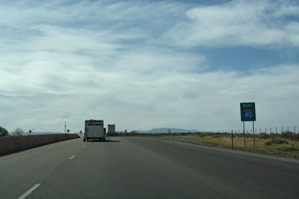
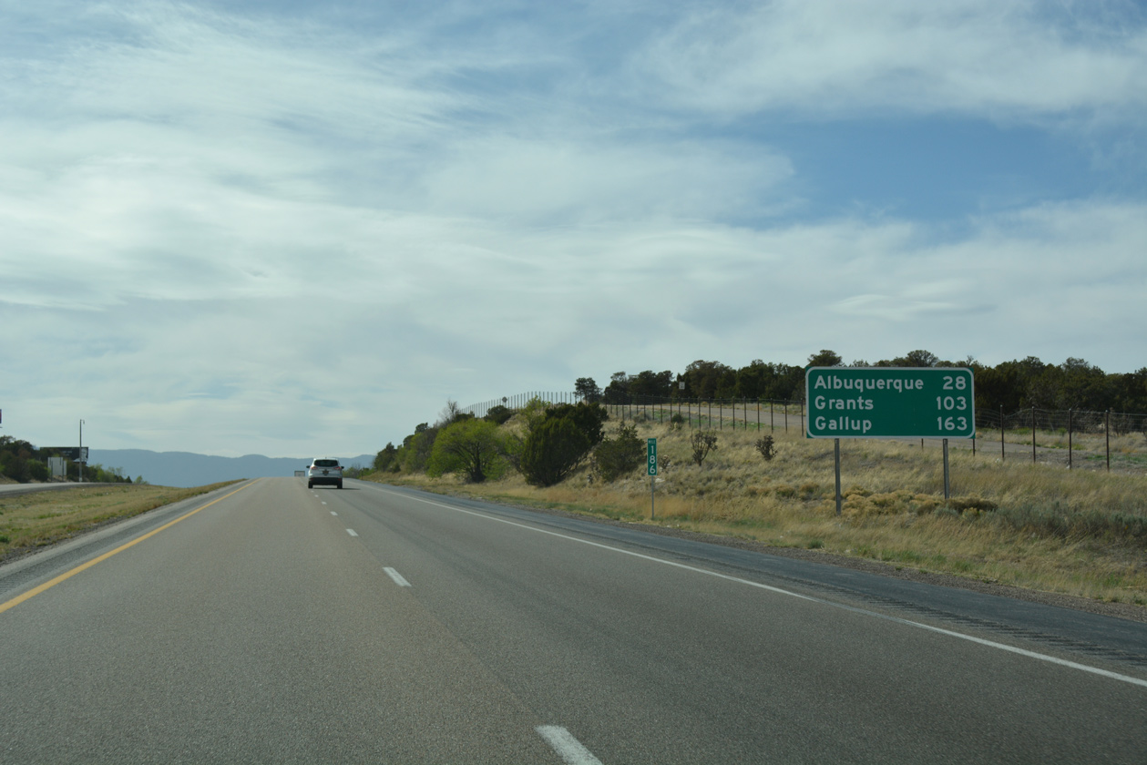
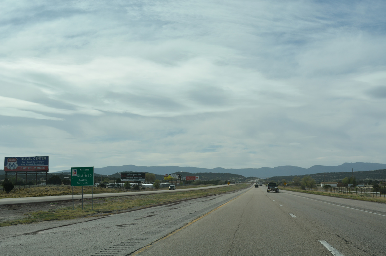
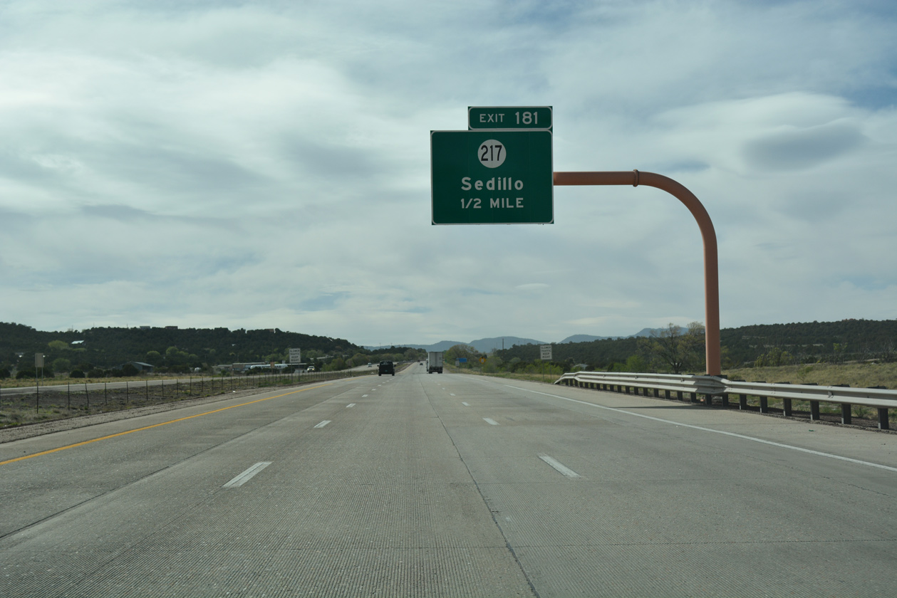
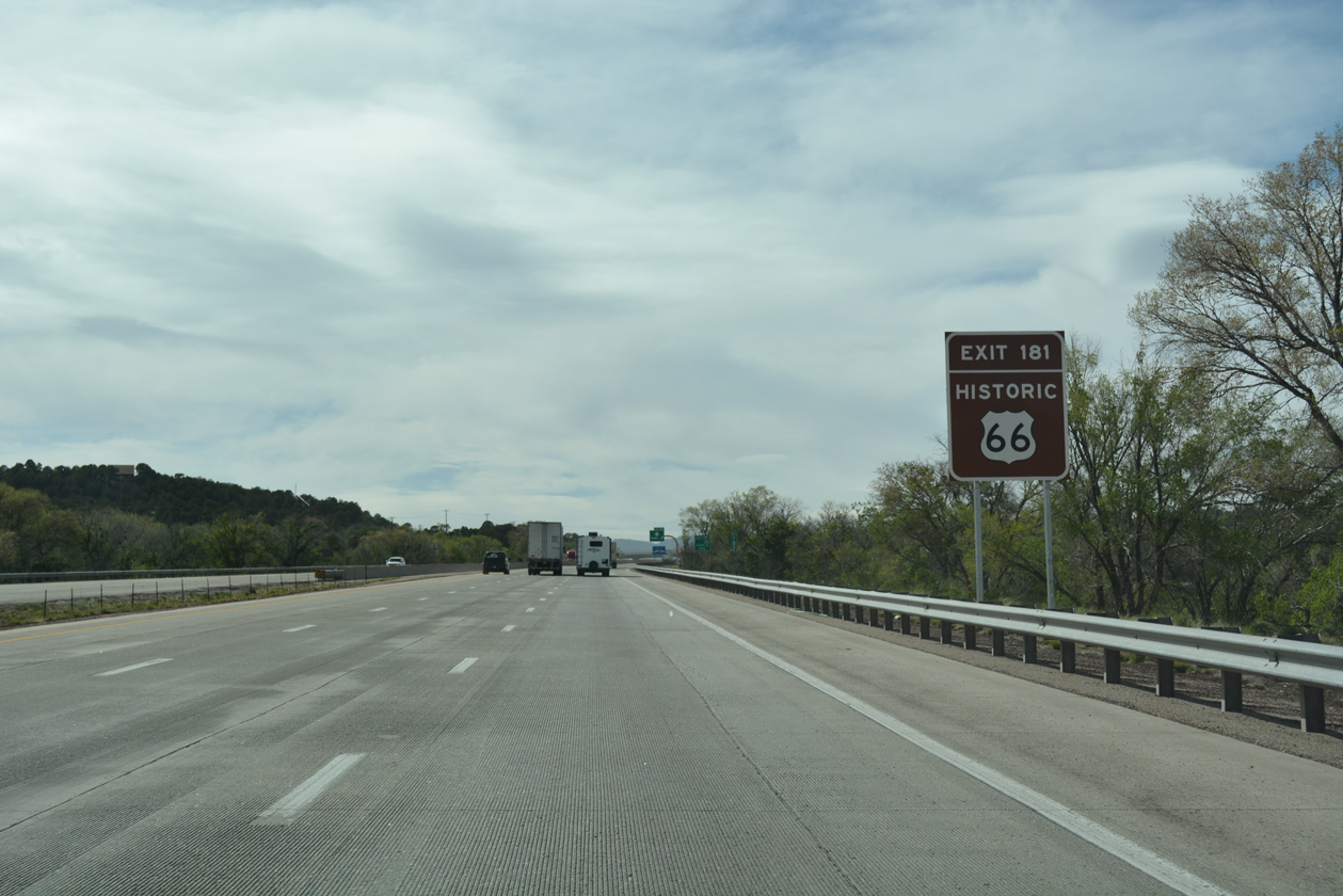
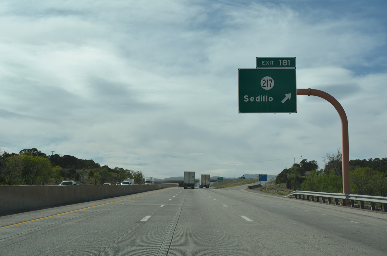
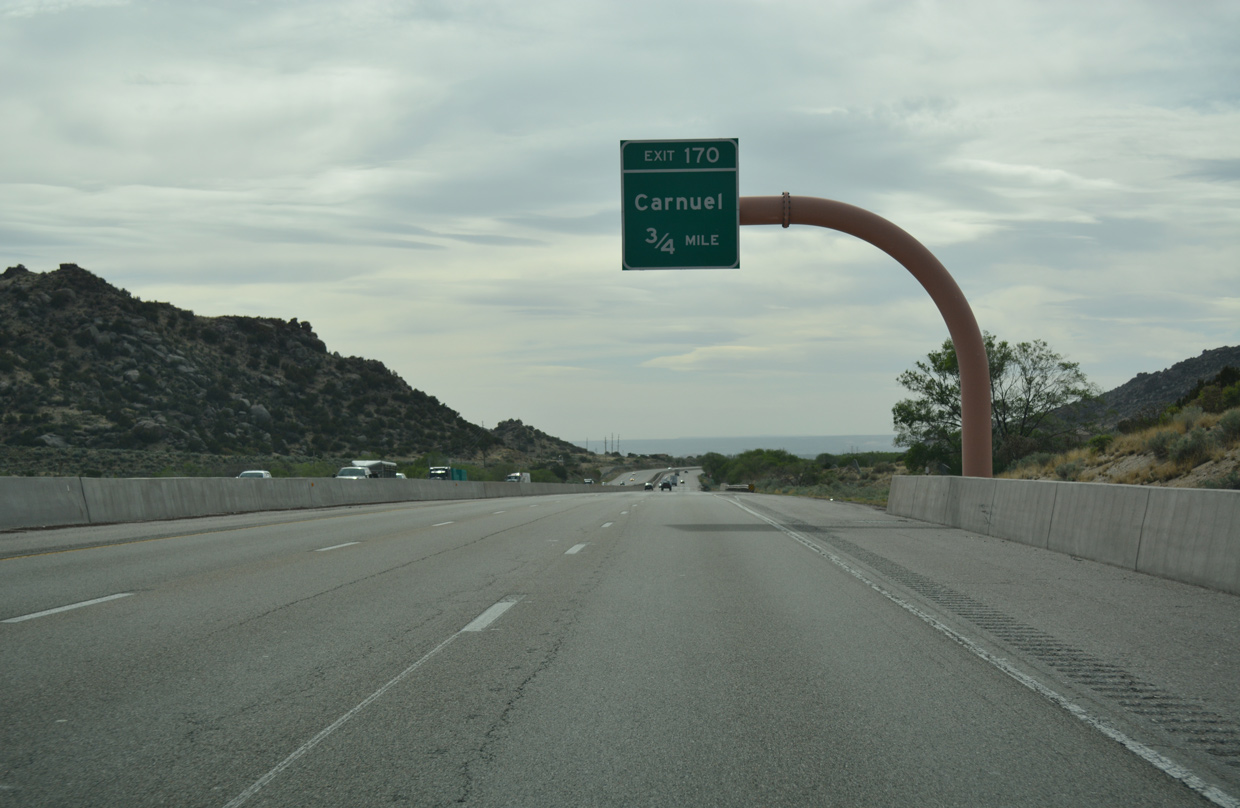
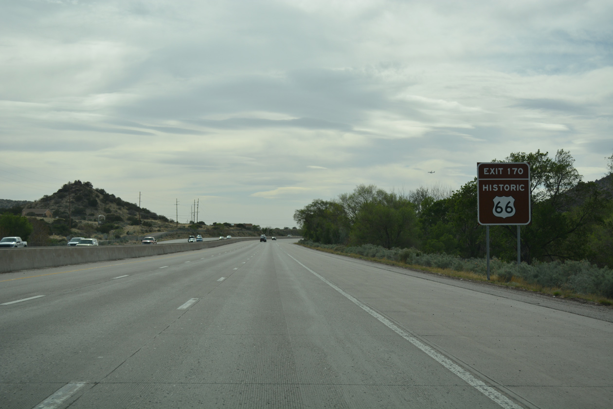
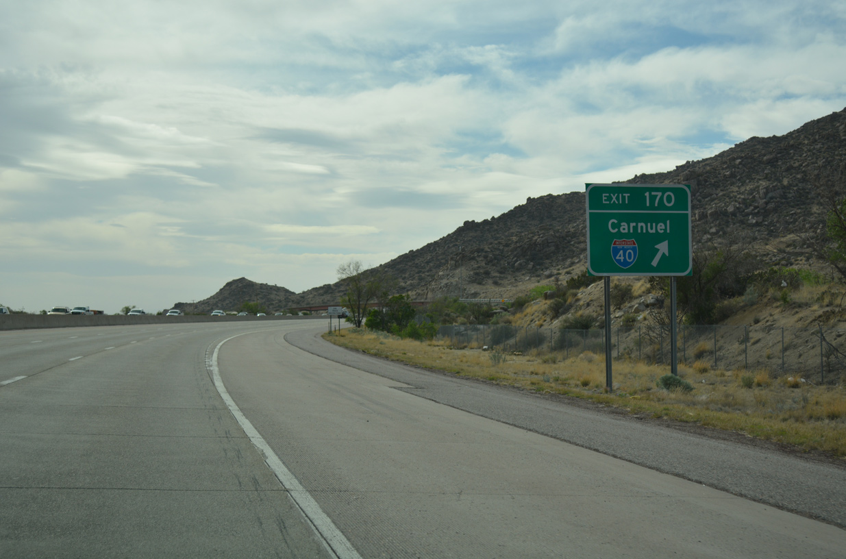
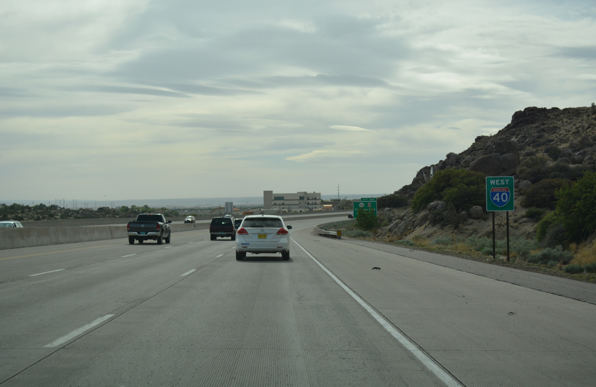
Interstate 40 West - Edgewood to Albuquerque

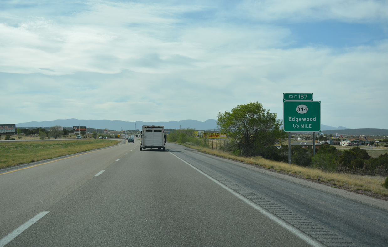
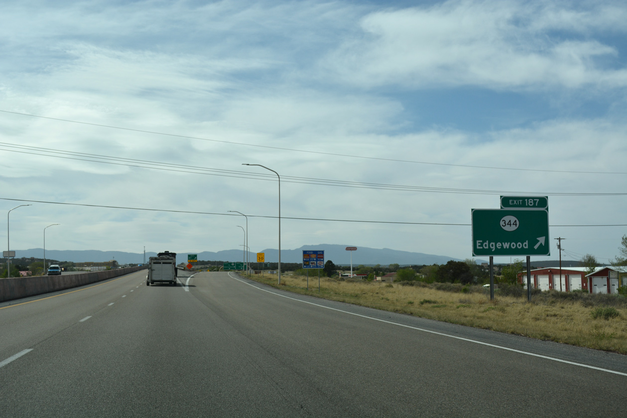
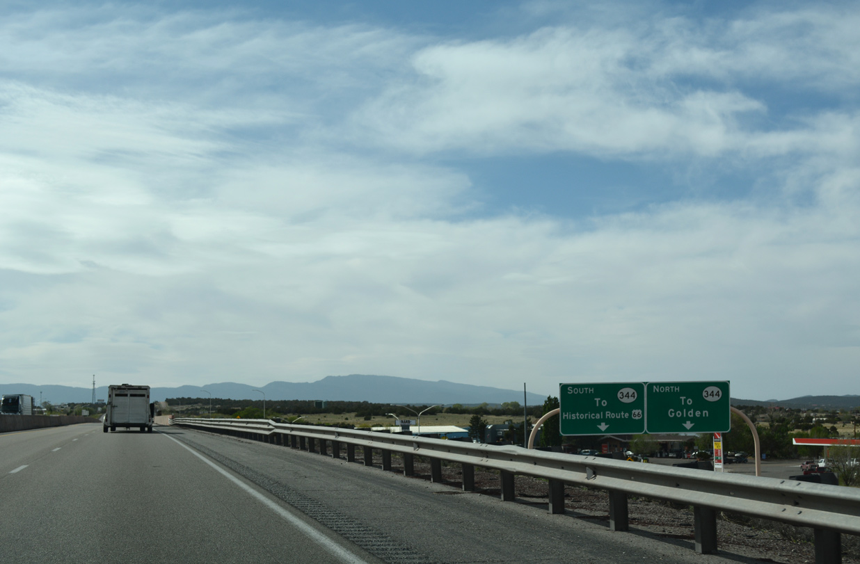
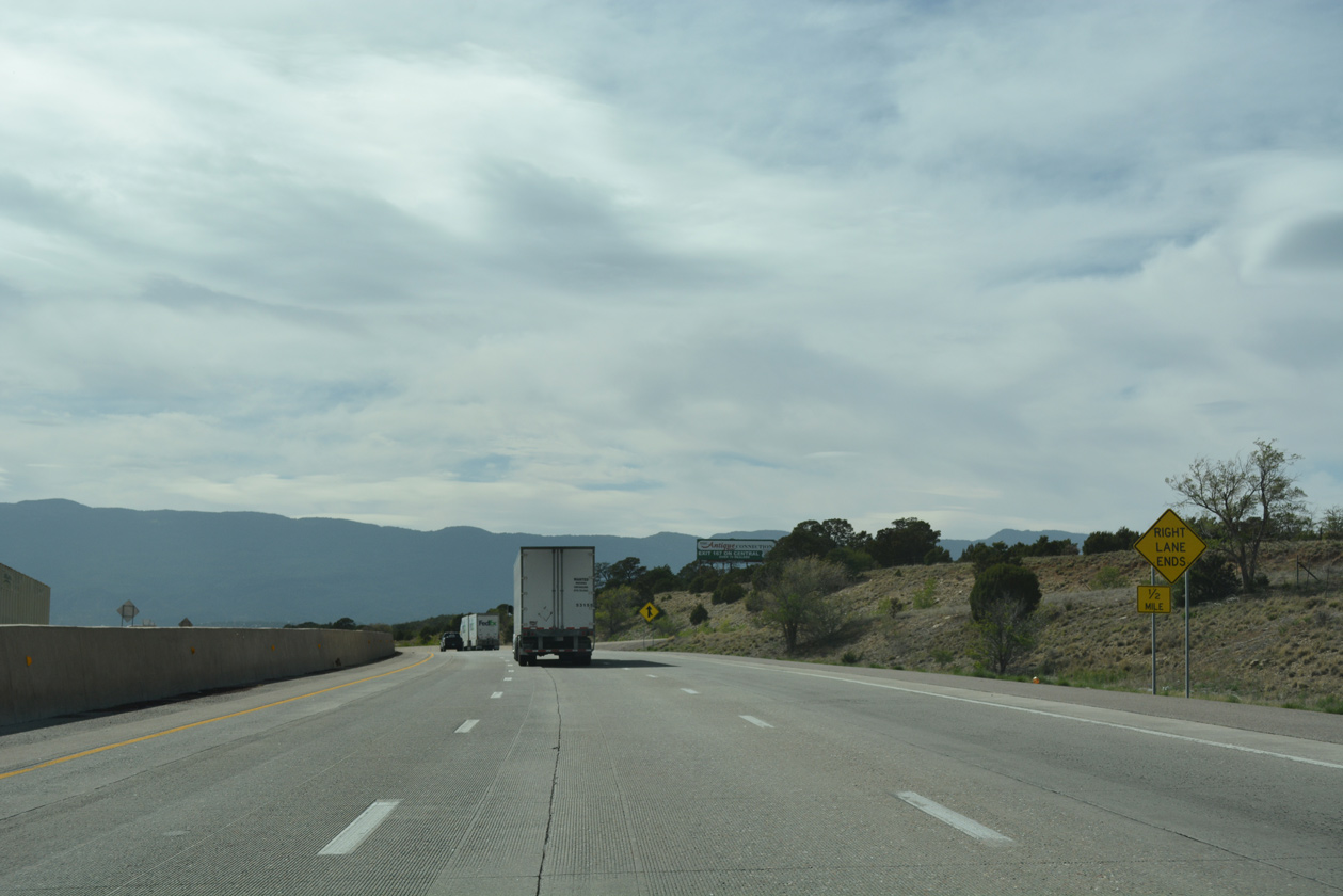
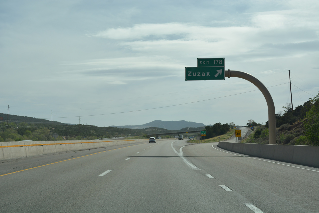
Interstate 40 crosses the southwestern corner of Santa Fe County entirely within the town limits of Edgewood. There a single point urban interchange (SPUI) joins the freeway with State Road 344, a 17.37 mile route from NM 333 (Historic U.S. 66) in Edgewood to NM 14 west of the San Pedro Mountains. West from Juan Tomas Canyon, I-40 crosses into Bernalillo County and the East Mountain District neighborhood area of Albuquerque.
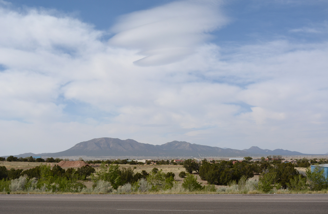
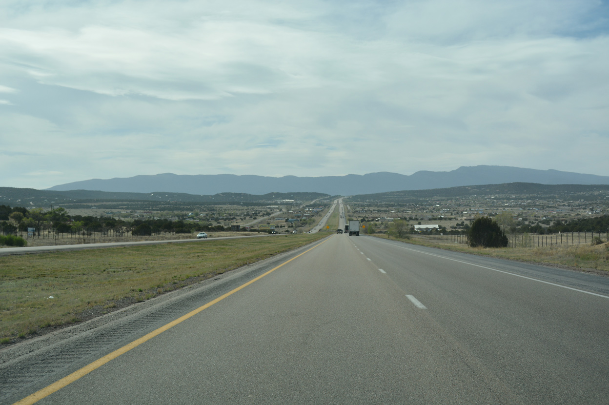
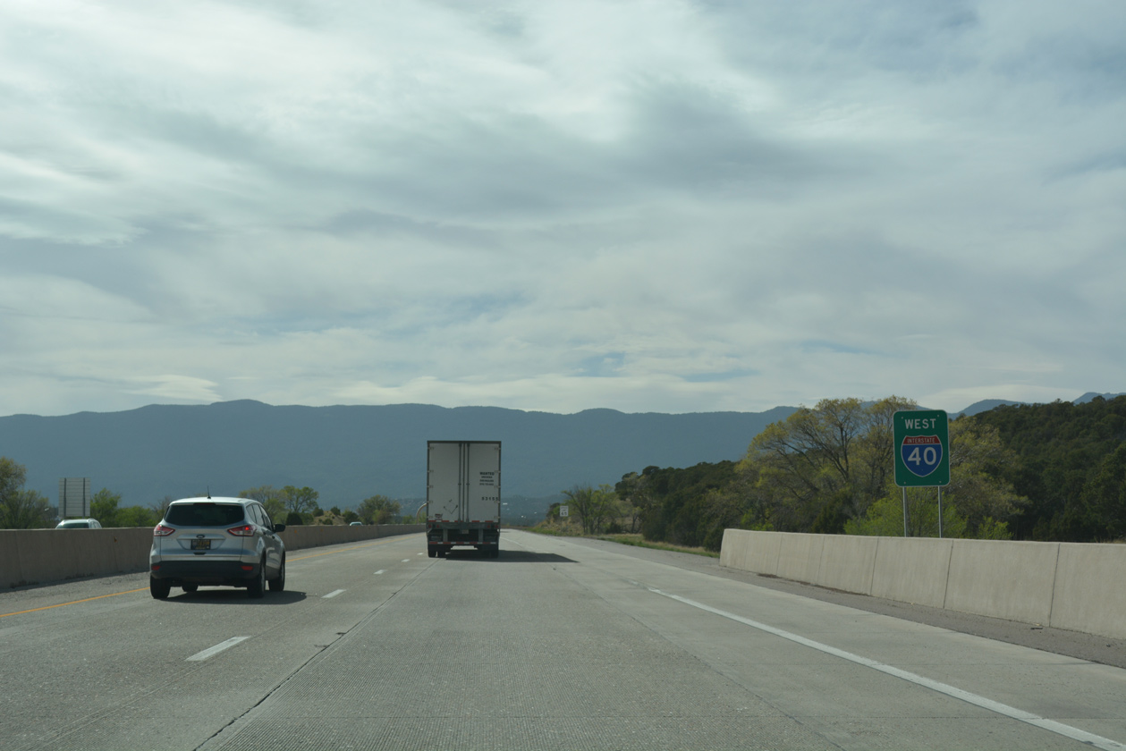
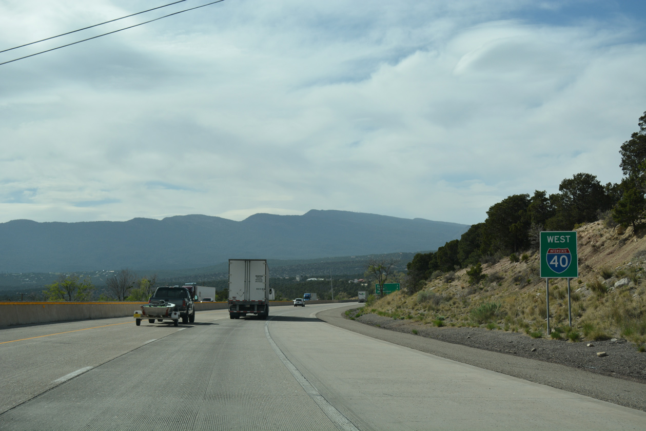
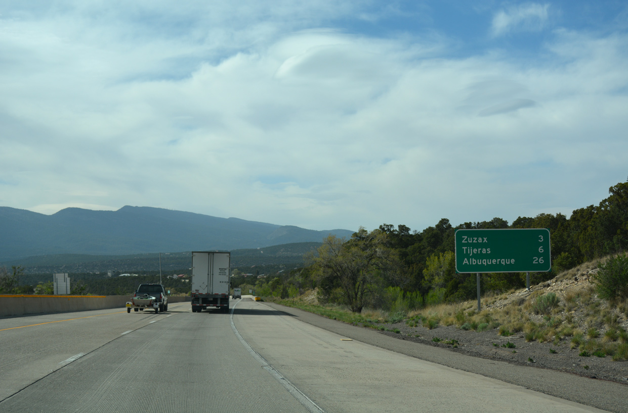
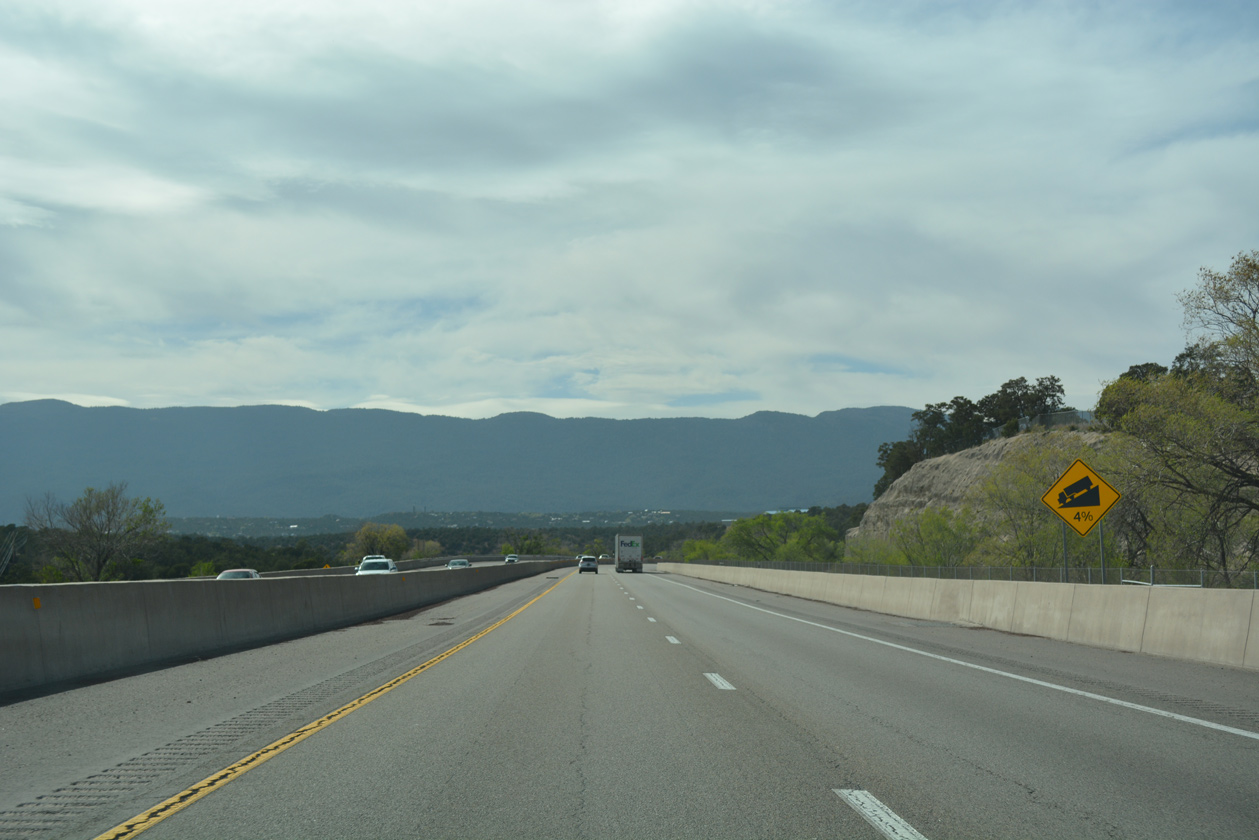
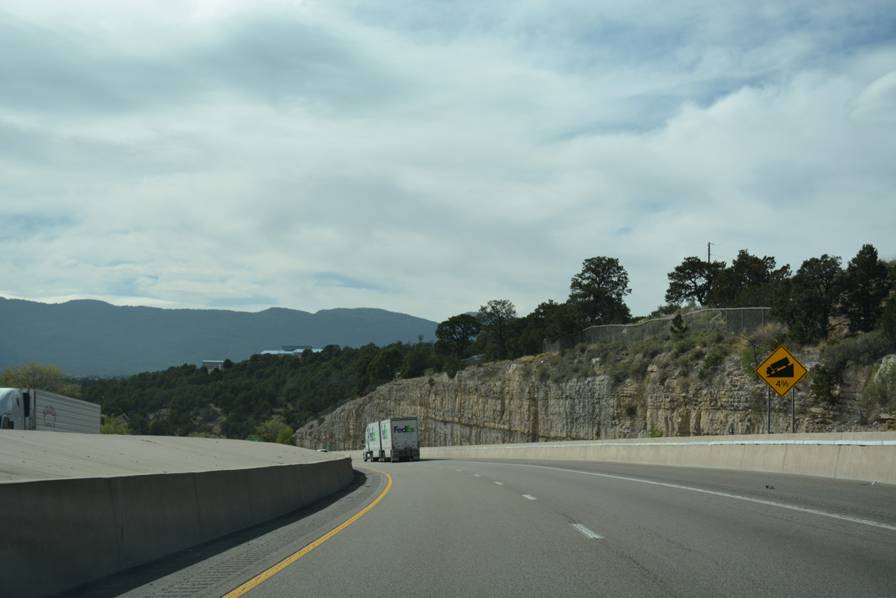
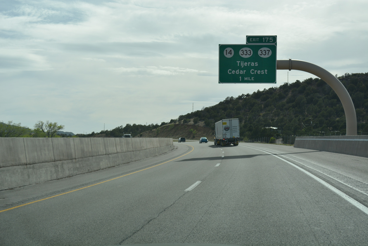
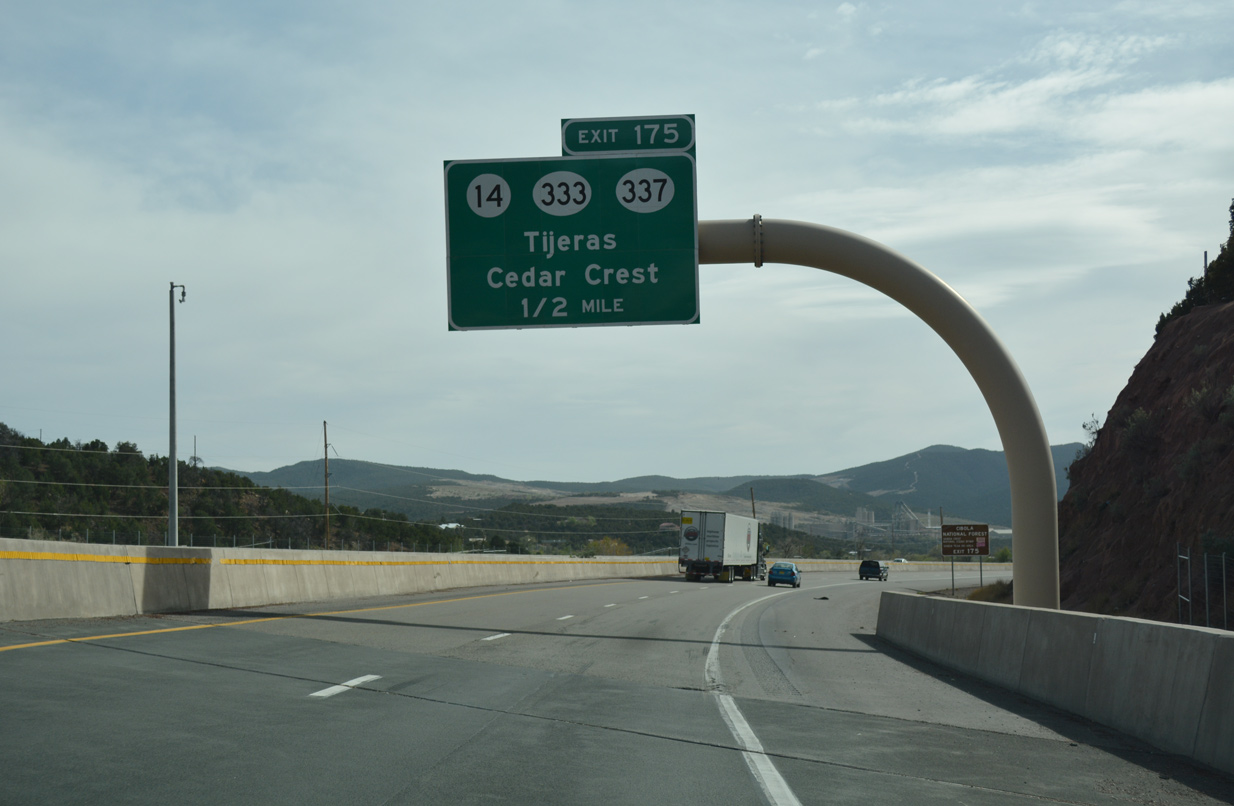
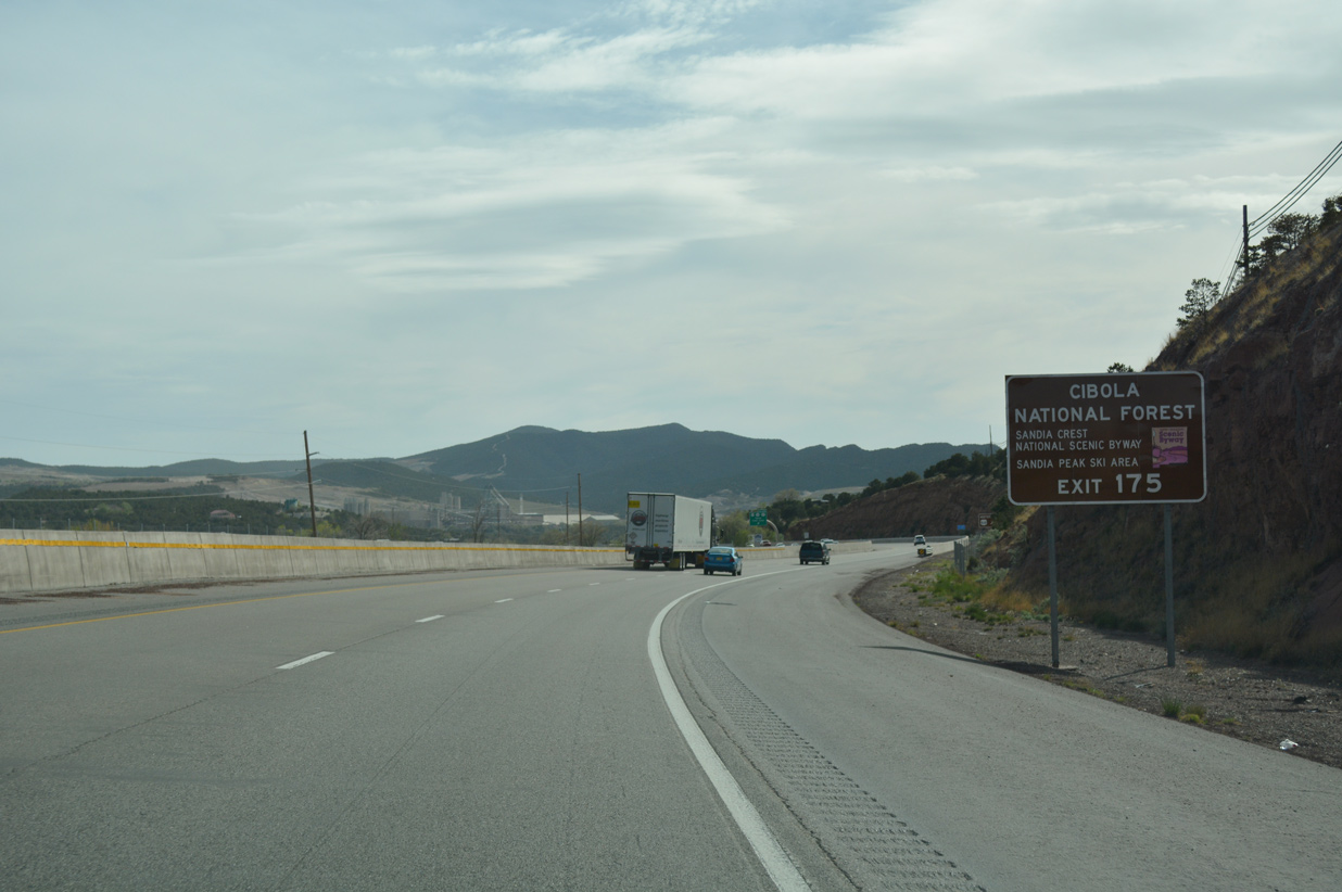
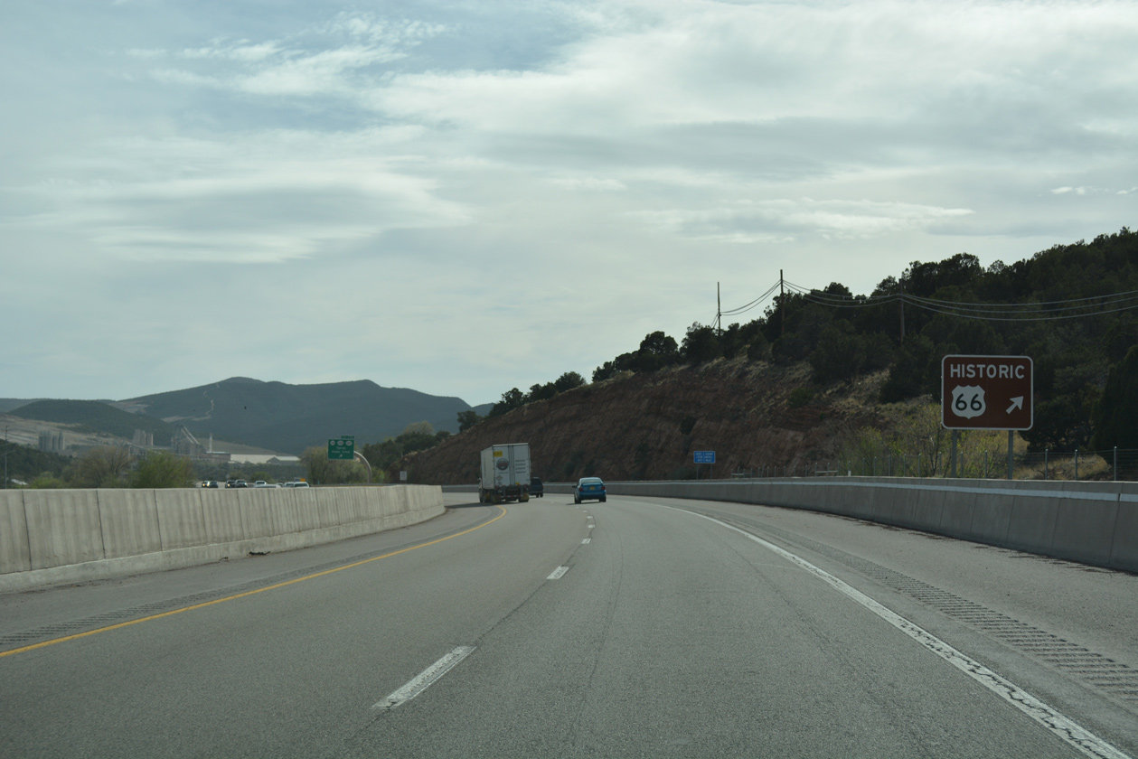
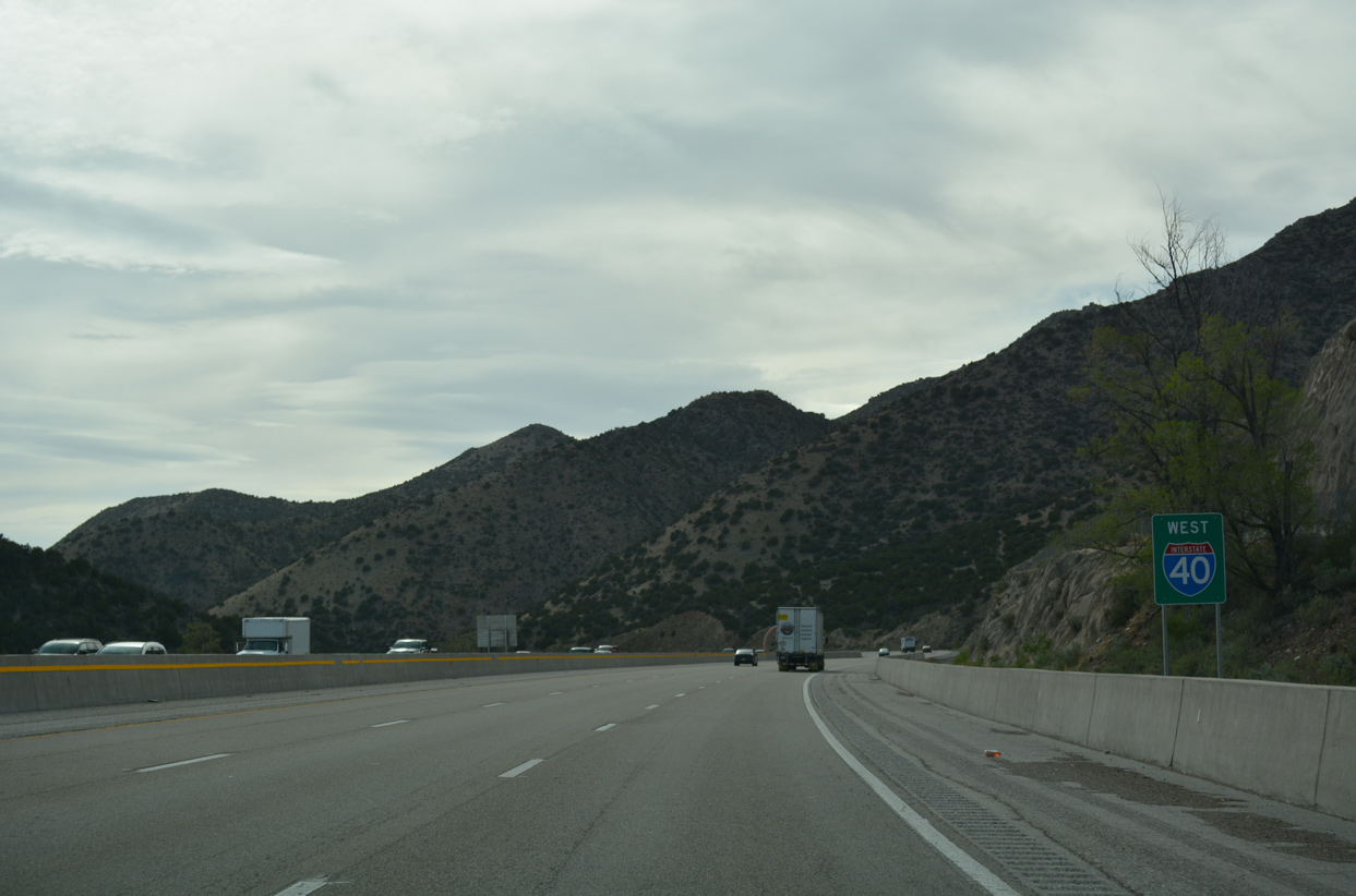
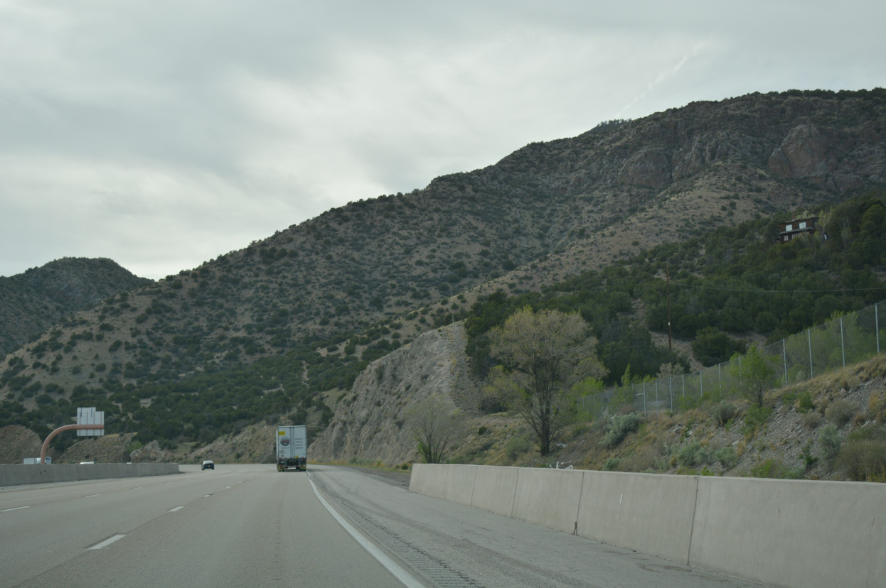
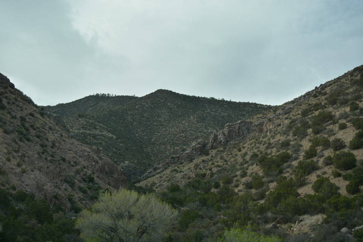
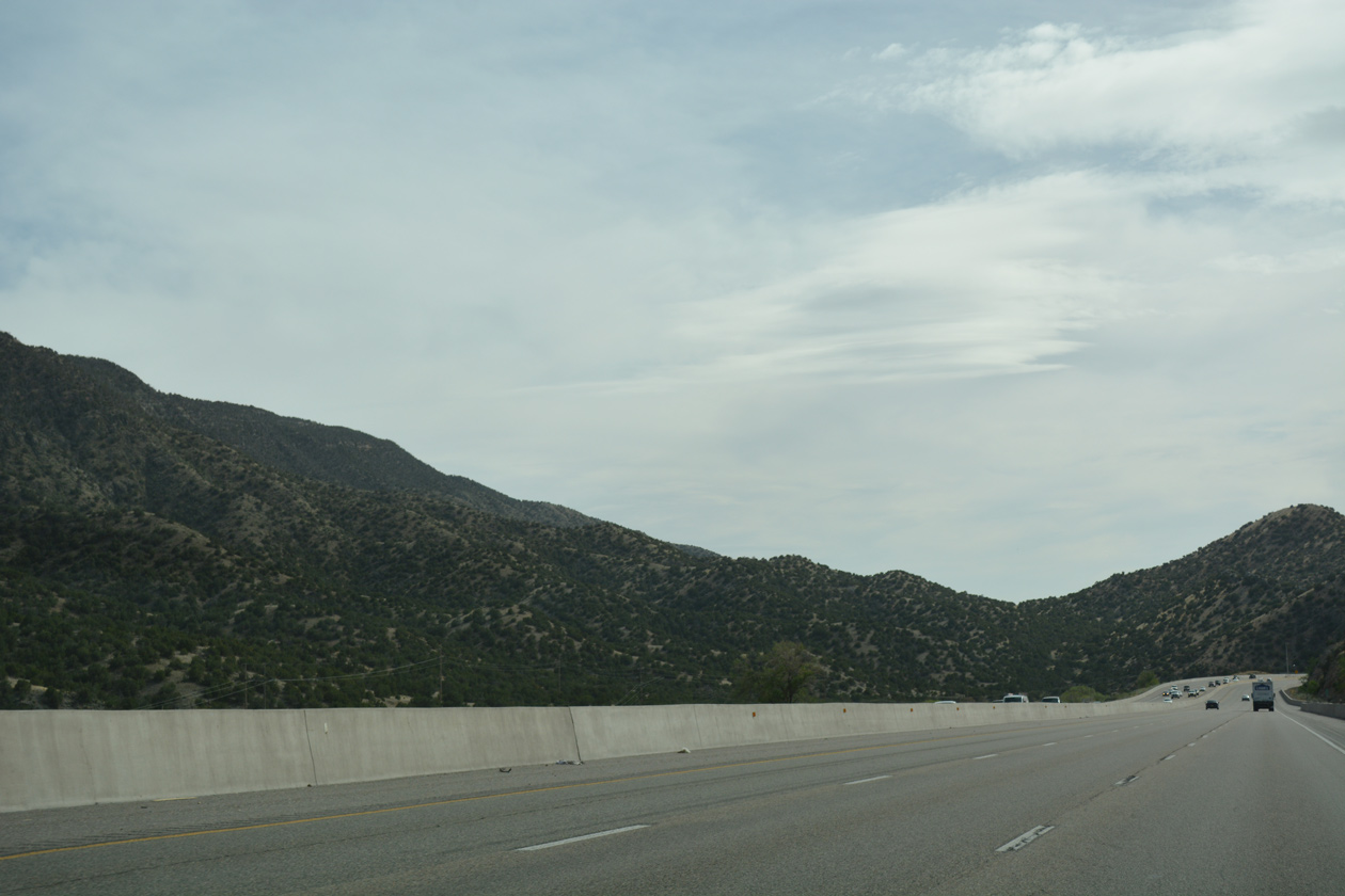
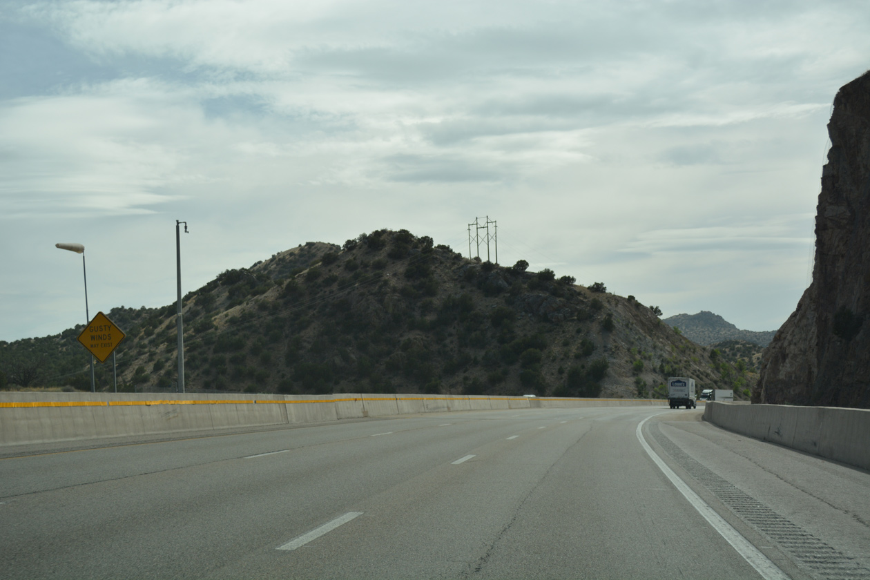
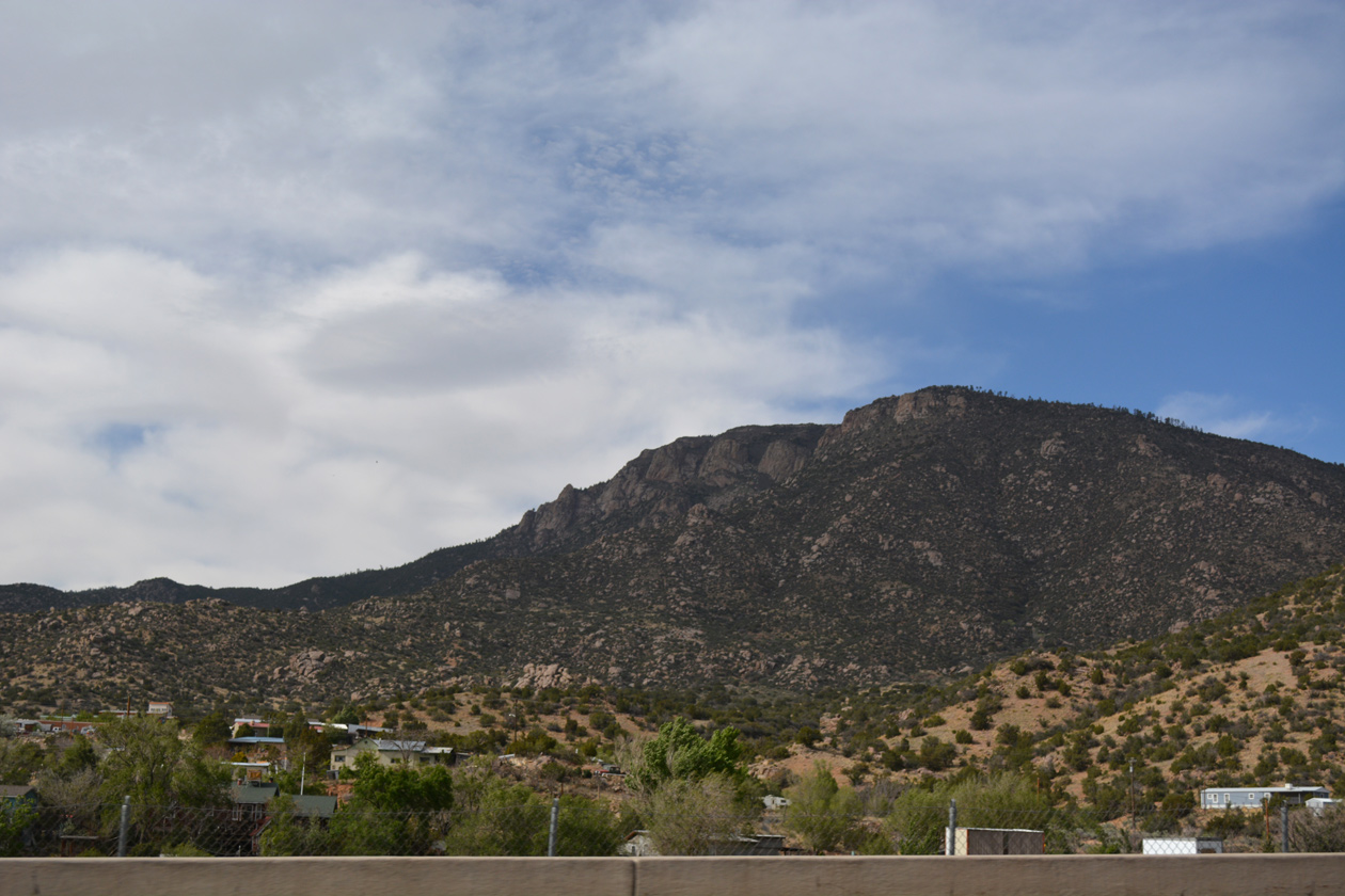
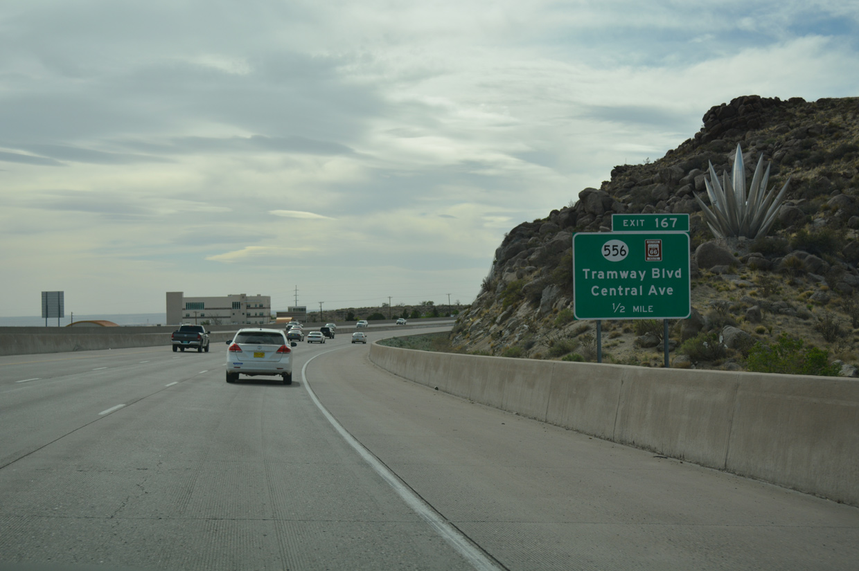
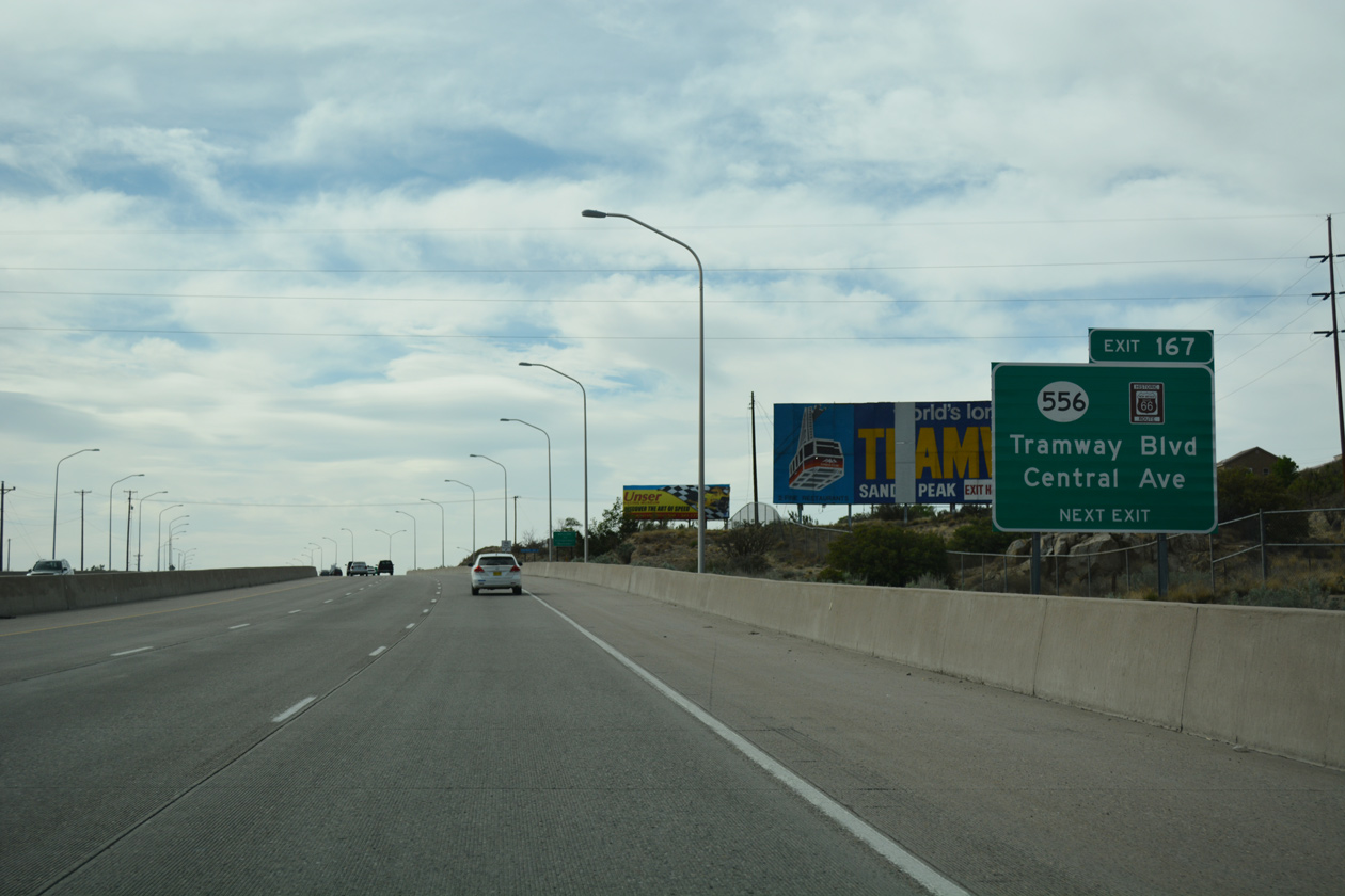
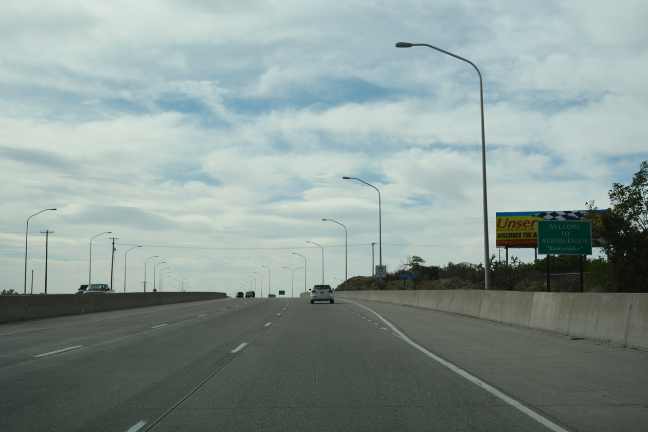
Navigating through Tijeras Canyon, Interstate 40 continues west, gradually lowering in elevation from 7,040 feet above sea level to 5,720 feet at the separation with Central Avenue (Historic U.S. 66). The winding stretch between Los Pinos and the East Gateway area of Albuquerque traverses areas of the Sandia Mountains through Cibola National Forest.
Work on the $9.7 million SPUI at Edgewood ran from January 16 to late 2003. Construction included new overpasses for Interstate 40 and widening 0.4 miles of NM 344.1
 West
West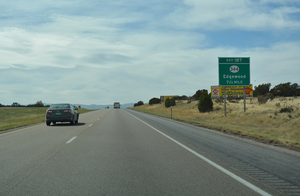
04/24/17
04/24/17
04/24/17
04/24/17
04/24/17
04/24/17
04/24/17
04/24/17
04/24/17

04/24/17
04/24/17
04/24/17
04/24/17
04/24/17
04/24/17
04/24/17
04/24/17
04/24/17
04/24/17
04/24/17
04/24/17
04/24/17

04/24/17
04/24/17
04/24/17
04/24/17
04/24/17
04/24/17
04/24/17
04/24/17
04/24/17
04/24/17
04/24/17
04/24/17
04/24/17
04/24/17
04/24/17
04/24/17
04/24/17
04/24/17
04/24/17


References:
- "Traffic Safety Bureau Will Roll Out 2002 Trends." Albuquerque Journal (NM), January 16, 2003.
Photo Credits:
- ABRoads: 04/24/17
Page Updated Friday June 28, 2019.