
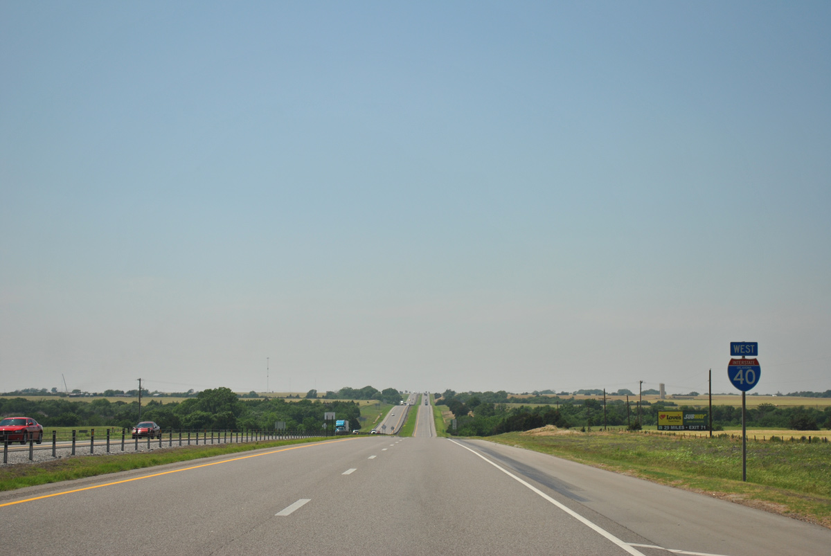
Interstate 40 West - Yukon to Hydro

 West
West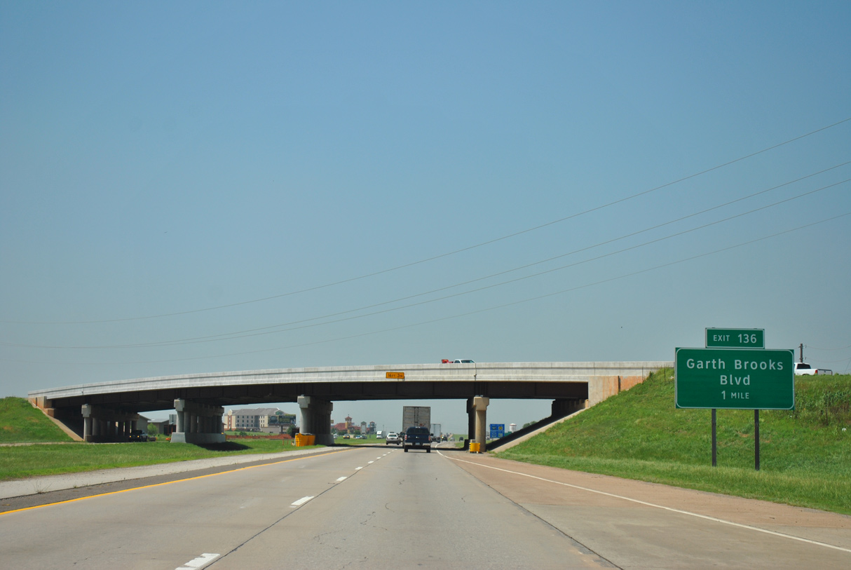
I-40/U.S. 270 angle northwest into the Yukon city limits at NW 10th Street, 0.6 miles from Exit 136 to Garth Brooks Boulevard.
05/05/12
05/05/12

05/05/12
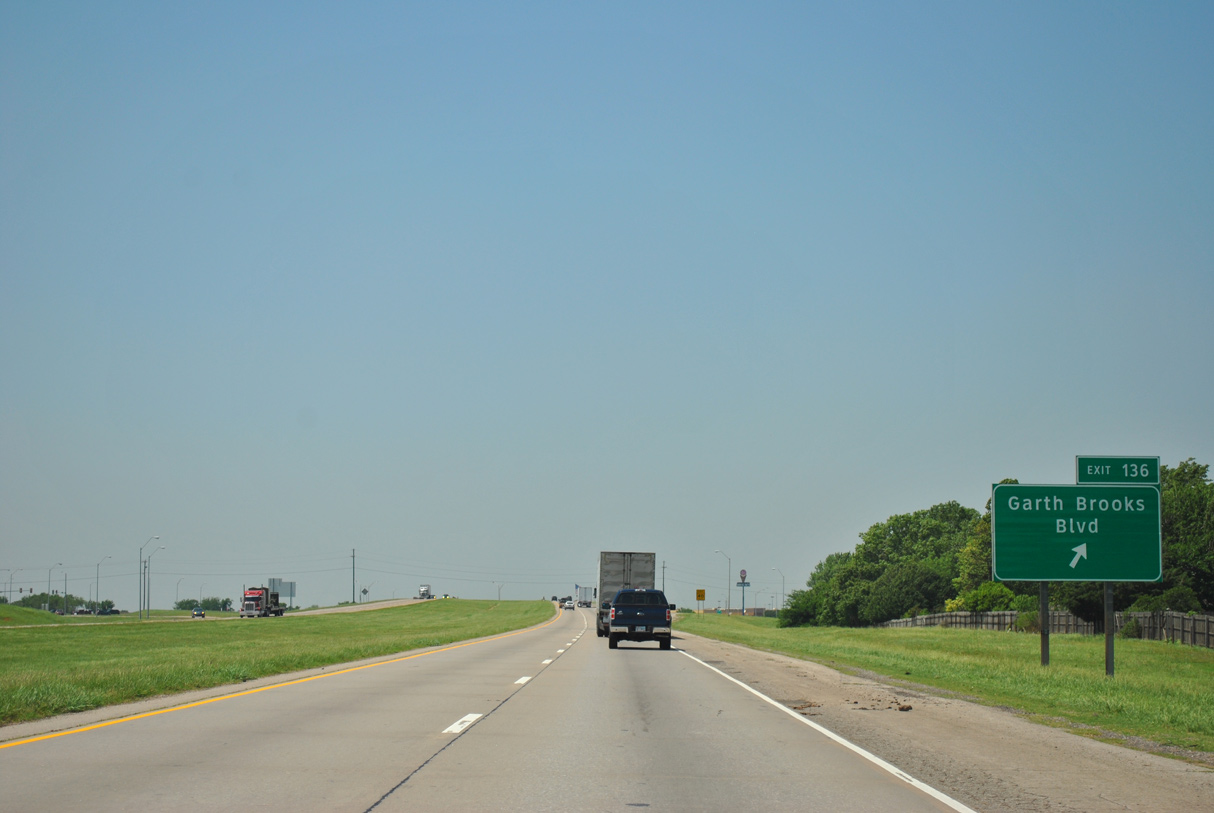
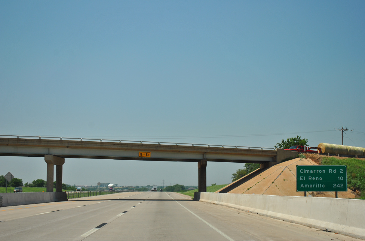
Garth Brooks Boulevard constitutes a commercial arterial at the diamond interchange (Exit 136) with IH 40/U.S. 270. Formerly part of SH 92, Cemetery Road extends south from Yukon into Oklahoma City.
05/05/12
05/05/12
05/05/12
05/05/12
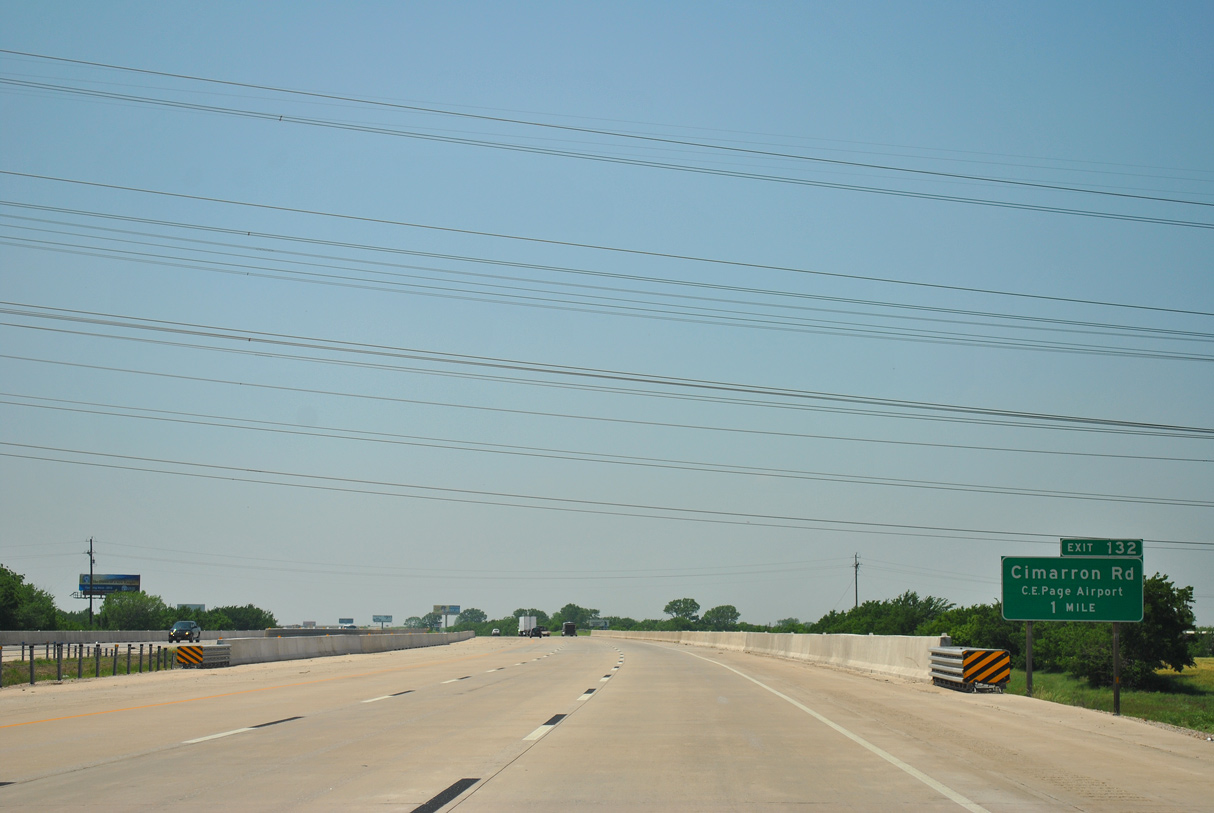
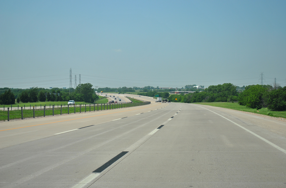
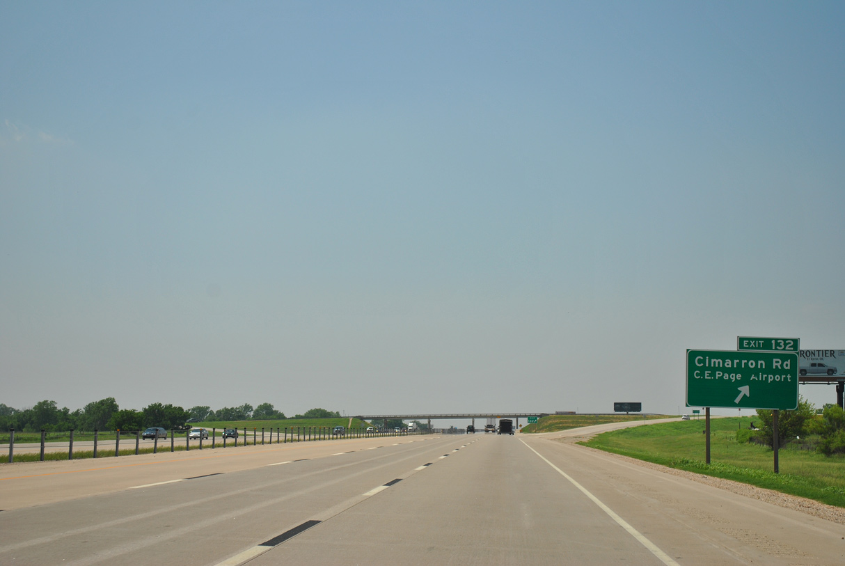
IH 40/U.S. 270 reenter Oklahoma City ahead of Exit 132 to Cimarron Road and Clarence E. Page Municipal Airport (RCE).
05/05/12
05/05/12
05/05/12
05/05/12
05/05/12
05/05/12
05/05/12
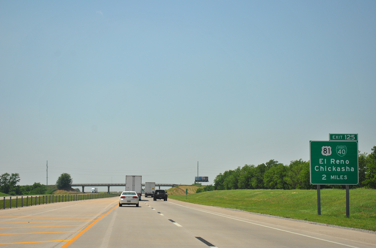
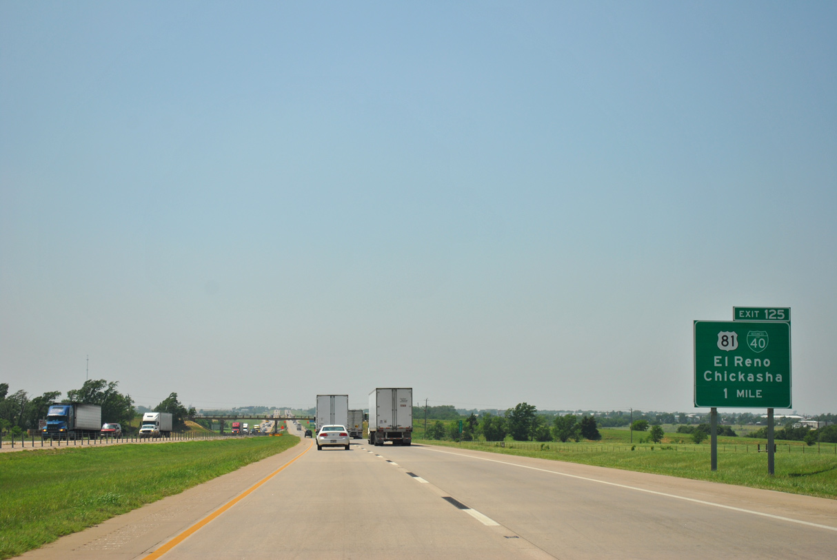
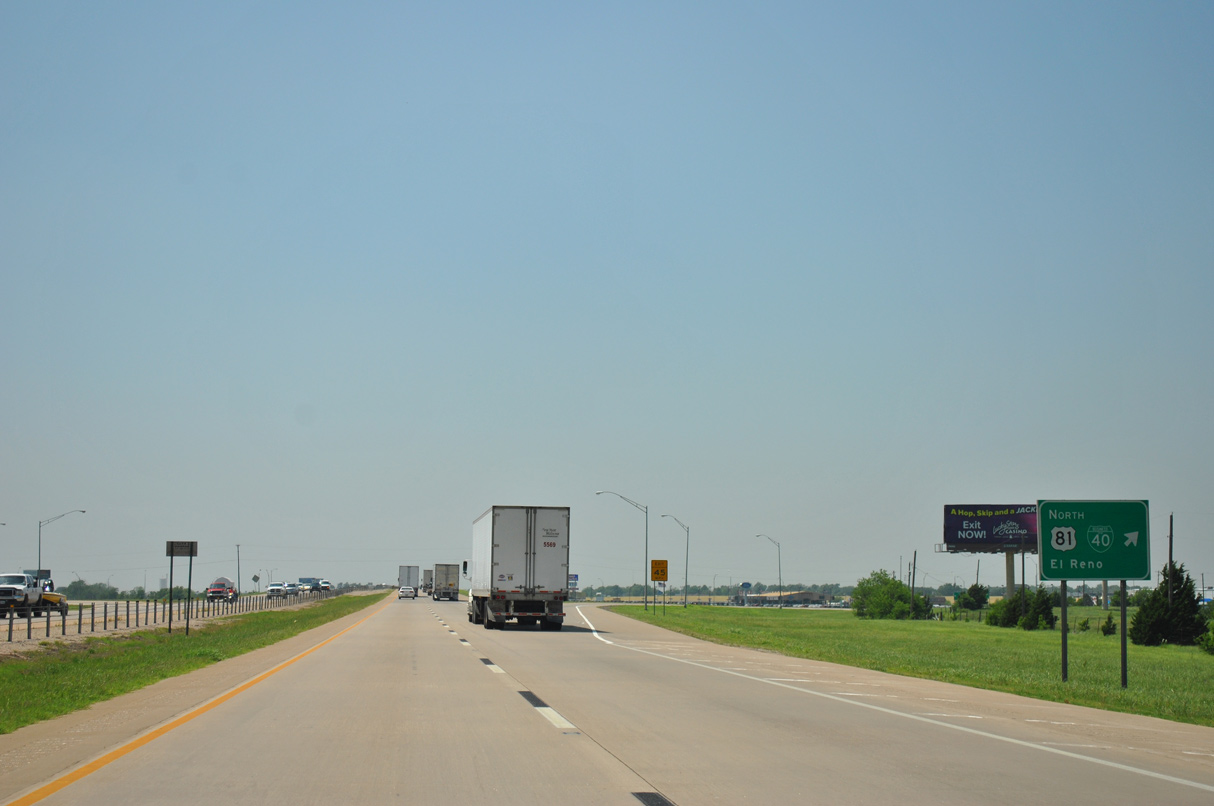
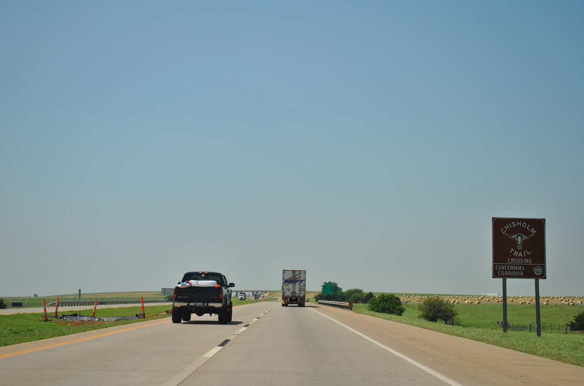
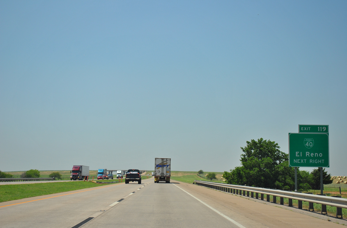
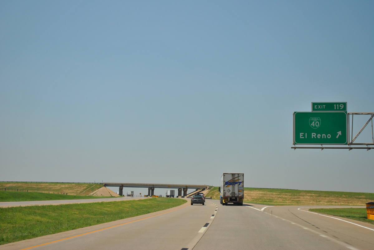
The El Reno Business Loop from I-40 overlays part of U.S. 81 and Historic U.S. 66 along a 7.84 mile course between Exit 125 and 119.
05/05/12
05/05/12
05/05/12
05/05/12
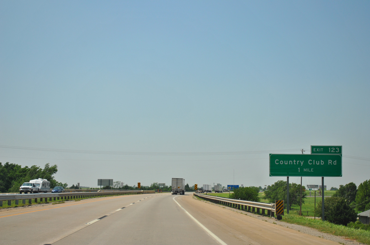
Curving northward, IH 40/U.S. 270 next meet S Country Club Road at a commercialized diamond interchange (Exit 123).
05/05/12
05/05/12
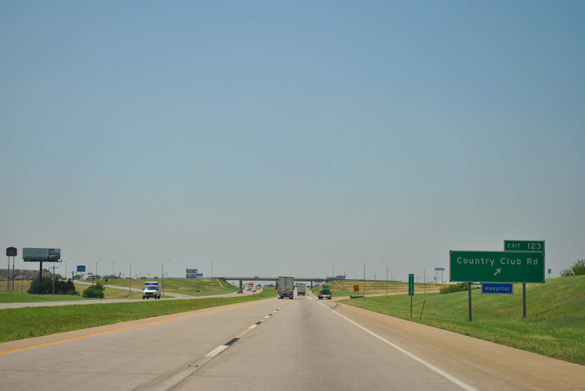
Country Club Road heads 1.67 miles north from Interstate 40 to Redlands Community College and Business Loop I-40/Historic U.S. 66 (Sunset Drive) in El Reno.
05/05/12
05/05/12
05/05/12
05/05/12
Passing south fo Lake Rolla, Interstate 40 leaves the El Reno city limits ahead of a trumpet interchange with the west end of Business Loop I-40.
05/05/12
05/05/12
05/05/12
05/05/12
Business Loop I-40 arcs 0.75 miles northeast onto Historic U.S. 66. Historic U.S. 66 / old U.S. 270 parallel Interstate 40 a half mile to the north westward to Geary.
05/05/12
05/05/12
05/05/12

05/05/12
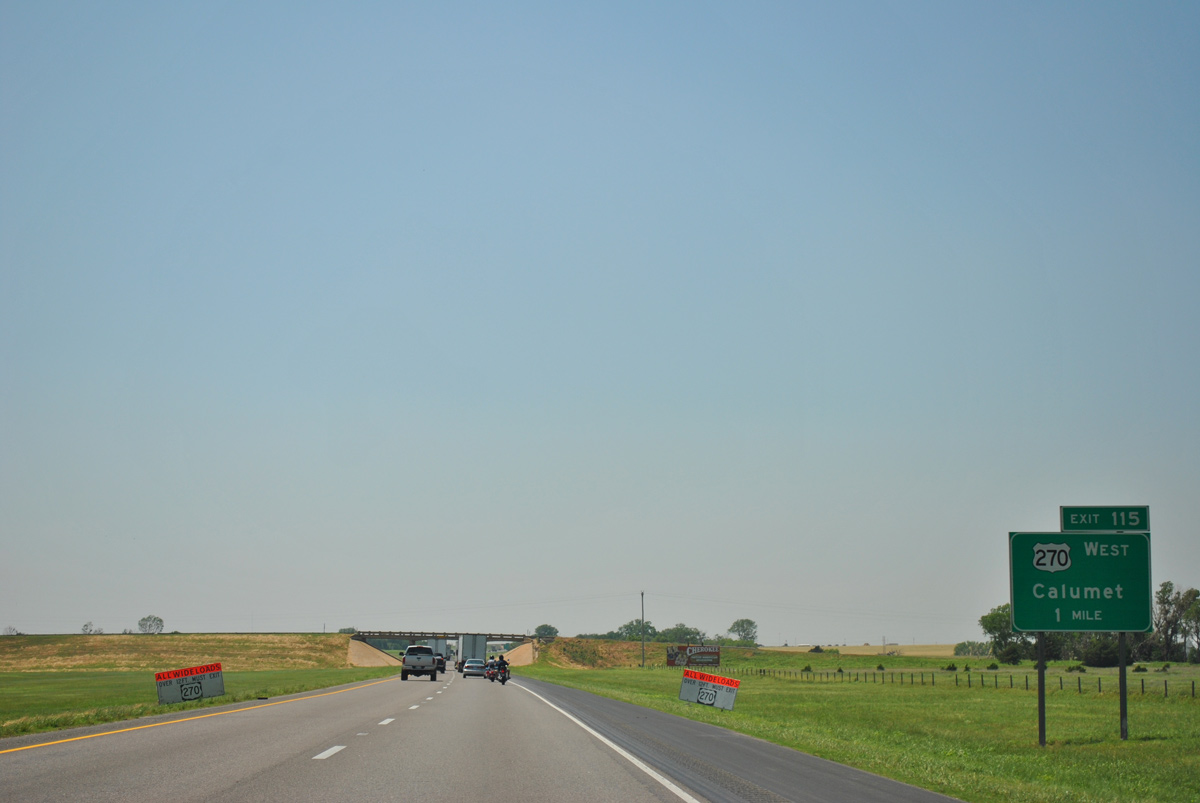
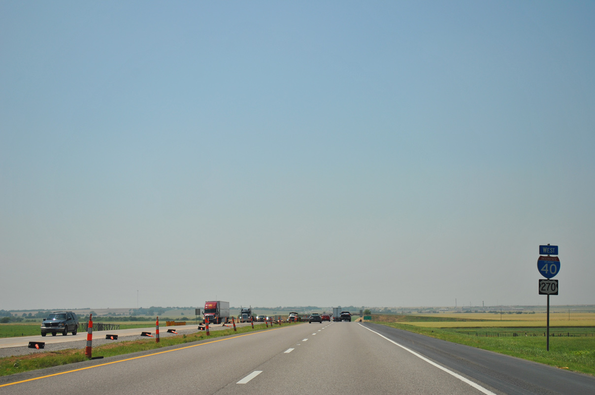
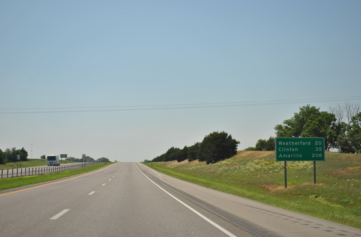
U.S. 270 concludes a 65.8 mile long overlap with Interstate 40 west from Shawnee at Exit 115.
05/05/12
05/05/12
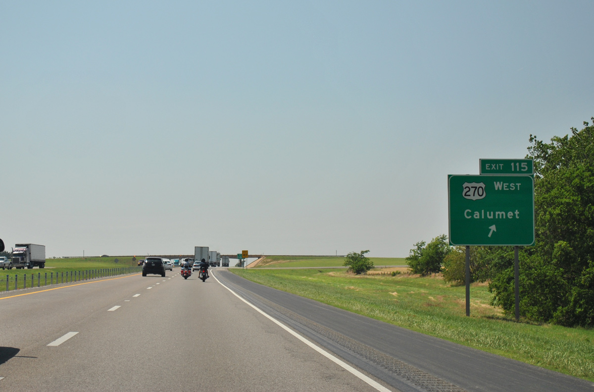
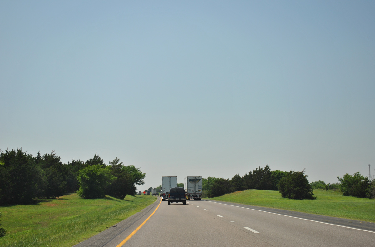
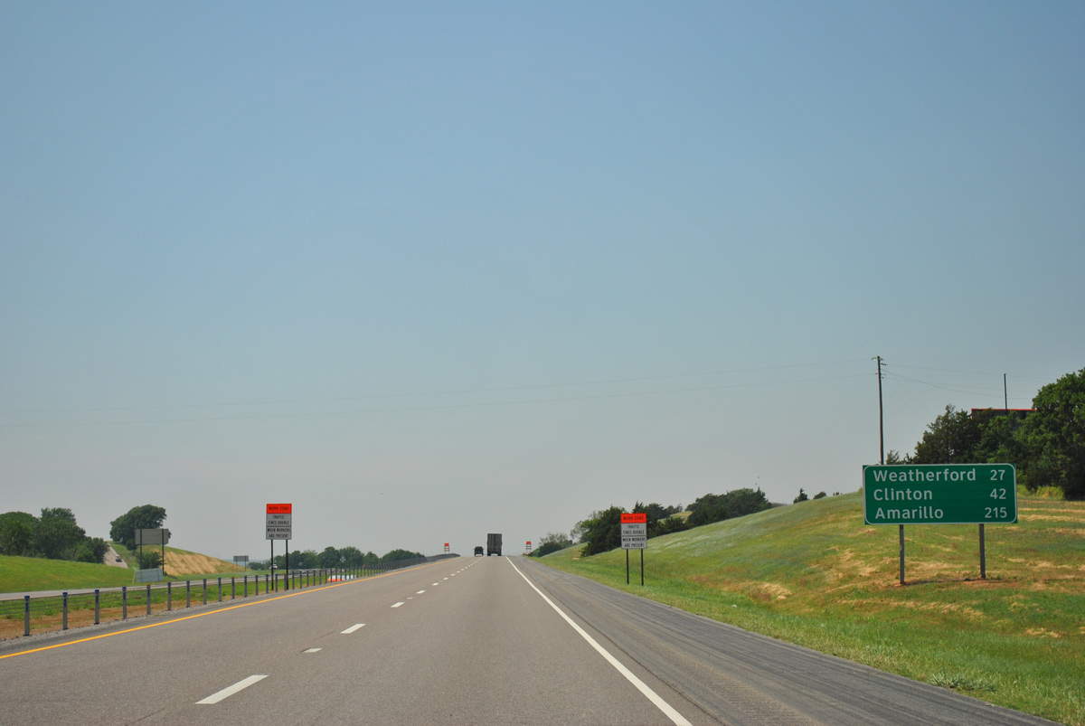
U.S. 270 heads 4.59 miles north into the town of Calumet and 16.56 miles northwest to U.S. 281/SH 8 in the city of Geary.
05/05/12
05/05/12
West
05/05/12
05/05/12
05/05/12
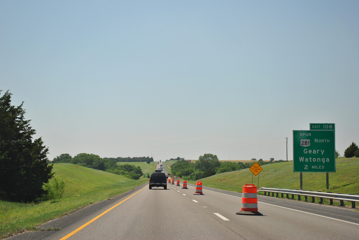
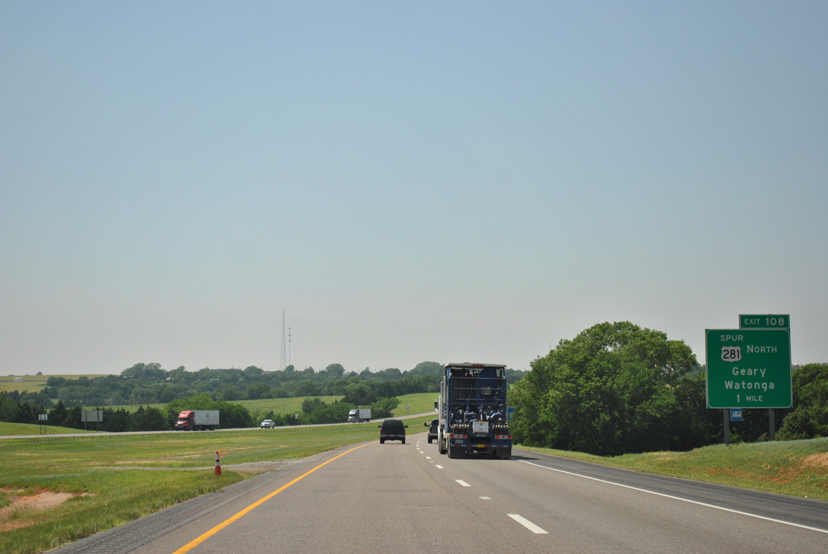
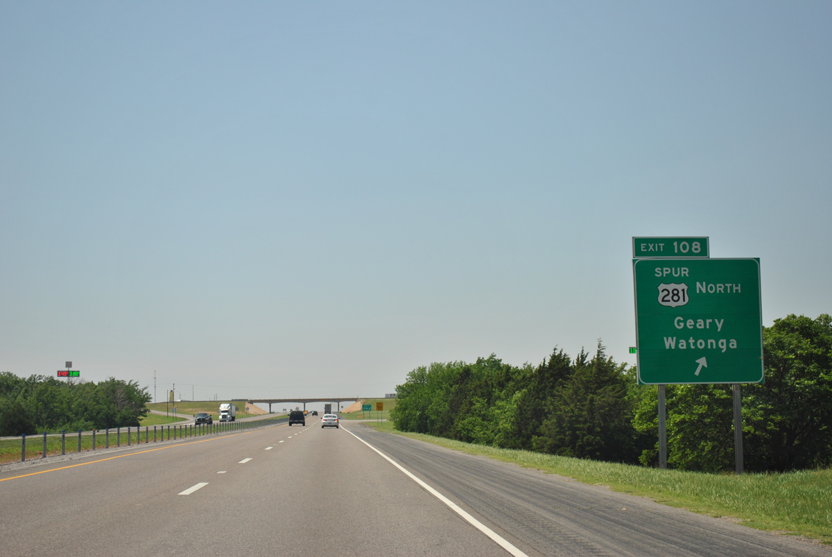
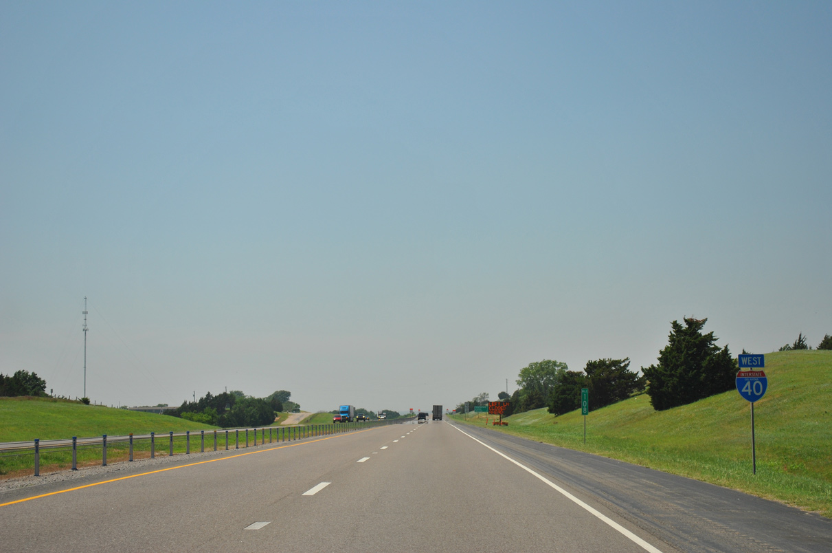
Linking Interstate 40 west with U.S. 281 through Geary, U.S. 281 Spur angles 4.24 miles northwest from Exit 108.
05/05/12
05/05/12
05/05/12
The Blaine County seat of Watonga lies 25 miles north of the diamond interchange at Exit 108 along U.S. 270/281-SH 8 at SH 3.
05/05/12
05/05/12
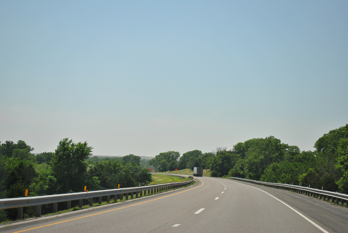
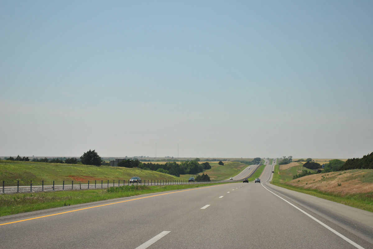
Interstate 40 crosses a ridge ahead of Canyon View Creek.
05/05/12
05/05/12
05/05/12
Curving southwest, Interstate 40 advances across the South Canadian River.
05/05/12
05/05/12
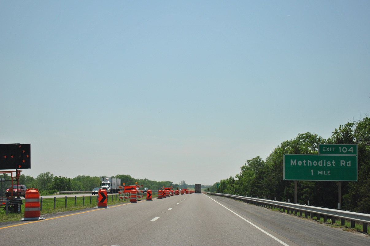
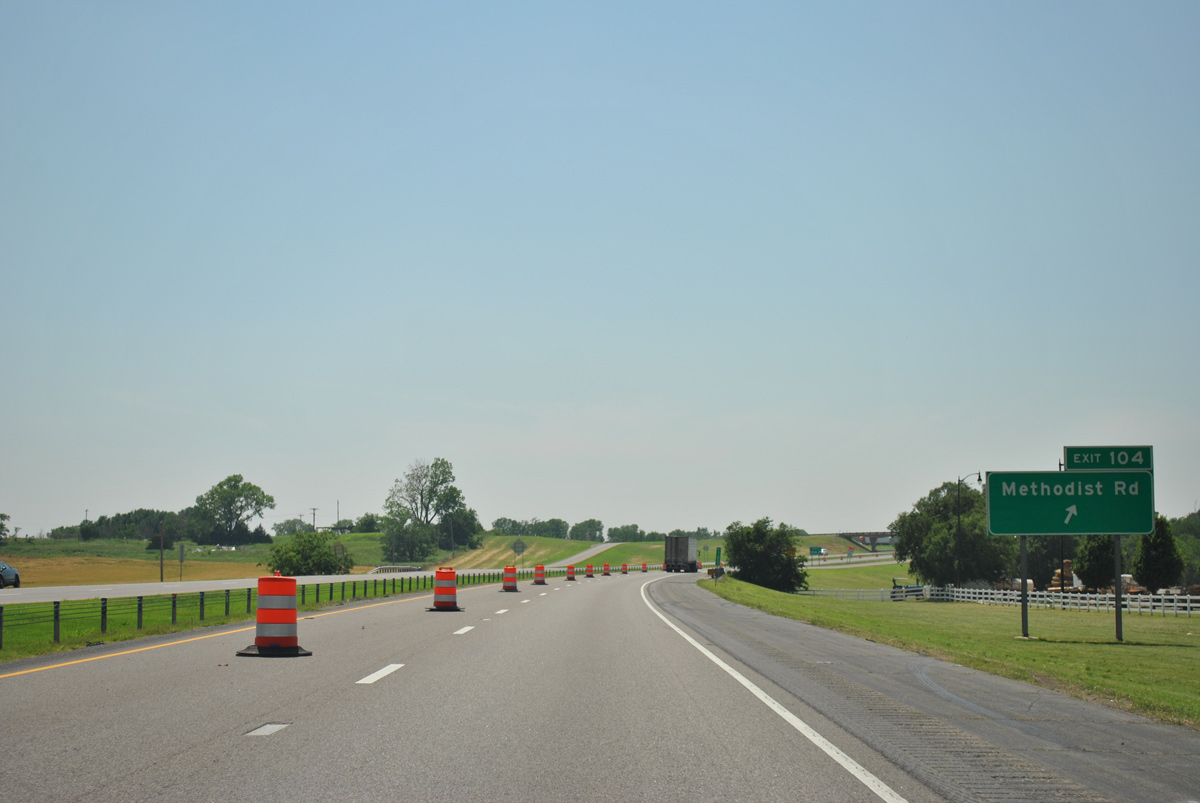
Methodist Road ties into Interstate 40 at Exit 104 a half mile east of the Caddo County line.
05/05/12
05/05/12
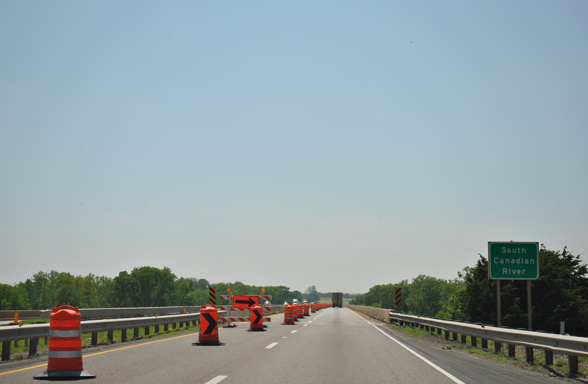
The Interstate 40 bridges spanning the South Canadian River were rebuilt with construction completed on September 30, 2016.
05/05/12
05/05/12
05/05/12
05/05/12
05/05/12
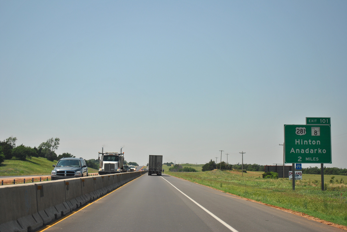
U.S. 281/SH 8 converge with Interstate 40 at the succeeding exit on the north side of Hinton.
05/05/12
05/05/12
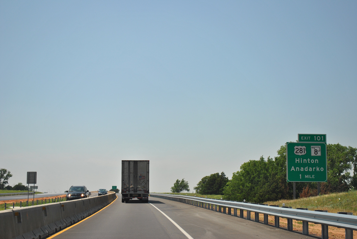
U.S. 281/SH 8 run south along Broadway Avenue to Downtown Hinton and Red Rock Canyon State Park.
05/05/12
05/05/12
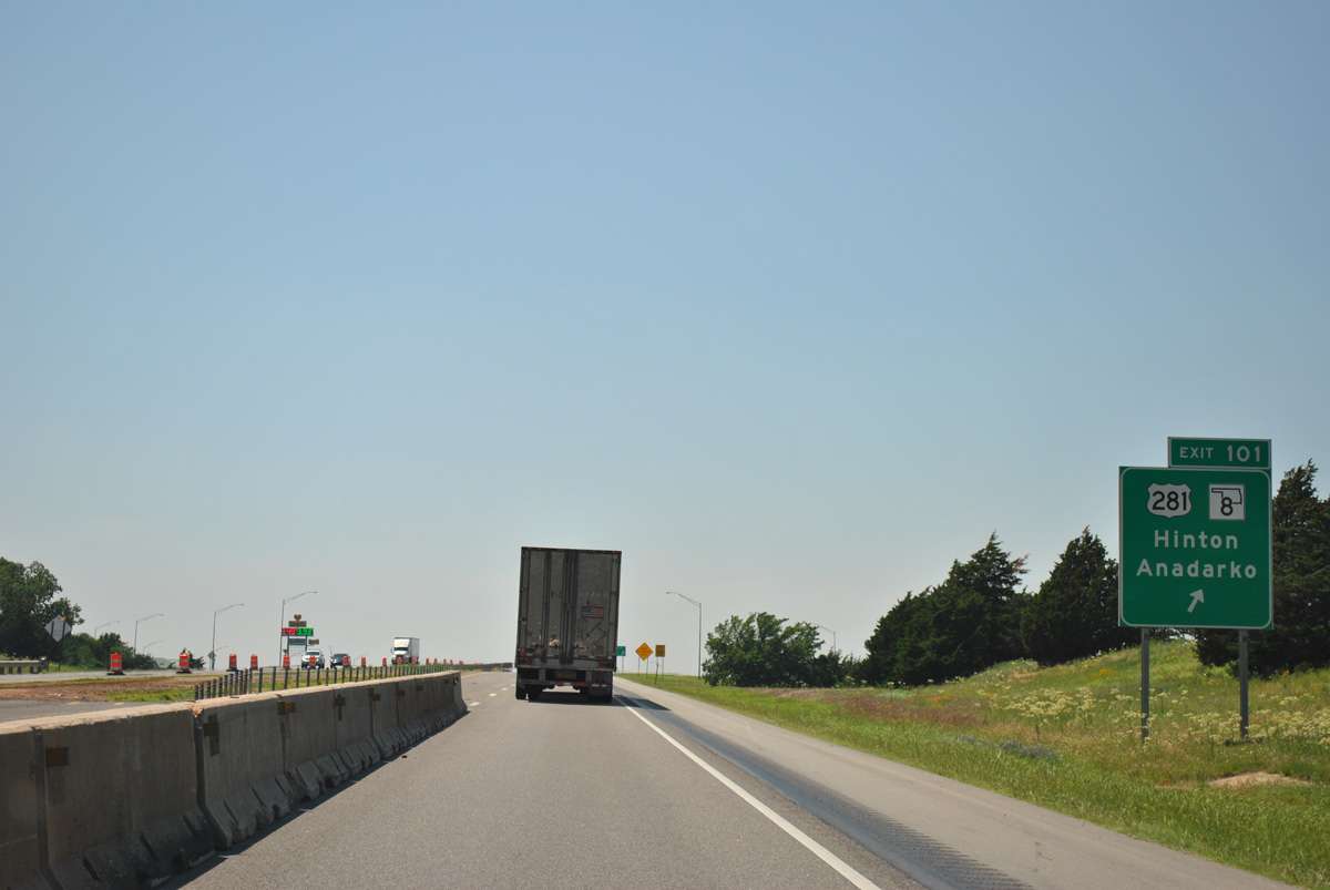
U.S. 281/SH 8 overlap 36.5 miles south to U.S. 62 in Anadarko.
05/05/12
05/05/12
05/05/12
05/05/12
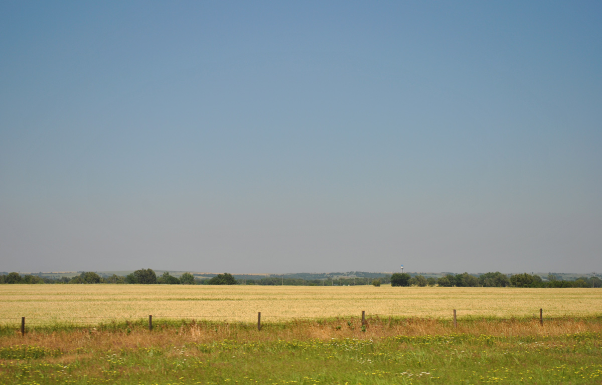
The town of Bridgeport lies beyond Historic U.S. 66 along the northern horizon.
05/05/12
05/05/12
05/05/12
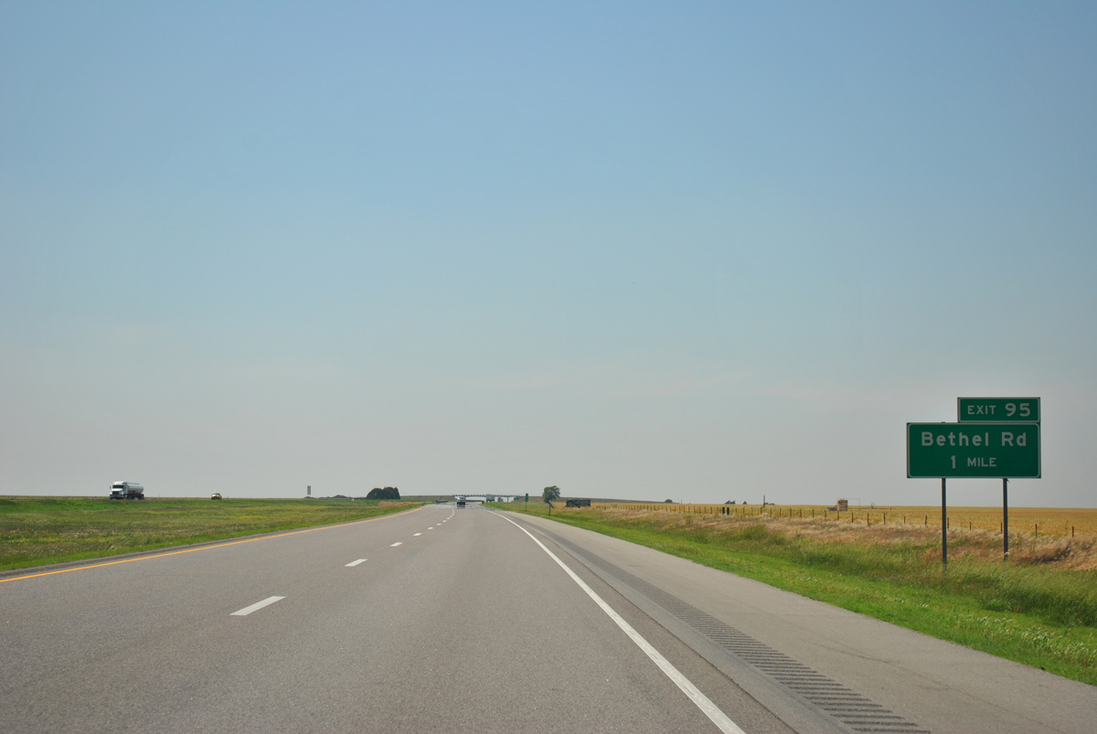
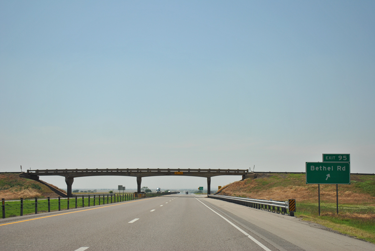
A parclo B2 interchange (Exit 95) links Interstate 40 with Bethel Road 0.51 miles south of Historic U.S. 66.
05/05/12
05/05/12
05/05/12
05/05/12
05/05/12
05/05/12
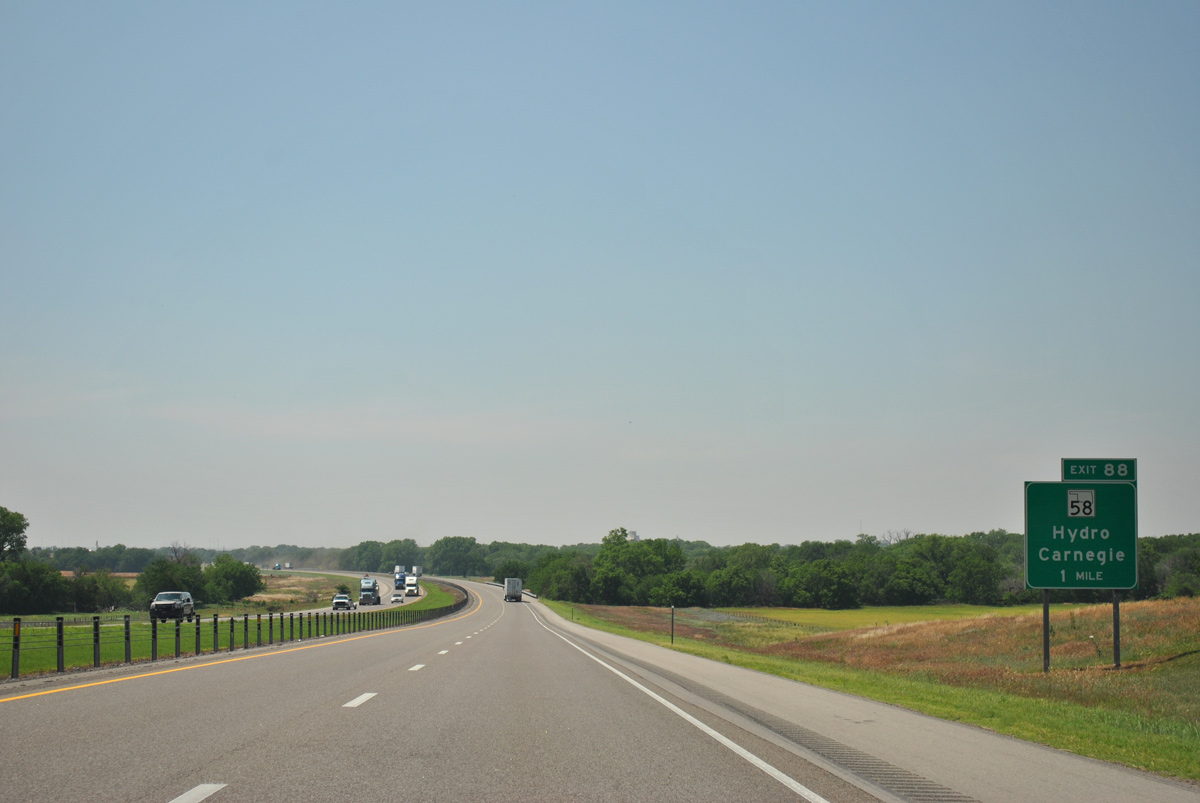
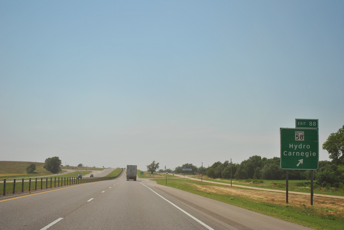
A split diamond interchange (Exit 88) joins Interstate 40 with SH 58 south of the town of Hydro.
05/05/12
05/05/12
05/05/12
Photo Credits:
- ABRoads: 05/05/12
Connect with:
Page Updated Tuesday July 12, 2022.