
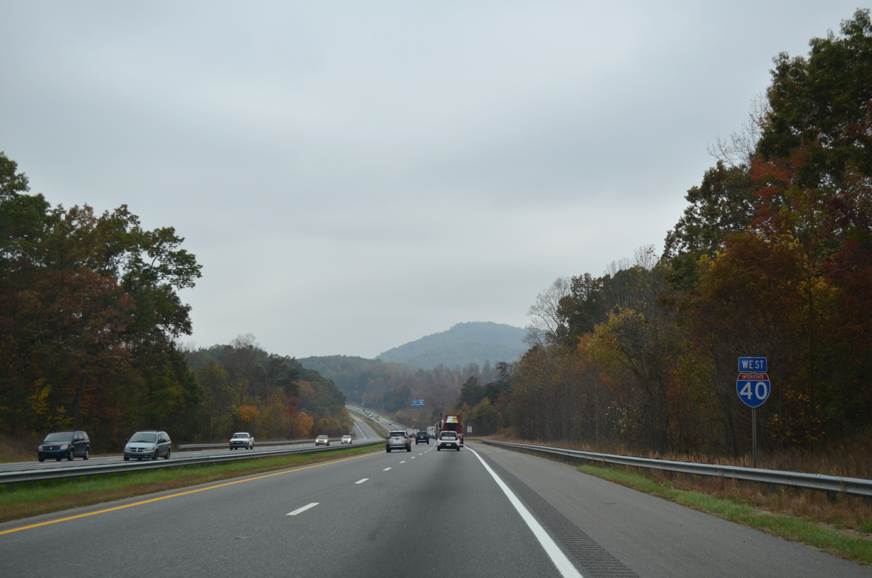
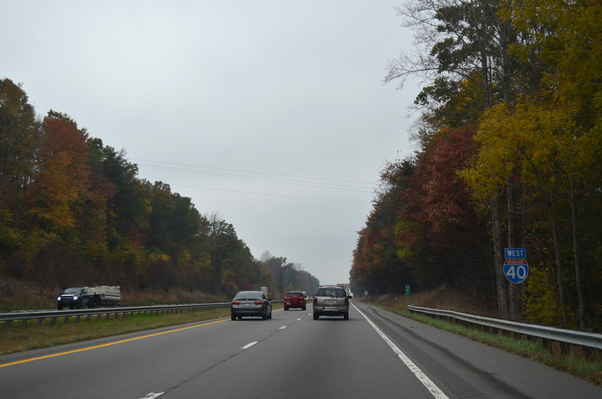
Interstate 40 West - Marion to Old Fort
 West
West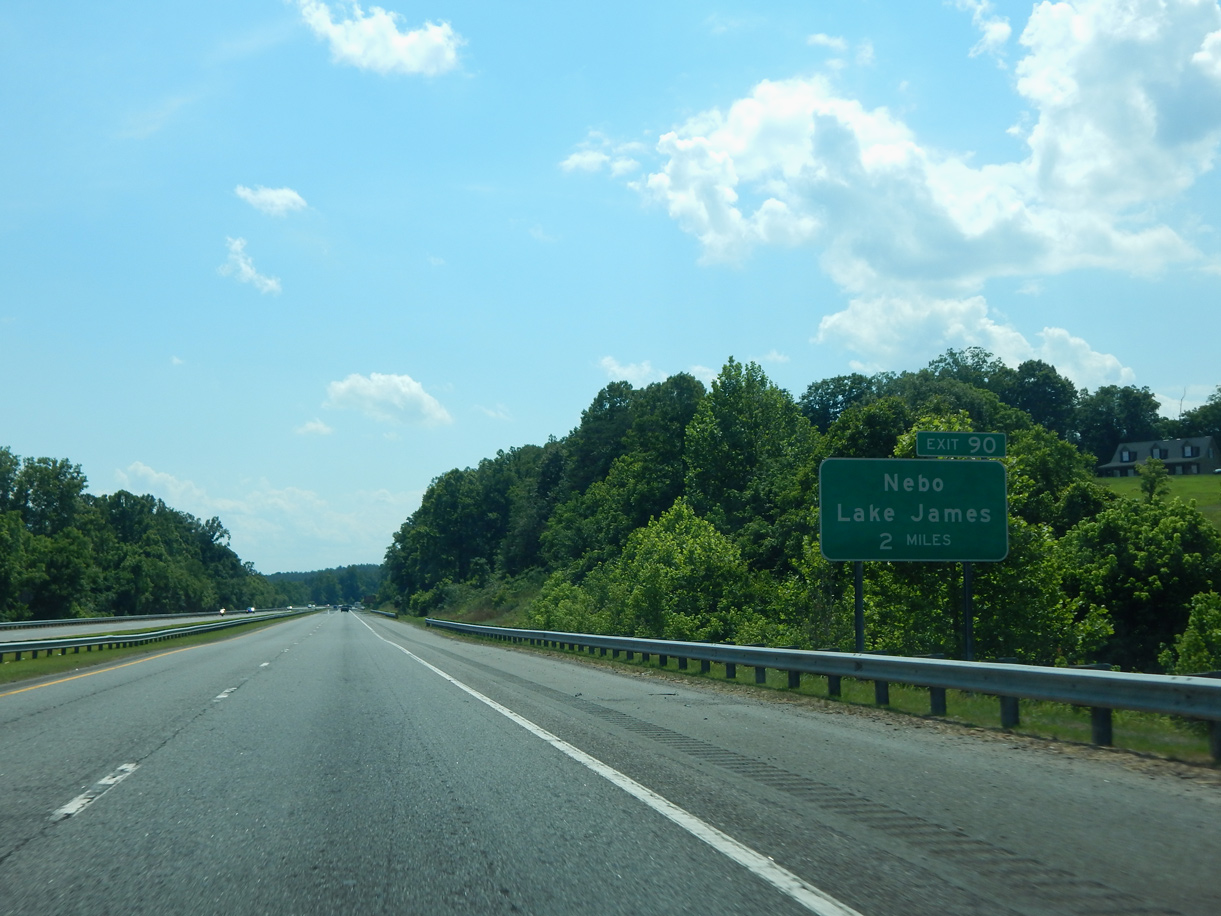
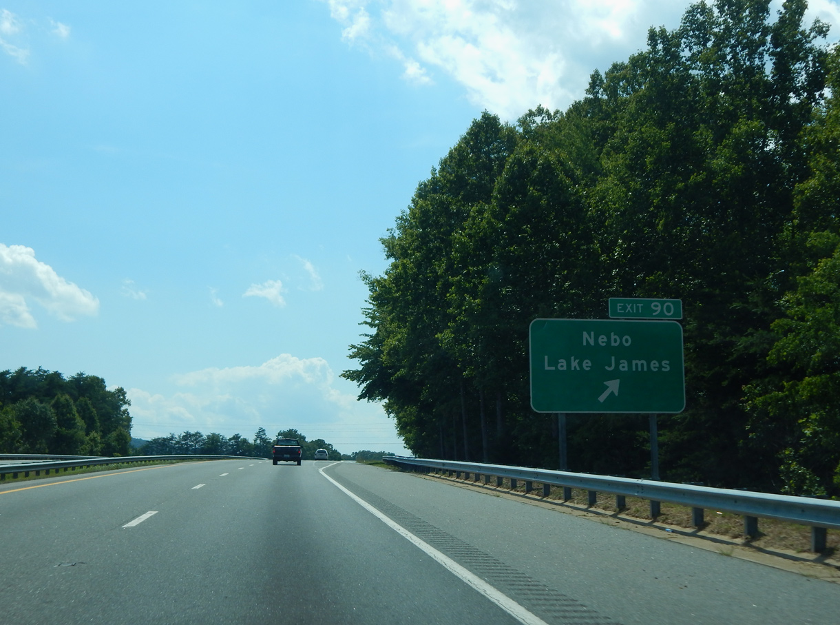
Interstate 40 navigates through a series of S-curves across South and North Muddy Creek west to Exit 90.
06/10/17
06/10/17
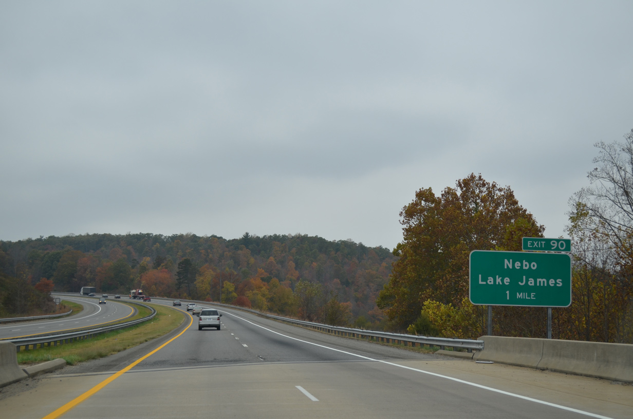
A parclo interchange (Exit 90) connects Interstate 40 with Harmony Grove Road (SR 1760) north to unincorporated Nebo.
10/24/15
10/24/15
The westbound ramps at the exchange (Exit 90) with Harmony Grove Road (SR 1760) originally tied into E Lawning Drive (SR 1759).
06/10/17
06/10/17
10/24/15
10/24/15
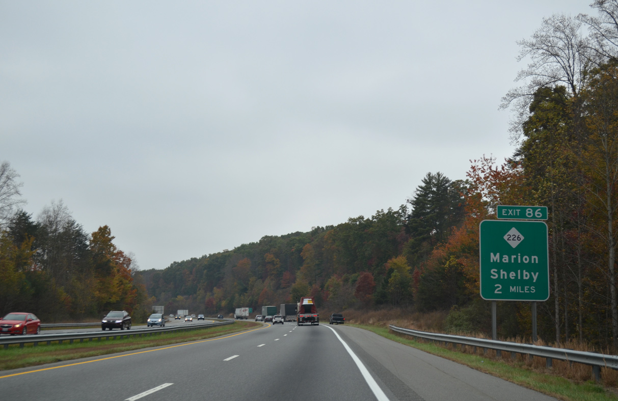
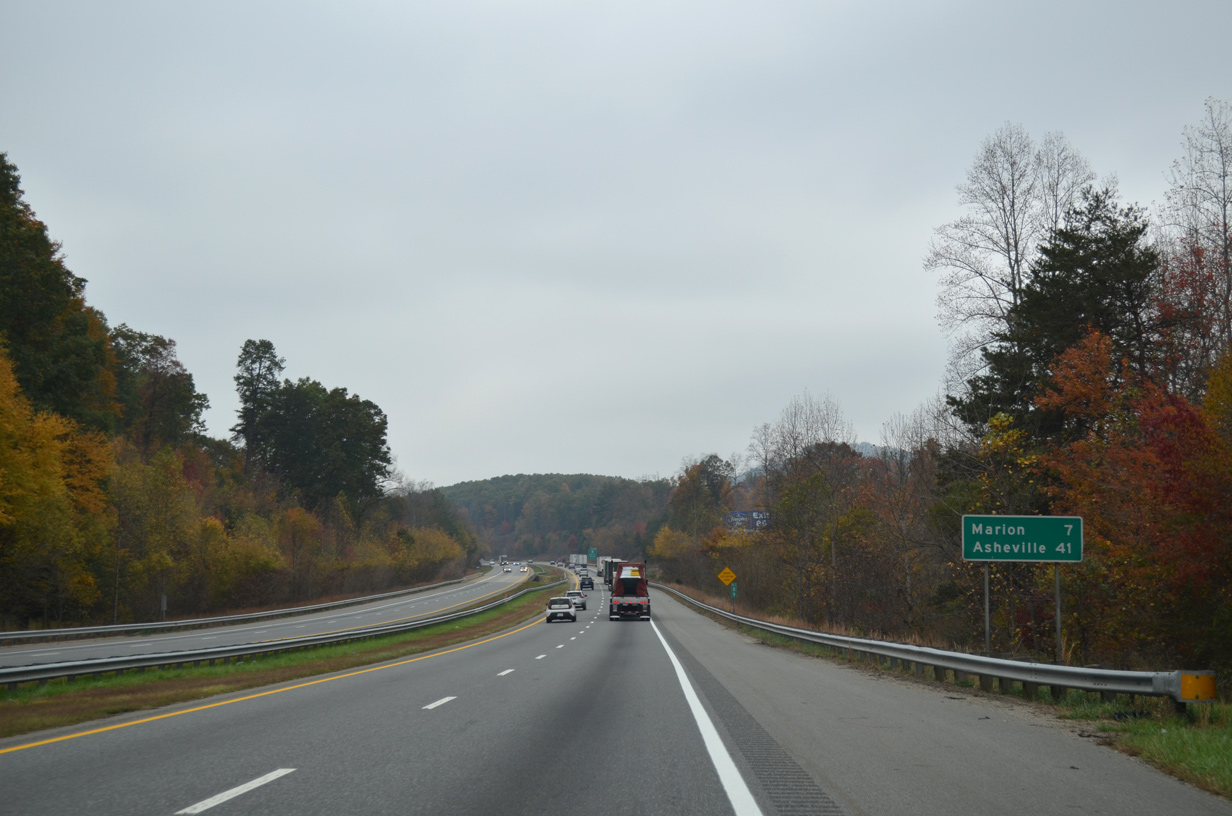
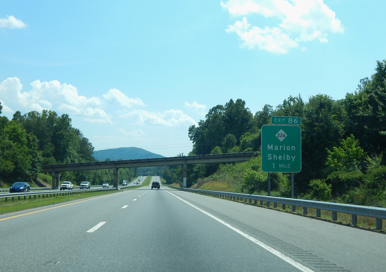
Interstate 40 arcs southwest between Gibbs and Reedy Mountains to a folded diamond interchange (Exit 86) with NC 226.
10/24/15
10/24/15
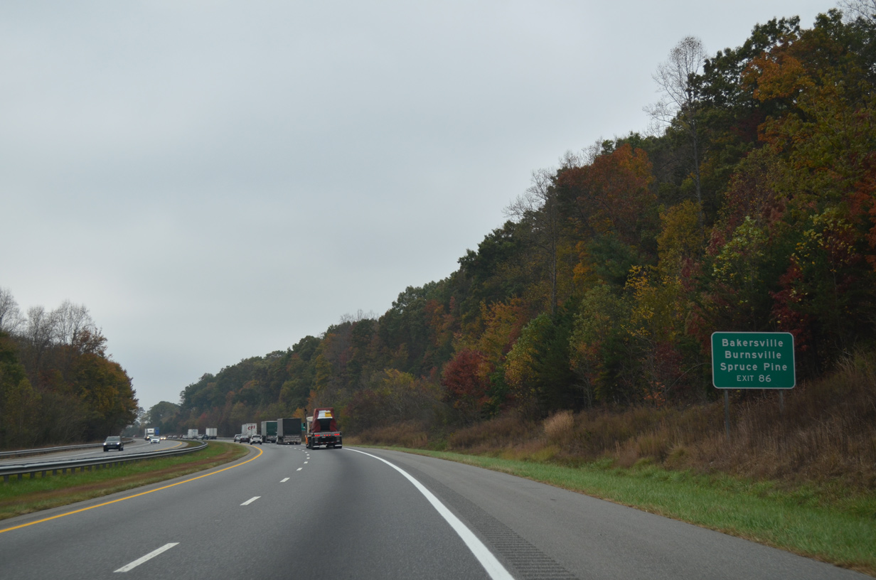
NC 226 combines with U.S. 221 along an expressway bypass of Marion. Northward, NC 226 leads to Spruce Pine and the Mitchell County seat of Bakersville.
10/24/15
10/24/15
06/10/17
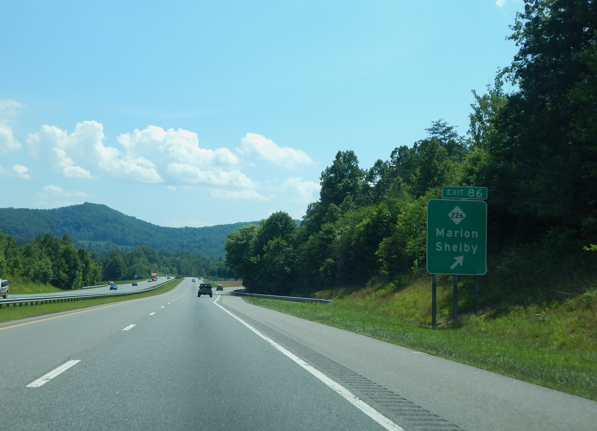
Regionally NC 226 joins Marion with Shelby to the southeast.
06/10/17
06/10/17
Smith Mountain rises along the south side of I-40 along the ensuing stretch.
10/24/15
10/24/15
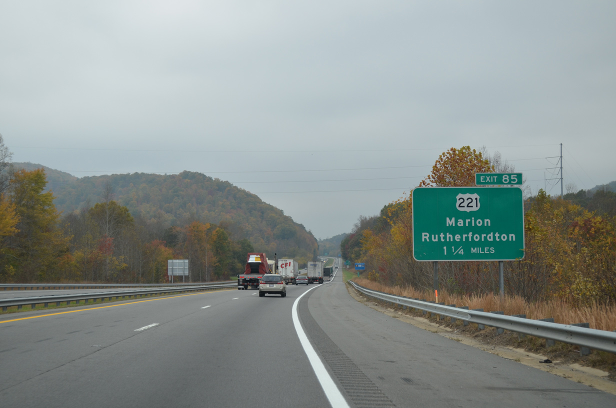
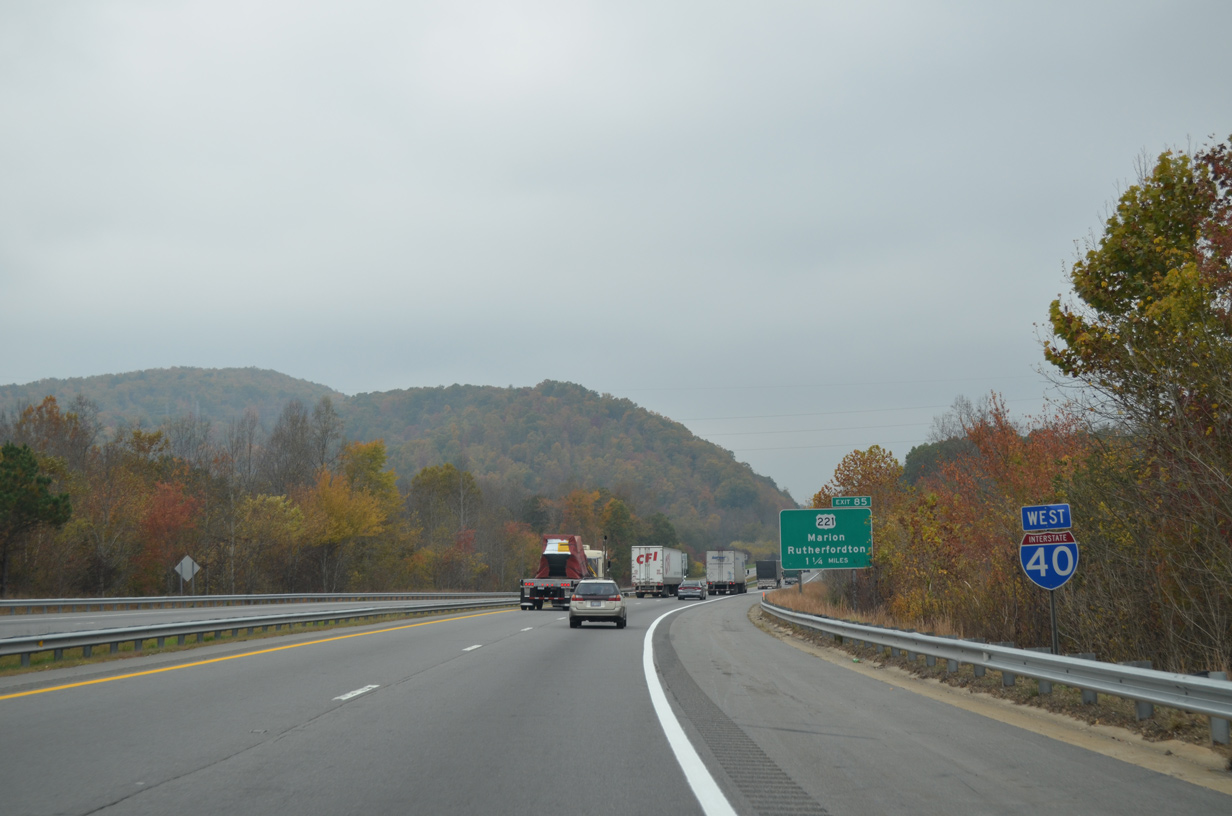
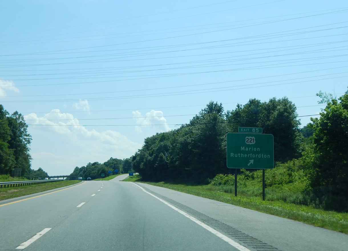
U.S. 221 branches southwest from NC 226 to a diamond interchange (Exit 85) with I-40 beside Grant Mountain.
10/24/15
10/24/15
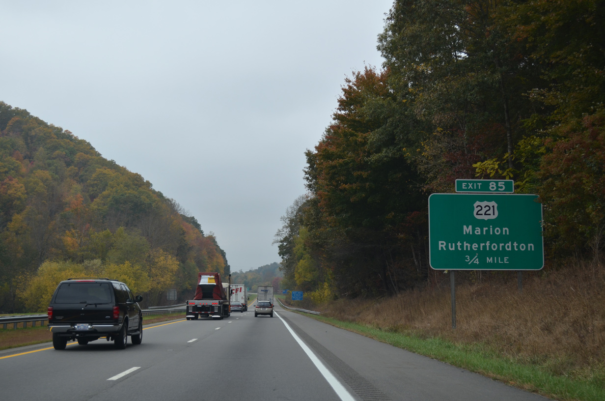
U.S. 221 travels south from Exit 85 to Glenwood, Thermal City and Rutherfordton.
10/24/15
10/24/15
10/24/15
06/10/17
10/24/15
10/24/15

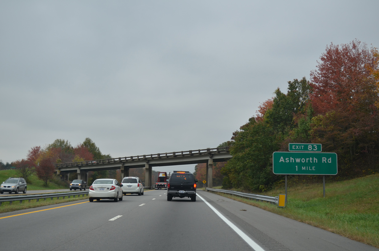
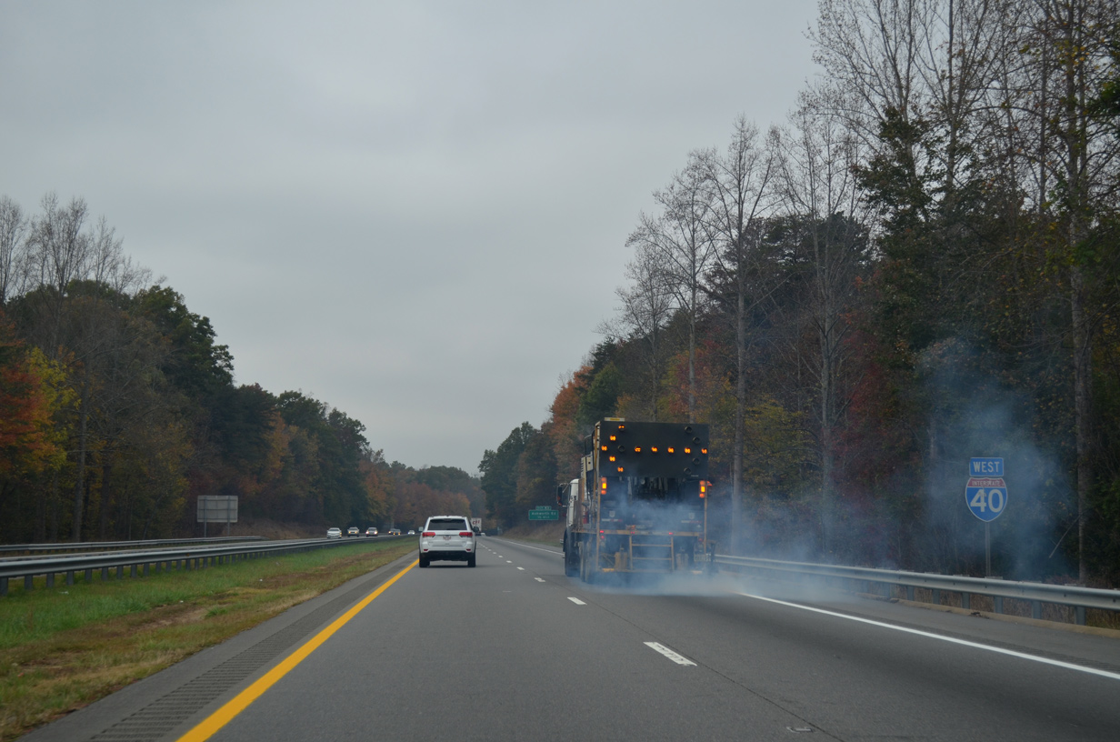
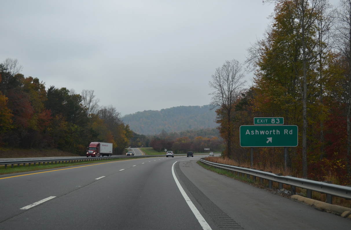
Ashworth Street (SR 1168) meanders northwest from U.S. 221 to West Marion.
10/24/15
10/24/15
10/24/15
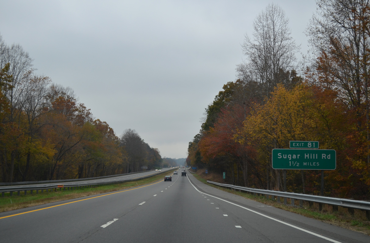
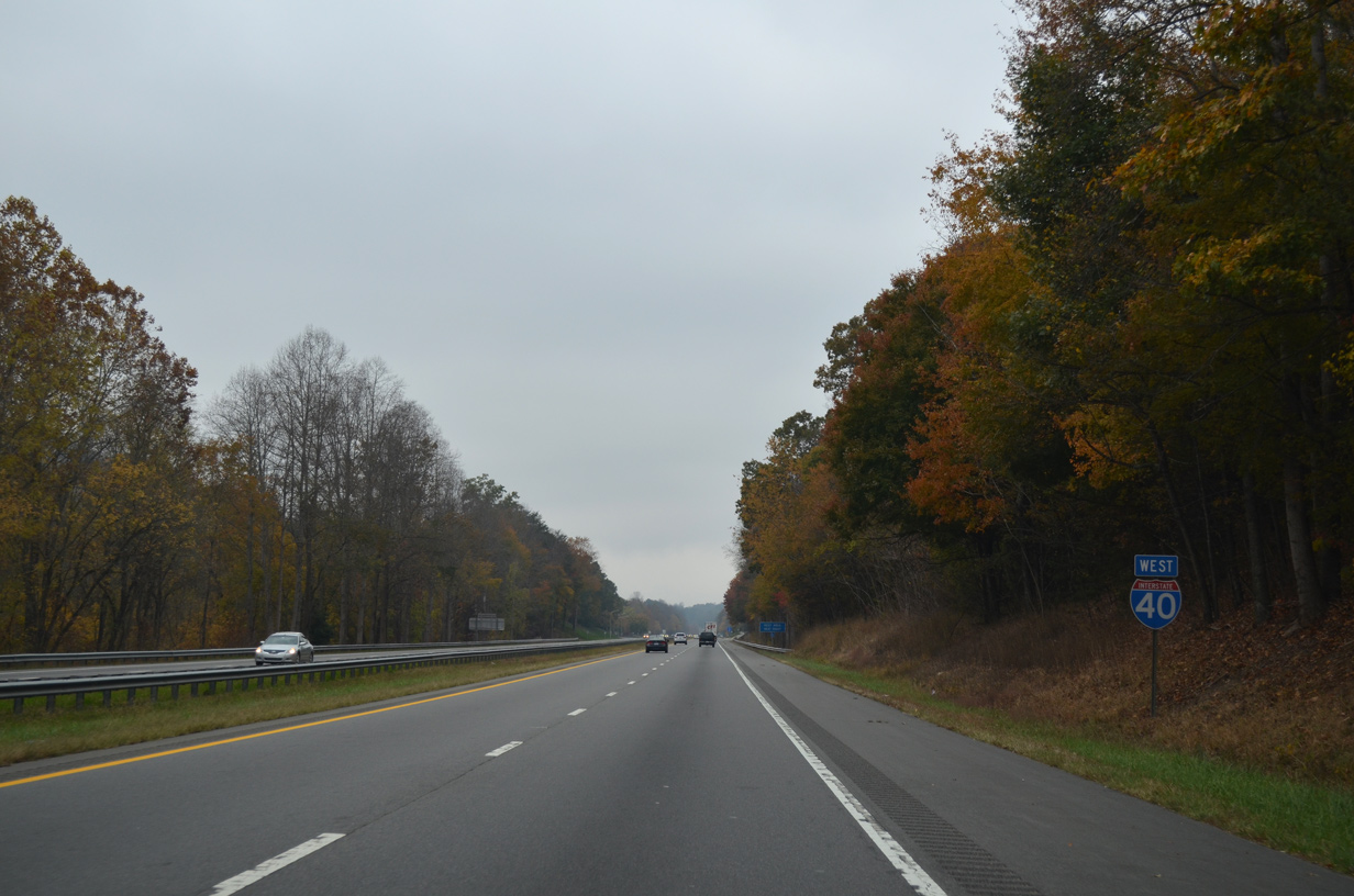
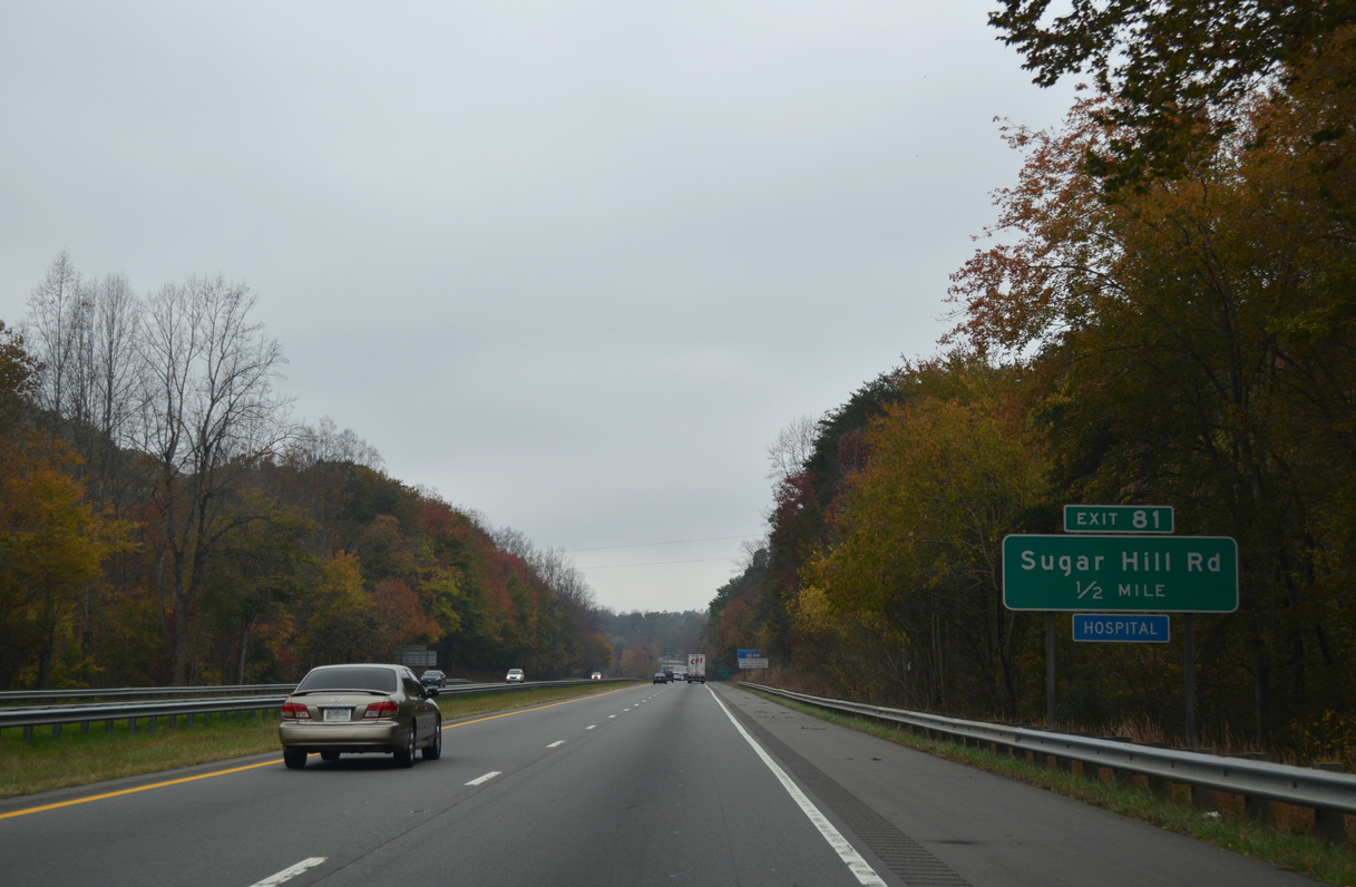
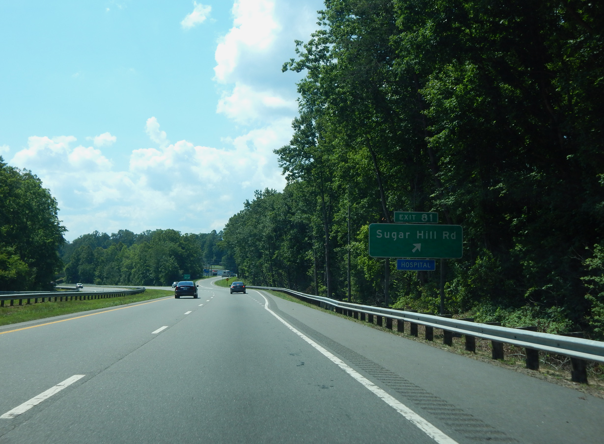
A five lane commercial boulevard, Sugar Hill Road (SR 1001) converges with Interstate 40 southwest from West Marion at Exit 81.
10/24/15
10/24/15
10/24/15
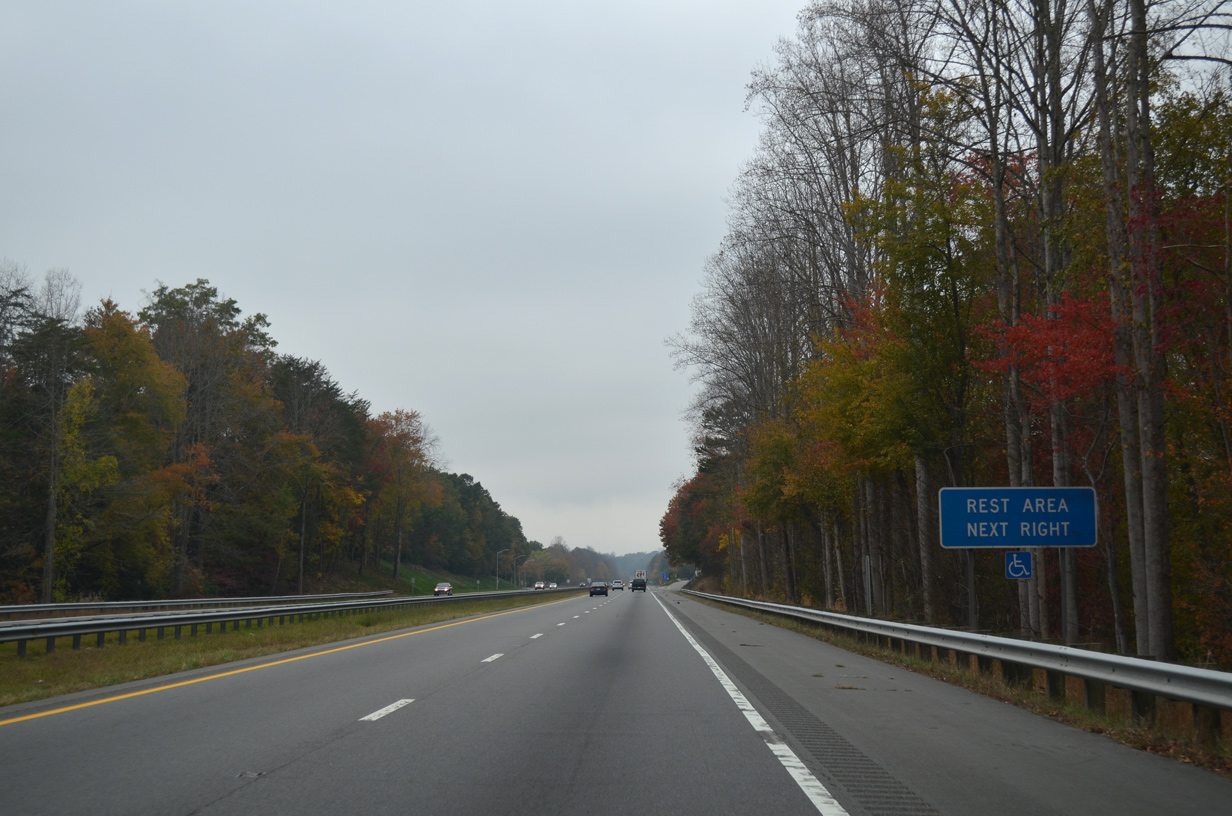
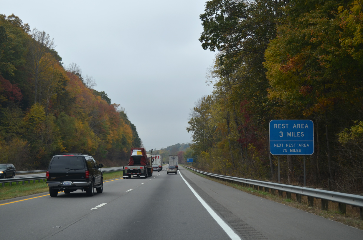
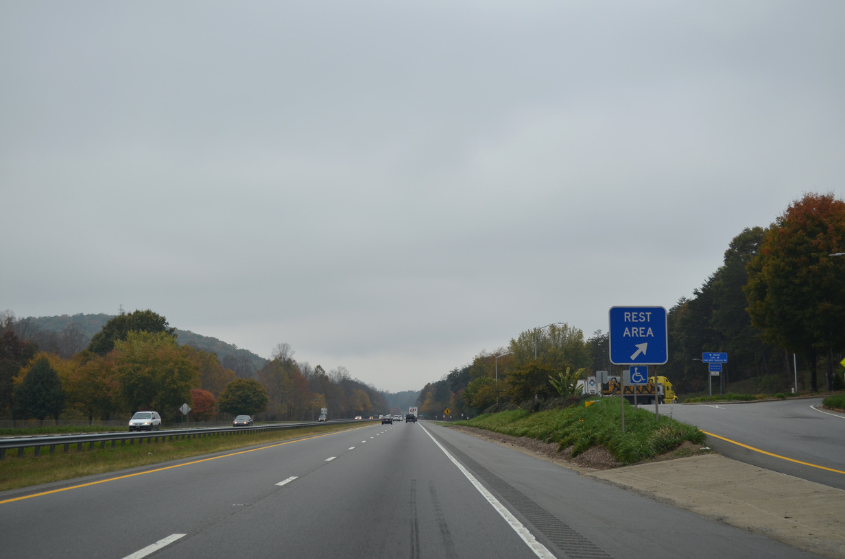
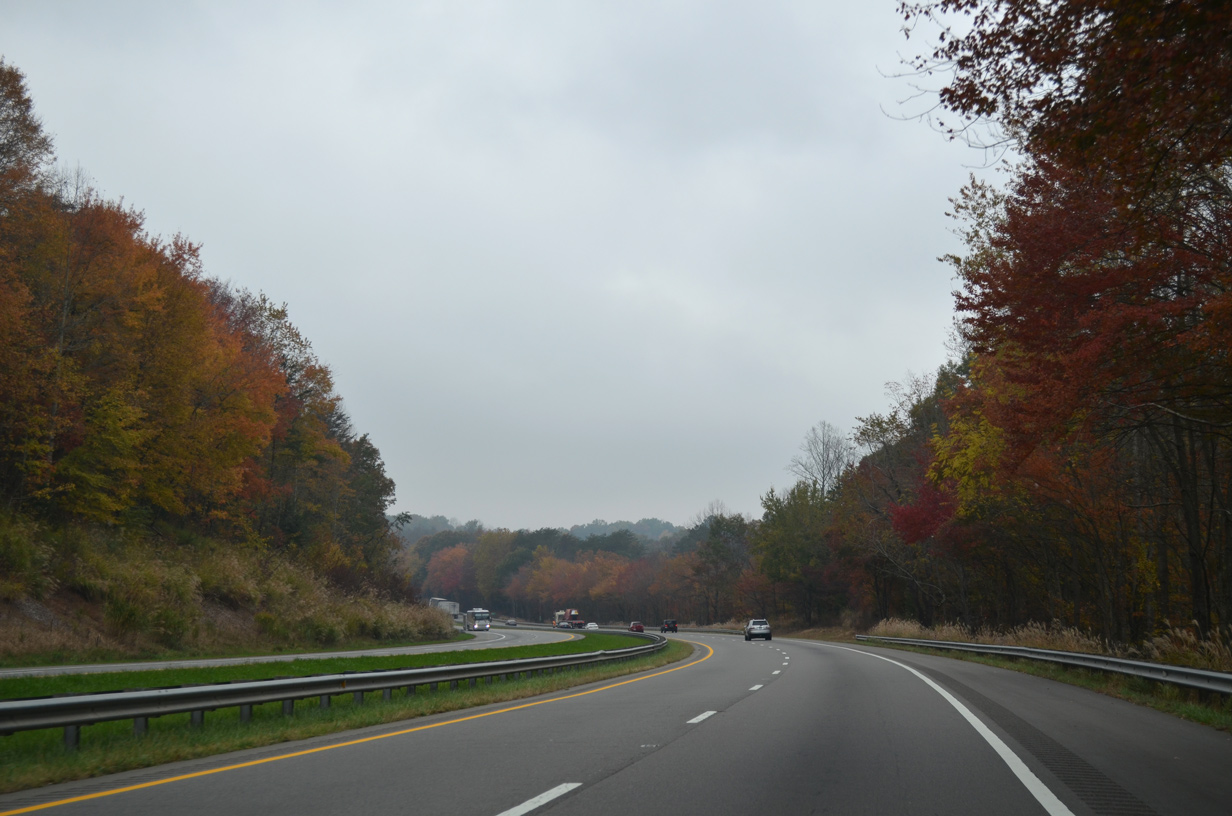
Rest areas line both sides of Interstate 40 adjacent to the Habersham Mountains.
10/24/15
10/24/15
10/24/15
Sugar Hill Road (SR 1001) continues southwest from Exit 81 to Providence and south along Jones and French Mountains to Sugar Hill.
10/24/15
10/24/15
Interstate 40 enters the parclo interchange (Exit 81) with Sugar Hill Road alongside Pool Mountain.
06/10/17
06/10/17
10/24/15
10/24/15
10/24/15
10/24/15
10/24/15
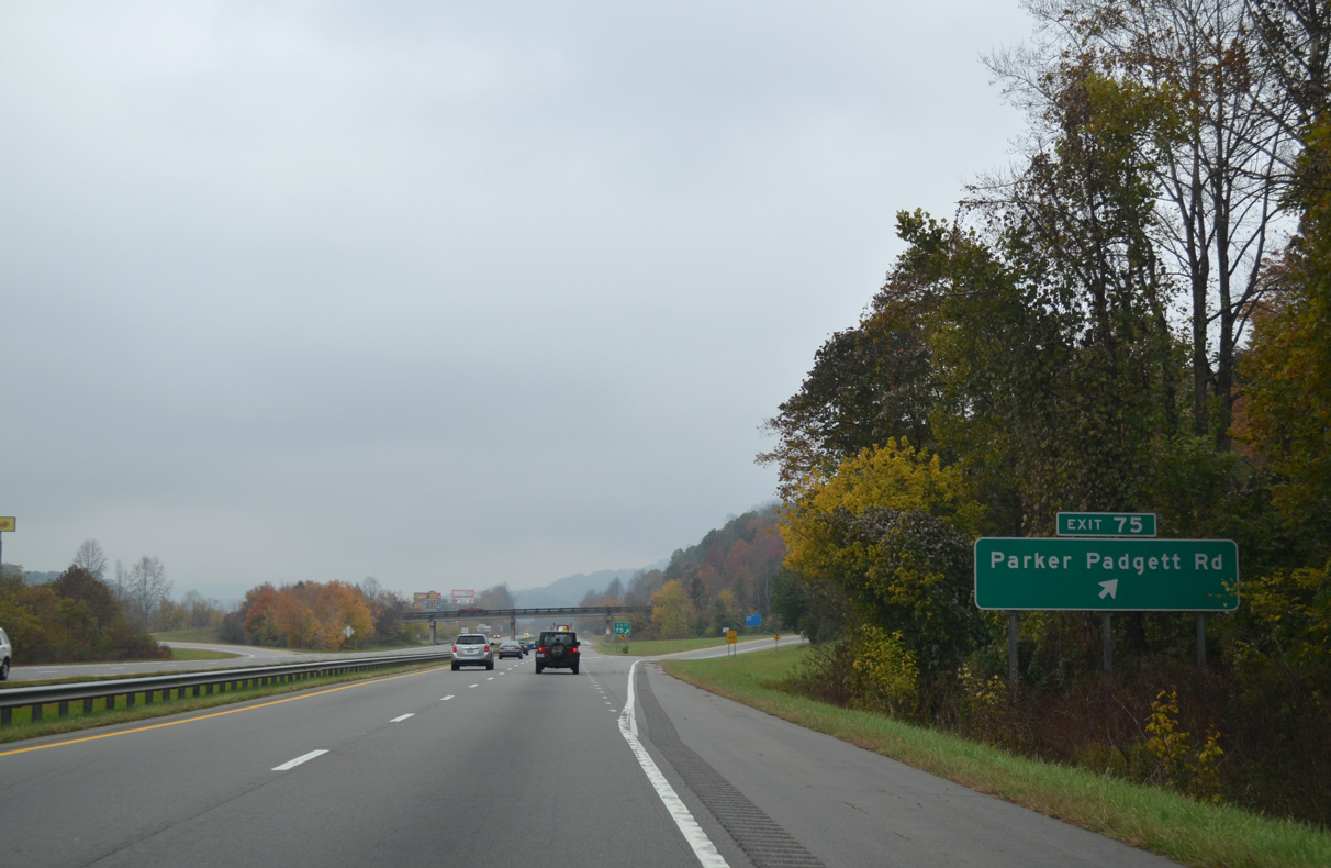
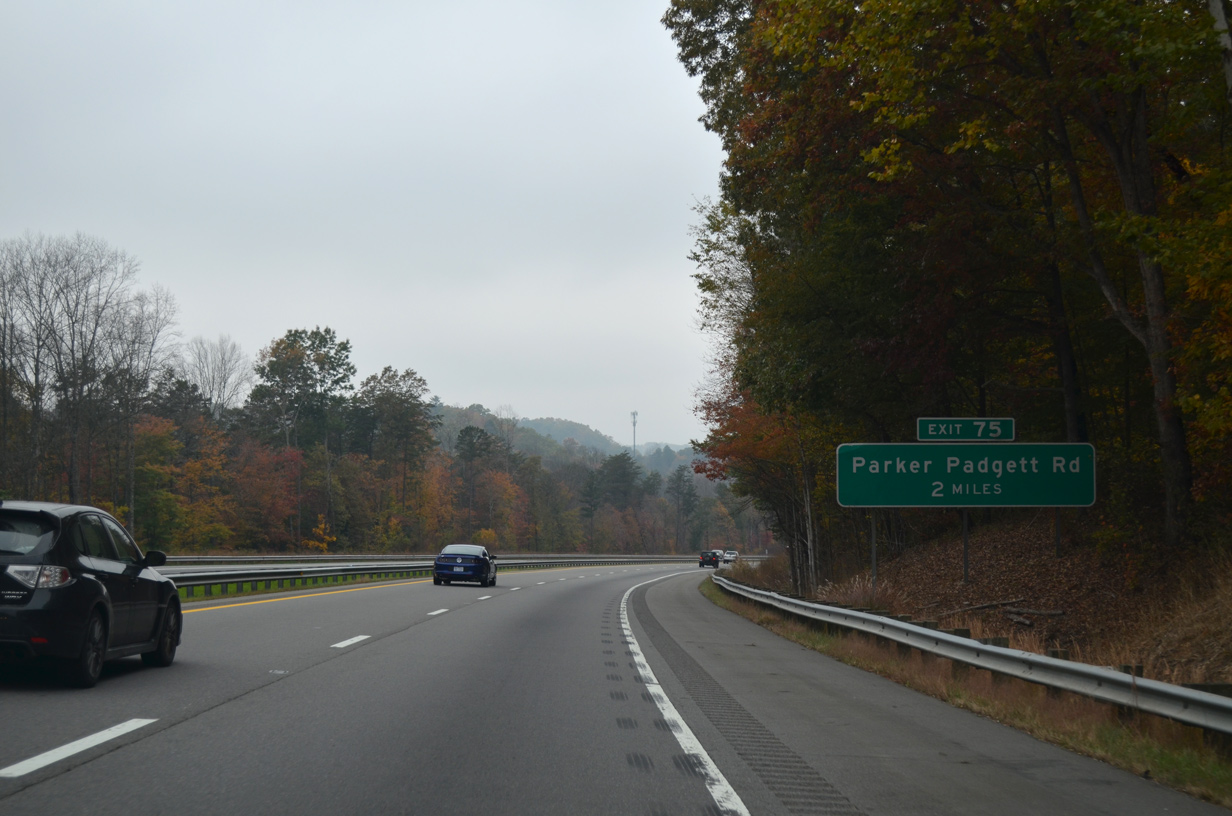
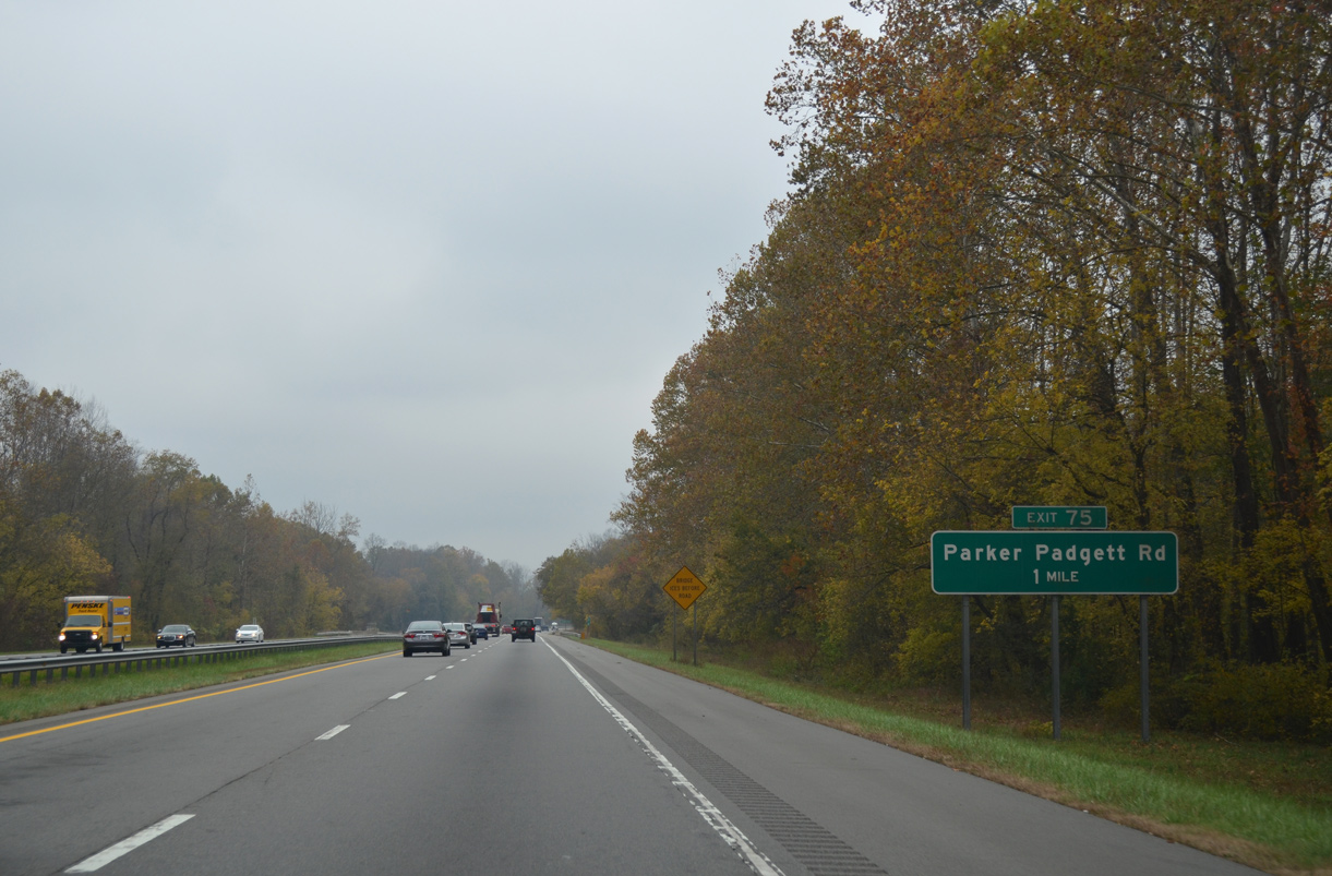
Exit 75 joins I-40 westbound with parallel Greenlee Road (SR 1246) ahead of Parker Padgett Road (SR 1240) south.
10/24/15
10/24/15
10/24/15
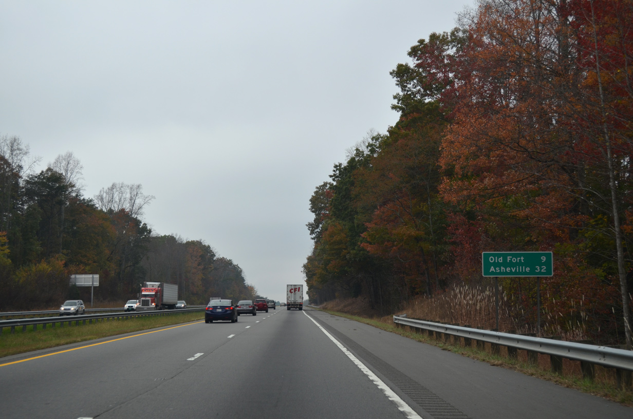
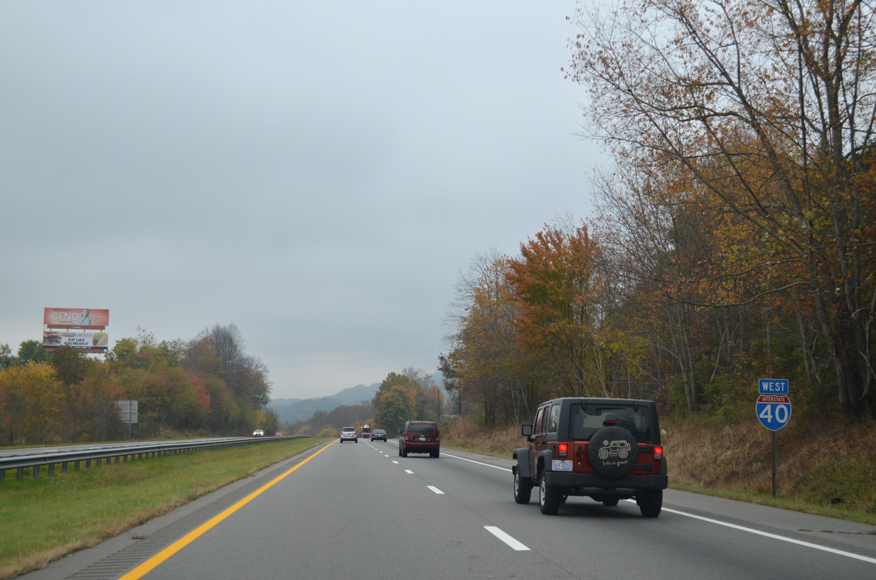
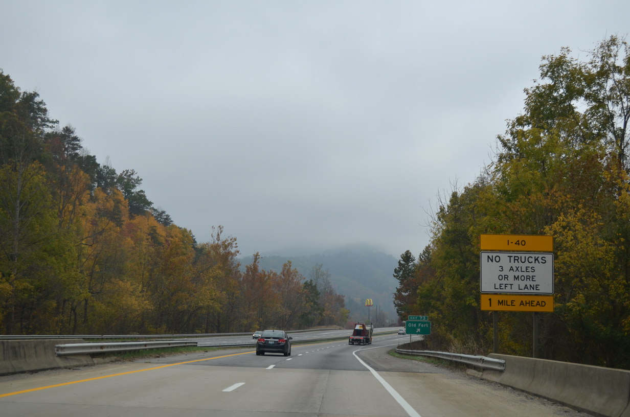
Interstate 40 runs alongside the Catawba River west into the town of Old Fort.
10/24/15
10/24/15
10/24/15
10/24/15
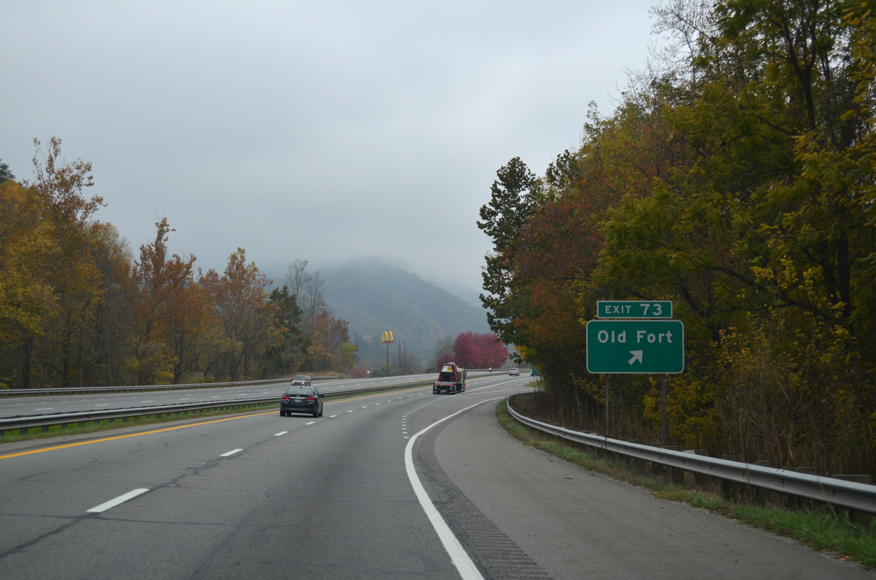
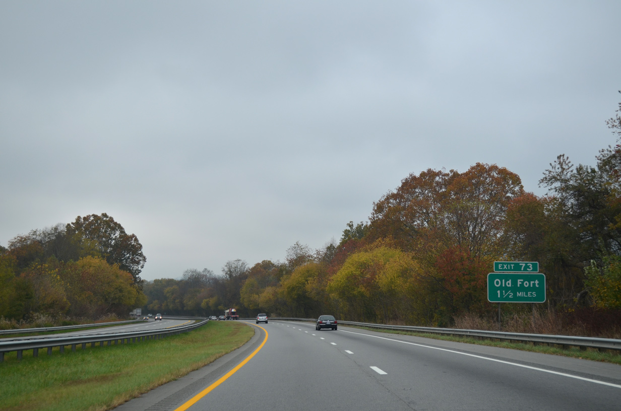
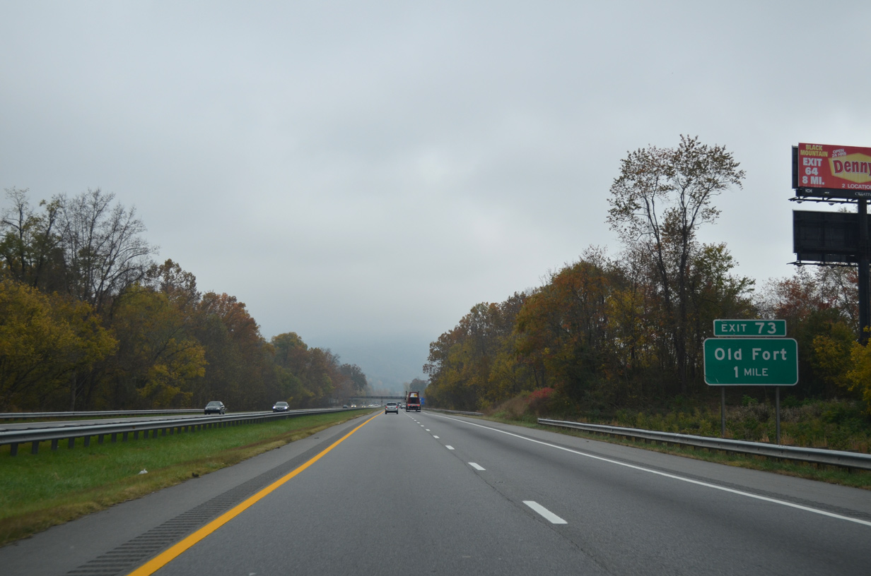
A diamond interchange (Exit 73) joins I-40 with Catawba Avenue (SR 1103) south of the Old Fort business district.
10/24/15
10/24/15
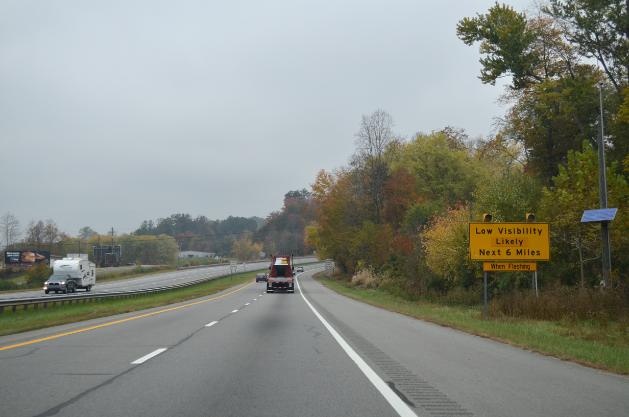
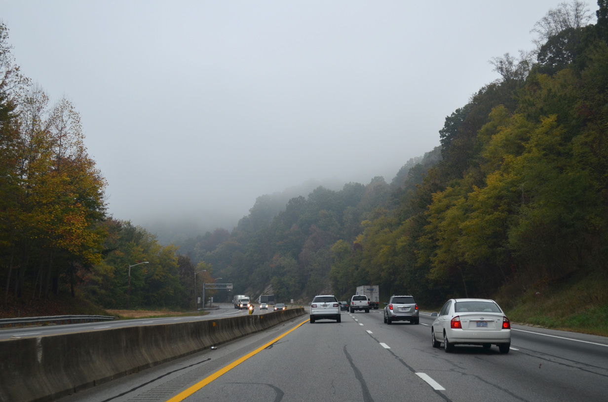
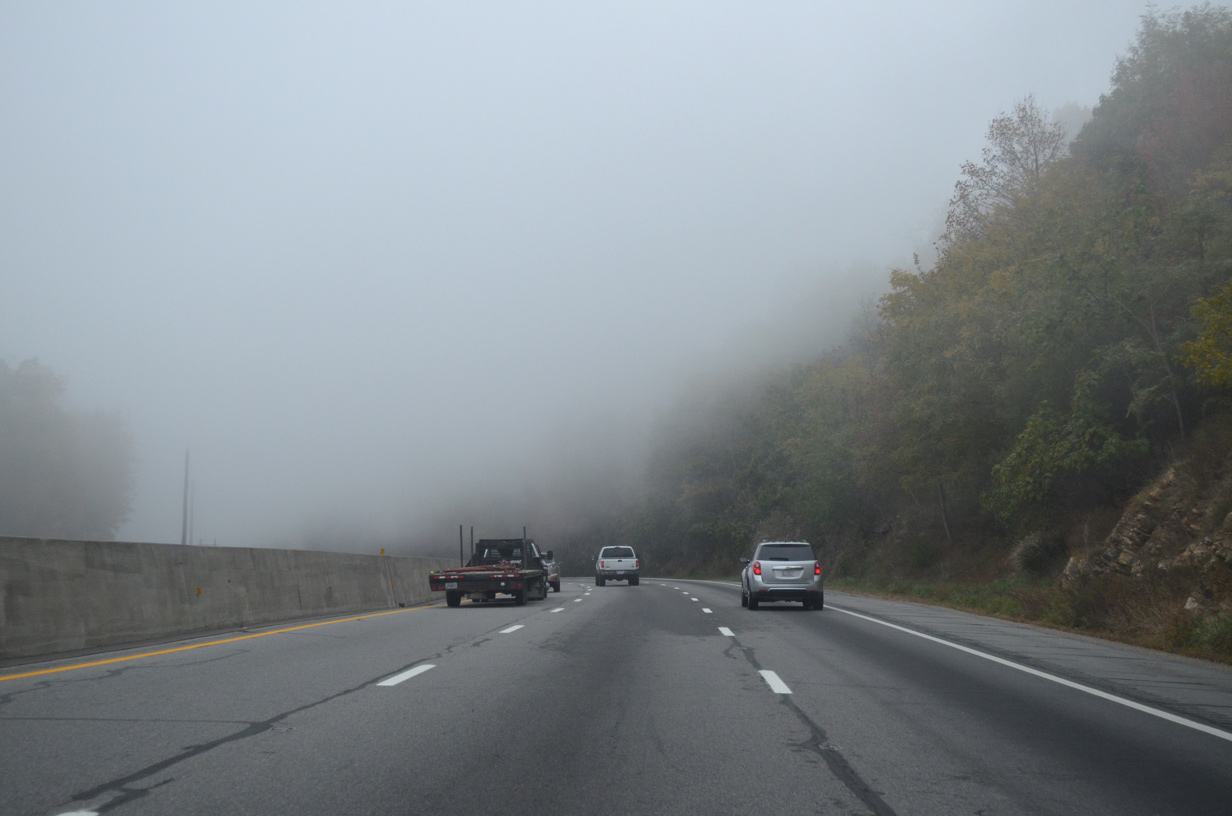
The climb into the Blue Ridge Mountains along Interstate 40 west of Old Fort is prone to low visibility due to fog.
10/24/15
10/24/15

U.S. 70 combines with Interstate 40 west from Main Street at a wye interchange (Exit 72).
10/24/15
10/24/15
 West
West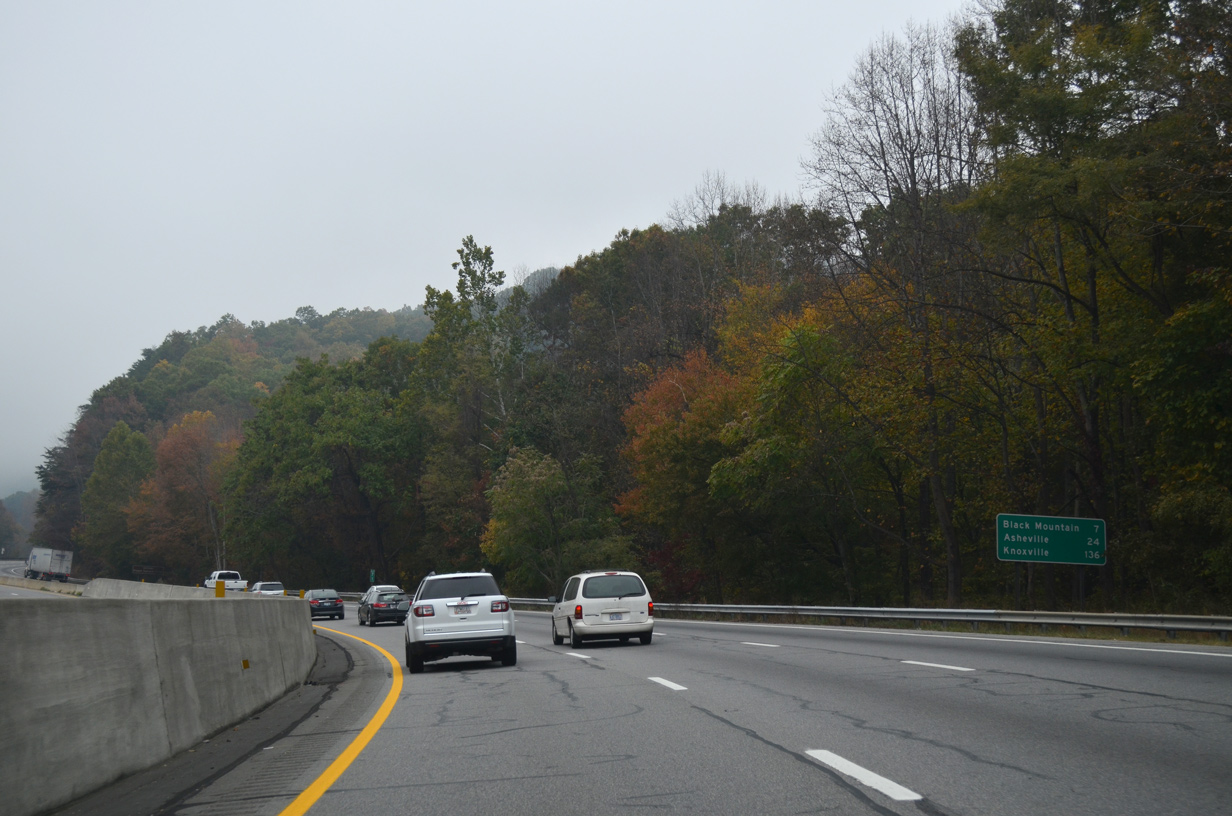
U.S. 70 overlaps with Interstate 40 west 6.8 miles to the town of Black Mountain. Knoxville, Tennessee debuts on distance signs at 136 miles.
10/24/15
10/24/15
10/24/15
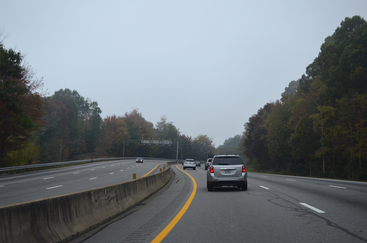
I-40/U.S. 70 ascend through numerous S-curves along Youngs Ridge.
10/24/15
10/24/15
I-40/U.S. 70 gain 700 feet in elevation over the course of 2.5 miles west from their merge.
10/24/15
10/24/15
10/24/15
I-40/U.S. 70 west at mile marker 69 within Pisgah National Forest.
10/24/15
10/24/15

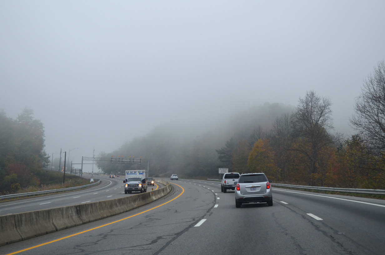
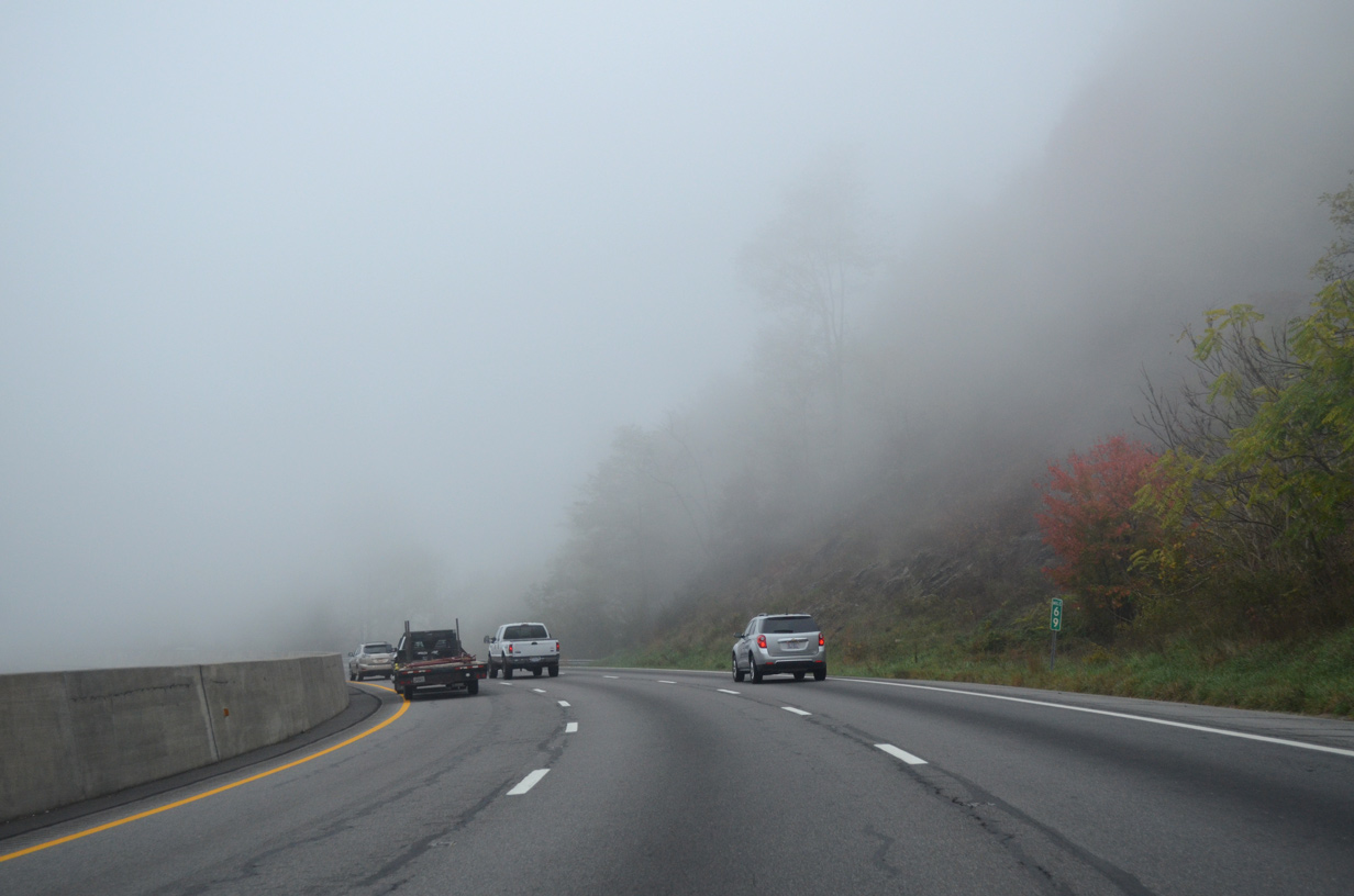
Dense fog along Interstate 40 by Kitsuma Peak.
10/24/15
10/24/15
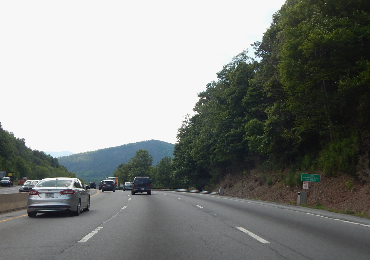
Interstate 40 crosses the Eastern Continental Divide at an elevation of 2,786 feet above sea level.
06/10/17
06/10/17
06/10/17
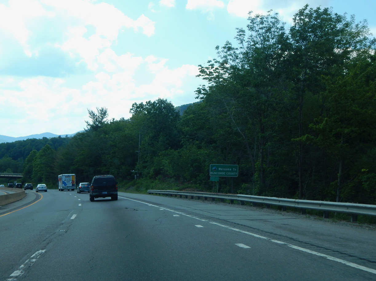
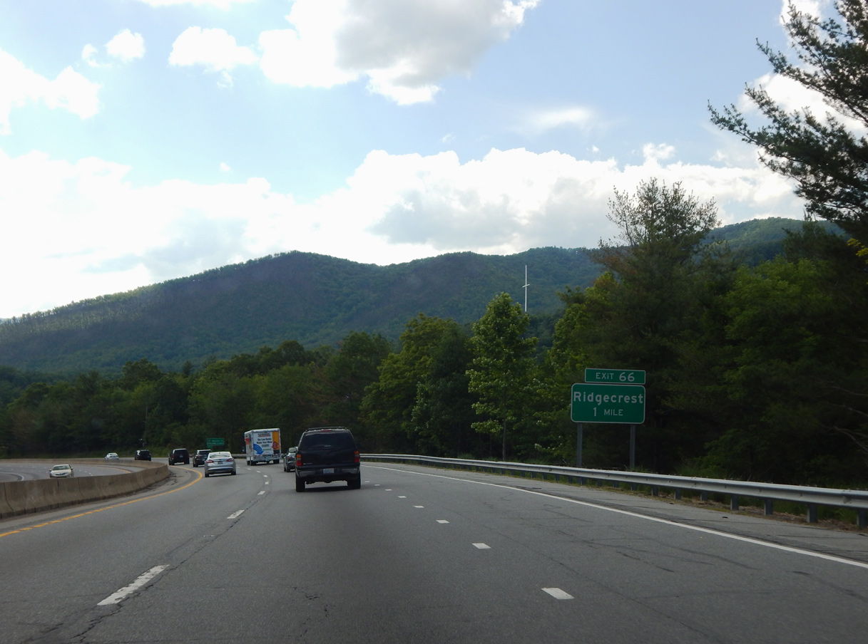
Lowering from Kitsuma Peak through Swannanoa Gap, Interstate 40 enters Buncombe County just ahead of the Yates Avenue (SR 2702) overpass at Ridgecrest.
06/10/17
06/10/17

Photo Credits:
- Carter Buchanan: 06/10/17
- Alex Nitzman: 10/24/15
Connect with:
Page Updated Sunday May 09, 2021.