
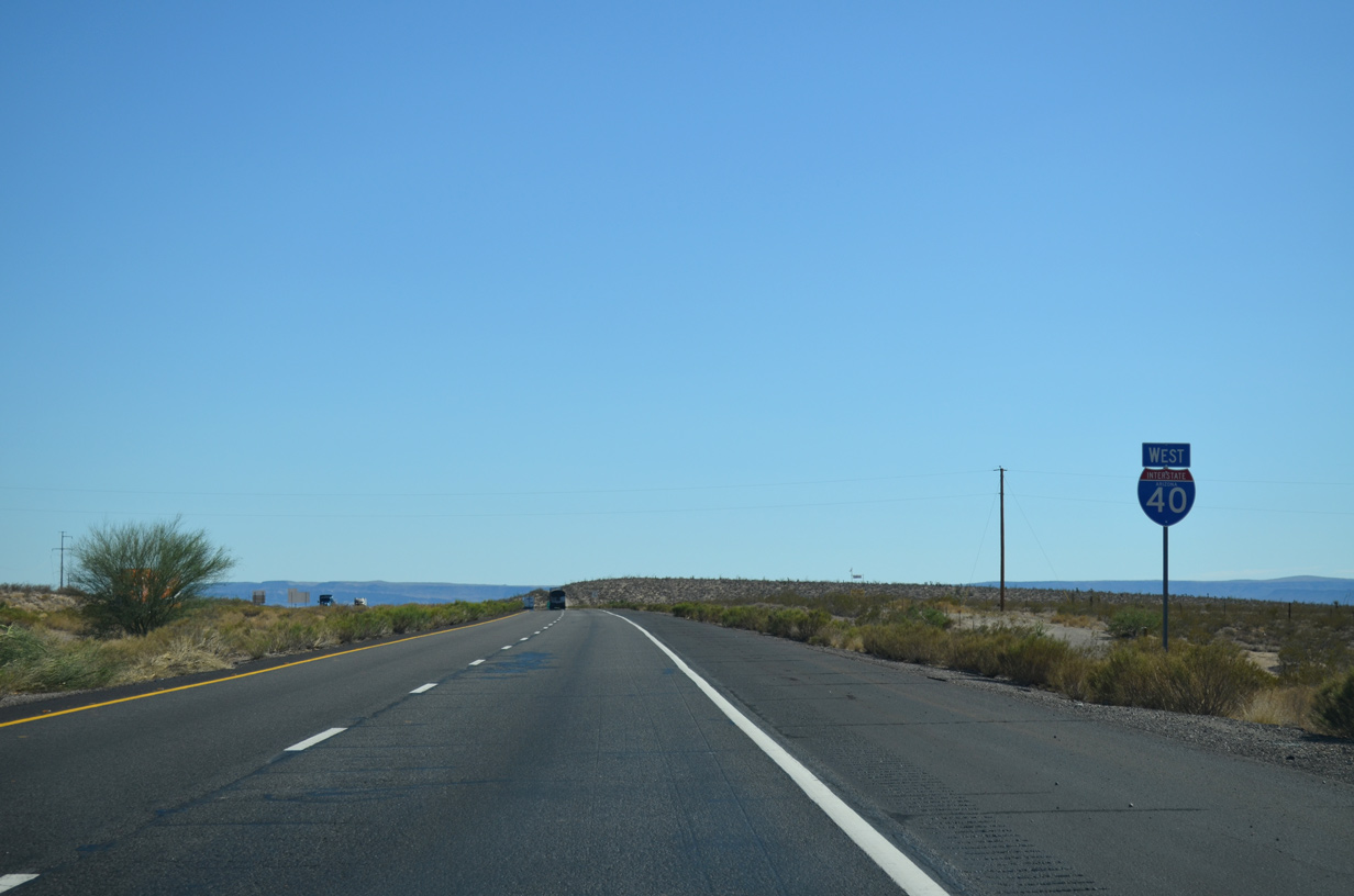
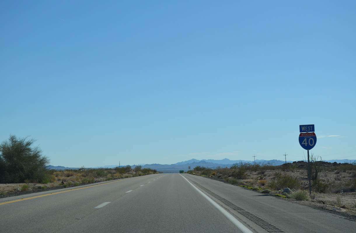
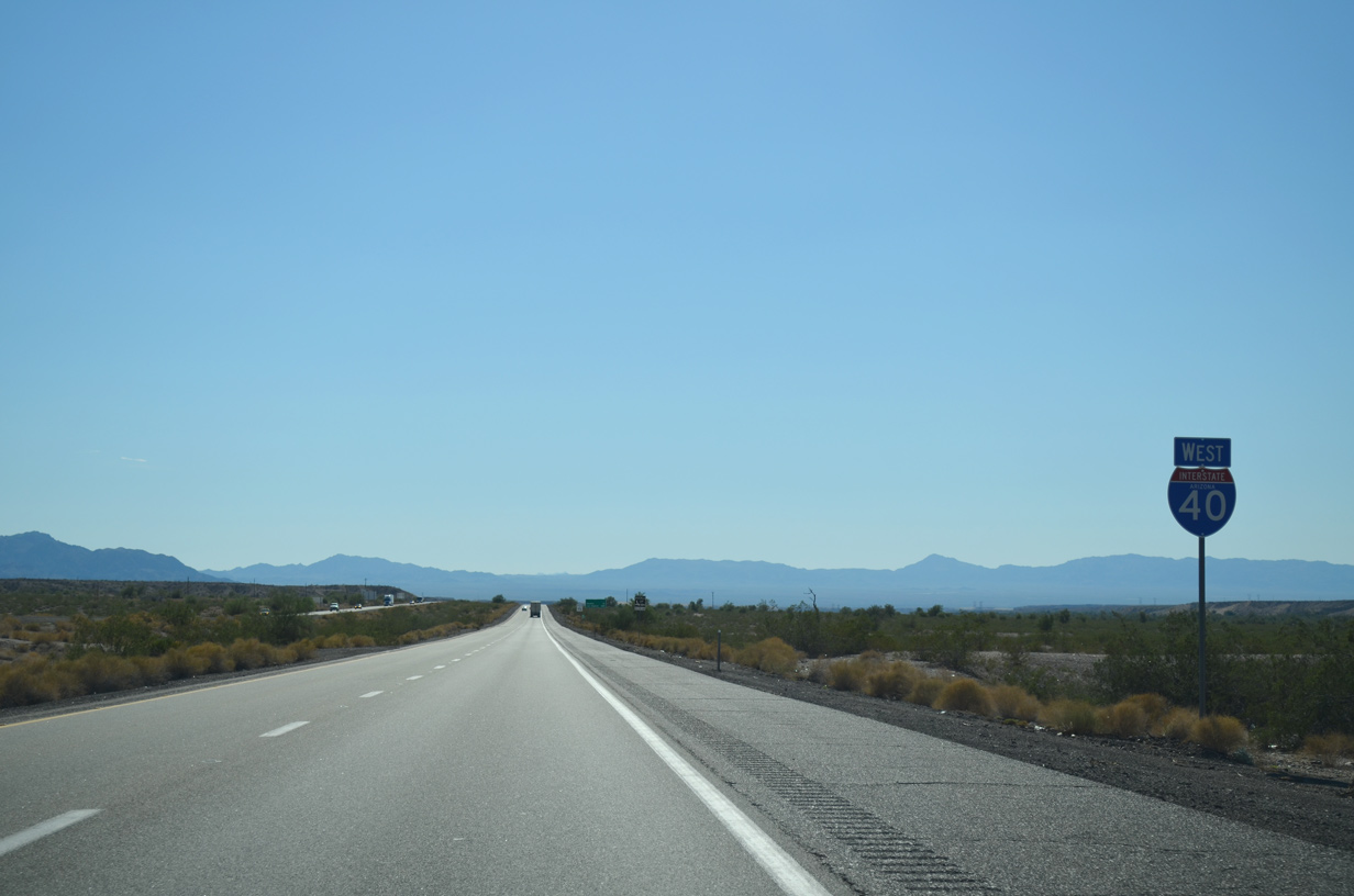
Interstate 40 West - Kingman to California
 West
West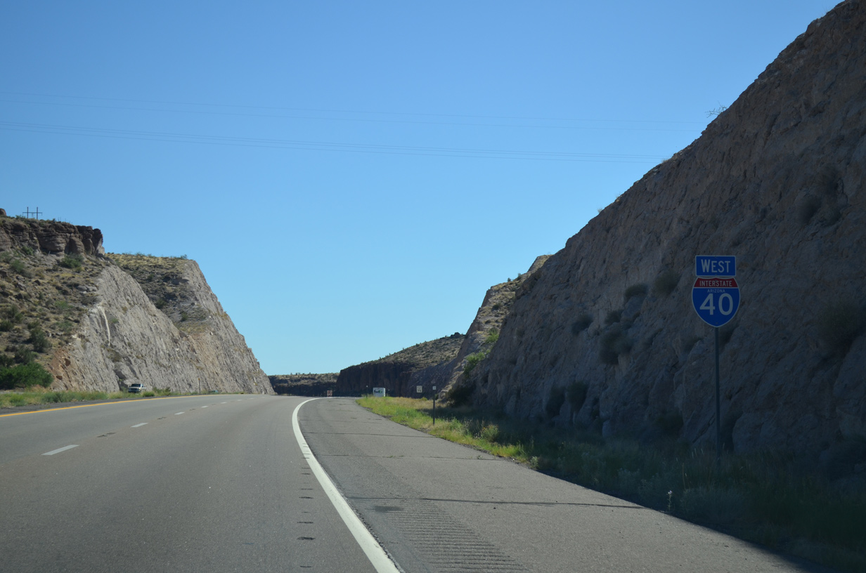
07/22/14
07/22/14

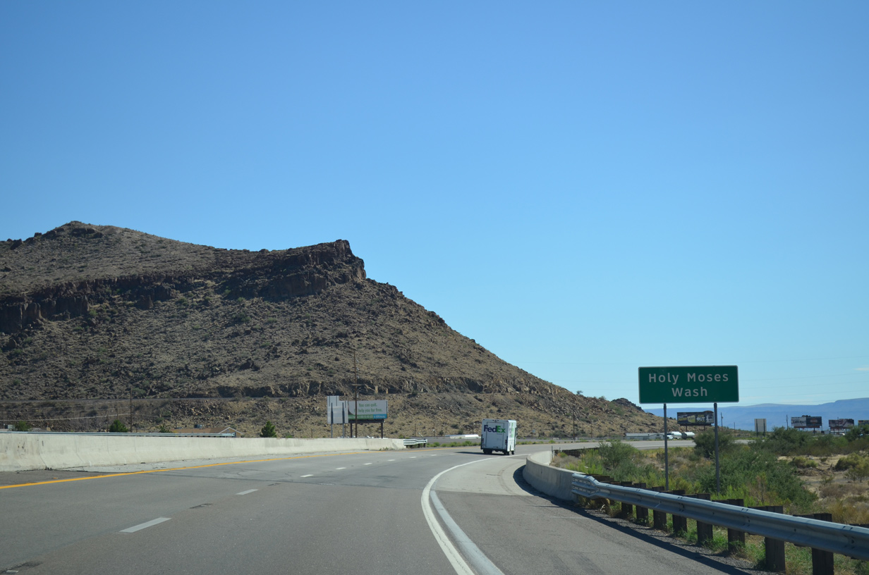
Historic U.S. 66 parallels the east side of I-40 south to the diamond interchange (Exit 44) with Shinarump Drive.
07/22/14
07/22/14
Continuing south through an S-curve, Interstate 40 passes between Cook Canyon and Box Canyon.
07/22/14
07/22/14
07/22/14
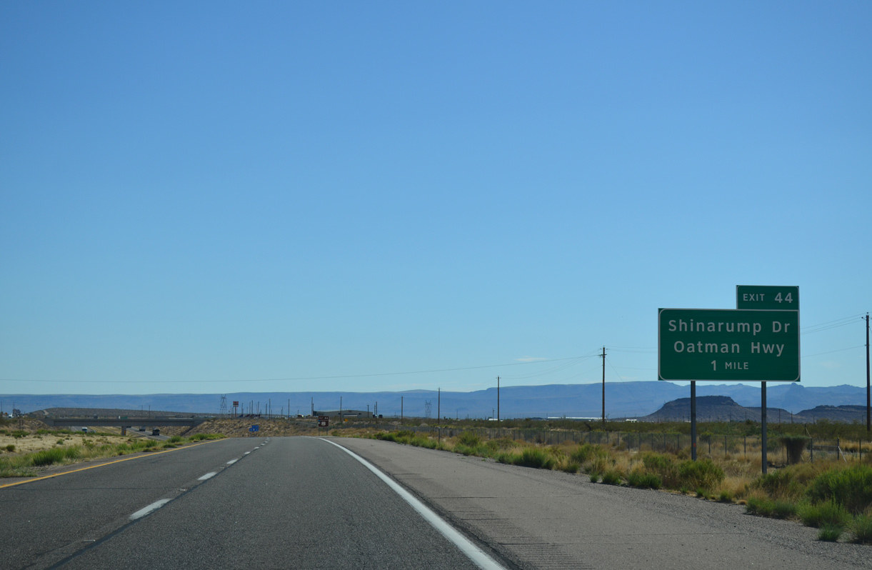
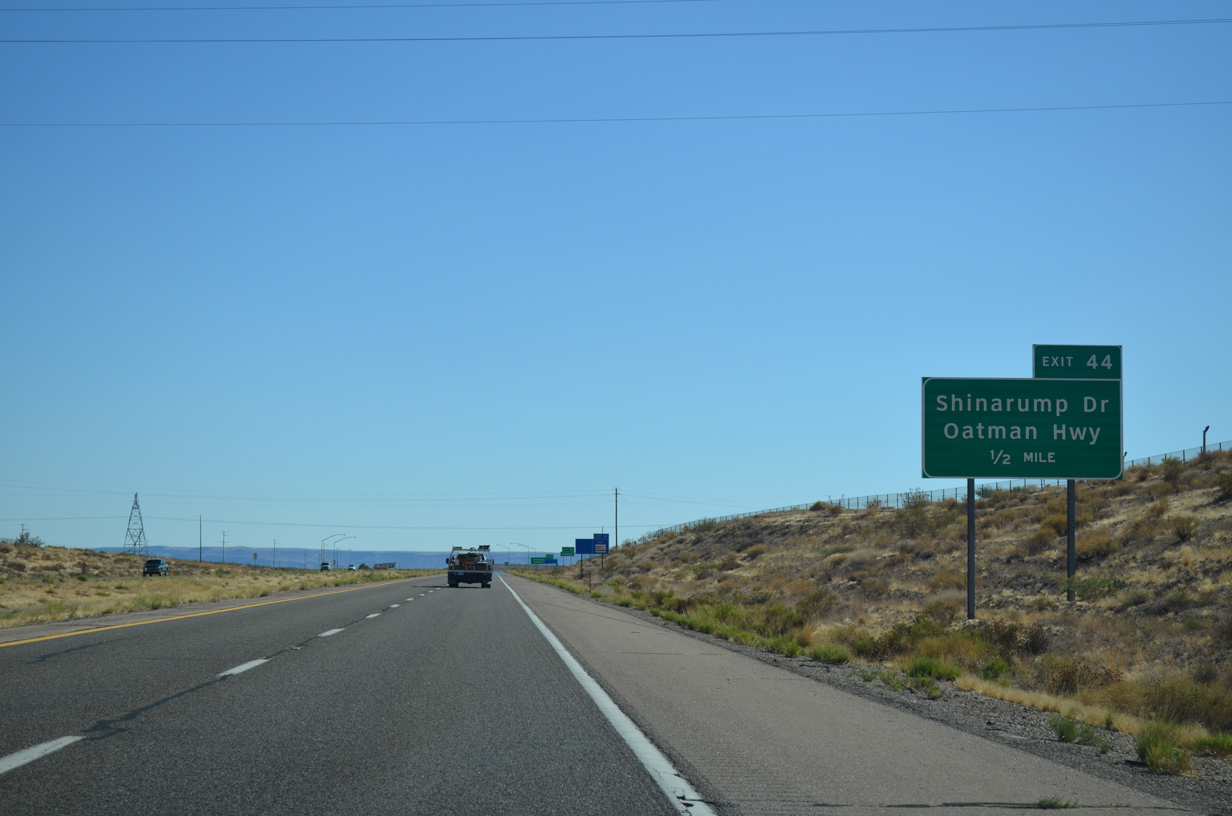
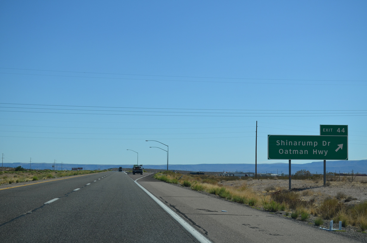
Shinarump Drive links Historic U.S. 66 and the east side frontage road with Oatman Highway, the original alignment of U.S. 66 southwest into the Black Mountains.
07/22/14
07/22/14

Historic U.S. 66 along Oatman Highway (CR 10) turns south from Oatman and the Black Mountains to Interstate 40 at Topock.
07/22/14
07/22/14
Shinarump Drive extends 11.73 miles west across Sacramento Highway from Oatman Highway as CR 233 to Egar Road north.
07/22/14
07/22/14
07/22/14
07/22/14
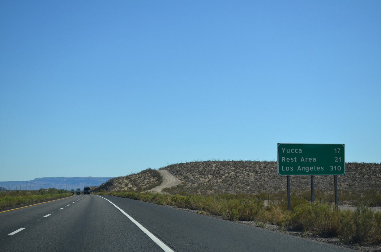
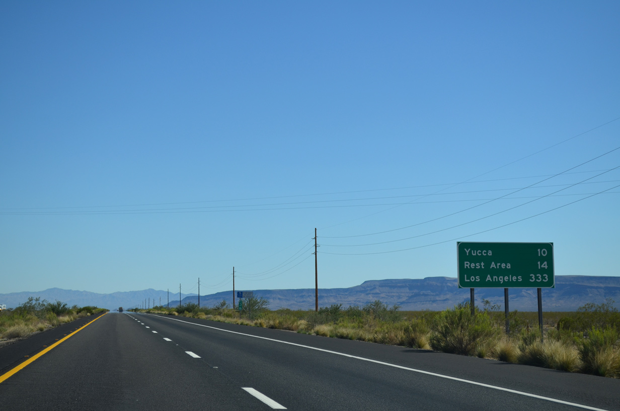
The unincorporated community of Yucca lies midway between Kingman and the California state line along Interstate 40 west.
07/22/14
07/22/14
07/22/14
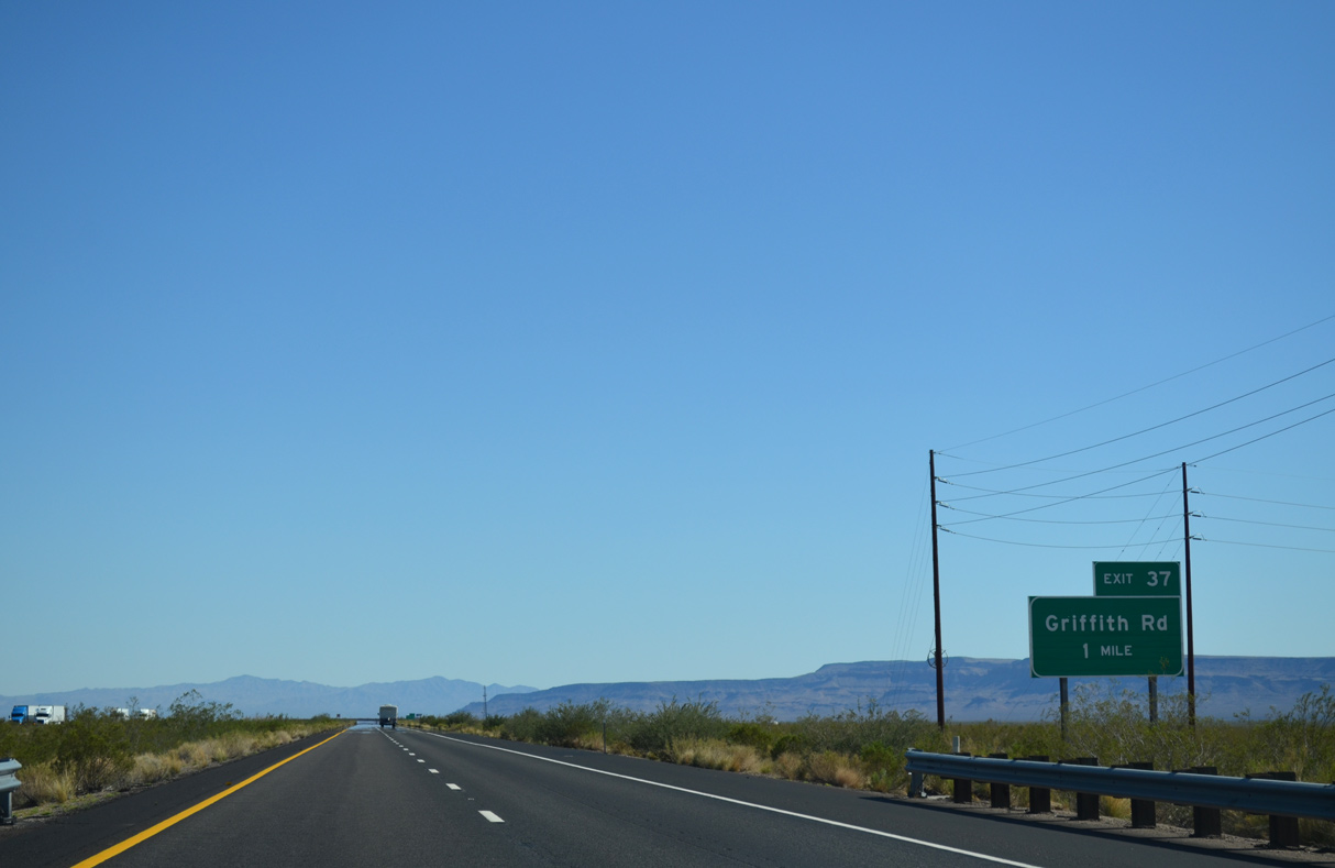
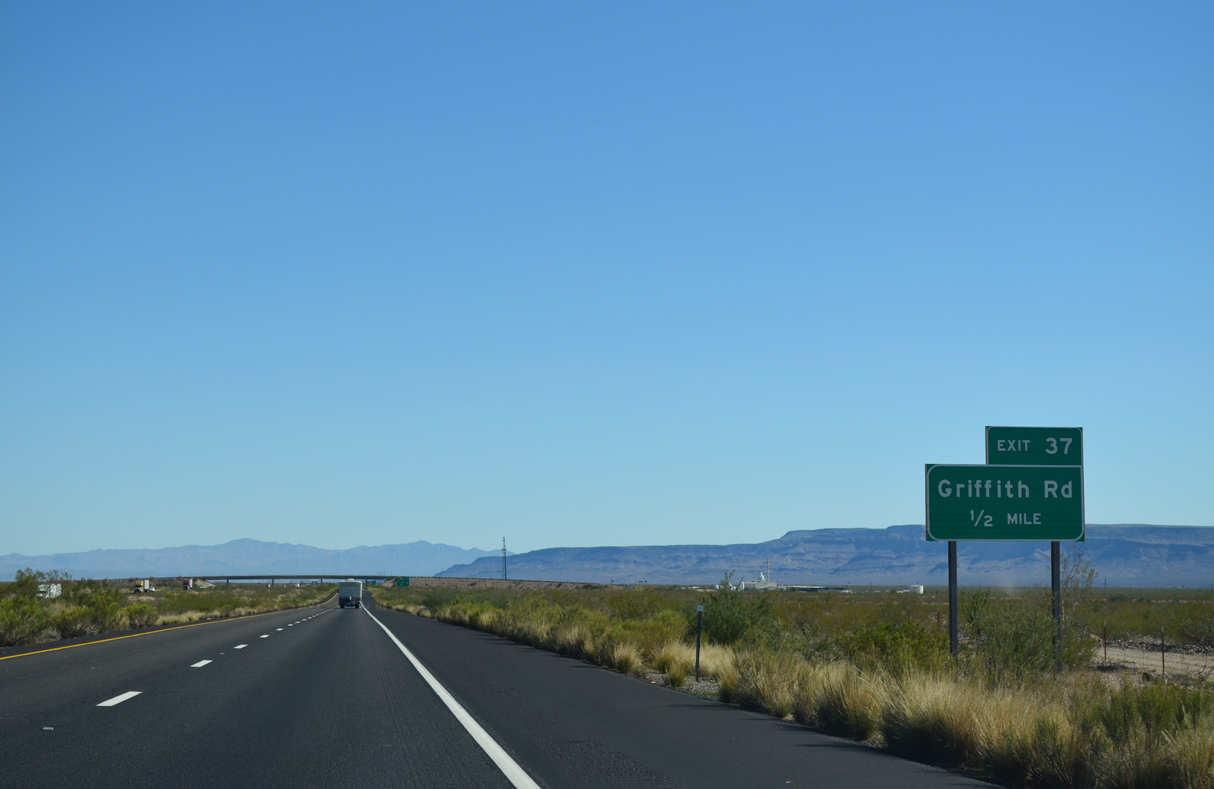
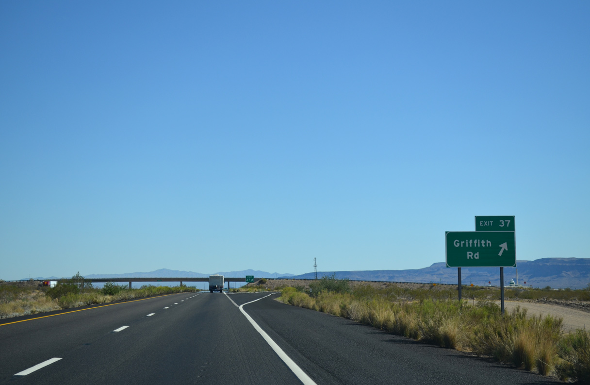
A diamond interchange joins Interstate 40 with Griffith Road at Exit 37.
07/22/14
07/22/14
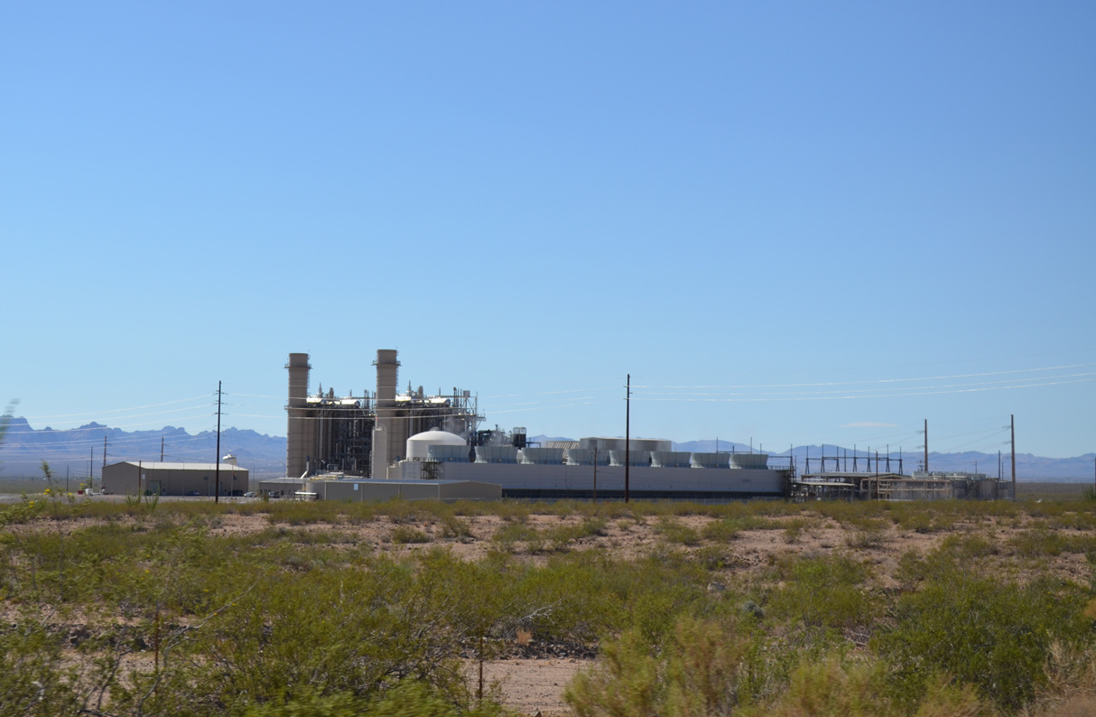
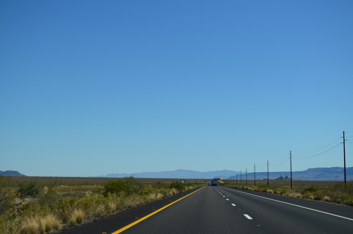
The Griffith Energy Facility lies just west of Interstate 40 beyond mile marker 39.
07/22/14
07/22/14
Griffith is a BNSF Railroad siding located to the northeast of Exit 37 near Shingle Canyon.
07/22/14
07/22/14
07/22/14
07/22/14
07/22/14
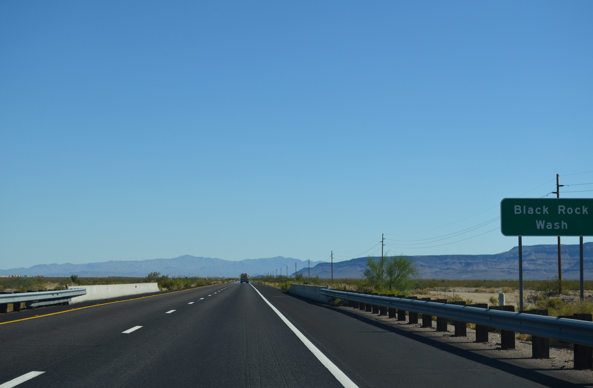
Interstate 40 crosses Black Rock Wash south of mile marker 35.
07/22/14
07/22/14
Continuing south through the Sacramento Valley, I-40 next passes the BNSF Railroad siding of Athos.
07/22/14
07/22/14
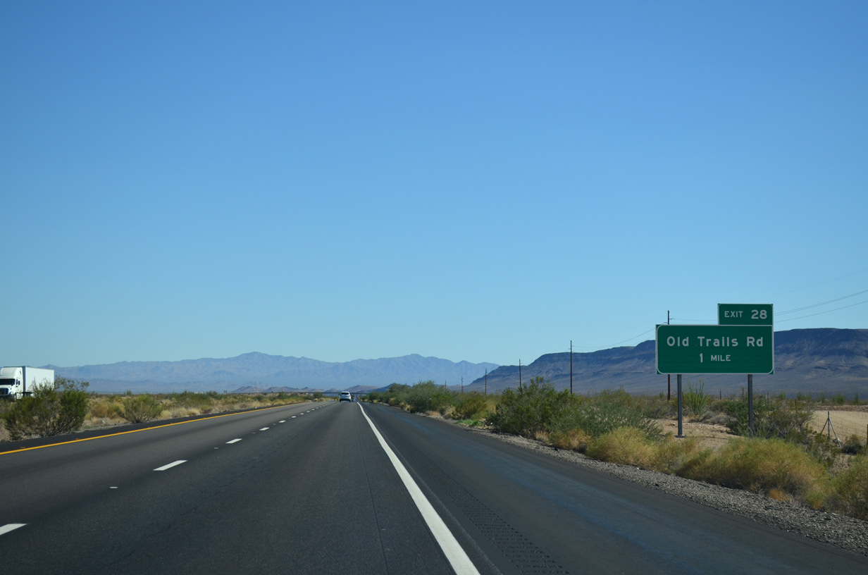
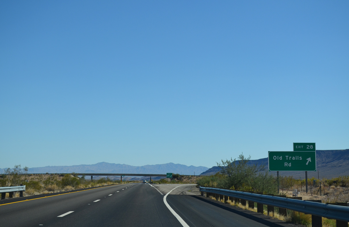
The diamond interchange at Exit 28 serves ranch areas and an unpaved grid of residential streets off Old Trails Road.
07/22/14
07/22/14
07/22/14
07/22/14
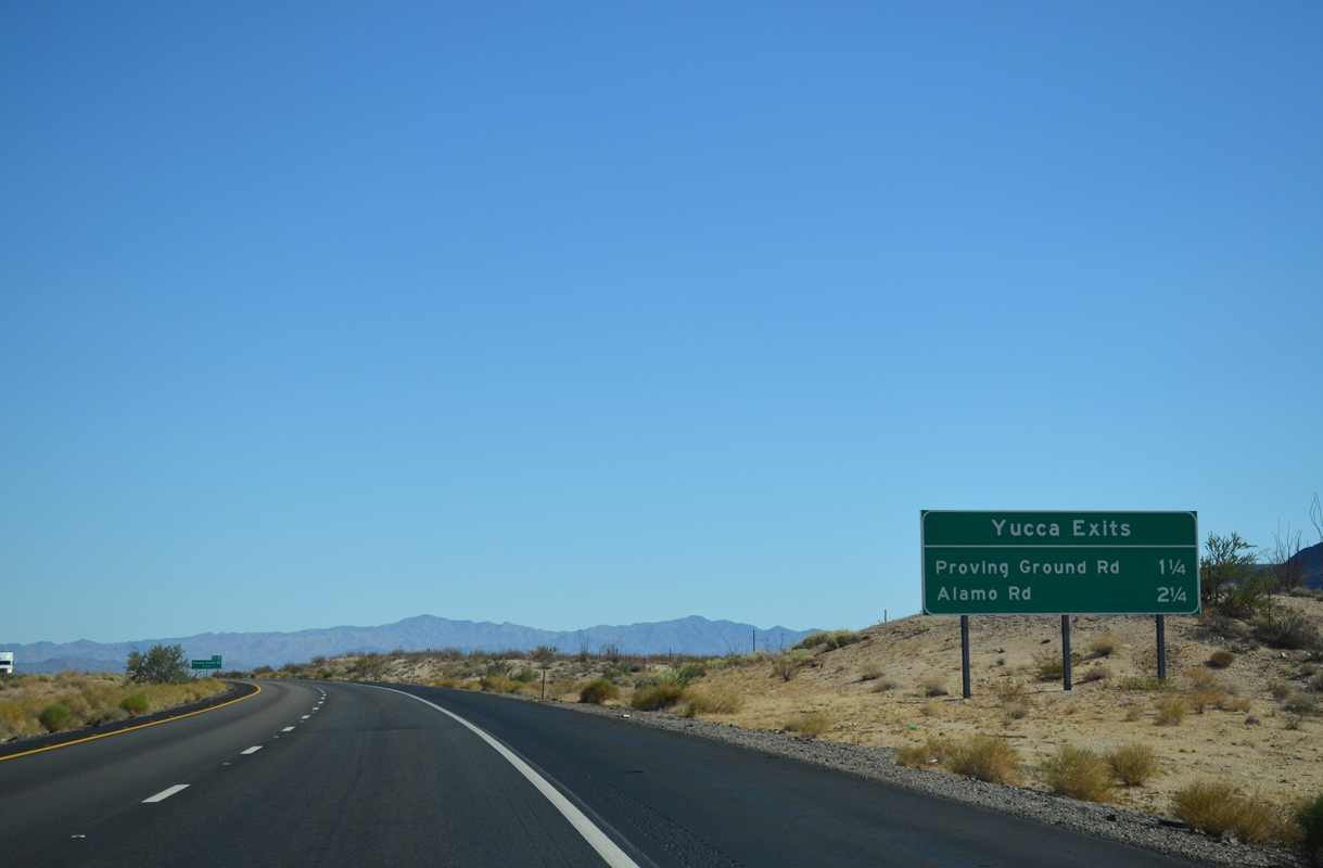
Two exits connect I-40 with Yucca to the west of the Chrysler Proving Grounds.
07/22/14
07/22/14
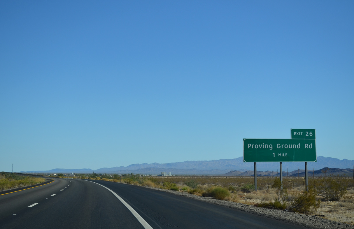
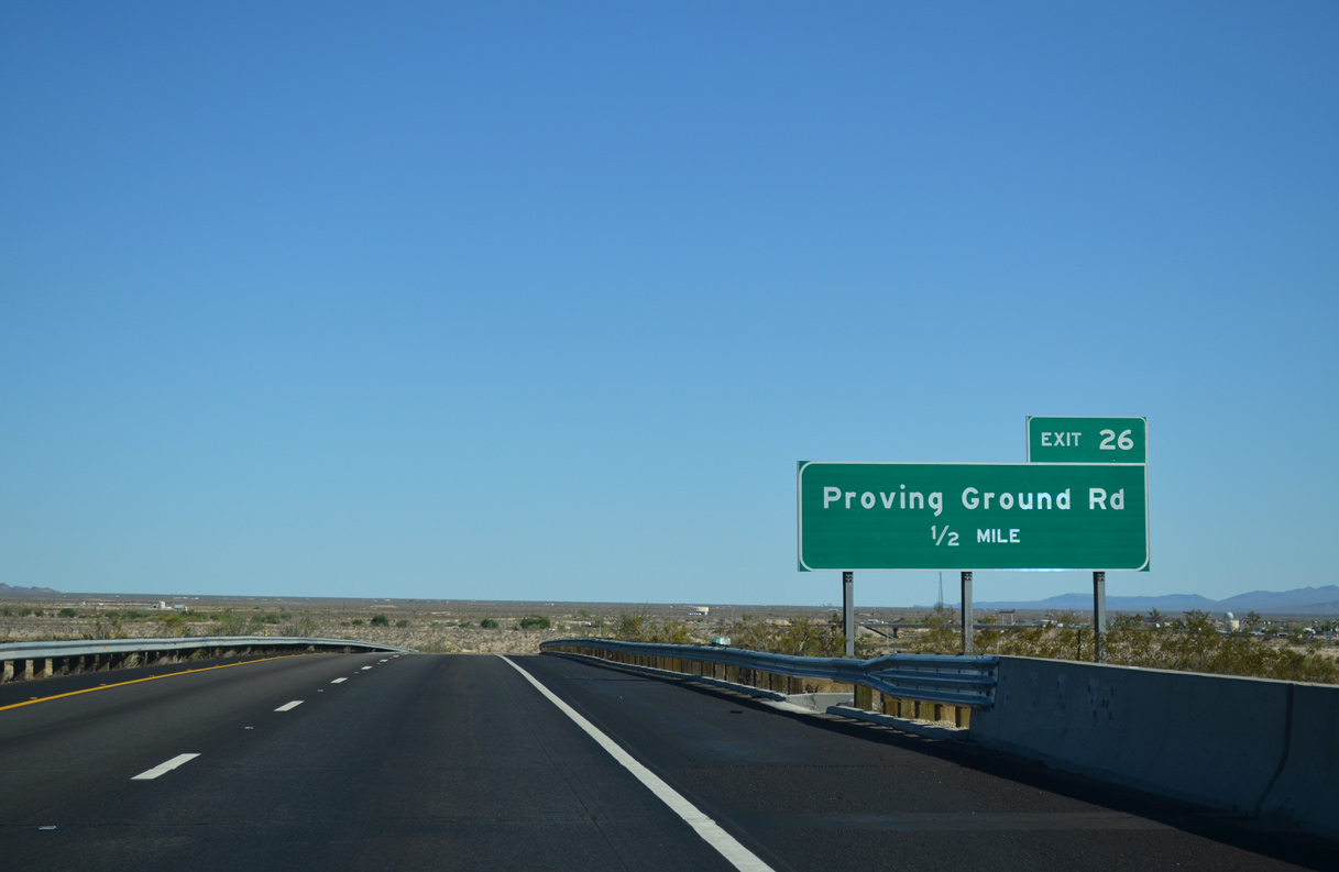
Proving Grounds Road spurs east to the Chrysler Arizona Proving Grounds, which include several test tracks and an airstrip.
07/22/14
07/22/14
07/22/14
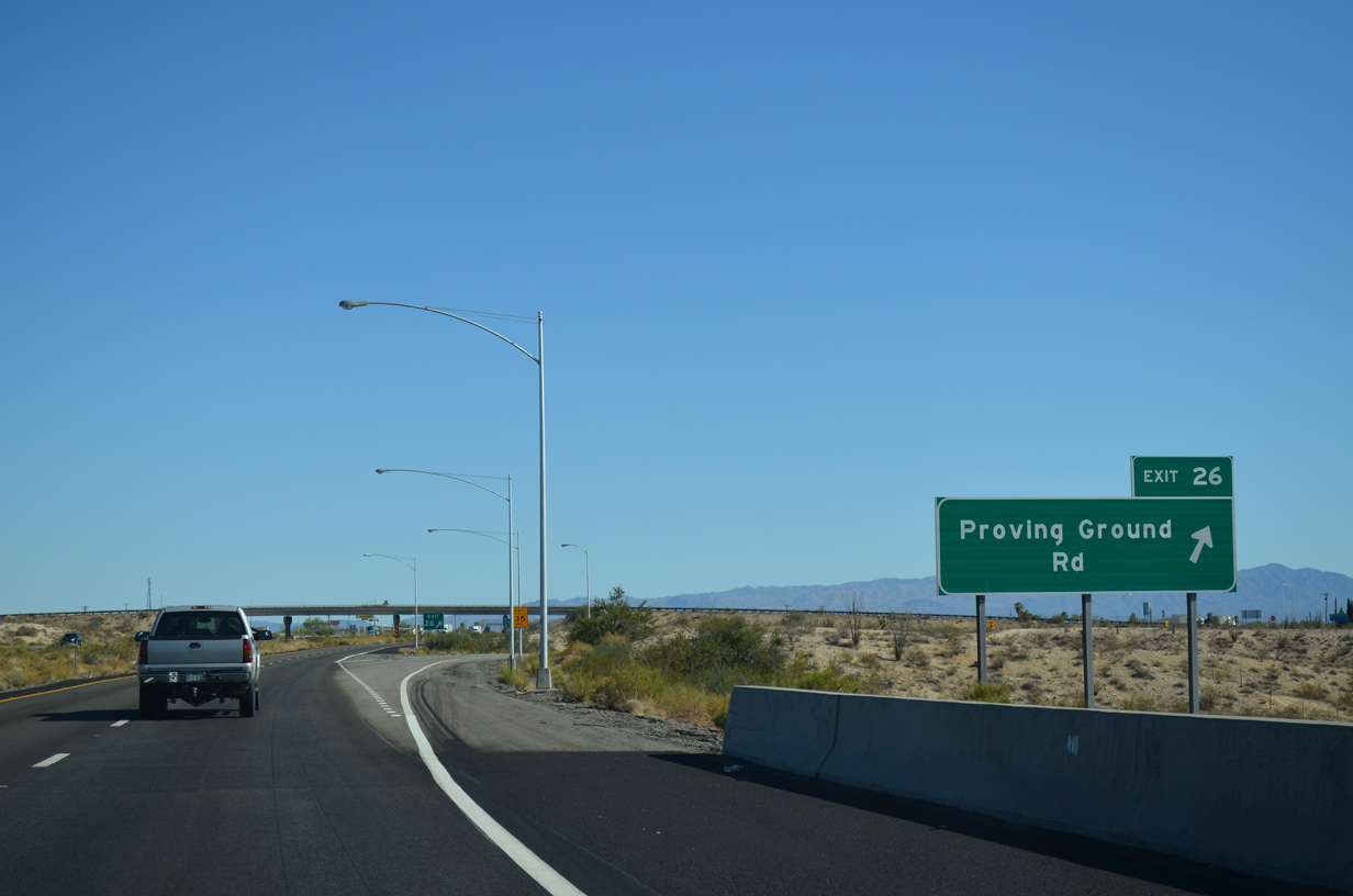
An unpaved road, 1st Street ties into the diamond interchange (Exit 26) with Proving Ground Road from the Yucca street grid to the southwest.
07/22/14
07/22/14
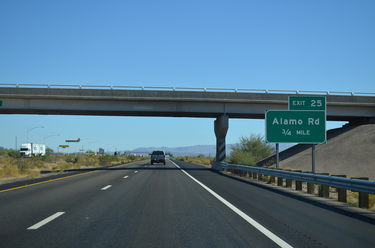
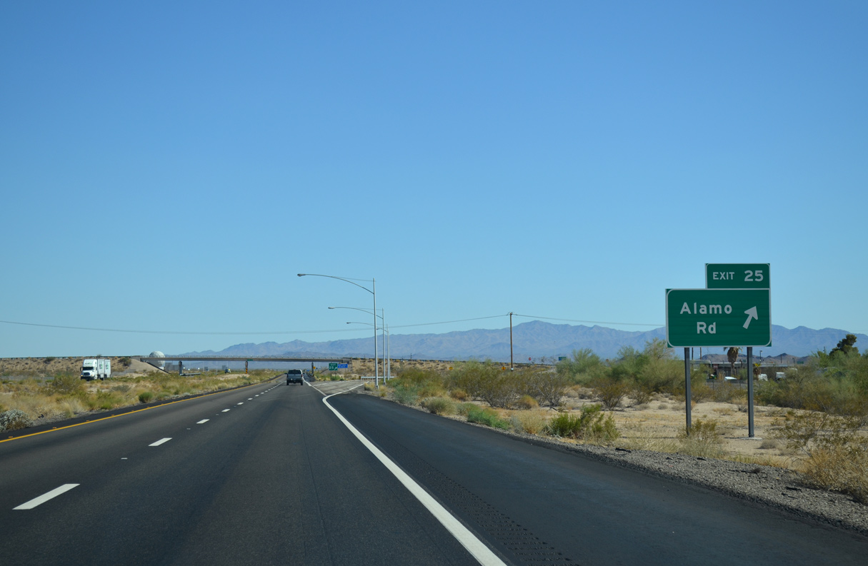
I-40 lines the east side of Yucca south 0.75 miles to the diamond interchange (Exit 25) with Alamo Road.
07/22/14
07/22/14
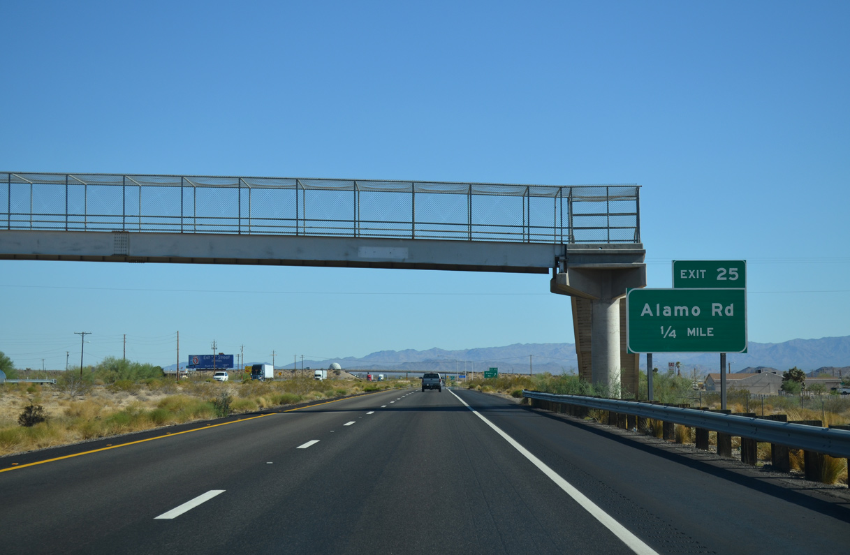
Built in 1966, a pedestrian bridge spans Interstate 40 from 3rd Avenue, a quarter mile ahead of Exit 25.
07/22/14
07/22/14
07/22/14
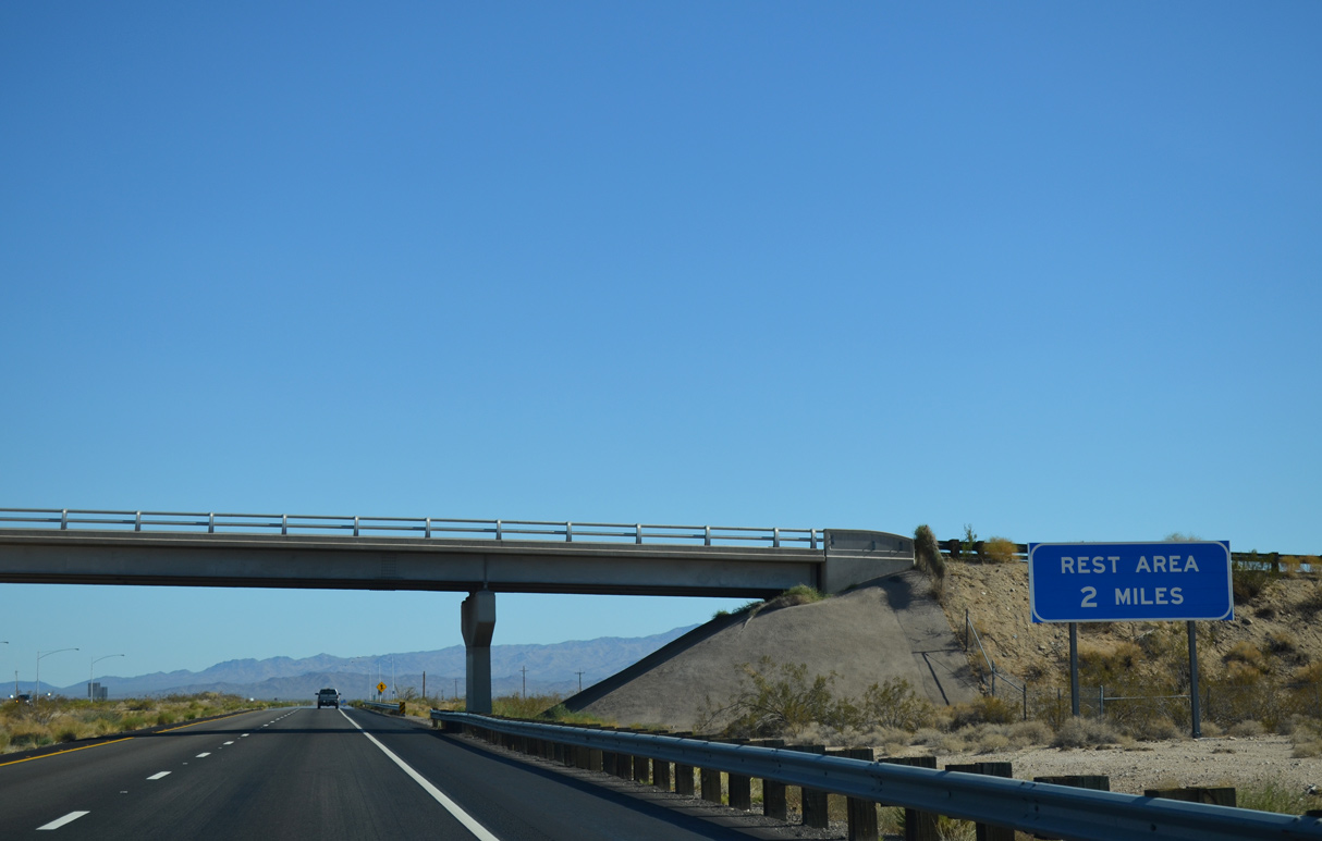
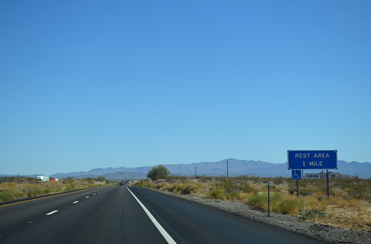
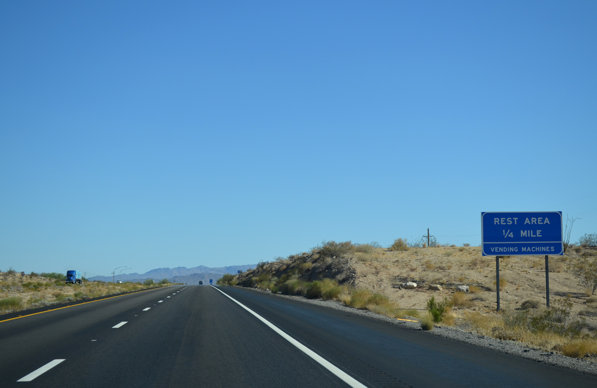
The Haviland Rest areas line both sides of Interstate 40 two miles south of the Alamo Road overpass.
07/22/14
07/22/14
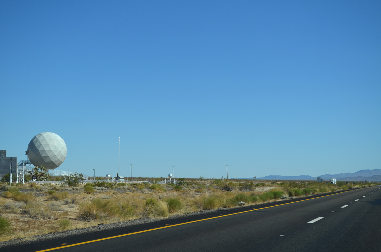
The Golf Ball house appears along parallel Alamo Road just south of Exit 25 by the Area 66 museum.
07/22/14
07/22/14
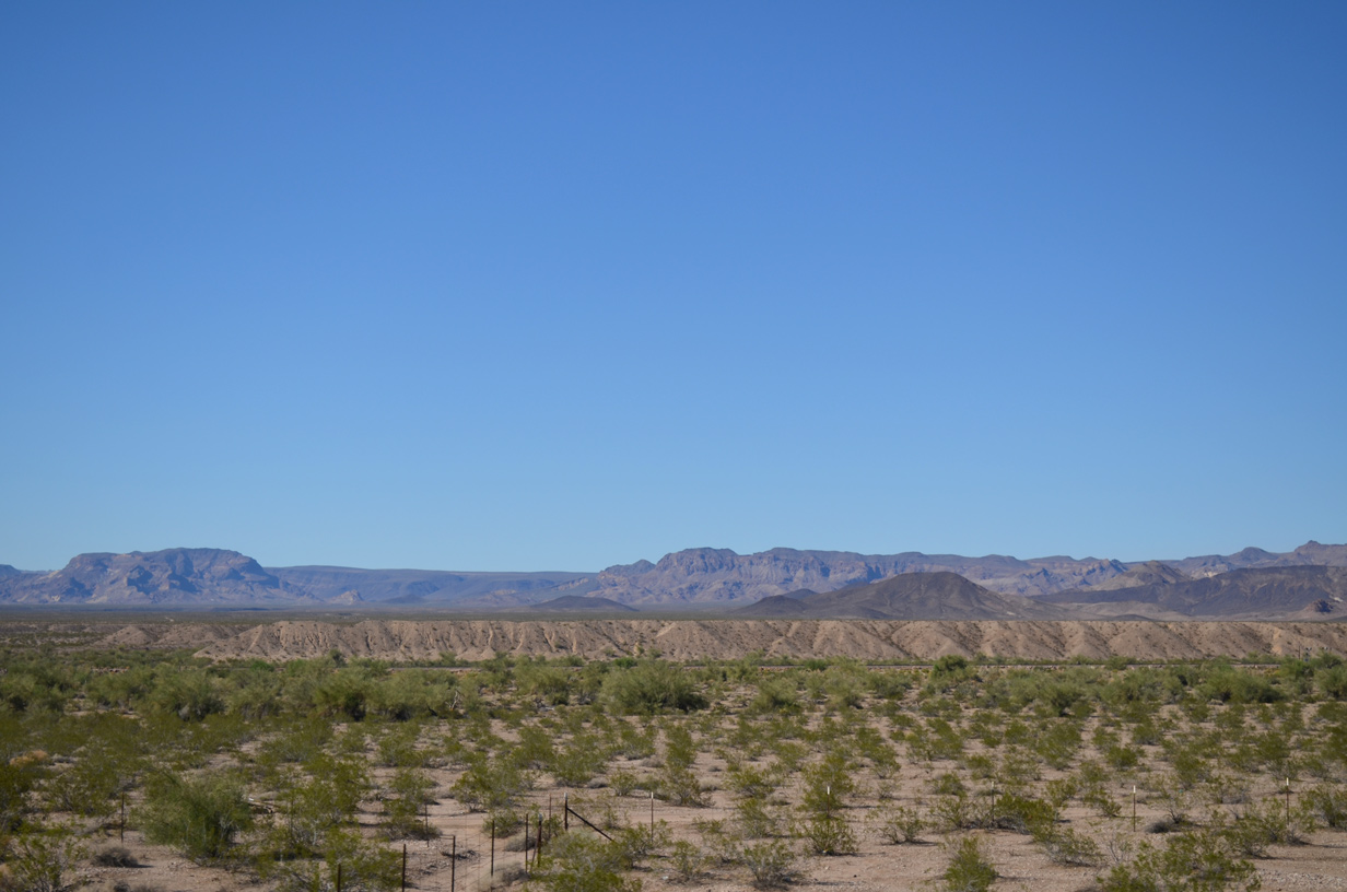
The Buck Mountains and Mohave Mountains spread along the southern horizon beyond Dutch Flat.
07/22/14
07/22/14
07/22/14

07/22/14
07/22/14
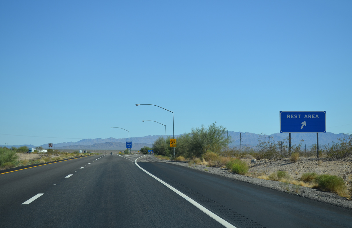
The Haviland Rest Areas are located at mile marker 23.
07/22/14
07/22/14
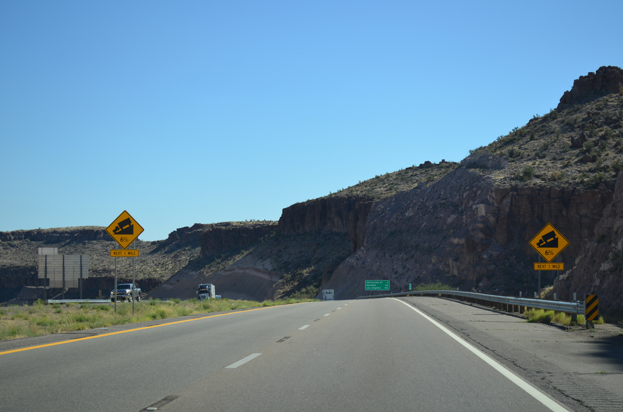
Interstate 40 makes a gradual southwesterly turn around the southern foothills of the Black Mountains.
07/22/14
07/22/14
07/22/14
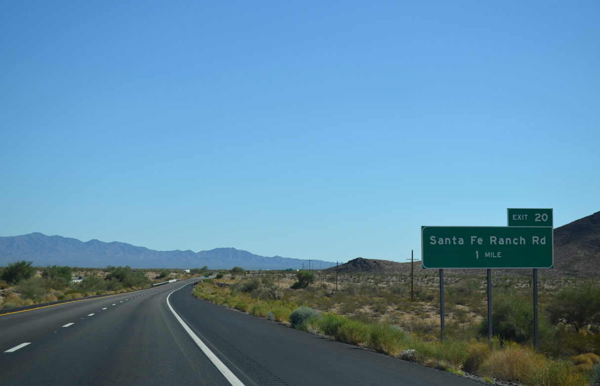
A folded diamond interchange at Exit 20 links Interstate 40 with Santa Fe Ranch Road to the southeast of the BNSF Railroad siding of Haviland.
07/22/14
07/22/14

07/22/14
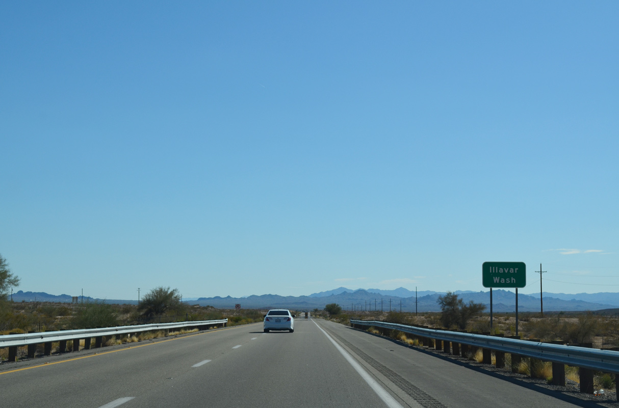
ADOT recorded 13,100 vpd along I-40 between Exit 20 and 13 in 2016.
07/22/14
07/22/14
07/22/14
07/22/14
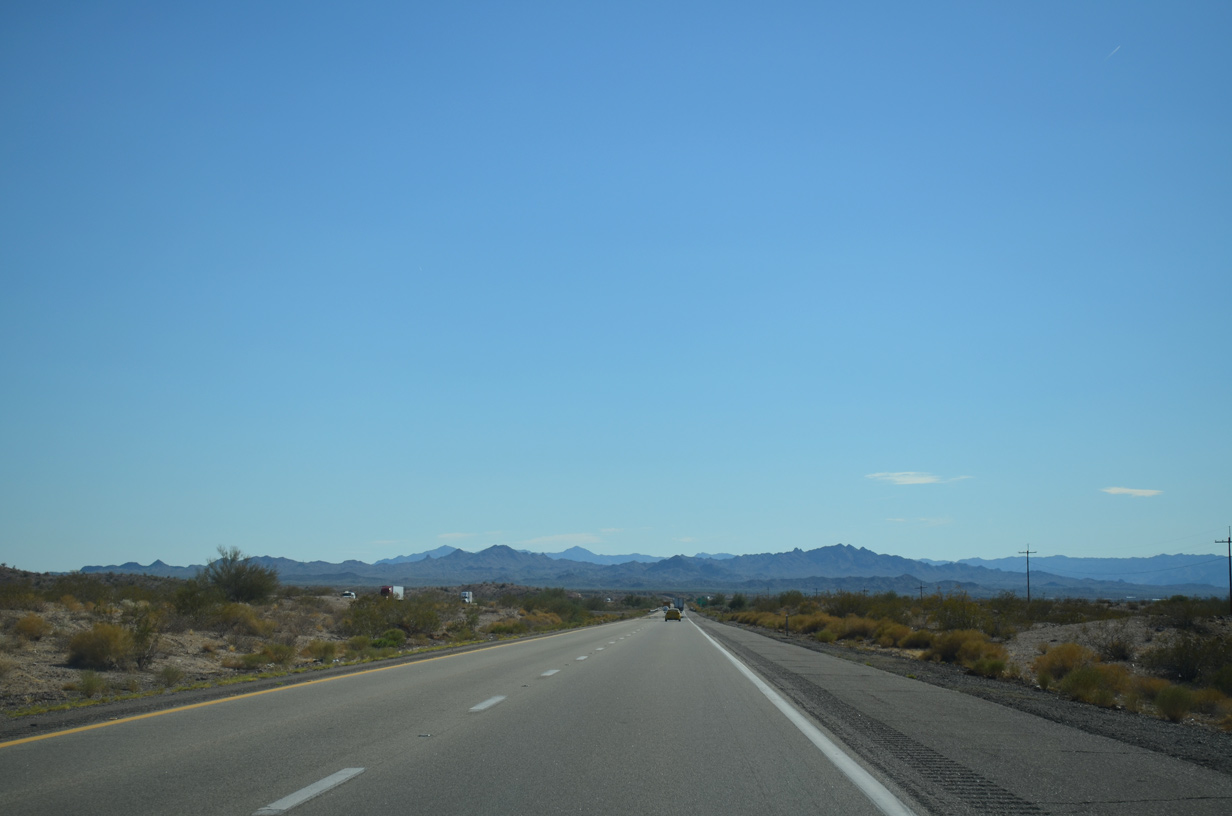
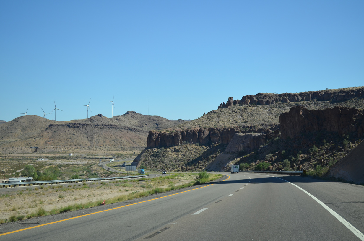
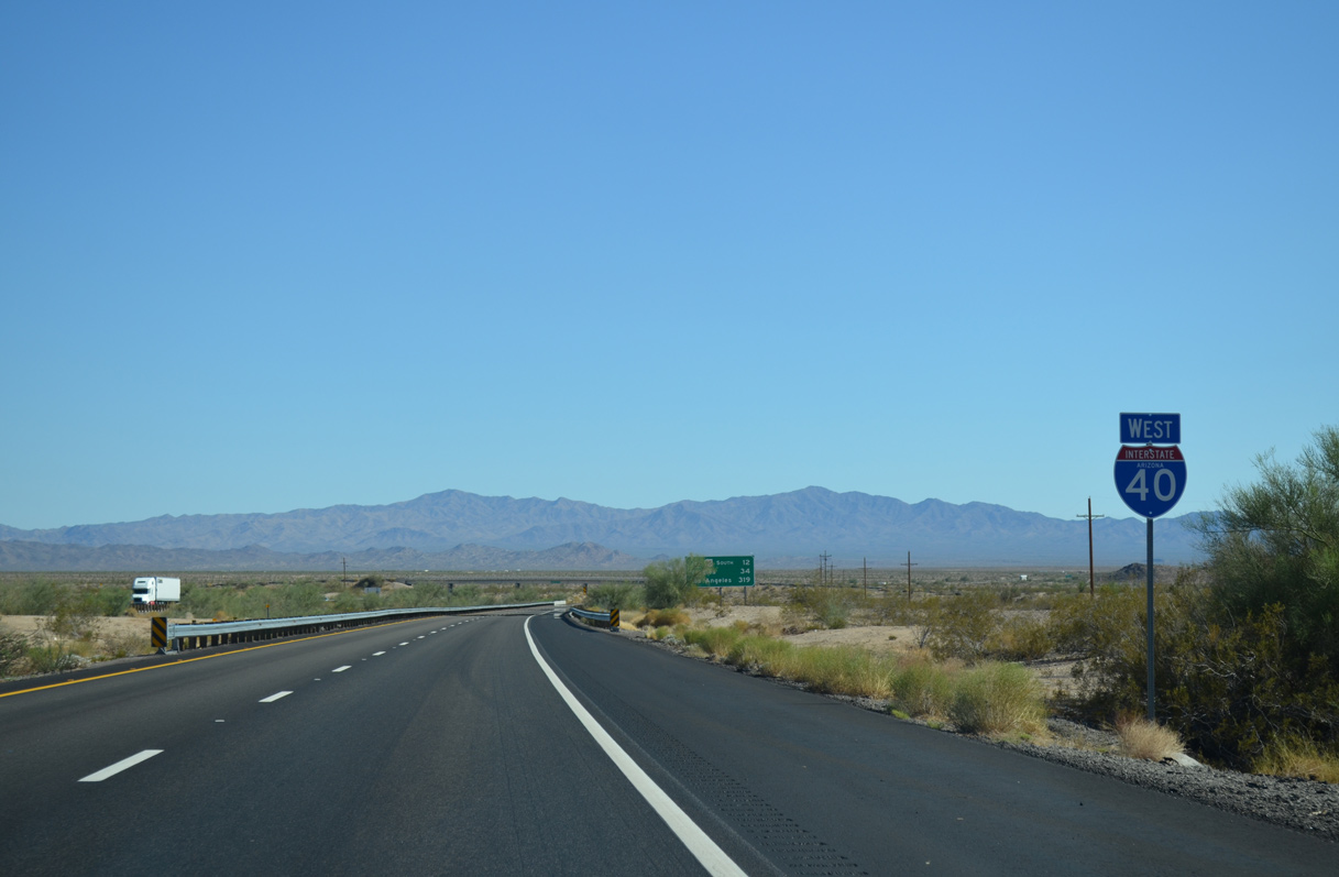
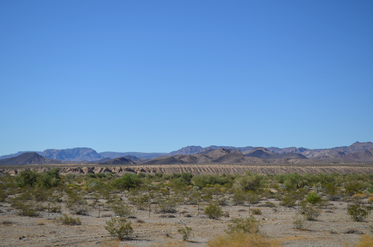
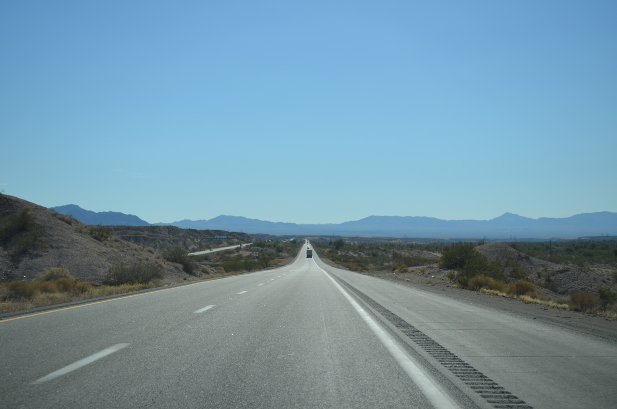
Interstate 40 continues westward by the distant Mohave Mountains toward the Chemehuevi Mountains in California.
07/22/14
07/22/14
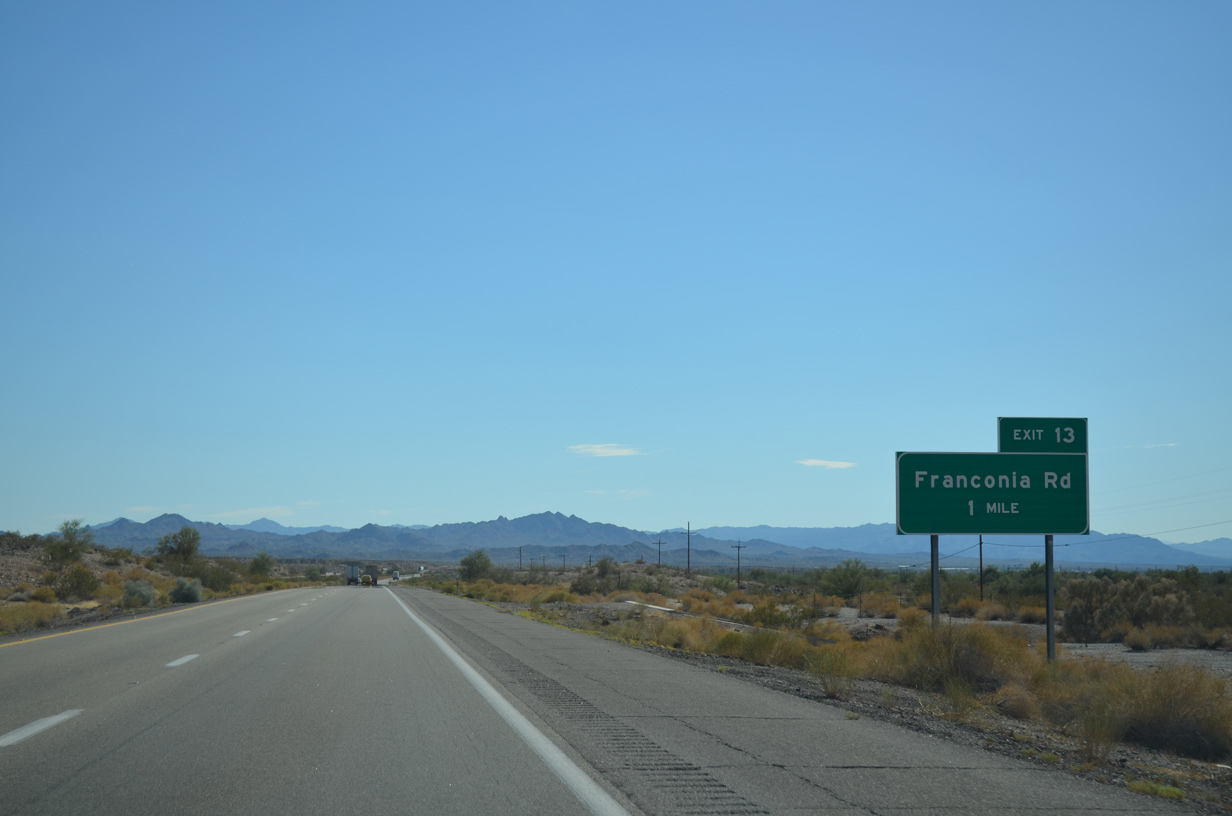
Paralleling Sacramento Wash, I-40 advances one mile west to the ranch exit for Franconia Road.
07/22/14
07/22/14
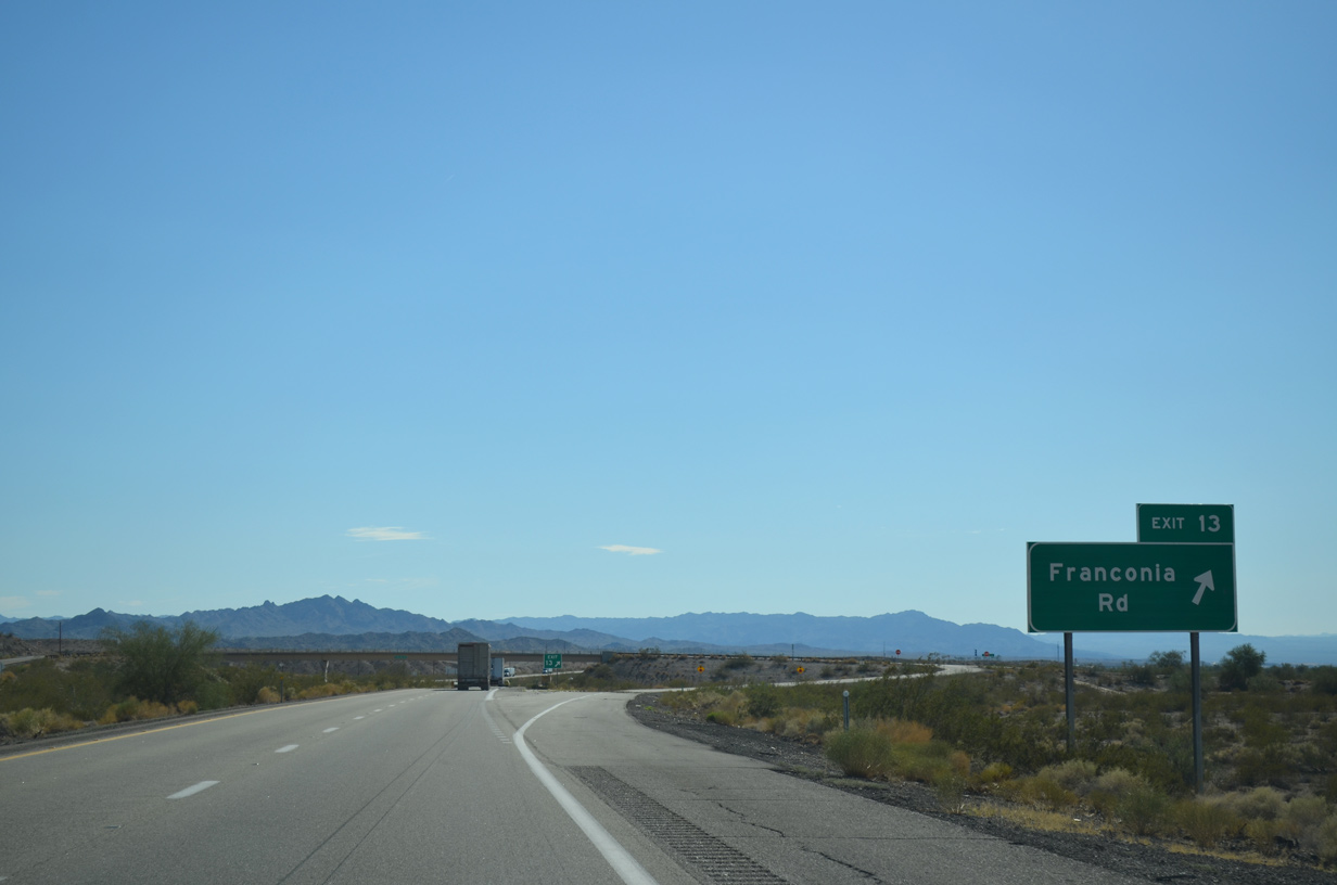
Franconia is a BNSF Railroad siding located just north of the diamond interchange at Exit 13.
07/22/14
07/22/14
07/22/14
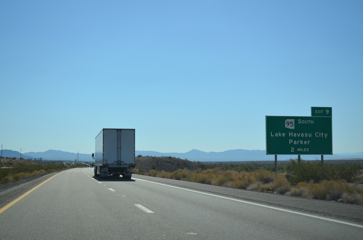
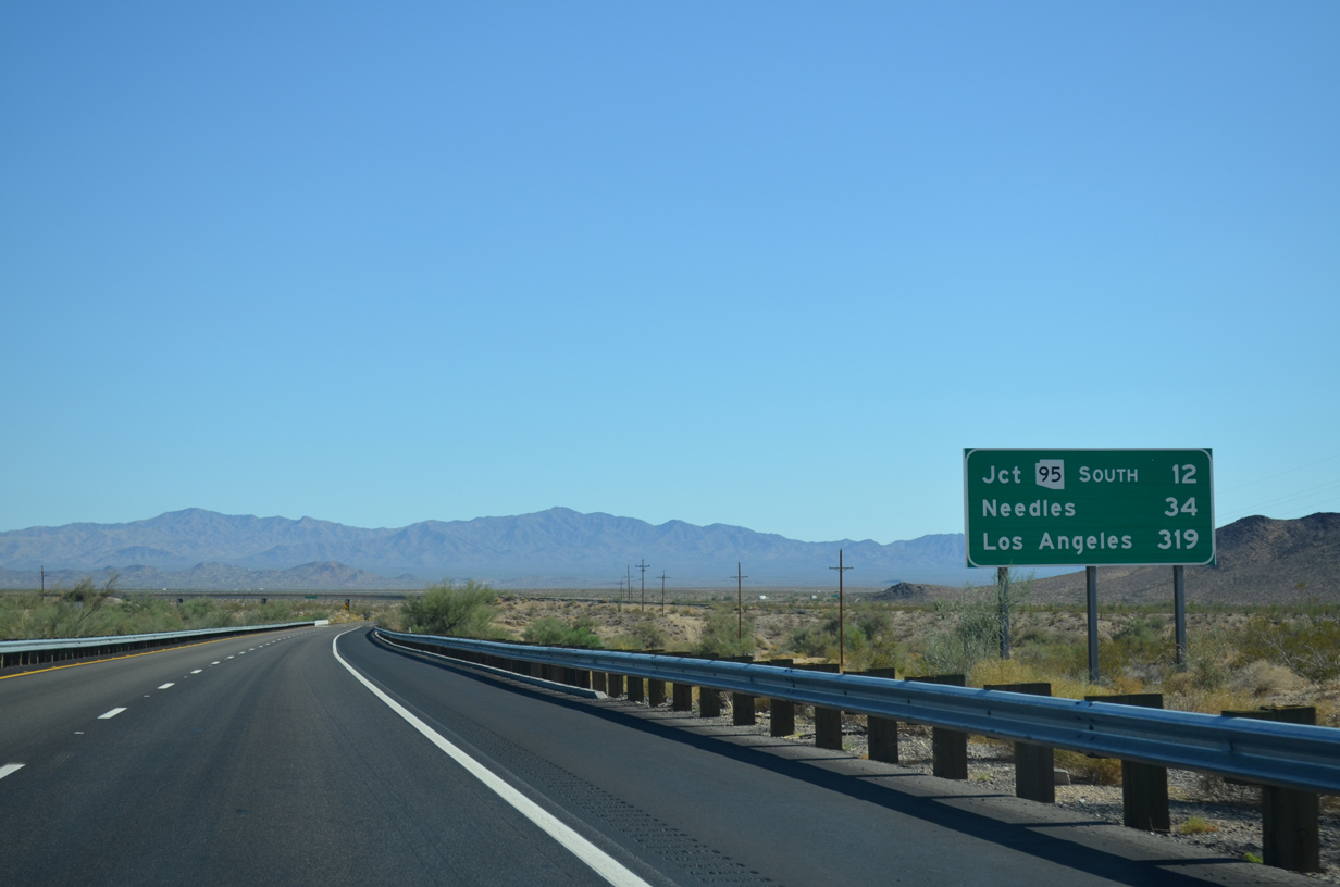
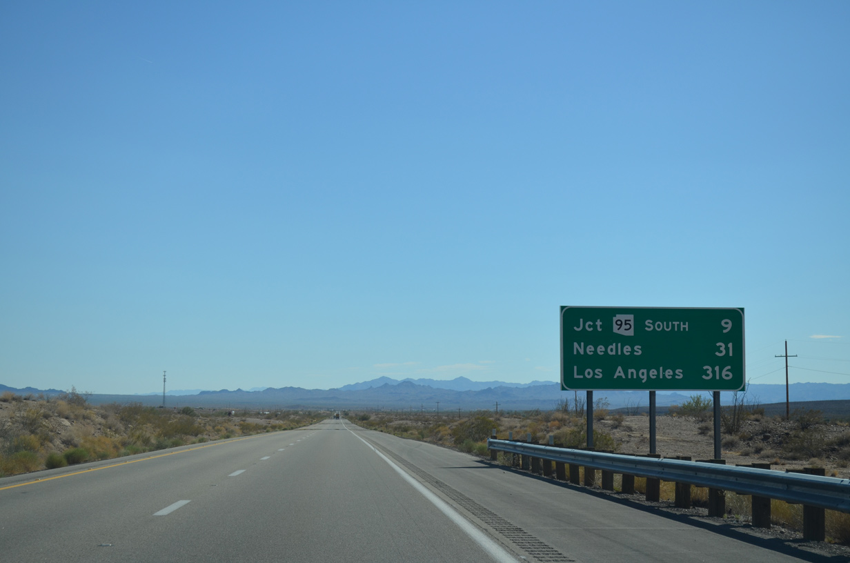
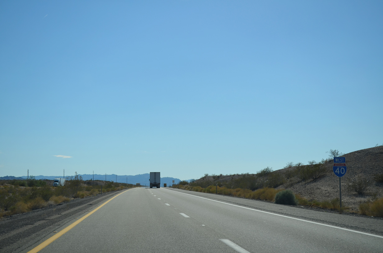
The southern branch of SR 95 ties into Interstate 40 at Exit 9, 11.12 miles north of the Lake Havasu City limits
07/22/14
07/22/14
Looking north at the Black Mountains.
07/22/14
07/22/14
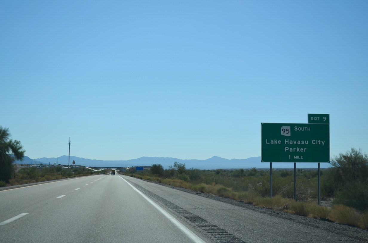
SR 95 travels 92.80 miles south, paralleling the Colorado River from Lake Havasu City to Parker, and continuing to I-10 and U.S. 95 at Quartzsite.
07/22/14
07/22/14
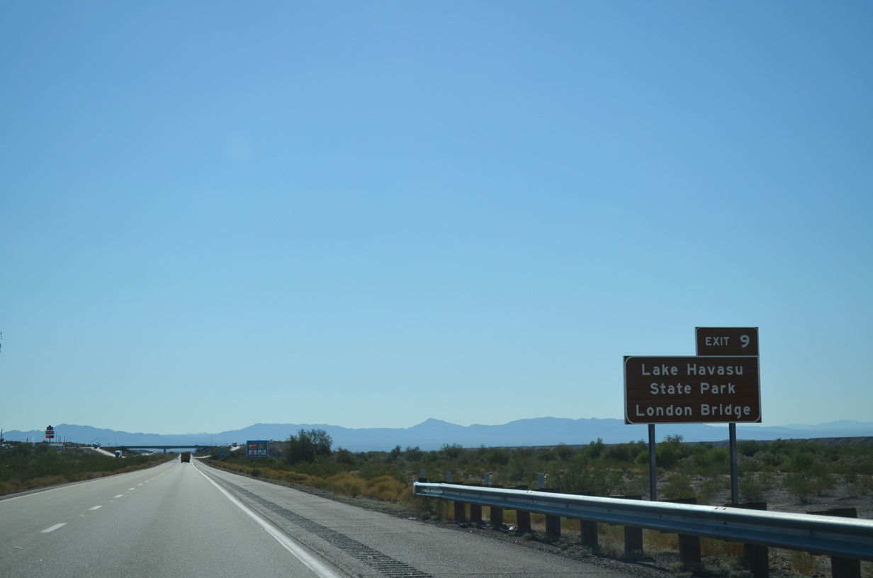
Lake Havasu City is home of London Bridge, a historic span relocated from England in the 1970s.
07/22/14
07/22/14
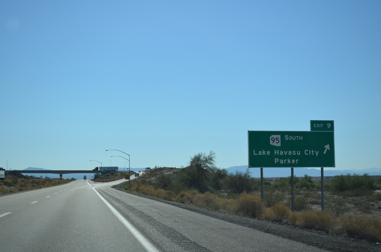
Entering the diamond interchange (Exit 9) with SR 95 south on Interstate 40 west.
07/22/14
07/22/14
07/22/14
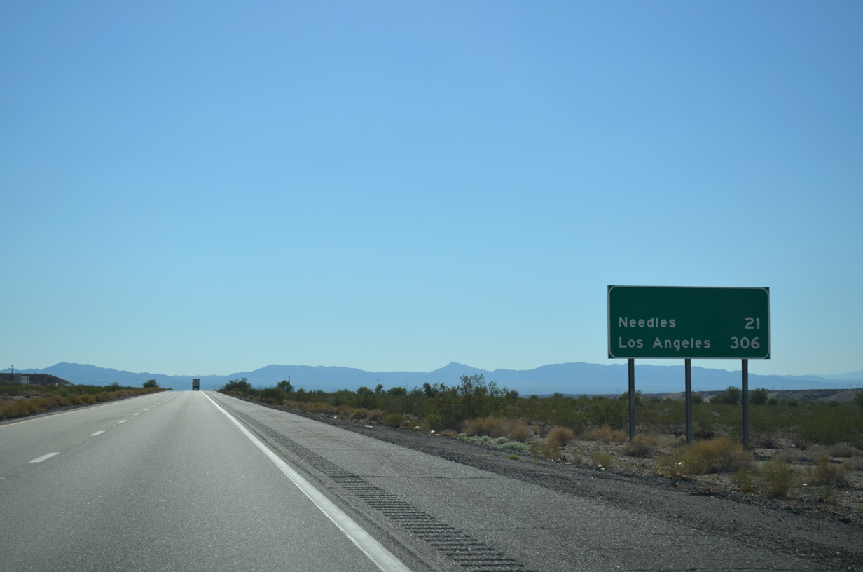
This distance sign is a carbon copy of a previous assembly where SR 95 north was removed. SR 95 formerly overlapped with I-40 west to Exit 1.
07/22/14
07/22/14
07/22/14
07/22/14
The Topock Port of Entry precedes Exit 2 along westbound Interstate 40.
07/22/14
07/22/14
07/22/14
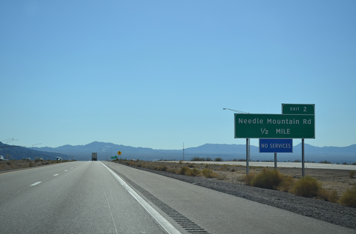
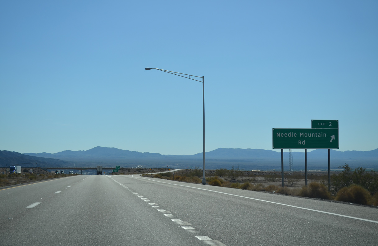
The diamond interchange (Exit 2) with Needle Mountain Road follows in a half mile.
07/22/14
07/22/14
Exit 2 departs for Needle Mountain Road. There are no services available from this exchange.
07/22/14
07/22/14
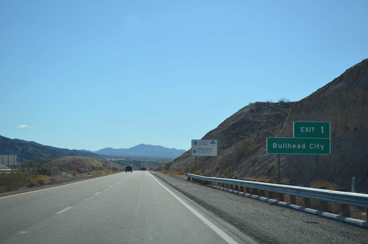
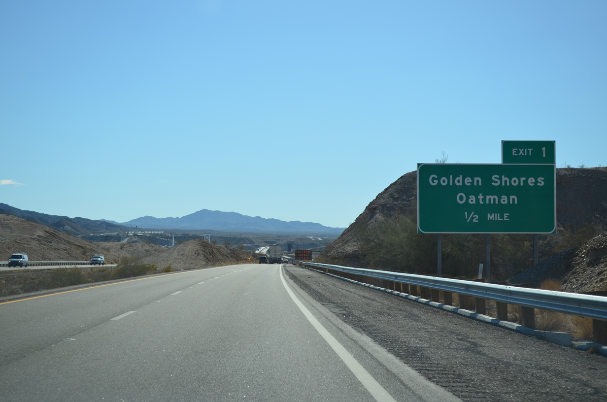
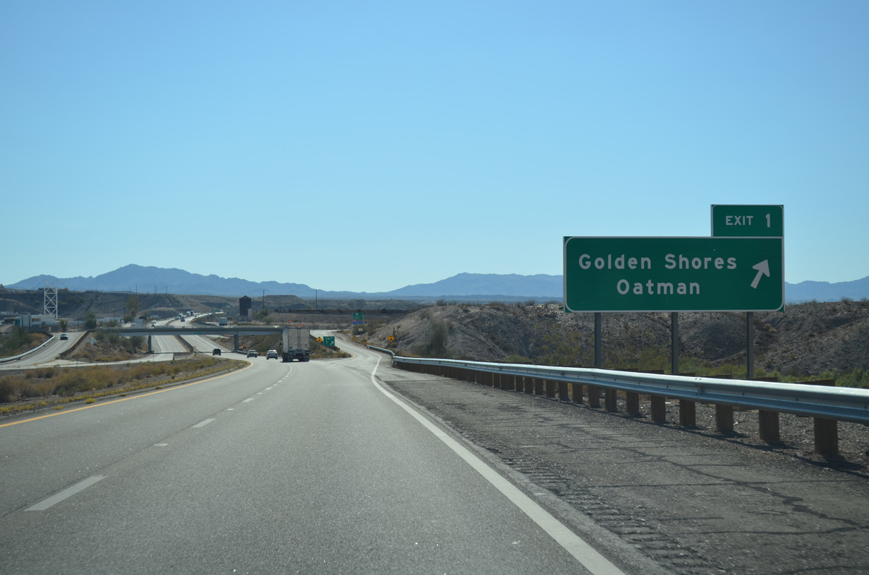
The south end of Oatman Highway (Historic U.S. 66) connects with Interstate 40 at Exit 1 and the Mohave Valley.
07/22/14
07/22/14
07/22/14
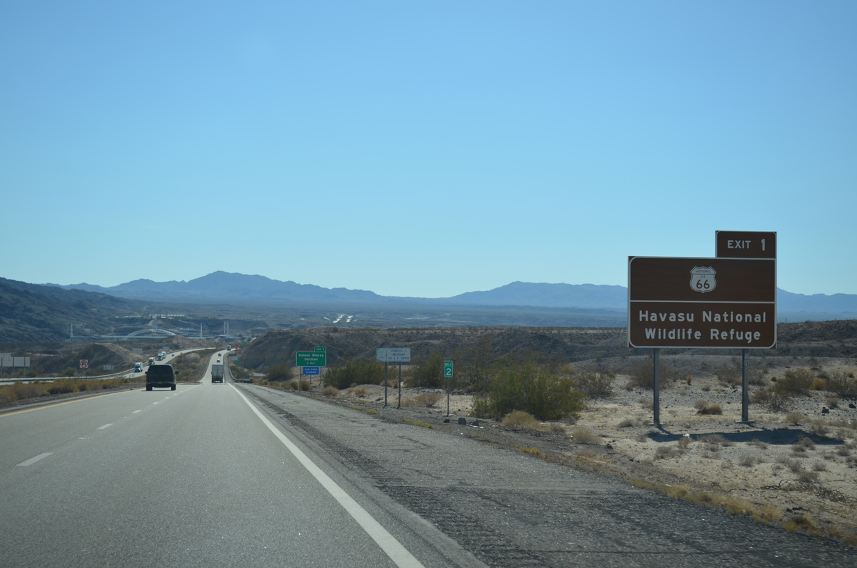
Exit 1 marks the last point where Historic U.S. 66 can be accessed in Arizona, and also marks the turnoff to reach Topock Marsh.
07/22/14
07/22/14
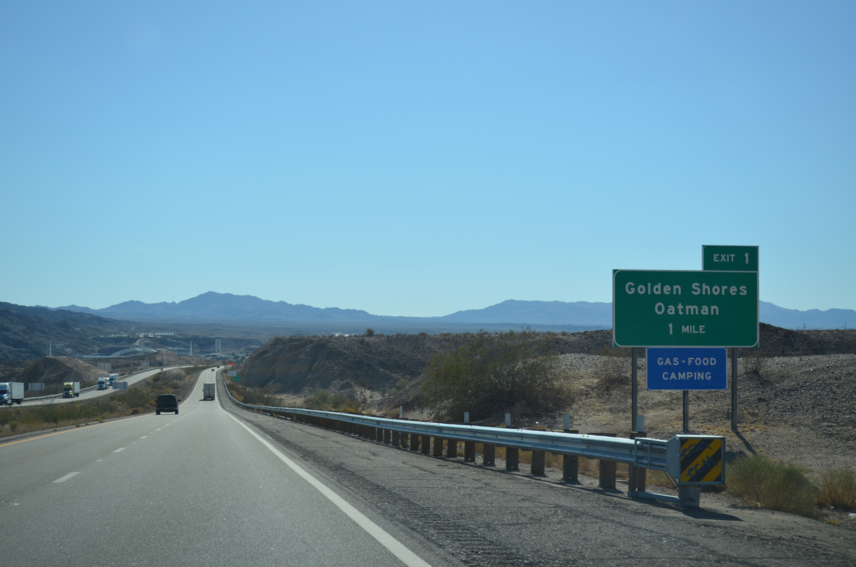
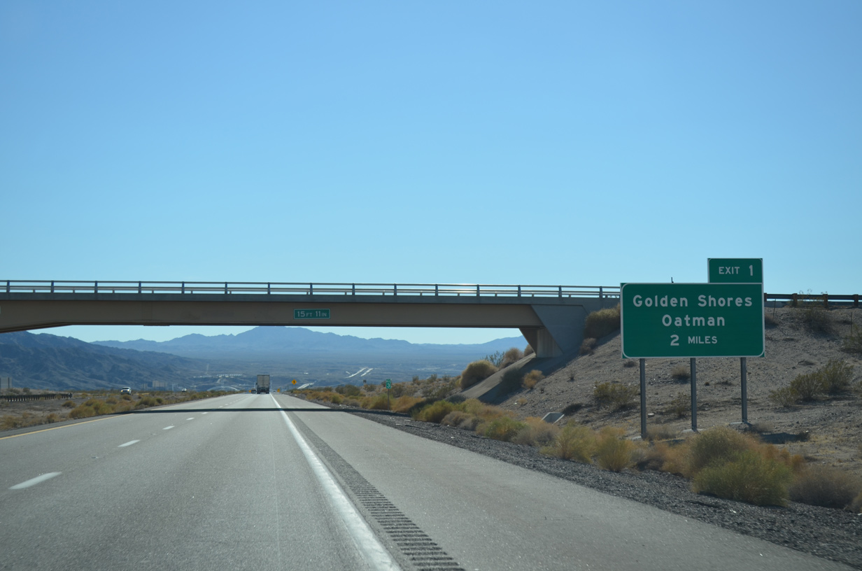
The unincorporated community of Golden Shores is 4.5 miles north from Exit 1 along CR 10 (Oatman Highway).
07/22/14
07/22/14
The northern leg of SR 95 runs 23.66 miles from the bridge across the Colorado River at K Street in Needles, California to Nevada State Route 163 in Bullhead City.
07/22/14
07/22/14
CR 10 (Oatman Highway), CR 1 and CR 227 (Courtwright Road) north from Exit 1 to SR 95 at Arizona Village was formerly part of SR 95. SR 95 was signed along these county roads between 1971 and 1992, but decommissioned due to land ownership issues along the corridor.
07/22/14
07/22/14
07/22/14
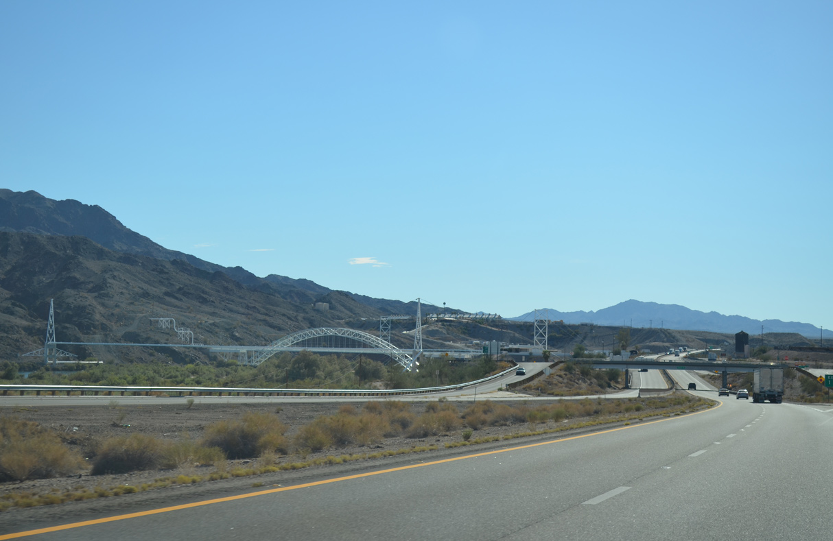
Supporting a pipeline system, a steel arch bridge spans the Colorado River just south of Interstate 40.
07/22/14
07/22/14
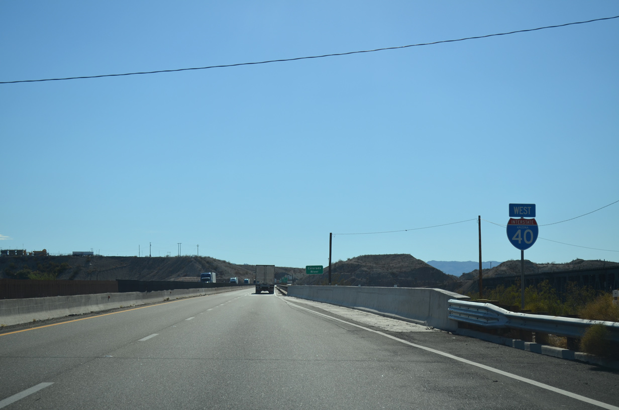
The final confirming marker for Interstate 40 west posted in Arizona.
07/22/14
07/22/14

Interstate 40 crosses the Colorado River on a narrow bridge built in 1966.
07/22/14
07/22/14
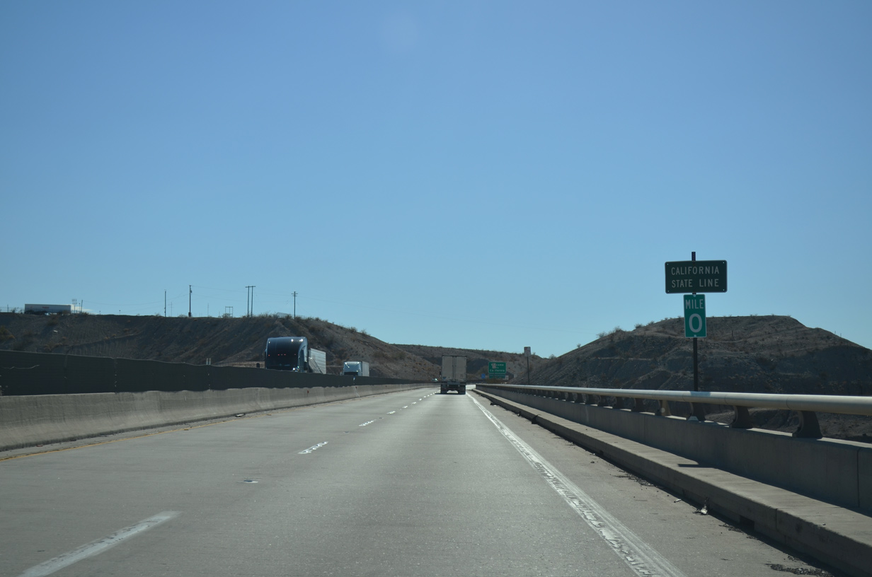
Located midway across the Colorado River Bridge is the zero milepost for Interstate 40 in Arizona. I-40 continues west into San Bernardino County, California.
07/22/14
07/22/14
Photo Credits:
- Alex Nitzman: 07/22/14
Connect with:
Page Updated Wednesday March 30, 2022.