
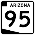
State Route 95
Split into two branches, Arizona State Route 95 mostly parallels the Colorado River to the east. Extending 92.70 miles north from I-10 and U.S. 95 at Quartzsite to Parker, the southern leg of SR 95 connects Lake Havasu City with I-40 near the Black Mountains. 23.65 miles in length, the northern branch of SR 95 connects Needles, California with Bullhead City and Laughlin, Nevada via SR 163. Numbered the same as U.S. 95, it is likely that SR 95 was originally considered as a contender for U.S. 95 in the 1960s, when that route was aligned through Needles and Blythe, California instead.
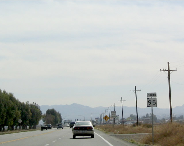
Prior to 1992, SR 95 was a continuous route between Interstate 40 at Topock (Exit 1) and Arizona Village. The highway was decommissioned north through Havasu National Wildlife Refuge and Fort Mojave Indian Reservation, partially due to right of way issues at the unincorporated community of Golden Shores. The former route follows CR 10 (Oatman Highway), CR 1 and CR 233 (Courtwright Road). SR 95 was realigned to begin at the K Street bridge crossing the Colorado River from Needles, California. Trailblazers are posted for SR 95 in the Golden State from Business Loop I-40 (Historic U.S. 66).
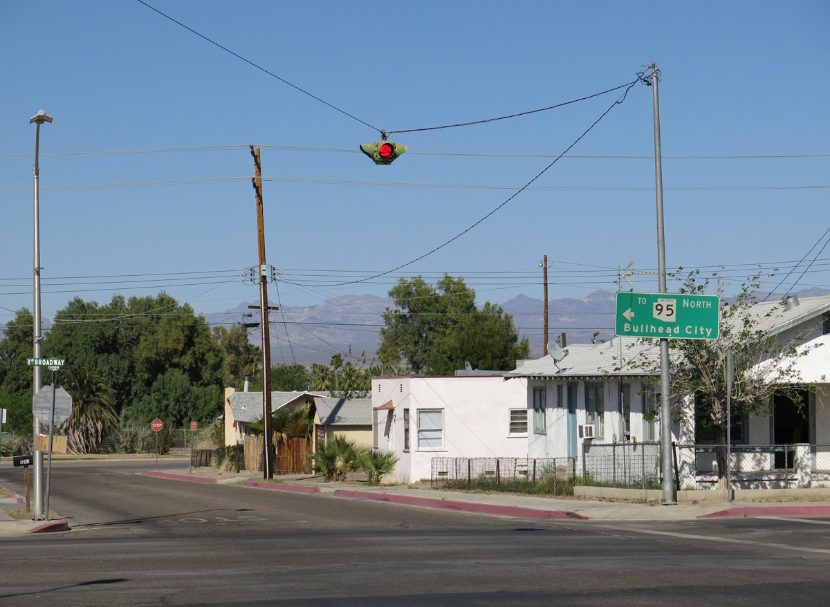
J Street north to Broadway Street (Business Loop I-40) west in the city of Needles, California forms part of the route joining Interstate 40 west with the northern section of Arizona State Route 95.
03/24/13
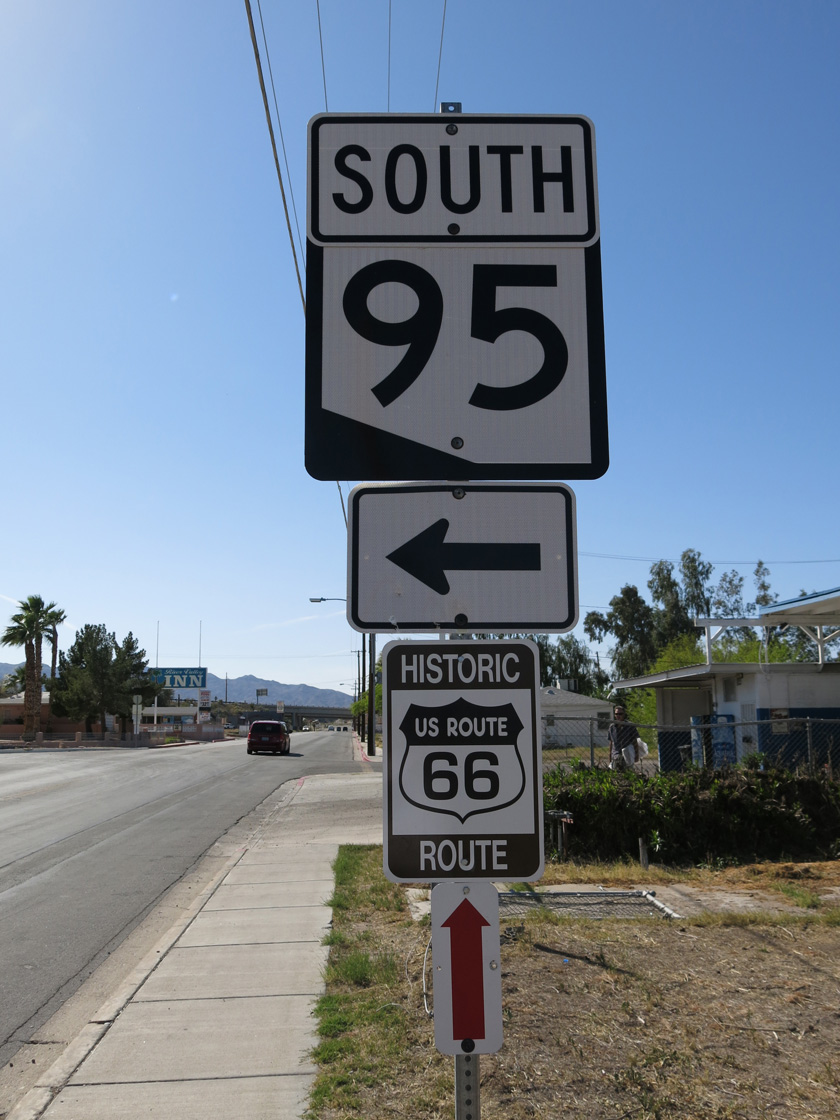
The route to Arizona State Route 95 through Needles, California utilizes Broadway Street (Historic U.S. 66) north to Needles Highway east. K Street heads north across the Colorado River to become SR 95 three blocks east of Broadway Street.
03/24/13
California Avenue extends another 0.92 miles from SR 95 at Riverside Avenue in Parker to the state line across the Colorado River Bridge. Inventoried as State Alternate Route 95, the route links SR 95 with the westbound beginning of California State Route 62.
02/20/05
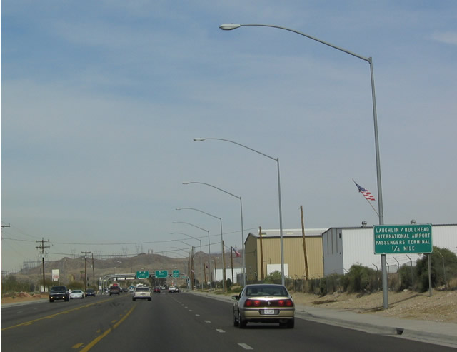
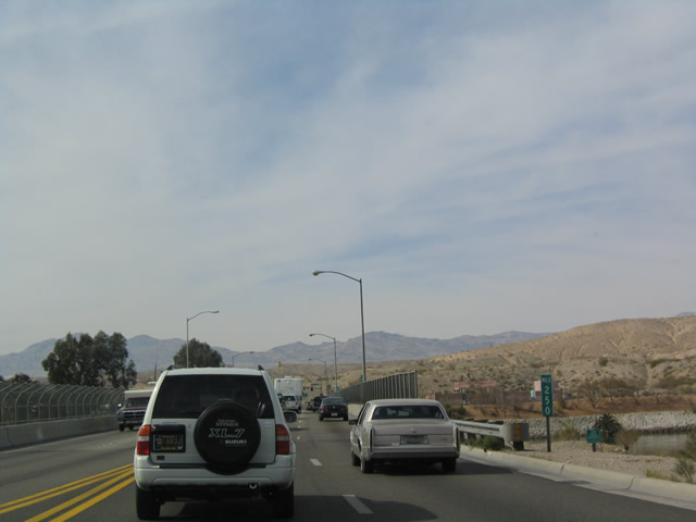
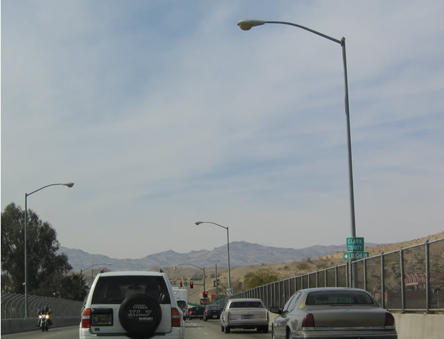
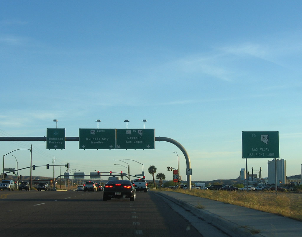
Northbound SR 95 intersects Bullhead Parkway southeast to Laughlin/Bullhead International Airport (IFP) across from SR 68.
02/16/04
SR 68 arcs eastward across northern reaches of Bullhead City en route to Kingman. The state route previously followed Davis Dam Road northwest to the Colorado River and California state line at Davis Dam.
02/16/04
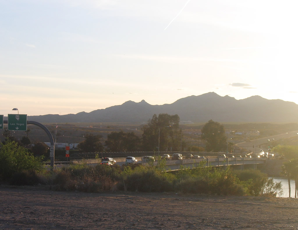
Viewing of Colorado River bridge connecting SR 95 north with Nevada State Route 163 (Laughlin Highway) west to U.S. 95. The intent is that traffic on SR 95 north will eventually join U.S. 95, which is why SR 95 crosses the Colorado River instead of SR 68.
04/01/06
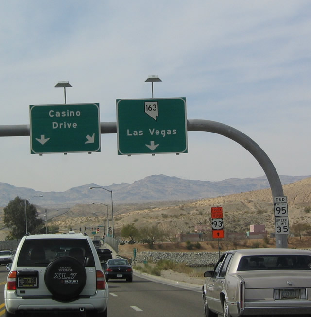
SR 95 concludes at the California state line across the Colorado River bridge linking to Nevada State Route 163 into Laughlin.
02/16/04
Milepost 250 for SR 95 is located at the Colorado River.
02/16/04
Nevada State Route 163 (Laughlin Highway) begins west from the end of SR 95. The state route generally bypasses Laughlin to the north en route to U.S. 95 near Palm Gardens.
02/16/04
 South
South
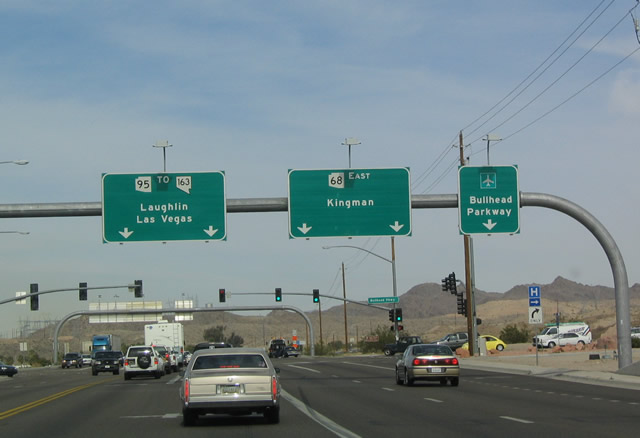
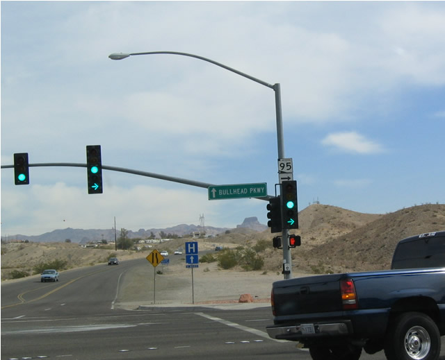
Southbound SR 95 commences from the east end of Nevada Route 163 across the Colorado River. A left turn at this traffic signal leads to SR 68 east, while straight ahead continues onto Bullhead Parkway, a bypass of Bullhead City that returns to SR 95 south of town.
02/16/04
Southbound SR 95 turns right at this intersection, as indicated by the shield mounted on the traffic signal mast arm. Bullhead Parkway heads straight from here.
02/16/04
Following the extensive downhill grade west in Bullhead City, SR 68 ends at SR 95 just east of the Colorado River bridge connecting to Nevada State Route 163 and Laughlin. SR 95 travels south from the state line into Downtown Bullhead City.
04/01/06
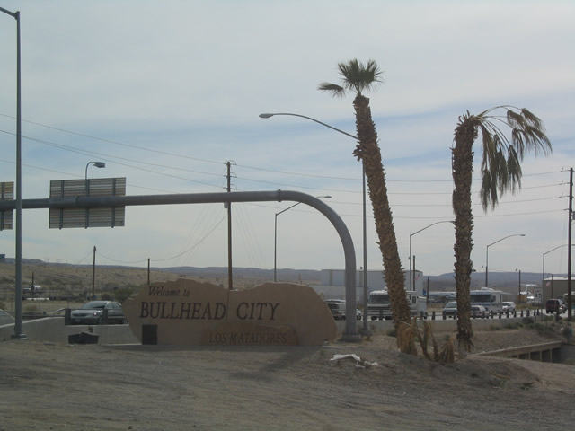
Welcome to Bullhead City sign at the southwestern quadrant of the intersection.
02/16/04
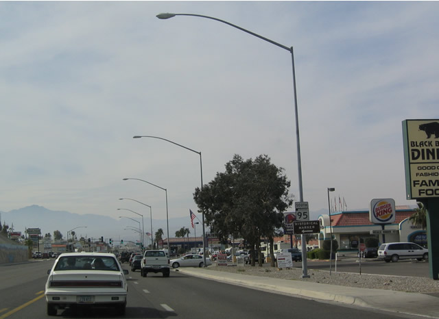
After passing through the miles and miles of strip malls, gas stations, housing developments, and motels, SR 95 exits Bullhead City. This is a popular destination for snowbirds and retirees.
02/16/04
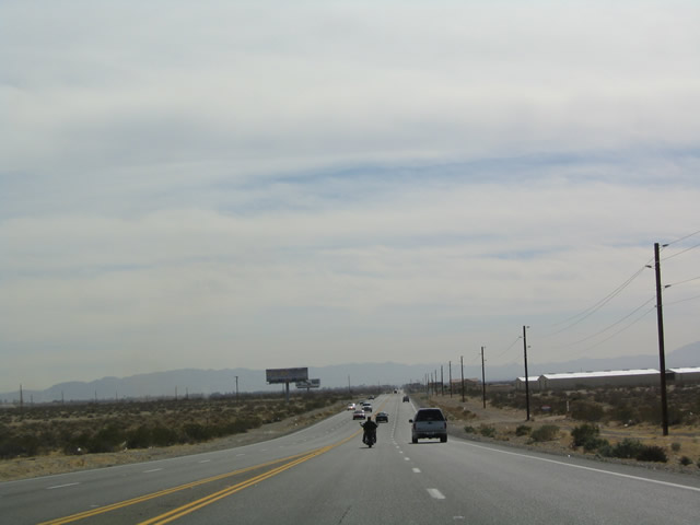
SR 95 widens out after leaving Bullhead City.
02/16/04
Southbound SR 95 shield in Mohave Valley.
02/16/04
Southbound SR 95 at CR 227. Mohave County Route 227 follows the old alignment of SR 95, culminating at Historic U.S. 66 in Topock near Interstate 40.
02/16/04
At this intersection, note the trailblazer for Interstate 40 Arizona. Trouble is, continuing straight south on SR 95 will actually connect to Interstate 40 California.
02/16/04
SR 95 continues south from CR 227 to a non-descript bridge spanning the Colorado River. The state route ends as K Street in the city of Needles, California.
02/16/04
K Street curves south from River Road into the Needles street grid.
02/16/04
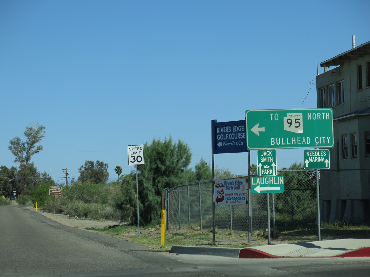
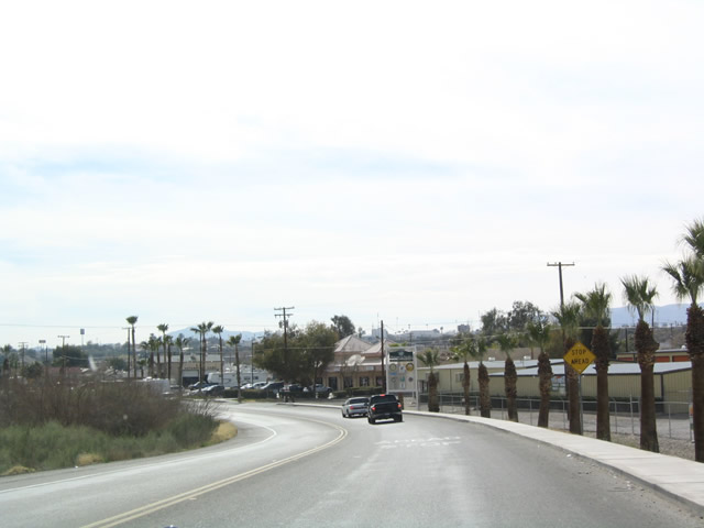
Through traffic headed south from SR 95 to I-40/U.S. 95 are directed onto Needles Highway west from K Street to Broadway Street.
03/24/13
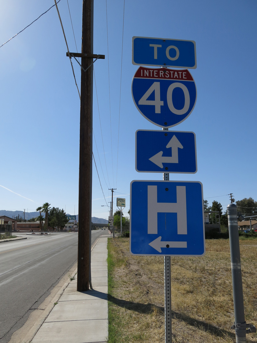
Needles Highway intersects Broadway Street (Historic U.S. 66) three blocks west of K Street. Broadway Street doubles as Business Loop I-40 south to I-40/U.S. 95 at Exit 144. The business route also follows Needles Highway north to the freeway at Exit 141.
03/24/13
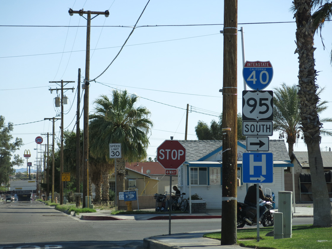
Broadway Street south to J Street west connects SR 95 with Interstate 40.
03/24/13
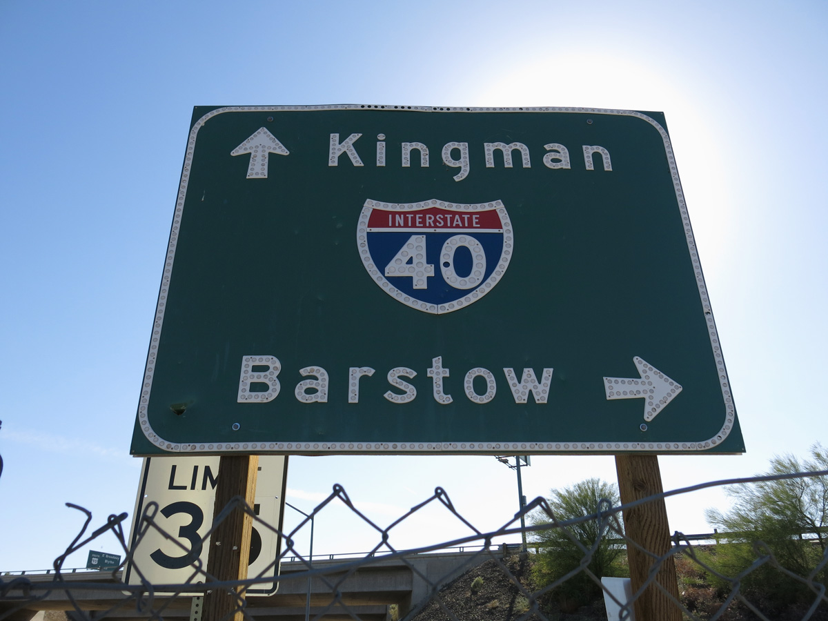
J Street heads southwest from Business Loop I-40/Historic U.S. 66 (Broadway Street) a tenth of a mile to the diamond interchange along I-40/U.S. 95 at Exit 142.
03/24/13
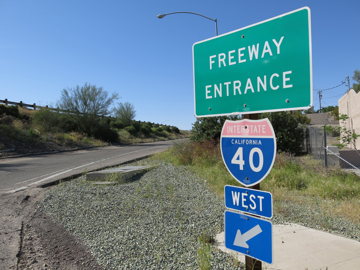
I-40/U.S. 95 overlap northwest from Needles to Piute Valley, where U.S. 95 separates north to Searchlight and Las Vegas, Nevada.
03/24/13
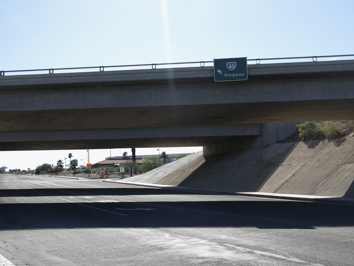
Interstate 40 curves southeast along the Colorado River from Needles into Arizona at Topock. Arizona State Route 95 resumes south from I-40 at Exit 9.
03/24/13
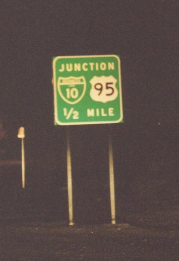
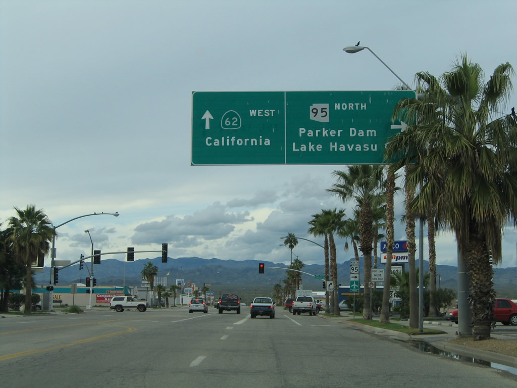
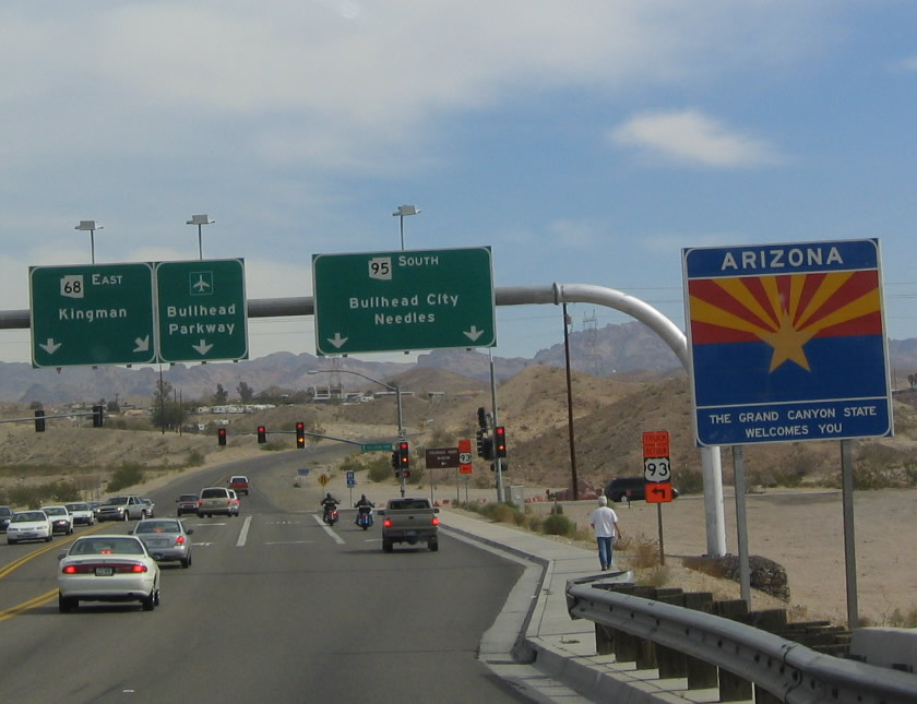
Southbound SR 95 approaching Junction Business Loop I-10 and U.S. 95. The California "triangular" Interstate shield appears to have invaded Arizona, as evidenced by this signage. The southern terminus of SR 95 is at this intersection in Quartzsite. Business Loop I-10 here is old U.S. 60-70. Both routes have since been decommissioned this far west. U.S. 95 continues from this point south toward Yuma and San Luis Colorado.
11/10/00
State Alternate Route - Parker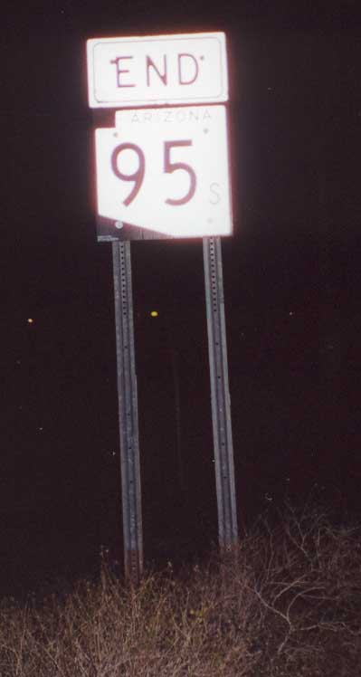
Signed as a Truck Route for SR 95 and inventoried as State Alternate Route 95, California Avenue is state-maintained for 0.92 miles between the turn of SR 95 at Riverside Drive and the California state line across the Colorado River. An end shield for SR 95 north stands at the foot of the Colorado River Bridge. The span also marks the east end of California State Route 62.
11/10/00
Photo Credits:
- Andy Field: 11/10/00, 02/16/04, 04/01/06, 03/24/13
- Alex Nitzman: 02/20/05
Connect with:
Page Updated Tuesday August 05, 2025.