
Business Loop I-40 - Needles


Poorly signed, Business Loop I-40 through Needles is a locally maintained route following Historic U.S. 66 and the former route of U.S. 95 through the city. The route initially runs south from Exit 141 along Needles Highway before turning east below I-40/U.S. 95 by post mile 141.60. Needles Highway extends east to K Street north, which connects to Arizona State Route 95.
Following the east side of Interstate 40, Business Loop I-40 turns south along E Broadway Avenue from Needles Highway to J Street. J Street links Historic U.S. 66 with I-40/U.S. 95 to the southwest at Exit 142. Broadway Avenue continues southeast through Downtown Needles to eventually run alongside the BNSF Needles Rail Yard. The business route returns to I-40/U.S. 95 south of Ice Plant Road at Exit 144.
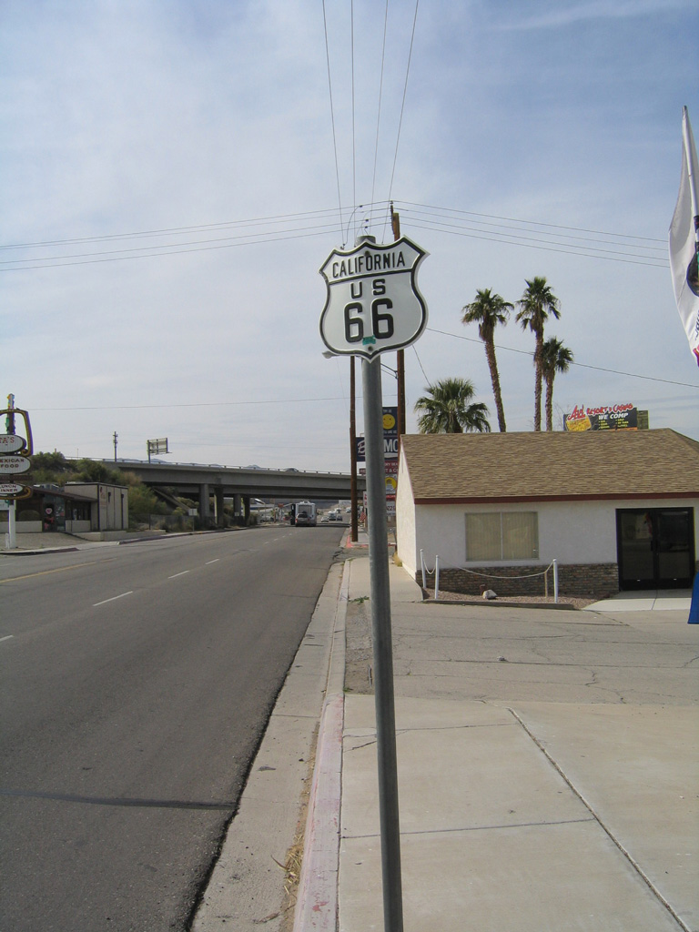
San Bernardino County Route 66 (Historic U.S. 66) overtakes Needles Highway south to a parclo B2 interchange with I-40/U.S. 95 at Exit 141.
03/24/13
CR 66 (Needles Highway) crosses I-40/U.S. 95 south.
03/24/13
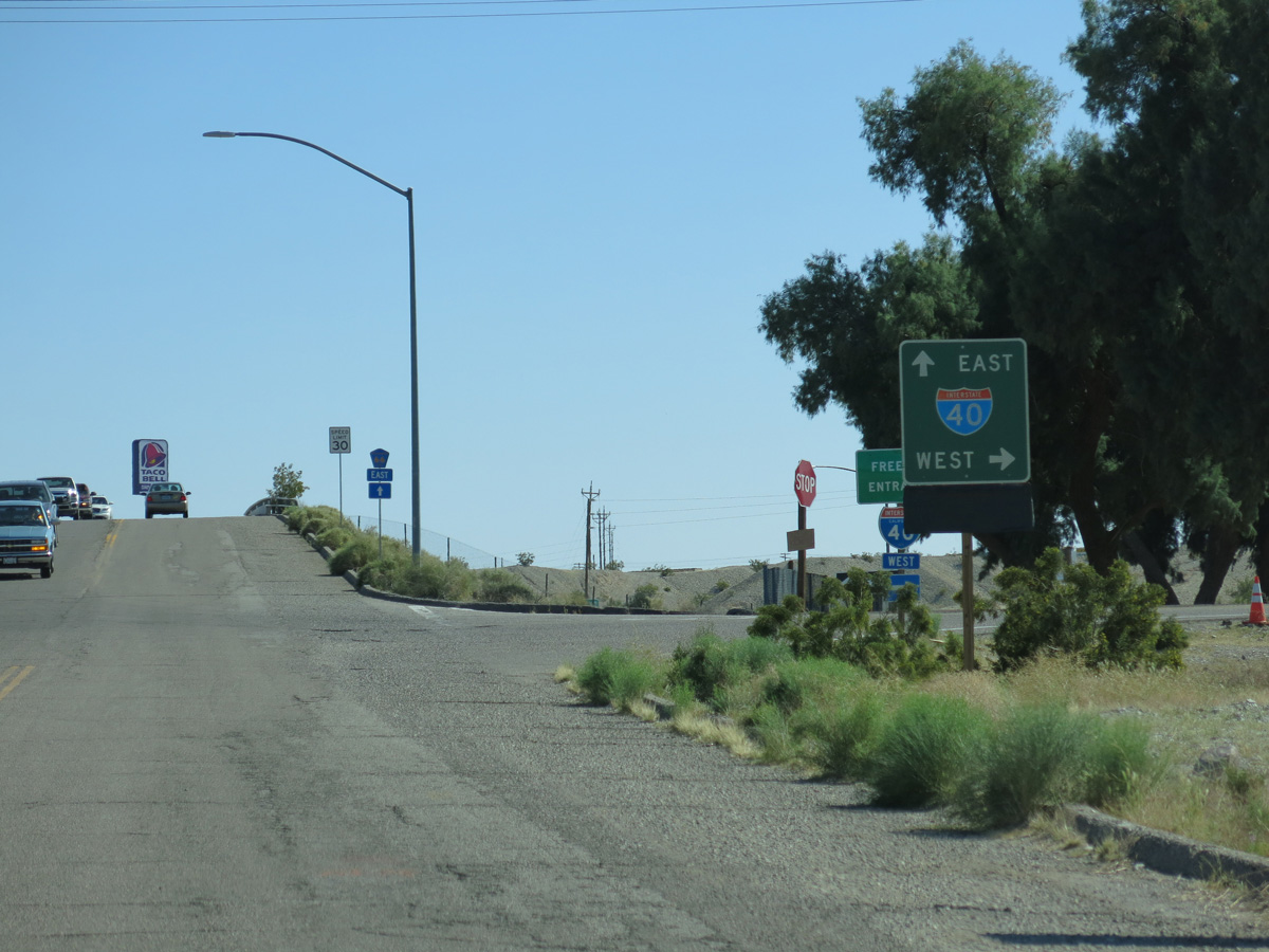
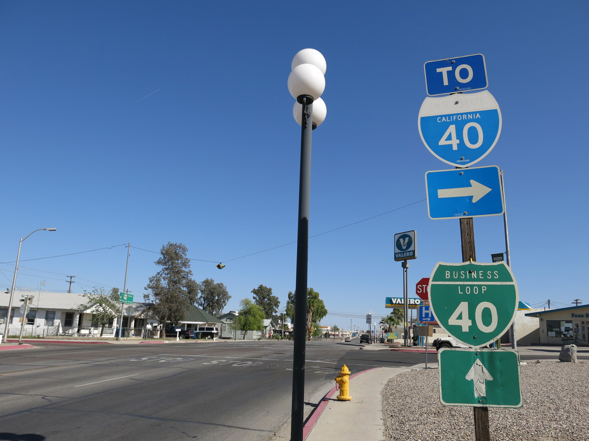
The eastbound entrance ramp for I-40/U.S. 95 follows from CR 66 (Needles Highway) east. Business Loop I-40 begins east here.
03/24/13
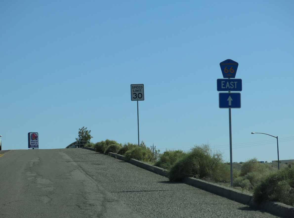
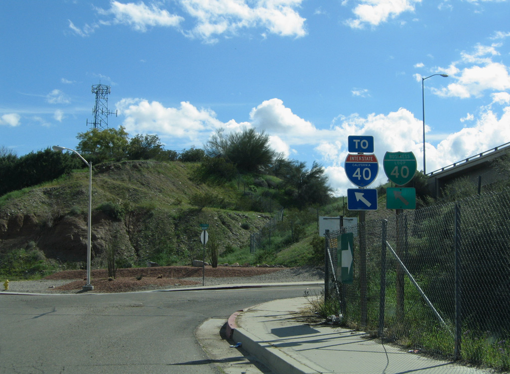
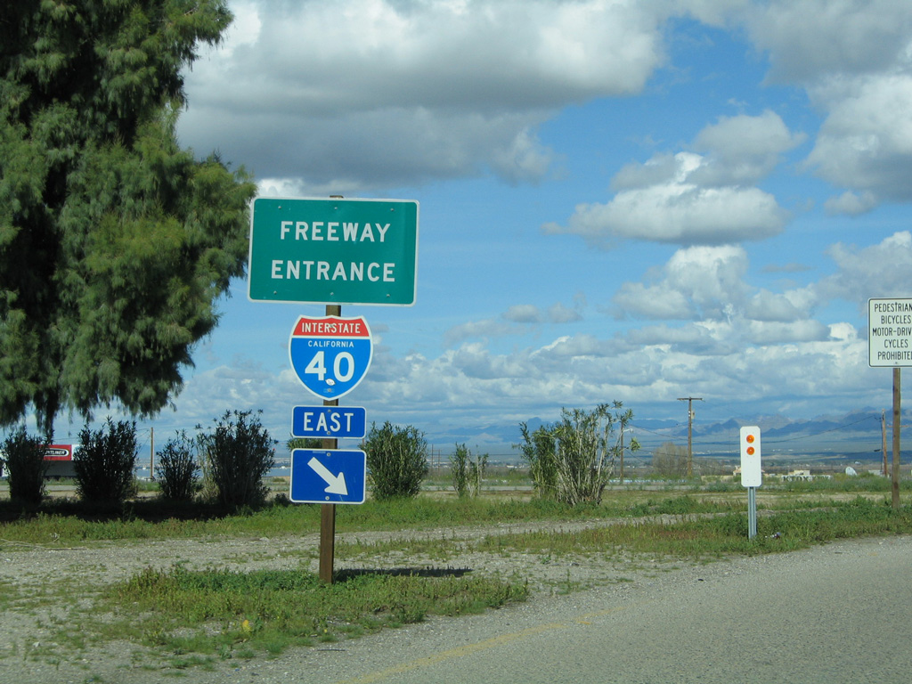
Heading south from I-40/U.S. 95 at Exit 141, Business Loop I-40 is unmarked along CR 66 (Needles Highway).
03/24/13
Needles Highway turns east into the Needles street grid at Arch Street and T Streets.
03/24/13
A painted shield for Historic U.S. 66 preceding R Street and the Interstate 40 over crossing was gone by 2018.
03/24/13
Removed by 2011, a small guide sign posted at P Street preceded the southward turn of Business Loop I-40 from Needles Highway east onto Broadway Street south.
02/20/05
The intersection of Needles Highway, N Street north and Broadway Street south was reconfigured into a signalized intersection by 2018. Changes included removing the free flowing right turn for Business Loop I-40 eastbound.
02/20/05
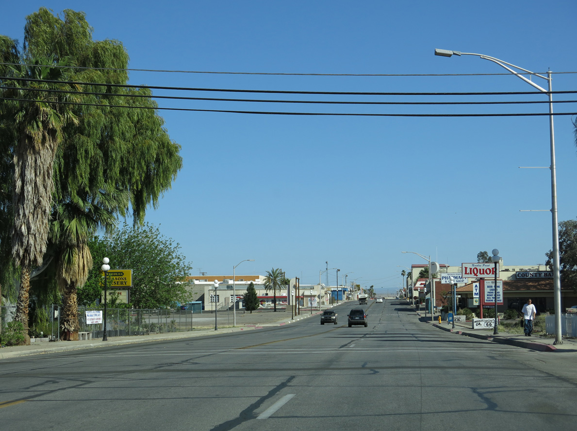
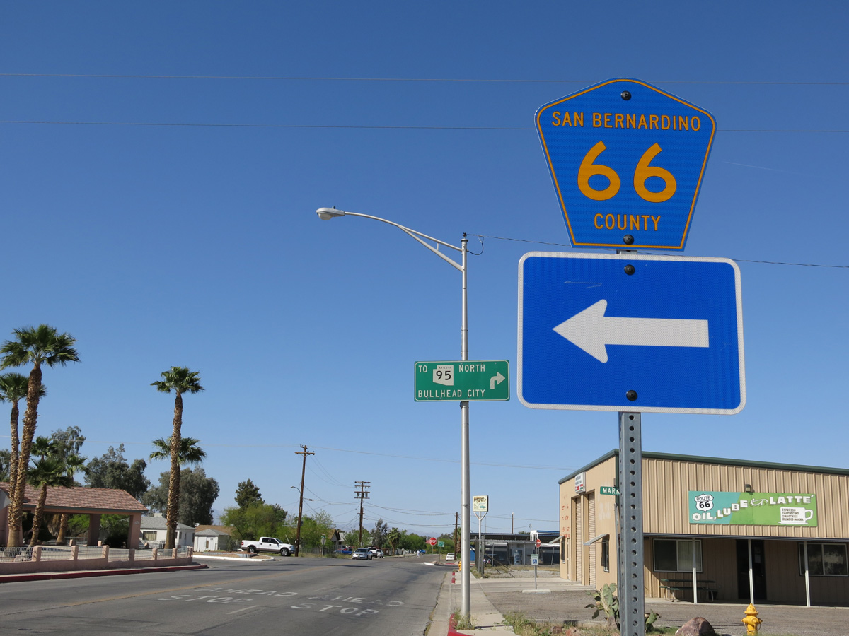
Needles Highway extends three blocks east to K Street, which connects Needles with Arizona State Route 95 north to Mohave Valley. Sign changes made here by 2018 removed the Business Loop I-40 shield.
03/24/13
Broadway Street heads south two blocks to run along the east side of I-40/U.S. 95.
03/24/13
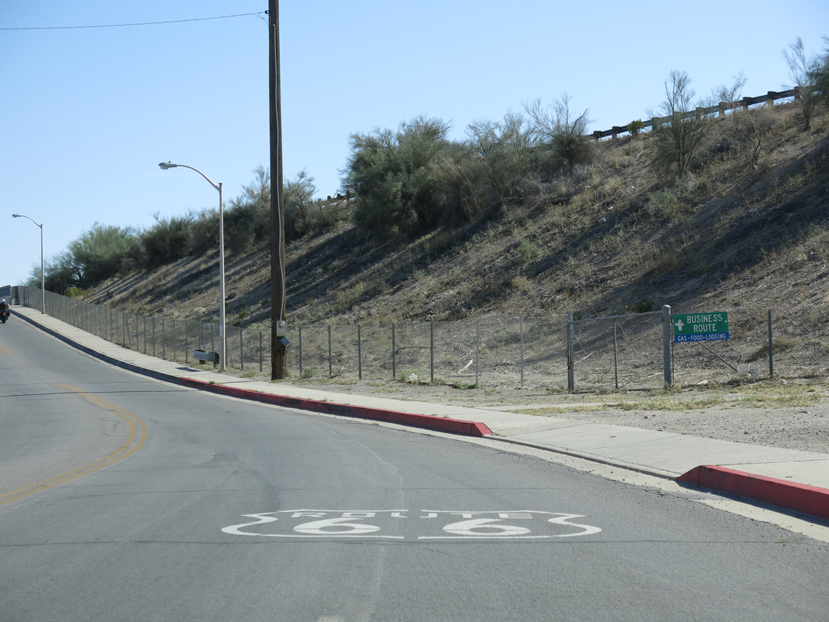
Affixed to a chain link fence, a business route sign appears along Broadway Street south by the pedestrian tunnel below I-40 west to California Avenue.
03/24/13
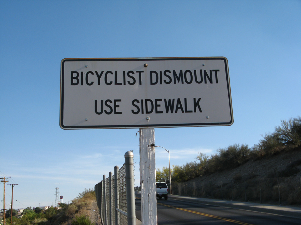
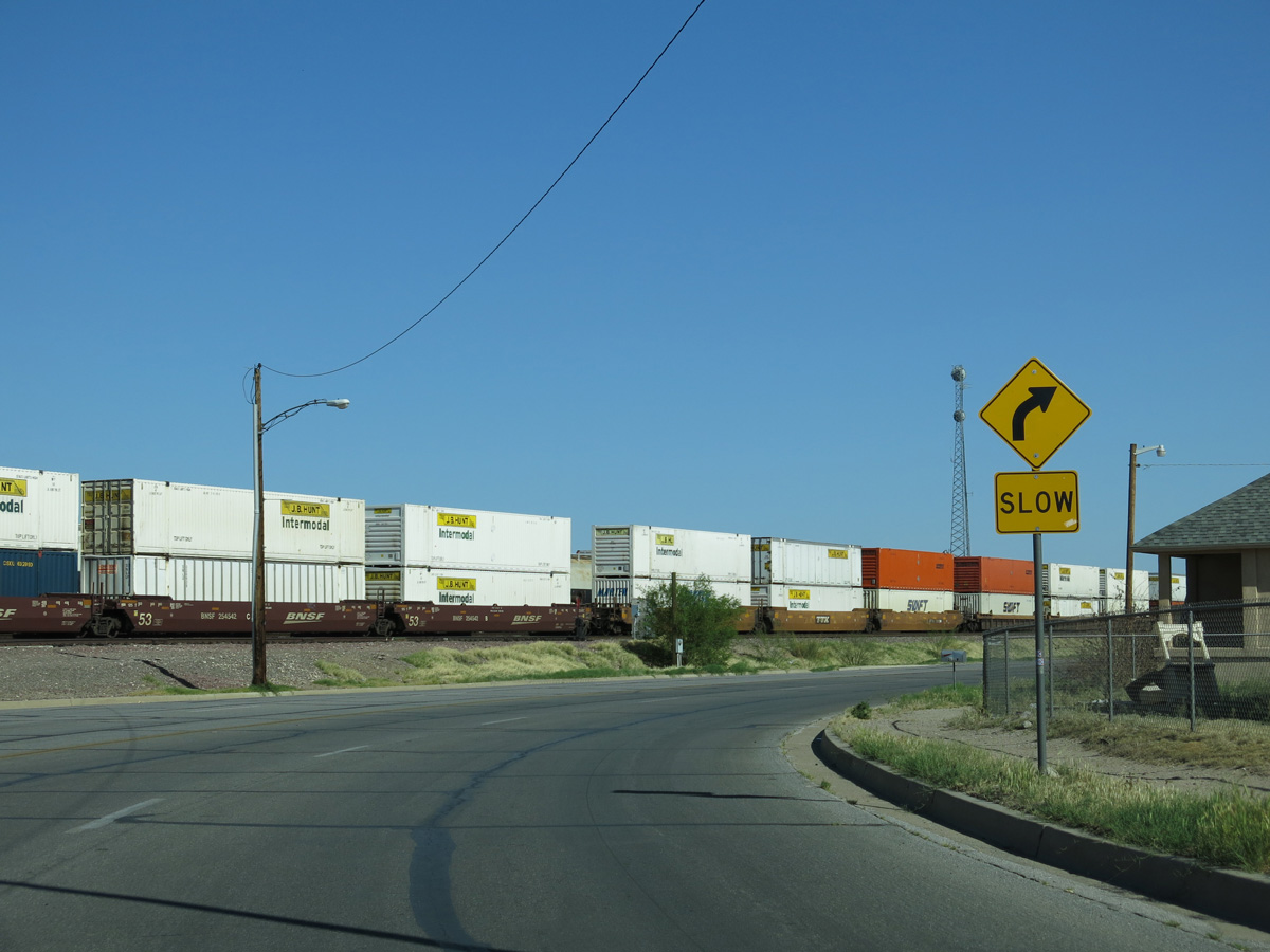
Broadway Street ascends across a BNSF Railroad line south between Walnut Street and L Street. Dating back to 1965 and removed by 2021, a "bicyclists dismount" porcelain enamel sign was posted for the crossing.
04/01/07
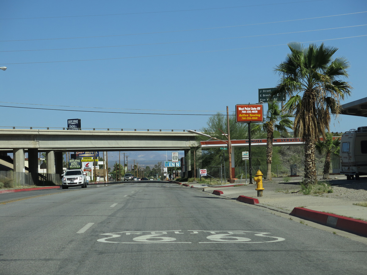
Trailblazers for Business Loop I-40 and I-40 were posted where Broadway Street shifts east away from the adjacent freeway at L Street.
02/20/05
03/14/09
The Business Loop I-40 shield at Broadway Street and L Street was removed by 2011.
03/24/13
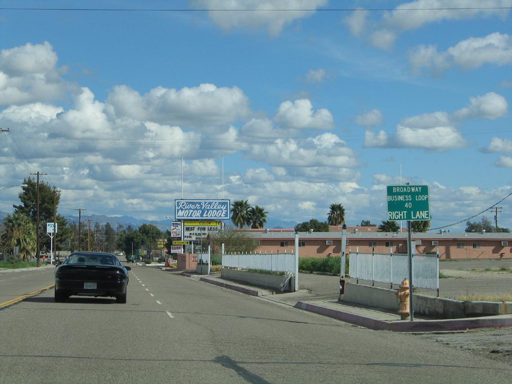
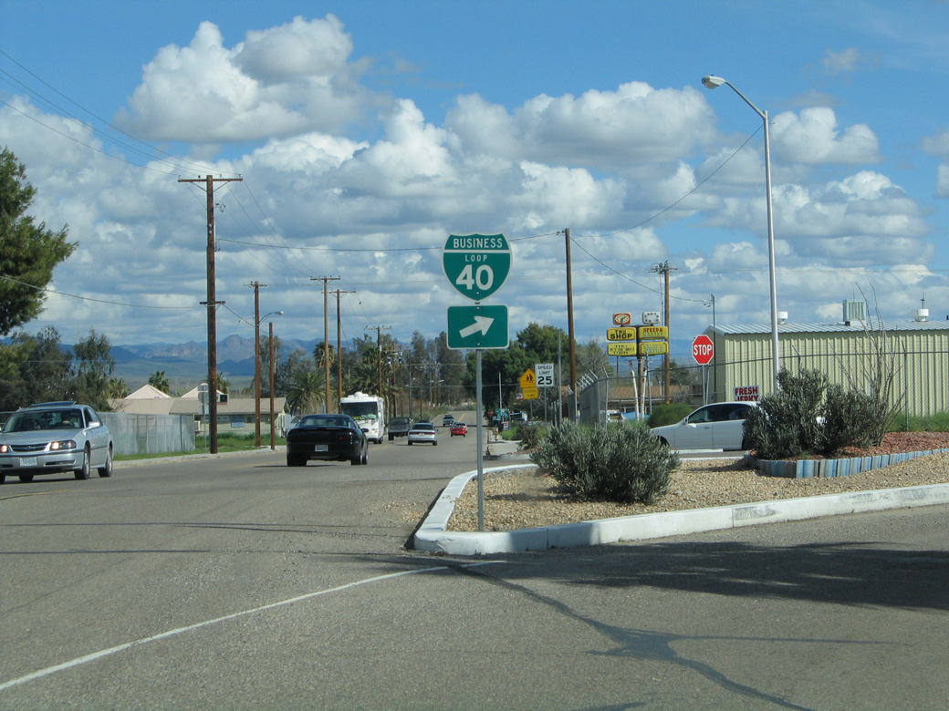
J Street connects Business Loop I-40/Historic U.S. 66 (Broadway Street) and Downtown Needles with I-40/U.S. 95 nearby at Exit 142. Broadway Avenue and J Street was upgraded to a signalized intersection by 2018.
02/22/05
03/24/13
The confirming marker for County Route 66 east after J Street was removed after 2018.
03/24/13
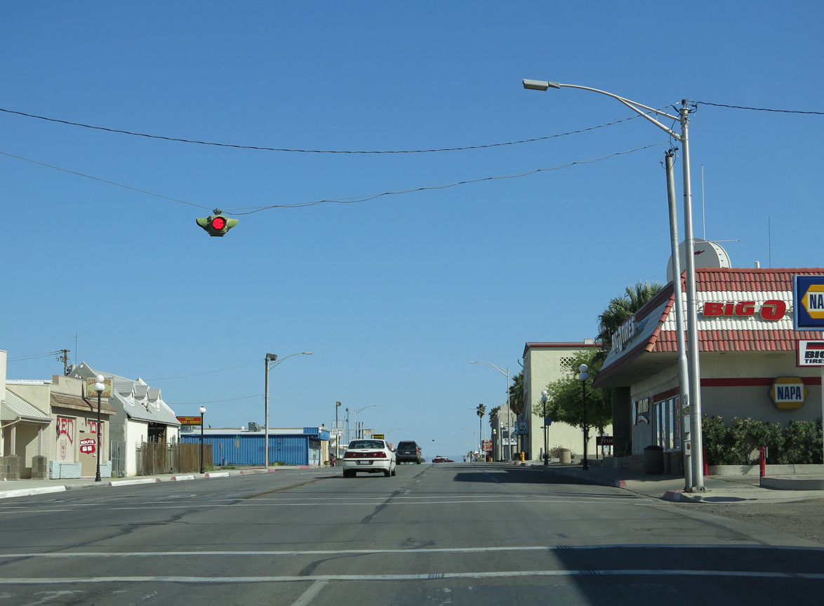
Broadway Street proceeds south to Downtown Needles from H Street.
03/24/13
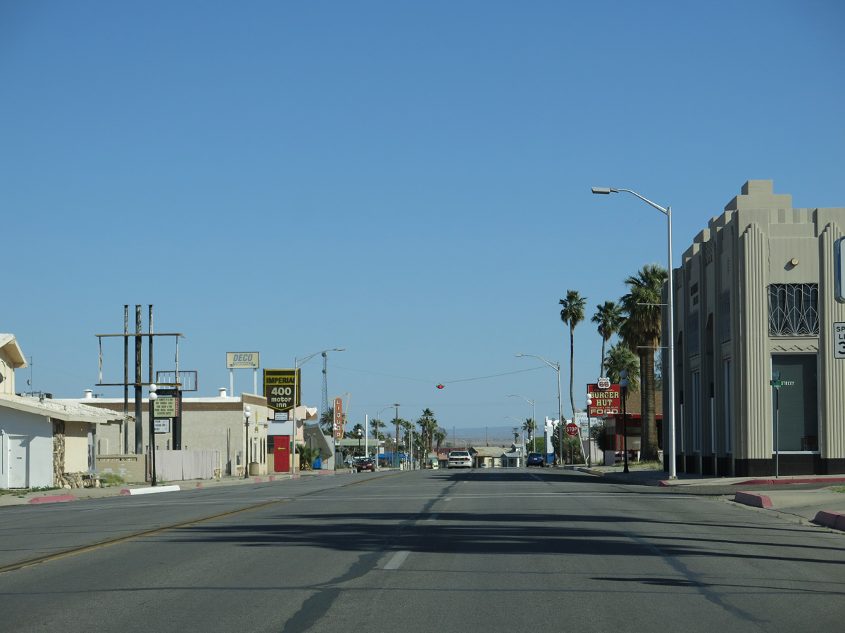
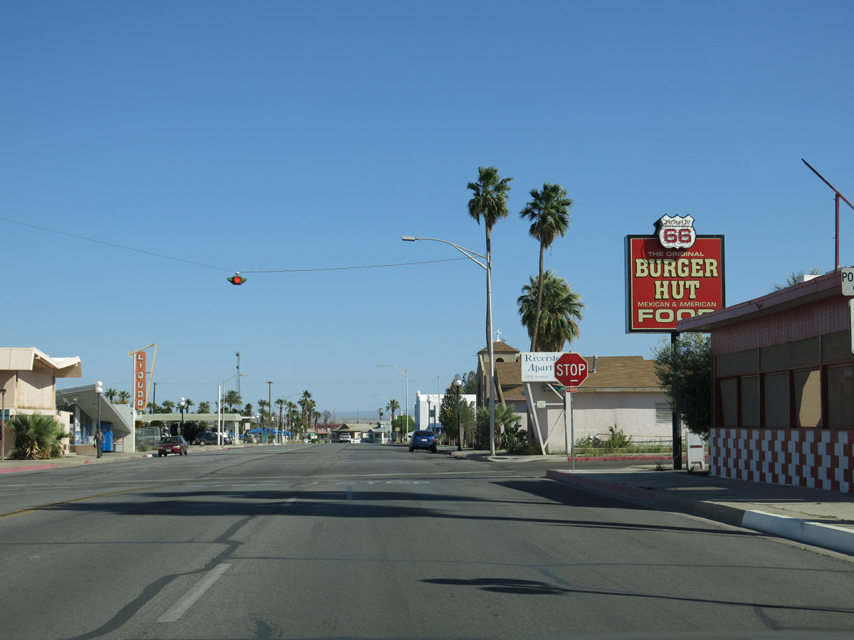
Business Loop I-40/Historic U.S. 66 (Broadway Street) east at the stop sign at G Street.
03/24/13
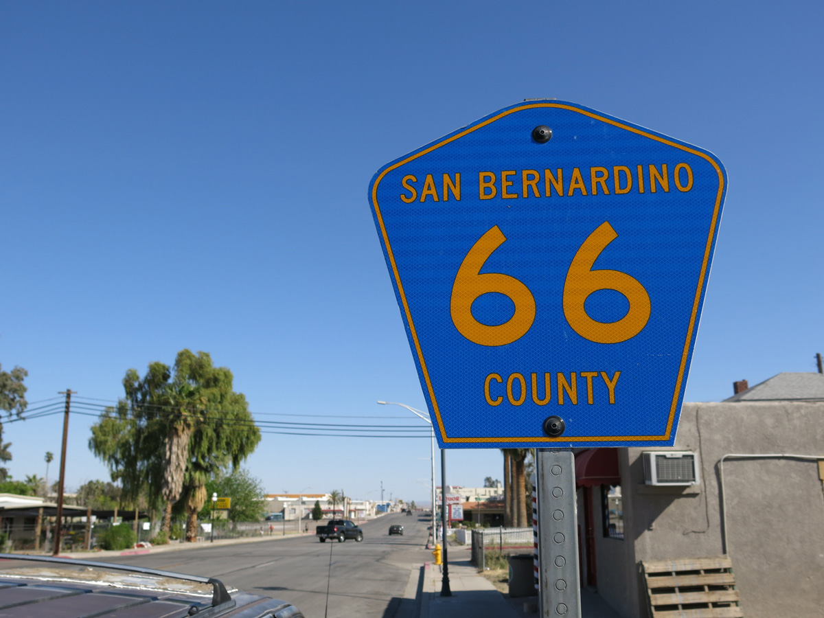
A County Route 66 reassurance marker stands along Broadway Street south ahead of F Street.
03/24/13
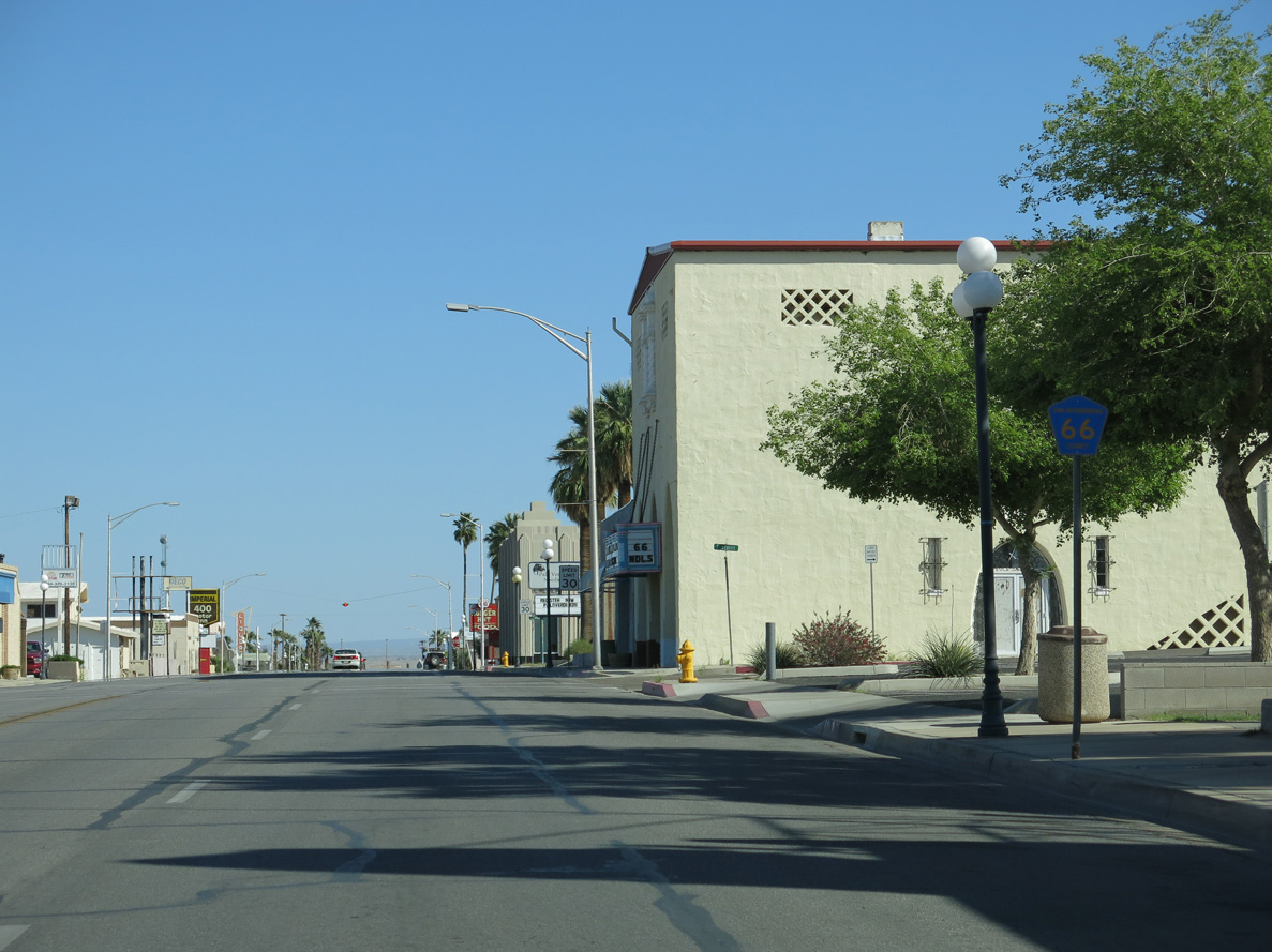
Broadway Street and E Street in Downtown Needles.
03/24/13
Broadway Street east at D Street by one of several businesses in Needles using Route 66 in its name.
03/24/13
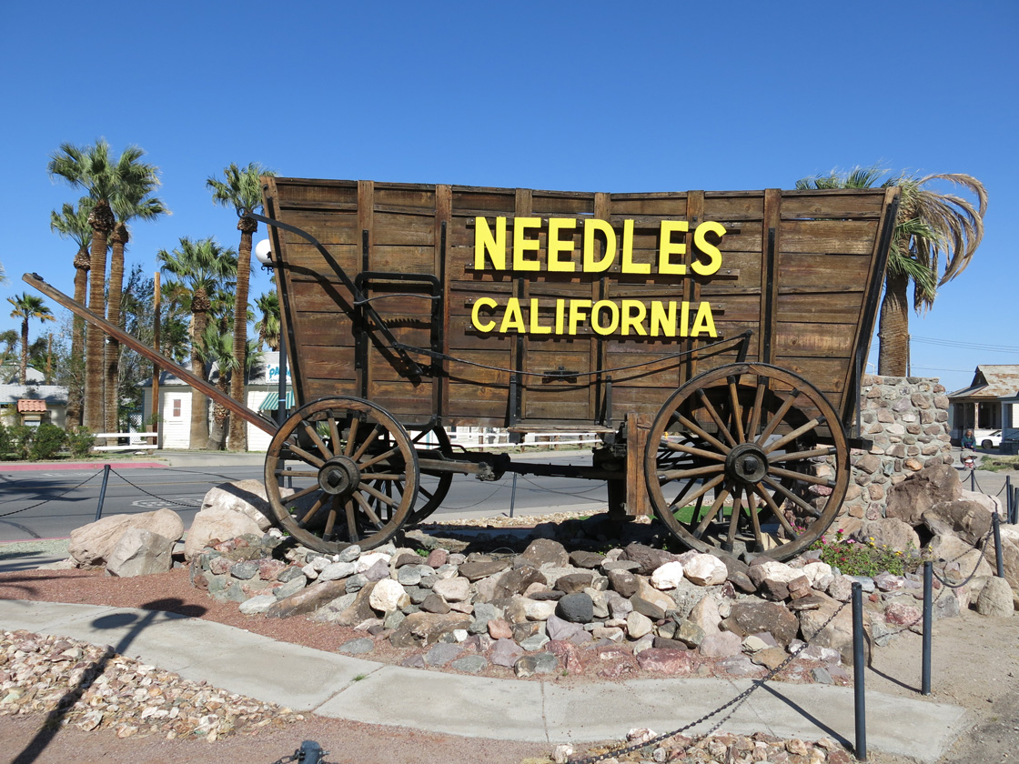
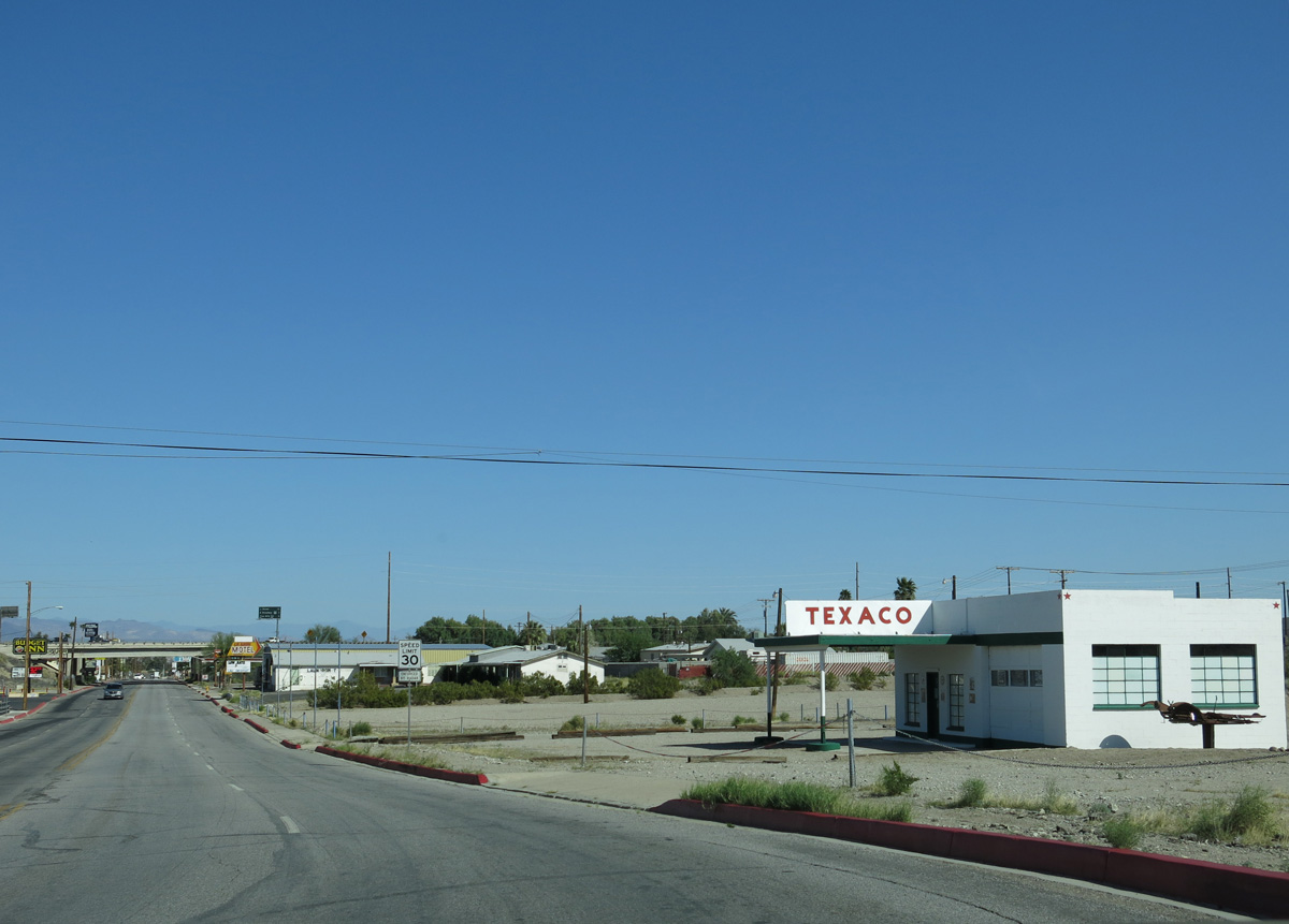
The Needles Railroad Borax Wagon at Broadway Street and A Street.
03/24/13
Broadway Street overtakes Front Street beside the BNSF Needles Rail Yard.
03/24/13
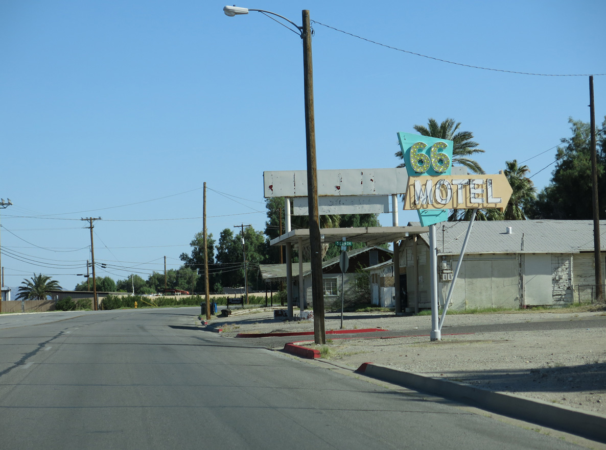
A vintage 66 Motel sign at Broadway Street and Desnok Street.
03/24/13
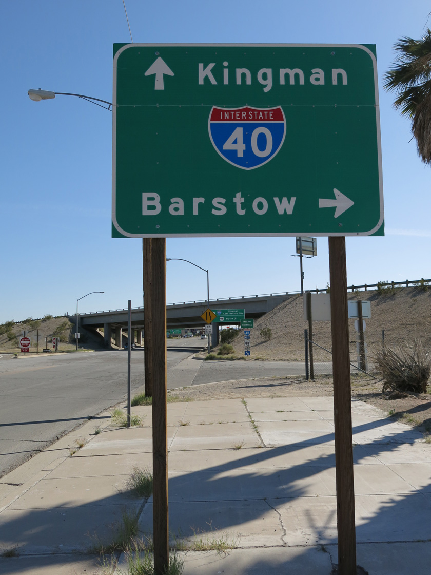
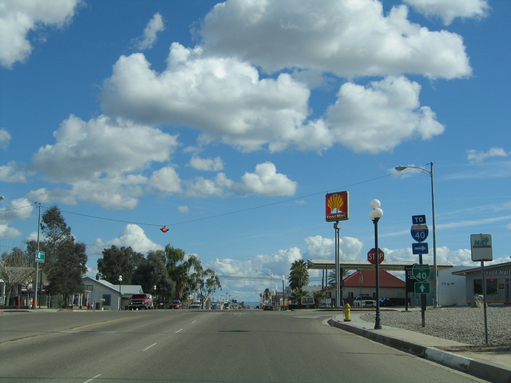
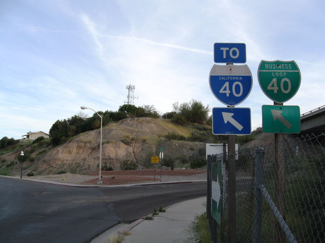
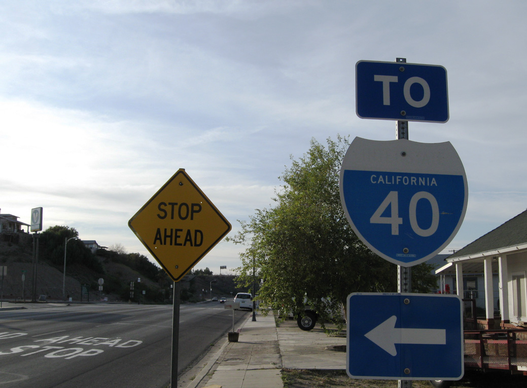
Business Loop I-40 east returns to I-40 at the south split with U.S. 95 by Needles Town Center retail plaza.
03/24/13
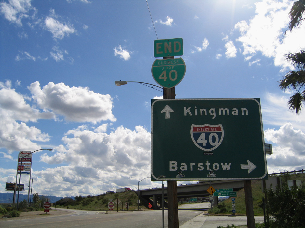
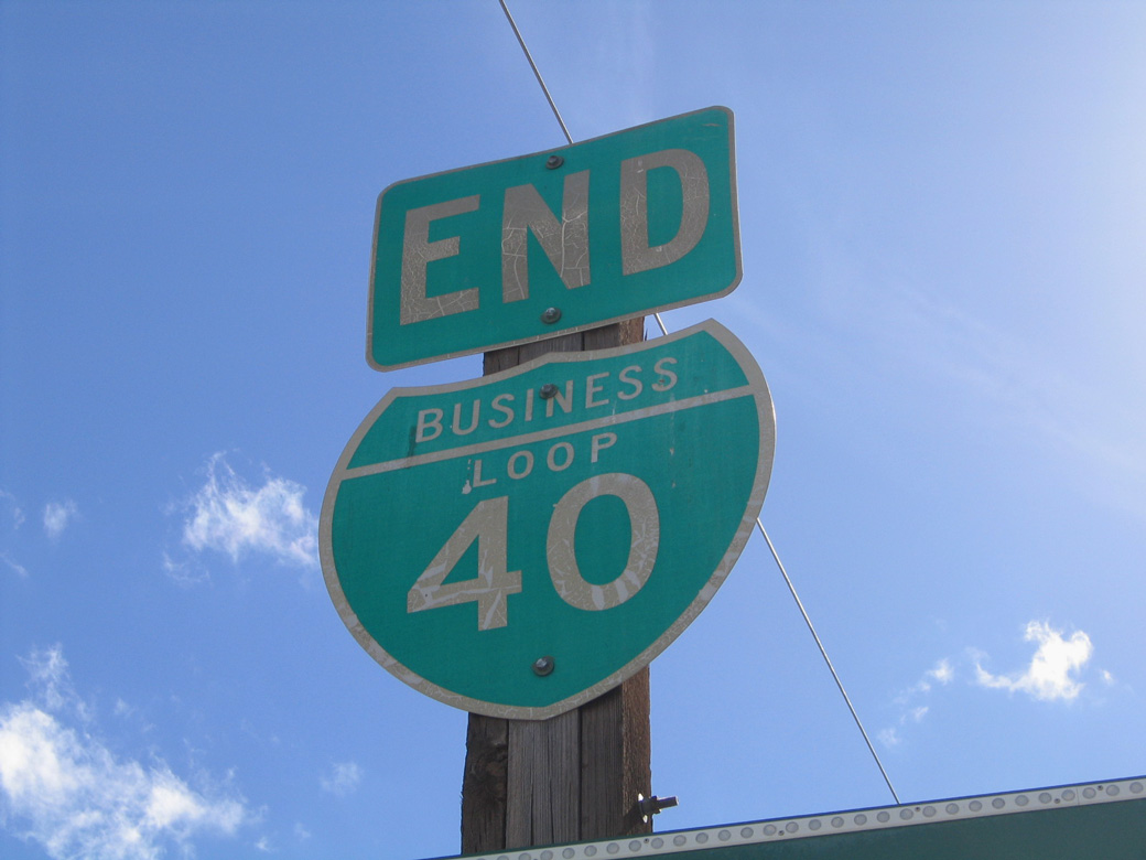
The end shield for Business Loop I-40 east at I-40/U.S. 95 was removed by 2009.
02/20/05
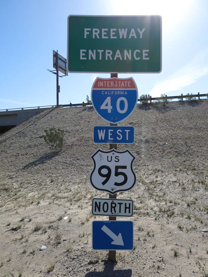
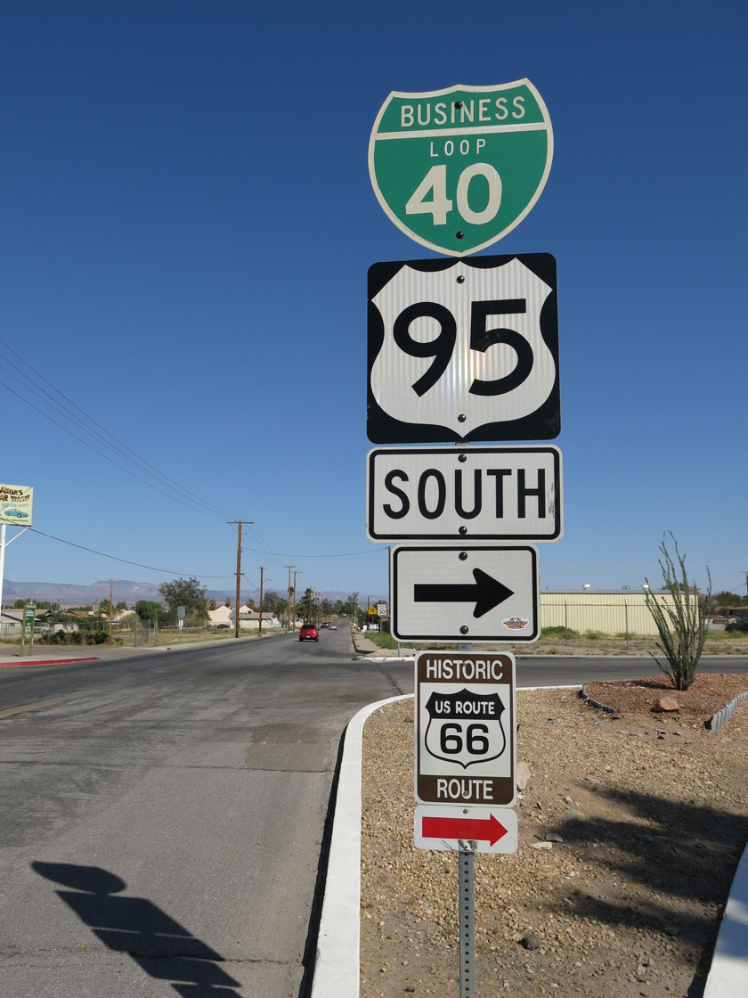
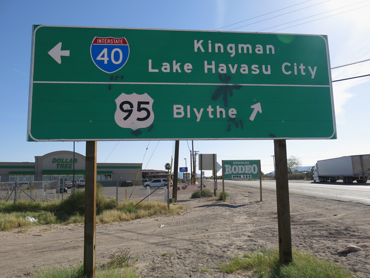
U.S. 95 overlaps with Interstate 40 for 11 miles north from Needles to west of Java.
03/24/13
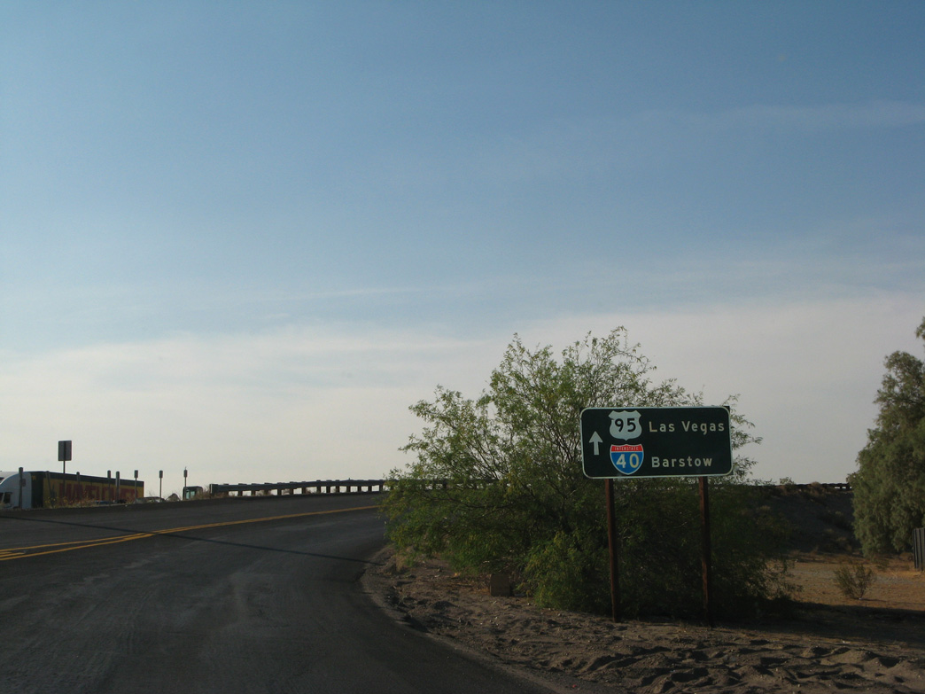
U.S. 95 branches south from Interstate 40 east to SR 62 at Vidal Junction.
03/24/13
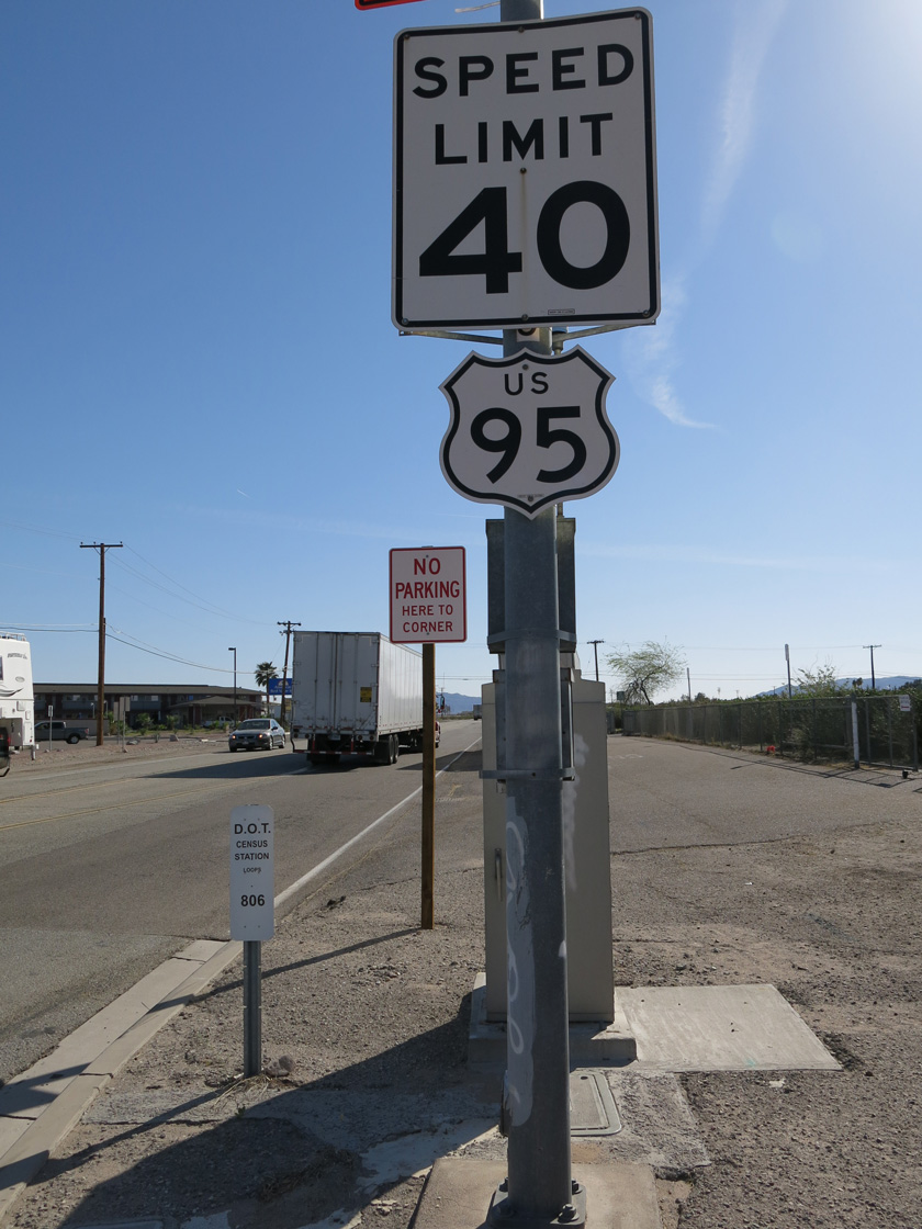
U.S. 95 travels south from Needles to Blythe, where the highway combines with Interstate 10 east to Quartzsite, Arizona.
03/24/13
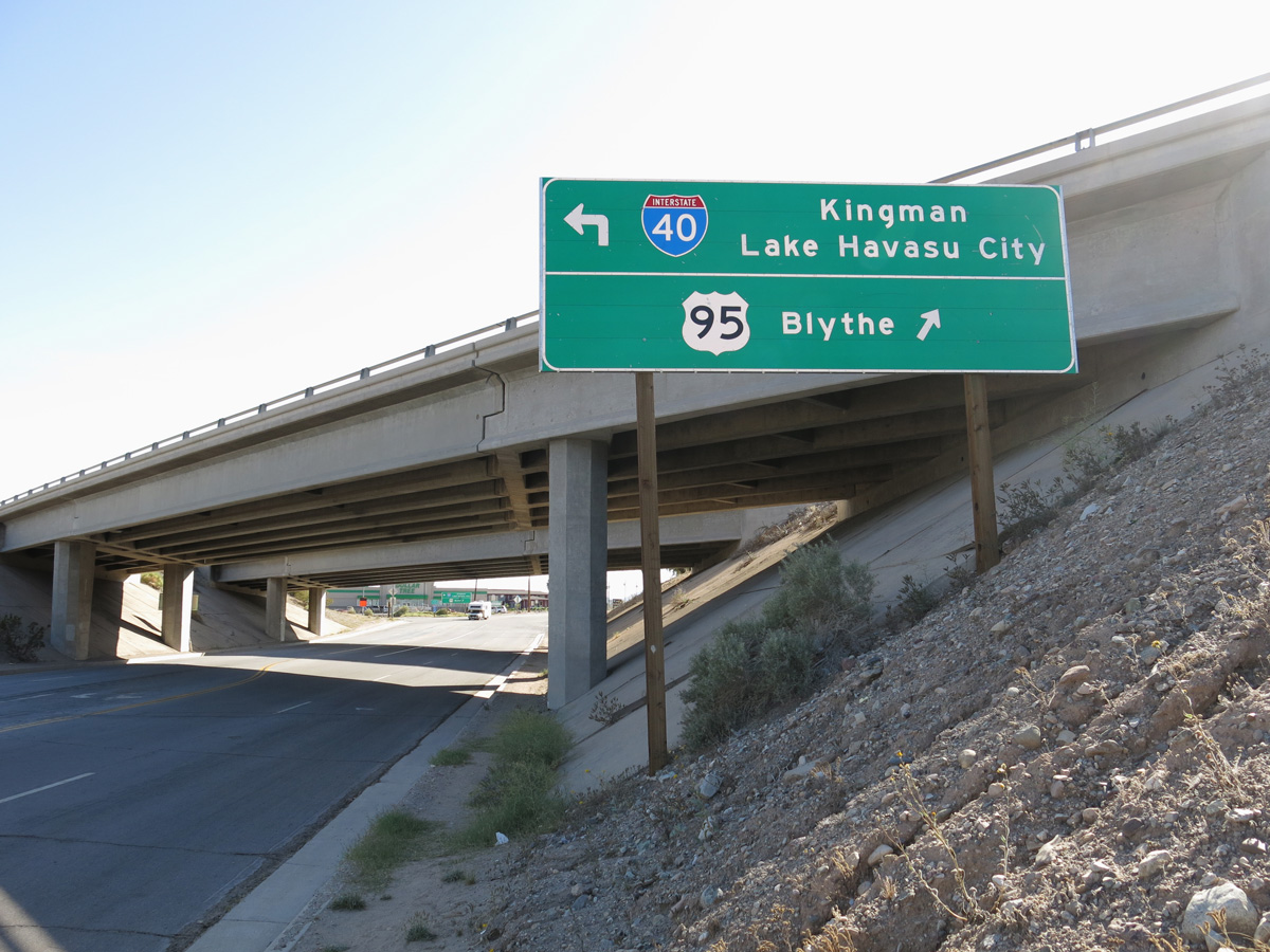
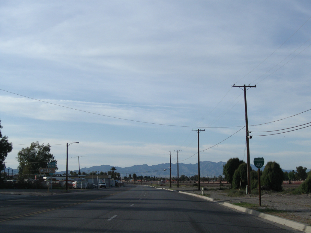
Interstate 40 arcs southeast from Needles into Arizona to circumvent the Black Mountains en route to Kingman.
03/24/13
What was the first shield for Business Loop I-40 stood along Broadway Street at Desnok Street, next to the BNSF Needles Rail Yard.
03/14/09
Business Loop I-40/CR 66 (Broadway Street) angles northwest from Front Street through Downtown Needles. J Street links Historic U.S. 66 with I-40/U.S. 95 nearby. This connection doubles as part of a route leading northeast to Arizona State Route 95.
03/14/09
The Business Loop I-40 sign posted at Broadway Street and L Street was removed by 2024.
03/14/09
Turning northwest alongside I-40/U.S. 95, Broadway Street ascends across the BNSF Railroad line.
04/01/07
A vintage motel marquee at Broadway Street north at Chestnut Street.
04/01/07
Historic U.S. 66 turns west with County Route 66 along Needles Highway.
03/24/13
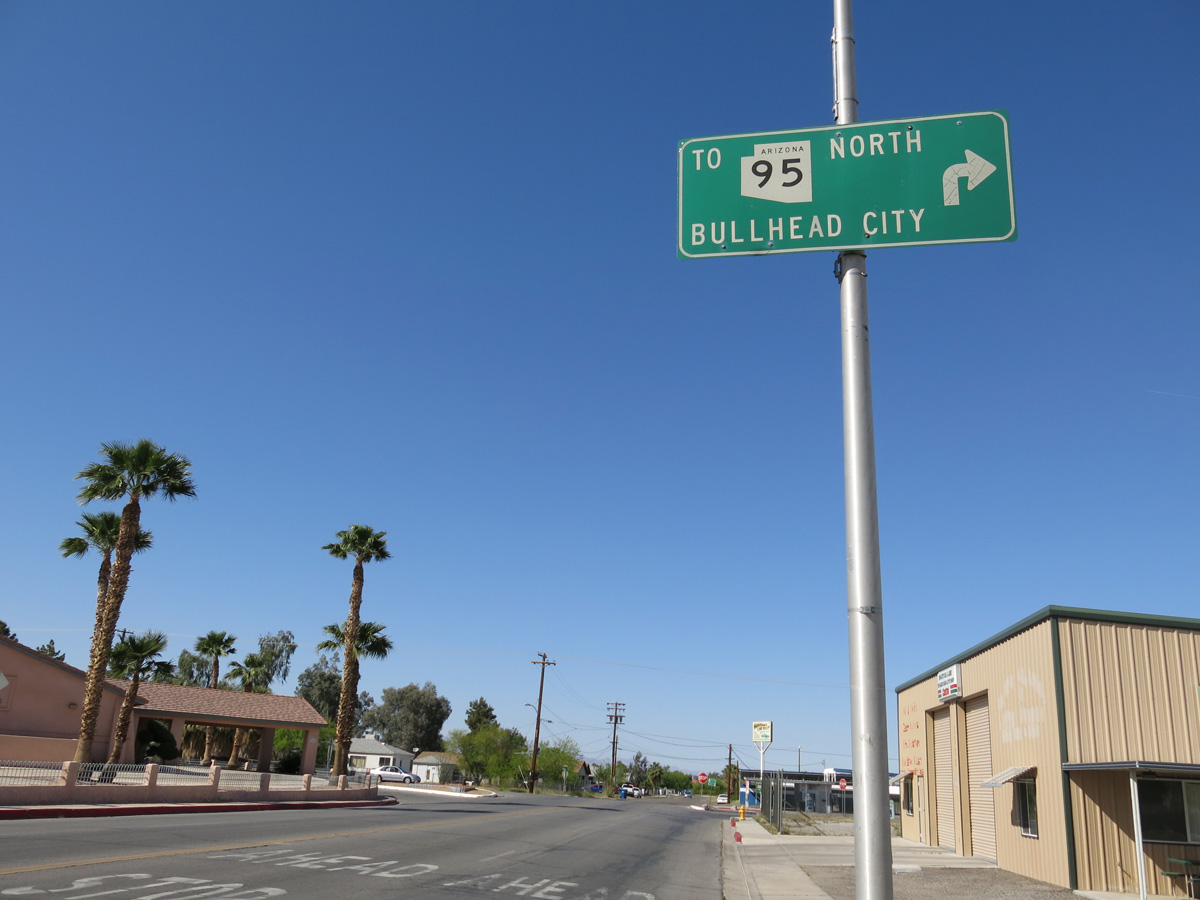
Needles Highway east to K Street north leads to the Colorado River and state line where Arizona State Route 95 commences north to Mohave Valley and Bullhead City.
03/24/13
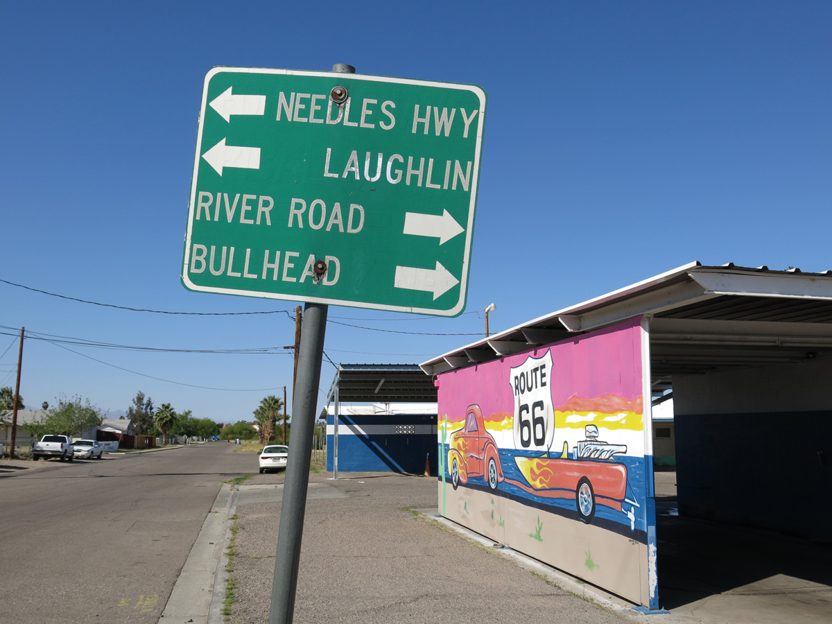
Removed when the intersection of Broadway Street and Needles Highway was upgraded with traffic lights, this small guide sign referenced Laughlin, Nevada for Arizona State Route 95 north.
03/24/13
The turn of Business Loop I-40 west onto Needles Highway is unmarked, as is the remainder of the route leading back to I-40/U.S. 95.
03/24/13
An old style U.S. 66 cutout appeared along Needles Highway between O and P Streets until 2011.
02/16/04
Needles Highway passes under I-40/U.S. 95 before turning northwest to meet the freeway at Exit 141.
02/16/04
A sign replacement for I-40 was made by 2009.
03/14/09
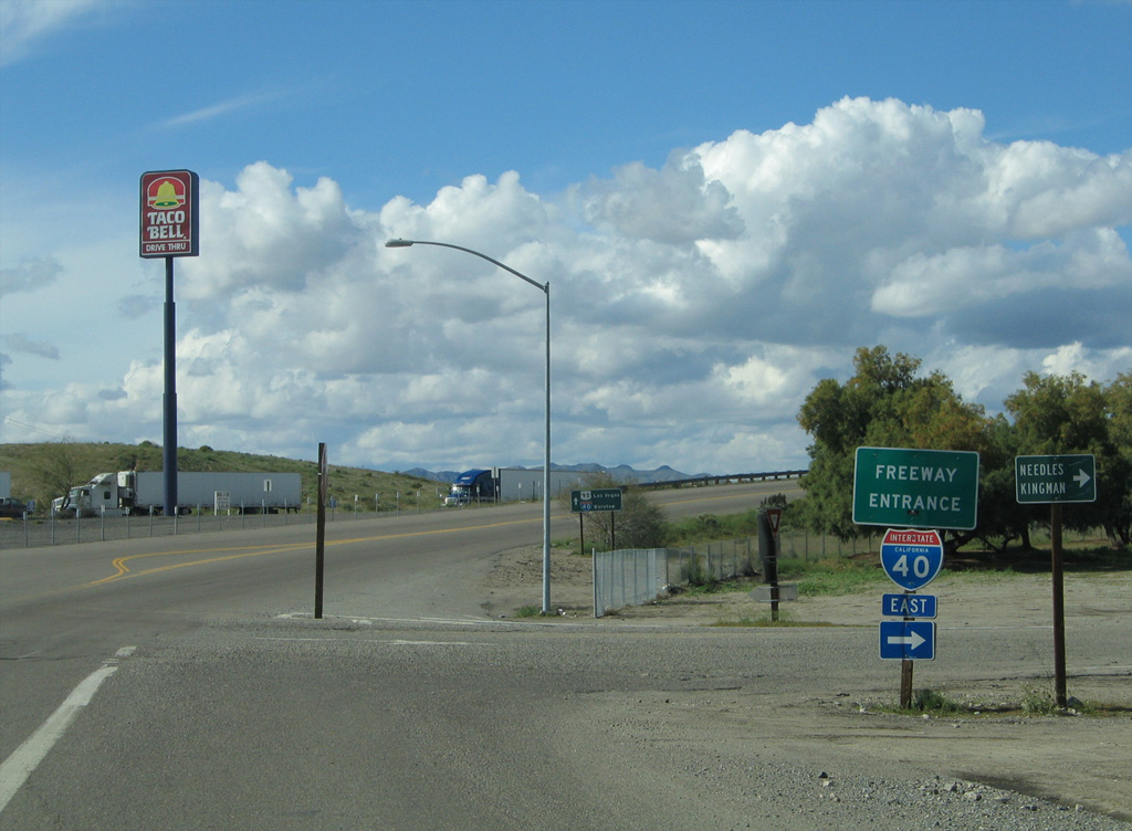
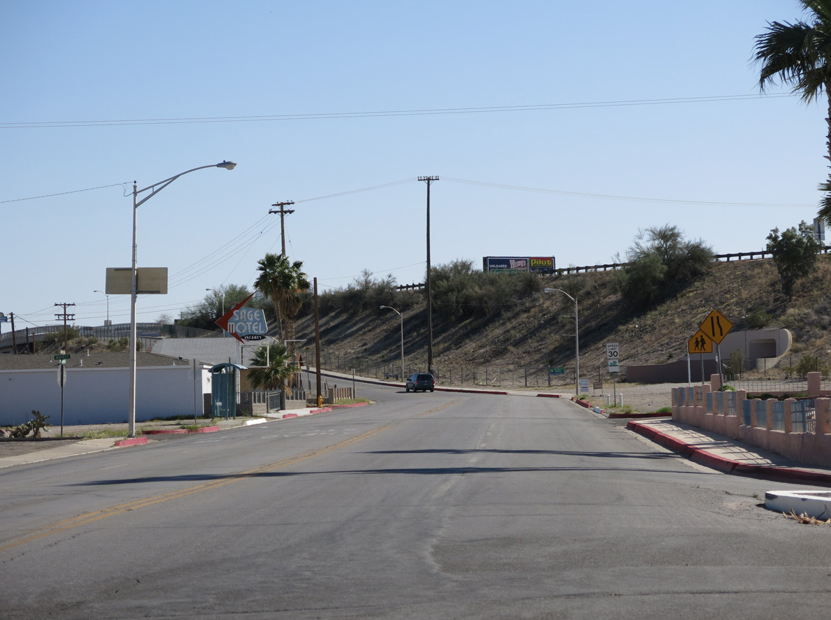
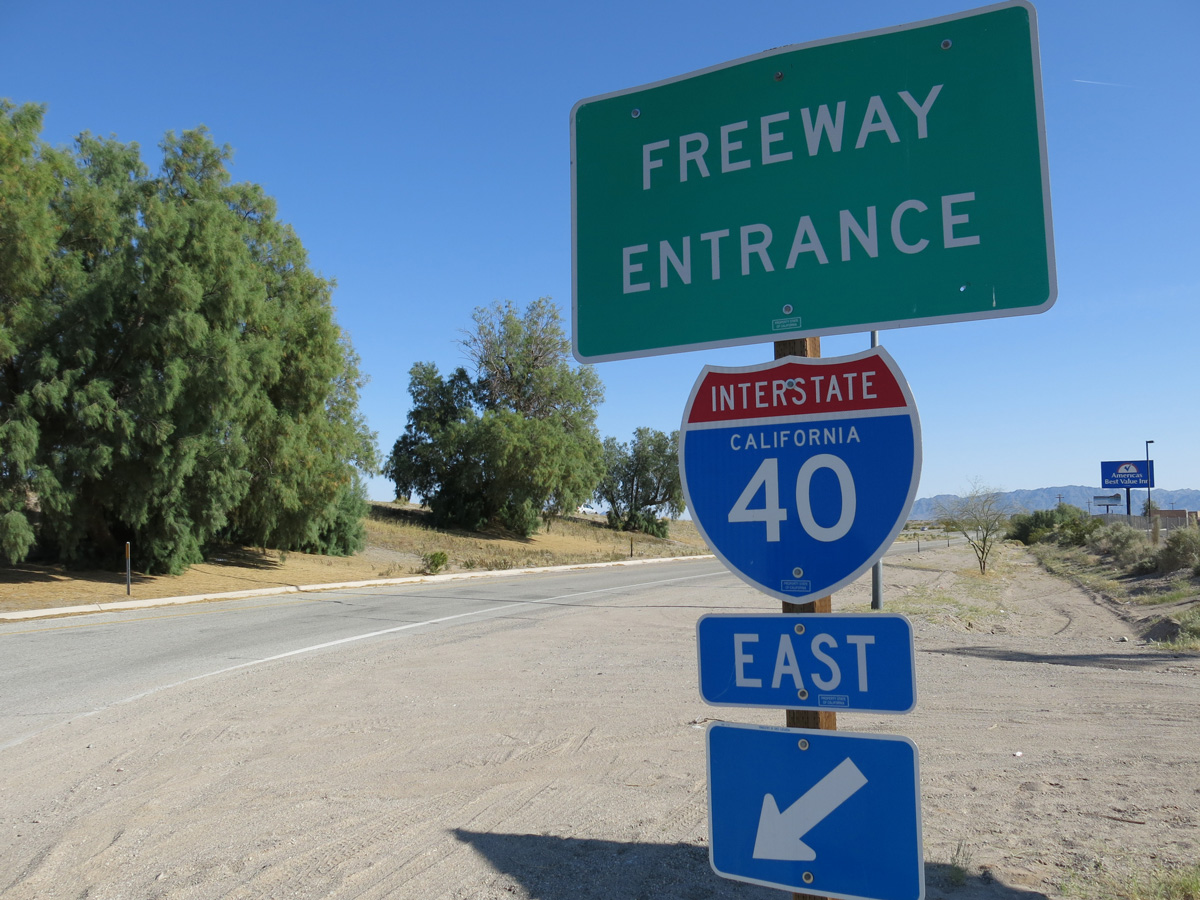
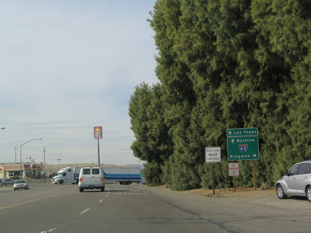
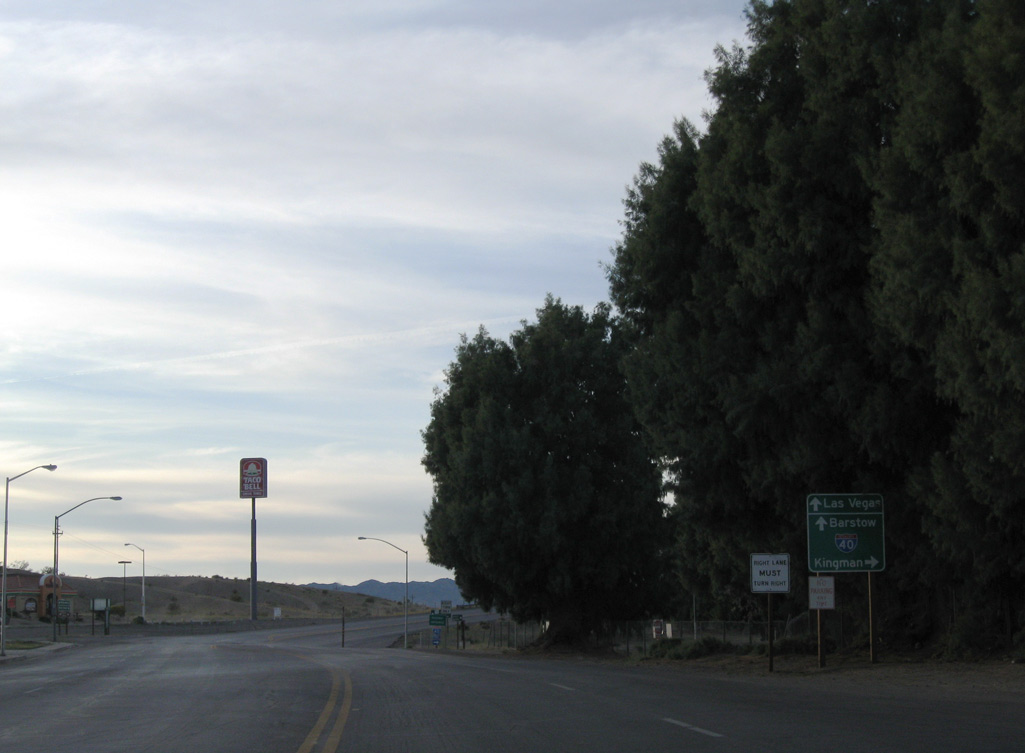
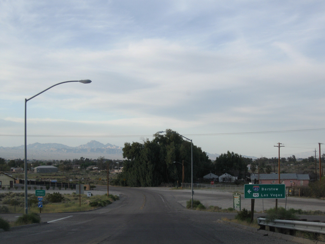
I-40/U.S. 95 head southeast 2.6 miles through Needles to Broadway Street at Exit 144.
02/20/05
Interstate 40 joins Needles and Southern California with Flagstaff, Arizona.
02/20/05
U.S. 95 extends north from I-40 through Piute Valley to Searchlight and Las Vegas, Nevada.
04/01/07
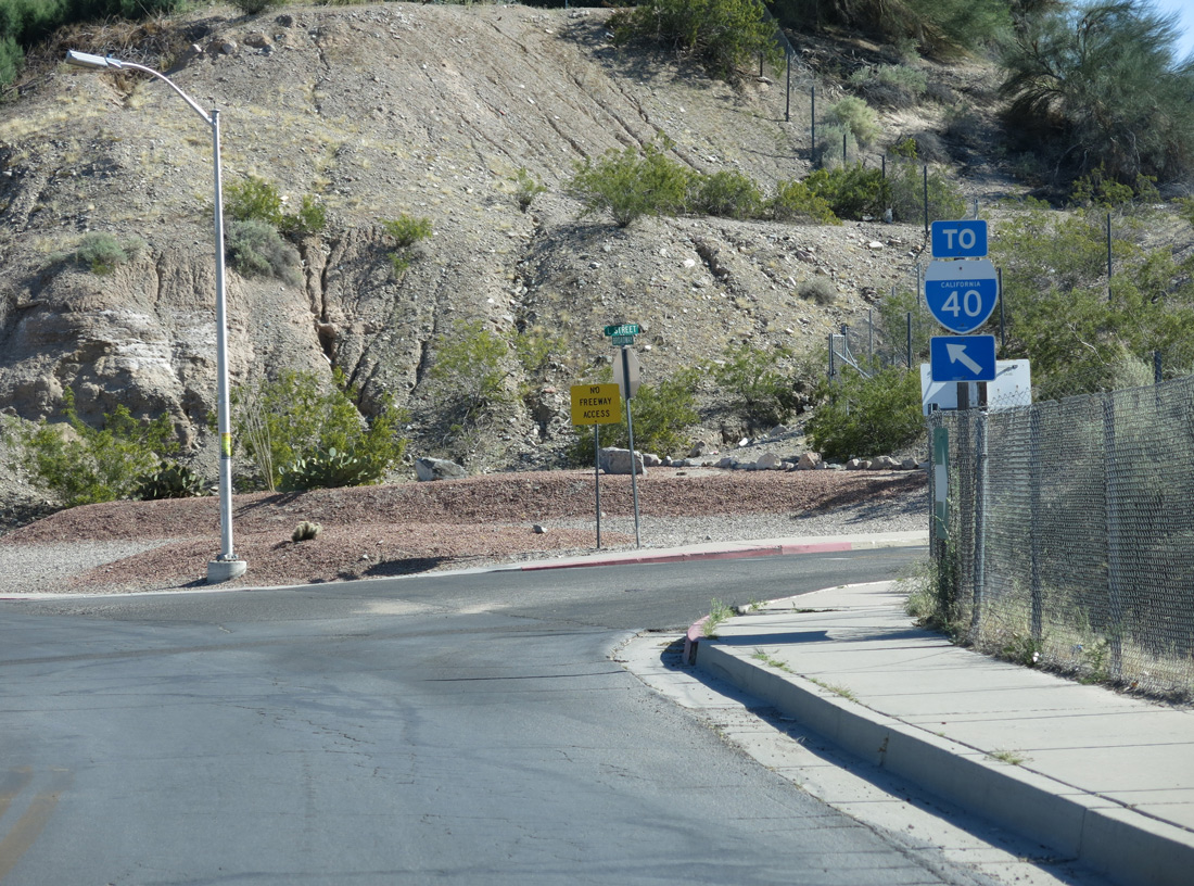
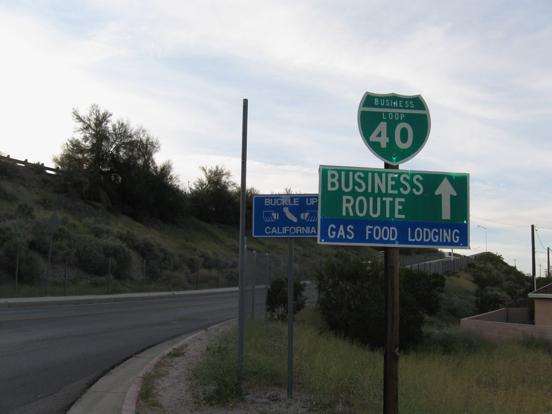
Business Loop I-40 west ends at the entrance ramp for I-40 to Barstow. Historic U.S. 66 remains north on Needles Highway to where County Route 66 branches west to W Park Road.
03/14/09
Photo Credits:
- Andy Field: 02/16/04, 04/01/07, 03/24/13
- Alex Nitzman: 02/20/05, 02/22/05
- Andy Field / Jake Bear: 03/14/09
- Andy Field / Jake bear: 03/14/09
Connect with:
Page Updated Tuesday August 05, 2025.