
Interstate 55 North - Laplace to Hammond

 North
North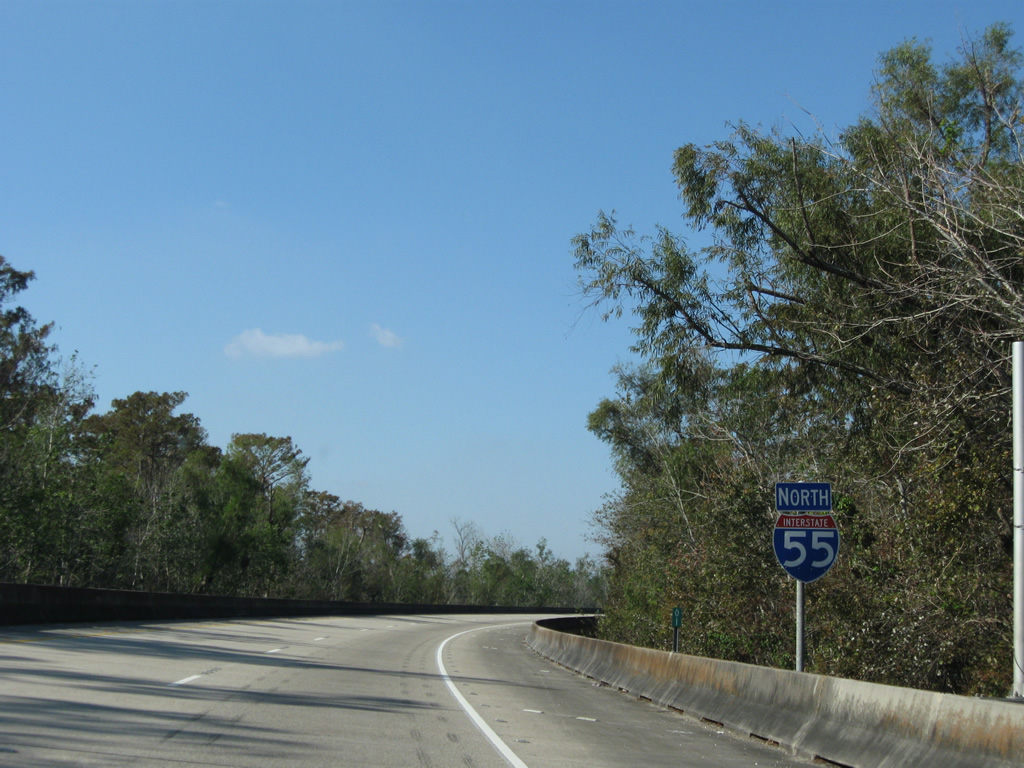
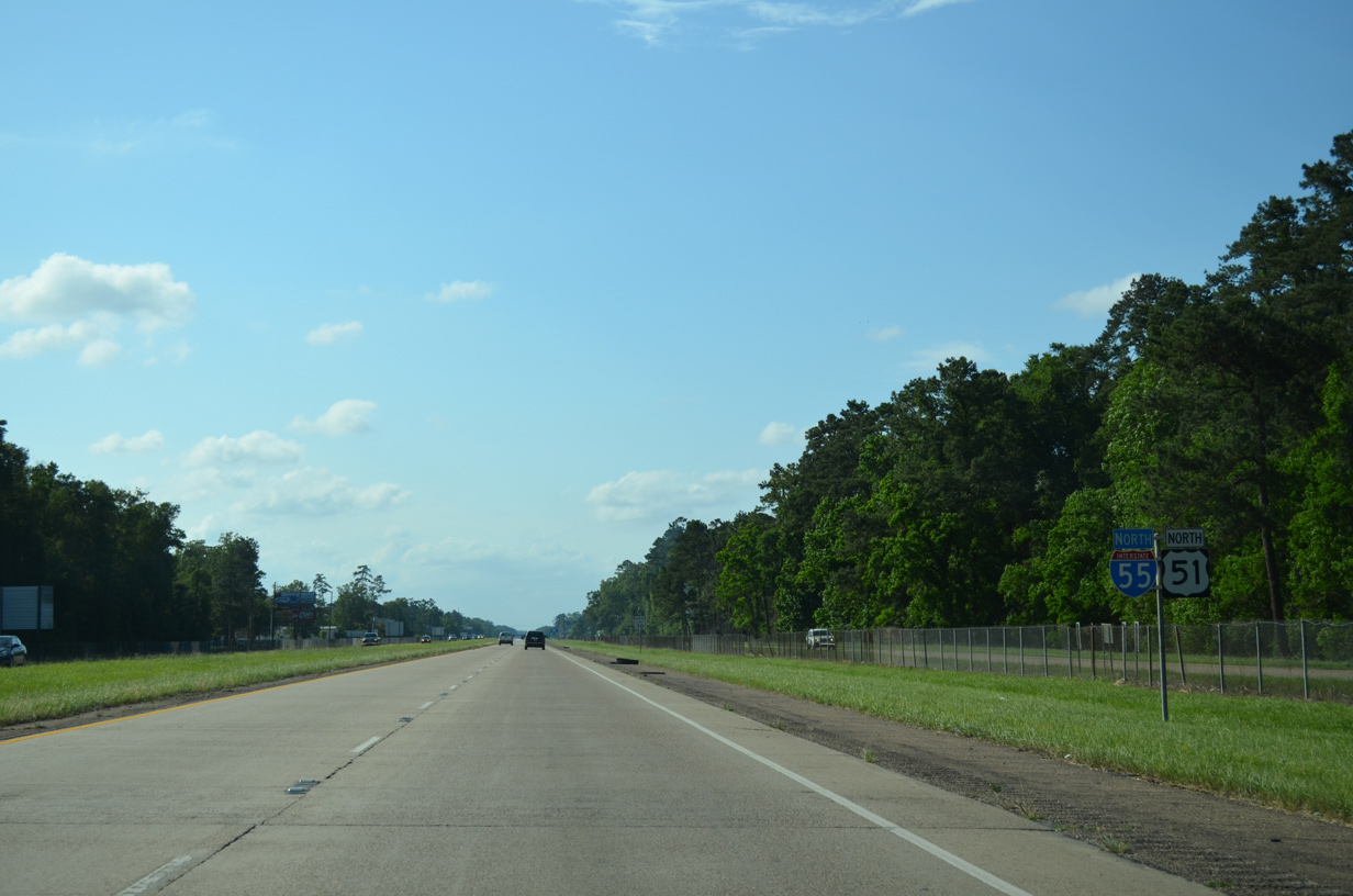
The first northbound shield for Interstate 55 appears along the elevated ramp from I-10 west.
11/20/08
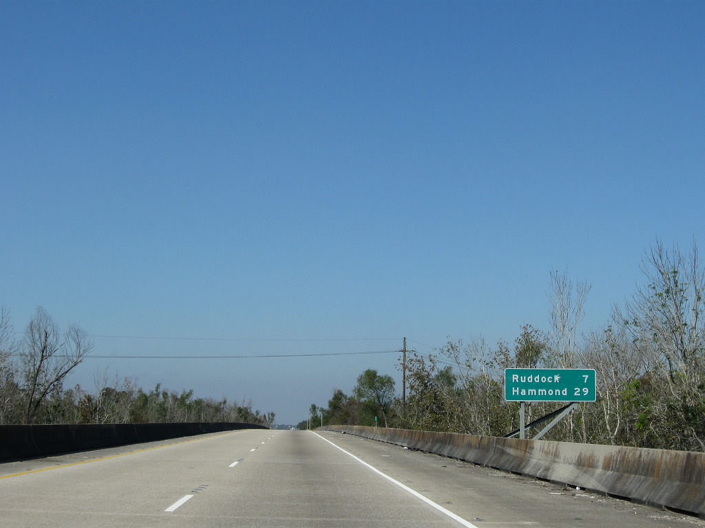
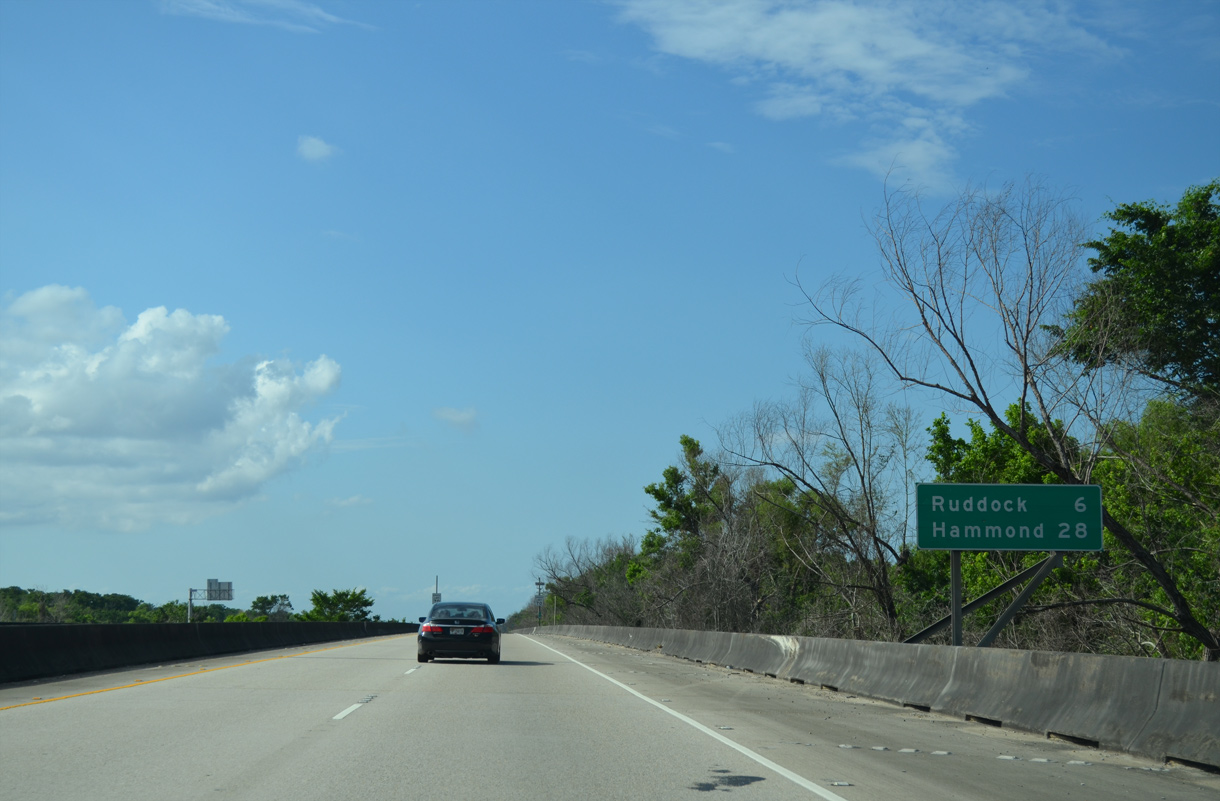
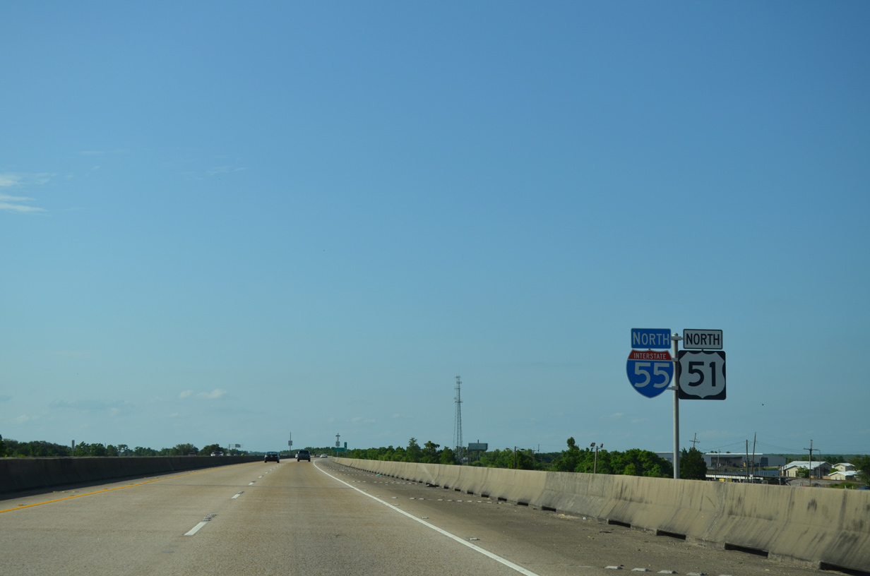
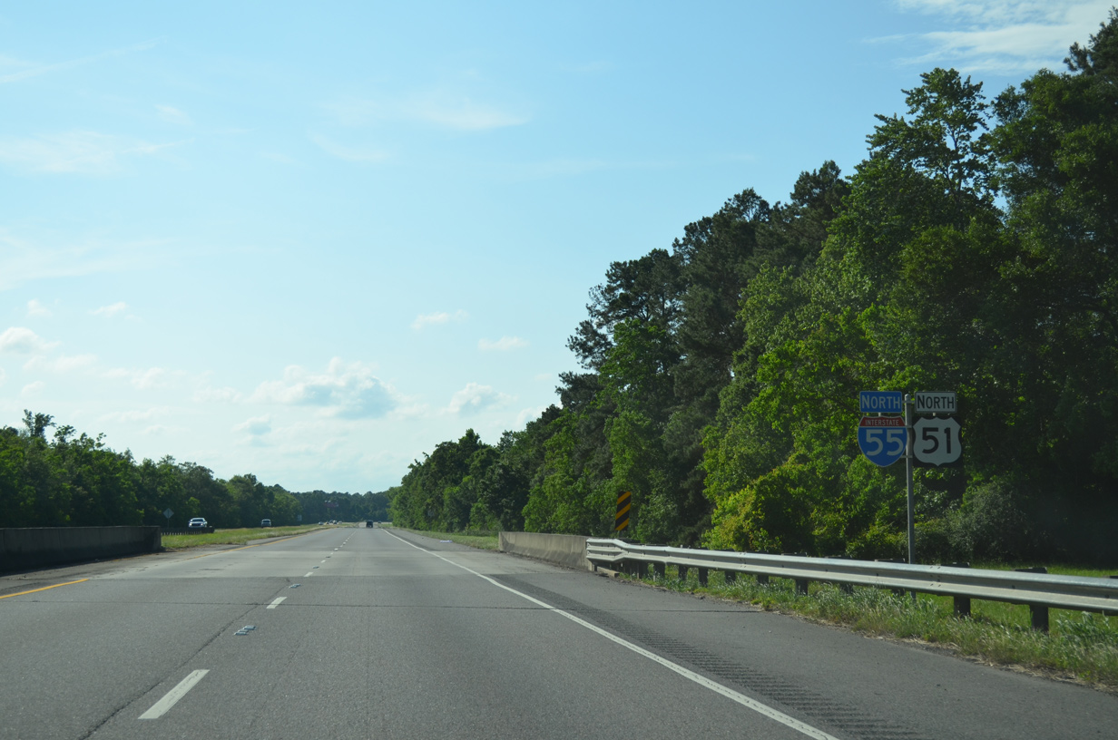
I-55/U.S. 51 travel seven miles north to Ruddock and 29 miles to Hammond.
11/20/08
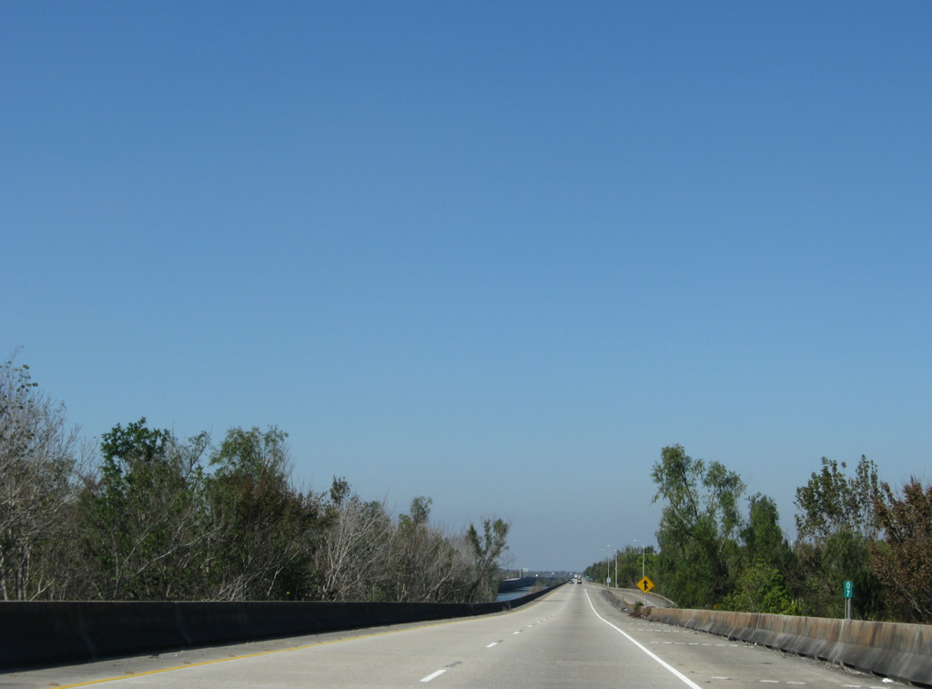
U.S. 51 northbound joins the viaduct along I-55 north from a half diamond interchange (Exit 1) at Frenier Road.
11/20/08
 North
North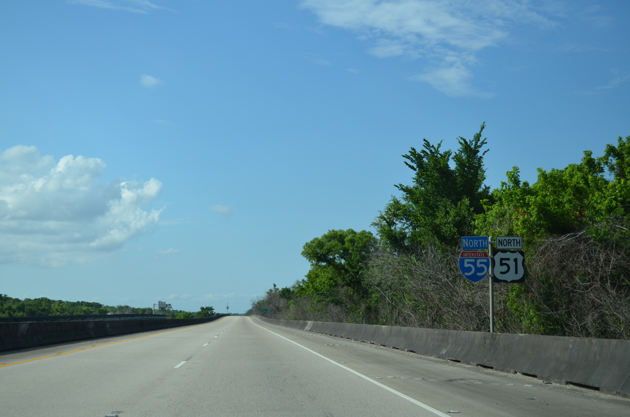
U.S. 51 and Interstate 55 overlap for 27.75 miles, most of which is elevated over bayous along Lakes Maurepas and Pontchartrain.
05/09/15
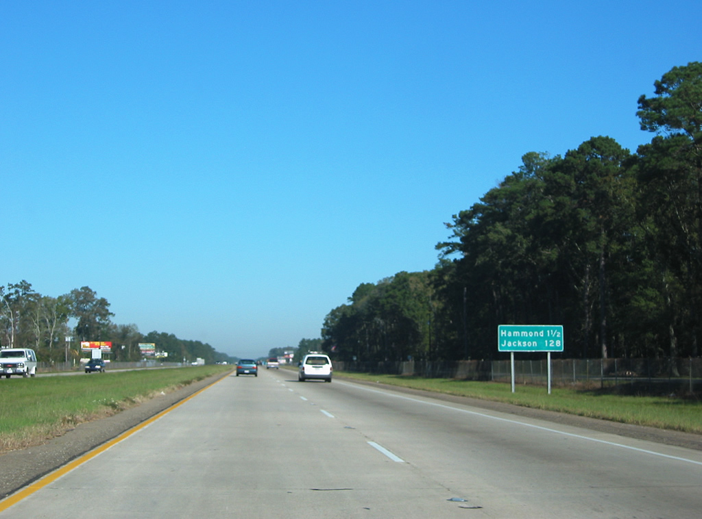
I-55/U.S. 51 north reach the city of Hammond in 28 miles.
05/09/15
A canal parallels the southbound lanes of I-55/U.S. 51 from Exit 1 north to Pass Manchac.
05/09/15
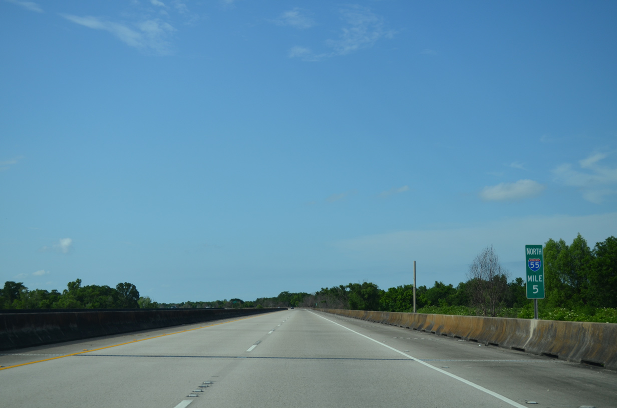
Interstate 55 shifts course four times over the stretch leading toward Ruddock.
05/09/15
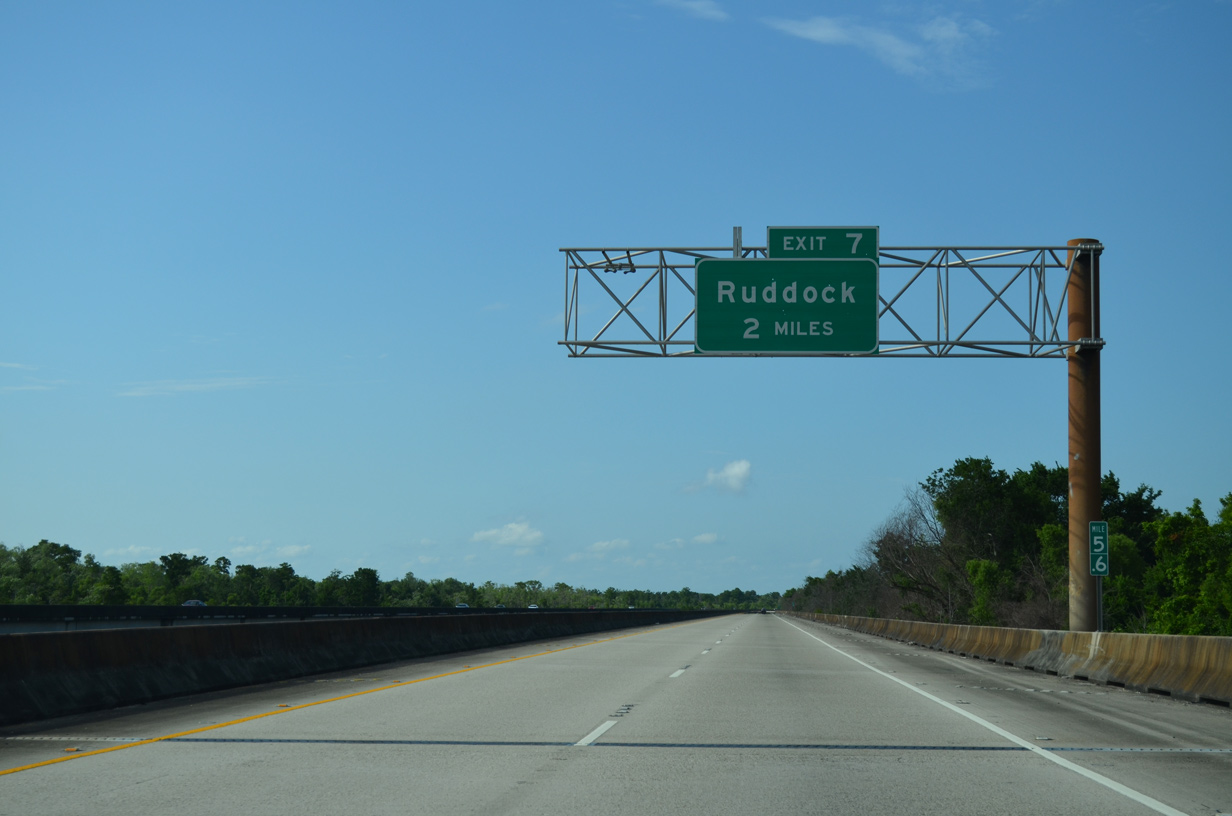
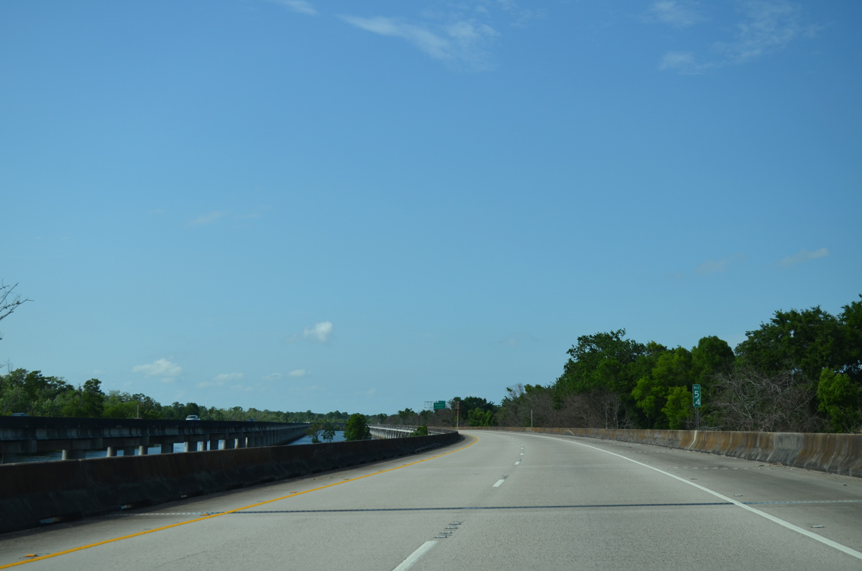
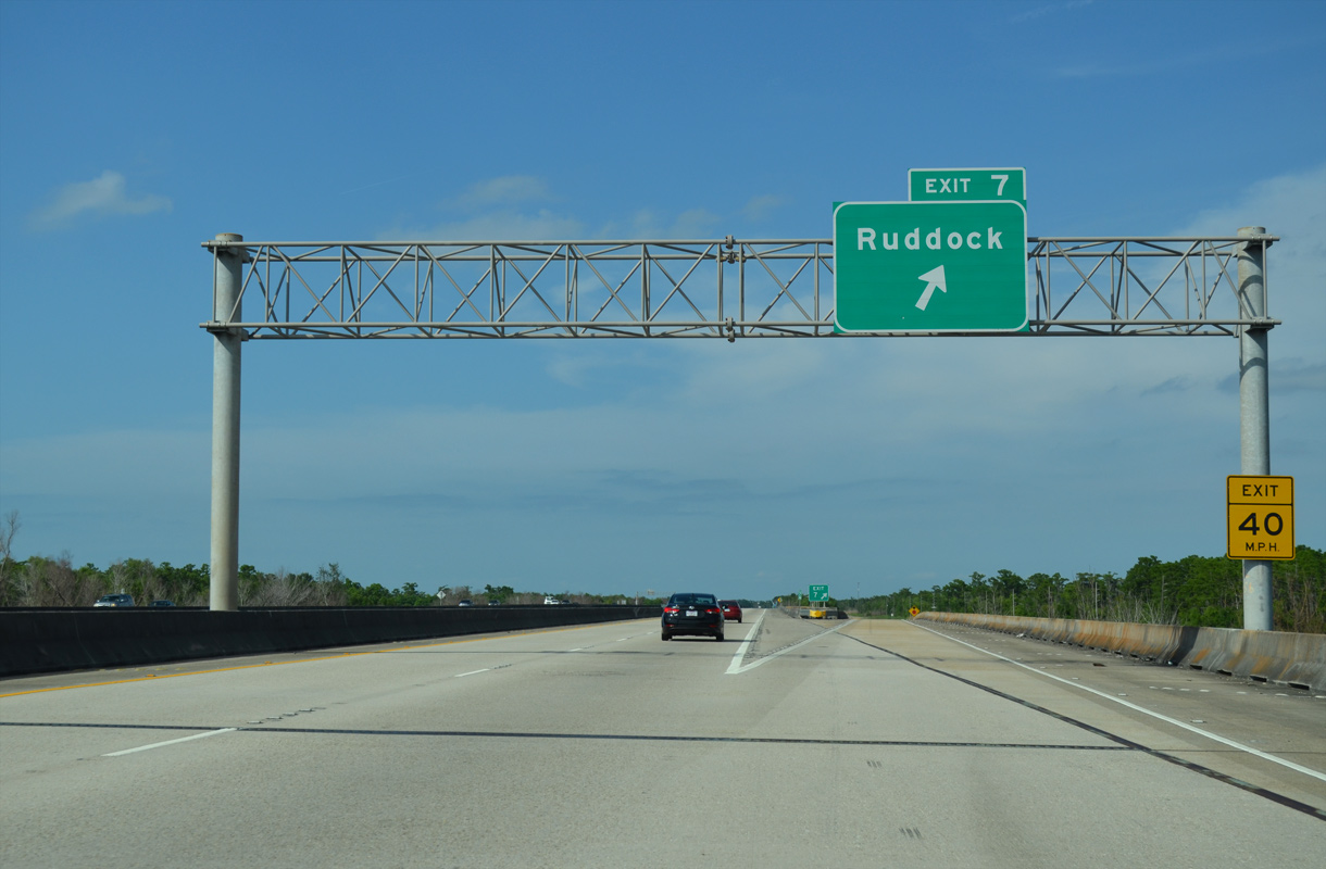
I-55/U.S. 51 advance two miles north to the diamond interchange (Exit 7) at Ruddock.
05/09/15
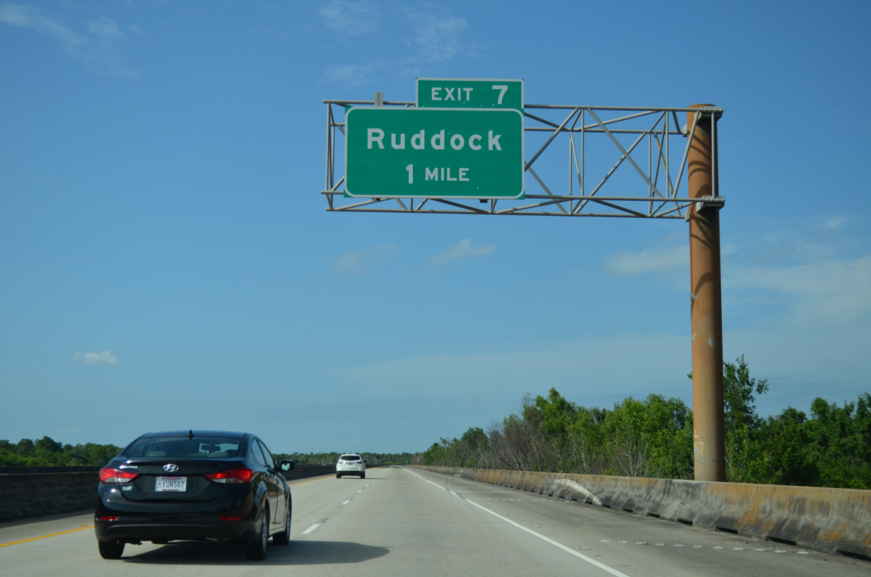
Forthcoming Ruddock was a town of 700 in 1910 based upon a sawmill and the Ruddock Cypress Company. A hurricane destroyed the community in 1915.1
05/09/15
Old U.S. 51 remains along the east side of Interstate 55 through Ruddock. A short access road connects the freeway viaduct with adjacent roadway.
05/09/15
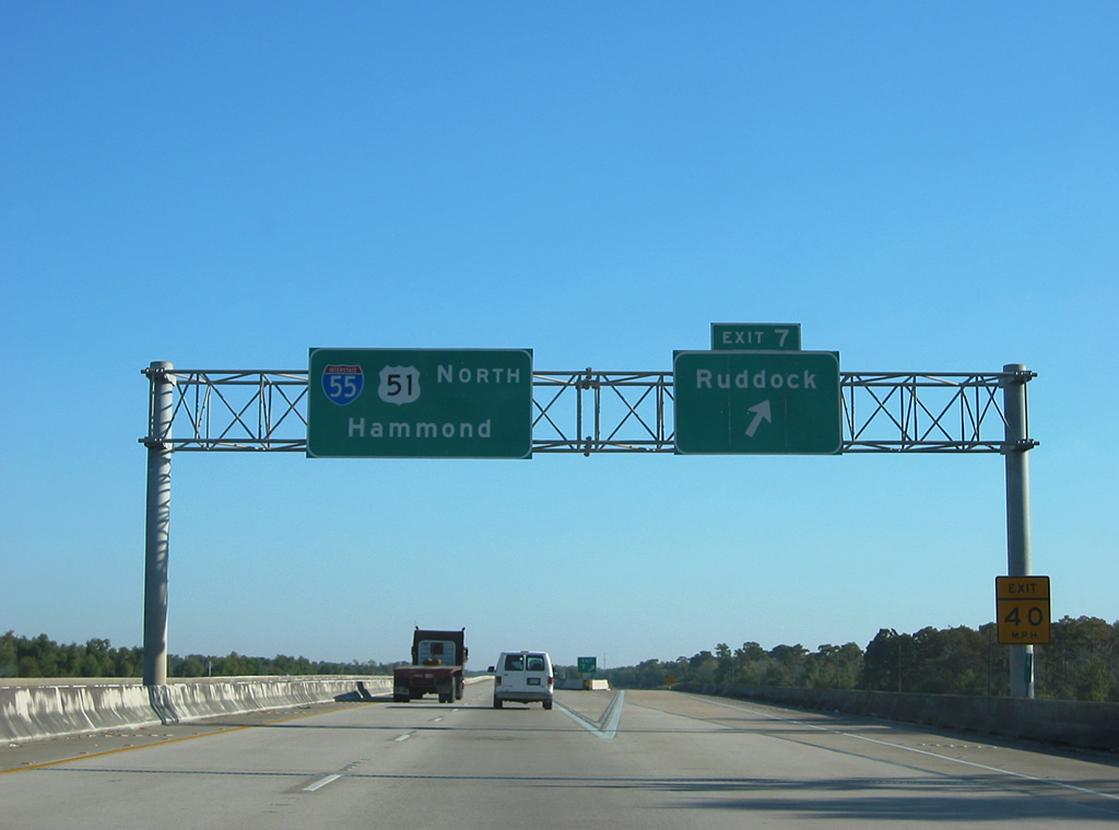
Prior to a sign replacement project later in 2003, the sign bridge at Exit 7 / Ruddock included a pull-through panel for I-55/U.S. 51 north.
10/24/03
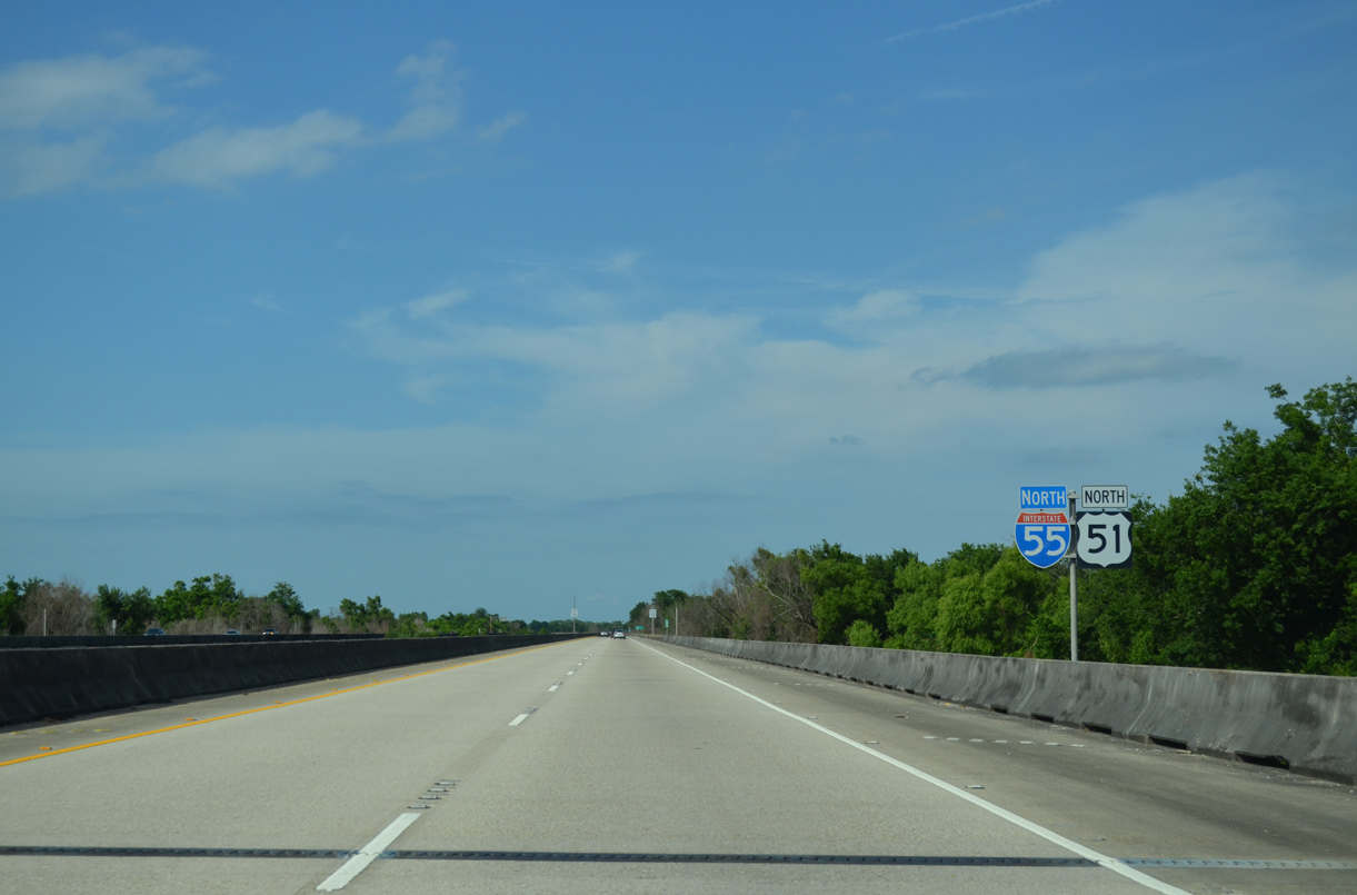
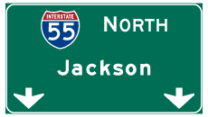
Confirming markers posted north at Ruddock. U.S. 51 remains next to or with I-55 northward through Jackson, Mississippi and Memphis, Tennessee.
05/09/15
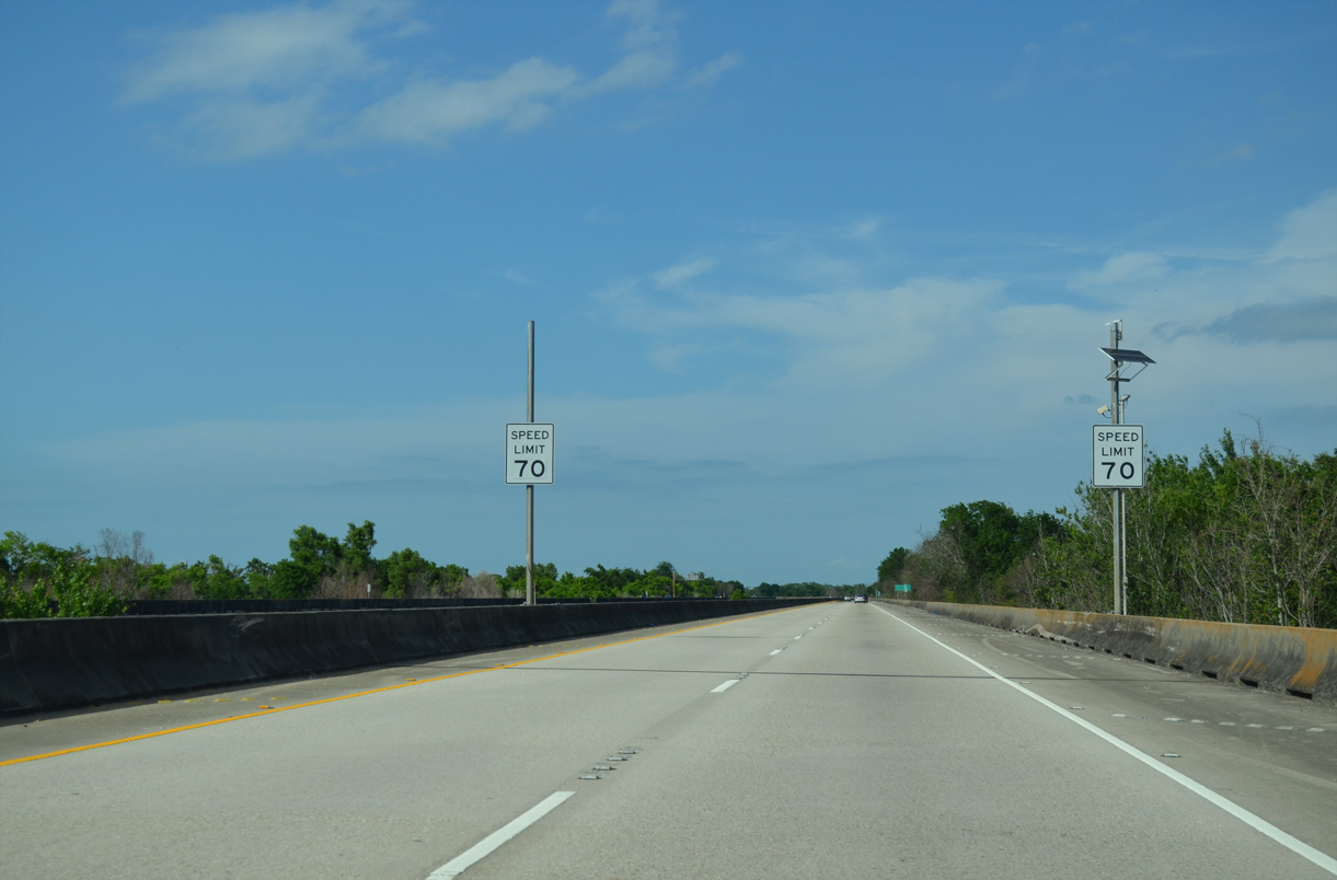
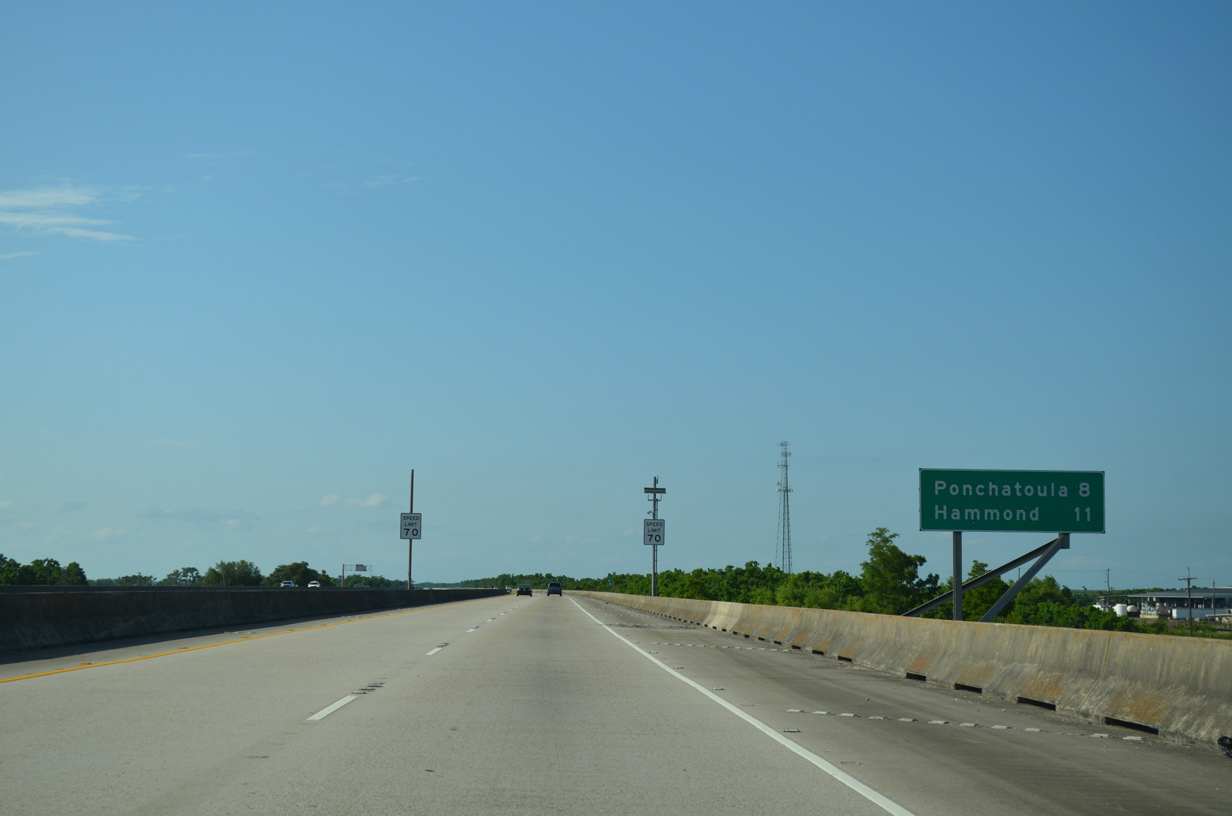
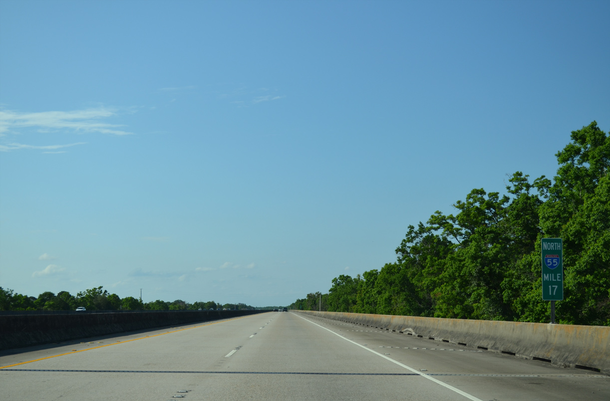
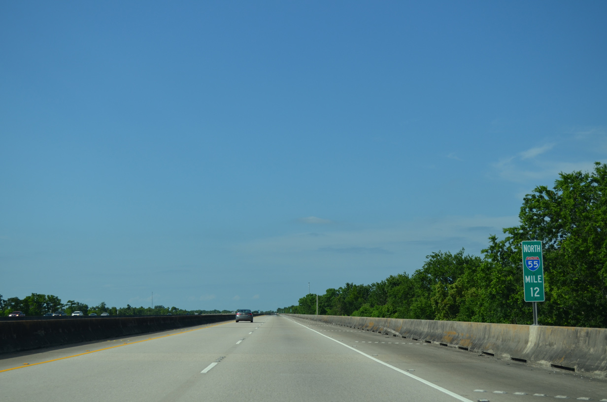
The speed limit along Interstate 55 north to Ponchatoula is 70 miles per hour.
05/09/15
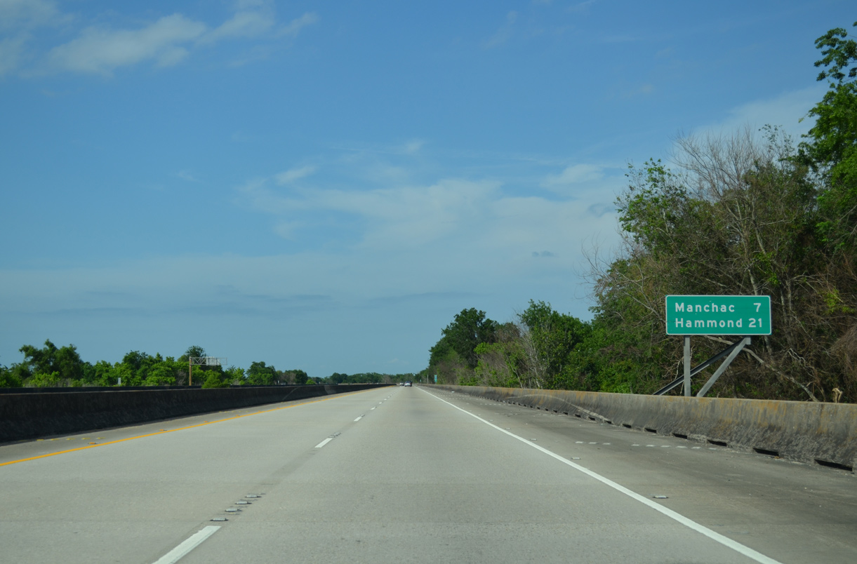
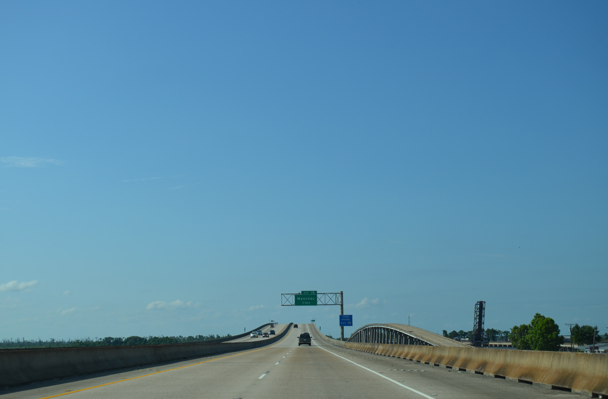
Manchac, located seven miles north at Pass Manchac, is the next northbound exit. Hammond is 21 miles away.
05/09/15
I-55/U.S. 51 bend slightly more to the north from Bayou Black to CN Railroad siding of Galva.
05/09/15
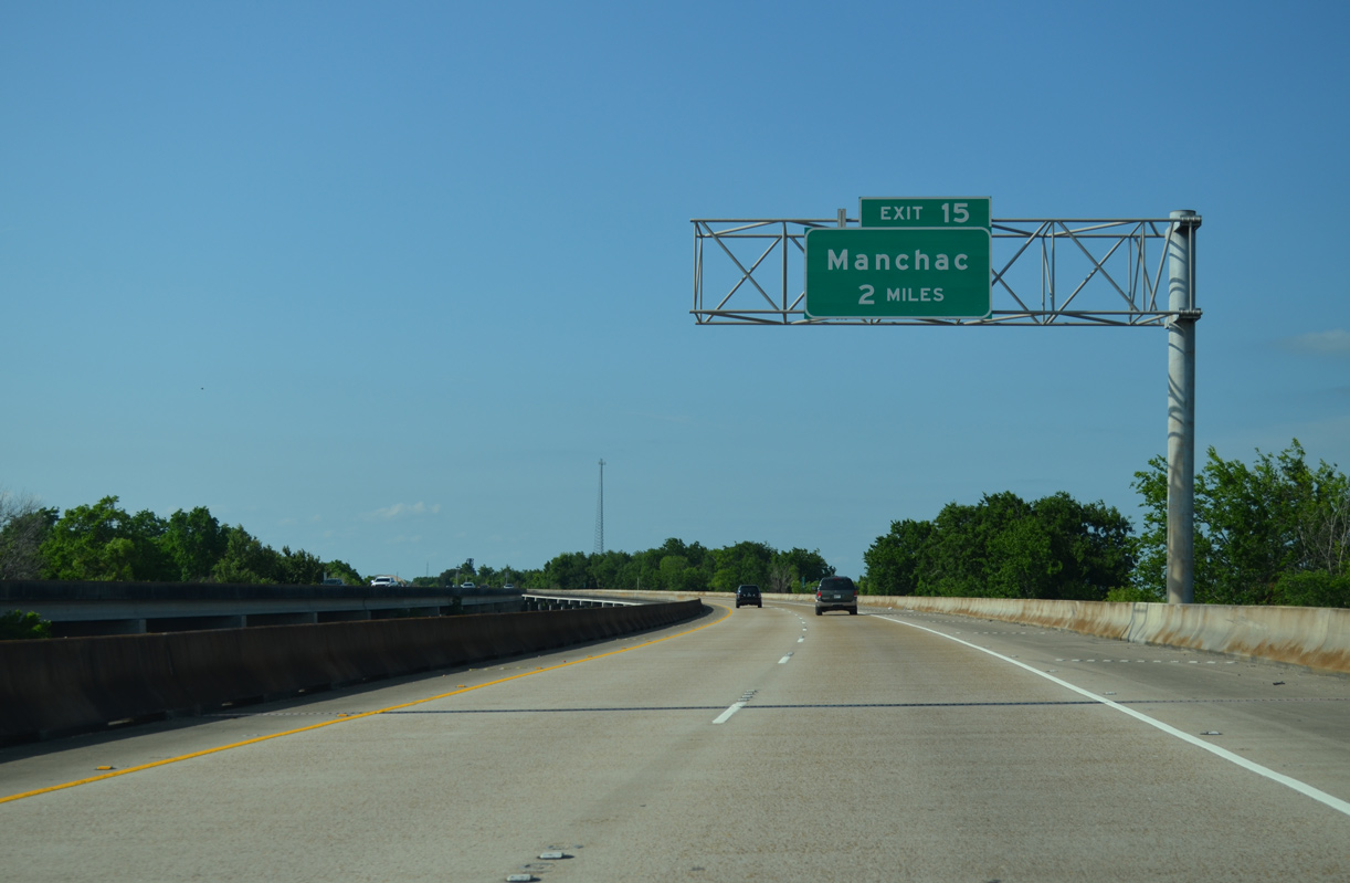
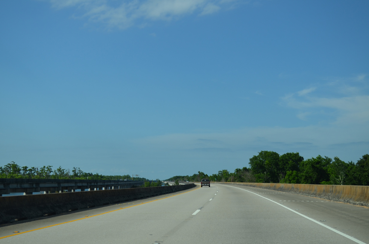
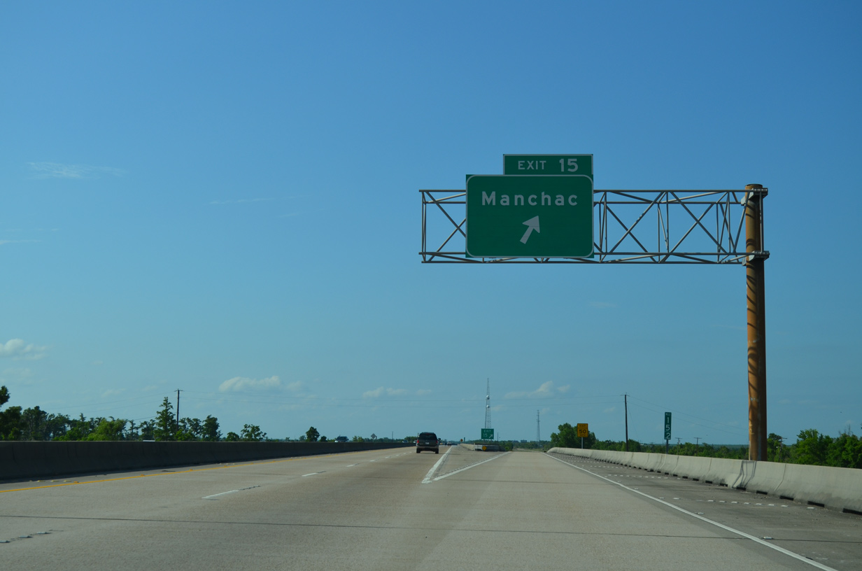
The elevated roadways along I-55/U.S. 51 come together within two miles of Exit 15 for Manchac.
05/09/15
I-55/U.S. 51 span eastern fringes of Lake Maurepas at Manchac Pass near Manchac Wildlife Management Area. Paralleling to the east is the 1957 bridge along Old U.S. 51 and a lift bridge along the Canadian National Railroad.
05/09/15
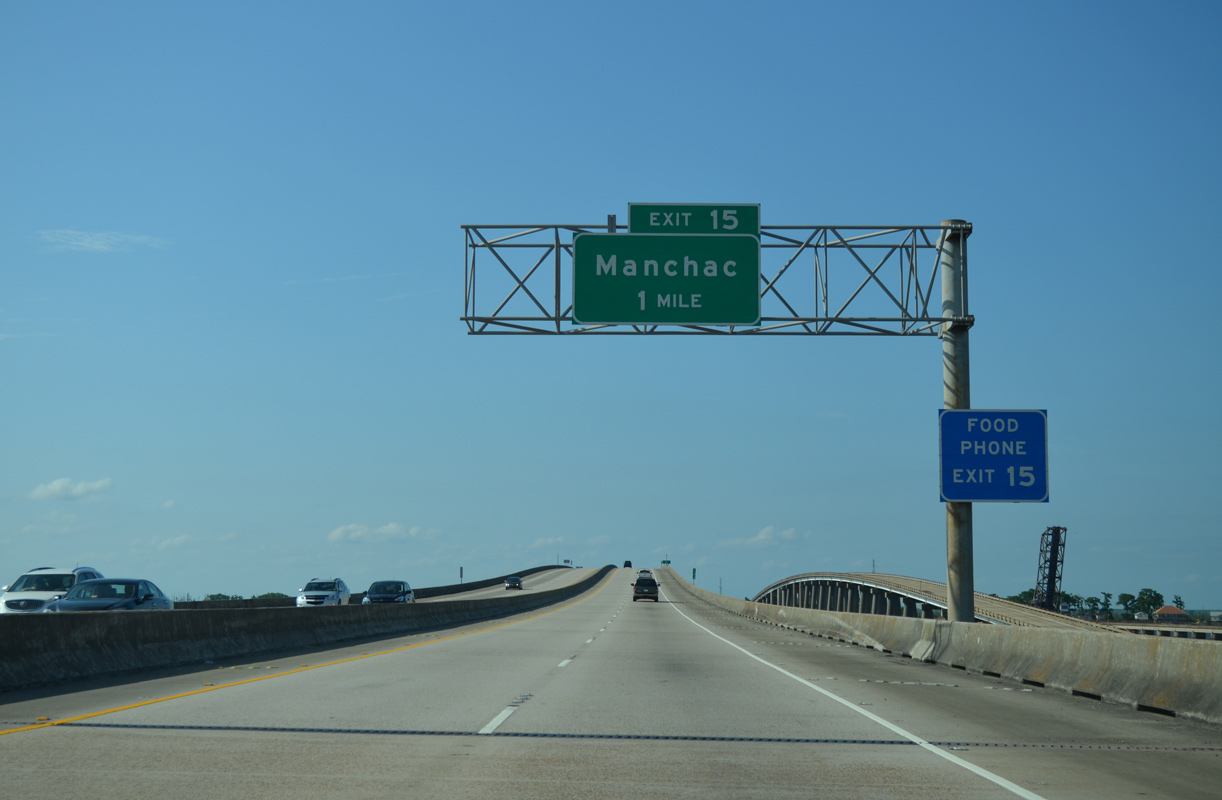
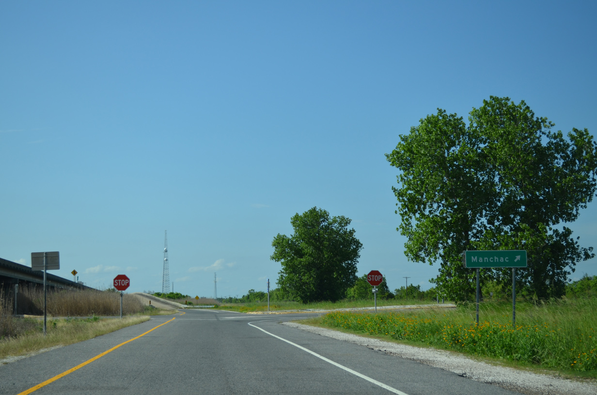
The diamond interchange at Exit 15 north of Pass Manchac, connects I-55/U.S. 51 with Old U.S. 51 near Manchac. Manchac includes a handful of traveler services.
05/09/15
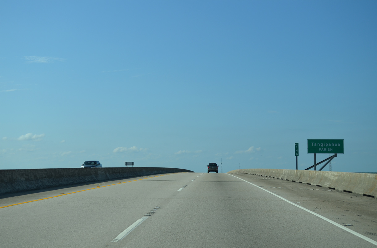
The Tangipahoa Parish line coincides with Pass Manchac, the waterway linking Lakes Maurepas east to Lake Pontchartrain.
05/09/15
Manchac includes a number of fish camps and small marinas below the I-55/U.S. 51 viaducts on Jones Island.
05/09/15
Exit 15 lowers from I-55/U.S. 51 to a 0.10 mile long access road linking with Old U.S. 51.
05/09/15
The Port Manchac inter-modal facility lies north along the Canadian National Railroad and Old U.S. 51 at North Pass.
05/09/15
Continuing from Manchac, I-55/U.S. 51 span North Pass.
05/09/15
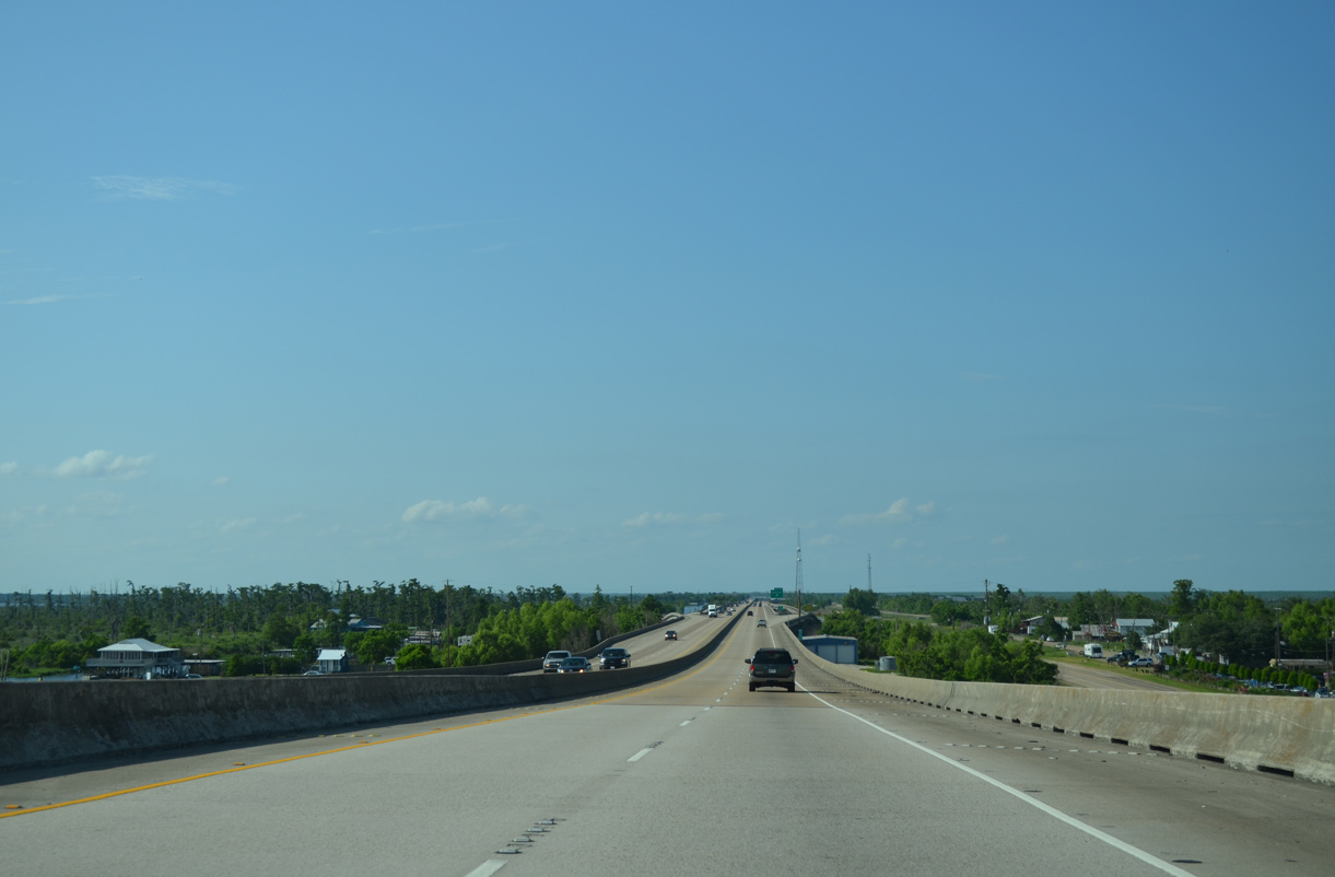
Ponchatoula, the succeeding exit along I-55/U.S. 51 north, lies adjacent to Hammond in eight miles.
05/09/15
The 23 mile long viaduct system along Interstate 55 spans wetland areas at Joyce Wildlife Management Area between Owl Bayou and South Slough.
05/09/15
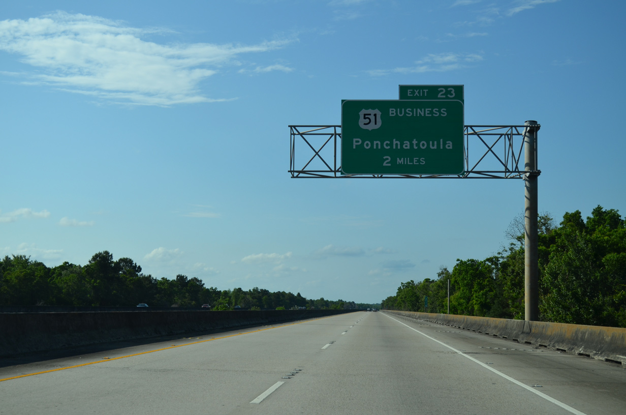
U.S. 51 Business (Railroad Avenue) separates from I-55/U.S. 51 north to the city of Ponchatoula beyond the viaduct end at Exit 23.
05/09/15
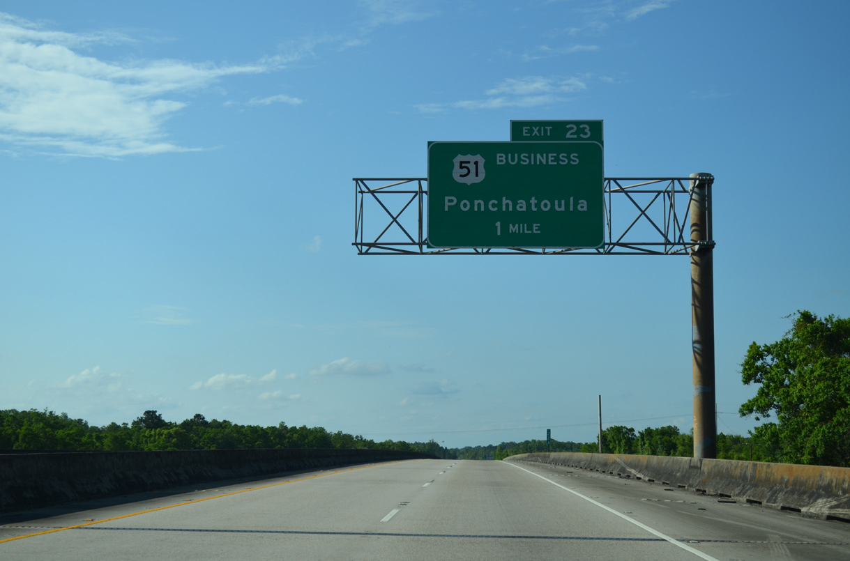
One mile south of the trumpet interchange (Exit 23) with U.S. 51 Business along I-55/U.S. 51 north. The bypass of U.S. 51 through Ponchatoula and Hammond opened in 1960.
05/09/15
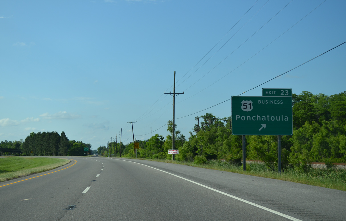
I-55 overtakes Old U.S. 51 at Exit 22. The old route of U.S. 51 separates again from the freeway at Exit 23 into Ponchatoula. U.S. 51 Business follows Railroad Avenue north to LA 22 (Pine Street) and Pine Street west to Veterans Avenue and Hammond.
05/09/15
I-55/U.S. 51 angle northwest from U.S. 51 Business to Cedar Lane, where a frontage road system commences along the freeway.
05/09/15
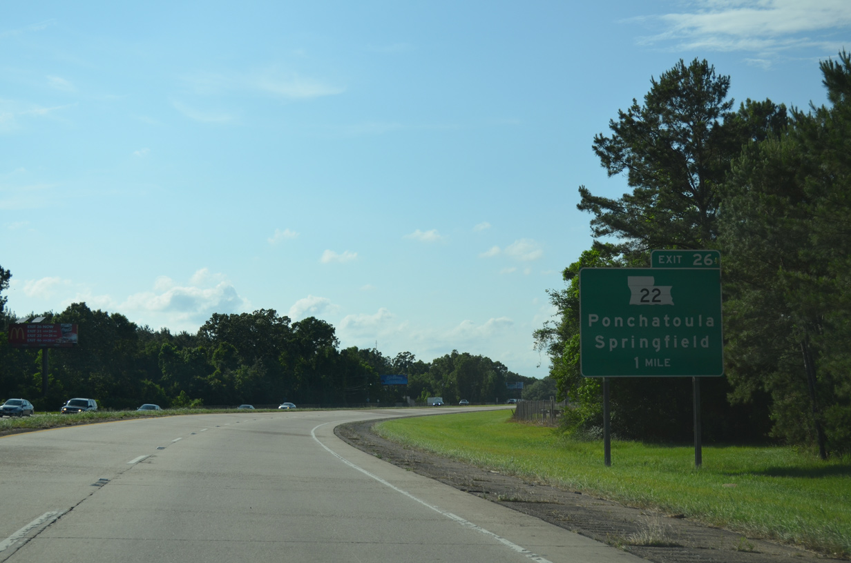
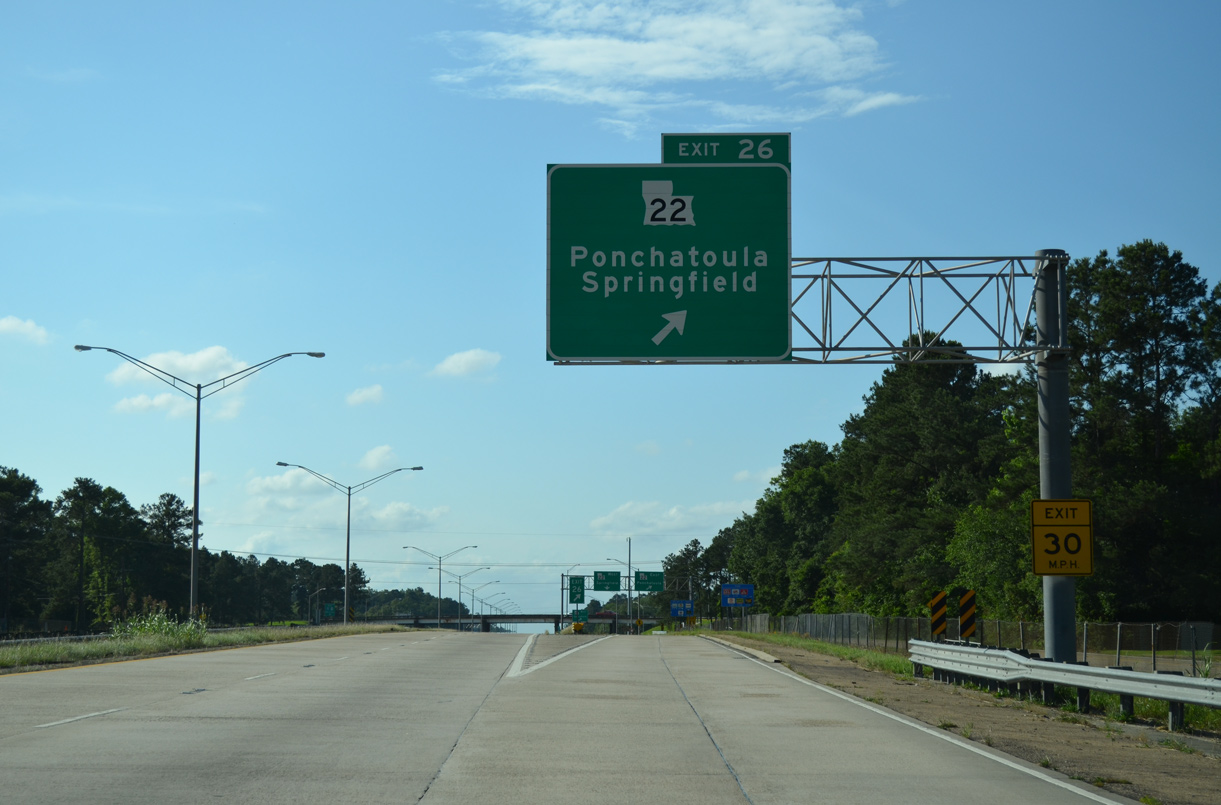
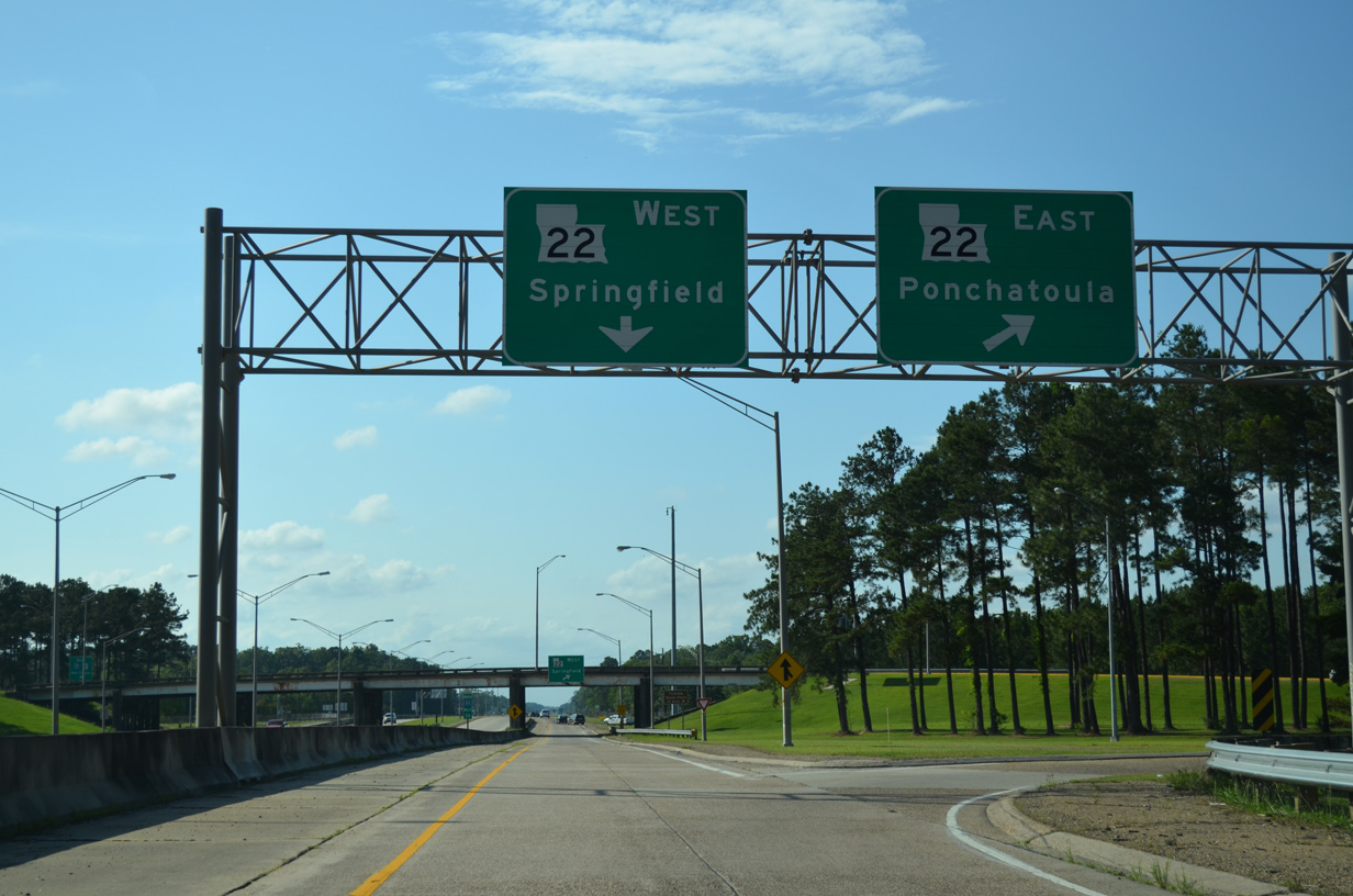
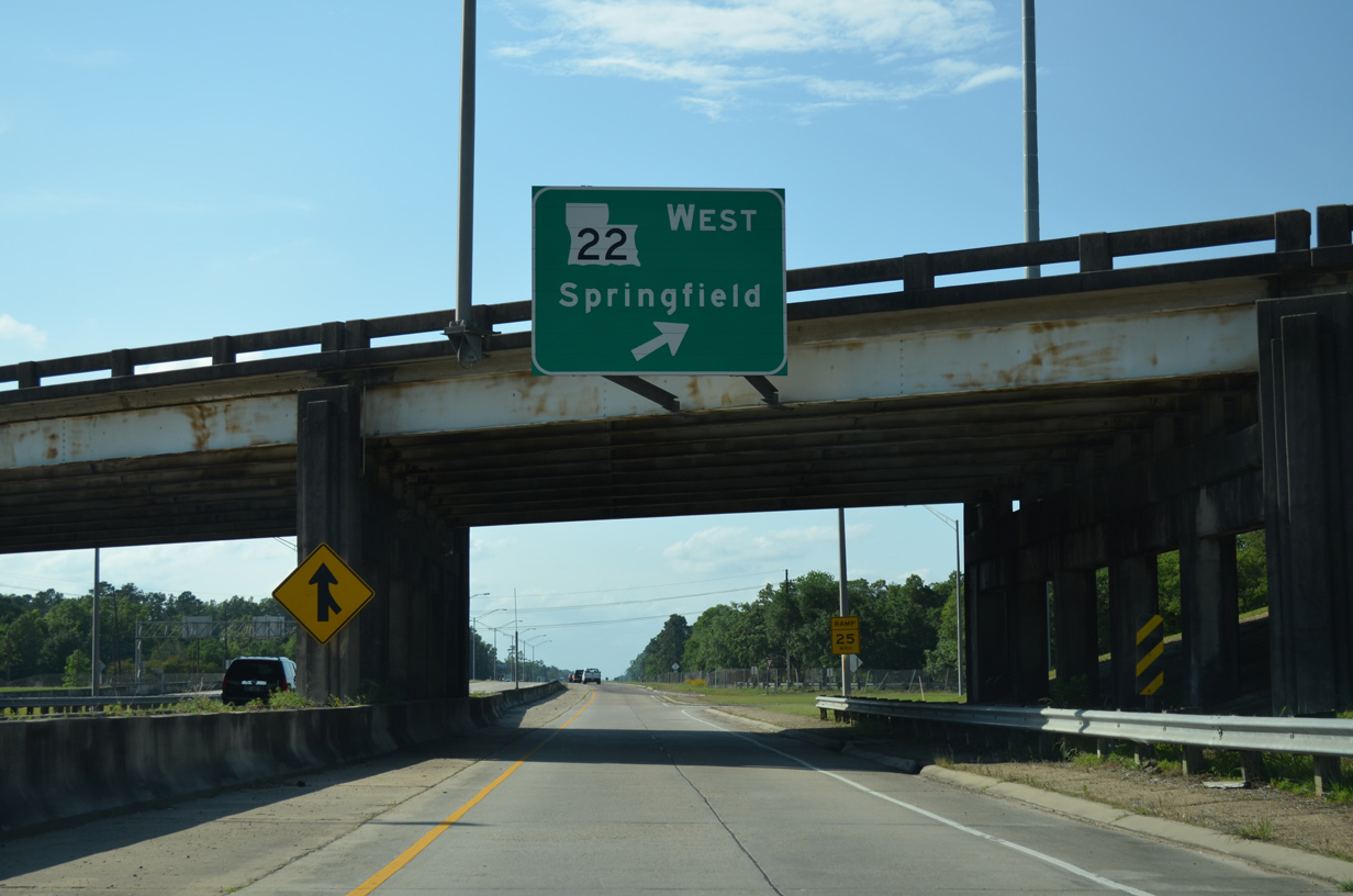
I-55/U.S. 51 enter Ponchatoula one mile ahead of the cloverleaf interchange (Exit 26) with LA 22 (Pine Street).
05/09/15
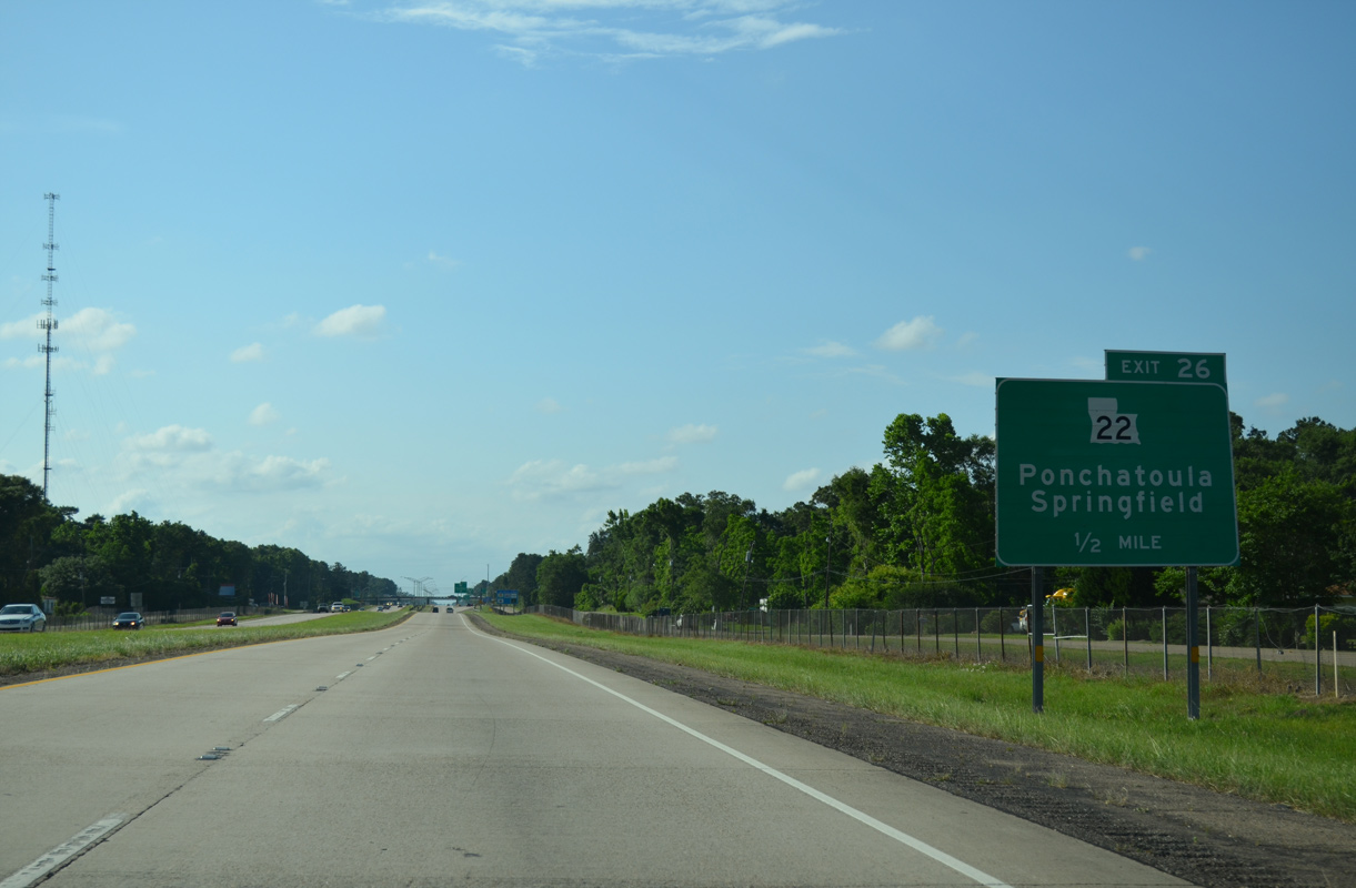
A collector distributor roadway (Exit 26) separates from I-55/U.S. 51 north in a half mile for LA 22 (Pine Street).
05/09/15
LA 22 constitutes a 71.20 mile long highway east to U.S. 190 at Mandeville and southwest to Sorrenton and LA 75/942 at Darrow along the Mississippi River.
05/09/15
LA 22 (Pine Street) combines with U.S. 51 Business just east of Exit 26 for 0.90 miles into Downtown Ponchatoula. LA 22 continues from the city to Madisonville along the north shore of Lake Pontchartrain.
05/09/15
LA 22 continues west from Exit 26 and Ponchatoula 5.5 miles to LA 43 at the town of Springfield. LA 1037 west from Springfield leads to Patterson and Tickfaw State Park.
05/09/15
Leaving Ponchatoula, I-55/U.S. 51 continue with frontage roads to their split ahead of Hammond.
05/09/15
Distance sign formerly posted north of Exit 26. I-55 combines with I-20 at the Mississippi capital city in 131 miles.
10/24/03

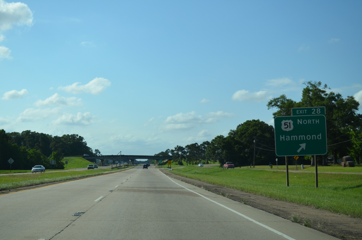
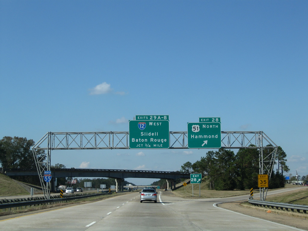
U.S. 51 branches north from Interstate 55 onto Morrison Boulevard at a trumpet interchange (Exit 28) in one mile.
05/09/15
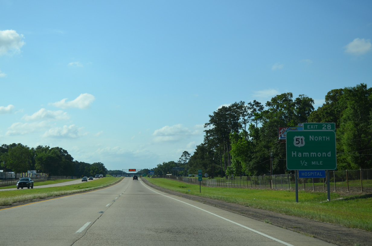
The bypass of U.S. 51 built in 1960 concludes north at Exit 28 just south of the Hammond city limits. Interstate 55 north from Hammond was completed by 1968.
05/09/15
U.S. 51 follows Morrison Boulevard along the west side of Hammond while U.S. 51 Business connects with Downtown along an overlap with U.S. 190 along Thomas Street and Morris Avenue.
05/09/15
Interstate 55 proceeds 0.75 miles northwest from the separation with U.S. 51 to the cloverleaf interchange (Exit 29) with Interstate 12.
11/20/08
05/09/15
 North
North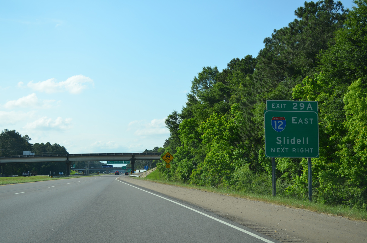
Interstate 12 constitutes an 86.65 mile long route west to I-10 in Baton Rouge and east to I-10/59 at Slidell.
05/09/15
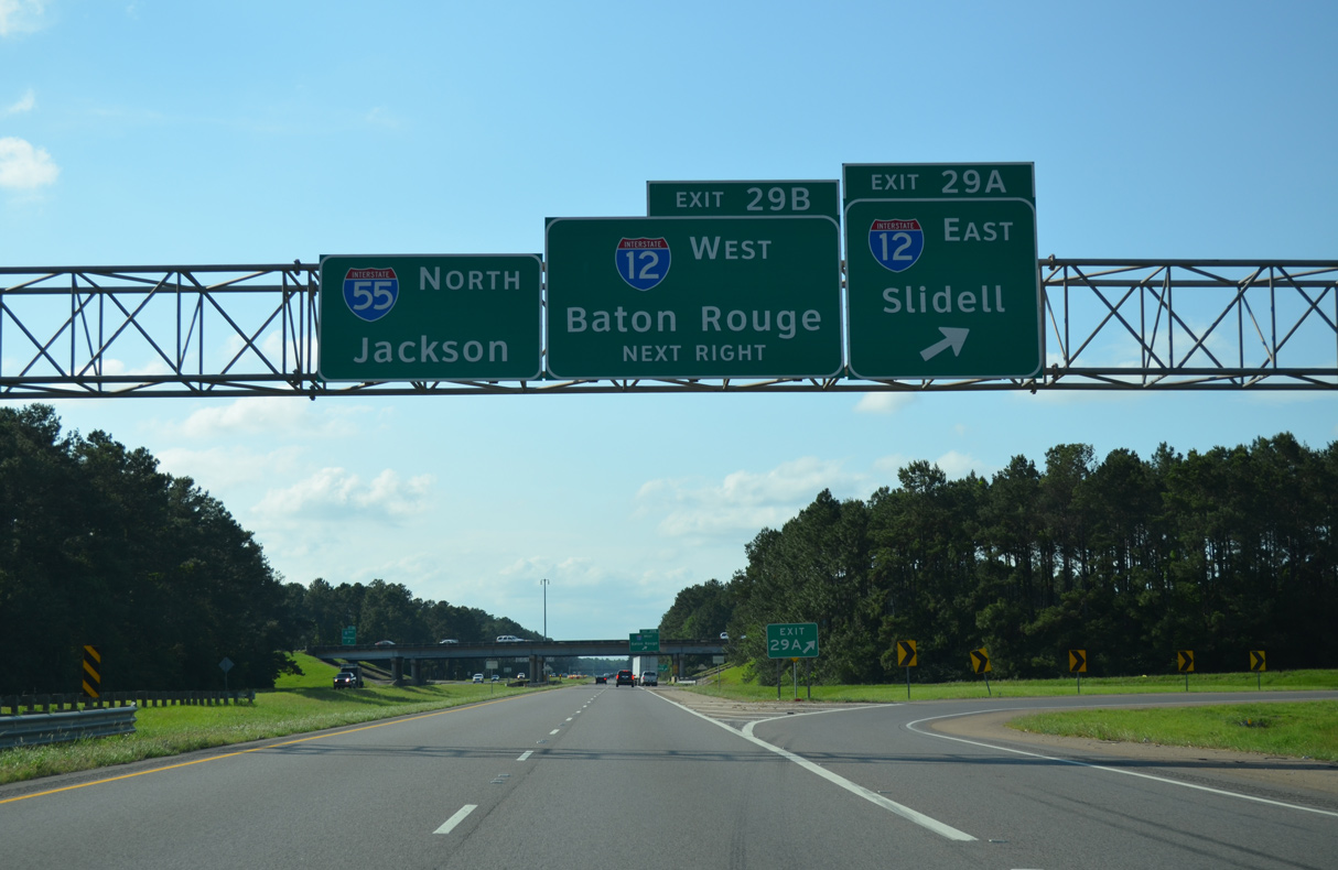
Exit 29 A departs Interstate 12 east for Covington, Mandeville and Slidell.
05/09/15
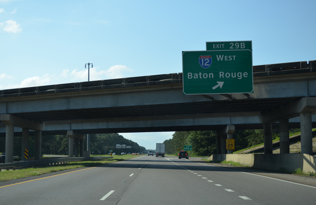
Interstate 12 travels 38 miles west from Exit 29 B to I-10 in the capital city.
05/09/15

References:
- Ruddock, Louisiana. Wikipedia.org.
Photo Credits:
- AARoads: 11/20/08
- Alex Nitzman: 10/24/03, 05/09/15
Connect with:
Page Updated Friday June 30, 2023.