
Interstate 57 North - Cairo to Dongola


 North
North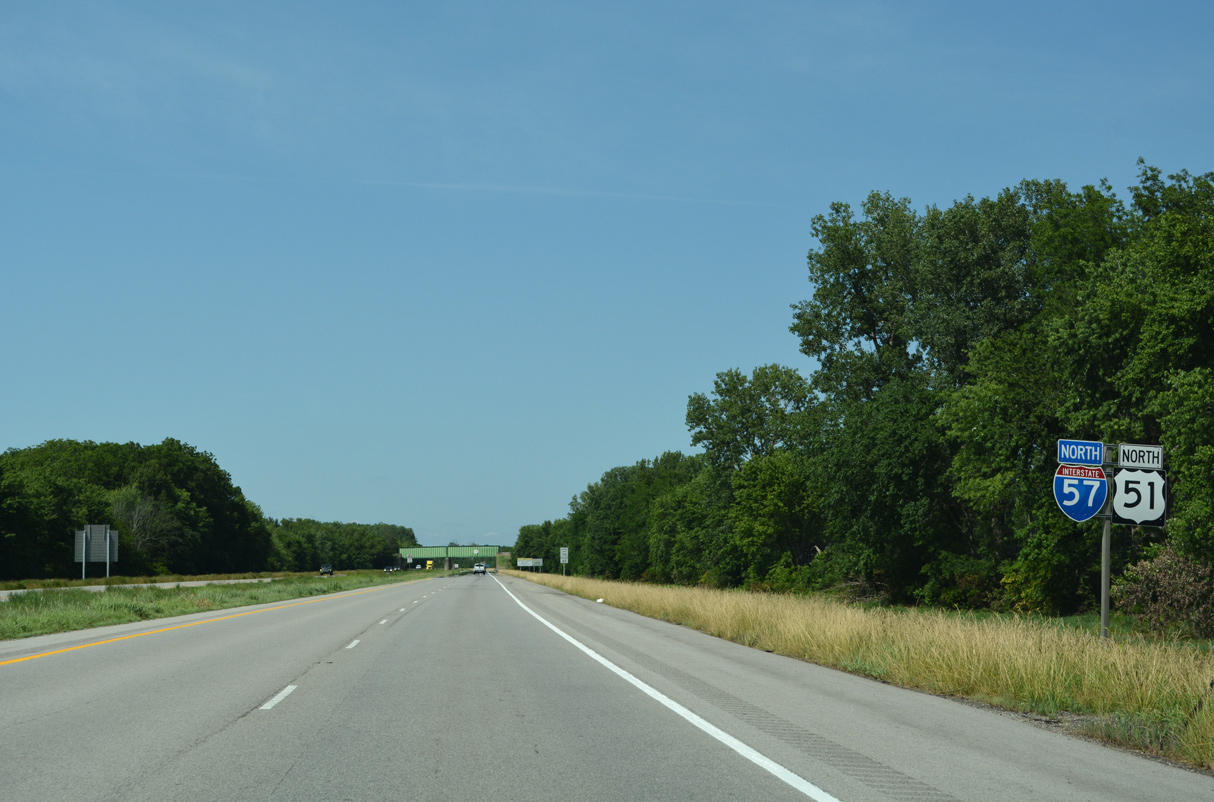
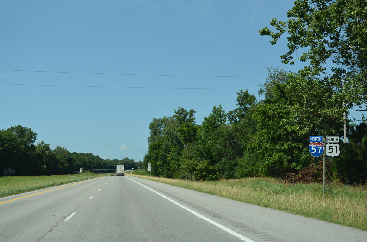
U.S. 51 combines with Interstate 57 for 23.39 miles north from Cairo.
06/17/22
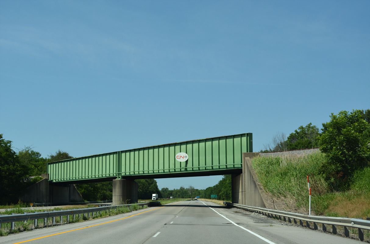
A Canadian National Railways (CN) line shifts to the west of Interstate 57 from Future City to Mounds.
06/17/22
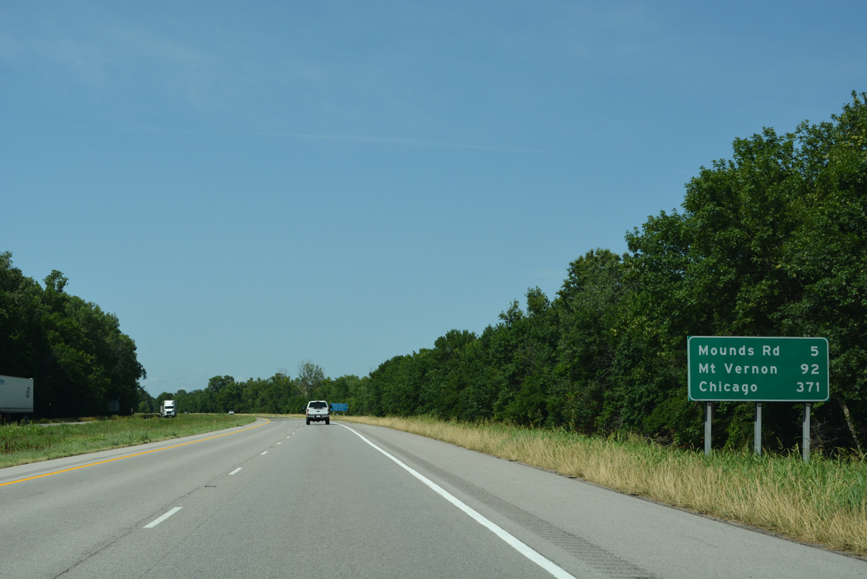
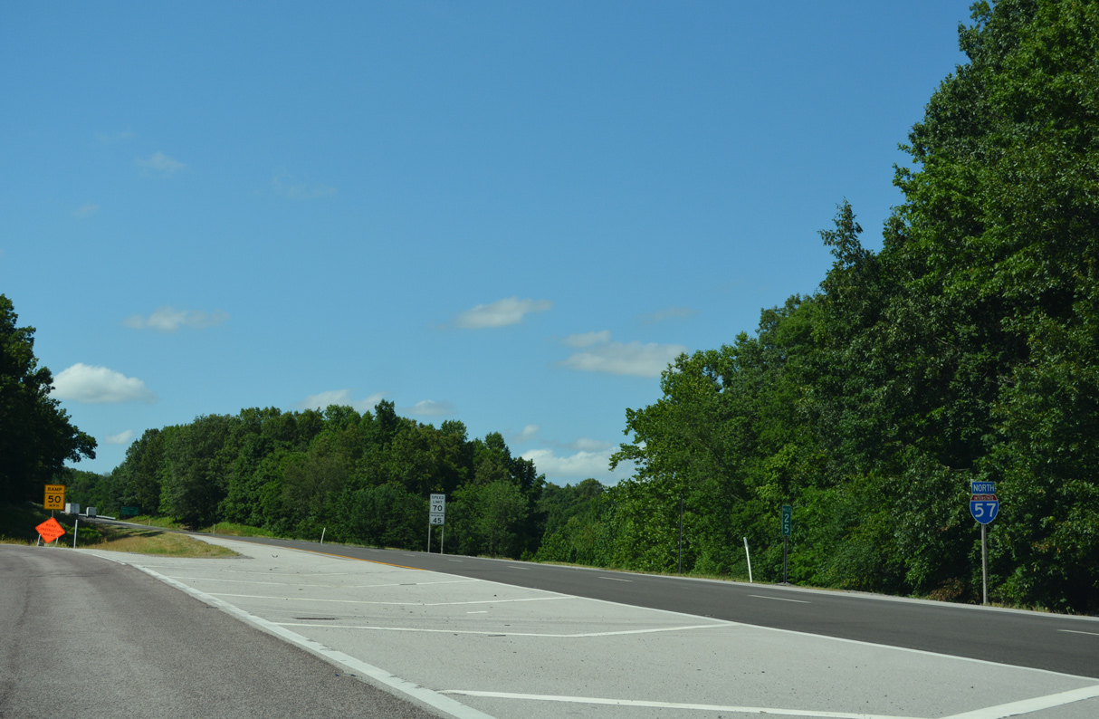
I-57 connects with IL 15 (Broadway Street) east into Mount Vernon in 91.7 miles.
06/17/22
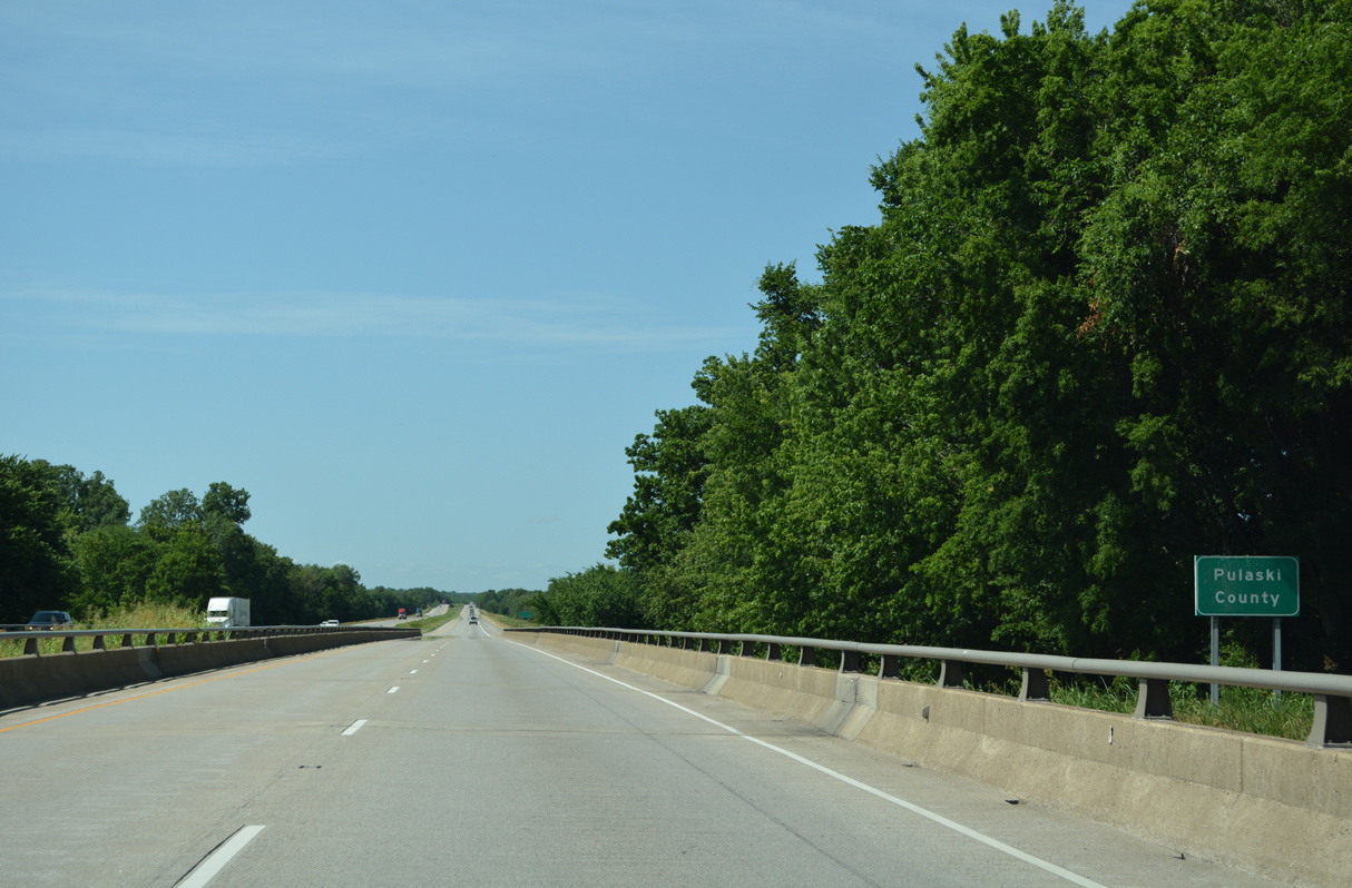
Spanning the Cache River, I-57/U.S. 51 enter Pulaski County west of Mound City.
06/17/22
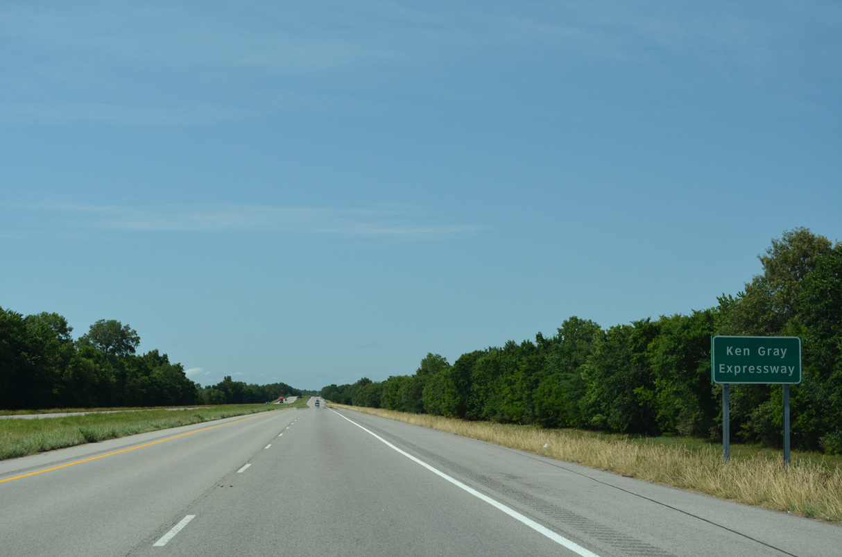
Interstate 57 in southern Illinois is the Ken Gray Expressway.
06/17/22
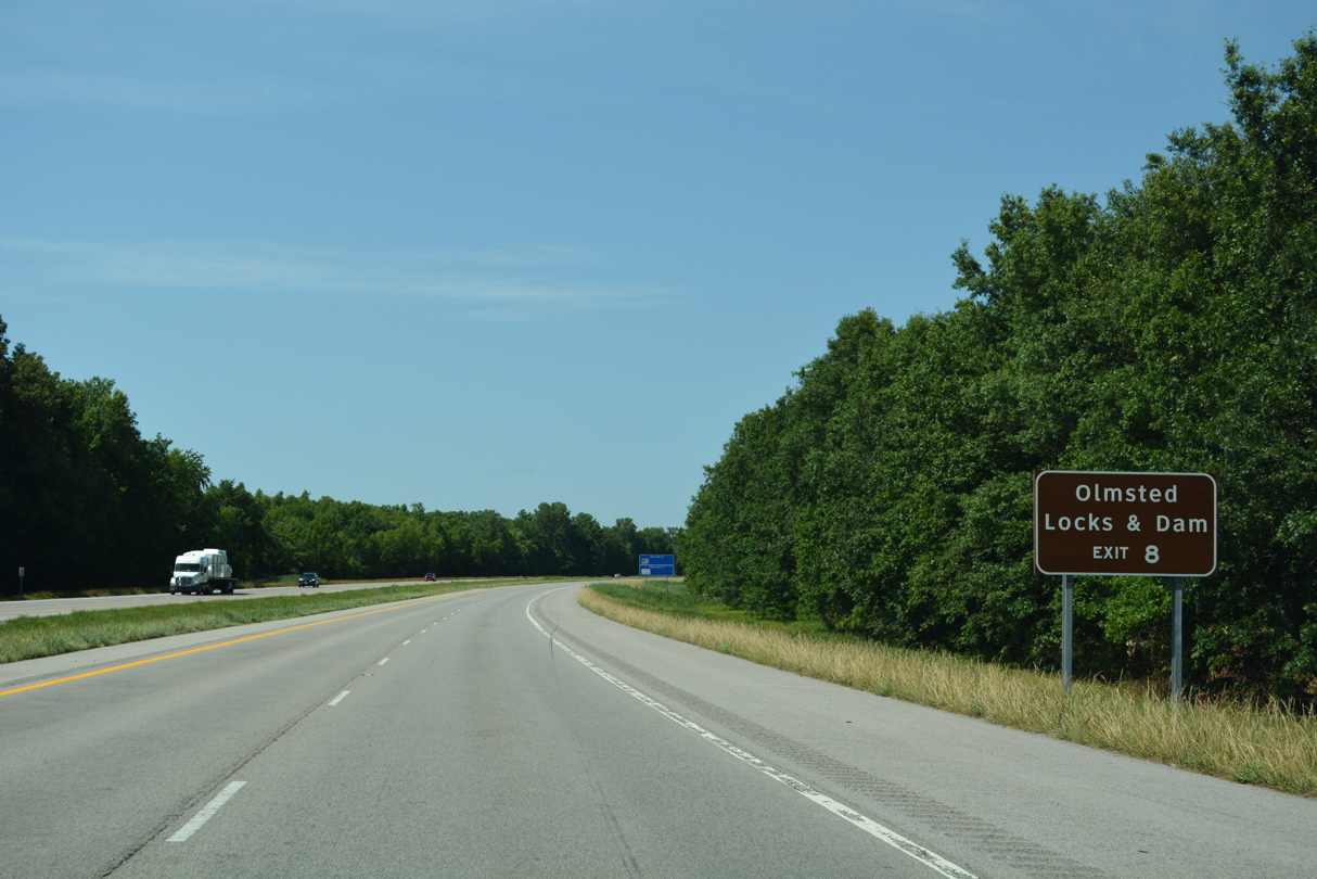
Olmsted Locks and Dam lies northeast along the Ohio River off IL 37 in the village of Olmsted.
06/17/22
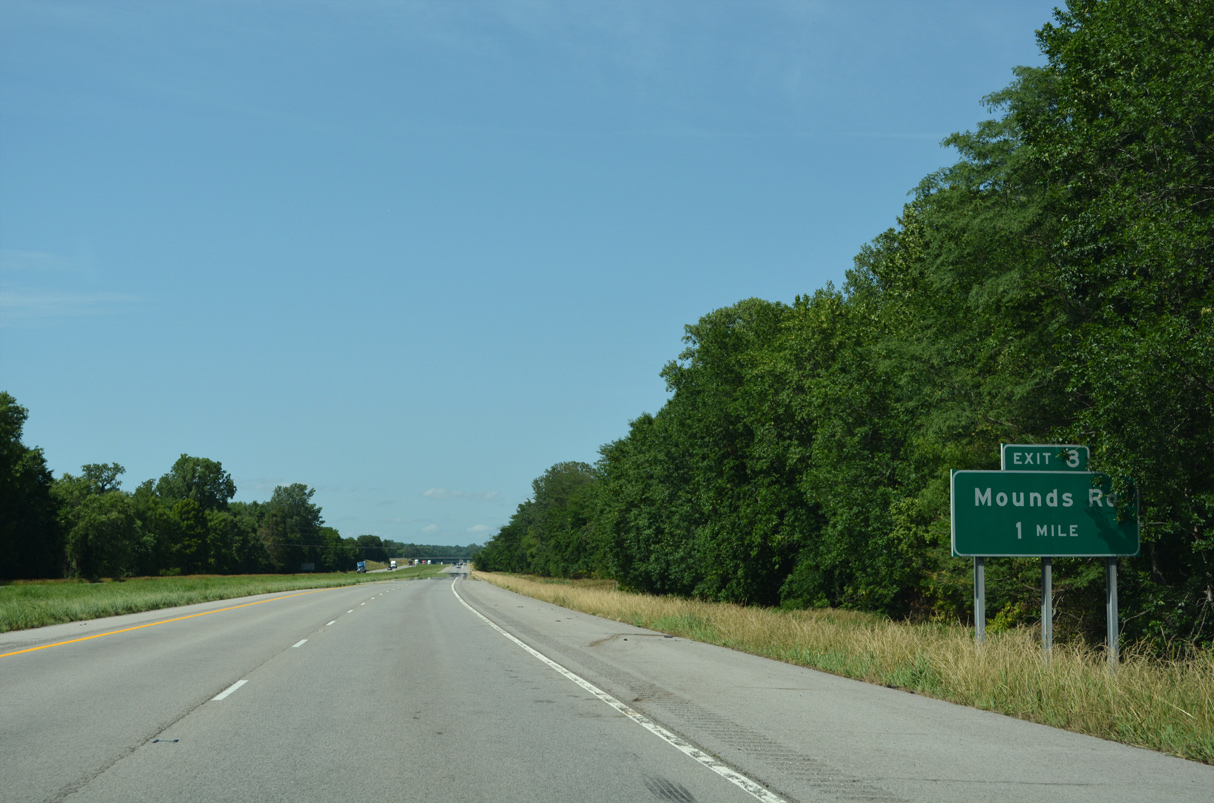
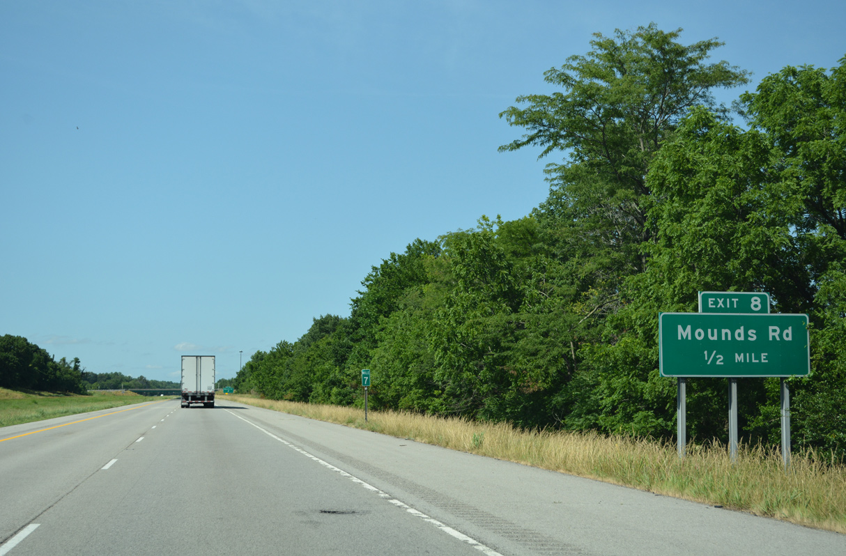
A diamond interchange joins I-57/U.S. 51 with Mounds Road 0.80 miles east of Old U.S. Highway 51 at Spencer Heights and 1.60 miles west of IL 37.
06/17/22
Mounds Road west to Old U.S. Highway 51 links I-57/U.S. 51 with Blanche Street south to the Mounds city center.
06/17/22
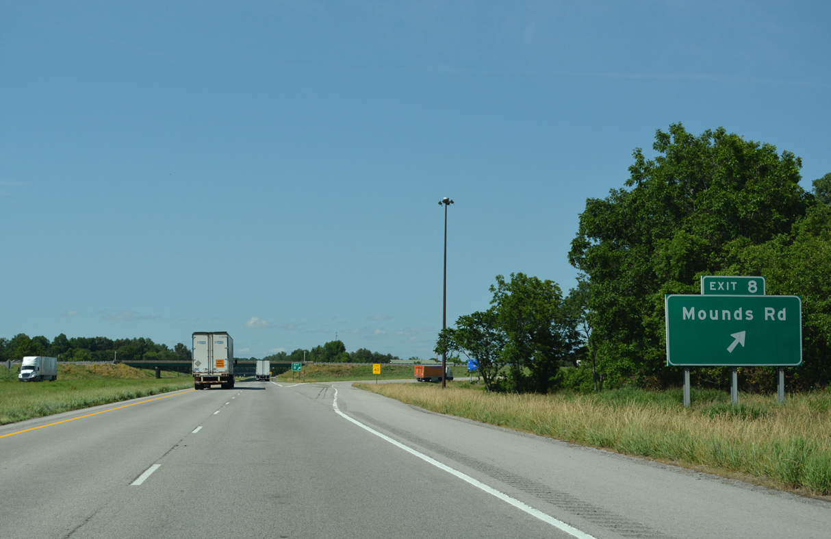
Mounds Road (CR 8) east to IL 37 north leads to Olmsted and New Grand Chain. IL 37 runs south to Mound City.
06/17/22
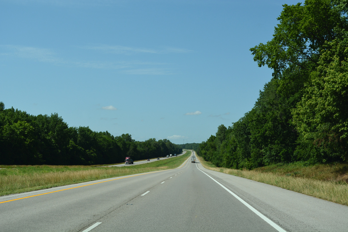
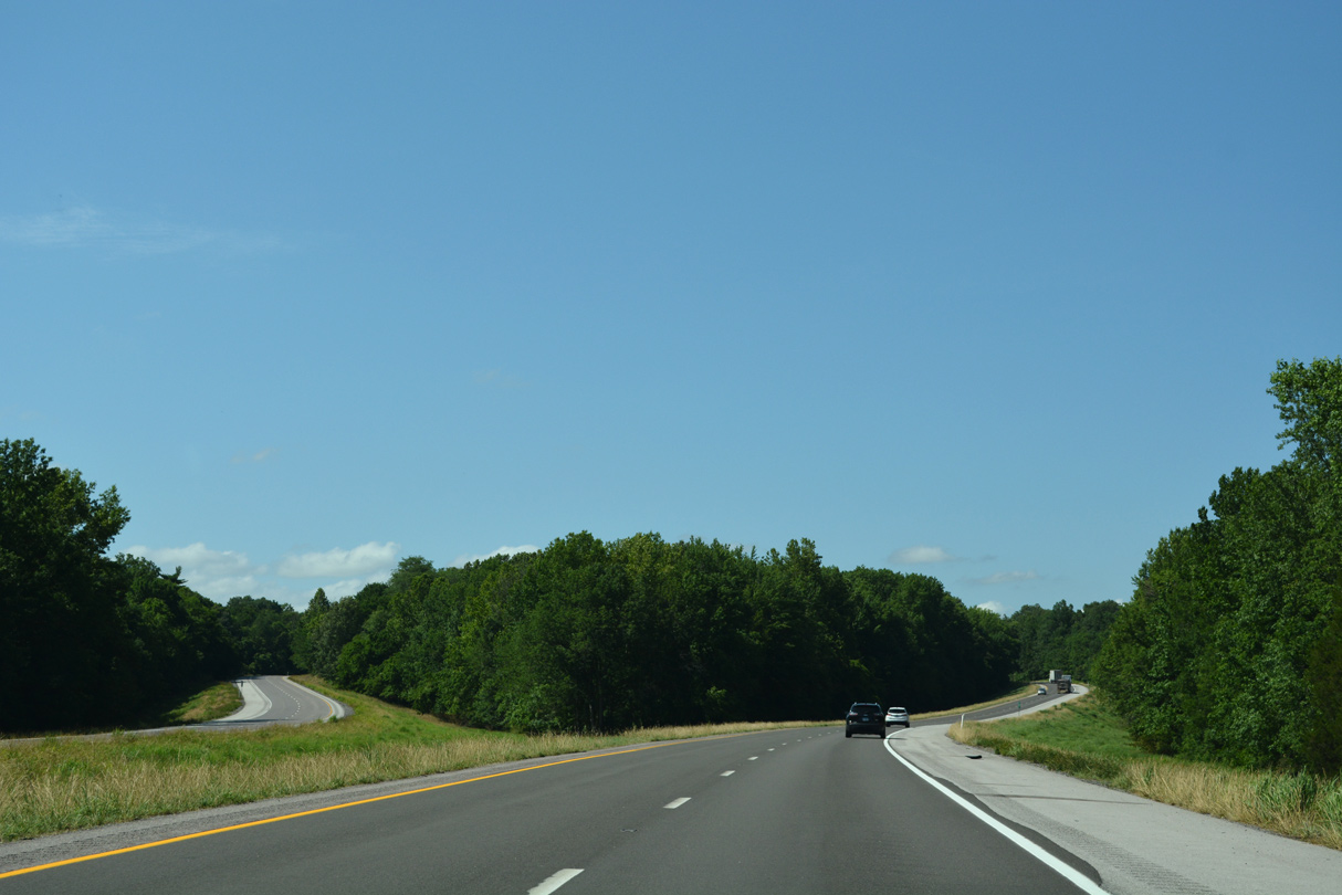
I-57/U.S. 51 separate agricultural areas from timberland on the ensuing stretch north from Exit 8.
06/17/22
11,700 vehicles per day were recorded by ILDOT along Interstate 57 between Exits 8 and 18 in 2017.
06/17/22
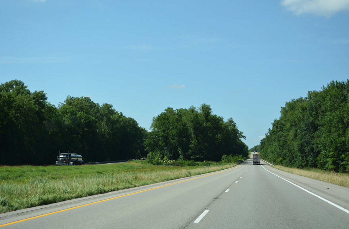
The roadways for I-57/U.S. 51 separate ahead of the crossing of Briar Creek.
06/17/22
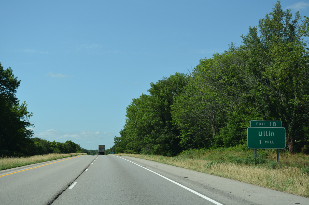
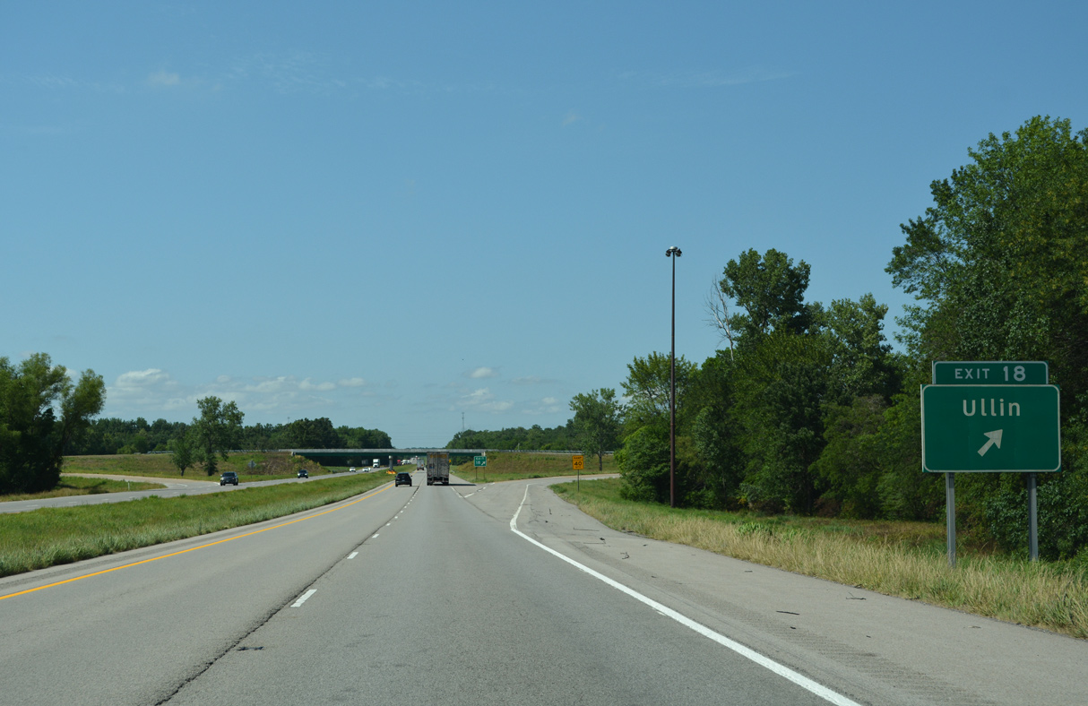
I-57/U.S. 51 enter eastern reaches of the Ullin village limits at forthcoming Exit 18.
06/17/22
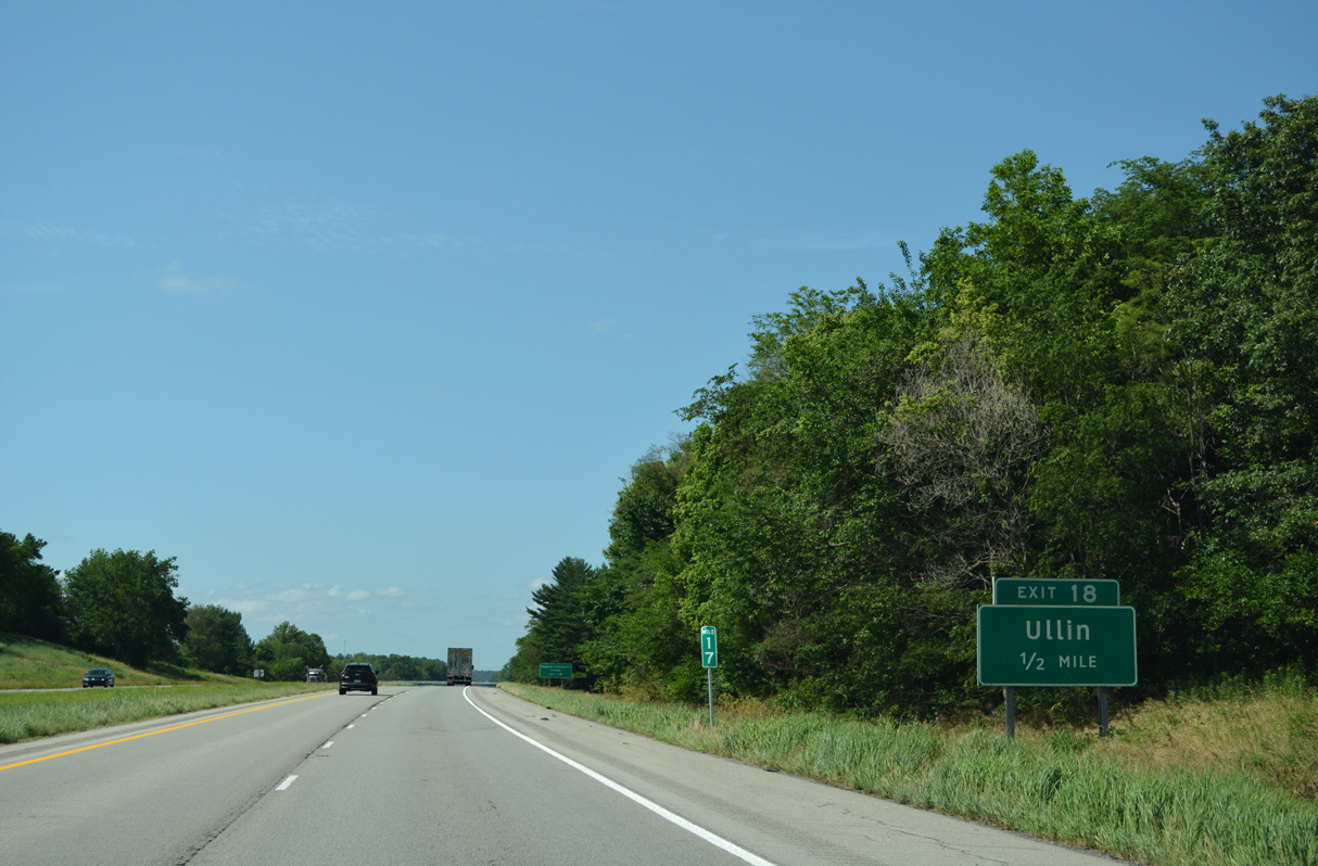
Shawnee College Road stems 1.54 miles east from Old U.S. 51 in Ullin to I-57/U.S. 51 at Exit 18.
06/17/22
Shawnee College Road continues 7.44 miles east from the diamond interchange with I-57/U.S. 51 to Shawnee Community College and IL 37 north of New Grand Chain.
06/17/22
I-57/U.S. 51 cross the Cache River for a second time east of Ullin.
06/17/22
The roadways separate along I-57/U.S. 51 east of Wetaug and north of the Perks Road over crossing.
06/17/22
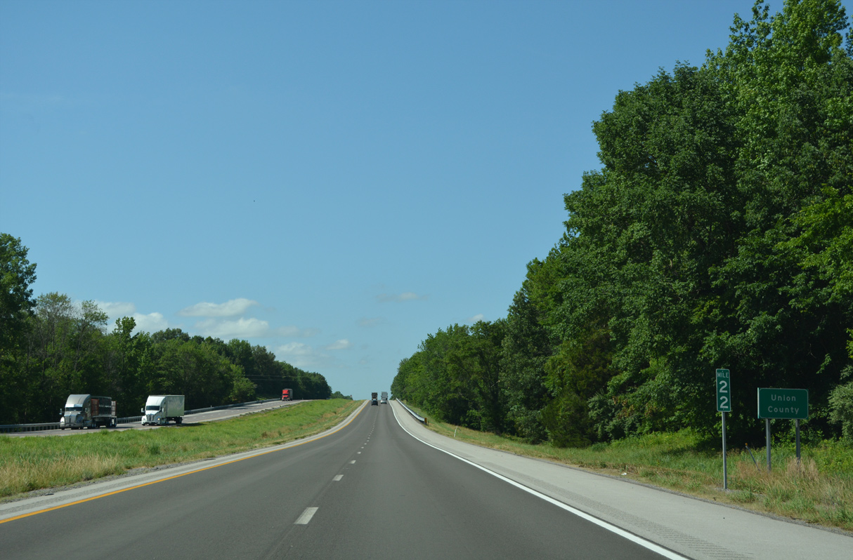
Interstate 57 advances north into Union County at mile marker 22.
06/17/22
I-57/U.S. 51 straddle the Dongola village line from the Swan Pond Road overpass north to Exit 24.
06/17/22
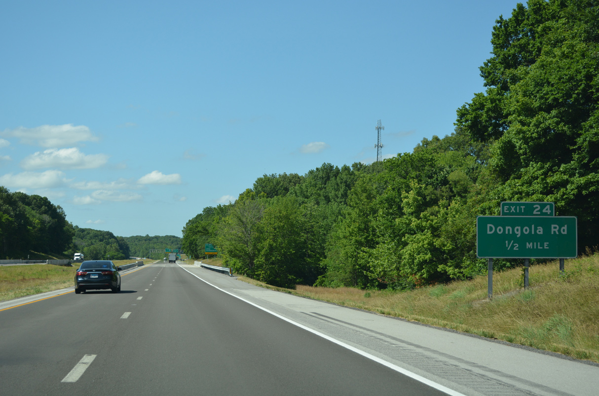
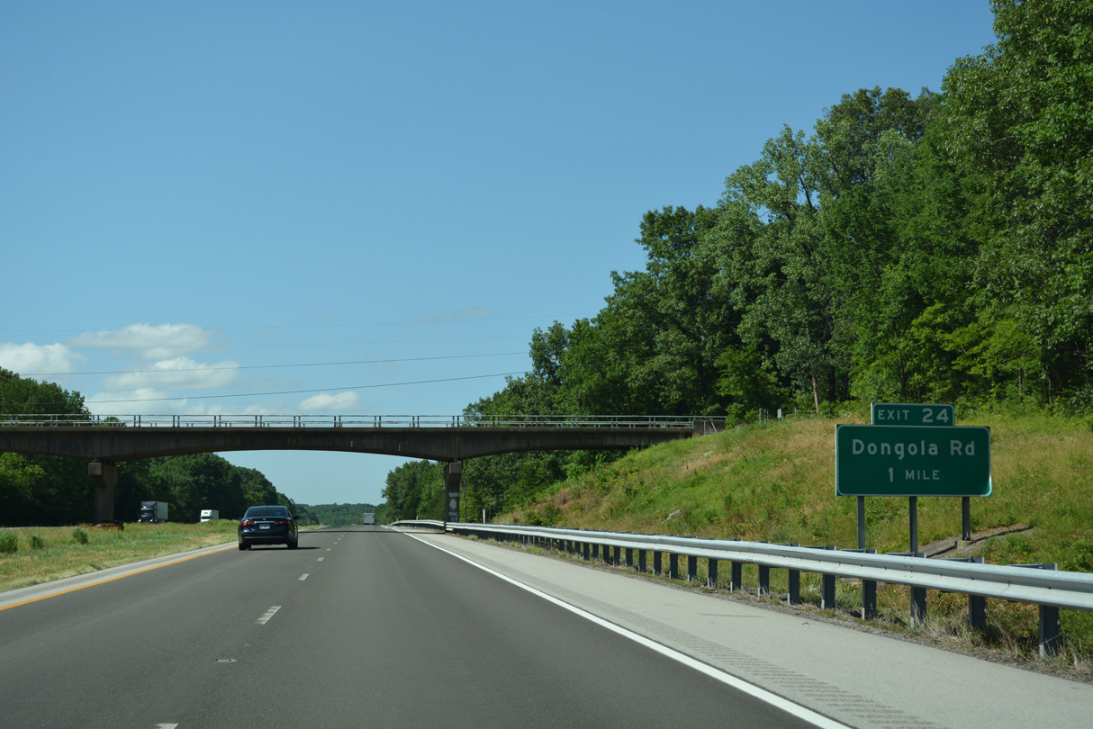
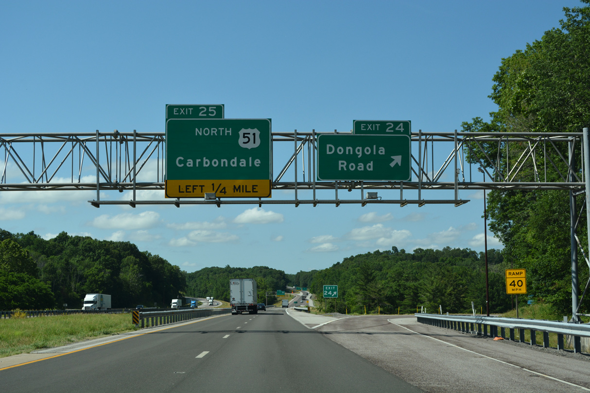
Signed for Dongola Road, the diamond interchange at Exit 24 joins I-57/U.S. 51 with Cypress Road (CR 14) east and NE Front Street southwest to the Dongola village center.
06/17/22
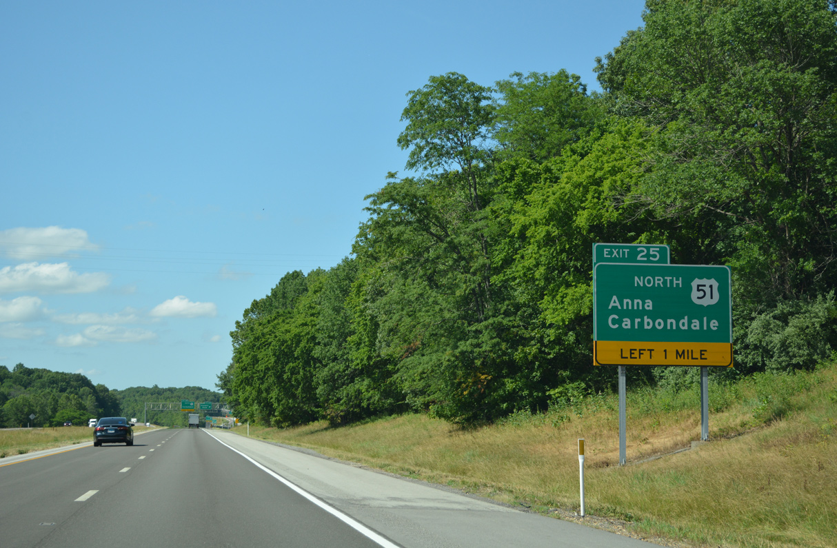
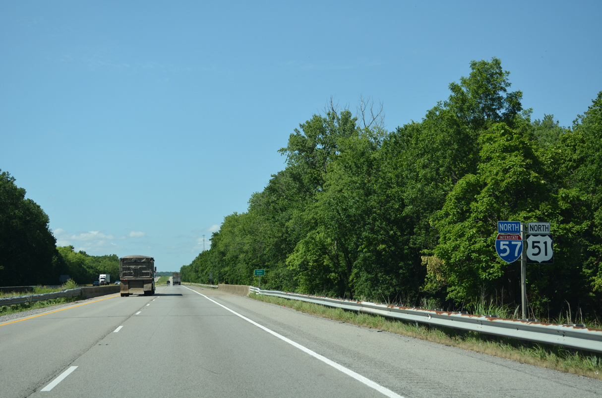
U.S. 51 parts ways from I-55 at the succeeding exit north of Dongola.
06/17/22
East from I-57/U.S. 51, Cypress Road becomes Dongola Road in 6.91 miles at Bethany Road and the Johnson County line. Dongola Road extends 1.4 miles east to IL 37 south of Cypress.
06/17/22
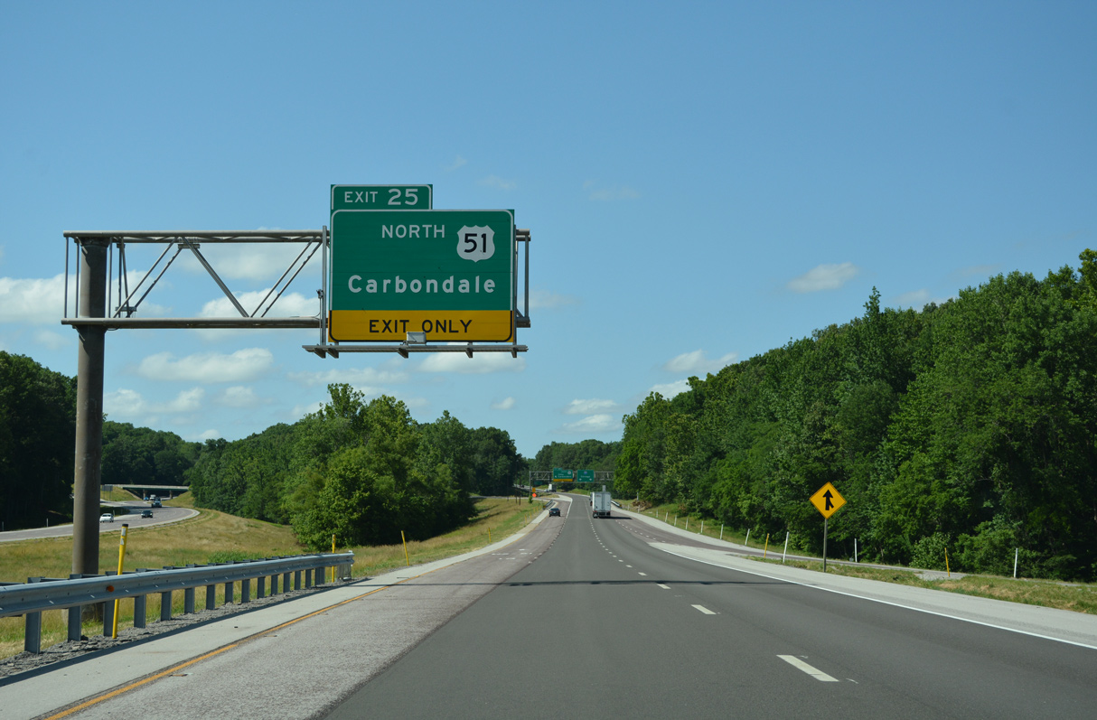
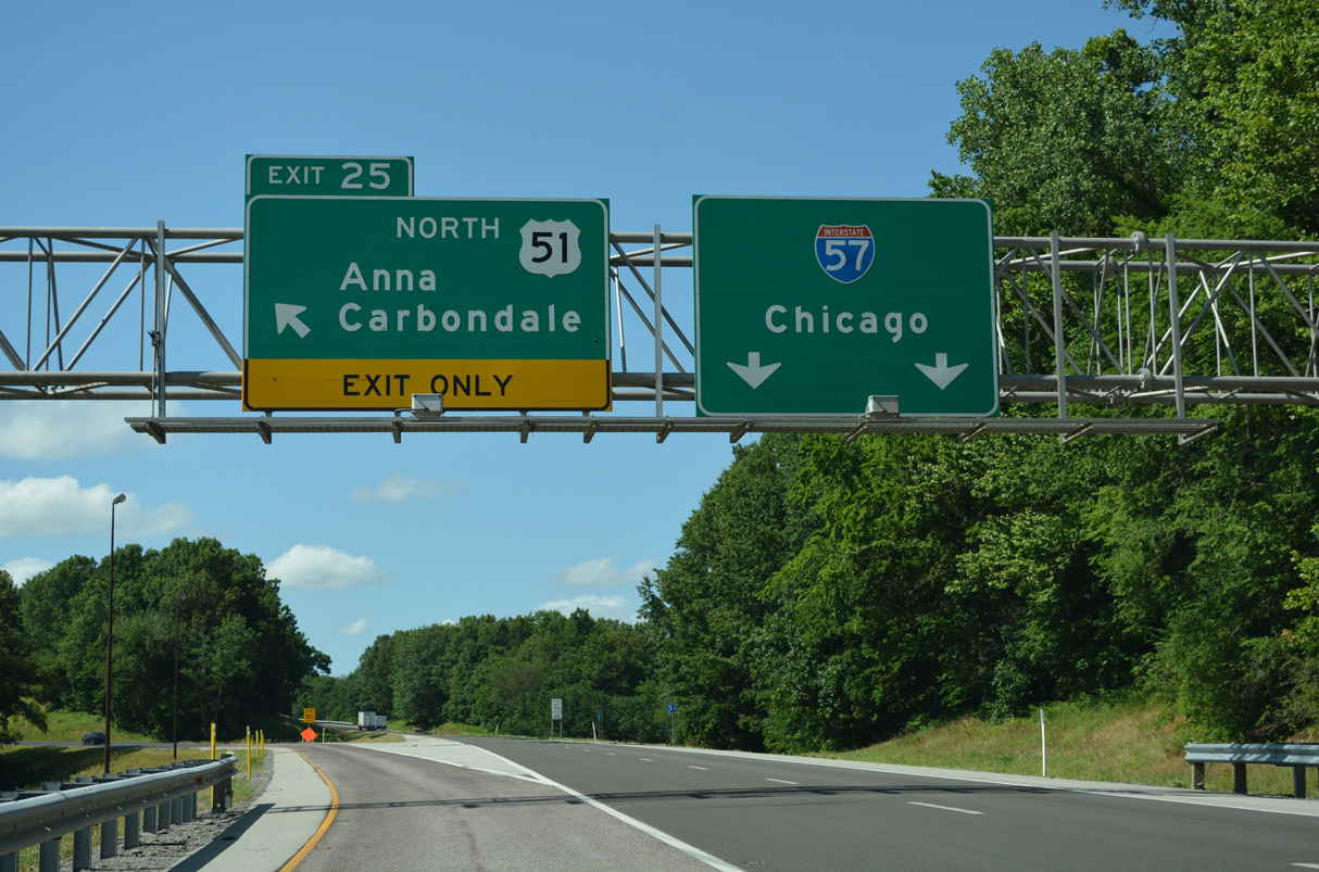
U.S. 51 branches northwest from the wye interchange at Left Exit 25 to the cities of Anna and Carbondale.
06/17/22
U.S. 51 parallels Interstate 57 to the west from Anna and Makanda north to Du Quoin, Centralia and Sandoval.
06/17/22
A confirming marker for Interstate 57 appears by the gore point for Left Exit 24.
06/17/22
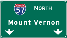

Photo Credits:
- Alex Nitzman: 06/17/22
Connect with:
Page Updated Saturday November 04, 2023.