
Interstate 57 South
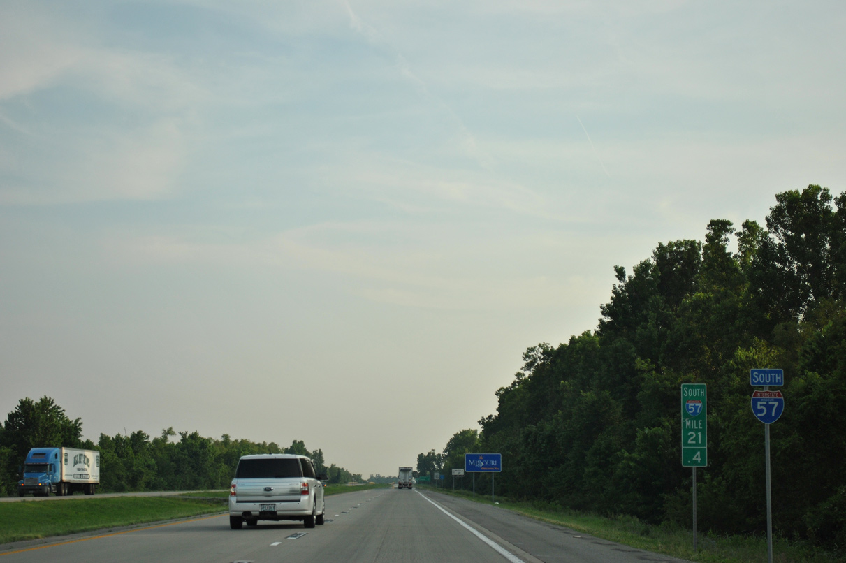
 South
South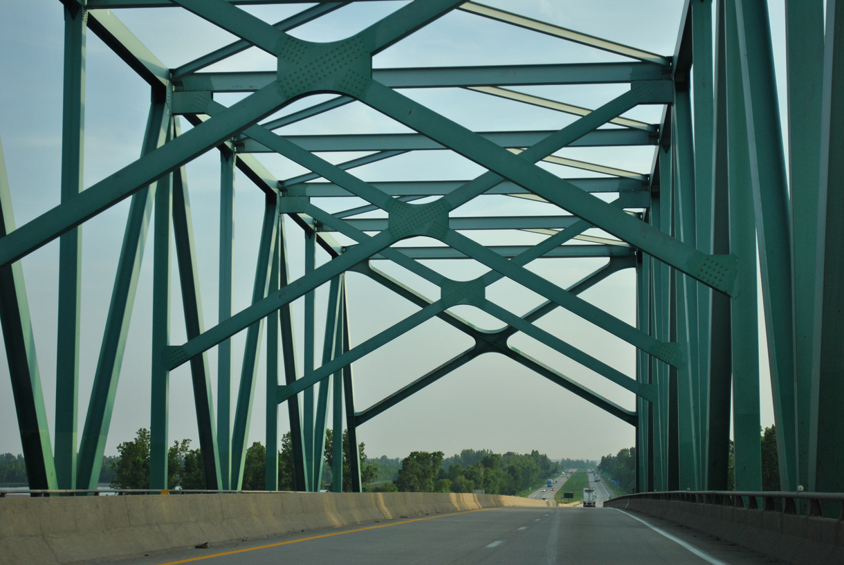
Interstate 57 lowers from the Mississippi River Bridge to an agricultural area north of Stevenson Bayou.
06/01/11
Interstate 57 travels uninterrupted for 9.07 miles south into Mississippi County, Missouri.
06/01/11
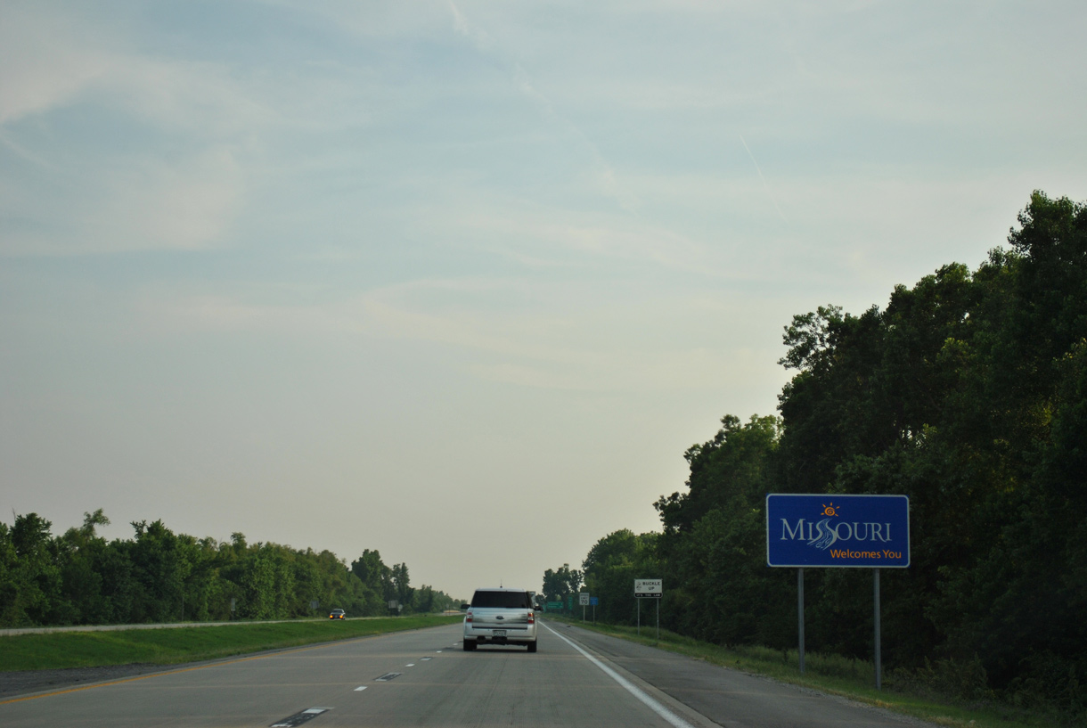
Missouri welcome sign
06/01/11
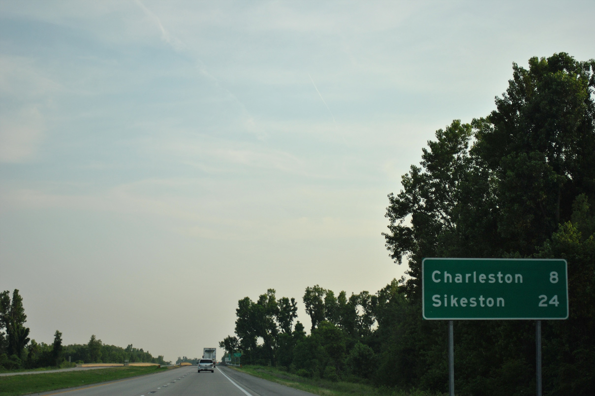
The Mississippi County seat of Charleston lies midway between the Illinois state line and the end of I-57 at Sikeston.
06/01/11
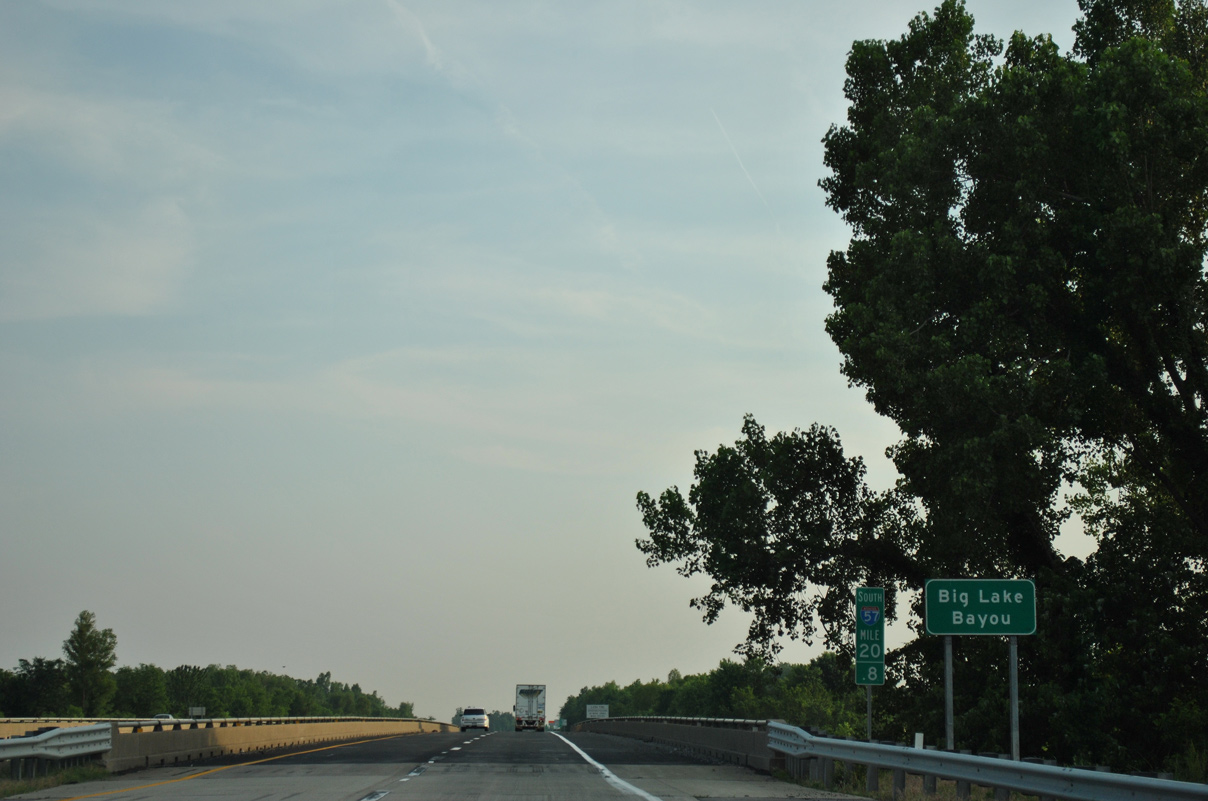
Interstate 57 spans Big Lake Bayou ahead of the Mississippi River levee system.
06/01/11
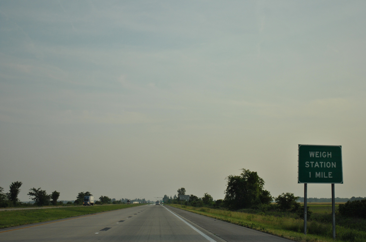
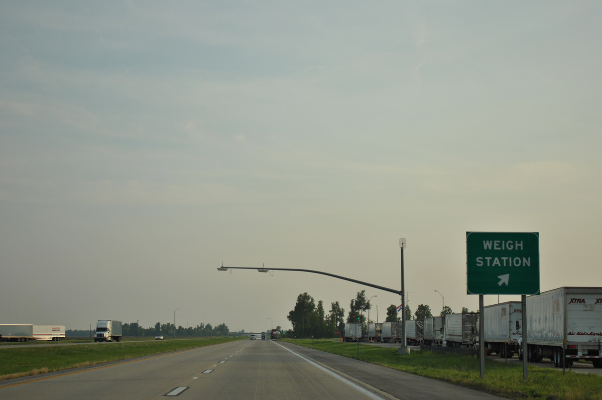
The truck weigh station along southbound I-57 lies 3.40 miles from the Illinois state line.
06/01/11
Route 77 combines with U.S. 60/62 west 5.19 miles from Route Y at Wilson City to Interstate 57 in Charleston.
06/01/11
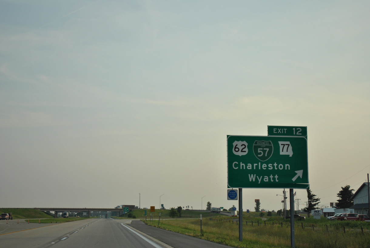
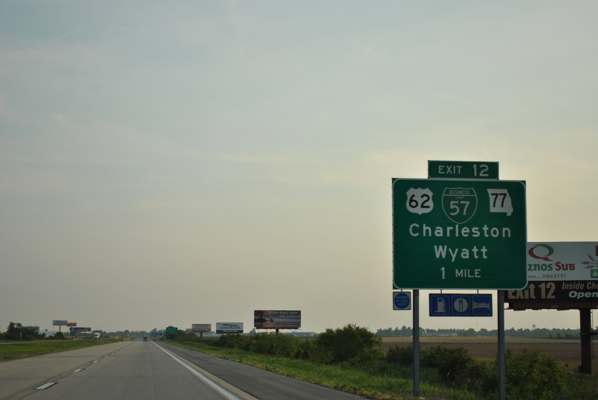
Business Loop I-57 accompanies U.S. 62/Route 77 (E Marshall Street) 1.74 miles west to Route 105/N (Main Street) by Downtown Charleston.
06/01/11
South  West
West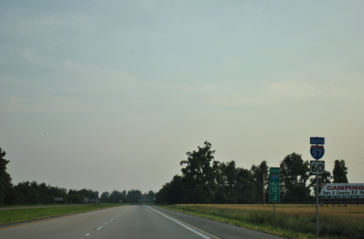
U.S. 60 overlaps with the remainder of Interstate 57 for 12.97 miles west from Exit 12 in Charleston.
06/01/11
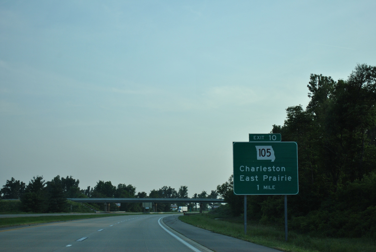
Business Loop I-57 returns to I-57 alongside Route 105 south 1.01 miles to Exit 10.
06/01/11
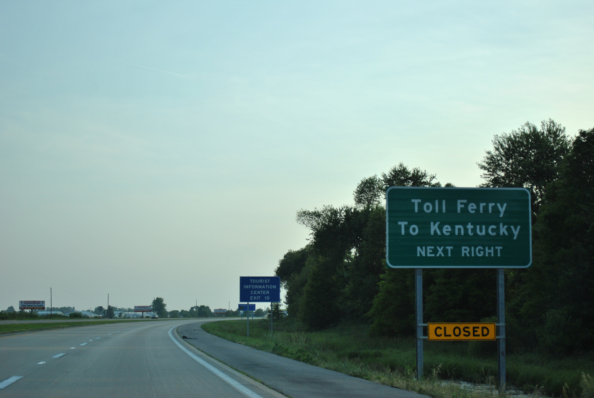
Route 105 south provides part of a route from Charleston to the Dorena-Hickman Ferry joining Dorena, Missouri with KY 94 at Hickman.
06/01/11
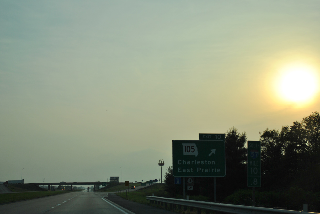
Measuring 10.53 miles in length, Route 105 heads south from U.S. 62/Route 77 in Charleston to Route 80 (Washington Drive) in the city of East Prairie.
06/01/11
I-57/U.S. 60 bee line west across open farm land over the course of 4.5 miles from Charleston.
06/01/11
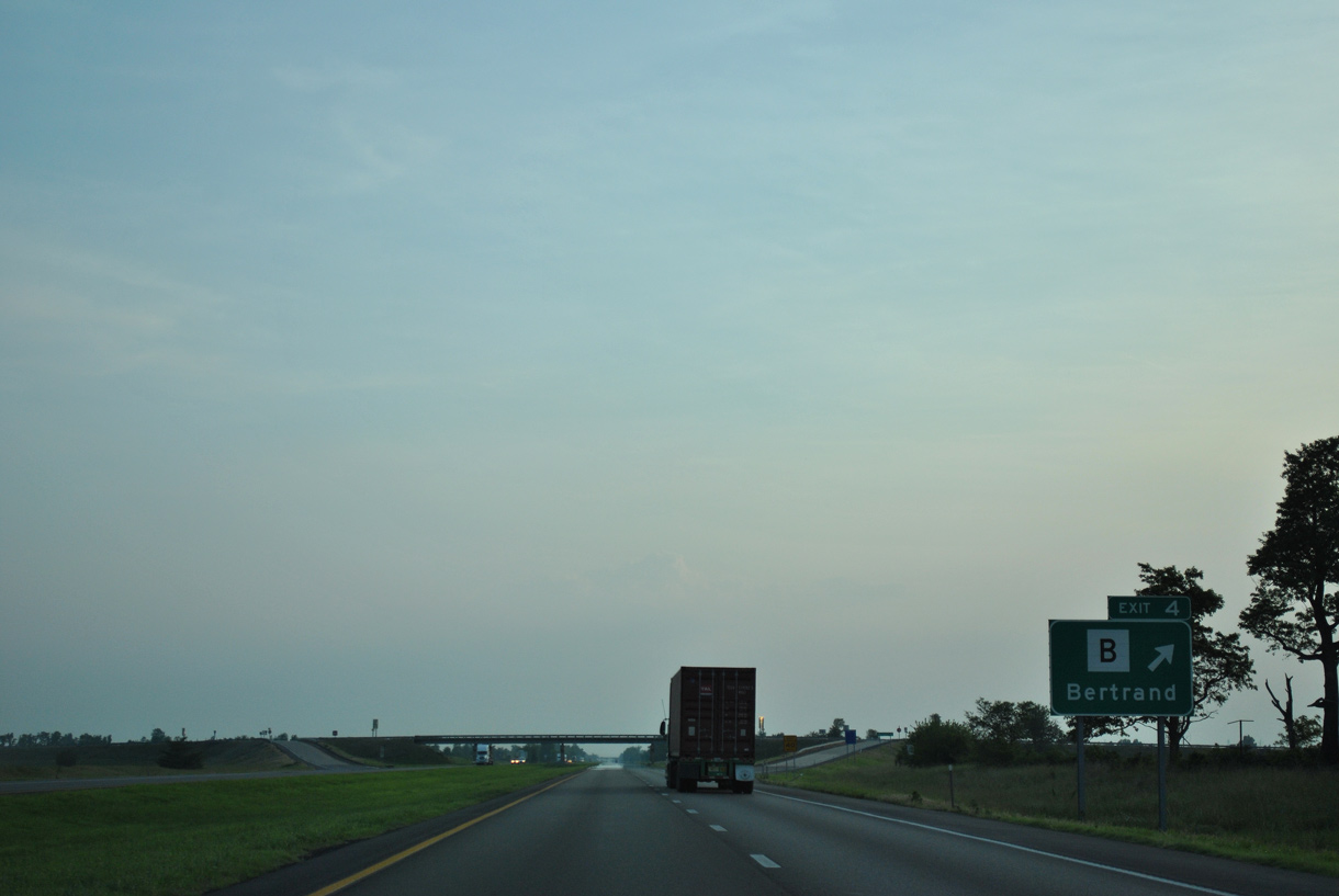
The penultimate exit along Interstate 57 south is for the city of Bertrand.
06/01/11
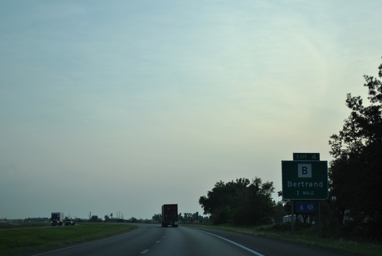
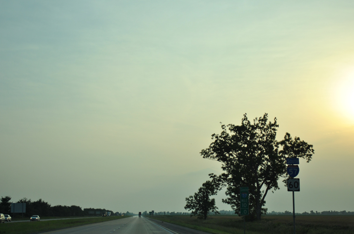
Route B stems 0.35 miles south from parallel U.S. 62 at Bertrand to meet I-57/U.S. 60 at Exit 4.
06/01/11
Route B extends 8.91 miles south from Bertrand to Route 80 west of East Prairie.
06/01/11
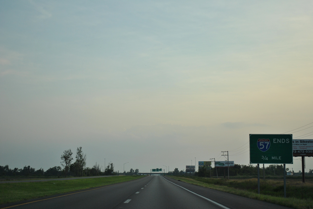
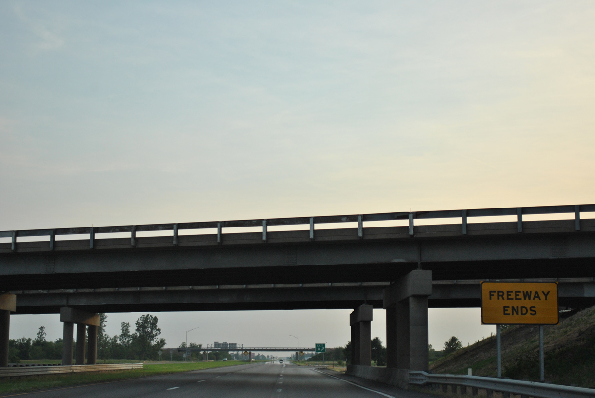
The original concrete roadway along Interstate 57 west to Sikeston was paved over with asphalt in 2010.
06/01/11
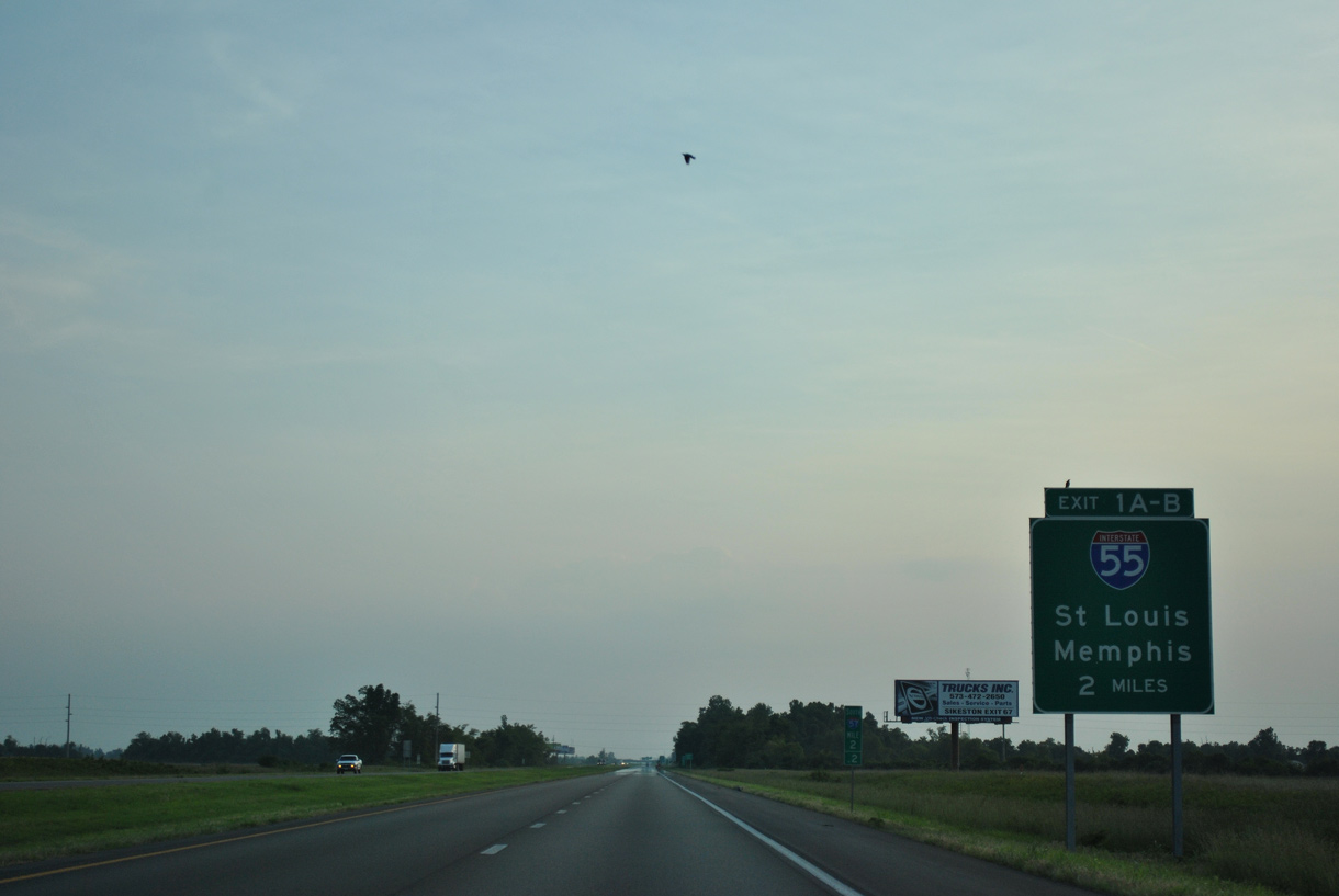
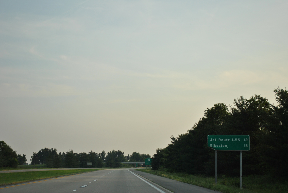
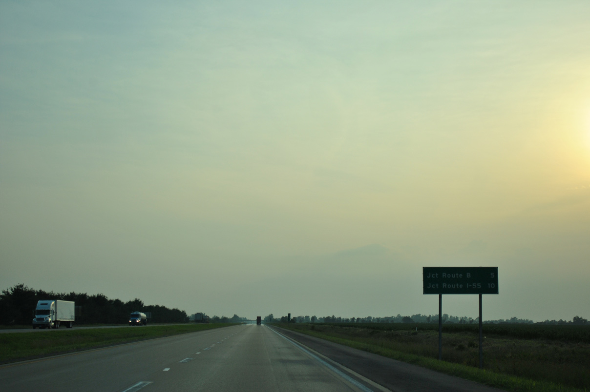
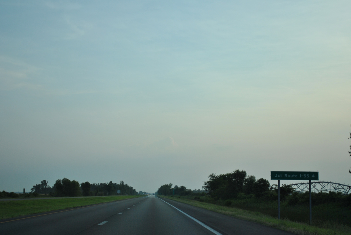
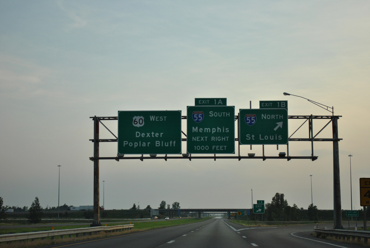
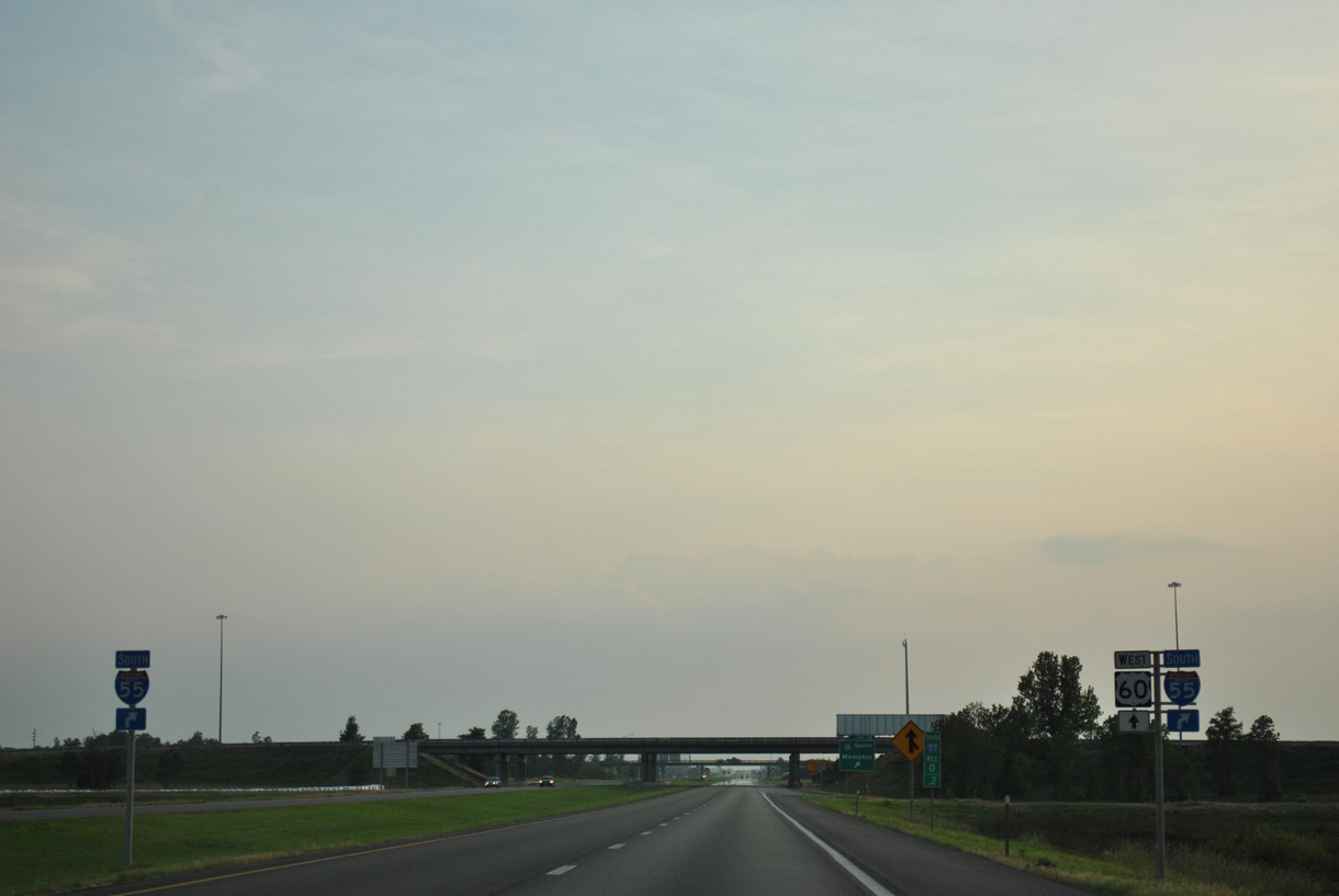
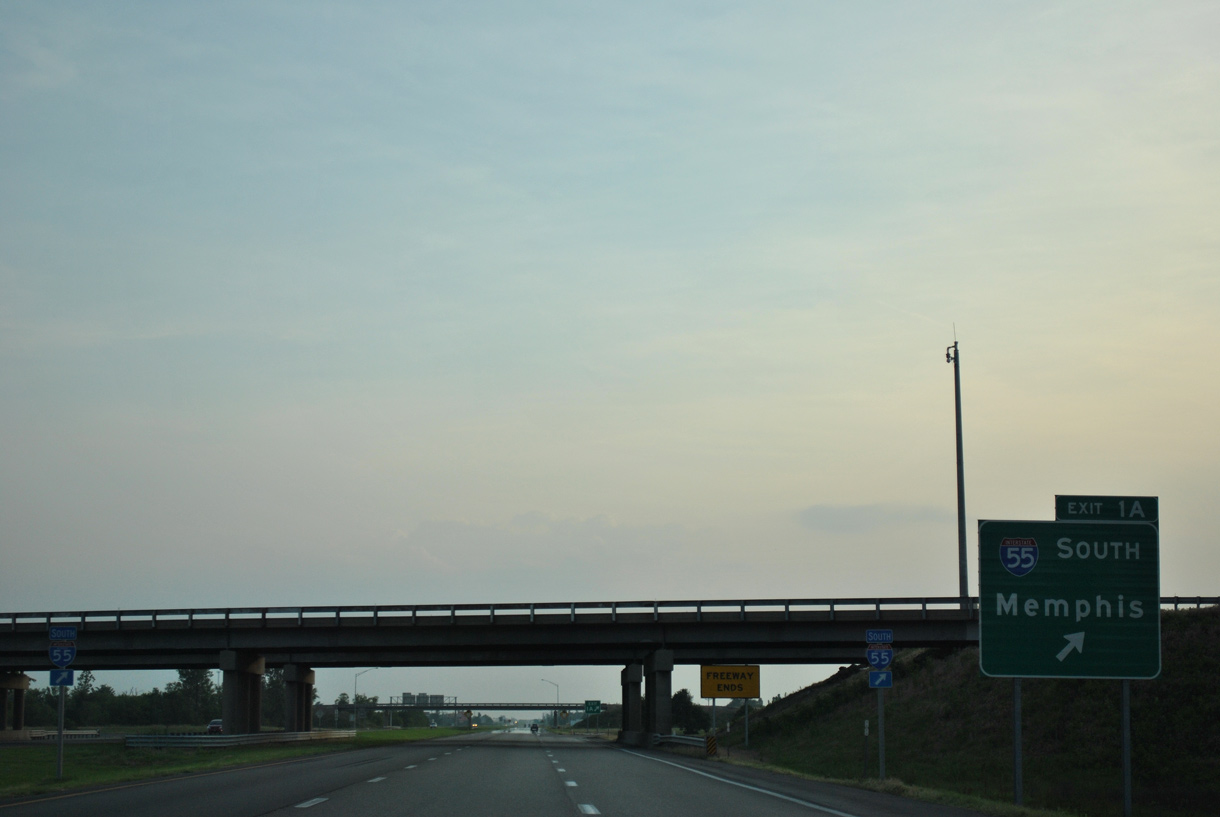
I-57/U.S. 60 converge with Interstate 55 at a cloverleaf interchange (Exit 1) along the Sikeston city line in two miles.
06/01/11
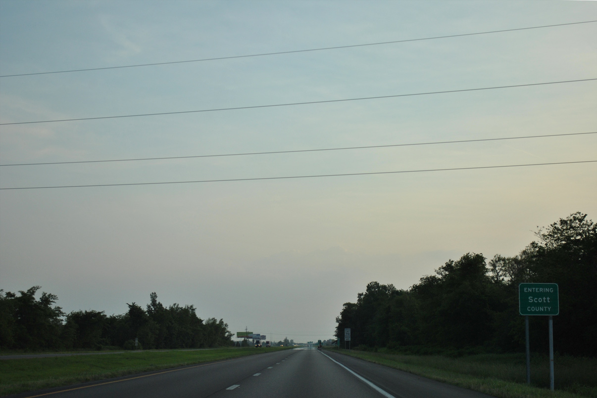
I-57/U.S. 60 enter Scott County 2.18 miles from the Interstate end by the Route AA overpass at Sikeston.
06/01/11
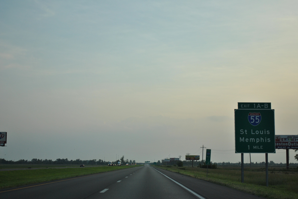
Interstate 55 is a major freight corridor connecting Sikeston with St. Louis to the north and Memphis, Tennessee to the south.
06/01/11
Interstate 57 south ends at I-55 for now but will eventually continue west to Poplar Bluff and south to I-40 in Little Rock, Arkansas.
06/01/11
Heading north from Sikeston and adjacent Miner, Interstate 55 travels to Cape Girardeau, Jackson and Perryville.
06/01/11
U.S. 60 travels west from Sikeston to Dexter, Poplar Bluff and Springfield. U.S. 61 parallels I-55 to the west, and the two converge at New Madrid.
06/01/11
Beyond New Madrid, Interstate 55 continues to I-155/U.S. 412 at Hayti, Blytheville, Arkansas and I-40 at West Memphis.
06/01/11
U.S. 60 transitions into an at-grade expressway west of the exchange with I-55 and Route AA.
06/01/11
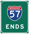

Photo Credits:
- ABRoads: 06/01/11
Connect with:
Page Updated Monday October 30, 2023.