
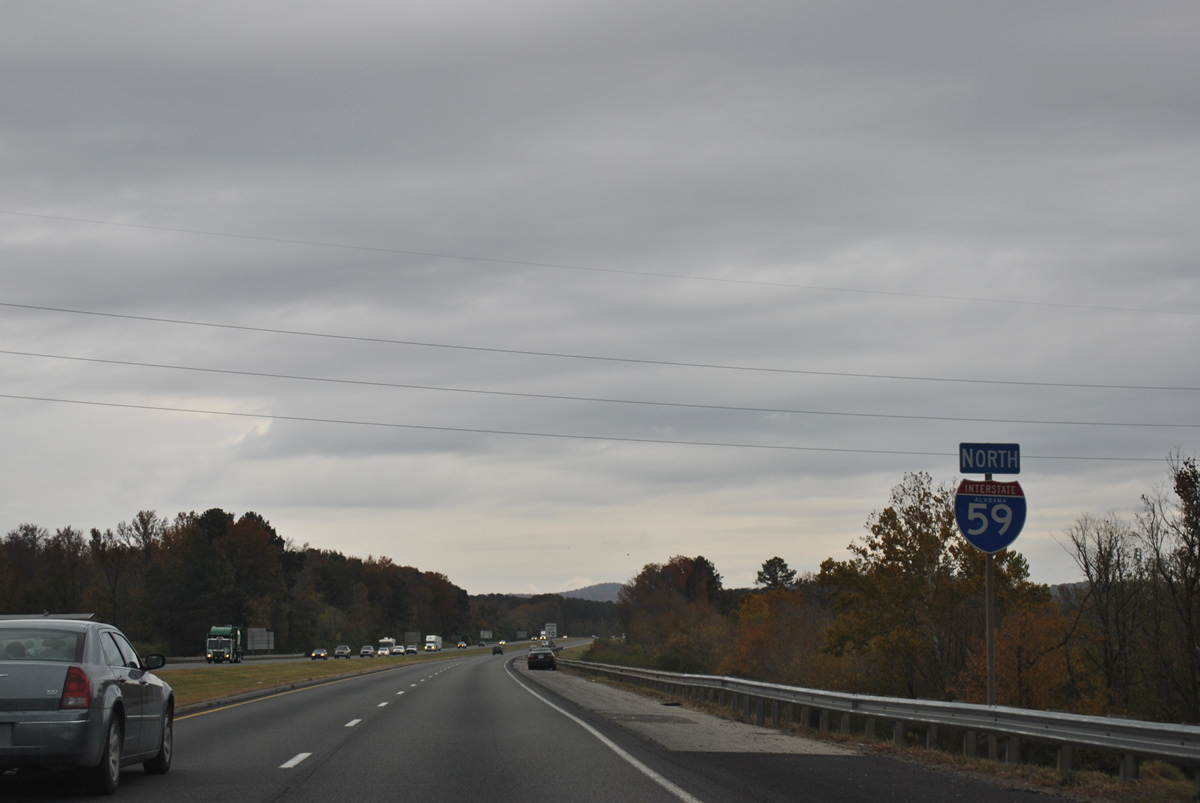
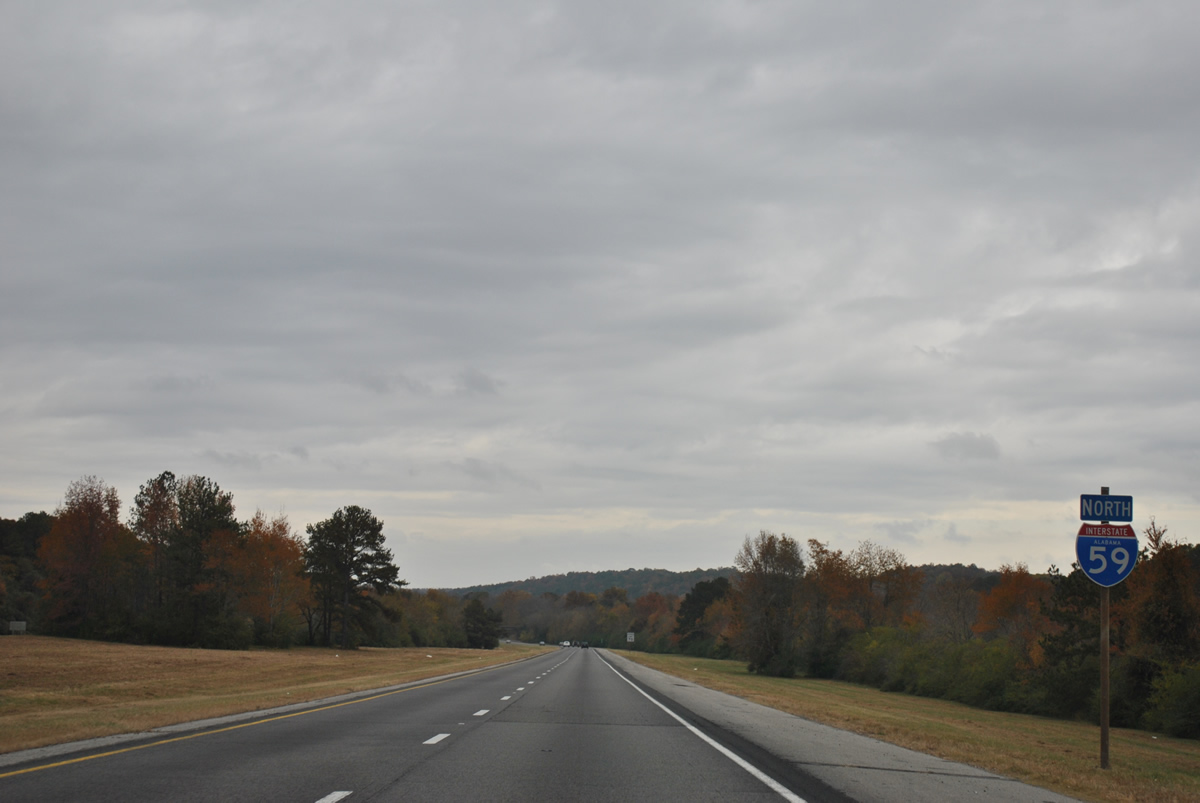
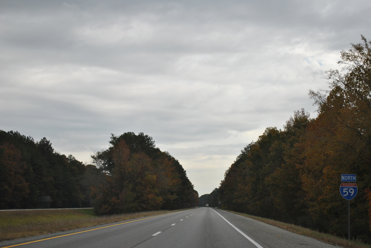
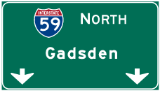
Interstate 59 North - Birmingham to Gadsden

Interstate 59 diverges northward from I-20 and crosses Aviation Avenue by the south approach to the Birmingham-Shuttlesworth International Airport (BHM) runways.
10/03/10
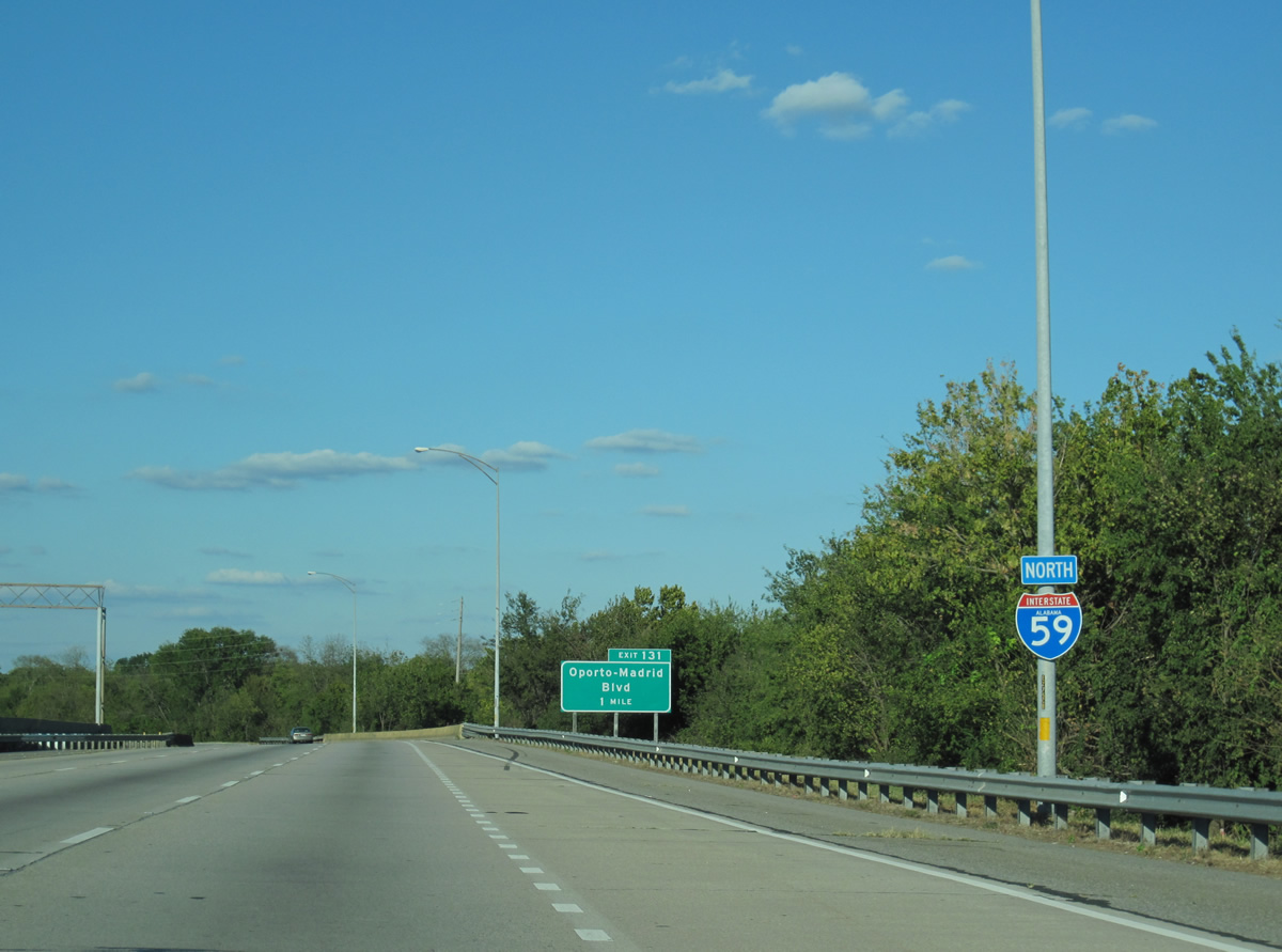
Interstate 59 northbound continues through the city of Birmingham to Exit 131 with Oporto-Madrid Boulevard. Oporto-Madrid Boulevard curves southward to Red Gap of Red Mountain and I-20 at Exit 132.
11/03/11
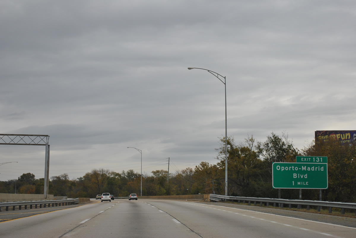
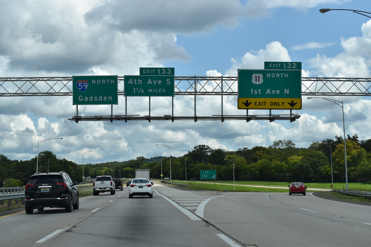
A pedestrian bridge spans I-59 north ahead of the half diamond interchange (Exit 131) with Oporto-Madrid Boulevard (Exit 131). Oporto-Madrid Boulevard links I-59 north with U.S. 11 (1st Avenue N) south while the wye interchange at Exit 132 links with U.S. 11 northbound directly.
09/11/20
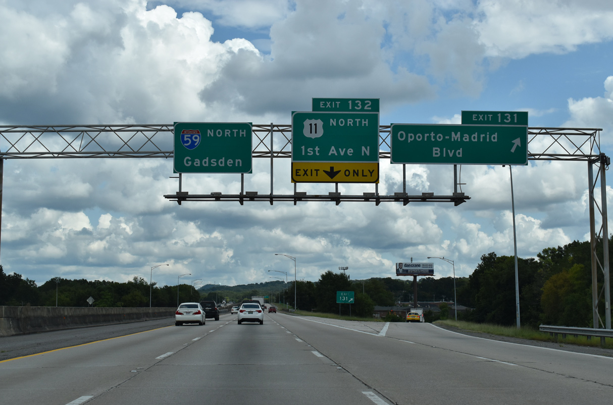
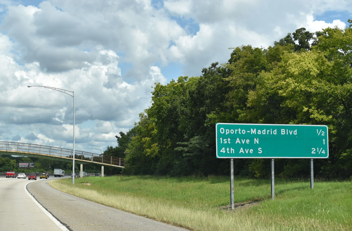
Exit 131 departs Interstate 59 north for Oporto-Madrid Boulevard to Trotwood Park and Gate City. U.S. 11 (1st Avenue N) switches sides with I-59 at Exit 132 and East Lake Park. 1st Avenue N runs through the East Lake neighborhood business district nearby.
09/11/20
The lane drop at Exit 132 reduces Interstate 59 northbound to two lanes ahead of Trussville.
09/11/20
Interstate 59 curves northeast from the Red Oak Road overpass toward Jones Valley.
09/11/20
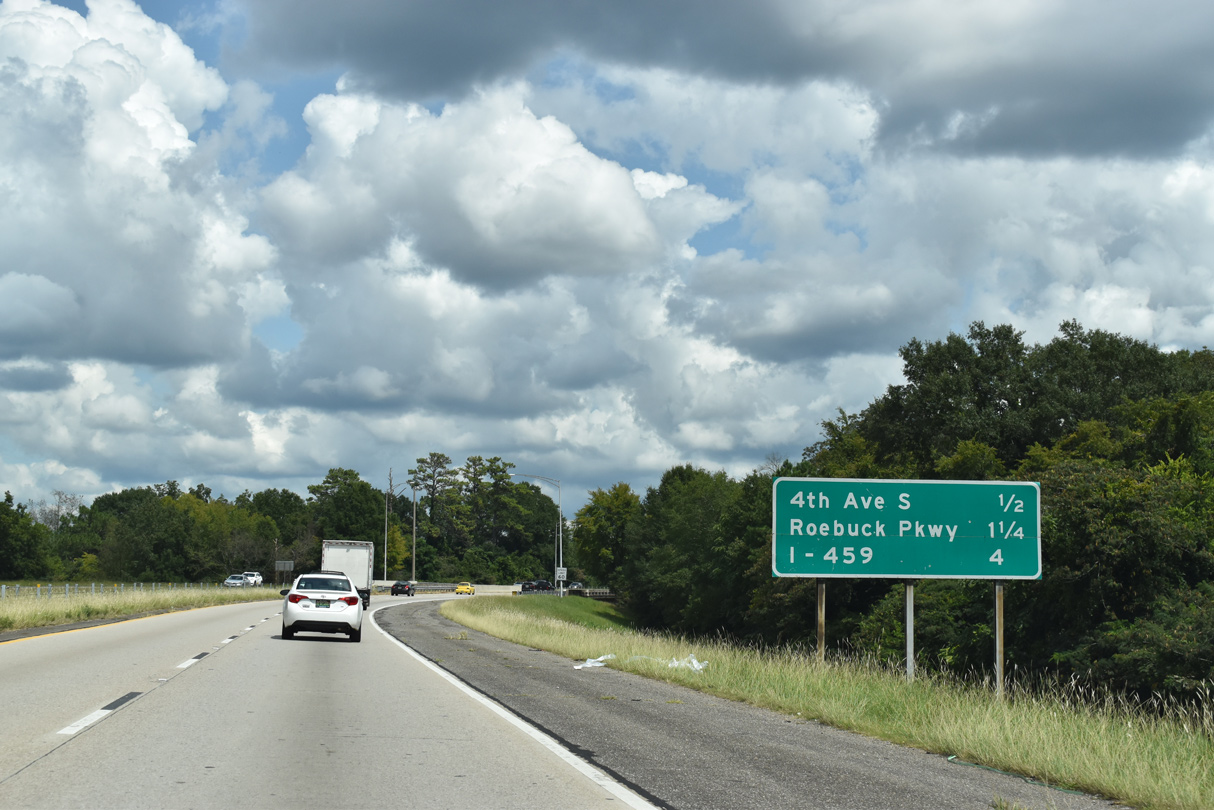
Serving the hilly Roebuck and South Highlands residential areas and Ruffner Mountain Nature Center, Exit 133 is a half diamond interchange joining I-59 with 4th Avenue S in a half mile.
09/11/20
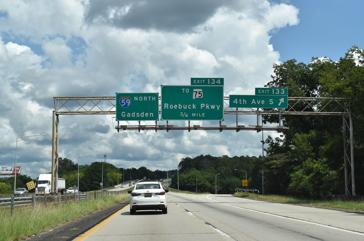
4th Avenue S ties into adjacent U.S. 11 (Parkway East) to the north. Parkway East separates from U.S. 11 to become part of SR 75 north from Exit 133 along Roebuck Parkway.
09/11/20
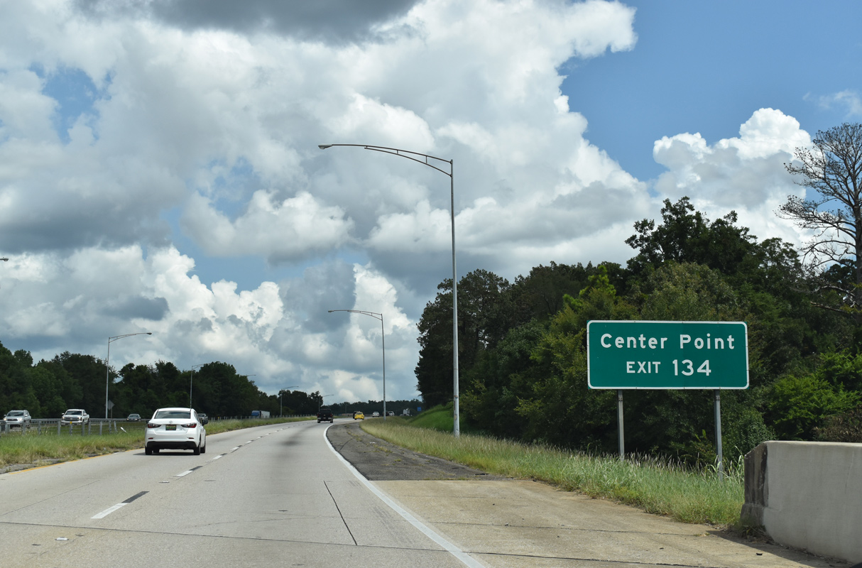
113.22 miles in length, forthcoming SR 75 travels north from Birmingham to Center Point, Pinson, Oneonta, Albertville and the Georgia state line in Dekalb County.
09/11/20
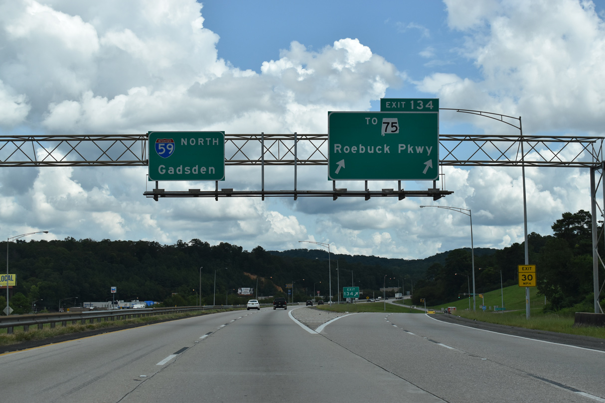
The diamond interchange at Exit 134 connects I-59 with Roebuck Parkway. SR 75 begins 0.07 miles south of Exit 134 at Eplanade Drive and leads north onto Parkway East through Huffman in Jones Valley.
09/11/20

Paralleling U.S. 11 (Gadsden Highway) to Sadler Gap on Red Mountain, Interstate 59 advances east from Jones Valley toward Irondale.
09/11/20
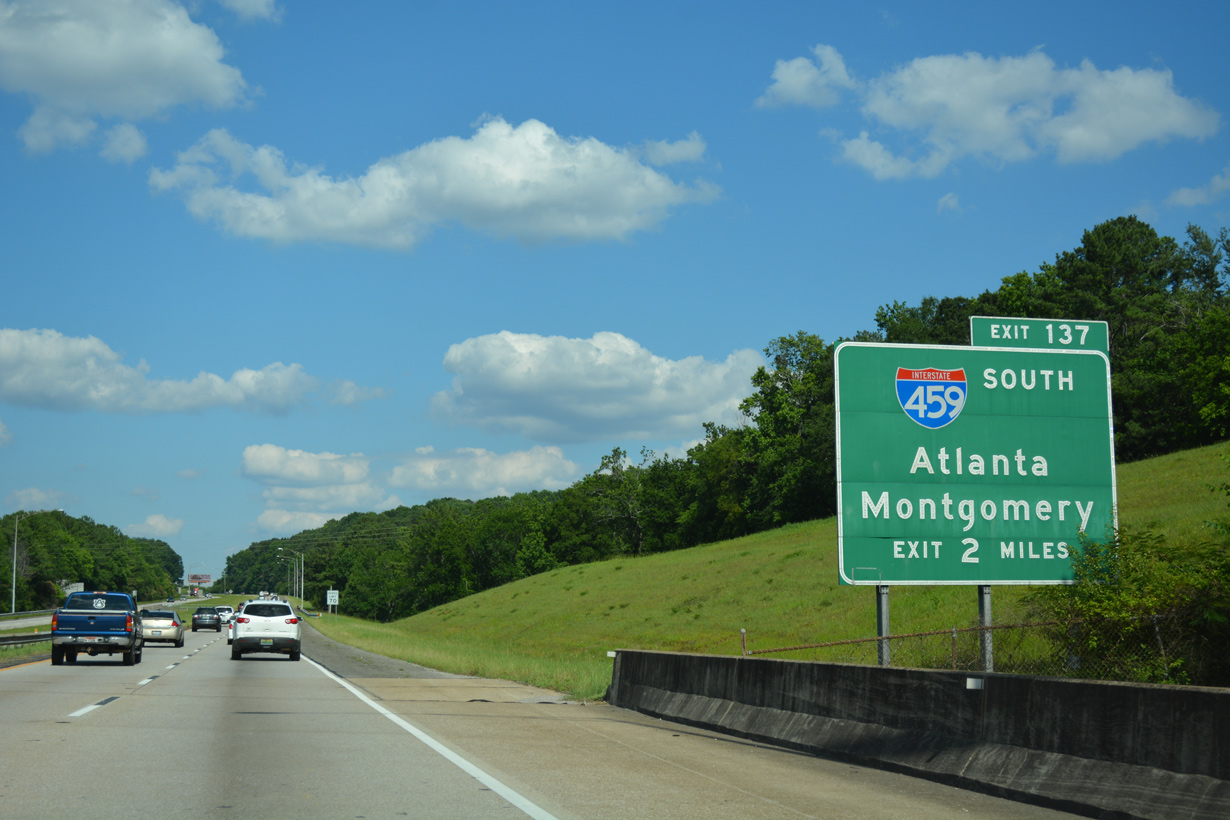
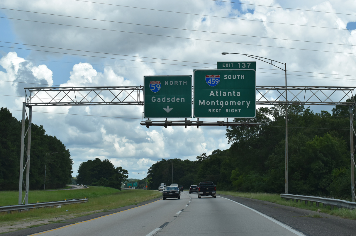
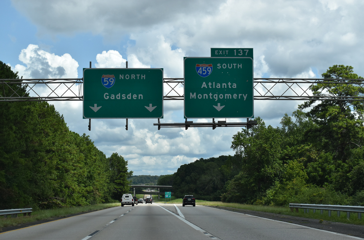
Valley Drive passes underneath I-59 between the Biscayne Highlands and Brookhurst neighborhoods two miles from Interstate 459. I-59 crests over Red Mountain ahead of Exit 137.
06/09/17
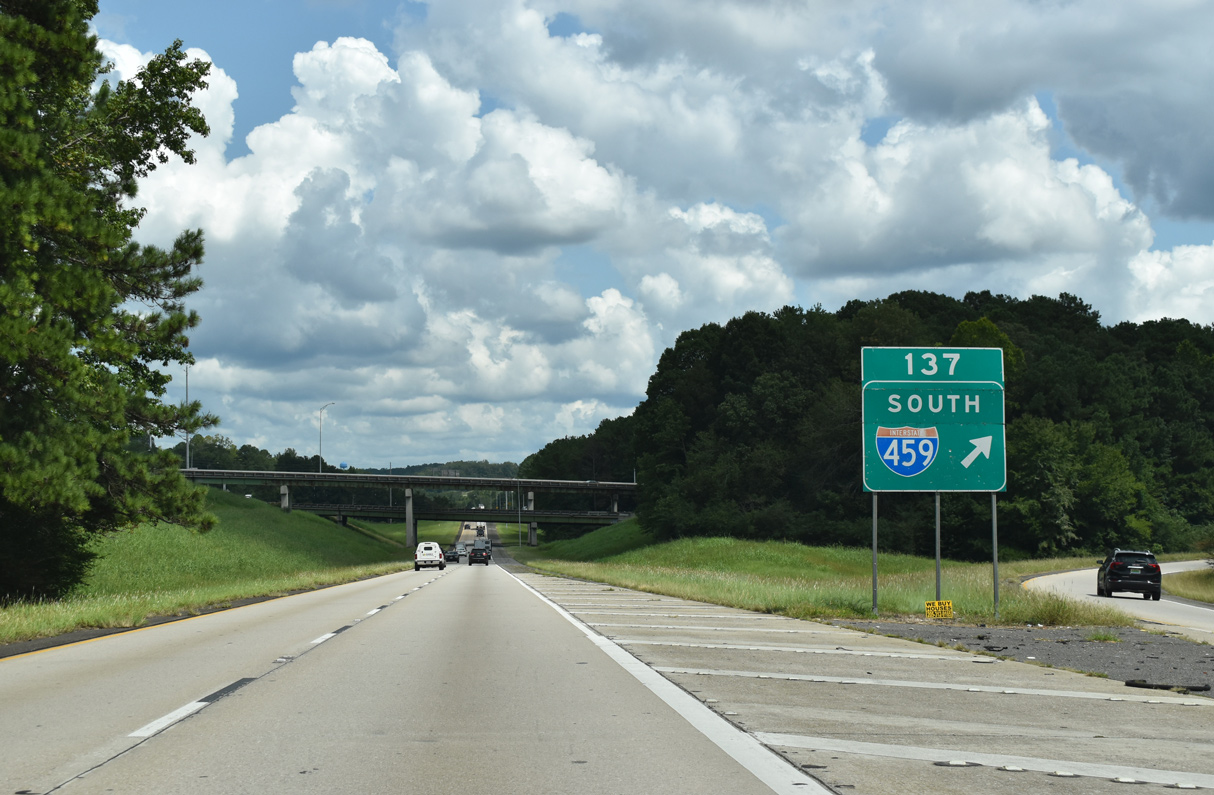
Interstate 459 south from Exit 137 to I-20 at Irondale opened to traffic in 1978.
09/11/20

I-459 wraps around the east side of Birmingham to I-20 at Exit 29 and I-65 at Exit 15. Nearby Exit 32 links I-459 with U.S. 11 (Gadsden Highway) northeast to Trussville.
09/11/20
Southwest from Irondale, Interstate 459 passes through the suburban cities of Mountain Brook, Vestavia Hills and Hoover.
09/11/20
Interstate 459 leads 33.55 miles southwest from Exit 137 to I-59/20 at Bessemer.
09/11/20
The first two exits from Interstate 459 south are located within the Birmingham city limits by the community of Alton.
09/11/20
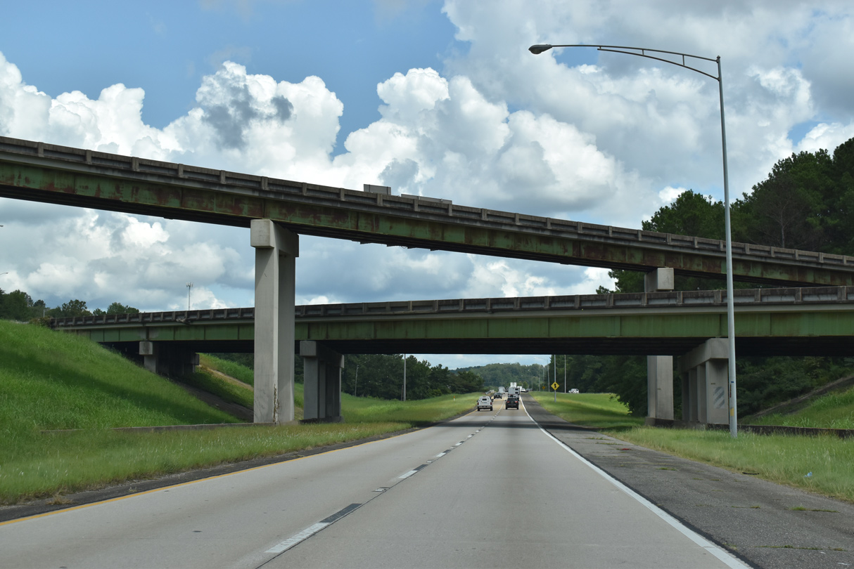
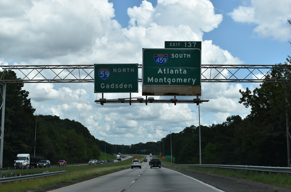
A three-wye interchange joins I-59/459 at Exit 137.
09/11/20
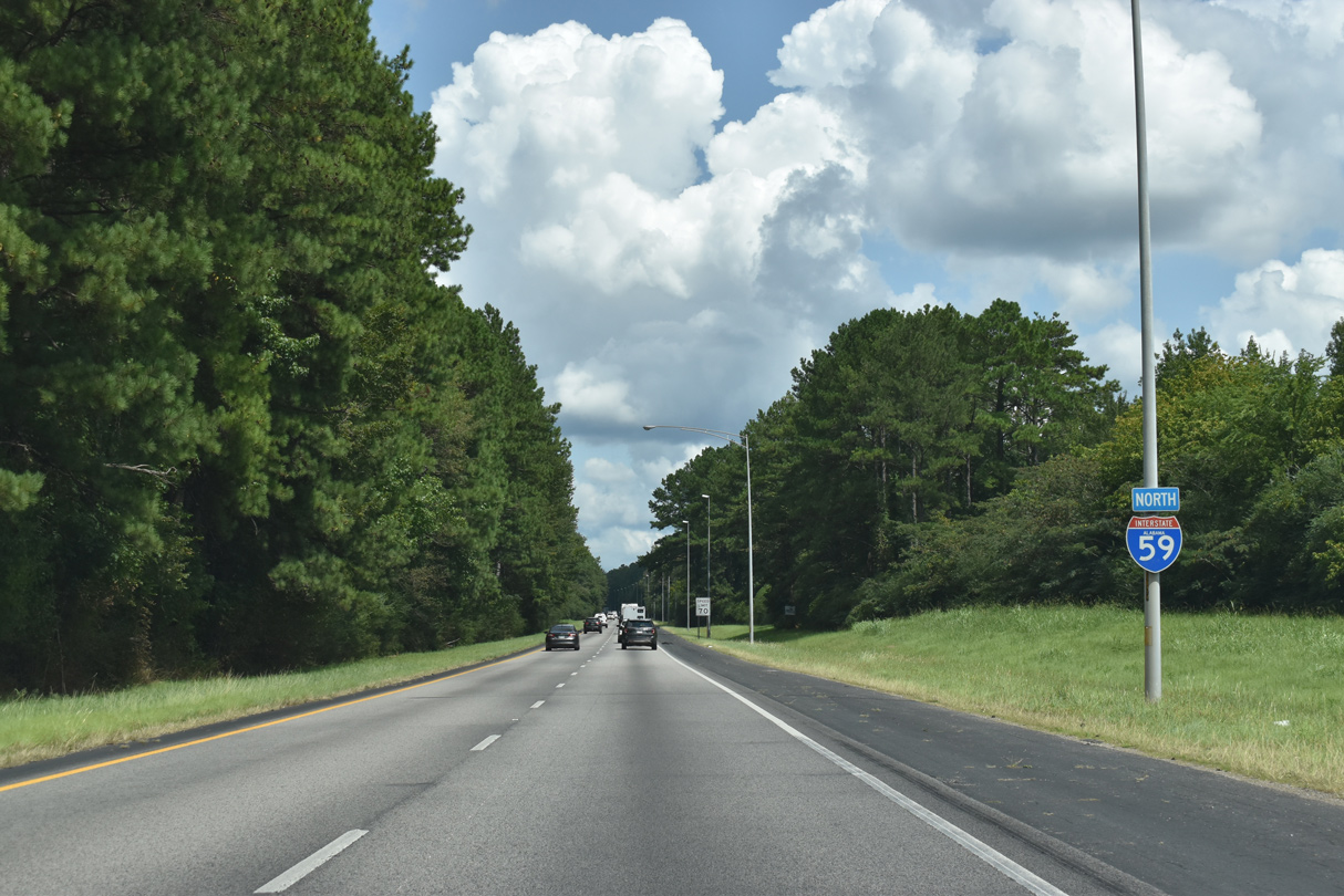
Interstate 59 runs along Pinchgut Creek through a valley between Red and Little Sand Mountains into the city of Trussville.
09/11/20
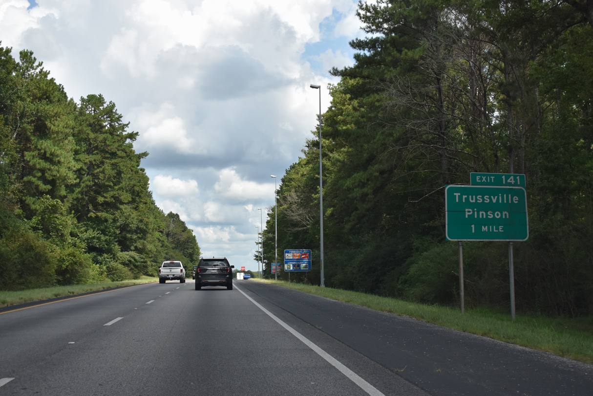
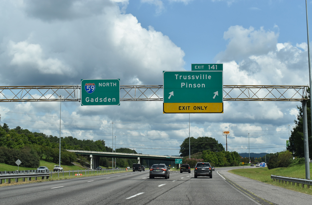
Still within the Birmingham metropolitan area despite the forested setting, Interstate 59 advances to within one mile of the busy diamond interchange (Exit 141) with Chalkville Road.
09/11/20

A third lane opens on I-59 north ahead of Exit 141 to Chalkville Road. Chalkville Road leads 1.84 miles south from the freeway to Downtown Trussville and U.S. 11 (Main Street).
09/11/20
Numerous travel amenities and retail line Chalkville Road northwest across Red Mountain to the community of Chalkville in southwestern Clay.
09/11/20
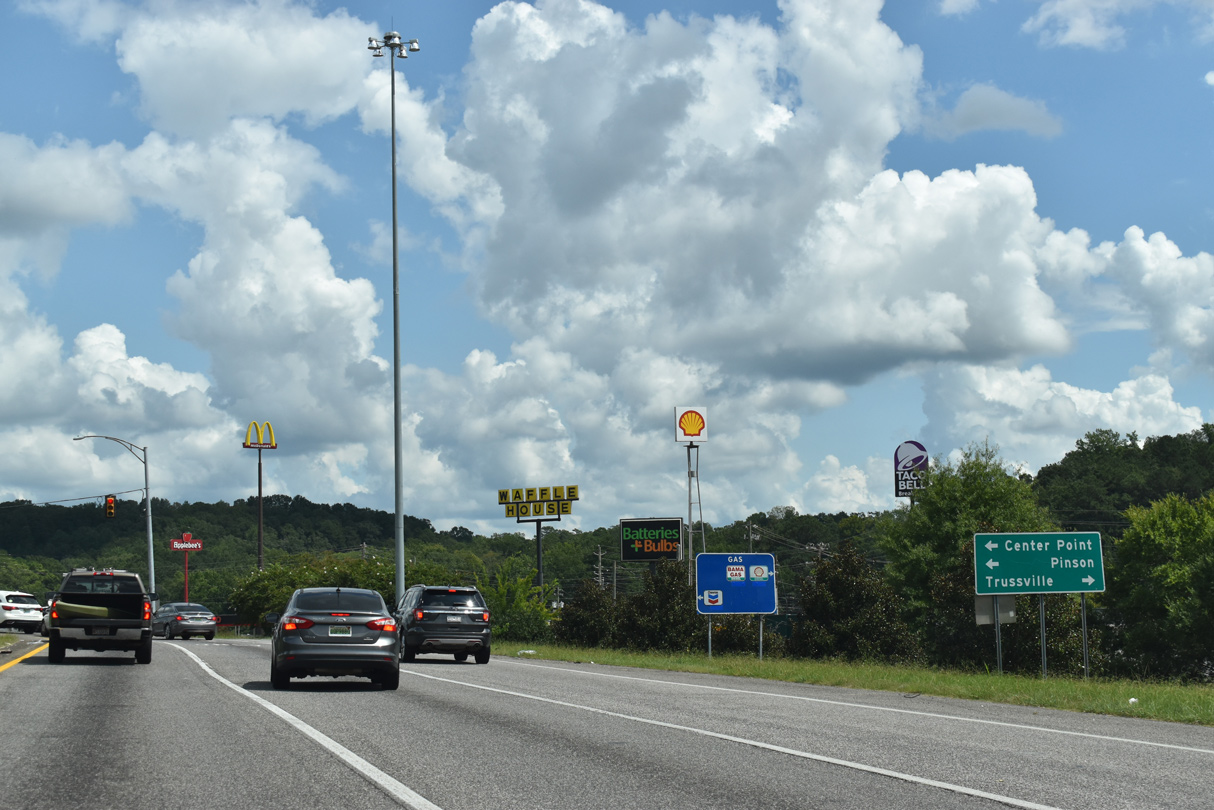
The suburb of Pinson is reached from Exit 141 via Chalkville Road west to either Tyler Loop or Sweeney Hollow Roads north from Chalkville beyond Center Point.
09/11/20
Interstate 59 curves east from alongside Red Mountain into Vann Valley.
11/03/11
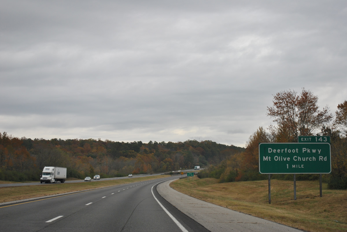
The Cahaba River begins at Red Mountain and flows southward to Vann Valley, Trussville and Hoover in Shelby County. The river comprises just a small stream under Interstate 59 in this scene at the one mile guide sign for Exit 143 and Deerfoot Parkway.
11/03/11
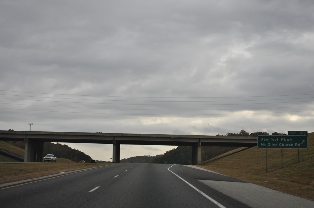
Deerfoot Parkway widens into a four lane divided highway within the vicinity of folded diamond interchange (Exit 143) with Interstate 59. Happy Hollow and Mt. Olive Church Roads tie into the interchange along the I-59 frontage from the west.
Mt. Olive Church Road spurs west to a local church. The road was built over with Deerfoot Parkway on its north-south component to Happy Hollow Road when Exit 143 opened in 1989.
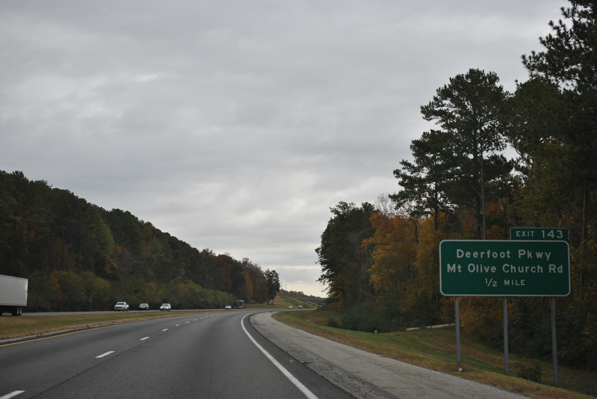
11/03/11
Exit 143 loops away from Interstate 59 north to Deerfoot Parkway. The road climbs Red Mountain to the city of Clay and Old Springville Road. Southward, Deerfoot Parkway concludes at U.S. 11 (Gadsden Highway) in Trussville.
11/03/11
Interstate 59 sweeps eastward from Happy Hollow around Cedar Mountain toward Hubbards Lake. The forthcoming stretch is the proposed location for the east end of Interstate 422, the North Birmingham Belt Line.
11/03/11
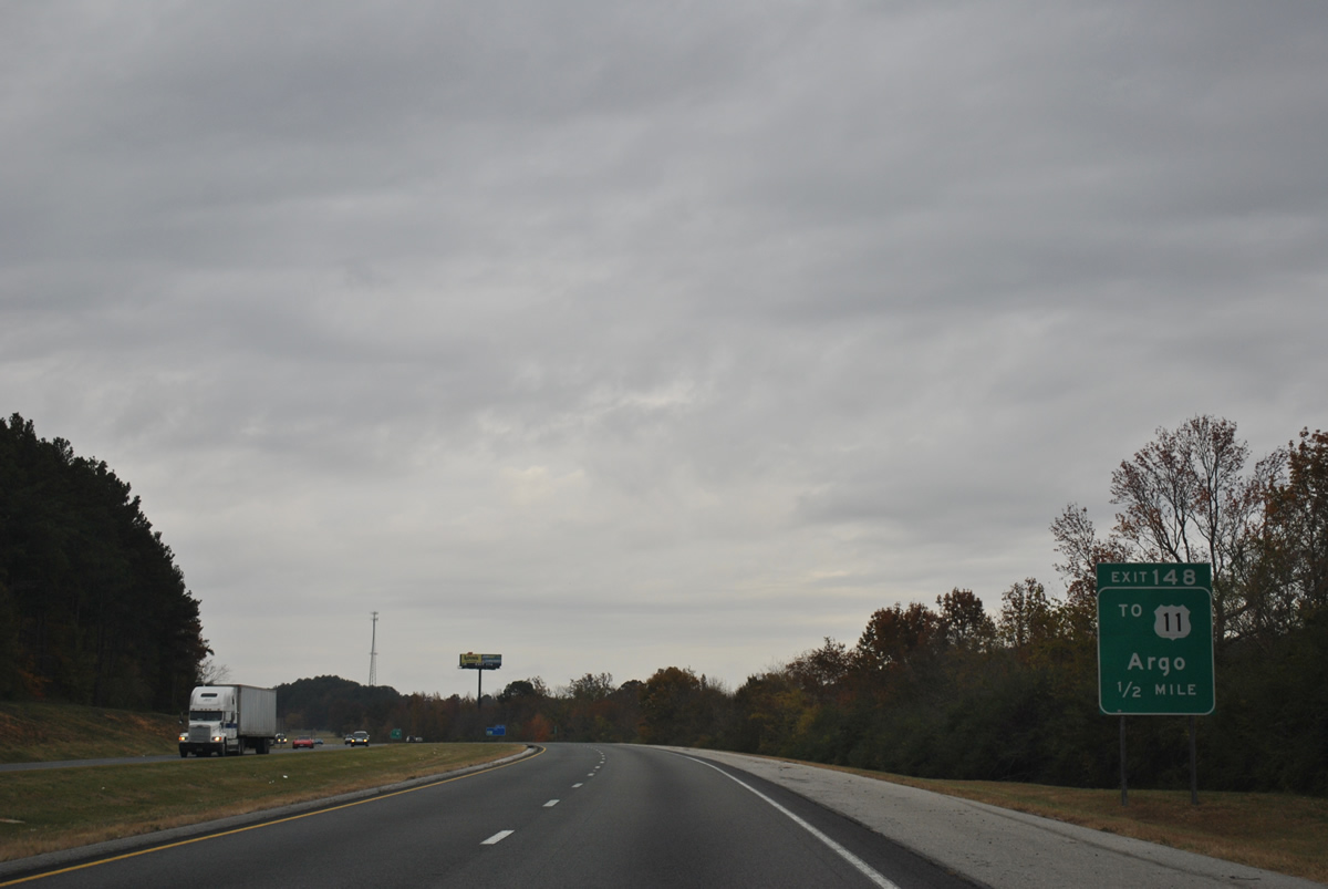
U.S. 11 (Gadsden Highway) again travels close to Interstate 59 ahead of the diamond interchange (Exit 148) with Liles Lane.
11/03/11
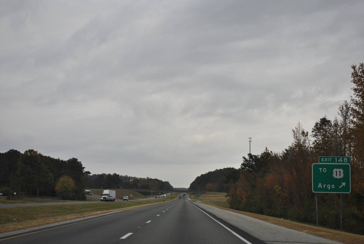
Liles Lane comprises an east-west connector between Interstate 59 and U.S. 11 at the town of Argo. The local road ties in with Advent Circle south into Trussville to the west.
11/03/11
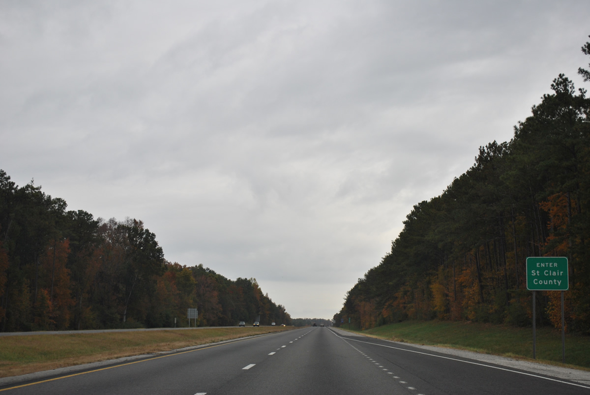
Interstate 59 crosses into St. Clair County just north of the Exit 143 on-ramp from Liles Lane.
11/03/11
Reassurance marker posted within the town limits of Argo on northbound I-59.
11/03/11
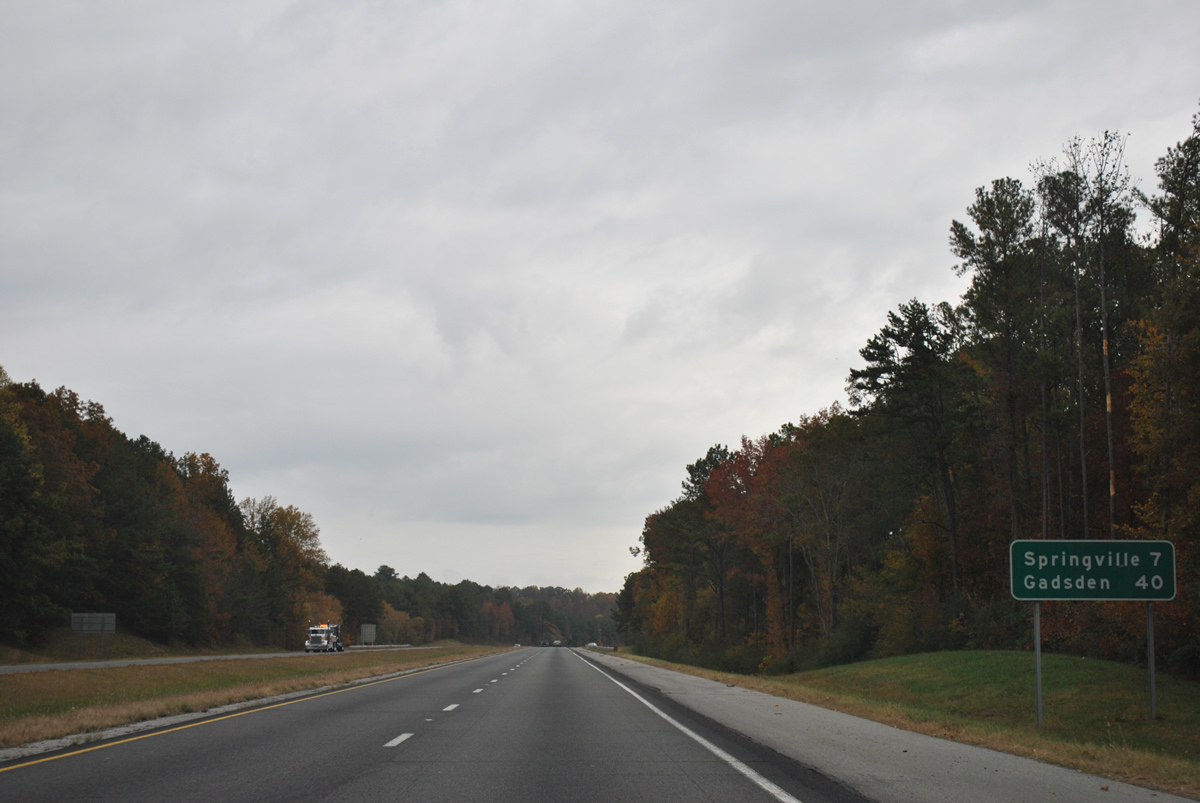
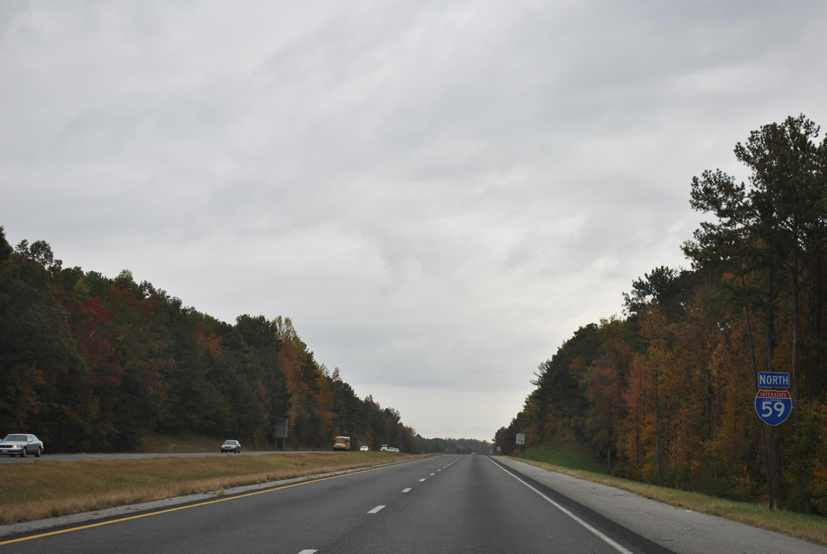
The city of Springville is next along Interstate 59 north in seven miles. Gadsden is a 40 mile drive still.
11/03/11
U.S. 11 and Interstate 59 swap sides as the freeway turns onto the western slope of Simmons Mountain.
11/03/11
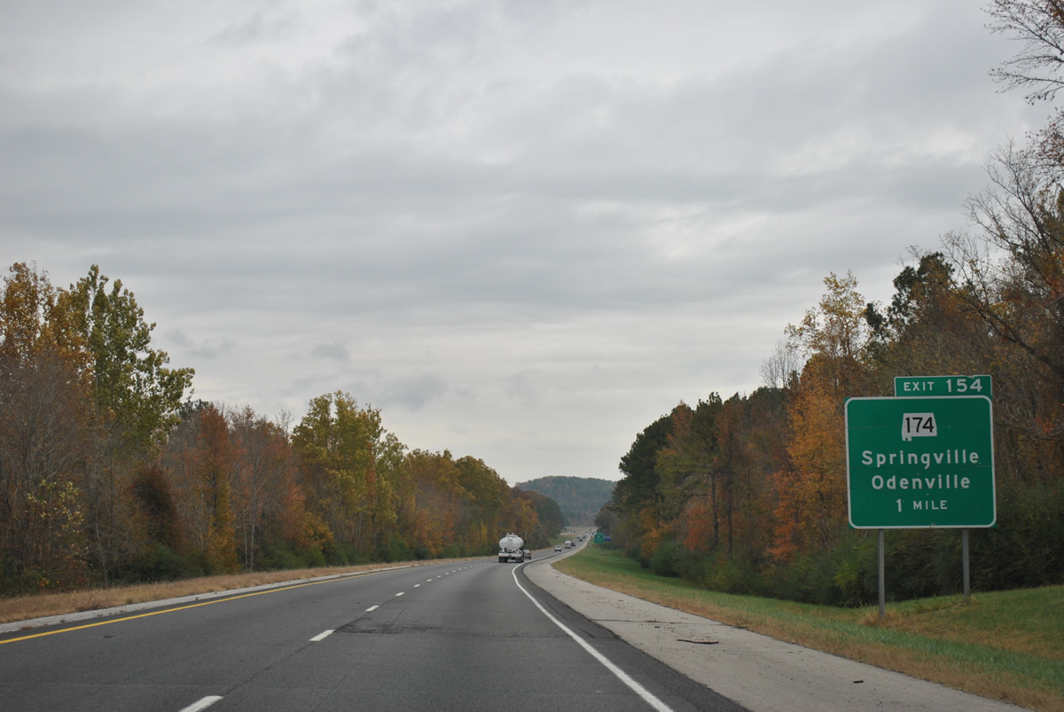
SR 174 provides the first of two routes into Springville from Interstate 59 at Exit 154 in one mile.
11/03/11
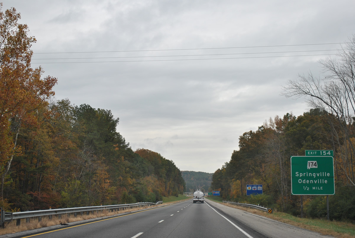
One half mile south of the Exit 154 diamond interchange with SR 174 (Marrieta Road) on Interstate 59 north. SR 174 ends at U.S. 11 (Main Street) and County Road 9 (Muphrees Valley Road) in Springville.
11/03/11
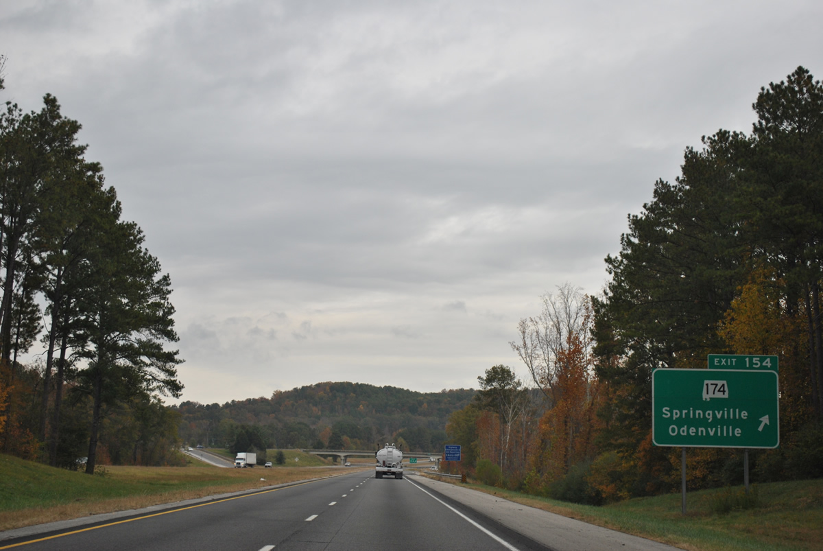
Exit 154 departs Interstate 59 north for SR 174 (Marrieta Road). SR 174 parallels Little Canoe Creek through a valley southeast from I-59 between Jones and Simmons Mountain. The state route connects Springville with Odenville and U.S. 411, 7.81 miles to the south.
11/03/11
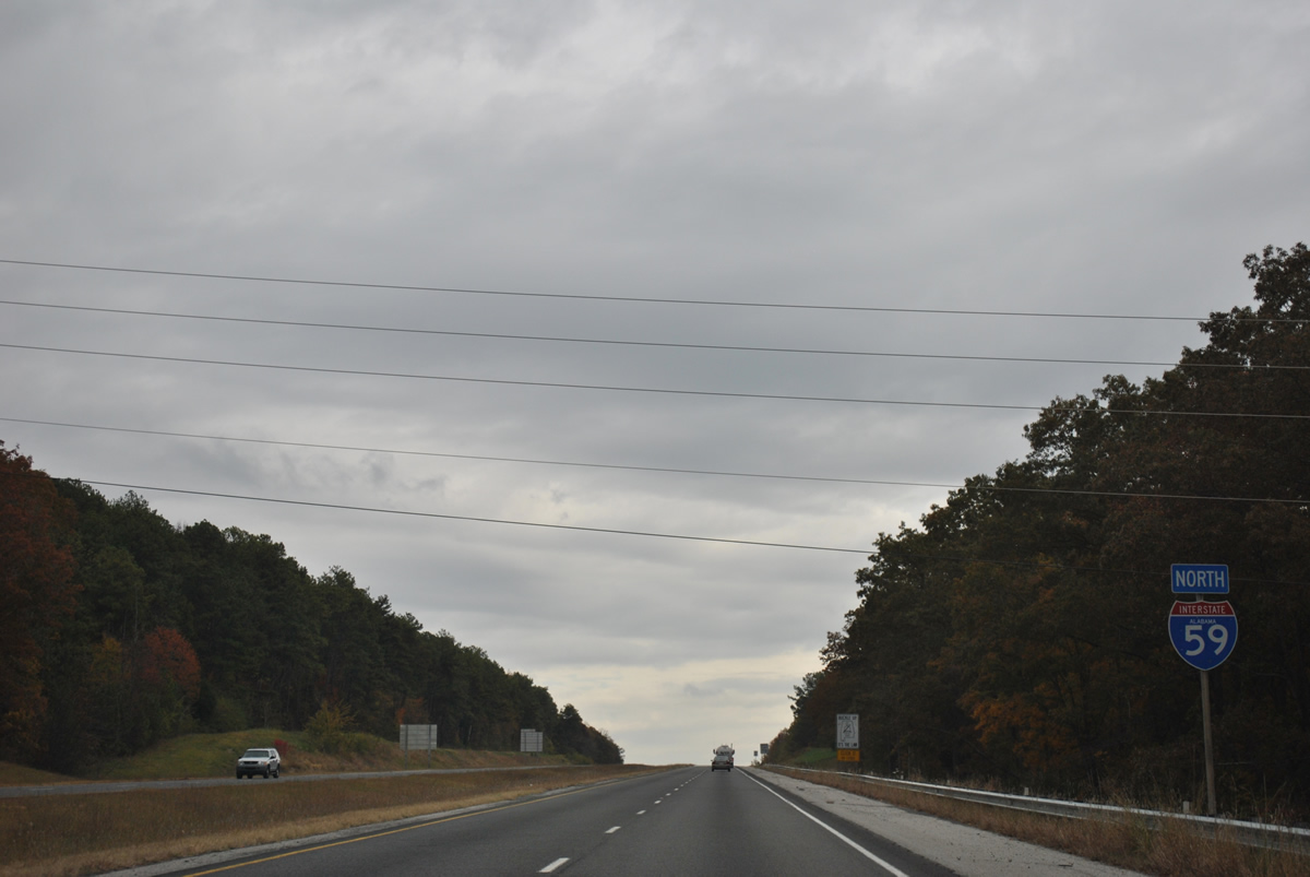
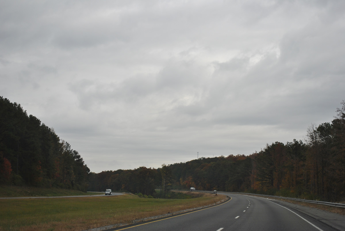
Turning more easterly, Interstate 59 rises along the north side of Jones Mountain on the drive away from Springville.
11/03/11
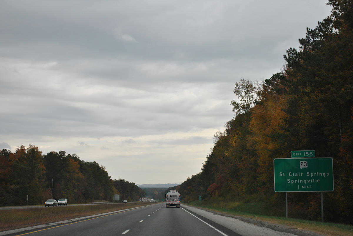
SR 23 ties Interstate 59 with U.S. 11 (Main Street) at the east end of Springville in one mile (Exit 156).
11/03/11
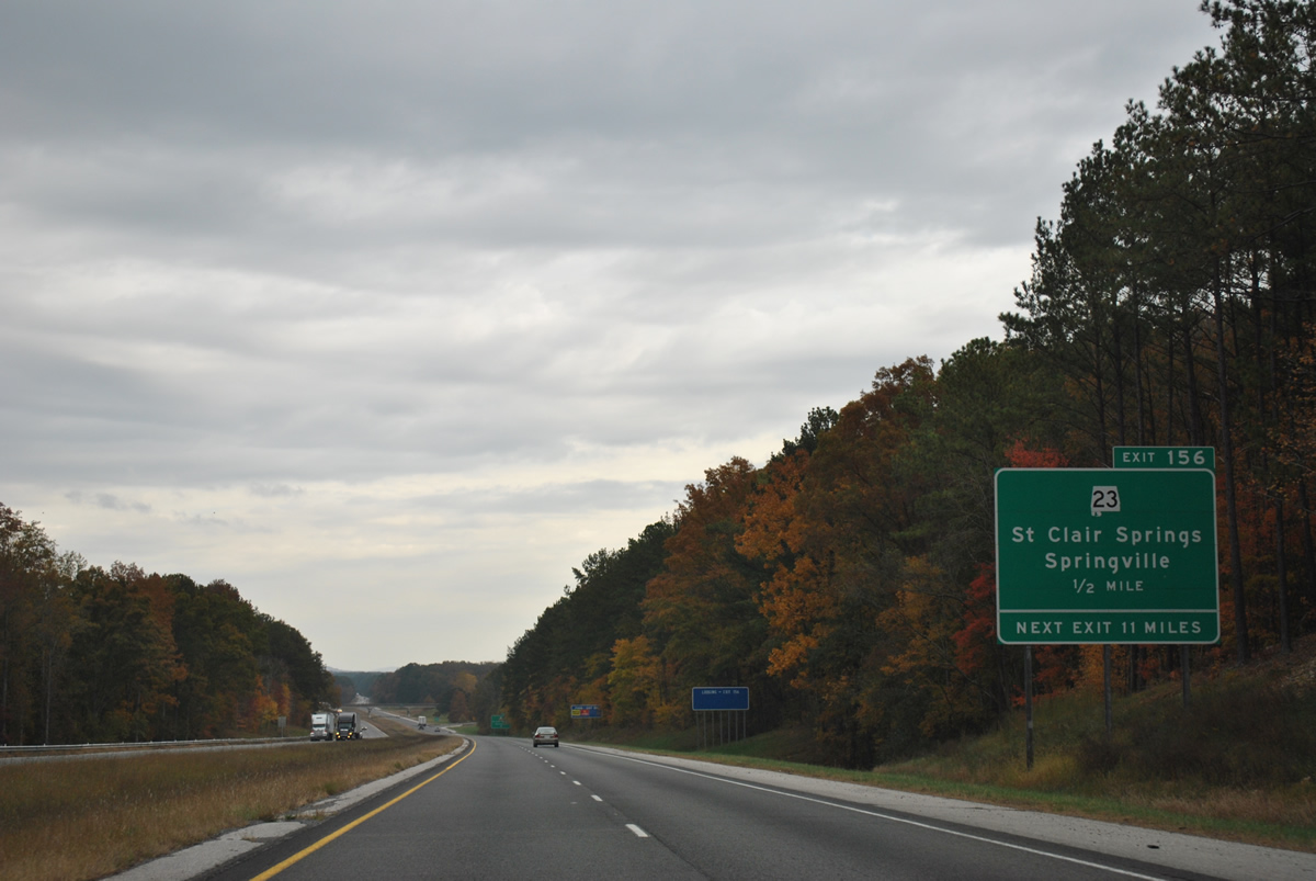
SR 23 totals just 12.61 miles from Springville east to U.S. 231 at Ashville. Long exit less stretches become more common as Interstate 59 lines the Appalachian Mountains northeast to Georgia.
11/03/11
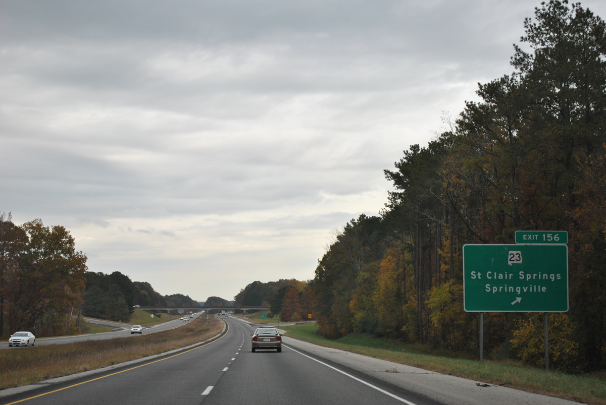
Northbound Interstate 59 at the ramp departure of Exit 156 to SR 23. SR 23 winds 1.82 miles east to St. Clair Springs and 6.98 miles along Barker Mountain to Cool Springs.
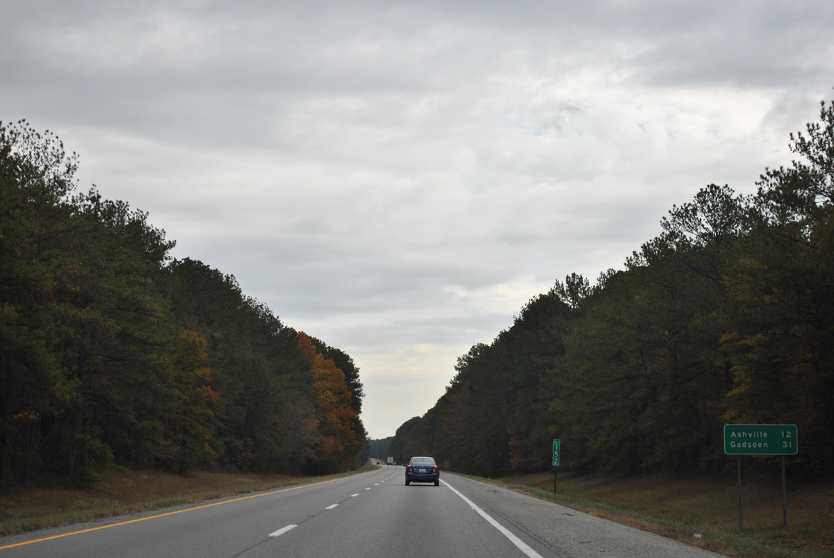
11/03/11
Continuing north, travelers along Interstate 59 venture 12 miles to Ashville and 31 miles to Gadsden.
11/03/11
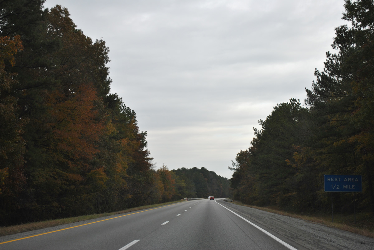
Interstate 59 north passes by Pinedale Lake on the half mile approach to a northbound side rest area near Pinedale Shores.
11/03/11
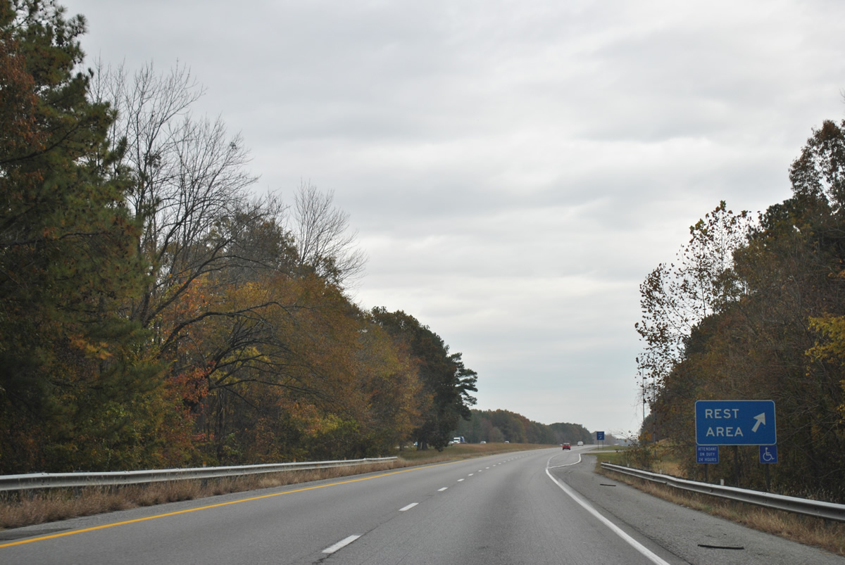
Drivers northbound reach the final rest area of Interstate 59. There is no facility in Georgia along I-59. Instead the next rest area for northbound travelers is the Interstate 24 welcome center ahead of Exit 174 by Lookout Mountain in Tennessee.
11/03/11
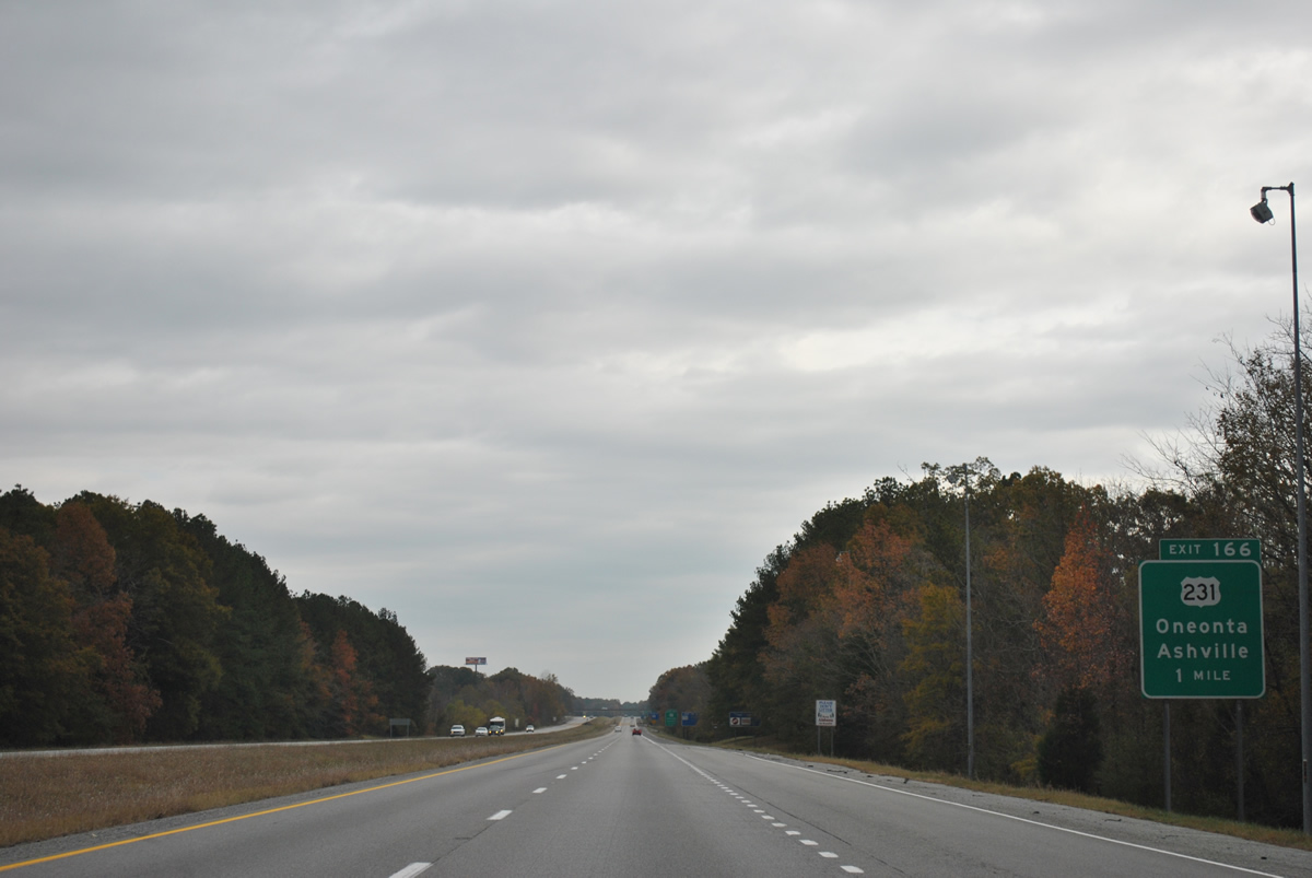
U.S. 231 and Interstate 59 meet on the north side of Ashville at a diamond interchange (Exit 166) in one mile.
11/03/11
Waters of Muckleroy Creek flow under Interstate 59 on the half mile approach to Exit 166. U.S. 231 leads 2.69 miles southeast to U.S. 411 in the Ashville city center. Northward the US highway continues 14 miles to the Blount County seat of Oneonta.
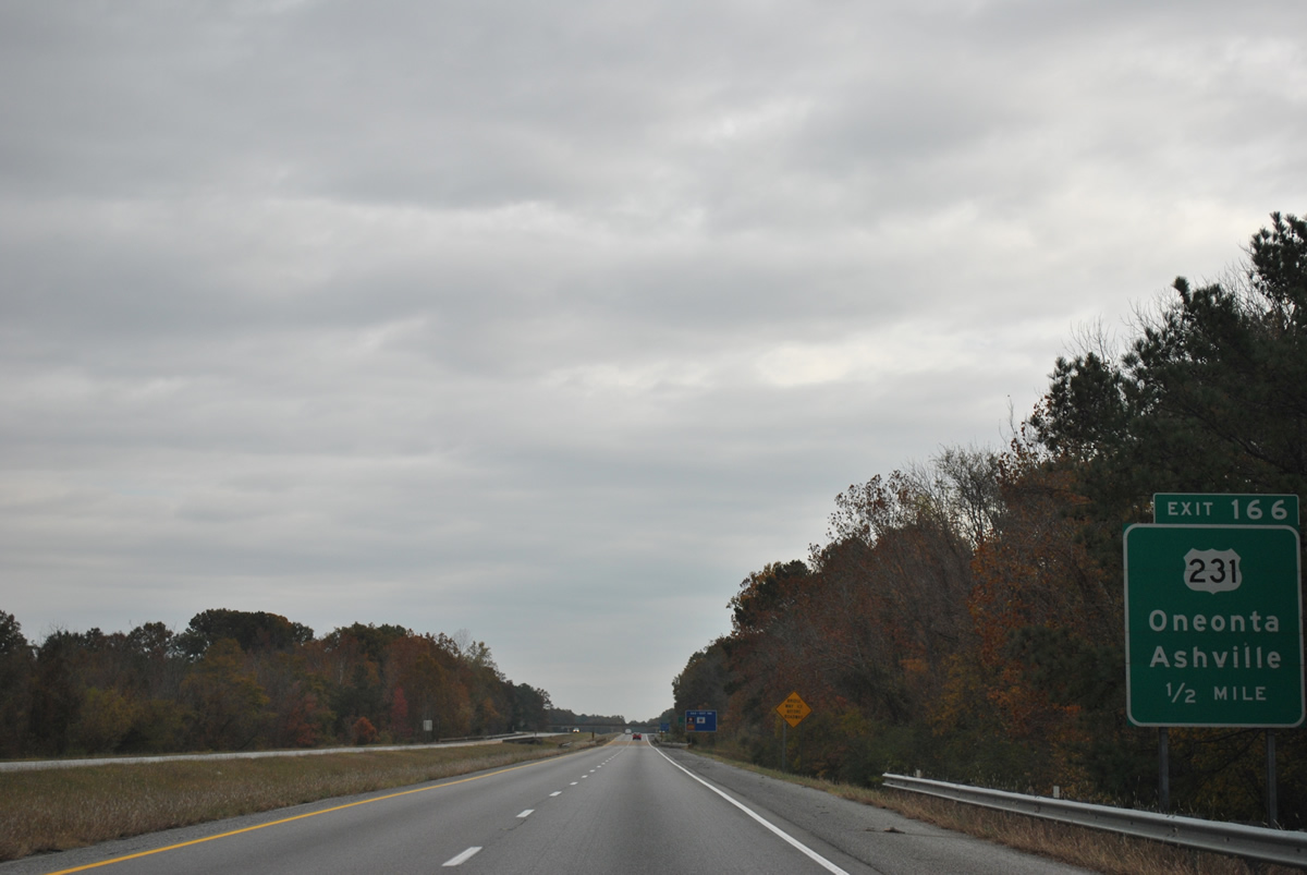
11/03/11
Exit 166 leaves Interstate 59 north for U.S. 231, 1.12 miles southeast of Whitney Junction and U.S. 11. U.S. 231 stretches 912 miles across five states from Panama City, Florida to St. John, Indiana.
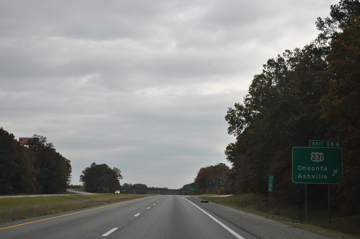
11/03/11
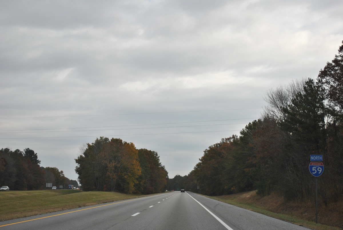
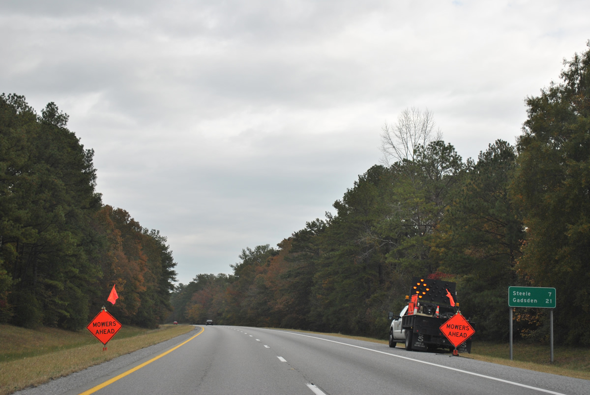
Roadways of Interstate 59 separate for most of the drive northeast from Ashville to the town of Steele through Canoe Creek Valley.
11/03/11

Steele Station Road stems southeast from U.S. 11 (Main Street) to meet Interstate 59 at a diamond interchange (Exit 174) in Steele.
11/03/11
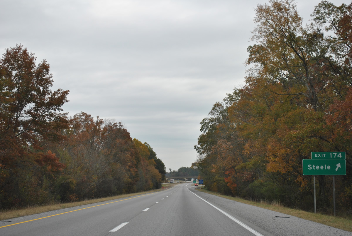
East from Exit 174, Steele Station Road journeys to Rainbow City, Northeast Alabama Regional Airport and Black Creek Parkway into South Gadsden.
11/03/11
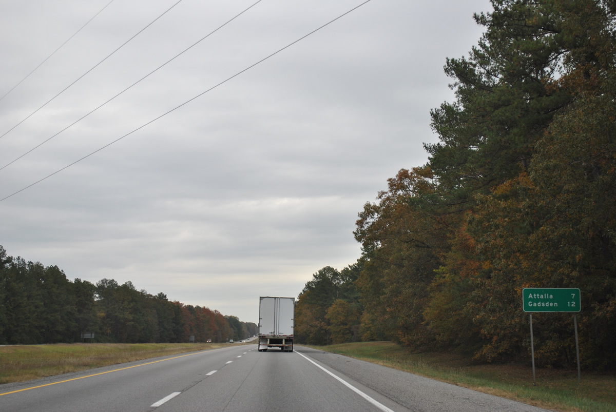
Bending more to the east, Interstate 59 leaves Steele and presses through Canoe Creek Valley on the seven mile drive to Attala. Downtown Gadsden is now 12 miles away.
11/03/11
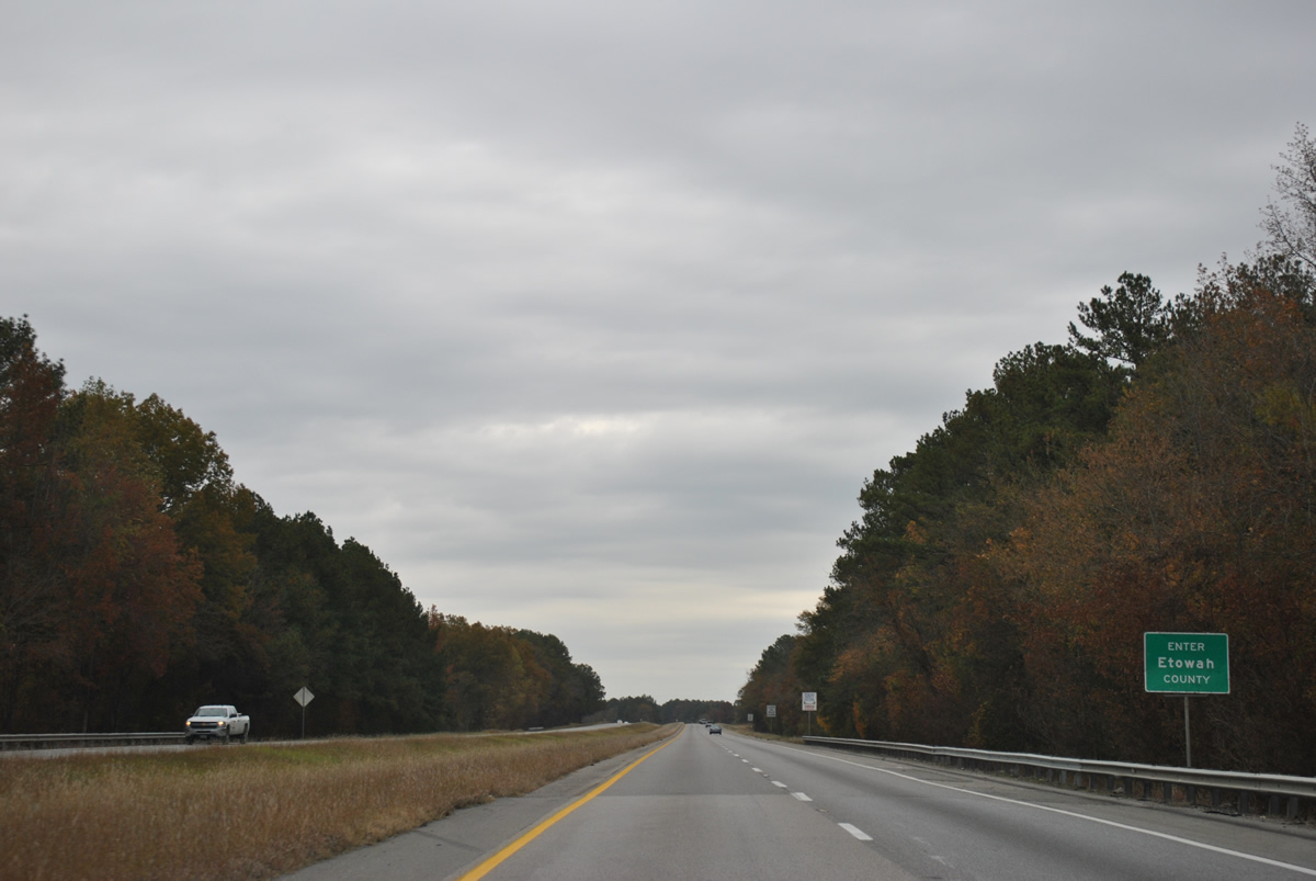
Spanning Little Canoe Creek, Interstate 59 enters Etowah County. The county founded on December 7, 1866 derives its name from the Cherokee word for "edible tree".1
11/03/11
References:
- Etowah County, Alabama. Wikipedia.
Photo Credits:
- ABRoads: 10/03/10, 11/03/11, 09/11/20
- Alex Nitzman: 06/09/17
Connect with:
Page Updated Tuesday December 19, 2023.