
Interstate 59 South - Georgia to Gadsden

 South
South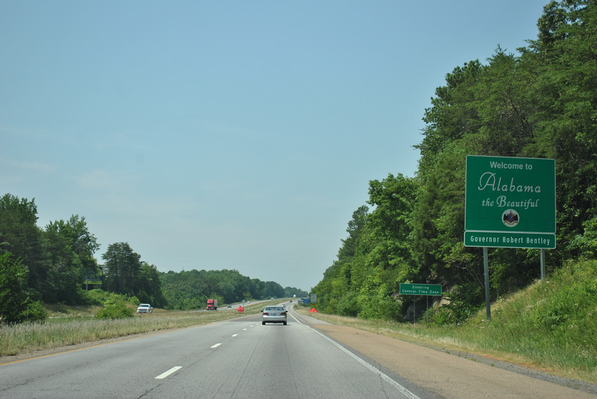
Welcome to Alabama sign posted after the Georgia state line near the I-59 crossing of Red River Branch.
06/25/12
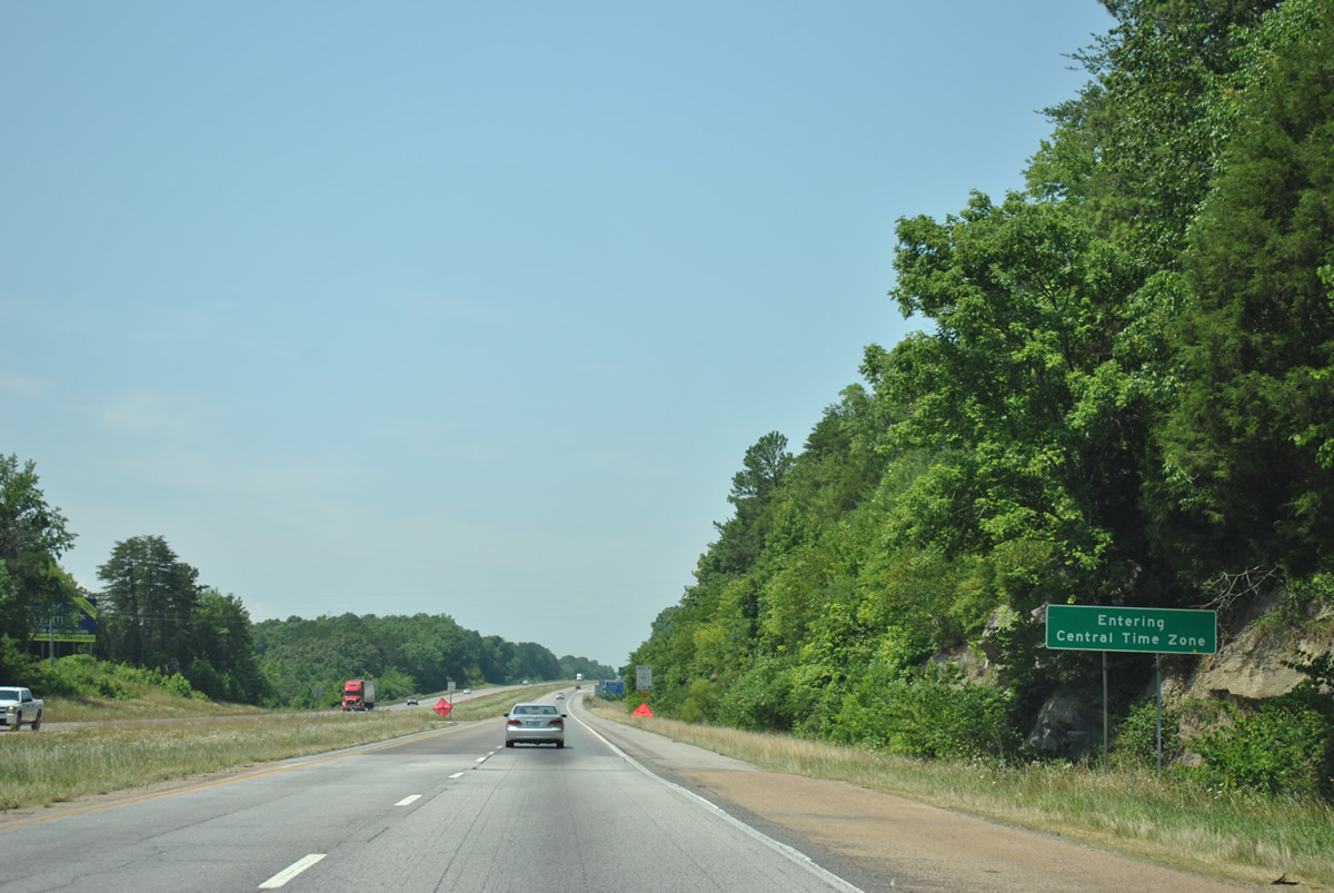
The Alabama and Georgia state line marks the boundary between Eastern and Central Time Zones. Drivers along Interstate 59 southbound gain an hour.
06/25/12
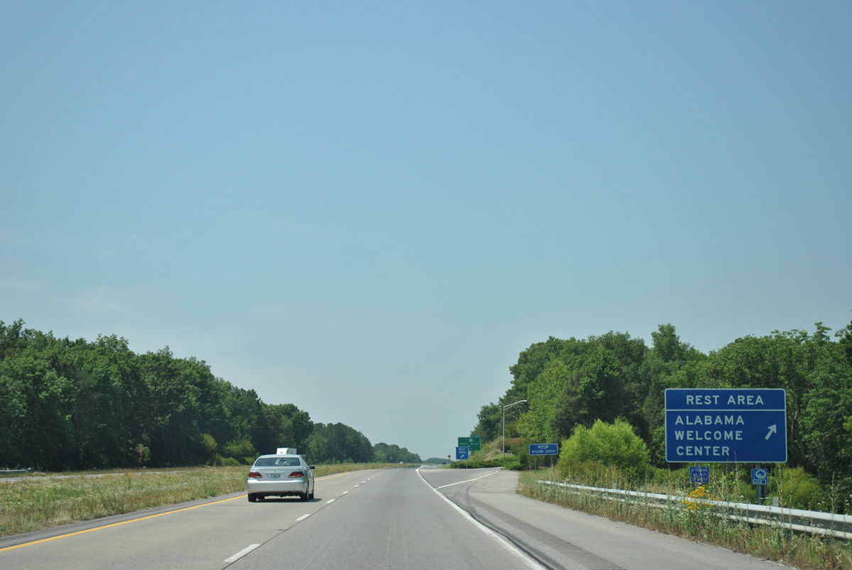
A tourist information center and rest area follow along the southbound side near Red River Branch and Fox Mountain.
06/25/12
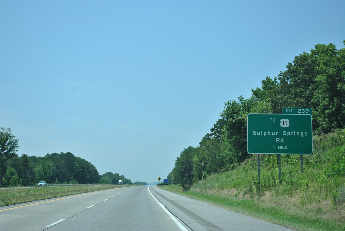
The first exit within the Heart of Dixie joins Interstate 59 with Dekalb County 140 near the settlement of Sulphur Springs.
06/25/12
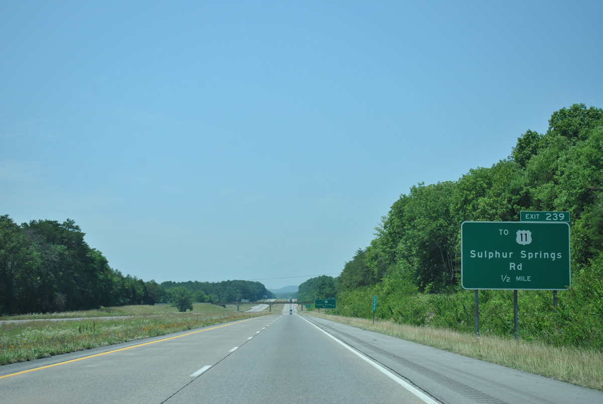
One half mile out from the Exit 239 diamond interchange with Dekalb County 140 (Sulphur Springs Road). U.S. 11 parallels the freeway closely along the east side from Rising Fawn, Georgia to Rodgers.
06/25/12
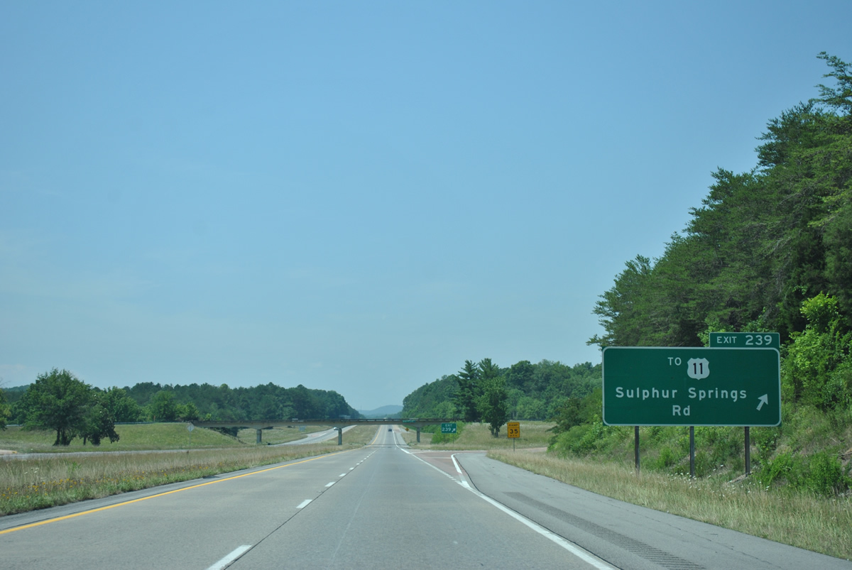
Exit 239 parts ways with Interstate 59 south for Sulphur Springs Road. CR-140 winds westward onto Sand Mountain on the trek to SR 75 at Ider. Sulphur Springs lies to the west of the county road via Dekalb County 738.
06/25/12
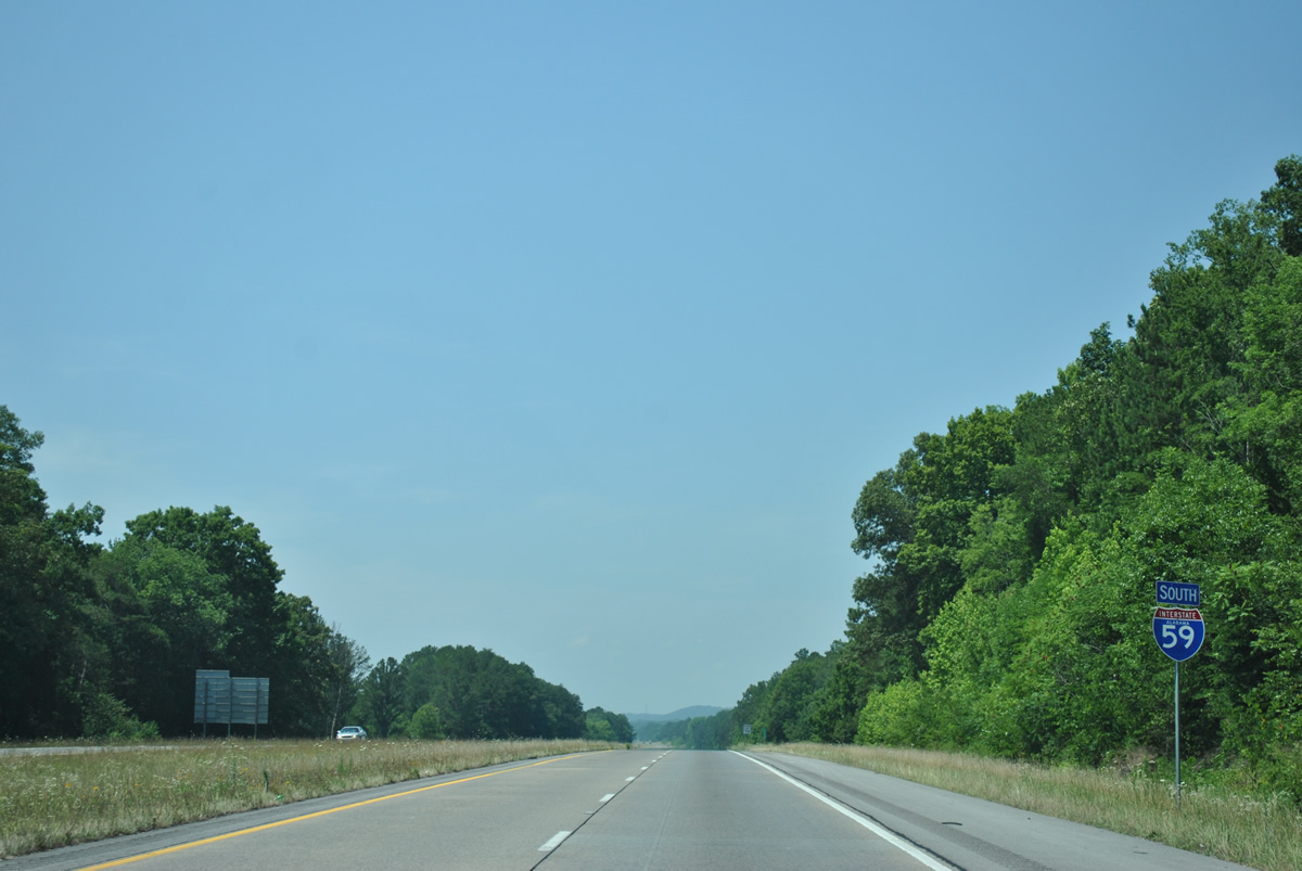
Interstate 59 is designated the Korean Way Memorial Highway in northeastern Alabama. The lightly traveled freeway parallels Little Ridge and Big Ridge throughout much of Dekalb County.
06/25/12
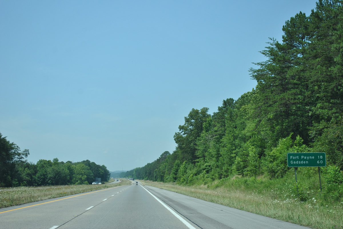
The city of Fort Payne is the next major population center along Interstate 59 south in 18 miles while Gadsden is less than an hour away.
06/25/12
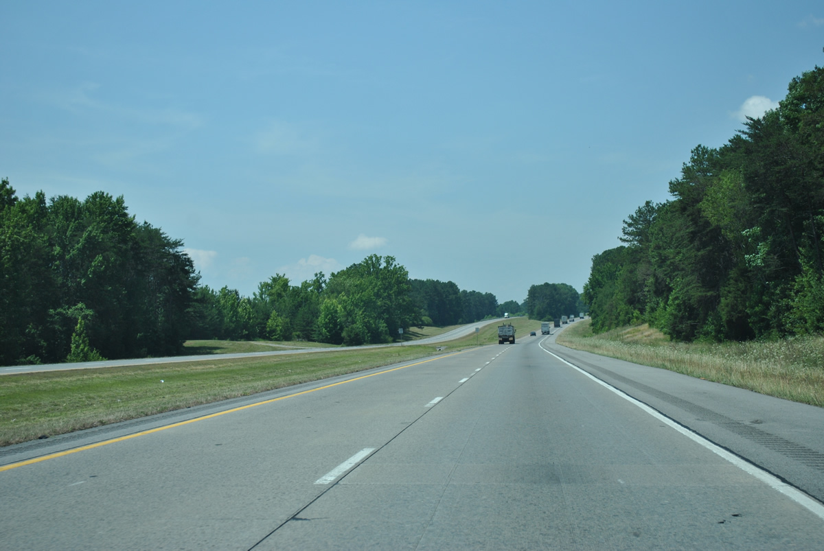
Traveling through Dugout Valley along Dry Creek, Interstate 59 sees a roadway split just west of the U.S. 11 turn across Big Ridge toward Hammondville.
06/25/12
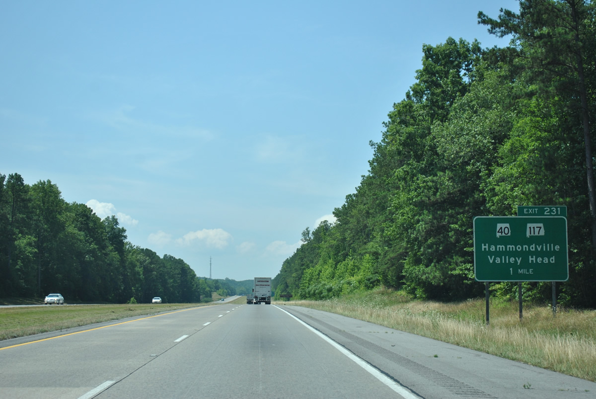
One mile north of the diamond interchange (Exit 231) with SR 117 at the town of Hammondville.
06/25/12
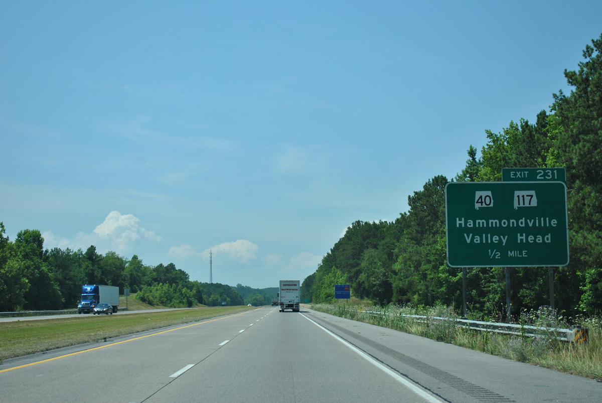
SR 117 winds westward from Interstate 59 through Whiteoak Gap to split with SR 40, a 21.18 mile route west to Henagar and SR 35 by Guntersville Lake. SR 117 ventures north from there 37 miles to Ider, Flat Rock, Stevenson and the Tennessee state line.
06/25/12
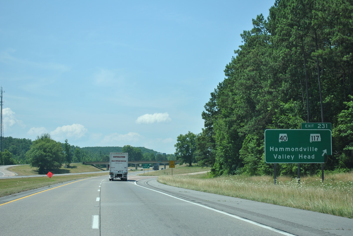
Heading south from Interstate 59 and Exit 231, SR 117 drops from Big Ridge to Hammondville and a short overlap with U.S. 11. The state route connects the town with nearby Valley Head, Mentone and Desoto State Park.
06/25/12
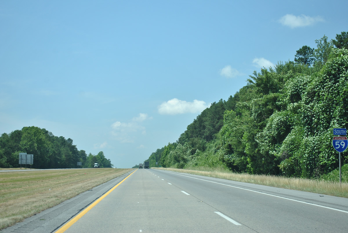
Interstate 59 continues south through Dugout Valley alongside Big Ridge to the County Road 608 overpass.
06/25/12
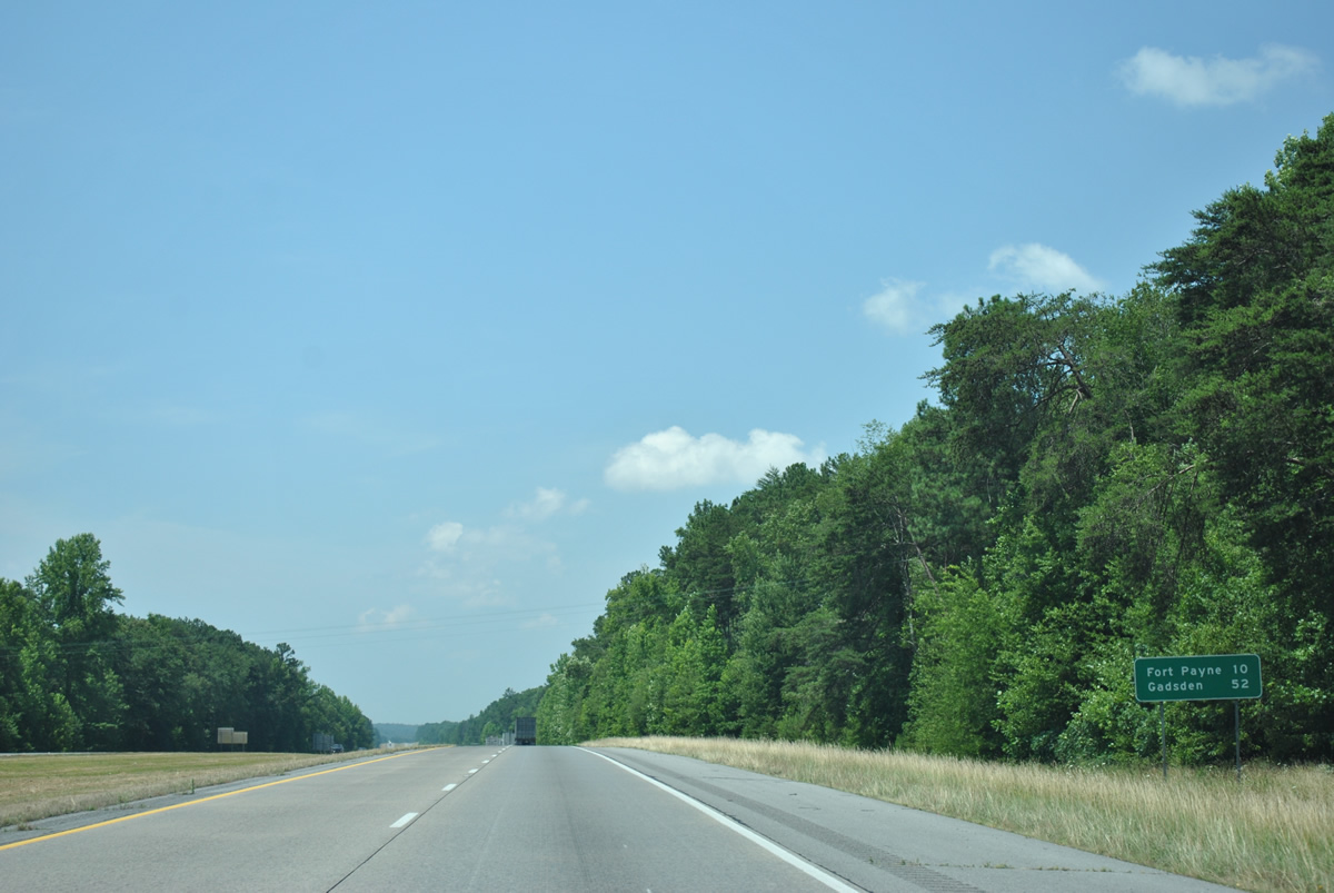
Fort Payne is now ten miles to the south, followed by Gadsden 42 miles further.
06/25/12
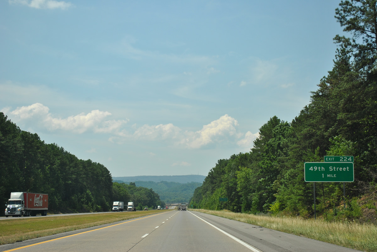
Traffic veers southward across Bridge Road ahead of the July 30, 2010 opened diamond interchange (Exit 224) with 49th Street in north Fort Payne.
06/25/12
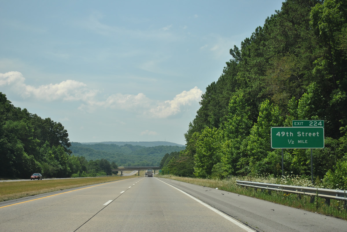
A new roadway (49th Street) was constructed in conjunction with Exit 224 to serve Fort Payne Industrial Park along Gault Avenue (County Road 137). The east-west road cuts through Big Ridge between the freeway and Railroad Valley and replaces the narrow alignment of 48th Street.
06/25/12
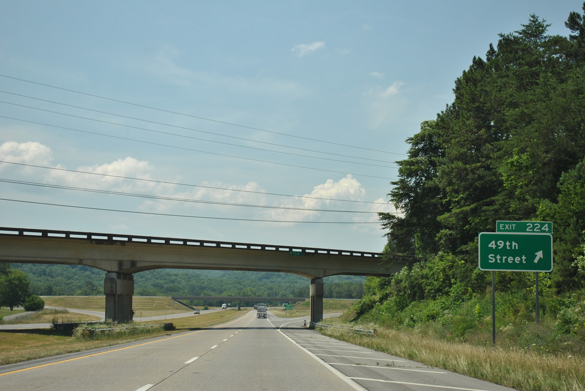
U.S. 11 swaps sides with Interstate 59 south just ahead of the Exit 224 off-ramp to 49th Street. The US route arcs westward to Isbell Field before meeting the freeway directly at Exit 222.
06/25/12
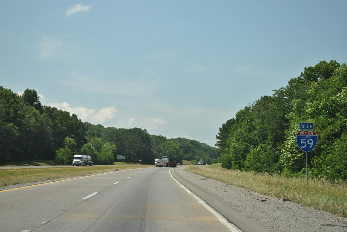
Interstate 59 enters Big Wills Valley from Exit 224 southwest to a point east of Duck Springs in Etowah County.
06/25/12
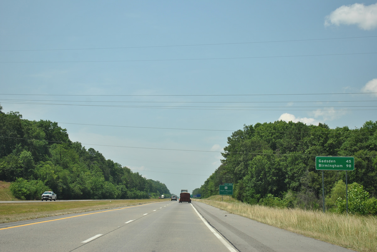
Birmingham appears on southbound distance sign for the first time in Alabama south of 49th Street. Alabama's largest city is 98 miles to the southwest.
06/25/12
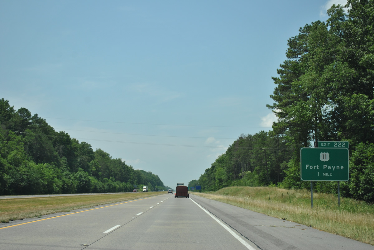
A diamond interchange joins Interstate 59 with U.S. 11 (Greenhill Boulevard) ahead of its cut through Big Ridge to Gault Avenue within the Fort Payne street grid.
06/25/12
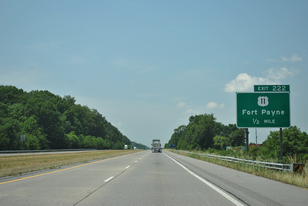
U.S. 11 lines Gault Avenue through downtown Fort Payne, exiting the city southward through Little Wills Valley.
06/25/12
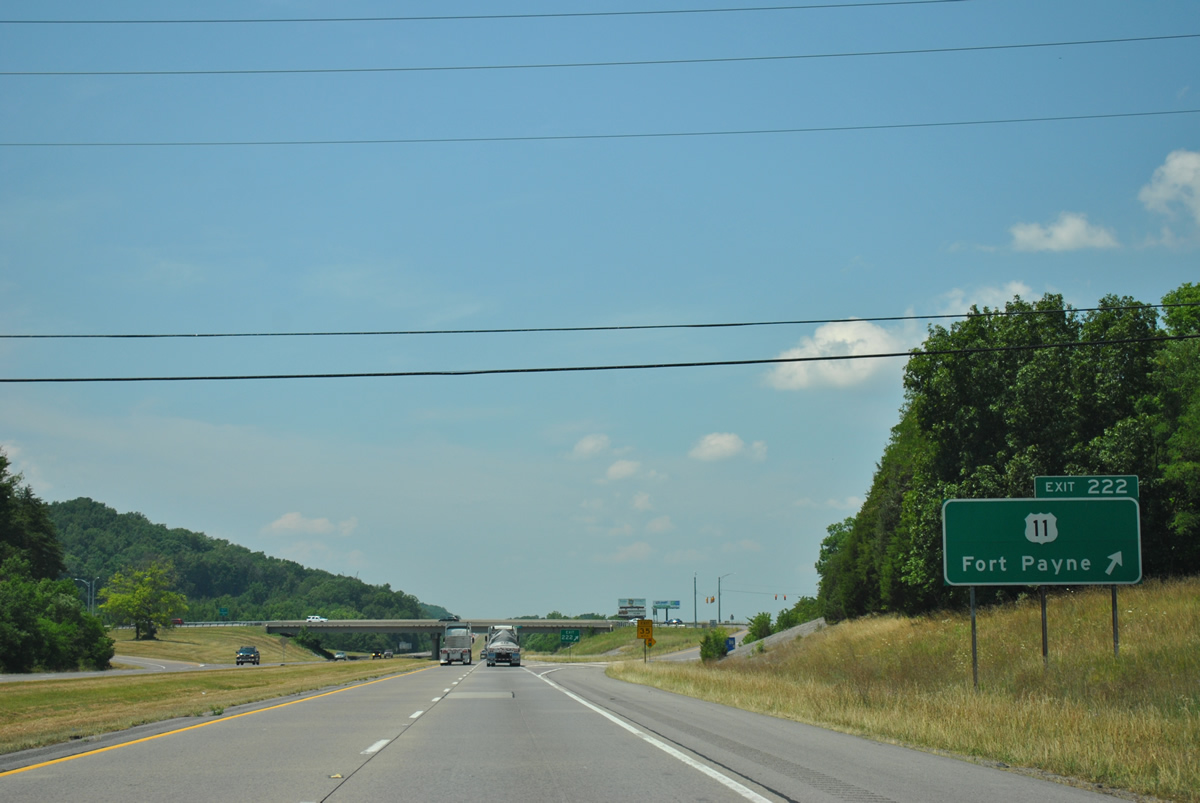
The second Fort Payne exit departs Interstate 59 south at Exit 222. Interests to Little River Canyon National Preserve should follow U.S. 11 (Gault Avenue) south to SR 35 (5th Street) and the Appalachian Highlands Scenic Byway.
06/25/12
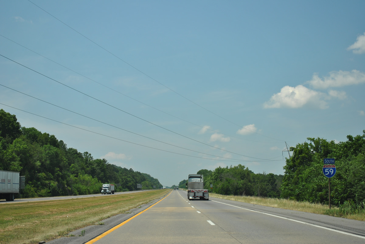
Remaining with in the Fort Payne city limits, Interstate 59 continues along the west slope of Big Ridge.
06/25/12
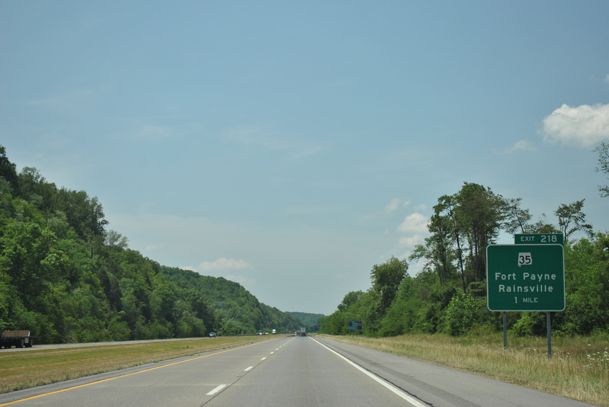
SR 35 exits Fort Payne and an overlap with U.S. 11 (Gault Avenue) to climb Big Ridge and meet Interstate 59 at a commercialized diamond interchange (Exit 218).
06/25/12
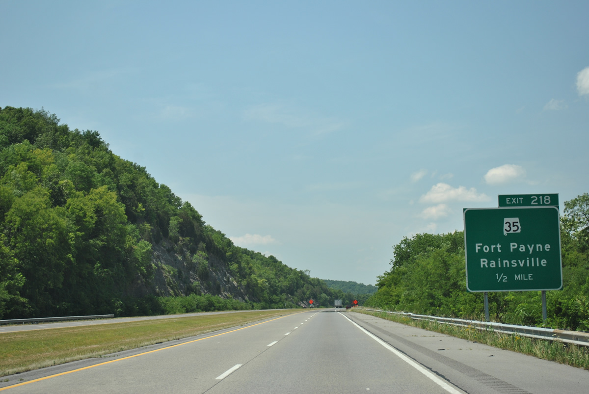
SR 35 comprises a 68.29 mile route from SR 9, south of Gaylesville to Blanche, Fort Payne, Rainsville, Scottsboro and U.S. 72 near Woodville.
06/25/12
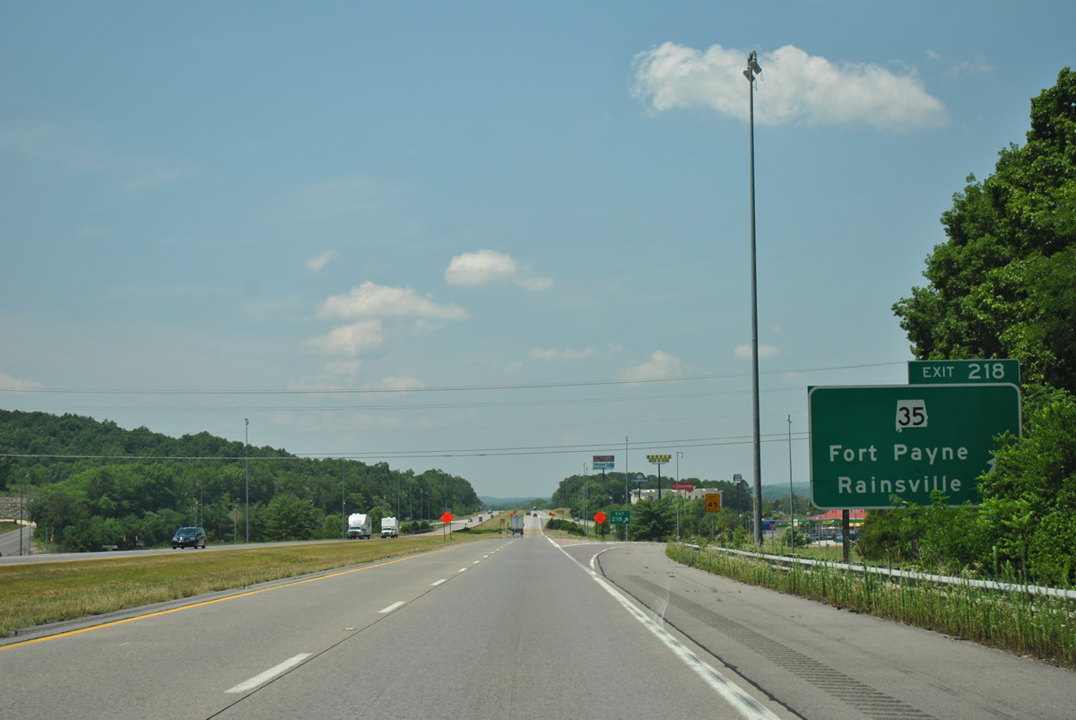
Exit 218 departs Interstate 59 south at SR 35 (Glenn Boulevard) in Fort Payne. This interchange provides the first array of traveler services south from Georgia. SR-35 comprises a four lane highway west from the city to Pine Ridge and the eight mile drive to Rainsville.
06/25/12
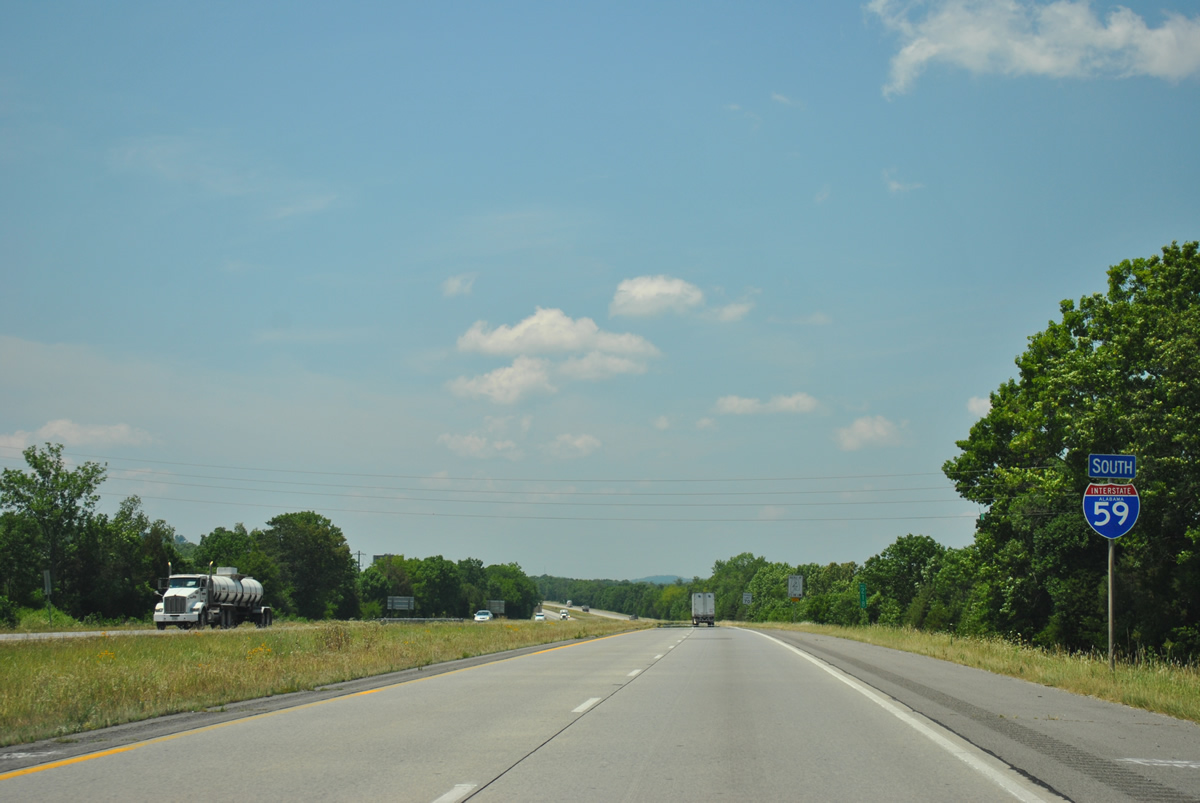
Southbound reassurance marker posted after Exit 205. Frontage roads (Industrial Lane / Briarwood Avenue) accompany the freeway to County Road 51 (Lebanon Road).
06/25/12
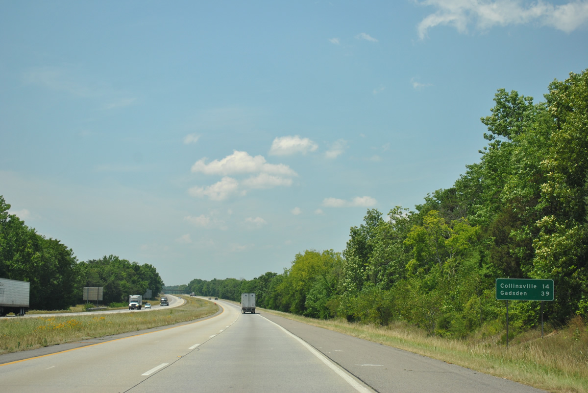
Collinsville, the last exit of DeKalb County, follows in 14 miles. Gadsden is now 39 miles away.
06/25/12
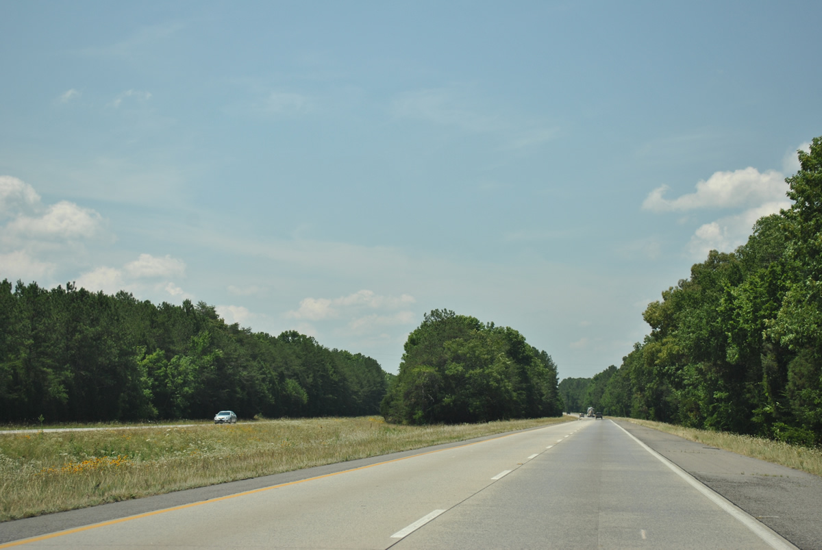
Outside the city limits of Fort Payne, Interstate 59 separates with a forested median.
06/25/12
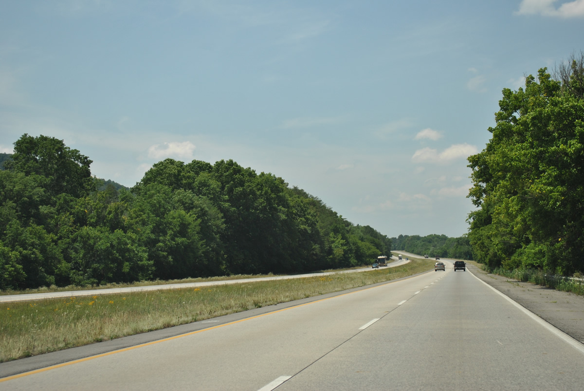
The scene along Interstate 59 south near the community of Lebanon through Big Wills Valley.
06/25/12
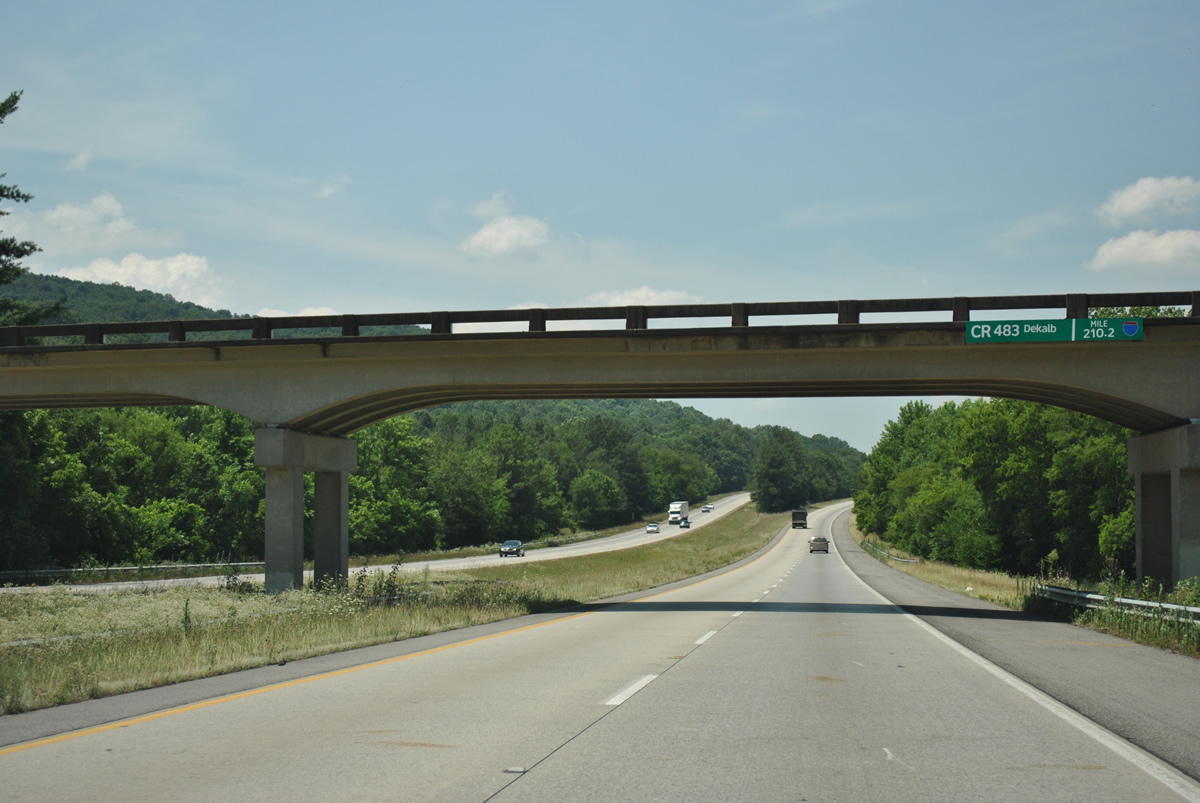
Dekalb County 483 spans I-59 from parallel County Road 51 through Portersville Gap to U.S. 11 in Little Wills Valley.
06/25/12
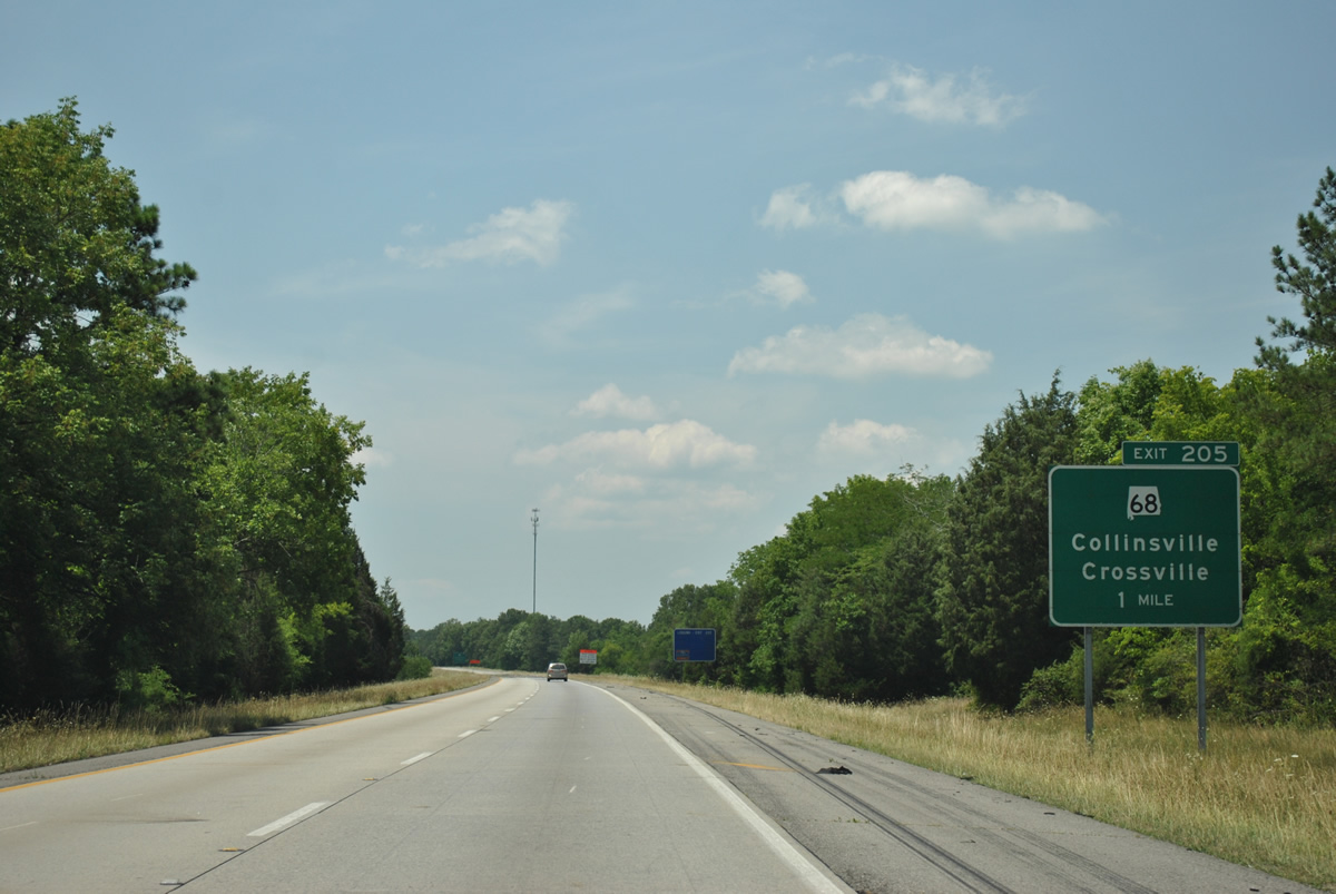
Next along Interstate 59 south is the Exit 205 diamond interchange with SR 698 at the town of Collinsville.
06/25/12
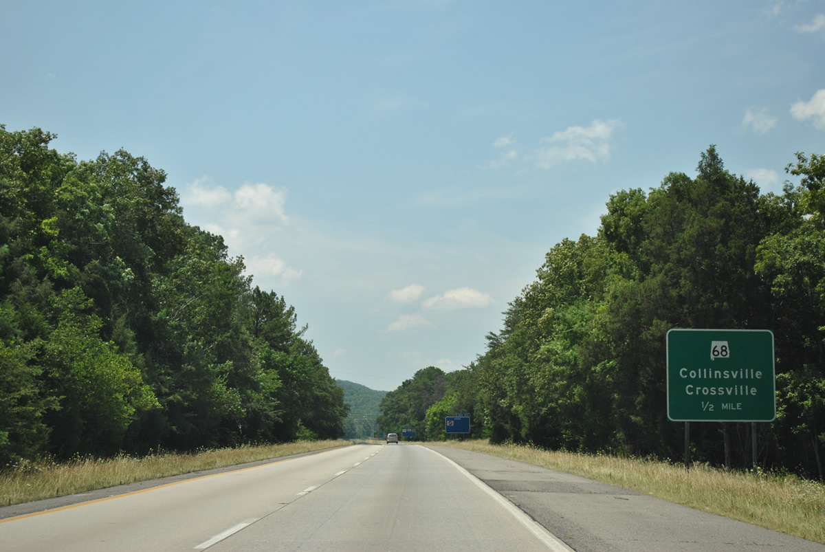
SR 698 travels 18.8 miles west from Interstate 59 at Collinsville to Dawson, Crossville, and an end at SR 75 outside Albertville. SR 168 splits with the route at Kilpatrick for interests west to Boaz.
06/25/12
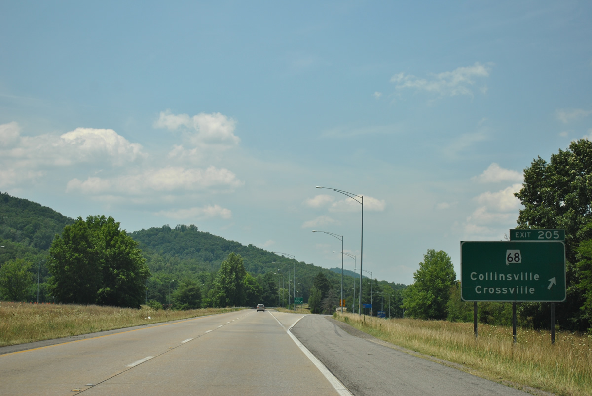
Southbound Interstate 59 at the off-ramp (Exit 205) to SR 68. SR 68 follows Little Wills Creek on the drop from I-59 to U.S. 11 at the Collinsville town center. Beyond a short overlap, the state route climbs again onto Lookout Mountain en route to Weiss Lake and Centre.
06/25/12
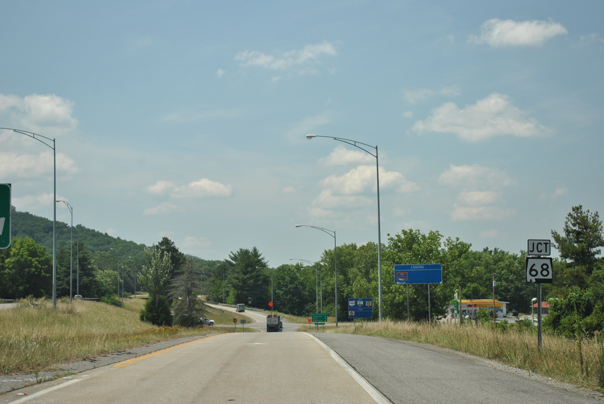
SR 698 shield posted along the southbound off-ramp from I-59. SR 698 east concludes its 52.93 mile route as Georgia 114 northeast of Gaylesville.
06/25/12
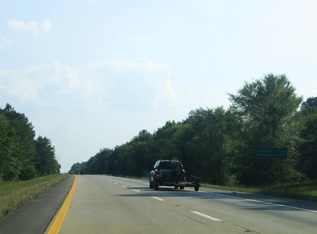
Leaving Collinsville, southbound motorists next reach Gadsden in 26 miles. Birmingham is now 79 miles to the southwest.
06/18/05
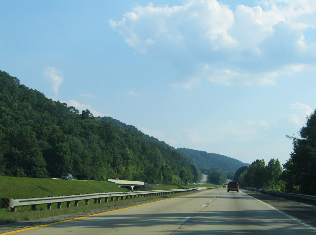
Interstate 59 passes over Stephens Gap Road ahead of the southeastern curve across Big Ridge.
06/18/05
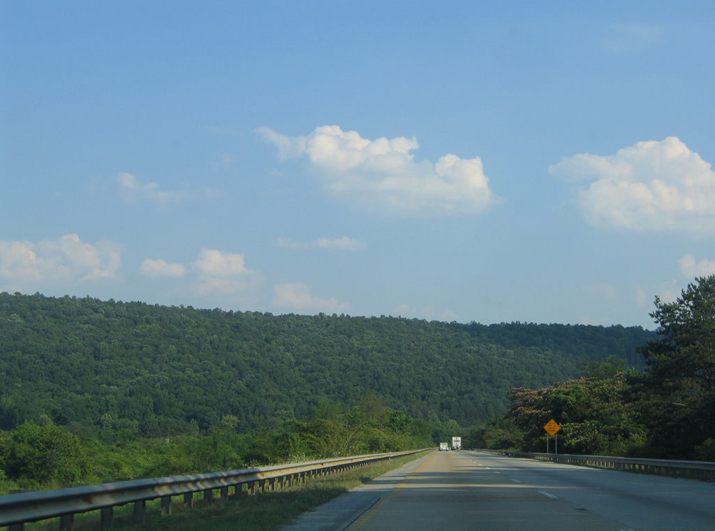
Facing southeasterly along Interstate 59 across Big Ridge. The freeway lowers into Little Wills Valley and lines Lookout Mountain to Gadsden.
06/18/05
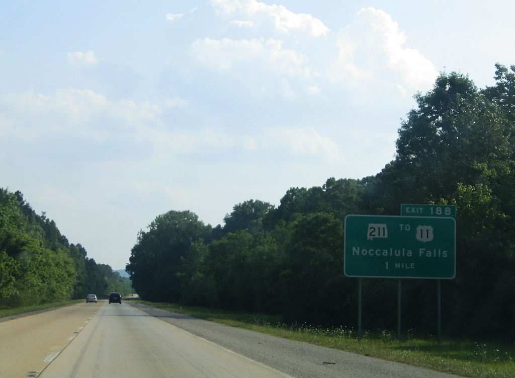
The first of three Gadsden exits joins Interstate 59 with SR 211 (Noccalula Parkway) at the town of Reece City in one mile.
06/18/05
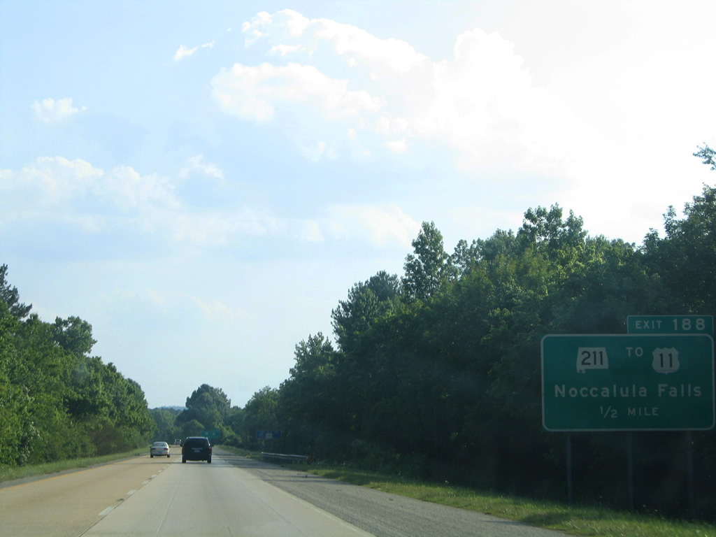
Interstate 59 again switches sides with U.S. 11 on the southwesterly trek through Little Wills Valley. SR 211 ends at the parallel US highway just 0.42 miles to the north in Reece City.
06/18/05
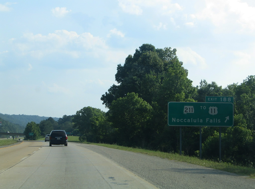
SR 211 (Noccalula Parkway) meanders southeast from Interstate 59 (Exit 188) onto Lookout Mountain to north Gadsden and Noccalula Falls, a 90 foot cascading waterfall surrounded by a city park. The state route provides an alternate route to downtown via its south end at U.S. 278 & 431 (Meighan Boulevard).
06/18/05
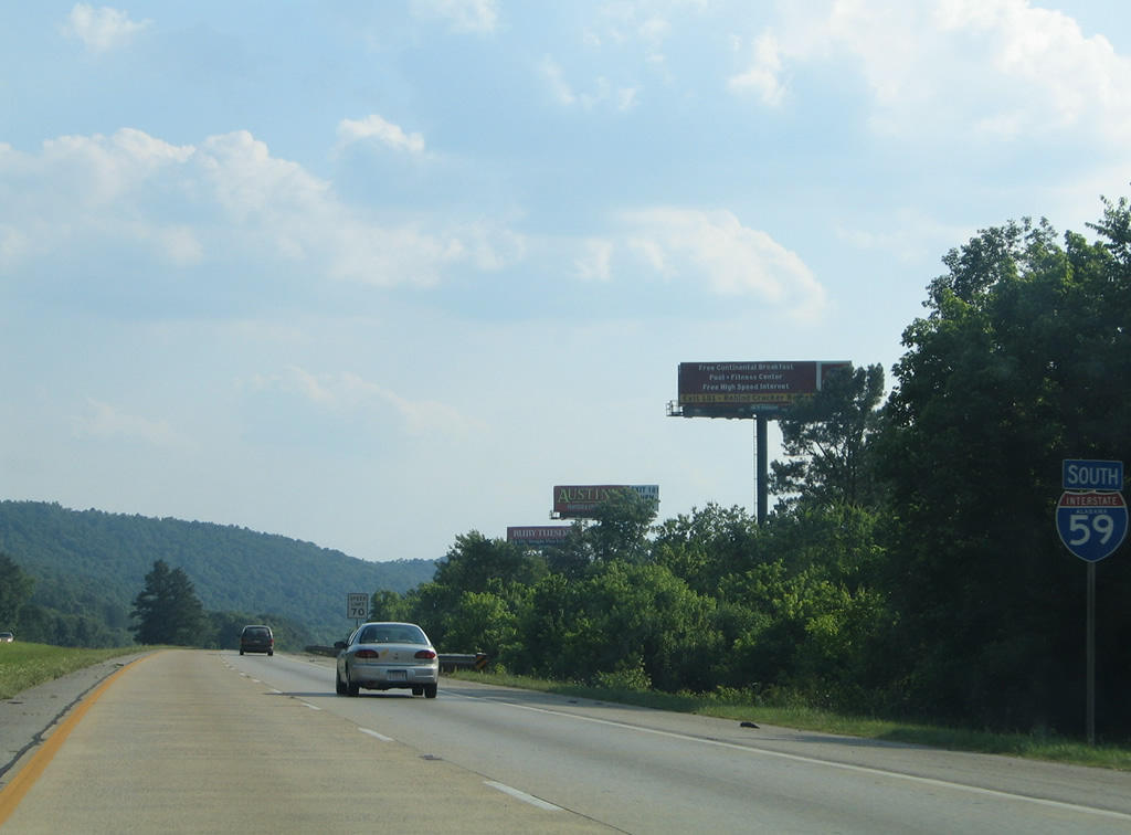
Interstate 59 parallels Little Wills Creek southwest along Lookout Mountain to the city of Gadsden.
06/18/05
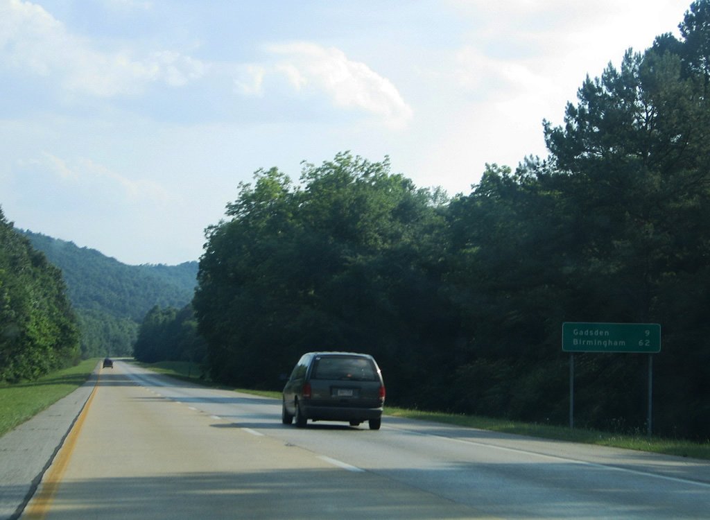
Downtown Gadsden is still a nine mile drive from Interstate 59 south near Exit 188. Birmingham is now an hour away.
06/18/05
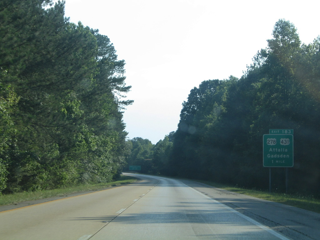
U.S. 278 & 431 combine from East Gadsden through downtown to Attalla along a 7.99 mile overlap. The tandem meet Interstate 59 at a split diamond interchange (Exit 183) with Cleveland Avenue in one mile.
06/18/05
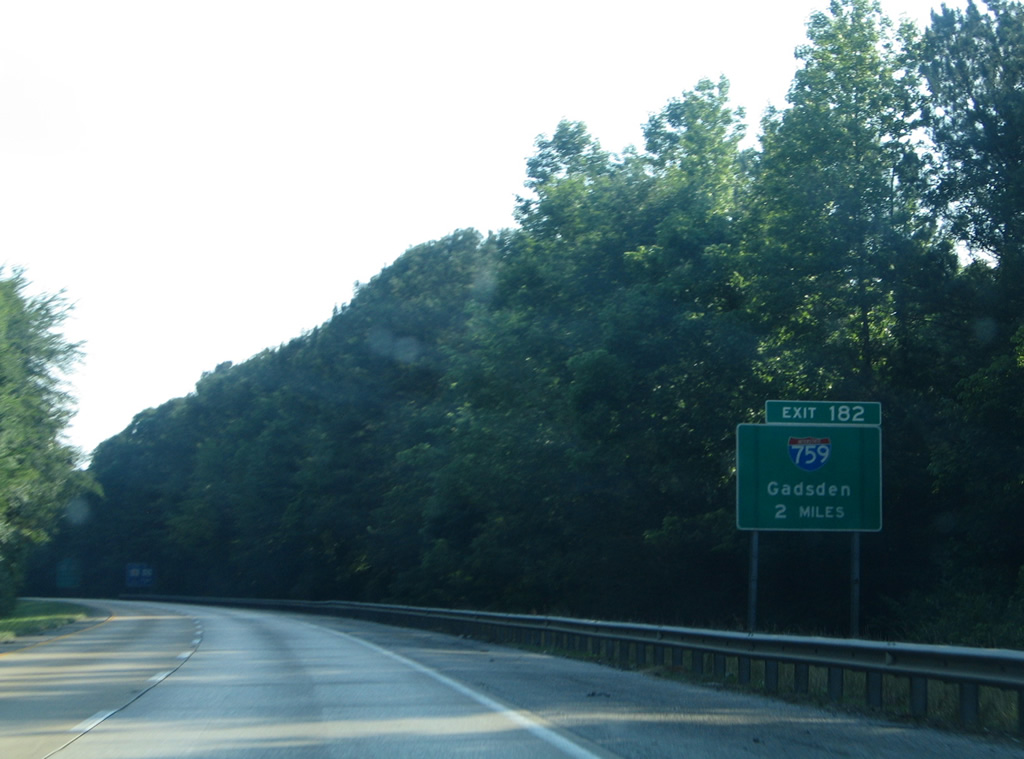
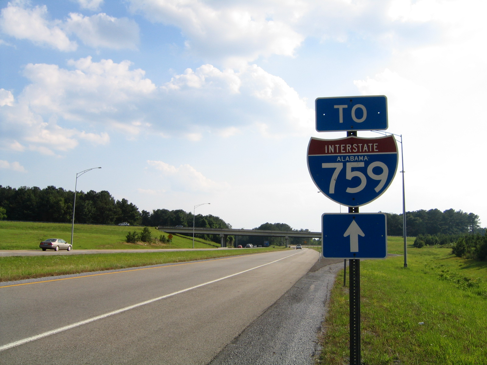
The first guide sign for Interstate 759 (Gadsden Spur) precedes Exit 183 by two miles.
06/18/05

U.S. 278 joins Gadsden and Attalla with Piedmont to the east and Cullman to the west. U.S. 431 enters Attalla from Guntersville and Albertville to the north and departs to Anniston and Oxford to the south.
06/18/05

Exit 183 leaves Interstate 59 south for U.S. 278 & 431. The pair travel 5th Avenue west to the Attalla city center and U.S. 11 (3rd Street) and Meighan Boulevard east to their partition at Piedmont Cutoff Highway.
06/18/05
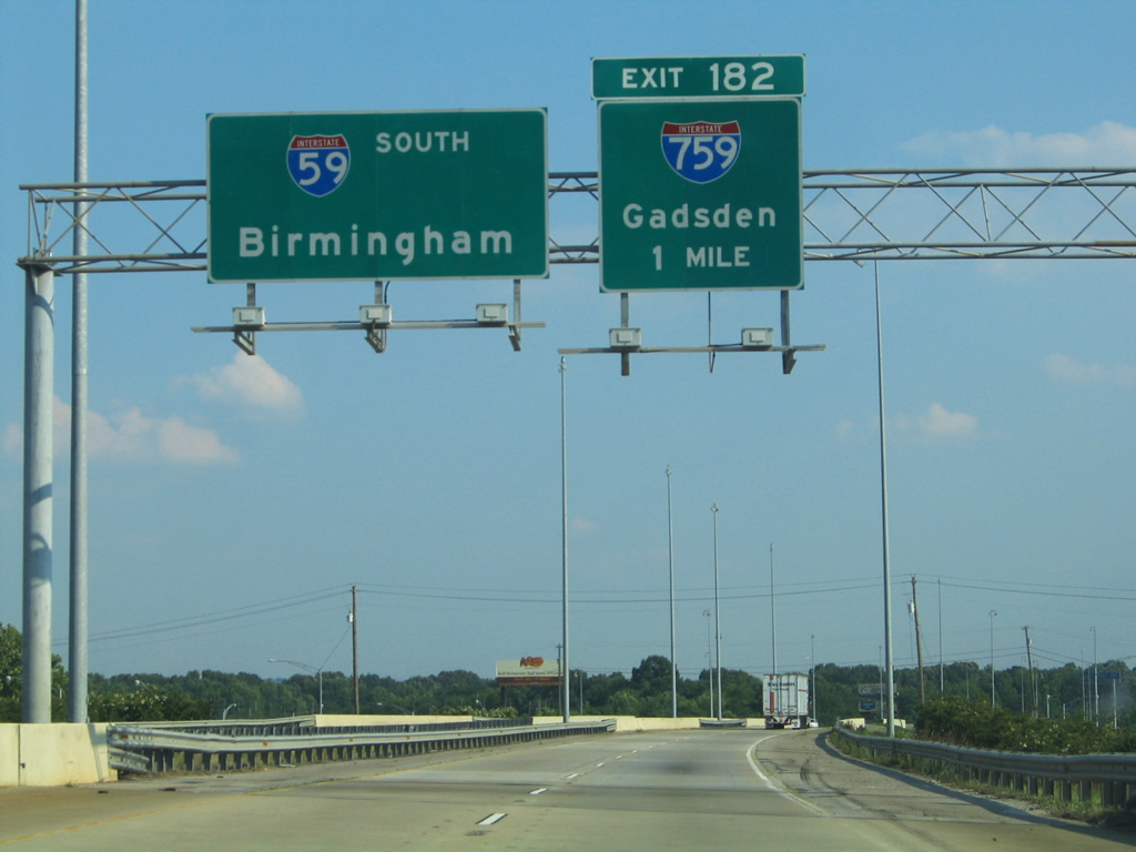
Traveling above U.S. 278 & 431 and parallel Cleveland Avenue, southbound motorists along I-59 next meet the west end of Interstate 759 (Exit 182), the 4.54 mile Gadsden Spur to South Gadsden and U.S. 411 near Rainbow City.
06/18/05
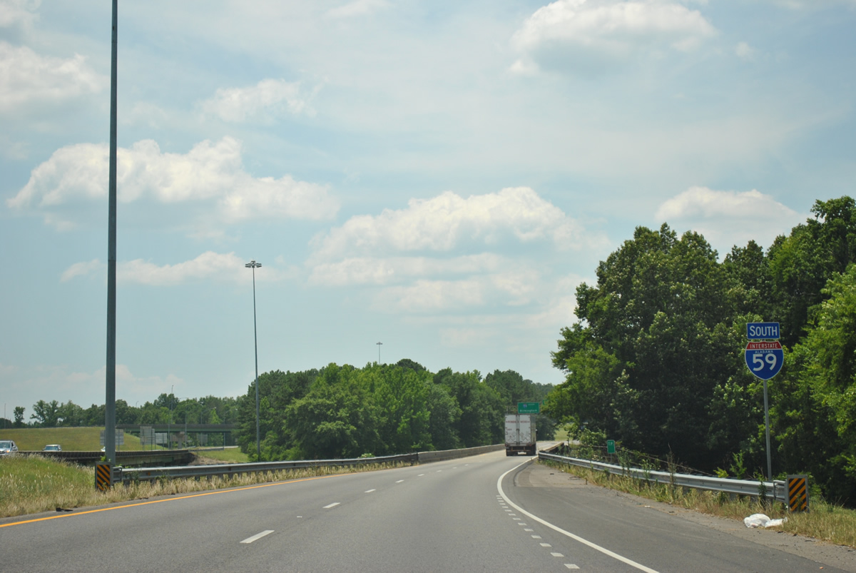
Crossing Big Wills Creek between the Cleveland Avenue on-ramp and Interstate 759 (Exit 182).
06/25/12
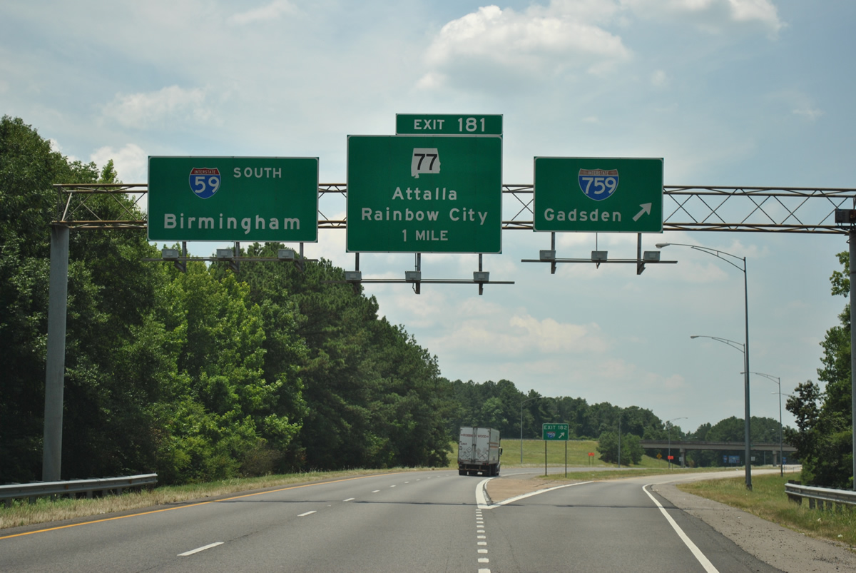
Exit 182 quickly departs Interstate 59 southbound beyond Big Wills Creek for Interstate 759 east into Gadsden. The freeway opened in 1986.
06/25/12
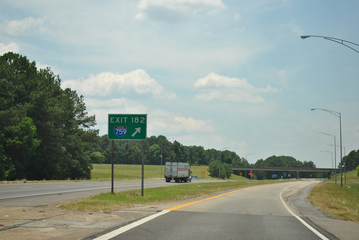
Gore point signs at freeway to freeway connections generally feature the route shield per ALDOT signing practices.
06/25/12
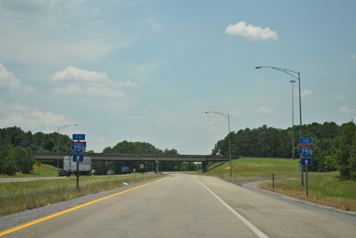
A pair of shields precede the loop ramp from I-59 south onto I-759 south. A ramp stub present alludes to a proposed westward extension of Interstate 759 to Attalla.
06/25/12
06/18/05
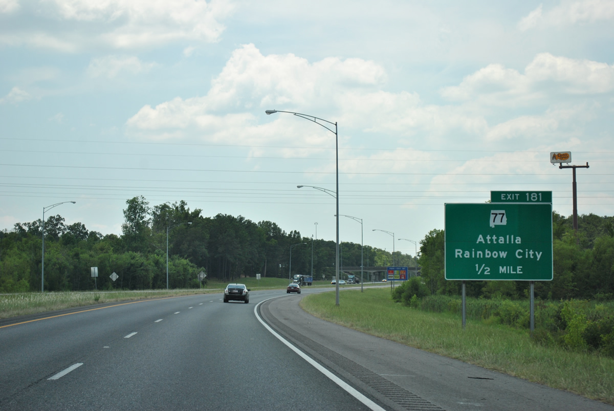
SR 77 (Gilbert Ferry Road) arcs southwest from U.S. 431 at Ridgeville to bypass Attalla to a folded diamond interchange (Exit 181) with Interstate 59.
06/25/12
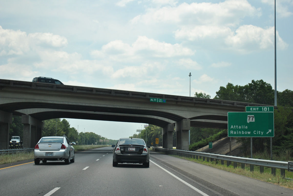
Exit 181 loops away from Interstate 59 south onto SR 77. SR 77 passes by Northeast Alabama Regional Airport (GAD) to become Grand Avenue through Rainbow City. The state route continues from U.S. 411 to Southside and Talladega along a 112.33 mile course to Lafayette.
06/25/12
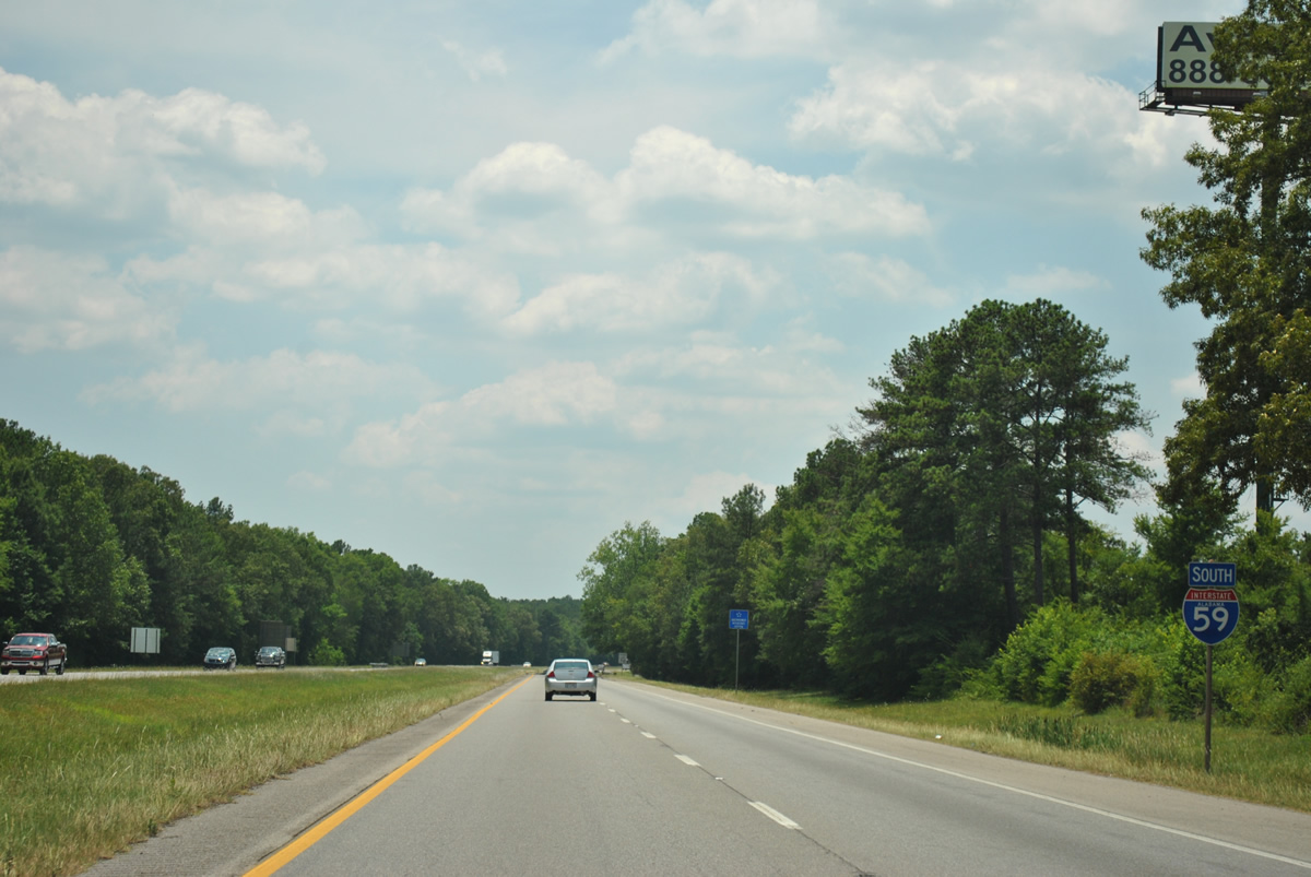
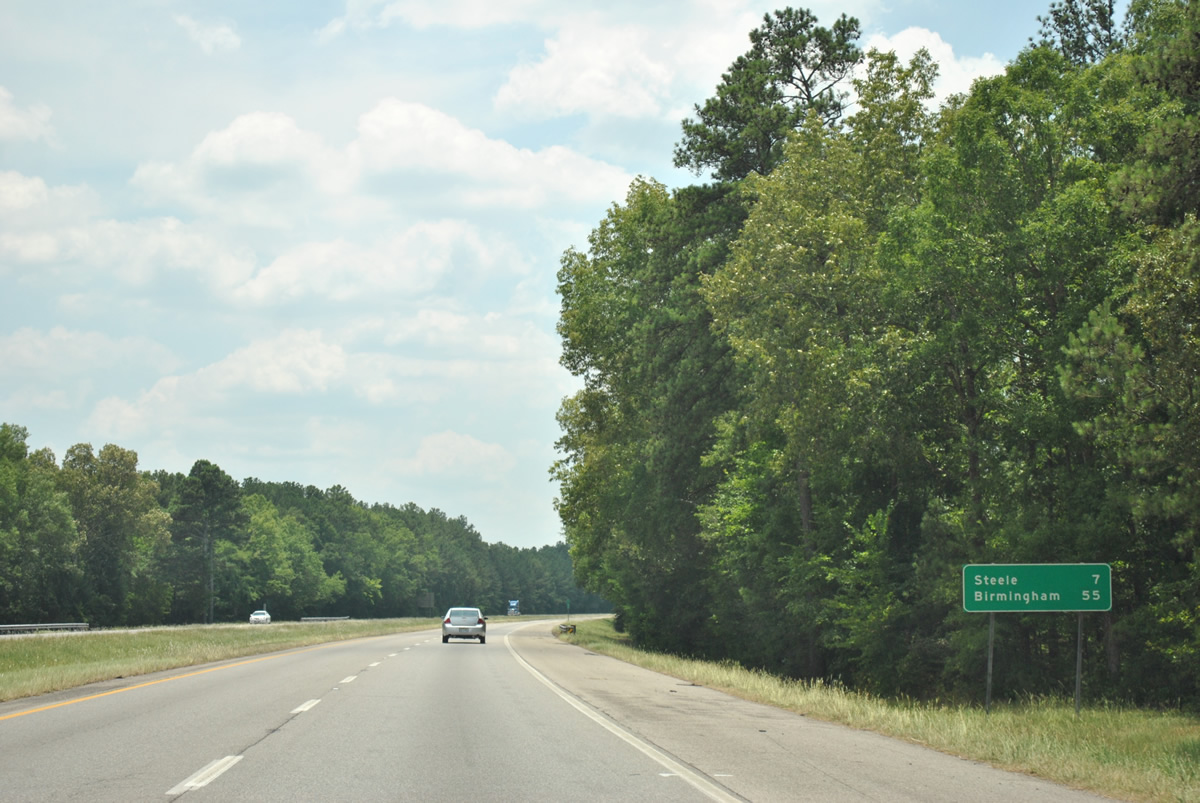
Leaving the Gadsden and Attalla area, Interstate 59 enters Canoe Creek Valley on the seven mile approach to Steele.
06/25/12
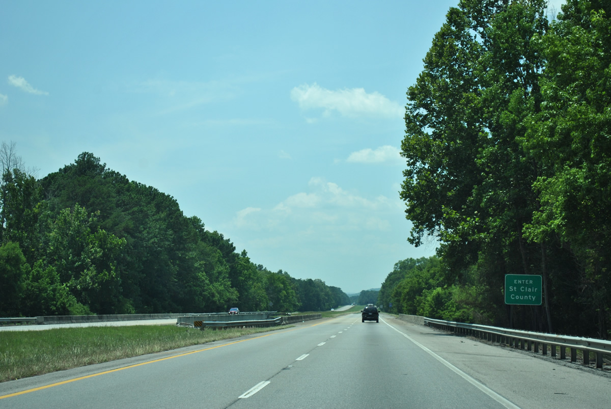
Little Canoe Creek flows southeast from Red Mountain to separate Etowah and St. Clair Counties across Interstate 59.
06/25/12
Photo Credits:
- ABRoads: 06/25/12
- Alex Nitzman: 06/18/05
Connect with:


Page Updated Tuesday October 23, 2012.