
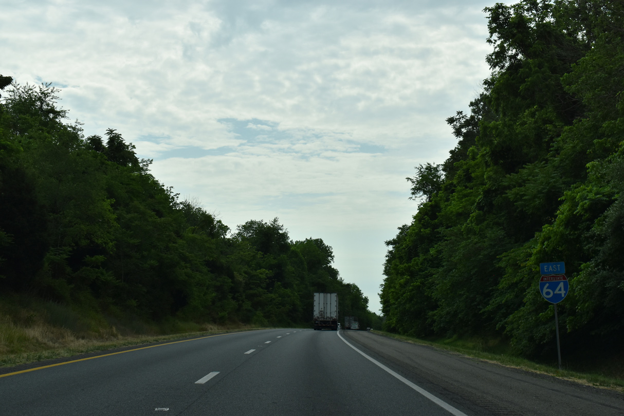
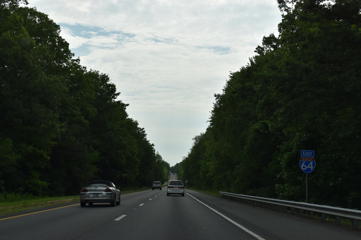
Interstate 64 East - Charlottesville to Gum Spring

The city of Charlottesville was home to around 47,000 in 2015 and was founded in 1888, about 70 years after the University of Virginia was founded. It was rated in 2004 by Frommer's Cities Ranked and Rated as the "Best Place to Live in America." According to the book, Charlottesville has "a special mix of college-town and historic amenities and is clean and heavily shaded."
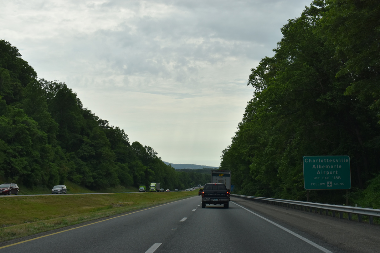
North from I-64, U.S. 29 follows a freeway bypass west of the University of Virginia and the city of Charlottesville. Founded in 1819 by Thomas Jefferson, the university is home to the Cavaliers of the Atlantic Coast Conference (ACC).
 East
East
U.S. 29 is the most important corridor between I-95 and I-81 in Virginia, as it strings together a series of large towns and cities through central parts of the state.
05/28/21
05/28/21
05/28/21
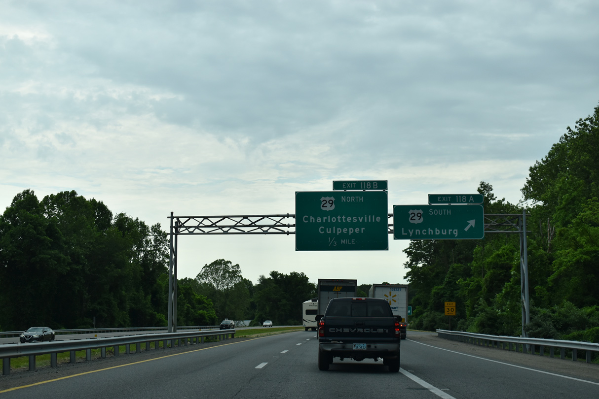
Exit 118A departs for U.S. 29 south to Lovingston, Amherst, Lynchburg and Danville.
05/28/21
05/28/21
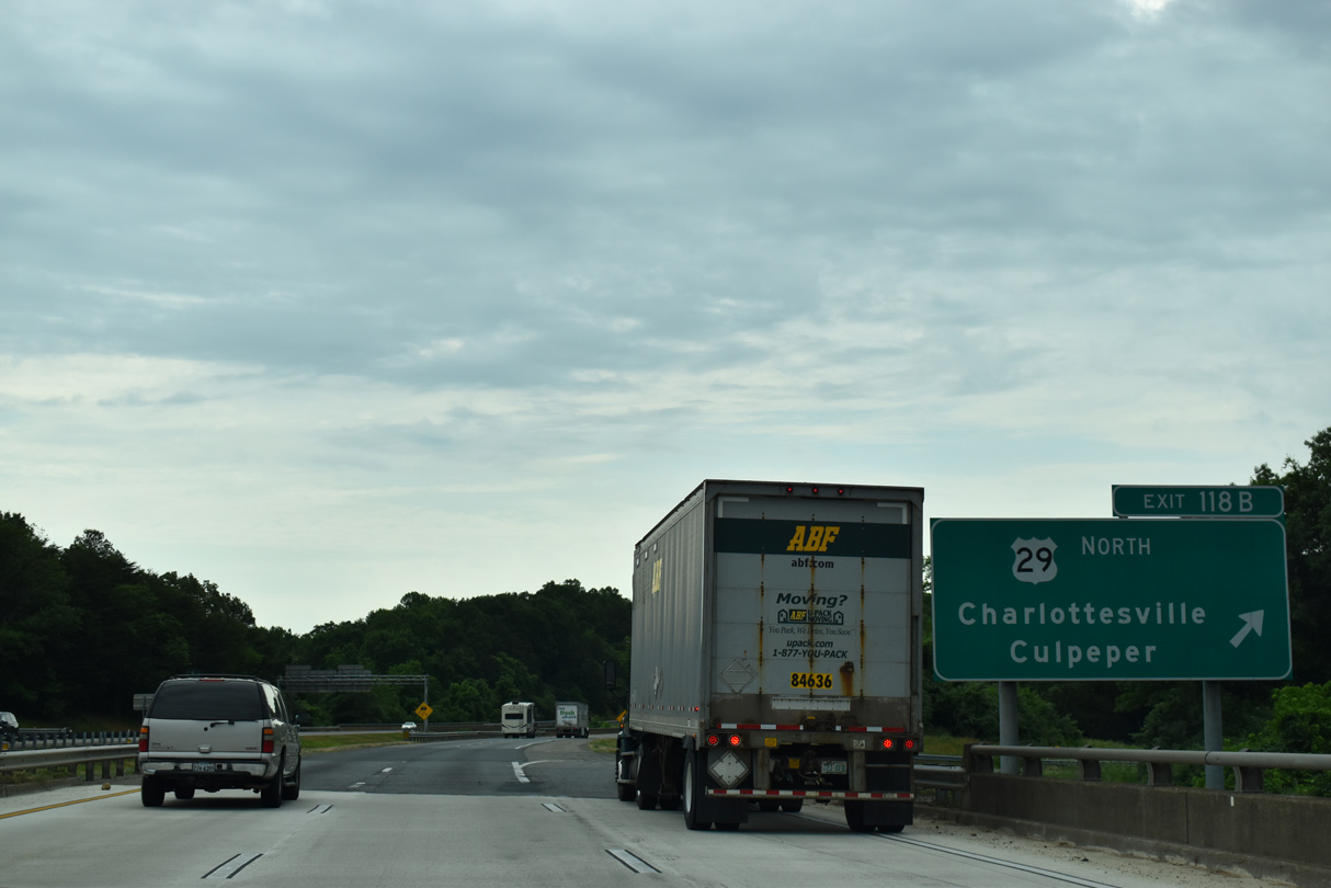
A loop ramp (Exit 118B) follows for U.S. 29 north to the University of Virginia and Culpeper.
05/28/21
05/28/21
05/28/21
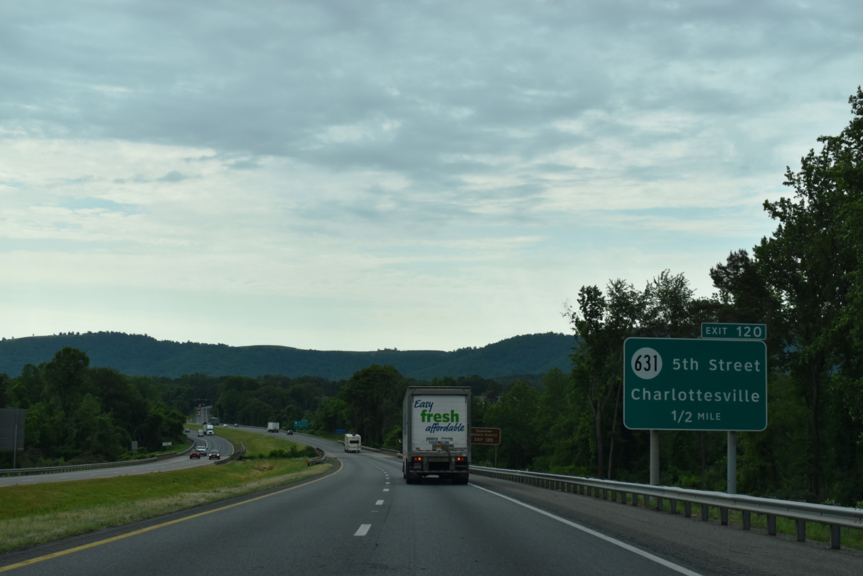
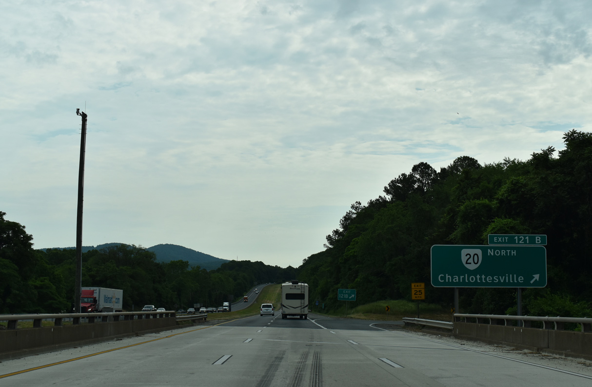
Forthcoming Exit 120 connects I-64 east with Fifth Street (SR 631/602) north into Downtown Charlottesville and south into suburban Albemarle County.
05/28/21
05/28/21
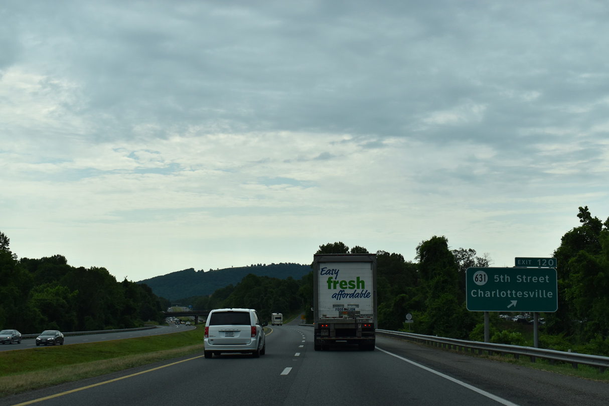
Fifth Street north leads into Ridge Street into Downtown Charlottesville.
05/28/21
05/28/21
05/28/21
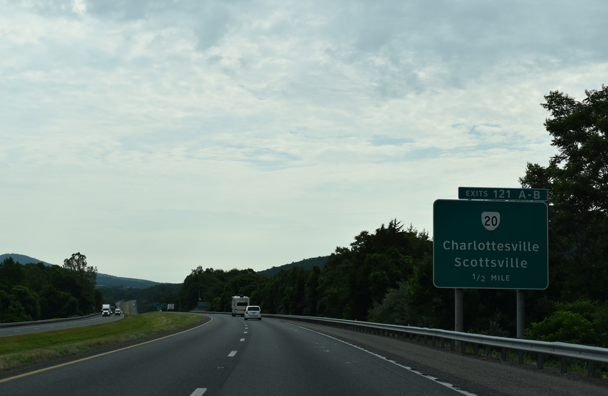
SR 20 weaves southward from Avon Street along Monticello Avenue through residential areas of Charlottesville to a cloverleaf interchange (Exit 121) with I-64.
05/28/21
05/28/21
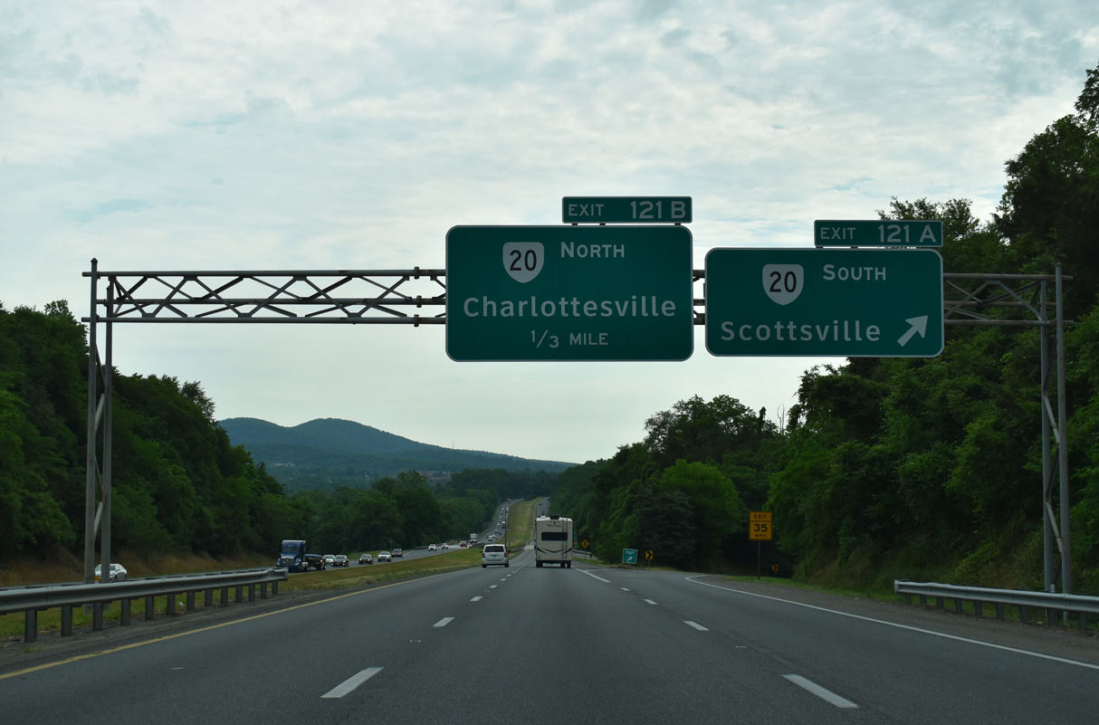
SR 20 travels 37.35 miles south from I-64 at Charlottesville to Keene, Scottsville and U.S. 15 near Sprouses Corner in Buckingham County. SR 20 (Scottsville Road) south also links with SR 53 east to Monticello, the home of Thomas Jefferson.
05/28/21
05/28/21
Beyond Charlottesville, SR 20 heads northeast to Barboursville and Orange. The 89.79 mile long route concludes at SR 3 (Germanna Highway) at Wilderness.
05/28/21
05/28/21
05/28/21
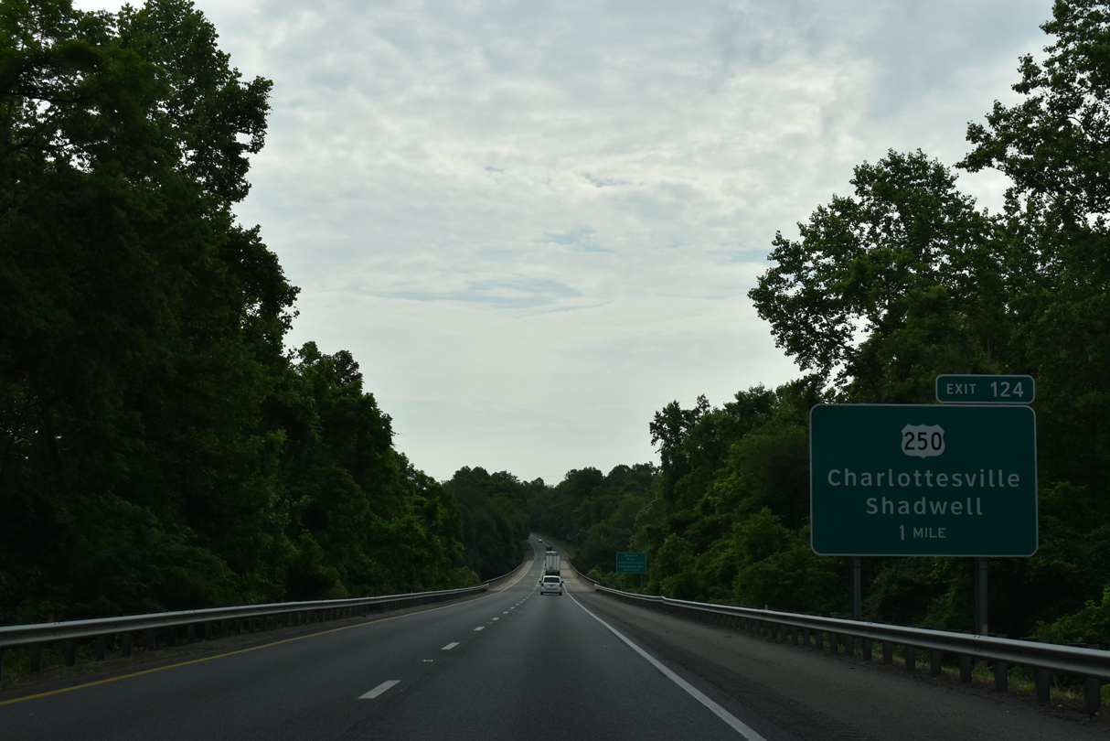
Interstate 64 meets U.S. 250 again at Exit 124 and the community of Pantops. U.S. 250 (Richmond Road) runs west 1.99 miles to the Charlottesville city line.
05/28/21
05/28/21
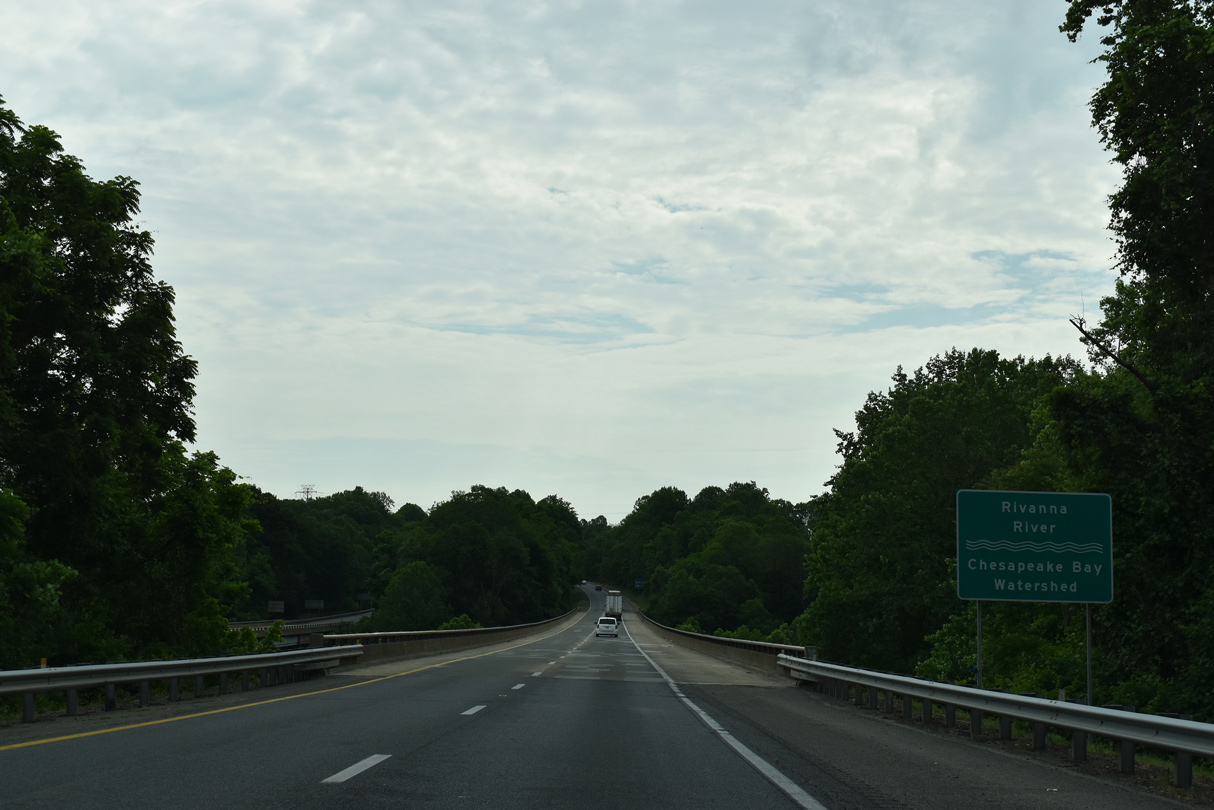
Advancing east across the Rivanna River, I-64 converges with U.S. 250 at a diamond interchange (Exit 124).
05/28/21
05/28/21
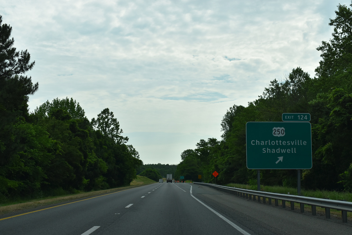
U.S. 250 (Richmond Road) reduces from a four lane arterial into a rural two lane highway east from Exit 124 near Hunters Hall to Shadwell.
05/28/21
05/28/21
05/28/21

05/28/21
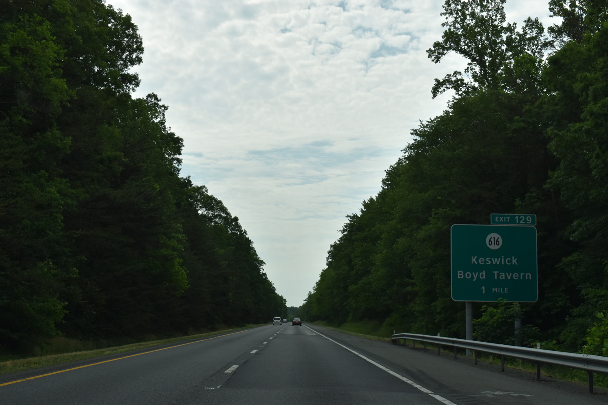
The final exit along I-64 in Albemarle County joins the freeway with SR 616 (Black Cat Road) 2.32 miles southeast of SR 22 (Louisa Road) at Keswick.
05/28/21
05/28/21
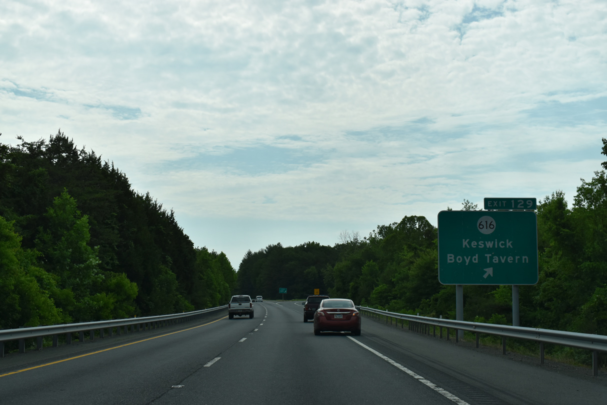
SR 616 (Black Cat Road) runs 0.64 miles south from the diamond interchange at Exit 129 to U.S. 250 at Boyd Tavern.
05/28/21
05/28/21
05/28/21
05/28/21
05/28/21
05/28/21
05/28/21

The town of Orange, seat of Orange County, is 20 miles to the north along forthcoming U.S. 15.
05/28/21
05/28/21
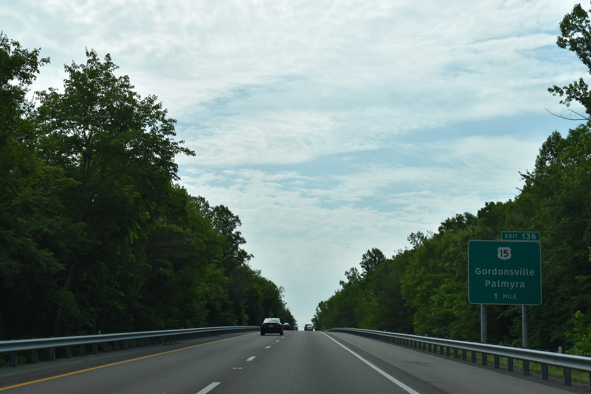
Gordonsville lies at the crossroads of U.S. 15, U.S. 33, and SR 231; north of Gordonsville, U.S. 15 continues as a divided highway to SR 20 at Orange and with two lanes to U.S. 29 at Culpeper.
05/28/21
05/28/21
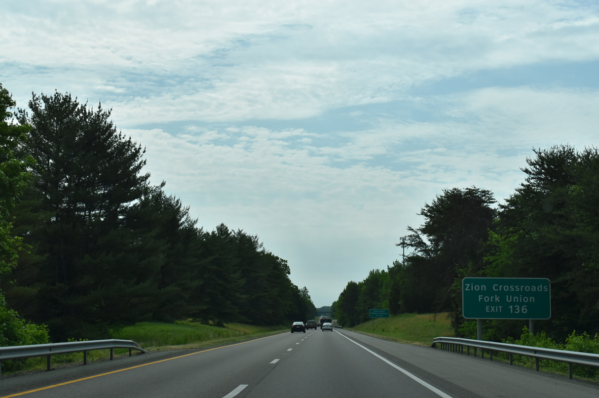
U.S. 15 intersects U.S. 250 just south of Exit 136 at Zion Crossroads. U.S. 15 continues 17 miles from there to the community of Fork Union.
05/28/21
05/28/21
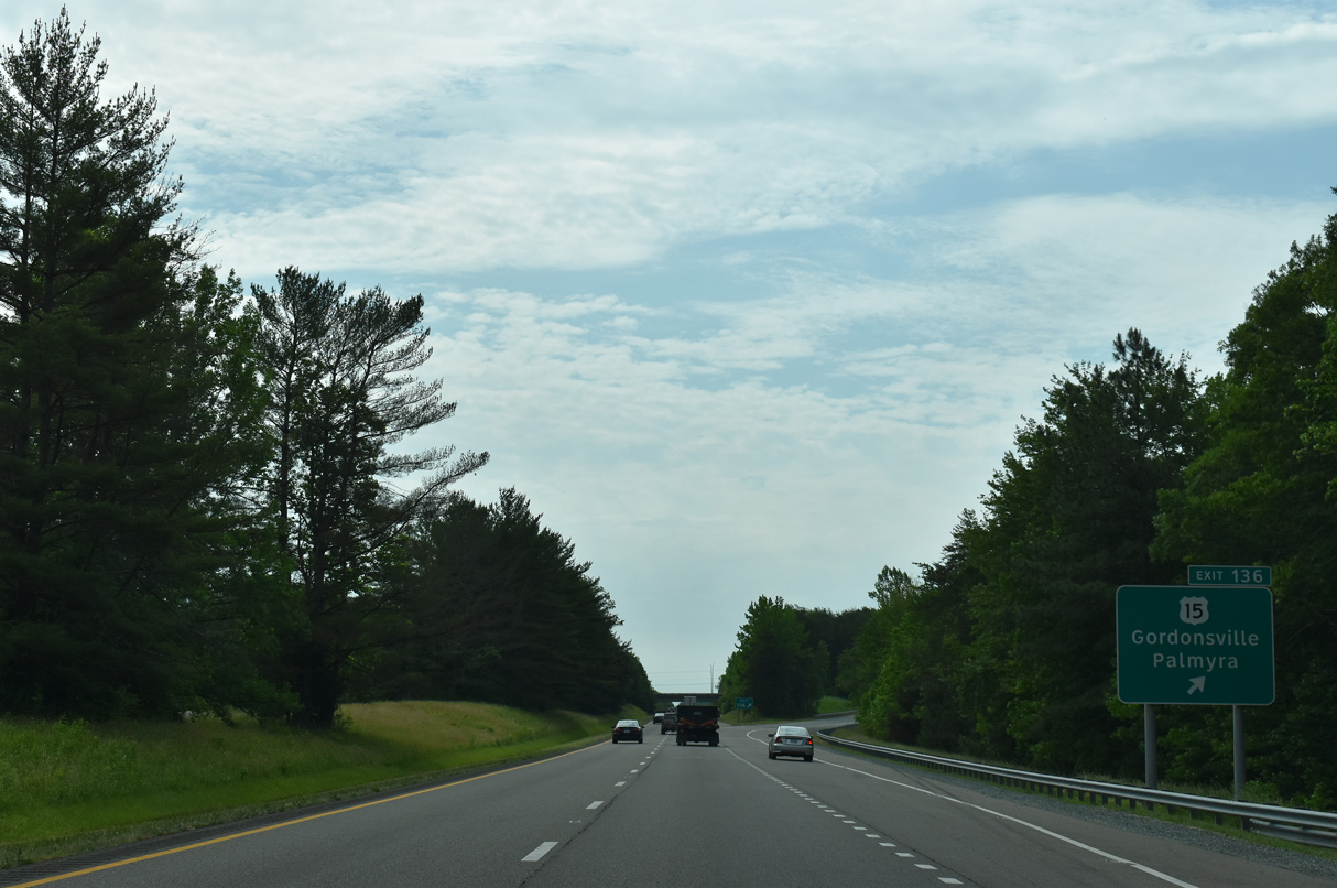
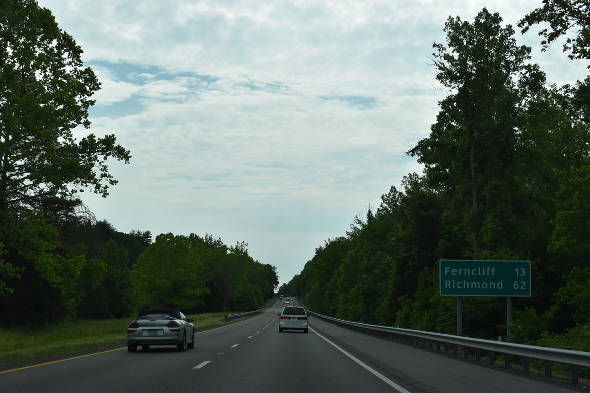
South from the diverging diamond interchange (Exit 136) with I-64, U.S. 15 travels to Palmyra, the Fluvanna County seat, and Farmville in Prince Edward County.
05/28/21
05/28/21
05/28/21

05/28/21
05/28/21
05/28/21
05/28/21
05/28/21
05/28/21
05/28/21

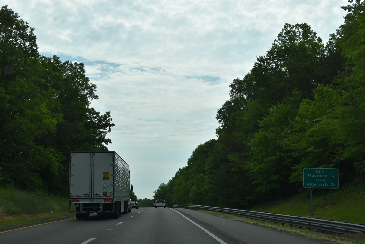
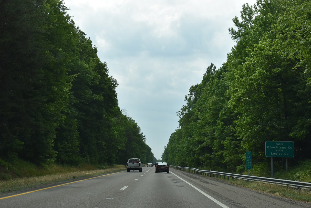
Abandoned rest areas line both sides of Interstate 64 ahead of the Goochland County line.
05/28/21
05/28/21

05/28/21
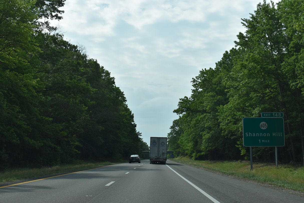
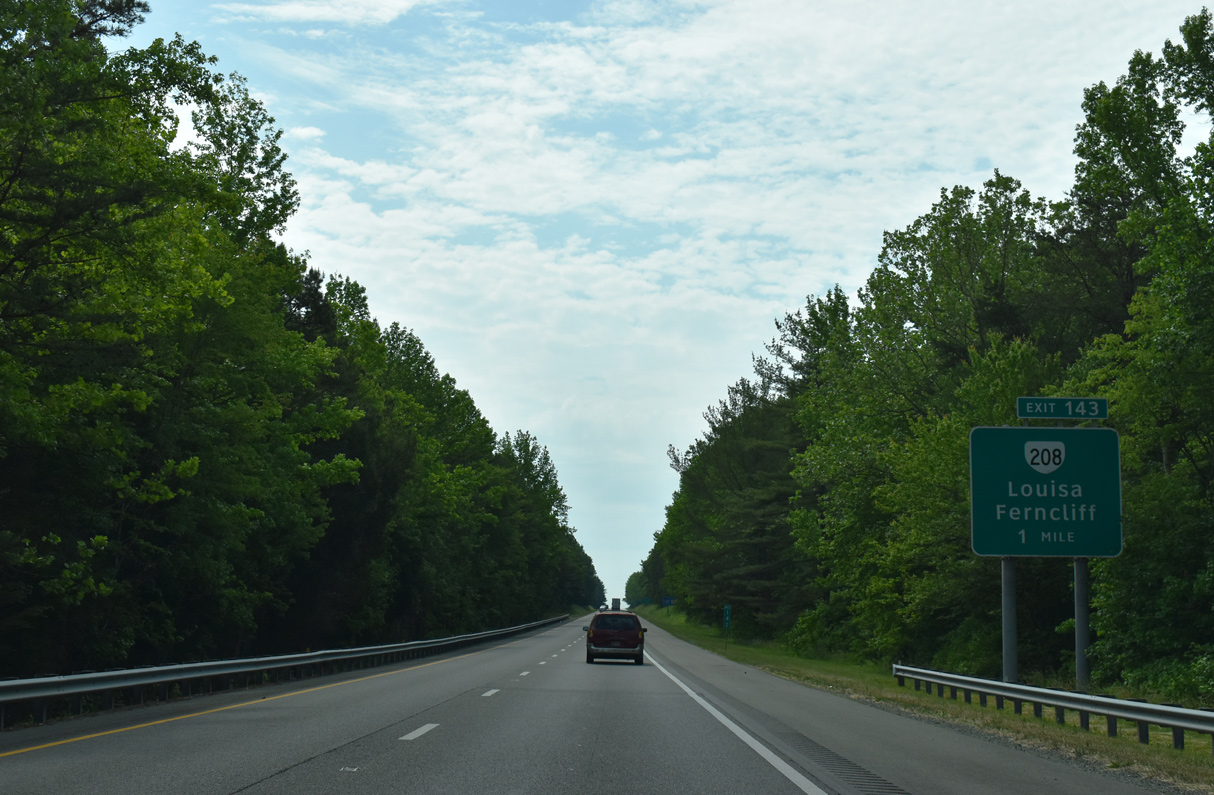
SR 605 leads northeast from forthcoming Exit 148 to Fredericks Hall in Louisa County and southwest to Tabscott and Columbia.
05/28/21
05/28/21
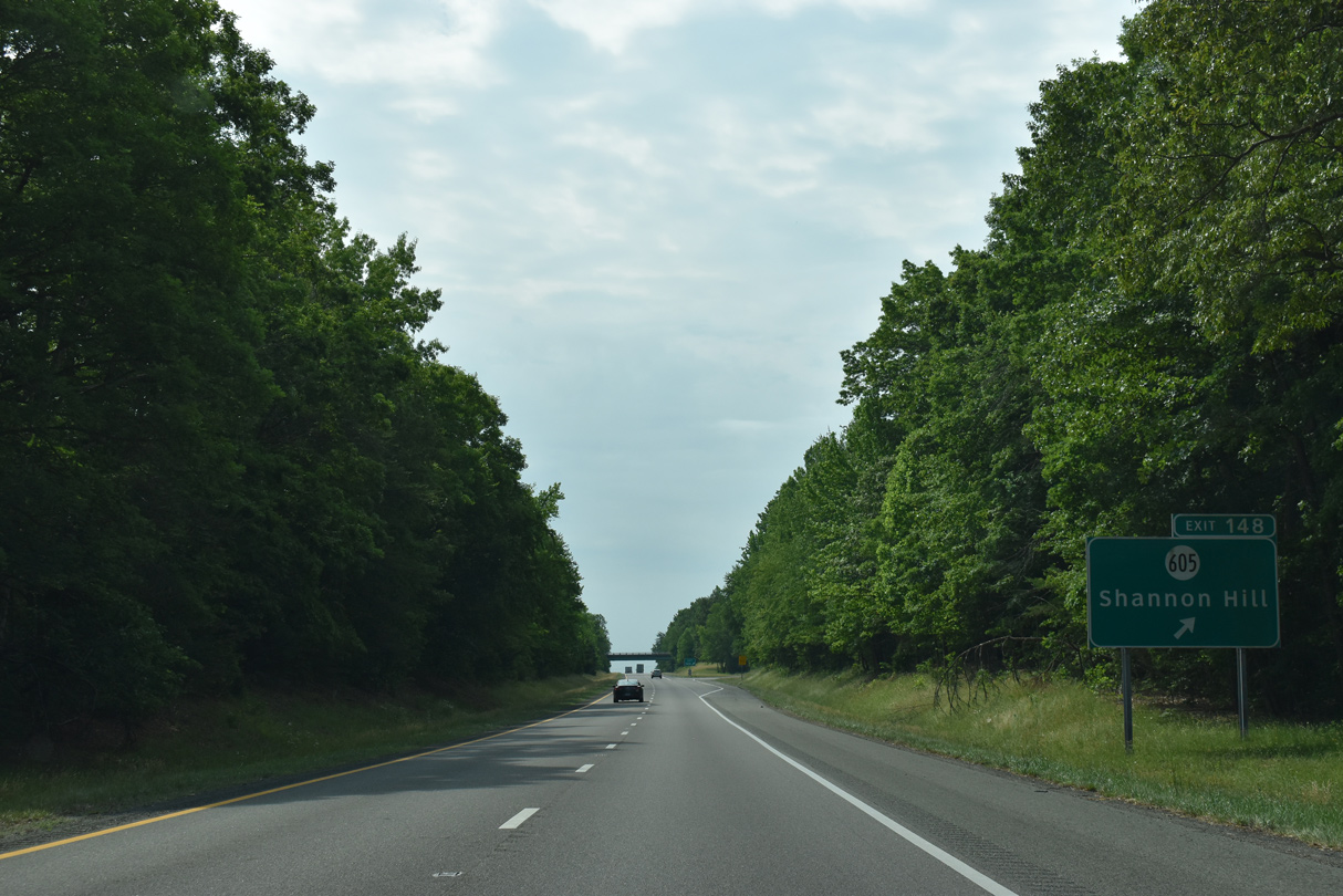
Exit 148 leaves I-64 east for SR 605 to Shannon Hill.
05/28/21
05/28/21
05/28/21
05/28/21
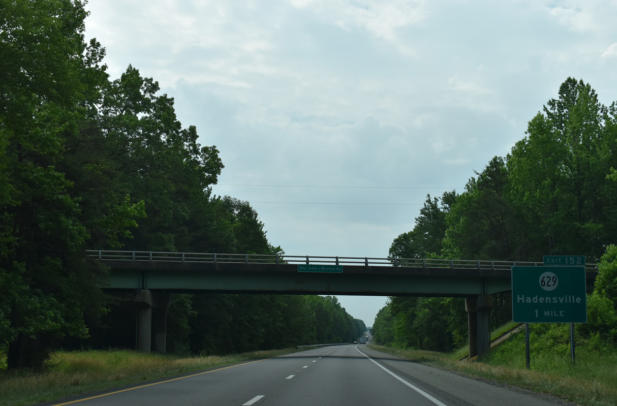
Interstate 64 advances one mile east from the Walton Road (SR 606) overpass to Exit 152 with SR 629 (Old Fredericksburg Road).
05/28/21
05/28/21
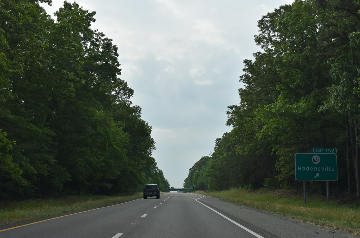
SR 629 travels southwest from I-64 to Hadensville. Leading northeast from Exit 152, SR 629 connects with U.S. 522 south of the South Anna River and Apple Grove.
05/28/21
05/28/21
05/28/21
05/28/21
05/28/21

05/28/21
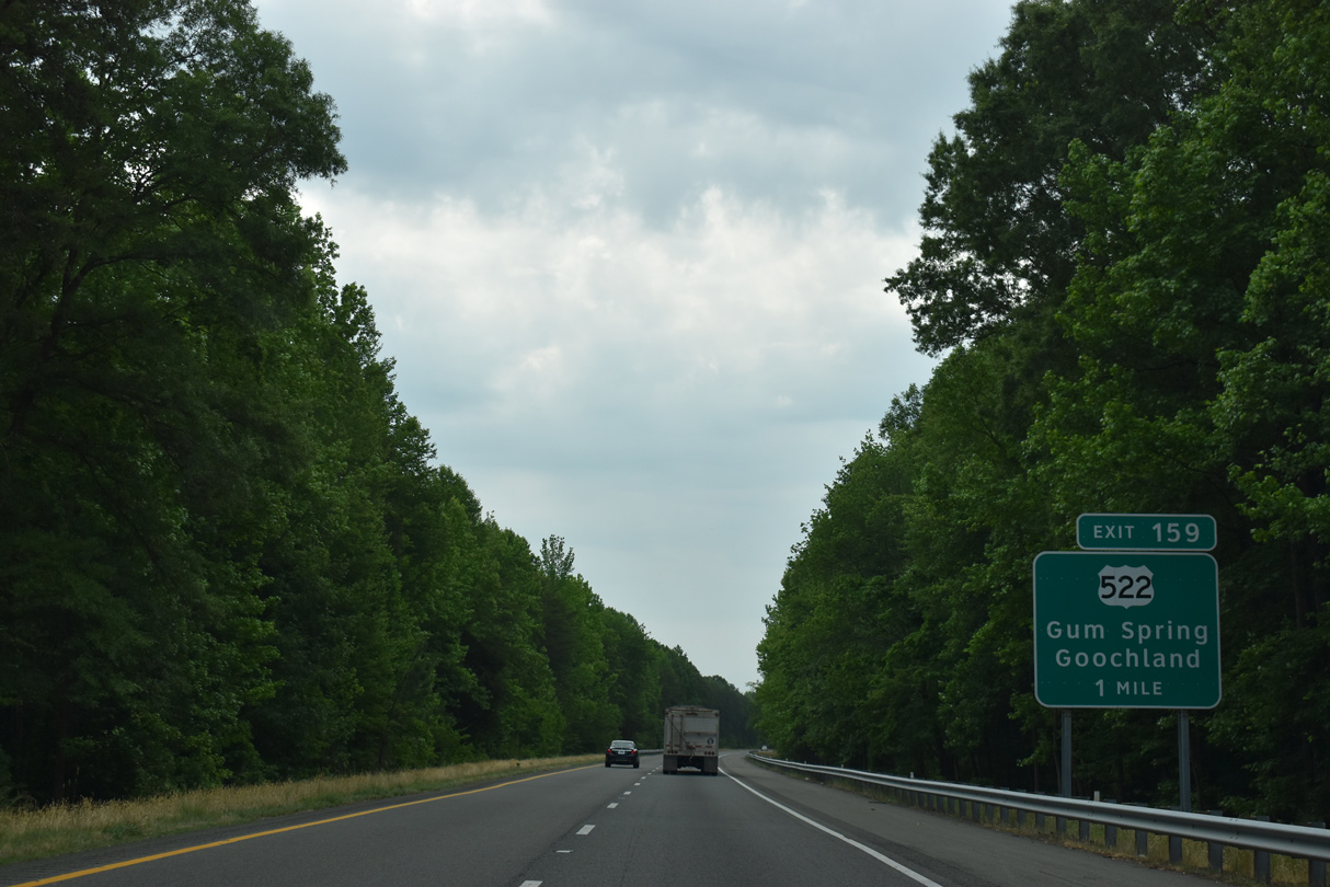
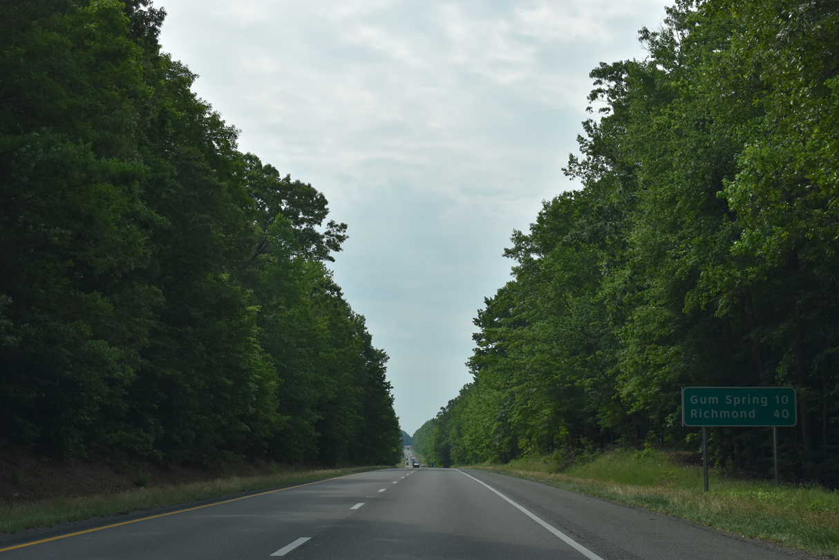
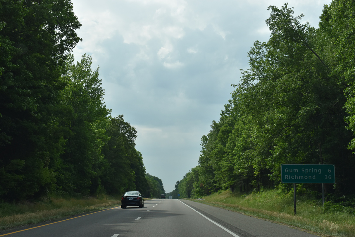
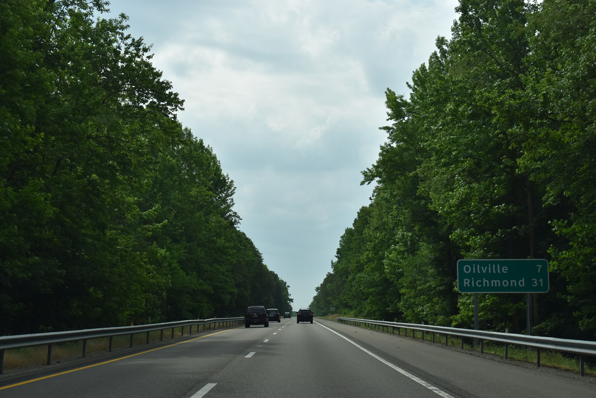
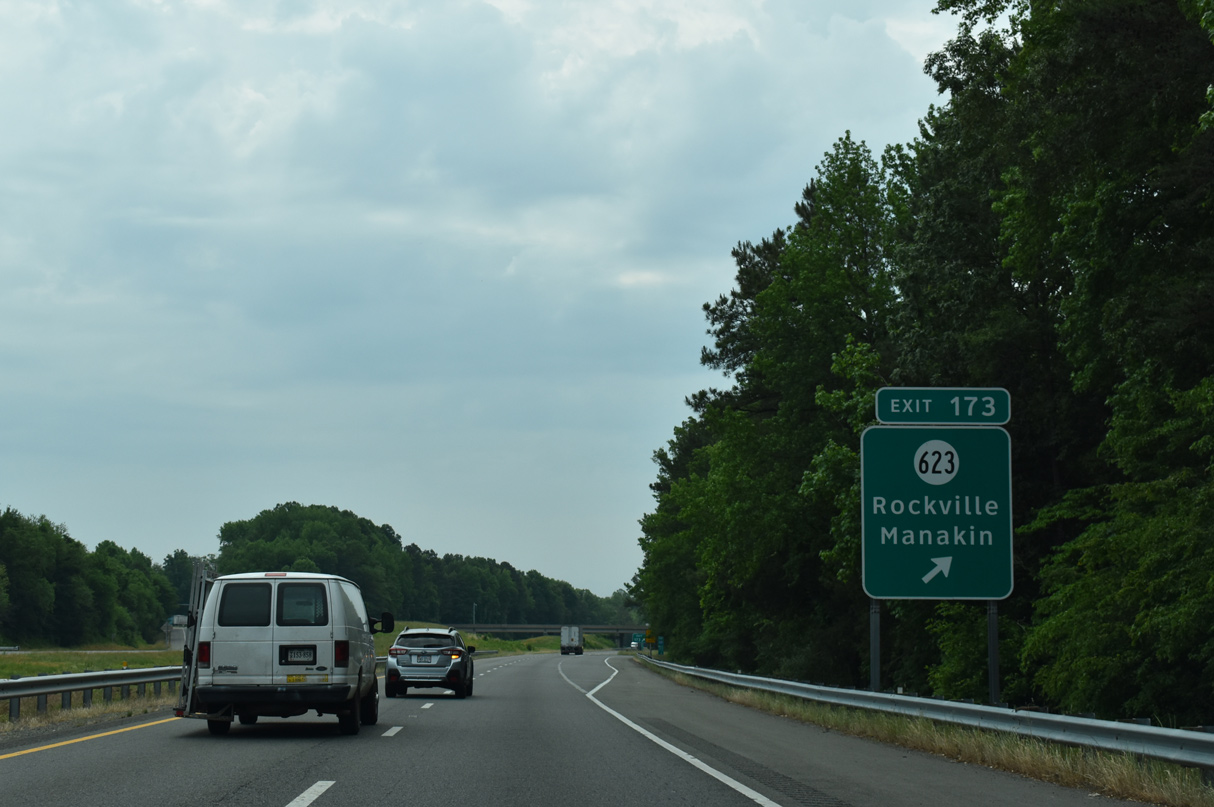
I-64 progresses east one mile to Exit 159 with U.S. 522. U.S. 522 heads south to Gum Spring, Goochland and U.S. 60 in Powhatan. Heading north, U.S. 522 aims toward Cuckoo (U.S. 33), Rhoadesville (SR 20) and Culpeper (U.S. 29). U.S. 522 extends north from Virginia to U.S. 11 at Selinsgrove, Pennsylvania.
05/28/21
05/28/21
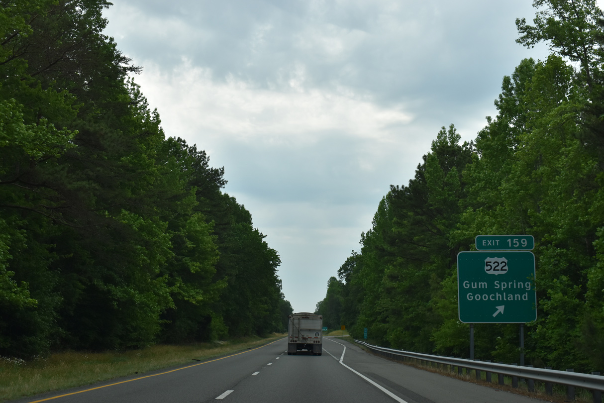
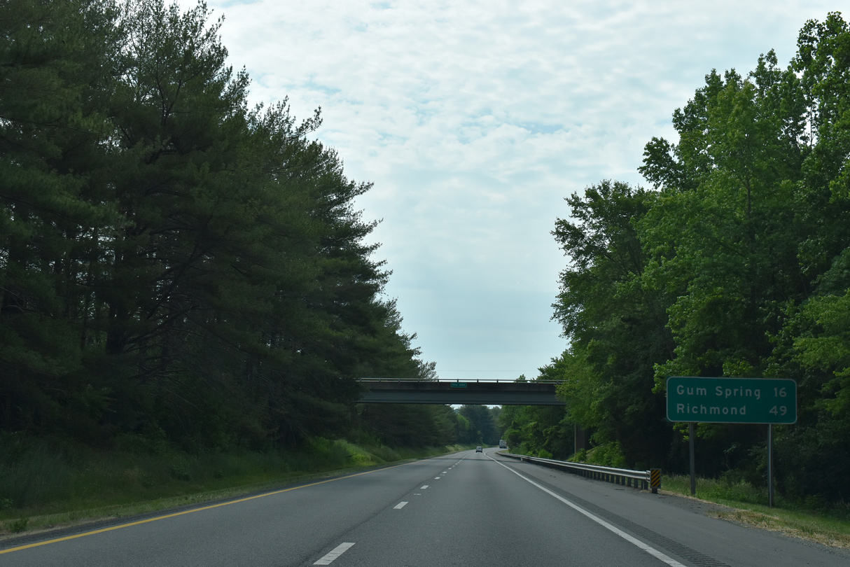
Exit 159 parts ways with I-64 eastbound for U.S. 522 near U.S. 250 at Gum Spring. Paralleling I-64 southeast to Oilville and Short Pump, U.S. 250 offers a more scenic alternative to I-64, with significantly less traffic and a more local flavor.
05/28/21
05/28/21
05/28/21
05/28/21
05/28/21
05/28/21
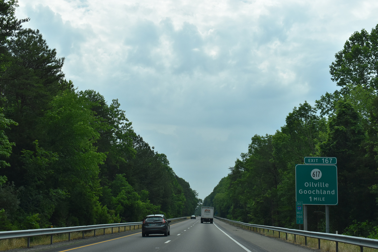
Interstate 64 eastbound enters the Richmond metropolitan at the rural diamond interchange (Exit 167) with SR 617 (Oilville Road).
05/28/21
05/28/21
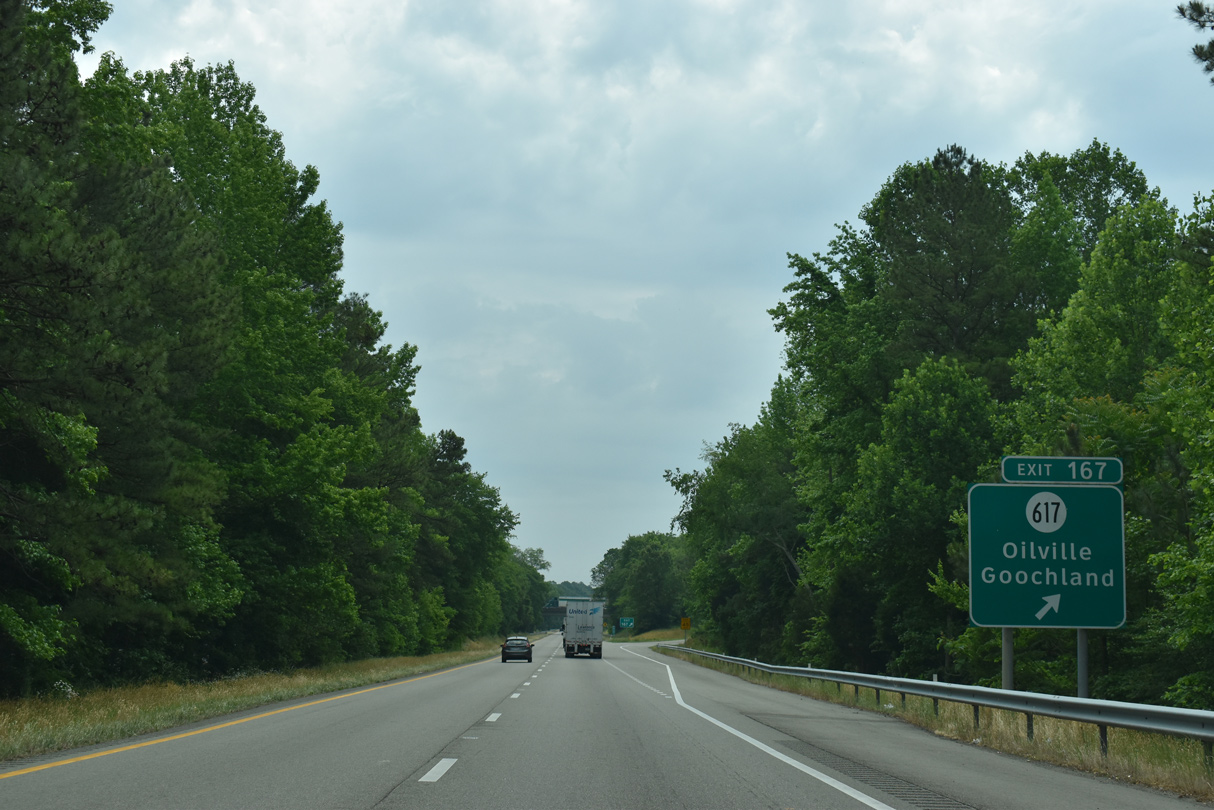
Eastbound Interstate 64 reaches Exit 167 for SR 617 to Oilville and U.S. 250. SR 632 branches west from U.S. 250 nearby to Goochland.
05/28/21
05/28/21

05/28/21

05/28/21
05/28/21
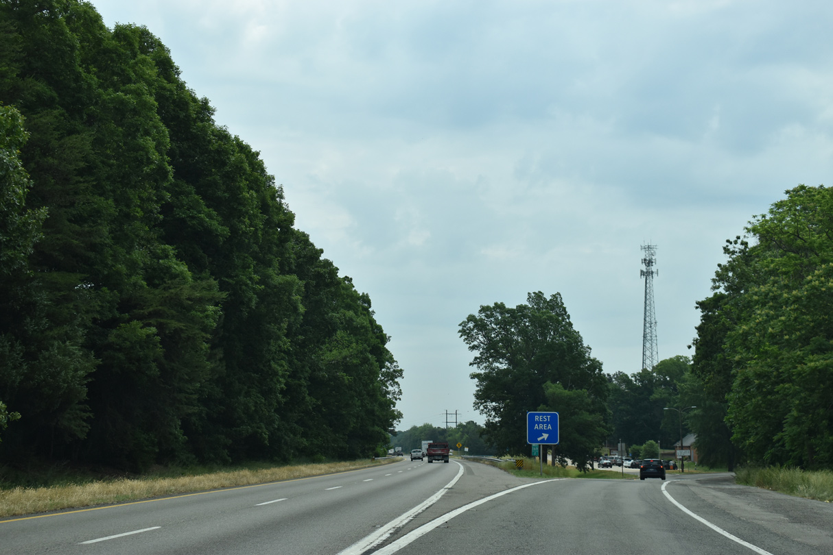
The next facility beyond the Goochland Safety Rest Area is 50 miles to the east.
05/28/21
05/28/21
05/28/21
05/28/21

05/28/21
05/28/21
05/28/21
05/28/21

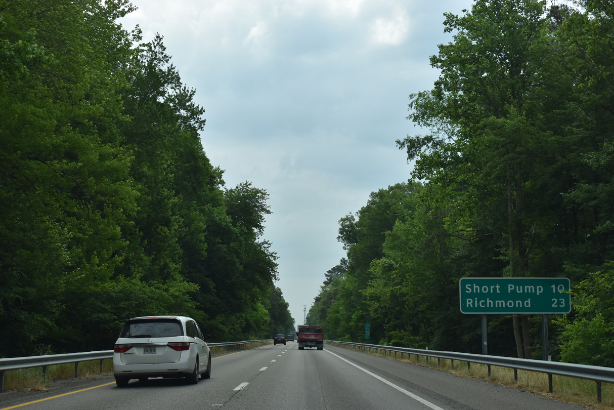
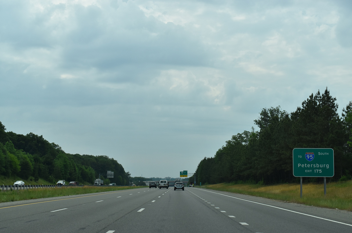
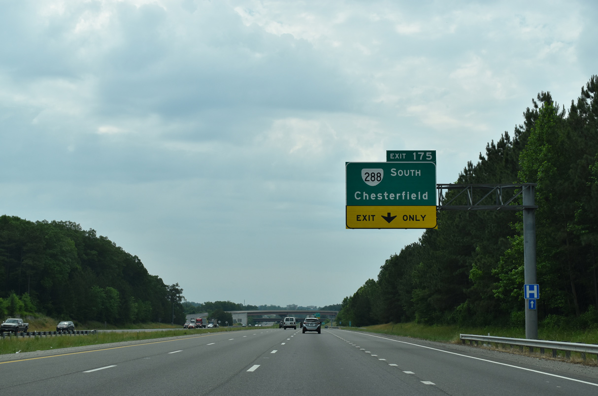
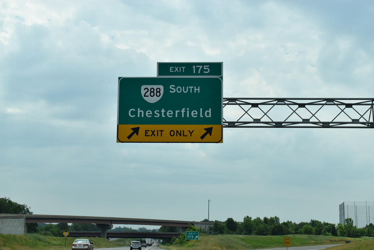
Advancing into the more densely populated suburban areas of metropolitan Richmond, Interstate 64 enters Henrico County just east of the exchange with SR 288 south.
12/16/16
12/16/16

Photo Credits:
- Brent Ivy: 05/28/21
- Alex Nitzman: 12/16/16
Connect with:
Page Updated Tuesday August 10, 2021.