
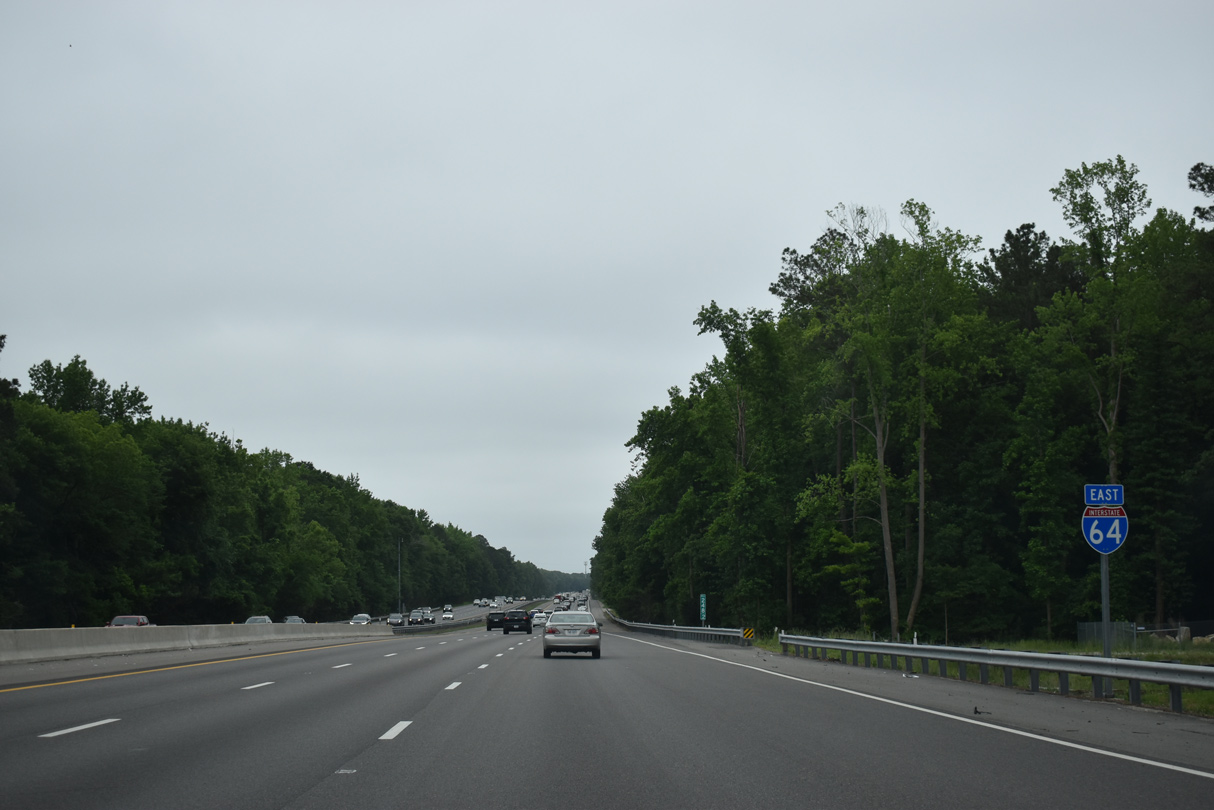
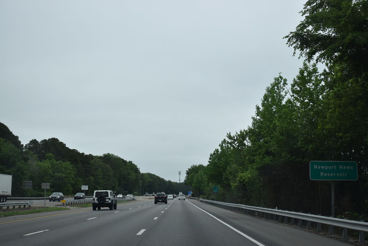
Interstate 64 East - Hampton Roads - Newport News and Hampton


 East
East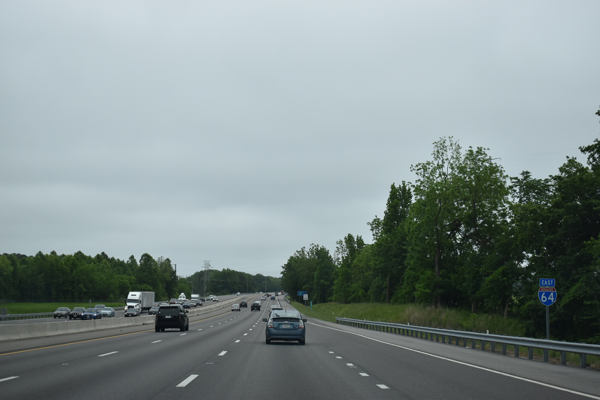
05/26/22
05/26/22
05/26/22
05/26/22
05/26/22

05/26/22
05/26/22
05/26/22
05/26/22
05/26/22
05/26/22
05/26/22
05/26/22

05/26/22
05/26/22
05/26/22
05/26/22
05/26/22

05/26/22
05/26/22
05/26/22
10/12/14
10/12/14
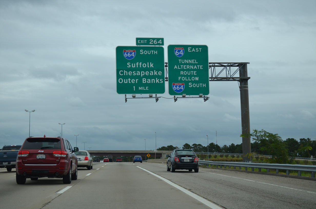
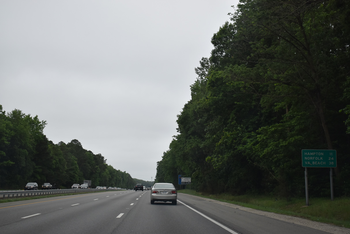
Travelers headed to the Outer Banks of North Carolina are directed southward onto I-664 to make the connection with SR 168 at Chesapeake. Traffic counts are lower along the route of I-664 south to I-64 outer (2009 max 113,000 vpd) versus I-64 east to I-64 inner (2009 max 176,000 vpd).
10/12/14
10/12/14
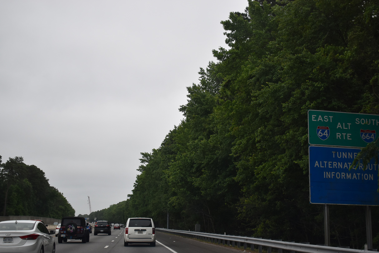
Interstate 664 constitutes the western half of the Hampton Roads Beltway between Hampton and Suffolk while I-64 represents the eastern half through Norfolk, Virginia Beach and Chesapeake.
10/12/14
10/12/14
Interstate 664 crosses the James River along the Monitor-Merrimac Memorial Bridge Tunnel from Downtown Newport News to northeastern reaches of Suffolk. The freeway was completed in 1992.
10/12/14
10/12/14
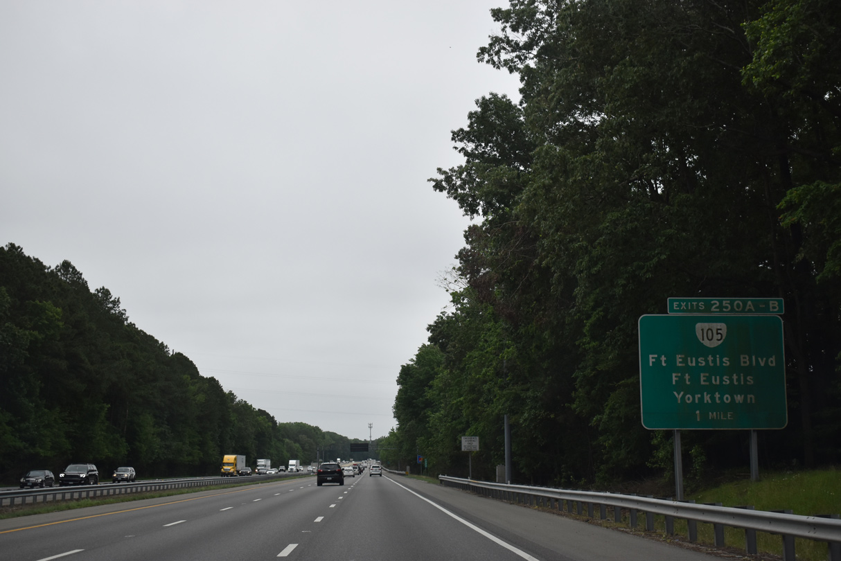
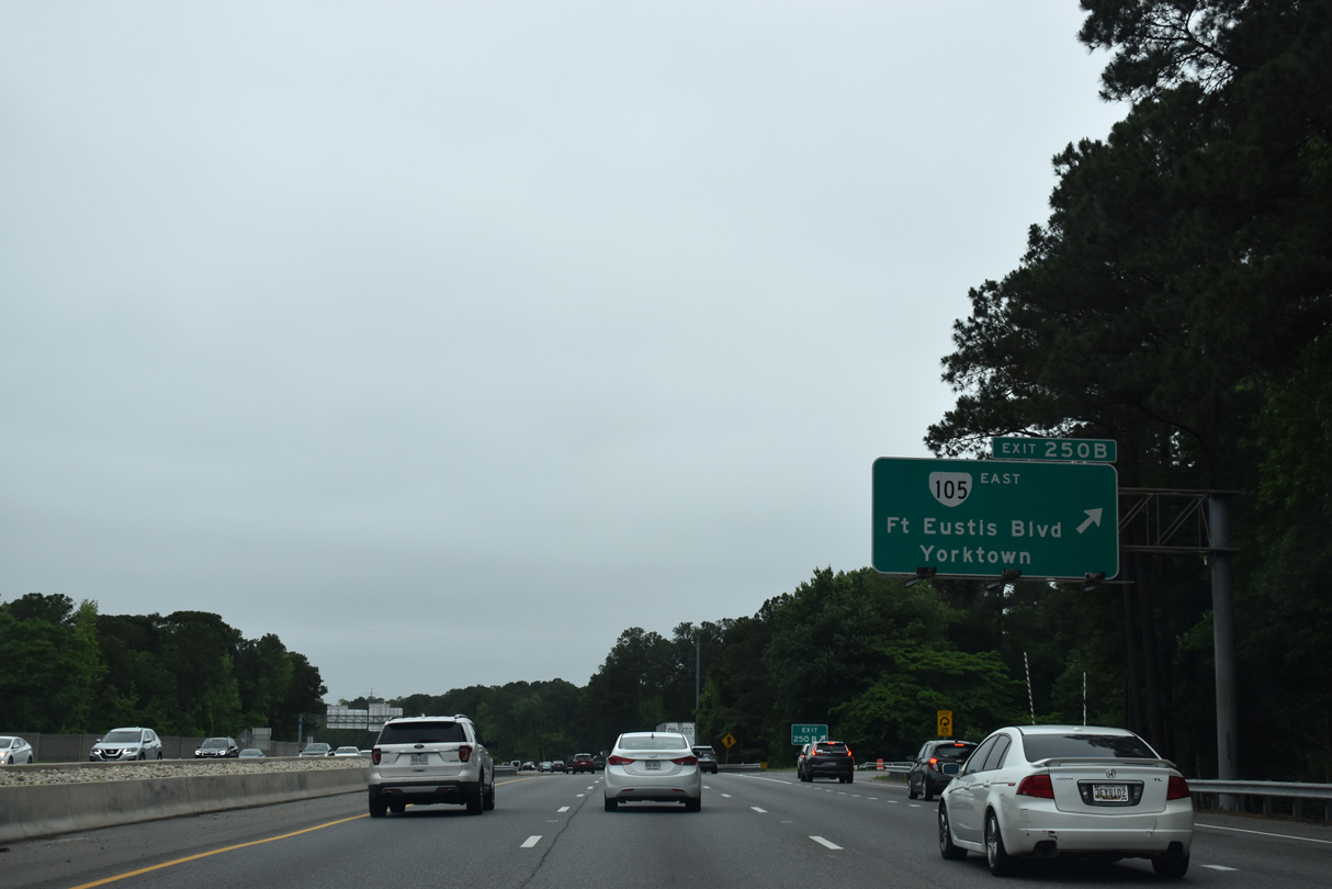
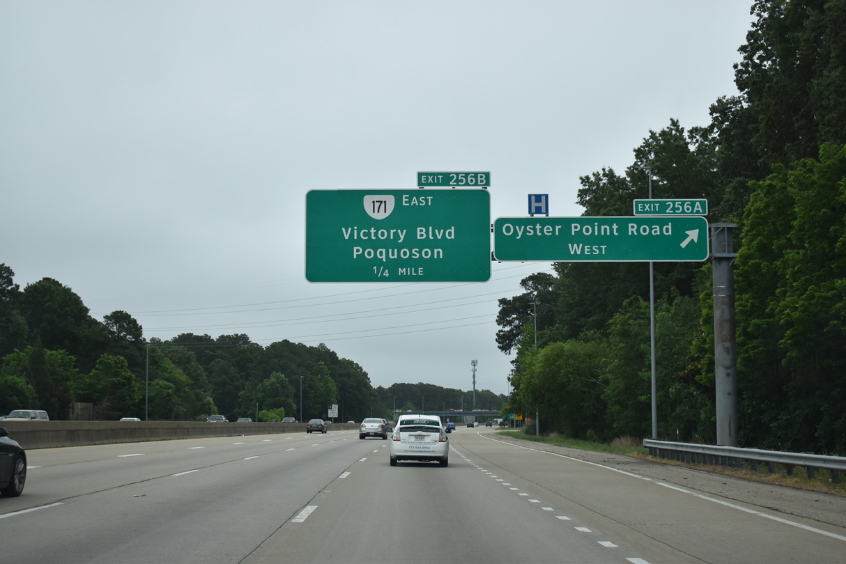
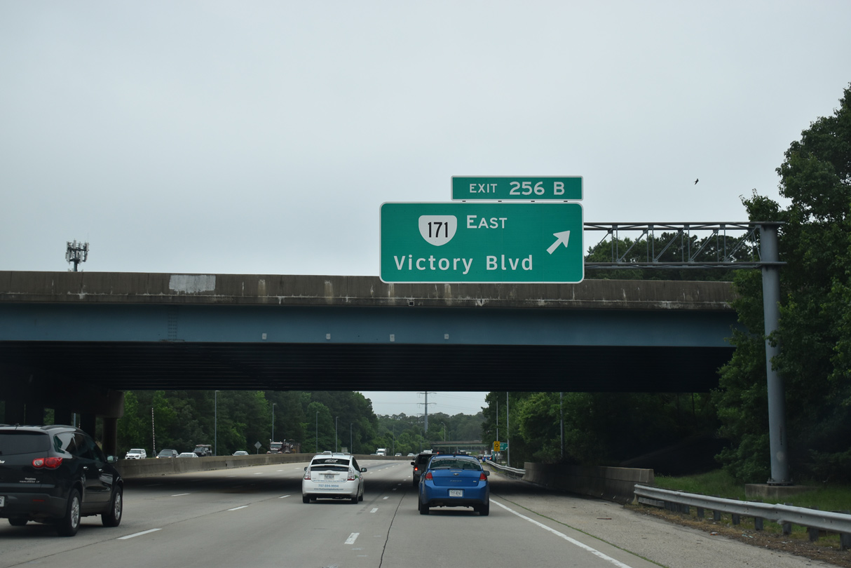
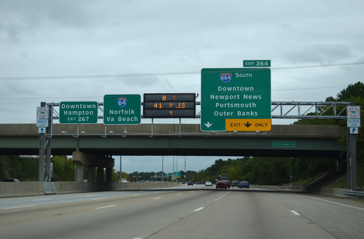
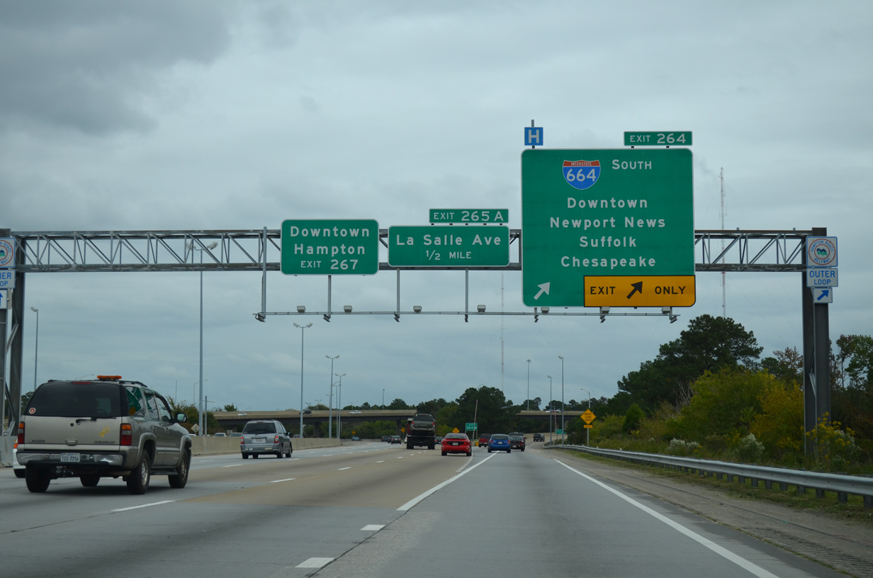
Interstate 64 east travels alongside Newmarket Creek to a six-ramp parclo interchange with LaSalle Avenue. LaSalle Avenue is former SR 167, a route decommissioned in 1999.
10/12/14
10/12/14
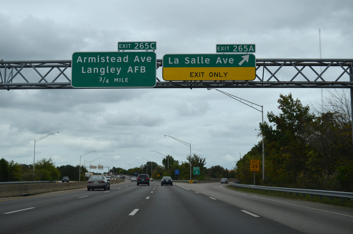
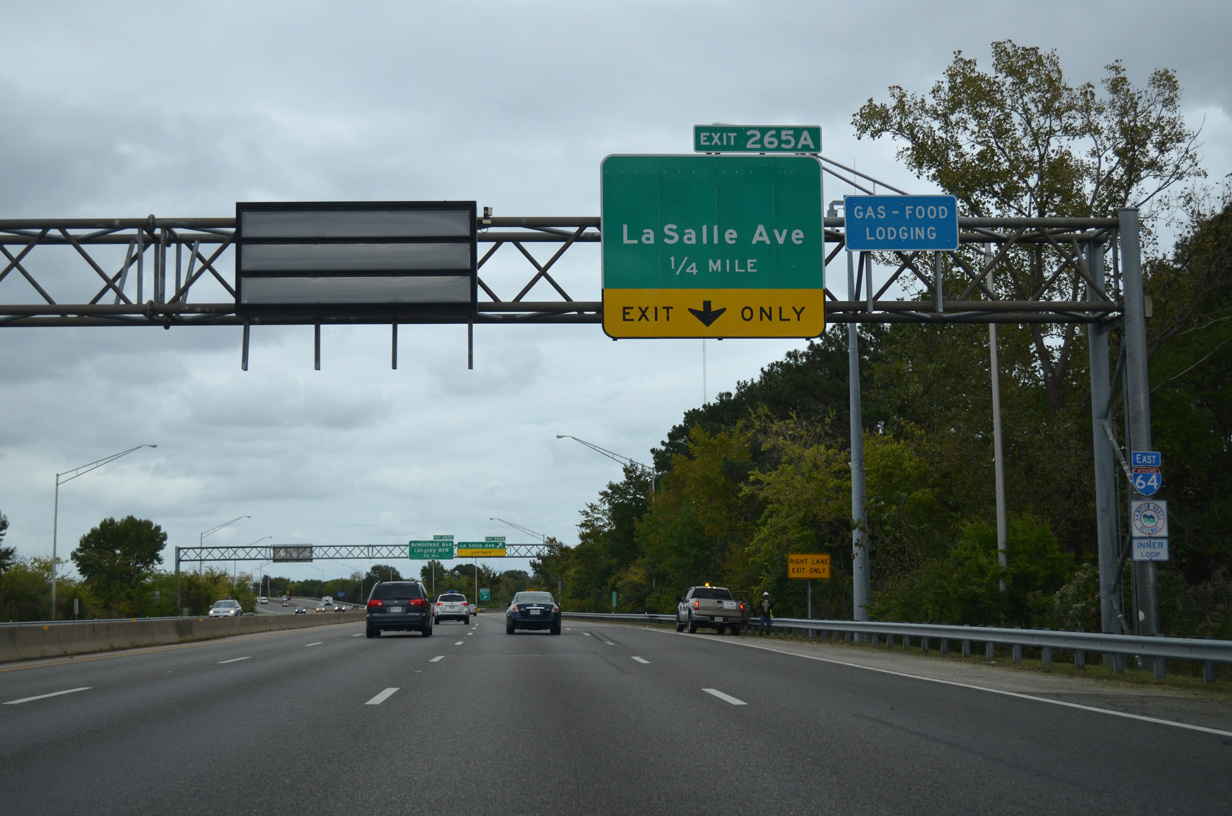
LaSalle Avenue constitutes a city street south of I-64 to Chesapeake Avenue along the Hampton waterfront. Northward the road widens into a divided highway leading to Langley Air Force Base. Exit 265A only provides direct access to LaSalle Avenue south from I-64 east.
10/12/14
10/12/14
10/12/14
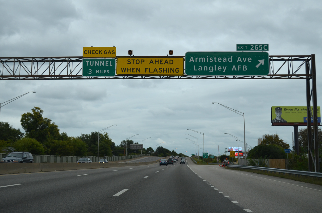
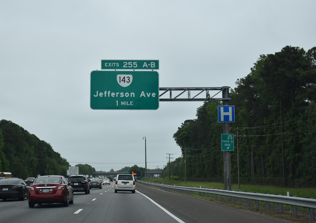
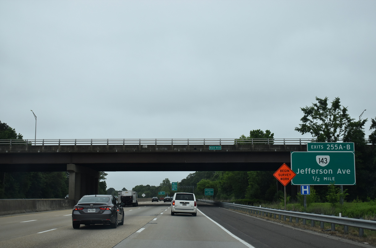
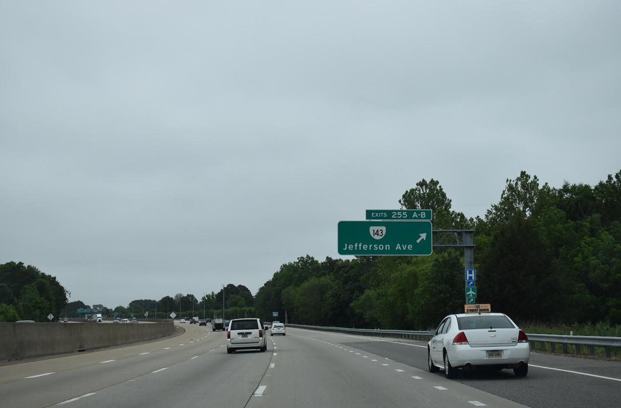
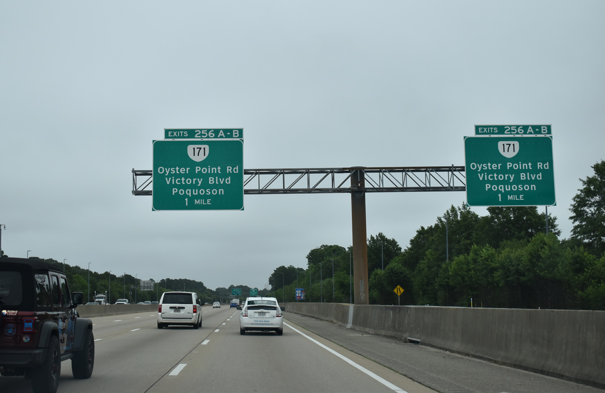
Exit 265C departs I-64 east for Rip Rap Road south to SR 134 (Armistead Avenue) and north to SR 278 (King Street) . SR 278 provides a second route to Langley Air Force Base while SR 134 stretches 11.71 miles between U.S. 17 at Tabb and U.S. 60/SR 143 (Settlers Landing Road) in Hampton.
10/12/14
10/12/14
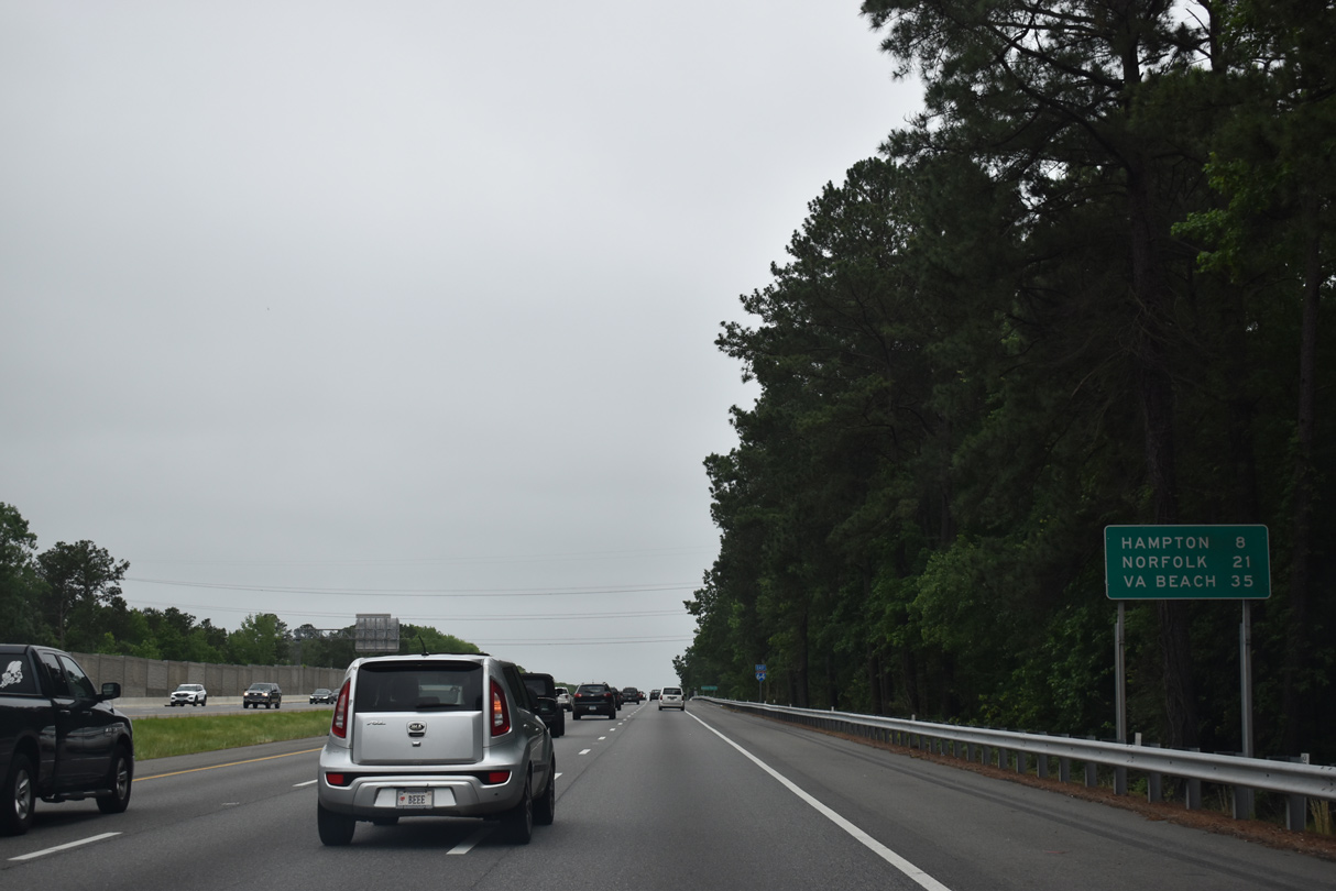
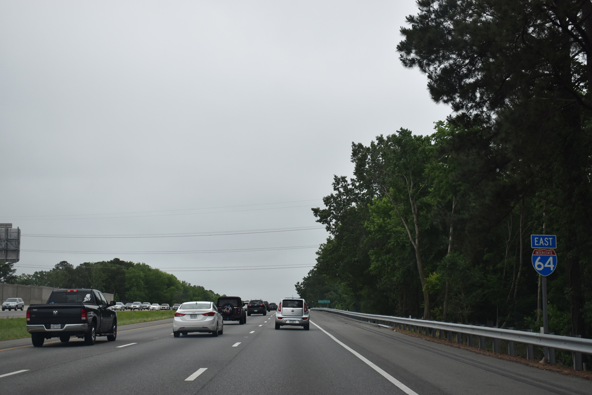
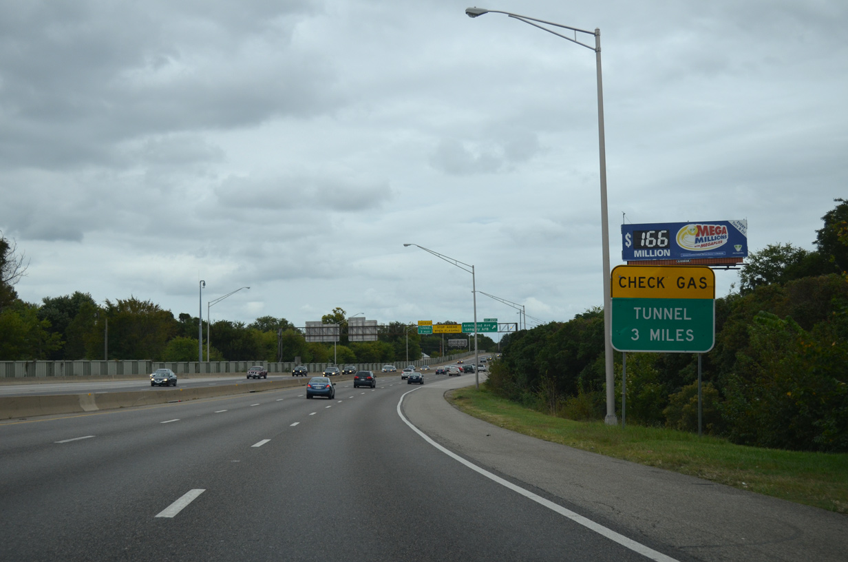
I-64 turns southeasterly toward the Hampton Roads Bridge Tunnel.
10/12/14
10/12/14
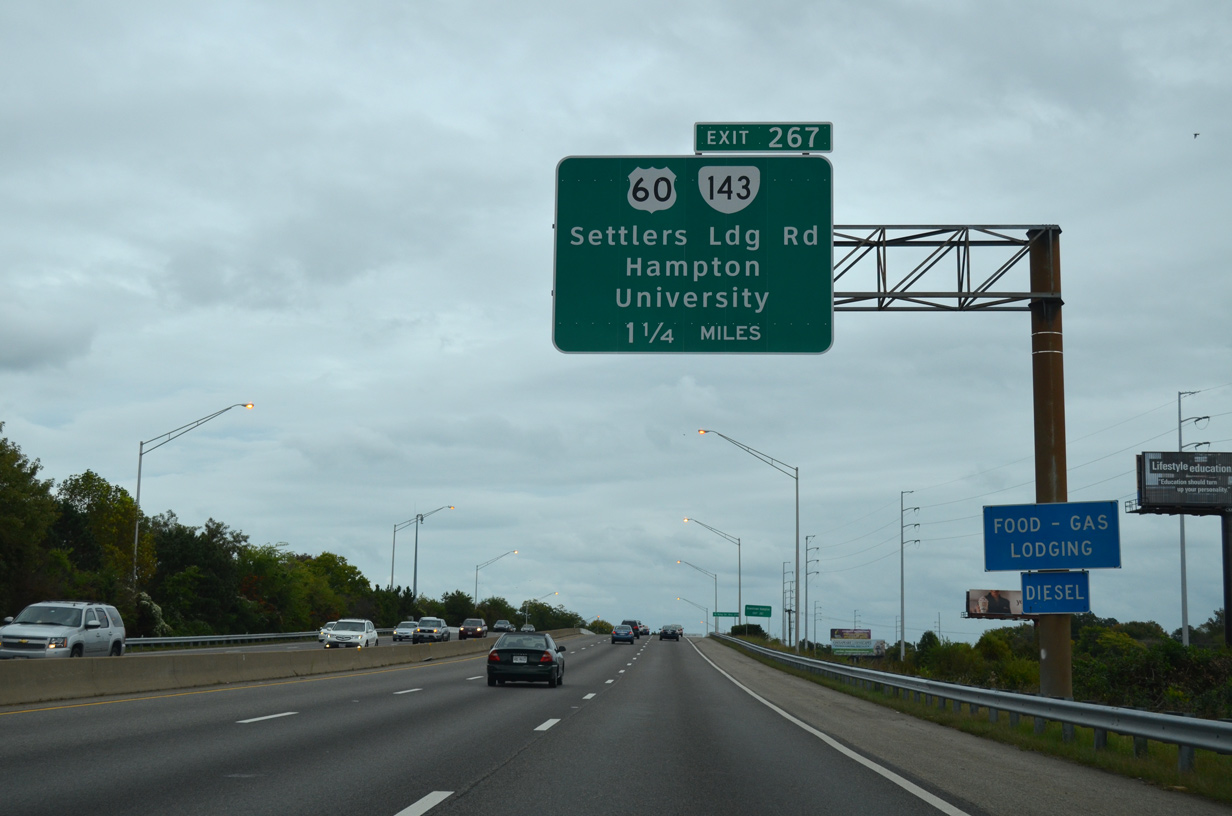
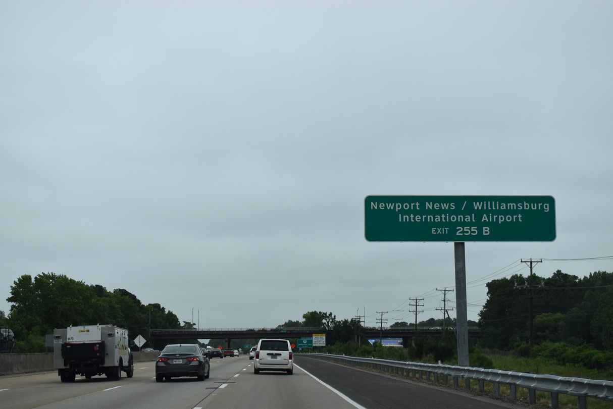
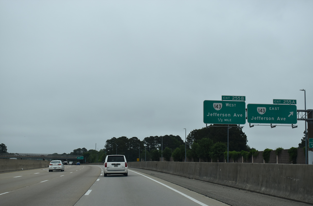
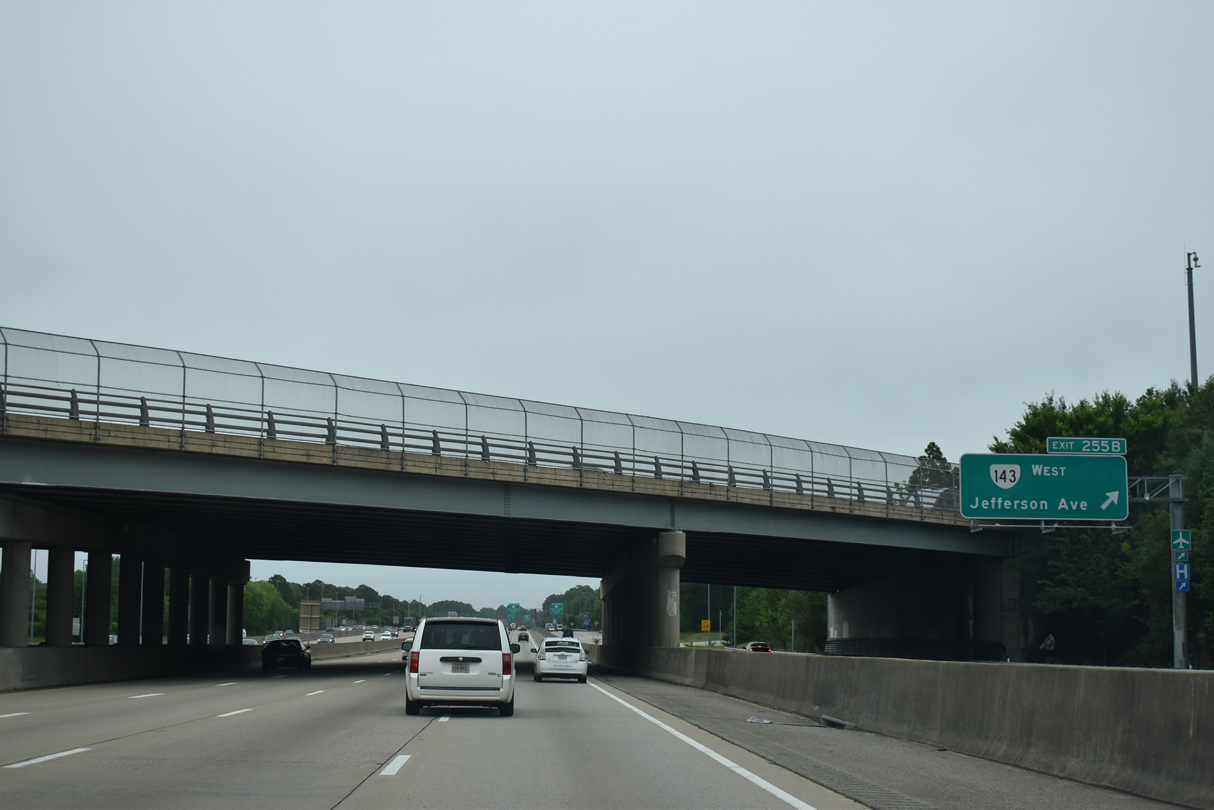
U.S. 60 eastbound combines with I-64 from a diamond interchange (Exit 267) with Settlers Landing Road (SR 143).
10/12/14
10/12/14
10/12/14
10/12/14
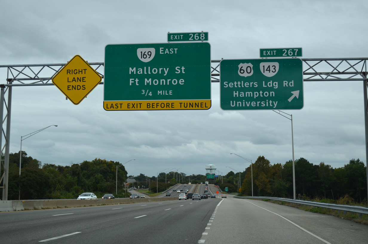
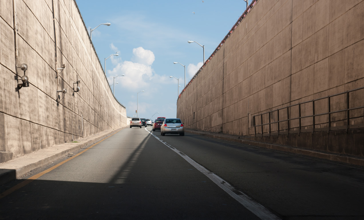
Exit 268 is the last departure point before I-64/U.S. 60 enter the Hampton Roads Bridge Tunnel to Norfolk.
10/12/14
10/12/14
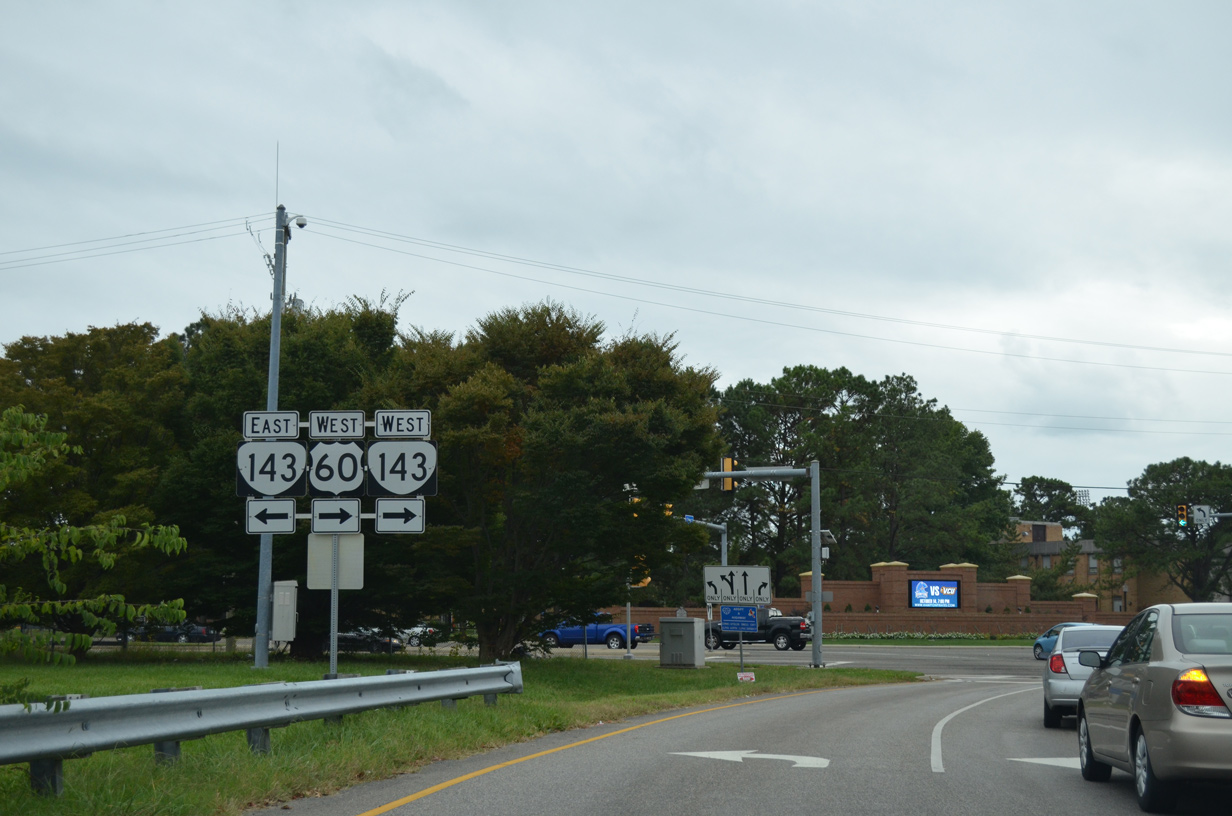
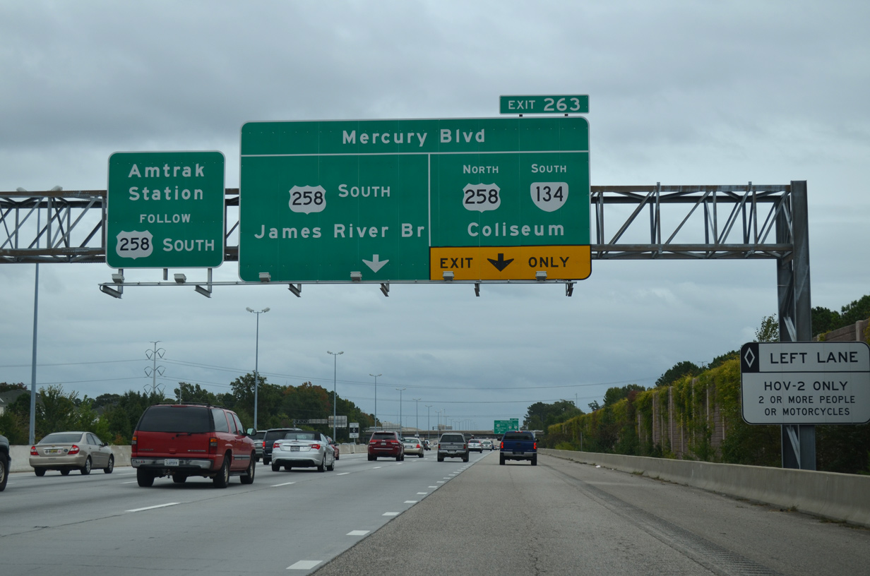
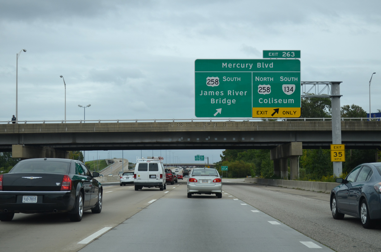
Exit 267 departs I-64 east for U.S. 60/SR 143 (Settlers Landing Road) west to Hampton University and SR 143 (County Street) east to U.S. 258 (Mercury Boulevard) at Fort Monroe.
10/12/14
10/12/14
 East
East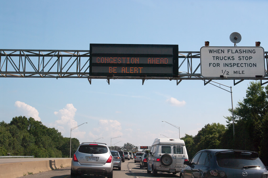
Progressing south toward the Hampton Roads Bridge Tunnel, I-64/U.S. 60 approach a parclo interchange (Exit 268) with SR 169 (Mallory Street) north.
06/05/10
06/05/10
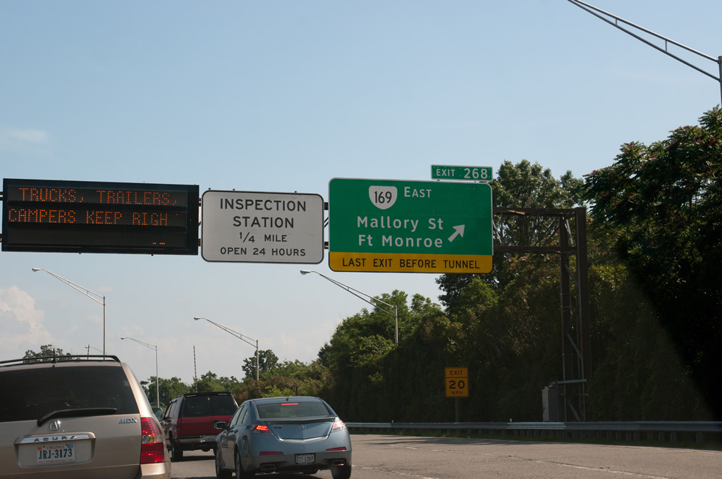
SR 169 leads northeast from Exit 268 to Phoebus and Buckroe Beach before turning west along Fox Hill Road to U.S. 258 near King Street. The circuitous route measures 7.25 miles, serving interests to Fort Monroe via connections with SR 143 and U.S. 258 east nearby.
06/05/10
06/05/10
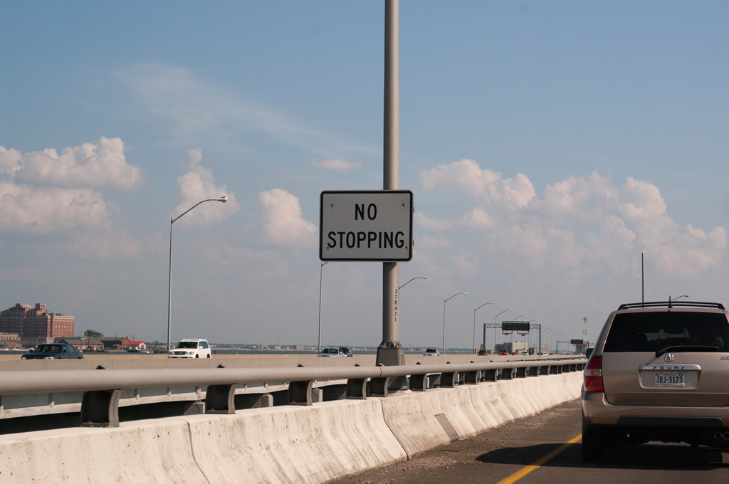
Heading south onto the Hampton Roads Bridge Tunnel, visible to the east is Fort Monroe and Old Point Comfort.
06/05/10
06/05/10
The Hampton Roads Bridge Tunnel opened to traffic in 1957 as a two lane tolled facility. A second two lane roadway opened to traffic by 1976, coinciding with the removal of tolls.
06/05/10
06/05/10


Photo Credits:
- Brent Ivy: 05/26/22
- Alex Nitzman: 10/12/14
- Will Weaver: 06/05/10
Connect with:
Page Updated Monday December 12, 2022.