
Interstate 64 East - Lexington to Mount Sterling

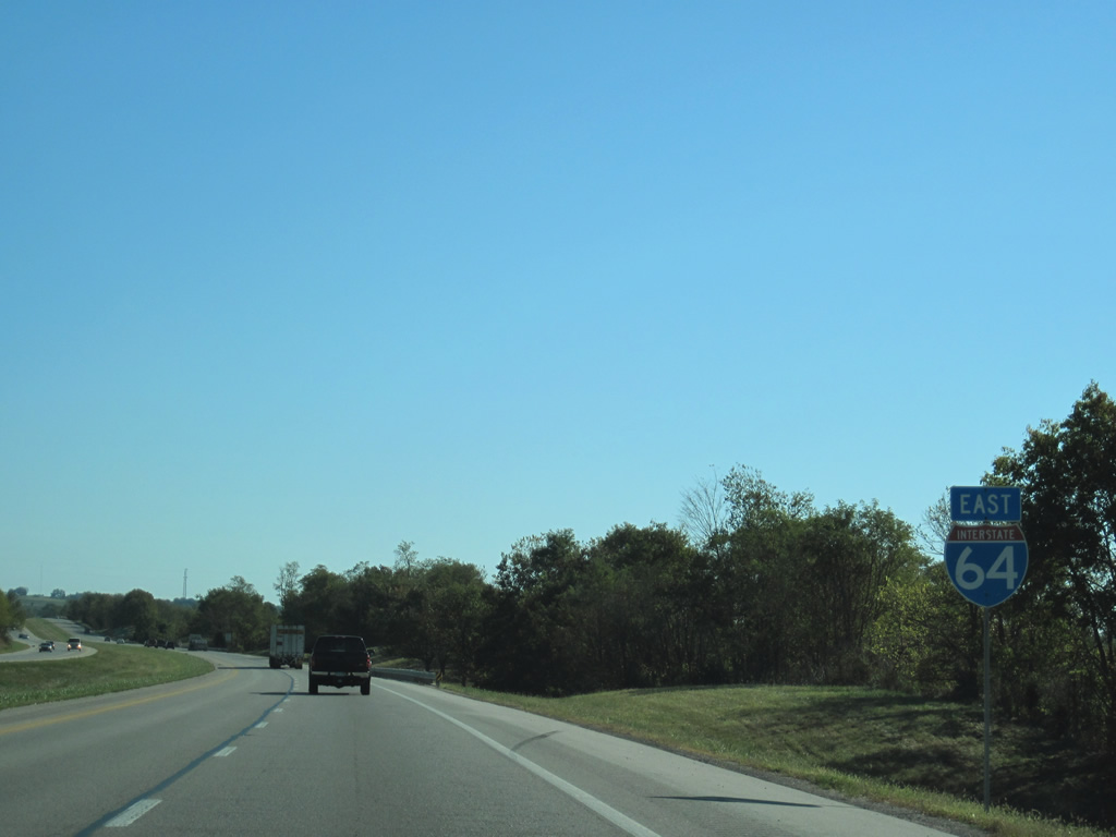
 East
East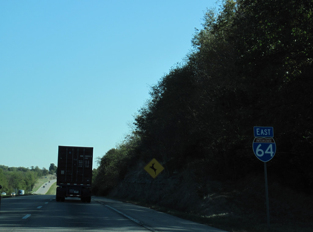
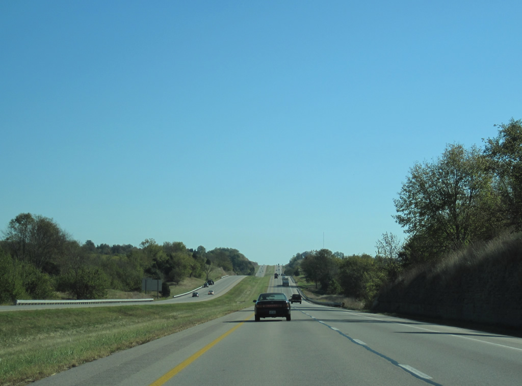
Leaving Mount Sterling, Interstate 64 lowers from a rock cut to cross Hinkston Creek beyond this eastbound reassurance marker.
10/02/10
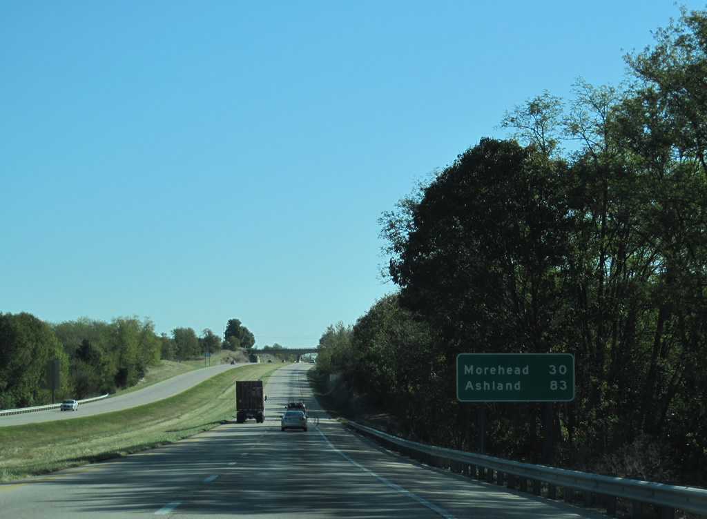
Morehead, the Rowan County seat, is 30 miles to the east. Ashland is the final control city in Kentucky. Ashland is not actually along Interstate 64 however as one must take U.S. 60 or U.S. 23 to reach the Ohio River city.
10/02/10
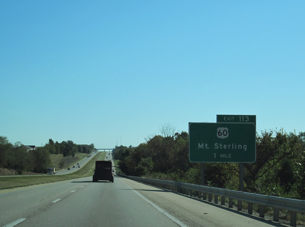
U.S. 60 (Owingsville Road) exits Mount Sterling and crosses paths with Interstate 64 again at the Exit 113 diamond interchange in one mile.
10/02/10

Turning north at Ewington (junction KY 1331), U.S. 60 arcs eastward from Exit 113 and an adjacent industrial park to Owingsville. Downtown Mount Sterling is a 3.5 mile drive to the west.
10/02/10
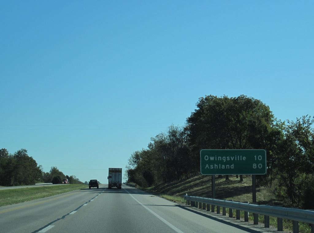
Continuing east through agricultural lands, Interstate 64 next reaches Owingsville in ten miles. Ashland is 80 miles from this point.
10/02/10
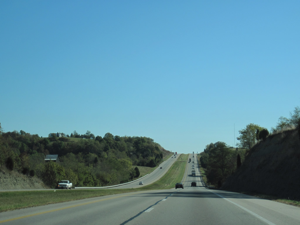
Traveling across the rolling hills of eastern Montgomery County to Salt Well Branch of Stepstone Creek.
10/02/10
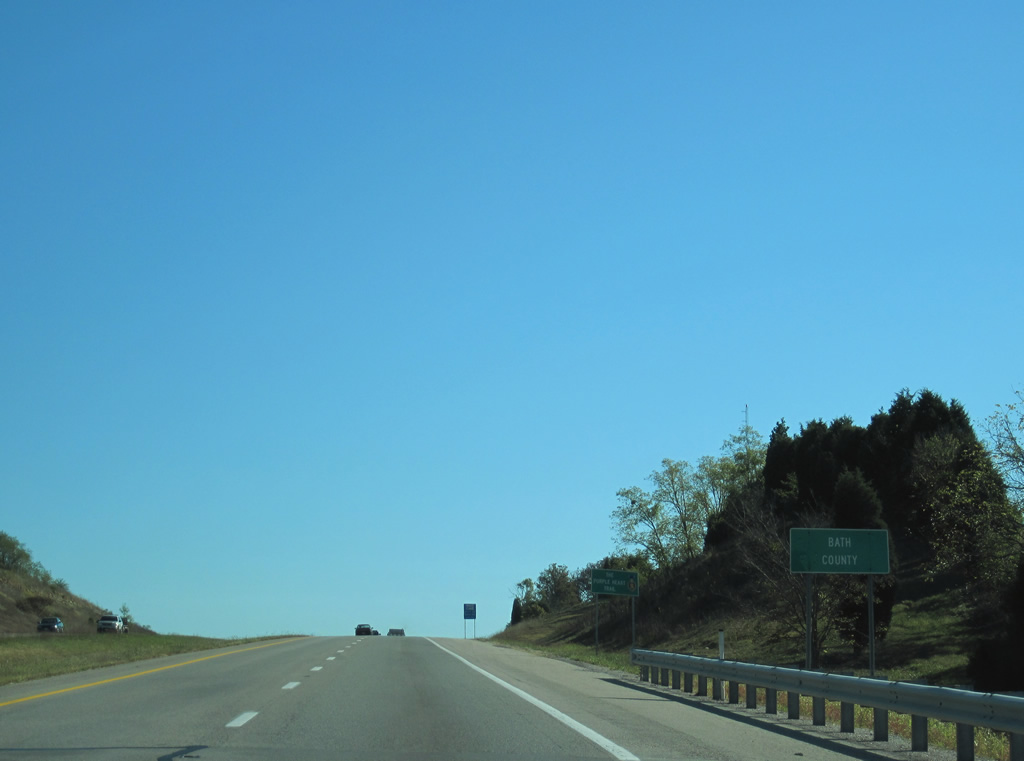
The 11.39 mile course across Montgomery County concludes as Interstate 64 enters Bath County. Similarly narrow, I-64 remains in the adjacent county for just 13.31 miles.
10/02/10
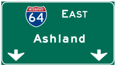

Photo Credits:
- ABRoads, Carter Buchanan: 10/02/10
Connect with:
Page Updated Sunday March 11, 2012.